JasonG
-
Posts
5271 -
Joined
-
Days Won
352
Everything posted by JasonG
-
Scott said that they were from outside the site ....
-

[TR] Strobach - Strobach D Approach Pitch 02/09/2020
JasonG replied to OlympicMtnBoy's topic in Ice Climbing Forum
The meal looked worth it! -
lost June Lake Mt. St. Helens Lost Swany Men's x-change black mitten
JasonG replied to nickdip528's topic in Lost and Found
Your house? A ski area? IKEA? -
[TR] MT. HOOD - Devils Kitchen Headwall 02/12/2020
JasonG replied to kadyakerbob's topic in Oregon Cascades
Wow, that is fast! -
Wow, thanks for the warning @scottwesh! Will let the admins know...
-
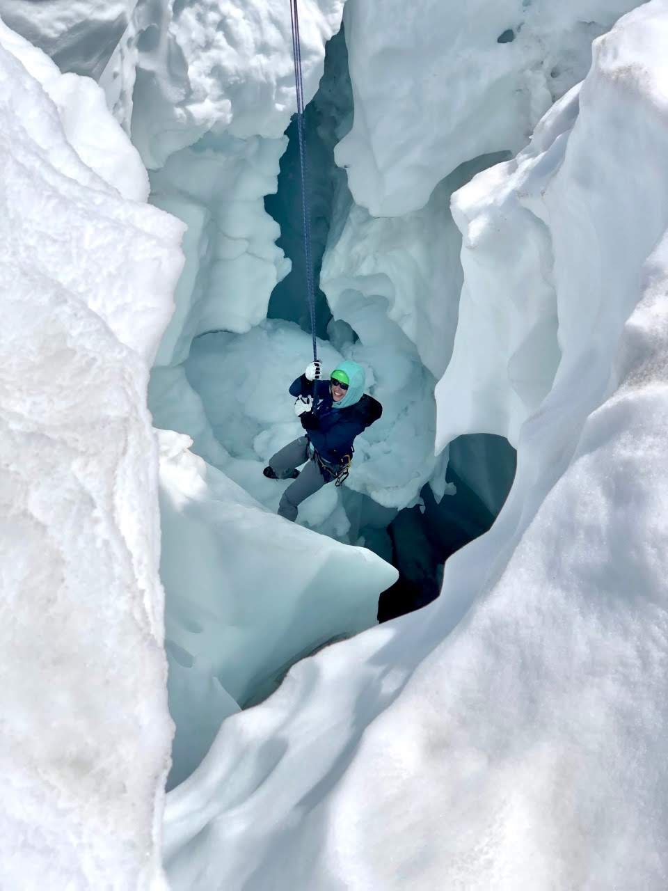
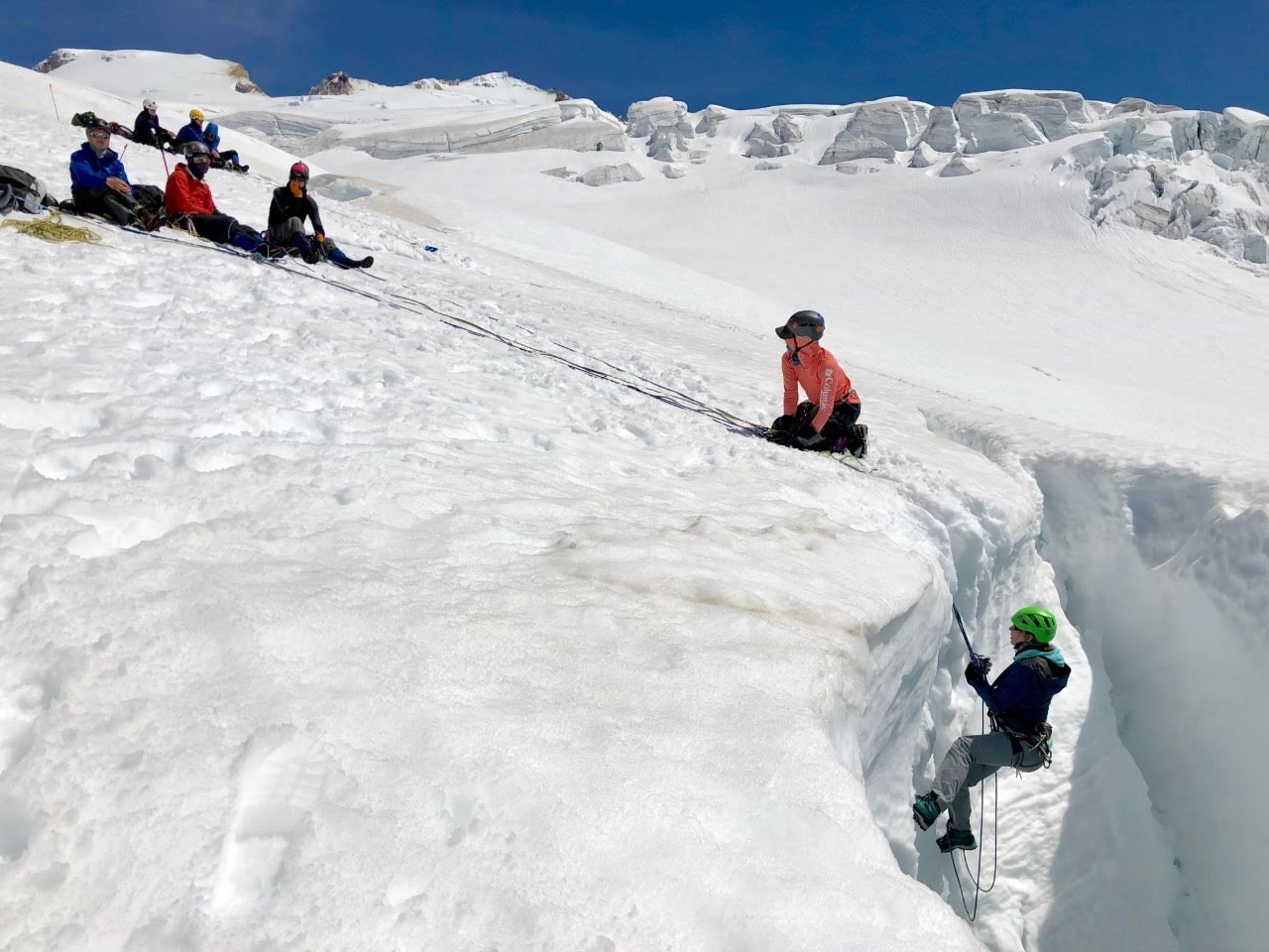
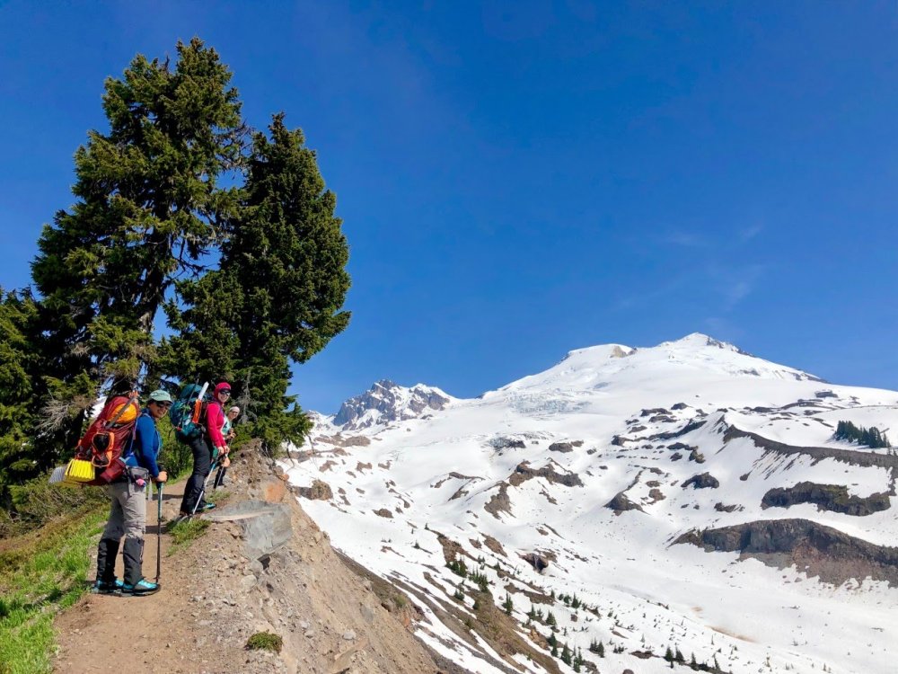
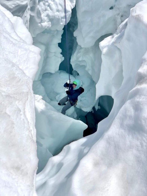
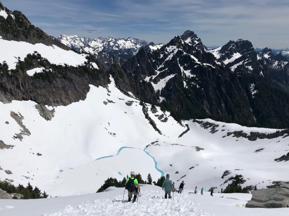
The Basic Mountaineering Course is being offered by the Skagit Alpine Club this year between April 8th and June 7th. The objective of the course is to introduce you to the mountains and teach the basics of climbing in the alpine environment. The entire course is run by volunteer members of the club The course is designed to teach the fundamentals of climbing in the alpine environment and provide you the skills necessary to safely travel and camp on snow and glaciers. The course not only introduces the fundamentals of climbing, but also provides an environment and opportunity for team building, trip planning, and building trust with climbing partners. The course consists of several weeks of classroom sessions and field outings. Classroom sessions will be on Wednesday evenings from 6:00 - 9:00 PM. The location of the classes is typically within the city of Burlington. The classroom sessions are accompanied by weekend outings to practice skills. Destinations for weekend outings are not predetermined and will be based on weather, road, and other conditions. The course is set to begin April 8th with the last outing being June 6-7th. The minimum requirements for registering for the Basic Mountaineering Course are: · Must 18 years and older · In good physical conditioning · Available to attend all the classes and outings To sign up for the course, go to the REGISTRATION PAGE. Options for the registration fee are provided once the registration form is submitted. For more information, visit the SAC website

-
- 1
-

-
I'm not knocking the modern race at all. I'm more curious what new gear and techniques could shave off the original RT times from Glacier.
-
CC.com is not dead yet!
-
Sorry Dan, impressive but not exactly comparable. We need to revive the actual race to the summit, if not from Bellingham, at least from Glacier! I understand with the wilderness act and all it would have to be underground.
-
Yes, I wondered about this, but didn't see a mention in Megan's obit.?
-
So much there that I didn't know, thanks! I had always wondered about Helmy.....The accomplishments for a youth of his age are mind boggling.
-
[TR] Selkirks - High Traverse (III 5.4) + Harrison Peak 08/18/2018
JasonG replied to The Real Nick Sweeney's topic in Idaho
We are very happy to know that you are not dead yet. Welcome back! -
[TR] Selkirks - High Traverse (III 5.4) + Harrison Peak 08/18/2018
JasonG replied to The Real Nick Sweeney's topic in Idaho
@Dane!!!!! -
Above 7k I can say that it will be deep (and wind affected). Five FEET forecasted in the next few days in the North Cascades!
-
Amen. Thanks for letting us know. I talked with Fred a number of times, but never had the honor of meeting Dee.
-
idea Winter/Spring climbing glove discussion
JasonG replied to kmfoerster's topic in The Gear Critic
Nice!! Thanks for the update on those.... -
Backcountry Ski Trip - Granite Peak MT
JasonG replied to sacredsummits1's topic in Climbing Partners
Isn't the "Froze to Death" Plateau out that way? -
Who is your weather guy?
-
What about if you just provide about #30 of upward pull for the duration? I'm not quite to full carry ineptitude yet.
-
I with @Jim. We'll just tie in and yell "Hit it!"
-
I'm having a hard time wrapping my mind around that much climbing in 18 hours. Well done!
-
Keep your eyes out in the North Cascade next summer!
JasonG replied to Bronco's topic in Climber's Board
Most people have a hard enough time in the North Cascades just finding the obvious gully- my guess is that the the drugs are destined to rot into the earth very peacefully, aided by some unhinged (even for them) Snaffles -
I find that this one is just right Dan: https://www.casio.com/products/watches/sports/sgw300h-1av Been using it for a decade or more with no issues other than a new battery.
-
Thanks @curtveld! It certainly did have better views that I was expecting and low enough to be a good option in the shoulder seasons. You won't ever find it crowded!
-
Yes, thank you @tanstaafl, great looking service.