Jump to content

JasonG

Moderators
  • Posts

    5029
  • Joined

  • Days Won

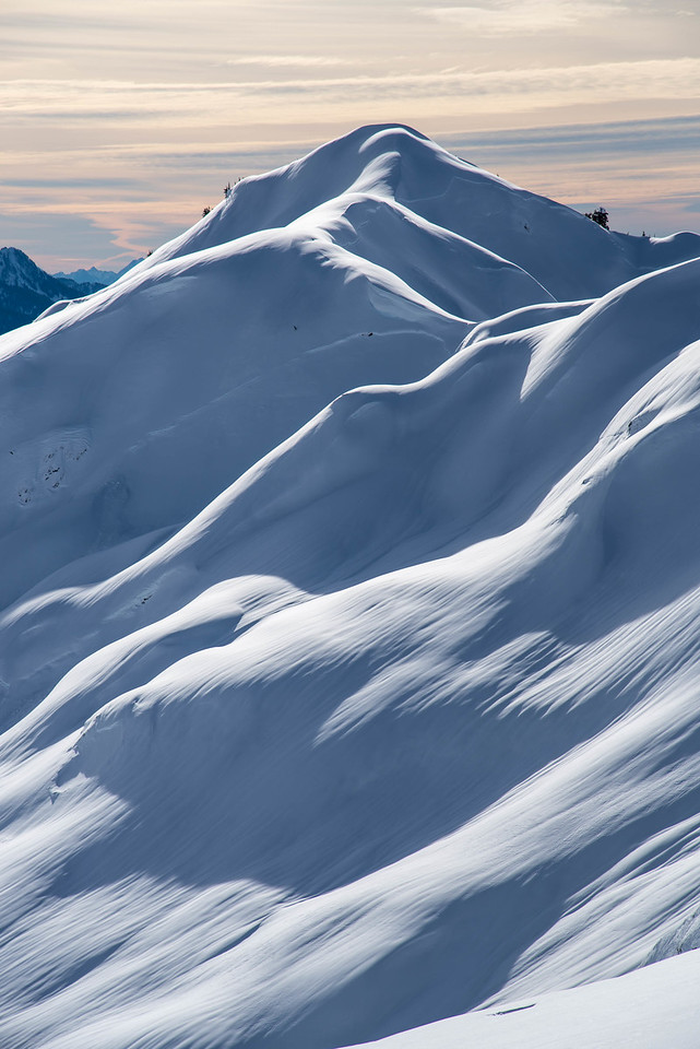
    275

Everything posted by JasonG

  1. I was hoping that they would have come way down in price by now, at least for the Mk III. But no.....
  2. I wish I could convince the finance minister to get a new RX100.... but probably won't happen.
  3. I have a P&S (Canon S120, which has been replaced with the G5X) case on my shoulder harness of my backpack for routes where my DSLR gets in the way (so, mid fifth and up at my choss pup ability). I use a velcro strap to wrap tightly around shoulder strap, then use case attached to that (something simple like this). Wrist laynard on camera is clipped to sway straps at top of shoulder strap with non-climbing biner to keep me from dropping it. Will work in rain and brush no problem, though in car wash situations I will put it inside my pack since I am not taking photos anyways. Never destroyed a camera in the Cascades, which I often marvel at, esp. given the terrain and weather. I am careful not to ever drop them though.
  4. What is the going rate for that one? I keep wondering if I'm going to be able to retire on my complete collection one of these days.
  5. Thanks for the report and glad you guys made safe decisions for your team!
  6. OR used to make pretty sweet insulated sleeves for 0.5 and 1L water bottles. It looks like they don't any longer, at least for the 0.5l size? I find that is a nice size to keep on your pack waist strap in really cold conditions, with the rest of your fluids in your pack.
  7. Trip: Mount Ann - The path of powder, part deux Trip Date: 12/28/2020 Trip Report: Well, @Alisse is right. We need more ski TRs! Or at least more pretty pictures of snowy mountains. Which is what this is, more or less. It was a typical day for @Trent ,@kmfoerster, and I in the Baker backcountry so not much to report other than good snow, great company, and a fun day out and about. After a couple laps on the north side of Ann my legs were tired on the grind out of Swift Creek, but that isn't new. Hoping the freezing level comes down and the skies clear after all this weather! Gear Notes: Skis people (or a splitboard if you are slow, like me)! I saw snowshoe tracks further down Swift Creek than I ever had before. What is wrong with people??!! Approach Notes: Follow the skin track
  8. Thanks for the detail. I thought that they couldn't close it off if you weren't buying a ticket, but I understand the uphill travel analogy. I'm sure that they would make the argument that it is impacting safety or something like that. Still though, it is sort of fun to tweak Duncan now and again. Just to feel alive.
  9. Trip: Mount Curtis Gilbert - West Route Trip Date: 07/11/2020 Trip Report: The catch up from last summer continues.....We're in early July at this point. Most all the federal lands are back open, the snow is melting fast, and the high alpine is calling! And, of course, there are still Smoots to be ticked. Luckily for me @Juan Sharp isn't too picky so it didn't take much arm twisting to get him to make the drive way south to the Goat Rocks and Mount Curtis Gilbert. We opted for the short and sweet approach via the Snowgrass Flats TH, thence to the PCT and Cispus Basin. It was all very short and civilized with great weather and views. First look of Gilbert (R) and Goat Citadel (center) Klickitat from the hike in Juan crossing a scenic stream just before Cispus Basin The man, the myth, the Juan at camp. The blown out hulk of Loowit to the south (R). We kept it Covid friendly and slept in two tents. Shortly after I took this picture, I busted the filter and ring on my go-to lens. Oops. Both my lens, and wrist, though unrelated to one another. The next day dawned clear, earlier than either of us would have liked, and so we had no excuse to stay in camp, starting the engaging slog/scramble using goat paths and steep snow to the mellow area near the summit. Crampons, axe, and helmet kept it reasonable, but there was certainly a lot of loose rock and steep snow to keep your attention. And the views! A rare photo of me (R), thanks Juan! Without too much trouble or head scratching we reached the summit in a few hours, having it to ourselves this glorious day. Views were expansive, from well north of Tahoma way down past Wy'east into central Oregon. It was a great day to tick a Smoot with a good friend. I can't really say much more. Maybe because it was 6 months ago and my memory isn't what is used to be! We must have descended and hiked out at some point, but my memory of the details are hazy. Suffice to say that it was smooth and we got home all in one piece. Another great weekend in the Cascades! Gear Notes: crampons, axe, helmet Approach Notes: PCT to Cispus basin. Good camps above and below the trail
  10. I have a Jamis Expat with disc brakes but no suspension. Maybe rim brakes are OK, but you drop a few thousand feet down a steep, bumpy, dirt road? It felt just barely OK on my bike, while my partners were loving it on their mountain bikes.
  11. Thanks for the reminder to post up some ski TRs @Alisse! And I think we must have been close to crossing paths that morning on the way out of the lot.
  12. What does the USFS say about the matter, considering that they're the landowner? I'm not aware that the ski area's permit conditions have recently been revised, but feel free to correct me if I'm wrong!
  13. Excellent @bellows, thanks! Glad to see us old folks can still play the game.
  14. Wait. @Beer, @whiskey .....Where is the Wine?
  15. Damn! That's a lot of ice on the NF. Thanks for the update!
  16. Trip: Mount Baring - Standard Trip Date: 12/05/2020 Trip Report: With ski conditions a bit less than ideal this weekend, @cfire and @Kit decided to go Smooting, naturally. I had climbed Baring a couple times before, but none more recently than about 18 years ago so it was time to head back! In the intervening years the climber's path has become a highway, making for easy (albeit steep) travel below the snowline. Once we got to the snow we traded trailbreaking duties within our party and a couple other guys on the mountain that day. The shared effort made for a quick ascent, only about 3.5 hours from the cars. Perfect for the short days of late fall! It was a bit breezy up around the summit but we found a sheltered nook to take our well earned lunch. Kit shared some home baked cookies, I shared a bit of chocolate, and @cfire helped us wash it all down with some Maker's. Quite Civilized! The descent down the steep forest, however, felt somewhat barbaric on our middle aged knees (Team combined age of nearly 150 ). No matter, we had smoked salmon and beer at the car to gentrify our exit from the wilderness. Good people watching at the Barclay lake Trailhead, after our ~7 hour romp in the alpine! You know how much fun this is! Index and Persis Steep snow out of the notch Topping out The south Peak of Baring Index and the Olympics The horn of Kaleetan marks the Snoqualmie pass peaks Heading back to the notch Gunn More fun! Kit's boots were making his knees feel good in comparison. Late afternoon light on Baring Gear Notes: Sigh....snowshoes. Ski poles were handy as was an ice axe for the final bit out of notch (though you could get by probably without it) Approach Notes: Lots of gpx tracks on the interweb. Go a bit behind the outhouse at the Barclay lake TH and look for start of climber's path in a small stream gully.
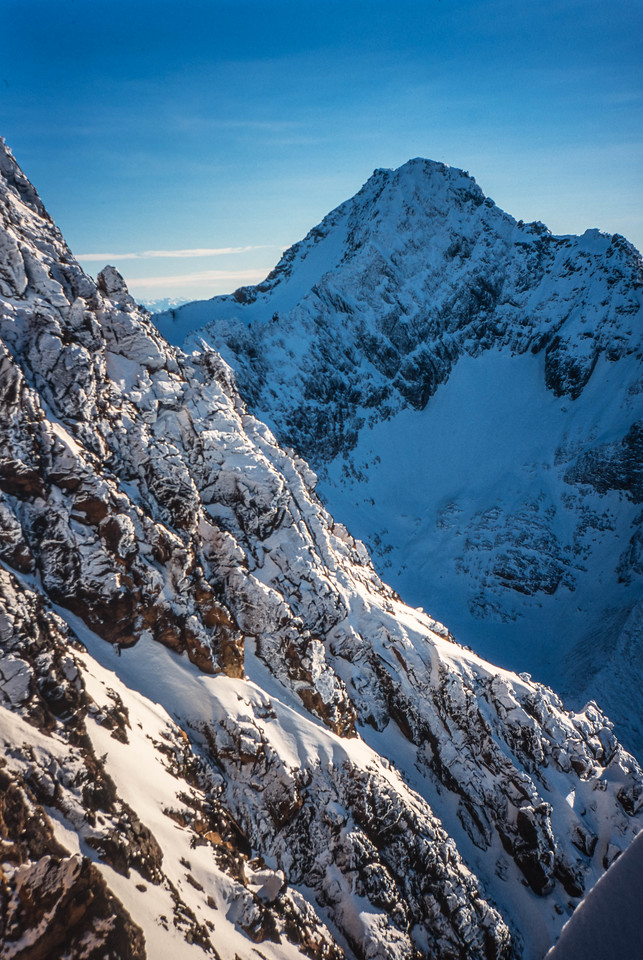
  17. Yeah @genepires, I was thinking the same thing. A guided area in the BC interior with heli access, most likely?
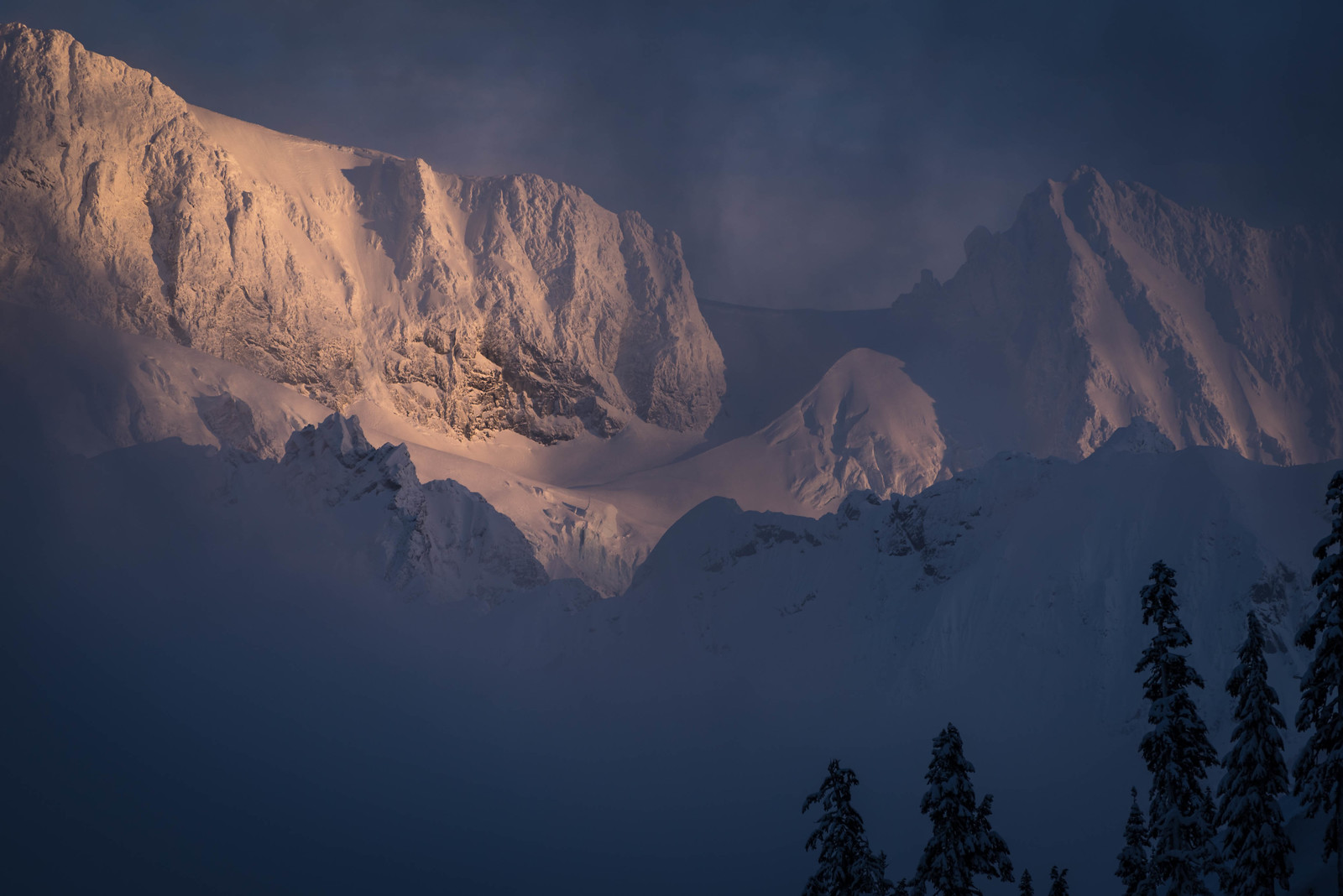
  18. I was thinking more Selkirks or one of BC interior ranges west of the Rockies, FWIW. That avy path/valley bottom in the lower right doesn't quite look like the cascades?
  19. Can we get a hint? I mean do you know if it is in the Cascades even?
  20. Trip: Cardinal, Emerald, Saska - Standards Trip Date: 06/27/2020 Trip Report: And this blast from the past brings us to June of 2020..... public lands are mostly open, with the exception of the National Parks. And @Trent and @ZakG decide it is finally time to branch out and go for the first overnight of our COVID season. Naturally, since it is June, the wet side lives up to its reputation and so we head east. Way east. It is a lot further over to the Entiat than I remember, but it does cut down on the masses. I think we only saw a handful of people all weekend, and plenty of space to stretch our legs and tick off a few more of the 100 highest. At this rate I might be done by the time I reach my full social security retirement age. But why rush? At this point I remember almost nothing about any of the routes we took, other than we didn't find any major obstacles. We generally looked at the map and followed our noses, ascending Cardinal the first day after setting up camp. The next day we went up Emerald, then stayed as high as we could over to Saska. We met a keen young man on the summit of Saska that was heading over to Pinnacle that same day. But we just took off our boots and enjoyed some time in the sun instead. It will have to wait for another trip. And, if we had been in a rush, we wouldn't have seen a golden eagle fly right under us along the North face of Saska (photo below). It was a good reminder that good things come to those who wait..... and to those that have their camera handy. Day 3 dawned cloudy with snow flurries, which rapidly intensified as we packed to leave with haste. Thankfully we were heading down and away from the worst of it and we didn't get too soaked or chilled. But it was another reminder that you often don't really know what is going to happen on these trips. Best be prepared! The hills are alive! Approaching camp (L) and ascending Cardinal (R) The three photos above are all on Cardinal Heading up Emerald with Saska behind (L), On Emerald near the summit (R) Looking back at Emerald from traverse to Saska On Saska with Cardinal above @Trent Summit views on Saska Golden Eagle on Saska. I emailed USFS wildlife biologists who work in this area and they say it is the first confirmed sighting in this part of the Cascades. Signing in to Saska. Please leave the registers up there, they are a great connection to our friends, some of whom are not with us any longer (RIP TJ). Heading down Saska Gear Notes: ice axe, crampon, helmet, fire. Approach Notes: North Fork Entiat Trail
  21. You should just be able to attach them to your original TR (can drag or choose files in the edit box when you open post to tweak it), then click on them to place them where you want in the post (you'll see upload status after you choose the files, once they're uploaded you can click on them to drop into the post). Or.....I should be able to edit using the files you linked above. But, I'll first see if you can get if figured out for future TRs..... BECAUSE WE LOVE THEM AND WANT MORE! edit: hmmmmmm, I wonder if something weird is going on with those files due to the extension on them? I can ask @jon and @olyclimber to weigh in.
×
×
  • Create New...