JasonG
-
Posts
5261 -
Joined
-
Days Won
343
Everything posted by JasonG
-
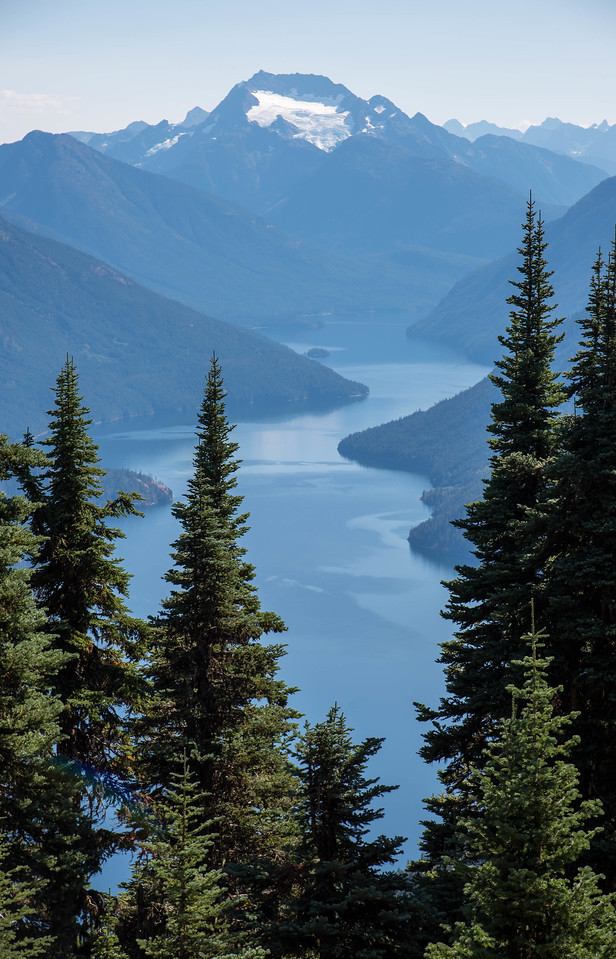
I believe that is for @SeanO, @Phil K, but my photo is from a lesser known vantage on the other side of the valley....worth a visit!
-
Has anyone been to the area where this is taken from? Hint, the trail is in Canada, but you come into the US for the best views.
-
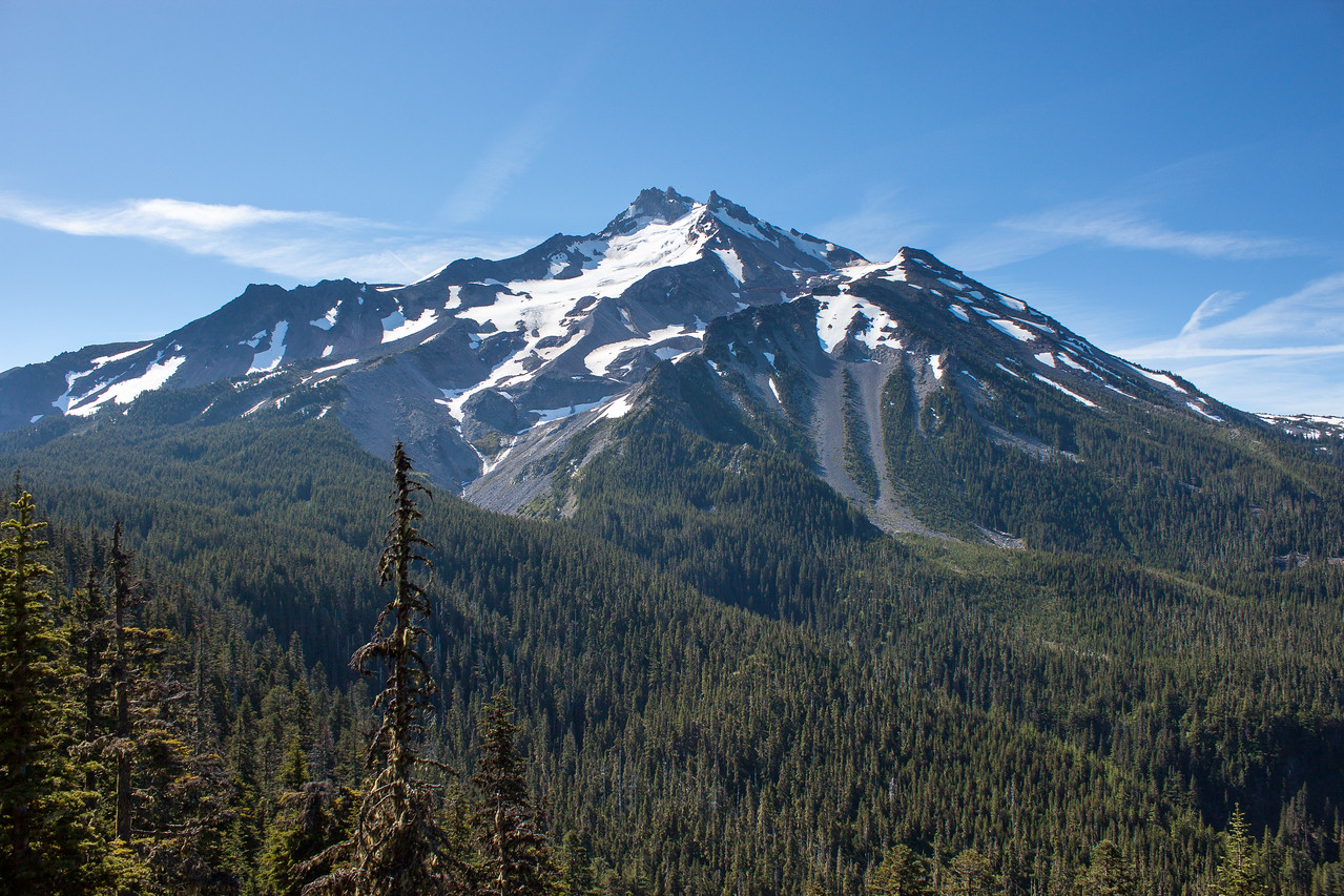
Mount Jefferson and Jefferson Park, pre-fire. Anybody seen it since?
-
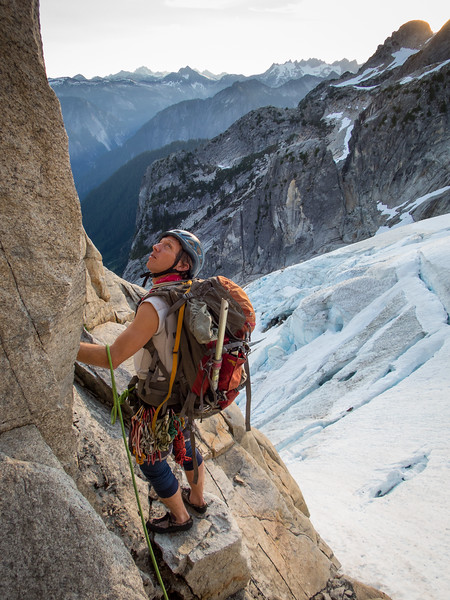
You probably know the feeling.... @therunningdog starting up into the uncertainty on the north ridge of Blum:
-
This is so great @dberdinka and so unexpected! I can see it!! I hear you about the wonder of those first trips. For me, I still get a little bit of that old excitement going to new places with good friends. But I know what you mean, we aren't young any more..... Remind me to tell you the story about getting our permit for this trip. It is one of the most entertaining exchanges I've ever had with the NPS......
-
Sage advice, only truer by the year.
-
Sticking with the Tahoma theme.....there is more to MRNP than "The Mountain".... the Chossdawgs approaching Sluiskin.
-
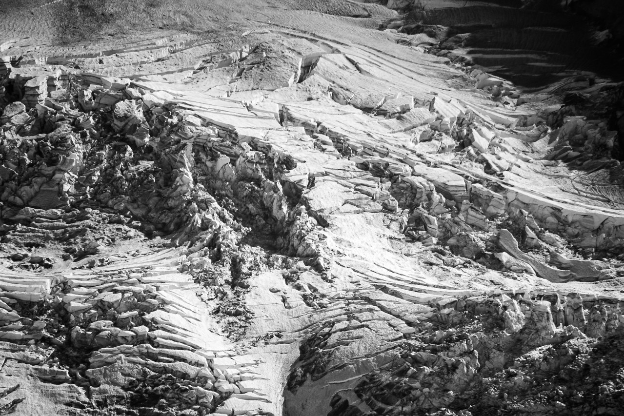
Carbon glacier detail on Tahoma:
-
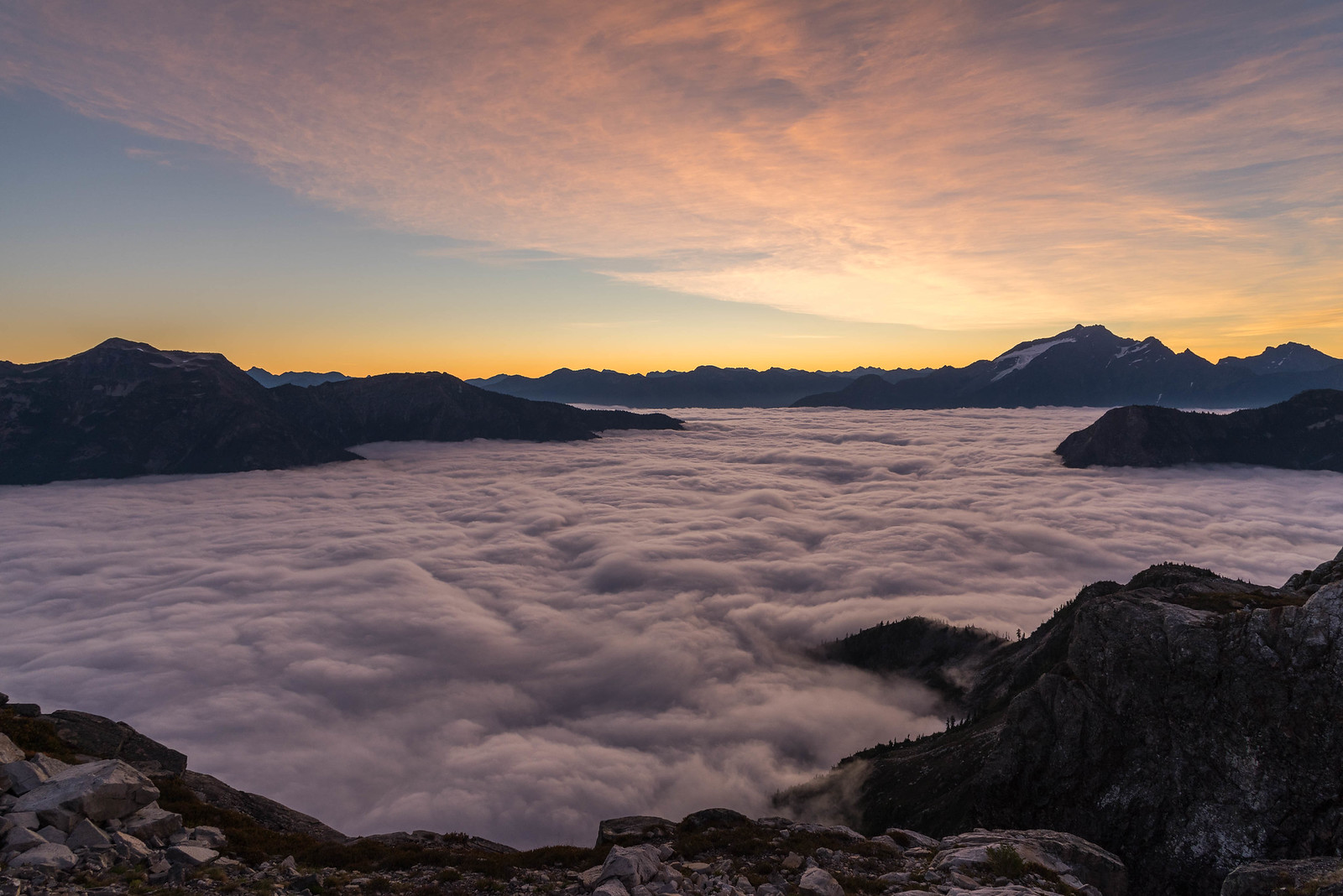
I love waking up above the marine layer in the summertime....
-
WHY PLAY THE LOTTERY WHEN YOU CAN GAMBLE FOR REAL IN THE NORTH CASCADES??!!
-
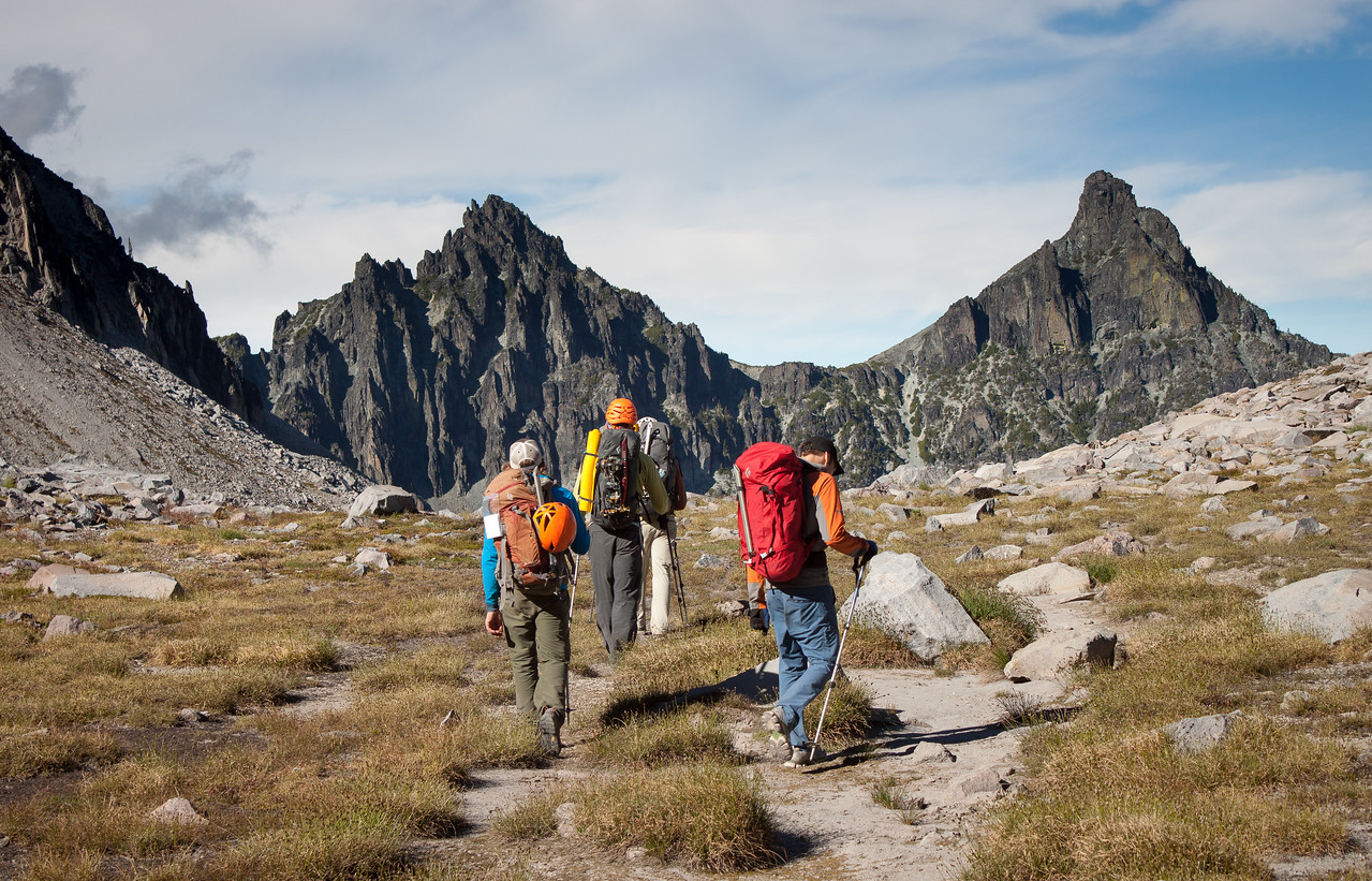
Yep! Here is the TR
-
Yes, yes indeed @Phil K. And, to that end, sunrise from West McMillan!
-
DIE FACEBOOK, DIE!
-
Thanks guys for keeping it alive! And wow @lunger.... North Despair? One of the best vantages in an incredibly scenic neighborhood.
-
 Reach out to @hanman.... he still lives up there I think?
 -
Thanks @olyclimber ! I have ditched all anti-social media so this is it for me. Till death due us part. I've been here since the first few weeks and I will remain until the end (hopefully my demise and not the site's). I'll reach out to @jon And give him a nudge.... thanks again for all you guys do!
-
I'd scan and bring them into Lightroom for tweaks. It's great software that should be able to polish any image that's somewhat close to the correct exposure. It is a subscription though so you might want to look at other photo editing software competitors.
-
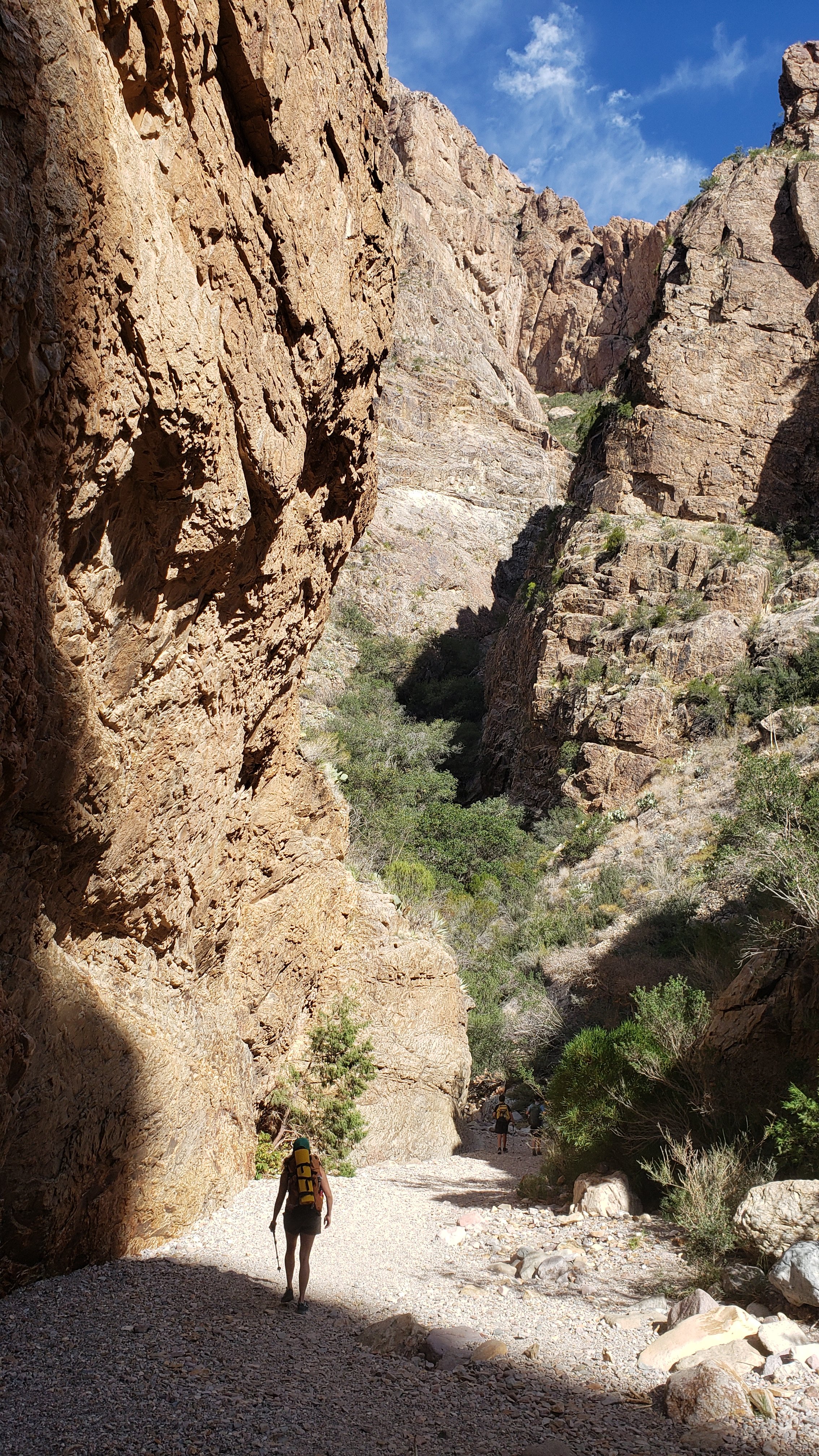
Sorry folks, I'm down in Big Bend for the holidays. Regularly scheduled programming will resume soon!
-
Perhaps you've sampled the "splitter" stone of Custer? If not, here's a teaser:
-
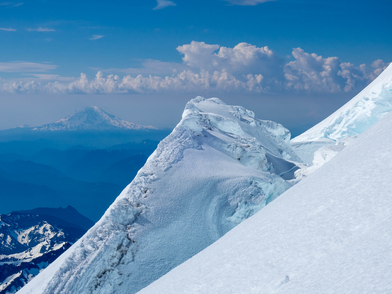
And back to Tahoma. The view as @Trent and I came down the DC from a climb of Success Cleaver:
-
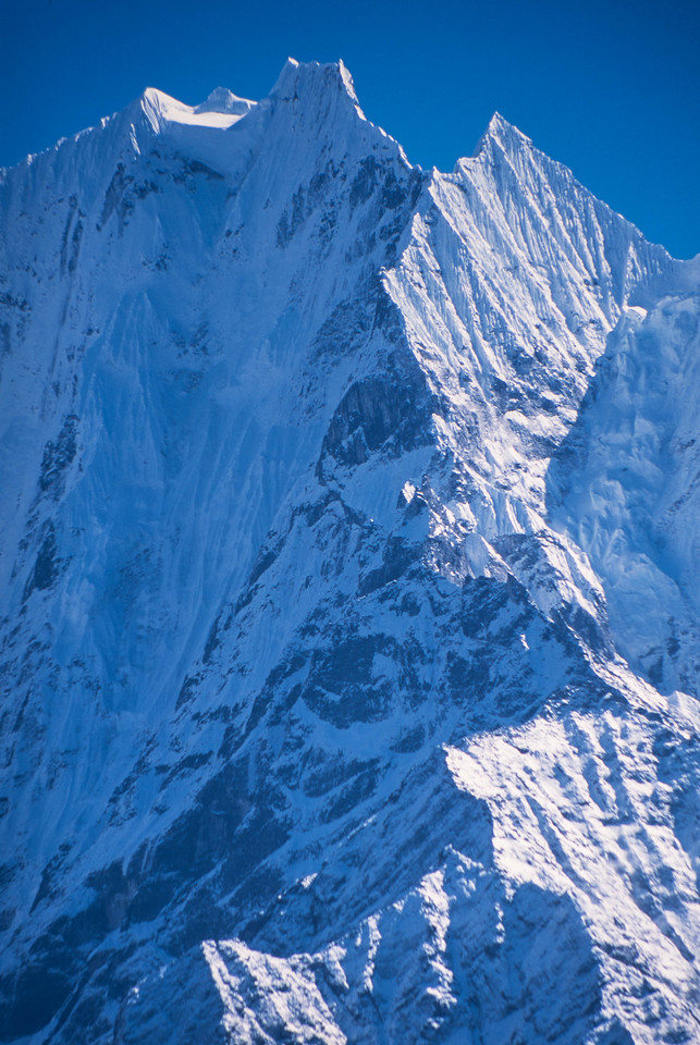
I'm going to keep the travel theme going today....Thamserku in the Khumbu:
-
Aoraki is a worthy mountain to throw yourself at. It will take a bit from you, however:
-
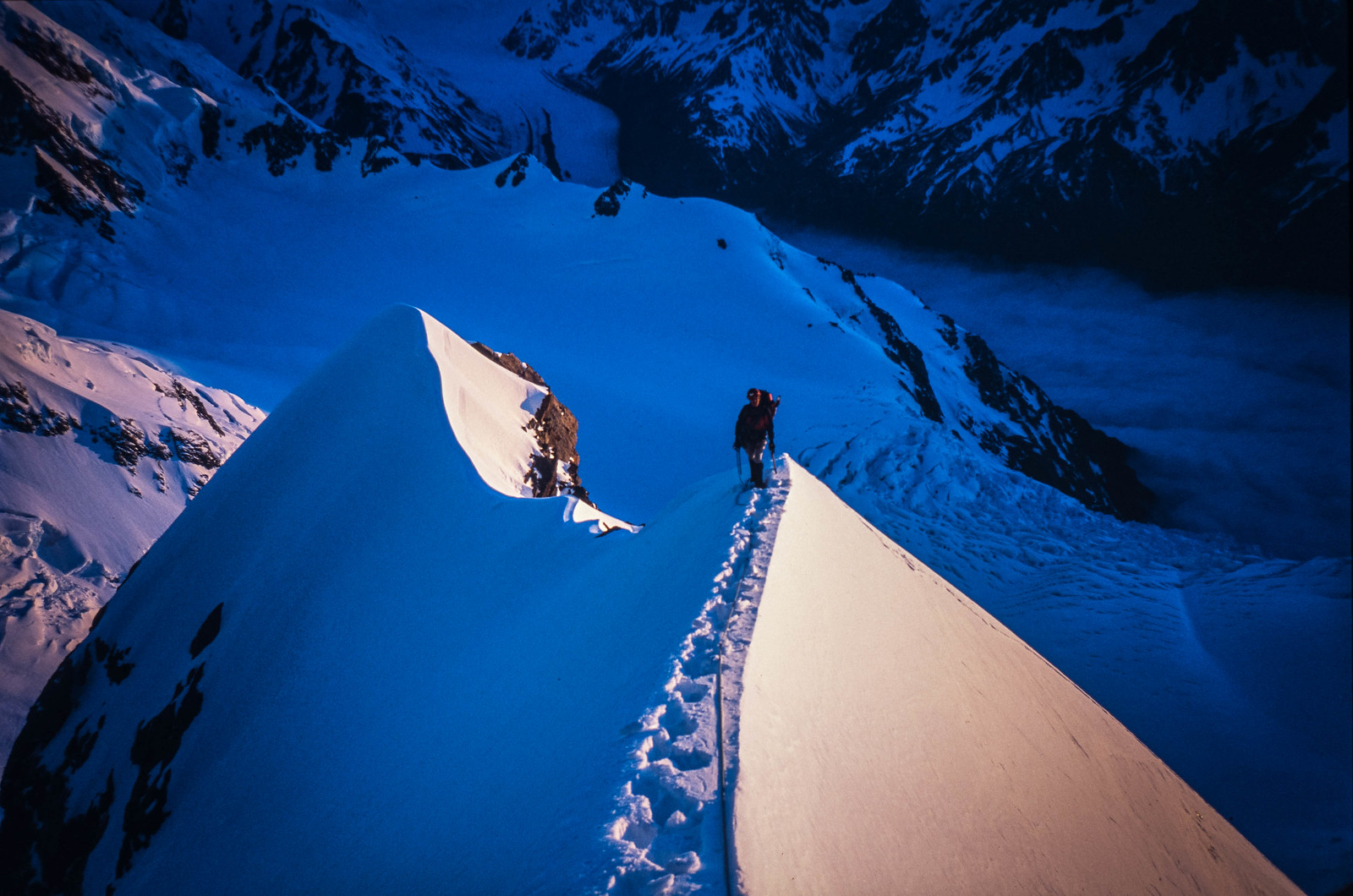
Everybody needs to get married and travel to New Zealand! My wife on Zurbriggen's Ridge in December of 2002. We were pretty sure we were going to survive at this point, but there were some tense moments (and tears) on the ice face below. I distinctly remember looking down between my frontpoints, the rope connecting us with nothing in between, and yelling "YOU MUST NOT FALL!!" .....Till death do us part:
-
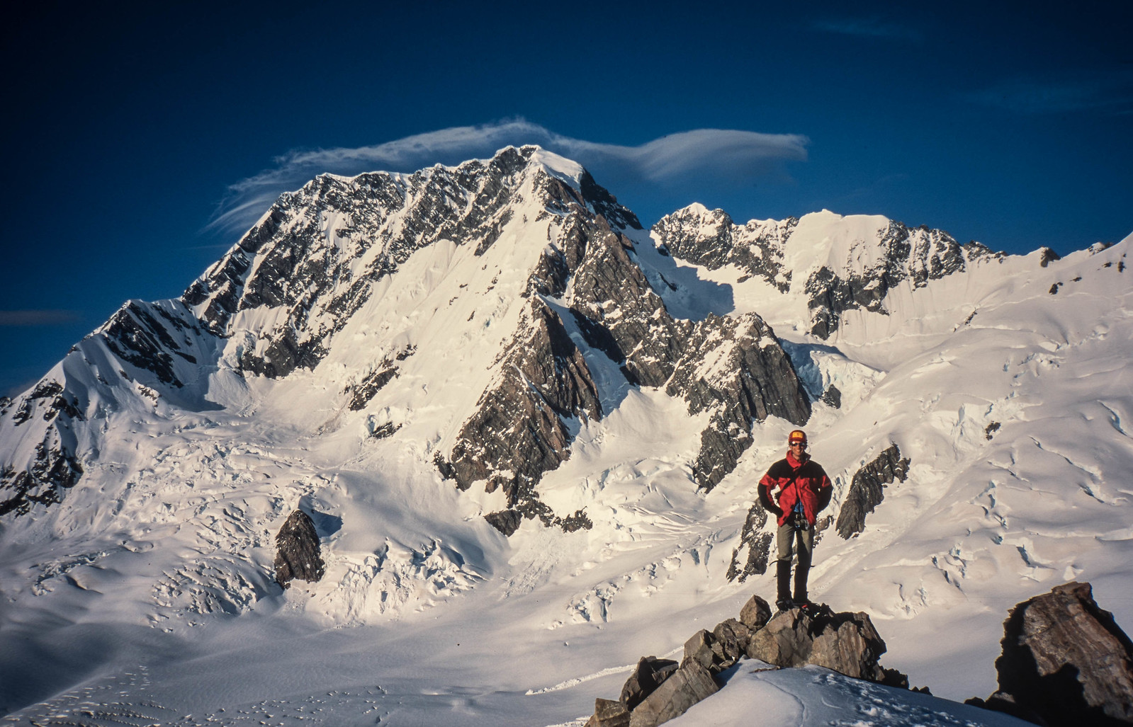
OK @olyclimber, here you go! Mount Tasman from high on Aoraki.....from the honeymoon that nearly killed both of us as our marriage began!
-
Yes! You've skied that @lunger?!!