
Leaderboard


Popular Content
Showing content with the highest reputation on 07/09/25 in all areas
-
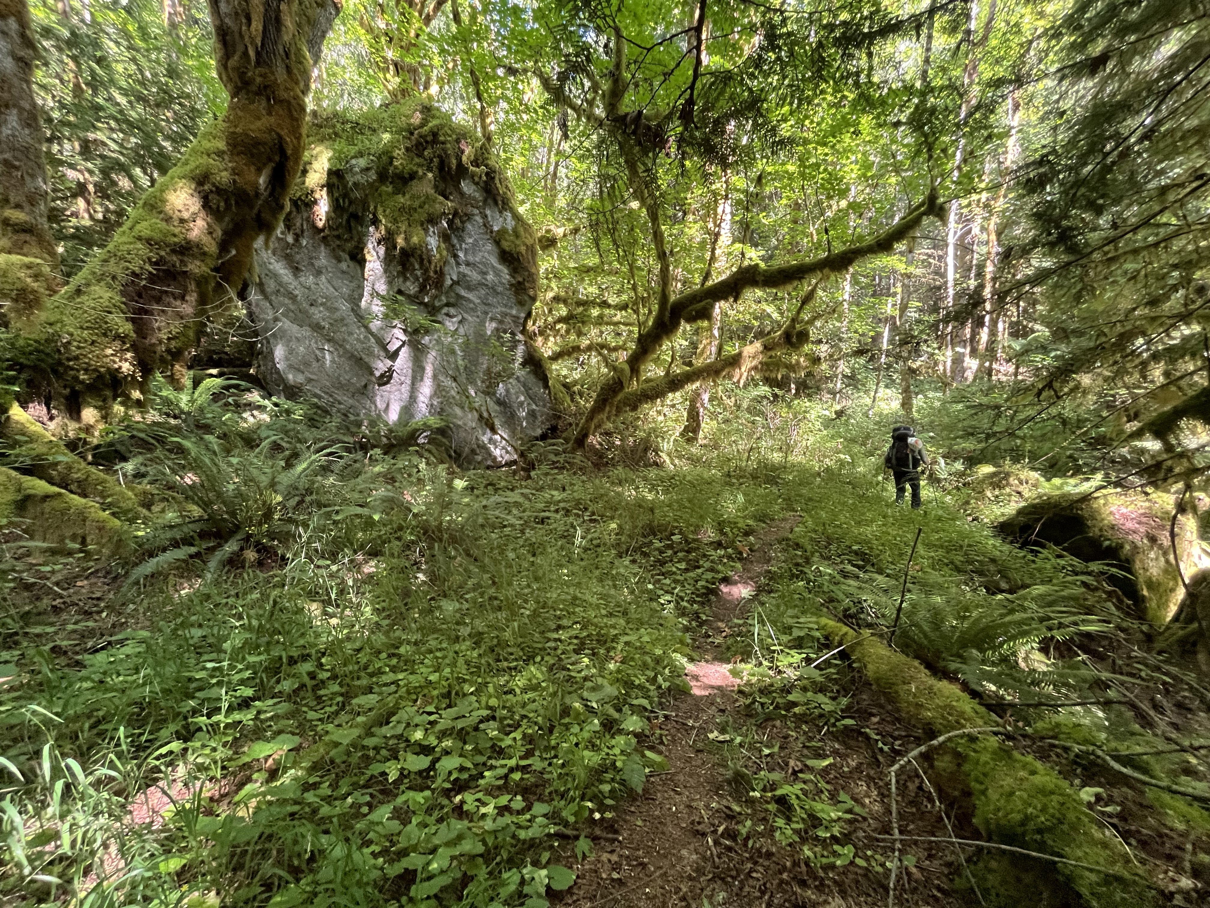
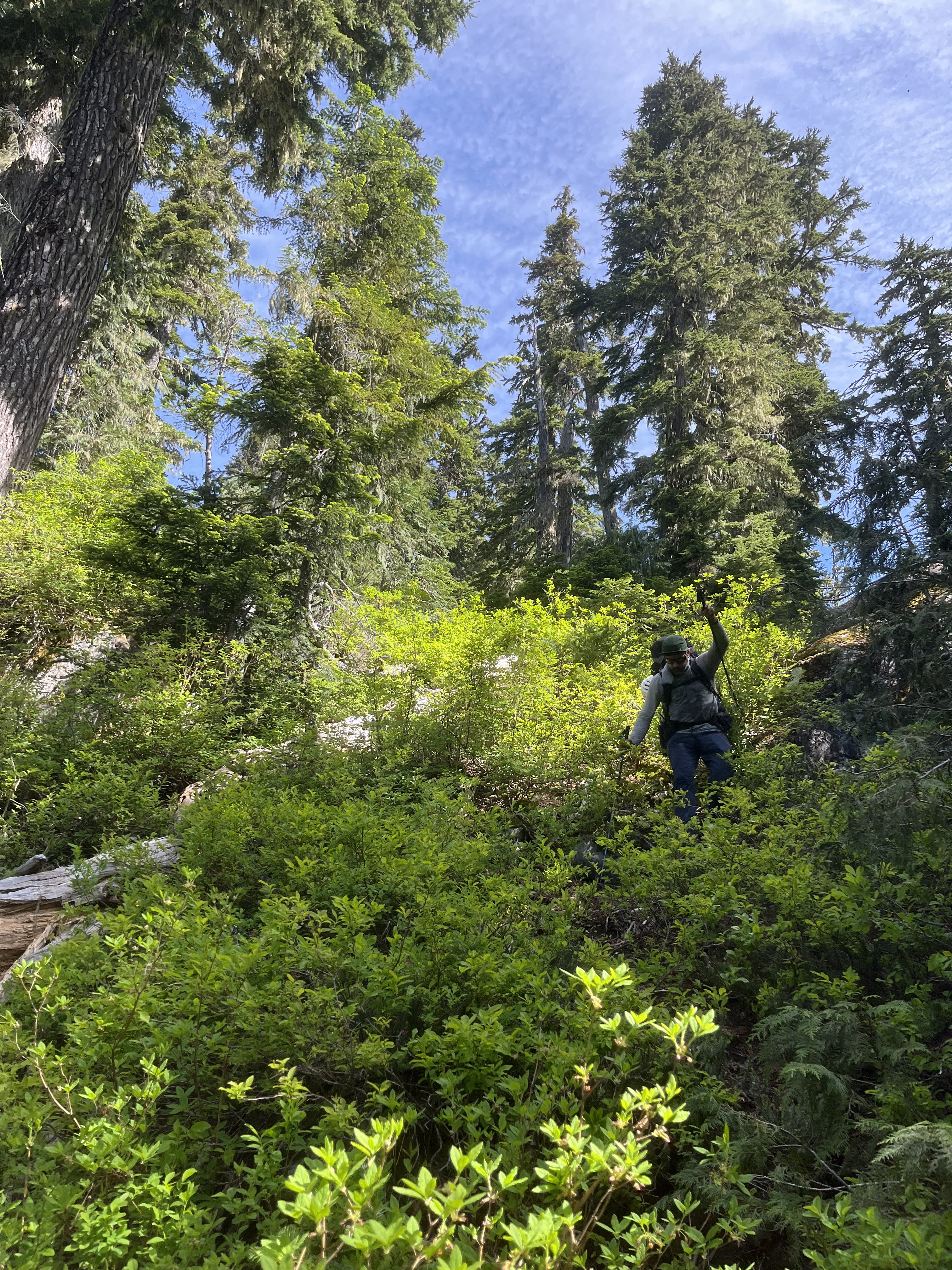
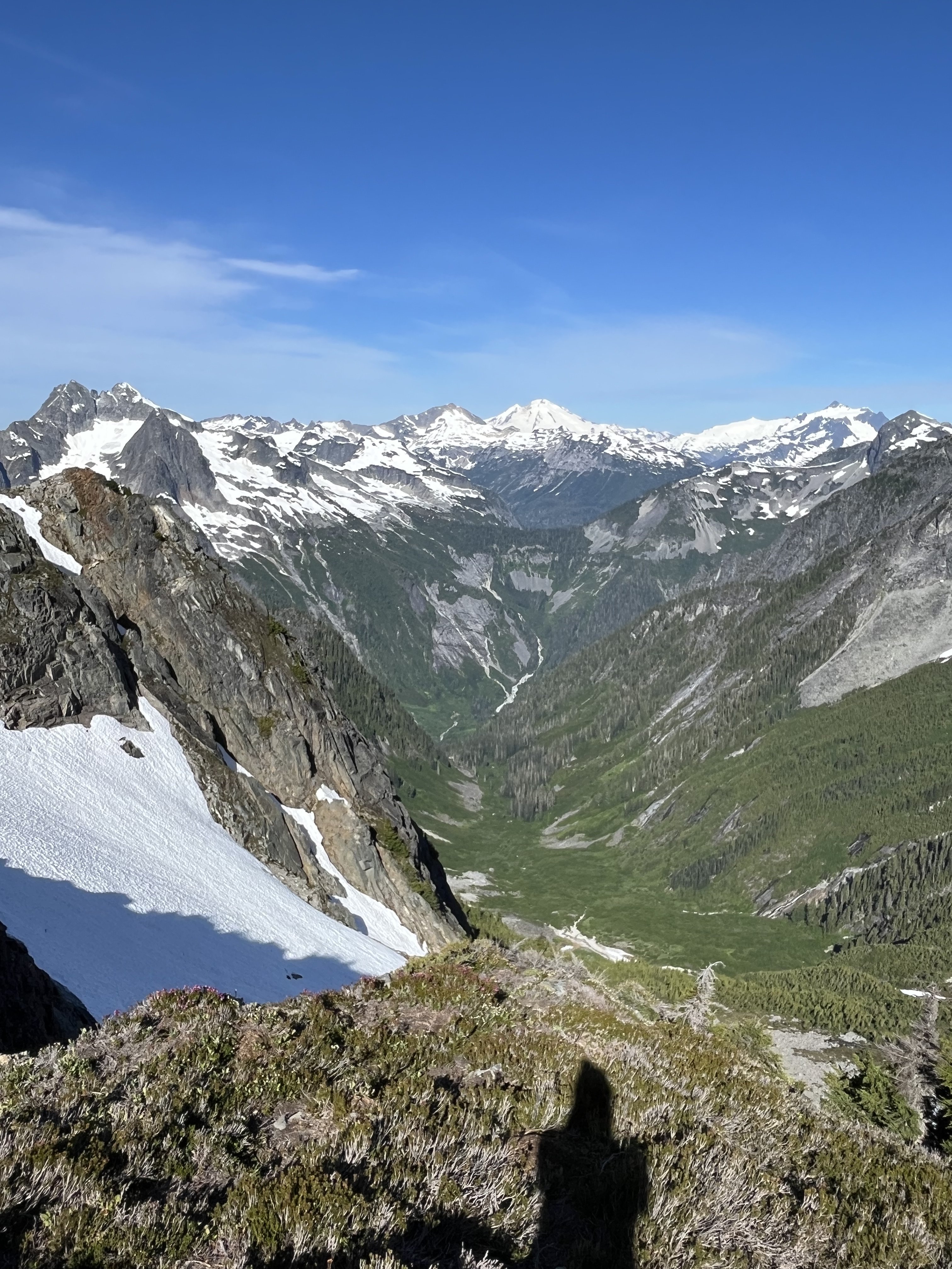
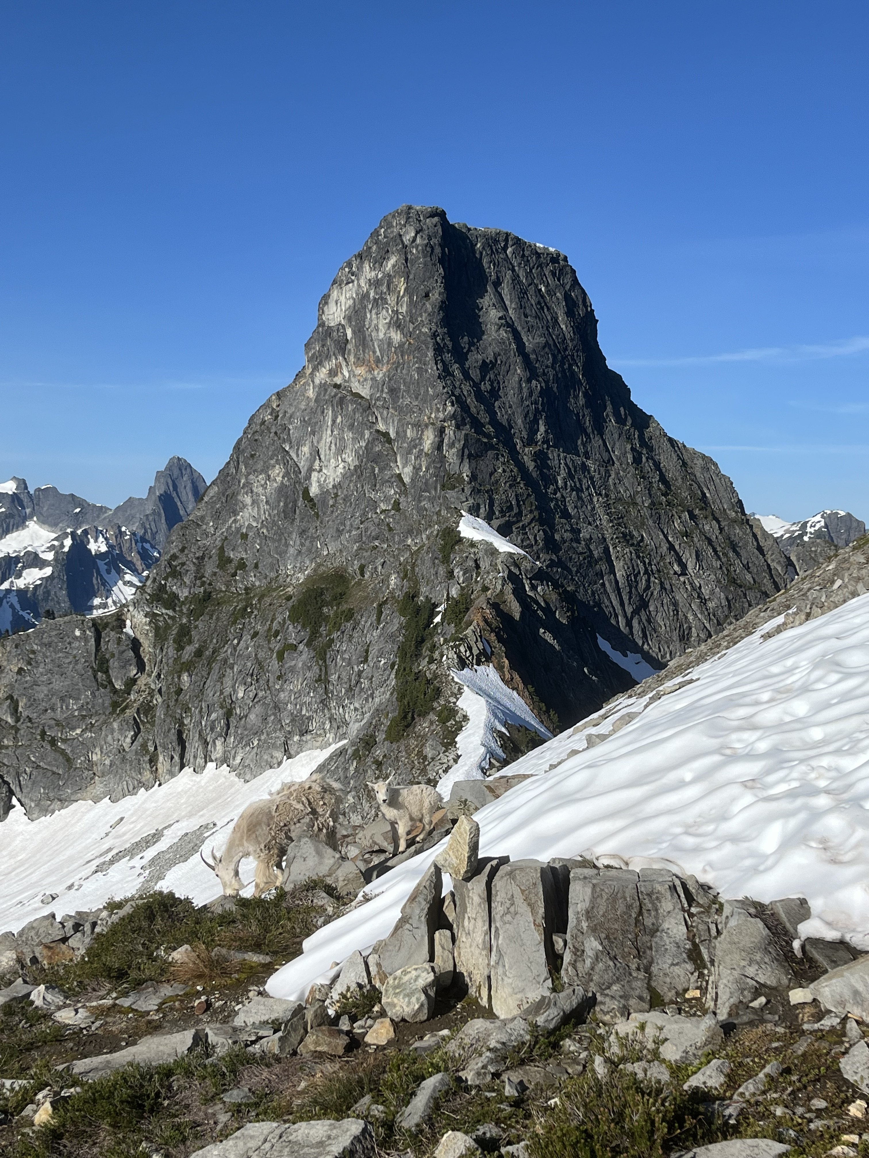
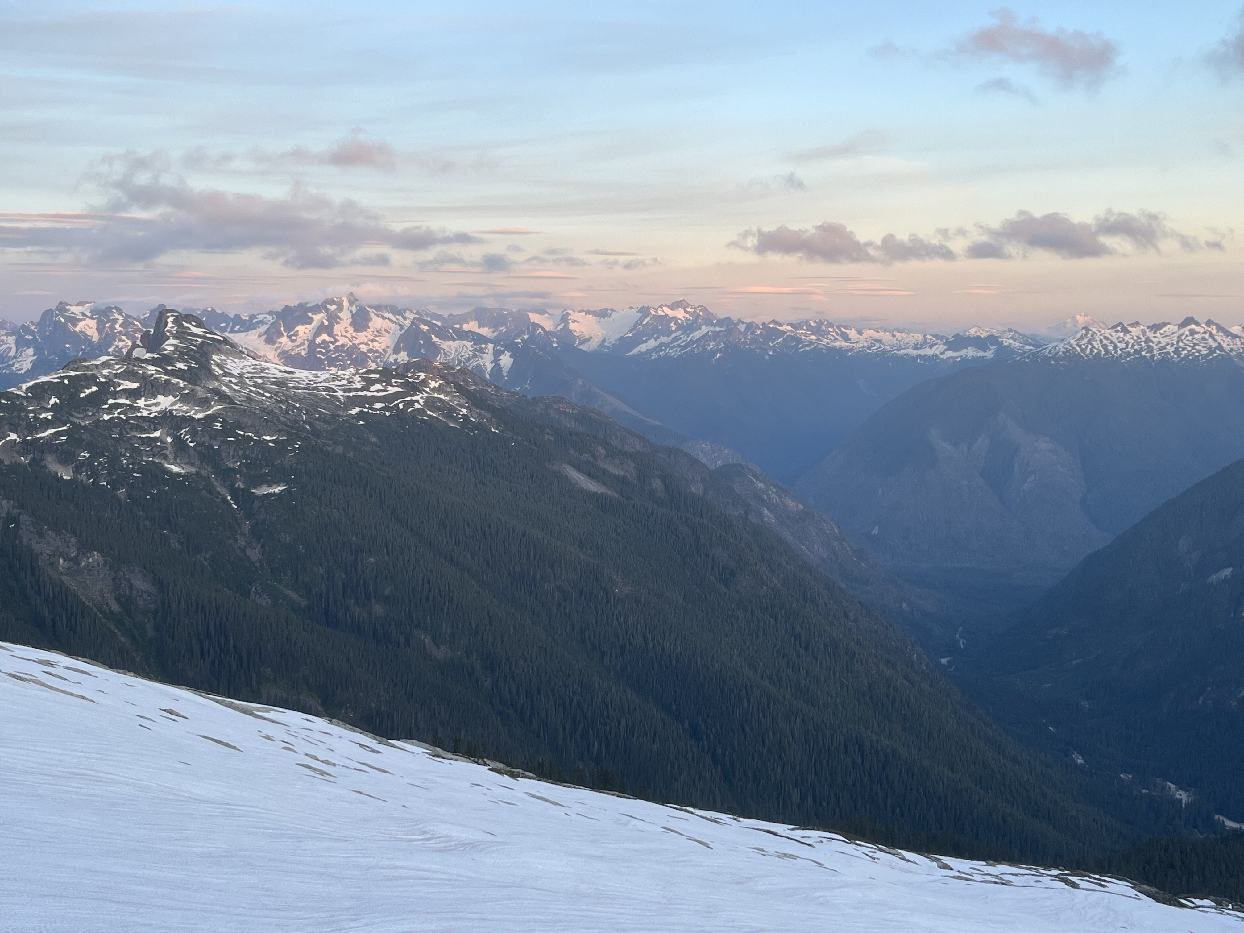
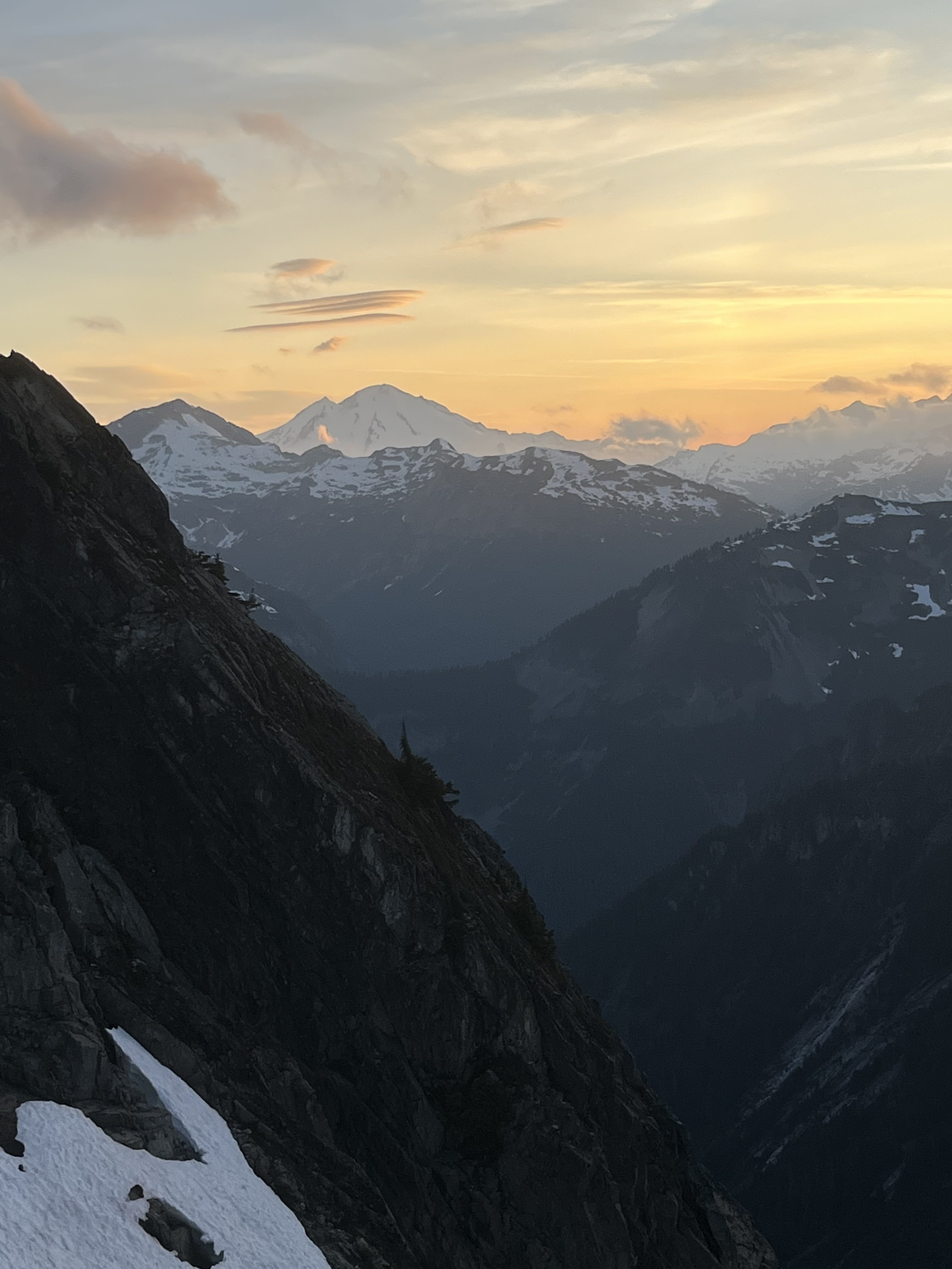
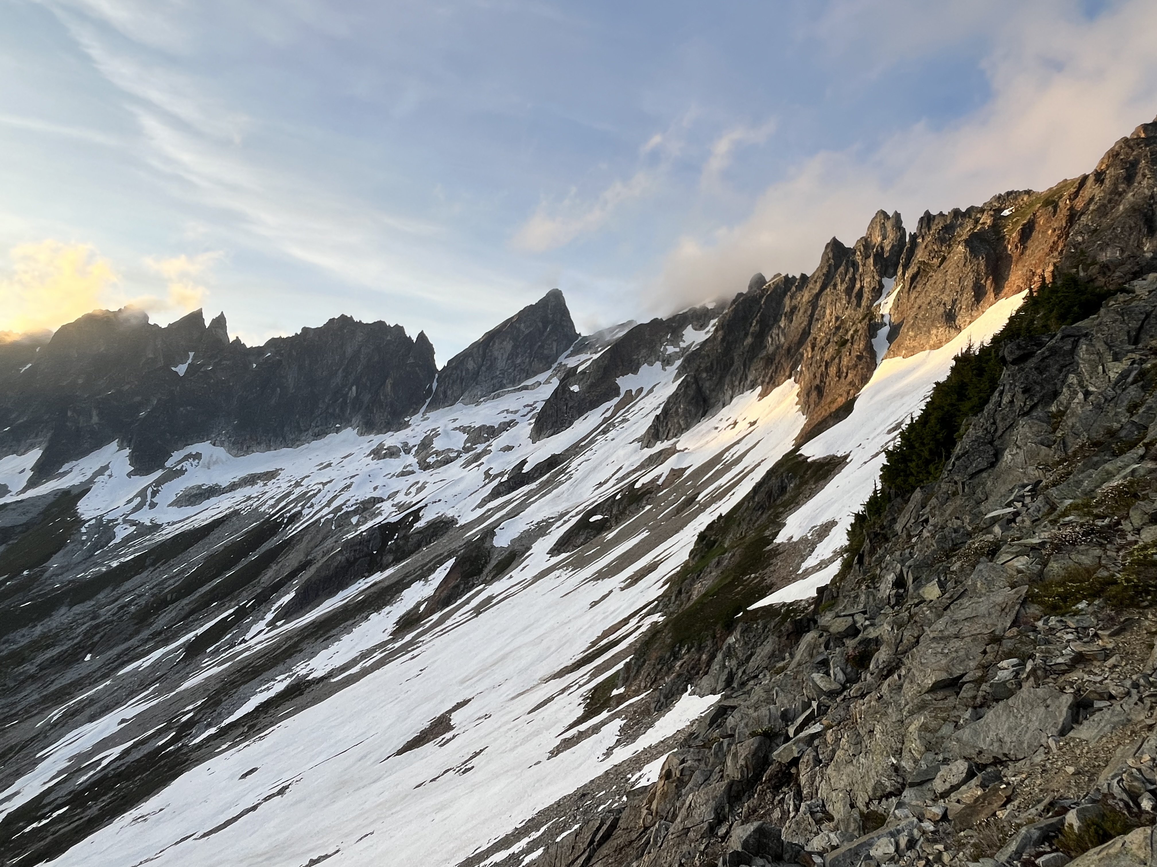
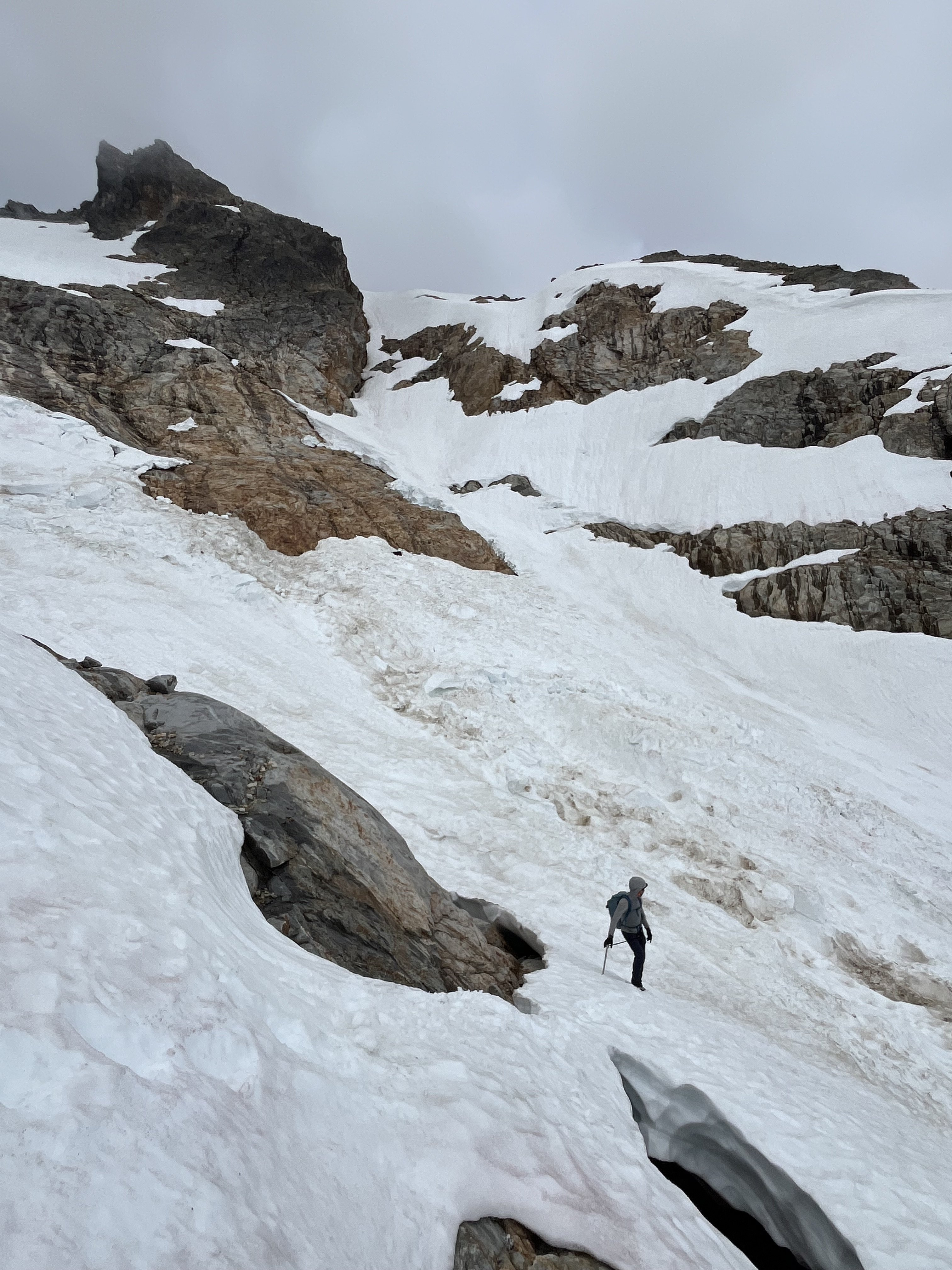
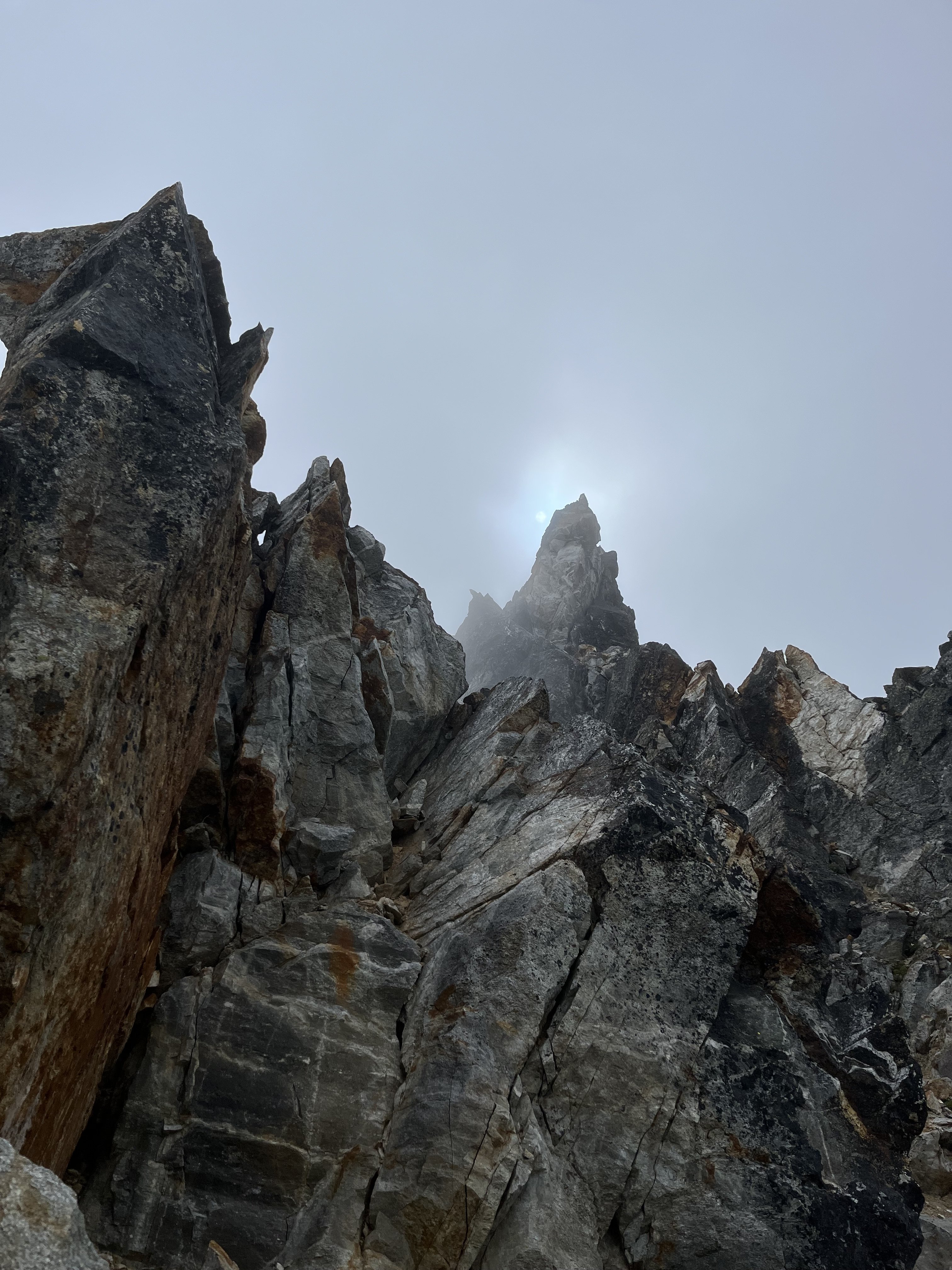
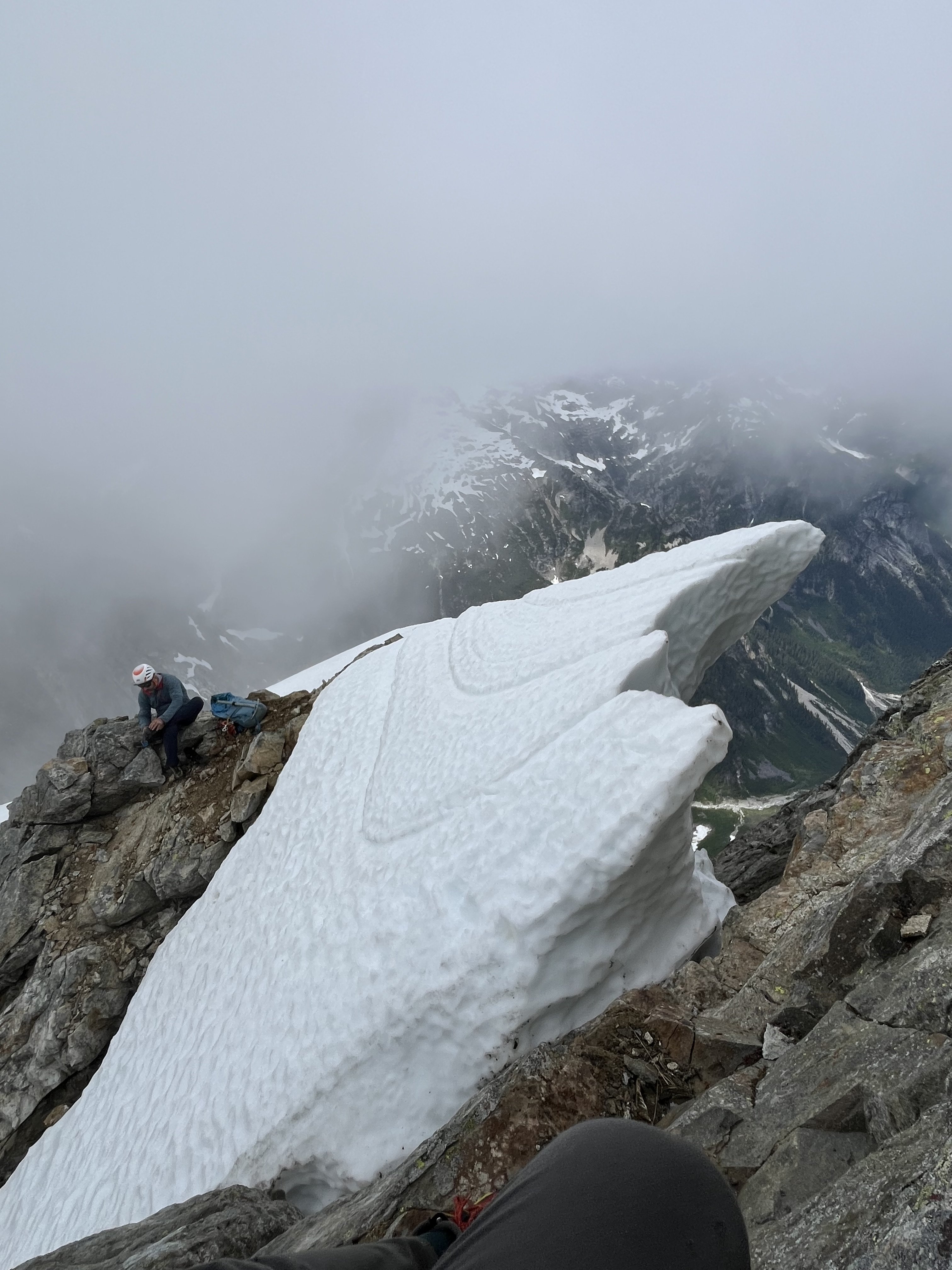
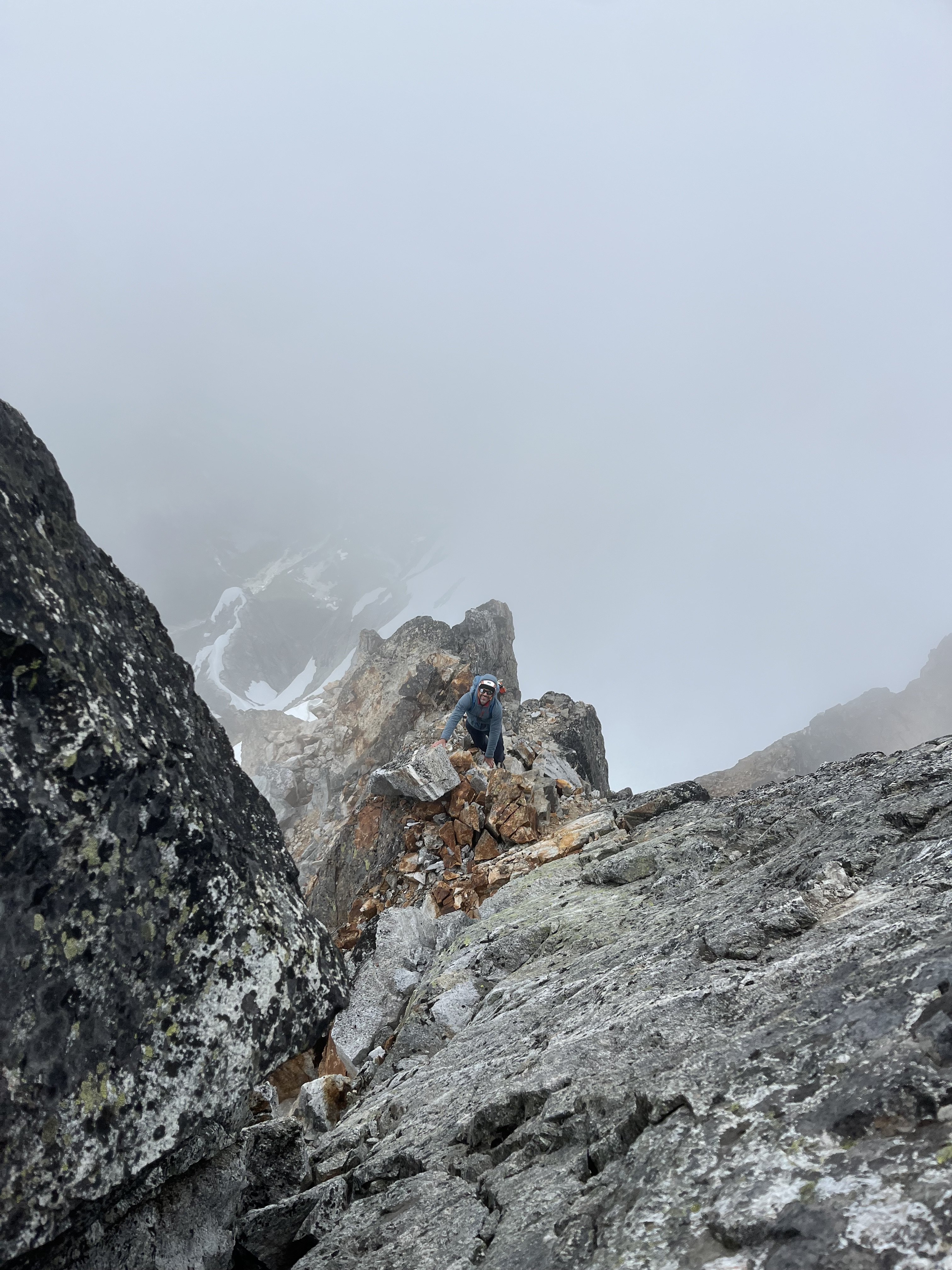
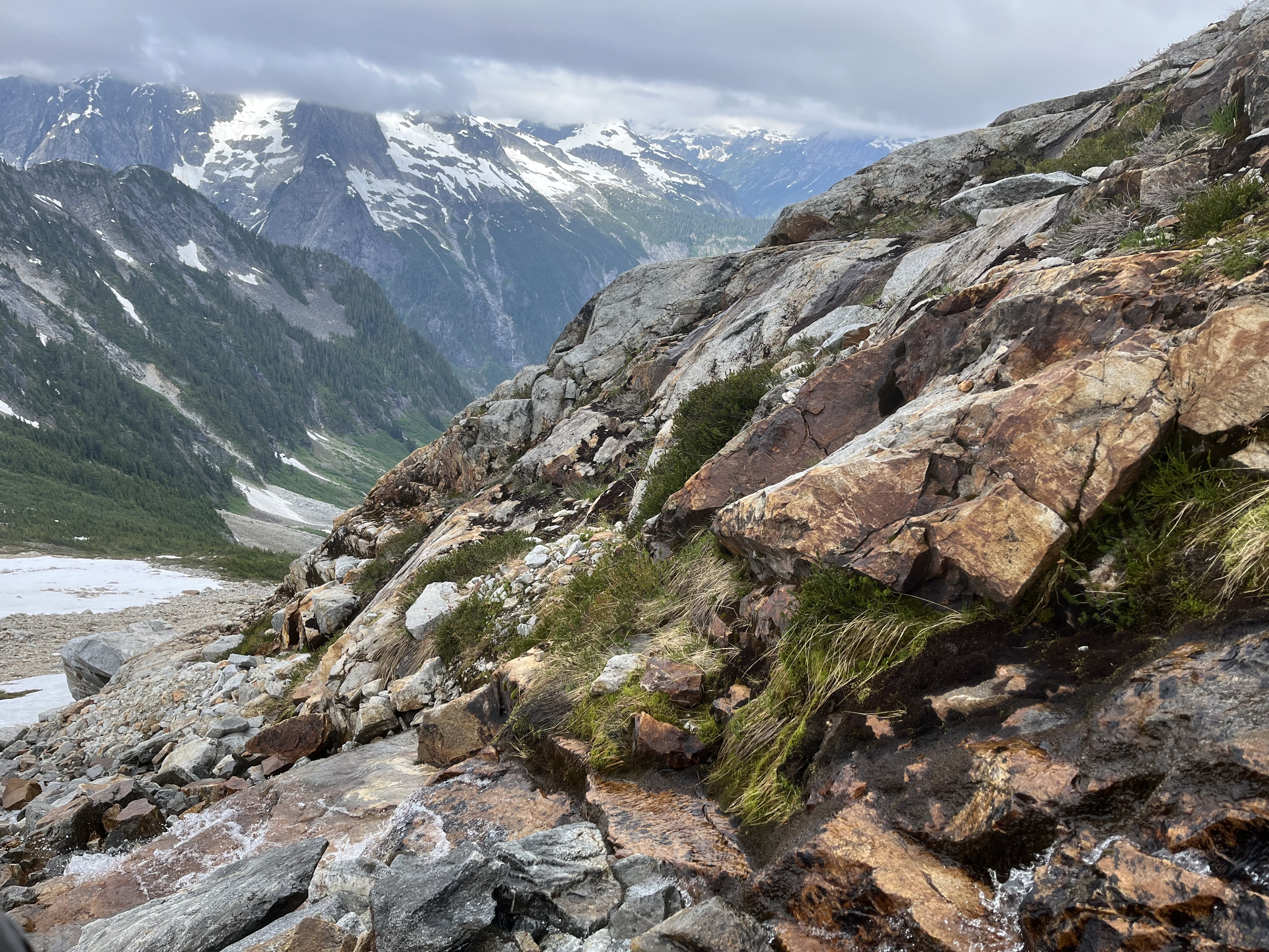
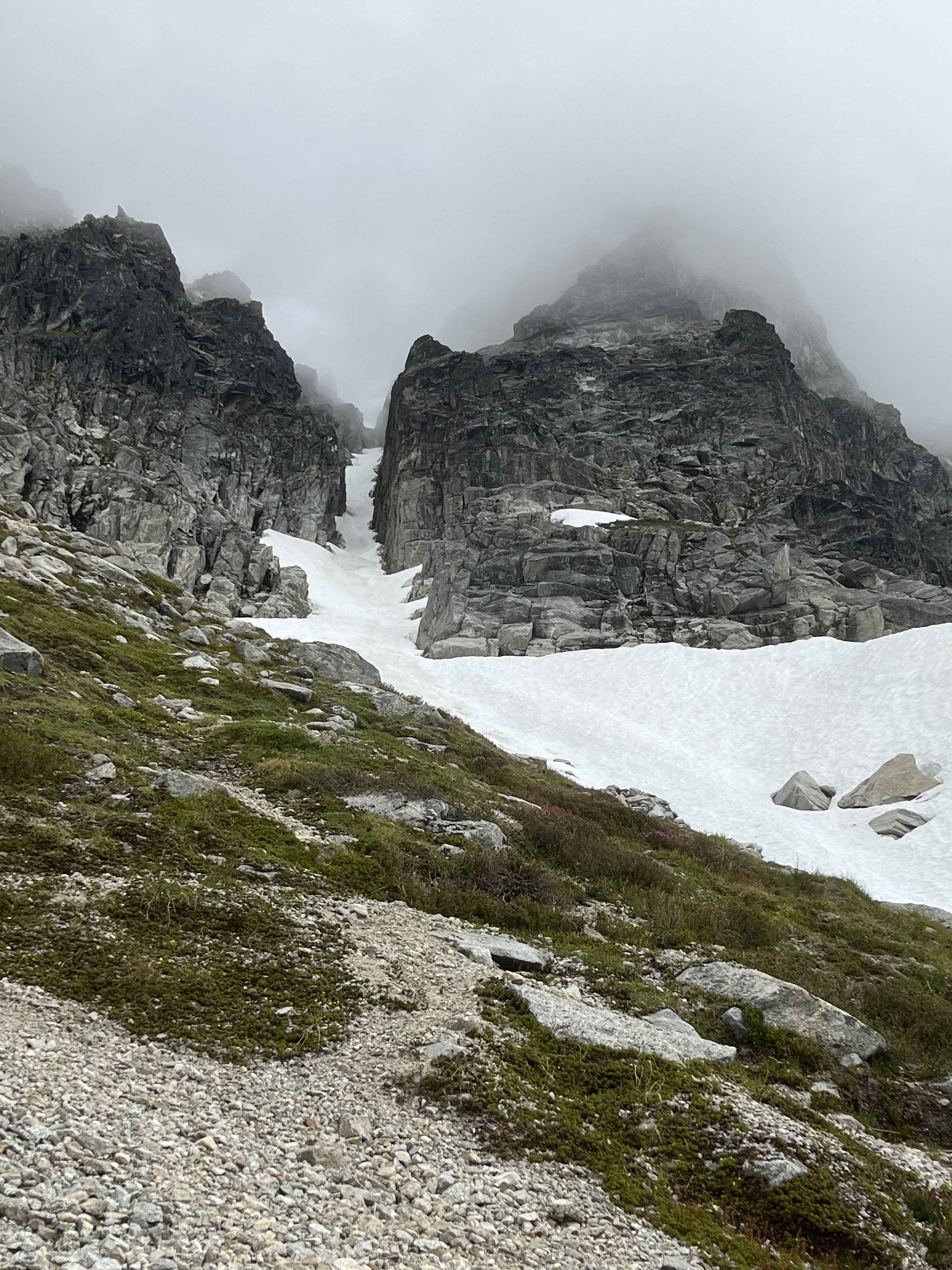
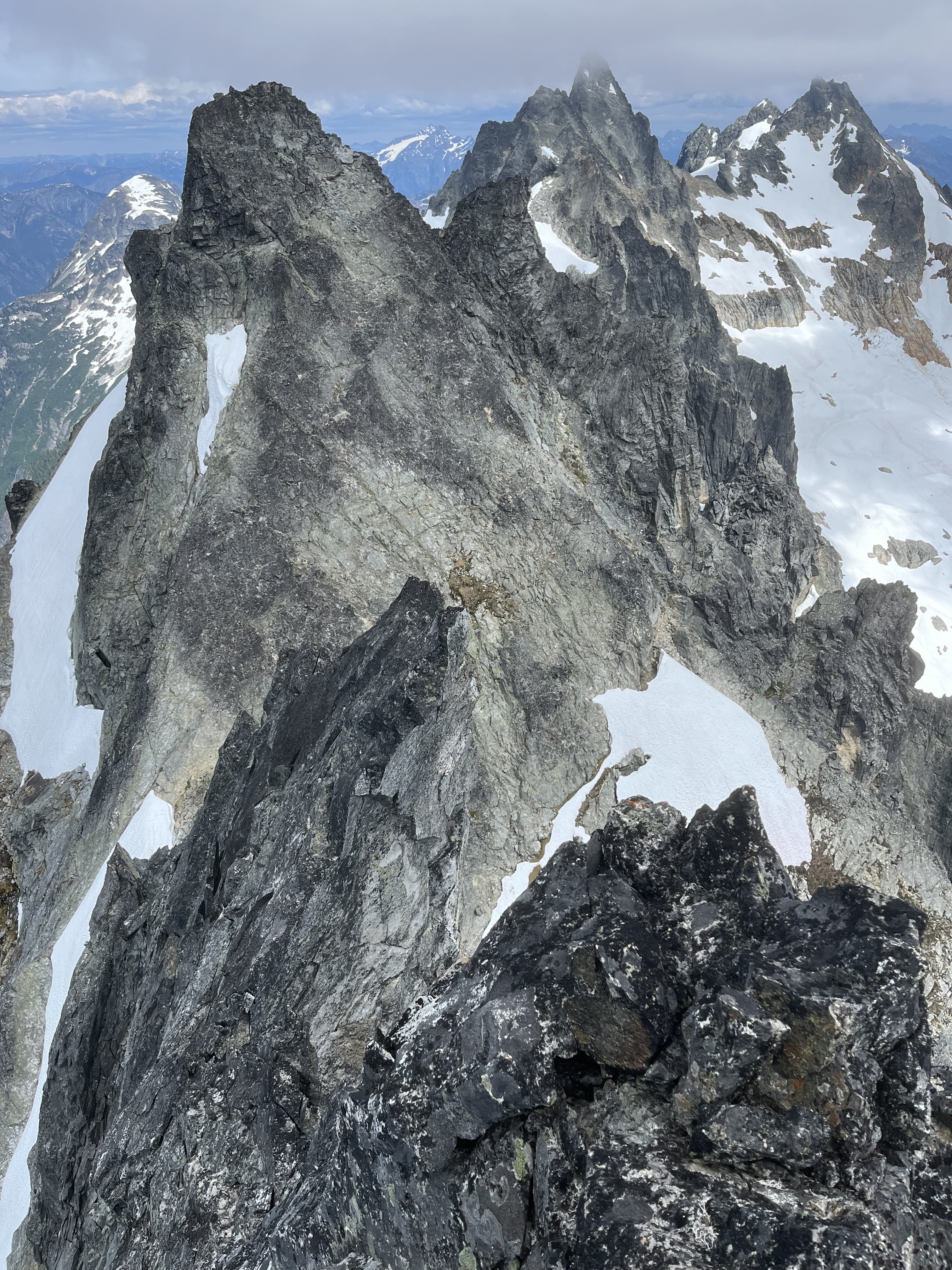
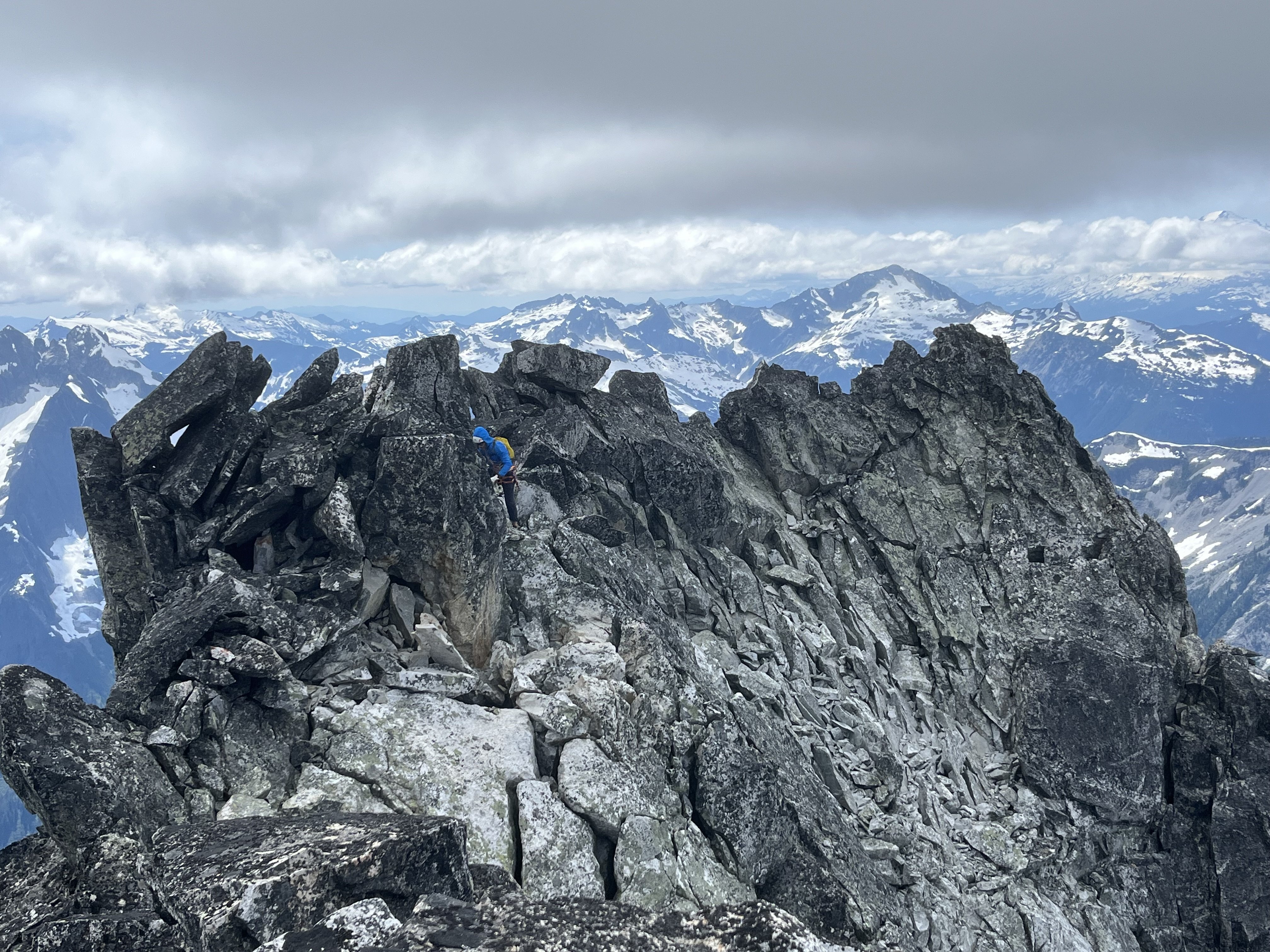
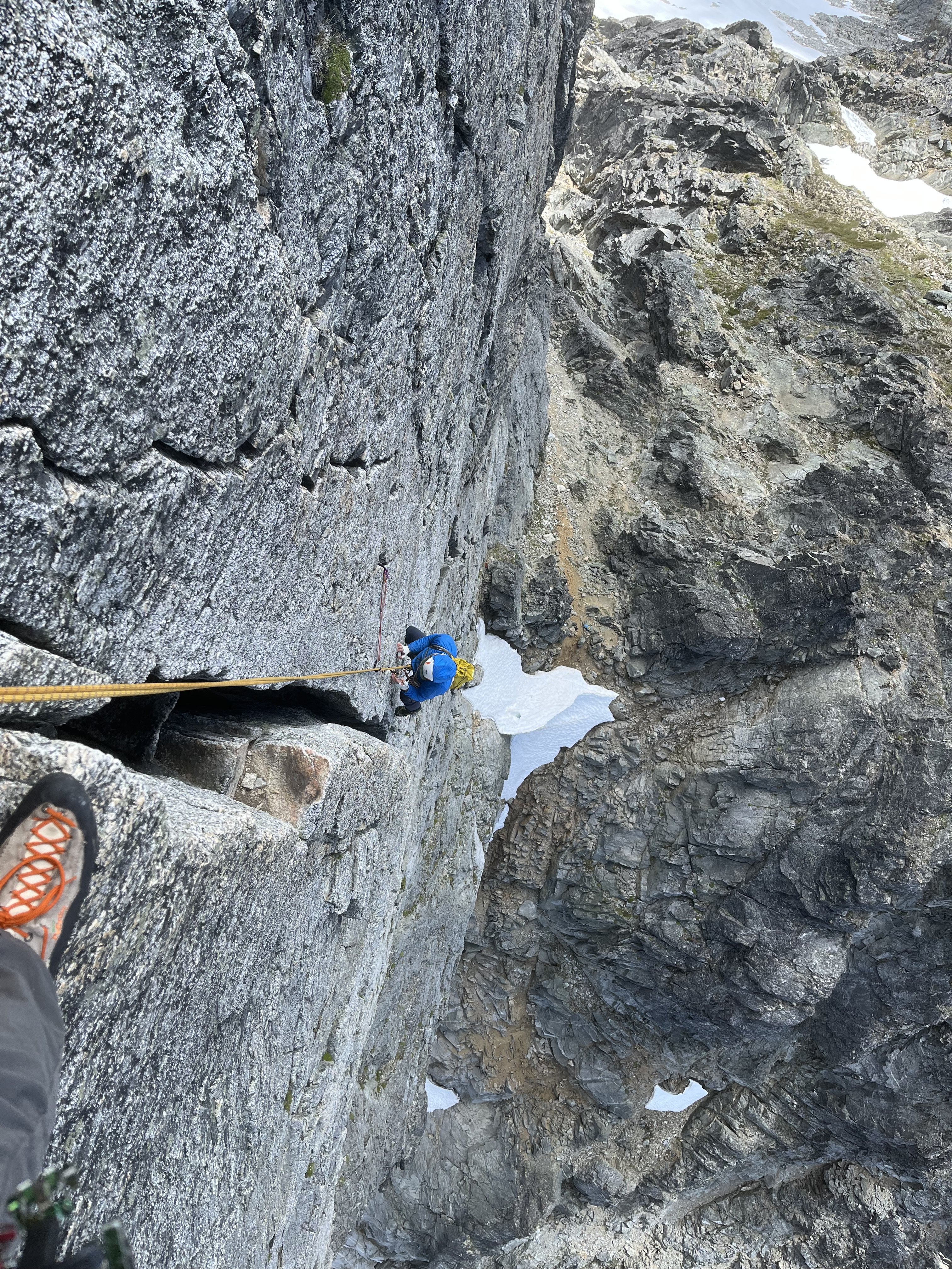
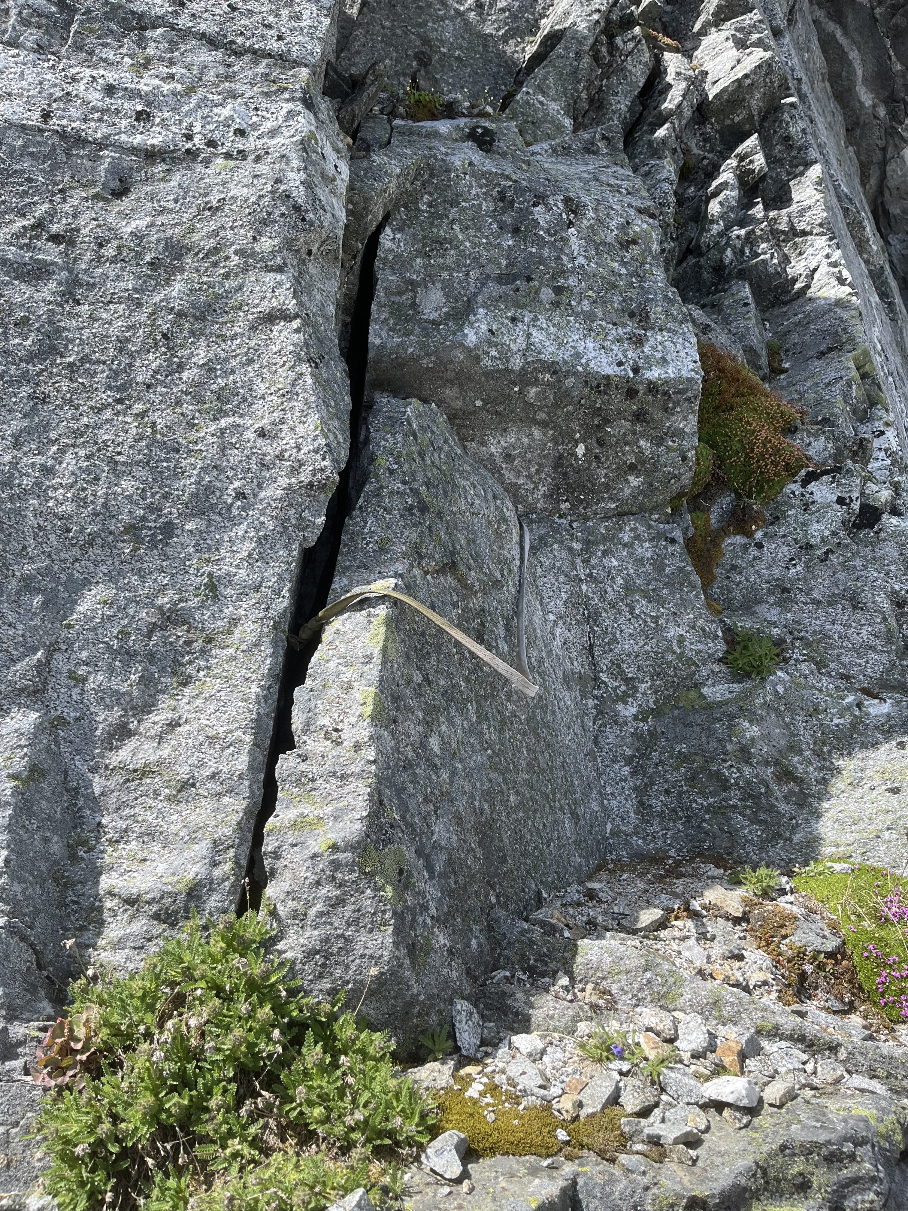
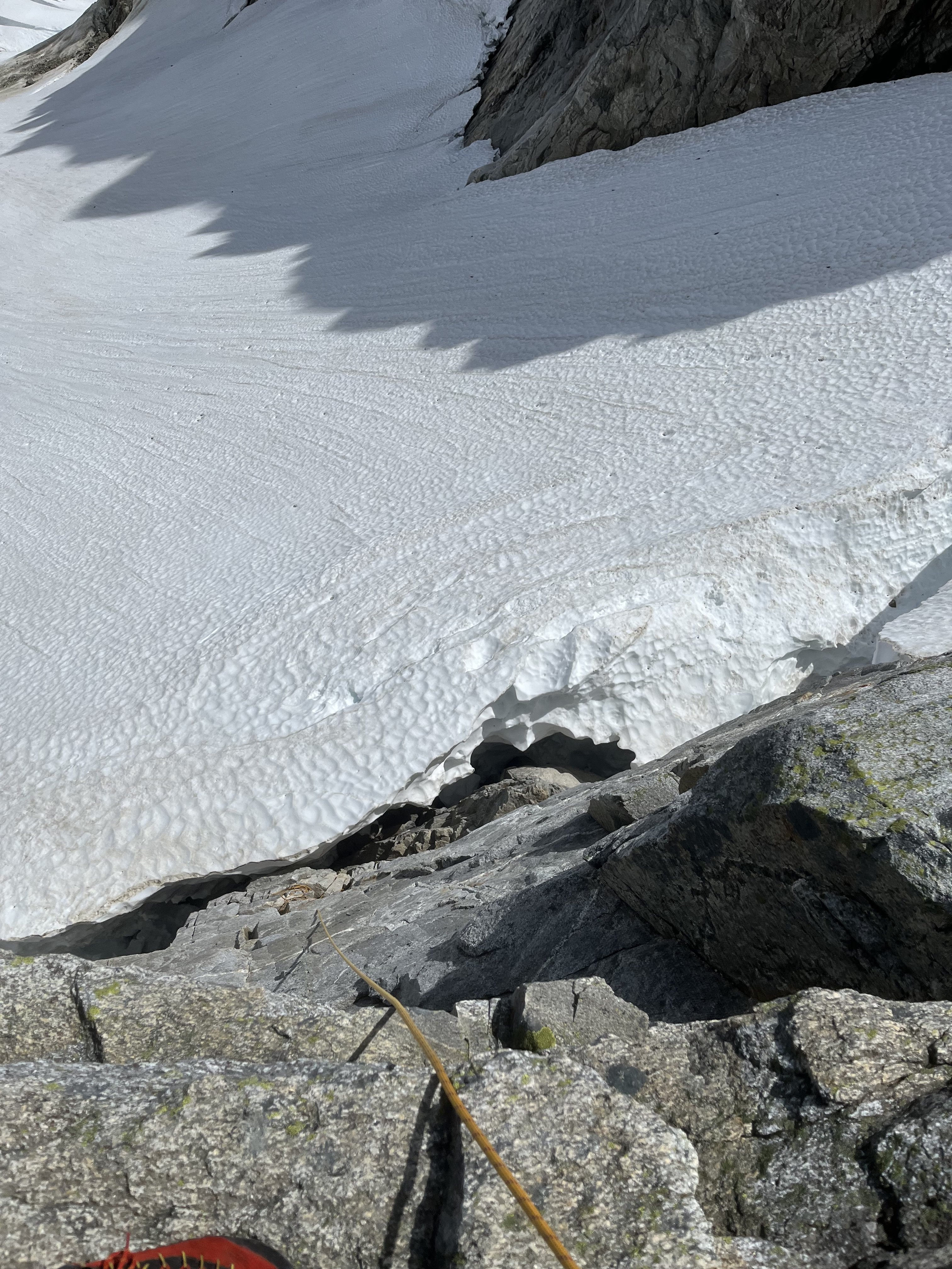
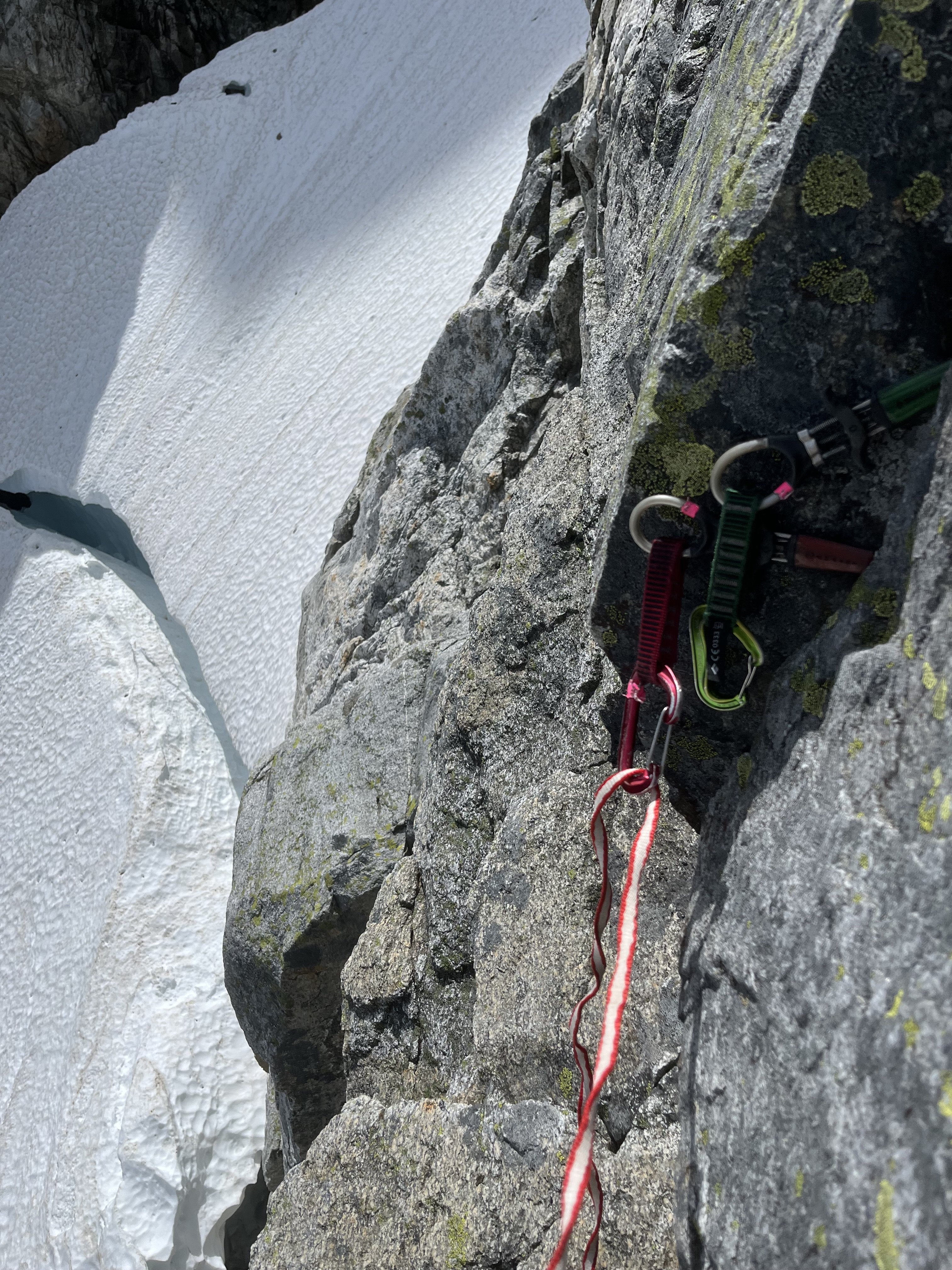
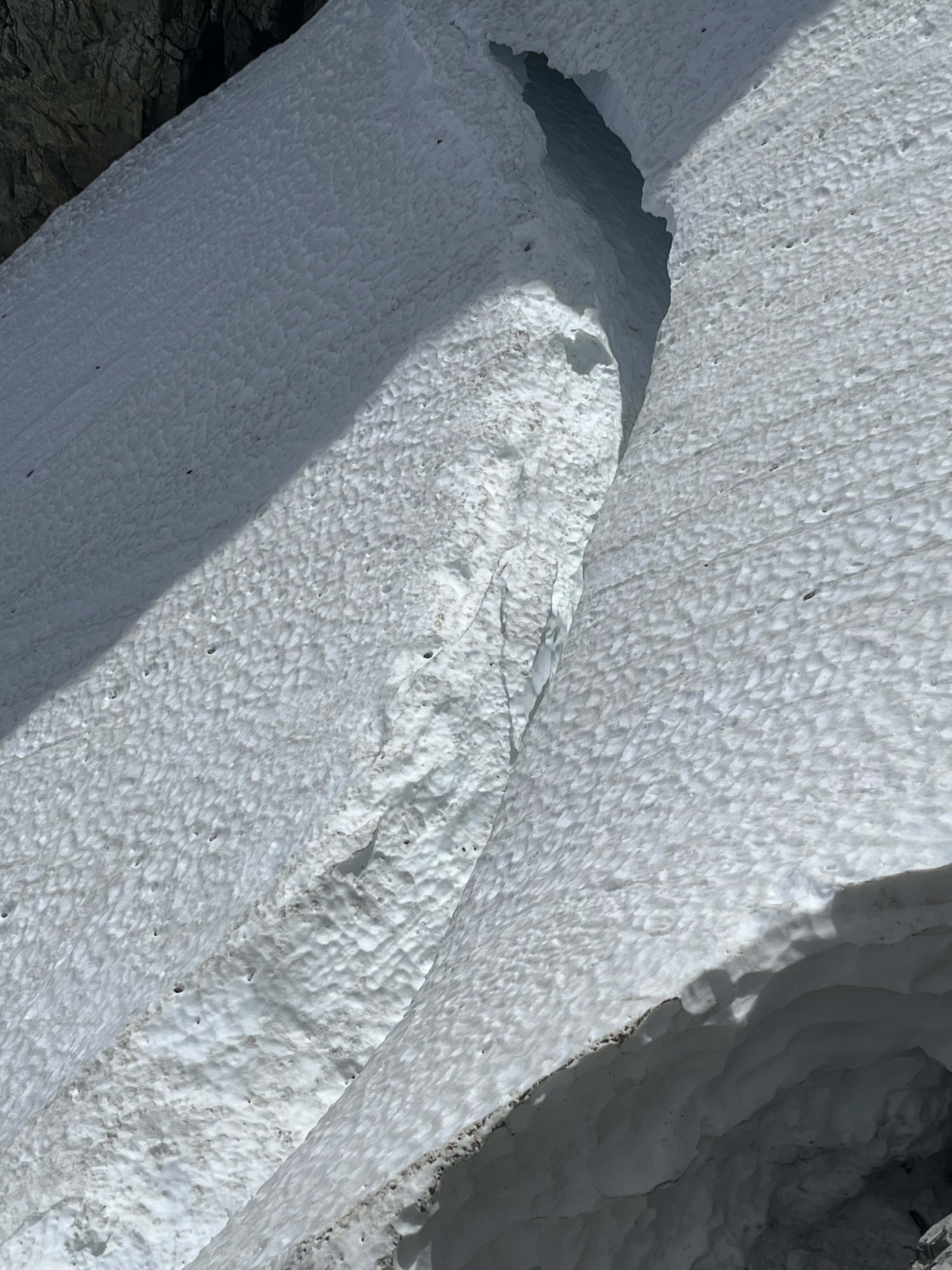
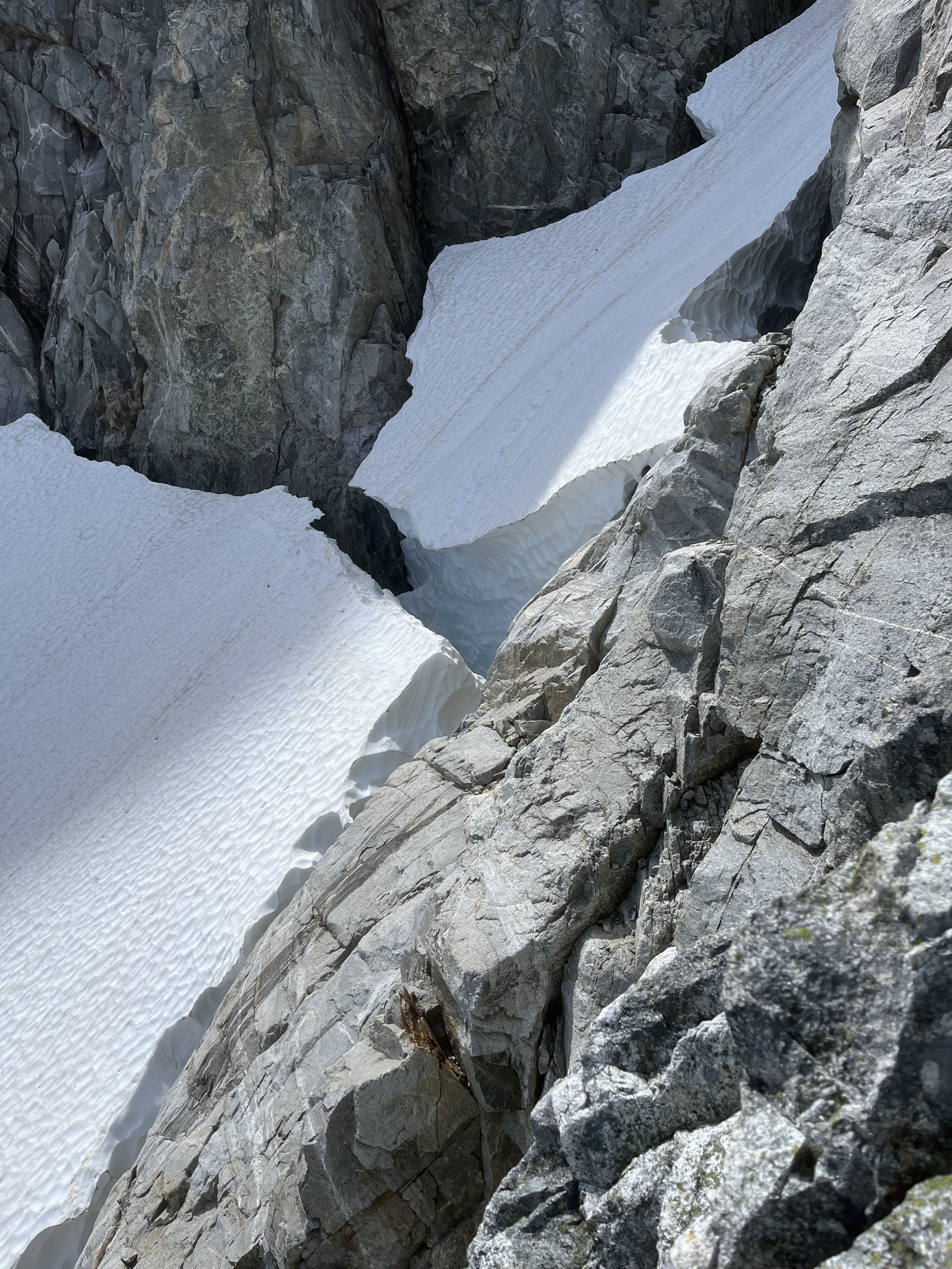
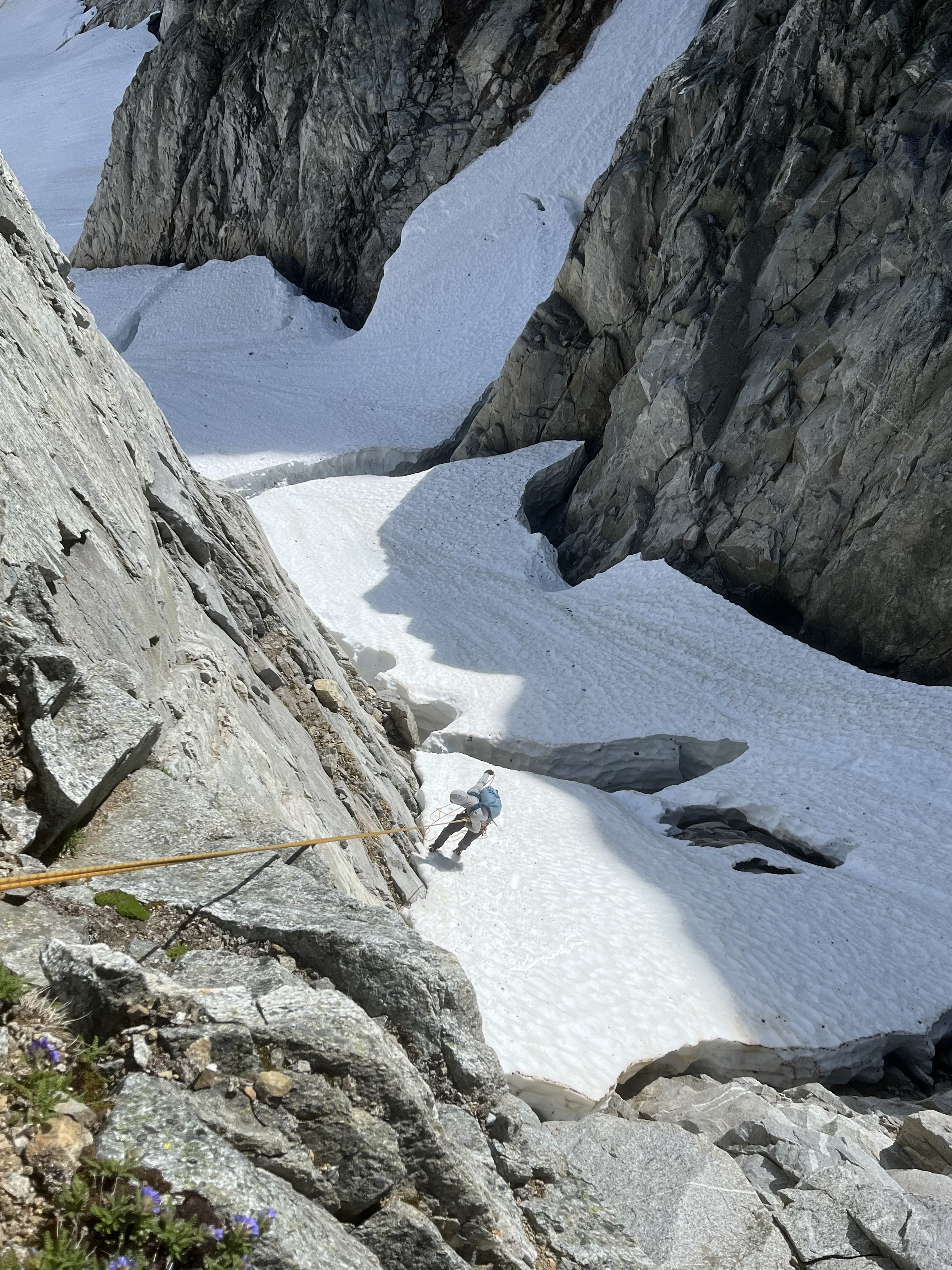
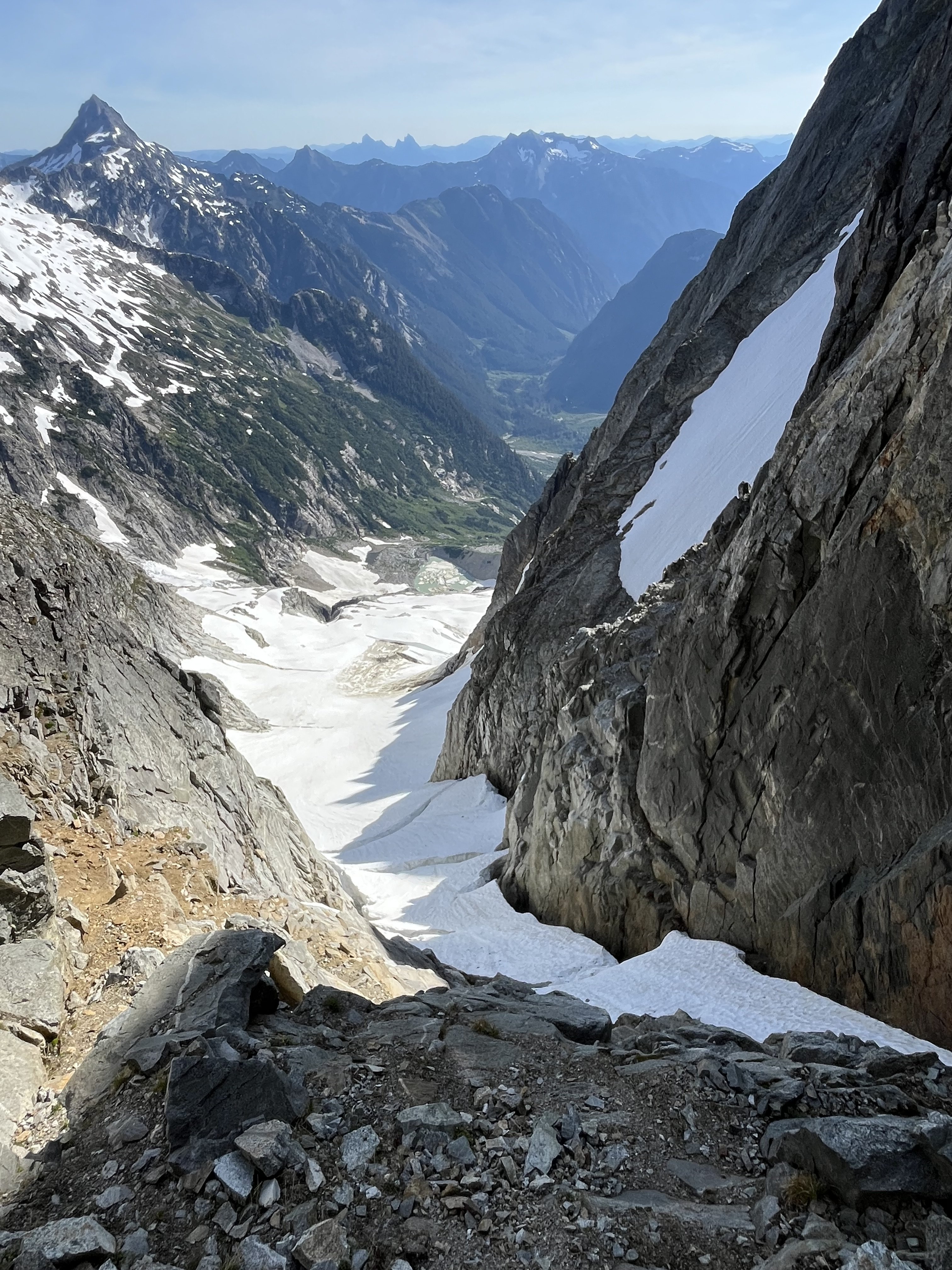
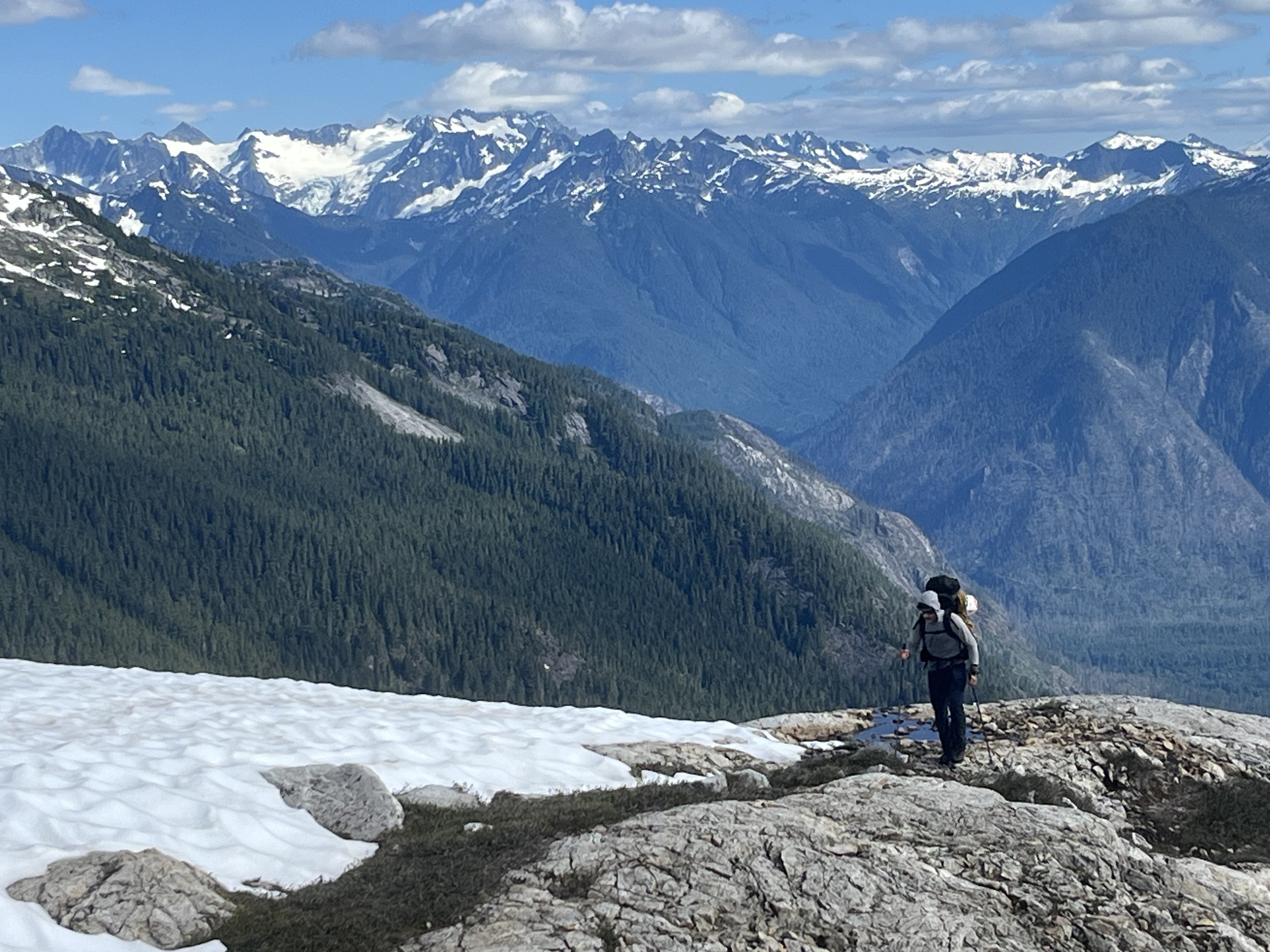
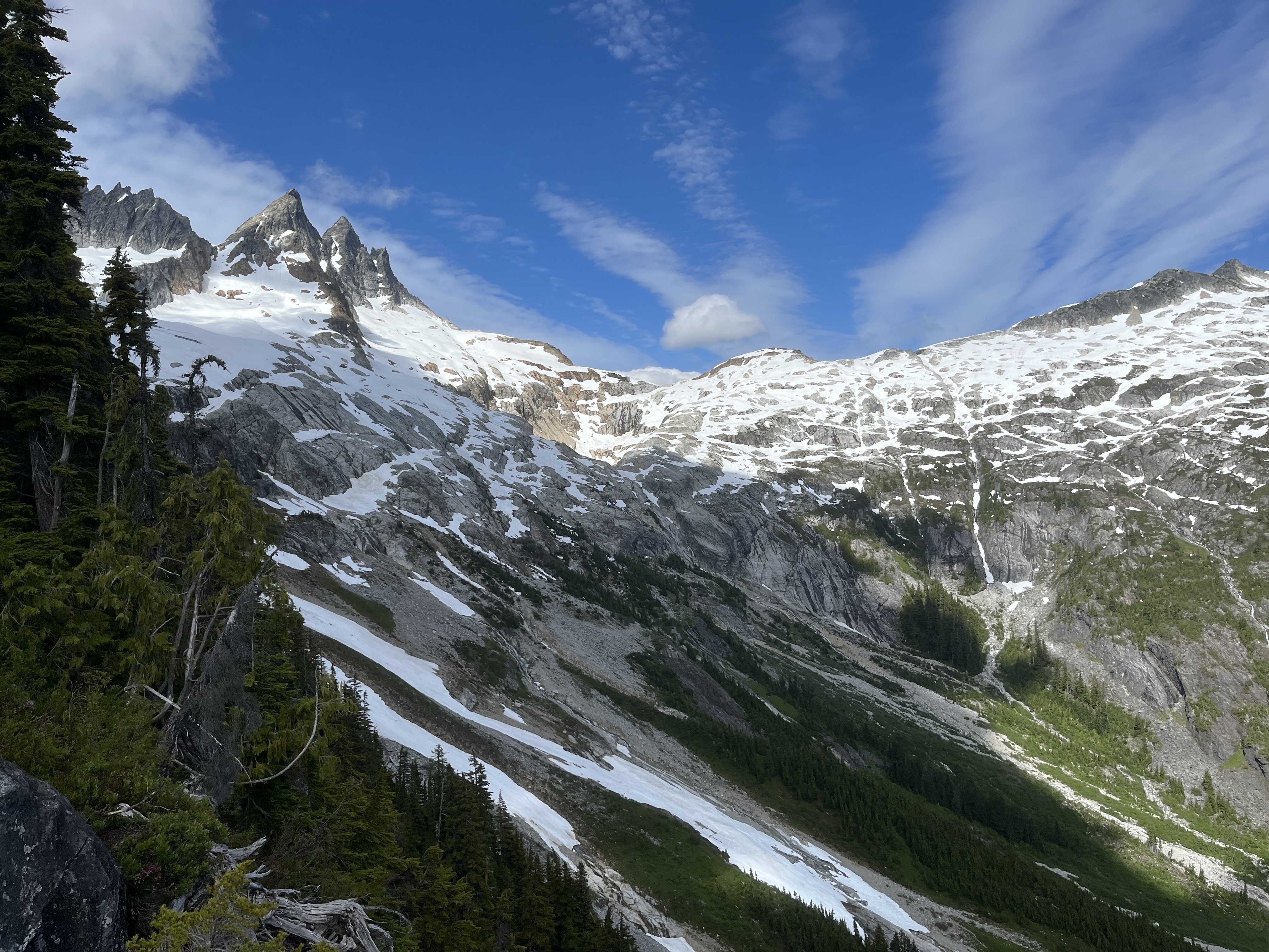
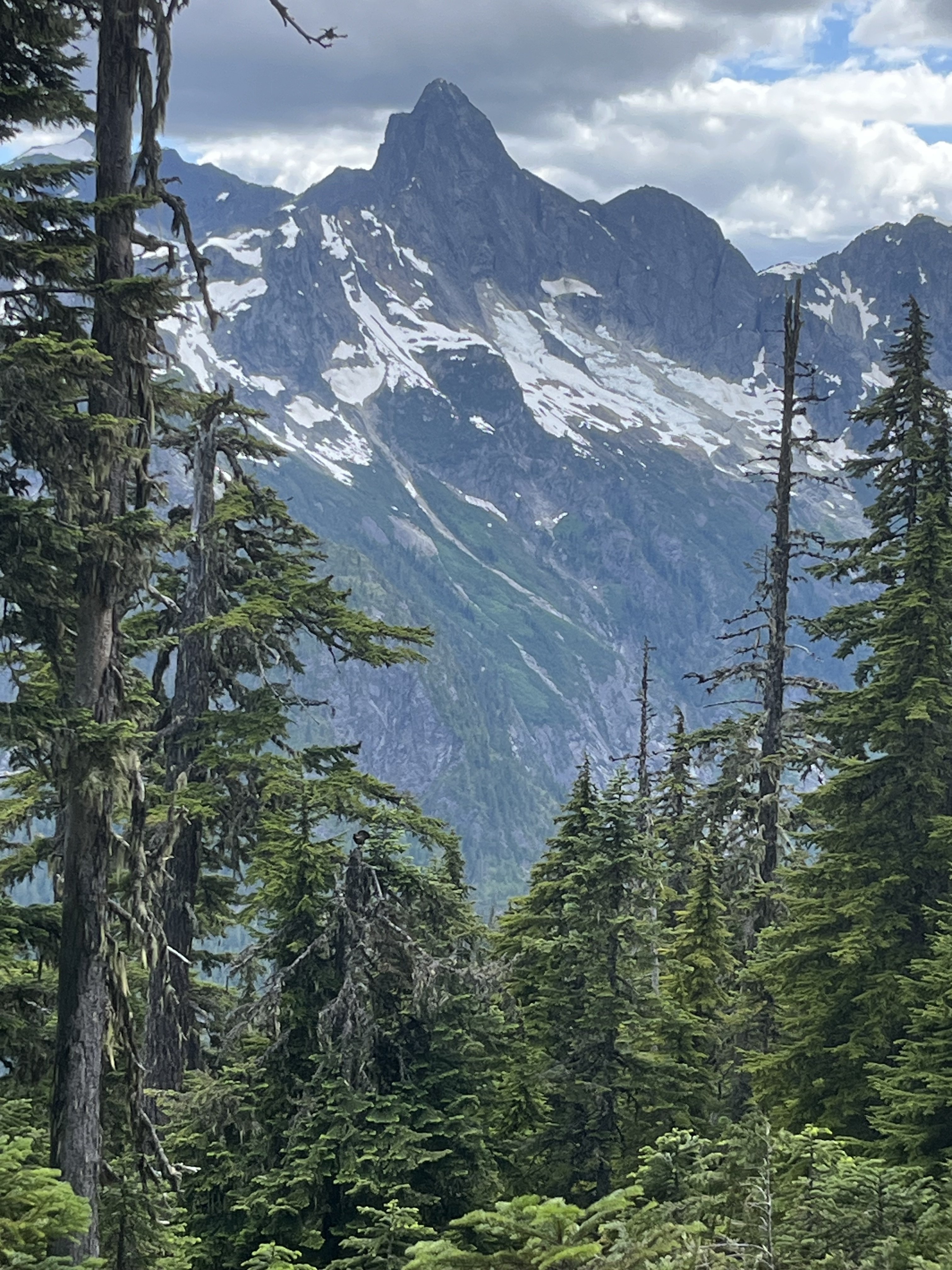
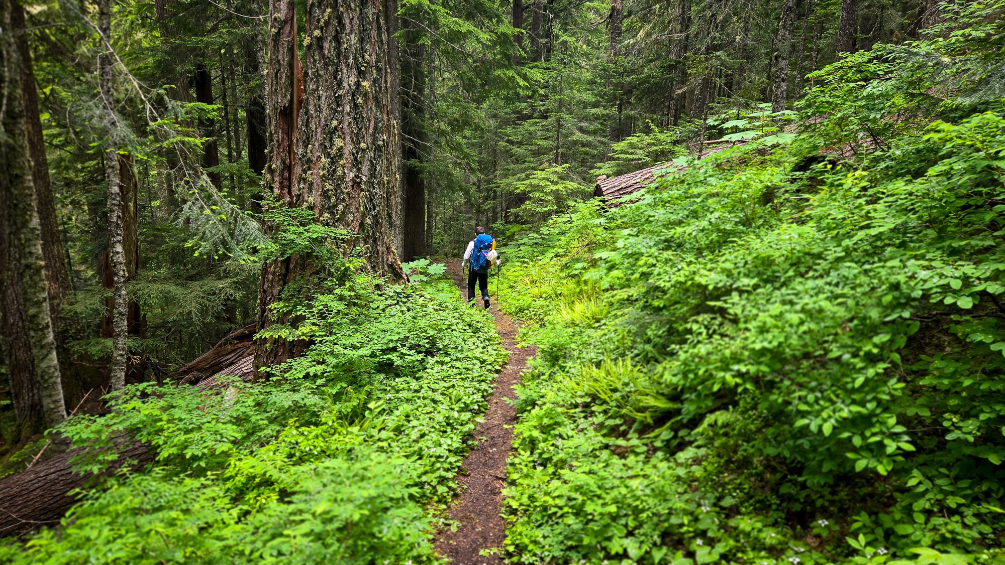
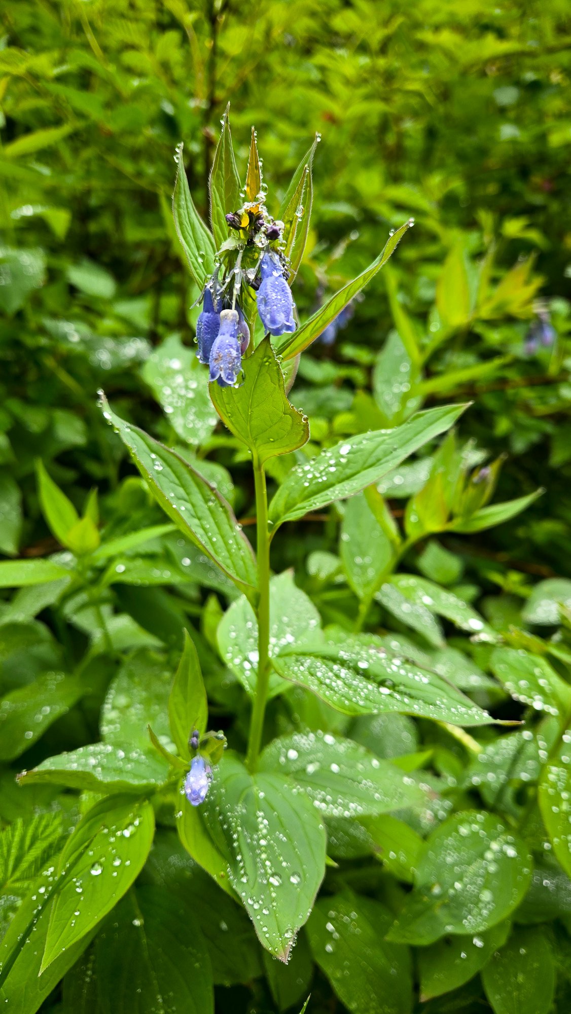
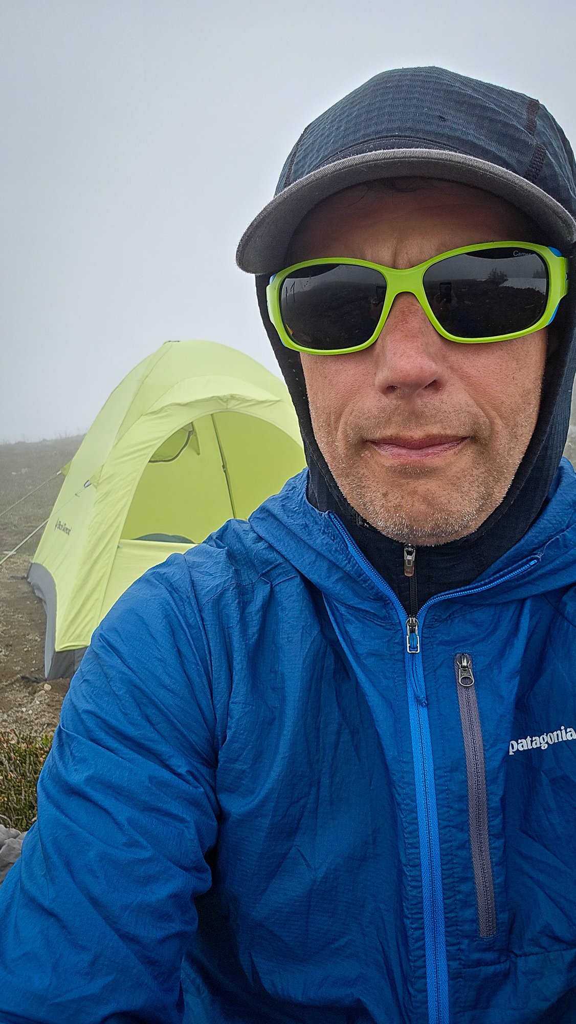
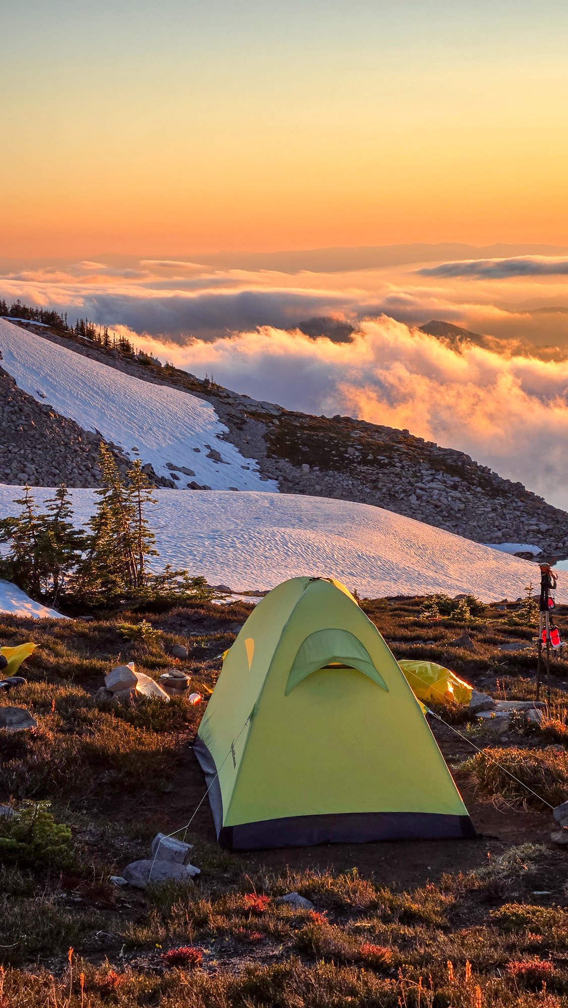
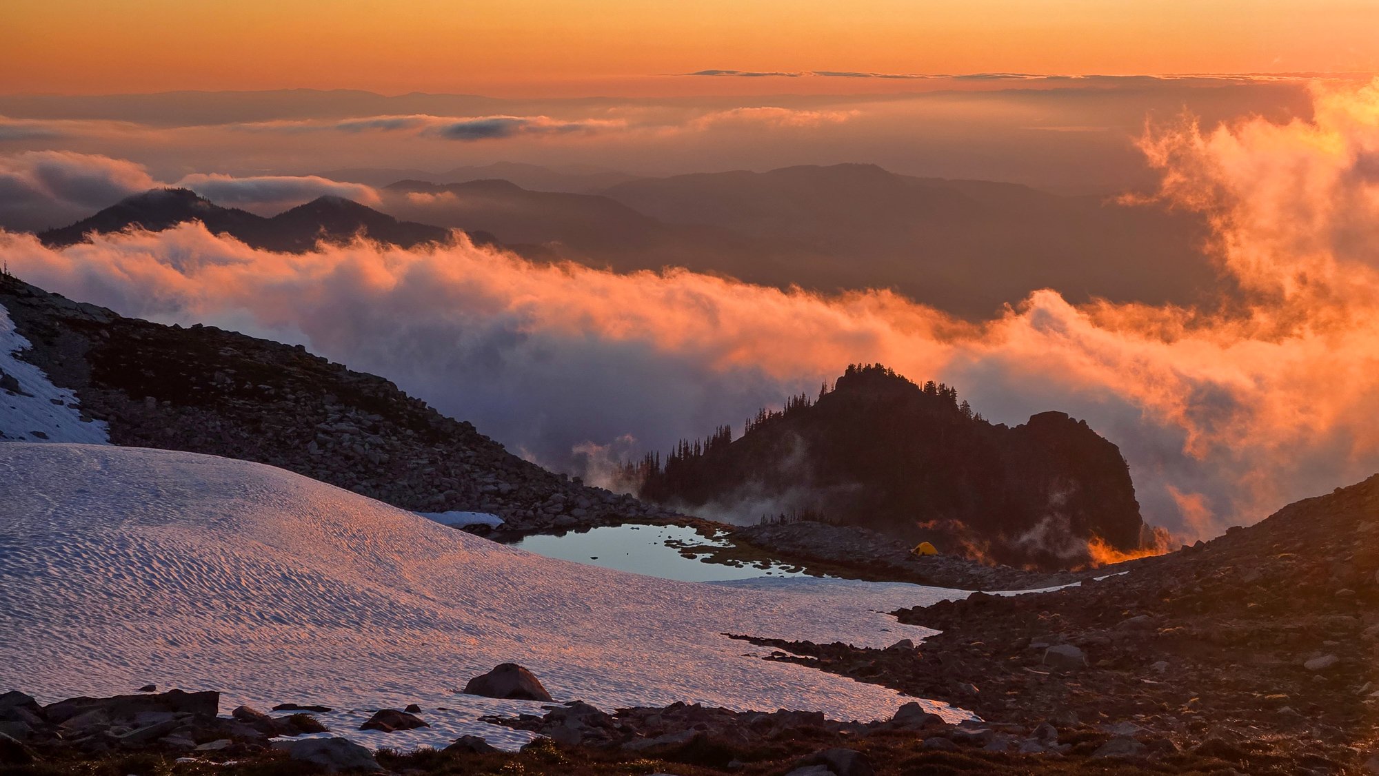
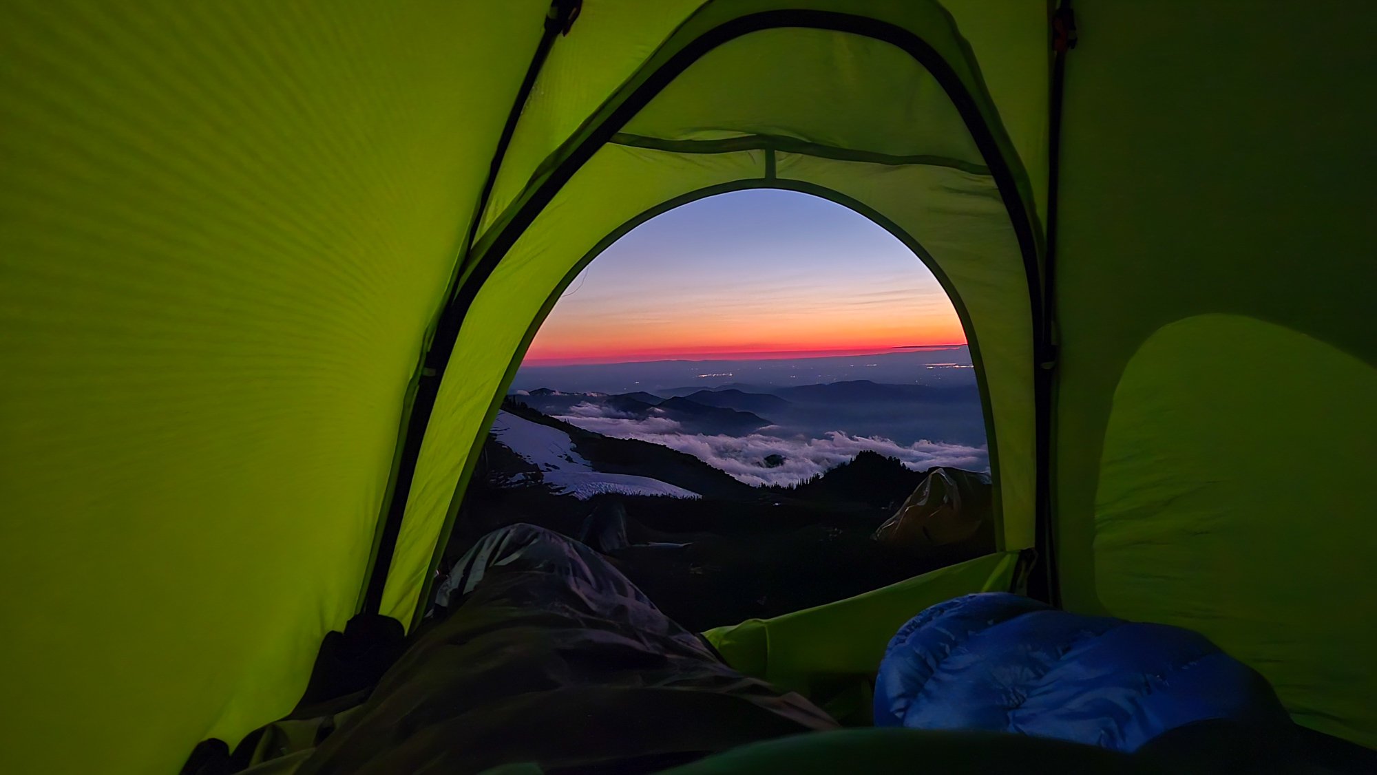
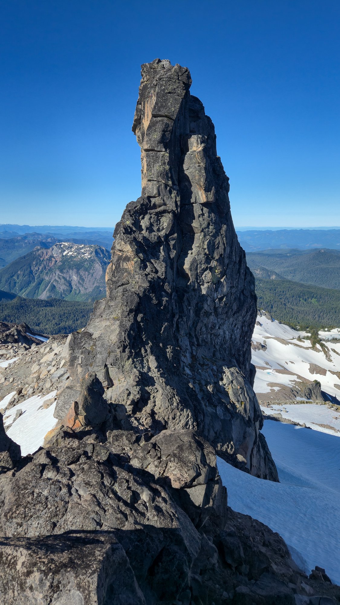
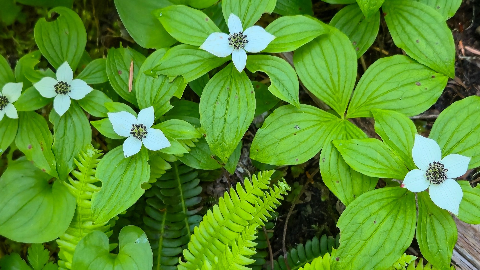
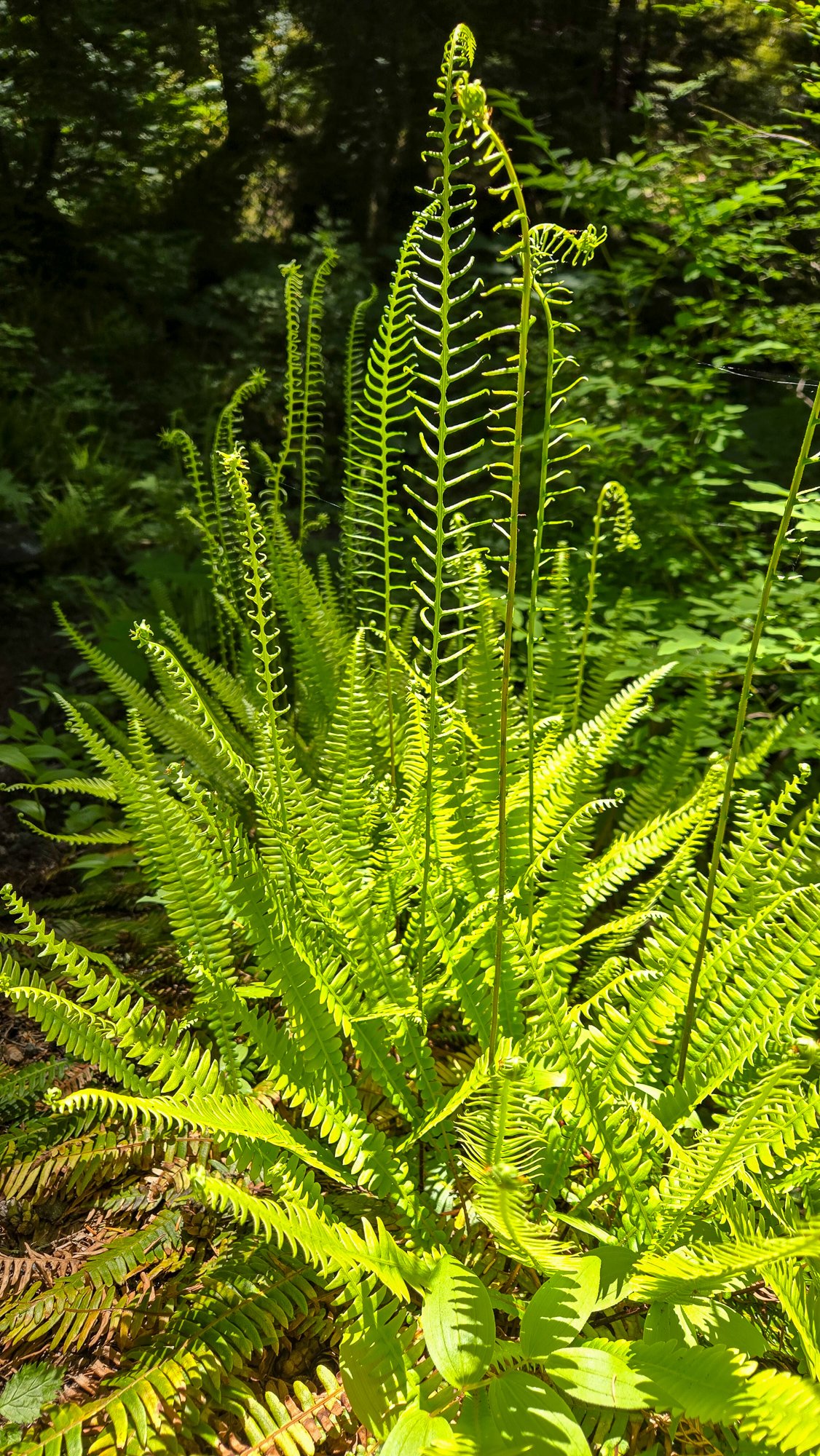
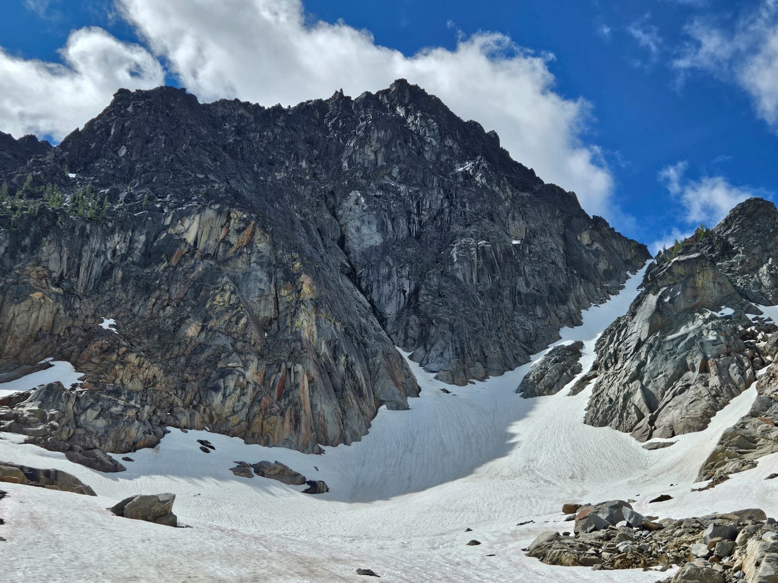
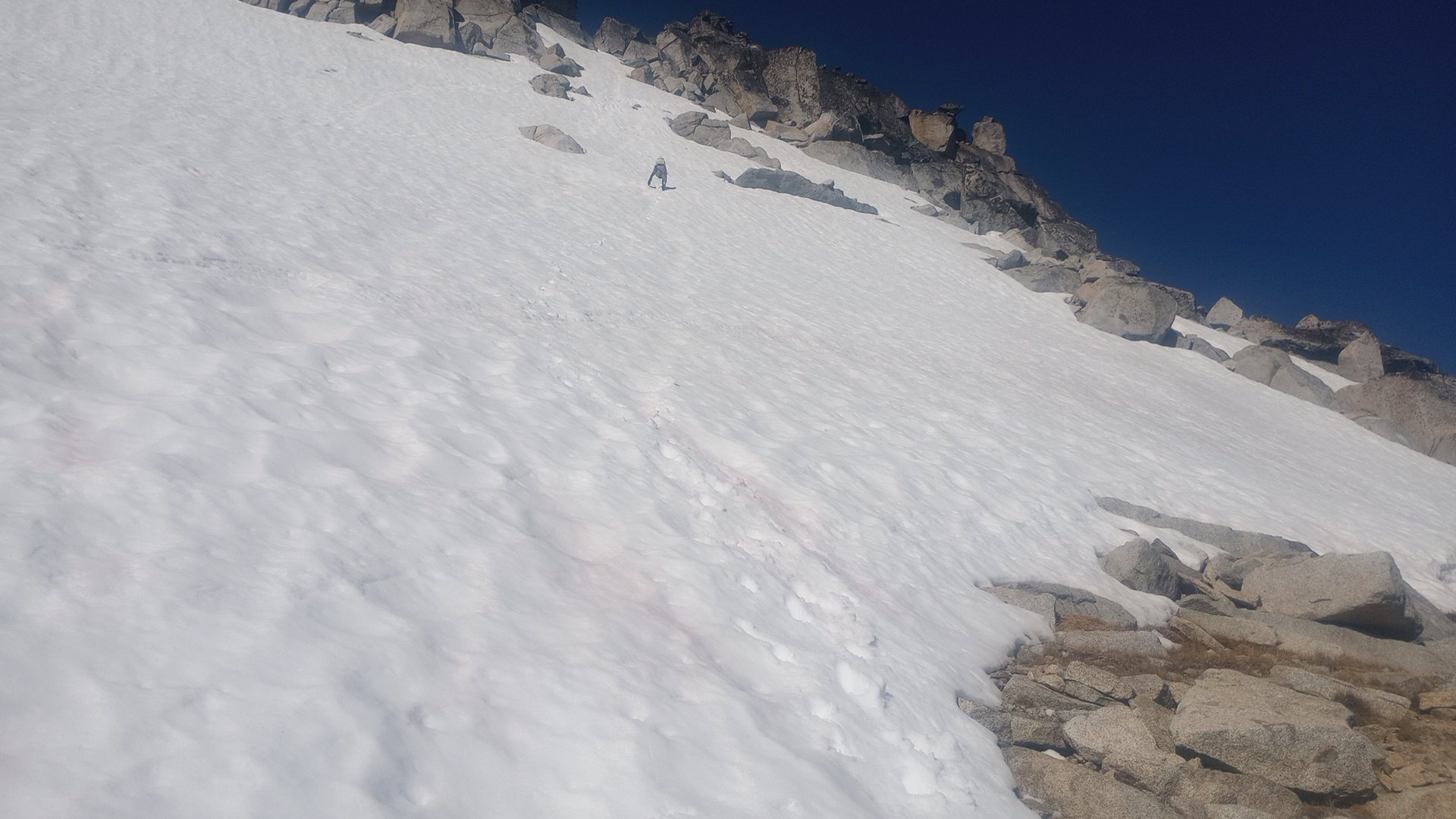
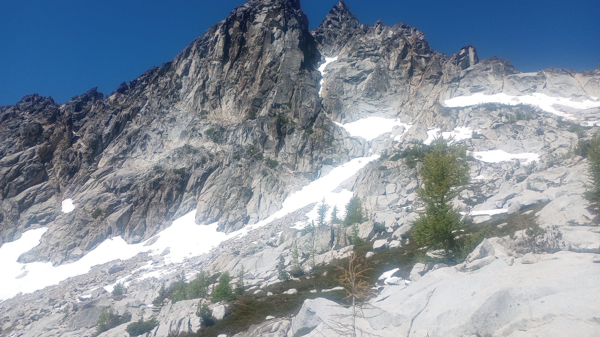
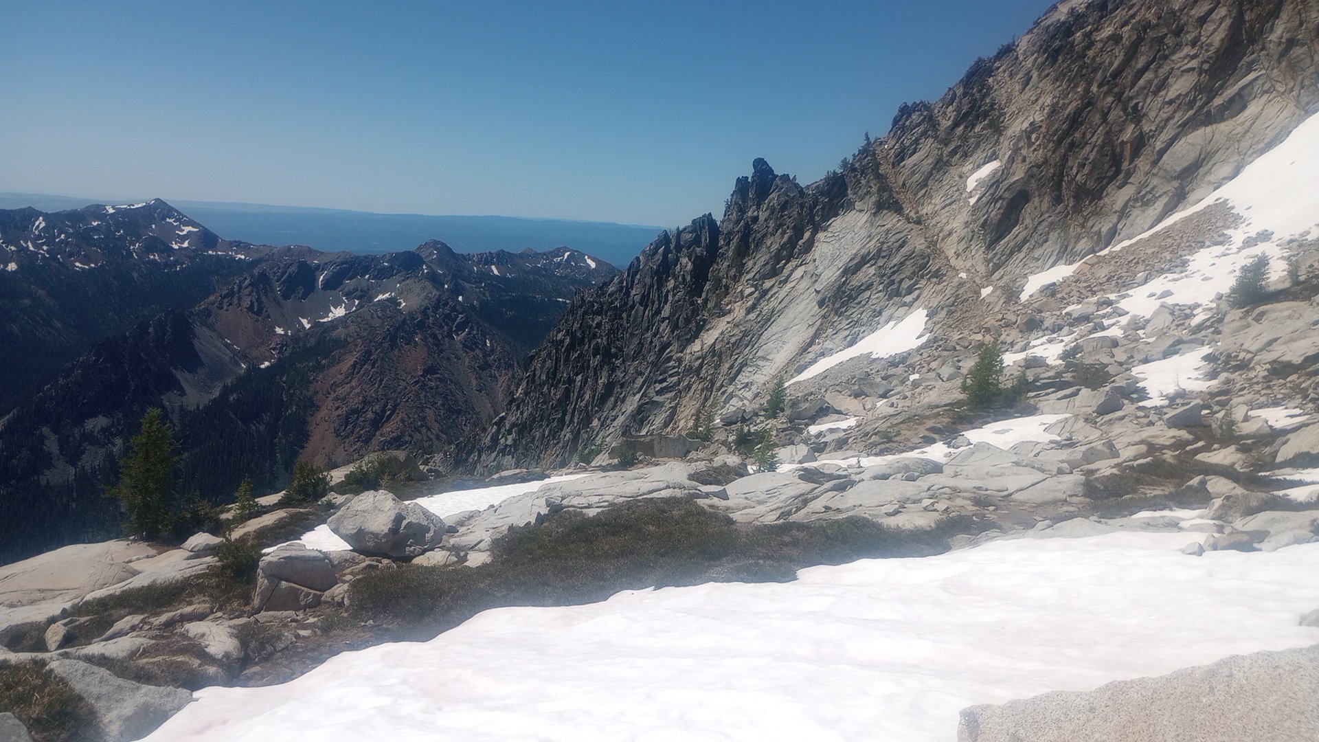
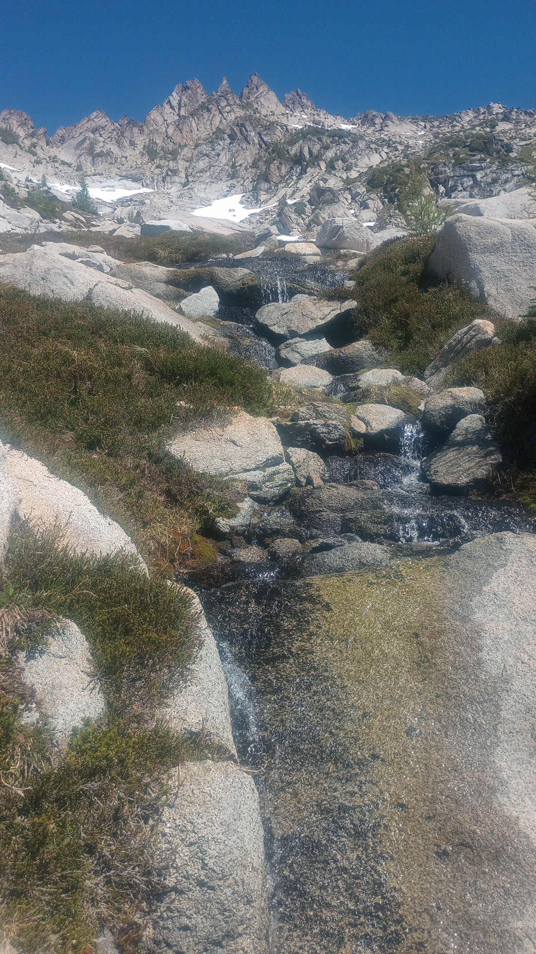
Trip: Terror - N buttress (attempt), Himmelhorn - Wild hair crack, Degenhardt NW+E route, Pyramid - W route Trip Date: 07/04/2025 Trip Report: Drawbridged again in the pickets for the second time in a week. After the standard rap into the couloir north of Otto-Himmel col my partner @aikidjoe encountered a moat that appeared impassable. He ascended back to the station and I took a look down the next gully skiers left. From lower down I could see it would have been no good to try the moat (which would have required an absurd running leap) because another moat was not far below that one. I kept descending adjacent to the couloir, finding mostly solid, even fun, exposed class 4. There was a short low fifth corner with a lemon cake sized block that kept it secure. I passed a slung block with old webbing. Where things cliffed out I found some good .1-.2 cam sized cracks that could be used for a rap anchor. My 60m rope easily reached continuous snow from there (maybe 20m rap). Last year at exactly the same time of year I downclimbed continuous snow down this couloir without even needing the first rap. And last year was a low snow year too. So I was pretty surprised at the state of the couloir. This workaround skiers left seems viable to me. Posting it here in case it helps anyone. The false start and exploration ate up enough time that we decided to bail on our plans for the Stoddard route and head back up to climb WHC instead. My partner was bemused because he expected a crack climb The day had started clear. On our way back down from O-H dark gray clouds moved in to block the ridge. I was glad we weren’t somewhere high on the north buttress of Terror. Next day was quite socked in. We headed off for Degenhardt, accidentally heading up from the south before correcting course for our intended NW route from near Terror’s east col. To gain the couloir there was short choke that steepened at the end to maybe 80 degree snow. We underestimated the angle from below. Odd, usually it’s the opposite. We were able to bypass this on slabs on our return. The foreboding weather and lack of visibility gave the climb a serious feeling. As it gradually cleared on the way back the route started to feel easier. There is plenty of choss on Degenhardt but I recall the scramble being pretty fun. While extracting the summit register I dropped its pencil down some hole. Sorry. From there we groped our way slowly toward Pyramid. The route finding in the clouds was trickiest near Degenhardt. Was glad to carry ax/whippet all the way due to about ten steps through a narrow and steep snow couloir to get to Pyramid’s rock pyramid. We had peek a boo views into McMillan cirque but could see nothing at all to the east. By the time we passed back west of Degenhardt the clouds were lifting and it was a relief to see where we were going. The weather kept improving and the sunset was a real mind melter. UFOs came out in force. Next morning greeted us with more clear weather but having had our fill we bid adieu to the goats and our impeccable camp. After the bruising descent we enjoyed copious berries south of terror creek. Gear Notes: 60m rope and light rack, crampons, ax or whippet Approach Notes: Goodell
 1 point
 -
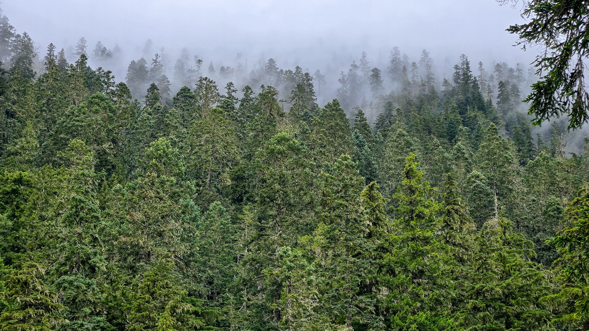
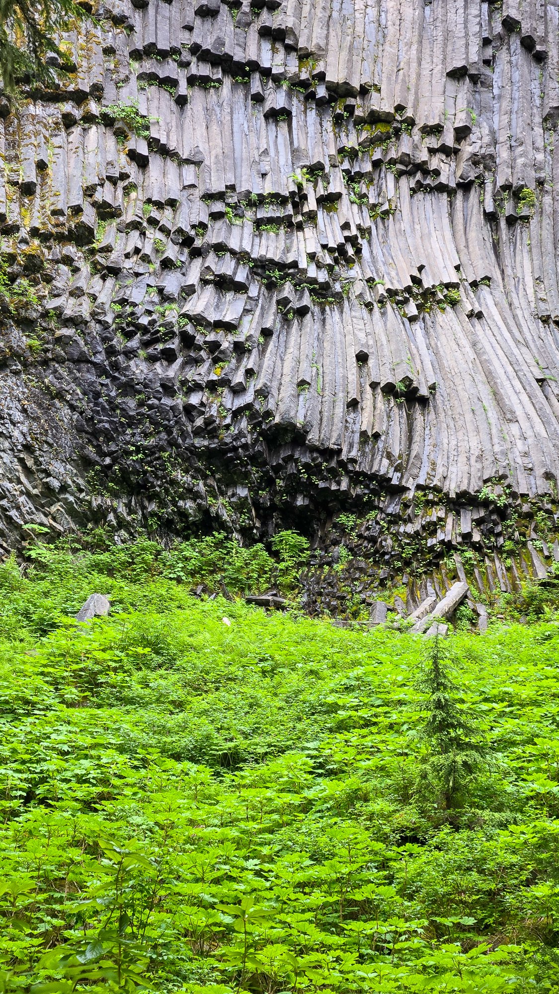
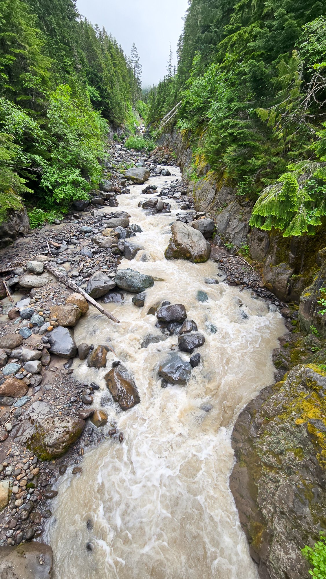
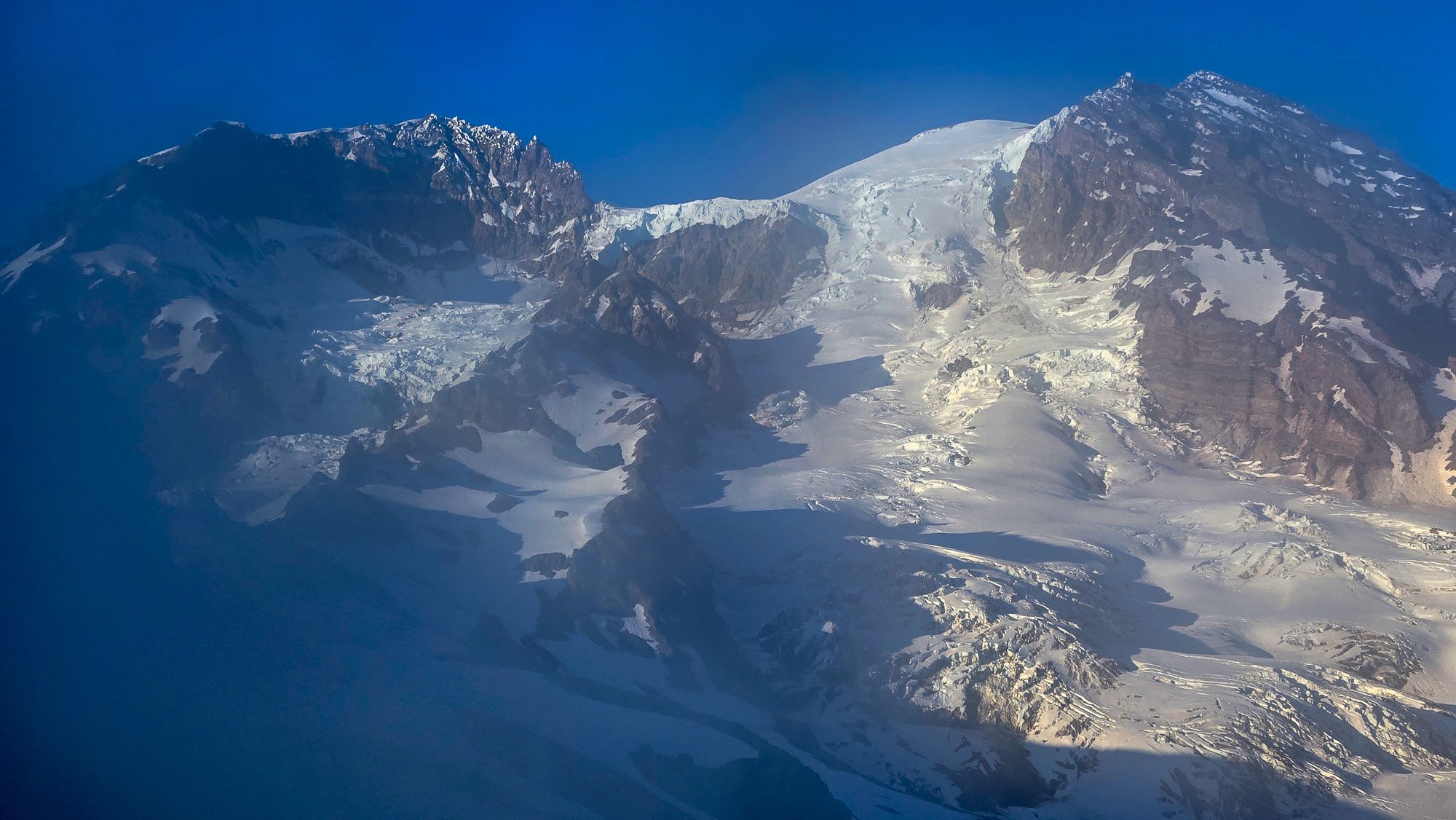
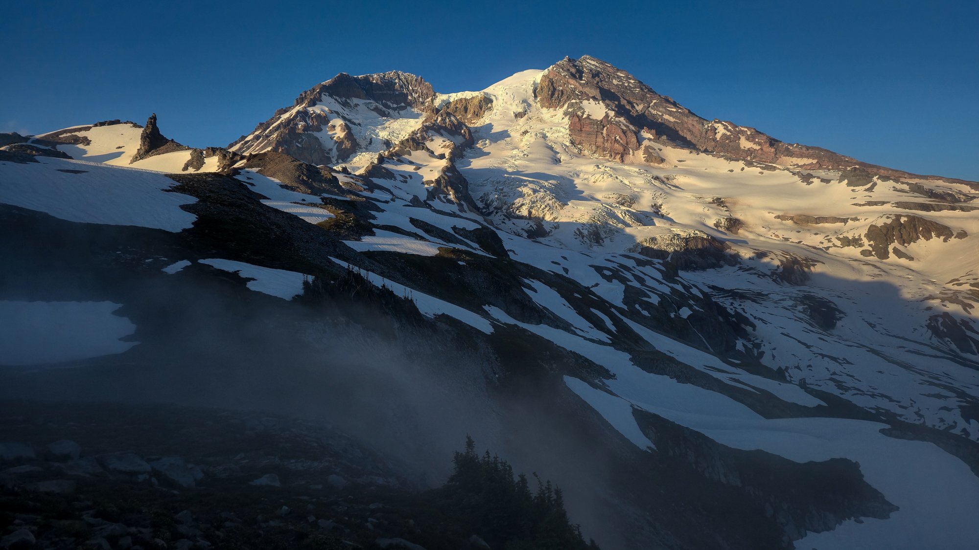
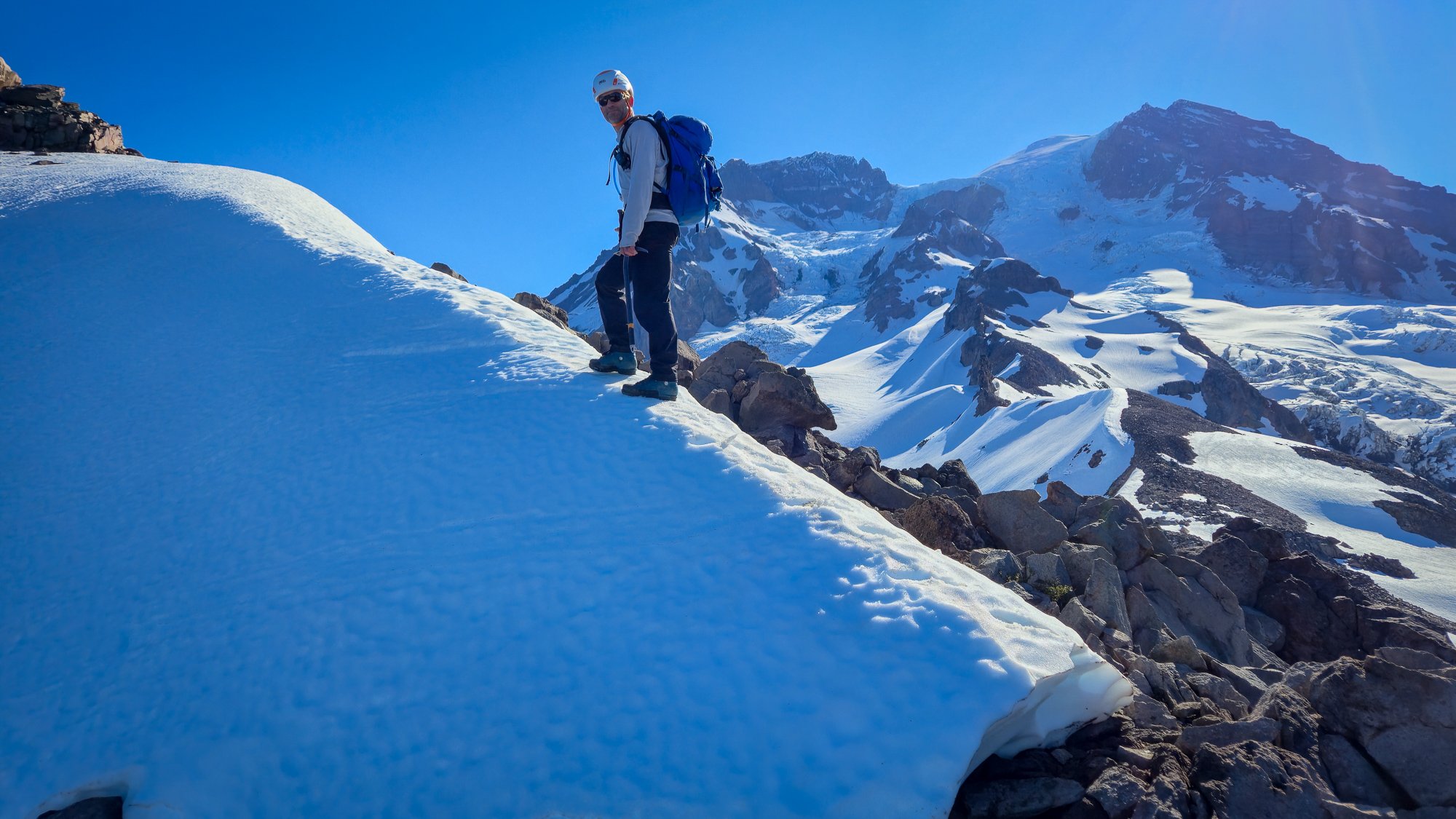
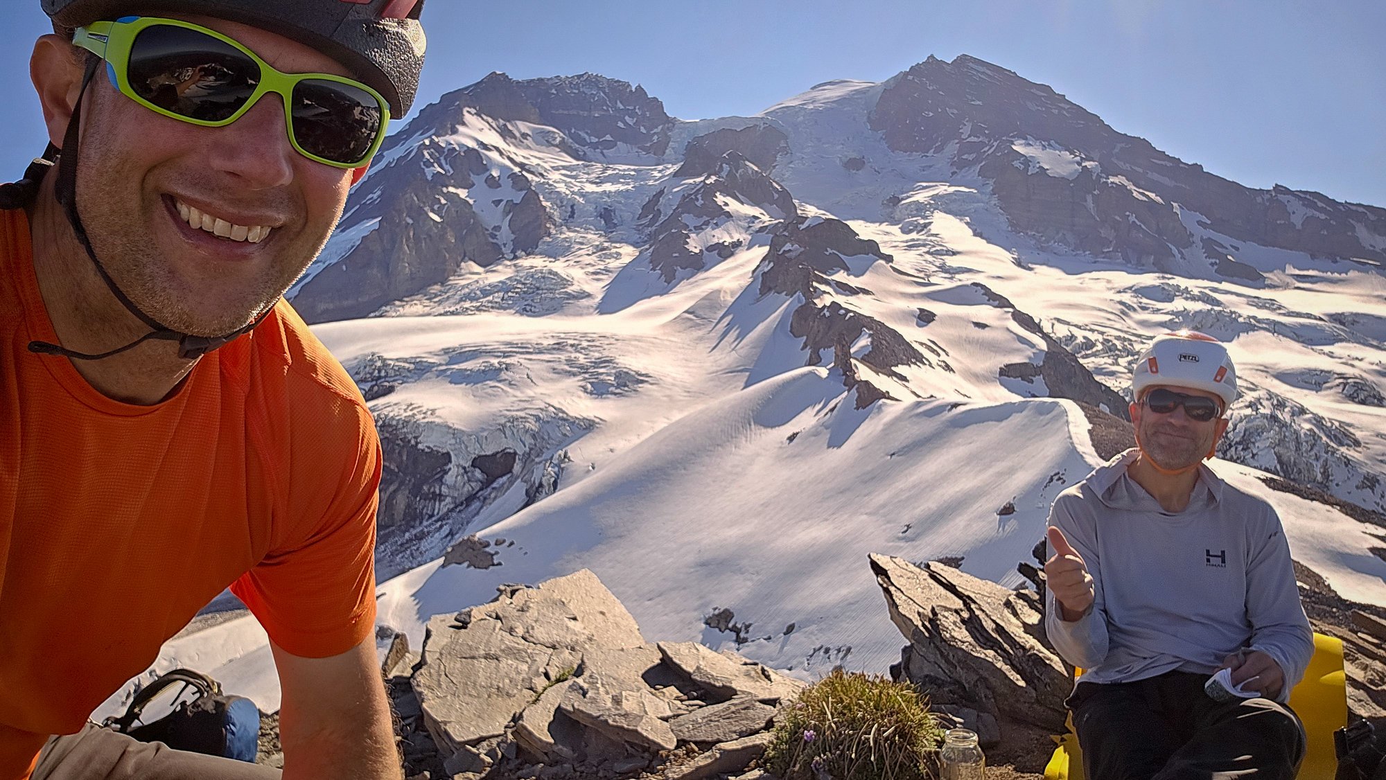
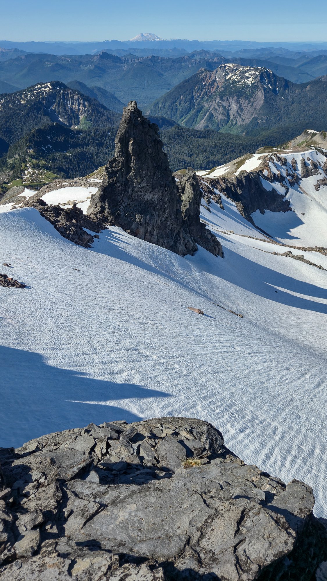
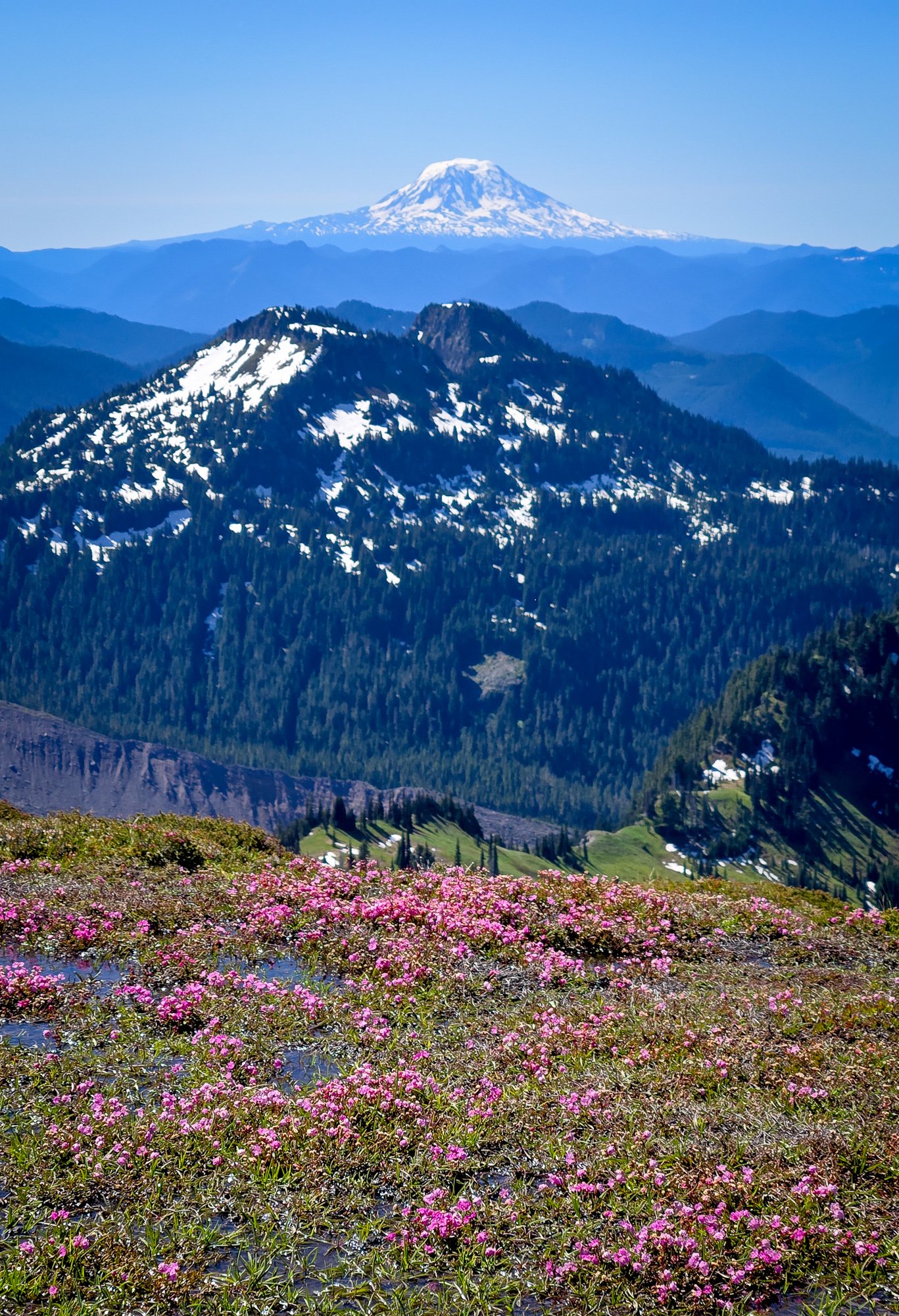
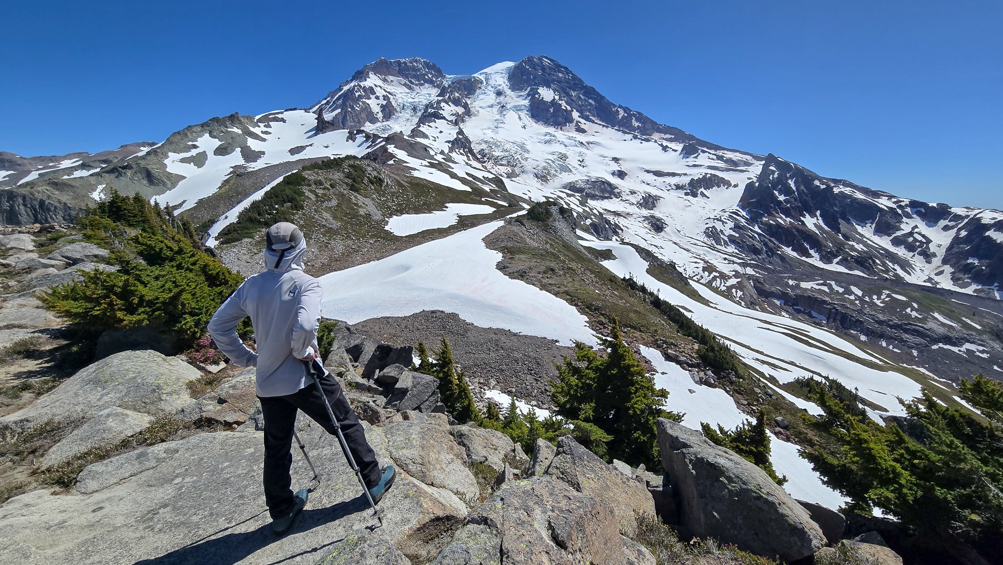
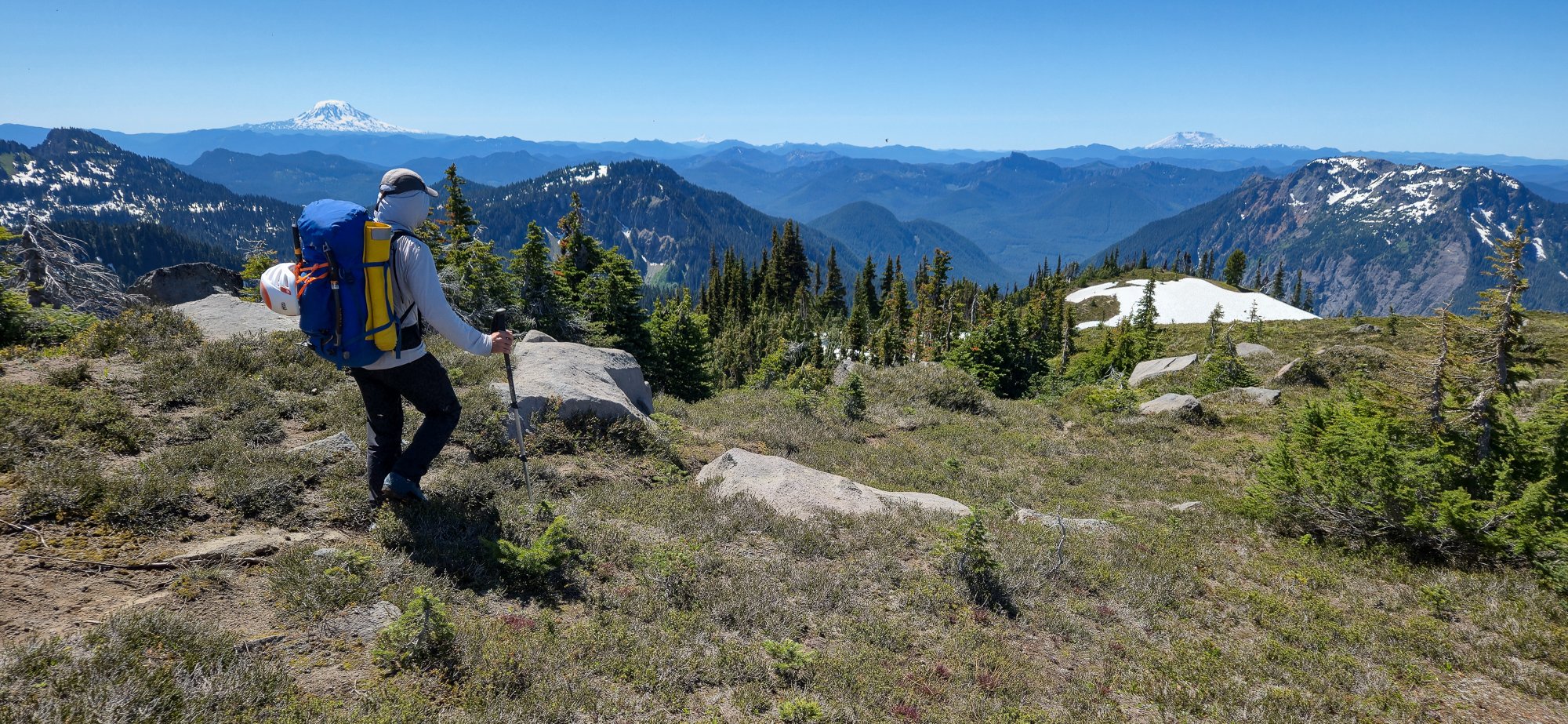
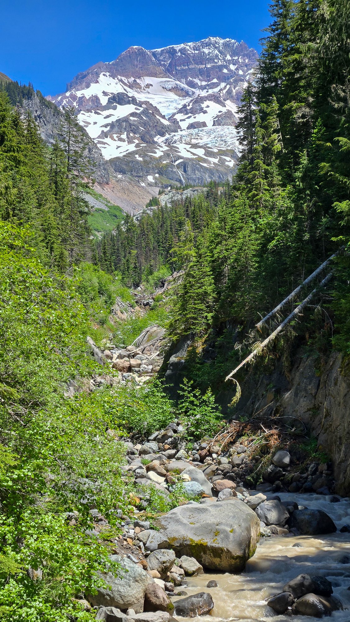
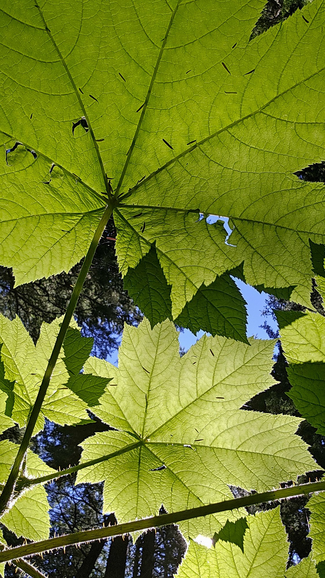
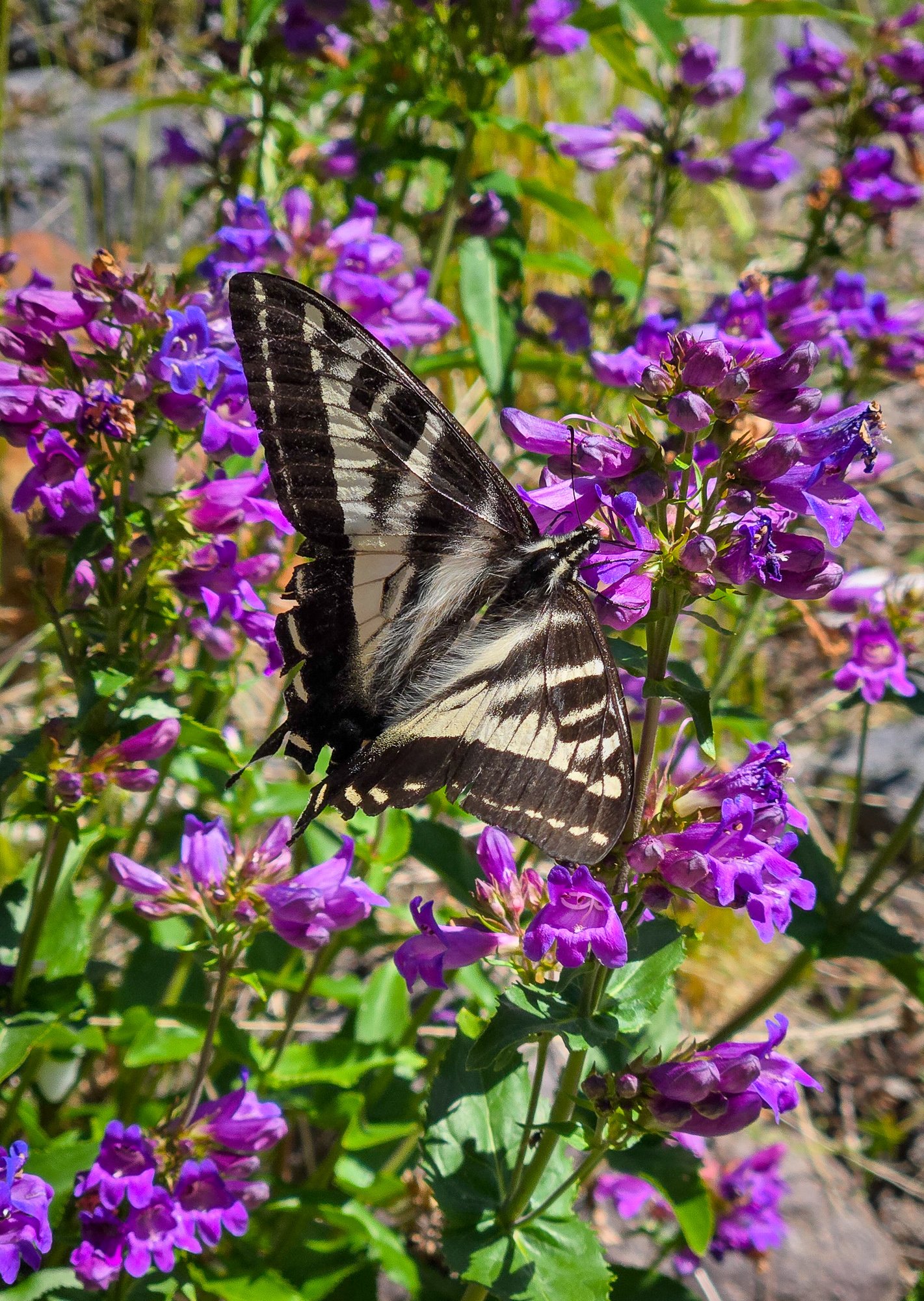
Trip: Tokaloo Rock (Sunset Ridge bailure) - Standard Trip Date: 06/29/2025 Trip Report: Sometimes prudence is the better part of valor....or at least that is what @Trent and I told ourselves as the murk cleared and we had our first good look at Sunset ridge after walking in for 10 miles in our venerable Lowa Civettas. We were camped at what we thought was going to be our "low" camp, next to some partially melted tarns to the NE of Andrew Benchmark, above St. Andrews park. Our high camp was planned for about 11.1k on Sunset ridge the next day. However, the entire upper mountain was very boney in the fading light and it looked like a several hundred vertical foot section of the ridge where the route went was completely bare of snow (~11.5-12k). Hmmmm. We had enjoyed the scenic ramble in from the NPS gate at their chosen spot on the still very drivable West Side Road earlier that day. Lush forest, interesting geology, wildflowers, and swirling mists, it was unlike most approaches to the highest point in WA. But then we got to camp and the predicted clearing didn't materialize and so we sat, napped, and stewed. But then, like magic, the veil was lifted and Tahoma was revealed! As was the camp of a neighbor, who had snuck up on us in the mists. We would find out the next day that it was none other than our very own @DPS, who I had last climbed with back in 2005! But as we turned in for the night, @Trent and I both agreed that we didn't want to climb Sunset the next day. We wanted to climb it in good conditions, not just climb it, and it was plain that it was not in good nick. And so we turned in for the night. I admit I wrestled with the decision throughout the night and didn't sleep that well. Were we just being old and scared? Would the route have gone fine? I felt like we never would know (actually, that was wrong- see below). But the next day dawned clear and bright and the least we could do was take a ramble up to Tokaloo Rock with light packs. It truly is a glorious side of the mountain and it was hard to complain about "missing out" on Sunset Ridge. Adams: Tokaloo Spire! From this side it looks very stout, which @Fairweather confirms below. Maybe easier from the other side? Looked blockier but neither really matches the Beckey description. Maybe another time! @Trent rambling up towards the top of Tokaloo Rock: Cumbre! What a view of the West side of Tahoma: Tokaloo Spire and St. Helens from the summit: Lovely parklands and Adams: We couldn't ignore how far we were from the car, however and in time retraced our steps back to camp and packed up. There was cell service up there so I checked if the nearby "Andrew" benchmark was on any peak lists. Turns out it on the "Mountaineers 100 Peaks in Mount Rainier National Park". As @Trent says, It must be climbed! And, so it was. @Trent admiring the view from summit #2 of the day: And then began the ramble out in our plastics.... which was long, but at least it was hot! My feet took a beating. Tahoma from the Puyallup River crossing on the Wonderland trail. Sunset ridge is the left skyline. That bare section is I think where @Nick Sweeney got to before they bailed (description and link below): The hike out through the lush forest was just as beautiful as the hike in, even if a bit longer (it always seems that way doesn't it?). Even though we didn't even get very high on the mountain, this route has set the hook in me. There is just something about climbing the entire mountain that appeals to me, and is a feeling that is easy to escape on the more common Rainier routes. Sunset is long enough, we a low enough start to be very sporting. We will be back! RESPECT: Western Tiger Swallowtail: Gear Notes: snow gear if there is snow.... easy class 3 scrambling to the top of the rock. The Spire is considerably harder Approach Notes: West side road to South Puyallup Trail to Wonderland Trail to off trail near St. Andrews Park. Good camps at tarns just NE of Andrew Benchmark
 1 point
 -
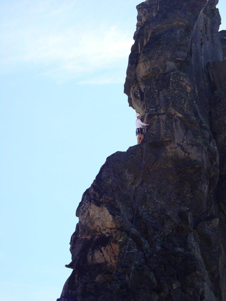
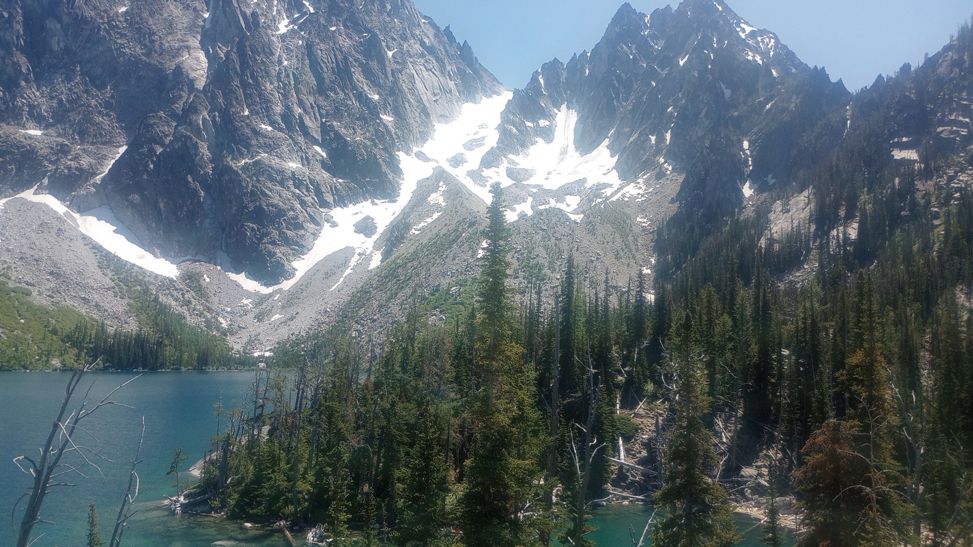
I checked out the East Ridge of Dorado Needle. For choss dogs like me, it was kind of fun and definitely a good way to spend a day on a multi-day mission in that area. Full report and photos here: https://spokalpine.com/2025/07/07/dorado-needle-east-ridge-iii-5-7/1 point
-
It was a great trip! Thanks Jon for bringing me along! That's pretty shocking the difference in the snow from O-H col from last year. Jon and I had some theories as to why... but I would love to hear other people's thoughts.1 point
-
Looks much more interesting than the NW Ridge! Thanks -- I'll have to check it out1 point
-
Sounds like a great adventure! Thanks for the photo beta!1 point
-
Great rescue pics as well! Glad everyone was safe and it ended up good practice!1 point
-
Thanks for the report, fun stuff up there. And terrifying chess as well. Amazing how quickly it changes when you can see where you are going or not!1 point
-
Less than 35 feet to go! I guess it would be the east ridge as our backs were to the Tahoma Glacier. Whether to go right or left here was beyond us.
 1 point
 -
Great report! Well done on the self-rescue too.?1 point
-
Пожалуйста (I don't speak Russian and I looked that up) it's a long single-day trip for sure. Many people camp at Lunch Counter on night one and then make their summit bid the next morning. not sure if you need permits for that but probably. space to camp at the trailhead can be tight - i had to cowboy camp on some open grass by the road once, but it all worked out. good luck!1 point
-
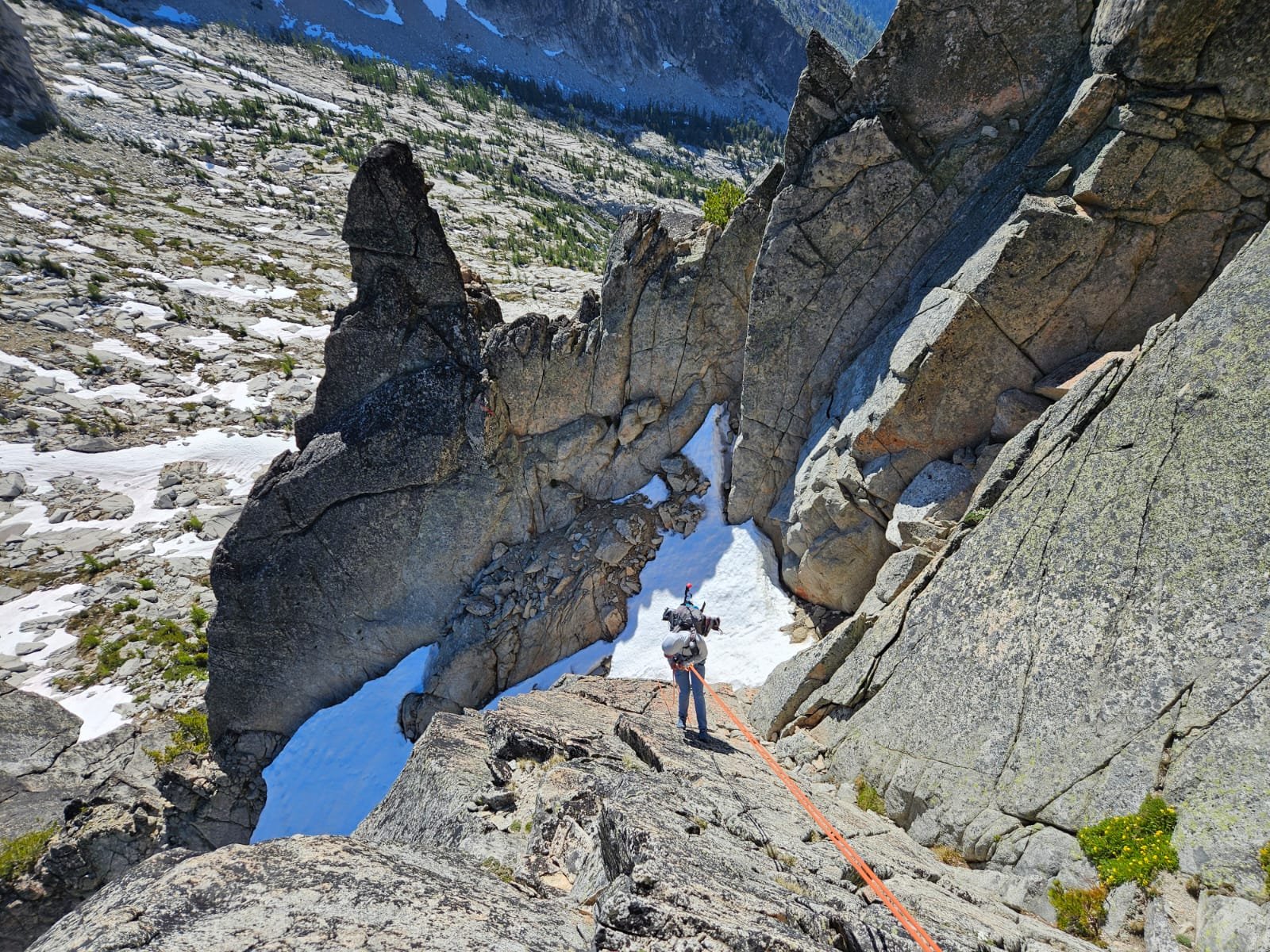
Thanks for your TR, Christopher! Dan and I had our own alpine adventure on the NW arete of Argonaut this past weekend, approaching and climbing to the summit on Saturday, sleeping near the summit, and descending Sunday. I am definitely glad we did it this way -- it made for two relaxed days without any need for headlamps and the snow on both approach day one and post-rappels day two was great for climbing, never too firm or icy. We thought the climbing was really fun and the whole trip had good adventure factor. I felt silly wearing trail runners and carrying light mountaineering boots AND rock shoes but it worked well for me; I think if I'd been climbing a whole lot of 5.8 recently I'd probably have felt good in approach shoes/not needing a third pair of footwear. We brought a single rack and that worked for us for 5 long pitches with a tiny bit of simuling. We were able to avoid MOST of the slide alder but luckily we weren't carrying skis and it wasn't the "trap you in place" variety so the handful of minutes of it didn't feel too tuff. We both switched to rock shoes for the "slab crossing" before the snow finger. The rock was sticky and great. There was snow under the big summit block so we didn't go thirsty with our summit bivy (beautiful sunset!). The descent made us think a little bit, but there are a lot of rap stations and trees and lots of beta. We did three single rope rappels and some 4th class downclimbing that could have been avoided... Here are our pics in case they're helpful for people heading out soon or hoping to check snow conditions in the area (high-quality photos are Dan's): Snow finger (that's a false top to it) Snowfield on the descent before starting rappels: Our second single rope rappel into the gully, we walked across 4' of flat snow then butt scooted/au chevalled the moat to get to the notch, rapped off tree on other side for third rappel: The traverse from the bottom of the raps over to the south side of the Colchuck Col was BEAUTIFUL:
 1 point
 -
Strong work! I just walked out from the Tokaloo area today after not liking the looks of a very boney Sunset Ridge. I saw your tracks and wondered what the team was up to. It looks like a pretty serious route, crevasse-wise, and even worse now than in your photos. Good work getting a group up and down that safely, especially with a deep crevasse fall! Thanks for the detailed write-up as well, all good things to think about!1 point
-
Wow! Thank you for sharing all your thoughts and experience. Great pictures as well. Glad everyone is ok and I’m sure the whole party learned a lot from the experience.1 point


