
Leaderboard

Popular Content
Showing content with the highest reputation on 02/04/26 in all areas
-
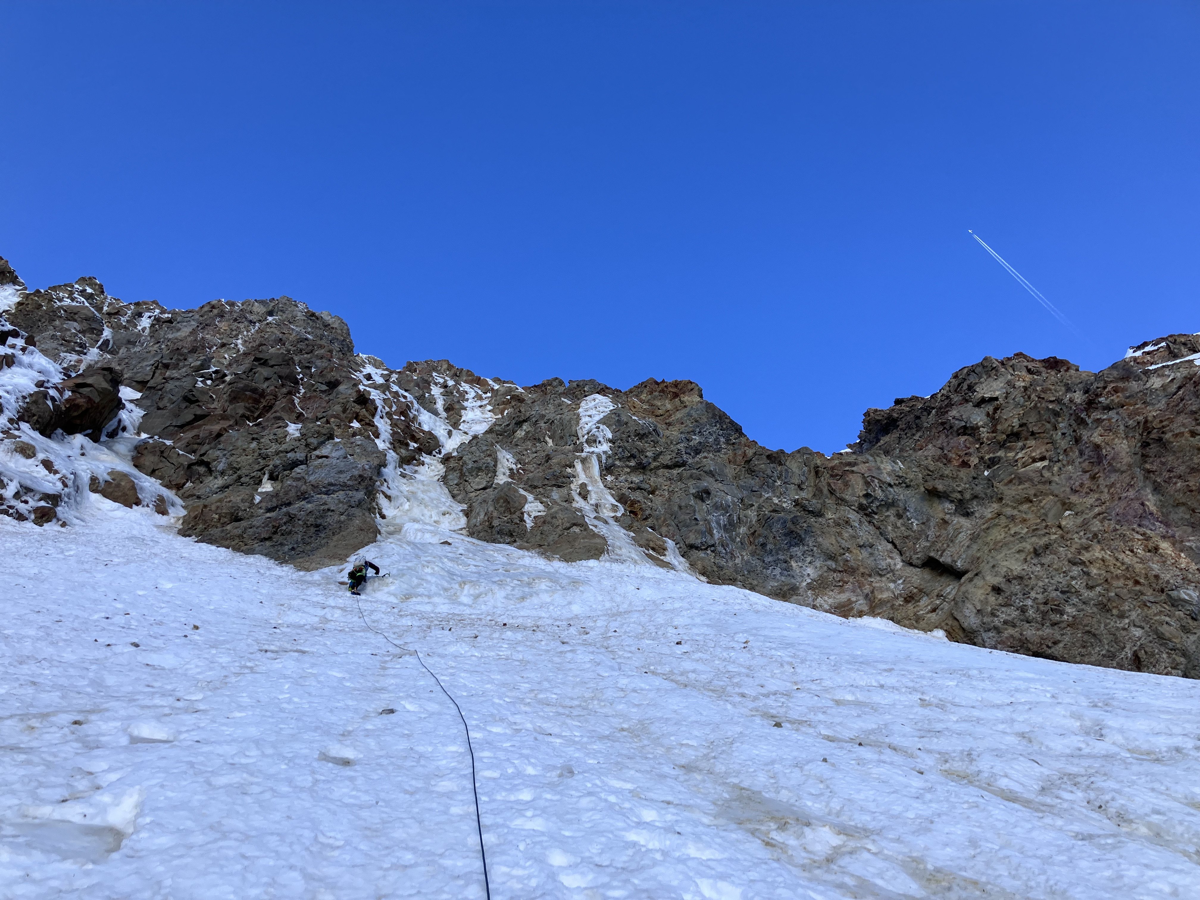
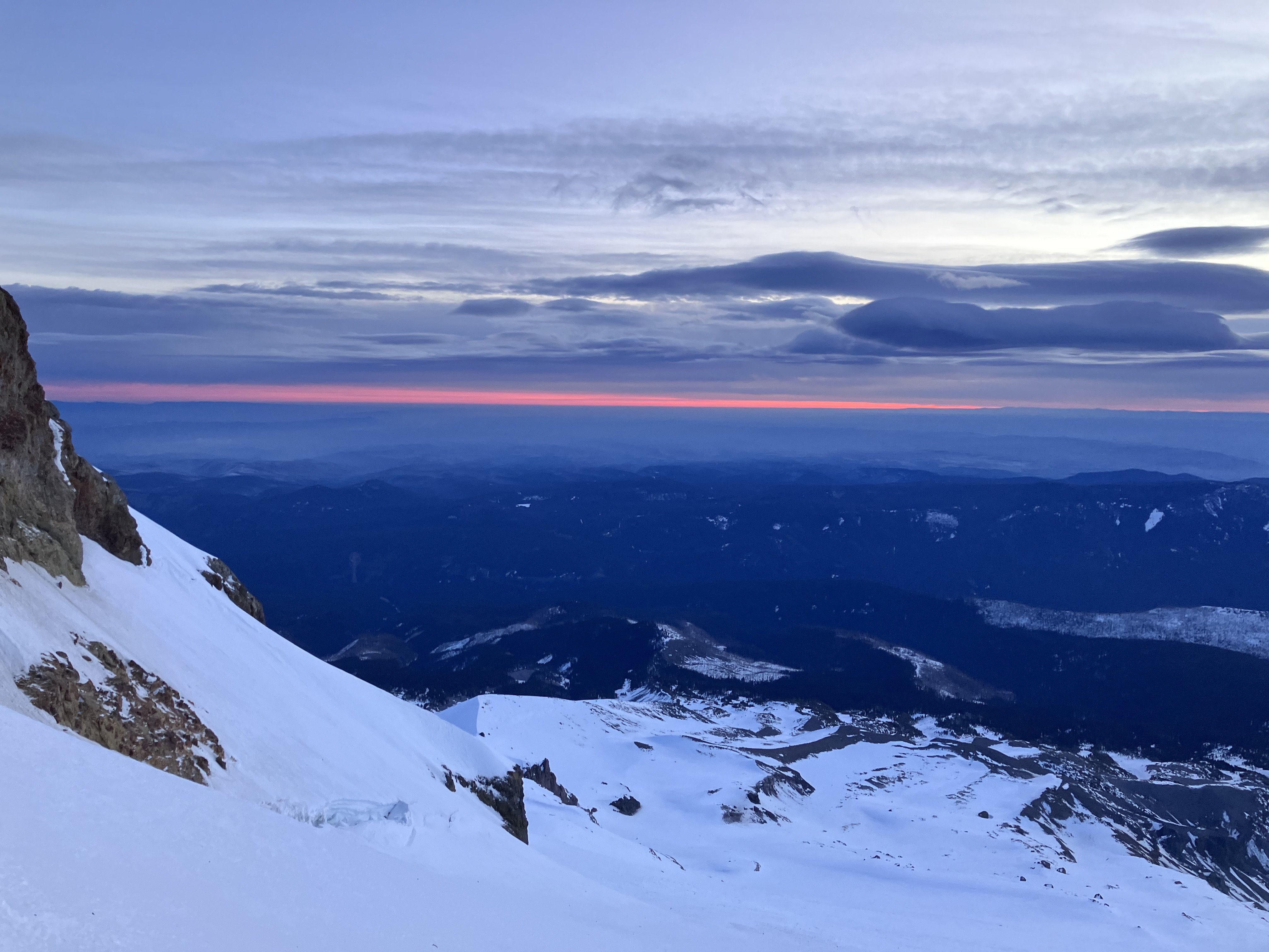
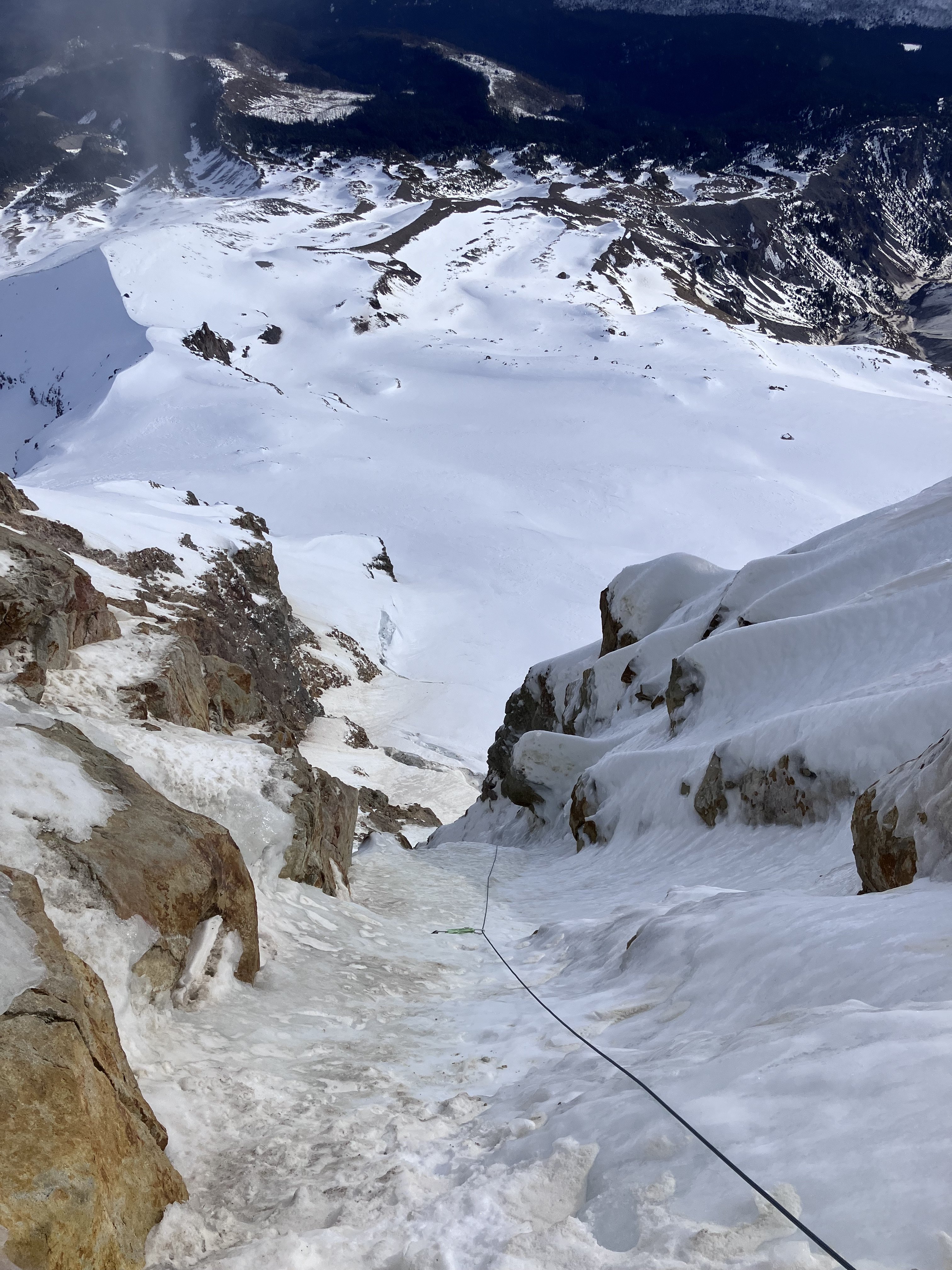
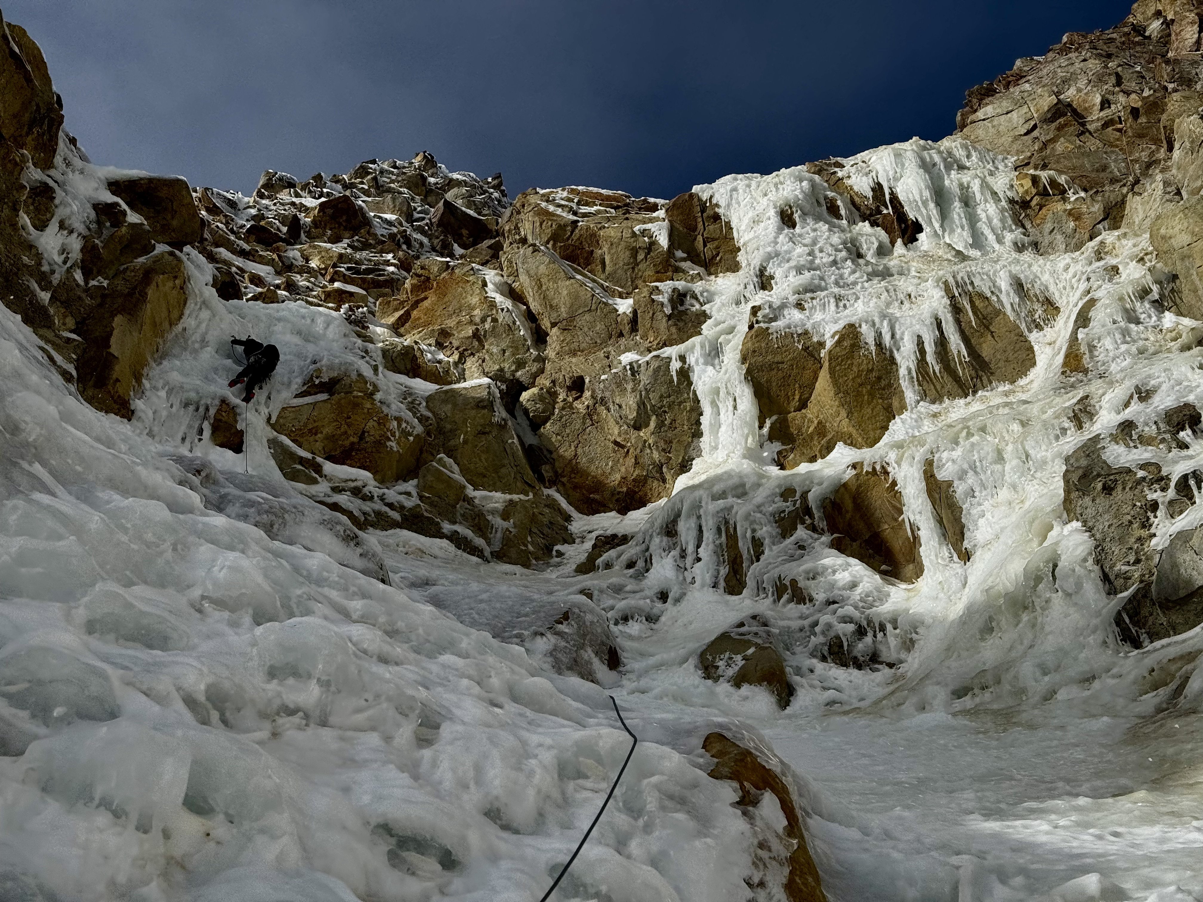
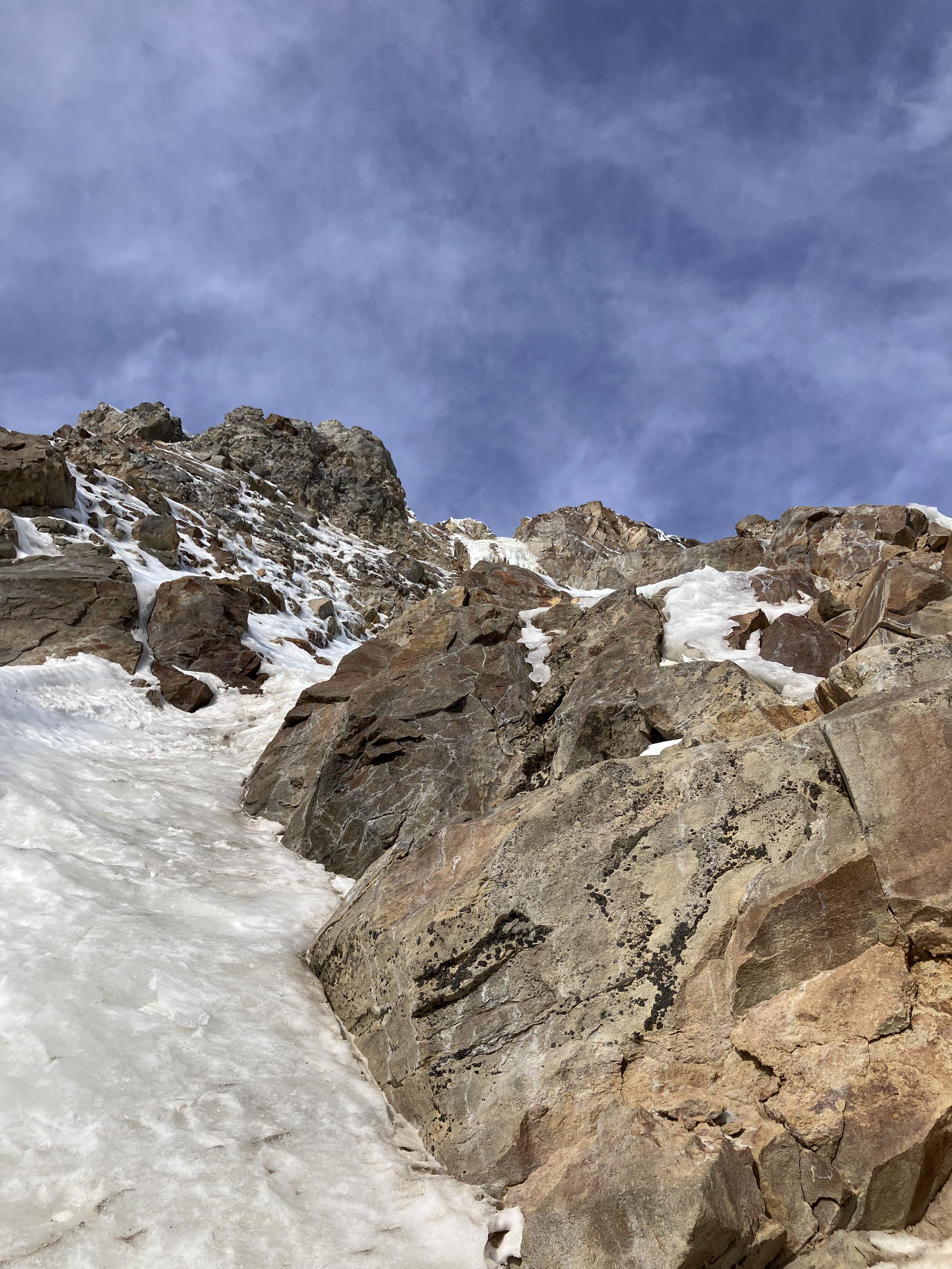
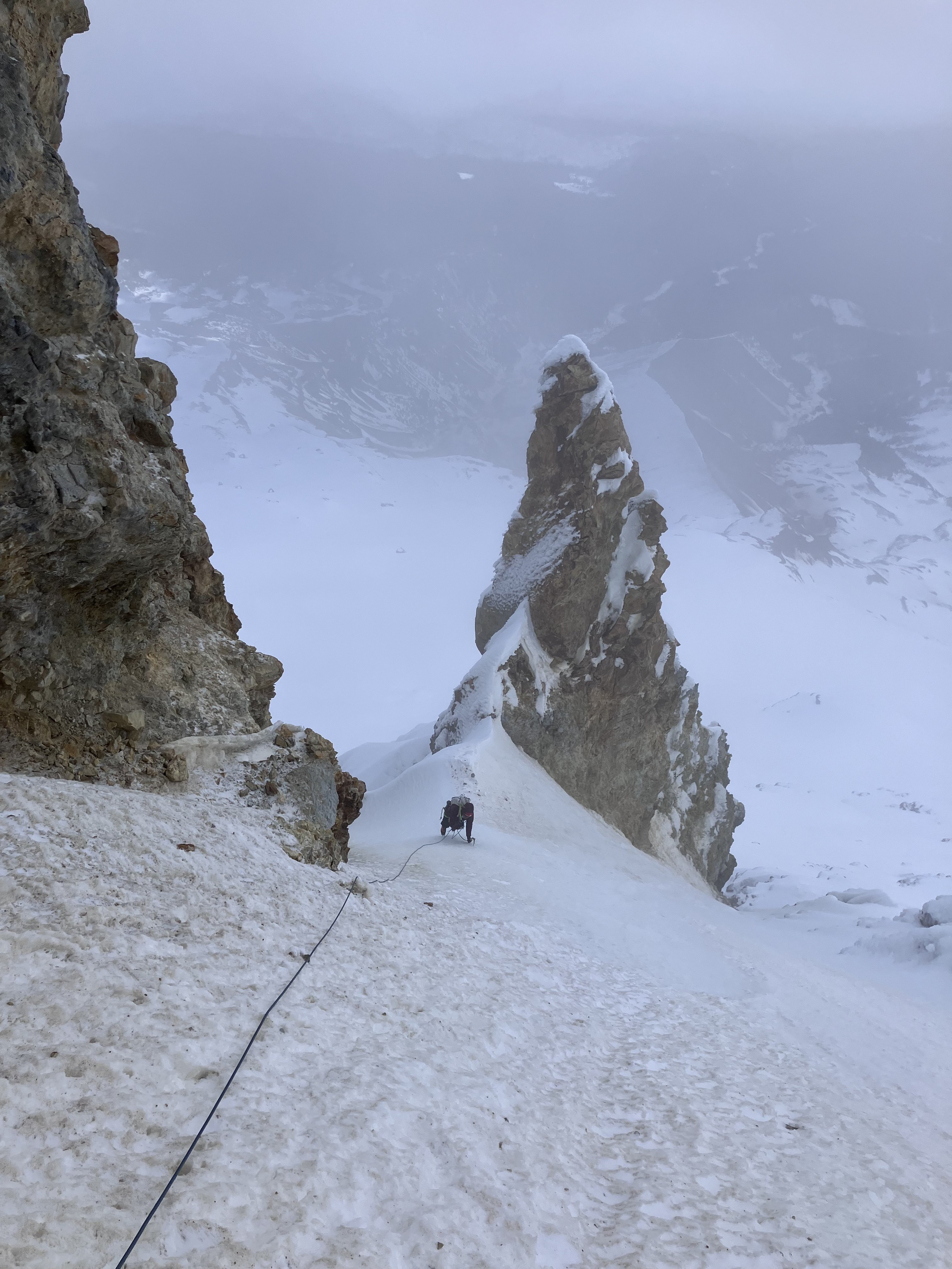
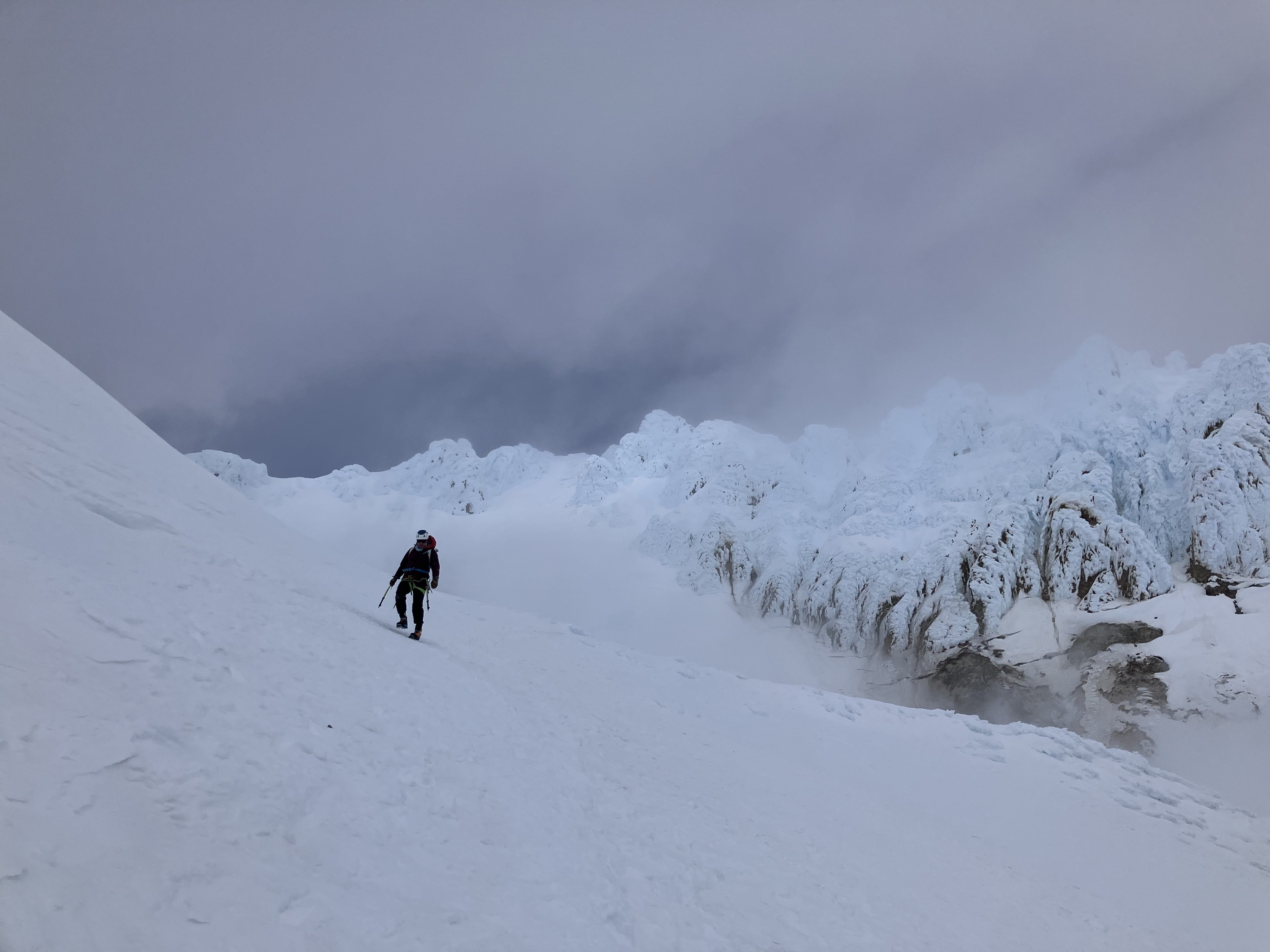
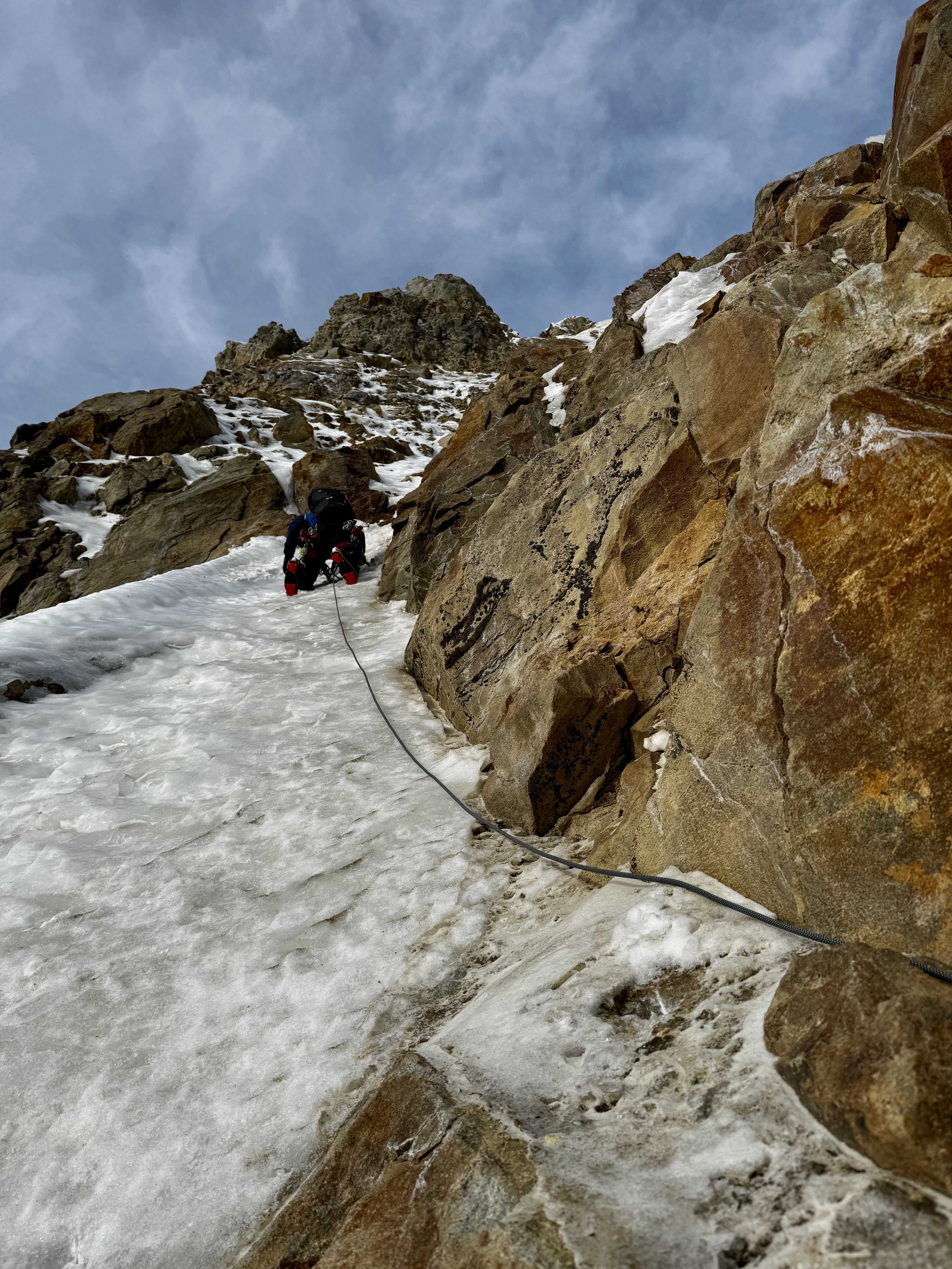
Trip: Black Spider on Wy'east - Arachnophobia Trip Date: 01/31/2026 Trip Report: Climbed Arachnophobia the other day. Good ice, a little brittle first thing. Snow is very icy which makes for some tiring front pointing. Not as sun baked as it might appear. Five long pitches does it. L side of schrund went easily. Thanks to G for being a great partner, and Kyle and Matt for going up the route first so I didn't need to leave the family just to have a look-see. Pictures... Luckily sunrise had some cloud cover. Starting up the ice-looking bits, after some snow-looking bits that were still icy Snow-looking icy bits on P2 Starting up P2 Leading P3 Looking down P3 Coming up to the final belay at a rock anchor Descending S Side Hoping we get some snow this winter. But while we wait the sticks are quite good. If you need more beta, please feel free to DM me. -Sam Gear Notes: Single rock rack (small cams and nuts useful, nothing bigger than 0.5), pins, 10 screws Approach Notes: S Side and traverse over White River and around.
 1 point