Leaderboard
Popular Content
Showing content with the highest reputation on 08/30/22 in all areas
-
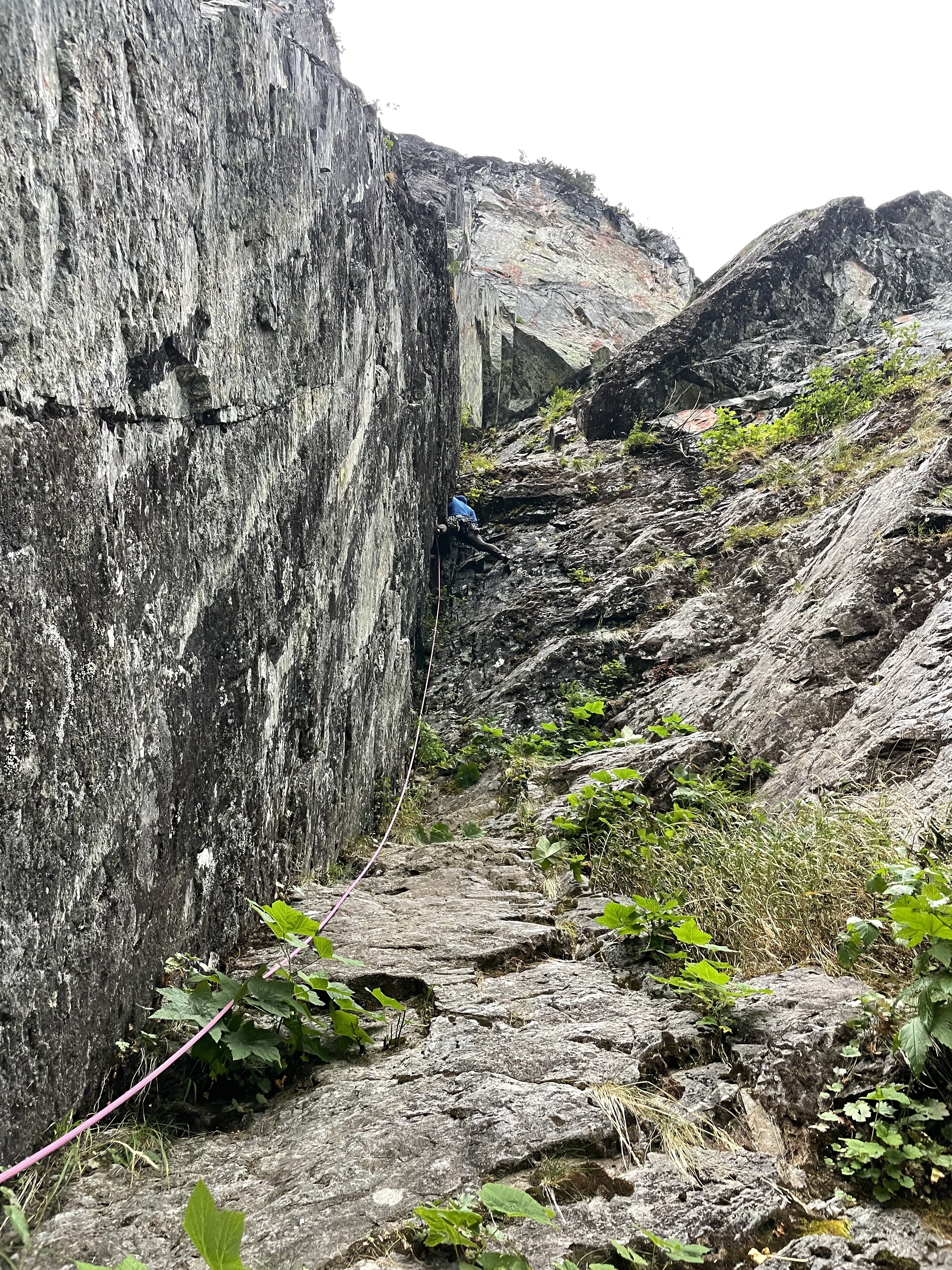
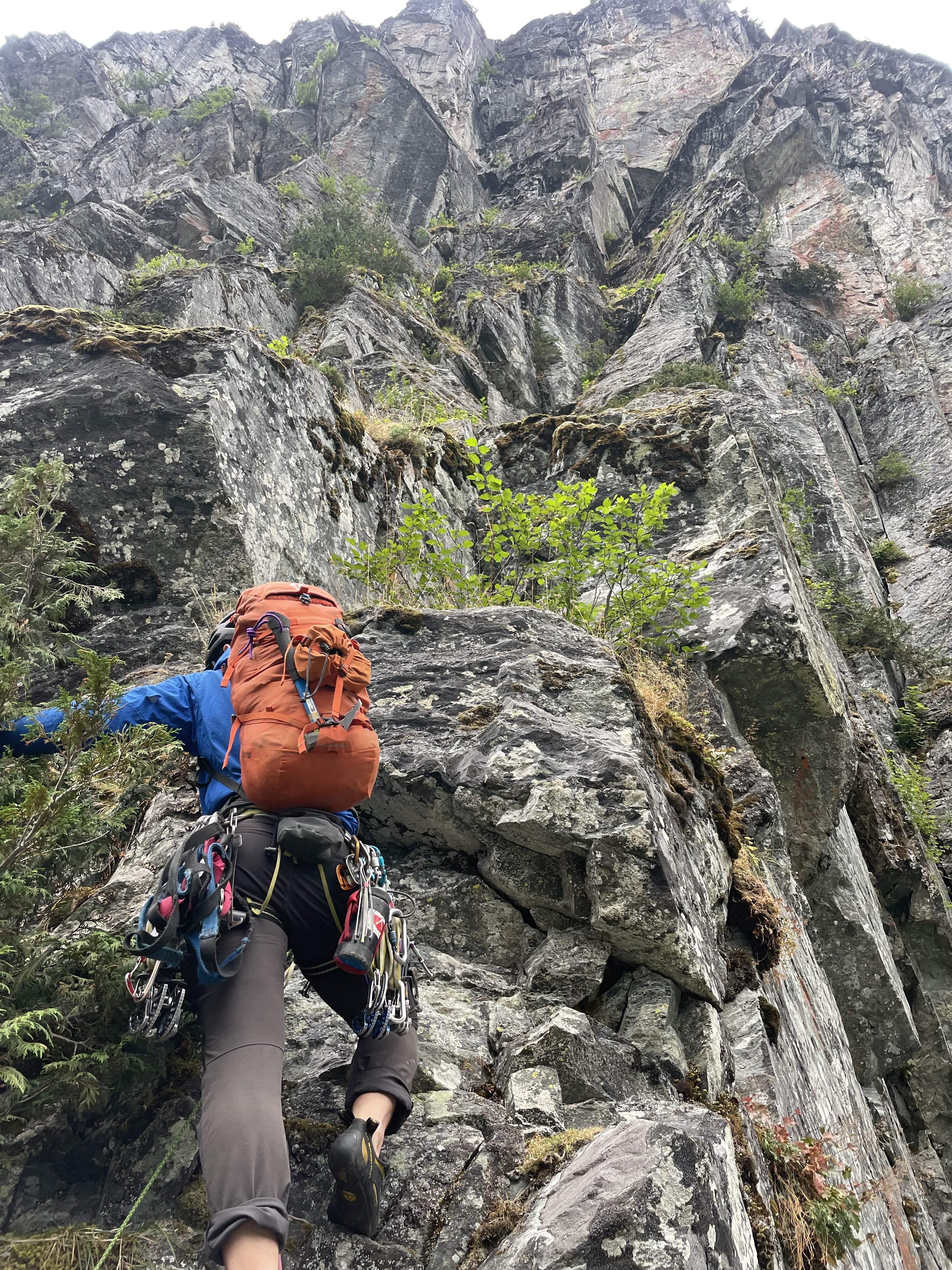
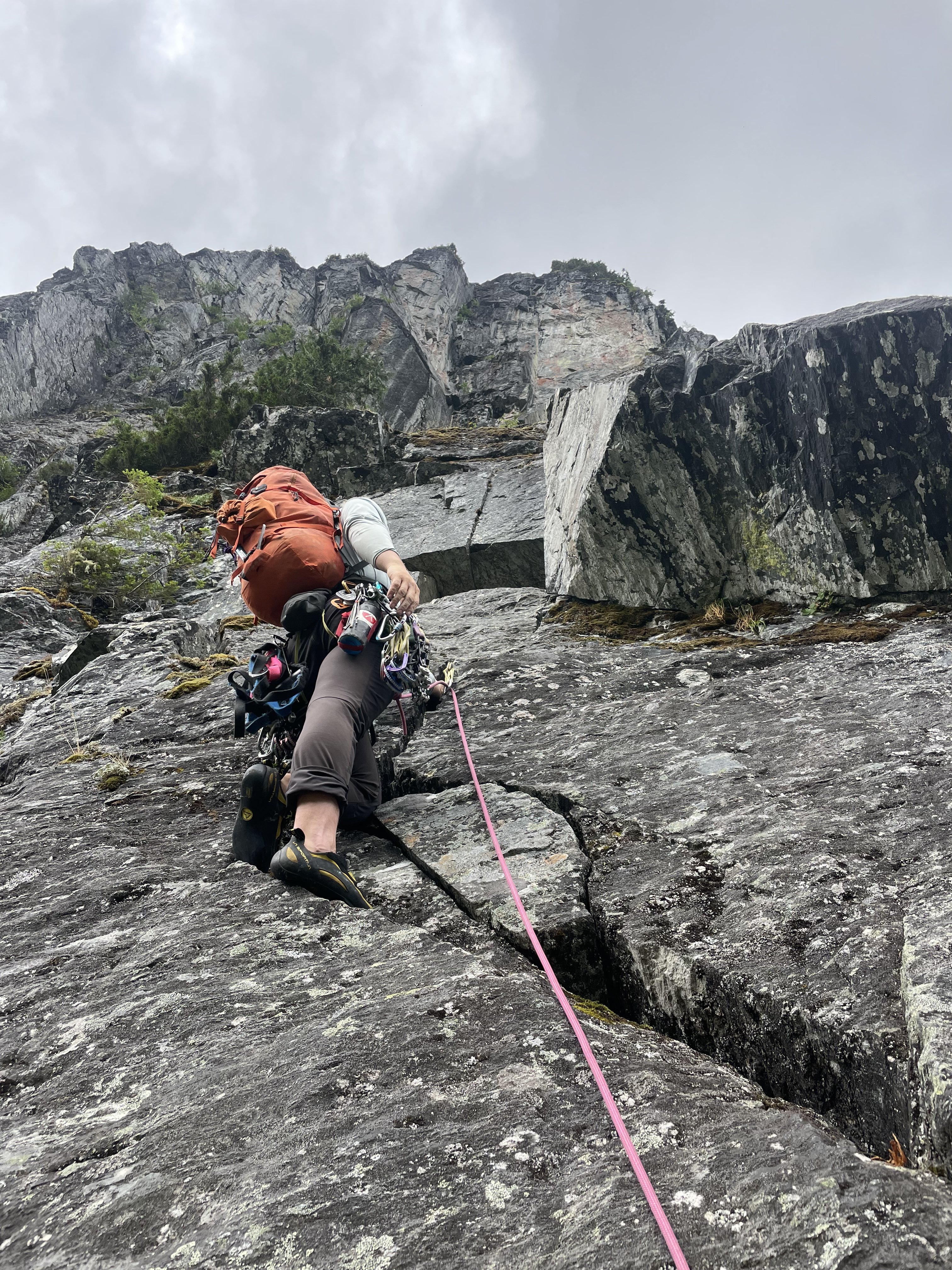
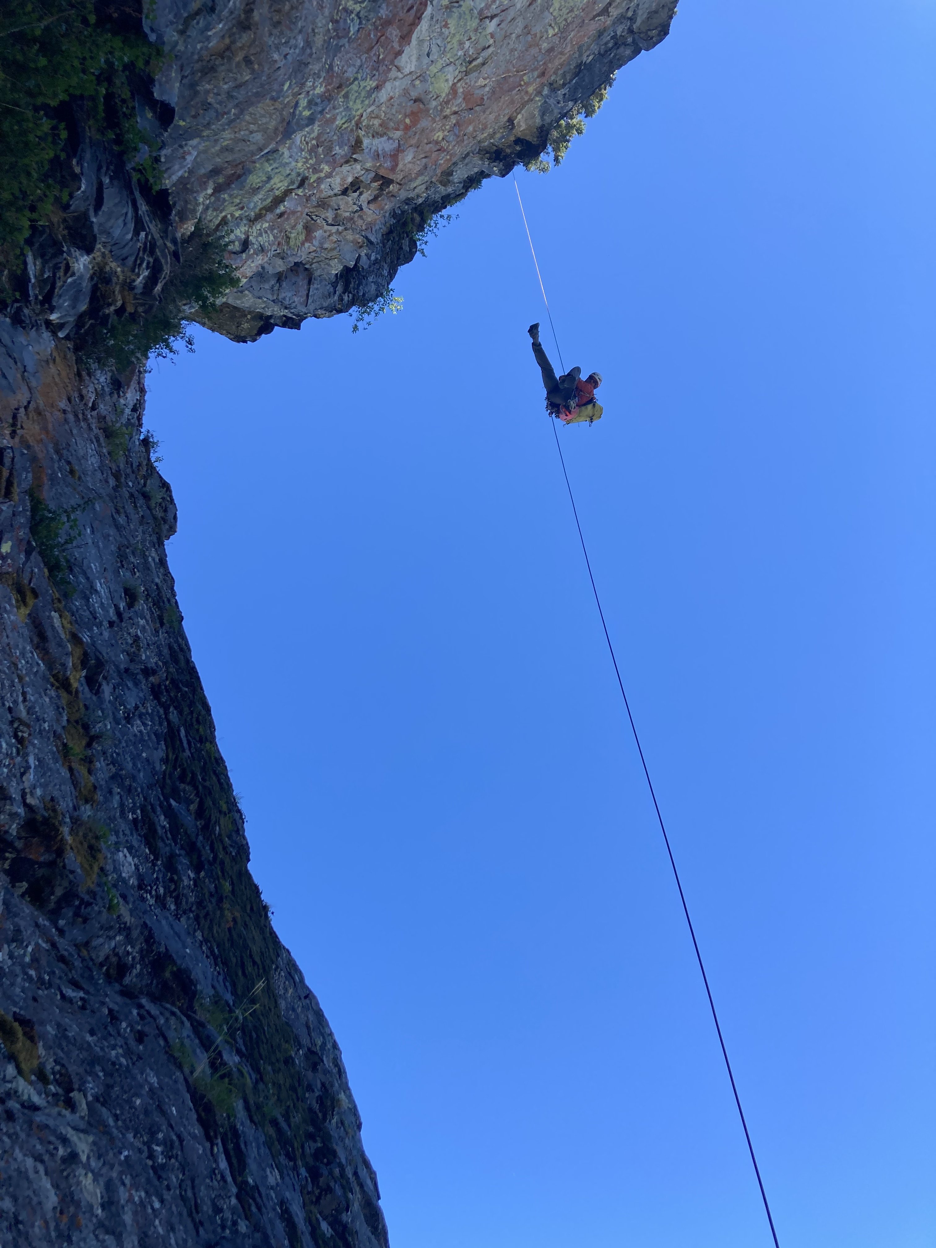
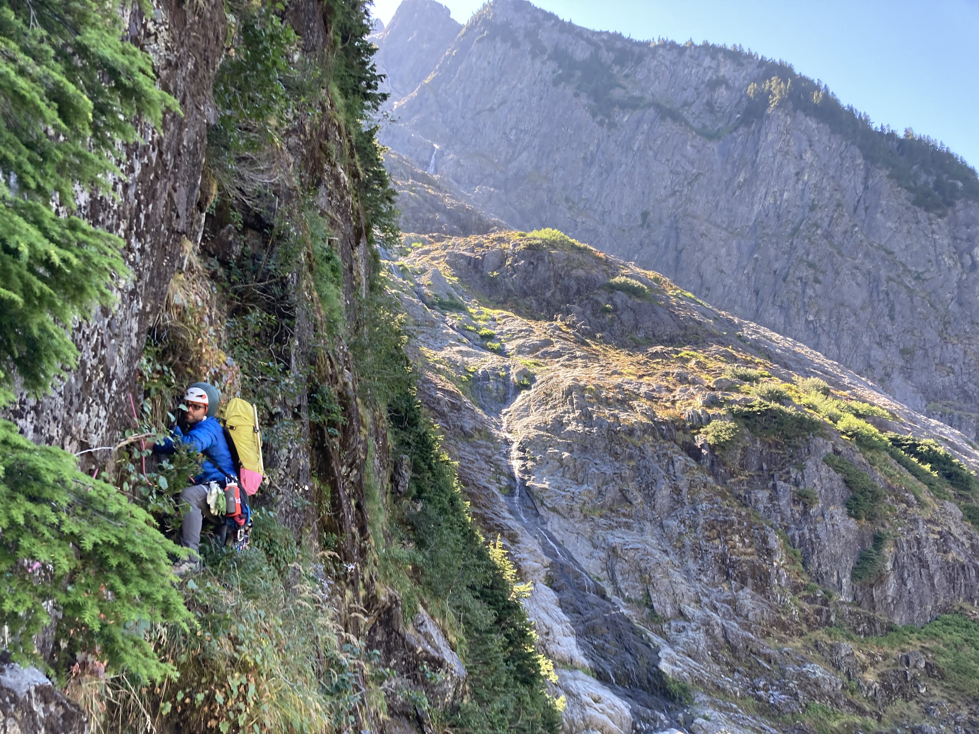
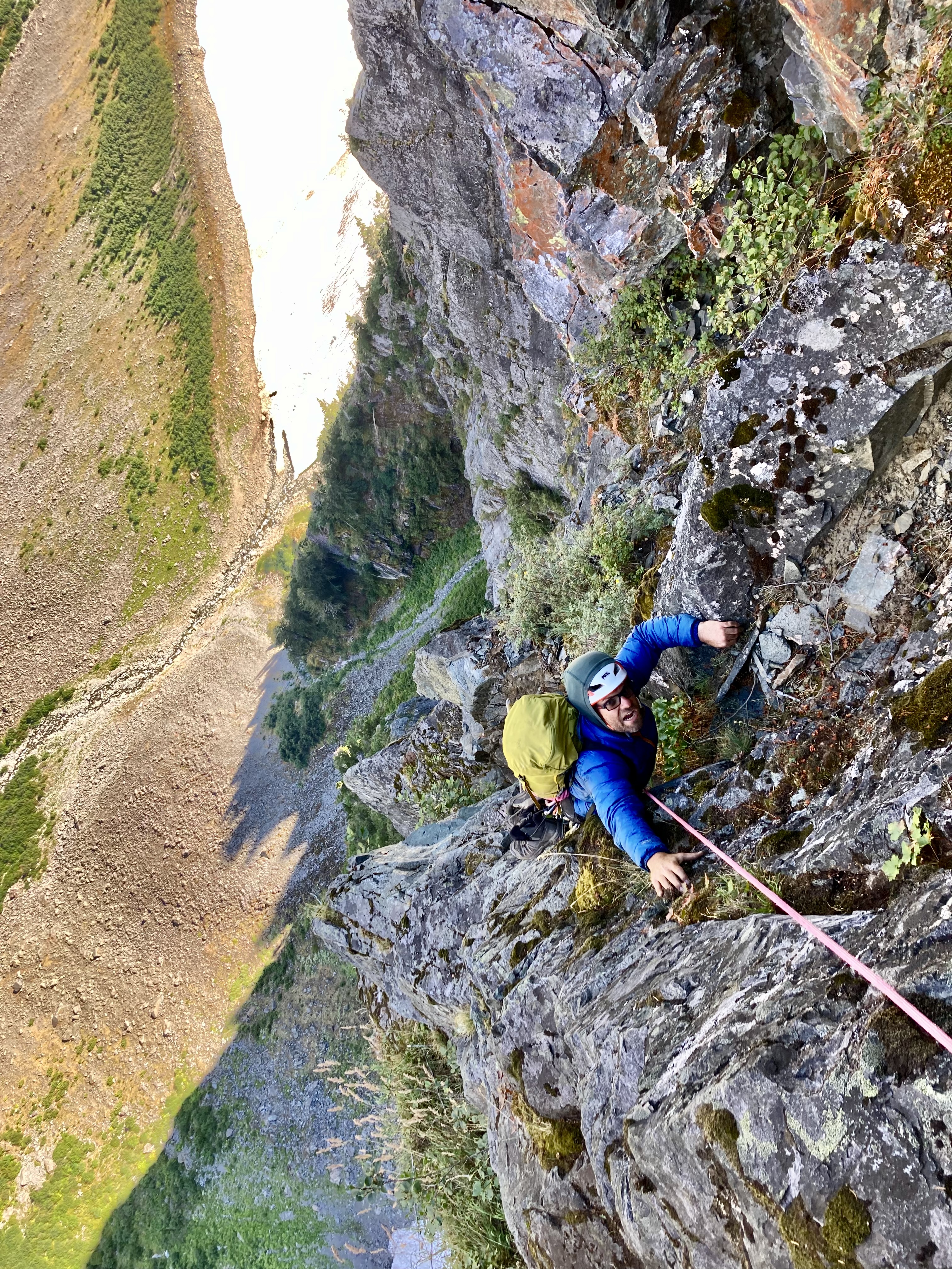
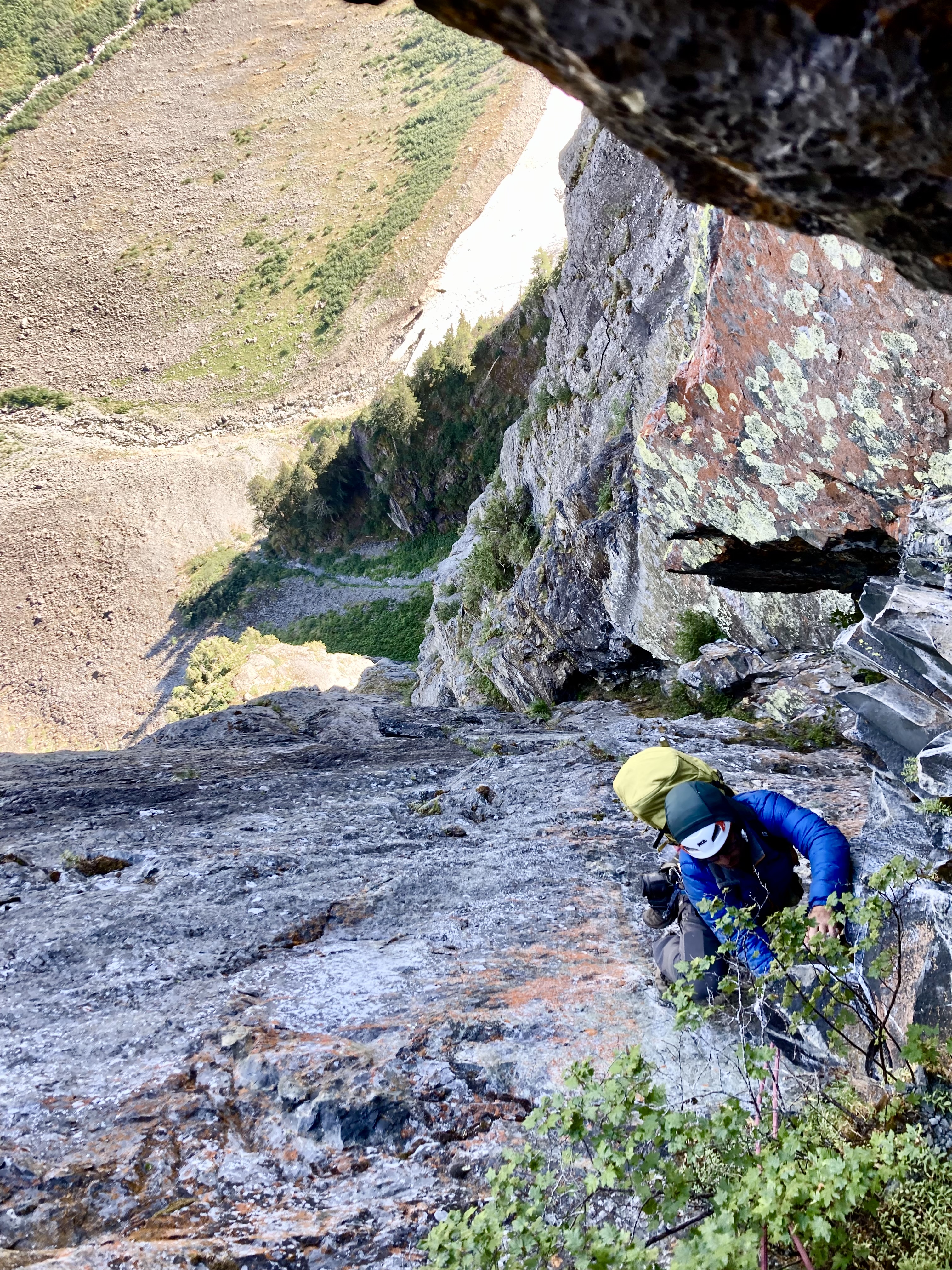
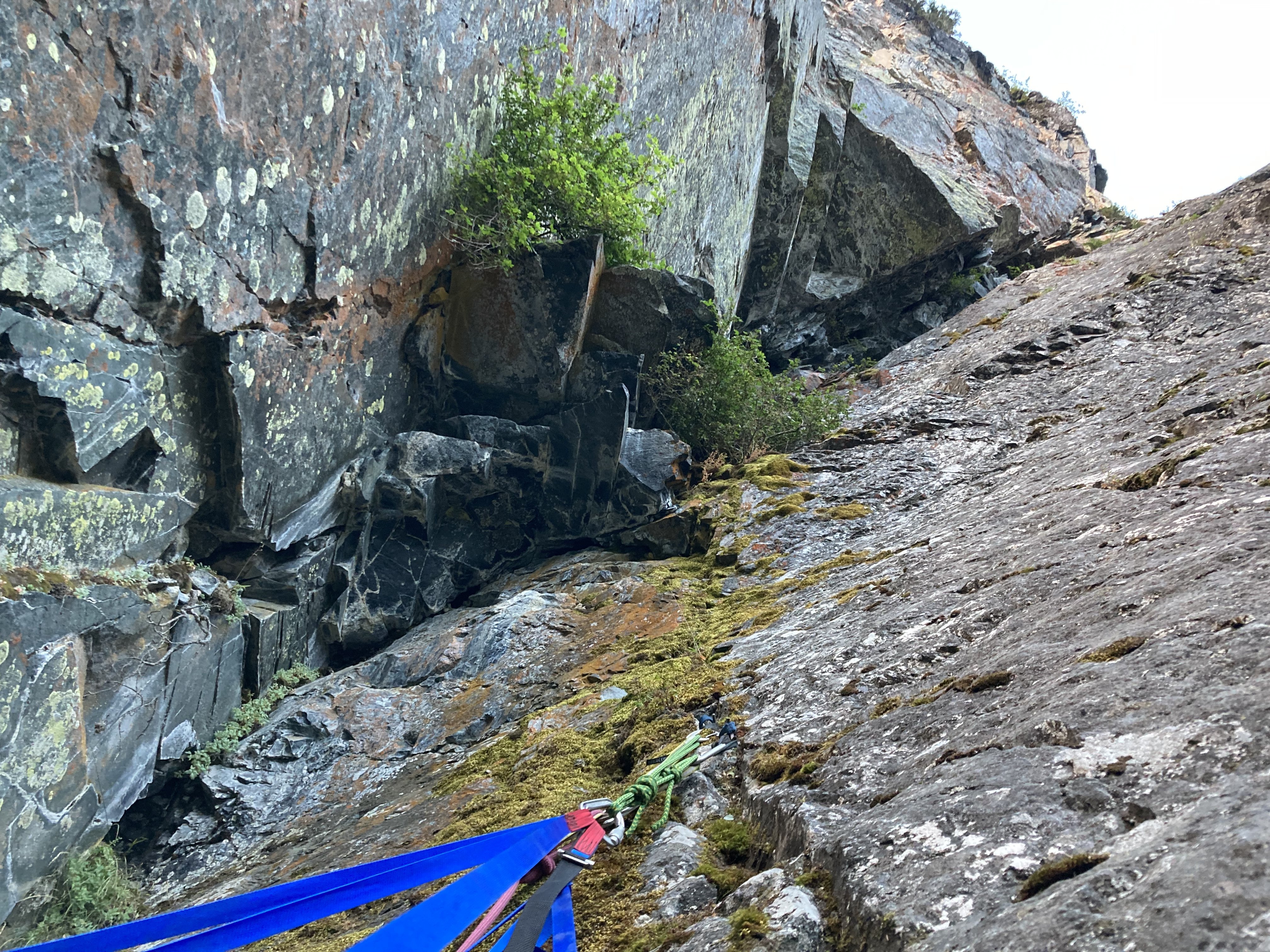
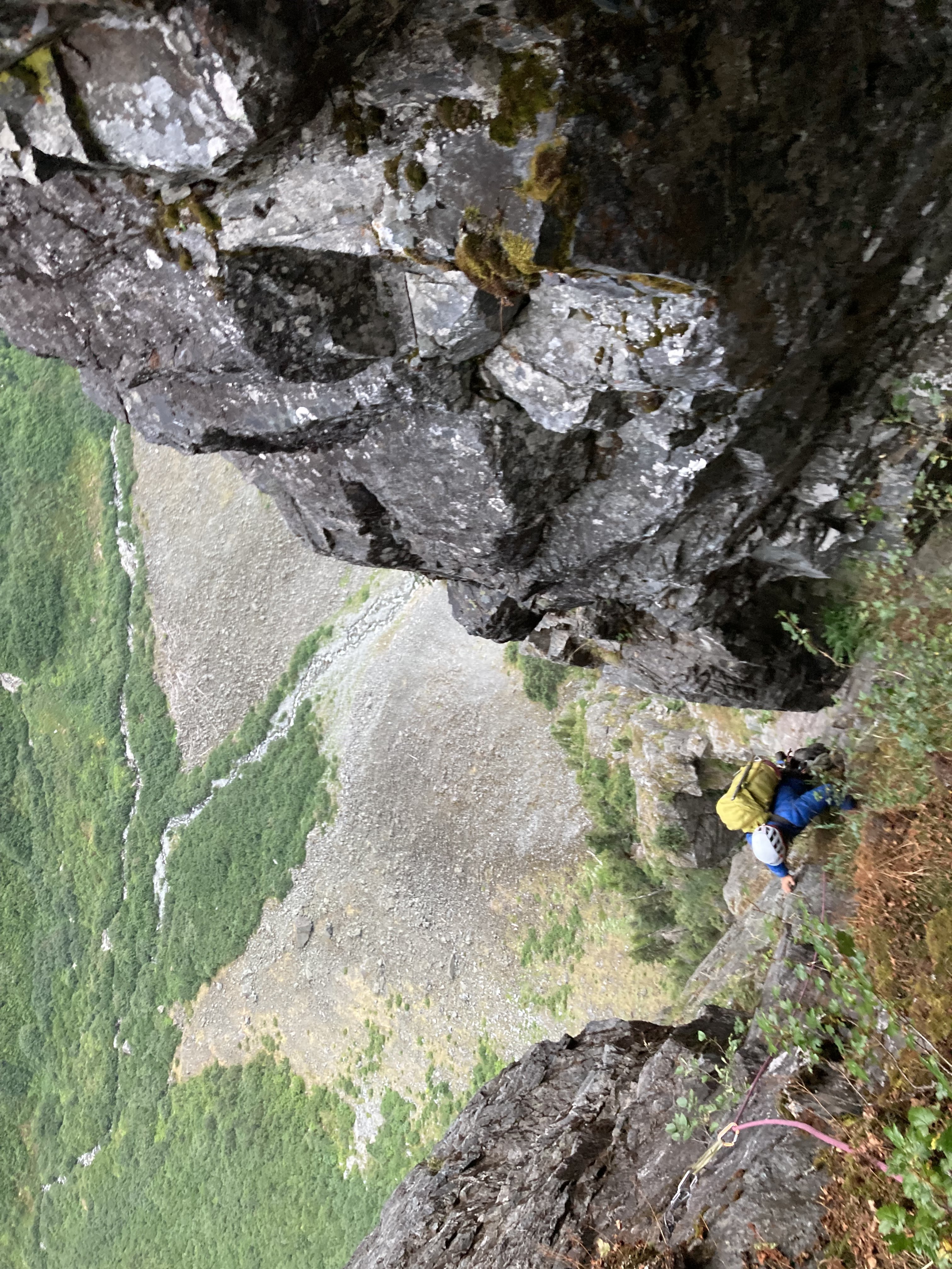
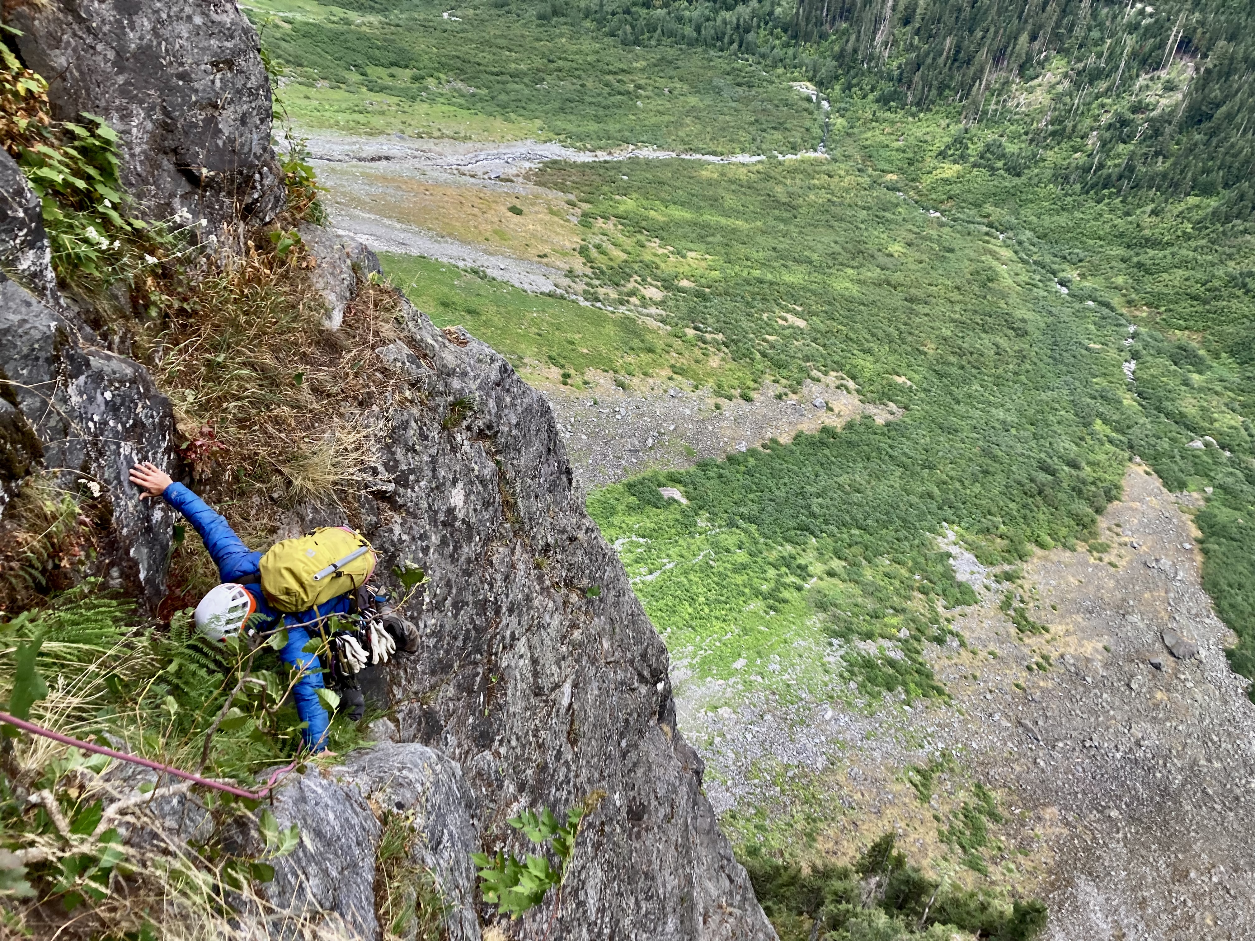
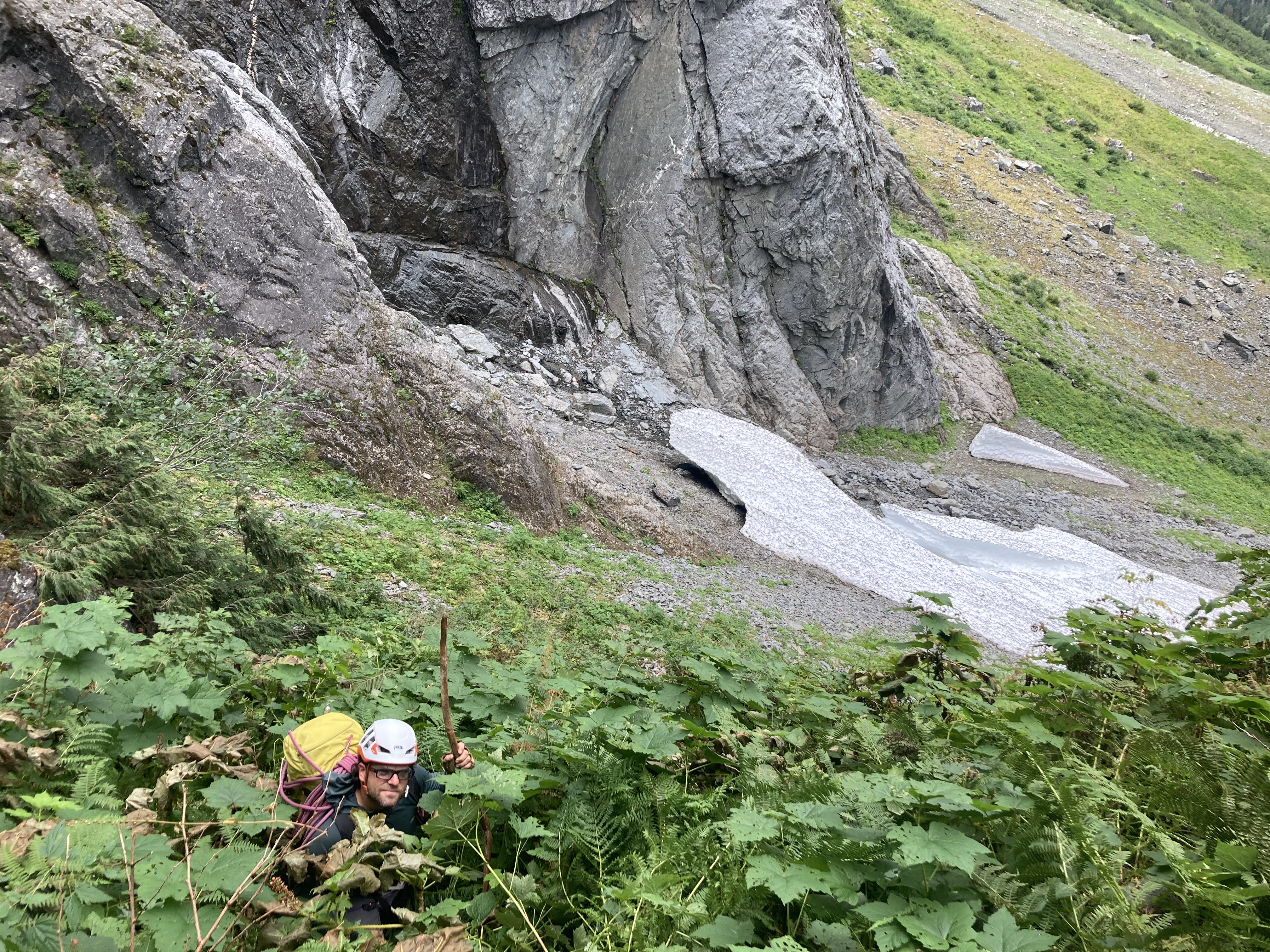
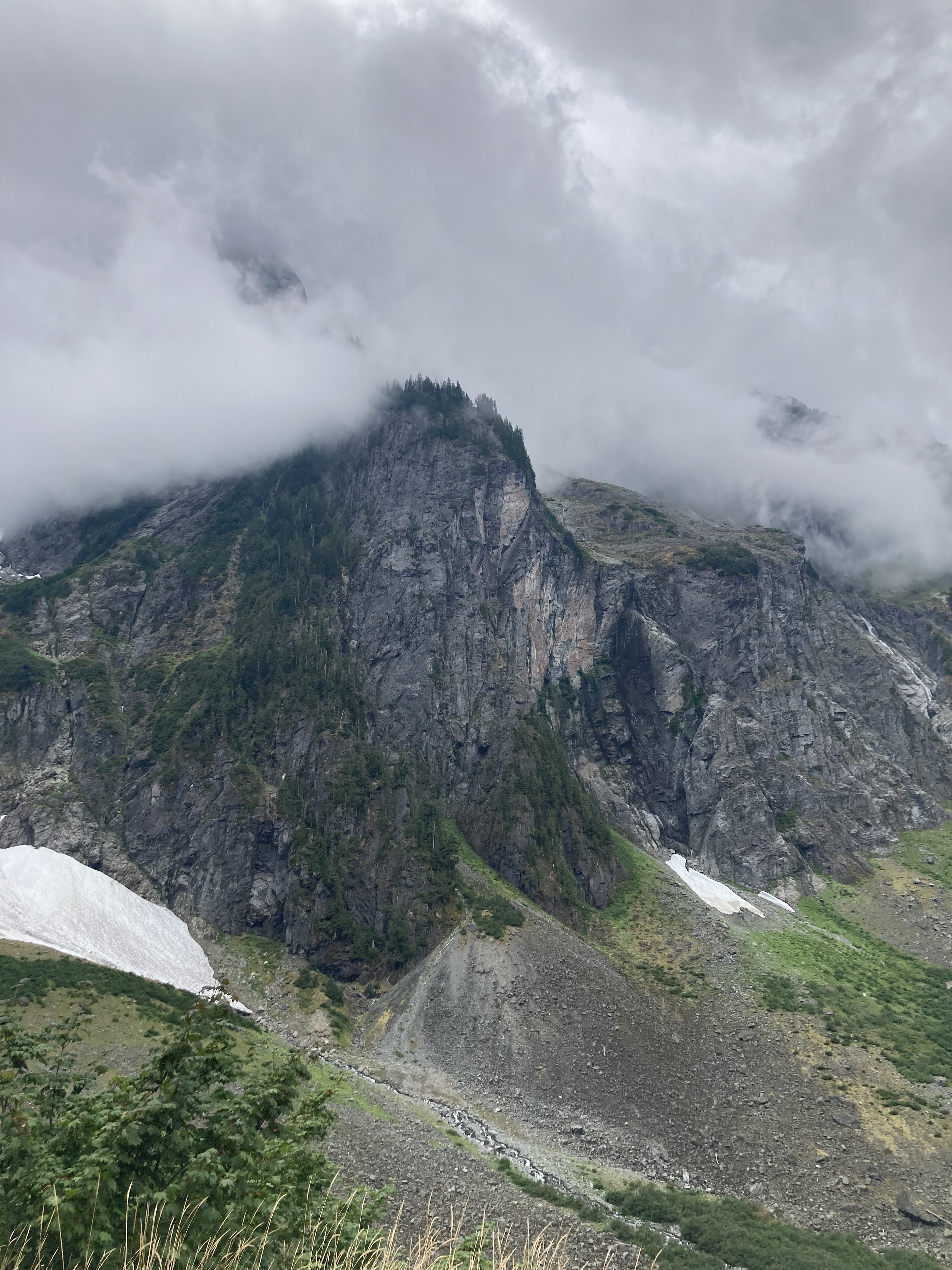
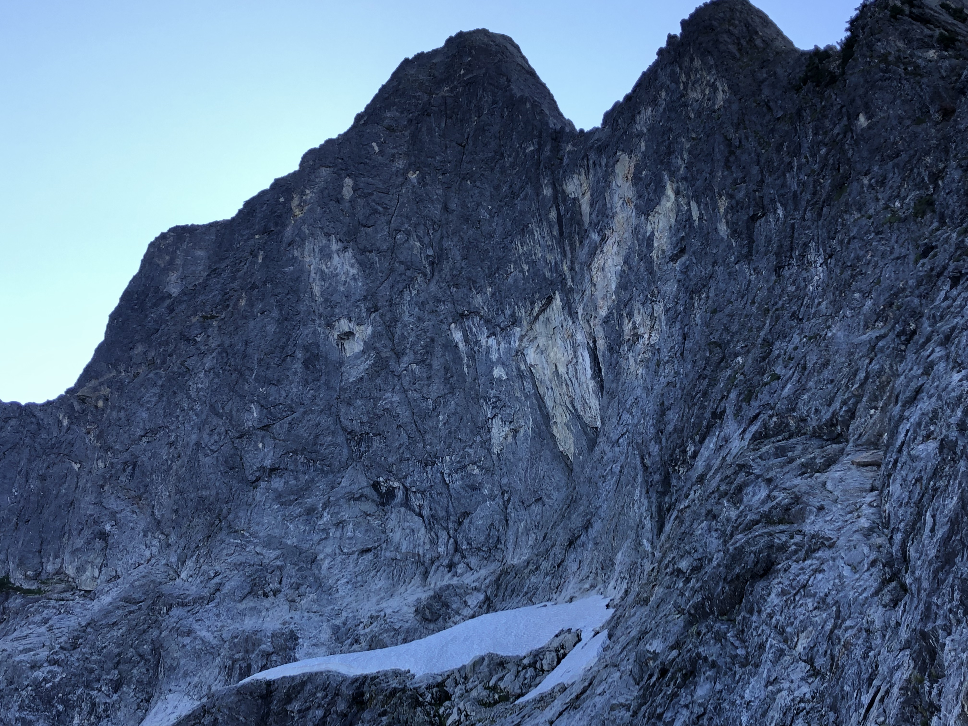
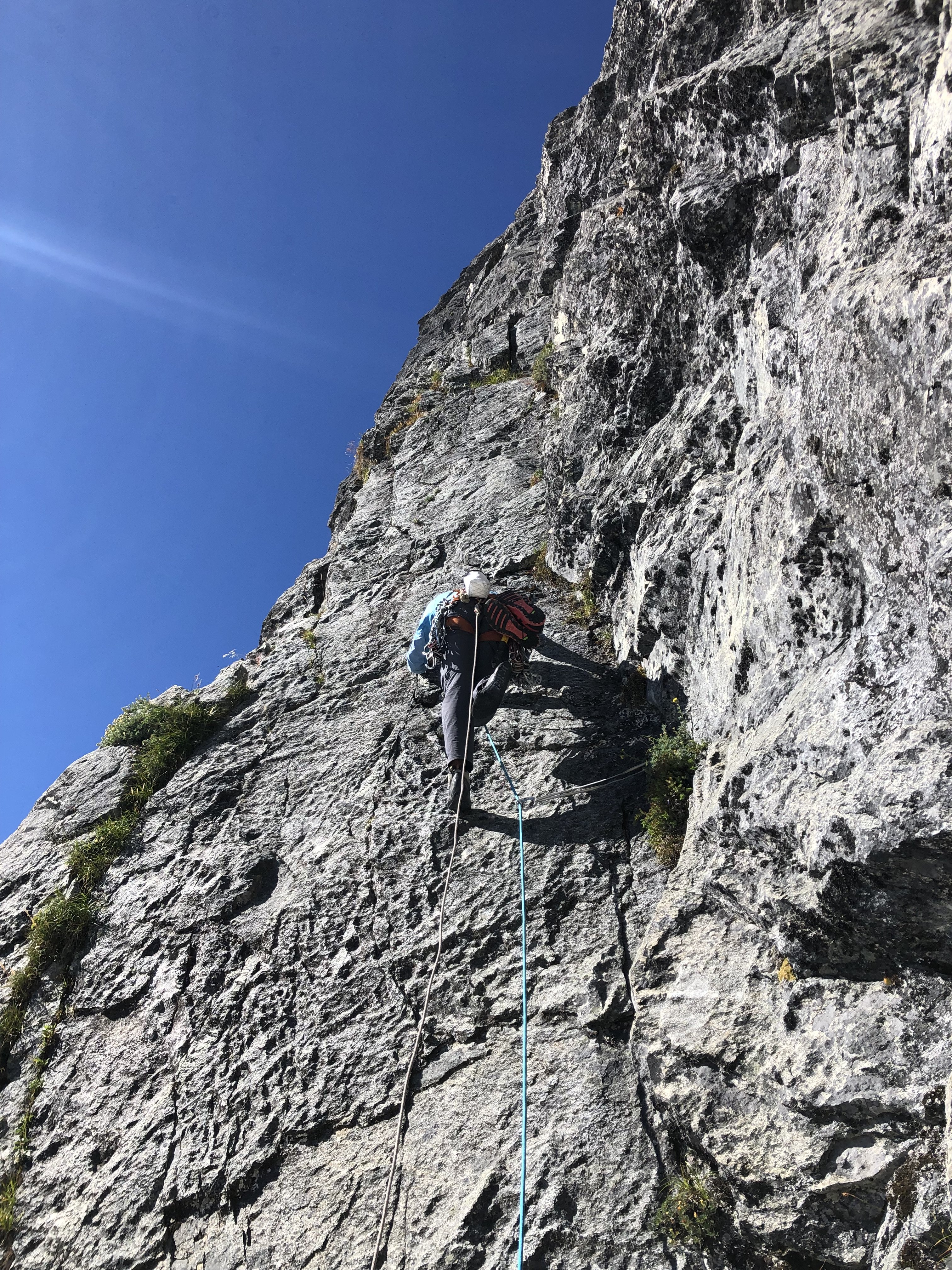
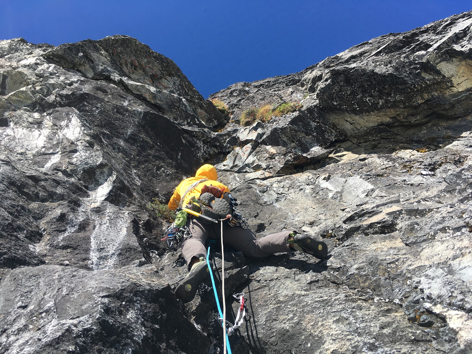
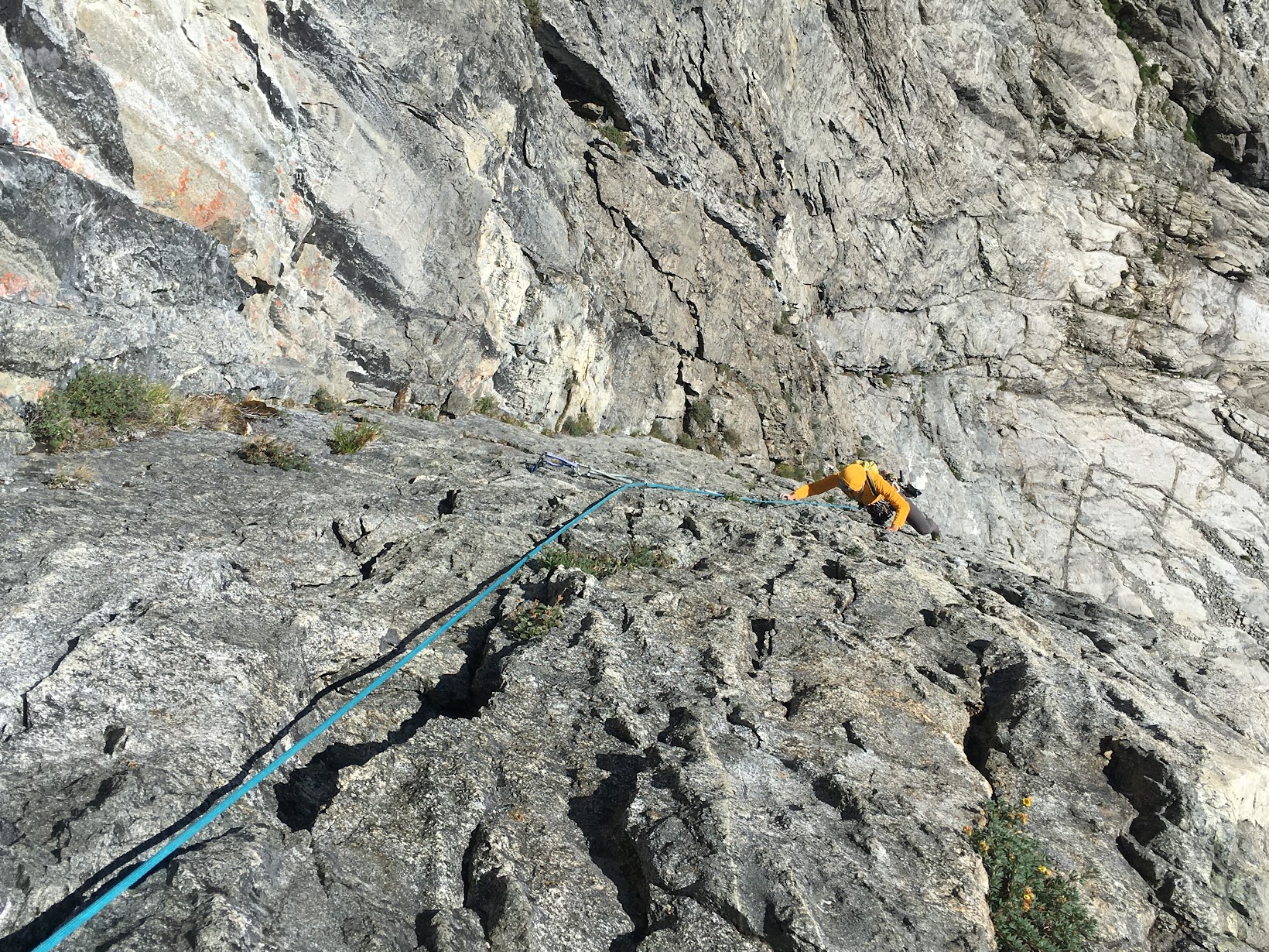
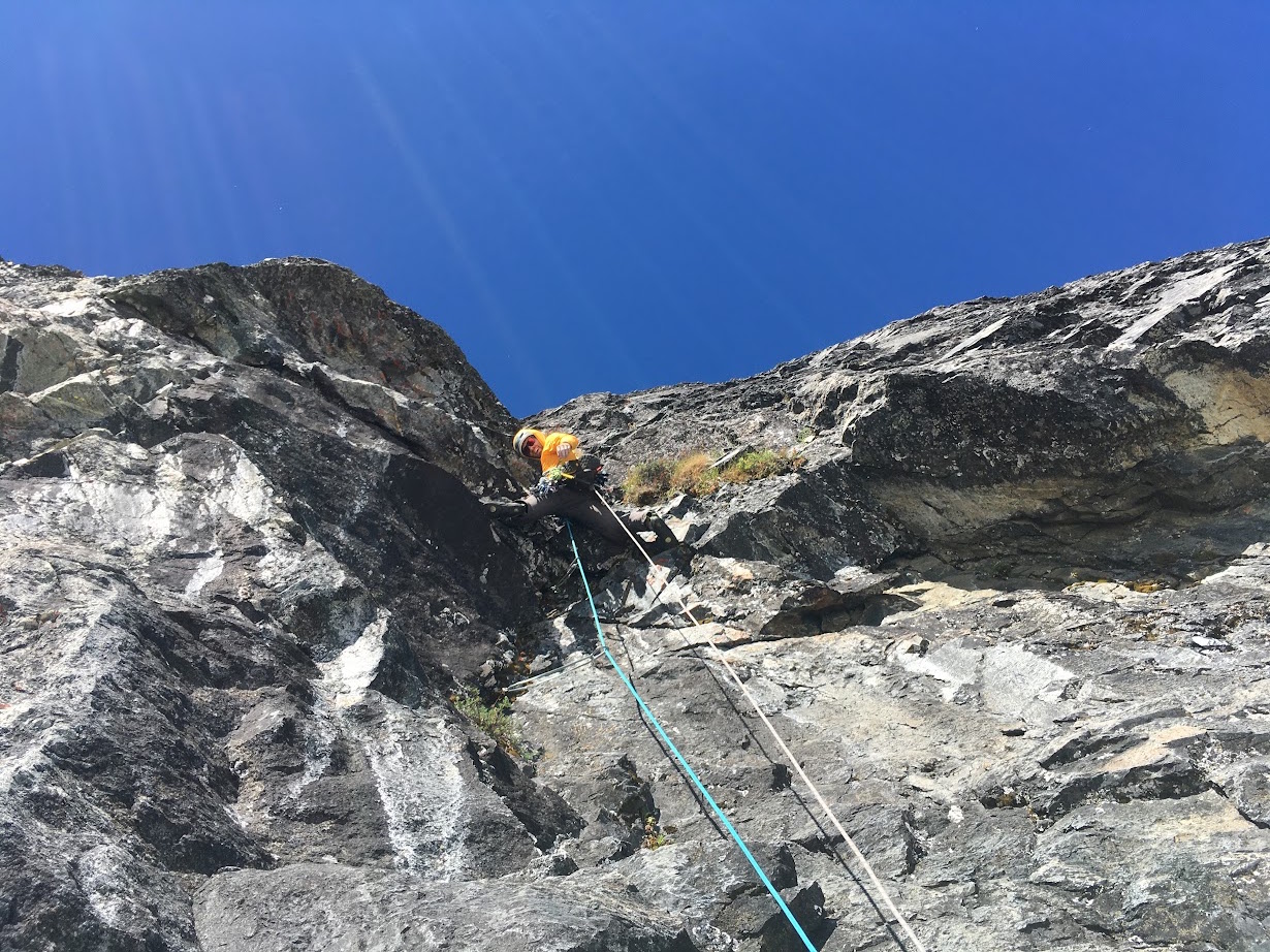
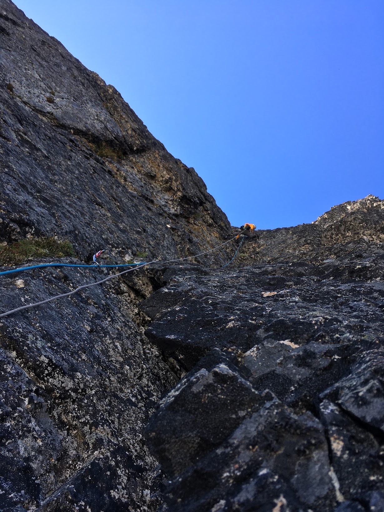
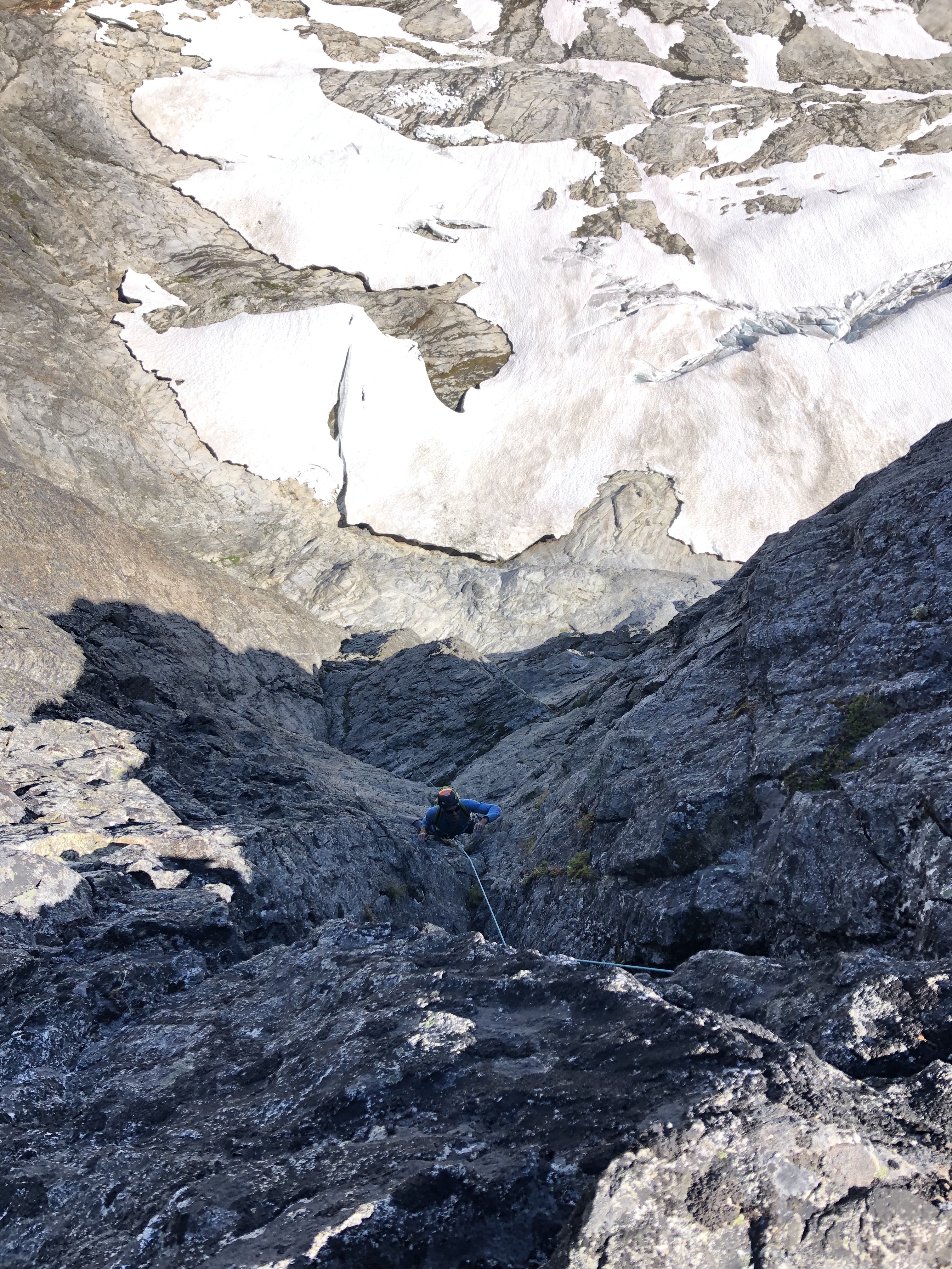
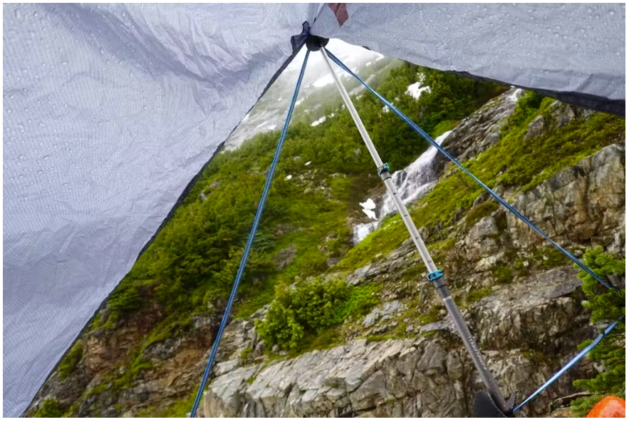
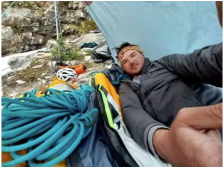
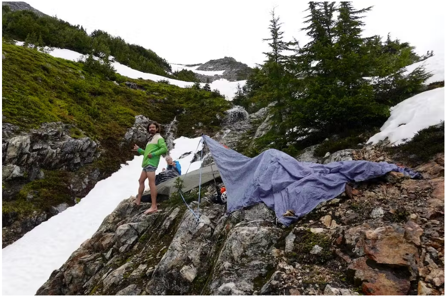
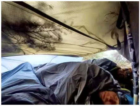
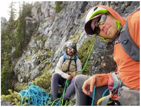
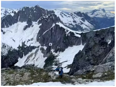
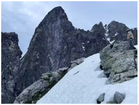
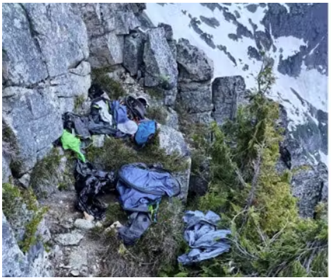
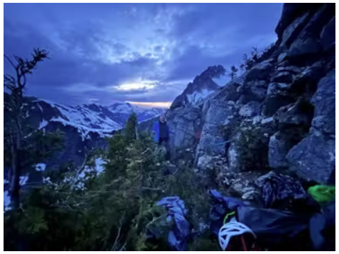
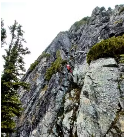
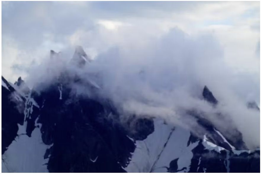
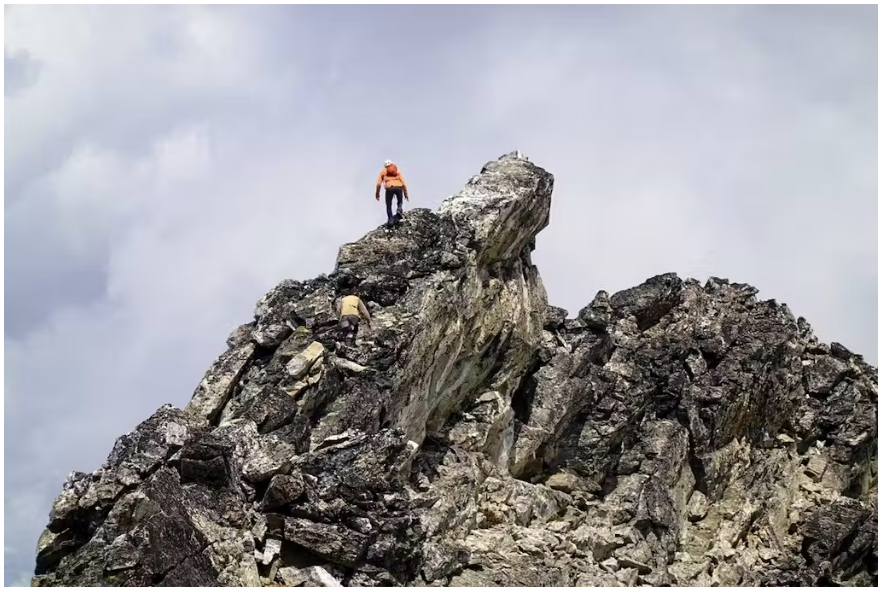
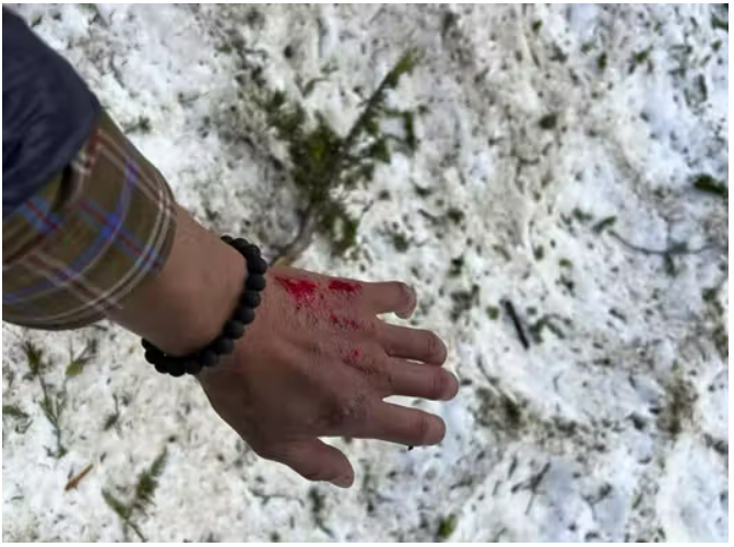
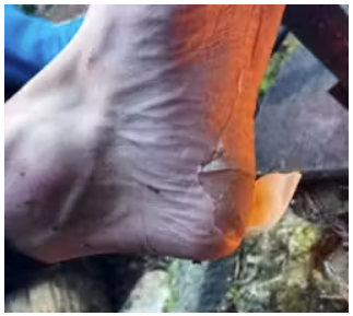
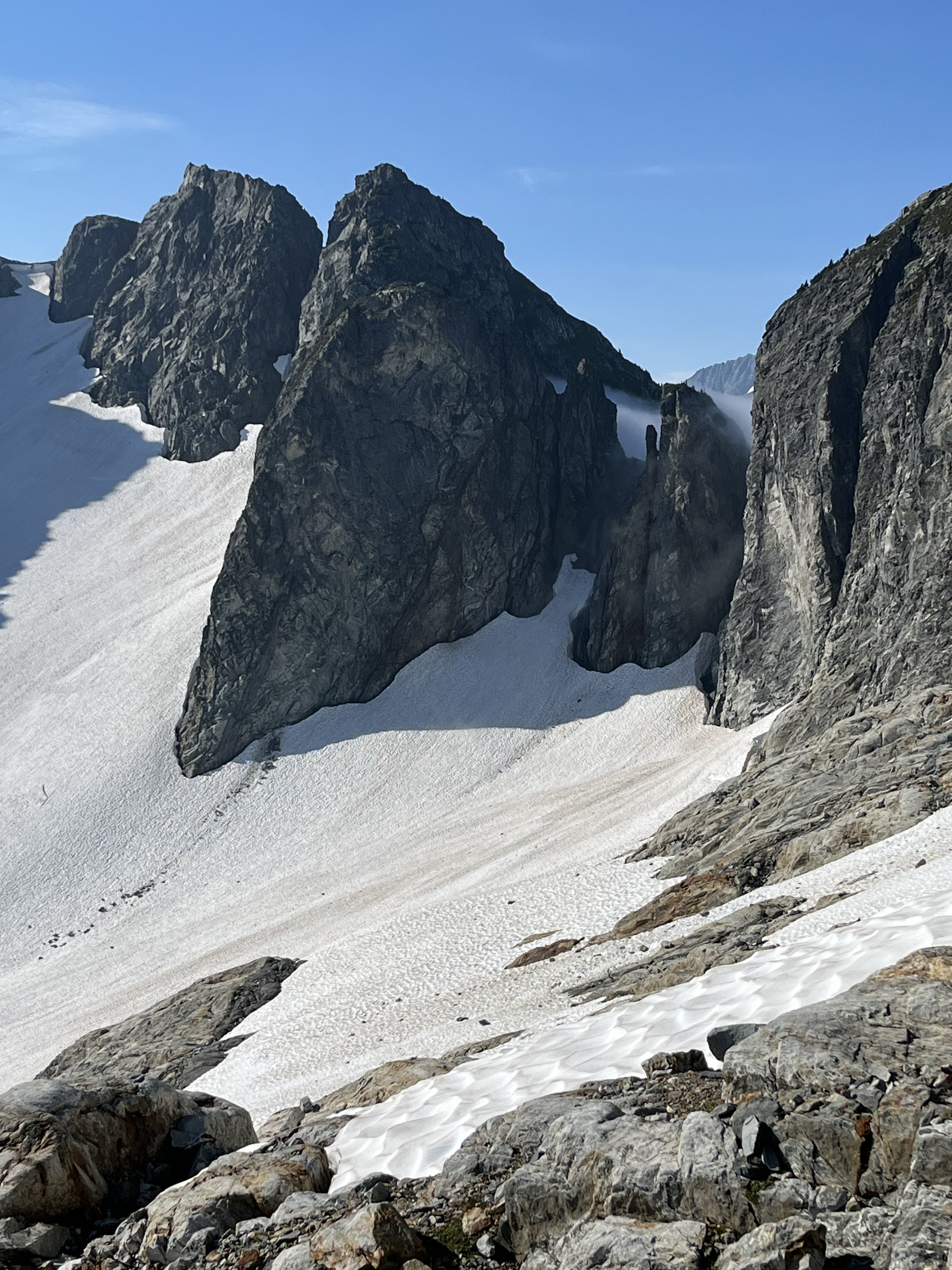
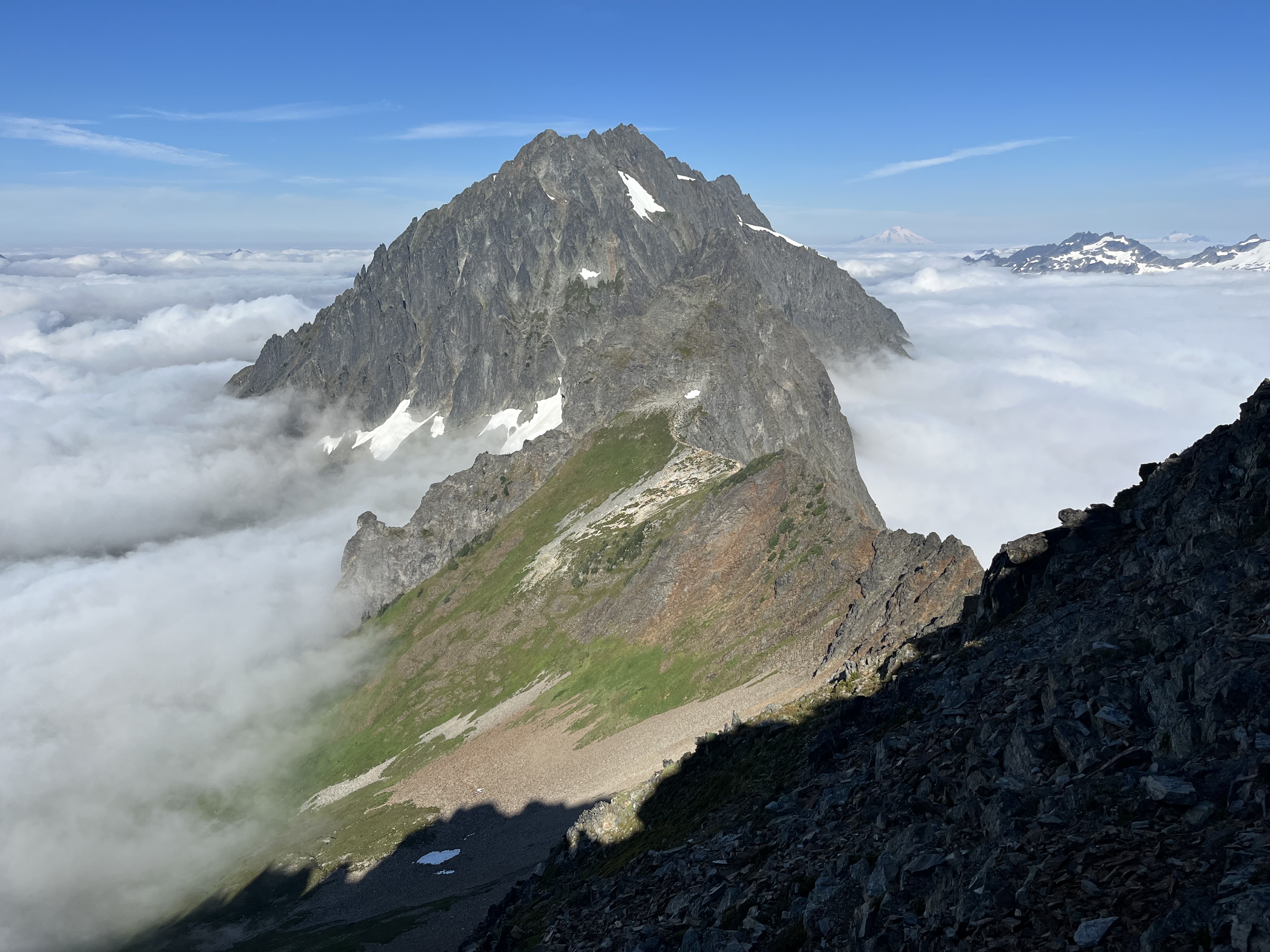
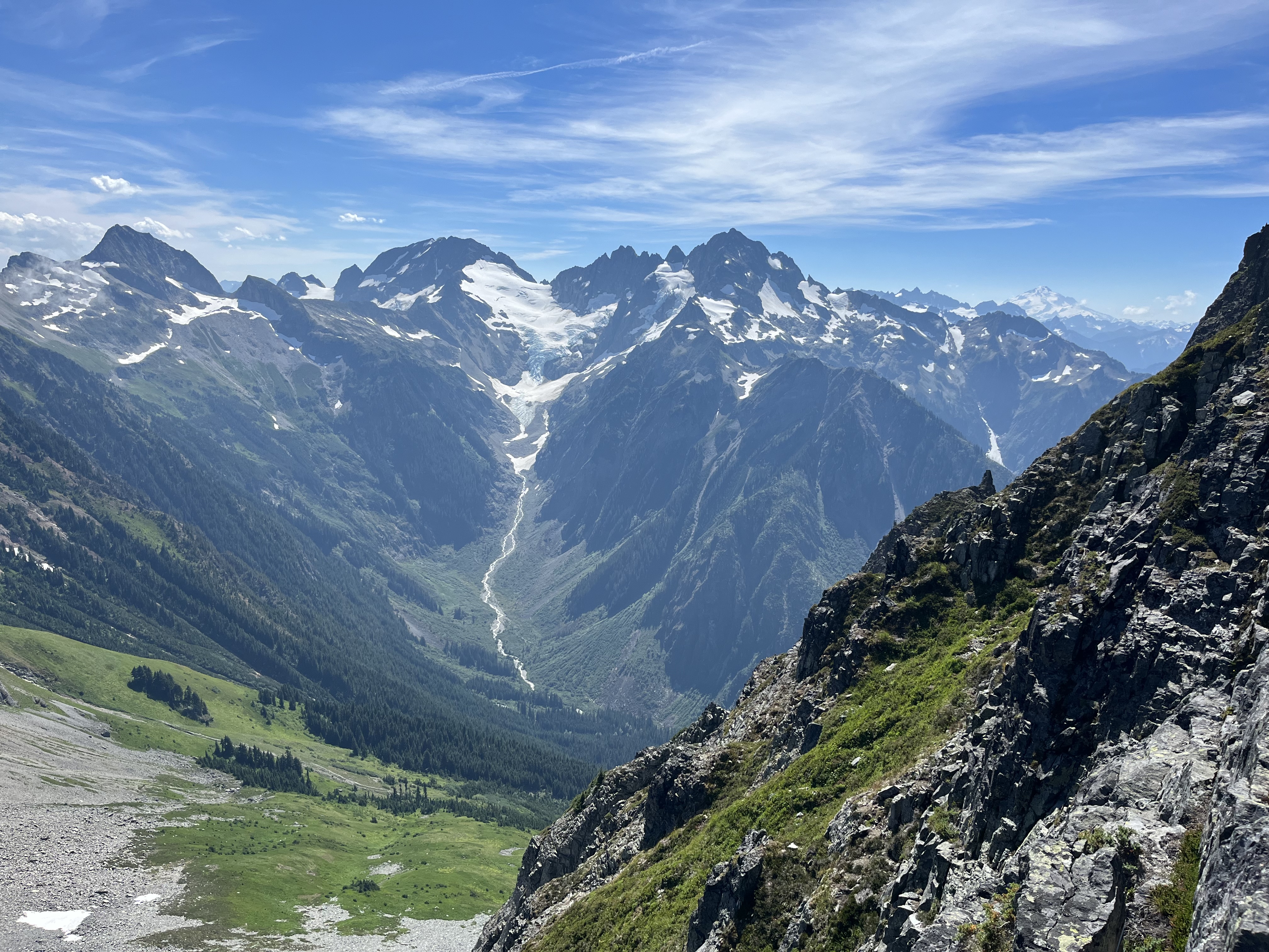
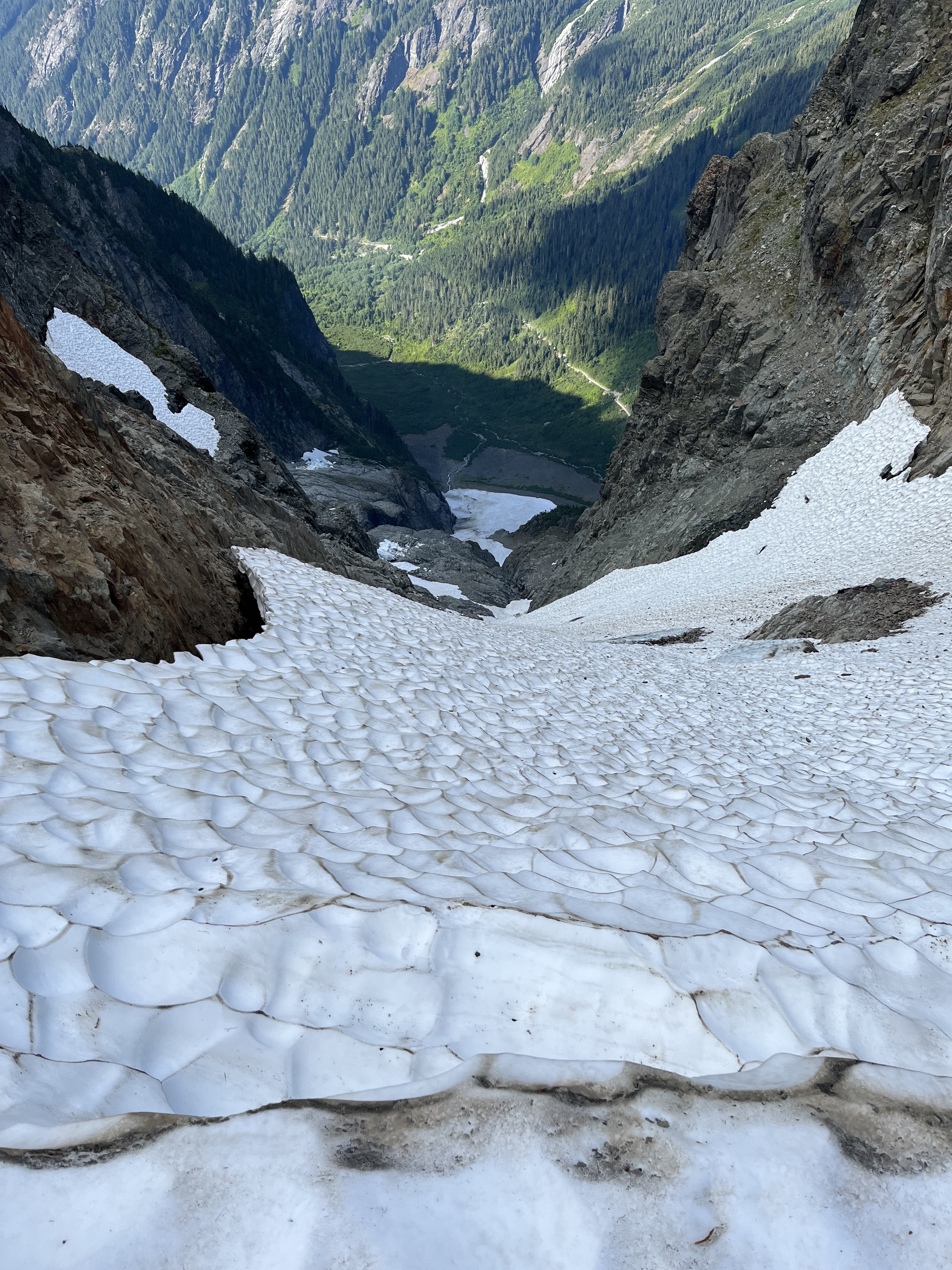
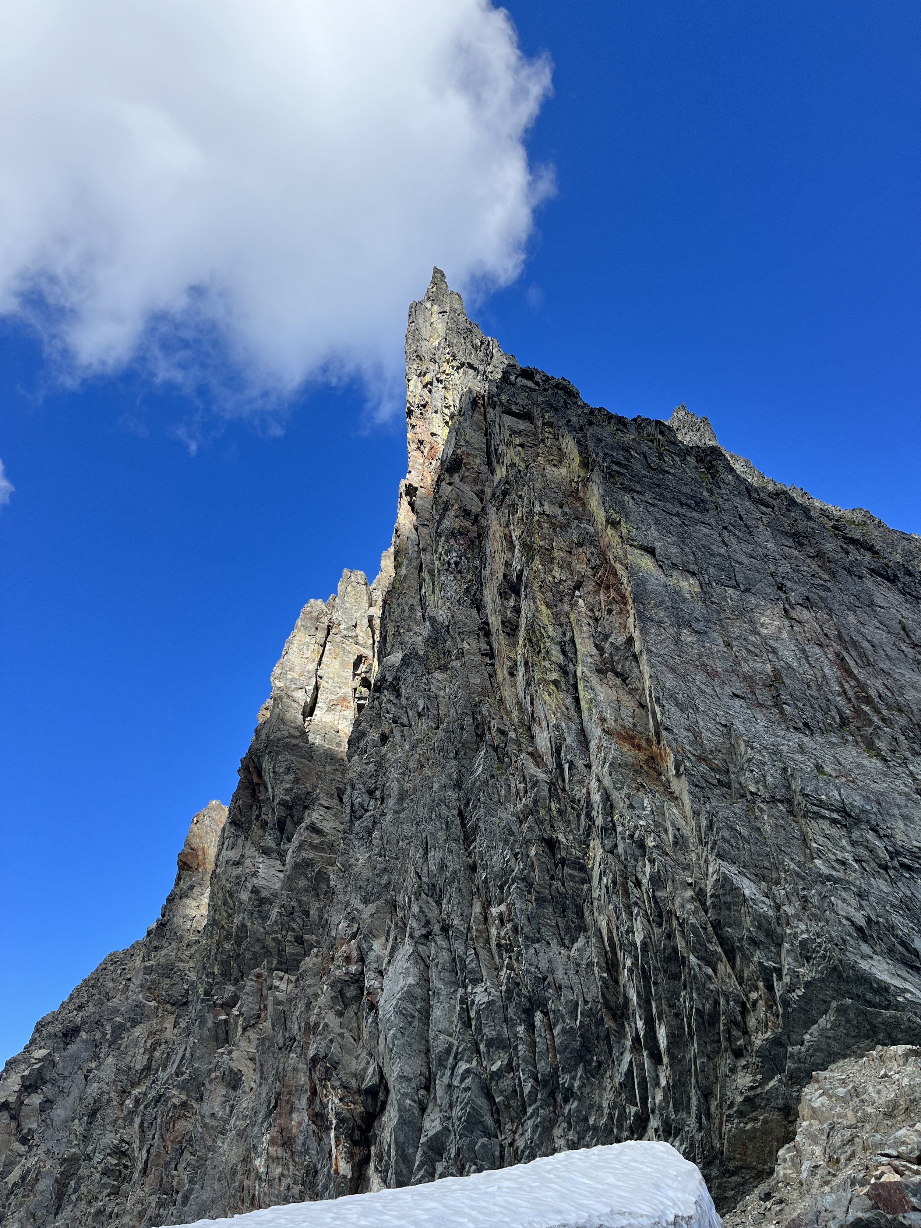
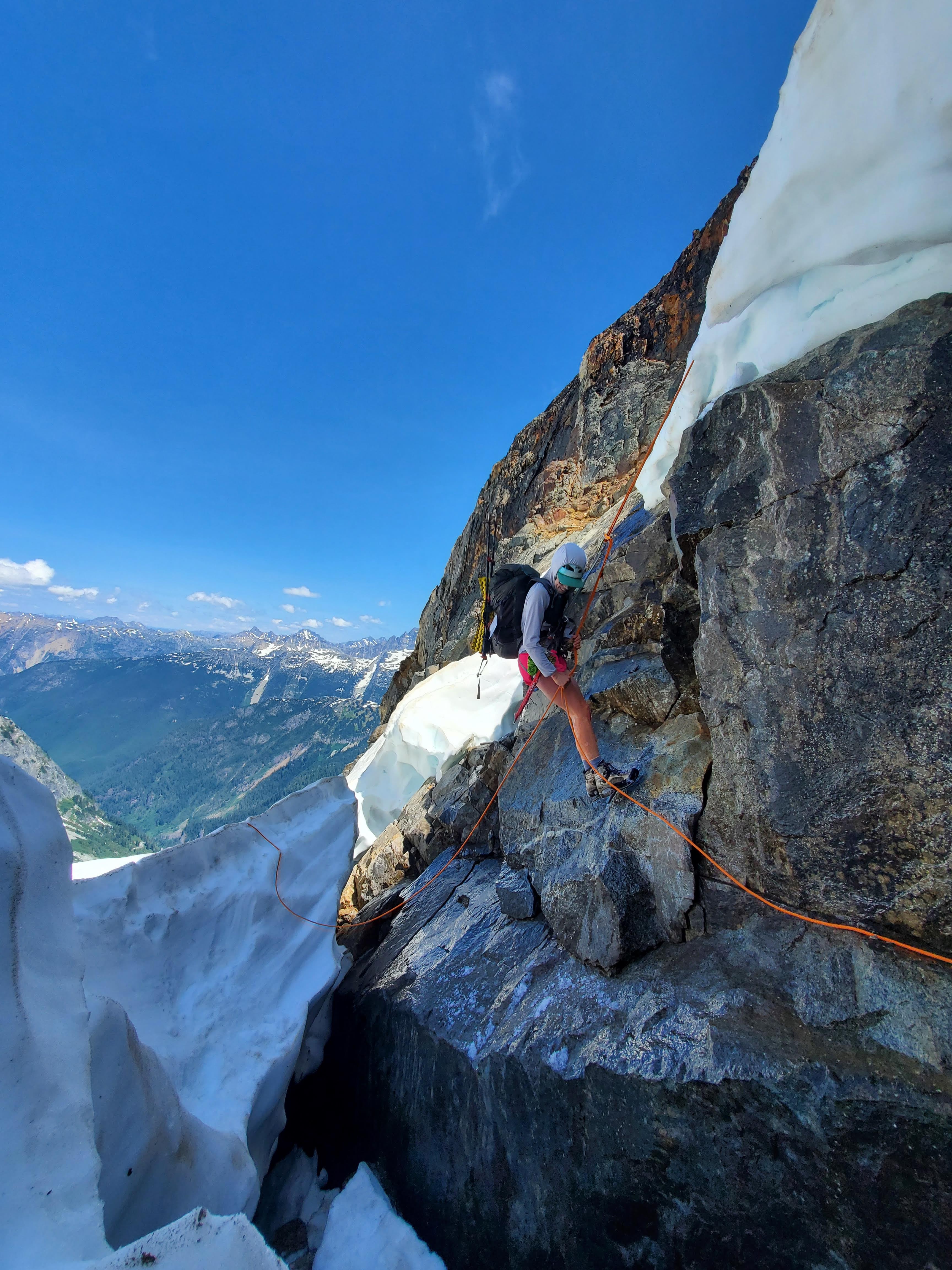
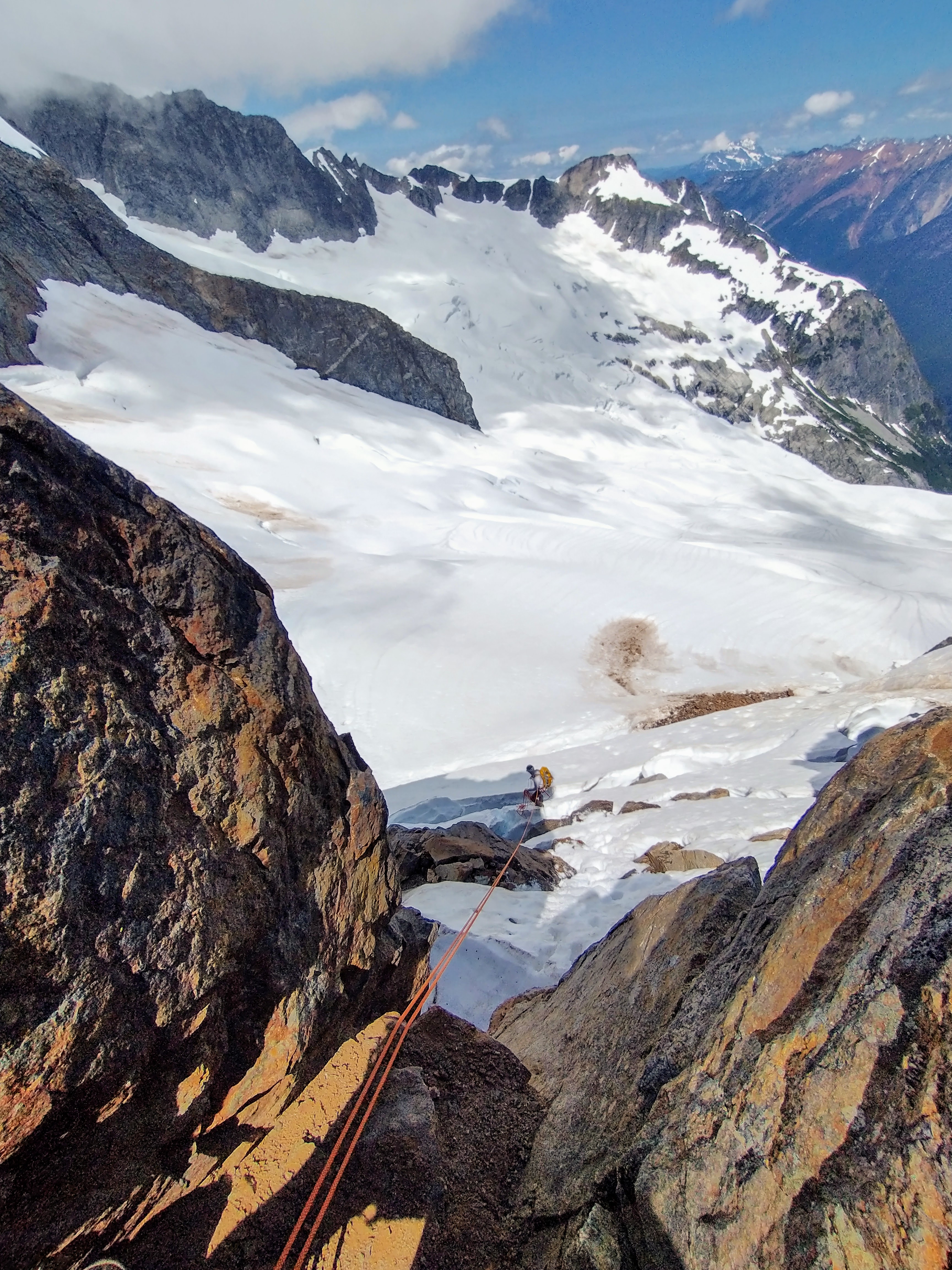
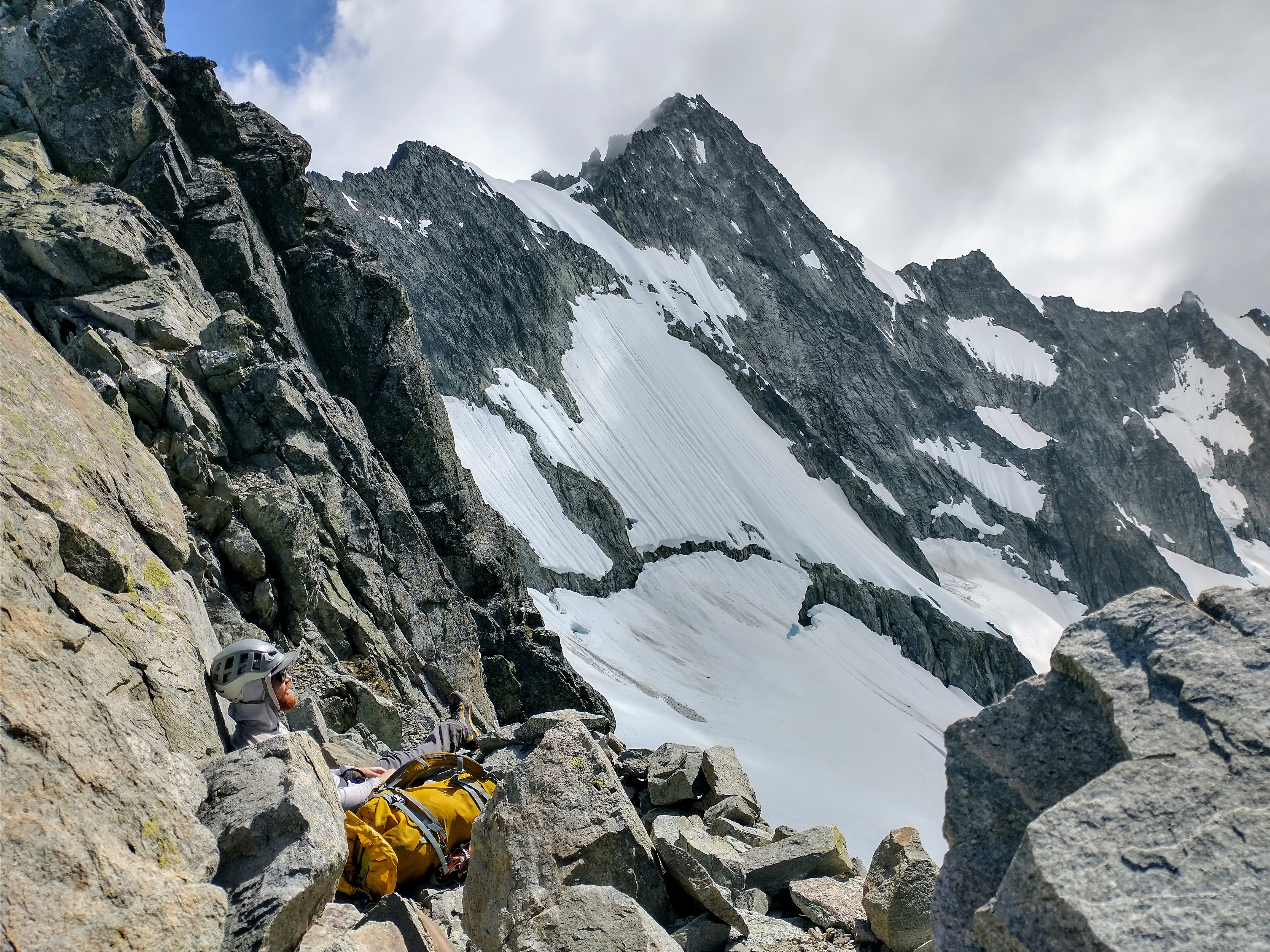
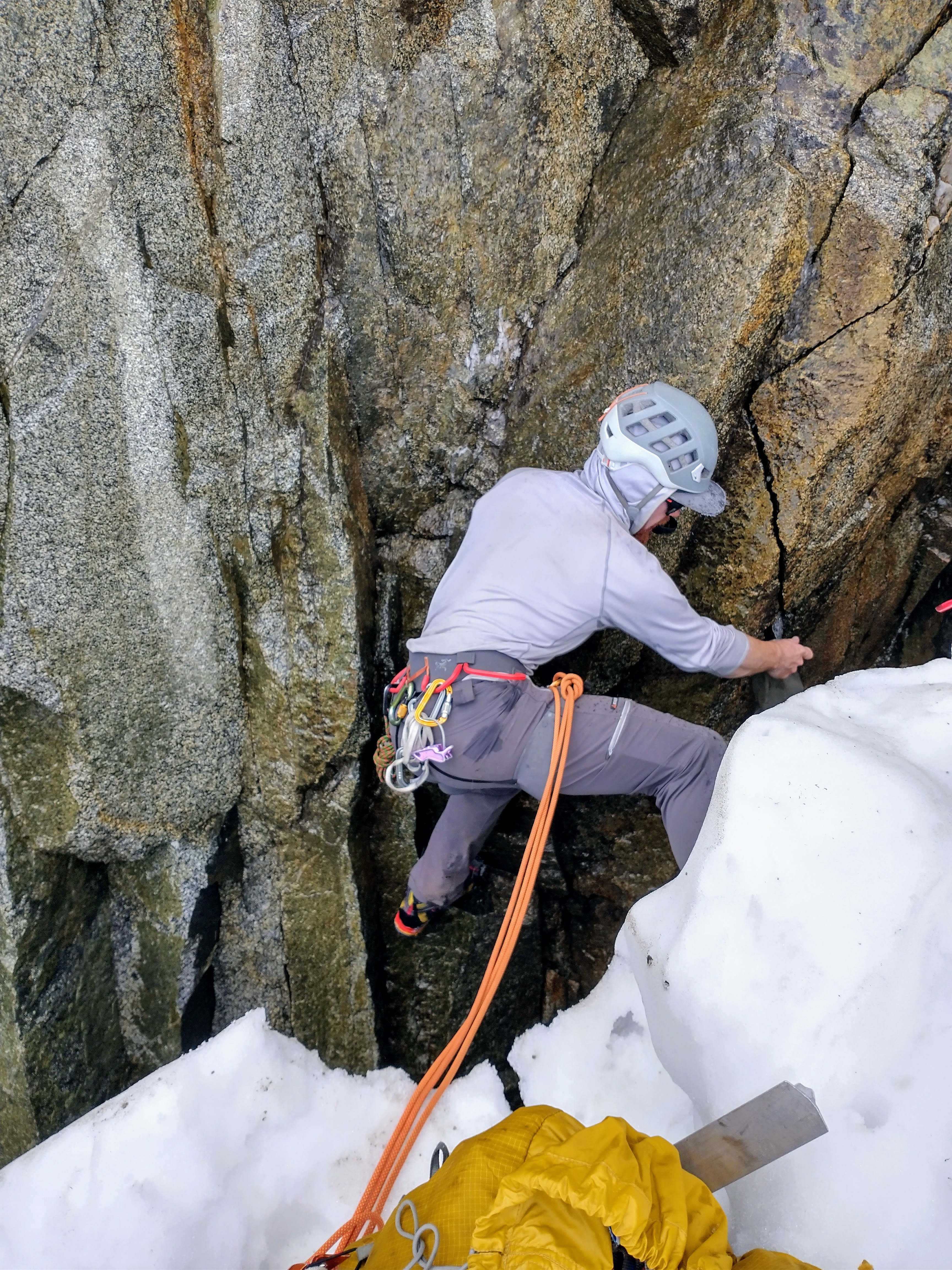
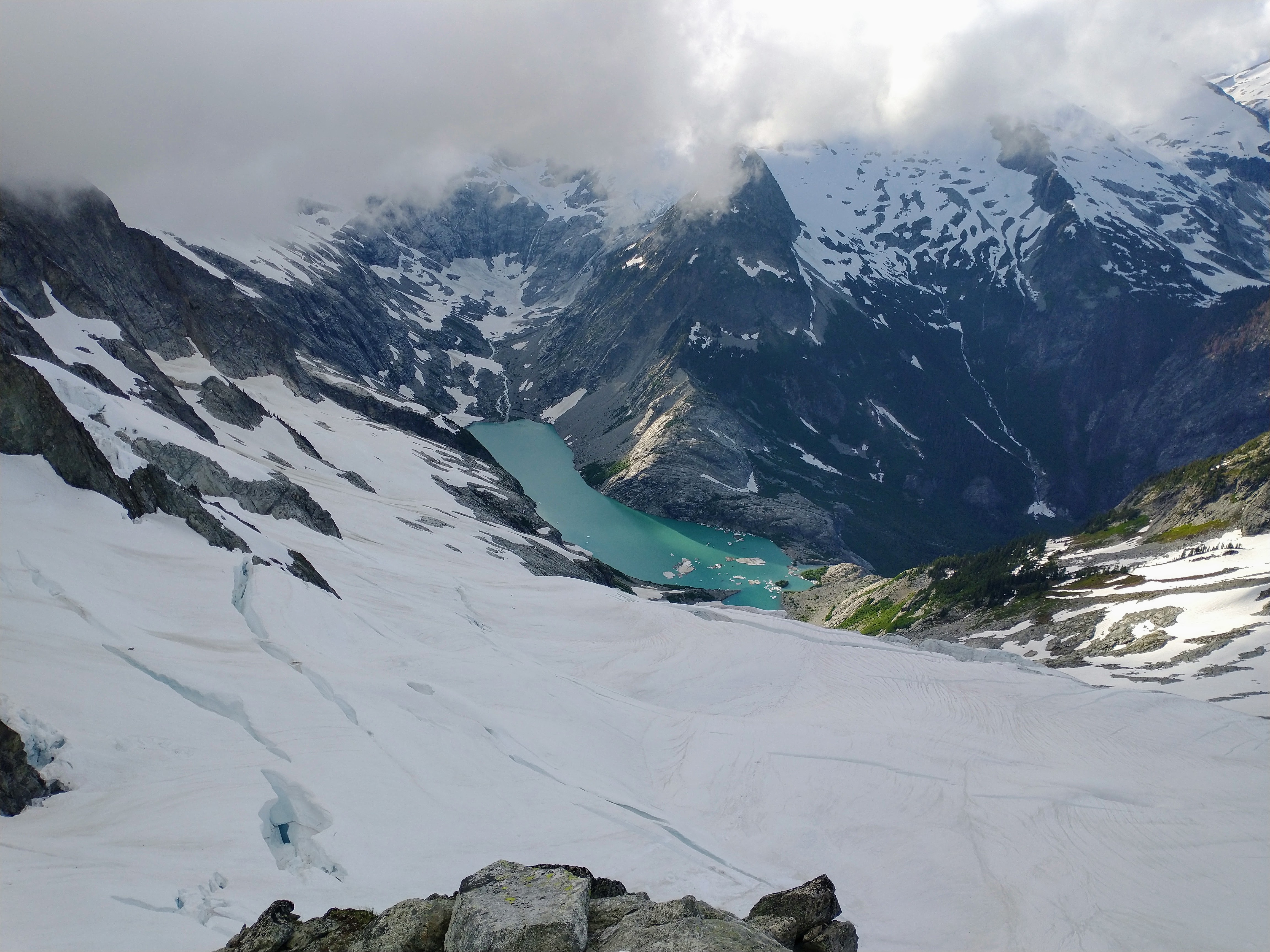
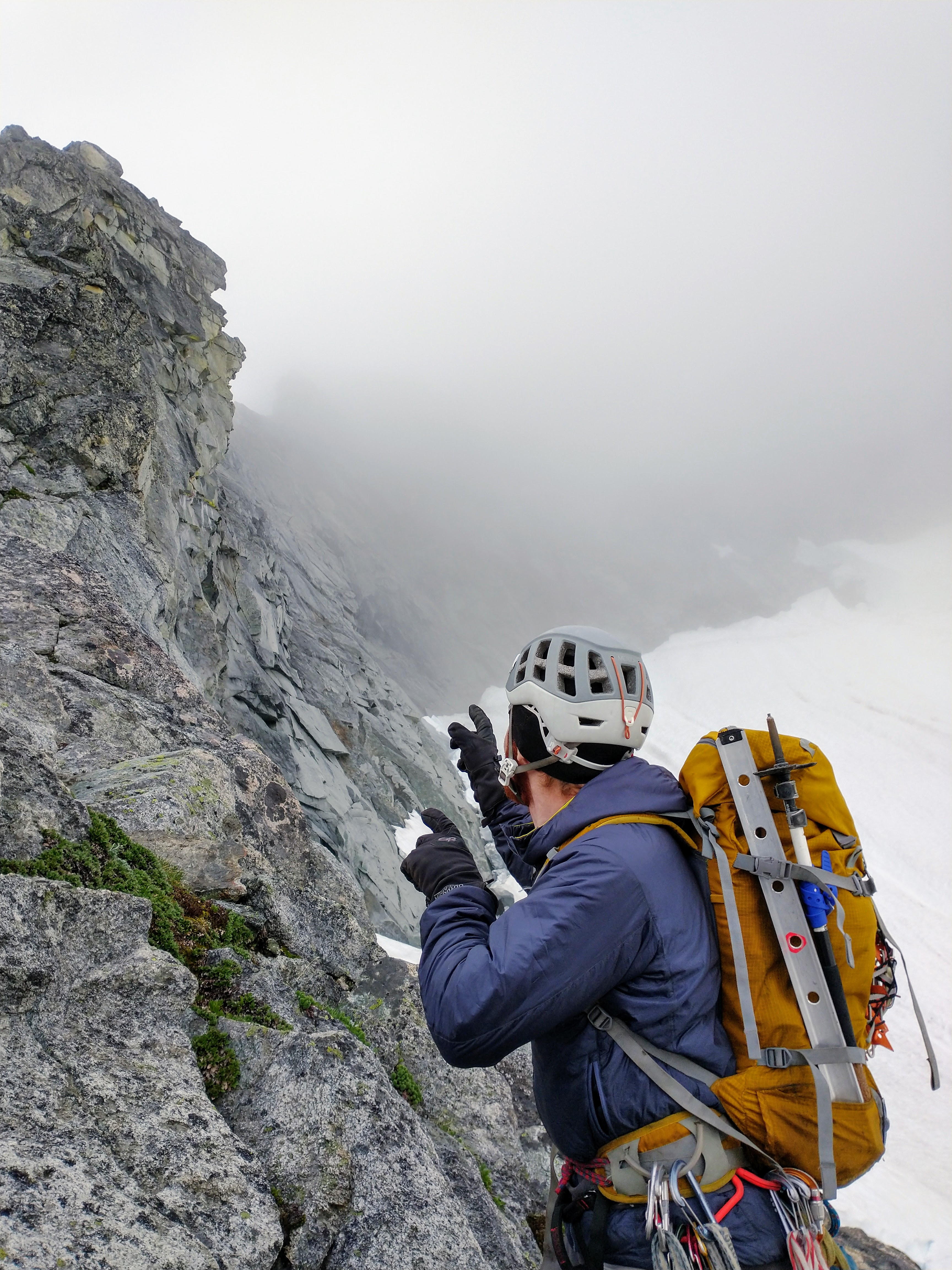
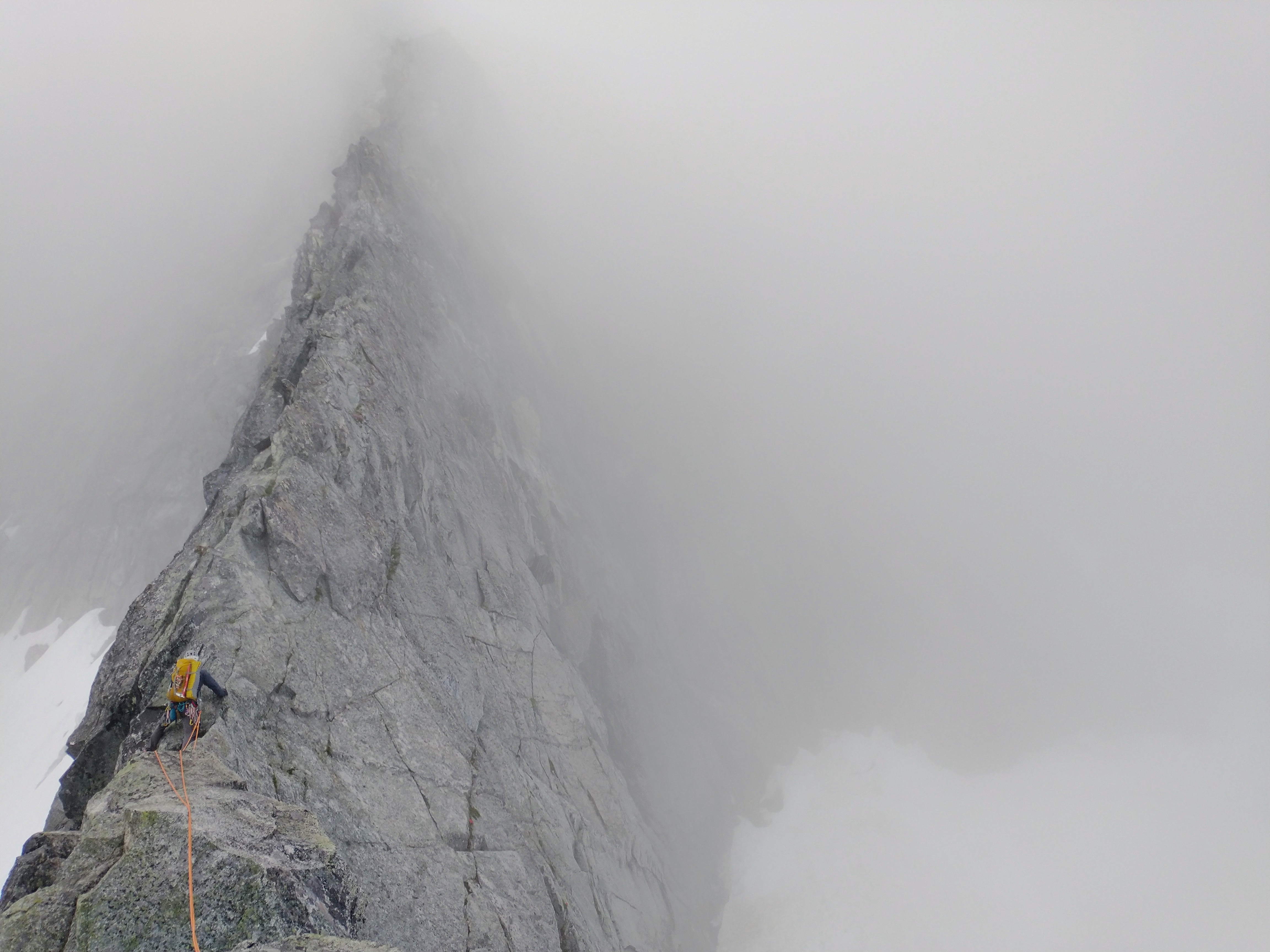
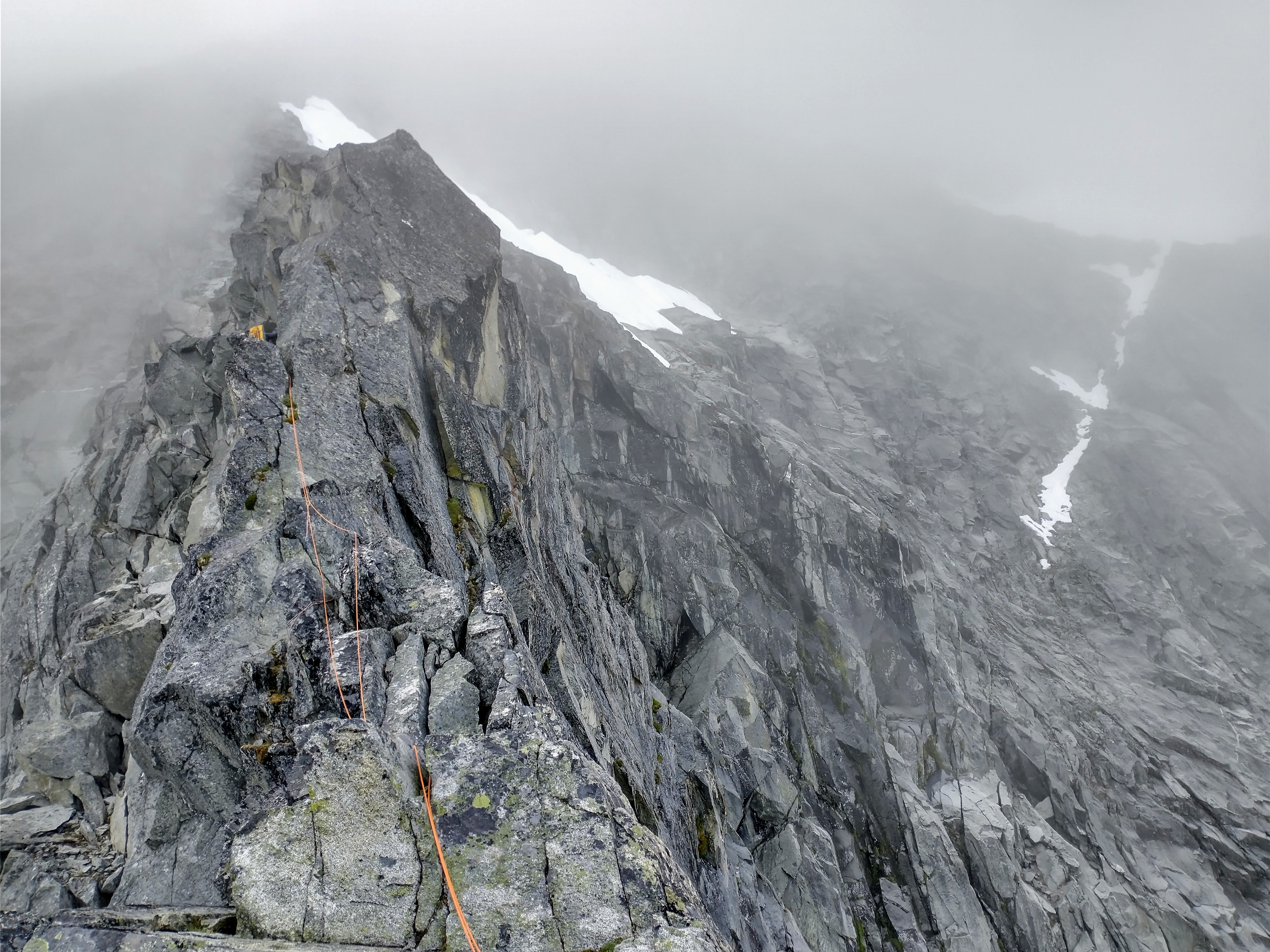
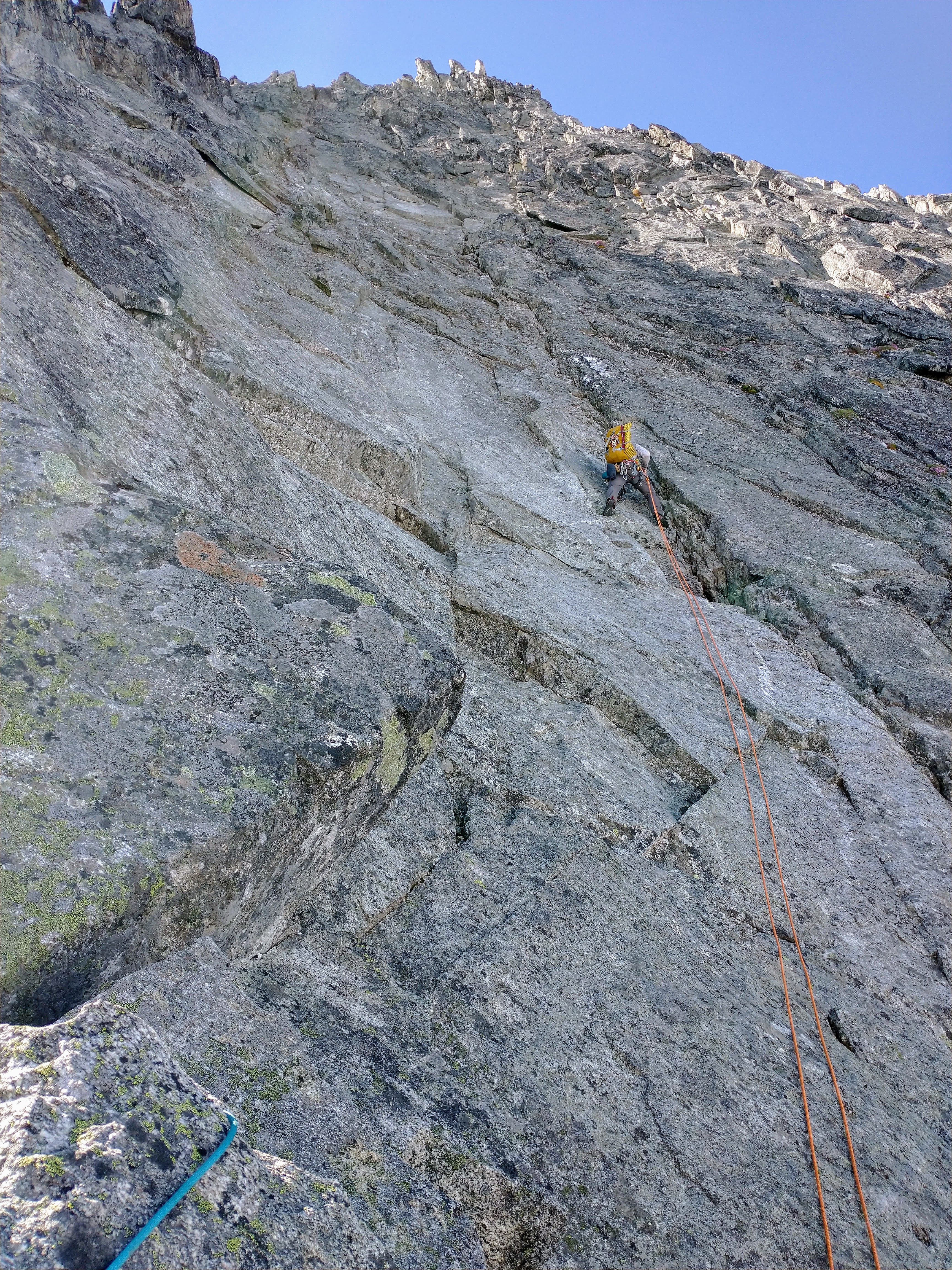
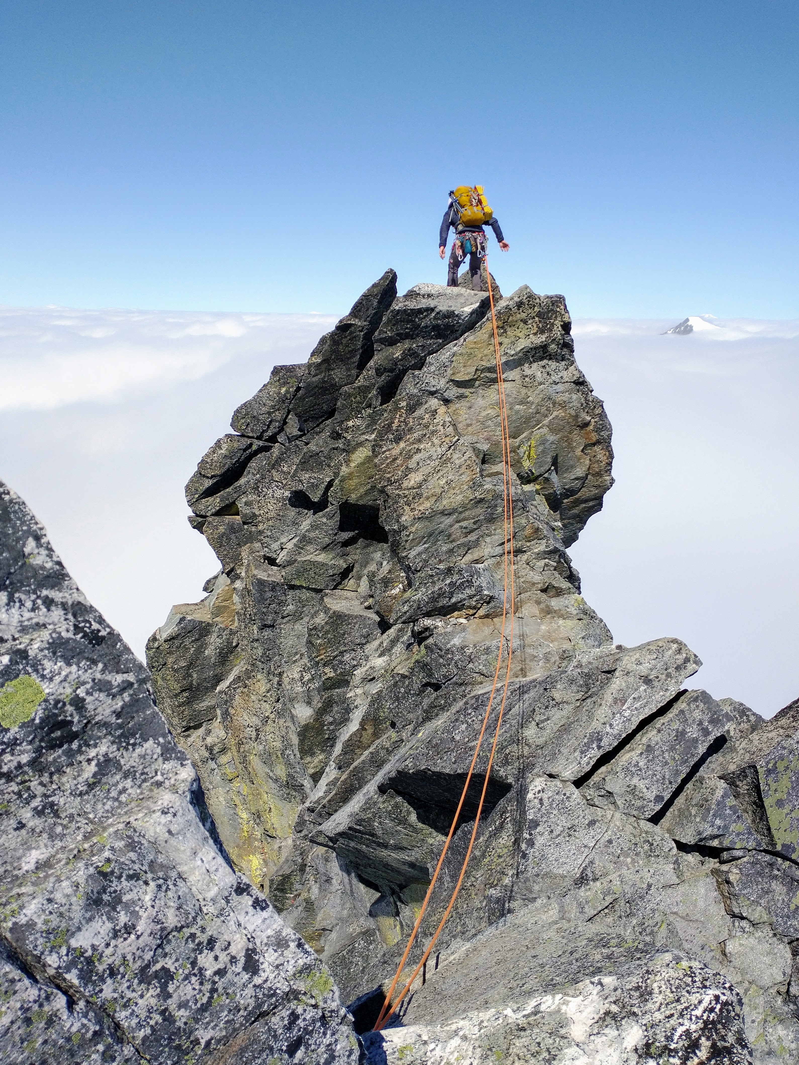
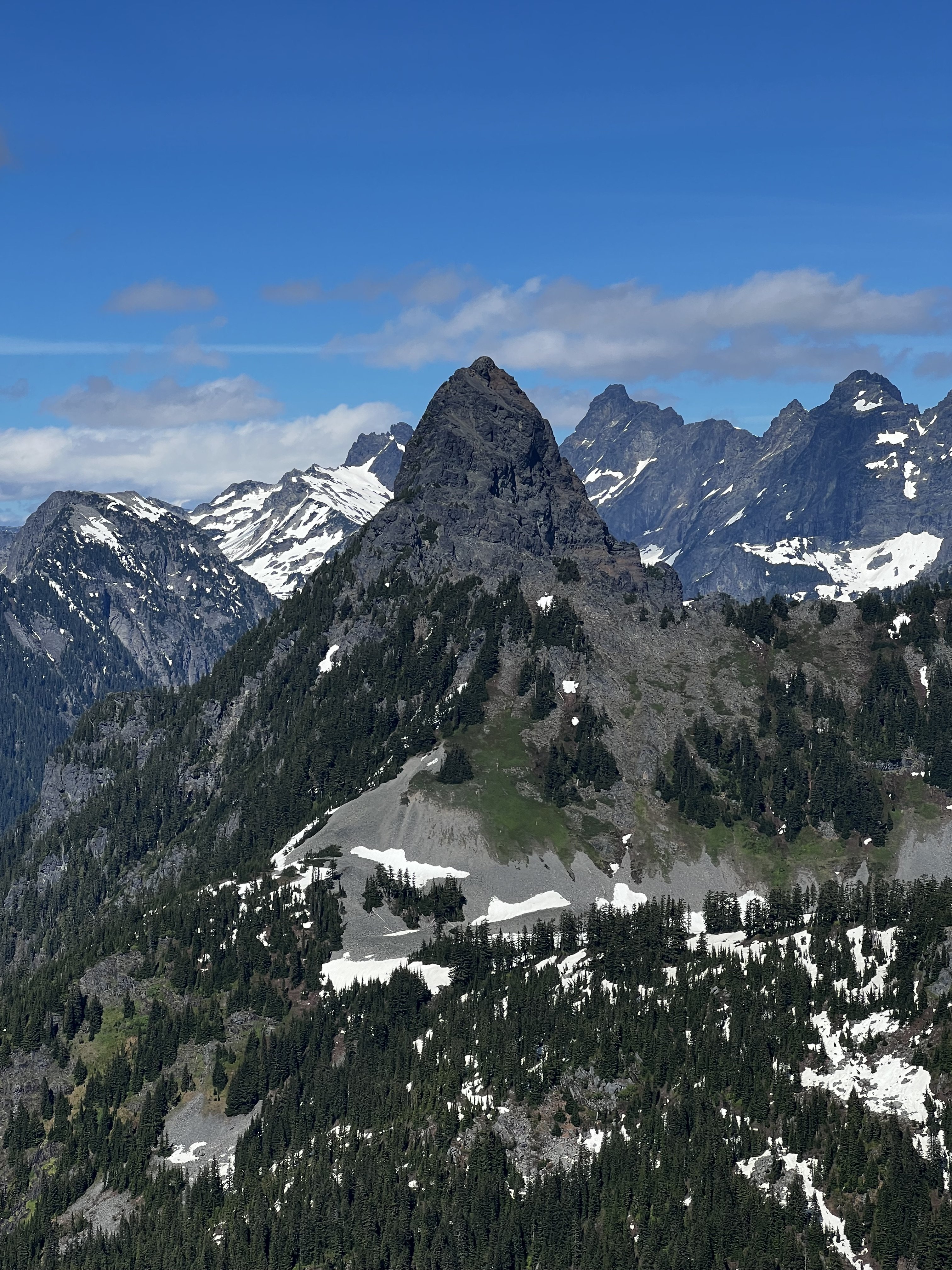
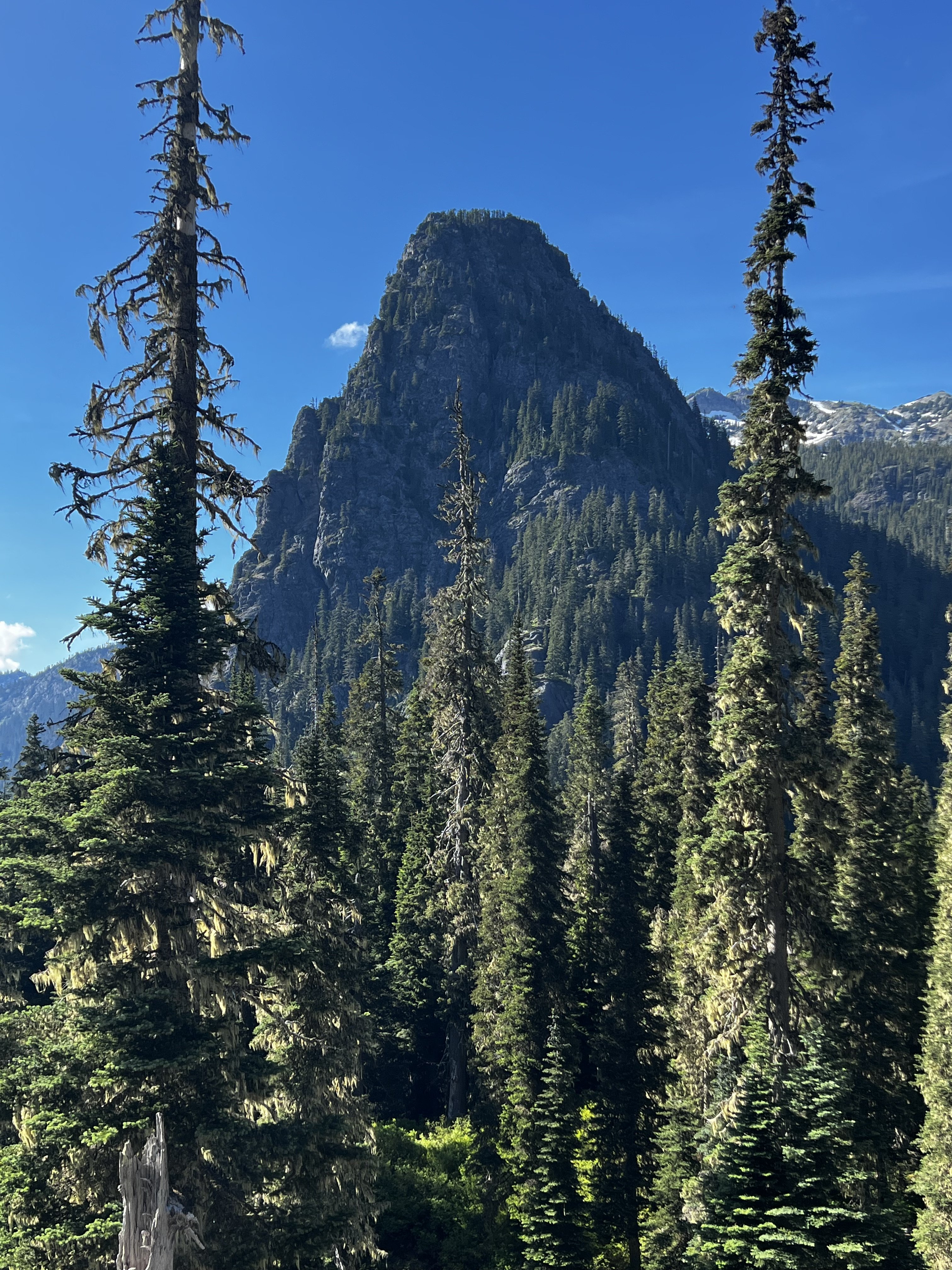
Trip: Johannesburg - “Flight of the Bumblebee” FA of the sit start to the NE Buttress of J Berg TD 5.9+R 1500’ Trip Date: 08/27/2022 Trip Report: This weekend, Kyle and I climbed the sit start to the NE buttress of J-Berg. We ended up rappelling due to injury after linking into the ‘57 route on the NE buttress. We added about 1500’ of steep and challenging climbing. The sit start climbs a tower with a bit of a distinct summit, so I don’t feel too bad claiming an FA. Becky likely wouldn’t have given us credit for anything, so judge it how you will. If linked to the summit, it would likely be one of the biggest monolithic climbs anywhere. TD+… ED…? Only one way to find out. This is likely a one and done for me, when we topped out the lower buttress I thought to myself “the climb we did so no one else had to”, but rapping where we did leaves the door open for at least one suitor to up the ante. The lower buttress in moody, morning fog We had a late start sat morning. The uncertain weather had us sleeping in and waiting. Lani and I had attempted the line a couple years ago and ultimately bailed because the climbing looked like it was going to be far more time consuming than our 2 day itinerary would have allowed. This time around, kyle and I packed a couple taco portaledges in case we had to bivy on the steeper lower wall. The approach involves a good bit of blueberry and devils club laybacking in high exposure. We came prepared this time and had leather garden gloves to grab the clubs… Kyle on the approach The approach is a bit of foreshadowing for what to expect on the rest of the buttress, but simply steeper… The first pitch was a long moss gully with difficulties that felt about like 5.7. For the second pitch, we discovered a sick splitter hand crack. Too short and too easy… Starting up the second pitch The third pitch was ledgy and mossy hand crack steps that fed into the main gully/corner that defines the route. This was the previous high point. starting up the third pitch The fourth pitch is what intimidated Lani and I off the route before. Steep, mossy overlapping roofs and steep corners loom above. This time around we were prepared to aid if needed and had a good bit of iron and a real hammer. We didn’t end up using the ladders and battled the moss with a nut tool and clawed our way up the slightly overhanging corner past a roof to a sloping ledge. We decided to start hauling the leaders pack at this point and ended up needing to tag the iron up for this belay. Kyle on the traverse above the P4 roof pitch 5 was more of the same, but with a chimney. Pulling through the chimney made me happy about the decision to haul packs. I ended up climbing a steep crack on the face to diverge from the main corner. To make faster upward progress, Kyle ended up climbing the thorn bush corner. He ended up unintentionally releasing about a ton of gravel when he stepped in the wrong spot. That reinforced the decision to take the spicy looking face. We ended up setting up a bivy at the top of this pitch. Glad to have the tacos as it was completely hanging. heading into the chimney on P5 kyle following the choss corner at the end of P5 chilling at the bivy in a super taco looking up at the upper corner from the bivy The next few pitches were actually pretty fun. Steep face and corner climbing on surprisingly solid rock. starting up P7. 5.7R up to the roof. kyle following the roof at the top of P7 The 8th pitch was the start to the sting in the tail. We climbed a runout face to the right of the corner. This took us up to the edge of the wall. The wall pinched off to a blunt, knife edge arete. A 5.8 downclimbing traverse into a rock scar was probably the most dangerous point on the climb. The last piece was maybe about 60 ft away and around the arete. A fall would likely chop the rope along the arete. Strong R. The rock scar was overhanging 5.9 stemming on less than ideal rock but with good gear. climbing up near the arete on pitch 8 kyle finishing up pitch 8 Once on the prow of the wall we had a few options. None of them looked good. The chimneys above looked truly awful, so we opted to traverse the arete to the right and found a mossy ramp that took us out onto the NW face. I belayed short for communication and to help make decisions. The next pitch was bleak, dead vertical terrain everywhere and so much munge. We ended up making a huge S shaped traversing pitch to work our way up moss covered 5.8 sketch blocks. We named this pitch “Phil’s Traverse” as we were intending on calling the route “the land of confusion”. The sting in the tail continues… kyle following the zag on Phil’s Traverse A long pitch of overhanging 5.7 tree climbing spat us out on a decent ledge where we transitioned out of rock shoes to prepare for the Forrest. I was nearing the end of the rope on a classic J-Berg tree pitch and grabbed a tuft of moss, as you do. This particular tuft was a bees nest. I felt stinging and saw a few on my right hand and about 100 bees shot out of the hole, dead set on face fucking me off the mountain. I let go in a knee jerk reaction and went for a slow motion, sports action highlight style whipper. I kind of wish I had a video camera on as it had to have been funny to watch. I ended up grabbing, and swinging off a tree on the way down, making a single rotation tomahawk and falling onto my feet as the rope caught me. Glad I took a lead belay. I ended up rolling my ankle and was otherwise unscathed. I belayed Kyle up and we weighed our options. We decided to find a place to bivy and wait until the morning to make any decisions. We ended up climbing up another 300’ of forest munge to the top of a heather slope. The top of the slope was a comfy knoll that marked the summit of the lower tower, and an awesome bivy! This was our summit and the first point where it was obvious we had linked into the ‘57 line. kyle rapping a steep section of the wall Waking up, my outlook was pretty grim. I could barely hobble around, so we decided to descend our route. I couldn’t really put weight on my ankle so I ended up glissading the last 100’ of 35 degree heather. Once back at the tree line we began rapping. We ended up rappelling about 1800’. Primarily rapping on trees and using an escaper we were able to get away with only leaving a couple gear anchors along the way. Traversing the talus back to the car was kind of miserable, but manageable. My ankle is starting to feel better already, crossing my fingers for a minor sprain. For the aspiring munge warrior, here’s pitch notes P1 5.7 180’ head up moss gully on the left to a big ledge with trees. P2 5.7+ 180’ traverse to left edge of ledge. Head up good hand crack. Traverse slab to the right and climb a nice finger crack up to a large ledge on the ridge crest. P3 5.8 150’ head up into the large mossy corner. Climb up to a distinct roof with hands to fists gear for anchor. P4 5.9 100’ continue up the corner. Mossy crack climbing leads to a rightward roof traverse. Pull past the roof onto the large sloping ledge. Two beaks in place for anchor P5 5.9 100’ continue up main corner on clean slab. Past a short chimney and a crack on the right face (5.9+). Belay at uncomfortable stance below a striped roof in a good crack in the main corner. P6 5.9+ 85’ continue up main corner past a small roof (crux) to an alcove at the base of the massive looming roof above. #4 critical for belay. P7 5.9+ 70’ climb the face to the right of the corner (5.7R). Up past an off width section to a section of steep crack/stemming on good rock. Belay in a cave. P8 5.9+ 160’ traverse out of the cave. Climb the face on the right up to a knife edge arete (5.8R). Traverse the slab rightward into a steep rock star (5.9+ spicy). Continue up past low angle broken terrain. Belay by a bush on a small ledge. P9 5.7 60’ head up and around the arete to the right. Traverse over on mossy ledges and build an anchor P10 5.8R 100’ “Phil’s traverse” traverse right. Up mossy blocks to trees. Traverse back left to a big tree for a belay. Heinous drag. P11 5.7 150’ climb the belay tree. Then continue up until rope drag stops you. P12 5.6 200’ trees up to the ridge crest to join ne butt route. Gear Notes: Double Rack .2 - 1 Singles 2 - 4 no nuts placed. Pins in place. Approach Notes: Park at cascade pass. Traverse talus to the base of the “munge cone”. Traverse to the right up steep ferns. Gain a steep ramp that cuts up and left on 4th class devils clubs. Mandatory devils club laybacking. We brought leather gloves for this. Traverse the ledge to an exposed perch by a steep gully.5 points
-
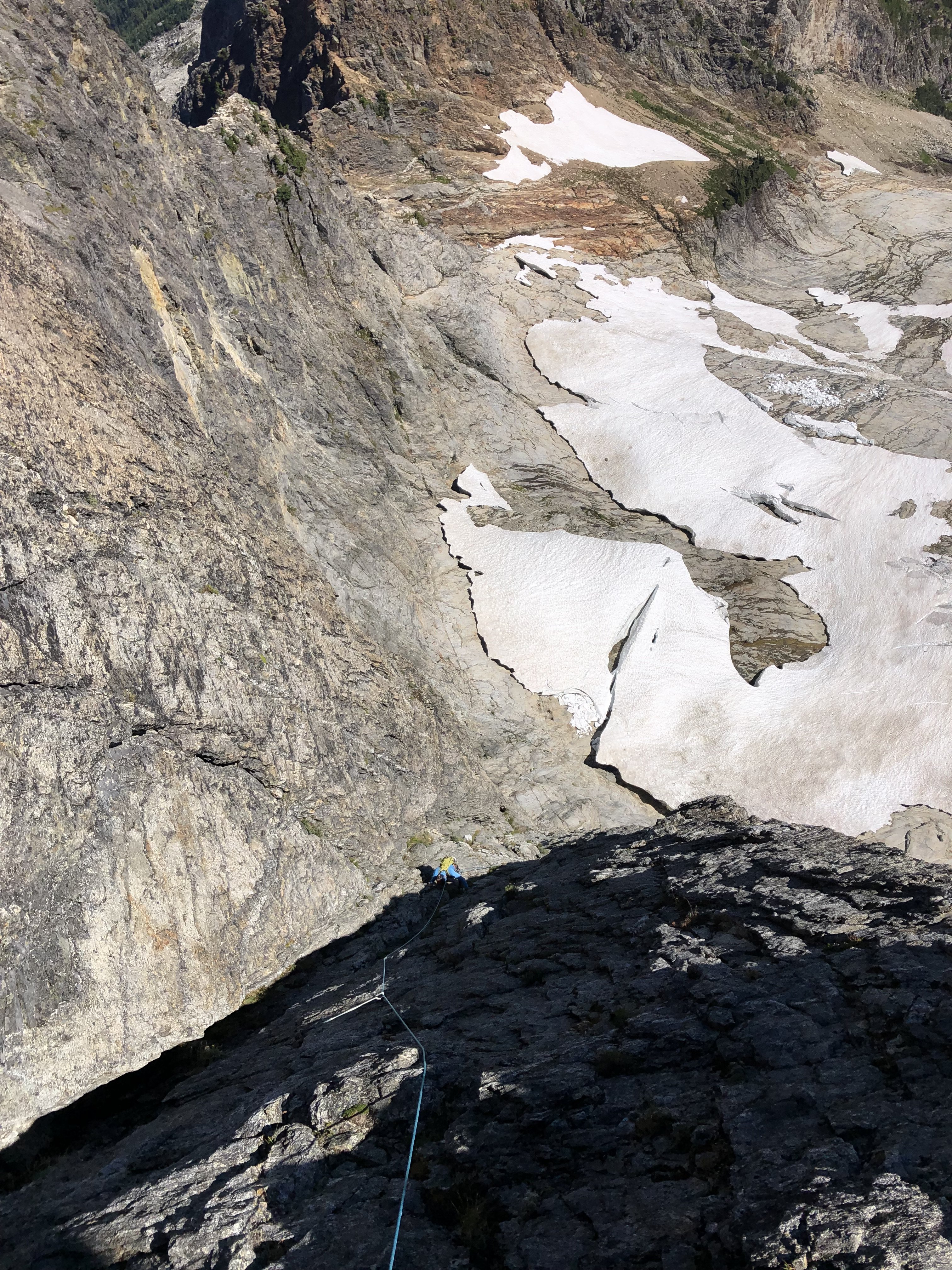
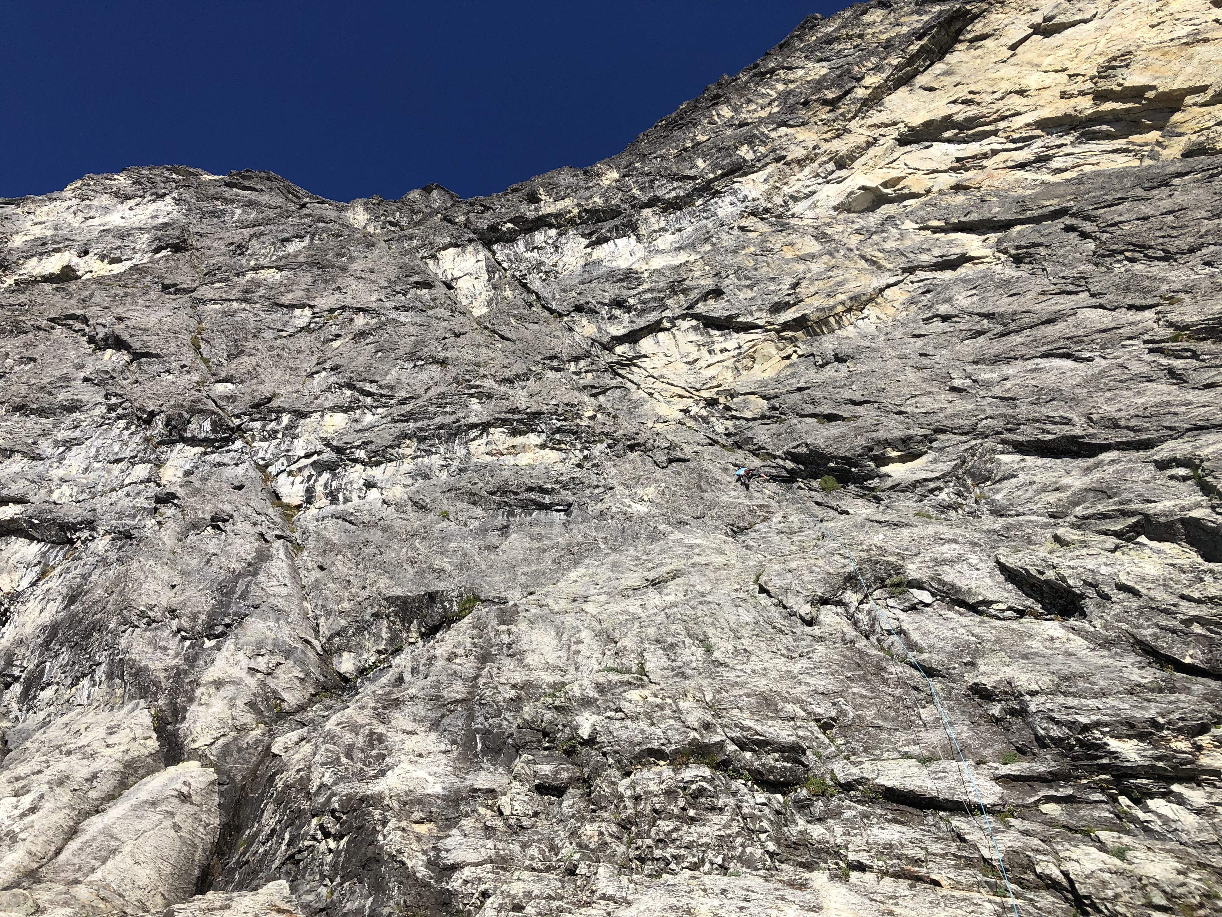
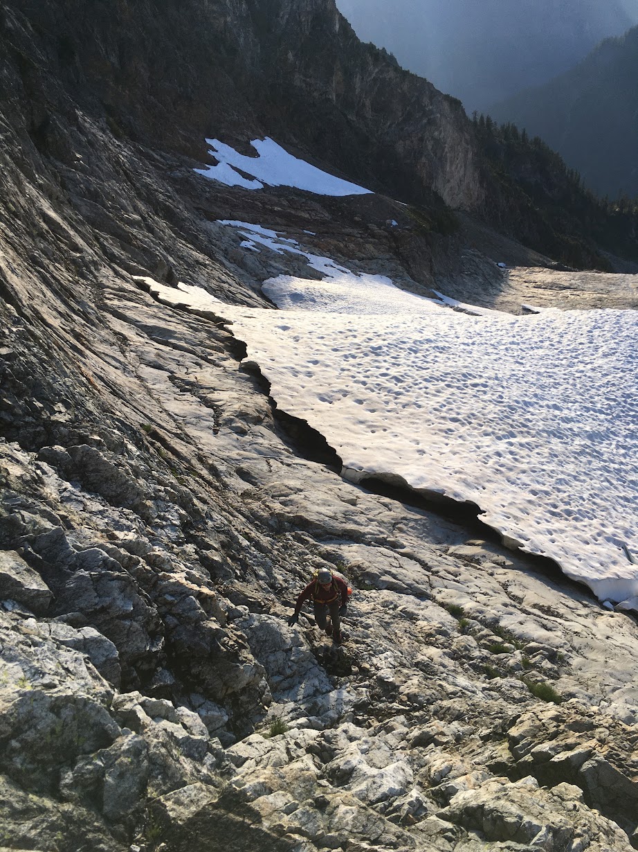
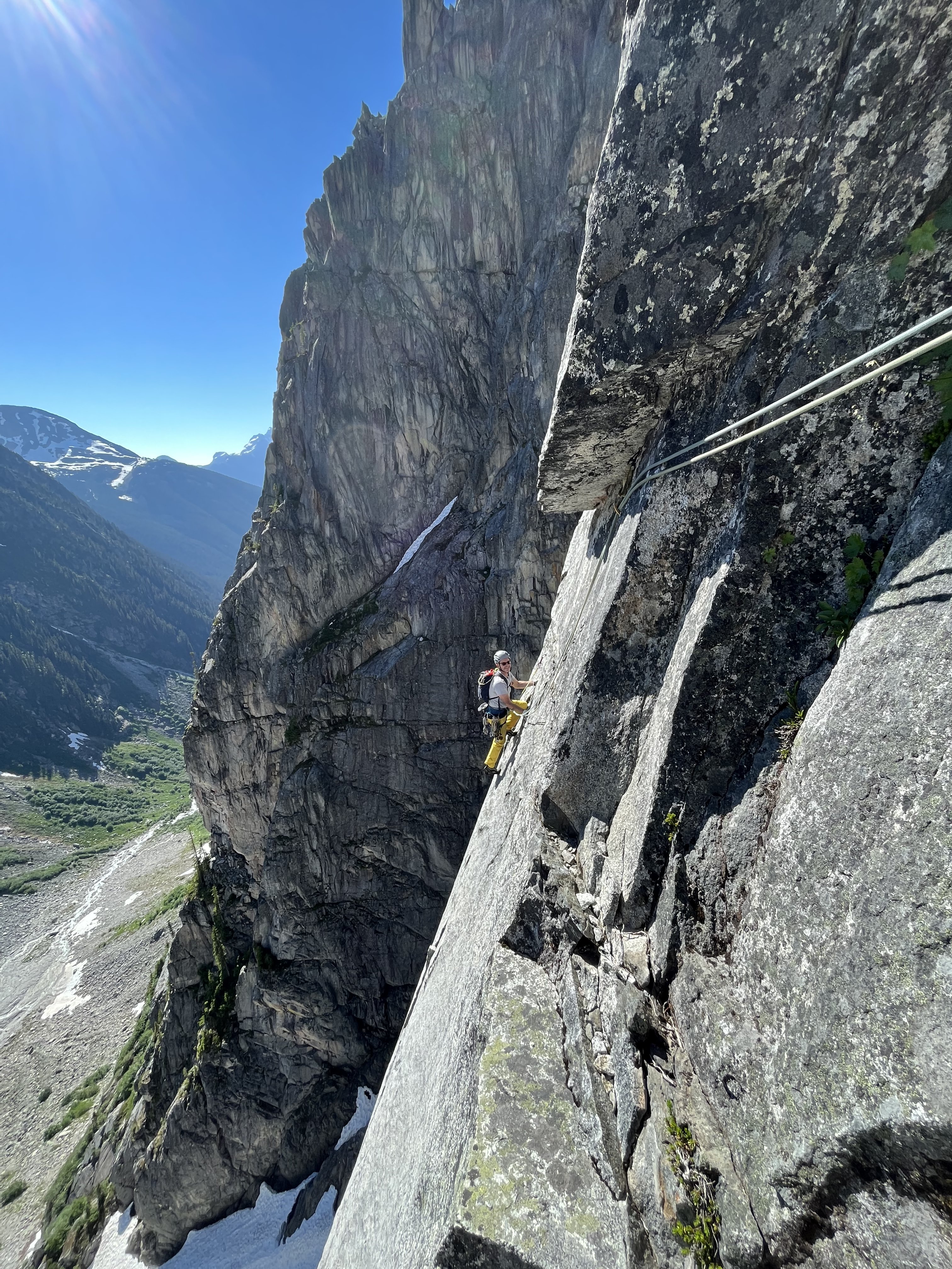
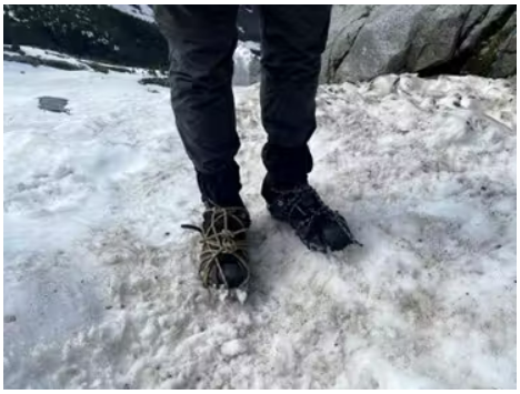
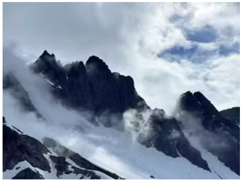
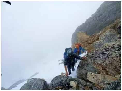
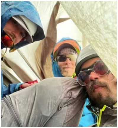
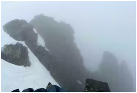
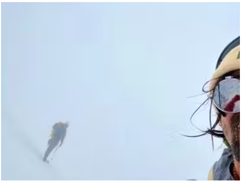
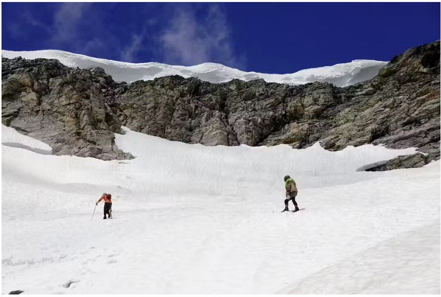
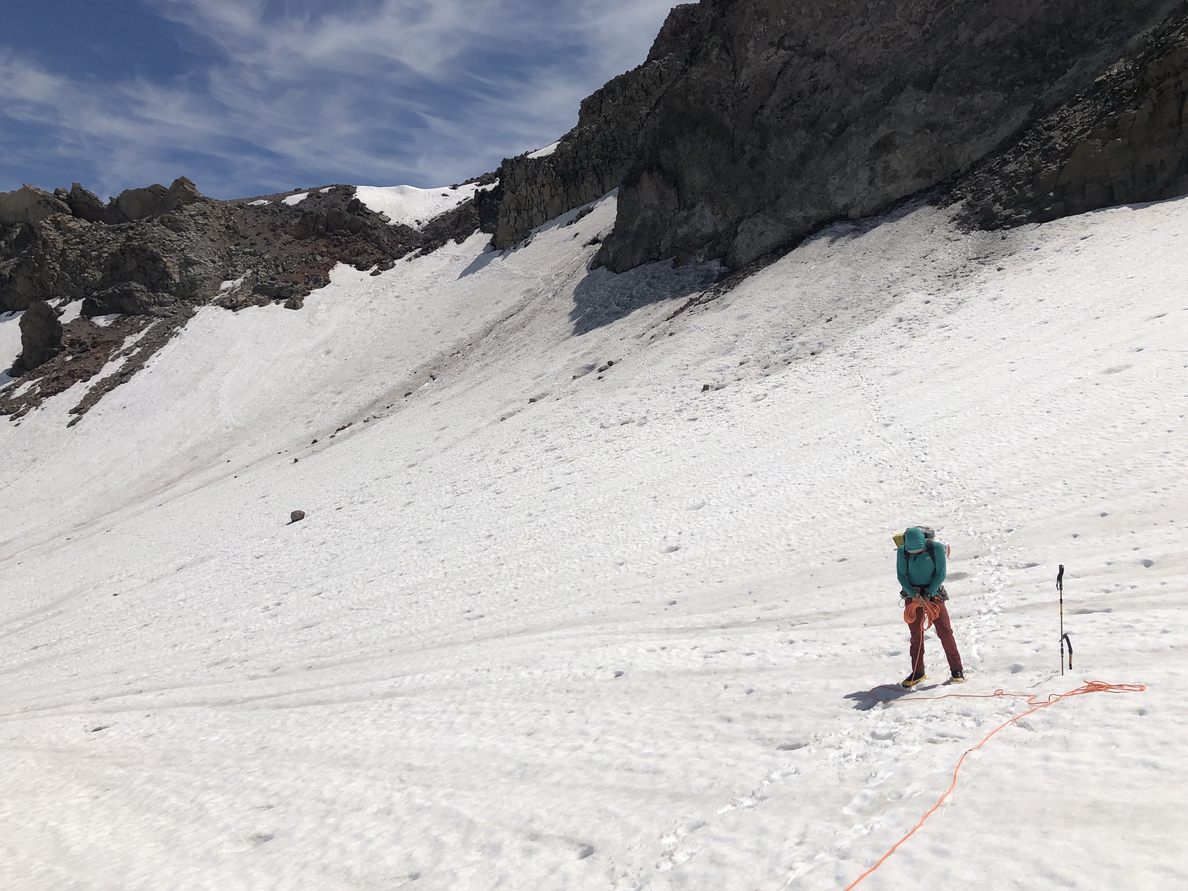
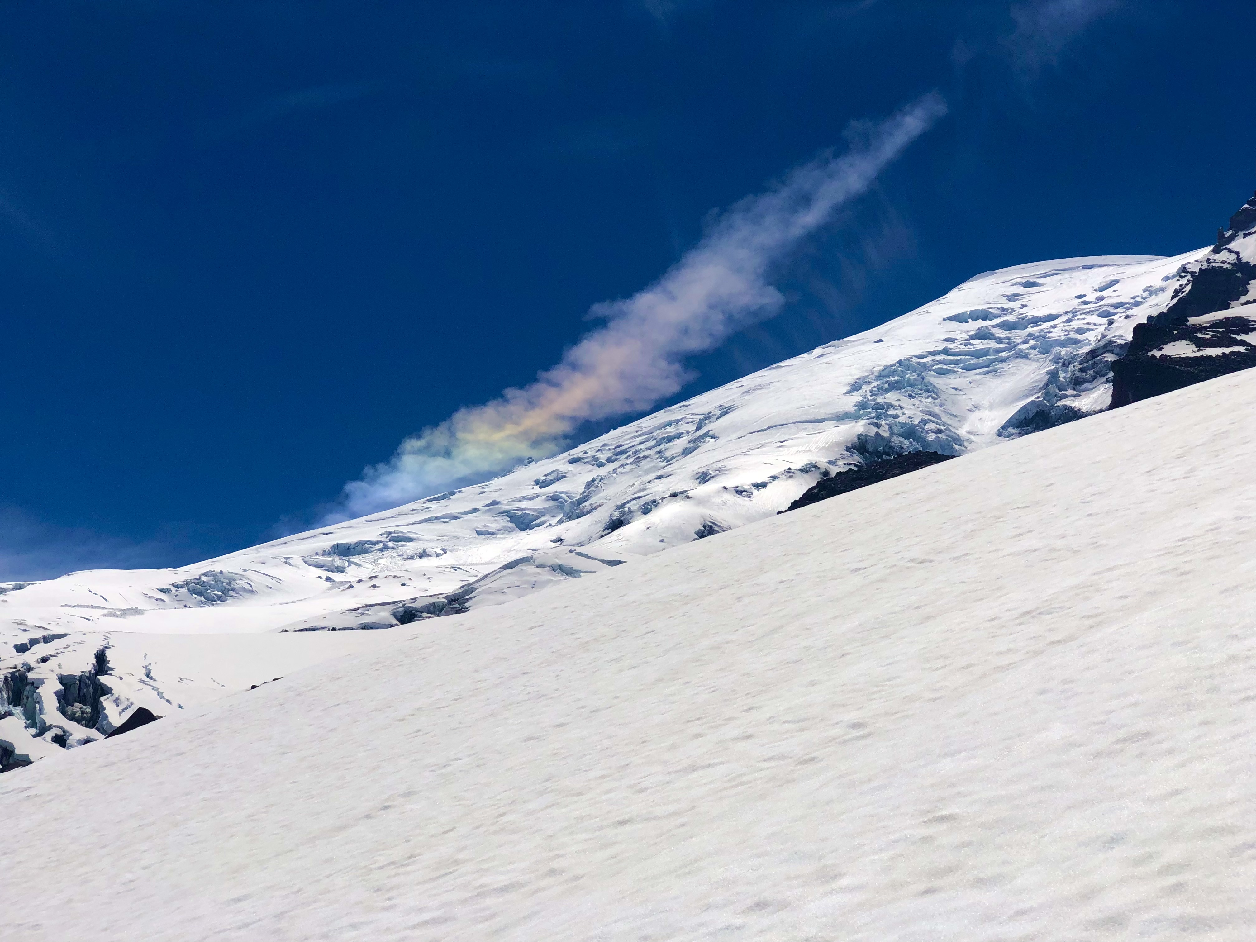
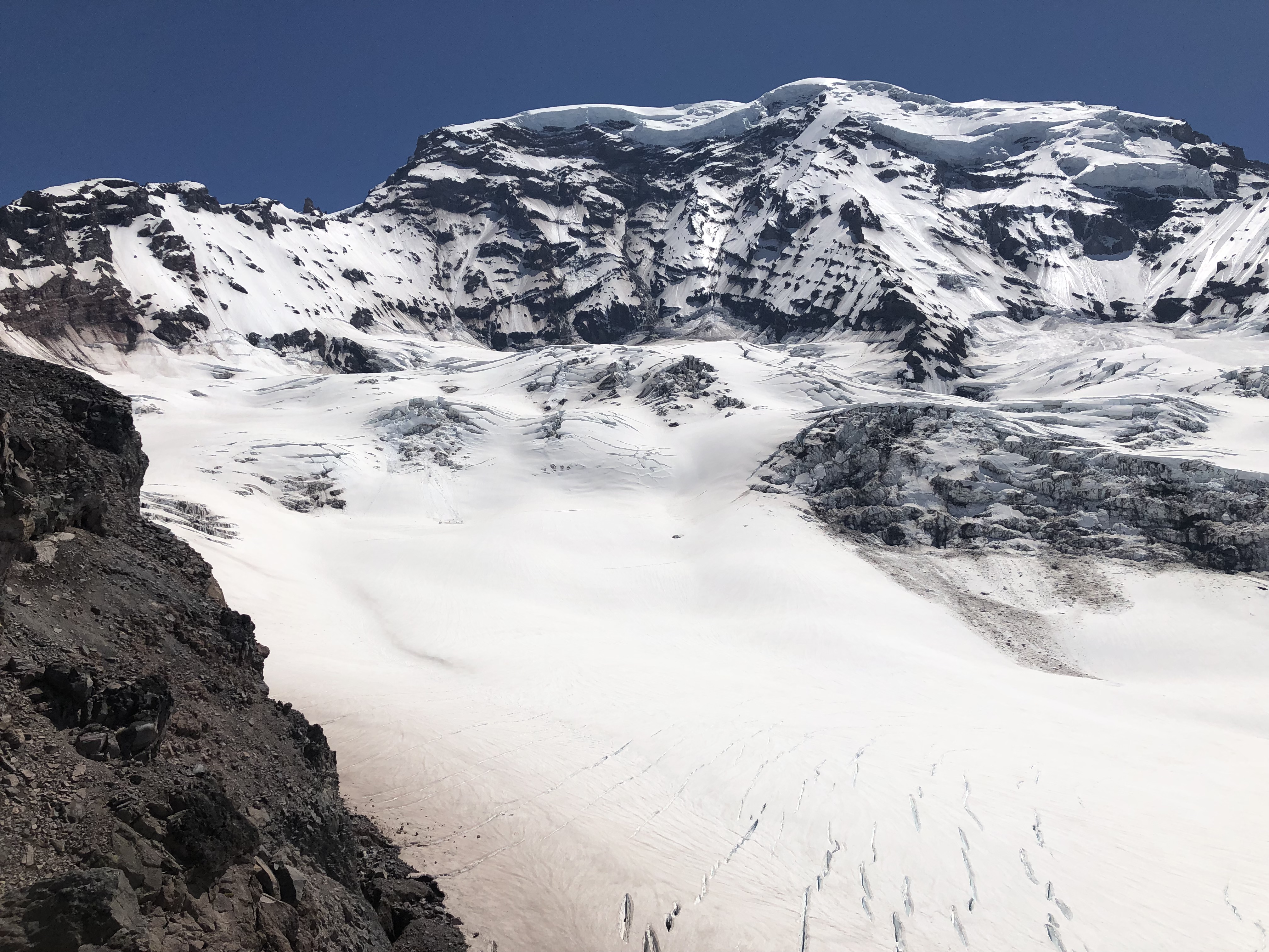
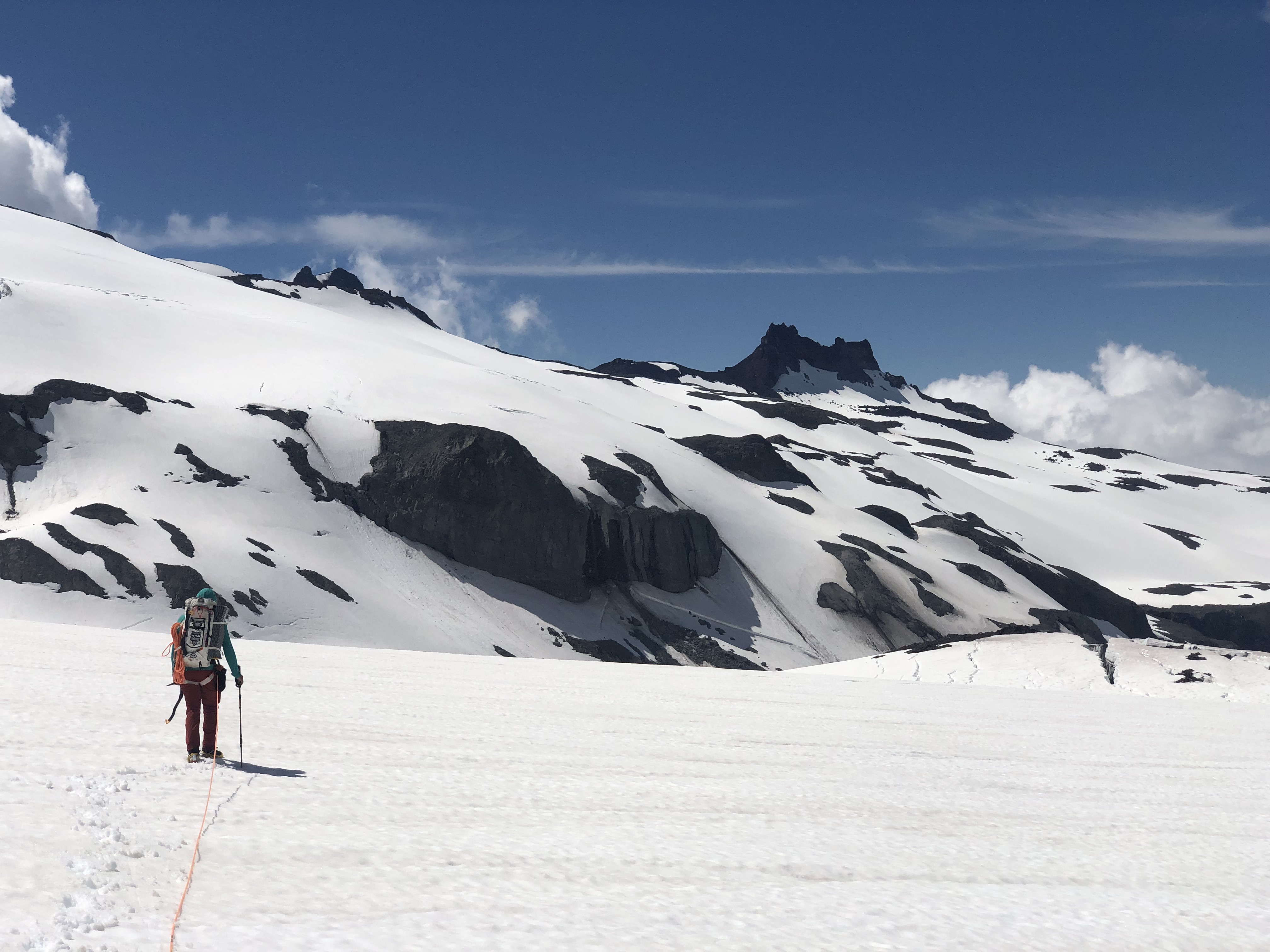
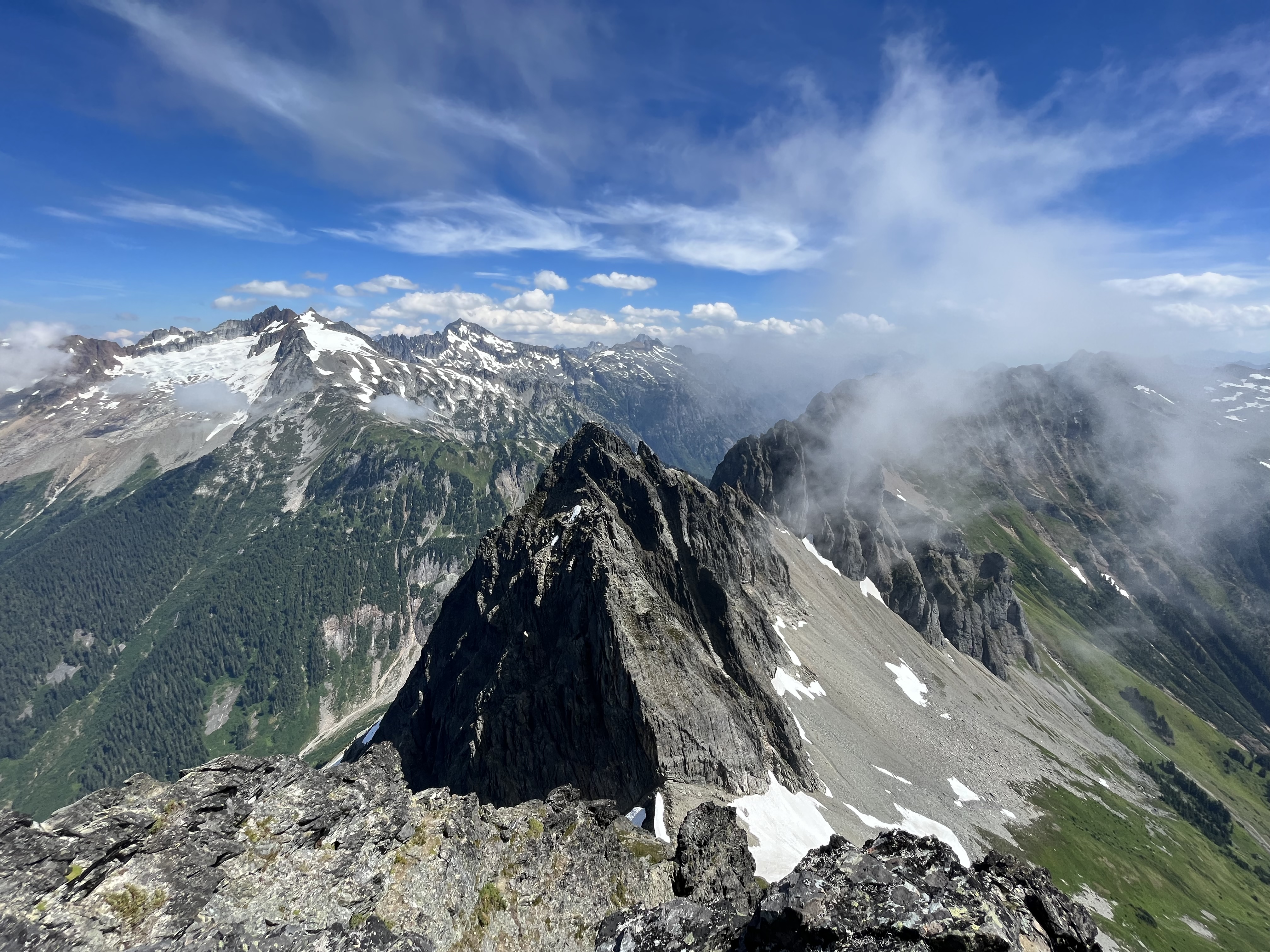
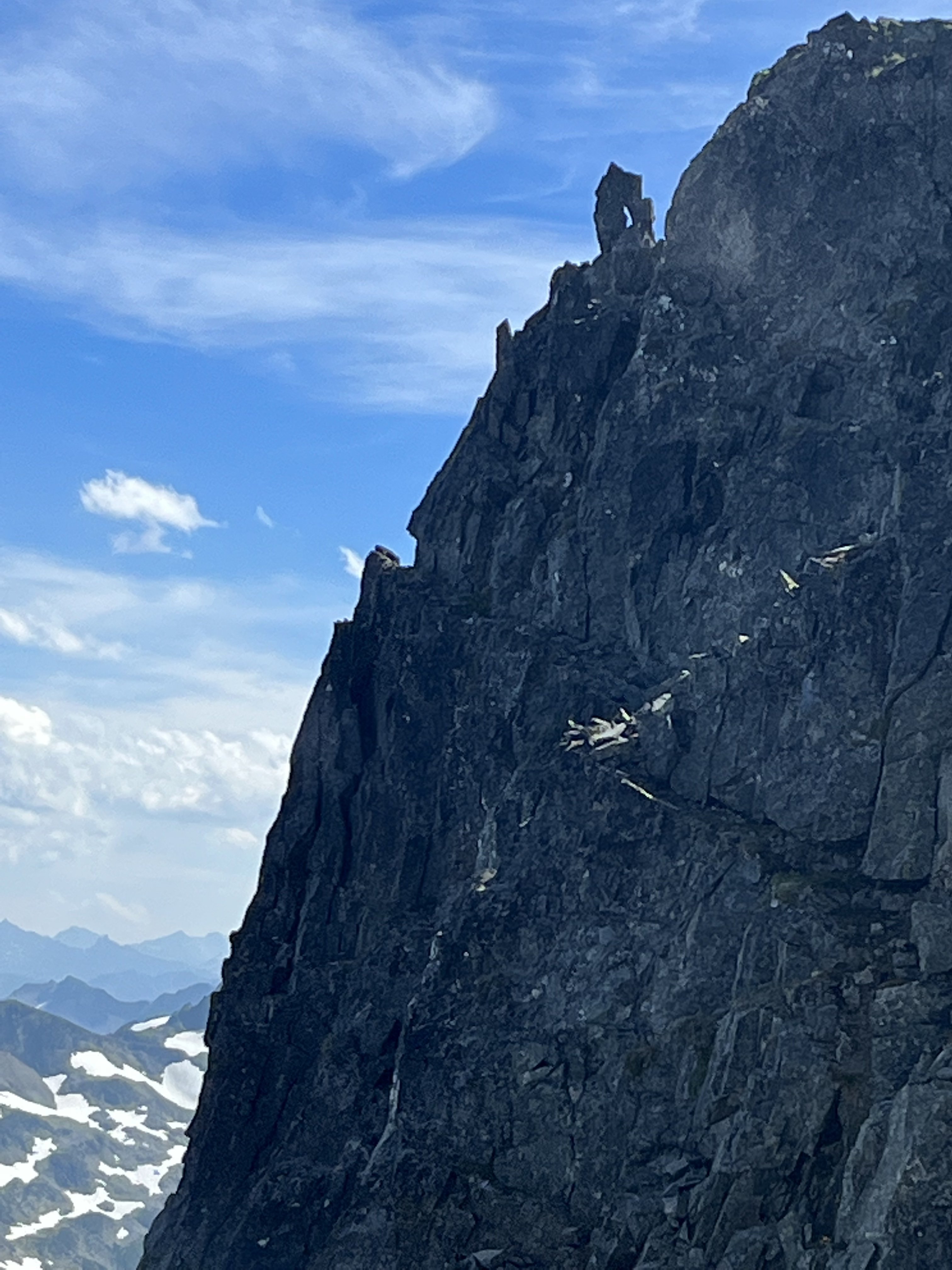
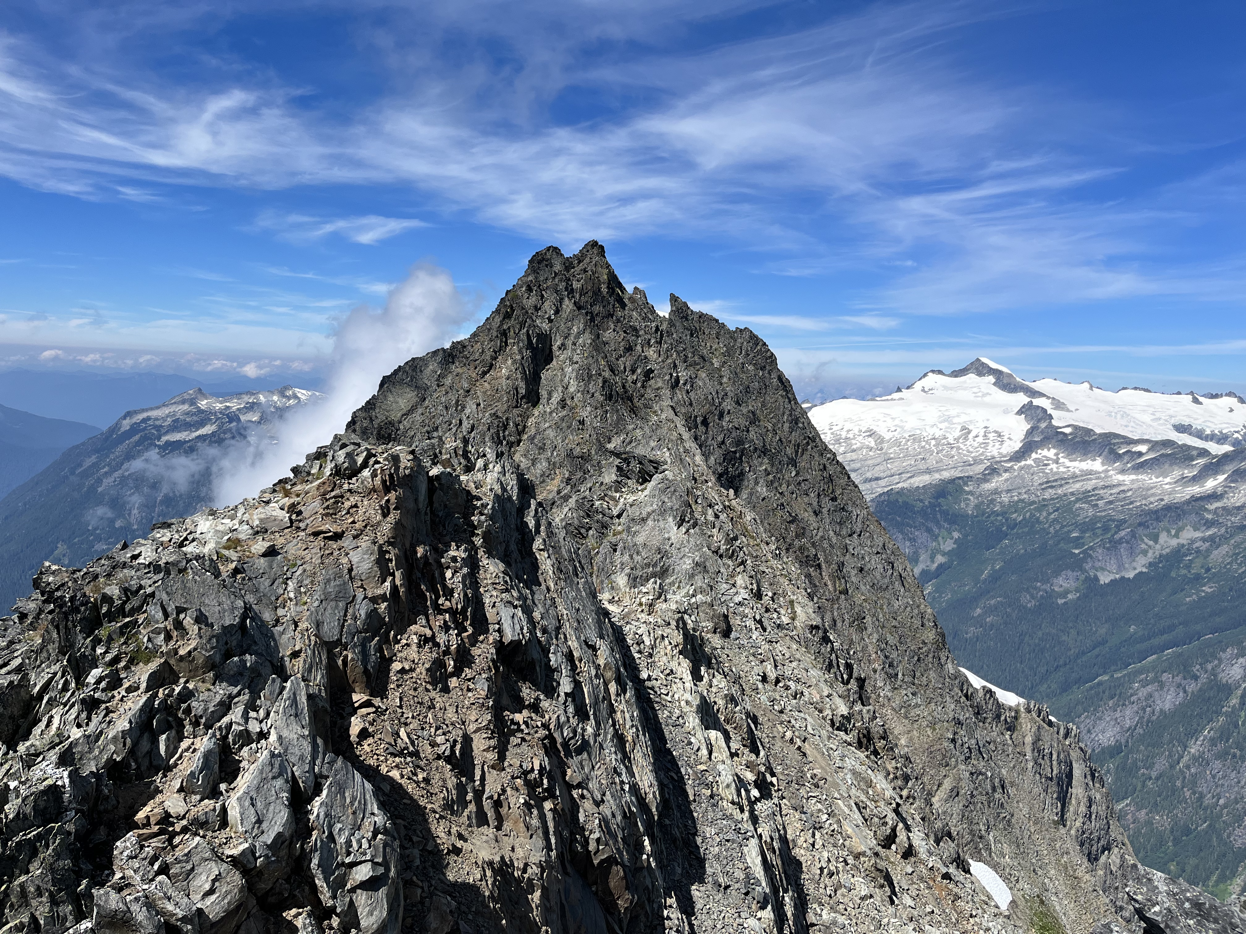
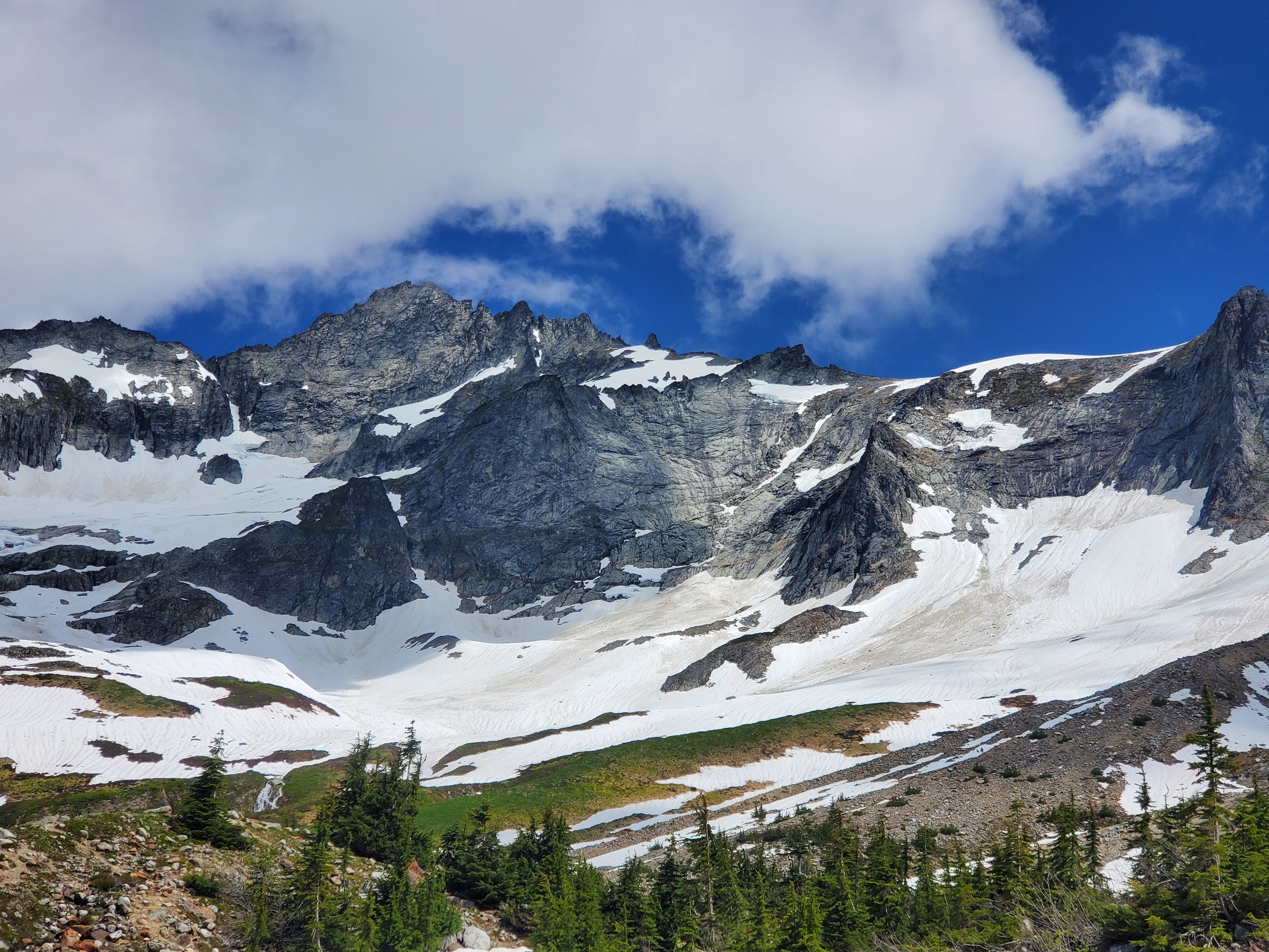
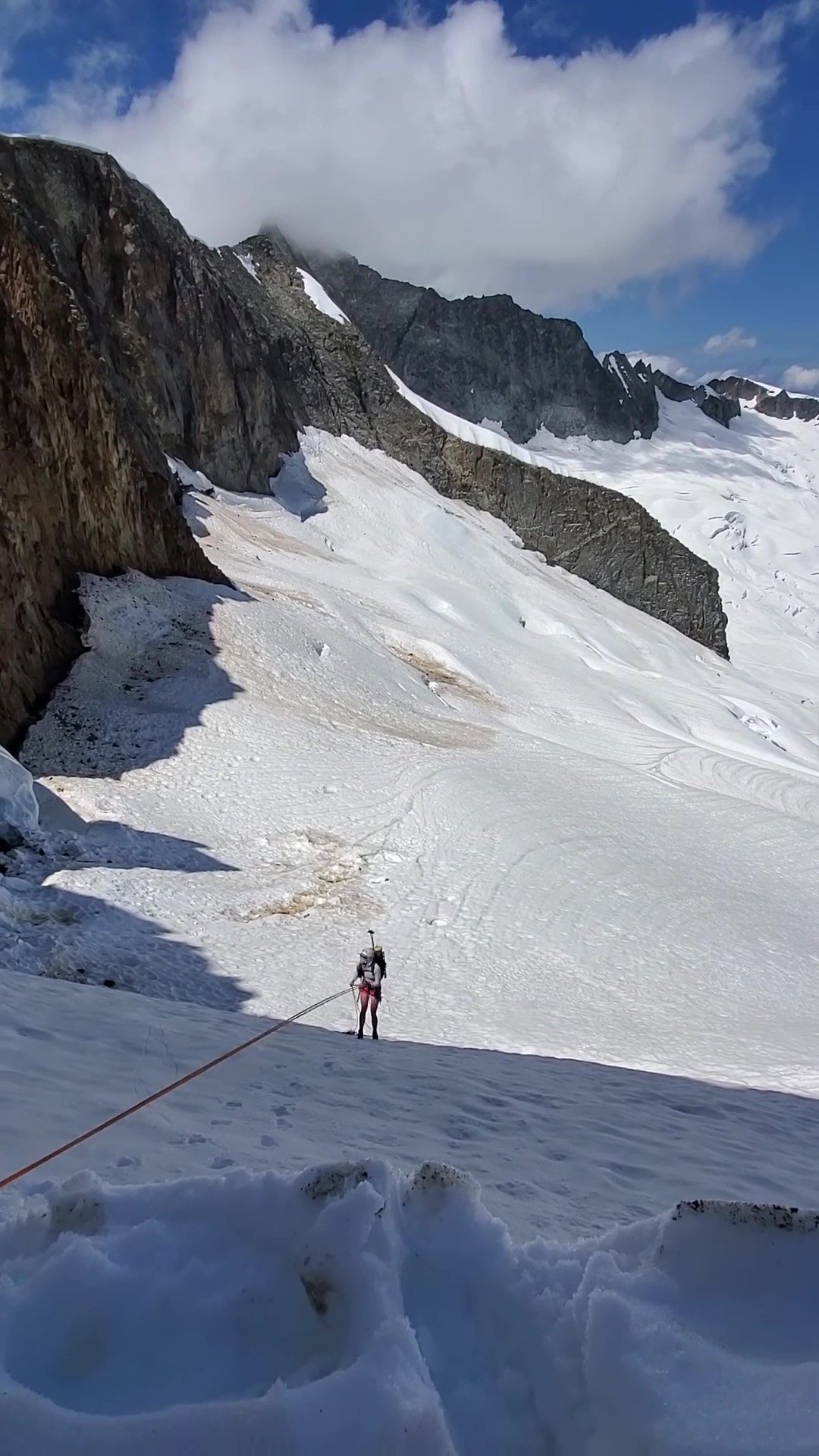
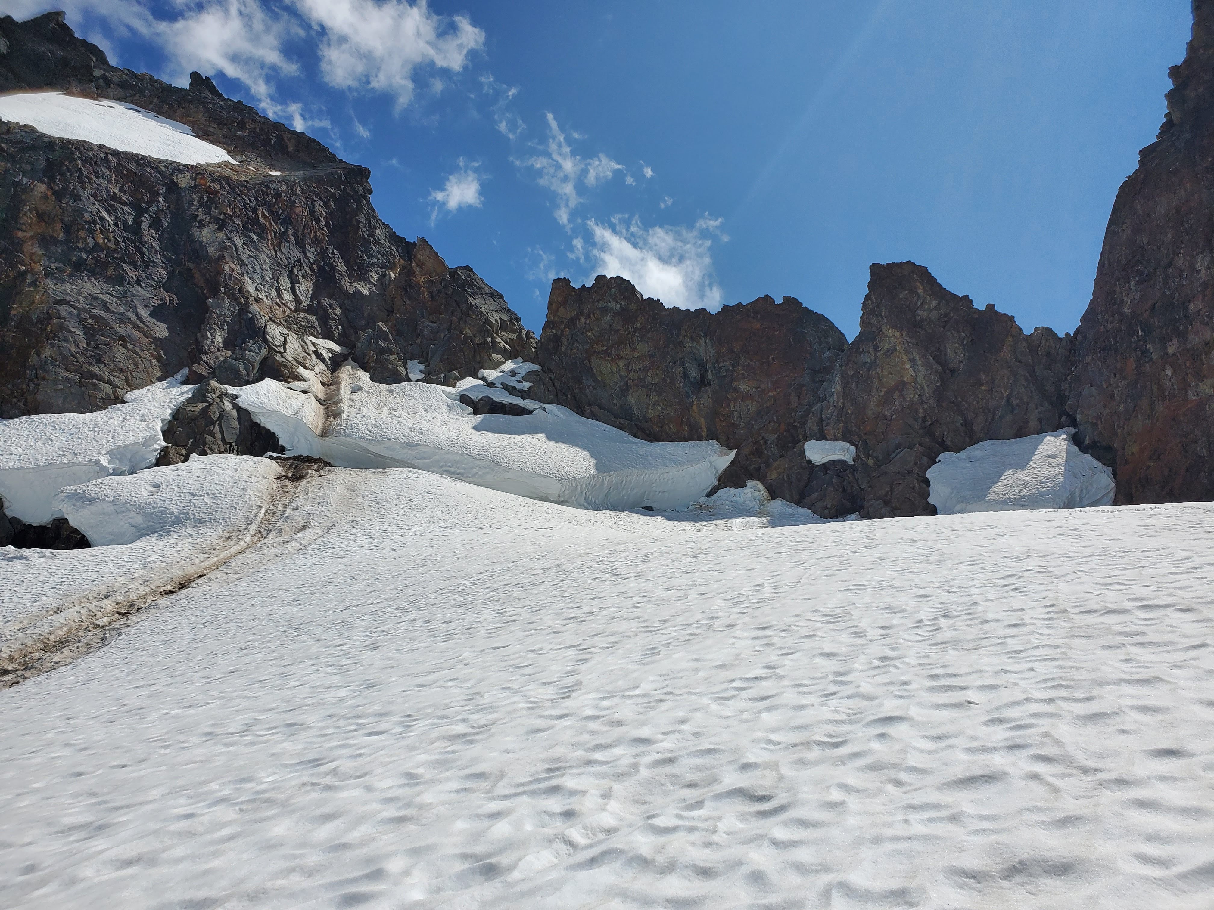
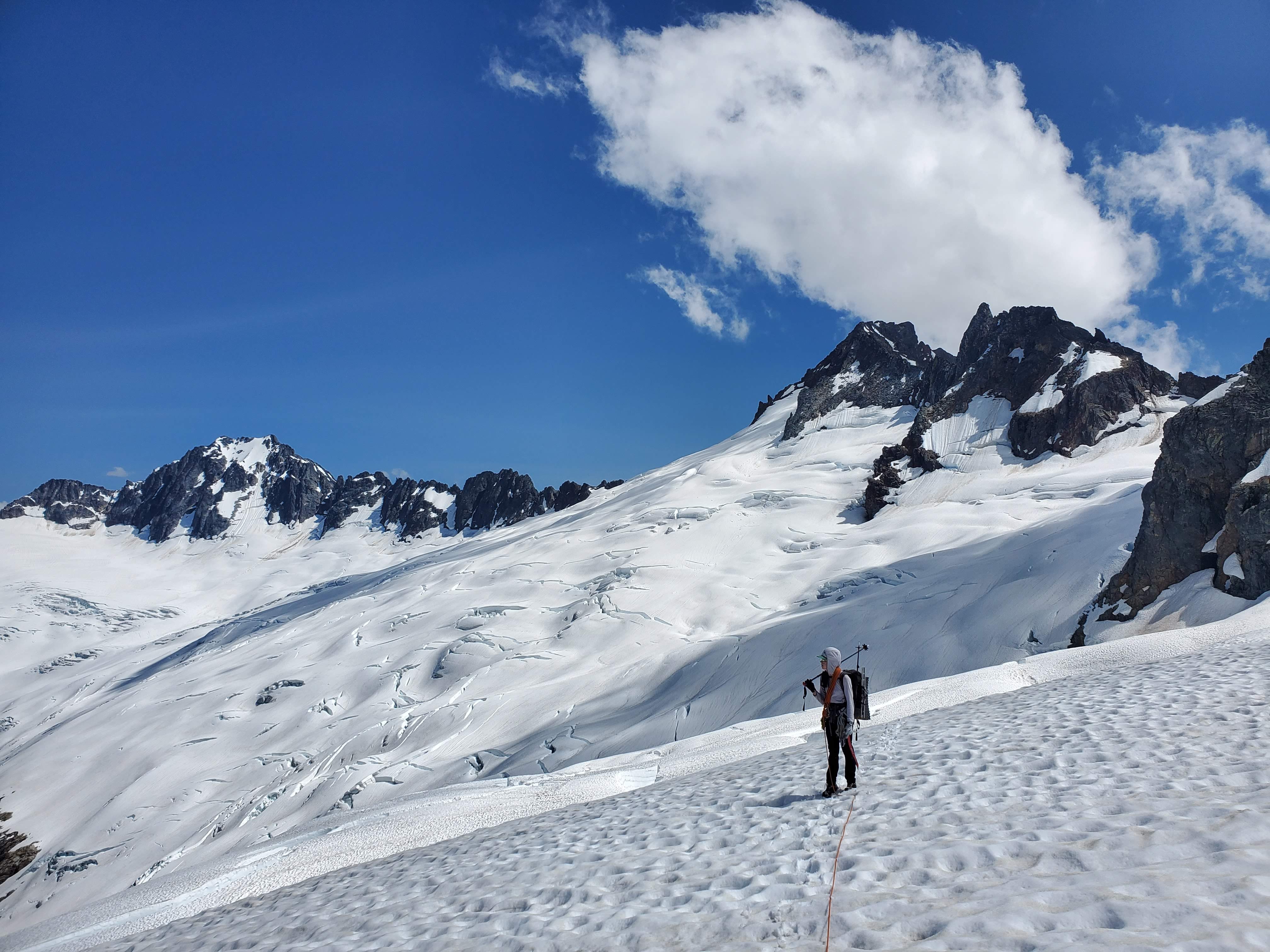
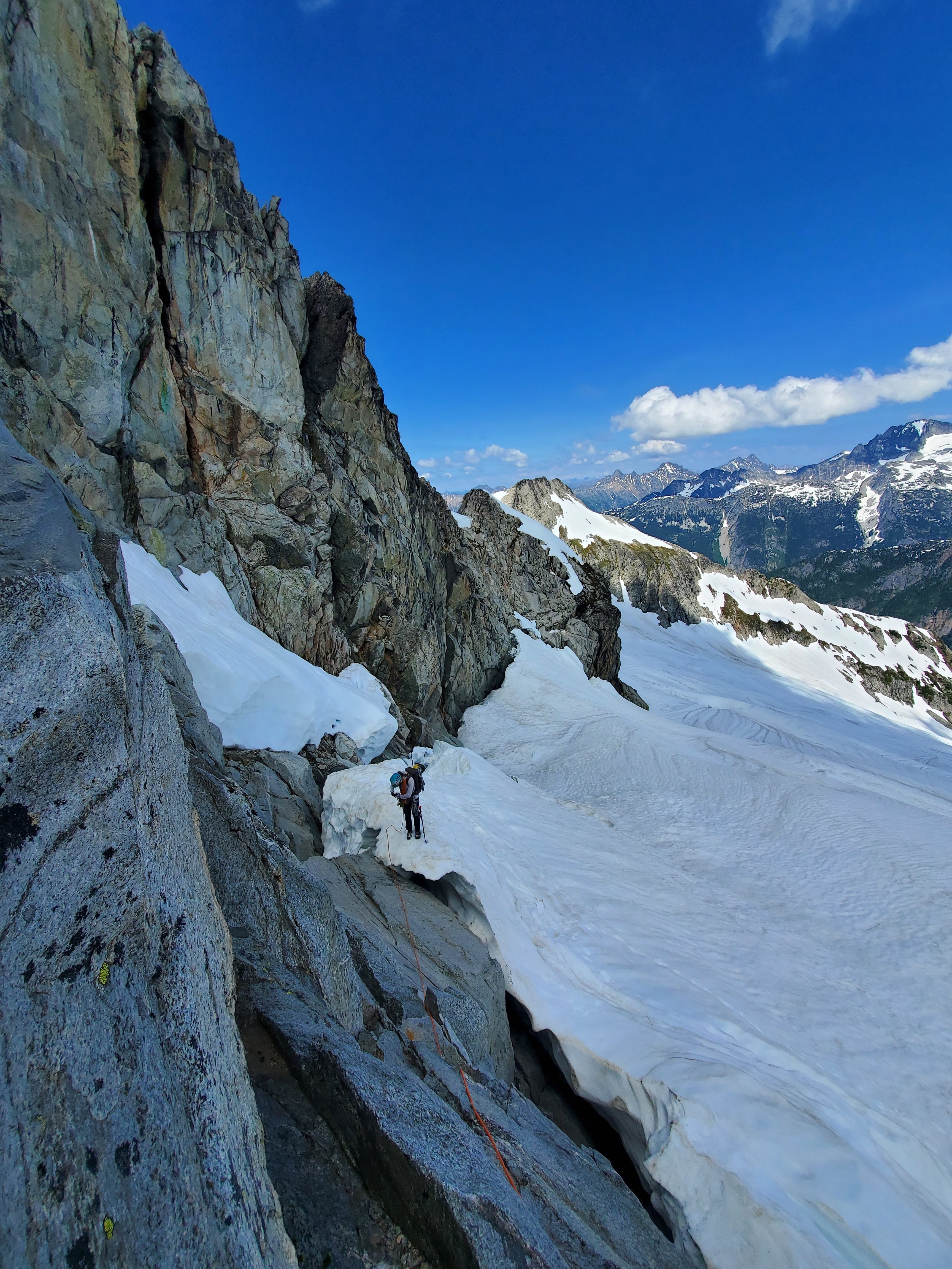
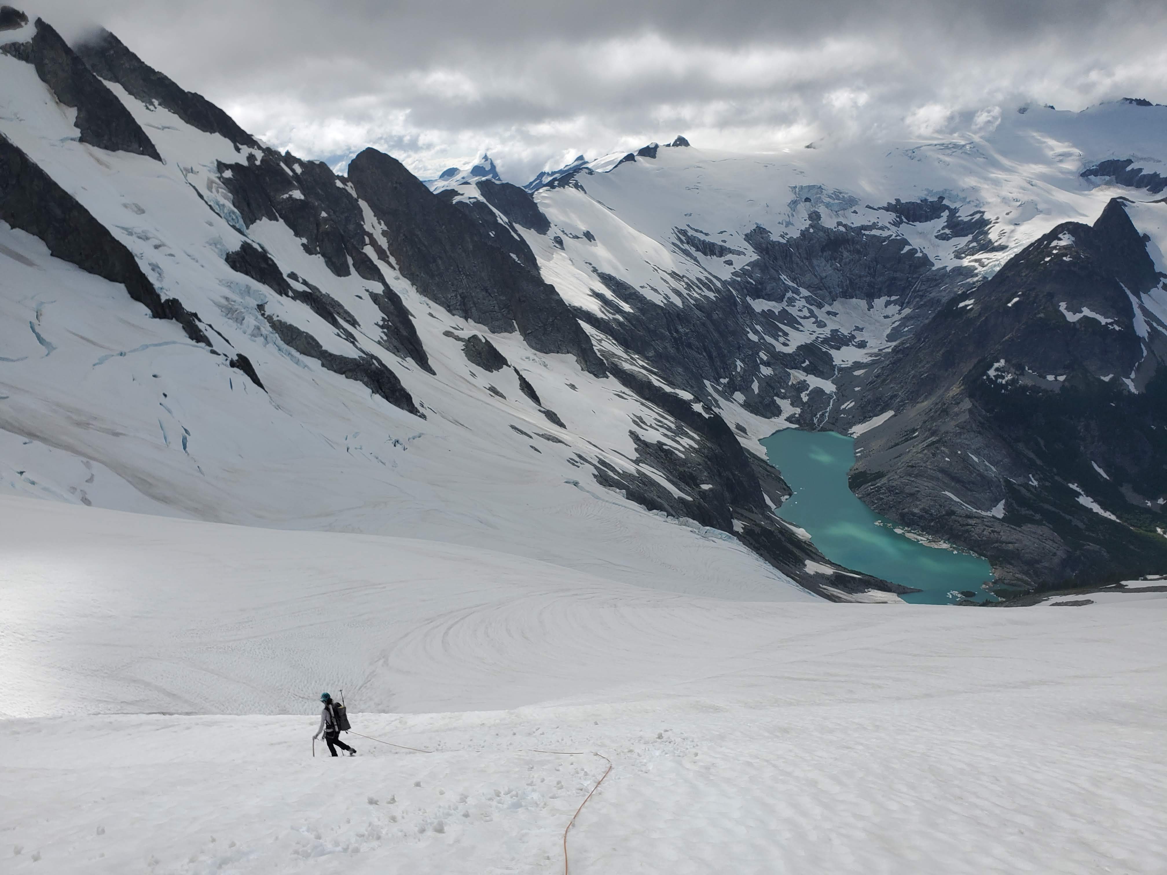
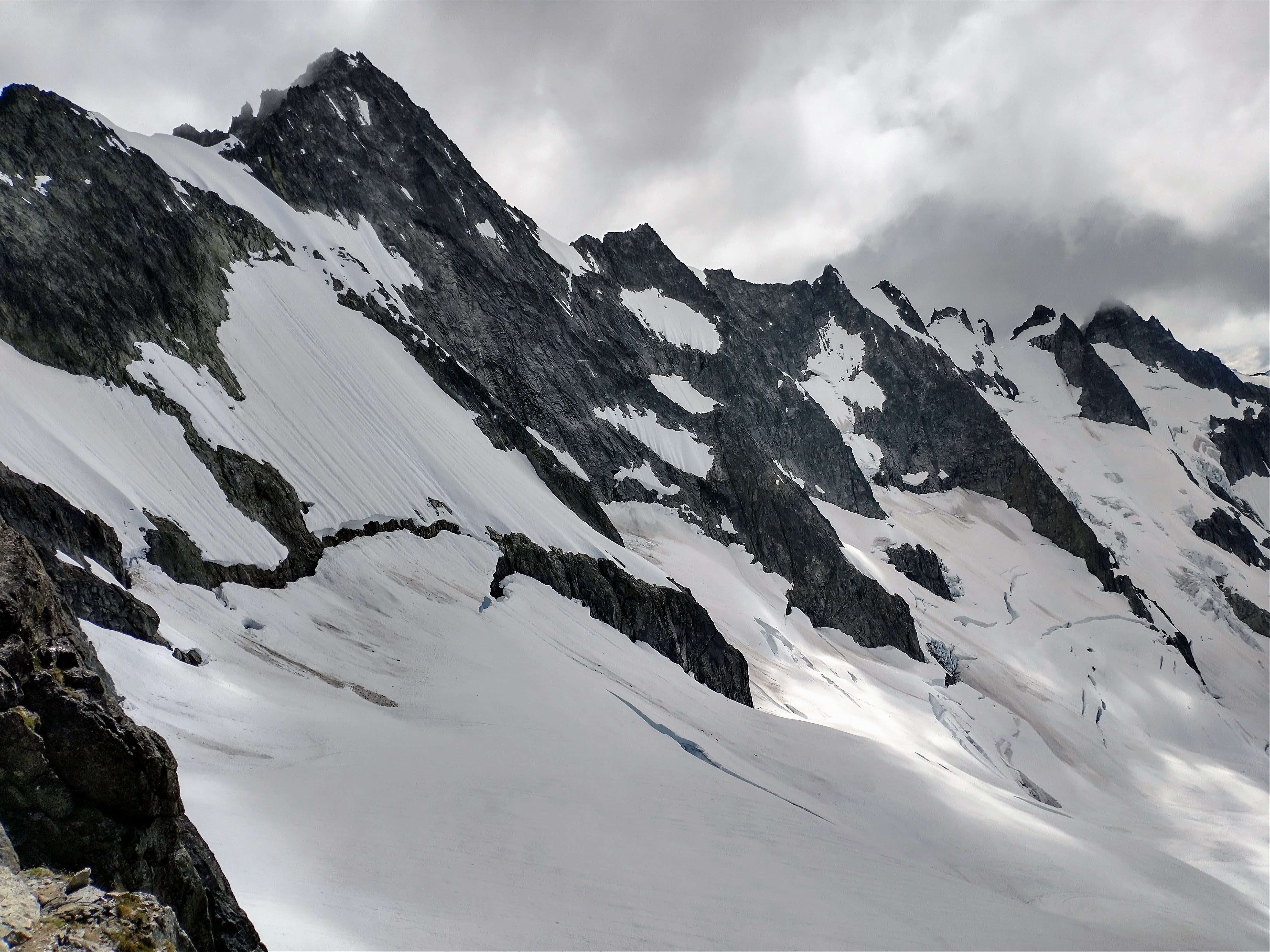
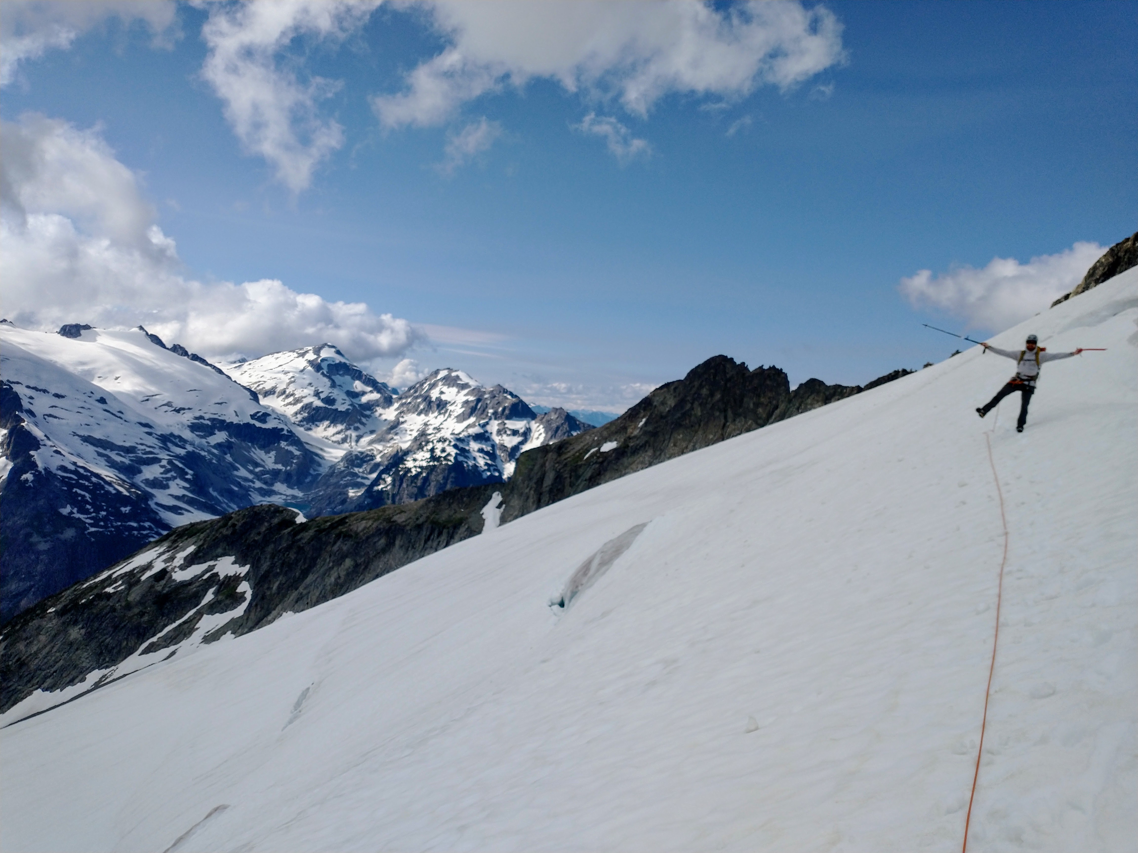
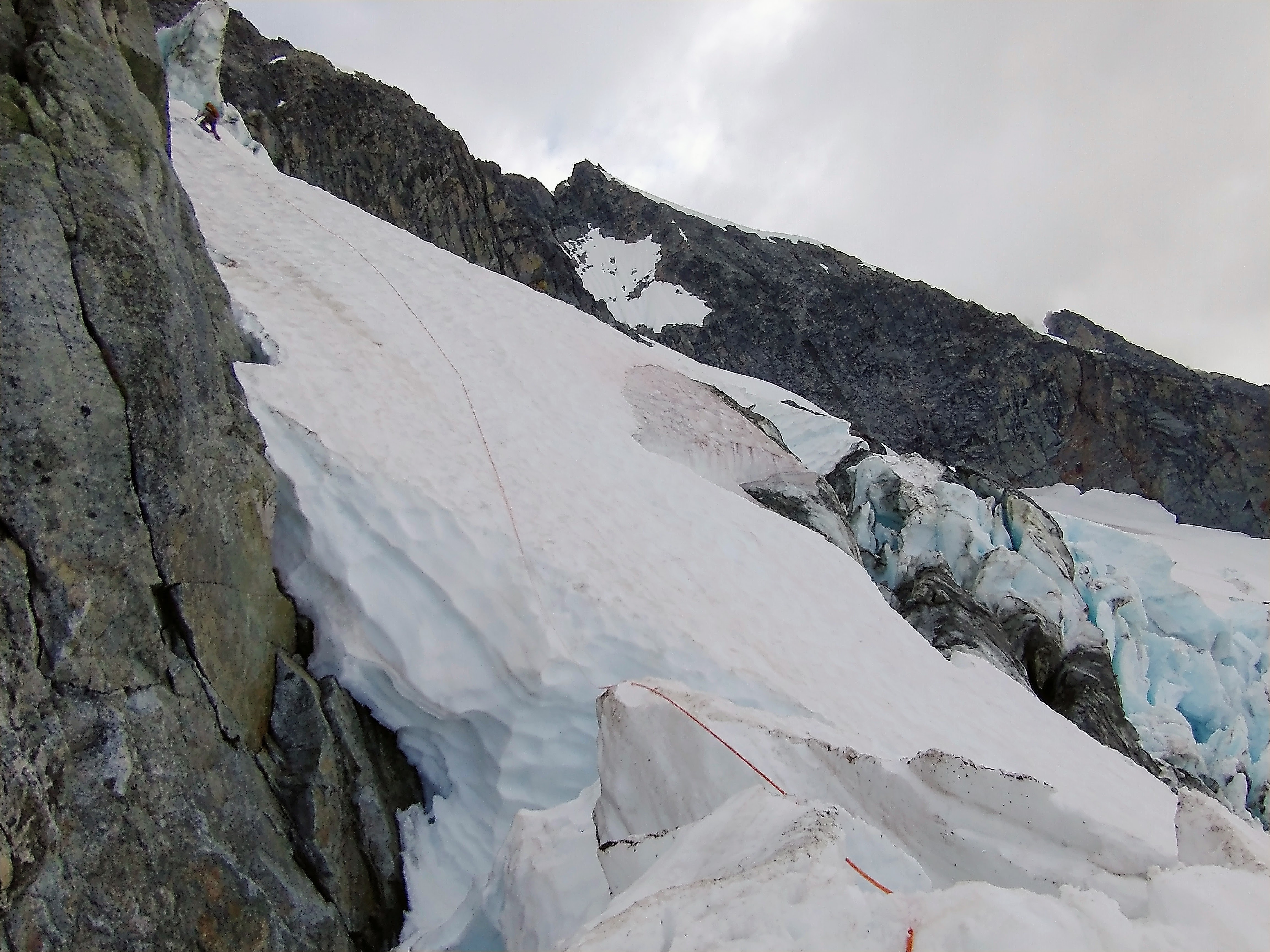
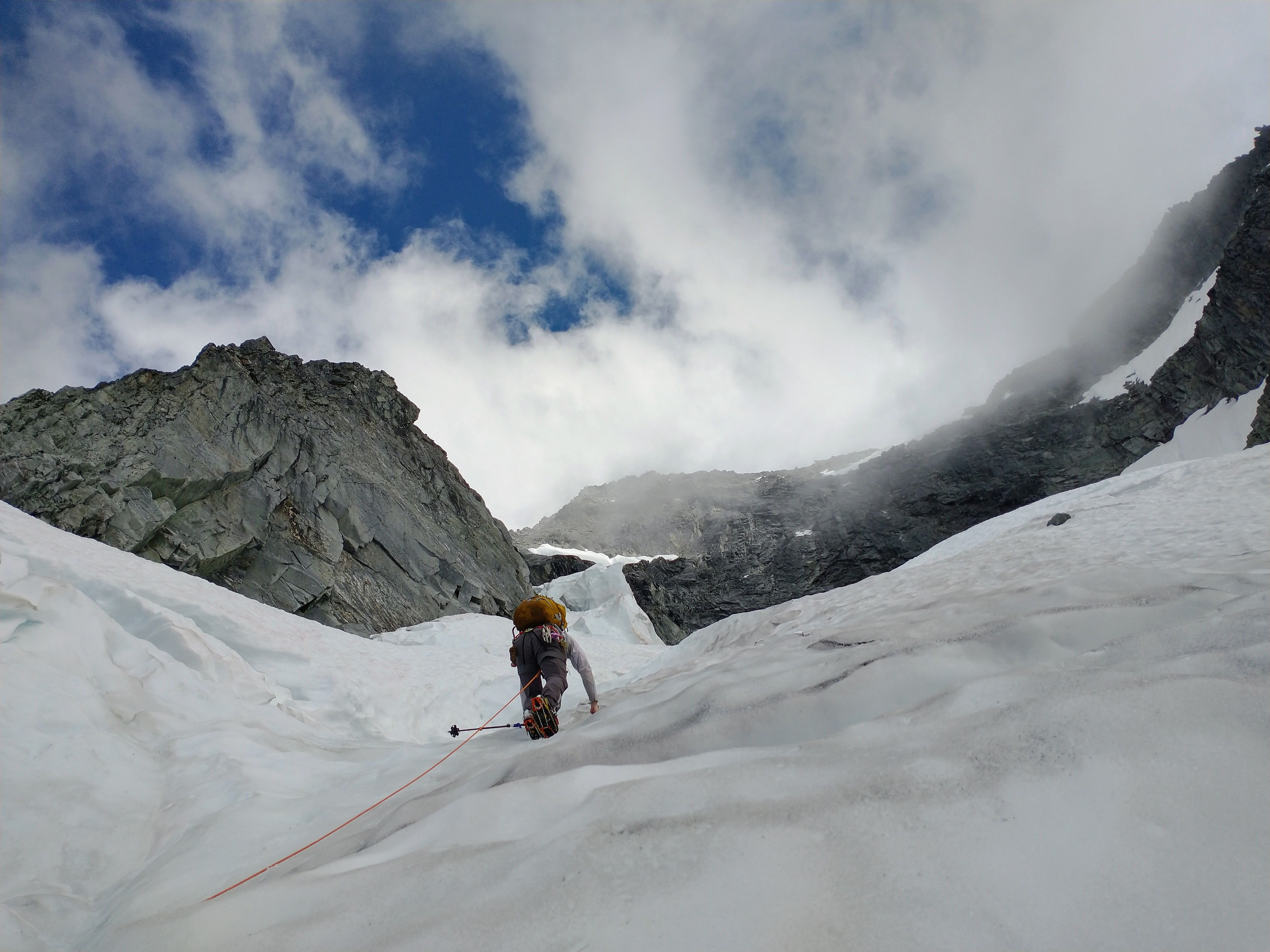
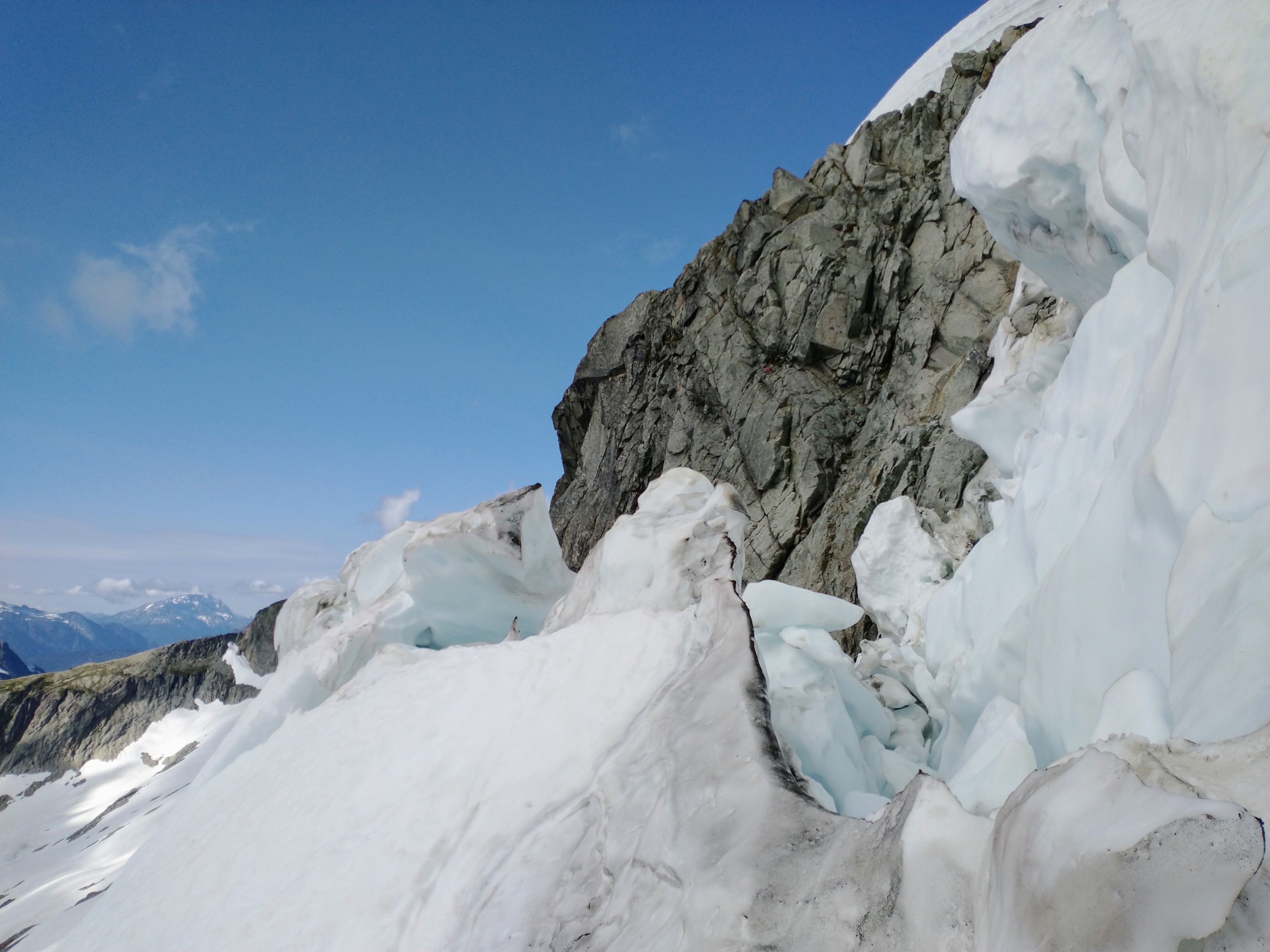
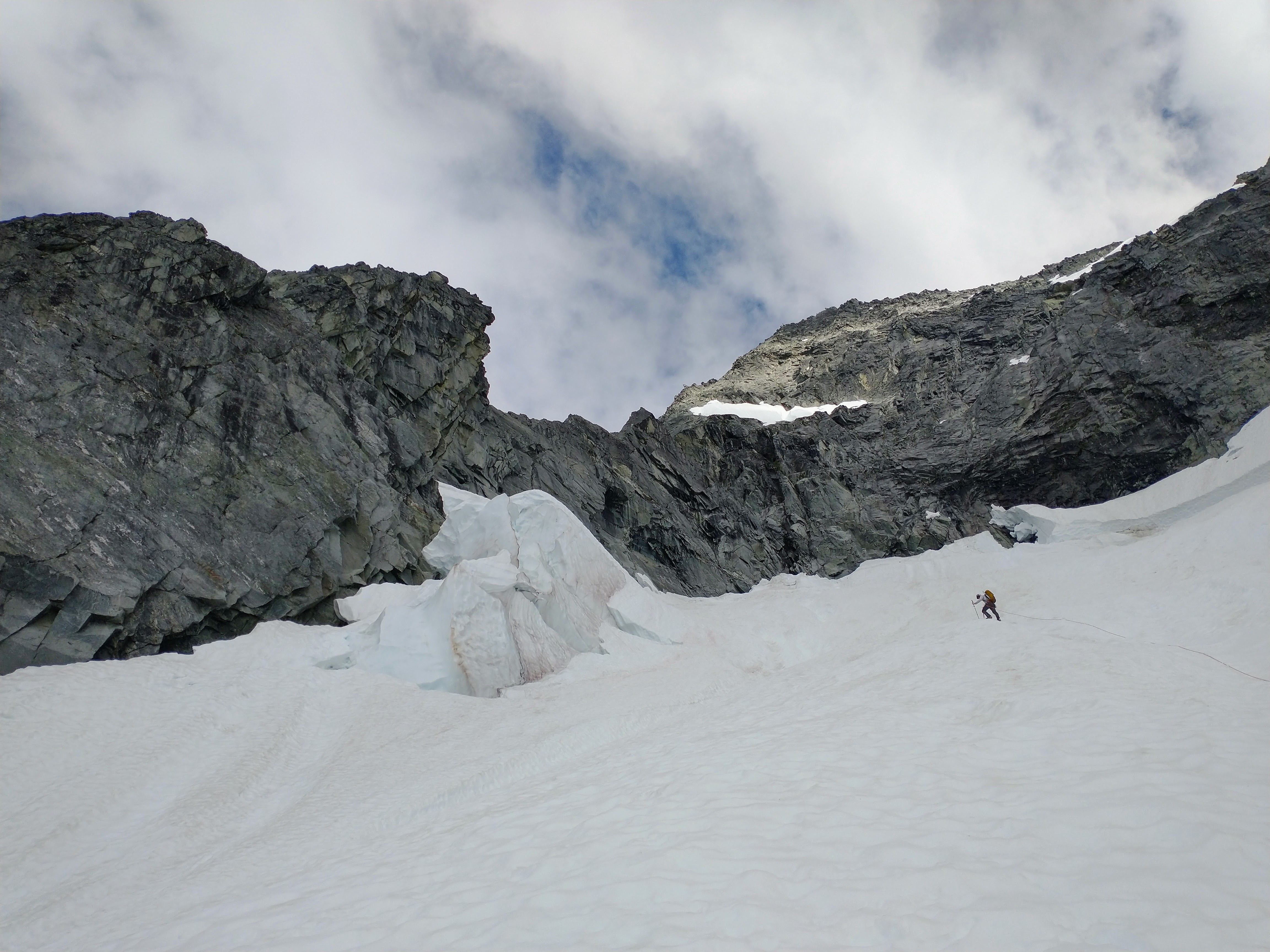
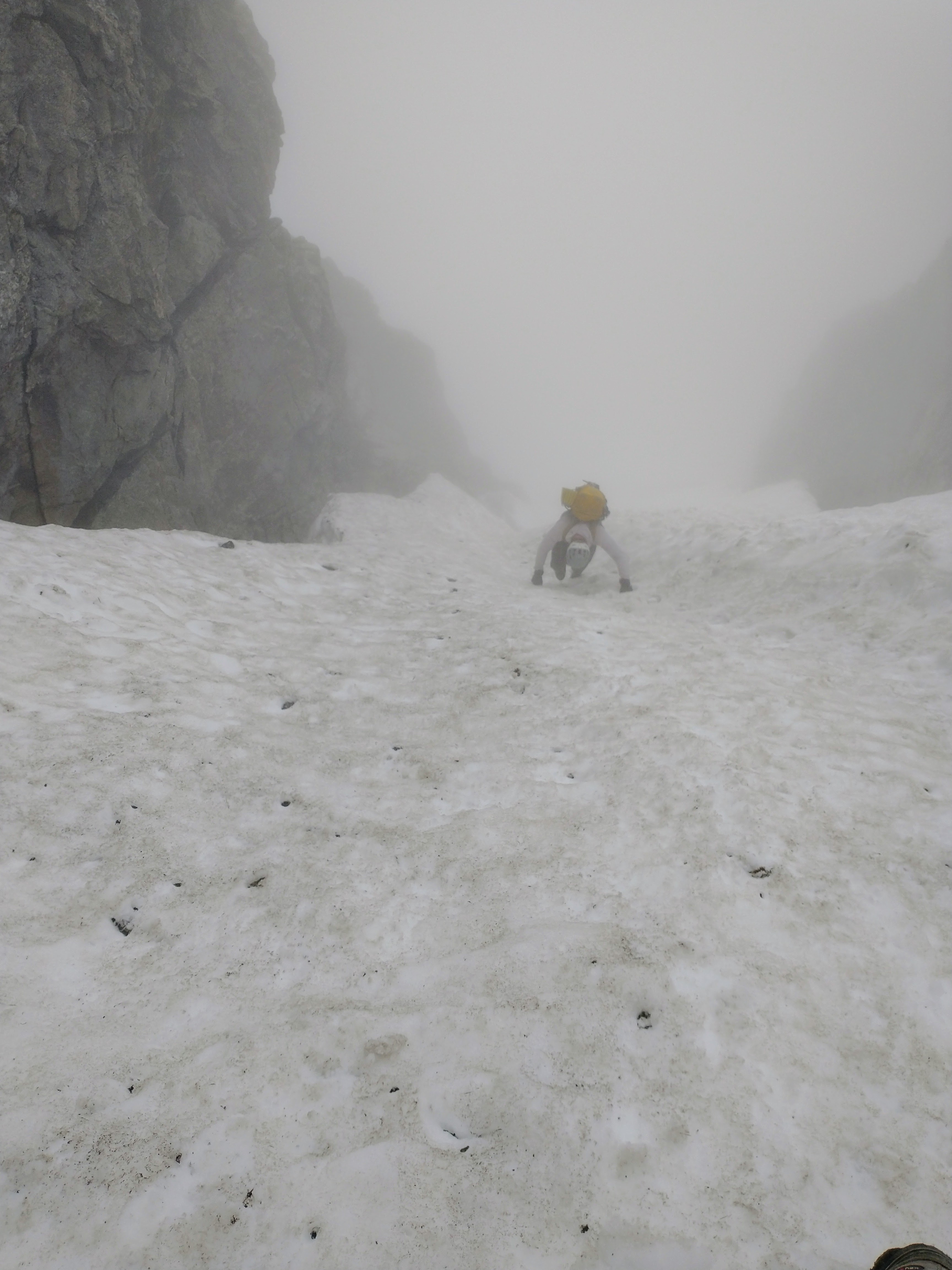
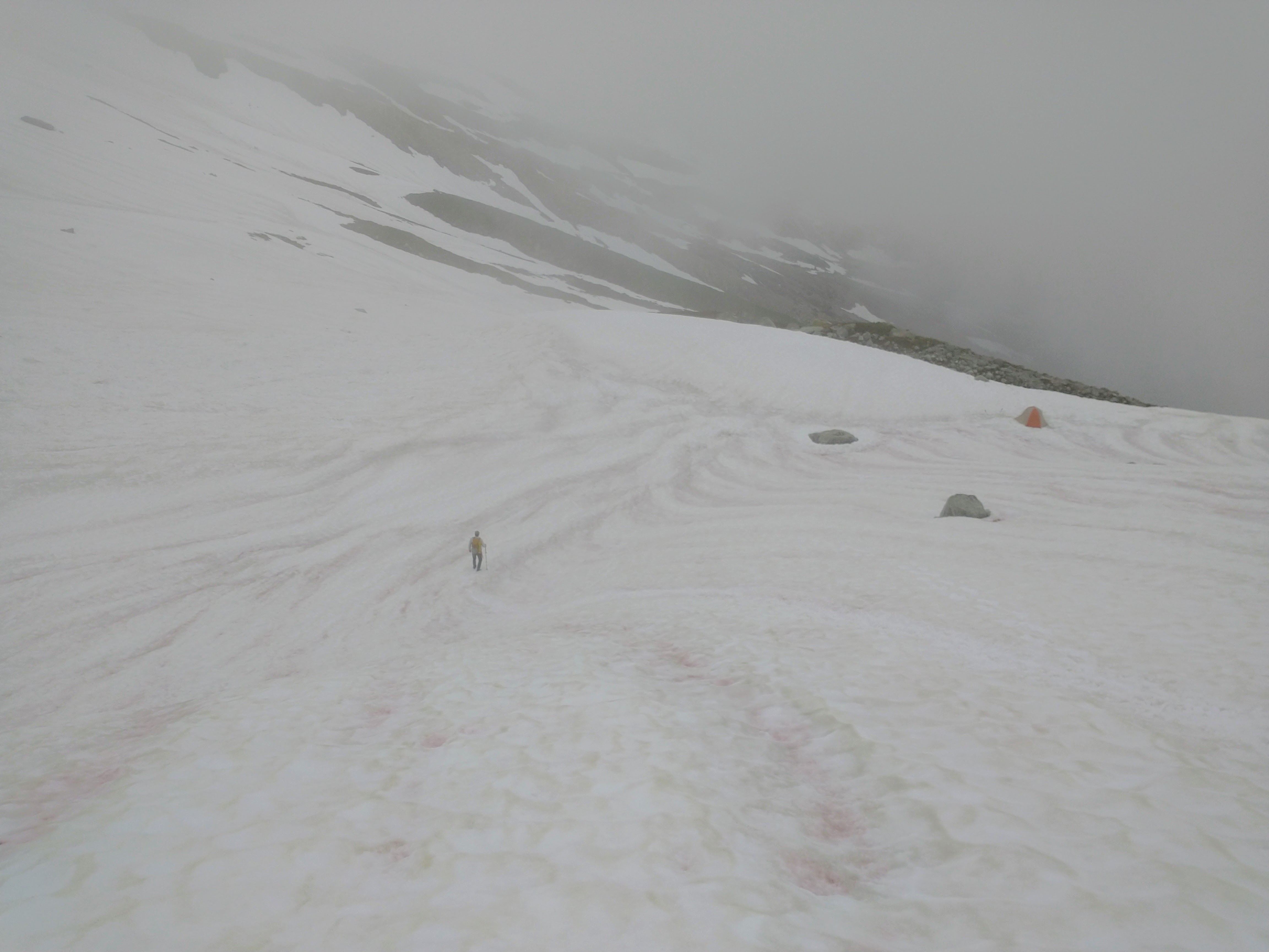
Trip: Mount Triumph - Memento Mori Trip Date: 08/29/2022 Trip Report: On Sunday, Duncan and I hiked out to Triumph with an open mind, and not quite enough food. We planned to repeat @rat & @lunger's east face route Memento Mori, but were open to more adventure if another line spoke to us. Turns out those jerks swiped the good one. The route was overall pretty high quality, with a good ratio of solid to portable holds. As far as we can tell, we followed their existing route except for pitch 5. Duncan build his belay at Tom's frayed rope (a single pink tricam girth hitched to a sling with the remains of a rope clove hitched to a non locker... yikes dude), which set me up for the hanging corner above. This roof went at probably 10- R due to an enormous moss clump that I had to face climb around on good, but unprotecable rock. The rest of the pitch offered little for pro, but enjoyable face climbing when the rock was good. My understanding is that Eric and Rolf belayed lower and face climbed up and right? Having pins made this belay feel comfortable, but are not necessary. Pitches six and seven are easy to follow and fun! Again, I used a beak to beef up the pitch six belay, but it was probably not necessary. Pitch Eight is the only one that didn't quite make sense. The FA description said to "Step left to a strenuous boulder move gaining another ledge". I walked left and scrambled around to said ledge at fourth class. However to the right is a short corner that looks like it goes at 5.9ish. I'm assuming that was just a typo, but would love to hear if we missed something. We chose to skip the alpine experience and descend the NE ridge sans shiver bivy, getting back to the car around 9pm for a full day out in the mountains. Approaching up P1 4th/low5th It's a big imposing wall! Pitch 2 is pretty spectacular Starting up P3 Starting up our P5 "Bet ya can get a turf stick with the alpine hammer" -Duncan Ralph I climbed hard right, up the face and back left into the corner. Can't say I recommend this variation. Duncan cleaned Tom's remaining gear. Future parties shouldn't rely on this for routefinding. Pitch 6 low angle corner P7 is straight up fun climbing! @rat & @lunger, did you climb this corner to the right? What a wall! Gear Notes: Double rack very small to #1 and single #2-#4, Full range of nuts incl. brass We used a long knife blade and #2 beak. I was glad to have them, but Duncan was indifferent. 70M rope would give you more anchor flexibility Crampons Approach Notes: Standard NE ridge approach. Access the glacier from top left and traverse over to the base of the route.4 points
-
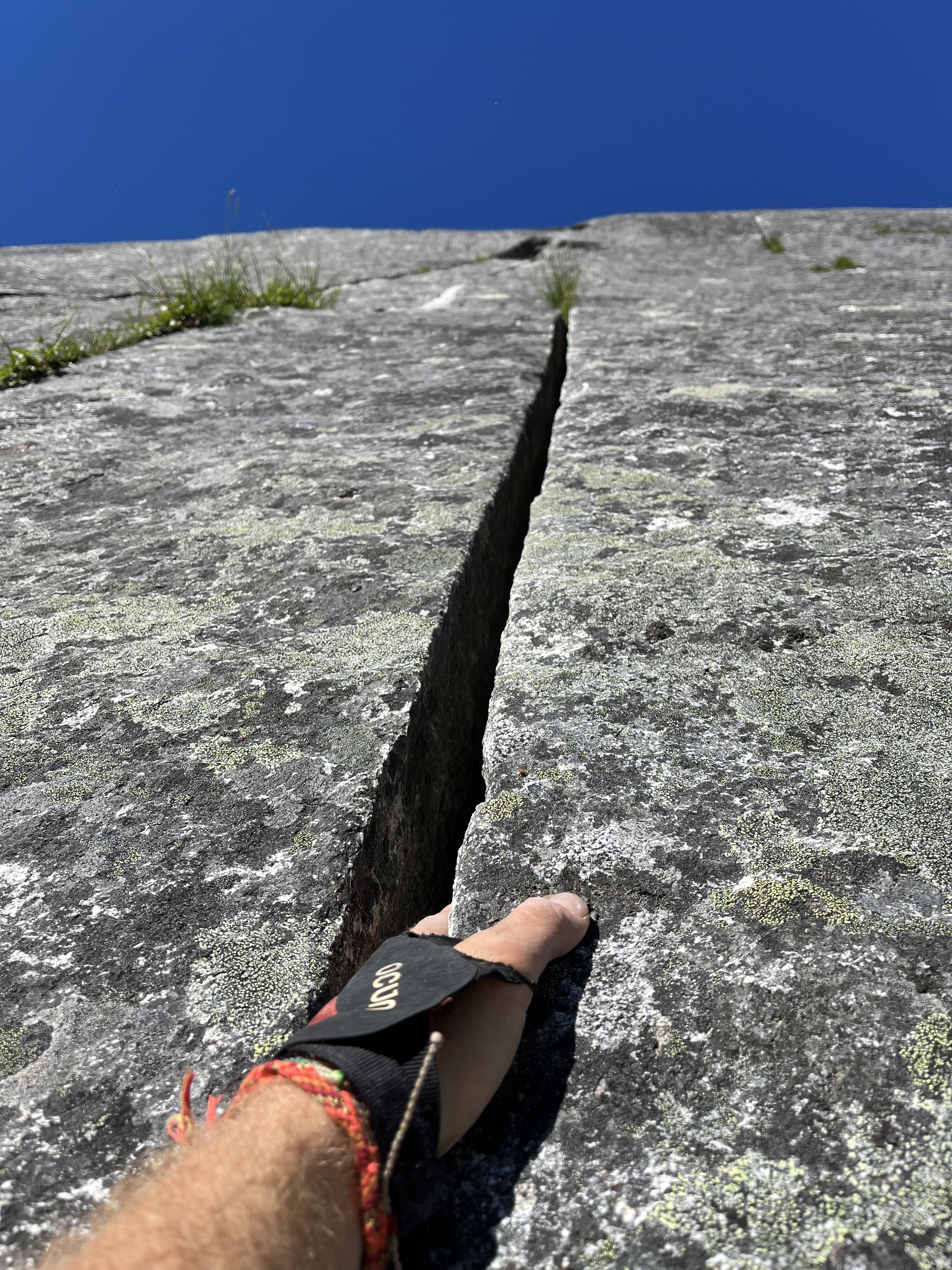
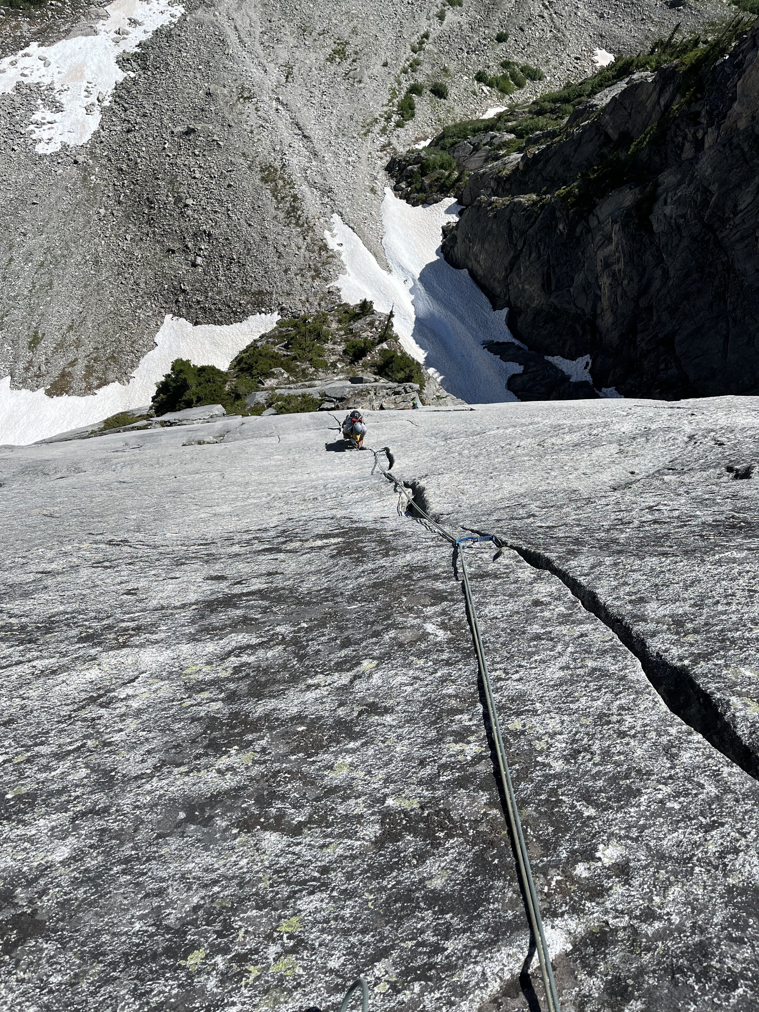
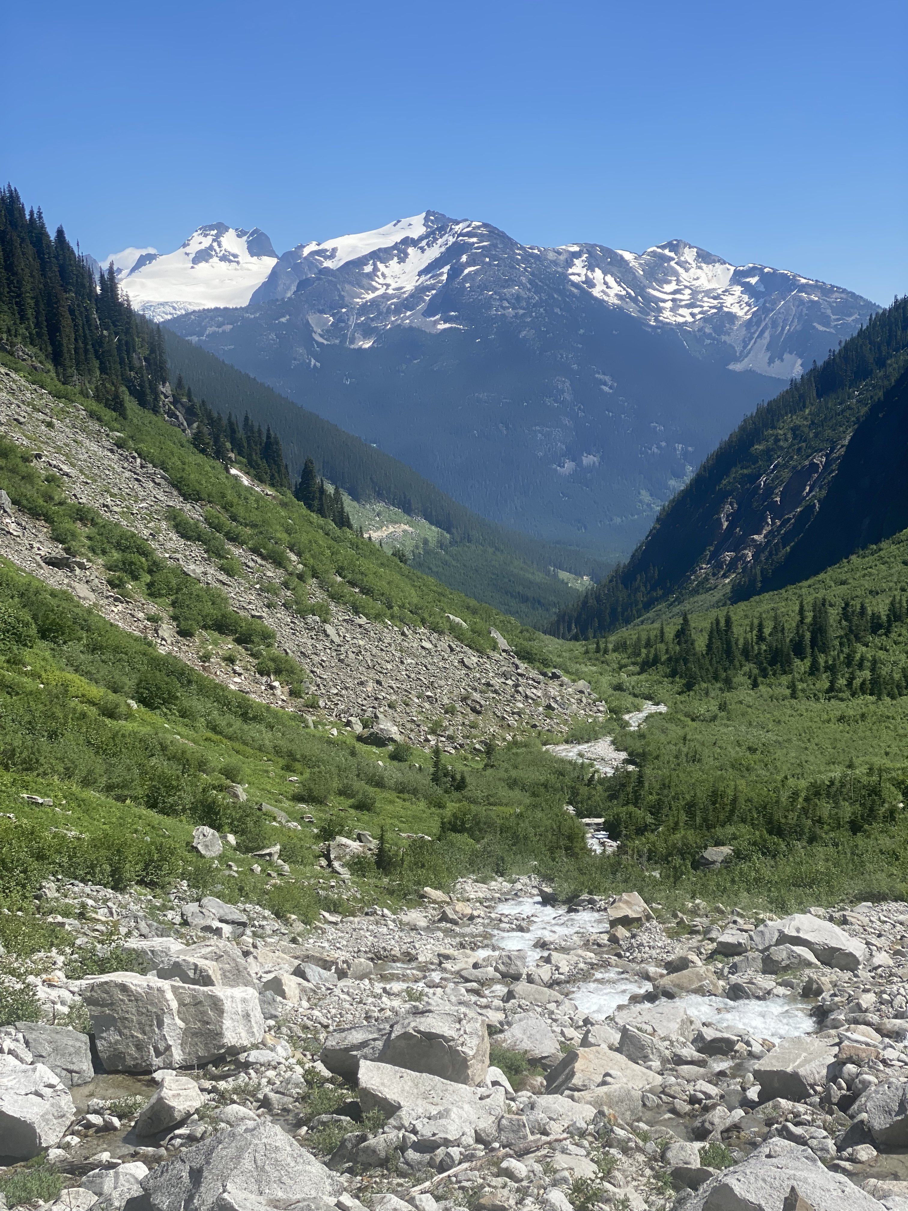
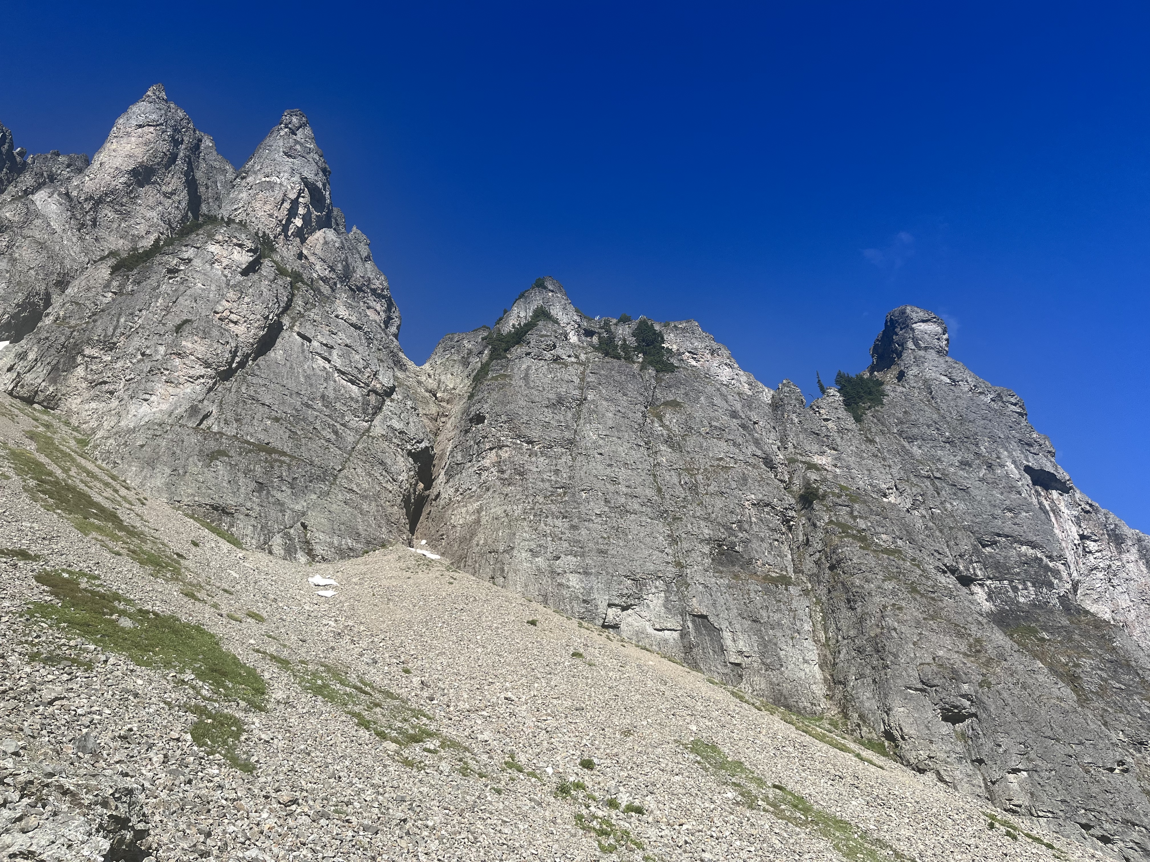
Trip: Joffre Creek - Mighty Mouse Trip Date: 07/25/2022 Trip Report: A brief TR for old times sake. Mighty Mouse fully lives up to the hype. The loveliest splitters you’ll ever climb, in a scenic alpine setting with a straightforward approach. the logging road, while getting a bit grown in, is in great shape and mercifully short. The approach trail, though frequently obscured by lush undergrowth, is a wonder. Could use some brushing and flagging but in amazing good shape. Approximately 2 hrs car to base at middle aged pace. the climb is stout. The first pitch is in your face and felt as challenging as the remainder of the climb. 10d/11a pitches all had short, hard cruxes with amazing crack climbing throughout. Excellent ledges for almost every belay with bolted rap anchors. The hand crack eats #2/#3 Camalots. Never climbed a better granite splitter. bring very small rps. We bailed off pitch 8 when partner took a fall and ripped gear. 11 hrs car-to-car. Something to go back for. was 98 degrees in Pemberton and tolerable on the climb in the sun thanks to a breeze. Shade after ~ 2 pm. Gear Notes: Very Small nuts and micro cams. Double rack with at least 3 #3s. Approach Notes: See Mtn project. Would be hard to follow in dark and you’ll get soaked in the am if temps hit the dew point.2 points
-
Trip: K2 - Abruzzi Spur Trip Date: 07/28/2022 Trip Report: K2 (28,261ft) Highpoint of Pakistan Second highest Mountain in the world July 28, 2022 Eric Gilbertson and Andreas Frydensberg No supplemental oxygen, independent unguided climb K2 as seen from basecamp June 13 – July 19 – Acclimate by climbing Broad Peak (26,414ft) July 20 – 22 – rest in broad BC after climbing Broad Peak July 23 – move to K2 BC in afternoon July 24 – climb to C2 6700m (I got hit by a big rock on the way up dislodged by descending climbers and was limping for next few days) July 25 – move to c3 7200m, evening summit plans thwarted by 20cm new snow so slept there in friends tent with only one sleeping bag July 26 – more unexpected snowfall, spend another night in c3 with no sleeping bags. We found an abandoned tent to shiver in all night. Food basically zero since we were delayed and ran out. July 27 – move to C4 7800m after weather cleared, then start up bottleneck 11pm in snow squall. July 28 – reach summit 8611m around 8am. We kept up with oxygen climbers most of the way. On descent I helped rescue two climbers near the bottleneck. Descend to c1 6000m in dark before a snow storm hit so stayed there for the night. July 29 – descend to K2 Basecamp 5000m July 30 – Aug 7 – hike out, drive back to Islamabad. Location of K2 K2 has a reputation as being the hardest mountain in the world. It is nicknamed the “savage mountain” and the “killer mountain”, and before this year it reportedly had a death rate of around 25%. K2 was first climbed in 1954, and by 2021 had only seen around 500 ascents. Many factors make K2 difficult. It is nestled deep in the Karakorum and takes nearly a week of trekking just to reach its base. In fact, it is so remote that there did not exist a local name for it. Surveyors gave it the name K2 for Karakorum 2, and the name stuck. It is the second tallest mountain in the world and the oxygen content is low enough at that height that most climbers will need to breath supplemental oxygen. Our route from Skardu The easiest route, the Abruzzi Spur, is very technical. The weather is notoriously bad with cold temperatures and extreme wind. I’m working on climbing the highest peak in every country on earth and K2 is the highpoint of Pakistan, so I needed to climb it. I’ve been working my way up increasingly higher and more difficult peaks over the years in preparation for a climb like this. Closer view of the route My first big peak was Denali in 2010. I gained more experience at high altitude and cold peaks with Mt Logan in Canada and a bunch of 6000m peaks in South America like Aconcagua, Ojos del Salado, and Sajama. I’ve gained technical experience over the years putting up a new 30 pitch rock route on Mt Nirvana in NWT, climbing a mixed route on Noshaq (7492m) in afghanistan, and a long ice route at altitude on Shkhara in Russia. Last summer, 2021, I started climbing 7000m peaks in Kyrgyzstan. I climbed Lenin, Khan Tengri, and Pik Pobeda via the Abalokov route. All this experience of technical climbing at altitude gave me confidence I could give K2 a try, though success would be uncertain. The Abruzzi Spur route on K2 The biggest unknown for me would be how my body would perform at altitude. The highest I’d been was 7492m on Noshaq in Afghanistan. I did fine then, and I’ve never really gotten altitude sickness before, but K2 was significantly higher and I’ve heard things get much more difficult above 8000m. Of course, I could always use supplemental oxygen on the summit, but that is very unappealing to me. The major difficulty of a mountain that tall is the height and lack of oxygen on the summit. By breathing supplemental oxygen you basically get around that difficulty, reducing the apparent altitude. I definitely wanted to climb K2 without supplemental oxygen. Some climbers higher a high altitude porter to accompany them to the summit carrying an oxygen canister to use just in case they need it. But this is unappealing to me compared to climbing without that porter and canister. I would consider the gold standard climb as not having any porters or sherpas supporting you with oxygen canisters. It also seems expensive and risky to use supplemental oxygen. I’ve had multiple friends climb Everest recently and have their oxygen system malfunction above 8000m. I’ve also read many reports of other climbs where oxygen systems froze up or just stopped working for different reasons. It sounds very dangerous to be stuck unacclimated at a high altitude with the supplemental oxygen system not working. Perhaps technology has improved now, but I am not necessarily convinced. To deal with the risk of a possible oxygen system malfunction it is a good idea to have someone along who is very familiar with debugging and fixing the technology. This means highering a sherpa or high altitude porter, which of course increases expense. The team in Skardu I also wanted to climb it unsupported above basecamp. People have recently started climbing K2 with sherpas carrying all their gear and setting up their tents and guides leading the way and making all decisions. I definitely did not want to get guided up and didn’t want anyone else carrying my gear up. Acclimation hike to Mazur Rock overlooking Skardu Of course, I still wanted a reasonable chance of success, and that meant climbing the standard route, the Abruzzi Spur. This meant climbing with a bunch of other climbers. Inevitably they would help break trail, and I was ok with that. Also, because there would be guided groups they would of course fix ropes on crux sections for the clients. I was ok with paying to use fixed ropes on the mountain, as this is very standard practice on peaks like this. It would be silly to climb next to a fixed rope and not use it. I had previously used fixed ropes twice before – on Denali near 14 camp and on the upper slopes of Khan Tengri. Rough jeep track past Askole For acclimation we decided to climb Broad Peak first. Broad is one of the easier and lower 8000m peaks and made sense as my first 8000er. We would climb the standard west ridge route without supplemental oxygen and with no support above basecamp. We could see how our bodies reacted above 8000m and hopefully learn lessons to apply later on K2. We planned to acclimate very slowly and thoroughly on Broad to give us the best chance of success on K2. I know I often get impatient and want to tag a summit quickly, but the goal on Broad was complete acclimation, not a quick summit. Hiking in to Paiju I found a conservative Broad peak itinerary listed on the summitclimb guided group website, and we planned to use this as our baseline itinerary. We would do three rotations progressively higher to 7000m before a final summit push. If everything went well on Broad then we would request a K2 permit and go for K2. If for some reason we had a lot of trouble with breathing above 8000m on Broad then we could always skip K2. Passing trango towers near urdukas camp Acclimating on Broad would also be much safer than acclimating on K2. For some reason this year many more climbers planned to climb K2 than in any previous year. Around 400 permits were issued for K2 and in the past at most around 60 climbers ever climbed K2 in one season. I’m not sure what caused the increased popularity this year. This many climbers makes K2 dangerous. Rockfall below c2 is notoriously bad, and more climbers means more rocks. Also, c1 and c2 are very small and there’s no way this many climbers can fit at once. By acclimating on Broad we would only have to go up K2 once instead of doing multiple acclimation rotations. This would minimize rockfall exposure and time fighting for campsite space. Concordia Finally, it was likely that whenever we summitted Broad would coincide with the first summits on K2 (they are right next to each other and would likely have the same weather windows). We hoped that a majority of climbers would summit K2 in this first weather window and soon leave the mountain. Our strategy would be to wait for the next weather window ( if it occurred) and push for the summit then. Hopefully then the mountain would be free of climbers, rockfall danger would be minimal, campsites would be available, and there would be no waiting in line behind inexperienced guided climbers. Me at broad basecamp, looking back at k2 For logistics we wanted to go as cheap as possible to get our permits and get ourselves and our gear to basecamp. We went with Alpine Adventure Guides with Ali Saltoro and I could not have been more pleased. He is the cheapest operator for 8000ers in the Karakorum as far as I can tell and takes care of everything from the time you land in Islamabad to basecamp. He organizes all the permits and porters and transportation and you get a basecamp staff to cook meals down in basecamp. But you are completely on your own above basecamp. Ali is very well-connected with people in government and the military and if you need anything done he is the best man to talk to. He also knows tons of information on climbing history in the area and which peaks and routes are unclimbed. Some climbers pay up to $95,000 (Madison Mountaineering) for a guided climb up K2, but we paid just $4,800 for permits and service for Broad peak plus $2,000 for a K2 permit. One final piece of logistics is we needed reliable weather forecasts. In the past I’ve had friends inreach message me forecasts from online sites like mountain-forecast.com, but this is not super reliable. If our weather forecast is wrong it can cost a lot of time in failed summit attempts. This year and the past few years we’ve paid a professional meteorologist, Chris Tomer, to give us daily forecasts. Chris gave us forecasts last year on Pik Pobeda and Khan Tengri and was extremely accurate. He also previously forecast for the successful first winter ascent of K2 (by Nims and team in 2019) so we knew he knew the area well. He would send daily forecasts to my inreach as with last summer. Looking over camp towards Concordia With all the logistics sorted out I made one final decision, and that was to not tell anyone I was planning to climb K2. I know many climbers spread news about their plans far in advance to try to get sponsors and increase publicity, but I’m a fan of the climber mantra “send before you spray”. It seems weird to me to get publicity for something you haven’t yet done but are only planning to do. But more importantly, I didn’t want any external pressure to affect my decision making on K2. If I told a bunch of people in advance I was planning to climb K2, then I might feel pressure to push for the summit in dangerous conditions to not disappoint them. If nobody knew I was trying for K2, then I would have no reservations turning around if conditions weren’t right. Broad peak from camp So I said my plan was just Broad peak. If I didn’t do well at altitude on Broad I could always skip K2 with no shame and nobody knowing. The only people that knew about the possible K2 plans were my climbing partners Andreas and Marie and Ali Soltoro so he could get the permit if we needed it. I departed for Pakistan June 13 a few hours after submitting my final grades for Seattle University. Between June 14 – July 8 we flew to Skardu, took jeeps to past Askoli, trekked in to Broad basecamp, and did several rotations. Cramped camp 1 on Broad On July 8 we tried to summit Broad peak, and Andreas and I broke trail by ourselves all the way from c3 at 7000m to the col at 7900m. But then a storm rolled in and we had to retreat. We had felt ok at 7900m, even breaking trail, and thought that was enough data to convince us we could attempt K2 without oxygen. So back at basecamp we contacted Ali to complete the paperwork and payment for K2 permits for us. I hadn’t realized previously, but it is not normal to request a last minute K2 permit like this and is not easy. Most climbers get this permit months or a year in advance. The government wanted to send in a new liason officer from Islamabad for this, but that would take much too long. Ali made lots of calls and pulled strings, and our liason officer Zishan was also instrumental in helping us out. In the end we got the permit in just 5 days, as Ali had told us would be the case. Looking down from C2 on broad peak One day while waiting for good weather we walked up to K2 basecamp and talked to a few climbing teams. We talked to Marie’s Estonian friend Krisli at Madison Mountaineering and she said they were looking to go for the summit July 22. Interestingly, Madison had a ratio of two guides and 11 sherpas per client! I think they were on one end of the support spectrum and we were on the other. We heard Elite Expeditions led by Nims was guiding up the princess of Qatar, but she was kind of reclusive and we never saw her. I bet she had the absolute highest level of support. First summit attempt on broad looking down from c3 We also talked to Dawa at Seven Summit Treks and he was super friendly. I knew they had fixed a lot of rope on the route but he said we could use it without paying. He gave us a bottle of coke and we talked for a while until he needed to get back to work coordinating clients. On July 18 in the next weather window we summitted Broad peak, the fourth and fifth climbers of the season (since there were no fixed ropes at the top the guided groups had all turned around without summitting.) We made it back to basecamp July 19 and started our rest. We had essentially done five rotations up Broad peak, twice tagging near or above 8000m, and it seemed like our acclimation was very thorough. It was perhaps even more helpful for our K2 attempt that we had required two summit attempts on Broad, since this gave us another rotation. Second attempt on broad, approaching the false summit I was coughing a lot, but I knew from recovering from our first Broad attempt that it was not serious and would gradually go away. Climbers call this the Karakorum cough, and both Andreas and I had it. I think it was a result mostly of the dry air at altitude and me being dehydrated from the climb. Unfortunately for us there had not yet been any K2 summits, and we really needed to wait for the main wave of climbers to go up and down so the peak could clear out and be safer. We definitely did not want to get tangled up in a 400 person stampede for the summit. On Broad it had just been me, Andreas and our friend Bartek on the summit with three friends later reaching the top. Six people total summitting all day was a safe and reasonable number. Andreas on the summit of broad with k2 in the background We rested for a few days reading, sleeping, and eating a lot. Fidali and the cook team prepared tons of excellent food for us every day. The weather was great those first few days and I felt a bit bad sitting in basecamp, but I knew rest was important. After dinner july 21 just as it was getting dark I noticed headlamps high up on K2 above c4 on the shoulder. This was the highest I’d seen headlamps all summer. Later after 10pm we saw them progress above the bottleneck and we figured it must be a rope fixing team. This was great news since that meant the first wave would be going up soon. Me, Andreas and Bartek on the summit of broad Indeed, we later learned a team of five strong sherpas from Madison Mountaineering and Seven Summit Treks fixed lines from c4 that night, reaching the summit around 10:30pm. I was surprised they would go completely at night, but I suppose this was so clients would have time to follow and summit by sunrise. As the sherpas neared the summit the rush was on. Clients from Madison Mountaineering started up just before the sherpas finished, trying to be at the head of the pack. They ended up summitting at 230am, well before sunrise. Behind them was a huge lineup of between 150-200 climbers (I heard different estimates based on who I talked to). Apparently everyone was using supplemental oxygen except three climbers – Nims, a pakistani porter, and one more person. Everyone I heard of was part of a guided trip. Descending to basecamp The guided climbers with oxygen could get by doing just one acclimation rotation in advance up to 6800m before doing a summit push while climbers without oxygen would have to do at least three rotations to properly acclimate like we did. Thus climbers using oxygen could more easily summit in the first wave since they didn’t really need to acclimate as much while climbers not using oxygen generally had to go in a later weather window like us. I heard many climbers started using oxygen at c2 at 6700m, which means they had to have many oxygen containers hauled up for them by sherpas and porters to cover the rest of the climb. I later saw a video (by Mingma G) of a traffic jam just above the bottleneck and it looked agonizing. I’m very happy we weren’t tangled up in that. It sounded dangerous to be stuck in the lower section of that traffic jam in the bottleneck below a hanging glacier. The safest thing to do in that zone is to move as fast as possible. But, it was excellent news that most climbers would soon clear out from the route. We soon started making plans for our summit bid. We figured if everyone summitted on the 22nd, then they should be able to make it down to basecamp by the 23rd. So by the 24th the mountain should have cleared out. Chris said there was a little bit of snowfall expected on the 25th but there would be a second weather window the 26-28. Then by the 29th the jet stream would hit the summit with heavy snow and the climbing season would likely be over. From talking to guided clients it sounded like the standard summit push itinerary is to climb to c1 and sleep, then c2, then c3, then c4, then summit. This sounded way too slow, though. On our Broad peak summit push we had climbed directly BC to c3 (4800m to 7000m) then left for the summit directly that night. So almost a single push. A helicopter evacuation from BC. These were surprisingly common. I heard rumors some climbers faked injuries to get a free flight out. Otherwise the flight is $30k usd. Some rich climbers just paid to fly out. I’ve found that I generally don’t get a good sleep above 7000m, so we thought maybe we could skip camps and also avoid sleeping up high on K2. We were used to skipping camps on high peaks (for instance on Pobeda last summer on the Abalokov route we skipped every other camp). So our plan was to climb BC to c2 (5000m to 6700m) the first day, then leave the overnight gear at c2 and climb to c3 at 7300m the next morning, rest a few hours in a friends tent, then push on for the summit at 8pm. This would allow us to go fast and light above c2 and not try to sleep above 7000m where its difficult to sleep anyways. It would put us at c4 at 7600m around 11pm, which is the time our friends recommended starting up for the summit anyways. Then after the summit we would descend back to c2 to sleep. This meant in total we would just need to pack three days of food. The weather was supposed to be clear the morning of the 26th, so it seemed like a reasonable schedule. From my experience on Broad I knew I would have trouble eating anything above 8000m. So summit day we would likely not need to bring much food. But I still needed calories to function. To solve this problem I would put gatorade in both my nalgenes. Then I could ingest calories without throwing them back up like I had when I tried to eat hard food on Broad peak. From talking to Dawa we knew a guided team from SST (Seven Summit Treks) was also planning to summit the 26th, so there would be other climbers on the mountain to help with trail breaking if needed. But they were the only remaining guided team still planning to summit, and they were only five sherpas and five clients, so it would not be crowded. With 200 climbers already summitting and only a small amount of new snow forecast for the 25th, it seemed like we wouldn’t need to break any trail and could just march up in the existing track. So even if it were just us two we could make it up. Our plan seemed like it could work, assuming the forecast held, and we had the added benefit that the 27th and 28th could be backup summit days since they were also forecast to be dry. Moving to k2 basecamp With logistics hashed out and our permit in order we started packing up on the 23rd. Our basecamp at Broad peak was an hour hike from K2 basecamp, and we had three friends also with Alpine Adventure Guides who had a basecamp set up at K2 basecamp. So we planned to sleep with them that night to let us start our climb the 24th a little closer to the mountain. After lunch Andreas, I, and Marie set out in nice clear weather and hiked up to K2 basecamp. We had dinner with Serge, Mauritz and Corinne, who were resting after their last rotation on K2 and getting ready for their own summit bid. K2 basecamp. Much bigger than broad BC. Our cook, Honey, cooked up some excellent rice and dahl. Honey actually works as a cook for former prime minister Imran Kahn when he’s not on expeditions, and I can see why Imran Kahn hired him! That night I tried to get to sleep early in preparation for a big day the next day, but it was difficult. At 8pm our neighbors at the Madison Mountaineering camp started playing loud music and setting off firecrackers to celebrate the successful ascent and return of their two clients Krisli and Nelly. This lasted until 10pm, when our other neighbors in the Elite Expeditions camp started their own celebrations with even louder music and, of course, more firecrackers. I thought I had packed my earplugs but I had unfortunately left them in broad BC. That was a huge mistake. Also, unfortunately, Marie hadn’t fully recovered yet from Broad peak and was coughing all night. We were all sleeping on the floor of the cook tent, so it was impossible for me to sleep. At 11:30pm after three hours of unsuccessfully trying to sleep I picked up my sleeping bag and walked outside far away from our tent. I laid the bag directly on the ground and tried to fall asleep there. By this time Nims team at Elite Expeditions had finally run out of firecrackers and were merely blasting loud music. I was far enough away from our mess tent that this was the only noise I now had to contend with. Finally by 2am I managed to doze off, but was awoken by my alarm at 3am that it was time to move. Elite Expeditions was still partying hard with music blasting. They would continue until nearly sunrise. Marie was still coughing and we convinced her to take another rest day. It didn’t seem wise to start up K2 when still feeling sick. So it would be Andreas and I going up as a team and Marie following up independently. We had heard ropes were fixed up the whole route, so going up solo would be doable and reasonably safe. The weather window was supposed to be long enough that Marie should be able to summit a day or two after us. After eating some porridge and chapati we headed up around 4am. Mauritz, Corinne, and Serge had said they usually started up around 4am on their rotations and this seemed reasonable. We started out in our light hiking boots carrying our mountaineering boots on our packs, since the first stretch of the route was on rocky morrain. This made our packs heavy, but not as bad as on Pobeda last year (we made many comparisons between K2 and Pobeda, ultimately concluding K2 was easier). That time we needed to carry a 60m rope, a week of food, rock and ice racks and two tools each. But since K2 had fixed lines we could get by with just one ice ax each (to use just in case ropes got cut), with no rope or rack, and half as much food. We had considered taking a light rope for the bottleneck in case the ropes got cut by icefall while we were at the summit and we needed to rappel. This had happened in the 2008 accident on K2, when some climbers had to downclimb. But we figured there would be plenty of fixed line above the bottleneck and worst case we could cut that and use it to rappel if needed. We brought a few ice screws and v thread tool in case we needed to simul climb across the traverse section and make some anchors going down. If the ropes got cut before we ascended we could borrow some lower fixed rope and re fix the cut section while taking turns climbing with our two tools. This allowed us to save a bit of weight and move faster. Hiking up to advanced basecamp The trail out of BC was poorly defined but we roughly stayed on the rocks between the icy sections. By sunrise we reached the end of the rocks and started following occasional flags in the ice. We gradually gained elevation, and as we neared advanced basecamp we encountered more and more slippery icy sections. Finally we stopped and put on our olympus mons boots and crampons, and that made progress much easier. We eventually followed flags off the glacier on the left side and took the crampons off. Amazingly, I saw one patch of grass on the side in the dirt! That was the highest vegetation I saw on the whole route, at nearly 5300m. Looking back from ABC towards basecamp We reached ABC around 6am just as a sherpa and client were hiking down. There were two tents set up but nobody was in the camp. We carefully hid our light hiking boots under some rocks and put our crampons back on. Above us was a huge wide icy snow slope on the right bordered by a rock slope on the left. There were no obvious fixed lines but we could vaguely see old tracks on the snow on the rock snow border. Our friends had told us the route hugged this border, with the rope fixed on rock while the route followed the snow. Starting up the snow slope We started kicking steps up the snow and soon reached the start of the fixed lines sheltered behind a big cliff. A handful of hiking poles and other gear items were stashed in the rocks and we added our poles to the pile. It was unlikely they would be useful any higher. I was a bit disappointed that the fixed lines were the white Korean rope we had come to know from Broad peak. This is cheap static line that is sold in 200m sections in every mountaineering shop in Skardu. It is thin, frays easily, and does not inspire confidence. But as long as it just takes body weight statically it somehow works. I wasn’t complaining, though. Some other climbers had spent a lot of time and effort putting it up and it had apparently held for 200 climbers going up and down during the first summit wave. Looking back down the route Fortunately there were two independent lines, so I could put my ascender on the strongest-looking one and clip my backup to the other line. In general there would usually be at least two lines up the whole route. I clearly wasn’t the only climber mildly sketched out by the Korean line. To increase my confidence I would generally try to not weight the rope and only use it as backup. We slowly started up the route with Andreas in the lead, but it would soon get very dangerous. After 30 minutes we rounded a corner and heard a loud noise up above. Soon a big green oxygen canister came blasting down the slope like a missile! Then a second one blasted down just behind it! We frantically swung as far to the left as possible, with the missiles passing 15 ft to our right. We hung out sheltered behind a rock band watching amazed as a backpack, then sleeping bag, then pad rocketed down. Fortunately no person fell down, but it appeared a sherpa had somehow managed to lose the entire load of him or his client! Heading up After the slope settled we cautiously started up, very rattled. We would sprint from safe zone to safe zone, nervously glancing above us every few seconds. Frequently we would here mini helicopter noises and then rocks would zip by at lightning speed. Clearly a group of climbers above was being extremely careless. I think this is one dangerous consequence of guiding inexperienced clients up a major peak like this. They don’t necessarily have the mountaineering background to know the importance of being extremely careful with rockfall. As we got higher we had to cross one particularly long and risky section. At some point I heard yet another helicopter noise as a grapefruit size rock came hurdling down. I jumped to the side but at the last minute the rock took a wild turn and hit me directly in the calf! It went between my legs from the right, hitting me in the left leg. I bent over in pain and swore at the top of my lungs at the climbers above. I hoped they understood english, but I doubt it caused them to change their behavior. My calf was throbbing but miraculously the rock had missed my shin. It might have broken my leg if it had hit bone, it was going so fast. I had a huge black and blue mark but luckily no bleeding. I had to limp to keep going, but it seemed like the kind of injury that would gradually improve. We seriously considered turning around, but it looked like we were almost at the end of the snow slope and the rocky terrain above looked like it provided more protection. Up was safer than down at that point, so we continued up. Soon some sherpas and clients descended down, and I warned them to be more careful about rockfall. They said we shouldn’t be ascending so late in the morning, but that’s no excuse for sending rocks down! If we had ascended in the dark it might be more dangerous since we couldn’t see oncoming rocks to avoid them! Descending climbers really need to be more careful. It’s not difficult on that route to avoid dislodging rocks I now know. Camp 1. Not my favorite place to hang out We passed about 15 sherpas and clients coming down and they had all summitted in the July 22 wave. We had expected them to all descend on the 23, but I guess many were slower than we expected and were taking two days to descend. By 10am we finally reached camp 1 and stopped for a break. That was the first flat spot since ABC. The camp was deserted, with just a few tents still standing, likely abandoned. The camp stunk of excrement and had trash and flattened tents everywhere. There were perhaps 20 platforms created in the rocks and, precariously, in the snow at the edge of camp, but nearly all were empty. I was very happy to not have to camp there, especially when it was full. Looking up from c1 I was surprised how much trash was in this camp given that the camps on Broad were generally clean. Both peaks had a similar number of climbers registered for permits and c1 and c2 on Broad were also small. The only difference I can think of is K2 has almost exclusively guided groups while Broad had a high percentage independent groups. Perhaps independent groups clean up after themselves better and don’t leave old tents on the mountain? I’m not sure. It was actually a bit sketchy walking around in crampons through all the trash and discarded tents, but we found a place to sit and eat a snack. Heading up to c2 Soon two sherpas from Seven Summit Treks descended to camp and stopped to talk. They said there were only a few other climbers left above us on the route and they were coming down. That was great to hear the route would soon be empty and the rockfall danger would be much less. They confirmed the group of ten from SST was on their way up from ABC and were planning to summit on the 26th just like us. They also said the fixed rope up the bottleneck was high quality thick dynamic rope just put up July 21, and this boosted our spirits. Climbing to c2 They soon headed down and we continued up. I decided to power through the pain in my calf since it would likely improve with time. Just as we were leaving camp another rock whizzed down past us! It appeared camp 1 was not a totally safe zone, surprisingly. There must be a climber above us still, and we stayed vigilant watching above for projectiles. Many ropes to choose from! We followed more korean line up the rocks, and this was soon replaced by higher quality black rope. We were ultra vigilant not to dislodge rocks, and I’m pretty confident we were successful. It wasn’t very difficult. Heading up At one point we traversed through a small waterfall, then climbed a short snow slope and returned to rock scrambling. One solo Pakistani climber descended by us, and I think he was a porter ferrying a load down. At some points the fixed rope situation was almost comical. One anchor had literally 15 different unique strands of rope coming off! The trick was always to find the two strands that looked the newest and clip one with the ascender and the other with the backup line. Interestingly, in some places it looked like a Climbing the house chimney brand new 10mm orange dynamic line had been placed next to older Korean static line. But often the orange line was core shot while the Korean line was still holding together. Perhaps the Korean line was stronger than I gave it credit for. Though there were still plenty of places where it had been cut and tied back together. We eventually reached a small flat area with a single yellow Kailas tent pitched. Just above this we encountered the infamous house chimney. Looking down the chimney This is the first technical section of the abruzzi spur route, and is a 30m tall vertical chimney that goes at around 5.7. Long ago climbers left a metal cable ladder strung in the chimney, and there were two new fixed ropes in the middle (one was placed by our friends Mauritz, Corinne and Serge.) I’ve heard horror stories of climbers waiting hours in line for a chance to go up or down this section, but luckily we had it all to ourselves. I started up first and it was tricky squeezing through and up with a big pack but still pretty fun. I generally used the ladder rungs as handholds and stepped on ledges on the side. Looking down from c2 I didn’t notice it at the time but my friends later showed me pictures of a big loose boulder balanced above the chimney. Climbers have wrapped ropes around it to hold it up but they don’t look very effective if it actually got dislodged. It kind of reminds me of chain rock in Kentucky. Maybe it’s for the best we didn’t notice the boulder as we were climbing. Once I topped out Andreas started up while I waited. Above the chimney we passed a solo climber going down. He looked very tired and said he had summitted on the 23rd and was trying to make it to basecamp. We congratulated him, then made the last short climb up to c2 by 3pm. Tent platforms made from old tents Like c1, c2 was completely deserted. Four tents remained and they were all in tough shape and very likely abandoned. The trash situation in c2 was much worse than in c1. Most of the tent platforms were literally piles of old tents. There would be 10 flattened old tents, then a platform with a pile of trash on top. Empty fuel cans were everywhere, as well as food wrappers and all kinds of random junk. It’s as if climbers come down from the summit exhausted and decide they’d rather leave their gear and trash there and go down light and buy new gear later instead of carrying their gear down. This is terrible! All future climbers have to then deal with the trash! My LNT instructors from boy scouts would be appalled at this situation. Nice views down from camp Luckily I later learned a cleaning team is scheduled to go up and remove the trash if there’s a weather window. Hopefully this is what our $200 environmental fee is helping to fund. We looked around for a spot sheltered from the wind and the calmest spot ended up being on a pile of old tents. I cleared off some trash from the top and then we pitched Andreas’ ultralight MSR tent. We tied it off to some pickets on the surrounding platforms and threw our sleeping bags inside. Looking up towards the black pyramid I was quite concerned about finding clean snow, but luckily there was a good patch above the highest platform where I was quite confident nobody had pooped. There was actually a shovel there which appeared to be used to harvest clean snow. We carefully filled up a stuff sack of snow and brought it down to our tent. By that time one sherpa from SST made it up and he started setting up a big tent he had stashed there. Then he went to two of the abandoned tents and threw gear inside. The ethics about tent usage on K2 is interesting. The camp locations are so small that they can’t possibly sleep all climbers at the same time. But climbers generally leave tents set up in camp to claim spots. So the ethics are generally that you are allowed to sleep in a tent if it is empty, since there may be no spots available to pitch your own tent. This was formally agreed upon by all the major expedition leaders at a meeting in K2 BC at the beginning of the season to cope with the unprecedented crowds on the mountain. If you sleep in another person’s tent you obviously should leave everything inside undisturbed and zip it back up when you leave. But, unsurprisingly, many climbers are not very considerate. On Broad peak some climber slept in my tent in c2 (even though there were empty sites available they could have pitched their own). Then they left the door and vestibule unzipped right before a storm. When I found it the vestibule was ripped off, sides were ripped, and snow had filled the inside! In the future I will will lock the entrance of my tent on 8000m peaks. In c2 the abandoned tents all had their doors unzipped. This appeared to again be from inconsiderate climbers, unfortunately. But the SST sherpa had claimed a few and I knew they would be well taken care of that night at least. We soon cooked up some backpackers pantry freeze dried lasagna and settled in to the tent. We had a great view that evening of the Goodwin-Austin glacier 2000m below extending from BC down to Concordia. We could see Broad peak across the valley and could see the black pyramid looming above us. The sherpa soon went back down and returned with a pink backpack from a client. Later a few other sherpas and then a few clients made it up to camp. We talked to one client, a friendly lady from Poland. She had already climbed Nanga Parbat, Broad, and some 8000ers in Nepal. She said she was trying to climb all 14 8000ers this year and was going with Seven Summit Treks for all of them. Interestingly, by my count this year at least four women are each trying to climb all 14 8000ers (all guided using oxygen and heavy sherpa support). There’s the Polish lady with SST, a Norwegian lady with 8k, a Taiwanese lady, and an American. I suspect they were inspired by Nims’ amazing push in 2019 to climb all 14 8000ers in around 6 months. I was thrilled to hear this, since the Polish lady would be very motivated to reach the top of K2, meaning the sherpa guiding her would very likely push for the summit and be able to help us break trail if needed. By sunset the last few SST members reached camp and we went to bed. July 25 Heading up in marginal weather The tent was quite small but we stayed very warm and had a good sleep. We intended to sleep in with no alarm to try to catch up on sleep from our sleepless previous night in basecamp. I think the SST crew was similarly in no hurry since they had gotten to camp late the previous day. I poked my head out the door around 8am and unfortunately the weather was socked in with snow showers. Chris had predicted an inch of snow, so this wasn’t too surprising. I hoped maybe the system had just come in early and would then clear out early for our evening summit push. Amazingly, the night of rest had done wonders for my calf and it was feeling much better (still sore but not enough to cause me to limp). This was excellent news for continuing up the mountain. The black pyramid We took our time eating breakfast and at 9am it was still snowing. We got a morning update from Chris and he said there was considerable uncertainty in the days forecast. I didn’t like how things were looking but the sherpas said they were still heading up, and the Polish lady soon left camp going up. We considered spending another day in camp to wait out the weather. But it seemed like a huge advantage if we could go up the same day as the sherpas. I figured a bigger group would increase safety and give a better chance of success on the route if there was any trail breaking. The weather was supposed to clear that evening, so it seemed like our original plan was still good as long as we were ok walking through some snow showers and low visibility. But there were ropes on the route to follow, so visibility wasn’t concerning. And the predicted snowfall, one inch with low wind, shouldn’t be enough to increase stability concerns. The vertical rock step So we quickly packed up. We left the tent set up with sleeping bags inside, since we would go directly for the summit and come back to c2 to sleep. We also left a bit of food to eat when we came back. Once packed we headed up, with the Polish lady ahead of us and the rest of the SST crew still getting ready. Looking up the rock step The ropes were mostly newer, thick dynamic rope instead of the white Korean rope. We soon started climbing the black pyramid and it was pretty fun. There were steep scramble sections interspersed with snow slopes. At times the wind picked up, blowing snowing and decreasing visibility, but it didn’t last long. The trickiest part was another vertical rock section with two metal cable ladders and fixed lines hanging down. The rock was loose and wet, and it was a bit tricky climbing. Like in the House chimney I generally used the rock for footholds and pulled on the ladder for handholds. Andreas coming up At the base two climbers descended, then at the top I met three climbers coming down. One happened to be Sara Strattan, and she was also getting forecasts from Chris Tomer! She had summitted on the 24th when the weather was great. She said she had hired a high altitude porter to help carry gear and oxygen and she had used oxygen on summit day. I half wondered if I should have done that to increase chance of success, but I was still happy giving it a try unsupported without supplemental oxygen, even if we ended up bailing before the summit. The snow picked up then and stayed hard for a while. We caught up to the Polish lady at camp 2.5, where there were platforms for about six tents. Two empty tents were set up and I suspect they were abandoned. We passed the Polish lady and continued up. There were a few steep sections with core shot rope but generally the scrambling was fun and easy as before. Climbing the snow slope below c3 Eventually we reached the last rock, which signaled the top of the black pyramid. I let Andreas take over then and he led up a gentle snow slope with some light trail breaking. We passed the body of an Afghan climber who had died there a few weeks early from complications related to altitude sickness. Before long the slope leveled out and we were at camp 3, 4.5 hours of climbing up to 7300m. There were five tents set up and we quickly spotted the tent of our friends Serge, Mauritz and Corinne. The tent situation had a bit of confusion. Serge didn’t want us planning to sleep in their tent in case they needed to sleep in it the same night. That was understandable and we agreed. But Mauritz said it was ok to rest in it a few hours on our way up for the summit bid. And that was our plan. Camp 3 They had locked their door but we had the combination and went inside. There were no pads but we found some laying around outside and brought those in. For some reason c3 was much cleaner than the other camps with no obvious piles of trash or flattened tents. But I suspect this is because c3 is on the glacier and is a lot snowier than the other camps. The trash is likely just buried under the snow and not visible. We soon started melting snow and cooking up dinner in preparation for our evening summit bid. Before long one of the sherpas came up and threw some gear in a big SST Kailas tent. Then he threw more gear in an Elite Expedition tent. I think most of the tents were abandoned and he just started claiming the biggest ones for his team. Elite Expeditions had already summitted July 22 and wasn’t sending any more teams up, so they had clearly just abandoned their tent. Looking up from c3 It was still snowing by mid afternoon and I went over to talk to the sherpa. He said they were still planning to head up at 6 or 7 pm but he shook his hand like there was some uncertainty. The rest if his team still hadn’t made it up. I was feeling uncertain about the weather. With all this new snow the old tracks and fixed lines would be covered up. Navigation would be difficult in the dark and I was starting to worry about stability. There was a steepish snow slope above c3 (the camp itself appeared safe though). The old snow had had a week to stabilize but the new snow was starting to be enough to maybe slide. If it were just me and Andreas I would delay by a day and maybe go up in the daylight if the snow stopped soon. If the team of ten SST climbers went up that night, though, I would be tempted to follow since the route would be found, trail broken, and stability tested ahead of us. Camp 3 I radioed Zishan at basecamp and interestingly he said BC was hot and sunny and he could see the summit of K2 in the clear most of the day, but there was a middle layer of clouds stuck on the mountain. It appeared it was only snowing on mid elevations of K2, and we were stuck in the snow. A few more hours passed and it continued snowing. The rest of the SST crew trickled in. By 7pm I got an evening update from Chris and he said it would dry out at 10pm. That sounded too late to wait. We wanted to hit the summit the next morning when the wind would be low. By afternoon it was forecast to increase. I told the sherpa our forecast and he agreed it was best to delay. So the plan was to go up the 26th in the afternoon and summit the 27th. This put us in a bit of a dilemma. We’d only brought enough food to summit the 26th, and hadn’t brought sleeping bags to spend the night at c3. For better or worse our appetites get suppressed a lot at altitude, so we figured we could stretch our food another day. We weren’t supposed to be sleeping in the tent that night, but since it wasn’t conflicting with our friends sleeping plans that night we decided to sleep there instead of descending all the way to c2. We would just wear all our down jackets and down pants. The temperature for the summit was supposed to be around -10f/-2f, which was much warmer than normal, and we figured it would be above 0f down at c3. So it could probably work. Luckily we even found one sleeping bag in our friends tent, which we could use as a blanket. I thought back to early July when our friend Nico was alone at c3 on Broad peak on a summit push and had accidentally dropped his sleeping bag down the mountain. We had let him sleep in our tent using my down jacket stashed there as a blanket. He made it through the night ok so we figured we’d be ok too. It kept snowing hard until 10pm, then stopped just as Chris had predicted. I saw stars outside and hoped things would stay cleared out and stabilize. In total it had snowed about 8 inches, much more than expected. The night was chilly but we managed to stay warm enough to get some good sleep. Clear views in the morning July 26 The next morning dawned sunny, but it didn’t last long. By late morning it started snowing again and I started getting nervous about our summit chances. The forecast was for high sun and low clouds, but it appeared we were stuck in the low clouds and they had unexpectedly high moisture content. We stayed resting in the tent and early afternoon started melting snow. Looking towards China from camp Soon more climbers started showing up. A handful were more SST clients and a few independent climbers showed up. Flor from Peru and Iman from Iran were independent climbers and had left the tent next to ours, which they crawled into. Soon Serge came up and he was not happy to see us in his tent. I quickly got out with all my gear so he wouldn’t get more angry. I gave him my fresh nalgene of boiling water to warm his cold fingers and I think this smoothed things over. We hopefully just needed to hang out a few more hours before moving up, and shouldn’t need to sleep another night. The plan was to move up at 7pm with SST again. But since it was snowing it would be nicer to rest in a tent. Views toward broad peak Our sherpa friend saw me getting out and motioned to an abandoned tent at the bottom of camp. He said it was nobody’s and I was free to use it. I went over but then a client started eying it. He clearly had his own tent brought up by the sherpas but just didn’t want to set it up. I told him we just needed to rest a few hours in a tent before heading up and were hoping to use that one. He looked annoyed but reluctantly acquiesced and let me go inside. The tent was nice and big, but the snow underneath had collapsed under half of it so the space was actually small. More views towards broad I threw my gear inside and Andreas soon joined. I went outside to melt snow and soon met Mauritz climbing up. He said Corinne had gotten hit by a rock below c1 and decided to turn around. It wasn’t serious, but she didn’t want to risk getting hit again. Their plan was to move to c4 the next day and summit the 28th. I told them we planned to move up that night if the weather cleared, but it wasn’t looking good yet. Inside the tent we made some interesting discoveries. The owner had left two freeze dried meals, a pair of small women’s down pants, and a fuel bottle with a little bit of fuel. This was perfect for us! The sherpa said the tent was abandoned so I felt ok using these items. We were short on food and fuel so they would potentially be useful. If we hadn’t found these we would still have managed with our food and fuel, but they were nice to have. We cooked the food for dinner with the extra fuel. Then Mauritz was kind enough to give us a little extra of their food they didn’t need since Corinne had turned around. So we had sufficient food for that day. The snow continued and by 6pm we talked to the SST sherpas and agreed it was wise to delay another day. But based on our forecast and food supplies that was as long as we could hold out. We had to either move up for the summit the next day or move down to our gear at c2 or lower. Plus, the jet stream was supposed to move over K2 on the 29th, so really the 28th appeared to be our last shot. The SST client appeared now to be annoyed at us that we weren’t moving up after all. I think his main annoyance was that he had to pitch his tent! I told him it was just snowing too much to be safe and we had to delay. I promised we’d help break trail for him if we were moving up together. That night would prove to be rougher than before. We really wanted to stay at c3 so we could move directly up for the summit push. But we didn’t have sleeping bags, not even one to use as a blanket. If we descended to c2 to retrieve our tent and bags and extra food it would likely take too much energy for us to be able to make a summit bid. So we reluctantly decided to spend the night without sleeping bags in that abandoned tent. It was supposed to be a similar temperature as the previous night, probably around 0F, and seemed marginally tolerable. For reference, last summer we had attempted a single push ascent on Khan Tengri but at midnight my partners got tired out and needed to sleep at 5500m. So I gave them all my spare clothes and backpack to sleep on in an open bivy while I did jumping jacks and melted snow all night without sleeping. I made it through that night no problem, and this night looked to be considerably more comfortable, so I was not concerned. We removed two of our scavenged pads from Mauritzs tent (and left them one to be nice) and placed these in our tent. We put on all our layers – down jacket and down pants- and wore our boot liners. We then each put one leg up to our shin in the small down pants we’d found and the other leg in our packs. We huddled onto the pads and got close. The floor space wasn’t big enough for us to lay on our backs so we laid on our sides. The night started out ok but later it got windy and cold. I had to force myself to shiver every once in a while to warm up and occasionally had to wiggle my toes so they didn’t freeze. We had to adjust the pads some so we each had two underneath. Eventually, amazingly, I fell asleep. Improving weather on the 27th July 27 Somehow we each managed to get several hours of sleep in and seemed sufficiently rested by morning. I think it helped that we had napped a bit the previous day when it was warmer out. By morning my remaining food was a bag of gatorade and four bars. I gave Andreas a bar, ate one for breakfast, and saved the last two for summit push. We had to make a summit attempt today with or without the sherpas and I went outside to rally some help. By now the weather seemed to finally be clearing. Preparing for the summit push I knew from trail breaking on Broad peak that if it were just me and Andreas it would be a lot of work and go very slowly. But Serge and Mauritz said they would join at 10am. Then Flor and Iman said they would also join. So we had six oxygenless independent climbers planning to join forces for trail breaking. If we rotated often that might just work. I talked to the three Italians going without oxygen and supported by SST. However, they would only go if the sherpas went. I’m not sure why. I then went to the the sherpas and told them the six of us were going up at 10am. I think this might have pushed them over the edge and convinced them to go. They said they would also go up at 10am. Leaving camp This was great news! A bigger group of climbers, including sherpas with oxygen who were familiar with the route, would definitely increase our chance of success. By then the sun disappeared and we were back stuck in the clouds. I radioed basecamp and Zishan said the summit was in the sun, though. So it appeared we were just stuck in a middle cloud layer that we might be able to pop out of. If we were lucky the upper mountain might have gotten significantly less snow than we had gotten. The sherpas got ready fast and some started up at 9am with clients, all wearing oxygen masks. We took our time more and headed up closer to 10am as planned. I felt a little bad not being at the head if the pack breaking trail, but they had a huge advantage breathing supplemental oxygen and trail breaking would be much easier for them. Starting up the snow slope By the time we started up visibility was again low. We followed the other climbers up slowly. The fixed line was back to the old Korean rope, but it didn’t really matter on the gentle snow slope. Higher up as the slope angle decreased we eventually popped out above the clouds as expected! Mauritz was having trouble with a cough and stopped for a break as we passed. The weather finally clearing At one point I found a lone crampon laying in the trail. Somehow it had fallen off a climbers boot. I picked it up and carried it up to give it back to its owner. I figured it was probably a careless client but it turned out to be from Andreas! I would now be nervous the rest of the climb. He had lost a crampon descending from Pobeda last summer and that was very dangerous. I did not want that to be repeated on K2. The route near camp 3.5 We soon passed a group of Polish climbers without oxygen stopping to take a break. Then we reached camp 3.5 on a small flat slope and we had caught up with the sherpas. A team of five sherpas was working hard to break trail and I commend them for their effort. It seemed futile for us without oxygen to try to help them so we took a break with the other climbers. Nice views towards china The views were great across the valley to broad peak and up the Goodwin-Austen glacier into China. Down glacier we could see Chogolisa and Concordia in the distance. Eventually the clients with oxygen joined back up with the sherpas and we followed behind. The route steepened up another snow slope to another small flat area below a serac. There were two tents here (abandoned) and I guess you could call this camp 3.7. Just above camp 3.7 Above this we climbed and traversed one final snow slope and at last popped out at c4 on a broad flat shoulder. The bottleneck and the famed hanging glacier loomed above, though far enough away not to be dangerous. I was amazed to have read so much about this area and seen so many pictures and now finally I was seeing it in person. It looked less intimidating than I expected, but of course I hadn’t yet climbed it. The bottleneck seen from camp 4 My watch read 7600m and I was feeling great. It was only early afternoon and we didn’t plan to head up until 11pm (to put us on top in the morning when the wind was supposed to be low). So we had a lot of hours to hang out. In retrospect we should have brought a tent. We had originally planned to start up from c3 in the evening and pass quickly through c4, but that hadn’t happened. There were three Kailas tents that SST clients were using and two 8k tents other climbers jumped in. Closeup view of the bottleneck I found a flattened Kailas tent and our sherpa friend said I could use it if I could repair it. I went over and started excavating it, but then one of the Italians rushed over and started trying to dig inside it while i was working on it! “What are you doing?!” I asked. He said he was taking a pad from it. But SST sherpas had already provided a tent and gear for the Italians! It seemed pretty mean for him to come steal gear from us. I didn’t want to start a fight so I just asked that he please leave us a pad if there were two (even though it wasn’t his gear in the first place). Luckily there were two pads and he quickly took the bigger one and left without saying anything more. I guess for some mountaineers it’s every man for himself on 8000ers. It took me a while to dig out the tent and put it up, and I spent some time trying to fix the poles. There was a partly full fuel tank, reactor stove, and a bag of nuts inside which I salvaged. Meanwhile Flor and Iman watched me working hard and offered that Andreas and I could just rest in their tent. They had gotten permission from 8k to use one of the big 8k four-person tents already up there and they had plenty of room for us inside. Plus it would be warmer with four people instead of two. That was extremely nice of them and we accepted their offer. We brought over our pad and hung out inside melting snow and telling stories. It turned out the reactor stove I found worked a lot better than Andreas’s stove for some reason so we ended up just using that. We munched on the nuts I found and my last handful of trail mix but saved our remaining few bars and gatorade for the summit push. We all planned to start up at 11pm, though the sherpas wanted to start earlier around 8pm or 9pm. They wanted to get the clients all the way back down to basecamp after summitting the next day. We were told it would take around ten hours to reach the summit without oxygen and I wanted to be passing through the bottleneck after sunrise when it wasn’t quite as cold. I’d had trouble keeping my fingers and toes warm on Broad peak, and had previously gotten frostbite on Pik Pobeda last summer, so I wanted to be extra careful on K2. I’d heard the lack of oxygen makes you more susceptible to frostbite if you go without supplemental oxygen. Luckily the forecast temperatures for K2 were actually slightly warmer than the temperature had been on Broad peak so I suspected I would be ok. Though less oxygen on K2 could complicate things. By sunset we decided to take a nap to rest up before pulling an all nighter summit push. By now we were getting used to sleeping without sleeping bags, though I really wish the Italian hadn’t stolen the other pad. We put our pad down but it wasn’t quite big enough for both Andreas and I to fit. So I had to lay down half on and half off the pad. We wore all our clothes but I was still cold. I put a boiling nalgene between my legs and one on my chest and that helped a bit. Forced shivering also helped. Somehow I managed to doze off and get at least an hour of sleep. But by 830pm there started to be a lot of commotion outside as the guided group headed up. I couldn’t get back to sleep after that, and by 10pm our alarms finally went off to get started. I ate my second to last bar for “breakfast” and waited while Flor and Iman heated up water and cooked food. There wasn’t a whole lot for me and Andreas to do to get ready since we didn’t really have food to eat, we’d already heated up water before bed and added gatorade to it, we were already wearing all our clothes, and we didn’t have sleeping bags to pack up. Finally 11pm rolled around and we thanked Flor and Iman for their hospitality and said we would start up. We slipped our boots on, strapped on our crampons, and started up. Just as we were leaving camp, though, we saw a light coming up from below. It was Serge! He and Mauritz had camped at camp 3.5 but Mauritz was coughing a lot and couldn’t continue. So Serge was going up solo. He asked if there was a tent he could rest in and we directed him to rest in our spot in Flor and Iman’s tent, which they graciously allowed. We then started up. It was unfortunately snowing then but we could faintly see lights from the guided group up ahead. Andreas led the way with me following. I took my time trying to maintain a constant heartrate while Andreas moved faster. After an hour we broke above the clouds and snow and I could at last see stars overhead. Maybe it would clear after all! I also saw flashes of lightning in the distance, and later learned our friends Jeff and Priti on K7 Central got caught in a thunderstorm that day. We were lucky it wasn’t over K2! I was surprised there was no fixed line on the route for navigation, but the slope was very low angle at the beginning. It soon steepened, though, and I took out my ice ax. As I got closer to the bottleneck and the slope steepened more I eventually encountered a good fixed line which I clipped to. Looking up the bottleneck towards the traverse I was comforted that I didn’t see any signs of debris even though we were under a massive hanging glacier. I’ve heard that there haven’t been any major accidents under the hanging glacier since the 2008 incident. This makes me think the bottleneck isn’t quite as risky as people make it sound. For sure it’s a high consequence area but I think there’s still a low probability of icefall. The bottleneck was mostly a snow climb with short sections of rock (though this changes from year to year). It never got very steep, probably less than 50 degrees, and wouldn’t be a big deal to climb unroped with an ice ax if needed in those conditions. Interestingly there were a handful of intermediate rock outcrops that would provide shelter from icefall, and I felt ok taking short breaks there to catch my breath. Halfway up I noticed a headlamp approaching rapidly and I stopped to let a sherpa with oxygen pass. I later learned he would summit in around 12 hours BC to summit, which is now the speed record with supplemental oxygen. At the top of the bottleneck I finally caught up to Andreas, who had caught up to the three Italians. They had started two hours before us but I think the lack of oxygen was affecting them more than it affected us since we were moving much faster. Sunrise starting I scrambled up a last rock step and was at the base of the hanging glacier. From there the route traverses a narrow snow and rock ledge to the left end of the hanging glacier before cutting steeply up. I waited to give the Italians a head start on the traverse so we could spread out a bit. It was still dark then and we hadn’t quite stuck to the plan of doing the bottleneck after sunrise. But I guess it was hard to predict we would move that fast above 8000m. After the Italians made it across I started over carefully. There were two fixed ropes and I clipped both. The snow track was only 10″ wide and very exposed, so I took my time to avoid slipping. One section was a rock slab covered in a dusting of snow, and that was a little sketchy, but I soon made it across. After the tesverse the route went up very steeply, but I felt relieved to no longer be under the hanging glacier. It must have been cold if my exhale was freezing to my face I recalled reading a report from famous professional mountaineer Adrian Ballinger who climbed K2 without oxygen (with three sherpas supporting with oxygen) and he said it took six hours to get through the danger zone. I had assumed this would be a lower bound for us amateur mountaineers of time in the danger zone. However, somehow we had gotten through in just three hours. I was very pleased to have beaten my expectations and reduced time in that risky area. Around the corner I noticed the sun was finally starting to rise. This meant it would soon warm up, but was currently the coldest part of the night. A steep section after the traverse It was about then I noticed my fingers and toes starting to go numb. I could easily warm my fingers by making a fist in my BD trigger finger mitts and doing the “penguin dance” trick to send a surge of blood to my finger tips. It was harder to warm my toes, though. I’ve never had a problem with cold toes before this summer. I’ve climbed big cold peaks like Denali and Logan where it was -20F on top but my toes were always warm. More snow slopes This summer on Broad peak near the summit ridge I started having trouble keeping my toes warm and now I had the same problem on K2, even though the temperature was probably closer to -10F. My only thought is it must be an affect of so little oxygen in the air and me going without supplemental oxygen. To warm up my toes I ended up kicking my feet out in various directions and curling my toes back and forth quickly for a few minutes. This would generally rewarm them, but after ten minutes I would need to do it again. Still, I caught back up to the Italians at a steeper section and continued up the rope. Surprisingly they got very angry at me and told me not to touch the fixed rope. They said I needed to use my ice axe. This was perplexing. The whole point of a fixed rope is that you use it to help your ascent. You don’t need your ice ax if a rope has been fixed. I touched the rope anyways and they yelled furiously to get off. They were really mean. My only thought is the lack of oxygen was affecting them psychologically. I felt the safest strategy was to stay far away from them. So I spent the next ten minutes standing at the anchor warming my toes and fingers. When it looked like they were safely away I yelled up to ask if they were off the rope and they said yes. Then I cautiously started ascending. This section got very icy, but so many people had climbed on the 22nd that many places had steps kicked into the ice. But the sections without steps were somewhat awkward. Higher up there were often several ropes to choose from and I made sure not to touch any ropes the Italians might be on. Around 8400m I passed a dead climber curled up and tied to a rope. I later learned he was an Icelandic climber that had died on a 2021 winter attempt. I think it was too risky to remove the body from that altitude. The final slope to the summit Above the body the slope gradually eased and got snowier. I briefly lost focus and touched a rope one of the Italians was on, and he yelled back at me, furious again. “Calm down, it’s a fixed rope. You’re touching it and I’m also allowed to touch it” I said back to him. He turned around and continued climbing up. At this point I could see the group of oxygen climbers ahead and I had nearly caught up to them. But it seemed like my pace started to slow a bit above 8500m and they started pulling away. I wanted to go faster to catch up to Andreas and I had the energy, but now I was stuck behind the Italians. I was worried I would really piss them off if I tried to pass or asked to pass, and I didn’t want to find out the consequence. So I maintained a safe distance behind going at a slow pace. Soon a sherpa started descending rapidly and it was the one that had passed me in the morning on the speed ascent. Then I noticed another climber coming up behind rapidly. Andreas coming down He closed the distance between us amazingly quickly and soon passed me. He had oxygen, of course, and was from Elite Expeditions (not Nims though). He had also started in basecamp last night and would get a time of 14 hours to the summit. Shortly later the guided SST crew started their descent down from the summit. I thanked the sherpas for their hard work breaking trail. Amazingly, going at the modest speed behind the Italians I didn’t really have any trouble breathing. I was always able to catch my breath by taking in a big gulp if needed and didn’t need to do pressure breathing. I didn’t have a headache and was feeling ok. Of course, I’m sure that would have changed if I was breaking trail or pushing to go faster, but it seemed like I was doing ok overall at that altitude. On the summit Soon I neared the summit and passed Andreas on his way down. He had managed to pass the Italians and make it up earlier but was now eager to descend. Around 8am I popped put on the summit ridge and met the fast sherpa taking a video. We exchanged fist bumps and then I marched the last few steps to the highest point, a cairn covered in prayer flags. I was amazed to make it the whole way with no supplemental oxygen and no adverse altitude effects. It had taken nine hours from c4, though if I could have gone my own speed I could have shaved off some more time and summitted with Andreas. The Italians and I were the only ones at the summit cairn, and I appreciated the lack of crowds. By now they were in good spirits and all my past infractions seemed to have been forgotten. Summit panorama One of them was nice enough to take a few summit pictures of me and I returned the favor taking pictures of them. I think they had a lot of sponsors since they had a lot of flags to get in different pictures. It seems like Andreas and I were some of the only unsponsored climbers I heard of to make the summit, but that’s fine with me. Unfortunately the summit was stuck in the clouds and I didn’t get any views. I imagined the views would be similar to those I got on the summit of Broad, and those had been spectacular. I radioed Zishan to tell him we made the summit and he congratulated us and told us to be careful on the descent. I spent a little time looking for a summit rock (no luck) then a bit more time taking pictures of the whiteout. Last look up at the summit I was soon getting antsy to head back down, though. In my experience it’s a bad idea to spend too much time on a high altitude summit. Eventually bad altitude effects start kicking in. So I soon started my descent. The angle was low enough that it was most effective to do an arm wrap descent instead of rappelling. I made quick progress down, and met a few climbers on their way up. Flor and Iman were looking strong and Iman gave me a fist bump and congratulations. I caught up to Erix and Dorje from SST and got slowed down a bit. Erix was rapping down each section while Dorje and I descended with arm wraps. We soon reached the steep icy bit and one Polish climber was still ascending. I worried he would be topping out pretty late. He told me a French climber wearing purple was in trouble down below and I should help if possible. Lower down just above the dead body I saw Erix and Dorje stopping and taking a while to descend. I waited until they unweighted the rope so I could rappel. I later learned that the French climber in trouble was Benjamin, from our group! He had told us he would try to climb from basecamp to the summit in one push without oxygen that day to try to break the speed record. He had already set an amazing new Broad peak speed record (7.5 hrs bc to summit) a few weeks earlier so I had assumed he would have no trouble on K2. But in fact he had passed out near the dead body due to effects from altitude. He would later tell us he lost his memory of that time. Dorje graciously gave Ben his own oxygen container and mask. This brought Ben back to life and he started down slowly. Meanwhile I started rappelling down once the rope got unweighted. I made it a few more rope lengths, always being careful to choose the newest-looking rope. But then there was a traffic jam below and I had to wait at a sketchy anchor with a small stance. It appeared Serge was coming up and we had to wait to let him pass. There wasn’t any room at the anchor for anyone else and I yelled up for the descending Italians to wait a minute until the jam cleared. They said ok bit still continued rappelling down! So I pulled one of the ropes taught like a fireman belay to force them to stop. “There’s no room at this anchor, just wait a minute until climbers clear below me and you can come down,” I said. Starting the traverse back They said ok, so I released the rope. But then they just continued rapping to the anchor anyways! I was very frustrated with them. They got to the anchor and it got very sketchy trying to balance with them there. Maybe their judgement was still being effected by lack of oxygen. Eventually Serge passed and I made a few more raps to the start of the traverse. There I saw Erix and Dorje waiting while another climber in purple was standing the middle of the traverse not moving. Eventually the climber made very slow progress across and I started across the traverse. On the other side the slow climber slipped and fell, sliding 10 ft down the snow slope before the rope caught him! At that point I recognized his helmet, pack, and jacket and realized it was Ben moving down slowly. The italians coming across I made it across the traverse and Ben had gotten back up and climbed up to the anchor. By then the Italians also made it across. The Italians then revealed that one member of their group, Pietro, had snow blindness and needed help getting down. So we had two climbers in need of assistance getting down the bottleneck. I suspected Dorje would need to help Erix get down since Erix was a client, so it was unlikely they could help. Francois, one of the Italians, volunteered to help Ben down while I would help Pietro. We were figuring this out standing in the danger zone below the hanging glacier and I was very eager to speed things up and get moving quickly. So I told Dorje and Erix to start down immediately. They soon cleared out and there were two ropes heading down. Ben started down one under Francois’ supervision and I went down the other. I made sure Pietro was attached to the correct rope first then I put him on a fireman belay when I got to the bottom. Rapping the bottleneck In general there were two ropes on every pitch, which was very helpful. I would generally go down first then yell up instructions for the other guys. (Some rope rigging was not standard and required us to do things differently). We generally moved quite efficiently, and soon reached the end of the fixed rope and the end of the steep section. By then Bem seemed to be doing much better and Pietro said he would be ok unassisted from there. We followed our tracks down and eventually were low enough that I considered us out of the danger zone from the hanging glacier. By then we were in a whiteout and the tracks below had mostly drifted over. Descending in the whiteout We soon caught up to Andreas and two other climbers sitting and resting. They had lost the tracks and were waiting for other climbers to help. I had recorded the ascent on my watch GPS and noted our up tracks were a bit to the right. I was about to start down when two sherpas came from behind. Without hesitation they continued breaking trail down. It was an easy choice to follow them since they seemed so confident. Back to c4 The trudge back took a while and balance was a bit difficult without hiking poles, but by noon we arrived at camp 4, 13 hours after leaving. I was amazed that I still had plenty of energy. The only things I’d eaten all day were a cereal bar at 10pm and 1.5 liters of gatorade during the climb. But that was enough to keep me going and I hadn’t thrown up the gatorade or the bar. My remaining food was just some more gatorade powder and one bar, though. There was plenty of daylight left and we decided to make it down as far as possible. But first we needed to melt some snow to rehydrate. Descending to c3 We stopped off at Flor and Iman’s tent and melted a few liters of water. I put in some aqua tabs and we waited the 30 minutes for it to kick in. We needed a rest anyways since we hadn’t really rested the whole climb except for a few minutes on the summit. Once the water was ready I chugged half a liter and ate my last bar while Andreas ate some leftover nuts. Then we were ready to head down, with our food officially reduced to zero. Descending to c3 We made quick progress rappelling and arm wrap descending down towards camp 3. Just above camp we passed a solo climber going up and it turned out to be Dennis Urubko ( though I didn’t know this at the time). I asked when he planned to summit but he didn’t want to tell me. I was confused why he was so secretive but I wished him good luck. Shortly below we passed Marie climbing up. We told her Chris had forecast good weather the next morning but bad in the afternoon so a summit was possible if she was quick. She sounded kind of sick and we were a bit concerned but she was determined to give it a shot so we wished her luck. Descending to c3 Back at camp 3 we met back up with Ben. He had just unfurled his paragliding wing and was getting ready to fly back to basecamp. That would surely cure any altitude sickness symptoms quickly! I wished I could fly down, but I think it seems a little too risky to me. I’m sure Ben is experienced enough to be safe, though. Once packed he pulled up the wing, ran downhill, and then was airborne. It looked very fun and I think he was back to BC within 20 minutes. Descending to c2 We took a short break and then continued our descent. We soon caught up to a sherpa and client moving slowly and they kindly let us pass. In general we rappelled the steep sections and arm wrapped the low angle sections with our safety backup clipped on. The weather occasionally cleared to give views of the glacier below but was usually in the clouds. By 5pm we reached camp 2, which was deserted. Unfortunately the front of Andreas’s tent was ripped open, possibly by the wind. Luckily our sleeping bags inside were undamaged, though. At c2 This made camping at c2 kind of unappealing, especially if the weather turned bad. We could always crawl in one of the abandoned tents or just repair ours with a lot of duct tape, but we started thinking it might be best to just descend all the way to basecamp. That way we wouldn’t have to sleep in the dirty c2 or c1 and we could maybe avoid rockfall since it was unlikely any other climbers would be descending at night. It was a tough call, though, since if any rocks fell at night we couldn’t see them to avoid them, but it was very unlikely rocks would be dislodged with no climbers to dislodge them. Looking down from c2 We quickly packed up and headed down around 6pm. We rapped the House chimney and worked our way down the scramble section. I led the way and the trickiest part was usually finding the most trustworthy looking rope to rap down. Once I found it then Andreas would follow the same one. At least going down I knew the rope wasn’t core shot since I could inspect it starting from the anchor. When ascending I would have no ide of the rope quality above me. Darkness soon set in and we descended by headlamp. But we could always follow the ropes so navigation was no problem. Darkness setting in We eventually neared c1 but by then the wind picked up and it started snowing. Conditions were actually pretty nasty. We took a short break at c1 and considered our options. If we continued we were basically committed to descending the whole way since there weren’t really any more flat campable spots. But the weather could get worse. While descending I had actually heard one or two rocks whiz by and in the dark I was kind of nervous I couldn’t see to jump out of the way (they were likely dislodged from a client and two sherpas I later learned were descending above us). Rapping the house chimney But if we camped we’d have to try to repair the broken tent. However, we did see one big abandoned tent in c1. I poked my head inside and it was in good condition and snow free. So we decided to ride out the storm there. We threw out our sleeping bags and crawled inside them around 1030pm. It felt kind of weird sleeping in a sleeping bag after the previous three nights of shivering without bags. But I soon got used to it. We had a small bit of food now that we’d stashed in c2 but for some reason I wasn’t really hungry, despite eating basically nothing the past 24 hours. I figured I’d make up for it back in basecamp. Camp 1 We soon went to bed amidst the loud howling wind and blowing snow. July 29 The next morning I was awoken by talking outside around 6:30am and it sounded like the client and sherpas had also spent the night at c1 and were now heading down. At first I was delighted that they would below us and couldn’t knock rocks down on us. Looking down towards basecamp We quickly packed up and started down. After 10 minutes we caught up to them and I recognized them as SST sherpas and client. I thanked the sherpas for their hard work breaking trail. Descending from c1 Unfortunately they were very slow though. The client did not look very confident rappelling and one sherpa would go next to her on a parallel strand each rappel while the other sherpa stayed up high. It was agonizing for Andreas and I to be going one third of our normal speed and wait so long at the anchors. Soon rockfall started coming down around us and we knew more climbers were descending. The safest action was to get down as soon as possible to leave the danger zone. We cursed ourselves for not waking up earlier. At the end of the fixed ropes. Fortunately the sherpa said it was ok if we passed, and I went around and arm wrap descended for speed. The lower ropes had all gotten cut (probably from rockfall) and retied so they were too tight to rappel, so I ended up arm wrap descending most of the rest of the way. Looking down at ABC I would look up every ten seconds for rockfall and had to jump out of the way a few times but we eventually made it safely to the end of the fixed line behind the rock buttress. I found my whippet where I’d stashed it but someone had stolen my other hiking pole! I cursed the unknown thief. Why would a climber do that? The same thing happened on Pobeda where we stashed our poles at the base of the climb and someone stole Andreas’ poles. At least they left the whippet, which is more valuable. Looking back up from ABC. Me with K2 in background (photo by Andreas) We hiked down the slushy snow, still looking up every few seconds to check for rockfall. Finally we made it to ABC and were out of the danger zone. Sadly, I later learned that a few days earlier two dead climbers were found right there at the base of the route. It appeared they fell down from c1 or c2 and were killed in the fall. A team went to recover the bodies, but while they were resting drinking tea an avalanche came down the snow face and covered the bodies. I think they are still buried. Hiking out We walked over the avy debris and found our stashed boots, luckily not stolen. We then purified some water in a stream and continued down. Miraculously, I found my missing pole leaning against a rock next to the stream! It appeared the person had just used it to descend the snow slope then left it. But it was still mean of them to take it. I would have certainly appreciated using my own pole on the snow slope also. Hiking out Below ABC the glacier was more melted out than before and most of the flags had fallen over. We soon put crampons on and had trouble following the route. At one point we made a tricky stream crossing and found fallen flags on the other side. But then a trekker on the other side waved over to us that the route was there. It appeared there were two flagged routes, but the trekkers were coming up from BC so we knew theirs worked. So we crossed back over. Back to k2 basecamp From there it was easy following the route. We met one guy coming up who congratulated us on our climb and handed us each a chocolate bar. At first I thought he was being nice but then he asked for money. So we gave him back the bars. We were only 30 min from BC and decided to hold out. By late morning we made it to K2 BC and stopped for a break. Mauritz, Corinne, Ben and Zishan were all there and we had a nice celebratory lunch. Looking back up towards broad peak That afternoon we learned on the radio that Serge had turned around before summitting the previous day and Marie had turned around that morning around 8200m. Only she and Dennis Urubko had pushed for the summit that morning. The snowstorm had apparently wiped out our tracks and Dennis broke trail up to the summit by 7:30am. Marie had started feeling the altitude so turned around. Then she texted that she likely had HACE (high altitude cerebral edema) and needed help down. Fresh snowfall in the morning Flor and Iman had spent the night in c4 and were luckily able to help give Marie a Dexamethasone injection and help her get down to c2 that evening. Andreas and I spent the night at K2 BC. July 30 The next morning it was snowing hard in BC and I felt bad for the descending climbers. But Serge and Marie made it down to ABC and Mauritz and Corinne met them there to help carry their gear. Meanwhile Andreas, I and Ben hiked down to Broad BC. On the way we stopped at Celebration cake back in broad BC. Lela camp and ate some cake with Dennis Urubko to celebrate his birthday. He said he was planning to climb Broad peak (again). He’s trying to break the record of the most ascents of 8000m peaks, which is currently somewhere around 27 (including repeats). I think dennis is close to that now since he climbed Broad, G2, and K2 this summer. We later returned to our own camp and had another cake, this time a K2 summit cake. Marie and Serge later made it to K2 BC that afternoon so our whole team was finally off the mountain. July 31 Final view of k2 on the hike out The porters came in the morning and we packed everything up to give them. Marie hiked down to Broad BC but was still feeling bad effects from the HACE. So we decided to try to get her a helicopter rescue. Zishan stayed to coordinate that while Andreas, Ben and I started trekking out. We hiked through Concordia then up to Ali Camp by evening. We would take a shorter route out directly to Hushe instead of the longer route to Askoli. Ali camp This Hushe route went over a sketchy 5500m pass, Gondokhoro Pass, and is generally not used for the approach to BC because this is difficult if unacclimated. Unfortunately the porters don’t take this route out since it is too steep and icy. In fact, there is a rescue crew stationed near the pass to help climbers across. Sunset at ali camp We reached Ali camp at sunset, ate some dinner, and went to bed. Aug 1 That night we got up at midnight and one member of the rescue crew started leading us up the pass. There was a lot of fresh snow and it was actively snowing so trail breaking was tough. Descending the south side of the pass There were fixed ropes near the top and we reached the pass around 3am. Our leader jumped in a waiting tent at the pass and then we were on our own. The south side was extremely steep with a few inches of snow on loose rocks and slabs. We arm wrap descended down fixed lines but still slipped a lot. The snow continued all morning, changing to rain down lower. By sunrise we reached a Chuspang camp and stopped to eat some chapati and eggs. Almost back to Hushe We then continued down, eventually reaching Hushe village by early afternoon. We were at last back to civilization after six weeks in the mountains. We stayed at the only hotel in town, eating a big meal and taking a nice shower. Over the next few days we would make our way back to Skardu, wait for porters to bring our gear our, then drive to Islamabad and fly out. Celebration cake in skardu, with pictures of broad and k2 Marie ended up taking a horse down to Askoli since the weather was too bad for helicopters to fly. After July 29 the whole K2 basecamp cleared out, and the season basically ended. It appeared the jet stream had returned with heavy wind and snow that covered the route. From what I’ve heard, approximately 200 climbers summitted K2 this season, mostly on July 22, of which approximately 15 were without oxygen including us. A vast majority of the climbers were with commercial guided groups using supplemental oxygen and heavy support from sherpas. This total at least triples the previous record for ascents of K2 in a season. Link to more pictures: http://www.countryhighpoints.com/k2/ Gear Notes: Standard 8000m gear Approach Notes: Jeep from Skardu to Jhula, hike to basecamp with donkeys carrying gear1 point
-
Trip: North Pickets - Mongo Ridge (Tower 1) Trip Date: 07/01/2022 Trip Report: A Rainy Week in the Northern Pickets + A Night on Mongo Ridge Climbers: Jake Johnson – Fort Collins, CO (writer of this TR) Emilio Taiveaho - Saxapahaw, NC Adam Moline – Olympia, WA (A new resident to Washington, so hit him up if in need of a SOLID partner in the mountains) Summary: July 1st – 9th, 2022 in the Northern Picket Range of North Cascades National Park. A week of managing early season snow conditions and weather. Lofty goals were adjusted, and we fought the good fight - accomplishing as much mountain moving as we feasibly could and learning all the lessons the mountain would teach. It’s easier to write a report about triumphs in the mountains and, perhaps, its more interesting to read of successes as well. For this reason, I considered not writing and sharing this report. However, I do feel that the lessons learned and experiences had are worth sharing. Also, given that it was the toughest trip I’ve ever been on, I needed an outlet to express my gratitude for my climbing partners (best friends) that got me through it. Planning our trip had its challenges – 3 different calendars to coordinate, two of us needing to fly in from out of state, requesting of PTO, etc.. These challenges culminated in the need to get the dates for this trip on the calendar early. Unfortunately, this plan lacked flexibility as we learned that we’d be dealing with a lot of rain and snow during our week together. Our objective was to climb the entirety of Mongo Ridge, and while we did not complete that goal, we did accomplish what we were ultimately there to do: to suffer well in the mountains when required, and to thrive in and enjoy the mountains when allowed. Itinerary (not the planned itinerary, but the reality of our week): Day 1 – Evening hike up Big Beaver Valley Day 2 – Hike to and Camp at “Cliffside Camp” below Luna Col Day 3 – Ride out storms, no movement Day 4 – Advance to “Ridge Camp” below the ridge between Luna and Fury Day 5 – Climb East Fury and Tower 1 of Mongo Ridge, bivy on Tower 1 Day 6 – Retreat from ridge and bivy on East Fury Day 7 – Return to “Ridge Camp” Day 8 – Summit Luna Peak and descend to Access Creek Day 9 – Hike Out A screenshot of Adam’s Strava map. He didn’t start his watch until day 2. Introduction: Adam, Emilio, and I first climbed the West Peak of Mount Fury in July of 2020. It was then that we first saw and studied Mongo Ridge, the southwest ridgeline of West Fury. At the time, the only ascent was Wayne Wallace’s legendary solo climb of the ridge: Then, in July of 2021, Jeff and Priti Wright climbed a variation of the route (traversing below the ridgeline after the main towers and bypassing the “Rooster Comb” and “Pole of Remoteness” features): The beta provided in these combined reports gave us the confidence needed to make Mongo Ridge the primary objective of our 2022 climbing season. Day 1: I was fortunate to be able to coordinate with my job to visit a customer site near Seattle on Friday. When I wrapped up with work, Adam and Emilio picked me up and we were off to Ross Dam Trailhead. Emilio had flown out a few weeks earlier, and the two had kept busy getting ready for the trip by climbing some sub-peaks near Rainier, traversing a portion of Sawtooth Ridge in Olympic, as well as running Mt. Olympus in a 14 hr push with Adam’s wife, Monica. They had dealt with early season conditions and weather in each of these endeavors, so we had good indication of what to expect in the Pickets. Our hike up Big Beaver was beautiful, but uneventful. We were happy to take advantage of the clear weather while we had it and eat up some of the approach miles. Lots of deadfall in the last miles of our trail walking slowed progress significantly. We stopped for the night, shared a small meal, and settled in for a comfortable night’s sleep. Hiking into the night on the Big Beaver Trail Day 2: A straightforward crossing of the Big Beaver River and solid route-finding made for steady progress up Access Creek. We surprisingly encountered far less bushwhacking in Access Creek, compared to negotiating the blowdowns covering the Big Beaver Trail the prior evening. I slipped off a slick log while crossing over Access Creek and took a dip up to my thighs. I moped about my wet feet, which is funny to me now – as they wouldn’t really be dry at any point for the next 7 days. Breaking out of the trees in upper Access Creek Switching into crampons for the climb up and out of the valley We worked quickly to move up the snow gully to escape the Access Creek valley before the sun hit the slope too much; slopes that were getting baked in the morning sun were releasing a good amount of snow and rock. Topping out this gully has always felt like a portal to me; entering into the surreal dimension that is the Picket Range. We got our first looks at what we would be working with for the week: vast amounts of snow with 30ft cornices and lots of weather shrouding the high peaks of the range. We didn’t waste much time planning our next moves, as a good amount of weather was forecasted. Luna Col appeared to be completely snow covered, likely making the camping there less than ideal. We dropped down a few hundred feet to the flowing water that drained from the col. Here we found some ground that wasn’t exactly flat but had most of the other qualities needed for surviving and waiting out a storm. It was a sloping ledge on a cliff above an avalanche shoot; we dubbed it “Cliffside Camp”. Our Cliffside Camp beneath Luna Col As a group we had 2 lightweight tarps and we each had Outdoor Research bivys. Emilio and Adam shared a tarp that they strung over their bivys. I wrapped myself in the other like a taco, trying to tuck my gear under its protection as well. The rain came and went, and then came again. We were able to make some food in the breaks in the weather before settling in for the night. Adam and Emilio’s angled sleeping setup at Cliffside Camp The view out of my crude trekking pole / tarp setup at Cliffside Camp The storm that night was the most intense of the week. Wind, rain, thunder, and of course the thunder of rockfall. My tarp got whipped about by the wind, and all my gear got pretty wet. Adam and Emilio each awoke in the night to find they had slid several feet downhill from their original positions. Day 3: I realized it had become lighter outside, but the change from night was minimal from the depths of my tarp covered bivy. “How you guys doing?” I yelled from my cocoon. “Pretty wet but also plenty dry in places, too” responded Emilio. Always an optimist.. Trying to stay comfortable through a long day of being horizontal Again, we seized opportunities were the weather let up to stand and stretch and refortify our setups. Nearly all hours of the day, however, were spend horizontally. Our objective felt far away, and it certainly wasn’t lost on us that we needed to be closer to be able to take advantage of a weather window if we were presented with one. Every now and then the whiteout would clear enough for us to see the ridge at the far side of the snowfield we were camped above, and we plotted our line to make it there, but beyond that we had no idea of what we would be navigating. We practiced patience as best as we could and told ourselves that all this rest would be beneficial to us in the coming days. A stretch break in the day More rain and wind came through the night, although not as intense as our first night here. Day 4: Somewhere around midmorning the weather let up to a point where I was inspired to crawl out and investigate our surroundings. It was frustrating to see blue skies in multiple directions, and even get some direct sunlight, but never really get visibility in the direction we needed to travel. Eventually we caught a break and gained a visual of the ridge we were headed towards. We quickly packed up our wet gear and set off. It felt amazing to move our bodies and cover some ground. Crossing a cool snow bridge shortly after leaving Cliffside Camp Easy snow walking and some classic, loose Cascade ridge scrambling and we arrived on the ridge at a spot that should have provided a view of our route the remainder of the way up to East Fury. When we rounded the corner, we were unfortunately met with more whiteout conditions. Additional incentive to advance no further was provided as the mountain sent some more rain our way. Luckily, this camp - dubbed “ridge camp” – was much more comfortable. We were able to crawl under some thick brush to spread the tarps and set our bivys which helped tremendously in protecting us from the wind and rain. We used breaks in the weather to gather water, then cooked some food back under the protection of the tarp. Overall spirits were high; we all had some base layers that were dry enough to stay warm through the night, and sleeping bags weren’t soaked. We also knew weather would be an issue these days and felt we had some buffer in the week to allow for it. We slept solidly, knowing that tomorrow had been forecasted to be the clearest day of the week. A comfortable tarp shelter at Ridge Camp Day 5: We woke up to a 4:30am alarm, and quickly confirmed that the weather was as predicted. YES! Clear early morning skies, with an ocean of clouds below us in the valleys. I’ll never get over how beautiful the peaks of the North Cascades look rising above the clouds. Ocean of Clouds as seen from Ridge Camp on morning of Day 5 I caught Adam in modeling mode after he set up a timelapse on his phone We understood that a lot was riding on this day in terms of setting ourselves up for success. We packed up all our gear and made quick progress navigating the snowfields and glaciers up to East Mount Fury. This was our first chance to get a look at the peak and our route up it; a lot of snow. I worried for Emilio, who had opted to do the trip wearing micro-spikes on his boots, rather than crampons, but he moved smoothly. We avoided what we felt was most of the hazards by traversing westward to gain the ridgeline to the south of the peak, then scrambling a mixture of rock and icy slope north to the summit. Headed up Easy Fury. Still in a cloud, but the clearest view of it we had yet! A steeper section of snow heading up to East Fury On the summit we stashed any gear that we felt we could do without. Adam used his InReach to get an updated weather forecast for the second half of our week – not great news: at least some rain each day. Because of this, we stashed less than originally planned, bringing along the tarps and heavier jackets. I was able to stuff my bivy, a light sleeping bag, camelback, and a bunch of snacks in my 15L daypack. Adam and Emilio carried their larger packs with similar setups inside. We descended off the summit to the west, and then plunged down the gully to the southwest that leads towards the base of Mongo Ridge. We each had capacity for 4L of water, and finding a suitable place to fill up proved to be a challenge - and a time suck. Eventually we crossed the last bit of snowfield to the base of the route. Here, a real mental crux presented itself: one of Adam’s crampons broke clean in half. He also noticed a crack forming in the other. We were about as far from the car as we would get, and given the amount of snow travel, this was a huge blow. Adam’s broken crampon. He also noticed his other crampon was cracking in the same spot A flood of negative thoughts crept into my headspace: How would this affect our ability to make the return trip? Should we just call it now and turn back?… Adam interrupted my spiraling thoughts – “I’d rather climb the route in rock shoes than climb back up the snow with one crampon”. That was it, no more discussion. I do think that for each of us, there was an unspoken understanding: things would need to go perfectly on the climb if we were going to be able to pull it all off. We negotiated the moat without much issue, then scrambled up 4th class to the left of the 5.6 chimney taken by the Wrights and Wallace. When we arrived at what we believed was the 5.8 overhang taken by Wallace, we roped up and I led up over the short section of overhanging features to easier ground. Wallace had cut left here and gained ridgeline – mostly 4th class to the top of Tower 1. I saw that line, but had absolutely nothing to build an anchor and bring the guys up to me at that spot. The rock was polished smooth with virtually no cracks or blocks. I told myself I’d climb a bit higher until I could build a real anchor, and then we’d find another way to traverse left. Unfortunately, I had to stretch the 70m ropes until I could sling a solid block and bring the guys up safely. I weaved significantly to keep the climbing on that pitch at 5.8-5.9. The guys more or less climbed straight up the line and reported harder moves. Emilio belaying me up our first roped pitch I was worked. I felt I had protected the pitch well, despite a serious lack of options, but there were a lot of heady moves that physically and mentally drained me. The rope drag bringing the guys up was some of the worst I’ve ever experienced, so belaying added to my fatigue. There wasn’t much talking at the top of that first pitch. We were all aware we were off route and climbing far harder than we needed to on this first tower. We briefly discussed coiling the ropes and attempting the traverse left to get to the ridgeline – we unanimously agreed we weren’t in the right headspace or position on the mountain for that. I sent upwards, trying to work left, but was forced up a series of grassy chimneys over the course of several pitches. Forcing a roped leftward traverse would have meant insane rope drag. In total we climbed 5 pitches ranging from 5.6-5.9 until we met the ridgeline nearly at the top of the tower. Wallace’s original line (recommended) in Yellow. The Wright’s line in Red. Our line (not recommended) in Blue. Adam and Emilio belaying me up one of the last pitches to meet the ridgeline A short conversation atop the tower confirmed what we were all thinking: Attempting the entire ridge wasn’t going to be a responsible move if we wanted to make it home on schedule. Our timeline had been behind from the beginning, more weather was ahead in the forecast, we didn’t know what Adam’s broken crampon would mean for our hike out, and one of our radios had turned on in a pack earlier in the week and was now quickly losing its charge - making communication challenging. We felt confident in our ability to retreat from where we were at but going further would require us to be perfect in our climbing efficiency and route finding for the rest of the ridge, get lucky with the weather, and – even then – potentially need to hike out from East Fury in one massive push in order to get out in time. With no great bivy options at the base of the climb, we agreed to spend the night on Tower 1, then descend the tower and climb to East Fury in the morning. Scrambling the last bit to the summit of Tower 1 Emilio at the summit of Tower 1. Tower 2 to the far left, looking up at the impressive Tower 3 It was bittersweet. The climbing had ultimately been super fun, and I felt that I had protected the guys well with bomber anchors on each pitch (a worry of mine going into the climb). I had also by this point completely overcome any imposter syndrome that I felt before starting the climb, and felt very competent and ready for the harder climbing that lay ahead on the ridge. It just wasn’t meant to be, for this week. If you ask Emilio, sleeping on the ridge was the best sleeping of his life - in every way. For me, it wasn’t all that comfortable, but it was a pretty darn cool place to get some shut eye. Adam found a little nook at the base of some shrubs to crawl into, while Emilio and I shared a small ledge. We settled in, to the lullaby of the local Townsend’s Solitaire. The ledge Emilio and I shared for the night Adam above his sleeping nook Day 6: I had no indications that I ever did truly fall asleep, but somehow morning did come much sooner than expected. We had dealt with some rain in the night, but luckily nothing too severe. When we got up, we had some visibility so we quickly packed up and started scrambling down the ridge. It was frustrating to realize how much time we had wasted by not getting on the ridgeline immediately. Rain came and went throughout the morning as we easily downclimbed most of the route, utilizing a few rappels where wet rock presented a concern. Adam on a rainy rappel off Tower 1 Once we were back on the glacier, we made slow steady progress back up to East Fury – some moments in freezing rain, then 30 seconds later in direct sun and unbearable heat. The closer we got to the summit of East Fury, the more it became consistent rain, until we were in a complete whiteout on the summit. Adam’s attempt at holding his broken crampon in place, and bracing his cracking one Cloudy towers as seen on the ascent back up East Fury Adam and Emilio entering into a true whiteout near the summit Here we faced a tough decision. It was only about noon, so we had plenty of time to descend back to our Ridge Camp. However, we were all a bit worked – cold and shivering and running on little sleep. Additionally, the whiteout conditions presented a real challenge for navigating the Fury Glacier. Our other option was to bivy on the summit of East Fury. We had done this before, in 2020, but it hadn’t been such wintery conditions then. We also were hesitant to try to get a camp setup in the rain and risk getting our dry(ish) clothes and sleeping bags wet. We ultimately decided the best thing to do at that moment was to be patient and see if we could catch a break in either the rain or the whiteout before making a move. Huddling for warmth under the tarp near the summit After 4 hrs of shivering, huddled together under the tarp, we caught a break in the rain that allowed us to switch into some dry clothes and crawl into bivys. Just in time too – as hard rain began to come and go into and throughout the night. Day 7: Emerging from the shelter of my bivy in the morning was a real mental crux, to say the least. No direct rain, but still whiteout conditions with plenty of cold moisture zipping through the air. We hastily packed our things, bundled ourselves up, and headed down from the summit. Walking took some getting used to; my legs were stiff, I was bundled up far more than I was used to, and the rock and snow were both icy and slick. I slipped on some rocks immediately within the first few moves and stumbled onto some sharp rocks. That woke me up. View from the bivy ledge in the morning Low visibility early in the morning Continuing to move down the mountain, we utilized the gps on our watches and, often times, faint tracks from our ascent. Emilio lost his footing on a steep section in the early going and quickly slid downward, disappearing out of sight into the fog. He expertly self-arrested, and then traversed horizontally until he was back on course with us. Somewhere along this descent, Adam’s other crampon also broke (in the same fashion as his first did). Carefully negotiating the glacier on the descent A positive that kept us smiling was coming across what we believe to be wolverine (maybe very large marmot?) tracks in the snow. We eventually climbed low enough that the thick fog broke up a bit and we could see the remainder of our line back up to our Ridge Camp. We stopped along the way to collect our first water since we had started up the ridge 48 hrs earlier. Wolverine? Marmot? Tracks near the summit of East Fury Upon returning to Ridge Camp, we rebuilt our cozy tarp shelter, and used breaks in the rain to collect water and make food. The sun would occasionally shine on us, triggering a race to get wet clothes, sleeping bags, etc... out to dry. Fury and the Southern Pickets always remained shrouded in thick cloud cover. We eventually began to thaw our fingers and relax our minds. Our mountain living became a bit less focused on basic survival, and we nursed our bodies in an effort to get back to a point where we could enjoy our remaining experience as much as possible. A massive overhanging cornice near our Ridge Camp Day 8: Sunlight flickered on the tarp, as we allowed ourselves to sleep in a bit. At first, thick fog lined the valley floors but as we stretched our waking bodies, we watched as the sun and wind began grabbing chunks of that fog and shooting them up the mountain slopes until they became clouds surrounding us in the sky. A nice bit of sunshine and our cozy Ridge Camp A rare glimpse of the Southern Pickets through the fog We descended the snowfield back towards our Cliffside camp from earlier in the week. Emilio and Adam glissaded a good amount of it, enjoying the moderate slope. Again, we experienced the insane temperature differential when cold winds under cloudy skies (requiring our shells and some layers) would rapidly transition to full sun cooking us (and a frantic shedding of layers). We trudged up to an elevation just below the gully that would drop us into Access Creek. Here we dropped our packs and doubled back, racing up towards Luna Col. Adam and Emilio pulled ahead of me, cruising with the freedom of being pack-less. I was content to enjoy the climb at a slightly more leisurely pace and take some photos of them ahead at a distance. Moving quickly beneath giant cornices at Luna Col Once we got to Luna Col, we dropped crampons and axes, and scampered up Luna. We were just below the cloud ceiling, with all the other major peaks of the Pickets consumed in cloud. Gentle rain would come and go, as it had all day, but nothing too intense. It was an amazing scramble that made us really appreciate our last moments of the trip spent high in the alpine. Adam and Emilio ahead of me on the Luna Peak ridge scramble The North and South Picket ranges, masked in clouds as they were for most of the week Summit group selfie On the descent we encountered some friendly White-Tailed Ptarmigan before relacing the crampons and plunging and sliding back down the mountain to our packs. I think Adam probably broke some sort of speed record, running and sliding and leaping for joy from Luna Col back to our packs in about 2 minutes. White-Tailed Ptarmigan Emilio and a distant Adam flying down from Luna Col Our attitudes became more serious - but perhaps not enough - as we shouldered our packs and began the descent of the gully into Access Creek. This gully is the technical crux for folks climbing Luna Peak, and it has taken lives. I went first, kicking steps for the others to follow. Emilio was struggling with snow balling under his micro spikes and he slipped and caught himself several times. Eventually, he determined he was confident enough in his stopping power to glissade. He started slow, but quickly gained more speed than he bargained for. He dislodged a football sized rock in the snow as he zipped by, and the two flew down the steep gully together – bouncing off small bumps as they went. I watched this unfold with a surprising sense of calm. I knew he was in trouble, but also that he would hang in there, digging his axe into the snow with everything he had, as long as it would take to stop. I’ve seen Emilio stop himself in some wild slides many times – both in practice and in real scenarios, but this one was the most impressive. The issue with his stopping was that the rock he has dislodged now caught up with him. He looked up and I could tell he had no idea what was coming at him; snow caked his face and glasses. The rock hit his hand and sent his axe flying down the mountain. Luckily, he maintained his footing. Emilio let out a mountain whoop and yelled “Man, I love the mountains!” As Adam and I quickly descended towards him, we caught him trying to bury the bloody snow around him with clean snow. “Where’s that blood coming from?” I yelled. “I’m fine” he replied... Adam and I did a quick cognitive assessment and determined that he didn’t have a concussion. The blood was coming from the back of his hand, where icy sections of snow had taken a good amount of skin off as he was self-arresting. We slowly made our way down the remainder of the gully. At the bottom, we nursed the hand with clean stream water and Neosporin, then covered it with Gauze, climbing tape, and a crack climbing glove. I tested his mobility and the sensitivity at his fingertips. Everything was ok, spirits were still high, but we were definitely humbled. I think we all were feeling like the most challenging sections of the trip were long behind us, but the lesson was proven - every part of mountain moving requires our full focus. It was an important lesson, and it will certainly stick with us. Emilio and his rock, a bit of blood still visible where he buried it Emilio’s hand. All in all, not too bad The hike out Access Creek began with an encounter with a huge and angry (or maybe just frightened?) marmot. Adam was out front navigating the boulder field and spooked it back right at me and Emilio. It charged beneath a rock and popped up about 5 feet from Emilio. “Hey man!” Emilio yelled at it. This thing (in my memory) was about the size of a small golden retriever. The marmot ducked under a rock and popped back up a few feet from me. “HEY!” I’ve done my fair share of yelling off bears, and Emilio and I have had some intense encounters with agitated moose, but this huge marmot’s boldness, size, and its disappearing and reappearing act had us frazzled. We backed out of his area, and he was content to let us walk off. A bit further down we camped in some old growth and got some great sleep. Emilio discovered he had a very cool heel flap of skin upon removing his boots on the final day Day 9: We awoke, stretched, and ground out the easy trail miles back to civilization. We met the trail crew working hard in the early morning to clear the deadfall on the trail that had given us so much trouble on our hike in. Once back at the car, we feasted on stale chips and hardened cinnamon rolls. A stop at our favorite post-Picket burger joint, Skagit Valley Burger, and we were soon back to Adam’s place in Olympia. Shameless gluttony Final Thoughts: They say a climbing trip should have 3 goals. 1) To come home safe. 2) to come home as friends. And 3) to come home successful - In that order. So, in that regard, we accomplished our top two goals. They also say, “You can’t always get what you want, but if you try sometimes, you get what you need”. This trip wasn’t exactly what we had expected or hoped for, but it certainly gave us what we needed in terms of pushing ourselves, learning about ourselves, and learning about the mountains. It also gave us a good amount of beta, and a good amount of confidence for when we return again, hopefully very soon. Gear Notes: Doubles of Small cams, a #2 and #3, set of nuts Approach Notes: Lots of Snow1 point
-
Trip: Liberty Cap - Ptarmigan Ridge Trip Date: 07/01/2022 Trip Report: It was a Wednesday afternoon. @The Real Nick Sweeney made a post about partners for Ptarmigan Ridge, Thursday through Saturday. I had never climbed with Nick before but we've chatted a bit over the internet and his climbing resume checked out. He just got back from climbing the Cassin a month or so prior so I figured he might be into Alpine climbing. Luckily my boss and his wife's anniversary was that weekend and we had already planned to shut the company down for that Thursday and Friday. Realizing this might be the last full weekend I had left before a last minute trip back to the motherland, I shot Nick a message with a brief climbing resume and cover letter telling him I was down. We hashed out logistics that Wednesday night while packing and planned to meet at the White River TH the following morning. A quick snatch of permits and we were shortly off on the trail. Not much to say between the Trailhead and the 10k camp. Other than sections were slogs and I realized the slogging cortex of my brain has gotten weaker over the years. We found running water just before the ridge to the 10k camp and I dropped the stove down the slope while filling up. It felt like it was going to tumble forever. Luckily it stopped in some sun cupped snow. Maybe the the perfect thing to do with a new partner before hopping on a technical route with them for the first time? He had mentioned his previous outing the weekend prior was a shit show, to ease my grumbles. We got to the 10k camp and set up shop. We both heard serac fall in the middle of the night. We woke up at two and didn't hear anymore come down. We chatted about it and decided to proceed with caution. I think things like that are tough to gauge the severity of in a dark tent. We skirted the avy path wide. It was nice to see all the debris that we walked through was pretty old. Nick led the schrund pitch onto the initial slope. We mostly simul'd the route and belayed at a steep spots and at the usual "rock step". That step was for us was not rock but in fact fat ice. The entire route was either firm neve or AI2 or 3. A real calf blaster. We had spoke the night prior about what we cared to summit and we both decided just Liberty Cap. The final slog from the top of the last pitch to the summit of Liberty Cap really tested my slogging cortex. Soon enough we were up there. Paused to take a couple photos and began our long hike out. We said we'd head out until we wanted to crash but we ended up just making it out to the trailhead at a decent time. I was even able to make the 2 hour drive in the light and spend the night in my bed. Which is always a bit of trip when you're just laying there before your fall asleep thinking about where you where that morning. Thanks Nick for taking a chance on me. This was the technical route on Rainier I wanted to do the most after getting disenchanted with Liberty Ridge over the years. Now I have an interest in Curtis Ridge. The usual photo dump. Hopefully Nick will post his blogpost here. I included some of his photos as a teaser. Gear Notes: 60m rope, some nuts and pitons. 6 Screws (We agreed 8 would've been nice for us for longer simul blocks). Picket Approach Notes: White river through Saint Elmo's and beyond.1 point
-
@Rad fixed line is in good shape! I would have expected snow coverage / transitions to make things more annoying but I guess you would not have the pine needle issue. The continuation is to go over Low, do the Kaleetan Granite traverse, climb the west ridge of Chair, traverse Chair to Bryan to Tooth, run down to Alpental, hike up Snoqualmie and do the CURL (commonwealth ultimate ridge linkup: Snoqualmie - Lundin - Red, Kendall) or then into the GURL (gold creek) with Alaska, Thompson, Chikamin, Four Brothers, Alta, and come out Rampart Lakes. Start from Lake Washington, run Coal Creek over Cougar, Squak, Tiger, Rattlesnake, then Si, Tinereffe into Mailbox. An endless route!!!1 point
-
Its an old road up to Granite Lakes. Lots of traffic up to there...don't know past Thompson lake, but I bet its pretty good. What appealed to me...you can C2C it.1 point
-
It was a pleasure to meet you in person and climb with you, Kyle. This was one of the highlights of my trip this summer, even with the rude French dude at the Cosmiques hut.1 point
-
Trip: Johannesburg - DD x2 Trip Date: 08/21/2022 Trip Report: I took Doug’s Direct there and back yesterday. It’s a little tedious but quite scenic. I’m not totally sold on it. If I go back for the NE rib or a rock climb on the face E of it, I might try going early season and making a rapid descent from C-J instead. This is how it happened - I was stoked to do the NE rib in a day, but awoke to a thick damp fog. I didn’t like the sound of soloing the steep slabs at the start if they were extra slick. Getting soaked in the brush and trying to navigate for 1 or 2 or who knows how many hours without being able to see the route was also unappealing. But since I had to work the next day I didn’t have time to wait around for it to burn off. I would come to regret abandoning the plan as the weather gradually improved. I think I let the route’s reputation get into my head too much. It probably would have been fine. Oh well, it was still a fun day out. I decided to scramble Buckner instead, since I haven’t been there. A half hour into the hike it suddenly dawned on me that I could just take Dougs Direct both ways and pivoted to that plan. I had left rap stuff behind, so was committed to climbing/down climbing everything. This turned out to be a good move. There’s no reason to rap anything on the route unless you enjoy dodging rockfall. From the notch N of Mixup I should have looked around first but instead I headed down, winding along dirty ledges until I reached scree. Tried to continue right and down but quickly realized I was in dirt/rock avalanche terrain, backtracked to the bottom of the ledges and traversed skiers left to a mix of rock and heather. I went this way all the way up to the notch on the way back, much better. The huckleberries are IN. And the view of the Cascade glacier is incredible. The entire glacier is seen head on, with lovely meadows in the foreground. The steep side hilling seemed worst under the Triplets, but there really wasn’t a ton of it. There are many dry creek beds running down the bowl. You can use them to minimize slippery side hilling. There was some unstable steep talus and a bit of hard snow on the way to C-J col. I felt like I was moving quickly aside from route finding issues coming down from Mixup, but it was still almost 6 hours from the car by the time I started scrambling up Jberg. From the col the route was intuitive going up. Less so on the way down. I can easily imagine straying from the easiest path if trying to onsight the descent. At the false summit the true summit looked pretty far and the ridge pretty crappy, but it was actually fun. A much shorter and dirtier sibling of the TFT, which it faces. I lounged on the summit for around 40 minutes. Didn’t notice any summit register entries since 2020, but it’s full. On the way down I collected many souvenirs. Didn’t bother with a knife, just grabbed the stuff that was lying around or loosely draped over rocks. Oh, the tales of epics this tat would tell, if only it could speak. Not much to say about the descent. The huckleberries and cascade glacier scene went a long way to dulling the pain of the traverse. Route finding is harder going down, so it was slower in spots, but the Mixup notch was much smoother the second go around. So it took about the same amount of time car to summit as summit to car. Just over 15 hours round trip. Gear Notes: Axe, crampons Approach Notes: Doug’s direct. The best way to get to the notch is skier’s left / climber’s right side of the dirty slabby ledges, where it meets heather1 point
-
It certainly rolls off the tongue a little easier than Ptarmigan Direct.1 point
-
@Rad Just "ran" from Mailbox to Defiance yesterday. Thank you, thank you, thank you for those lines! They're in great condition. https://www.strava.com/activities/77176818481 point
-
Absolutely. I made it so! Seriously, what an impressive effort and great story. And you actually seemed to be having fun!1 point
-
From Calder Bressler as told to Harvey Manning. “Climbing over Cache Col we dropped down to Cascade Pass and leaving our packs at a good campsite south of the pass set out for the peak we called Elsbeth, now named Johannesburg. We traversed the talus beneath the Triplets gaining altitude gradually, traversed and climbed most of the north face of Cascade Peak, arriving at last on the col between Cascade and Johannesburg. By now it was late in the afternoon, but any qualms we might have had were dispelled by the mountain goat which appeared suddenly to guide us. Climbing the cliff west of the col we followed the goat, who kept at a uniform distance of 200 feet, leading us to the summit at 6 p.m. Though now we had a few second thoughts, and moved with all possible speed it was dark before we regained the col. Rather weary and desperate we attempted to descend the hanging glacier that drops away on the north side of the col, and none of us came away from that evening with any love for clawing around on steep ice by flashlight. We were finally stopped by a gaping crevasse that spanned the entire width of the narrow ice torrent, and gave it up as a bad job. Back over the col we groggily struggled, and bivouacked in a sparse meadow on the south slope, huddling all night over a small twig fire, scorching our hands and faces while other portions of the anatomy froze. At first light we carefully conducted our stiff bones the long way to Cascade Pass, circling on the south side of Triplets and descending a snow finger between Triplets and Mixup to our camp.”1 point
-
Trip: KATSUK PEAK (8425') - South Ridge Route Trip Date: 07/23/2022 Trip Report: KATSUK PEAK (8425') – South Ridge Route - Easy Pass Trail Approach – - JULY 23-24, 2022 (Sat, Sun) I didn’t have a lot of time this weekend so I needed a day and a half climb. Katsuk Peak sounded perfect. Saturday: I made it to the trailhead around 3pm and was starting up the trail to Easy Pass at 4pm. There were some rain clouds threatening so I was hoping to stay ahead. I made it to Easy Pass at 6:15pm. I was in this area for Graybeard Peak last month and the snow conditions have changed a lot since then. The trail is mostly clear with a few patches of snow here and there. I made my way down past Fisher Camp to my turn up the slope toward Katsuk at 5000’ at 7:30pm. I was planning to hit the bluff camp by sunset. I reached the bluff camp (6600’) at 9:30pm, still light enough to see without a headlight. The bluff camp is one of my favorites, great views and you are perched on the side of the mountain like a gargoyle. As I was settling into camp around 10pm I saw an orb of light coming over the top of Mesahchie Peak heading toward Easy Pass. I’ve heard of orbs of light out in the mountains but I’ve never seen one in person until this trip. It was about the size of a beach ball and looked like a giant star. It moved with a purpose and seemed to be checking out the area. It would move for a while then pause and change elevation and direction. It did this for about 10 minutes before moving out of sight. There was no sound at all coming from the orb of light. I was trying to figure out what it was and came to the conclusion that it was something strange and unique. Sunday: I was up and moving at 5:30am. The morning was looking glorious. I worked my way into the snow basin and over to the South Ridge of Katsuk. The snow was perfect for booting up, no crampons needed. The South Ridge was fairly nice quality rock by Cascade standards, lots of nice holds and options to get around steeper sections. The route to the summit is a bit of a maze, weaving around several spires. The rock was mostly class 3 with sections of class 4. I reached the summit at 8:30am. I climbed both the East and West Summits. The East Summit is the highest by a few feet. I didn’t find a summit register on either peak. I headed back down going straight down the snow arriving back to camp at 11:30am. I packed up and retraced my route back to the trailhead arriving at 5:00pm. This was a fun climb with great views. Some Tips and Notes: 1. The turn up the slope at 5000’ from Fisher Creek Trail is pretty obvious. After passing Fisher Camp, you will come into a section of the trail that is tall grass and flowers heading up the slope. 2. The route to the bluff camp (6600’) is mostly diagonal. The toughest part (after the climbing) is finding the best spot to cross the streams coming down the side of the mountain. I found good crossings around 5800’-5900’. 3. There is plenty of water along the way. Between Easy Pass and Fisher Creek Basin is pretty dry when heading up. 4. There is no summit registry currently. Travel Time for reference: Saturday: Trailhead to bluff camp (6600’) – 5.5 hours. Sunday: Camp to Summit to Trailhead – 11.5 hours. Total Mileage: about 15 miles Total Elevation Gain: around 8000’ Gear used: Trekking Poles & Ice Axe. Outrunning the rain at Easy Pass. Easy Pass View. Mesahchie Peak & view to bluff camp. Stream crossing on the way to bluff camp. View from camp. Start of South Ridge of Katsuk Peak. View on the way up, Mount Arriva in the middle. Ridge rock on the way up. Summit of Katsuk Peak. Summit view. A great peak for scouting future climbs and current conditions. Gear Notes: Trekking Poles & Ice Axe. Approach Notes: Easy Pass Trail to Fisher Creek Trail.1 point
-
Trip: Forbidden Peak - NW Face Trip Date: 07/17/2022 Trip Report: @Hoo and I climbed the NW Face of Forbidden over the weekend. We had a grand alpine adventure with great conditions and we were happy we chose to take the loop overnight version for this climb. Thank you, Micah! On Saturday morning, we got to the ranger station armed with plans A, B, and C, but happily, snagged a permit for our bivy. The forecast for Sunday had deteriorated into a 30% chance of precip at 11am so we were concerned about low vis conditions on our summit and descent day, but we decided that we'd try to get to the higher bivy at the start of the route instead of just the N Ridge notch (our original plan). We had an invigorating uphill bike ride from the Eldo trailhead to the Boston Basin trailhead (road is still gated). Thank you Micah for loaning me your mountain bike for this! Quickly we were poking out into Boston Basin and feeling the alpine awe. The sun was shining behind light clouds and the temperature was great, the snow was soft but not overly so, and we quickly made our way up the Sharkin Col snow gully for the first approach crux in about four hours from the car. We aimed for one notch left of the notch right next to Sharkfin Tower. We scrambled up some loose 4th class to the notch but didn't see any rap stations so we scrambled down a bit and to the next one (climber's left) -- that one did have a rap station and looking down we could see two shrunds but they looked manageable. Micah led this rap and found another rap station hiding inside the shrund. I led the next one down and over/through the convexity toward the next shrund. Luckily it was still pretty filled in and we were able to easily get in and out of it and onto the mighty Boston Glacier! Note to self: change from shorts to pants earlier in the day. I was just reading Karsten's trip report of Ptarmigan Ridge and he spoke of his slogging cortex being overly activated. The amble across the Boston Glacier was so beautiful and enjoyable. "Is this a slog? It's pretty enjoyable for being a slog..." Micah and I discussed. If this had come at the end of the trip, it would have been a slog. Loved seeing Logan, Goode, and then Buckner across the way... Looking around at the amount of snow everywhere, we were cautiously optimistic about how we would get up to the N Ridge notch and onto the Forbidden Glacier. Identifying the notch was straightforward (to the right of the two towers; lowest point in ridge) and we were able to easily move from snow to rock and scamble up with just a short V0 boulder problem above the moat! This is all going too well! Views from the notch were fantastic. To climber's left we found a bivy spot we'd read about and then an exposed 4th class down-scramble led us to a rap station with a LOT of tat. Micah did a good mountain deed and cut out a bunch of trash tat. We made one <30m rap onto the snow and did a short bit of downclimbing before getting onto the flat glacier. We had not come across any water trickles or streams coming off the rocks (last big drips were in the shrunds after Sharkfin Col) but we finally found a real melt-off from rocks that we passed by (with a gaping moat guarding it). Micah was up for a kinda-sketchy moat-rock stem move to fill up our water. It was nice to be water-secure again! We walked over and decided to take the high/direct route around the base of the NW ridge toe. I think you could say we sandbagged ourselves with this routefinding choice, as we ended up climbing from steep soft snow with great feet up into AI2 territory. Luckily Micah felt confident about it and I was able to get a toprope from him (twice). Seracing above giant crevasses in aluminum crampons with just one axe, fun! Thankfully we were able to escape onto softer steep snow and then arc back over to the snow ramp getting us onto the rock/ridge proper. Hurray! We were definitely feeling the 7200' gain, ~8 hours from the car that we'd done according to Micah's watch. We ended up in a great bivy spot just a bit lower than where we got onto the ridge, with great epic-cloud views of Moraine Lake, Klawatti Lake, the Inspiration and Klawatti Glaciers, Primus and Tricouni, and all our best friends out there... the sun never really came out but it was an amazing place to be and relax and rest. We woke up with the brightening day but completely socked in as somewhat expected. We had seen a party at a N Ridge notch (one north of our notch) the evening before we wondered what they were up to. We definitely would not have wanted to cross the Forbidden Glacier with that kind of visibility! After scrambling up and over the tower, we roped up and set off into the clouds for the first simuling section on the knife-edge. So, so fun. I love this kind of easy climbing on ridges! Super fun scrambley, exposed, great rock! So fun. As others have noted, there's a fixed pin right before a hard-looking section right above (I think I read that probably rockfall had hit this section and now it goes at solid 5.8) so Micah took us climber's left and down a bit; there was a nice flake for me to have some terrain protection as I downclimbed the exposed 5th class moves... We continued onward and upward simuling and soon Micah shouted down, "I'm just going to climb through the chimney, it looks easy" (without pitching it out). And lo, it was! I was really surprised; I have found many 5.8 chimneys to be really tough for me. We agreed that it barely deserved to be called a chimney. Nothing physical, just some stemming with big hands and feet. The rock was the worst on the route here, though -- quiet, gentle climbing definitely necessary! Above and out of the chimney, there was a tight corner that was the crux for me but I was able to top rope it cleanly (my only point of pride with my rock climbing these days)! Above that, I took the next simul section and had a blast on easy climbing on mostly great rock, trying to continue trending climber's left toward the face while also not heading into the multiple snow patches that are still up there. Started getting into harder terrain with lichen as I began running out of slings, so when Micah took over again he took us farther left and up and toward the sunshine... And soon enough we were at the summit, above the sea of clouds! I think we must have been looking at Eldo poking out? Our original plan was to descend via the East Ledges but with all the snow, I was concerned about the 4th class ledge being snowy. We also knew that getting down from the East Ridge notch would be slow with such low visibility. We opted for the West Ridge descent, so we downclimbed the entire West Ridge route. I haven't been rock climbing much at all for the past months (and years) so a lot of this felt stressful/mentally taxing for me but soon we were at the notch. From there, we took two rappels down the cat scratch gullies (dry) and onto the steep snow gully skiier's left. Unfortunately, on pulling the rap, our rope got wedged into a notch -- well, we hadn't really had any shenanigans, so it was about time. Happily, it just took some finesse from a different angle to get it unstuck and no ascending the rope was necessary! We downclimbed steep snow and saw that the bergshrund at the bottom was open and couldn't see an obvious way across, so we found a rap station (skiier's left, in the moat, quasi iced-over) and were able to rap across to the other side with no issues. From there, we had a fair bit of downclimbing in soft but supportable snow. Downclimbing downclimbing... finally onto more level snow where Micah was a total show-off with his boot skiing skills. I think this is the part where I began feeling my slog cortex being taxed! But it was short-lived. We said hey to all the fat marmots in the basin on our way out, made our way quickly down the trail, and hopped onto our bikes for an AWESOME speedy ending to a lovely trip. What a way to end things! OK, you've really been waiting for the pics: Woo hoo, bike approach! Coming into Boston Basin Micah on first rap from Sharkin Col variation First rap from Sharkfin Col variation Second rap from Sharkfin Col variation From inside the second shrund Looking back toward Sharkfin Col variation Goddamn the Boston Glacier is so beautiful! Moving from snow to rock right below the N Ridge notch Taking a break before rapping down onto the Forbidden Glacier View showing the ridge toe On our way across the Forbidden Glacier Awww yeahhhh! Primus and Tricouni in the back. Thanks, Micah! Steep but great feet through this section! This is the kinda thing that all the TRs warn about... AI2 for a bit... Woo hoo, almost there! Beautiful views from our bivy.... Time to start climbing! First section on the rock Getting up into the sun! Starting our descent via the West Ridge Downclimb below the cat scratch gullies, above the shrund here Back to plain ol' walking Farewell, Boston Basin! Until next time... Gear Notes: Three-season boots, aluminum pons and axe, one half/twin 60m rope, small-ish rack and lots of slings, BIKES. Approach Notes: Up, over, across, up, over, across, around, up, up, up, down.1 point
-
Trip: West Fury - Mongo Ridge 5.9 ED1 (second ascent of the Pole of Remotenesses) Trip Date: 07/14/2022 Trip Report: Hello all, Lani and I got out of the pickets a few days ago. We repeated Mongo Ridge and got the second ascent of the pole of remoteness. Lani wrote a solid trip report on our blog with tons of photos and more beta which is linked below. For now here are some important cliff notes on the route… https://www.theclimbingguides.com/post/mongo-ridge-and-the-pole-of-remoteness-7-09-2022-7-14-2022 1- we did not do the rooster comb. This feature is awesome looking and deserving of being climbed if you have the time. The bypass doesn’t seem to detract from the aesthetic of the line too much, you are about 100-150’ from the roosters comb the whole way as you traverse the south face. 2- we did not encounter any 5.10 terrain. After seeing photos from Wayne’s trip we climbed slightly different terrain than he did on tower 3. 3- everyone seems concerned with the commitment grades thrown at this thing. I would argue that an American commitment grade makes little sense on a climb like this. I would like to propose Mongo as the benchmark ED1 for the cascades. It is a considerable step up in length, commitment and general alpine involvement over NE butt of slesse, and I’ve always understood that climb as the benchmark TD. There was 3500’ of climbing done in 30 pitches without any simuling. we chose not to simul as there really wasn’t enough solid gear to make it feel like we weren’t just soloing. 4- this was my first technical climb in the pickets, so I don’t have much to compare it to but I felt the rock was pretty damn good and the route was fucking awesome. The route was similar in nature to the west arete, but longer and with better rock, and almost no overhead hazard. I would highly recommend the route. 5- the sit start to the ridge is a logical evolution of the route. For those interested, it looked improbable to gain the lower ridge anywhere other than toe. This would ultimately add about 1200’ to the climb. Once seasonal snow is gone, it may be easier to trudge up the depths of goddell creek… Gear Notes: Single rack .1-2, doubles .3-.75 Approach Notes: Long1 point
-
Trip: CCR - HWY 20 - Isolation Traverse Trip Date: 06/26/2022 Trip Report: Catching up on TR's, which is unusual for me. I usually get them done the following week. I'll have another after this too. Life's been busy and I'm going out of town soon back to to the mother land. Anywho, @willgovus and I did the Isolation traverse over two days, 6/25 - 6/26, on what was the hottest weekend of the year so far I think. Not Much to say other than the views were killer and the skiing was okay. Will went up Eldo to ski the face down to the Tepeh Towers. I didn't feel the need since it felt like I was just there, even though it was 2019. Time is funny. I just Sat and had a snack and aired out my boots while I watched him go up the E ridge. The rap out of the Mcallister for us was about 5m tops. The snow was sloppiest on the S facing slopes on the traverse across the Marble Creek basin. So sloppy in fact I took a slip down a runnel and rode a bunch of wet snow until it oozed to a halt. I was okay, just shook up. That wet, reactive snow was actually short lived and from there northward the next day we just had to contend with the pollen. The Ice Elation Couloir was great, after that was when the pollen started to get worse. It was just as bad as we had experienced on our 2018 Ptarmigan Traverse Ski. The snow remained sticky through the Neve and Colonial Glacier. We met with Julie on the trail down just after Pyramid lake. She had beer and snacks for us at the car while we drove back to get mine at the Eldo TH. Gear Notes: Skis Approach Notes: Eldorado TH, out Pyramid Lake1 point
-
Trip: Red Mountain - the dog route Trip Date: 07/10/2022 Trip Report: Hey! I went outside the other day. Kiba and I scrambled up Red Mountain this past Sunday. Was going to go on a hike up Denny Creek but there were hundreds of cars down there. Hundreds. Left the trailhead at like 1pm, and back to the car around 6:30, dawdled the whole way. Pretty cool position up there, like you're in the Alps looking back down at a European village (Snoqualmie Summit). Great views up there of Lundin and Thomson, etc. Kiba really had a great time, but maybe the best time when we got back down to the snow as he just loves that stuff. He rolls around in it and zooms around. Fun hike, would make a great early morning or after work trail run. Gear Notes: picnic spirit Approach Notes: pacific crest trail1 point

