Leaderboard
Popular Content
Showing content with the highest reputation on 05/22/19 in all areas
-
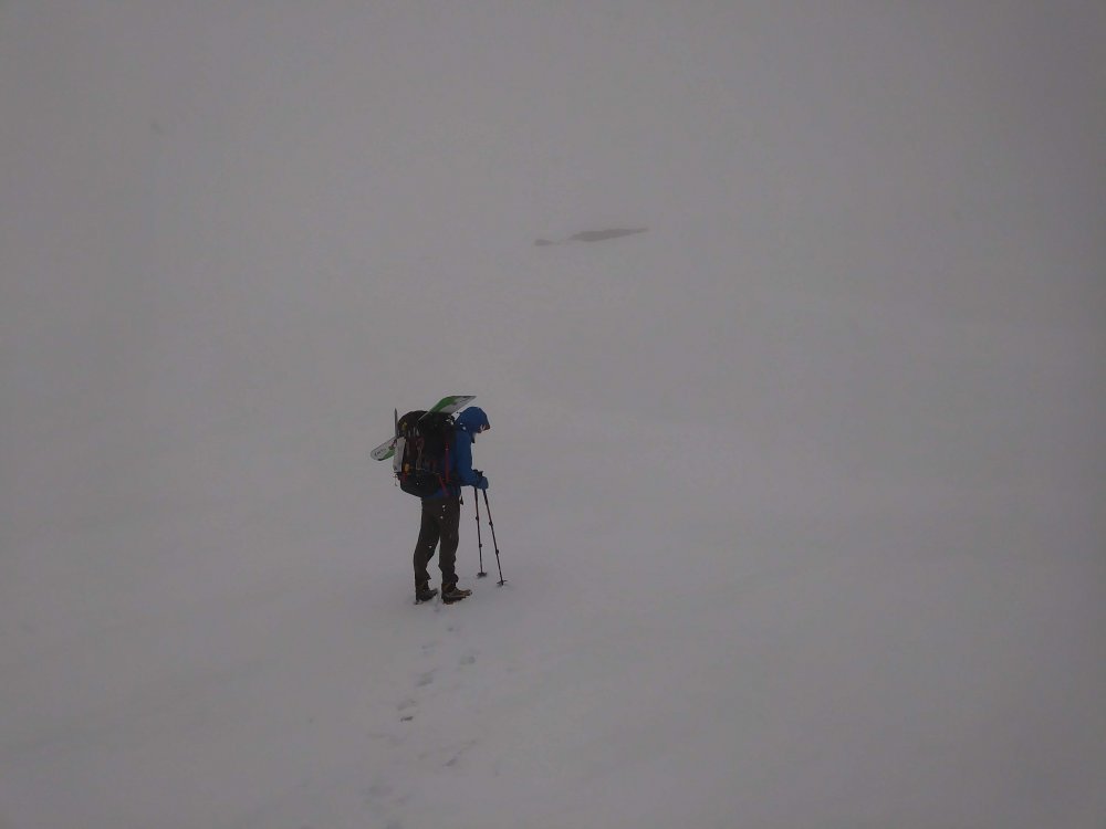
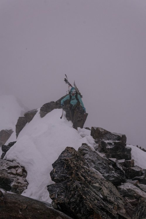
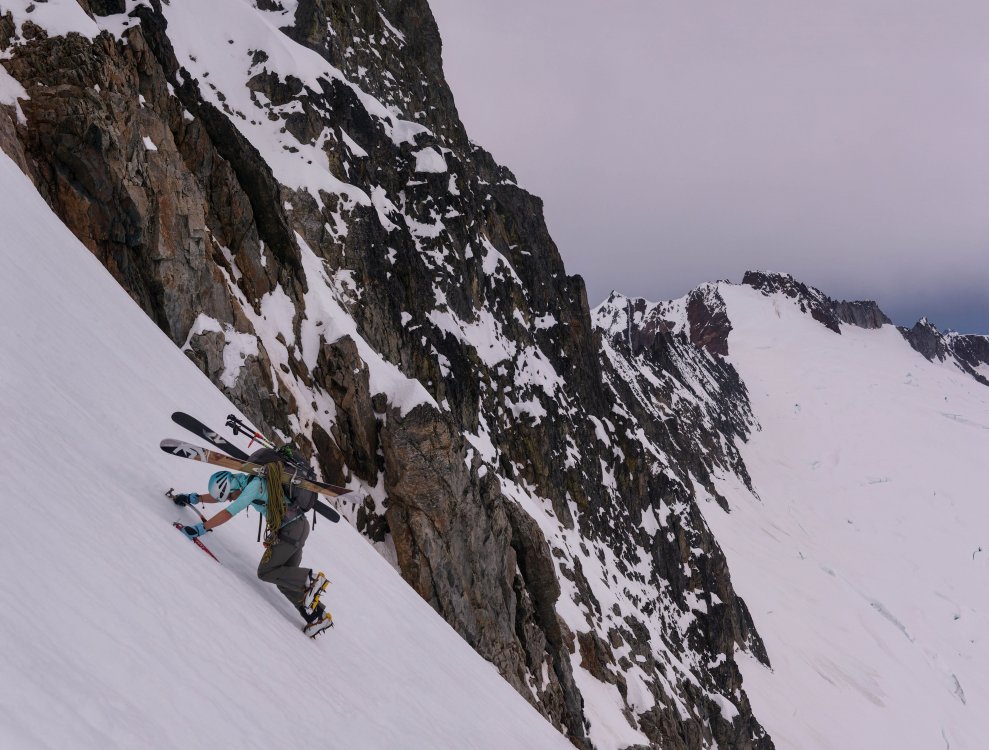
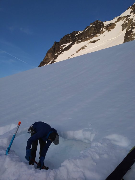
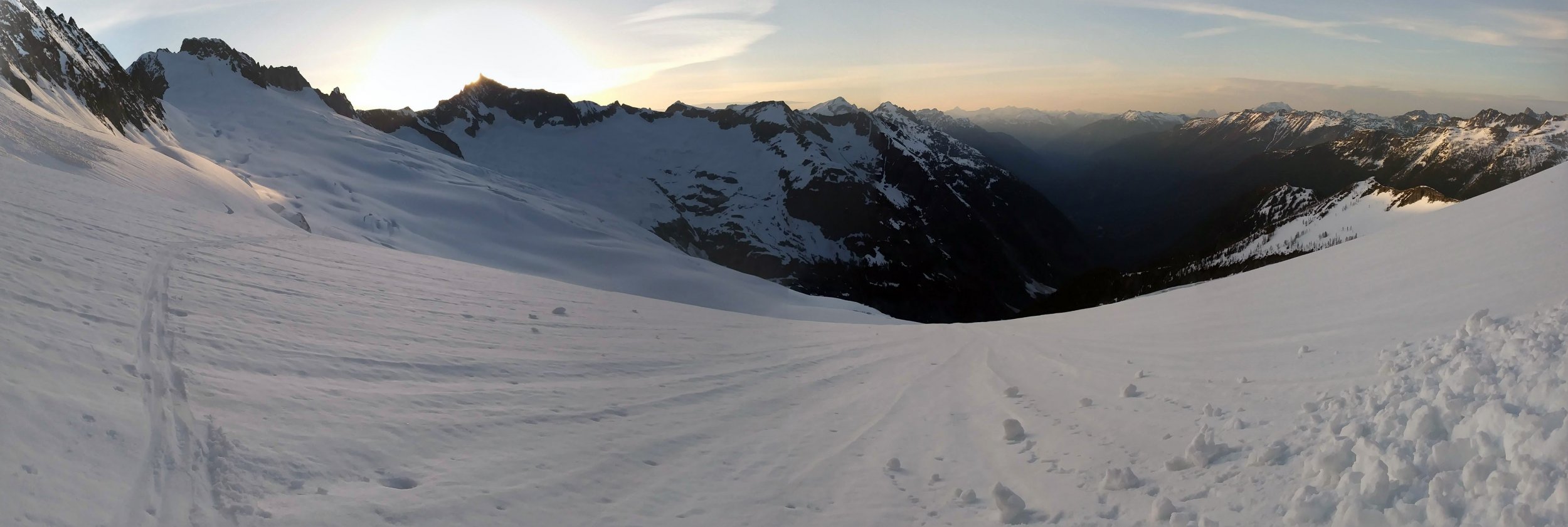
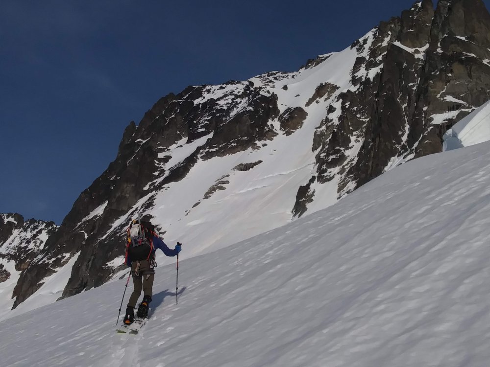
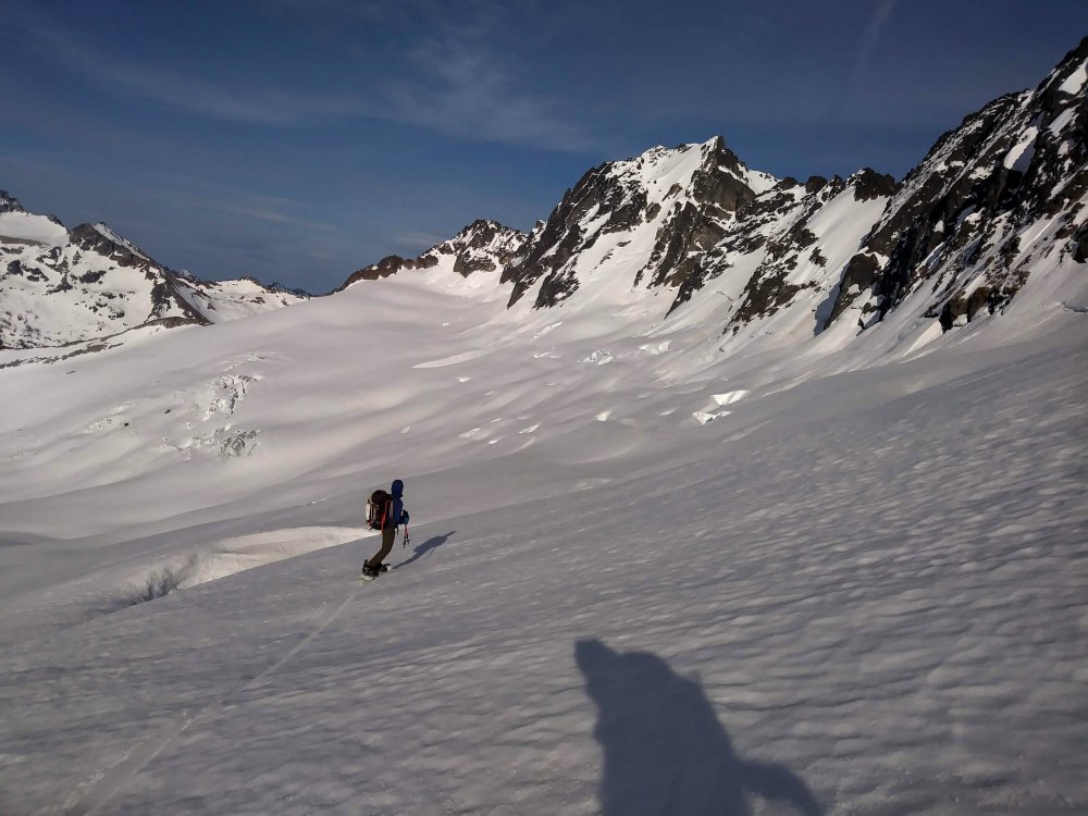
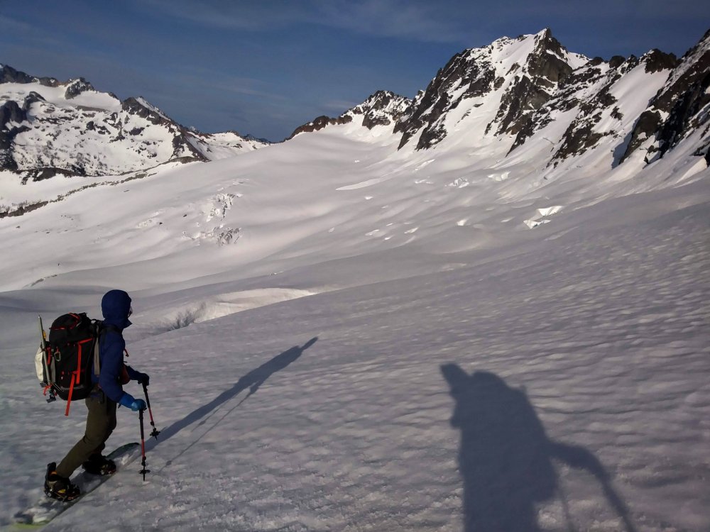
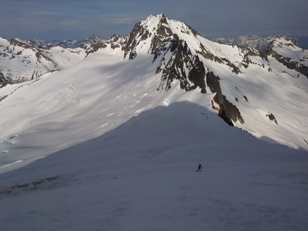
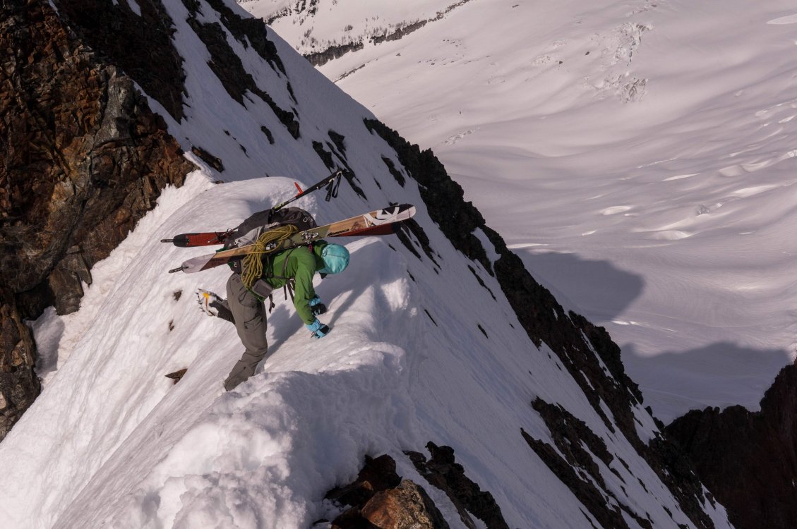
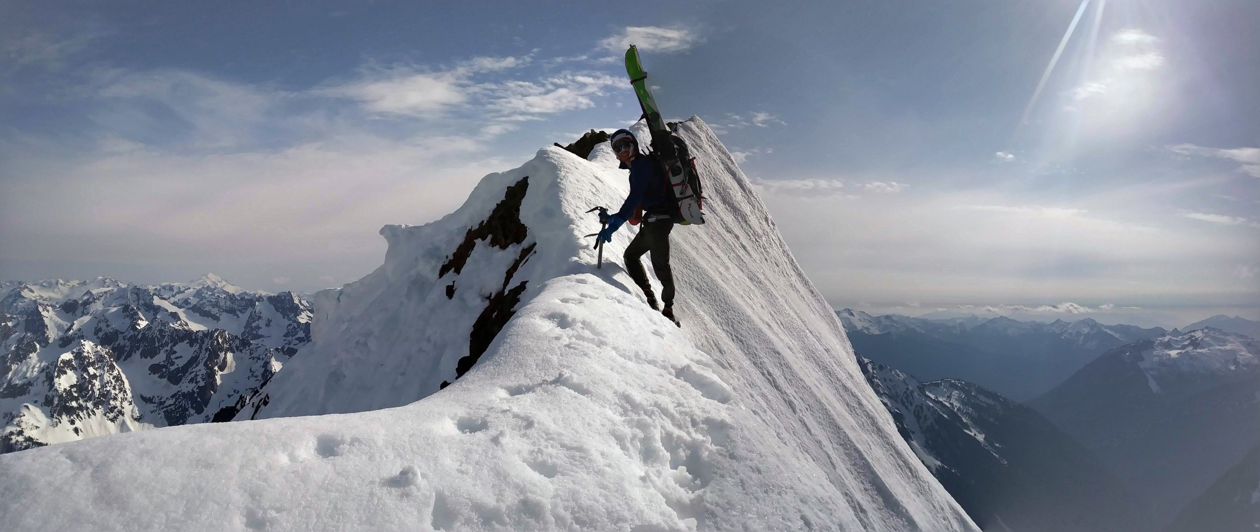
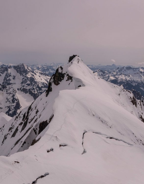
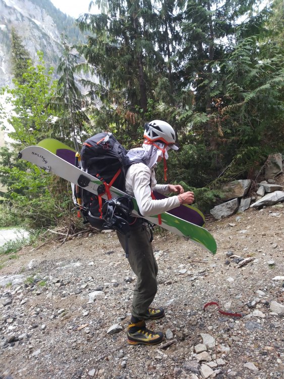
Trip: Buckner Mountain/Mount Buckner - North Face Trip Date: 05/14/2019 Trip Report: Last week, Tyler and I skiied the Sahale Arm. This past Monday/Tuesday, though, we decided to ratchet it up a bit and go check out the north face of Buckner. Our plan: Boston Basin > Boston-Sahale Col > Boston Glacier > camp > Buckner > Horseshoe Basin > Sahale Arm. With skis/splitboard! We had a beautiful, amazing adventure! We discussed our hesitation with Tuesday's 2-4" snow and gusty winds forecast; I really appreciated Tyler's rational explanation of how it probably did not mean certain death, but that he was open to other objectives, too. "I just want to be in the mountains." We decided to take fuel and food for an extra day if we ended up needing to hunker down.We left the Boston Basin trailhead with a fine alpine start of a bit past 11 AM. Tyler decided to try carrying his splitboard as Star Wars thrusters. I decided not to ski strap my skis together, and we both thought our mods worked well! I think he's doing a shakedown, stability-test dance We were able to get onto snow relatively quickly and start skinning. Conditions were great, fairly cool and mostly overcast. We were able to skin all the way to the col with no issues, then switched to crampons and made our way up and around the ridge toward Boston. There was a little section of steepish snow to go around to wrap onto the Boston Glacier side: About to get over onto the shoulder of Boston; Boston Glacier in background. Photo: Tyler But then we were on the glacier, transitioning to skis/splitboard, and having a blast on the great snow!! The sun had come out for a bit, and it was amazing. These two photos are looking toward Sahale: We skiied/splitboarded around the huge crevasses and made our way toward the bottom of the north face. We had to skin a bit, but then soon we were making a sort of snow lean-to in the slope. Tyler made sure to put in a skylight/window. The sunset over Forbidden was fantastic, and the night was wind-less. Tuesday at 5 AM was when the weather was supposed to move in, but there was just light overcast and nothing ominous in sight, no wind. We packed up and started uphill... about 20 minutes or so after we began, I punched through some rock moat thing up to my chest (feet dangling in space until I realized I could kind of stem). Exciting! After I extricated myself, our headlamps revealed ~8' down to some big rocks. I was super super slow on this section and Tyler was extremely patient! About halfway up the face, we saw the nasty black clouds coming in and the snow finally arrived. As we got toward the summit, the winds picked up. Finally we were on the summit (Tyler signed the register/log and noted that the last entry was last October, hmmm) and then quickly off, downclimbing steep icy-ish slopes to the southwest in very low visibility. Photo: Tyler Photo: Tyler We found a shallow moat to shelter in as we refueled ourselves, and then we continued downclimbing for about 800ish feet to where the angle eased up a bit. We put on our skis/splitboard and carefully made our way across the icy-ish slopes of Horseshoe Basin and all of the avy debris. By this time it had changed to rain, and the snow was softening up. We got some good turns in! Finally we were toward the bottom of the exit gully and put the skis/splitboard away, and booted up and up and up in very low visibility. Some phone GPS-checking confirmed our route in the (did I mention?) very low visibility: Finally, within sight of Sahale Glacier Camp, we put on our skis/splitboard and got some good turns in without succumbing to too much vertigo, using our Sahale Arm ski memories to get into the Soldja Boii Creek drainage and with only a few minor tree shenanigans, finally got to the end of the snow, and then popped onto the Cascade Pass trail, and then back to the car! The pizza and beer were well-earned. I'm really grateful that I was able to go on this adventure with Tyler. He's patient, kind, generous, and encouraging. Thank you, Tyler! :-) Times: Day 1: 8ish hours Day 2: 9ish hours Gear Notes: 1 60m half/twin rope --> not used 3 pickets + 2 long screws --> not used One regular axe + one tool --> good Skis/snowboard --> worth bringing! Ski crampons --> yes Bivy sacks + shovels --> dope Goop --> yes (Tyler's calorific concoction of peanut butter, chocolate chips, and oats, in a ziplock bag) Approach Notes: Through, up, up, over, down, around1 point
-
Seems pretty common to drive to Tlachichuca in a rental, then arrange higher transport through Servimont. They shuttle up and down all the time. It’s also a convenient place to get fuel.1 point
-
Hear that people? Contact JGAP LLC for all your alpine planning needs! Very reasonable rates that match my very reasonable alpine success rate. Increase your Bulger and Smoot ticks this summer, and decrease your alpine failures*, with one quick call: 1-800-JGAPLLC *results vary, may not actually improve alpine performance. No refunds, or guarantees. You may die, be maimed, or otherwise be inconvenienced based on advice given by JGAP LLC.1 point
-
Me and a buddy did Mt. Baring main peak and then south peak in the fall of 2002 but I don't remember anything more than scrambling around on the SW aspect. Looks better with some snow on it. I was recently thinking of the Skykomish Valley version of the "North Bend Triple" and think a fit scrambler could do Gunn-Merchant-Baring in a day. You could be set up to re-supply at a vehicle between peaks. Approximately 22 miles and 12,000' vert, probably doable in a day but I'd take a headlamp for sure. Someone has probably done it.1 point
-
One week MX would be far better- shorter travel time, and cheaper flights. If you speak rudimentary Spanish, there is zero reason for guide/travel service to get around. Just keep low profile and don't travel at night.1 point
-
I'm headed to Skaha for the long weekend for some family climbing. My next free weekend is July 13th. I am thinking of either Adams Glaicer, Kautz Glacier or Liberty Ridge. Trying to convince my wife to join me, but whether she joins or not, I'd want another person or two.1 point
-
Trip: Mt. Stuart - Stuart Glacier Couloir Trip Date: 05/05/2019 Trip Report: My friend and I Climbed the Stuart Glacier Couloir on Sunday. Rode bikes up to the trail head. Theres just a 100' long patch of snow near the trailhead now. Hiked in early and the approach wasn't terrible booting. Followed the summer approach trail. Plenty of cairns to go off of when the going gets snowy. Camped at 5400' and woke up early Sunday morning. The snow on the way up to the couloir was firm enough that just your crampon points would sink in. The rest of the snow on the route stayed consistently firm as well. The bergschrund was easily crossed via bridges on climbers right. The constriction in the couloir was in great shape with thick ice. Mostly 60 degrees with a couple short vertical/near vertical bulges. Got to the west ridge notch around 7am and started working our way along the west ridge. On the ridge the ledges and gullies were snowy. The rock on route was mostly bare with patches of ice and ice in the cracks. I thought this made for interesting climbing as you would need your tools for a bit and then want to stow your gloves and tools for some sections. Really fun climbing on the the north side traverse pitch and the following twin cracks pitch out of the tiny notch. This was a fun outing on an awesome route. I thought the climbing was easier but more fun than what we encountered on triple couloirs this year. In these conditions I'd give the route a WI2/M3+/5.6 rating. Gear Notes: cams to 2", assortments of pins, set of stoppers, 2 13cm ice screws, a picket (dead weight as usual, snow was conducive to vertically placed pickets but there was other pro available) Approach Notes: Road is still gated at Bridge Creek campground. Bikes for the road. Booted in and out. Approach was way less miserable on the way in.1 point
-
Trip: Mt. Rainier - Sunset Ridge Trip Date: 05/25/2018 Trip Report: Geezers on the Go or Fading into Sunset Ridge. Having done routes from Carbon River, White River, and Paradise I have always wanted to do a west side route. Two of my partners from many years joined in on the fun. The average age was 62 with a combined over 120 years in the hills. We did the usual hike from the West Side Road via the no longer maintained Tahoma Creek trail. From the along Emerald Ridge which we never saw cause we ascend into the clouds we gained the terminus of the Tahoma and crossed it somewhere. Eventually we broke out of the clouds and camped below Puyallup Cleaver at around 6800 feet. In the morning we gained the cleaver and followed it to around 8500 at which point we bailed left and crossed until the South Mowich. We roped up but the crossing was very straight forward and we headed up initial lower slope to 9500 feet. At this point there is a bergshrund across the whole of the lower apron/ridge. We crossed more to the left. Again straight forward but sloppy snow. We bivied at the bergshrund. The next morning hoping to have an overnight freeze which did not occurred we launched upwards. The climbing was at around 45 degrees. The higher up the firmer the snow got. We pretty much side stepped the vast majority of the route. We stayed mostly to the climbers left and found several places to rest. Including one great spot with 60-70 foot high conglomerate walls just waiting to pitch bowling ball sized rocks down. From here a few hundred feet more of climbing and we gained the ridge proper and had great views of Sunset Amphitheater. Until this point we had climbed roped or unroped sans any gear. Once on the ridge proper we followed it until we need to down climb around a short 30 foot section of bare rock (by passed via snow). This lead to the finial pinnacle which forces one out on to the Mowich Face. Here again the climbing was straight forward we stayed more climbers right (two pitches), traversed left (~one pitch), then gained the ridge (~one pitch). Overall 45-55 degree climbing with pickets. My one partner did most all of the leading, my excuse for not contributing was being tired having climbed S. Sister a few days before. Our other partner is just a geezer. After that we traversed the ridge to Liberty Cap which was good fun cause we could see where in the past we had topped on either the Central or North Mowich headwalls, Ptarmigan (including an infamous bivy), Liberty and Curtis Ridge. So it was a bit of nostalgia for all. Especially for me since Sunset Ridge was my 10th different route on the hill and exactly 35 years to the weekend since my first attempt on Rainier. Overall conditions were a bit soft at the mid elevations. The approach was manageable even in the clouds. Route finding was straigtforward. On the other hand, we slept warm - including the last night less than 100 feet below Columbia Cap. I'll add some photos soon. Oh, being from out of the area we stayed at Gateway Inn and Cabins which is right before the Park entrance before and after our climb. The folks are very accommodating so I'll give them a plug. Gear Notes: 3 Pickets and 3 screws (the later not used). Two tools 60cm axe and 50 cm hammer. Approach Notes: West Side Road via Tahoma Creek1 point


