Leaderboard
Popular Content
Showing content with the highest reputation on 08/04/23 in all areas
-
Still shooting film? https://photothinking.com/2018-02-16-minox-35-gt-little-big-camera/ Mint condition w/ hard & soft cases but needs a battery. Free to anyone that's actually going to use it. I strongly prefer a local exchange (Seattle to Mt. Vernon/Woolley) but will mail it if you pay the postage (& insurance if you want it).1 point
-
Trip: Alpine Lakes - Kendall Peak Traverse Trip Date: 07/23/2023 Trip Report: Solo of the Kendall Peak ridgeline. I've done this once before and had fun both times Start on the standard PCT route north of Snoqualmie Pass and travel past views of Guy peak the travel east and up on a popular ski slope. From there you get on the ridge and head north. I got views of one or more people who took the direct route to the summit from the PCT. From the summit views of the ski area and I-90 are good. After descending the standard scramble route to the PCT, I continued on the PCT for summertime views of the Kendall Adventure zone Gear Notes: Nothing special Approach Notes: Standard PCT route, then cut up and east towards the Kendall ridgeline.1 point
-
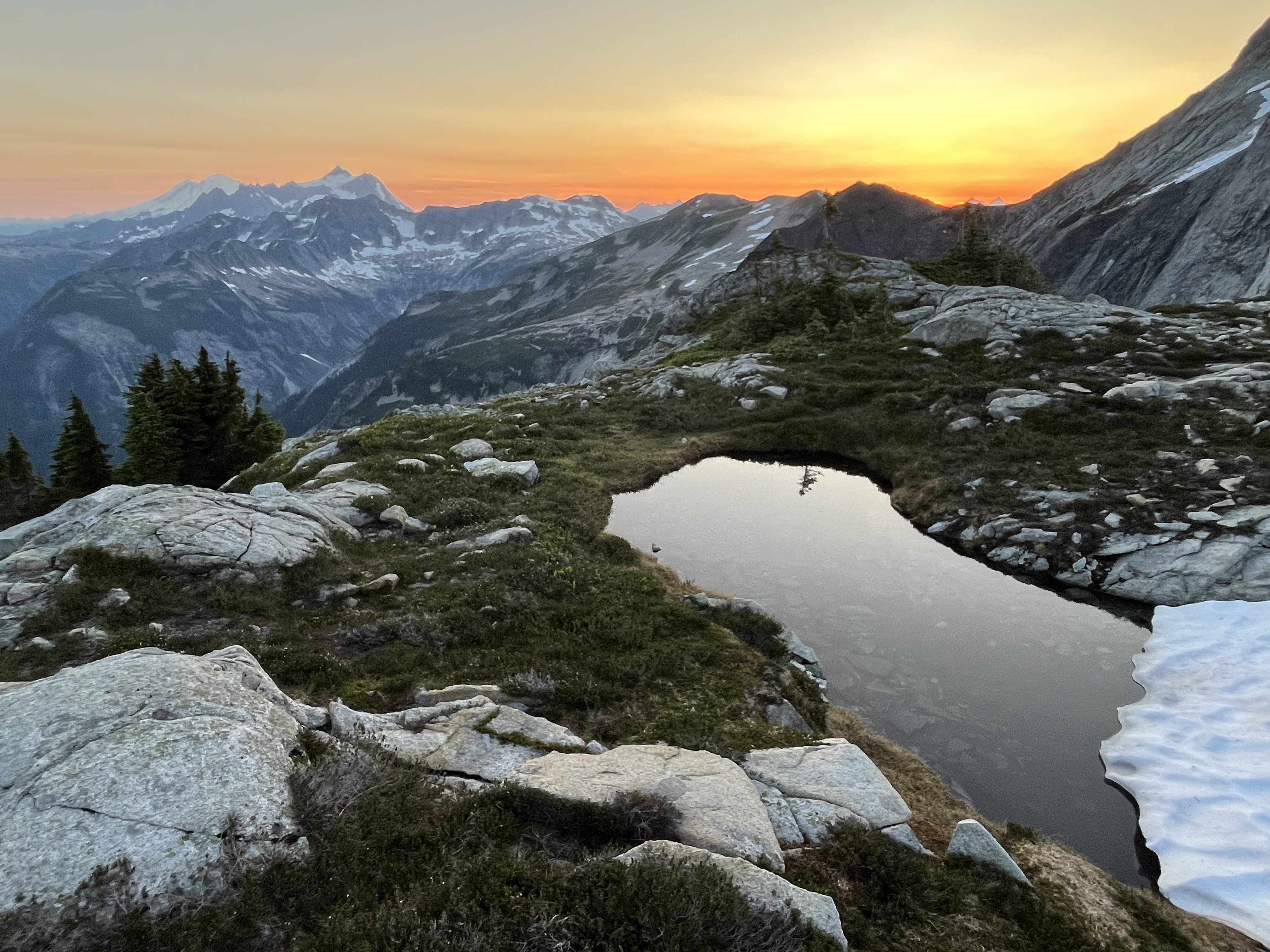
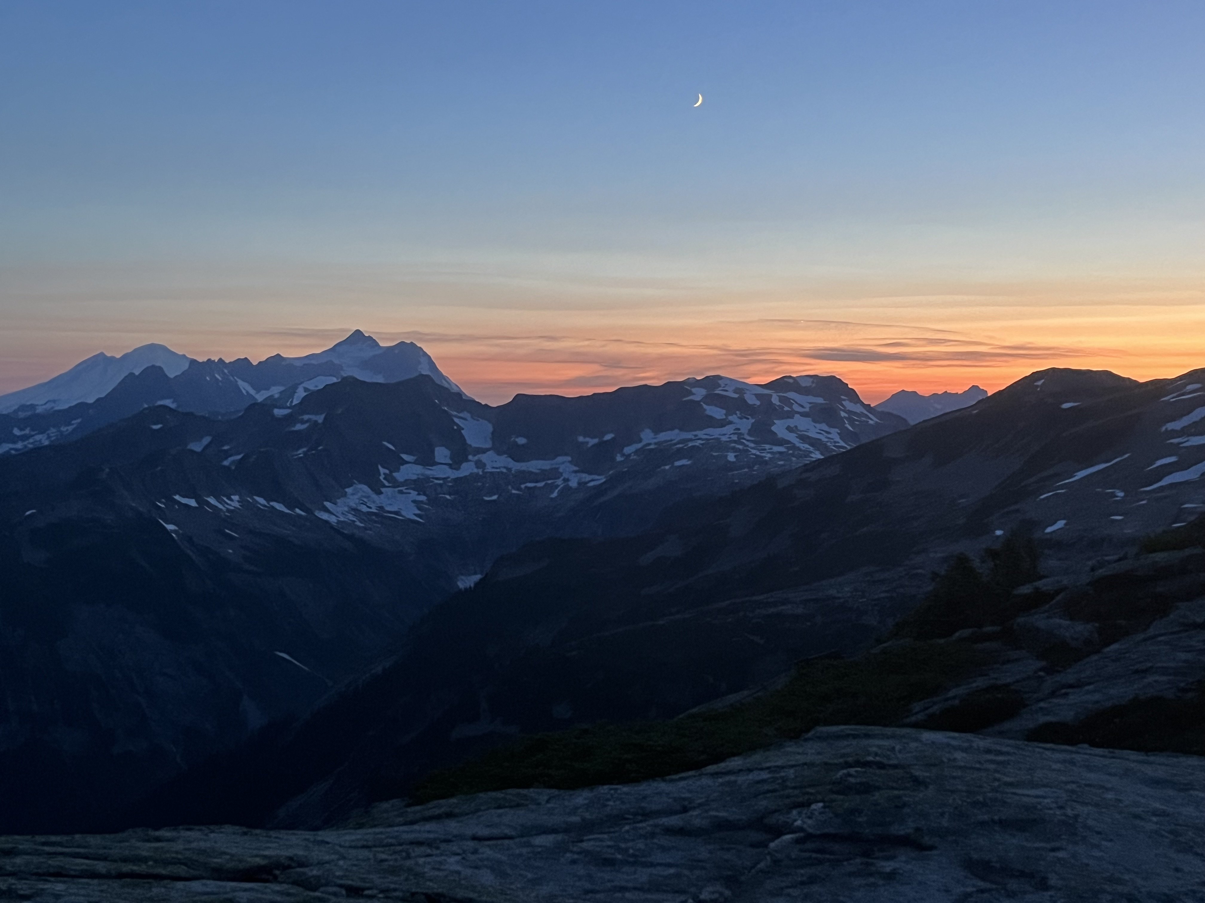
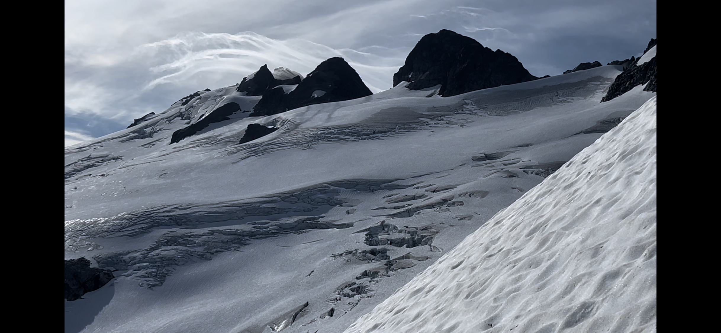
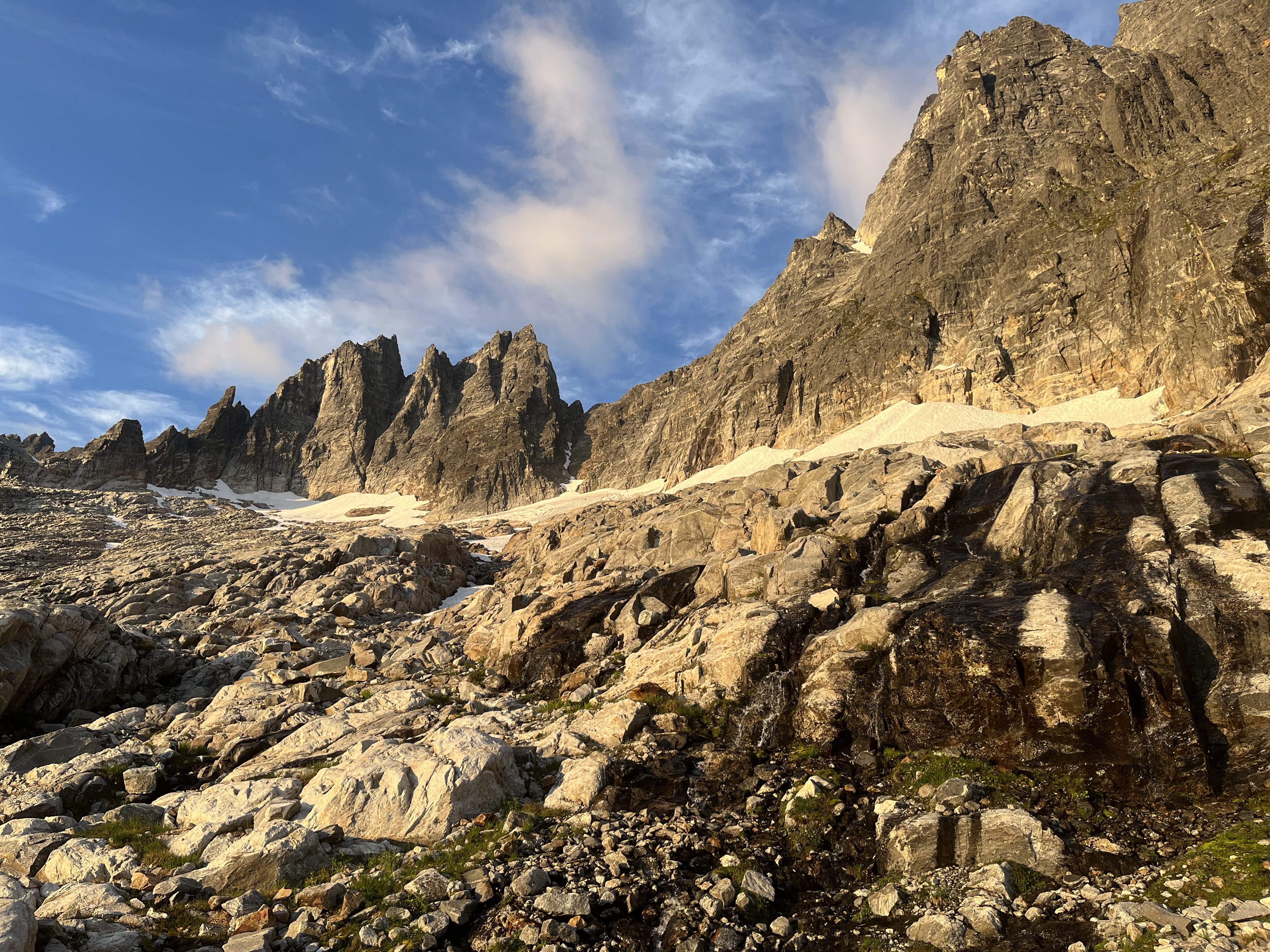
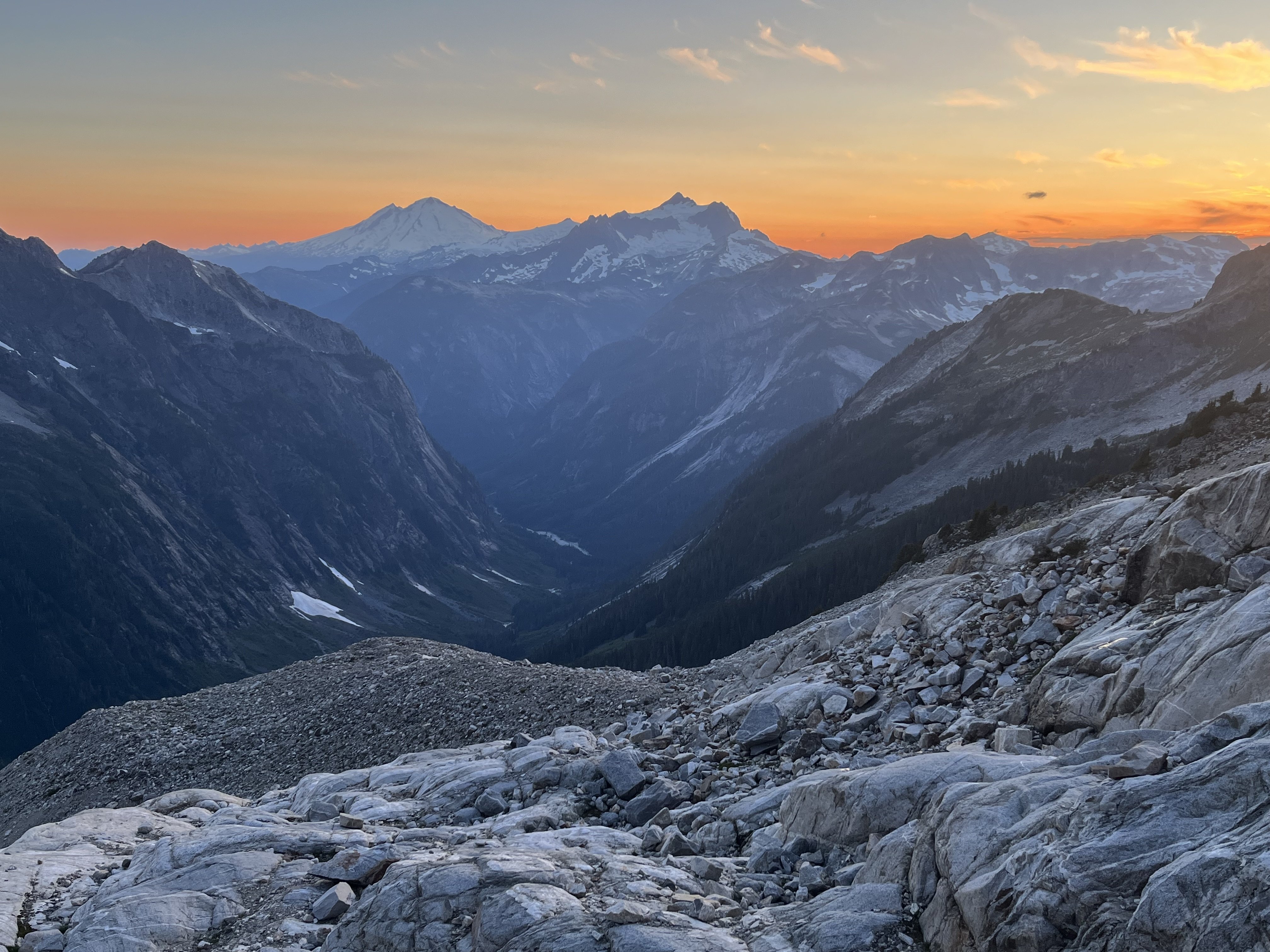
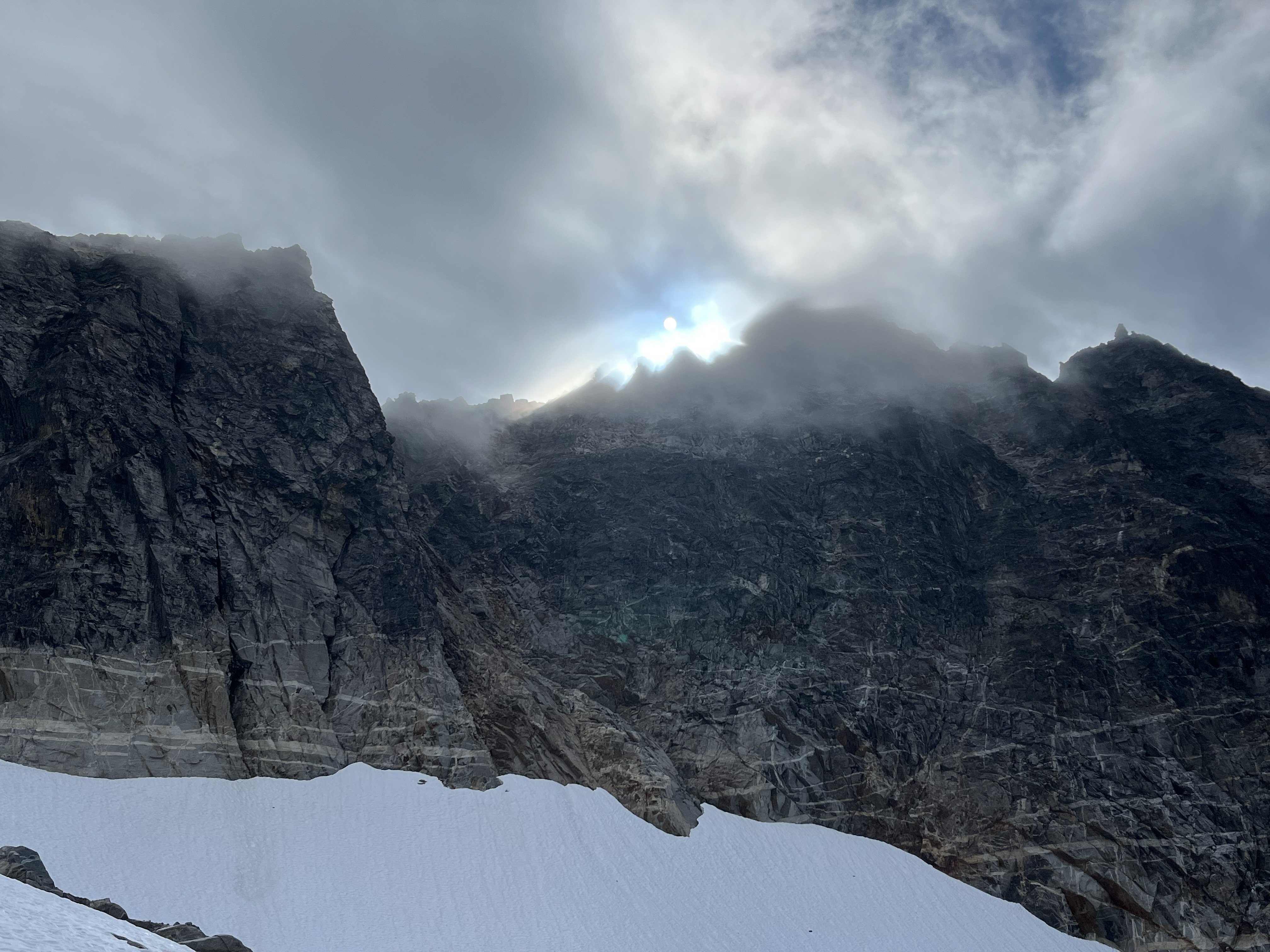
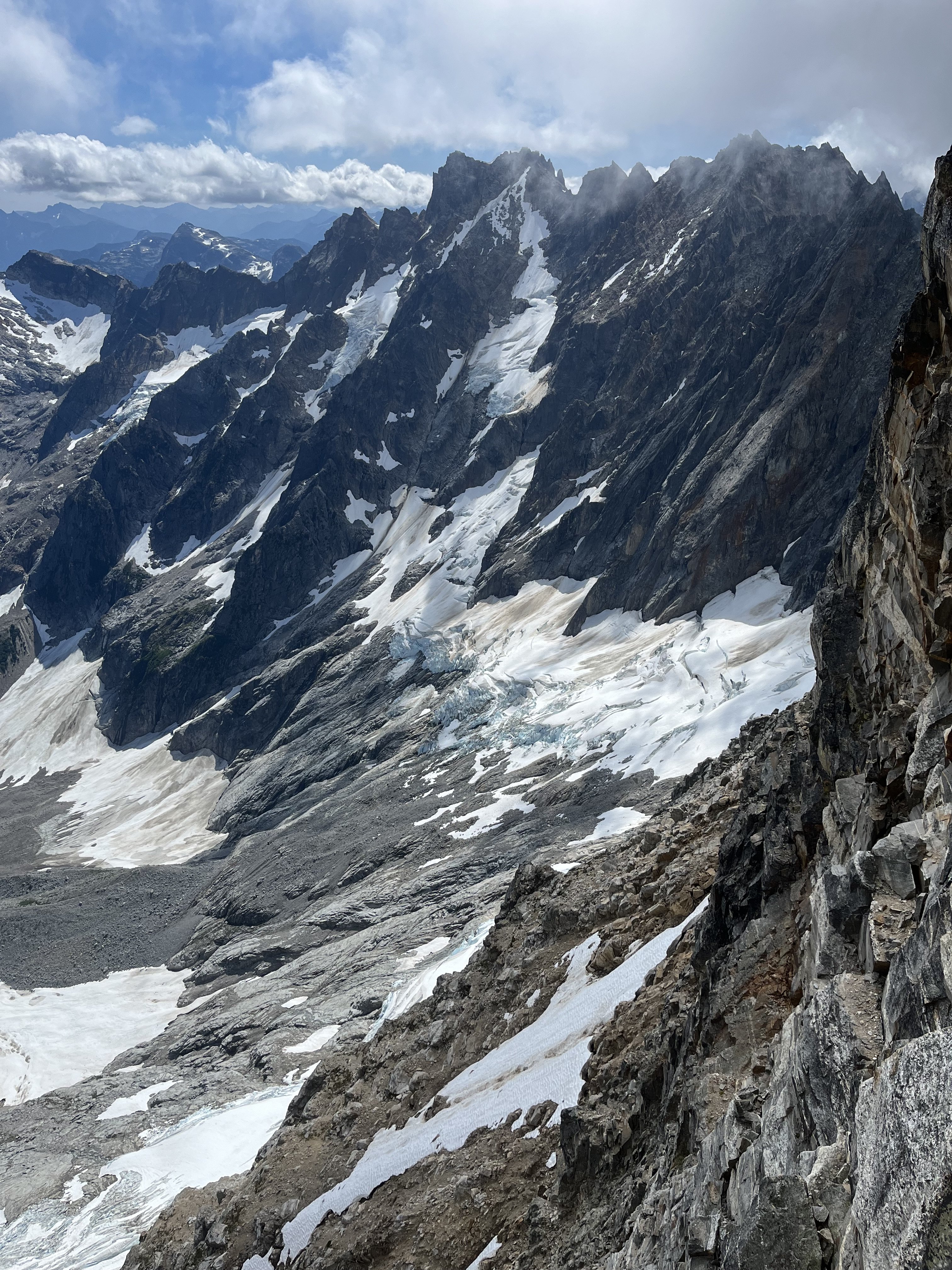
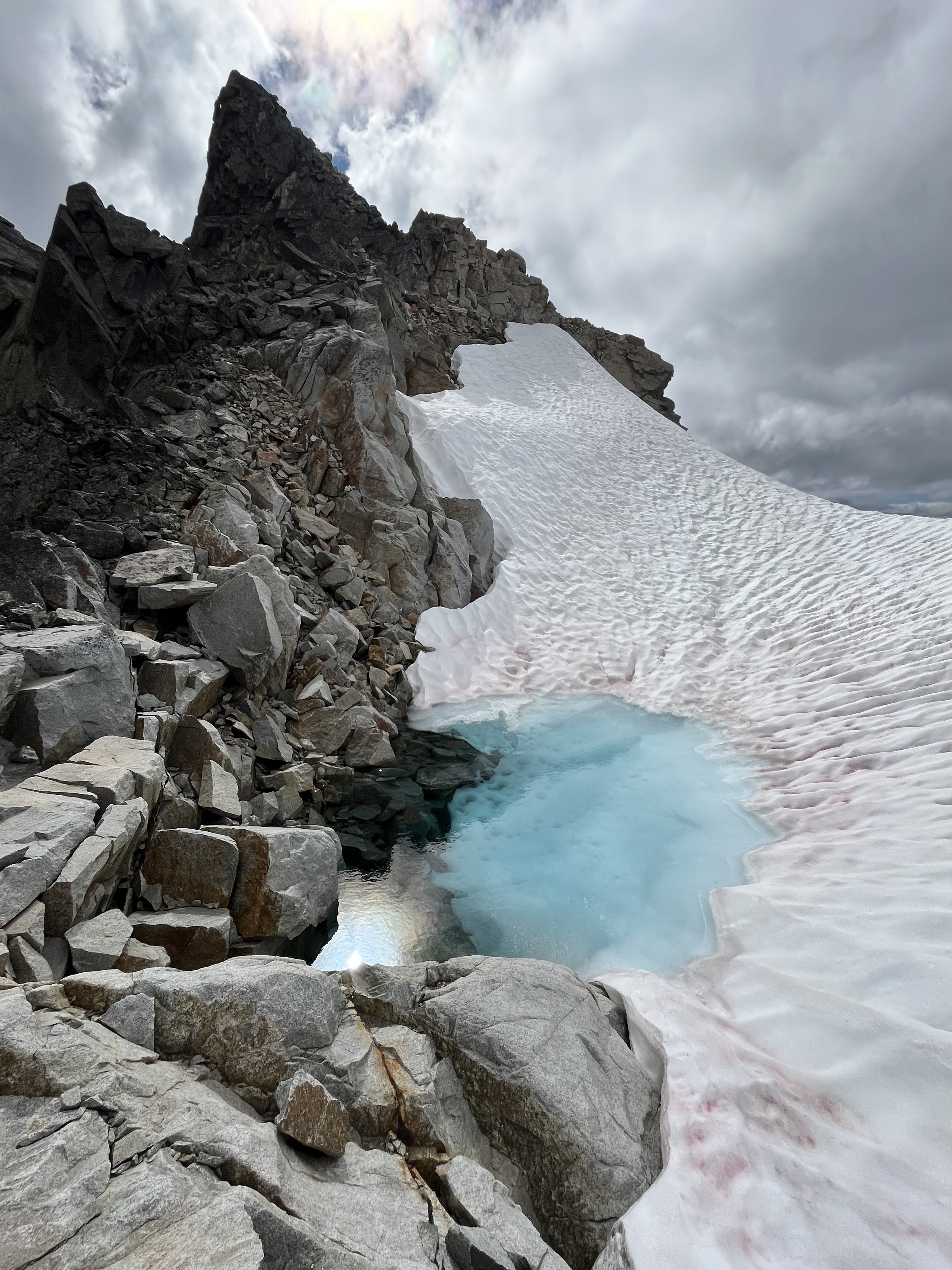
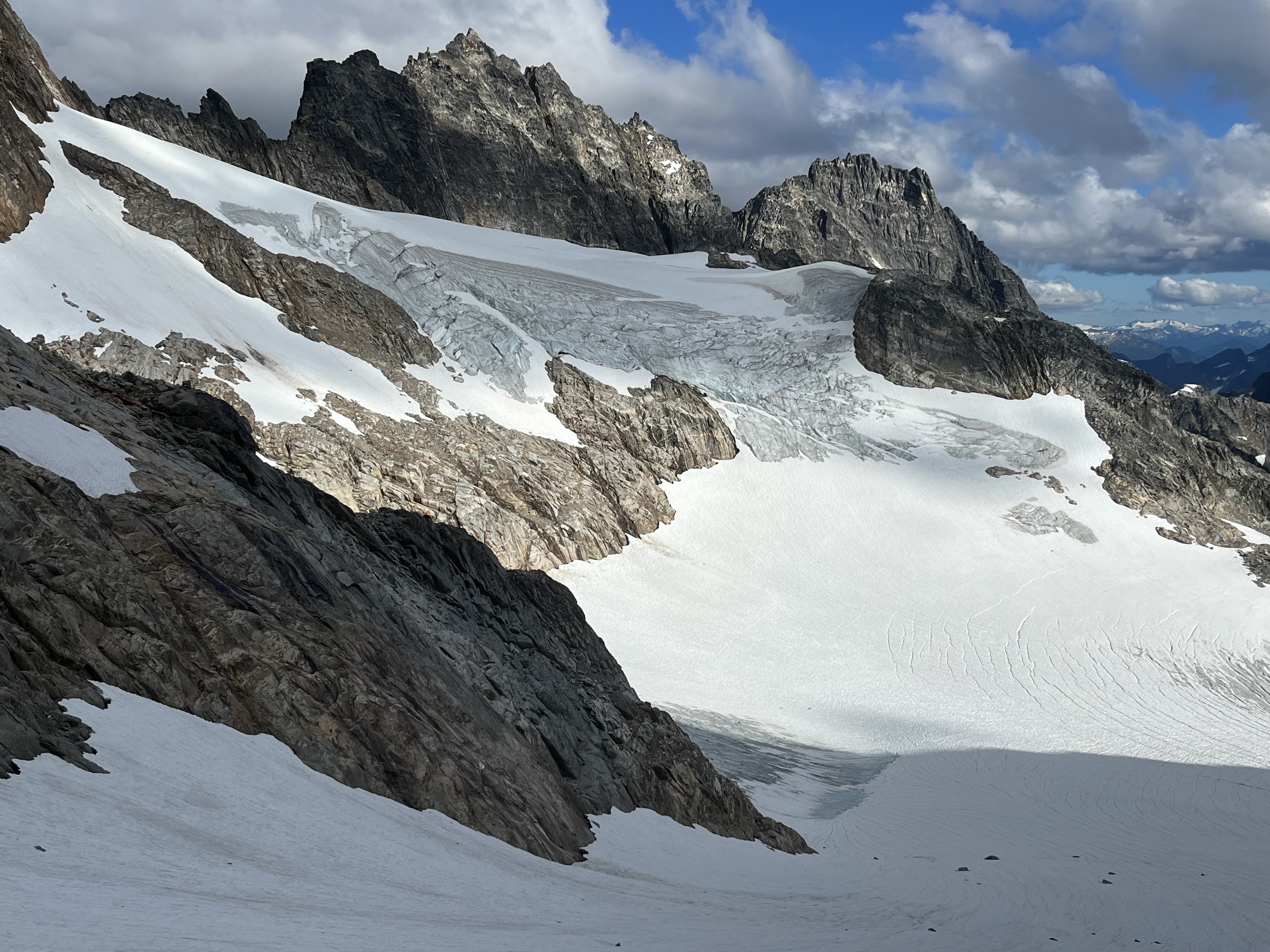
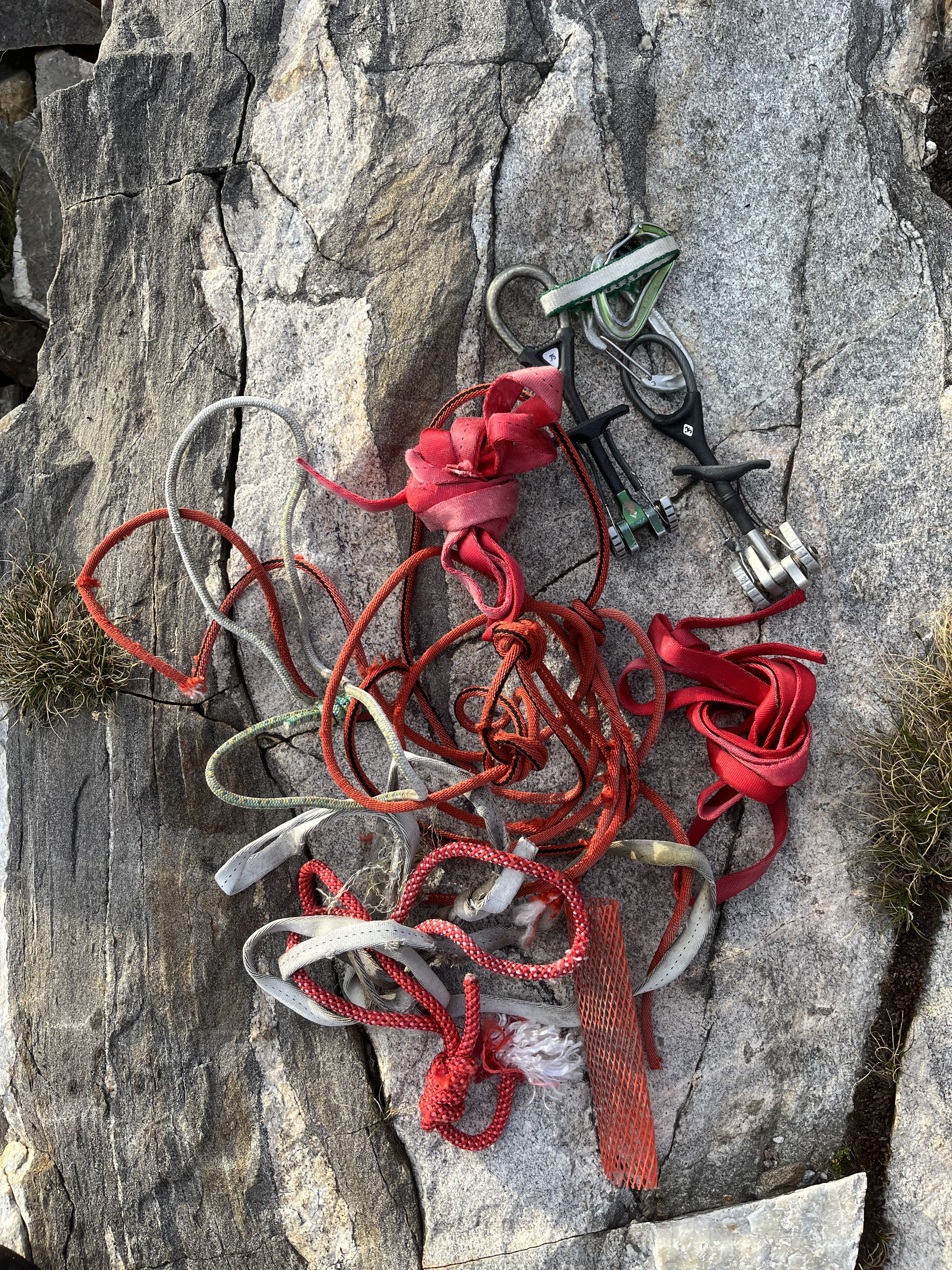
Trip: Crooked Thumb to Challenger, Phantom, Middle Challenger - Various Trip Date: 07/20/2023 Trip Report: Just because you can doesn’t mean you should. This thought arose as I was headlamp hiking in my underwear back to the trailhead to wrap up 4 days in the N pickets that were amazing, exhausting, and occasionally nerve wracking. I don’t intend to endorse solo itineraries such as this one, but I’ll share a few notes. Sorry I don’t know how to be more succinct Will add some photos later. Day 1 Hannegan Pass TH to Perfect pass. Got to the ranger station before 8am to try to get in and out as quickly as possible given the distance. Pretty smooth sailing except for leaving my pole at the Chilliwack and having to return for it (1/2 hour penalty). There are two logs across so it’s not necessary to wade, but I didn’t notice this until my return trip. That said the crossing is not difficult. The trail is faint near the creek but overall hardly any shwacking required. I found crossing the impass on ledges a bit higher than what I’ve seen in beta to be trivial, so didn’t pay close enough attention, and this would haunt me 3 days later. Got to the pass before dark, and found just enough snowmelt to get by. A new moon sliced its way into the dusk. Nightfall was clear and beautiful and the location outstanding. Day 2 Ascended Challenger glacier in the morning. No surprise if you’ve been out and about, it’s already late summer conditions out there. A somewhat direct SE line towards Middle and West was still feasible though. Once on the upper glacier I detoured E to scope out a possible descent in the Challenger 2 vicinity (I think that’s the name of the one just to the W of the main summit). It looked involved but plausible. Steep snow, two crevasses, good snow to rock transitions above and below, and rock that looked ok for scrambling. I then headed back towards Middle and scrambled fun clean rock to the top and back. I wrapped around to Solar pass and glacier and tried to find an easy way down to the bowl SW of Challenger. The way I took ended up having some spicy slabs. On my return on day 4 I would find an easier way that starts at a lower elevation than my crossing this day. Once in this bowl I saw that the glacier leading up to Crooked Thumb was quite gnarly with snow barely continuous on the presumably normal climber’s right. I made camp on rocks at about 7400’. My only complaint was having to descend 1-200 ft to find running water. I got a little too relaxed and didn’t head towards Phantom until 2pm. Easy snow travel led to lovely ledge/boulder/stream zones. When I passed SW of Ghost I took out binoculars and stared for too long at Ghost. In CAG Beckey succinctly describes a W face route involving gullies. From a distance the first half seemed possible but then seemed to run into roofs and cliffs. @SeanO commended Ghost to Challenger in his mind blowing/ nauseating northern pickets traverse trip report, so I was interested in trying that on day 3. But after much deliberation I decided I didn’t like what I saw and that I’d probably leave Ghost out. This was cemented later in the day after my troubles on Phantom. I would end up in no mood for any extra wandering up gullies. I got to Phantom arm and took heather and blocks upwards. I understood the SW route to be a scramble, and entered a decent looking gully at about 6800’ on the SW flank. The terrain didn’t align well with the few photos I had screenshots of, but I didn’t worry too much about it. I ditched my pole here (guess where this is going) and headed up. The SW to SE aspect of this mountain turns out to have quite a few gullies that prove to be difficult to cross between. I hit trouble in the 7400-7500’ range. Things were getting steep and I seemed to be blocked from traversing over a rib to try a different way. Upwards seemed like the best option at hand but got more and more tenuous. The sunk cost fallacy had me foolishly exceeding my comfort level for downclimbing, so I got pretty committed. There was an intense section of exposed traversing on edges. Maybe 5.6-5.7, I don’t know. Some scramble. I finally got through it and back on easy terrain. At the summit I saw that the register is open, with the lid or base (don’t remember which) down in some crack. I believe this was the original, so that’s too bad. For the descent I headed back to the false summit then S on nice staircase ledges reminiscent of Mix-up’s, then a SE aspect towards the main gully separating Phantom from Spectre, and got on snow. This was much easier than what I had climbed but is a S/SE route. I don’t know, didn’t have a lot of beta for this one. The snow passed 500’ below where I had ditched my pole so I got another half hour pole retrieval penalty. Heading back towards camp I had some regrets for not camping nearer Phantom. Spectre to Crooked thumb jut up ahead, Picket creek plunges steeply below and Baker and Shuksan flank the far end side by side. But it would be an impractical launch pad for my other plans so I had to make do with my 7400’ camp. I arrived after dark, mentally and physically taxed. Day 3 - Days 1, 2, 4 had clear and calm weather but today, on the climax, the height of my adventure, I’d be treated to some light drama. Very localized weather blew in around the Pickets, providing a thin and constantly shifting layer of clouds pensively twisting around the towers. This made me nervous but it never got menacing. It just made things a little cooler and more exciting. Having decided not to start from Ghost I instead began with Crooked Thumb via its NW couloir. The snow was totally melted out, but luckily this couloir turns out to be just fine without it. Plenty of loose rock but I’ve seen much worse. Near the top of the gully I veered S to climb the N ridge. There was one notably rotten section on my route but it was just a few moves. Near the summit, blocks and ledges led to cliffs guarding it. But there is a key SE facing low angle wall with useful edges, barely 5th class, that leads back to the ridge and bypasses the cliffs. The rock on top is an amusing feature. I was leaning on it to take photos then thought better not. Saw about 10 parties in the register in the past decade, including Sean’s crazy traverse. I downclimbed the way I came, got a free lesson 10 feet from the gully. From there I headed N. Other than the rock being fun/good and one possible diversion to the W, from Sean’s report I didn’t know what to expect. At first things went smoothly, with some TFT-style sidewalks. But complex pinnacles soon returned and route finding was generally not easy. I never did make much of a W diversion, though this may have made life more difficult. On the N end of Crooked Thumb I did go W slightly but I recall this ending with a sketchy squirm down a backpack shredding chimney. Not ideal. In my gpx you can identify route finding episodes where the line goes from straight to scribbles. There are about 10 of those between Crooked Thumb and the true summit of Challenger. I agree with Sean’s description of generally fun and good rock (though in a traverse of that length there’s bound to be a ton of loose stuff and it’s hard to be appropriately paranoid every single time) but I would add that the route finding is far from trivial. Not heinous but I had to think a lot. When bypasses seemed prudent, they tended to be on the W side of the ridge. I don’t know how many points I went up and over, but there were a lot. These keep the true summit blocked from view most of the time. It was a little demoralizing to so frequently surmount a point and realize I was still so far away. In this light I still can’t wrap my head around Sean’s traverse. Not just the distance but the diligence and patience to handle so much loose rock and route finding uncertainty. It took me nearly 4 hours to get between Crooked Thumb’s and Challenger’s summits, which are less than a mile apart from the air. Not exactly easy. At what seemed like the final false summit, I considered tackling it head on. It was narrow and very exposed but juggy and mostly solid. But 10’ below it’s crest I hit a crux where there was no feet. After playing with it I decided it was crazy (at least 5.8?) which was too bad because it would have been an awesome way to go. Instead I delicately traversed on the W side to some dirty loose blocks that I gingerly scaled. This was dubious but less exposed. The summit’s lack of prominence from the S is kind of funny. I saw a slung block and thought I guess this must be it right? Yeah I guess I don’t see anything taller. Downclimbed the summit block (rap line, harness, and rock shoes were just sweet sweet training weight I guess; well that and some peace of mind), bootied a cam that looked somewhat fresh (lmk if it’s yours) and headed down dirt and rock to the glacier where I scored some water from a pool cradled between it and the ridge. Because I was returning to my bivy near crooked thumb, not perfect pass, I didn’t explore to see if the standard route was blocked by schrund, though I heard a rumor that’s the case. I traversed on rock, passing below Challenger 2 to the area I scoped out the day prior. Exposed face in downclimbing with my light tool and a pointy rock ensued. The snow was in good shape for this, not too slick or punchy. The rock turned out to harbor one little crux at the bottom but it was all right. Good snow bridge got me back on the glacier. Since I found the solar pass descent harder than expected the day before I decided to try the Middle-West descent. There are slung blocks but the angle looked mellow and there seemed to be plenty of holds. Stemming and smearing worked well (but would have been hard in boots) until it deteriorated to dirt for the last 10-12 feet. Crap, I bet this part is often covered in snow. I got through it one way or another, but learned that I wouldn’t want to ascend this way due to the dirt. The route I had taken to camp the day before seemed like it may have given its last gasp, at least for a soloist without a lot of gear. The snow was still continuous on the left side, but was steep and passes above cliffs and crevasses. There were also still hidden cracks starting to materialize in the flattish section leading to the left side. For these reasons the right side would be much more preferred (more direct, shorter duration of exposure) but didn’t look so viable anymore. So I carefully went up and around the left side. This was the most adventurous day of the trip but at <10 hours the shortest and least physically difficult. I relaxed at camp and for some reason didn’t do the math for how long of a day awaited me. Day 4 - a funny thing about this bivy spot is the W aspect, with tall cliffs above it. Sun didn’t reach me till 8:15 and it was pretty cold before then. I was in no hurry, took a while to pack everything up and didn’t leave till close to 10. This was pretty dumb, I should have started much earlier. And part of the route was still in shade even at 10am, so waiting didn’t help. The snow was pretty frozen and I was glad to have a tool and my steps from the day before stamped in the snow. It was an hour of tedious face-in diagonal downclimbing, swinging my tool and kicking feet for most of that time, to cover 1/4-1/3 of a mile. When I bottomed out I tried the Solar pass strategy again, but started lower, finding really nice and fun granite. I wrapped around that ridge and followed it a little too high. Because a portion of the glacier between me and the pass had melted down to ice, I had to a slight ascent, traverse W, and descent to access the pass. On Challenger glacier I had my tracks from 2 days prior for reference, but things seemed significantly different. Probably some combination of noonish instead of morning, down instead of up, and 2 extra days of melting. It was stressful and I regretted being there, could not wait to get off of it. It was quite apparent that the crevasses were deep and wide and snow between them was not confidence inspiring. One of the sketchier looking parts was on the edge of the glacier, only 100 feet from reentry to rock. I didn’t notice on my way up to perfect pass how non-obvious the route is. Steep and weaving. At the impass I made a nominal effort to locate where I had crossed but got lured too high up the face. From there a horizontal traverse seemed possible but what would it look like on the other side? I had endured so many tenuous traverses in the past few days. Instead i downclimbed and reassessed from below. I tried again, finding an easy ledge but still ended up crossing too high. This ended with a short but slick and featureless slab at the bottom of the chute on the W side of the crest. Not fun! Rubble on the way to Easy peak was easier on the ascent than it had been coming in. I got to the old lookout, digging the views and checked the time - 5:30. Wait didn’t it take 8 hours to get here on the hike in? Crap! I ate caffeinated jelly beans and became a reluctant participant in mountain running, slow jogging down easy ridge. Great spot for it. Knees took a beating but handled it surprisingly well. I reached Chilliwack before dark, crossed on logs this time and tried to get stoked for the hike back. I had perfectly natural and reasonable feelings like this sucks and why I am doing this, but I was able to dispel these with counter arguments like hey it’s just walking, walking is no big deal. Maybe this is fun. This worked well until Hannegan pass when I couldn’t ignore that every part of my body ached. I reached the car at 1230, so far all that ass busting it was only an hour faster than on the way in, so maybe not worth it. Gear Notes: Approach shoes, steel strap-on crampons, light tool Approach Notes: Hannegan-easy-perfect1 point
-
First Ascent of Epiphany (10 pitches, 5.8) and Revelation Peak, Middle Fork of the Snoqualmie. <<< WARNING: Despite the moderate grade, this is a serious route. Expect to find loose rock, challenging route finding, runout slab climbing, unfriendly shrubbery, and questionable protection. If those don't deter you read on and be sure to bring gloves for the approach and descent. Your hands will thank you. Also, when descending off the peak don't go too far North. Backtrack toward the top of the climbing and rap steep SE-facing slabs. I'd suggest thrashing down the forest just right (East) of the major gully that heads NE. You'll inevitable be doing some rappelling through shrubbery and forest, but it's not dangerous. We think you're more likely to encounter loose rock or possible dead ends in the gully. You'll eventually intersect a NNW-SSE gully that provides easy rock hopping back to the trail. Maybe you can find a better direct finish or a better route off the peak. Be safe. Have a grand adventure! >>> On Sunday, 8/28/2016, Kurt Hicks and I (Rad Roberts) climbed a new route (Epiphany) on what we believe is an unclimbed peak (now dubbed Revelation) West of the Pulpit. This is about 2 miles south of Garfield Peak, a few miles north of Mailbox Peak, and a mile north of the Pratt River. Our line was ground-up, on-sight, bolt-less, and all-free, involving 10 pitches of climbing up to 5.8 and several hundred feet of simul-climbing and roped scrambling over 1300 vertical feet. Grade III. Old growth forest, a pristine alpine cirque, a large cliff, and an unclimbed summit make for a great setting. Climbers comfortable with off-trail navigation, sub-alpine scrambling, and runout climbing up to 5.7 would enjoy this route. Most pitches are 5.fun with just a few crux moves. A few well-placed bolts would make this a more user-friendly outing and allow one to stick to the cleanest rock rather than wander around looking for gear placements. This peak was added to the Alpine Wilderness in 2014, so bolting would need to be done by hand. ......... When I was eight, my friends and I explored the forests of suburban New Jersey, climbed trees and rocks, caught critters in creeks, and generally roamed free until it started to get dark and we had to head home for dinner. The excitement of finding new climbing trees, fishing holes, or hidden corners of the forest was incredibly energizing. I've gotten bigger and older since those days, but my passion for wilderness exploration still burns bright. Technology has changed the game. Poking around the internet one night this summer, I found a cliff near the Middle Fork of the Snoqualmie River that basic research suggested was large, clean, granitic, and unclimbed. On a sultry summer evening, I headed out to get a closer look. My initial approach involved a heinous section of prickly devils club and a tangle of rotting trees. This is par for the course in sub-alpineering, and I was prepared with gloves and long pants. I made it over to a tongue of old growth trees, swam through some alder, and reached a giant talus field in a sublime cirque below an immense granite cliff. The rock was so hot you could have cooked eggs on it. I sat under a tree, soaking in the silence, and spotted the obvious place to start: a hand crack in a giant, clean dihedral. I could only see the first 60 meters or so, but satellite images suggested this would lead to a clean slab below a maze of towers and ramps that guarded the summit. It looked like a worthy adventure. On my way back down to the trail, I found a much better approach line, with only 100 feet of bush whacking. I marked the line on my GPS, left a few cairns, and hiked back to the trailhead in the dark. Before driving home, I dipped in the cool Middle Fork river. I was so excited about going back I couldn't sleep, my mind going over and over how we might climb this sleeping giant. The next day, I pitched the adventure to Kurt with a few choice images and the lure of a grand adventure on a big unclimbed wall. Like any good sand bagger, I downplayed the potential for scary runouts, dense and prickly vegetation, and hazards on the unknown descent. Kurt has enough experience to know when he's being hoodwinked, but he still agreed to join me. We've climbed and explored together in research for his I90 corridor guide, which will hopefully be out next year, but this would be our first new route together. Climbing with Kurt is like hitting the EASY button. He is an AMGA-certified guide with many years of experience guiding clients in the Cascades. He quickly dances up all kinds of mountain terrain, keeps ropes neat and tangle-free, and rigs rappels and anchors in seconds. Plus, he has great hair. We left the Middle Fork trailhead at a very civilized 6:15 AM just two days after my recon mission. 45 minutes later, we left the trail on a faint path, dived into the undergrowth at the appointed spot, and were ascending among old growth trees just a few minutes later. We managed to avoid the slide alder, crossed cleanly to the upper talus, and soon found ourselves at the base of the route. Easy. I started up the first pitch dihedral a little after 8 AM. The rock was polished and clean with a few moves of damp 5.8 hand jamming at the crux. I stopped around 30 meters because our larger gear, which I'd already placed, would be needed for the next section. Kurt fired off some nice clean 5.8 moves early in the second pitch and cruised up easier ground on clean rock with sparse protection, a theme that would repeat for much of the line. I climbed up to a slightly steeper section and cruised off right, lured by splitter hand cracks that promised some protection. It turned out these "cracks" were under, behind, or alongside blocks or flakes that seemed poised to pitch off the wall if a cam or climber's hand pulled hard on them. So I slung some shrubbery, went back onto the main slab, and continued to a crack with a few good cam placements. Kurt lead a lovely low angle slab for a pitch and I led another nice pitch with great rock, aiming for a small tree on the left of the giant granite bowl. This slab climbing was mostly 5.fun but required attention due to the sparse protection. Right near the end of the rope I found two of the best cracks of the day for the anchor. After two more slab pitches we were at the base of several steep rock ribs separated by deep, dark clefts. We followed clean rock for two more pitches up and right toward a treed ramp I'd spotted on satellite images. At the right end of the ramp, we swam through dense, short trees a hundred feet right to a break in the cliff. It looked possible to climb a steep step to the next tier. But when I climbed up to try, I found the one inch tree I planned to sling for protection had roots behind a block that moved immediately, and there were no cracks nearby. No good. I backed down and moved right toward another steep section of cliff. To get there, I had to step out onto a giant detached block on a sloping ledge with a crack behind it. I was careful not to dislodge the beast with my foot or place gear behind it. But the rock band above it was harder than it had appeared from below. It would involve a strenuous vertical lie-back on a rounded licheny edge with a one inch tree in pine needles for protection. There was no obvious protection above, and the moves would not easily be reversed if it turned out to be a dead end, so I backed off again, unwilling to risk a dangerous fall. So we moved another 50 feet right where the vegetation ended in a drop off below a wide vertical arete. There, we found a 30 foot feature with fun, airy 5.8ish moves with a nearby tree for protection and stemming. It was a nice rock rib in a great position. Kurt then scrambled right and climbed an exposed ramp to easier ground. We simul-climbed and scrambled about 200 vertical feet to the crest, moved right to bypass an imposing tower, and continued up toward the top. The final section was a narrow rock rib split by a lovely crack in a truly outstanding setting. And then we were on the summit. There were no cairns or other evidence of prior human passage. Any route other than ours to the summit would involve technical terrain and significant bushwhacking. These factors, combined with the absence of signs of prior human passage encountered on our ascent or descent, make us think this peak had not been previously climbed. For curious peak baggers, the topo shows the summit just under 3900 feet. The saddle with the Pulpit Peak to the East is at 3540, for a prominence of about 350 feet. We may never know whether we were the first or not, and perhaps it doesn't matter, but that perception enriched our experience. We soaked in the late afternoon light for a few minutes before rappelling down steep, clean granite on the Northeast side of the peak, aiming for a gully on the North side of the peak I had seen on my recon mission. Three double rope rappels and a single rope rappel put us down in the target gully. We followed it until it seemed prudent to move into the forested rib to the right. It turned out this was a bad idea. The brush was fairly dense, the woods were pretty steep, and we had to cross several stands of dense Devil's Club over our heads. At this point, I should mention that the gloves I'd loaned Kurt had large holes that exposed his bare fingertips. He ended up spending the next few days pulling tiny spines from his swollen digits. Sorry, Kurt. My gloves were quite new, but the spines still found unprotected flesh to prick. Sub-alpineering at its finest. Down, down, down we went. Eventually it got dark enough that we had to turn on our lights. We did three short raps off trees over drops too steep to safely downclimb. Finally, we arrived in the creek bed I'd ascended two nights earlier. This boulder-strewn drainage was easy to descend, and we soon made it to the trail and hiked back to the trailhead. The night was capped with a cold beer and a cool dip in the Middle Fork around 10 PM. In a world that seems to tug us in a dozen digital directions at once, it is a great luxury to find focus leading rock pitches and have long uninterrupted conversations on the trail. We felt grateful to have shared an amazing first ascent to a virgin summit less than an hour from Seattle. The climbing was quite moderate, the rock quality was good to excellent, and the position and summit were outstanding. Climbers aspiring to repeat this line should understand that there is a fair amount of loose rock to avoid in places, protection is sparse and sometimes tricky to place, and the descent is non-trivial. We have ideas for a better descent and may return to hand-drill a few bolts that would allow climbers to stay on the cleanest rock and mitigate runouts. Message me for suggestions and for help finding the painless approach line. Epiphany and Revelation are part of the 2014 expansion of the Alpine Lakes Wilderness, so please tread lightly. Anyone who has climbed Infinite Bliss on Garfield, which is about a mile or so to the North, knows the rock changes from clean granite down low to shattered rock up high. That never happened on Epiphany/Revelation. The climbing may look rather scrappy in photos, and I won't suggest it's perfect, but we were continually surprised at how solid the rock was and how much fun the climbing was. I loved the days of my youth in the forests of central New Jersey, but my body, spirit, and aspirations outgrew those woods. I am very, very grateful to have a host of majestic wilderness adventures hiding in the mountains of our backyard. Revelation Peak from the MF road. Note the lower 3 pitches are obscured by foreground trees. Approach via Pratt River Trail. 2.2. miles. Ascend x-country to the start. Our descent back to the trail. It might be better to rappel back down the Southwest Face. MF forest on my Friday recon The lower cirque in the afternoon sun. MF SnoQ in the background. The cliff. When you enter the forest you're aiming for a giant fallen cedar log. Follow this to a second and then up into open forest. Passing a large cedar in open forest. This approach is about as friendly as sub-alpine x-country travel gets. Pitch 1 Pitch 1 Pitch 1 Pitch 2 Pitch 2 Looking back down pitch 3. Starting up pitch 4. Looking back on the start of pitch 5. Later in pitch 5. Looking back from the top of pitch 5. Better two lobes than none? Looking up pitch 6 Pitch 7 (8 for us as we went to the left to look at those deep clefts) Finish pitch 7 at a tree belay reminiscent of the one at the base of the Split Pillar on the Grand Wall at Squamish. Looking down the large slab from the middle of pitch 7. Pitches 7 and 8 from a vantage to the left of the line. The tree upper center is the belay. The traverse pitch 8. End of the traverse pitch 8. The top of pitch 9, the arete by the tree, with some wild towers in the background. Steep scrambling above pitch 10. Scrambling above pitch 10. We bypassed this tower by heading down and right on the NE side of it, traversing, and then ascending again. The final rock rib to the summit. So how do we get off this thing? The second double rappel. Third double rappel. It's not sub-alpineering unless you are rappelling through dense shrubbery in dark. Actually, we now believe this can be avoided.1 point
-
Thanks for a great trip Karsten, it was a tough one to pull off with a new partner; I think we did great. As Karsten mentioned, @Riley81's beta was invaluable: The only place we screwed up was on the north face of North. Follow Karsten's directions above. The dihedral mentioned by Riley81 and Beckey is really short and easy, we climbed it as a face, and there is a big tree growing out of the back of it, so it didn't seem like a great landmark. At this dihedral you wrap around from the NE ridge to the east face basically, then up into a gulley, then you are at the horn with tat and the start of the hidden ledge traverse. Don't go up the easy class 3 gulley to the steep wall. Otherwise you end up doing Beckey's variation: "Variation: On the lower portion of the climb, from the "hidden ledge" ascend a steep rock wall to a large hanging brush patch. Imitate a gorilla..." You get the idea. Riley81s beta on the descent from North was perfect (it reads insane at home, but following along totally works). The only thing I would add is descending from Middle, we did the same thing but had to do some looking around. From Middle Index we started down the ridge, bore left down a gulley to a treed area, then back west up a heather gulley, through a notch, down some rock and trees on the west side to an easy ledge system. Then bear east (left) along this ledge and heather to slabs, you cross the ridge back to the east side here where it is very gentle. Down slabs easterly until it starts feeling cliffy below, then go back over the crest to the west again and down a chossy slope or a chossy incised gulley. Wrap around to the crest where there is a chockstone gulley that leads to the notch. We made a rap station off a huge block on a prow skiers right of the chockstone and did a ~25m rap into the notch. Just above our station is a tree that Riley and co rapped off of (we didn't check this out). Incidentally, we were a tad confused that no one mentioned that the Middle-Main notch is a double notch with a point in it, this we easily climbed over to belay at the base of the next pitch out of the notch. With @Riley81's, and of course @JasonG's, beta with some Beckey thrown in we did pretty well. It's mostly all there, the looking around is the best part. If I were to do it again (which I won't) I would take a higher percentage of double runners and more small cams e.g. #0 and #1 master.1 point
-
1 point
-
With some time on my hands with the quarantine and all, I decided to compile some research. Here's a list of "forgotten" Cascade alpine testpieces (ice focused) or FACTs. Feel free to add some others I left out! Who's gonna be the first to tick the entire list? I apologize for all the weird formatting. I just copied this post from my blog https://climberkyle.com/2020/03/22/forgotten-cascade-alpine-ice-routes/. I90 I90 climbs offer the best access and easiest conditions to predict. There are undoubtedly many more climbs to be discovered in this area with easy access, generally good rock, and surprisingly rugged little mountains. Mt. Kent, North Face (multiple variations): the greatest north face in the Snoqualmie region with many long 1000 ft lines. Bonus: you can see conditions from I90 near exit 42 while driving west! This has been super high on my list to explore. Snoqualmie Mt, North Face (multiple variations): an abundance of mixed ice lines like the classic New York Gully and the lesser known Pineapple Express and Blue Moon. Abiel Peak, North Face (multiple variations): the “Ben Nevis” of the PNW has many shorter alpine ice and mixed lines. Bryant Peak, Hot Tubbs: Maybe this route hasn’t been around long enough since Jacob and I published it, but it reportedly hasn’t seen much action, so I think it’ll be forgotten soon enough… Summit Chief Mountain, North Face: Colin Haley said this line had “more ice climbing than any other Cascade ice climb” he had ever done at the time. Big compliment. The North Face is much like Dragontail, just fatter. Peak 3964, False Idol: An incredible 10 pitch ice route off the Middle Fork Snoqualmie that needs very cold temps to form. I believe this is just scratching the surface of the ice potential in the Middle Fork. US2 US2 offers some hotspots like the Stuart Range, with its steep granite peaks, and a sprinkling of other incredible routes in the Lake Wenatchee area. Weather is generally colder and drier on the east side, which is good for ice. Chiwawa Mountain, Intravenous: Cutting edge Colin Haley mixed route deep in the Glacier Peak Wilderness. Buck Mountain, Buckshot: Another bold line in a wilderness setting. One of the great underrated north faces in Washington. Mt. Index, North Face: Steepest peak in Washington, visible from the highway. Always an involved matter for a sub-6000 ft peak. Another huge route is Murphy's Law. Dragontail Peak, NE Couloir: This route feels much more full on than Triple Couloirs next door, and seems to be difficult to get in proper (fall) conditions. Colchuck Peak, NE Buttress Couloir: Often overlooked with Triple Couloirs and the North Buttress Couloir next door. Ends with a cornice-tunnel! Argonaut Peak, NE Couloir: Also a rock/snow route in early summer, this can be a fantastic mixed/ice route in late fall. Mt. Stuart, Ice Cliff Glacier: a technically easy but deceptively committing and full-on climb in a wild setting. Argonaut Peak, Chad Kellog Memorial Route: Challenging new age mixed route in the heart of the Stuart Range. Mt. Stuart, Lara Kellog Memorial Route: Climbs the incredible NE Face of Stuart above the Ice Cliff Glacier. Looks directly across to the Chad Kellog Memorial Route. Mt. Stuart, Stuart Glacier Couloir: A classic route where the crux is arguable climbing the west ridge in mixed winter conditions. Nason Ridge, Alpine Dropout: A fantastic looking ice route that sits just above Lake Wenatchee. Mountain Loop Close to Seattle but tragically overlooked, the peaks of the Mountain Loop are as rugged as anywhere in the North Cascades but with surprisingly decent winter access. The myriad of big climbs in this little region speaks volume to the incredible terrain. Big Four Mt, North Face (multiple variations): multiple routes, including the famous Spindrift Couloir. This is a mighty north face, and routes often take multiple days. Hall Peak, North Face: little brother to Big Four supposedly has some ice routes. Three Fingers, NE Face: This is a big route on a surprisingly big mountain. I believe there’s much more potential on the east side of Three Fingers. Whitechuck Mt, E Face Couloir: A very aesthetic couloir ice/mixed route. Access can be challenging unless it is a very low snow year. Whitehorse Mt, E Couloir: This steep route splits the Squire Creek Headwall for a fantastic line. I think it might even be visible from Darrington?! Sperry Peak, E Face Gully: Another beautiful, long, moderate ice/mixed route that likely varies in technicality from fall to spring. Sloan Peak, Full Moon Fever: This route climbs the weakness on the NW Face of Sloan. Having been at the base, I can say there is HUGE potential all over the place near the route. Sloan Peak, Superalpine: I certainly hope this climb isn’t forgotten, as Porter and I believe it is truly the best moderate alpine ice route we have climbed in the Cascades (better than Cosley Houston or the NW Couloir of Eldorado), but I know how things go around here… Lake 22 Headwall: who would think that one of the greatest alpine walls in the Cascades was just a short hour drive and hike from Seattle? There are so many unclimbed 2000 ft lines up this face, and you can get conditions updates by searching Instagram! Highway 20 Highway 20 undoubtedly has many huge ice lines, but difficult winter access has limited exploration. During lower snow years, the Cascade River Road could be a great area for exploration and development. Eldorado Peak, NW Ice Couloir: This route was sort of “remembered” in Fall 2019 when probably 20 parties climbed it (me included), but it’s a fantastic easier route, so I’ll leave it here. Colonial Peak, North Face (multiple routes): The mega line Watusi Rodeo offers 4000 ft of front point terrain and is “easily” accessible all winter. First Date is another attractive route. Pyramid Peak, NE Face (multiple routes): Home to some challenging mixed/ice routes on a wonderfully aesthetic peak. Graybeard, North Face: Everyone seems to report this deceptively big route deepened their sense of mortality. Davis Peak, No Milkshakes: the north face of Davis Peak is supposedly the steepest vertical mile drop in Washington. Silver Star, West Face Couloir: Originally planned as a ski descent, it actually turned out to be a huge ice climb! Visible from the highway, but you probably need a sled to get up there. Cutthroat Peak, Cauthorn Wilson: Gaining popularity lately, can be climbed right before the highway closes or after it opens. Early Winters Couloir: This one is sort of a classic and can be climbed in both fall and spring. Highway 542 The areas around Baker and Shuksan are generally well explored, but still offer great adventure. The Black Buttes are one of the centerpieces for hard alpine ice climbing. Lincoln Peak, Wilkes-Booth: A huge, challenging route on one of the hardest peaks in Washington. Assassin Spire, NW Face: Considered by many to be the toughest summit in Washington, this was also the first peak where the first ascent was made in winter. Colfax Peak, Ford’s Theater: The “forgotten” next door neighbor of the ultra classic Cosley Houston. Mt. Rainier / Tatoosh This area is dominated by the mountain, but I’m guessing the Tattosh have good stuff and certainly easy access. Rainier, Mowich Face: A long moderate route on the “quiet” (NW) side of the big hunk-a-hunk. Rainier, Ptarmigan Ridge: A steeper, more sustained route than its next door neighbor, the world-renowned Liberty Ridge. Mt. Hood I don’t know much about Hood, but I’m sure there are some great routes that are infrequently climbed, so I’ll take suggestions here!1 point


