Leaderboard
Popular Content
Showing content with the highest reputation on 09/04/22 in all areas
-
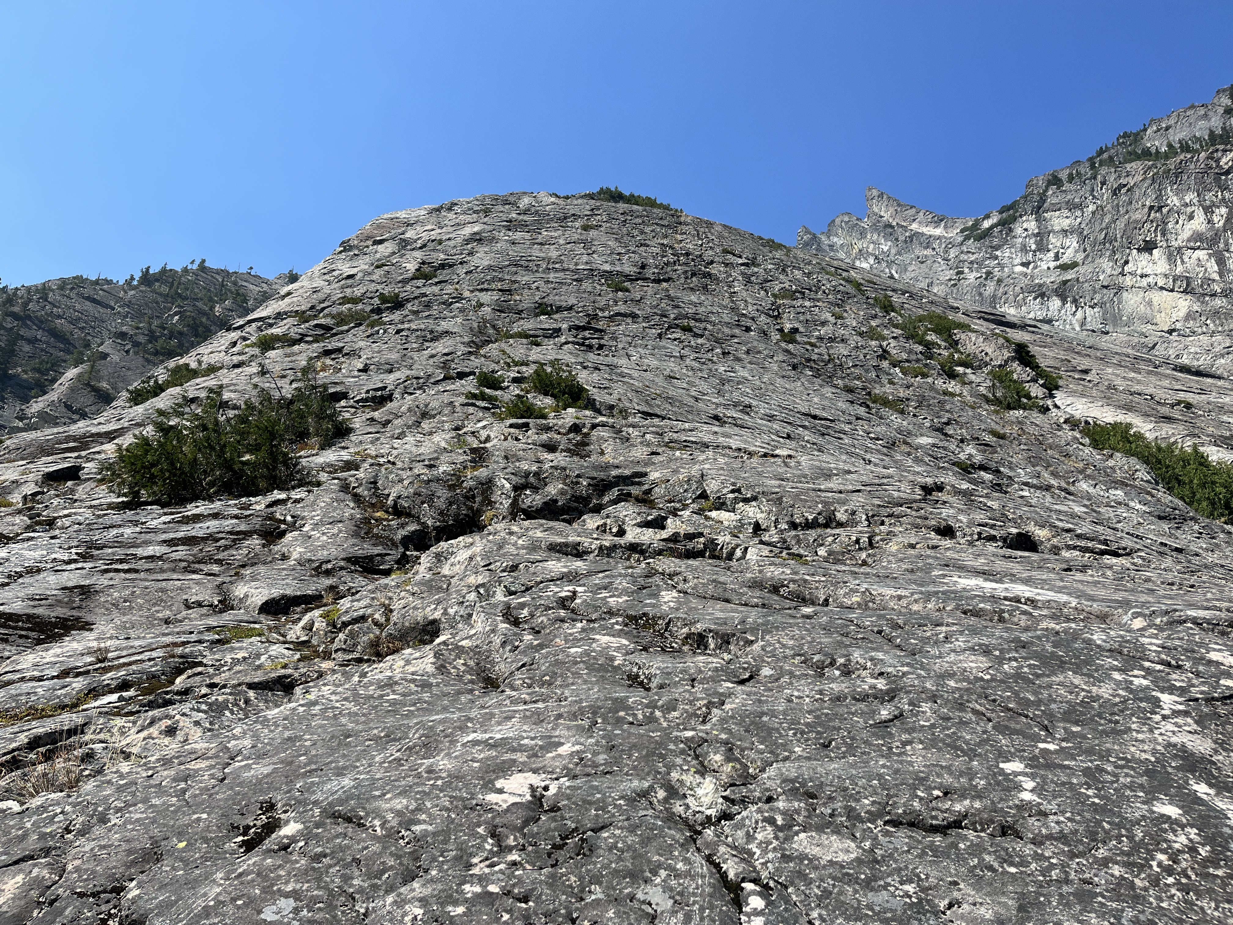
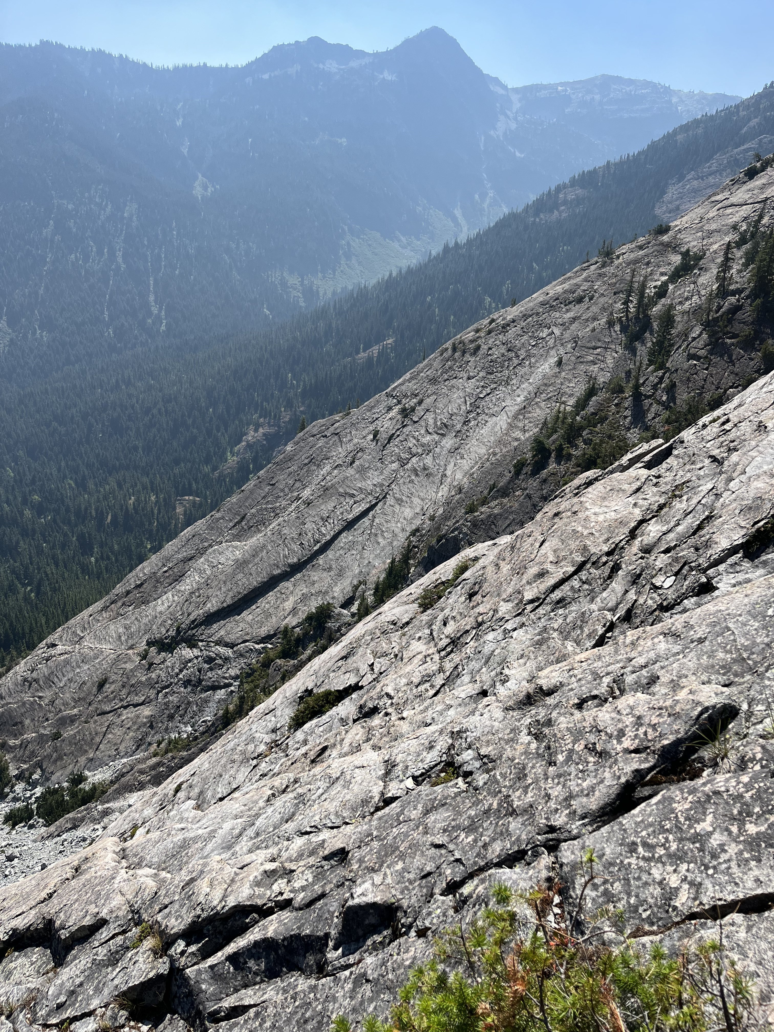
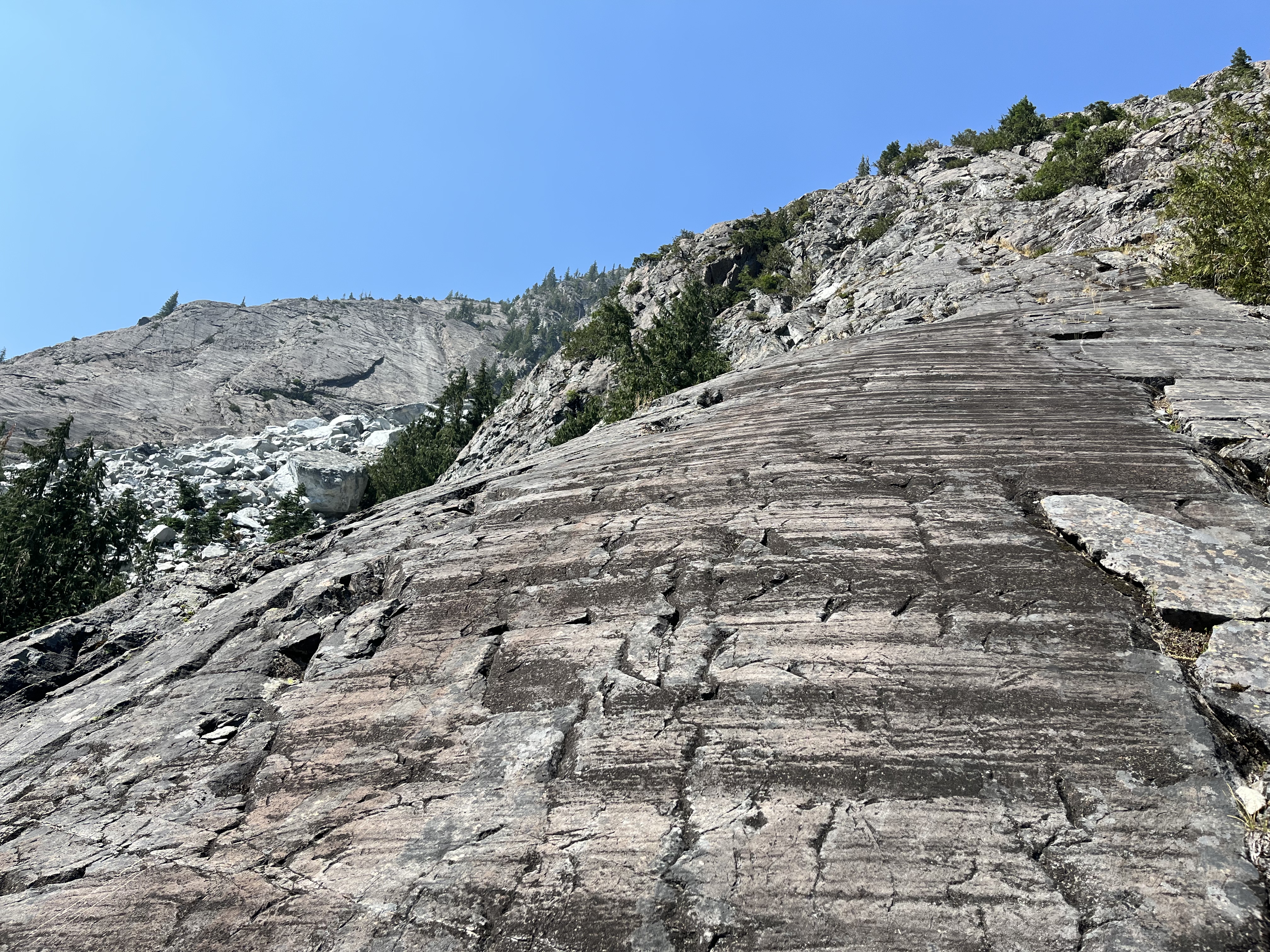
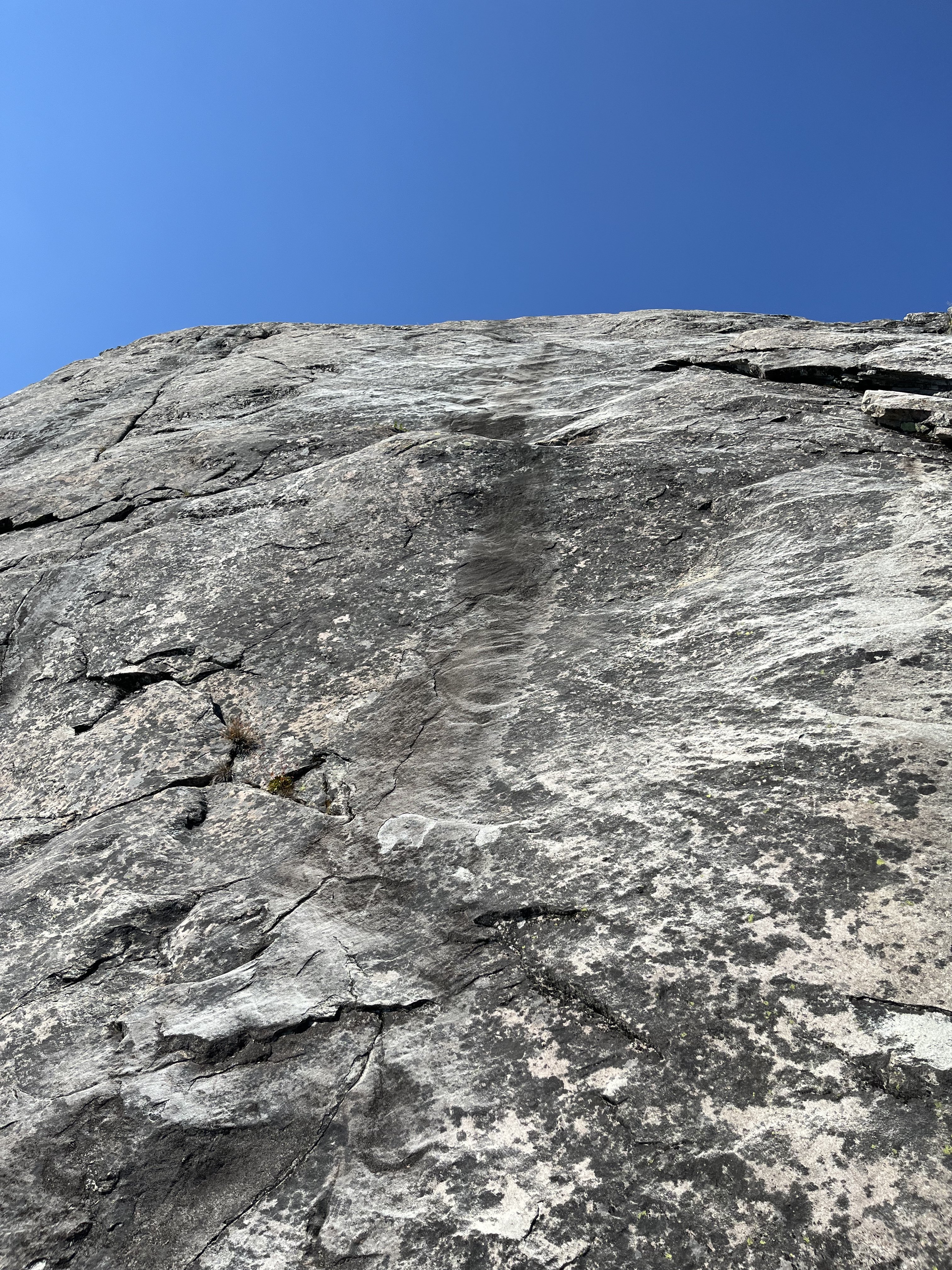
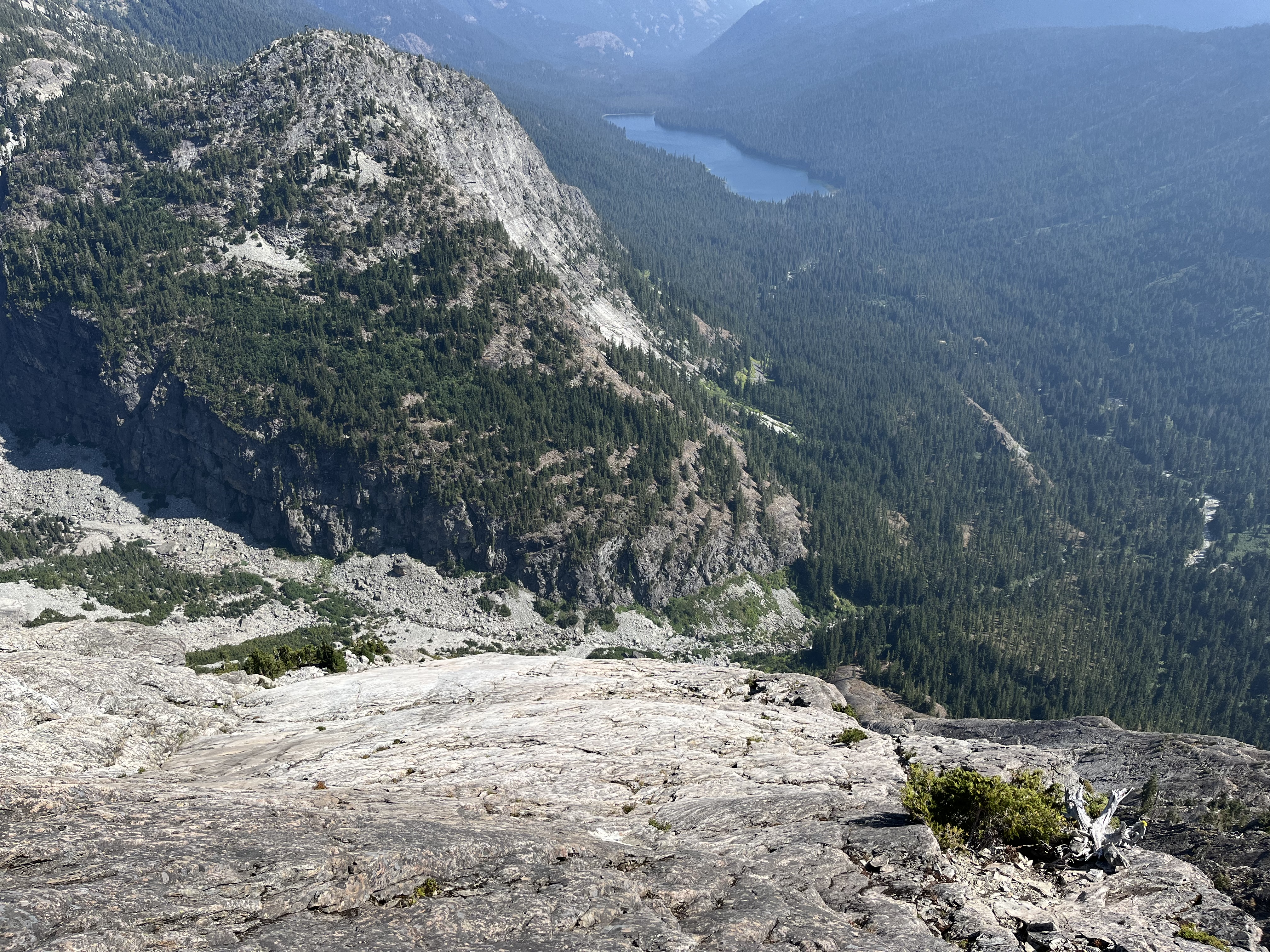
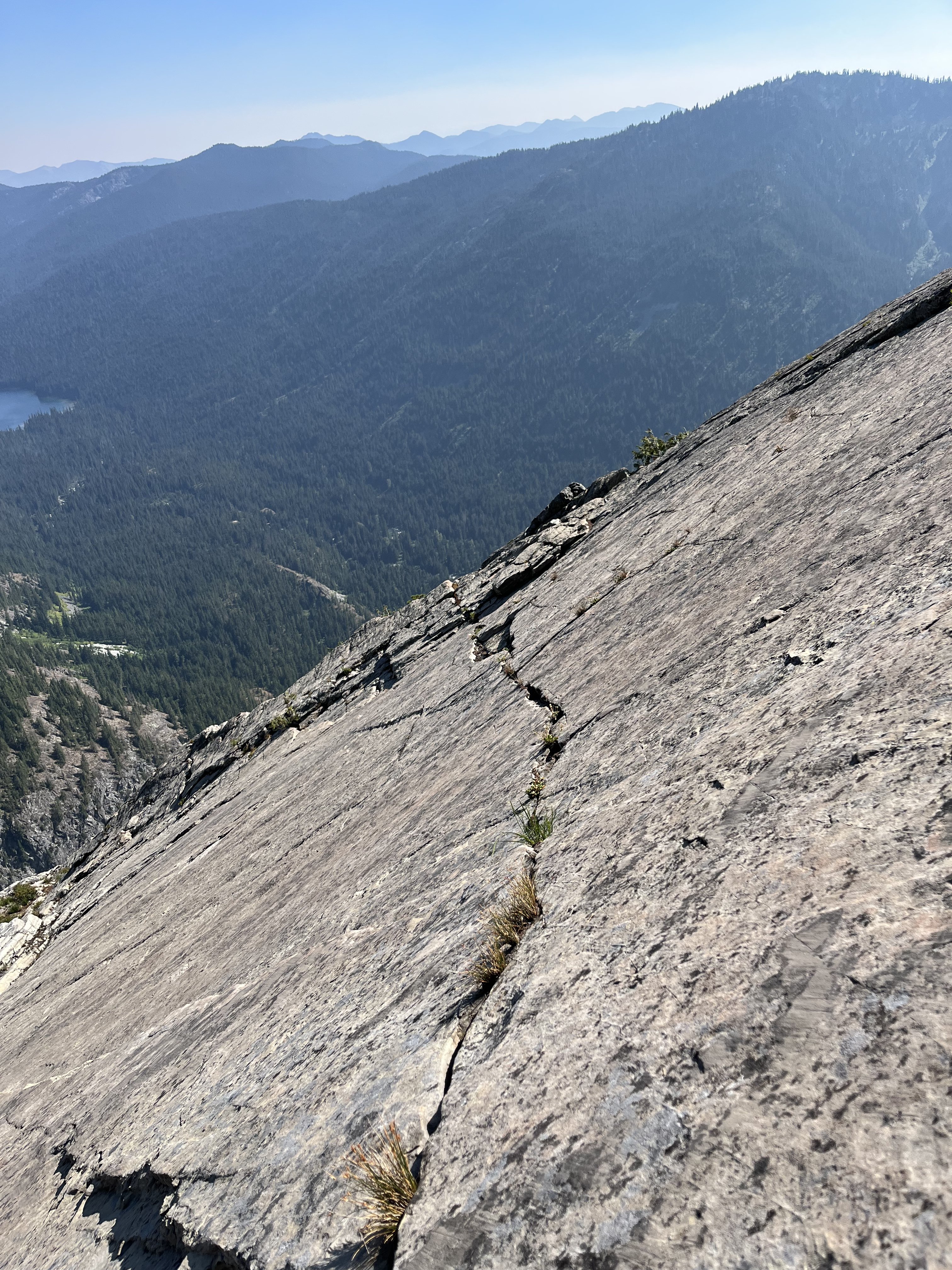
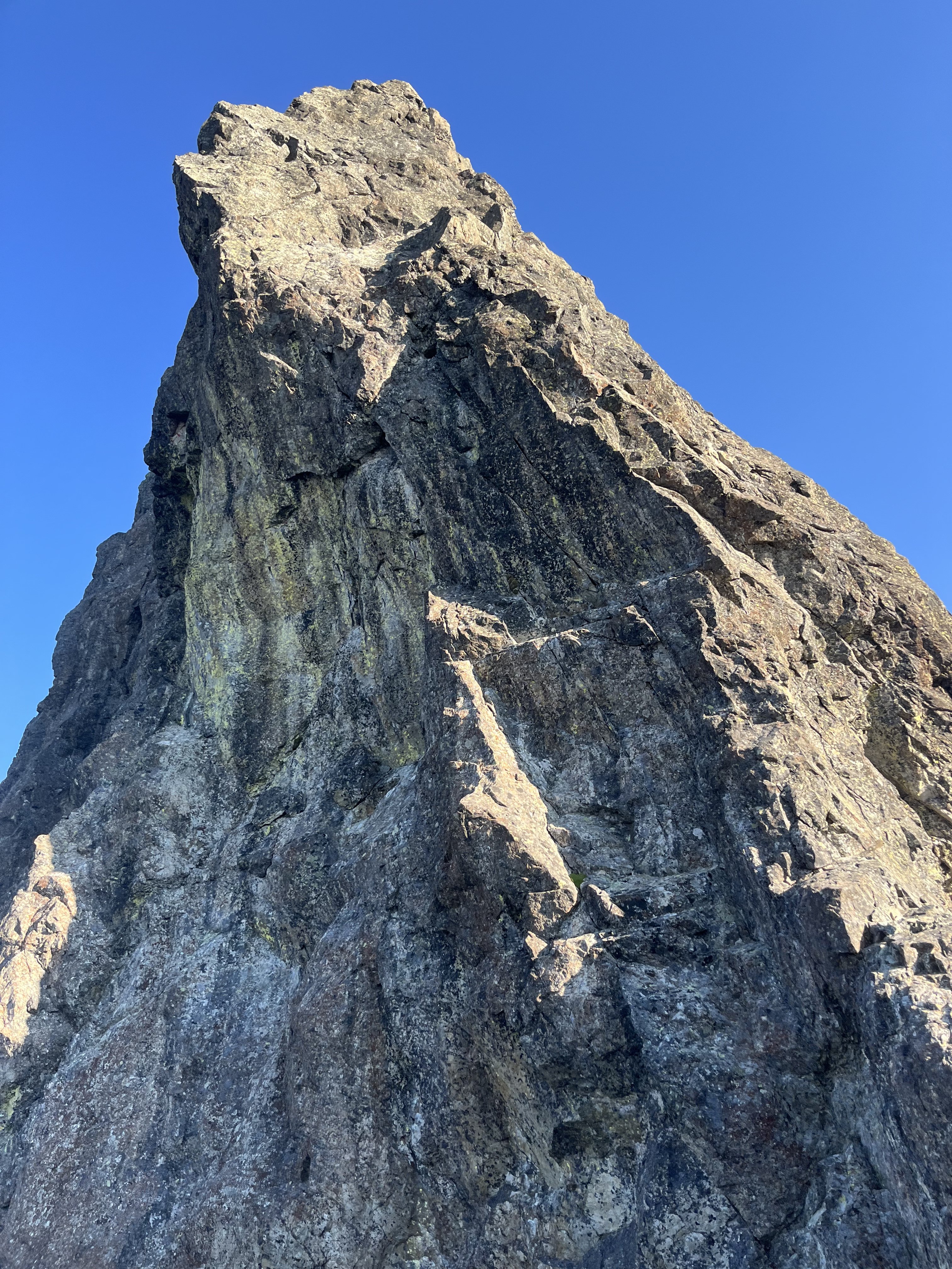
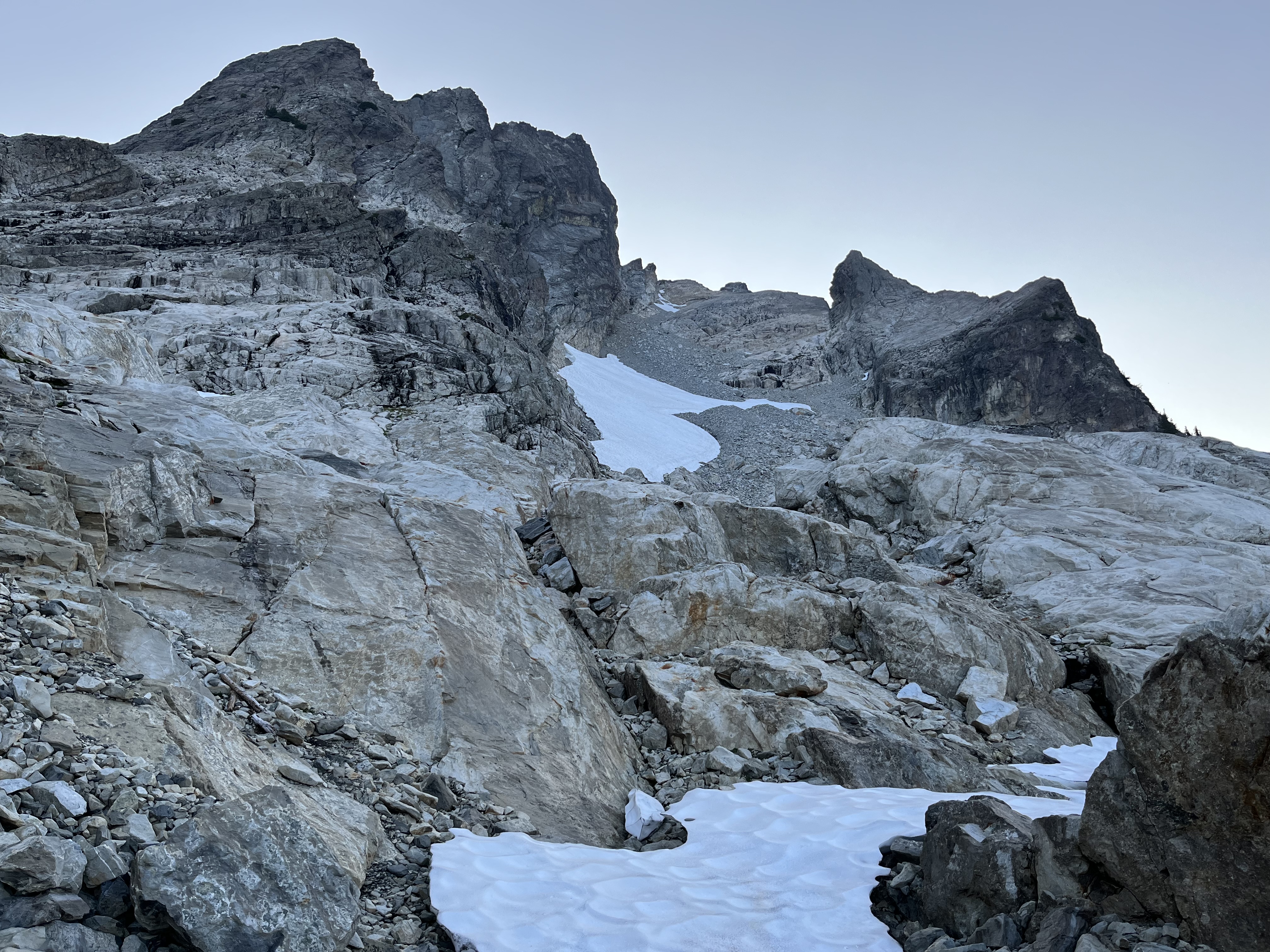
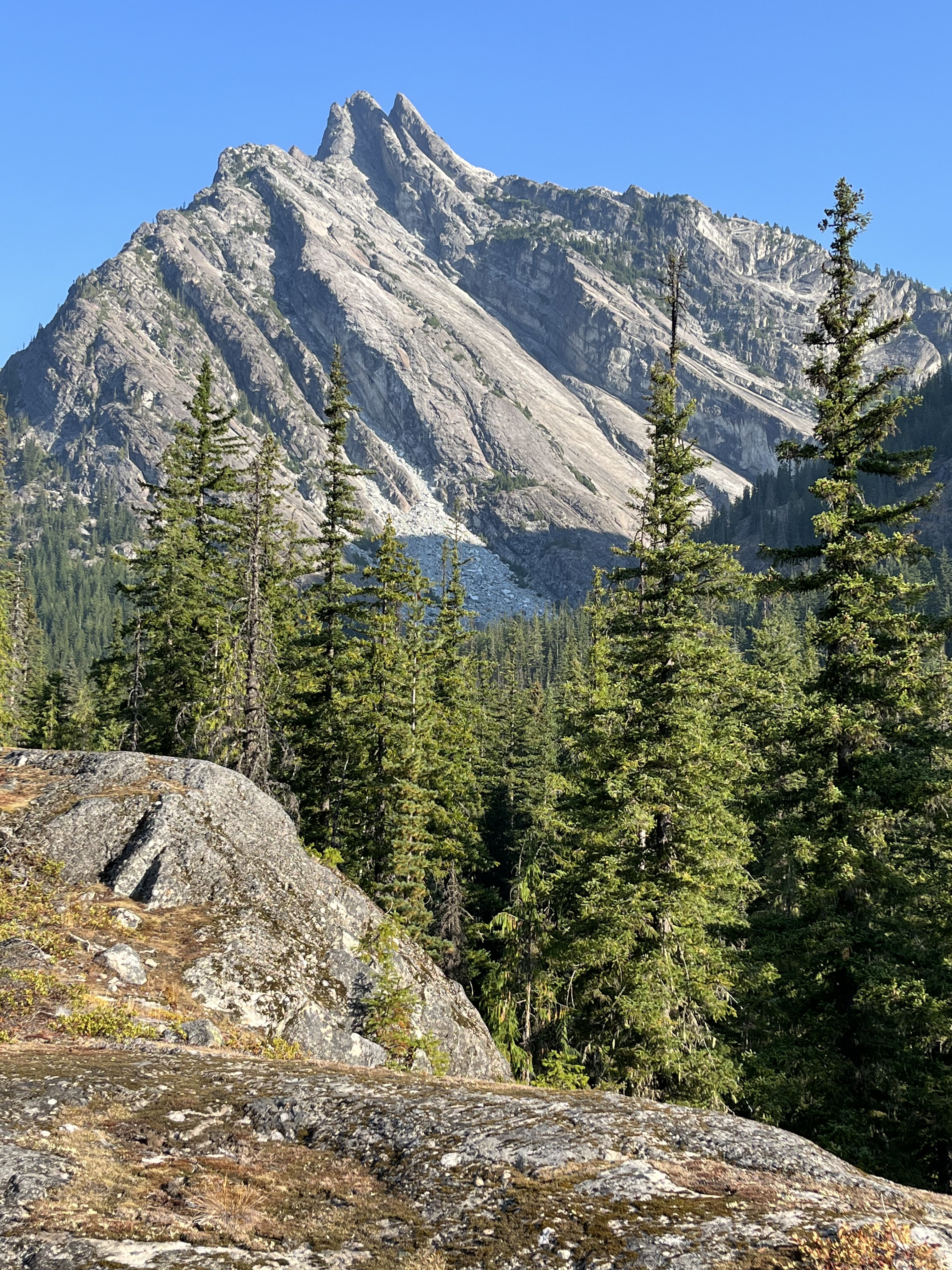
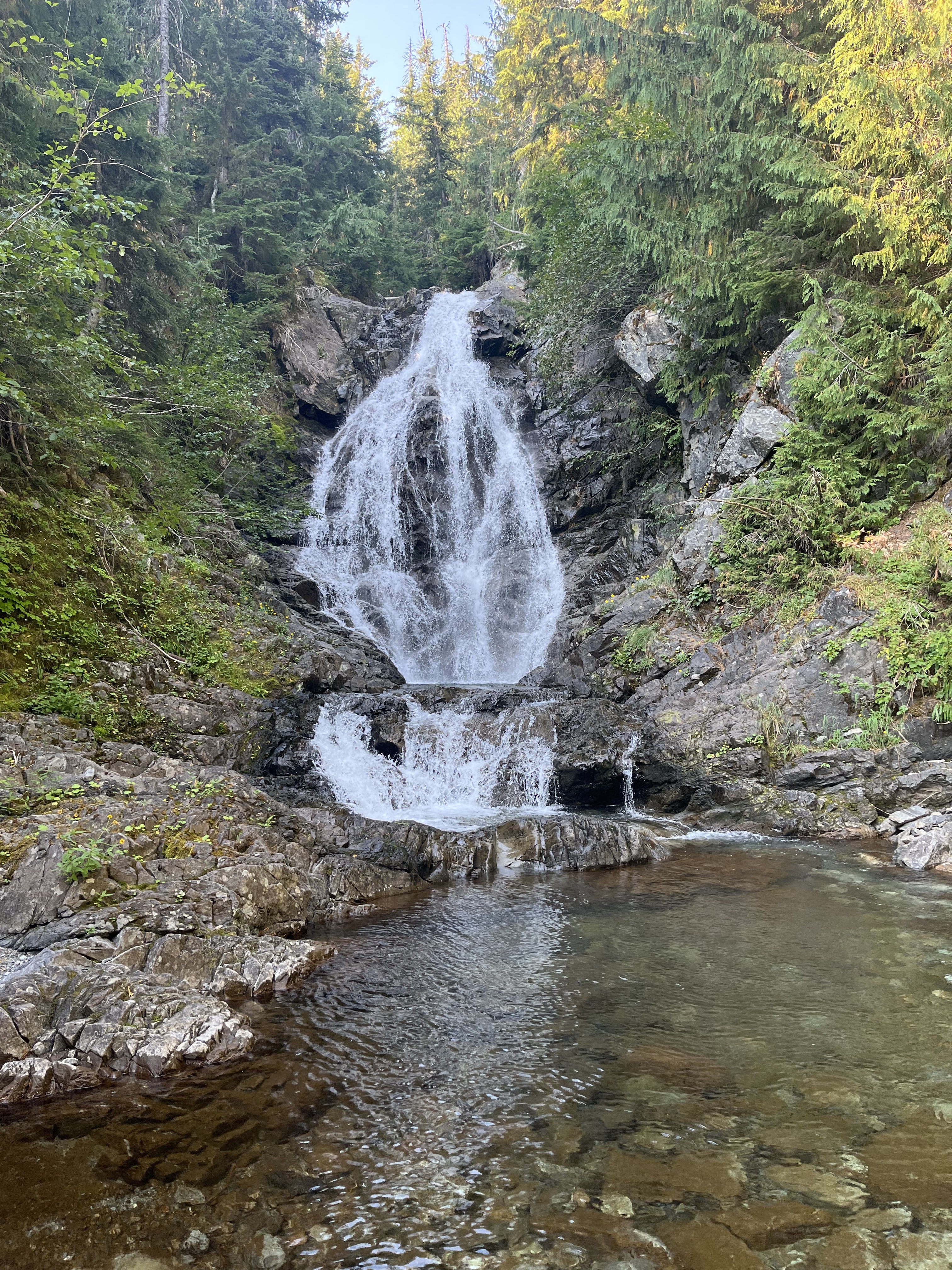
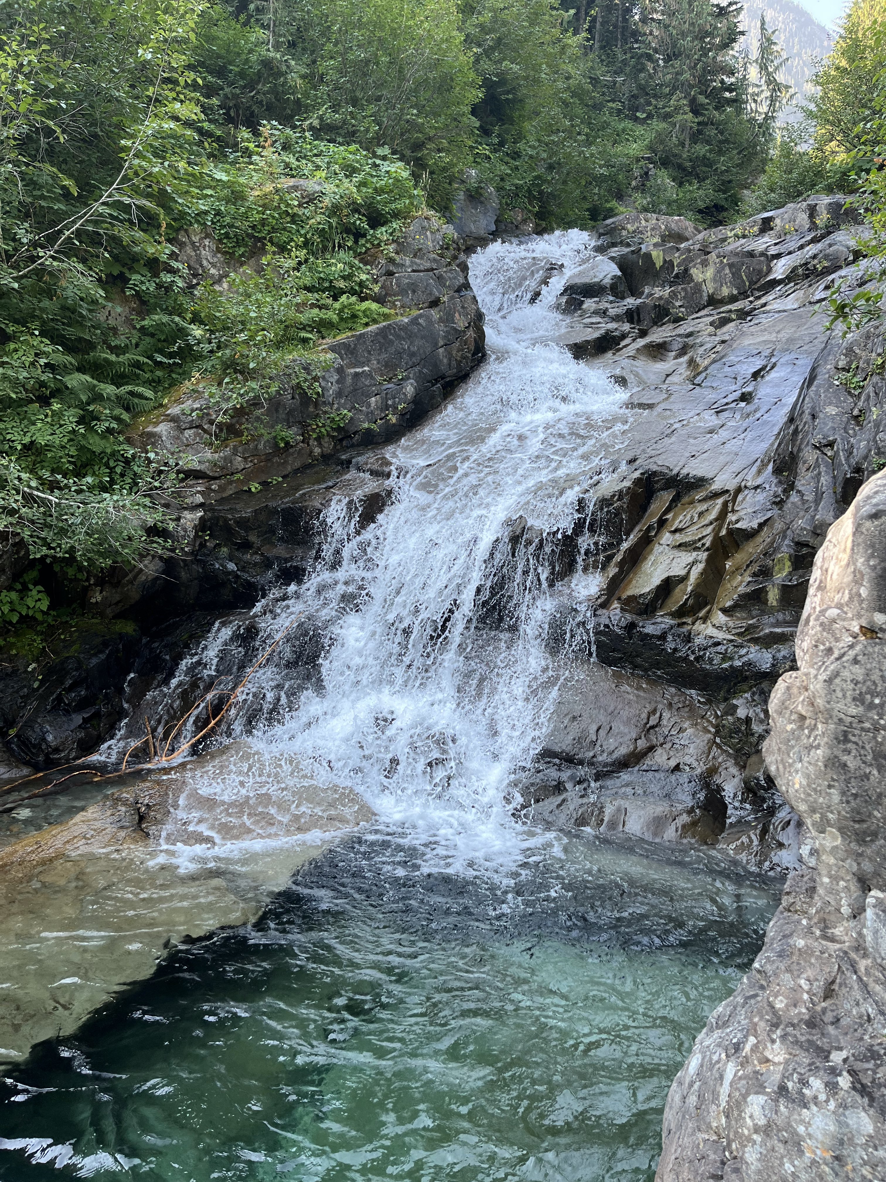
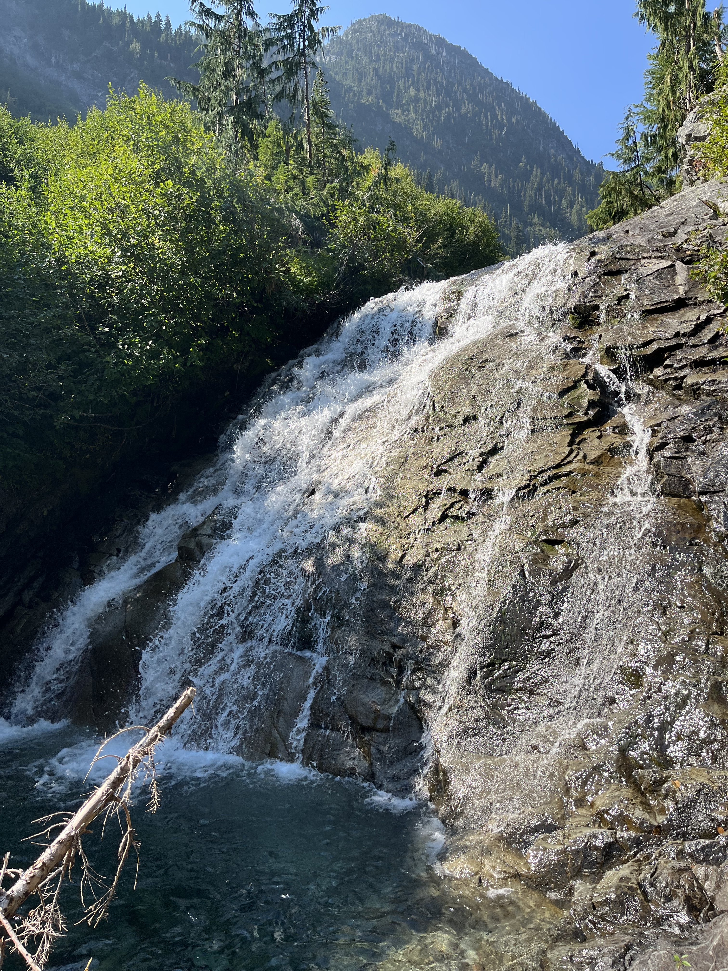
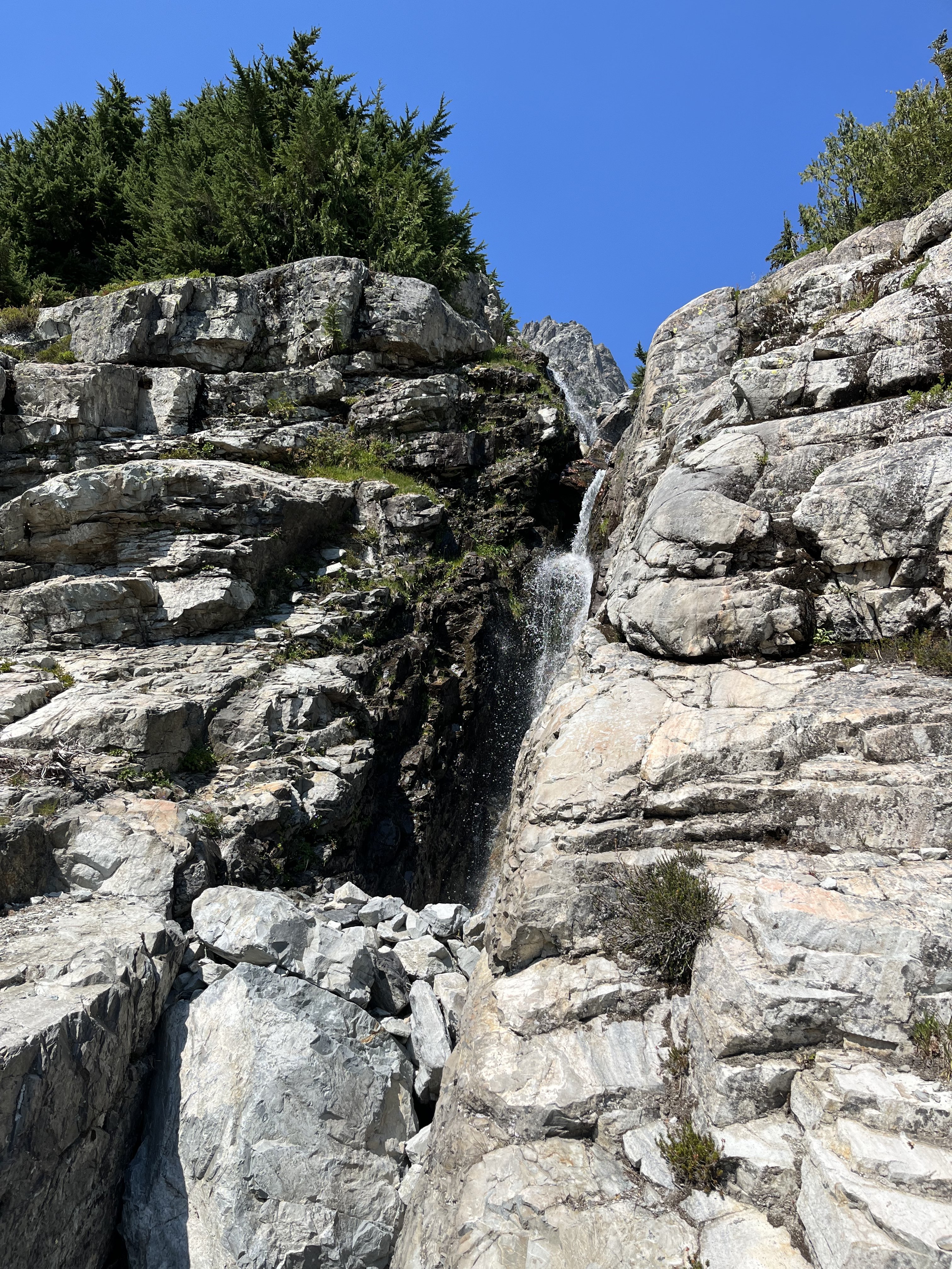
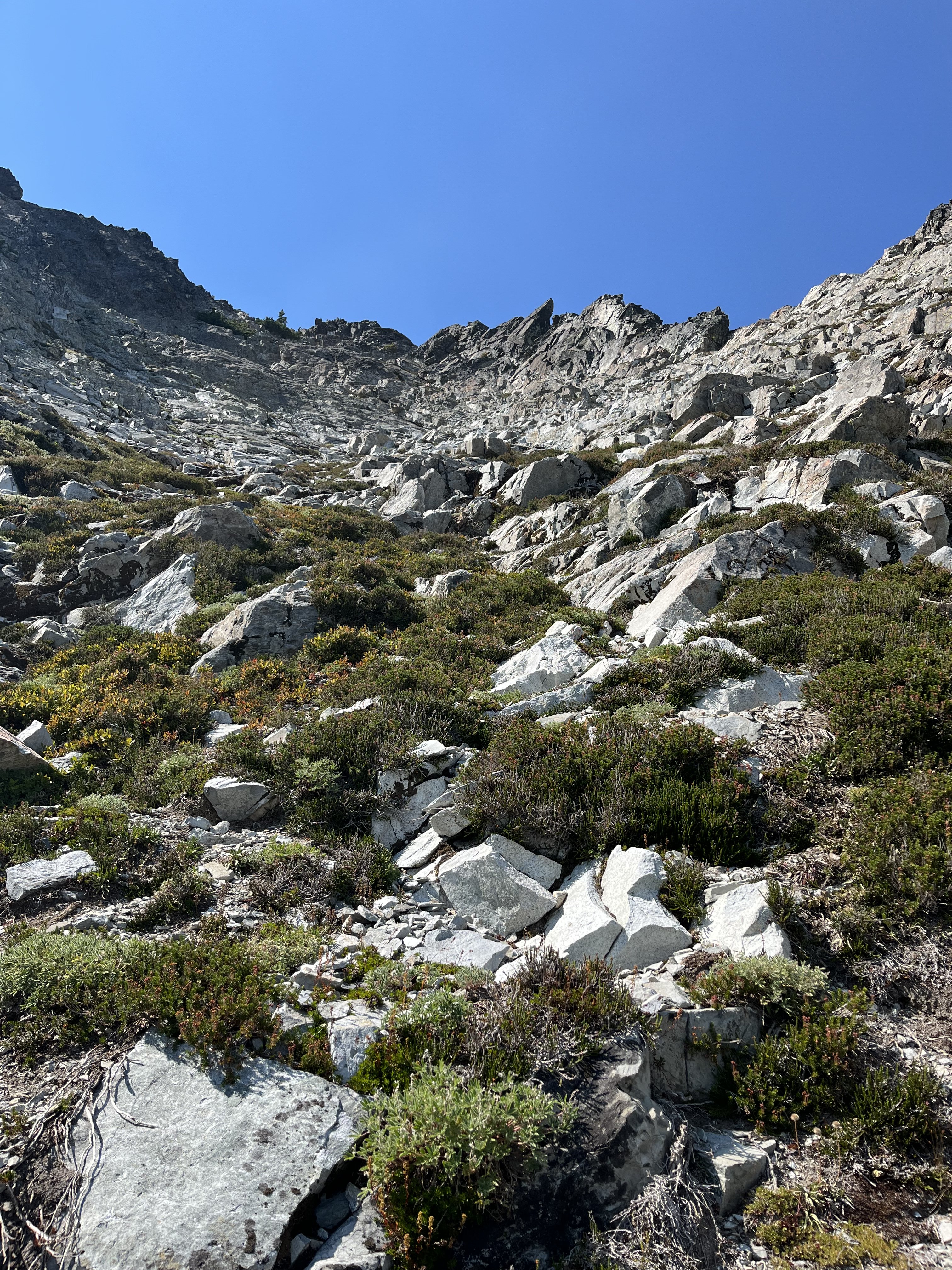
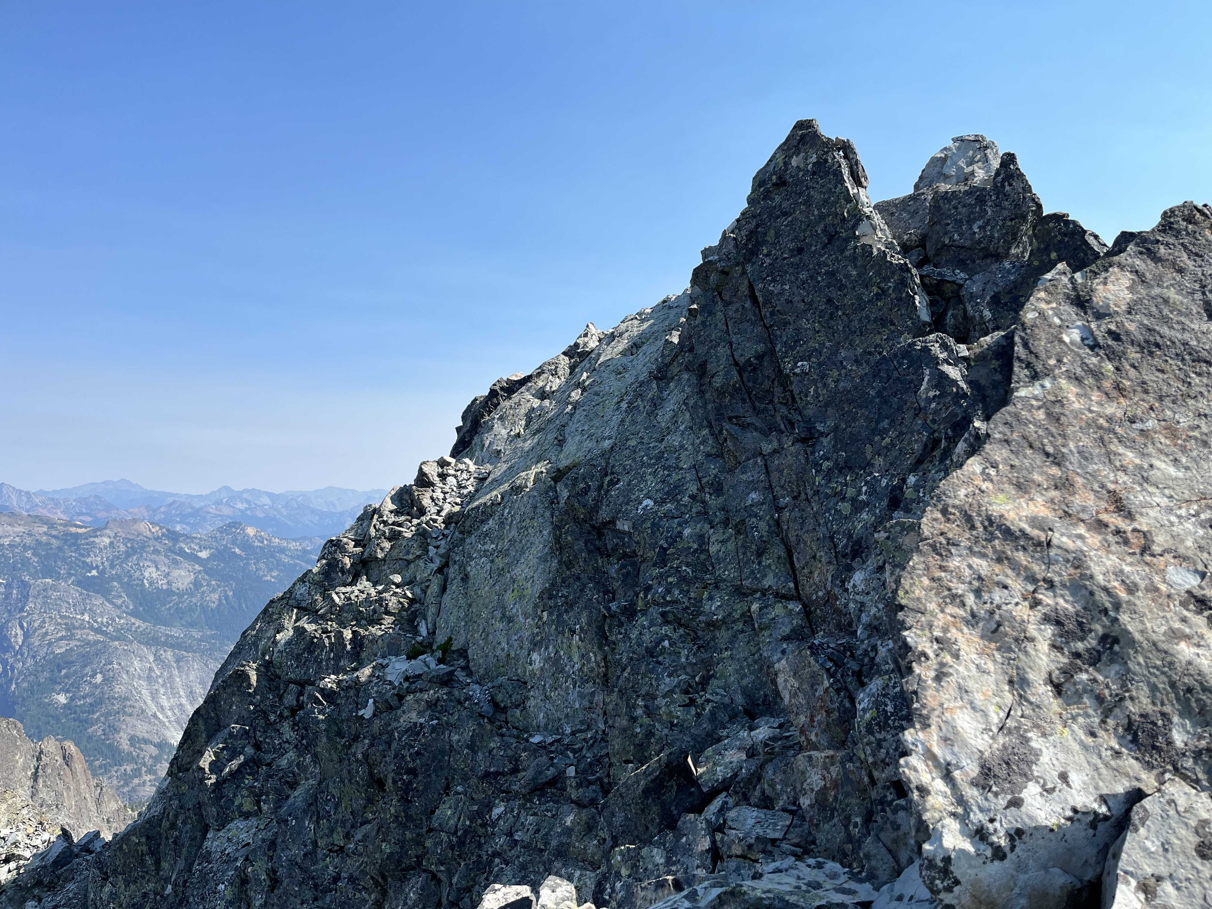
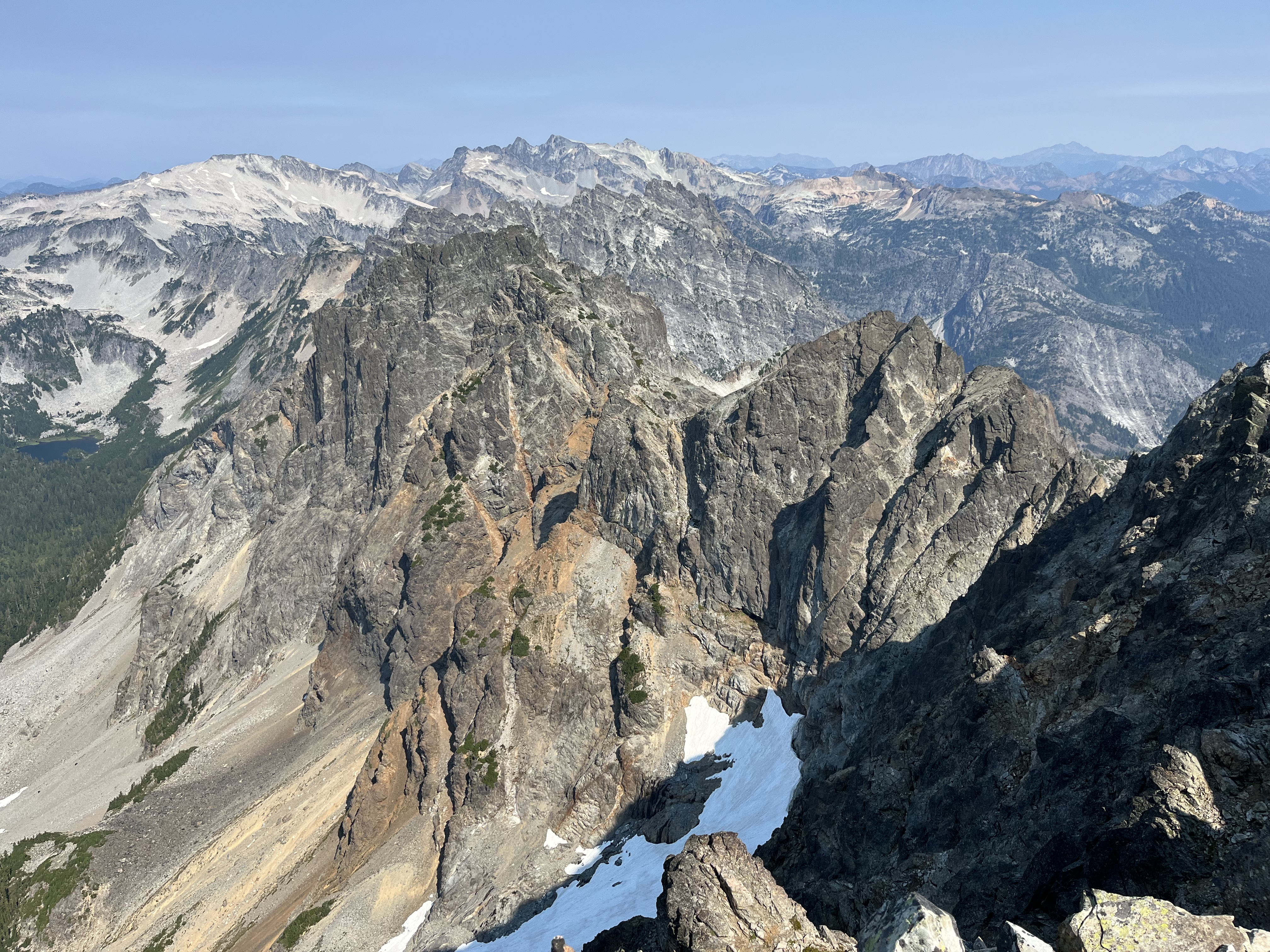
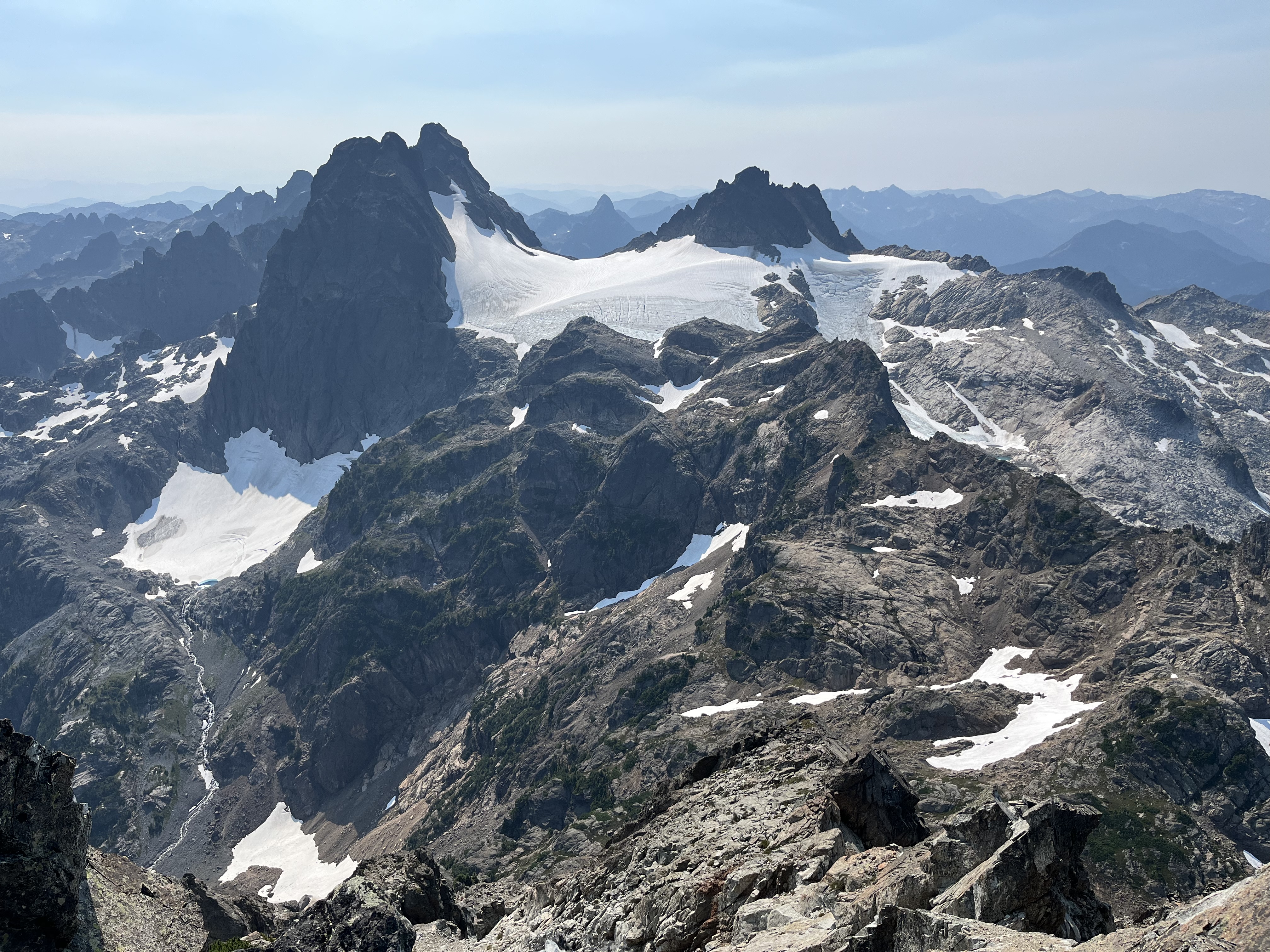
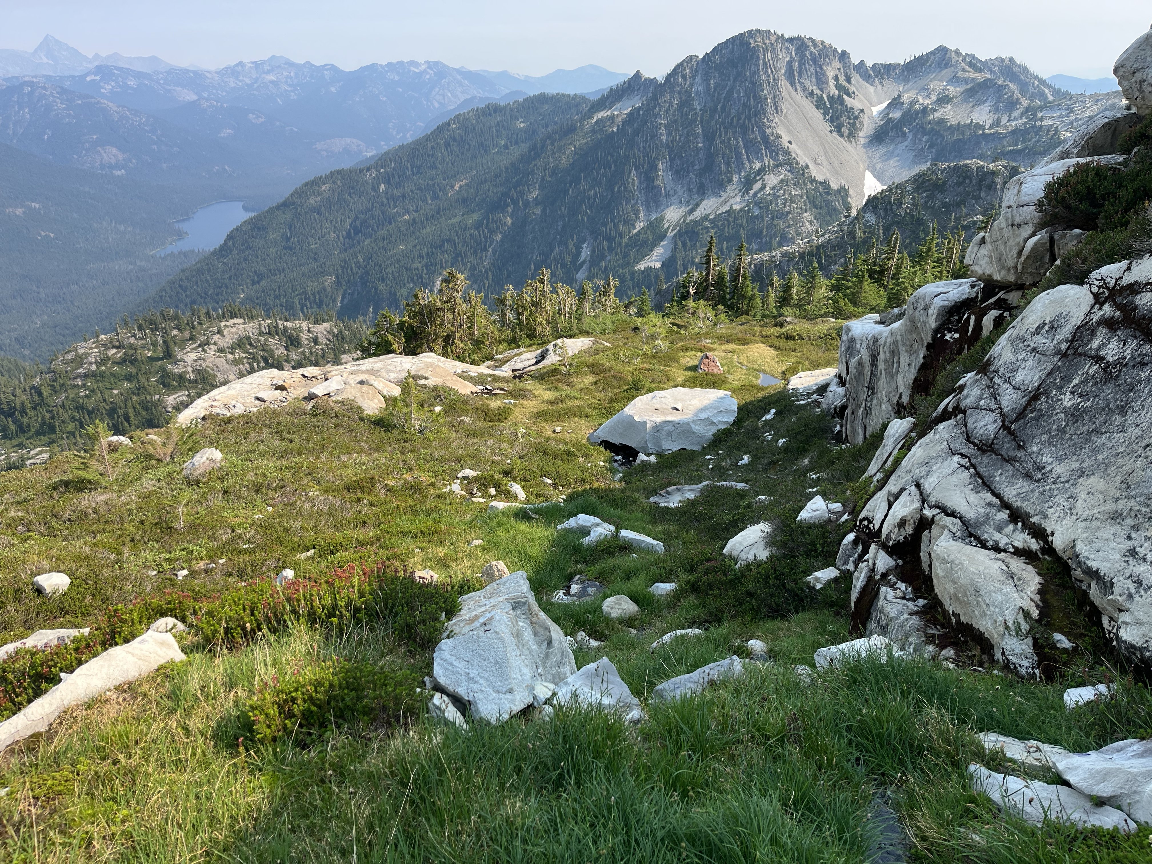
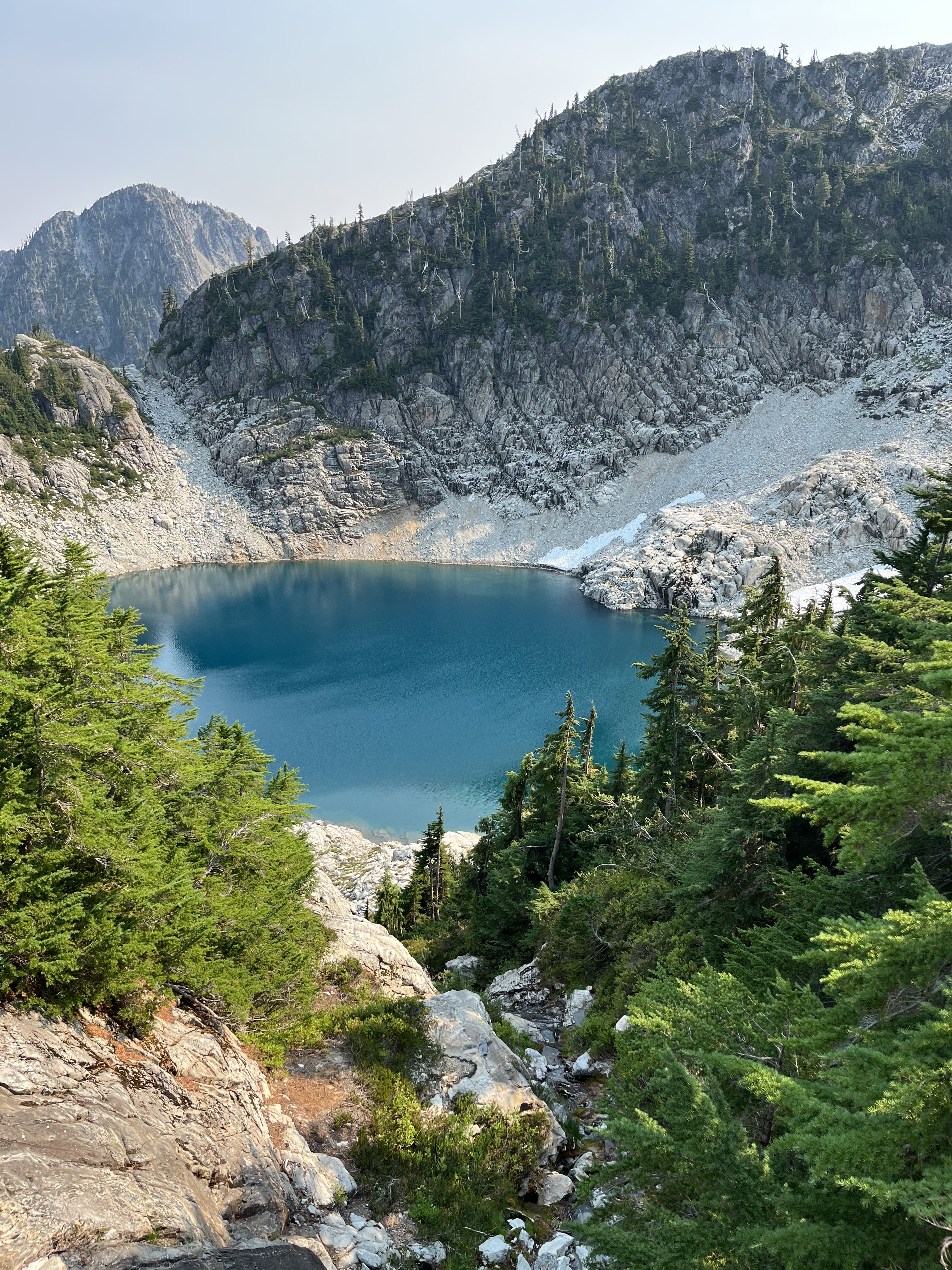
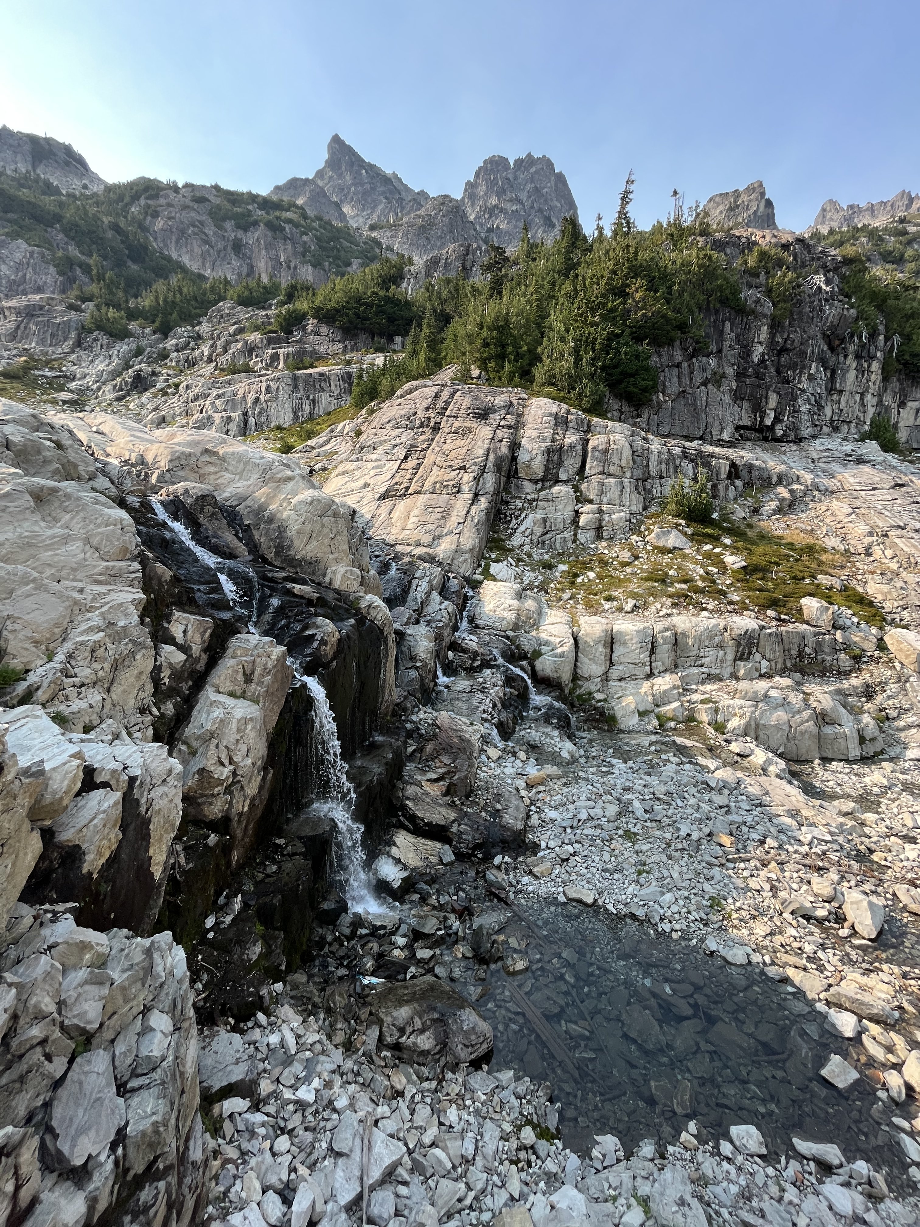
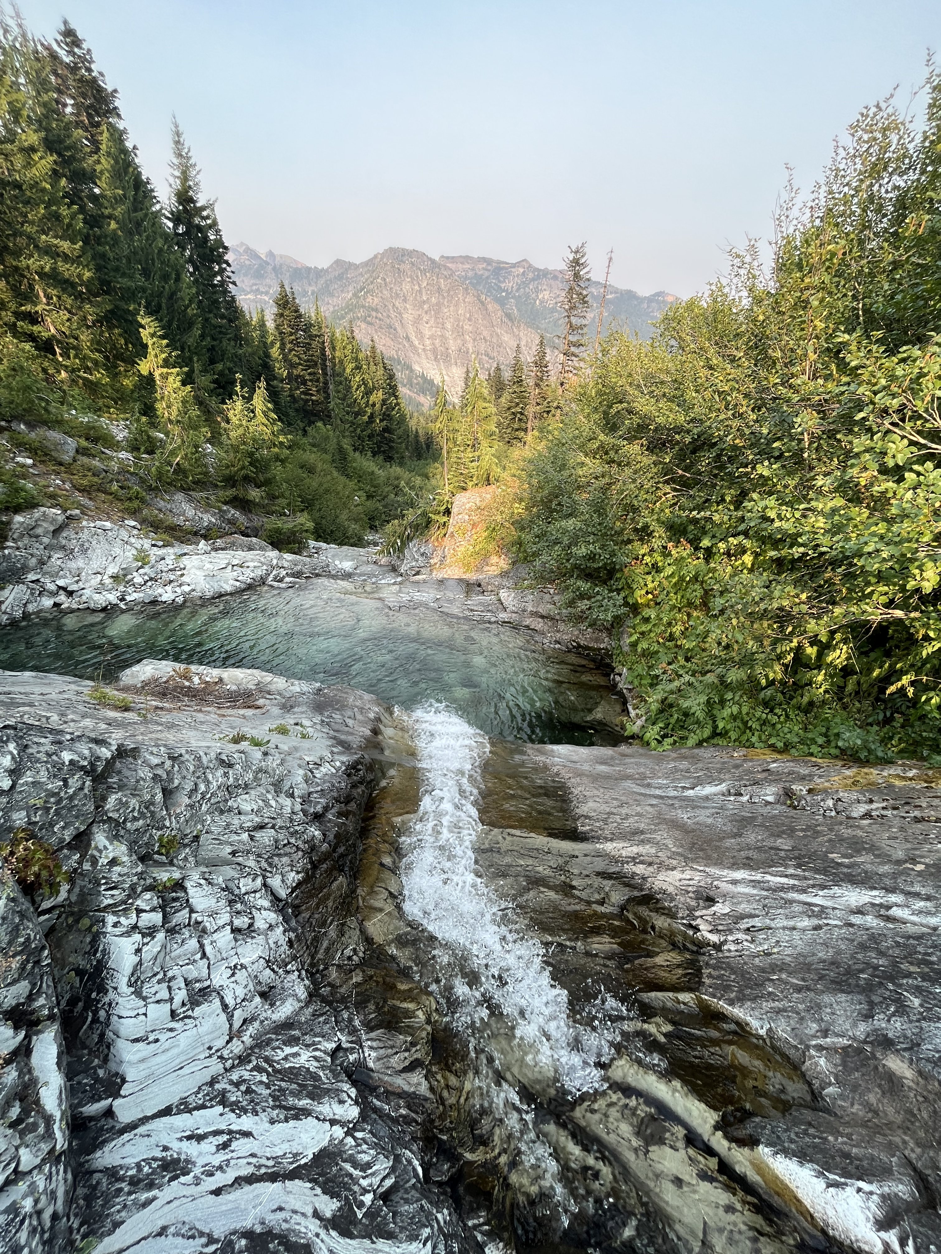
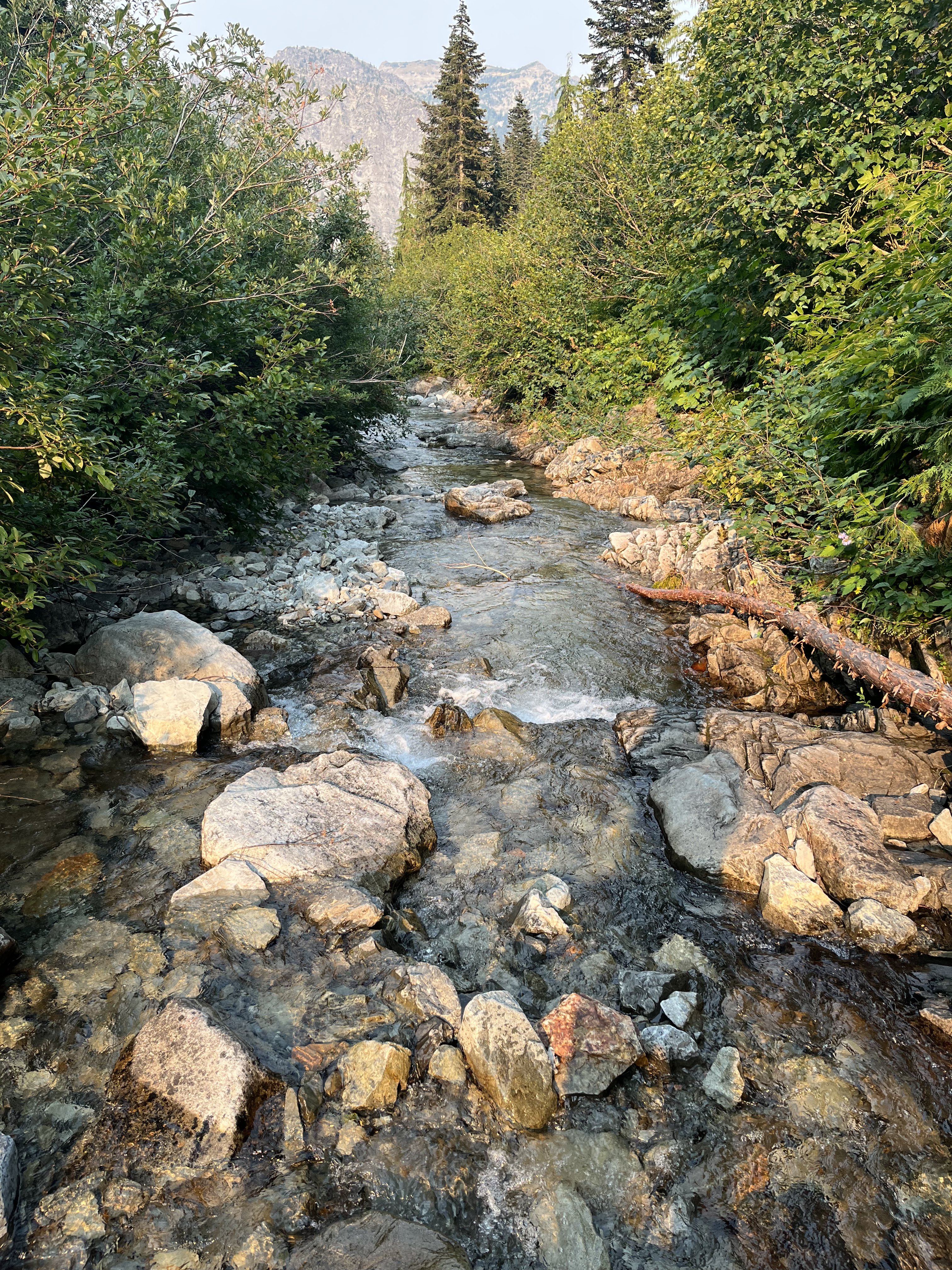
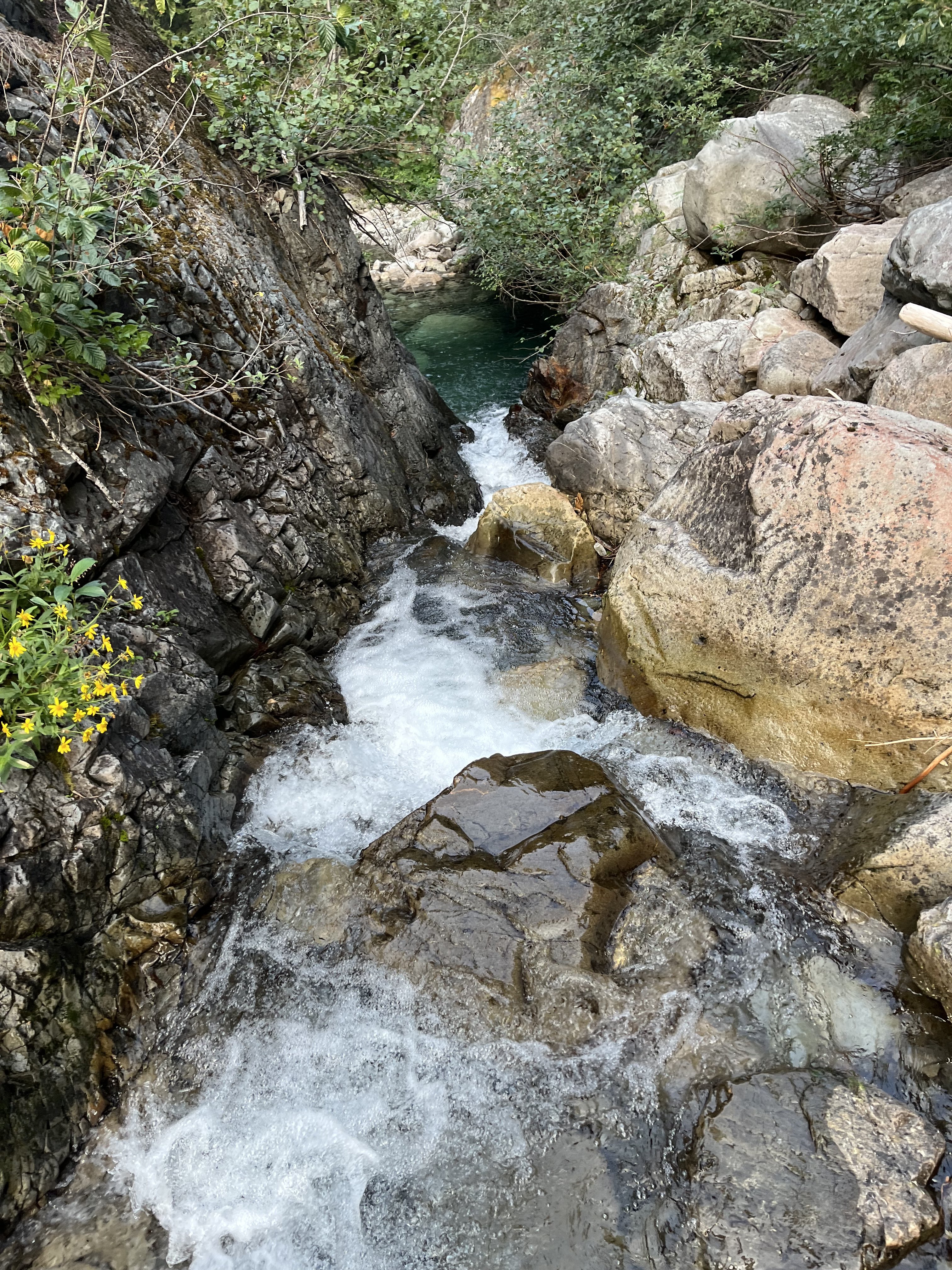
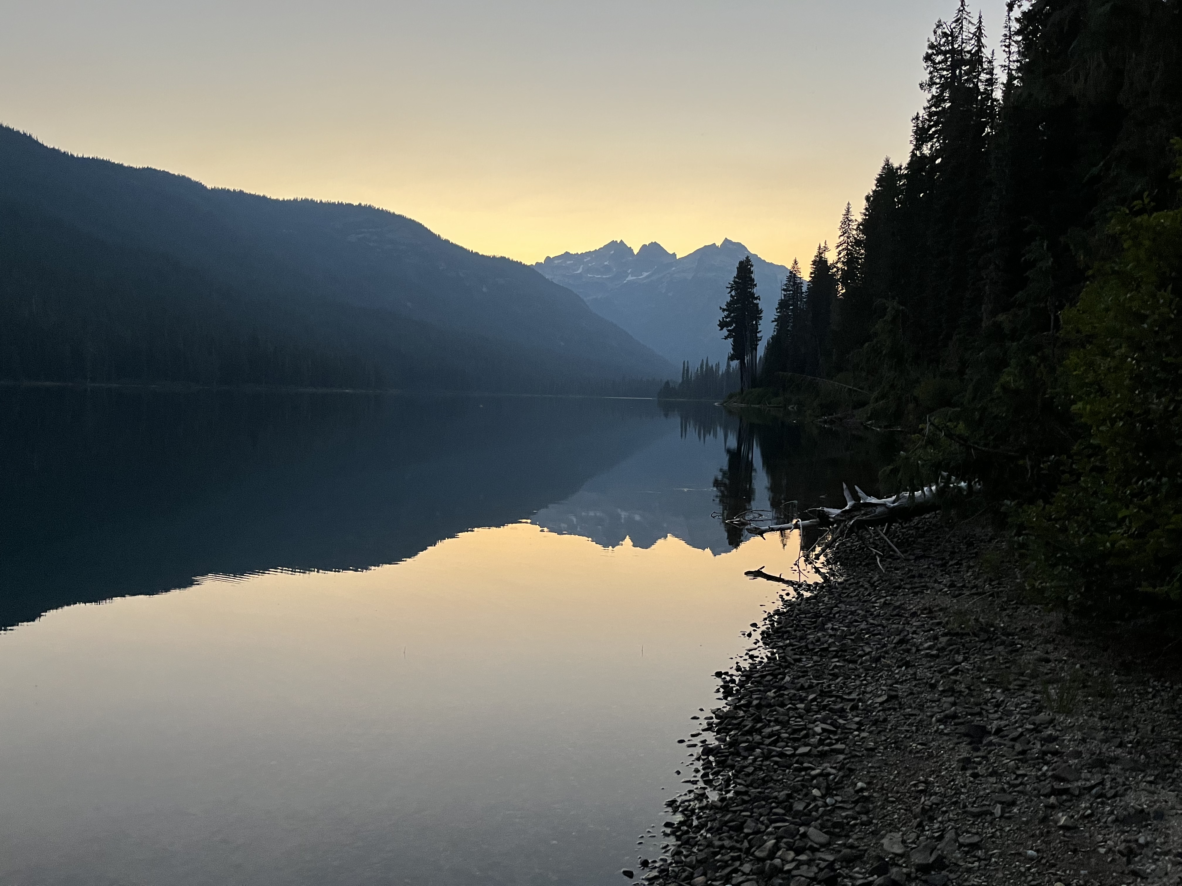
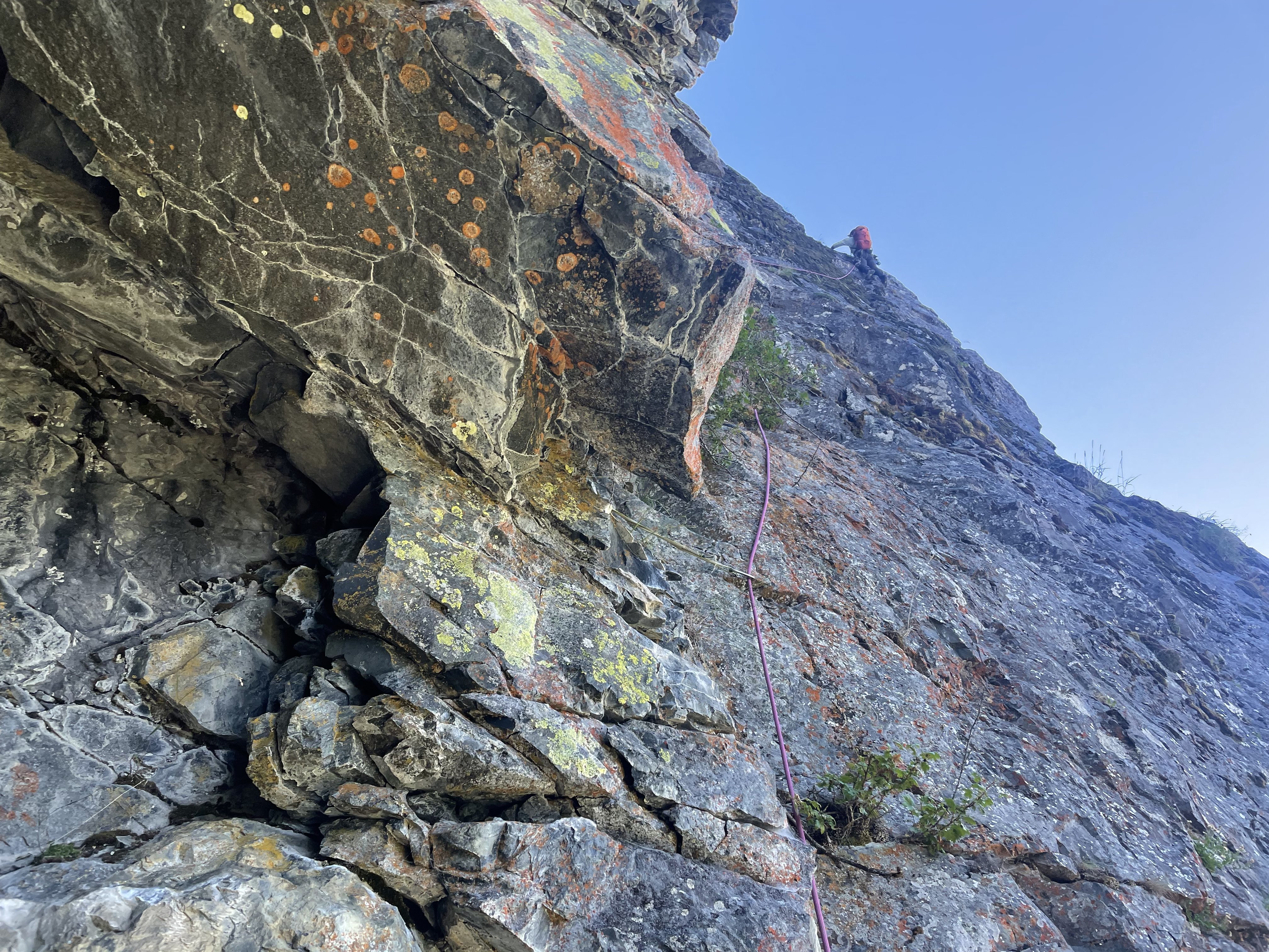
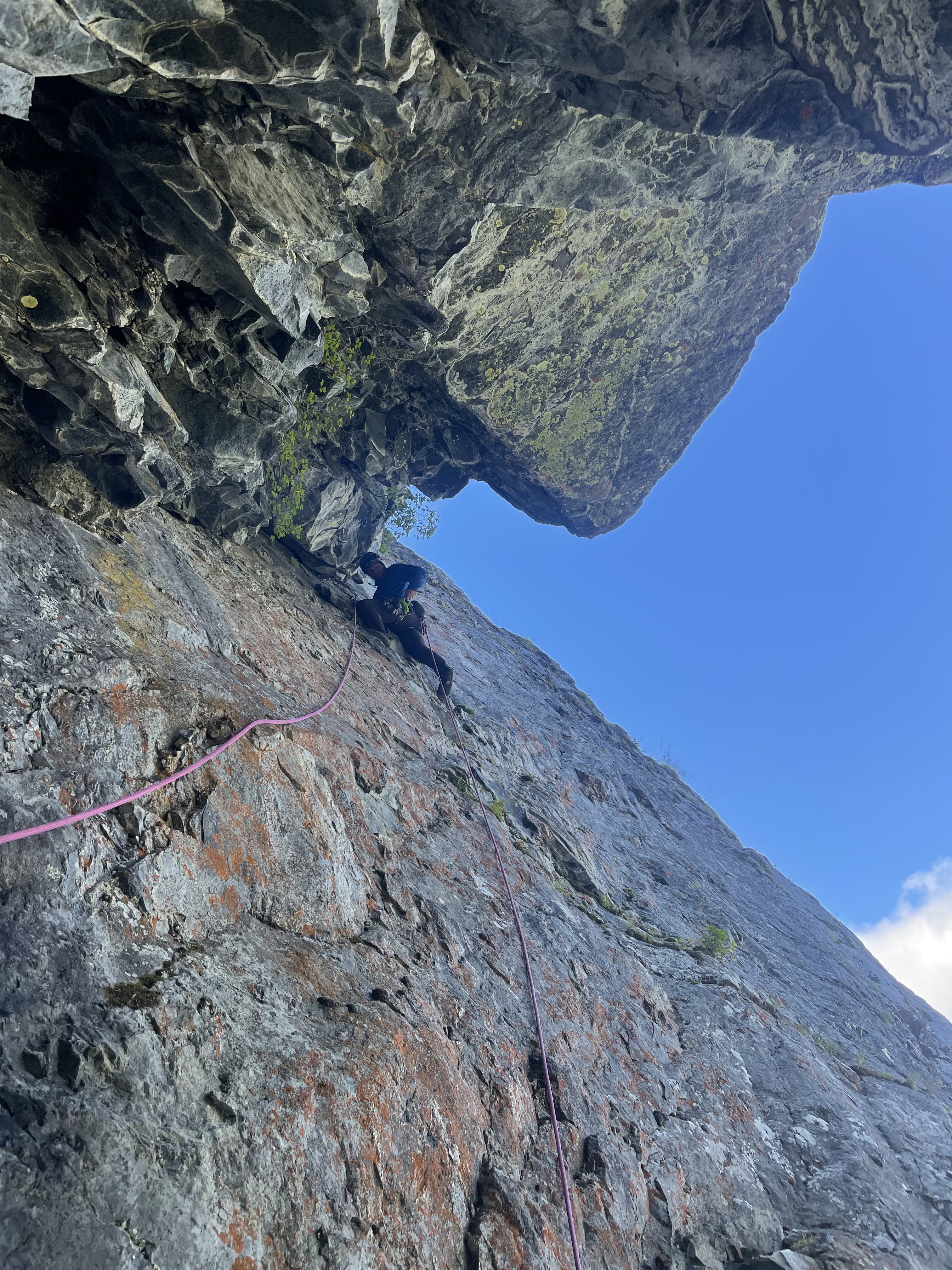
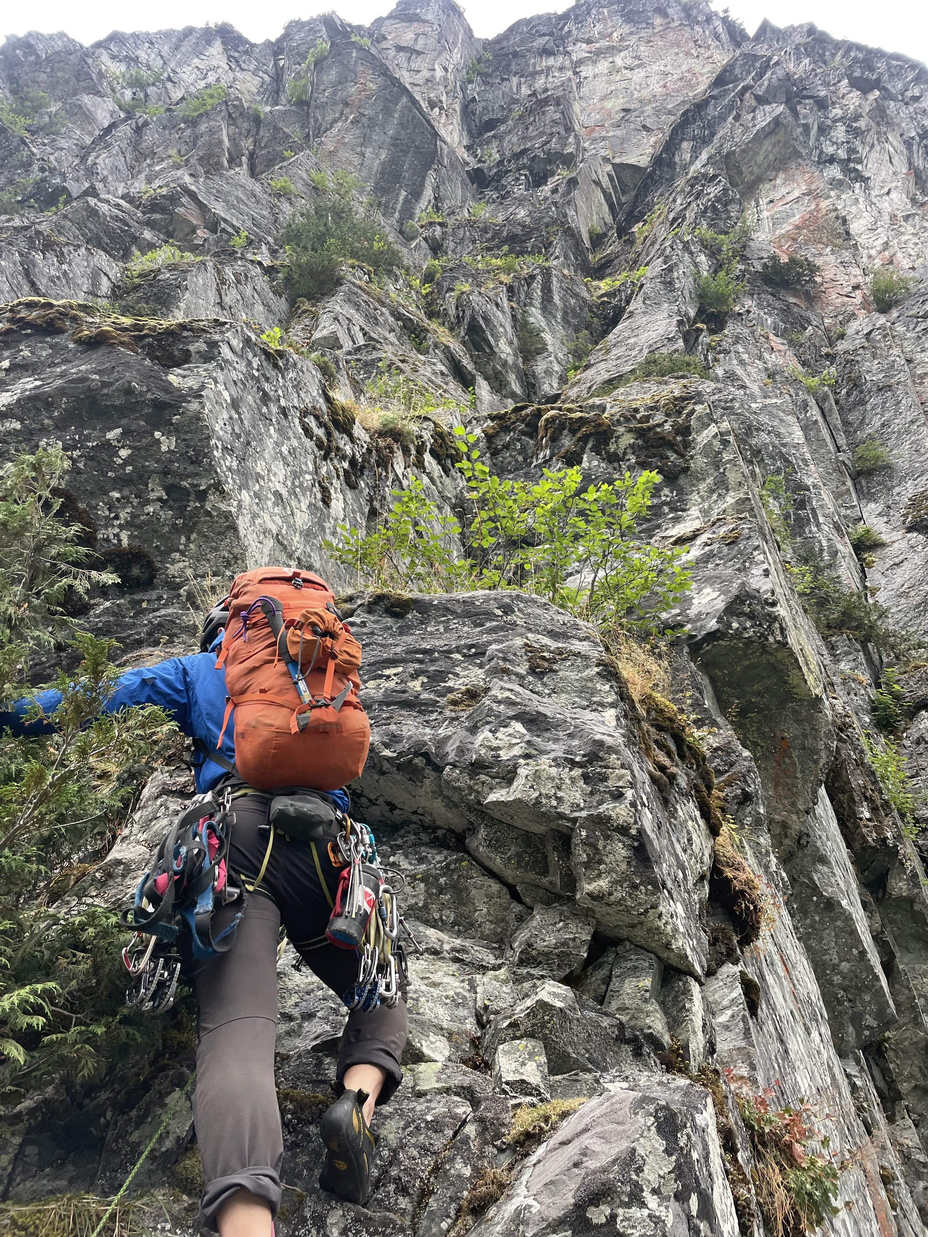
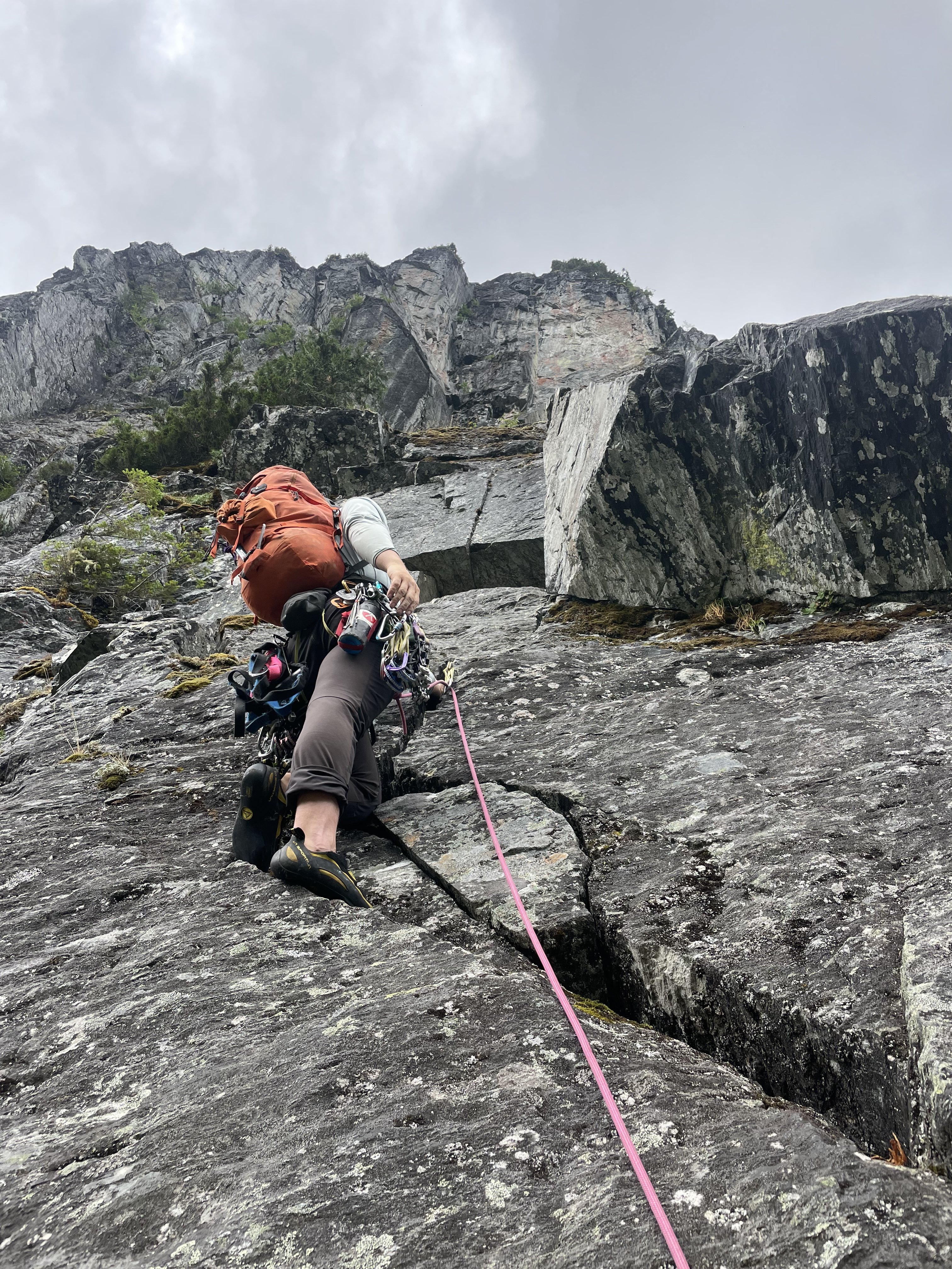
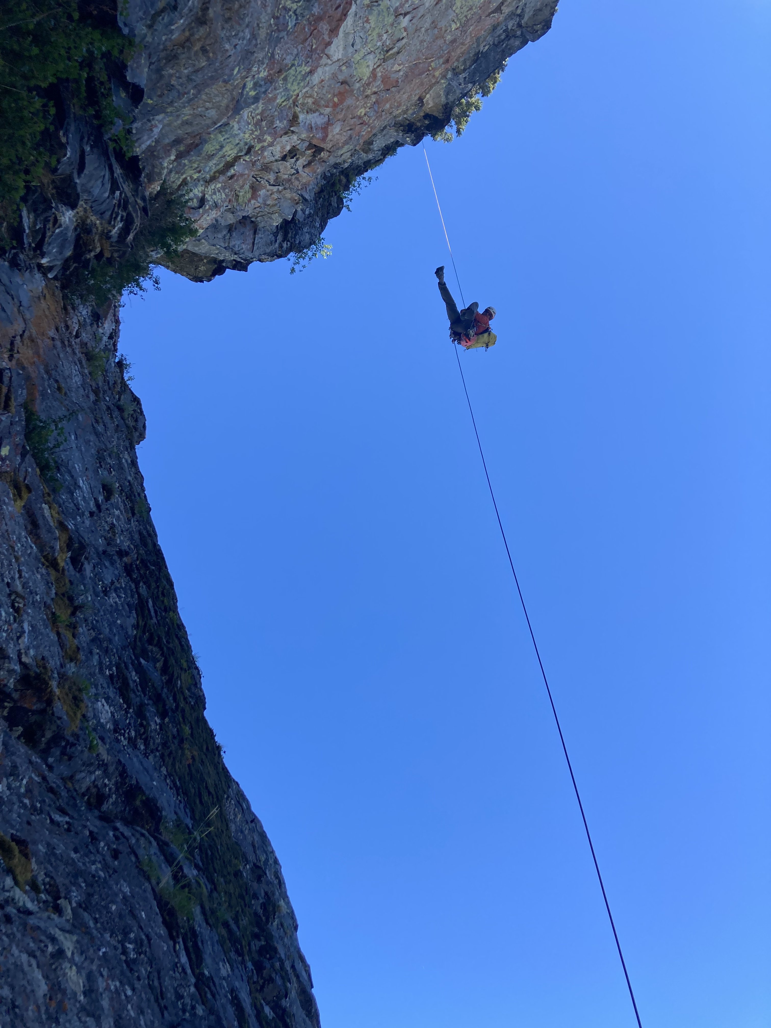
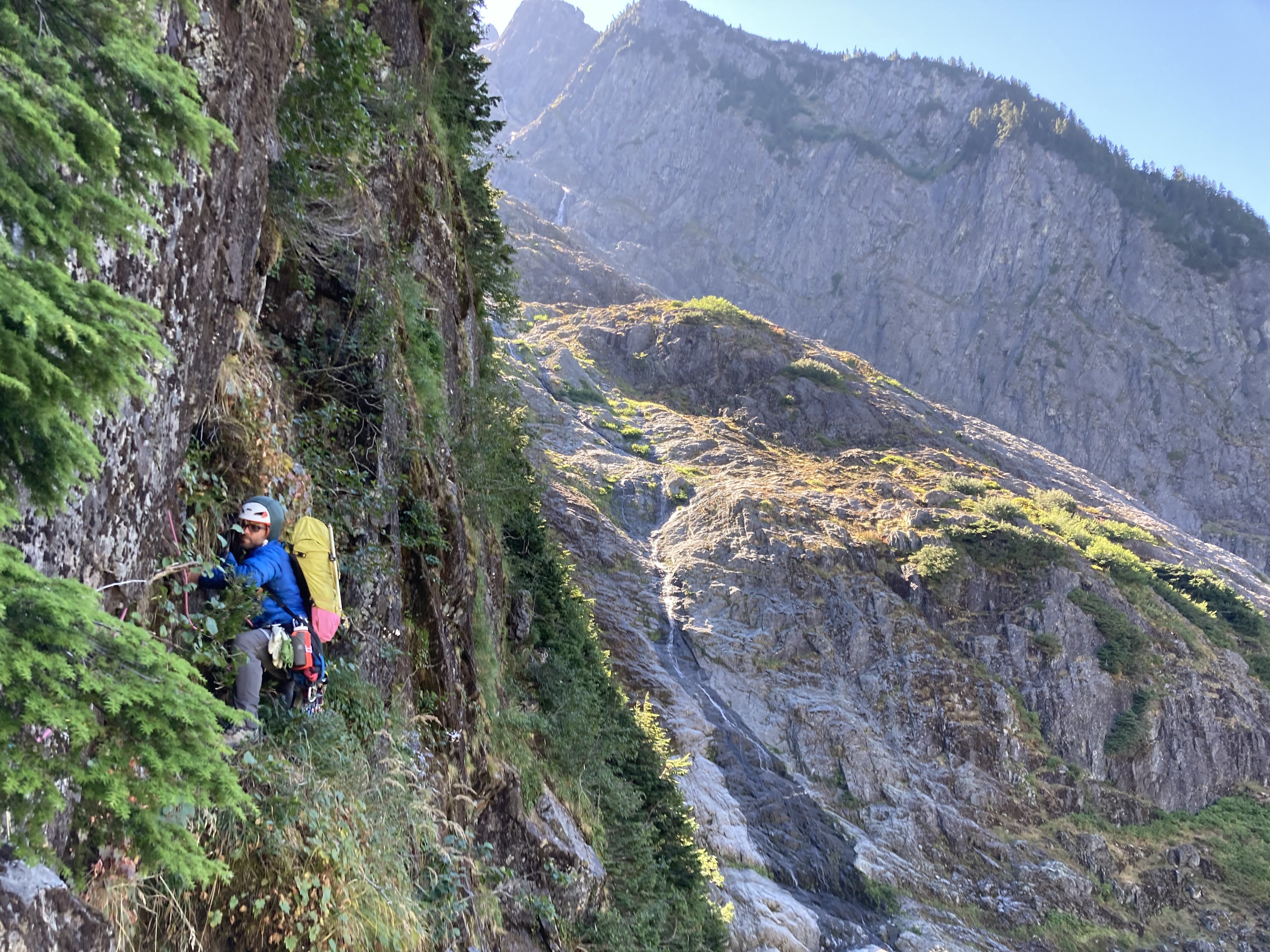
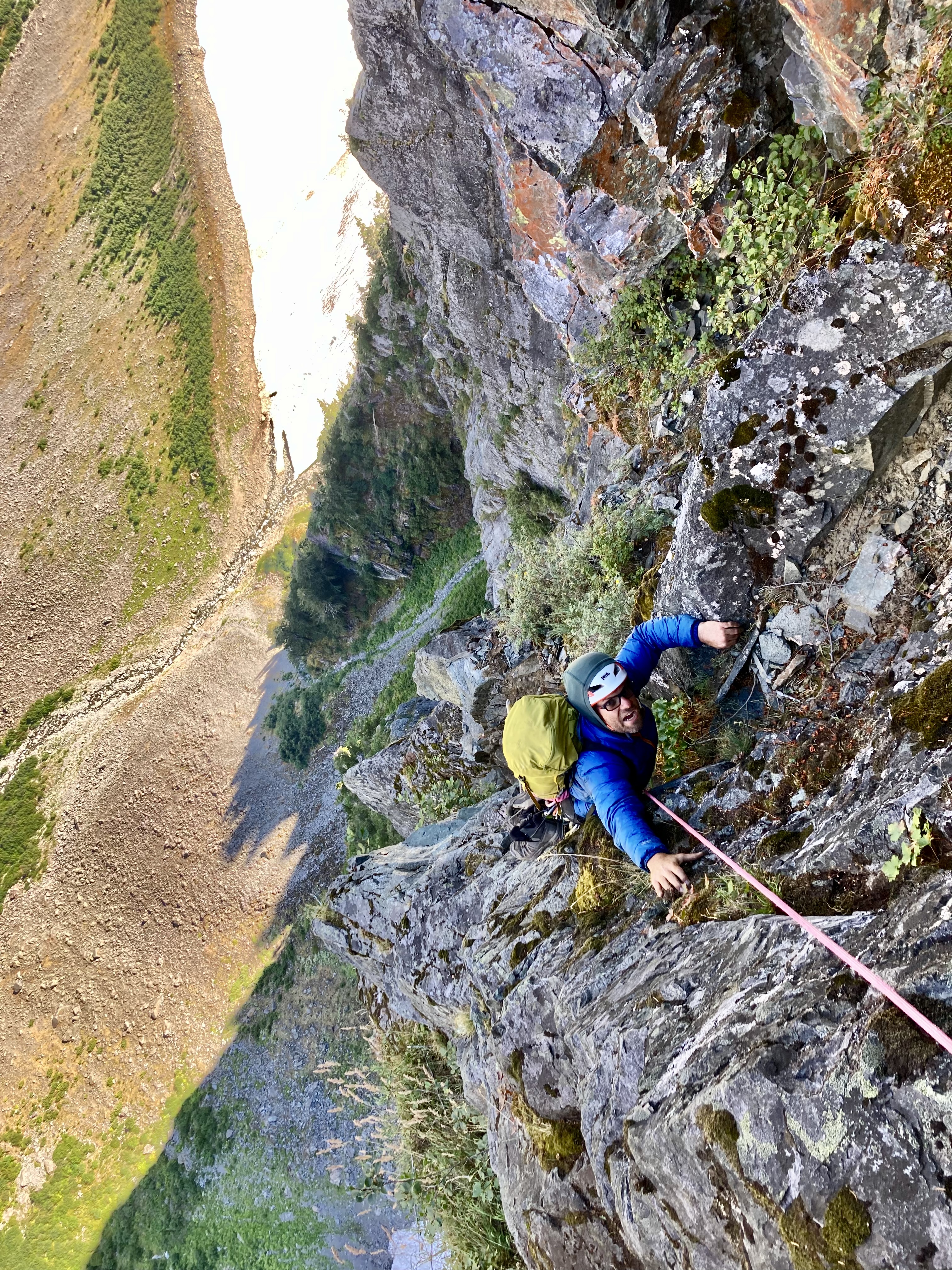
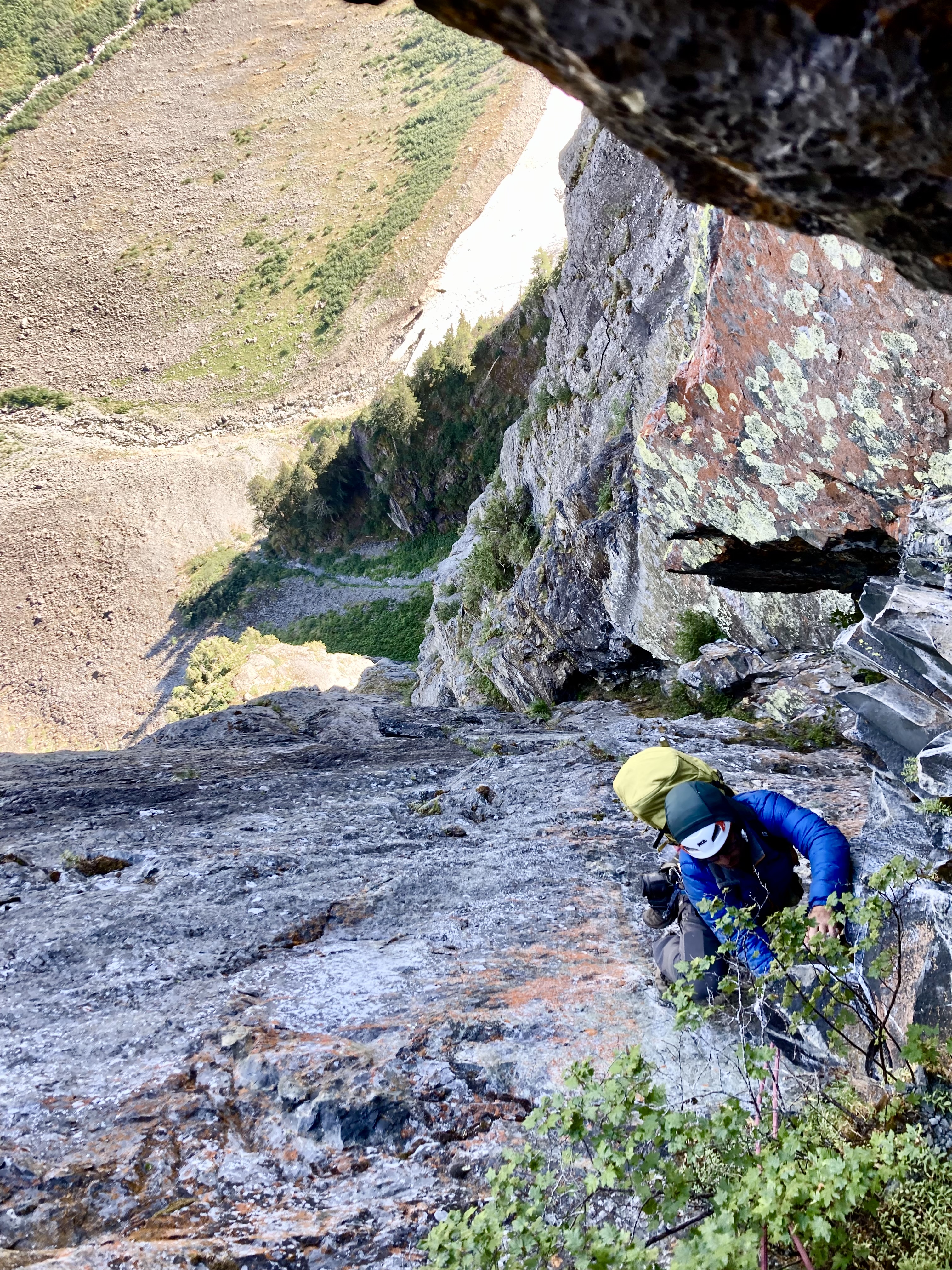
Trip: Bear’s Breast + Summit Chief - SE Face on Bear’s Breast; E to W ridge traverse on Summit Chief Trip Date: 09/01/2022 Trip Report: On Thursday I climbed the slab on SE face of Bear’s Breast (BB). From a bivy at Shovel creek, the next day I hiked to Chief creek and followed it to a lake below Summit Chief (SC), climbed the east side of the massif, traversed the ridge to the summit, descended south back to the lake, then went back down Chief creek to trails leading eventually back to the car. This involved tons of hiking but the mega slab on BB was really fun and the process of discovery made the SC excursion especially rewarding. Early Thursday morning I had driven an hour in the direction of the N cascades before I remembered to check the forecast one last time. I didn’t like what I saw. I had somewhat bold plans for 3 days in the Eldorado area. It seemed like a fair bit of smoke was forecast. The area’s main draw for me is the view, so I shelved that plan for another day. The smoke forecast looked clearer further south so I turned around and headed that way. Jason’s mega slab TR came to mind. I took screen shots of his unusually detailed beta before leaving service. Neighboring SC was also in the back of my mind. I didn’t know anything about it, but was pretty sure it had a scramble route. To make up for the comically long drive I did a mix of fast walking and slow jogging on the trail to Waptus lake, reaching it in 2.5 hours. I kept going until I found the Shovel creek campsite. I put my harness on to save space in my tiny summit sack and headed to the wall, reaching it about 4.5 hours from the car. I got water at the base, but partly due to the tiny pack I deluded myself into thinking 2L water would be enough for the climb. I would have probably run out even if it took 3L. It was a hot day and the route was in full sun. And the climbing, though easy, was pretty physical. The movement was close enough to hiking that I would invariably go too fast and have to stop to catch my breath. I found mostly class 4 (felt like 3 as long as you didn’t look down) and felt like I had to go out of my way to find low 5th bits, which I did seek out. High up on the face I found a repeating pattern of perfect horizontal foot/hand rails that I used to traverse right, trying to find a little shade. I eventually reached a crest and continued on to its apex, but cliffed out there. I backtracked a little and downclimbed suspect choss to the west side of the ridge, finding a gravelly path leading to the notch by the summit block. I was bonking pretty badly at this point and still hadn’t realized that I was becoming massively dehydrated. I put my rock shoes on at the the notch N of the summit block. I found the climbing just barely difficult enough to justify bringing these, my harness, and some rap cord this far. The chimney pitch might be cruxy if you’re a wide person. I’m pretty slim and I managed to wedge my torso quite snugly. The summit views weren’t great. It was hazy enough that I couldn’t make out much of the Chimney rock area. To the east I saw a landscape comprised mainly of dirt. On the descent I climbed down past the first rap to the station above the chimney pitch. It took me forever to set up my rap due to my growing exhaustion. After the rap I downclimbed exposed ledges to the skier’s left of where I began the climb. Back at the notch I had no choice but to sit and rest for a while despite noticing that I was beginning to fall behind schedule. The snow was firm coming down the E side of the mountain, so I used my axe. Crampons would have been nice but they didn’t fit in my tiny summit sack. At the first seeps I found I took another long rest and began guzzling water. As I drank and drank I finally realized how dehydrated I was. A few liters later I started to come back to life and picked up the pace. The scrambling on this side had pleasant solid slabs and ledges. I was racing the fading light. The darkness won but by the time I had resort to headlamp I had less than 200 feet to descend to reach Shovel lake. I did a bit of controlled veggie assisted sliding down the final slope, stumbling out at the exact spot where a single big river shoe sat. Descending Shovel creek in the dark turned out to be nontrivial. It wasn’t terrible but there was a little bit of everything, from dry log jams to bushes to gravel bars to boulder fields. The highlight was running into a small patch of berries that I wasn’t familiar with. Seemed to be delicious small red salmon berries, cap-like, almost as thin as thimble berries. I reached my bivy near 10pm, about 13 hours after leaving the car. It was a longer and more difficult day than I anticipated. I tried to eat and continue rehydrating. I slept poorly and felt physically and mentally sluggish the next morning. I considered hiking back early, or the grim prospect of relaxing by Waptus lake for a couple hours Instead I adopted a low commitment mindset to exploring for a way to Summit Chief. I crossed Waptus river and hiked to the junction with the DMG trail. Maybe I could take up the hill for while, and then traverse west at around 3600’. I’ll probably never know how that works because I was enticed by Chief creek. When I reached it I saw that it was perfect for rock hopping. Given the hour and the unknown, a summit seemed unlikely, so I decided to just go up the creek for fun and see what happened. It felt good to explore with this low commitment mindset, but it also weighed heavily on my mind that every step forward was a step further from pizza. I used some dry open ground to the left of the creek but mostly hopped rocks for 15 minutes until I reached a waterfall. I bypassed it with a bushwhack up to the side then rejoined the creek. More waterfalls followed. One bypass on the S side took me high above the creek and I went for a while through the forest there, trying to find the driest ground I could. I may have crossed the creek once or twice more, I’m already forgetting. At one point on the S side of the creek I realized I was entering a mile long stretch of impenetrable alder, but saw mature forest on the N side, so fought my way down to the creek and crossed again. There is another creek running S and E from a 5200’ knoll down to Chief creek. After crossing this I gradually moved several hundred feet uphill from Chief creek with relatively reasonable shwacking. This path reached a drainage leading N into the alpine. The huckleberries were out of control here. I contoured around another knoll and reached a beautiful unnamed lake SE of SC only 3 hours after I started up river. From there I saw appealing rock on the east side of the mountain and took high quality white ledgey slabs adjacent to a water course. I reached a shoulder and found that the nice slabs continued up a broad, barely convex gully-face. I rapidly ascended from the lake to near the top of this face. The wide face was narrowing to a point and the rock transitioned to blocky choss. The large blocks formed a fun hand crack system that I climbed at 5.5ish for around 40 feet to the first false summit. The false summit wasn’t too surprising given the topo, but I failed to notice how far away the true summit was. I kept expecting the next tower or blob to the west to be the summit. I was fooled about 3 times before I got a view of the real summit, still quite a ways off with several more notches in between. I began to feel concerned about my exit strategy should I encounter a gap too steep to climb. I could downclimb the way I came, but it would be more time consuming and mentally taxing than I would like. Continuing on I did one short low 5th downclimb on the S side to get around a small tower. I was able to traverse on dirty but sufficiently wide and flat ledges on the N side to bypass a couple more bumps nearing the summit block. At the base of the real summit block I took a ~5.0 left trending ramp to top out. The ridge traverse had been an exciting and interesting way to go, with some pretty fun climbing. I’m really glad it worked out the way it did. I think it took about a half hour from the false summit. The day was much clearer than the day prior, so I enjoyed the summit views more than the last one. I could see that descending S looked pretty smooth. Going that way I reached more great slabs which led to snow. Even in the warm sun it was firm enough that I had to find a low angle entry (didn’t bring traction on this day) to keep it safe. I glissaded with sharp rocks for brakes then kept down climbing fun ledgy slabs. I gradually trended skiers left to meet my ascent path near the bottom. I gorged myself on more huckleberries past the lovely lake and found minor improvements to my path traversing slopes above Chief creek. At the creek’s junction with another creek, I found that I could keep my bypasses to the S shorter and nearer the creek, and did more rock hopping between waterfalls than I had on the way up. This was probably a little slower than traversing in the forest but it was downright delightful. I reached my overnight pack 9.5 hours after I left it where DMG trail crosses Chief creek. I was very happy with the way the river travel turned out, with all the nice solid rock, with ‘onsighting’ a ridge I knew nothing of, and all those berries. It was a strange contrast to the day before, which felt a little like the mountain was working against me. This day it felt like the mountain gave way, continually drawing me upward with a steady rhythm of dissolving riddles. There was the small matter of being I don’t know, 14 miles or so (? I didn’t record it) from the car. I packed up and hiked to Waptus lake. Had a short swim at dusk then marched on through the night. I passed many tents but shared the trail only with nocturnal insects, toads of unusual size, and ridiculous amounts of horse shit. Autopilot worked well until about 2 miles from the car, when I started to get drunk legs. I finally arrived at the car a little before midnight for a 15.5 hour day. If anyone has been up Chief creek or traversed the SC ridge I’d be curious to know how you liked it. I rarely set off exploring with no beta. I found it very engaging and rewarding to do so. Easy to say, but I think it was mostly just good fortune that Chief creek ended up being relatively sane and that I wasn’t forced by terrain to settle for some sub-summit on SC. Gear Notes: Axe, rock shoes, rap for BB (crampons would be useful) Approach shoes for SC. Traction for snow is useful but didn’t seem mandatory. Approach Notes: Follow the creek . . . ?2 points
-
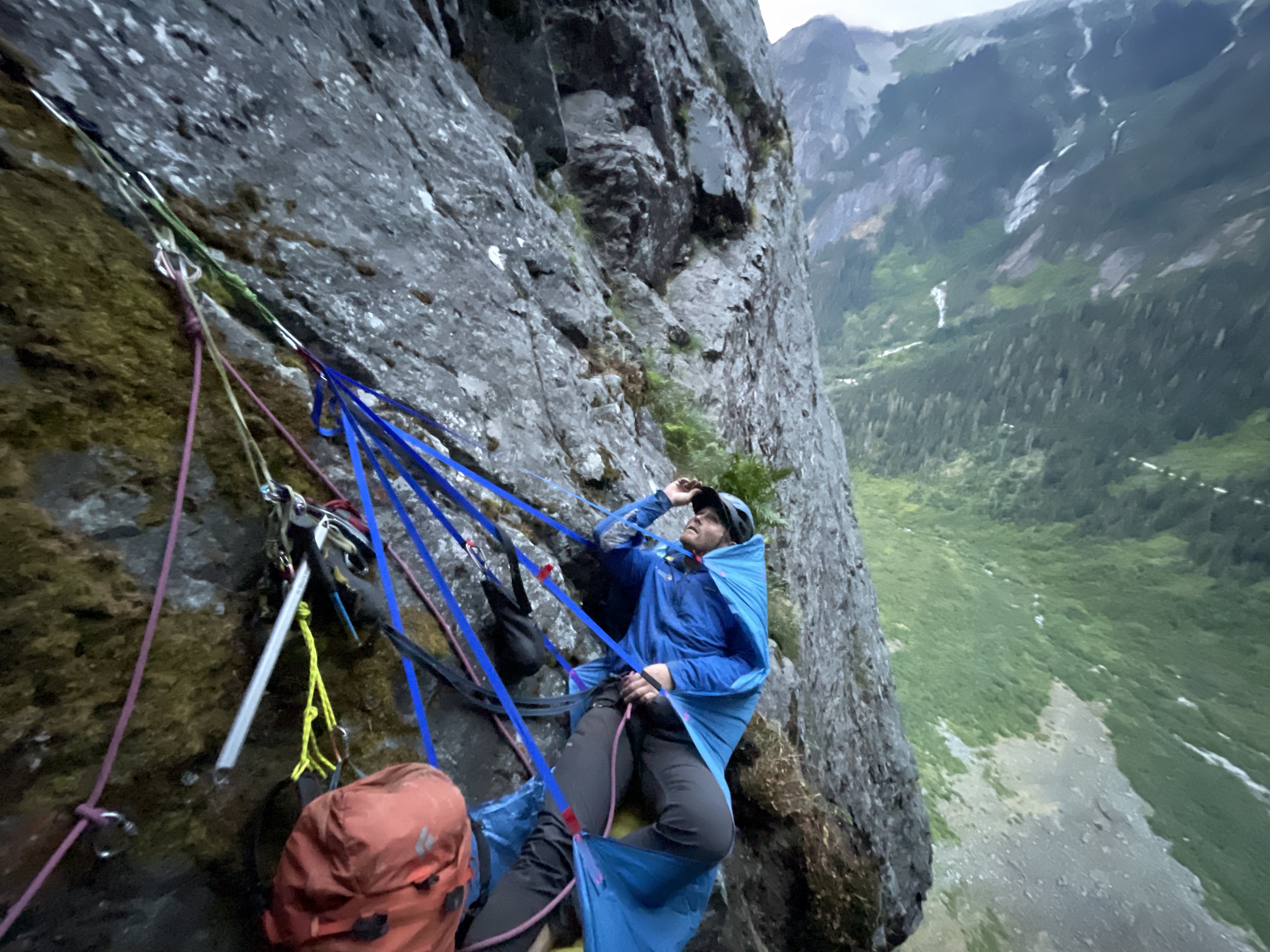
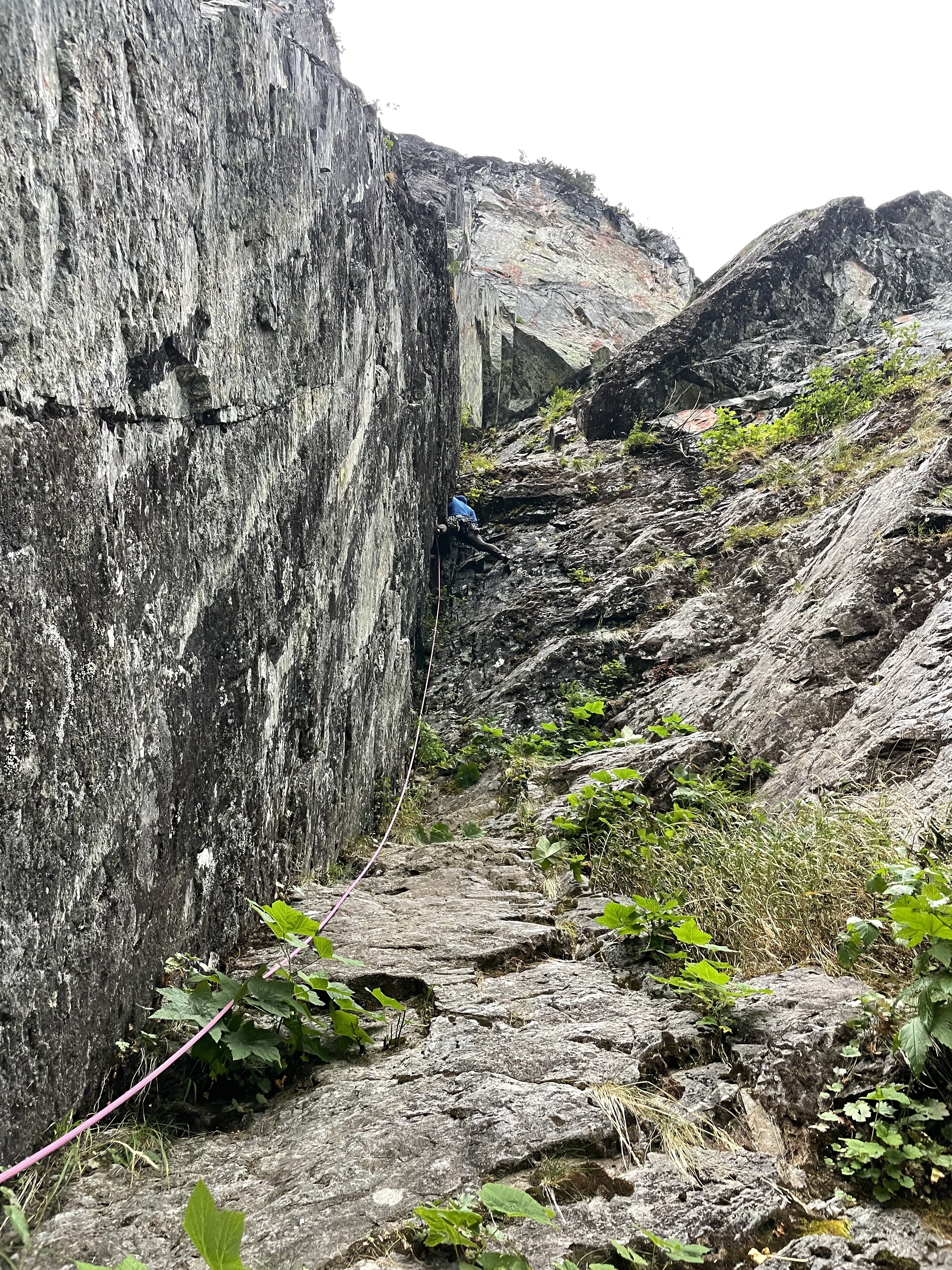
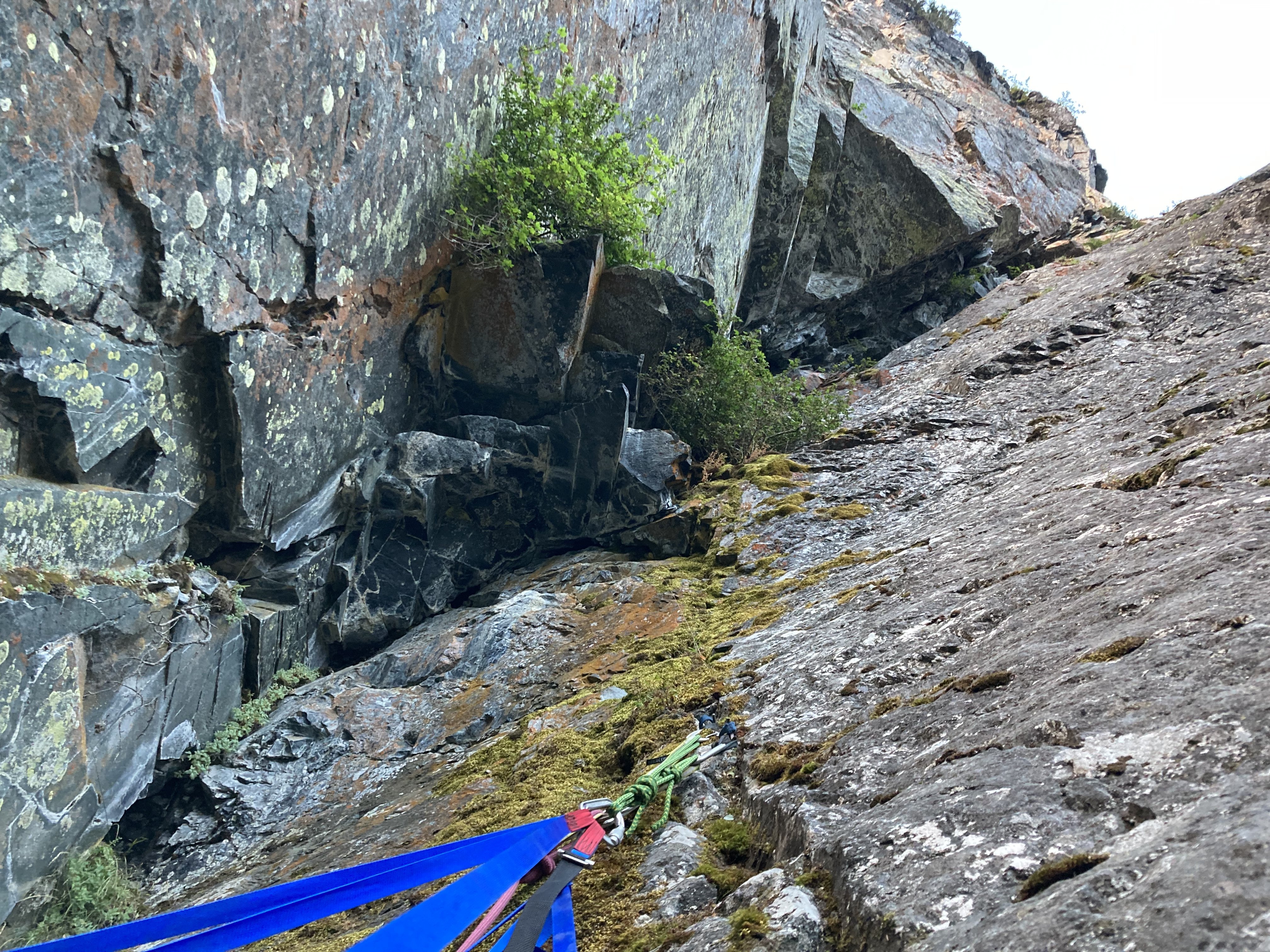
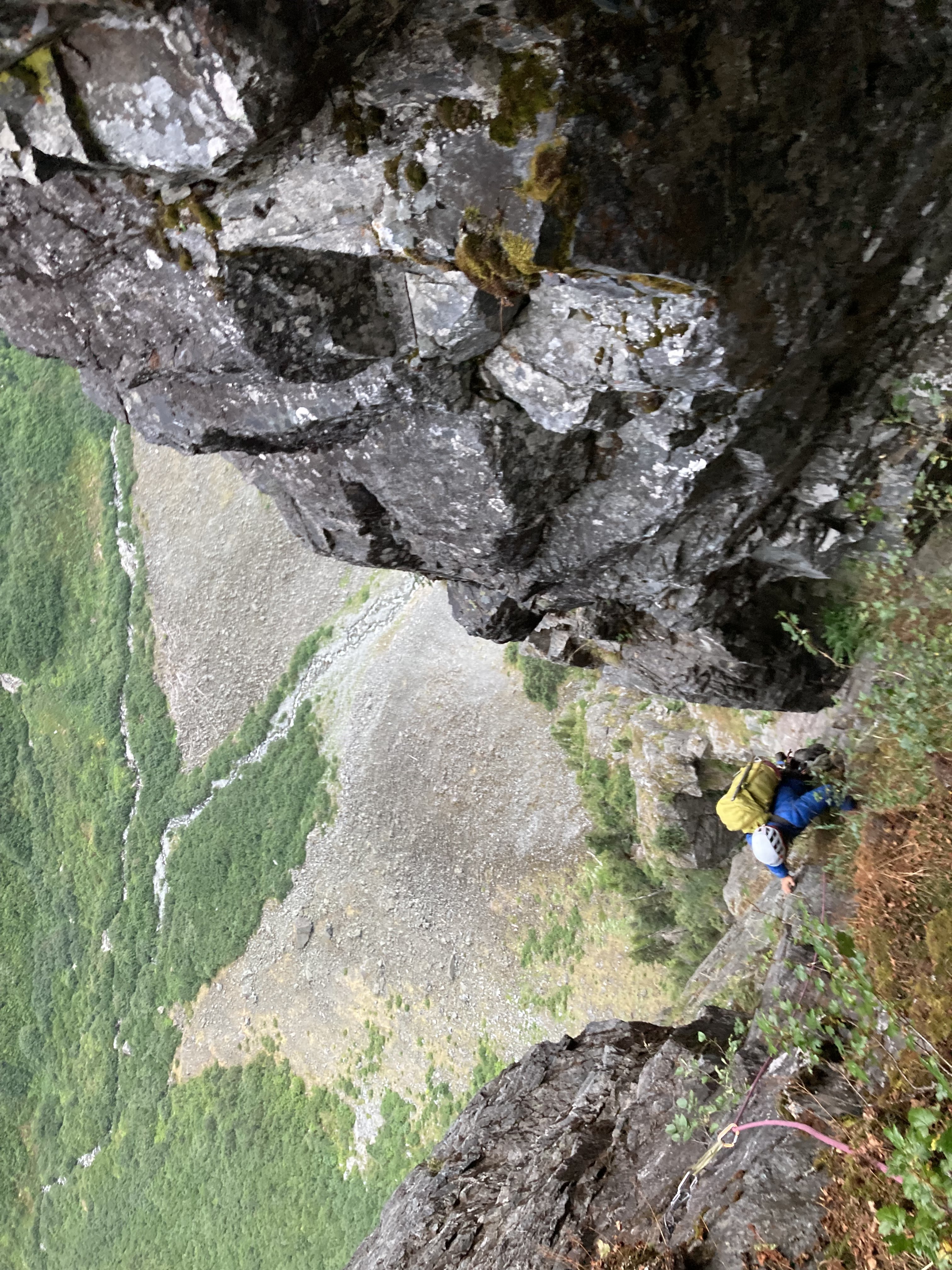
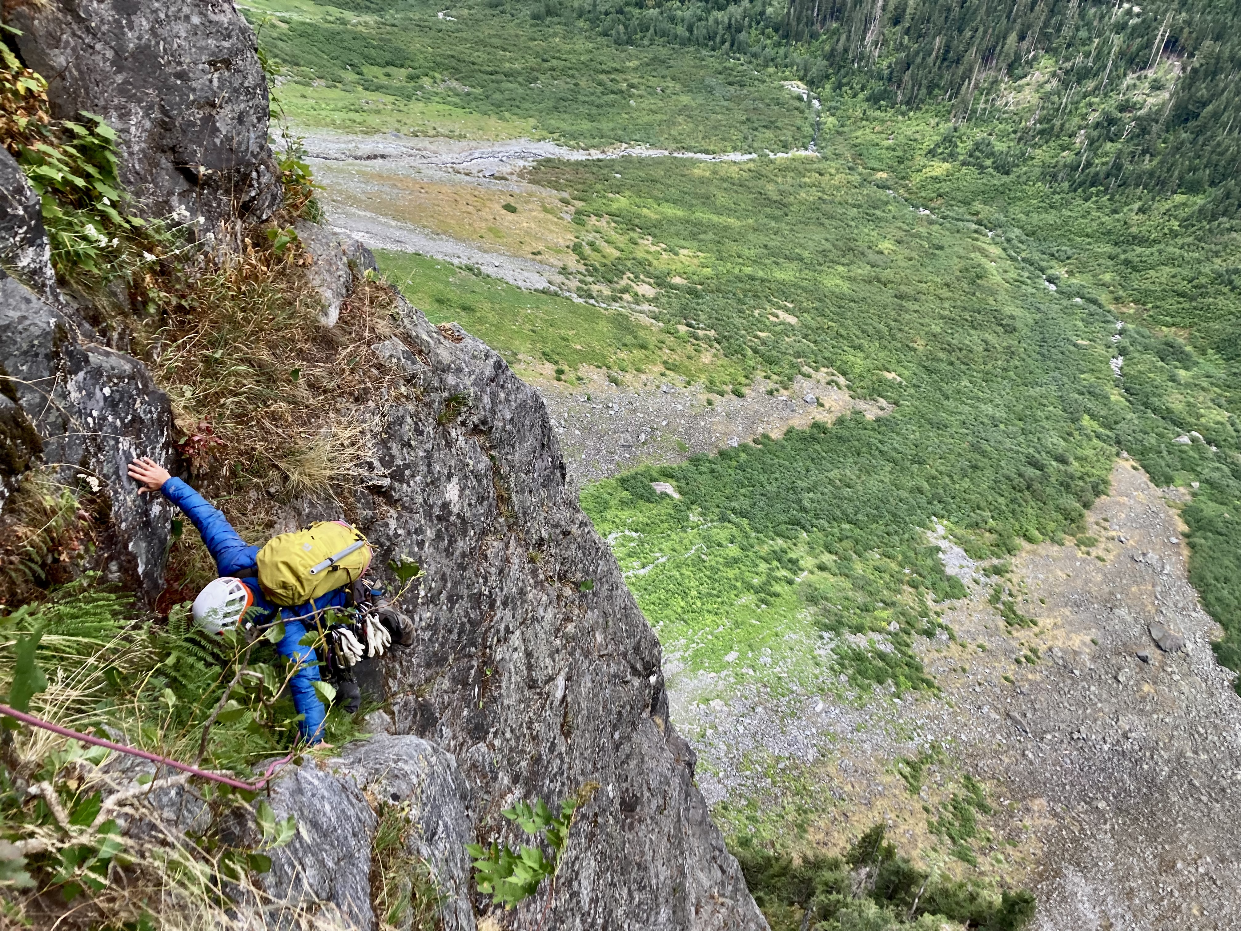
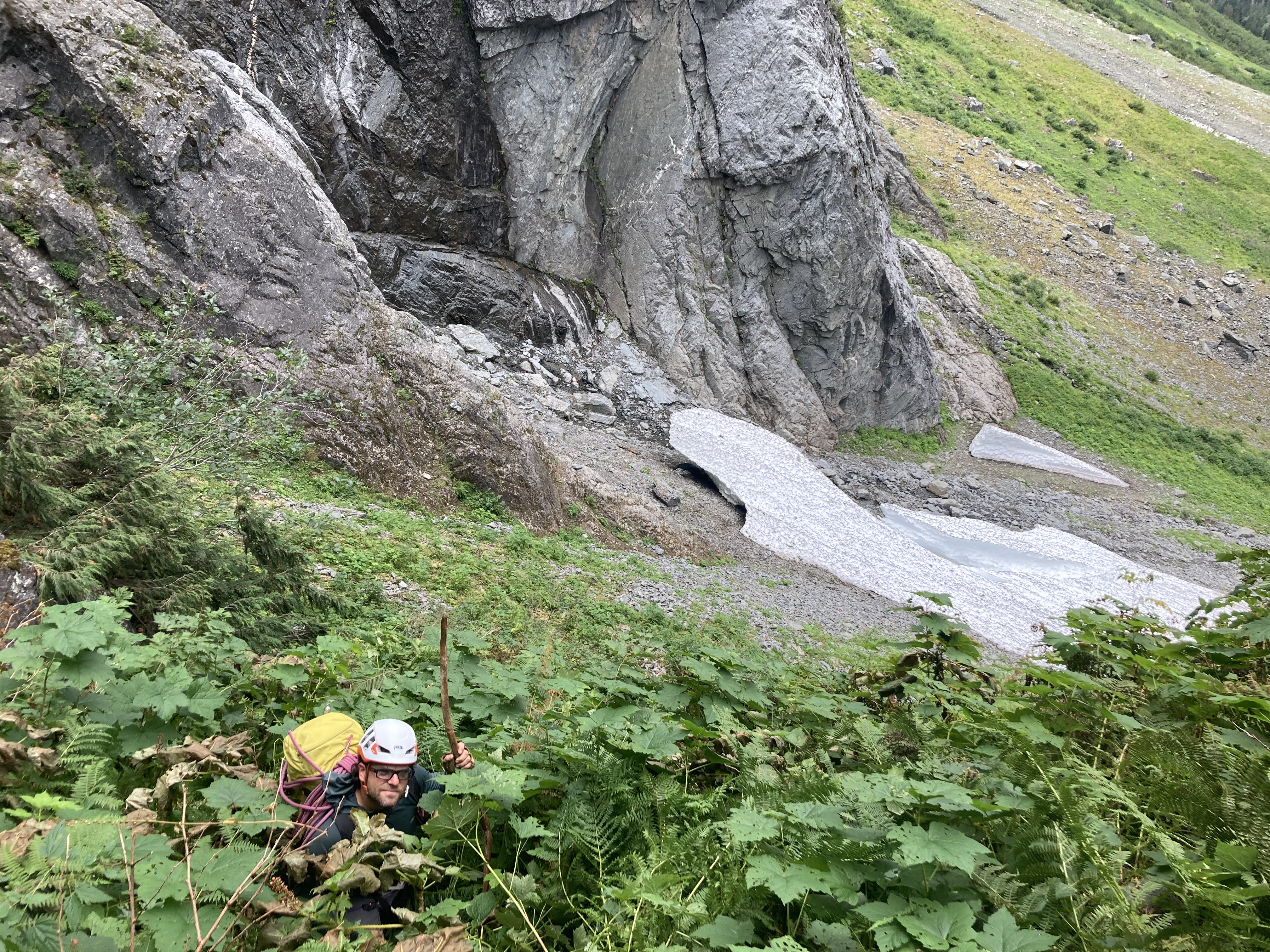
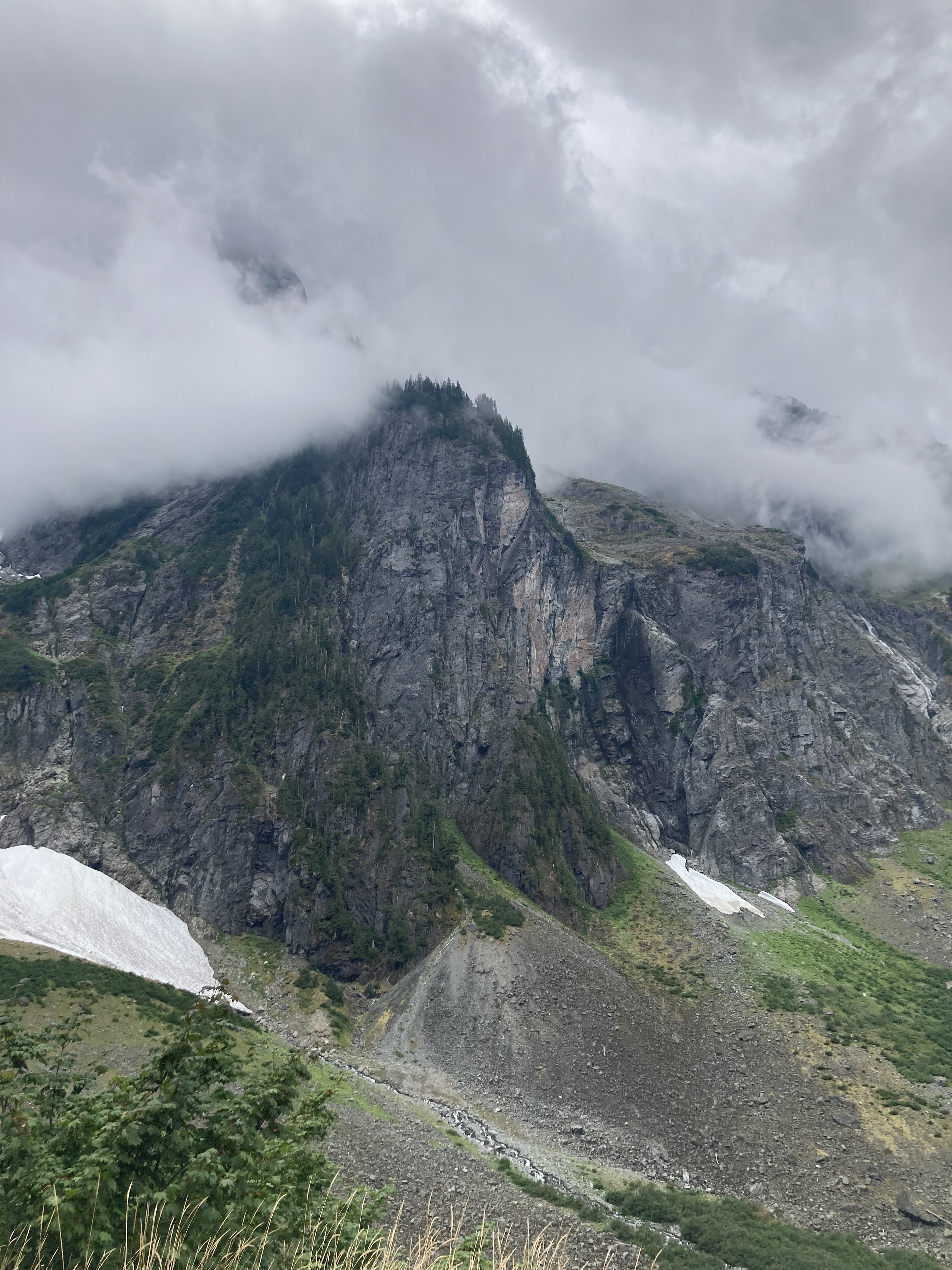
Trip: Johannesburg - “Flight of the Bumblebee” FA of the sit start to the NE Buttress of J Berg TD 5.9+R 1500’ Trip Date: 08/27/2022 Trip Report: This weekend, Kyle and I climbed the sit start to the NE buttress of J-Berg. We ended up rappelling due to injury after linking into the ‘57 route on the NE buttress. We added about 1500’ of steep and challenging climbing. The sit start climbs a tower with a bit of a distinct summit, so I don’t feel too bad claiming an FA. Becky likely wouldn’t have given us credit for anything, so judge it how you will. If linked to the summit, it would likely be one of the biggest monolithic climbs anywhere. TD+… ED…? Only one way to find out. This is likely a one and done for me, when we topped out the lower buttress I thought to myself “the climb we did so no one else had to”, but rapping where we did leaves the door open for at least one suitor to up the ante. The lower buttress in moody, morning fog We had a late start sat morning. The uncertain weather had us sleeping in and waiting. Lani and I had attempted the line a couple years ago and ultimately bailed because the climbing looked like it was going to be far more time consuming than our 2 day itinerary would have allowed. This time around, kyle and I packed a couple taco portaledges in case we had to bivy on the steeper lower wall. The approach involves a good bit of blueberry and devils club laybacking in high exposure. We came prepared this time and had leather garden gloves to grab the clubs… Kyle on the approach The approach is a bit of foreshadowing for what to expect on the rest of the buttress, but simply steeper… The first pitch was a long moss gully with difficulties that felt about like 5.7. For the second pitch, we discovered a sick splitter hand crack. Too short and too easy… Starting up the second pitch The third pitch was ledgy and mossy hand crack steps that fed into the main gully/corner that defines the route. This was the previous high point. starting up the third pitch The fourth pitch is what intimidated Lani and I off the route before. Steep, mossy overlapping roofs and steep corners loom above. This time around we were prepared to aid if needed and had a good bit of iron and a real hammer. We didn’t end up using the ladders and battled the moss with a nut tool and clawed our way up the slightly overhanging corner past a roof to a sloping ledge. We decided to start hauling the leaders pack at this point and ended up needing to tag the iron up for this belay. Kyle on the traverse above the P4 roof pitch 5 was more of the same, but with a chimney. Pulling through the chimney made me happy about the decision to haul packs. I ended up climbing a steep crack on the face to diverge from the main corner. To make faster upward progress, Kyle ended up climbing the thorn bush corner. He ended up unintentionally releasing about a ton of gravel when he stepped in the wrong spot. That reinforced the decision to take the spicy looking face. We ended up setting up a bivy at the top of this pitch. Glad to have the tacos as it was completely hanging. heading into the chimney on P5 kyle following the choss corner at the end of P5 chilling at the bivy in a super taco looking up at the upper corner from the bivy The next few pitches were actually pretty fun. Steep face and corner climbing on surprisingly solid rock. starting up P7. 5.7R up to the roof. kyle following the roof at the top of P7 The 8th pitch was the start to the sting in the tail. We climbed a runout face to the right of the corner. This took us up to the edge of the wall. The wall pinched off to a blunt, knife edge arete. A 5.8 downclimbing traverse into a rock scar was probably the most dangerous point on the climb. The last piece was maybe about 60 ft away and around the arete. A fall would likely chop the rope along the arete. Strong R. The rock scar was overhanging 5.9 stemming on less than ideal rock but with good gear. climbing up near the arete on pitch 8 kyle finishing up pitch 8 Once on the prow of the wall we had a few options. None of them looked good. The chimneys above looked truly awful, so we opted to traverse the arete to the right and found a mossy ramp that took us out onto the NW face. I belayed short for communication and to help make decisions. The next pitch was bleak, dead vertical terrain everywhere and so much munge. We ended up making a huge S shaped traversing pitch to work our way up moss covered 5.8 sketch blocks. We named this pitch “Phil’s Traverse” as we were intending on calling the route “the land of confusion”. The sting in the tail continues… kyle following the zag on Phil’s Traverse A long pitch of overhanging 5.7 tree climbing spat us out on a decent ledge where we transitioned out of rock shoes to prepare for the Forrest. I was nearing the end of the rope on a classic J-Berg tree pitch and grabbed a tuft of moss, as you do. This particular tuft was a bees nest. I felt stinging and saw a few on my right hand and about 100 bees shot out of the hole, dead set on face fucking me off the mountain. I let go in a knee jerk reaction and went for a slow motion, sports action highlight style whipper. I kind of wish I had a video camera on as it had to have been funny to watch. I ended up grabbing, and swinging off a tree on the way down, making a single rotation tomahawk and falling onto my feet as the rope caught me. Glad I took a lead belay. I ended up rolling my ankle and was otherwise unscathed. I belayed Kyle up and we weighed our options. We decided to find a place to bivy and wait until the morning to make any decisions. We ended up climbing up another 300’ of forest munge to the top of a heather slope. The top of the slope was a comfy knoll that marked the summit of the lower tower, and an awesome bivy! This was our summit and the first point where it was obvious we had linked into the ‘57 line. kyle rapping a steep section of the wall Waking up, my outlook was pretty grim. I could barely hobble around, so we decided to descend our route. I couldn’t really put weight on my ankle so I ended up glissading the last 100’ of 35 degree heather. Once back at the tree line we began rapping. We ended up rappelling about 1800’. Primarily rapping on trees and using an escaper we were able to get away with only leaving a couple gear anchors along the way. Traversing the talus back to the car was kind of miserable, but manageable. My ankle is starting to feel better already, crossing my fingers for a minor sprain. For the aspiring munge warrior, here’s pitch notes P1 5.7 180’ head up moss gully on the left to a big ledge with trees. P2 5.7+ 180’ traverse to left edge of ledge. Head up good hand crack. Traverse slab to the right and climb a nice finger crack up to a large ledge on the ridge crest. P3 5.8 150’ head up into the large mossy corner. Climb up to a distinct roof with hands to fists gear for anchor. P4 5.9 100’ continue up the corner. Mossy crack climbing leads to a rightward roof traverse. Pull past the roof onto the large sloping ledge. Two beaks in place for anchor P5 5.9 100’ continue up main corner on clean slab. Past a short chimney and a crack on the right face (5.9+). Belay at uncomfortable stance below a striped roof in a good crack in the main corner. P6 5.9+ 85’ continue up main corner past a small roof (crux) to an alcove at the base of the massive looming roof above. #4 critical for belay. P7 5.9+ 70’ climb the face to the right of the corner (5.7R). Up past an off width section to a section of steep crack/stemming on good rock. Belay in a cave. P8 5.9+ 160’ traverse out of the cave. Climb the face on the right up to a knife edge arete (5.8R). Traverse the slab rightward into a steep rock star (5.9+ spicy). Continue up past low angle broken terrain. Belay by a bush on a small ledge. P9 5.7 60’ head up and around the arete to the right. Traverse over on mossy ledges and build an anchor P10 5.8R 100’ “Phil’s traverse” traverse right. Up mossy blocks to trees. Traverse back left to a big tree for a belay. Heinous drag. P11 5.7 150’ climb the belay tree. Then continue up until rope drag stops you. P12 5.6 200’ trees up to the ridge crest to join ne butt route. Gear Notes: Double Rack .2 - 1 Singles 2 - 4 no nuts placed. Pins in place. Approach Notes: Park at cascade pass. Traverse talus to the base of the “munge cone”. Traverse to the right up steep ferns. Gain a steep ramp that cuts up and left on 4th class devils clubs. Mandatory devils club laybacking. We brought leather gloves for this. Traverse the ledge to an exposed perch by a steep gully.1 point
-
The mega slab!!! So rad @JonParker, that's a crazy amount of ground to cover in a couple days! Glad that you linked it all safely and posted up this TR for us to marvel at. Some really great images in there.... I don't think I ever would have thought to run up a creek directly (SC) on a mountain trip. Oh, and there is an old trail coming down Shovel Creek from the lake, but it is hard to find at the top. It becomes better the further down you go, but it strays pretty far from the creek.1 point
-
Woah, what a way to start the morning! Great photos, as usual. Love a good ridge run and some easy rock, will have to add this to my list1 point
-
Thanks for the TR, bringing back memories of one of my earliest Cascades adventures. Between the high start and the Sibley Ridge heather knife-edge, The Triad has a very high reward-to-effort ratio, even if you skip the Lesser Dicks.1 point
-
Thanks for the stunning pics to remind me of one of the most beautiful places I have been in the Cascades (or anywhere else). Got to get back there. I don't live by the rule "If you wouldn't kill it, you shouldn't eat it." but I do find the notion of killing a warm-blooded beast in that environment disturbing.1 point
-
Great trip report and pictures. There is still solitude to be had out in the North Cascades for sure. If you think outside the box and do some lesser known approaches and peaks, the majority of your company will be mosquitoes and biting flies. Black Bear season is in full swing right now, bright clothing and a flute would be a good idea. How many people, outside of Russians, have ever seen a bear playing a flute?1 point


