Leaderboard
Popular Content
Showing content with the highest reputation on 08/01/22 in all areas
-
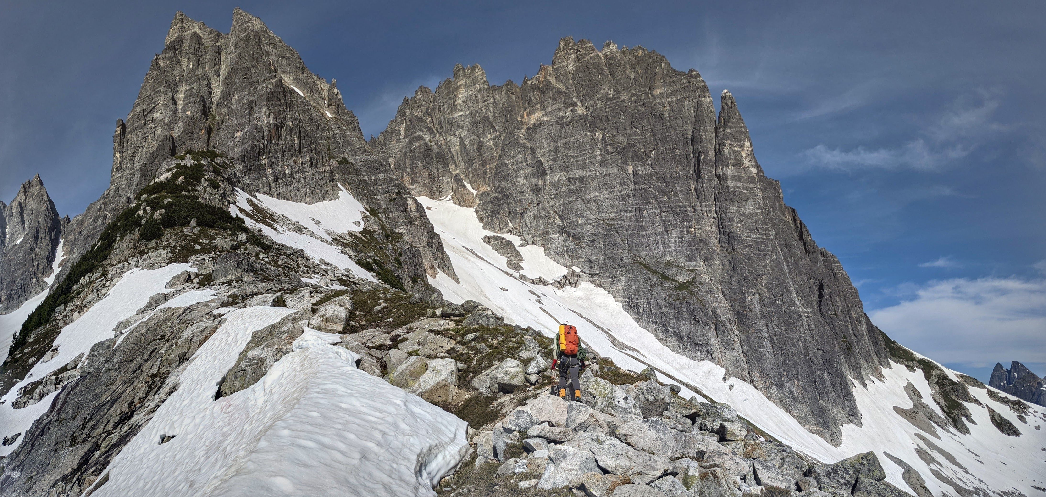
Trip: Dome and the Lizard - Ptarmigan (Ptarmithumb) Traverse Trip Date: 07/22/2022 Trip Report: Ah, the classic Ptarmigan....is there a finer high traverse in the Cascades? After 25ish year of rambling around the range I'm not sure there is a more scenic and pleasant high route. And so, after a 19 year hiatus it was time to return with none other than @Juan Sharp. My thumb was still broken with a pin, but no matter, we would take it easy over 6 days and savor the experience. There is probably too much already written about this particular trip, but I will say that it is worth repeat visits, if only to camp in the places you wished you had camped the first time! And, amazingly enough, the traverse was much quieter than I had it in 2003. Probably "closures" on both ends had something to do with that (check notes below for additional beta). High points, for us, included perfect weather, good snow conditions, few bugs, an evening visit from a couple curious goats, ethereal marine layer mists from White Rock Lakes, Northern lights from the Dome/Dana Glacier col, solos of Dome and the Lizard (for me), sunrise/sunset on Dakobed, and a surprise visit from @jenny.abegg and partner who were mountain running from Canada to Stehekin, along the crest, in ONE WEEK. They covered in A DAY, what took us 4 days! To say we were amazed would be an understatement. I can't wait to see the movie made by the film crew running along with them for a couple sections. Low points would be the brush of Bachelor and Downey Creeks, but there is always a price of admission to the glory of the North Cascades parklands. I'll be back, but I won't wait as long next time! Heading up the closed cascade river road: @Juan Sharp below Mixup on the way to Cache col: Formidable: Camp 1 with a good view of the NF of Spider: Traversing over to Middle Cascade Gl: Passing thru Spider/Formidable col, Old Guard and LeConte in the middle: Climbing up above Yang Yang Lakes: Camp 2: Formidable at sunrise: Heading out on Day 3: Traversing to LeConte Gl.: South Cascade Gl.: The majestic north side of Sinister/Dome and the Chickamin Gl.: Camp 3 at White Rock Lakes: NF of Sinister and the Chickamin: Elephant Head and Dome from WRL: The aptly named Elephant Head: Agnes! Snout of the Dana: The German Helmet lost in the mists to the right of @Juan Sharp: Summit ridge of Dome: Hydramatic Spire: Camp 4, North Cascades style: @jenny.abegg and crew heading towards the Chickamin one evening: Dakobed from Camp 4: Surprise aurora borealis one night....it didn't look like this to the naked eye, 25 sec. exposure. Heading toward Itswoot ridge on day 5: Dome and @Juan Sharp: Sussing out the way to Cub lake from Itswoot ridge: False hellebore: Getting to the fun part in Bachelor Creek: @Juan Sharp crossing Bachelor Creek after doing battle with the worst of it. Note the bloody shins: The Bachelor Creek trail has sustained significant damage from slides this past winter: Camp 5, on the banks of Downey Creek: We're not in Colorado any more! Thru the burn at the end of the Downey Creek trail: Gear Notes: 30m rope, glacier gear, helmet, ice axe, crampons Approach Notes: Cascade River Road closed at Eldorado. Bachelor/Downey creek trails officially "closed" but in decent shape, esp. thru the burn. Bachelor Creek trail in good shape above 4500'. Cross Bachelor Creek at the alternate 4500' crossing. Flagged from there down to old log across Bachelor Creek at 4100'. Lots of blowdown in Lower Bachelor Creek and upper Downey Creek trails. Much bear sign.6 points
-
Todd Bibler might call it an "Impotent."3 points
-
The cool kids leave the tent poles at home. Or, maybe somewhere along the route, as the case may be.2 points
-
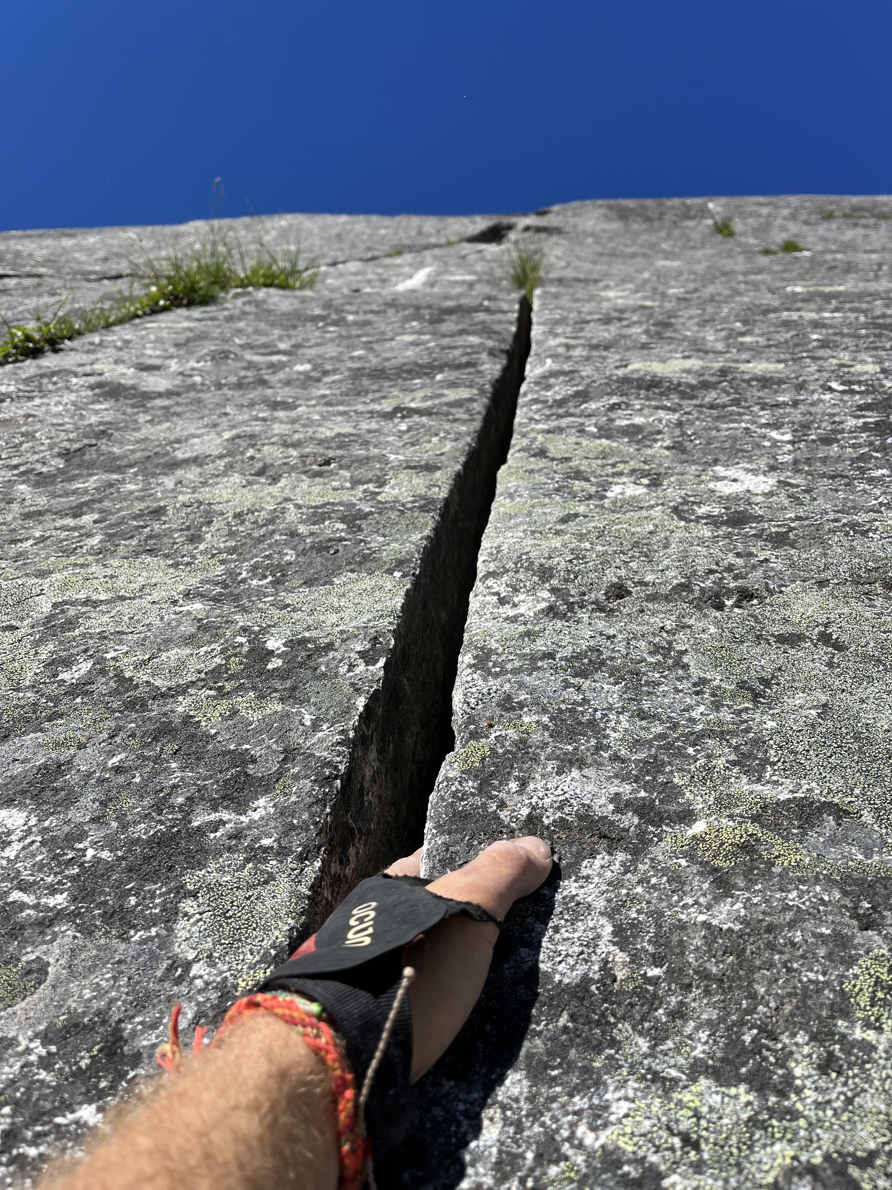
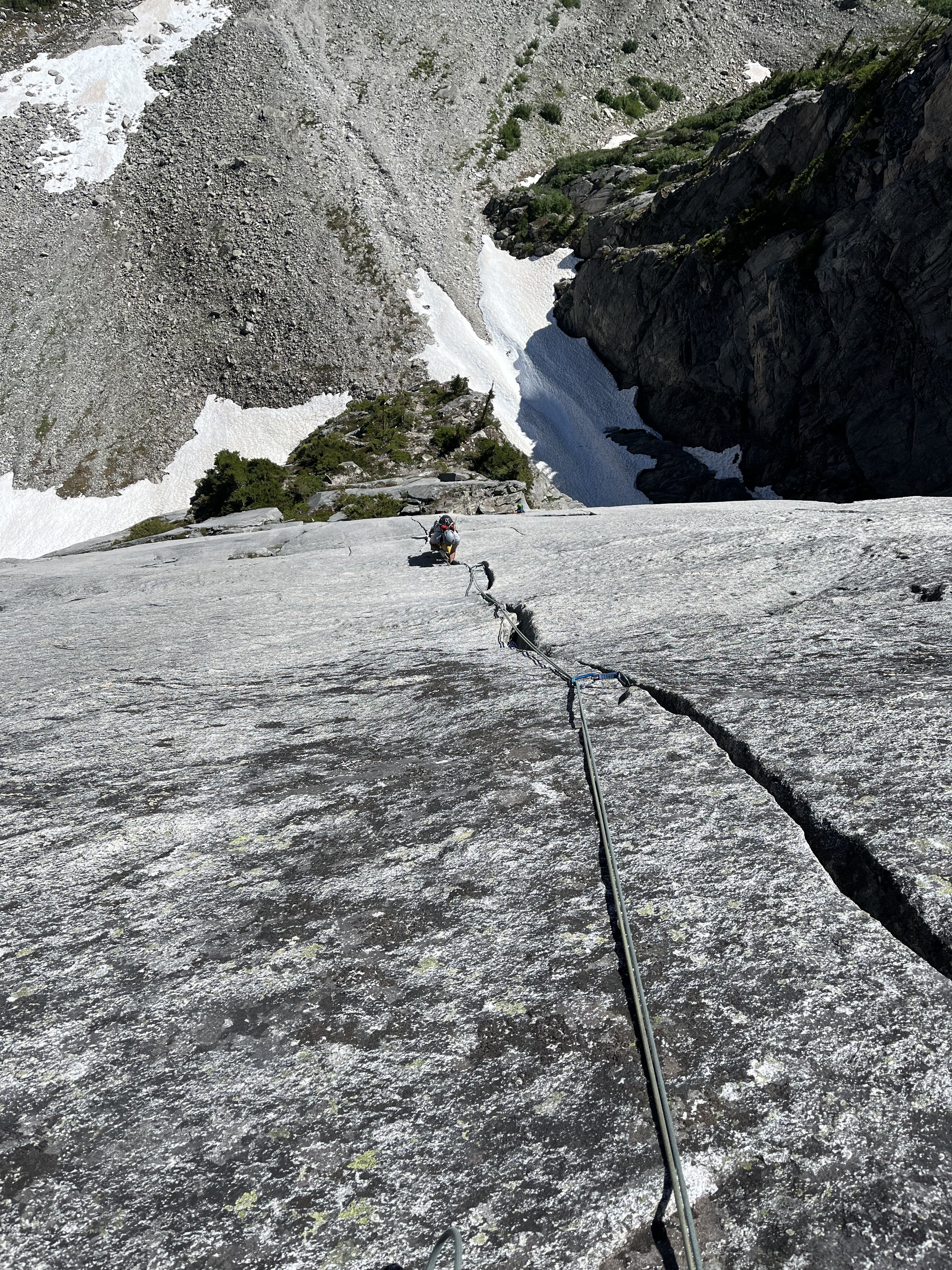
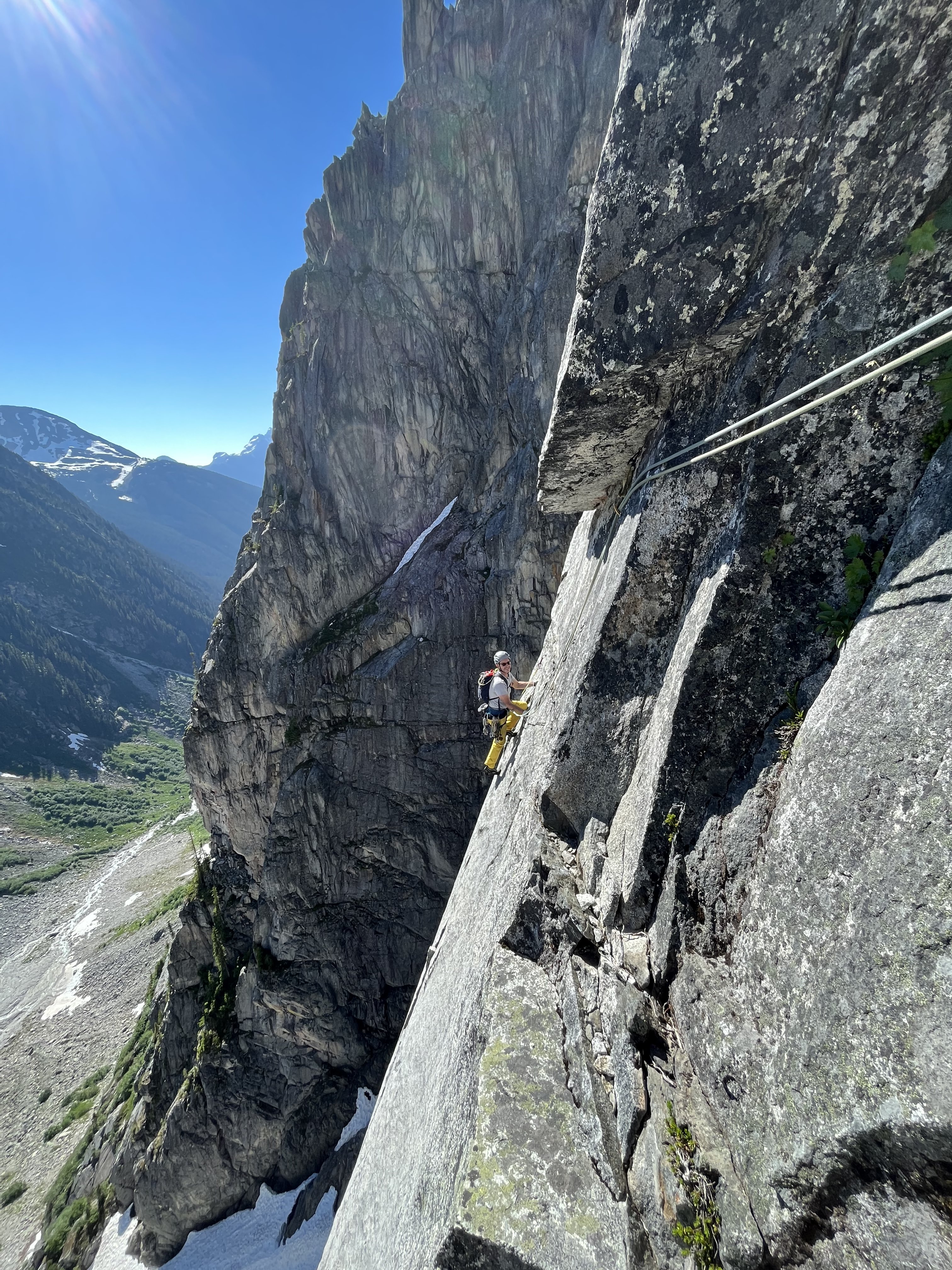
Trip: Joffre Creek - Mighty Mouse Trip Date: 07/25/2022 Trip Report: A brief TR for old times sake. Mighty Mouse fully lives up to the hype. The loveliest splitters you’ll ever climb, in a scenic alpine setting with a straightforward approach. the logging road, while getting a bit grown in, is in great shape and mercifully short. The approach trail, though frequently obscured by lush undergrowth, is a wonder. Could use some brushing and flagging but in amazing good shape. Approximately 2 hrs car to base at middle aged pace. the climb is stout. The first pitch is in your face and felt as challenging as the remainder of the climb. 10d/11a pitches all had short, hard cruxes with amazing crack climbing throughout. Excellent ledges for almost every belay with bolted rap anchors. The hand crack eats #2/#3 Camalots. Never climbed a better granite splitter. bring very small rps. We bailed off pitch 8 when partner took a fall and ripped gear. 11 hrs car-to-car. Something to go back for. was 98 degrees in Pemberton and tolerable on the climb in the sun thanks to a breeze. Shade after ~ 2 pm. Gear Notes: Very Small nuts and micro cams. Double rack with at least 3 #3s. Approach Notes: See Mtn project. Would be hard to follow in dark and you’ll get soaked in the am if temps hit the dew point.1 point
-
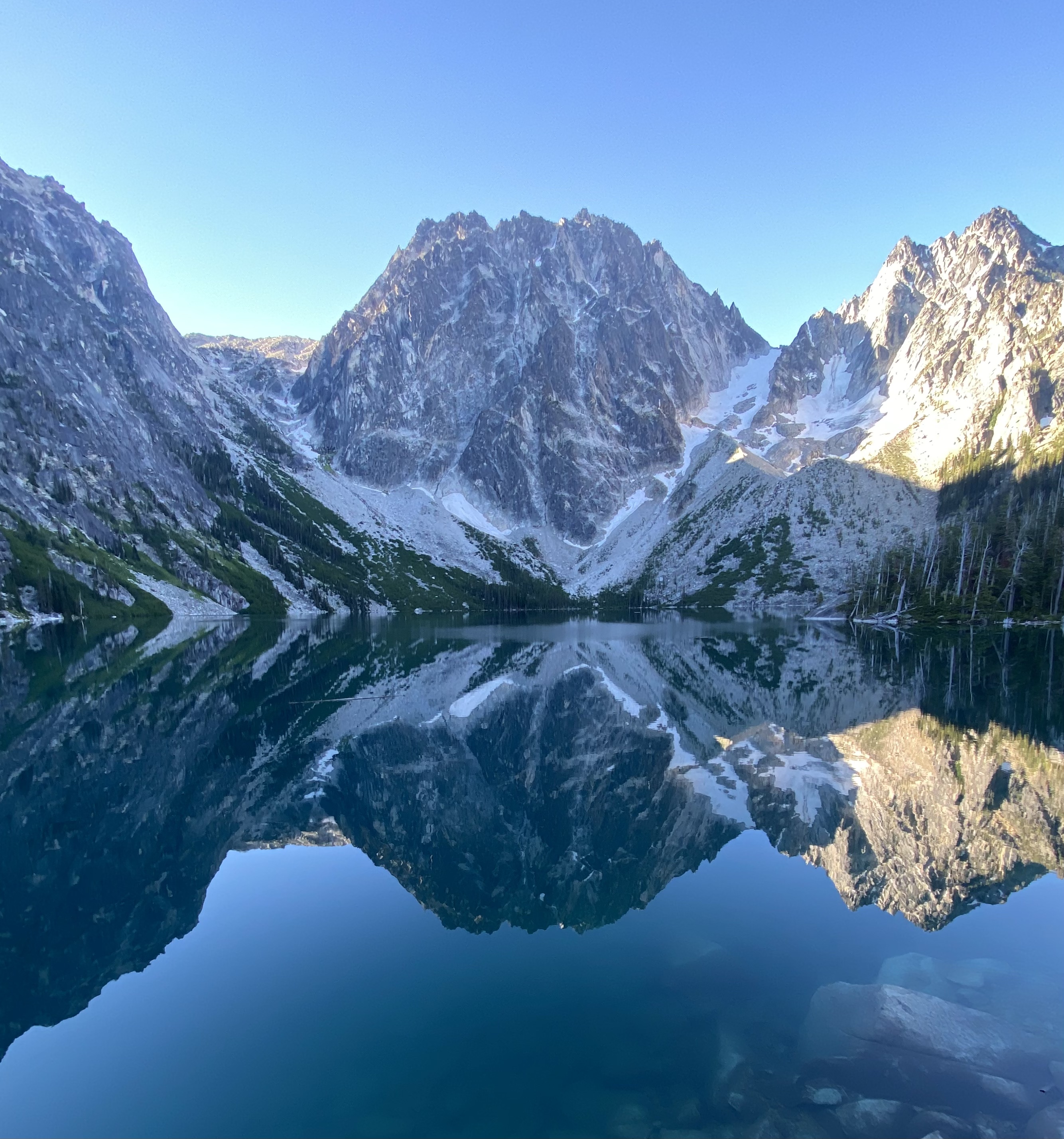
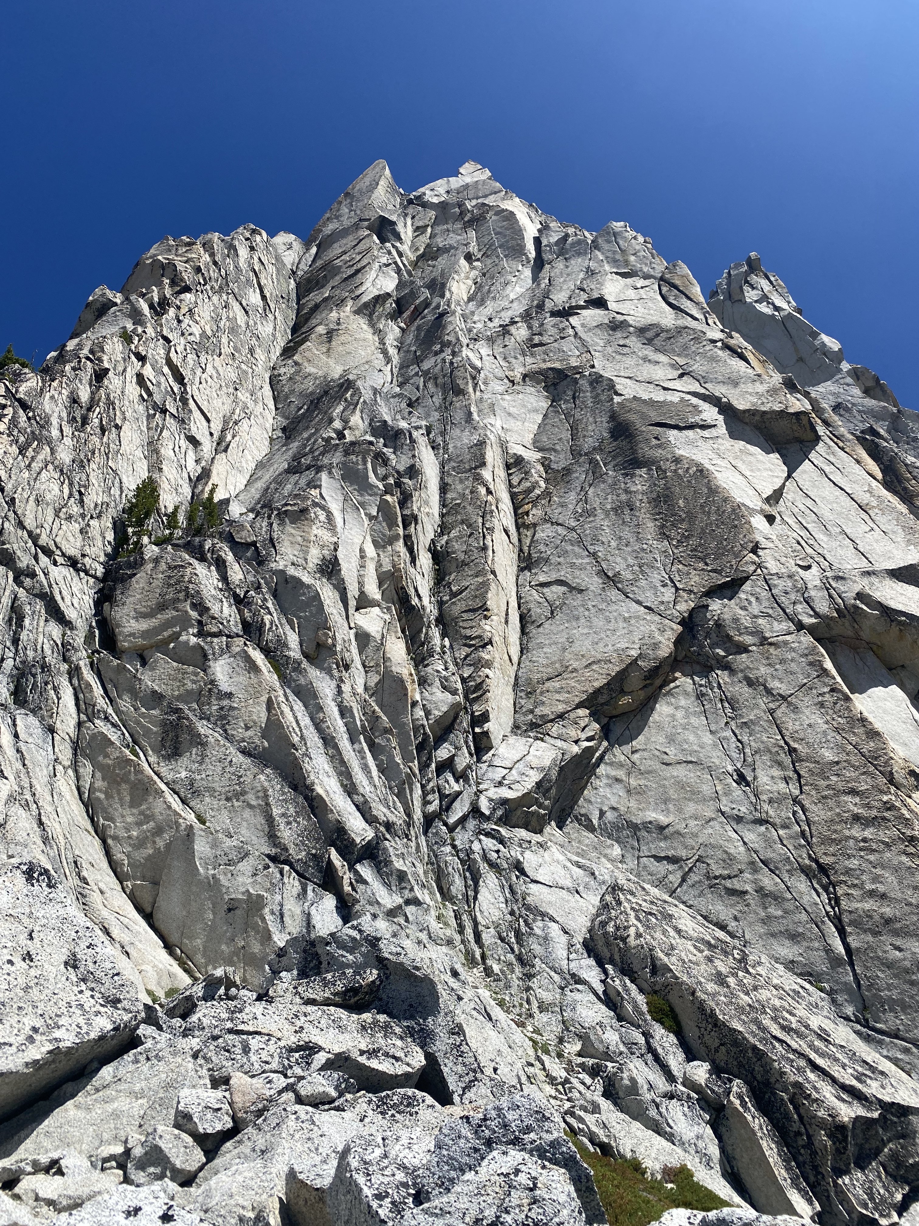
Trip: Prusik - West ridge Trip Date: 07/27/2022 Trip Report: This started out as a pretty rough night of sleep at the Stuart lake trailhead. I woke up sweating and a bit unhappy; even considering not getting out of the car to go on this adventure I had planned for myself. I have this experience a lot; I get excited and drive long distances or hike in large approaches just for my mind to try and convince me that I don't want to be there or that it doesn't sound fun. I find that 100% of the time if I fight those feelings and push through I have the time of my life. This was very true for today. I got my shit together and left the trailhead. Made it up to Colchuck and over Asgard in what felt like no time. I hear a lot of people complain about the hike up to Colchuck lake. Yes, it's busy but isn't everywhere else we go in most of our daily lives? At least most of these people that we encounter on the way up are happy, movin, and enjoying what we all come out to enjoy. Anyways... Making up and over Asgard before the day got too hot was the way to do it! down at the icicle, it was going to be 100 something and I didn't want any of that on the way in. IMG_1349.HEIC Dragontail looked extra special that day. The usual interactions with the furry locals up on the plateau ensued (cautions walking around trying not to get headbutted). It was getting hot at this point. The heat was not the biggest issue I found. That would be the mosquitos. They kept you moving!!! If you stop at all a million would swarm and start chewing. I definitely moved faster than I was in shape to do only because I had no other choice. The plan for today was to romp up the west ridge of Prusik. The pictures I had seen of prusik were mesmerizing, to say the least. The biggest thing I noticed was how different this mountain looks from every angle. From the first sight of it after Asgard, it looks like a tiny point along a much larger ridge. Every time you get a bit closer it seems to grow up out of the ridge it's a part of. IMG_1384.HEIC Up close and personal with the south face. after making some questionable route-finding decisions I made it to the base of the west ridge; Just below the obvious heavily cleaned crack above the notch. Rock shoes and the fanny pack went on and up I went. This route is something else. You find yourself wandering up some low filth CLEAN rock with some intermixed interesting moves until you pop up to a flatter section of the ridge. This was one of the highlights for me. A combination of butt scooting and finger rail scootching with the exposure of the south face below you is something else. Enjoy the exposure, pull a slab move, climb some crack, squeeze a chimney, then enjoy the views. IMG_1370.HEIC IMG_1376.HEIC IMG_1379.HEIC The raps were straightforward, I believe with a bit of down climbing I did four rappels. After a little bit of walking back to the notch, I was able to collect my stuff and get eaten a bit more by the buzzers. The rest of the trip was very uneventful. A quick dip in a few of the lakes on the way down kept the temps down and kept me happy. I can't recommend this route more to anyone. It has clean rock, great views, and interesting movement. Maybe just wait until it isn't 1000 degrees. Gear Notes: Good attitude Approach Notes: Walkin1 point
-
Im going to start a petition to get Jason to publish a coffee table book.1 point
-
Damn! Others have been saying it but I gotta join the choir: really incredible pictures! Thanks for sharing them!!1 point
-
Inspiring pictures as usual @JasonG ! What a fine time. Thank you.1 point
-
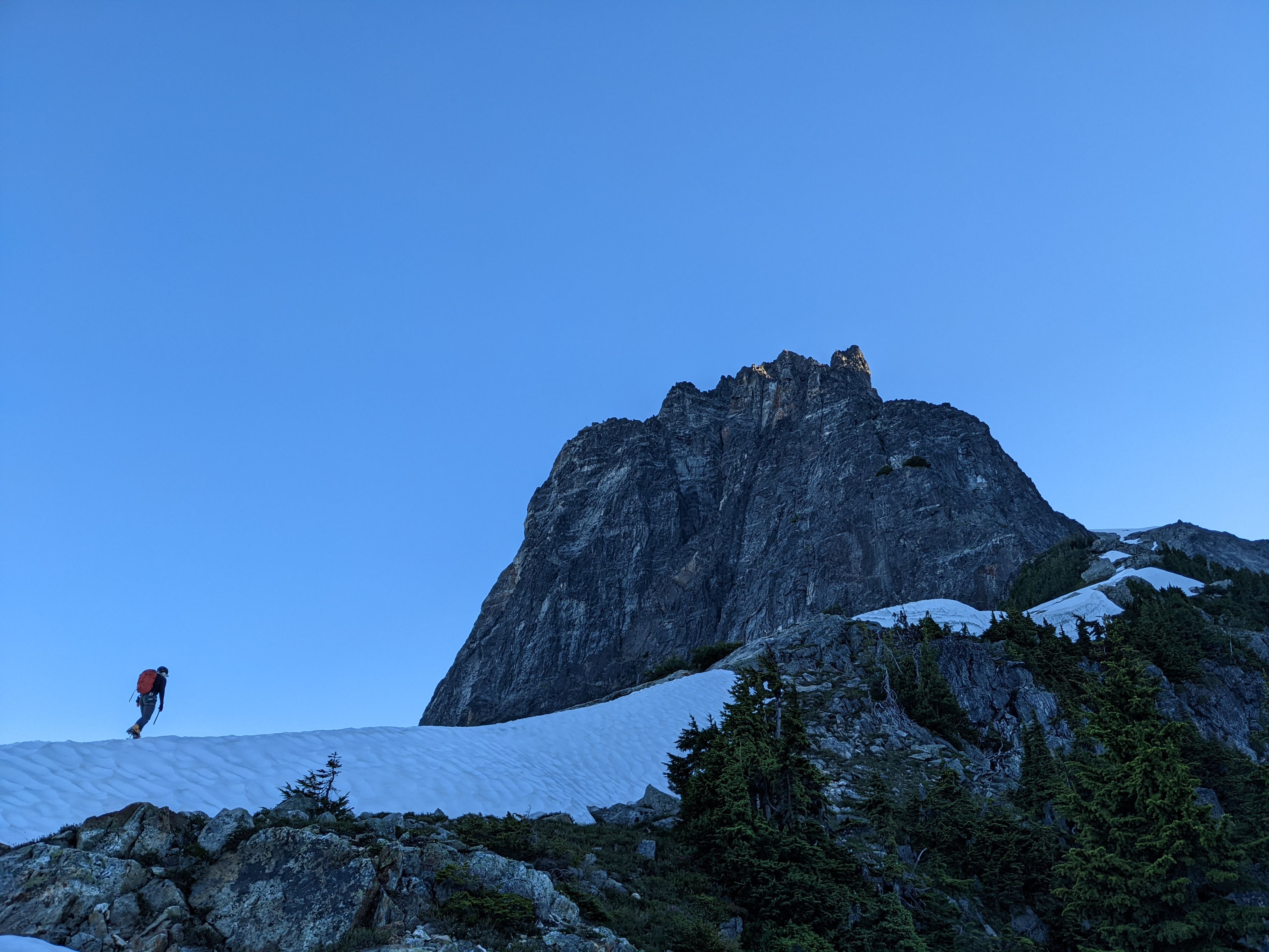
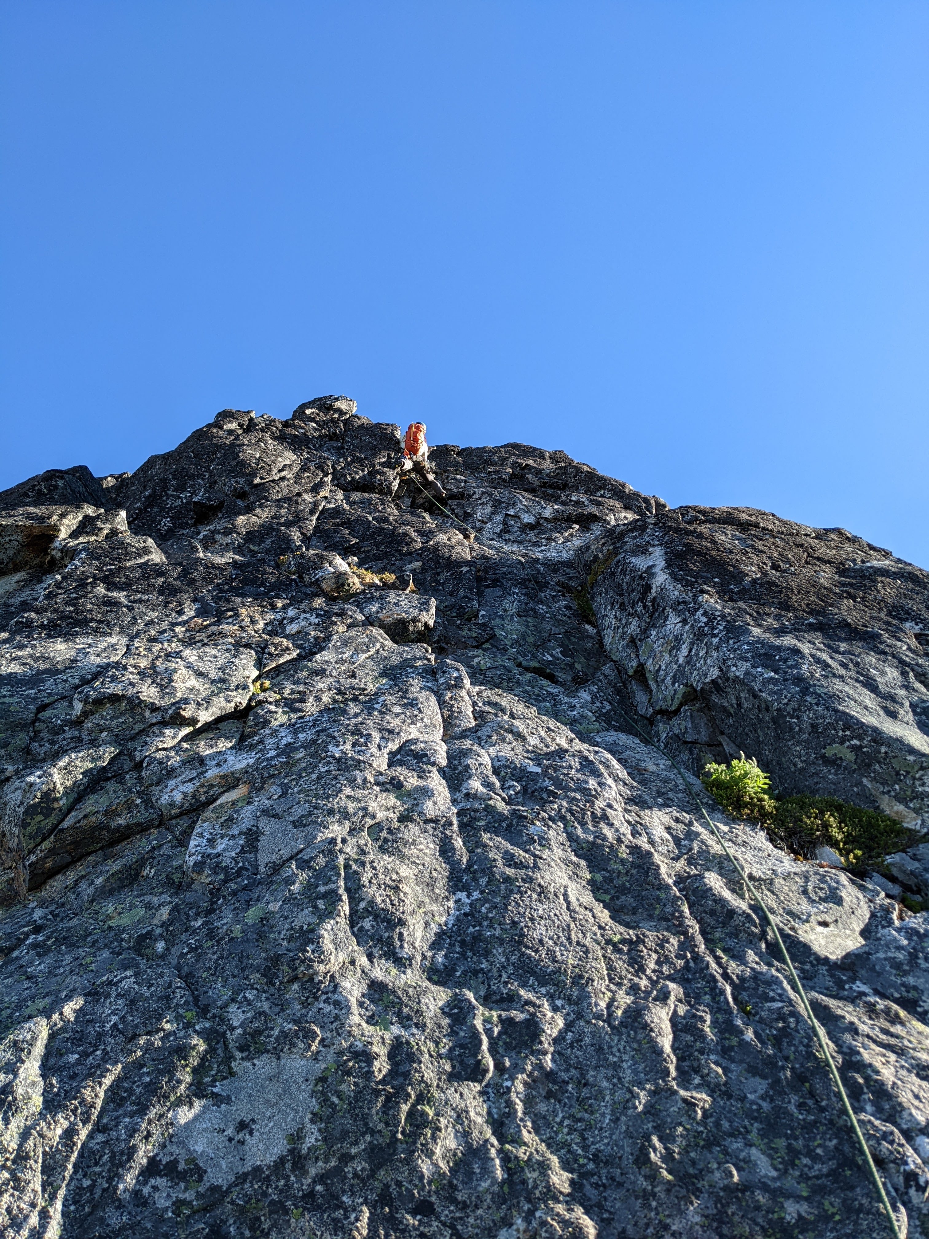
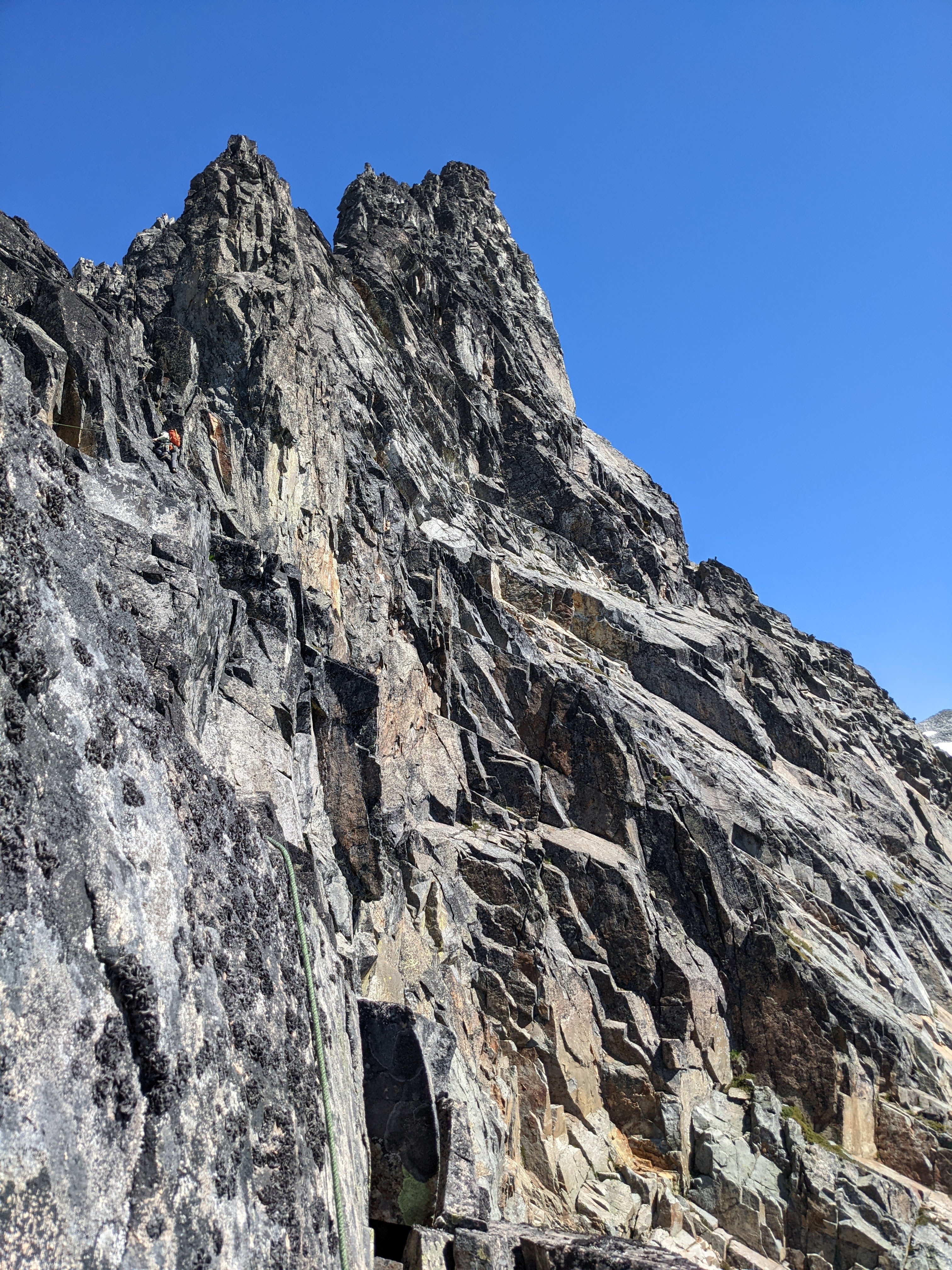
Trip: Spectre Peak - “Spirited Away” FA of the S Ridge of Spectre Peak 2000’ 5.8 Trip Date: 07/26/2022 Trip Report: Joe Manning and I just got out of the Northern Pickets. We did the first ascent of the South Ridge of Spectre Peak. We had excellent weather and were out for 4 days. I’m having trouble loading any photos from my phone on here so this will be super brief. For extensive photos and whatnot check out my trip report on our blog… https://www.theclimbingguides.com/post/spirited-away-first-ascent-of-the-south-ridge-of-spectre-peak-2000-5-8 Gear Notes: Singles .1-2 doubles .3-1 light rack of nuts and optional 3. 40-50ft of cord and a single 60M rope. Approach Notes: Easy peak to improbable impasse to perfect pass to challenger col to phantom to pickle pass.1 point
-
1 point
-
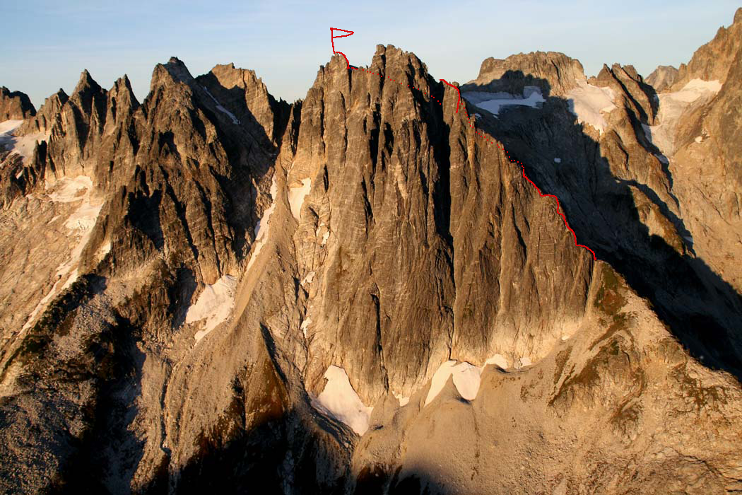
Awesome climbing again with you Sam after so many years, this climb went about as smoothly as I could have hoped! Great trip report on your blog, I recommend giving it a read. A few thoughts about the climb: Pleasant (and warm) temps made for light bivy gear and few layers needed Snow travel conditions and coverage were outstanding, mostly boot-sole to shoelace deep made for easy kicksteps and cramponing pretty much the whole time, never too firm or post-holely, with rubble, heather, and crevasses well covered We brought food for only 4 days/4 nights, and with meltwater never really carried more than ½ a liter of water at any given time (except on route) Certain sections of choss on the ridge required delicate climbing, alternating with heavy-handedness; we trundled a ton of stone, especially on the ridge crest Sam is an exceptionally strong and efficient partner who set much of the boot pack, led most of the pitches, and graciously humored me with belaying the Impasse both ways. We packed a lot into 4 days, with back-to-back 15-16 hour days including the full day climb and descent, followed by a marathon exit hike the final day all the way from the 7k ft moraine bivy south of Challenger to the car, leaving a little before 10am and making the trailhead around 2am. It was so hot the afternoon of our hike out, despite drinking 7-8+ liters of water and eating lots of salty snacks, by 10pm, what little urine I could pee was the color of motor oil. It was a little unsettling, to say the least. Fortunately, a couple days later and I’m no worse for the wear Here is a John Scurlock photo (used with permission) of the line, dotted sections were below the crest on the east. We did two rappels on route to get off or around gendarmes.1 point
-
Trip: KATSUK PEAK (8425') - South Ridge Route Trip Date: 07/23/2022 Trip Report: KATSUK PEAK (8425') – South Ridge Route - Easy Pass Trail Approach – - JULY 23-24, 2022 (Sat, Sun) I didn’t have a lot of time this weekend so I needed a day and a half climb. Katsuk Peak sounded perfect. Saturday: I made it to the trailhead around 3pm and was starting up the trail to Easy Pass at 4pm. There were some rain clouds threatening so I was hoping to stay ahead. I made it to Easy Pass at 6:15pm. I was in this area for Graybeard Peak last month and the snow conditions have changed a lot since then. The trail is mostly clear with a few patches of snow here and there. I made my way down past Fisher Camp to my turn up the slope toward Katsuk at 5000’ at 7:30pm. I was planning to hit the bluff camp by sunset. I reached the bluff camp (6600’) at 9:30pm, still light enough to see without a headlight. The bluff camp is one of my favorites, great views and you are perched on the side of the mountain like a gargoyle. As I was settling into camp around 10pm I saw an orb of light coming over the top of Mesahchie Peak heading toward Easy Pass. I’ve heard of orbs of light out in the mountains but I’ve never seen one in person until this trip. It was about the size of a beach ball and looked like a giant star. It moved with a purpose and seemed to be checking out the area. It would move for a while then pause and change elevation and direction. It did this for about 10 minutes before moving out of sight. There was no sound at all coming from the orb of light. I was trying to figure out what it was and came to the conclusion that it was something strange and unique. Sunday: I was up and moving at 5:30am. The morning was looking glorious. I worked my way into the snow basin and over to the South Ridge of Katsuk. The snow was perfect for booting up, no crampons needed. The South Ridge was fairly nice quality rock by Cascade standards, lots of nice holds and options to get around steeper sections. The route to the summit is a bit of a maze, weaving around several spires. The rock was mostly class 3 with sections of class 4. I reached the summit at 8:30am. I climbed both the East and West Summits. The East Summit is the highest by a few feet. I didn’t find a summit register on either peak. I headed back down going straight down the snow arriving back to camp at 11:30am. I packed up and retraced my route back to the trailhead arriving at 5:00pm. This was a fun climb with great views. Some Tips and Notes: 1. The turn up the slope at 5000’ from Fisher Creek Trail is pretty obvious. After passing Fisher Camp, you will come into a section of the trail that is tall grass and flowers heading up the slope. 2. The route to the bluff camp (6600’) is mostly diagonal. The toughest part (after the climbing) is finding the best spot to cross the streams coming down the side of the mountain. I found good crossings around 5800’-5900’. 3. There is plenty of water along the way. Between Easy Pass and Fisher Creek Basin is pretty dry when heading up. 4. There is no summit registry currently. Travel Time for reference: Saturday: Trailhead to bluff camp (6600’) – 5.5 hours. Sunday: Camp to Summit to Trailhead – 11.5 hours. Total Mileage: about 15 miles Total Elevation Gain: around 8000’ Gear used: Trekking Poles & Ice Axe. Outrunning the rain at Easy Pass. Easy Pass View. Mesahchie Peak & view to bluff camp. Stream crossing on the way to bluff camp. View from camp. Start of South Ridge of Katsuk Peak. View on the way up, Mount Arriva in the middle. Ridge rock on the way up. Summit of Katsuk Peak. Summit view. A great peak for scouting future climbs and current conditions. Gear Notes: Trekking Poles & Ice Axe. Approach Notes: Easy Pass Trail to Fisher Creek Trail.1 point
-
Trip: CCR - HWY 20 - Isolation Traverse Trip Date: 06/26/2022 Trip Report: Catching up on TR's, which is unusual for me. I usually get them done the following week. I'll have another after this too. Life's been busy and I'm going out of town soon back to to the mother land. Anywho, @willgovus and I did the Isolation traverse over two days, 6/25 - 6/26, on what was the hottest weekend of the year so far I think. Not Much to say other than the views were killer and the skiing was okay. Will went up Eldo to ski the face down to the Tepeh Towers. I didn't feel the need since it felt like I was just there, even though it was 2019. Time is funny. I just Sat and had a snack and aired out my boots while I watched him go up the E ridge. The rap out of the Mcallister for us was about 5m tops. The snow was sloppiest on the S facing slopes on the traverse across the Marble Creek basin. So sloppy in fact I took a slip down a runnel and rode a bunch of wet snow until it oozed to a halt. I was okay, just shook up. That wet, reactive snow was actually short lived and from there northward the next day we just had to contend with the pollen. The Ice Elation Couloir was great, after that was when the pollen started to get worse. It was just as bad as we had experienced on our 2018 Ptarmigan Traverse Ski. The snow remained sticky through the Neve and Colonial Glacier. We met with Julie on the trail down just after Pyramid lake. She had beer and snacks for us at the car while we drove back to get mine at the Eldo TH. Gear Notes: Skis Approach Notes: Eldorado TH, out Pyramid Lake1 point


