Leaderboard
Popular Content
Showing content with the highest reputation on 12/18/21 in all areas
-
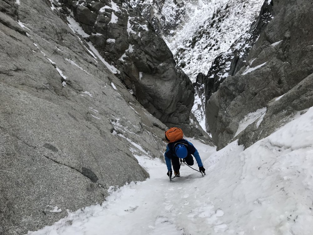
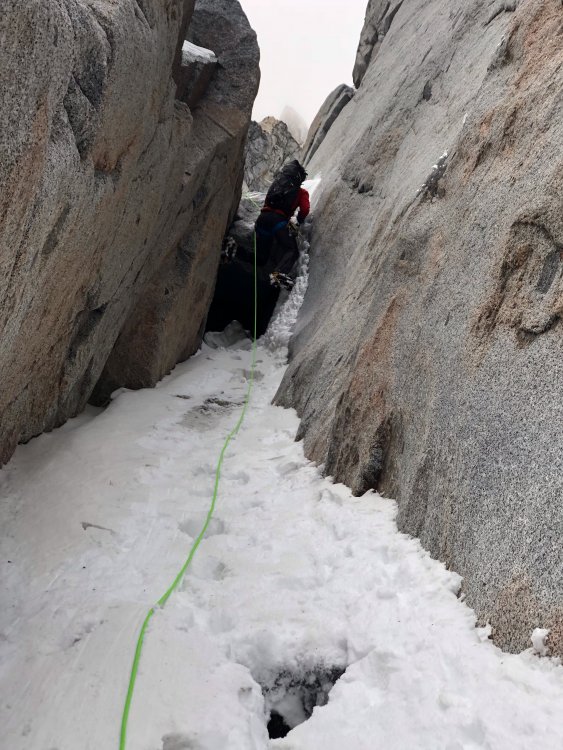
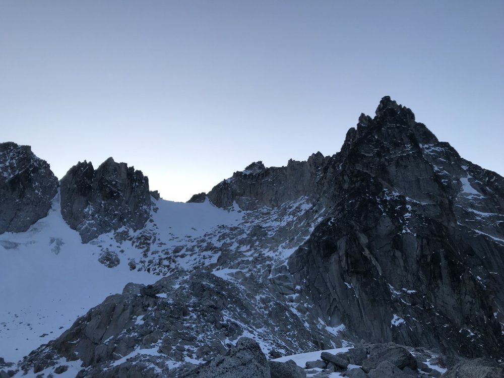
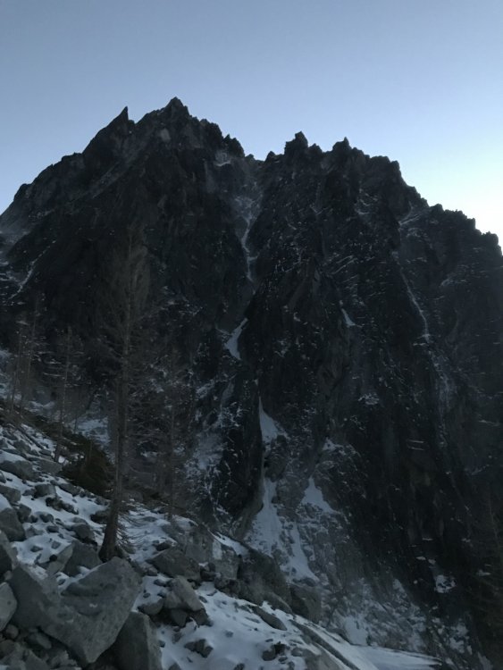
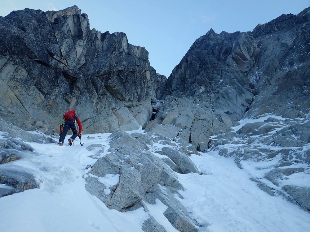
Use this thread to post ice conditions, photos, and beta for Winter 2021-2022. Additional resource/online guidebook for the infomaniacs- https://cascade-ice.com/ Keep it simple and informative, be nice and stay safe out there!!1 point
-
Trip: Goode Mountain - Megalodon Ridge Trip Date: 08/29/2021 Trip Report: Megalodon Ridge. An evocative name for an evocative climb on Goode Mountain, the tallest peak in the North Cascades National Park. Priti and I have been struck by its lore ever since we were students learning to alpine climb. It is another one of those mythical Cascades test pieces that rarely sees ascents (although it really should get more attention). Megalodon Ridge is the East ridge of Goode, joining with Memaloose Ridge and Goode Ridge from the Southeast before it reaches the summit. The climb ascends with foreboding views out onto Goode’s impressive North Face and the highly aesthetic, classic NE Buttress. Put up in 2007 by local legends Blake Herrington and Sol Wertkin over three days with recon by Dan Hilden, we were maybe the sixth known ascent. Dan and Jens Holsten made the second ascent in 2010 over a blistering 27 hour single push. FA TR: https://cascadeclimbers.com/forum/topic/53892-tr-mt-goode-megalodon-ridge-iv-510/?_fromLogin=1 Second Ascent TRs: - http://jensholsten.blogspot.com/2010/09/sound-of-goode.html - https://cascadeclimbers.com/forum/topic/76094-tr-mount-goode-megalodon-ridge-932010/ Other folks who have successfully put their hat in the ring include local heroes of ours: Alex Ford, Laurel Fan, Austin Siadak, Michael Telstad, and Sean Fujimori…all people we have no business having our names in the same sentence…which added to the improbableness of this climb. With new standards in moderate 5th-class choss tolerance, however, I think it’s time to lift the veil on this elusive climb. Named after the prehistoric behemoth of the ocean, fish-themed snacks are a must. 33.5miles and 8,500ft vert round trip make this climb a relatively chill 3-4 day outing, an ambitious 2 day outing if you’re a pro climber, and an unfathomable single push outing if you’re a demi-god. Being mere mortals, we did this as a casual 3-day outing with lots of time to spare. Since its inclusion in Blake’s 2015 “Cascades Rock”, those pages went unconfronted for six years until Michael and Sean posted of their adventure this past July, reigniting its possibility. Michael TR: https://cascadeclimbers.com/forum/topic/104101-tr-mount-goode-megalodon-ridge-07192021/ Michael had an amazing trip report that helped us immensely. The purpose of this TR is to sprinkle in some more micro beta if you choose to have less of an adventure. Strategy Tips The route could feasibly be done in 2 days by a very fast team of folks who are used to covering many miles of trail quickly. But it is actually a very moderate outing when done in 3 or 4 days. I'll outline all bivy options. You never really need to carry much water with you unless you plan to bivy on the summit. We chose to carry less water on the route, and skip the summit bivy, since it's just an hour or two down the SW Couloir to flowing water. The Goode Mountain summit bivy is truly remarkable and a destination in and of itself. There are two ledges at the very top which can fit four, then two more ledges 60m below the summit which can fit four more. Sleeping on top is REALLY COLD, however, and you can get away with bringing less clothes if you don't sleep on top. You really don't need to have a stove on this trip either since there is enough flowing water (unless the daily high's are below freezing in early season). We regret bringing a stove. Save every ounce In all of my anecdotal polling data, nobody has taken the alternate wraparound descent as described in Cascade Rock. Seems to be generally difficult and sketchy, requiring gnarly glacier travel and crampons. Most parties who do the NE Buttress go down the SW Couloir to Park Creek, and it's kind of nice to just take the normal descent and avoid any extra shenanigans. So...recommend just taking the normal descent. There is still some weirdness going down to Park Creek, however, and we had to check our tracks frequently. Many tracks are available on Peakbagger.com You can probably skip crampons and ice axe. The SW Couloir doesn't really require it, although you will find chill snow travel on descent. There is a snow ridgeline along Megalodon Ridge (the ski descent). Depending on the time of summer, you may be on top of the snow, in a moat, or in choss. If you're on top, you can probably get away with just belaying across if you're worried about the exposure. Pair down the weight!! We brought light glacier harnesses and loved it! We clipped gear onto our backpack waist straps and all draws went around the neck. There is really only 4 roped pitches. The descent is between 2 and 6 rappels depending on how much down-climbing you're comfortable with, so you don't really need a regular harness, unless you're bringing more than a single rack. A single rack .2-3 and a few small nuts is more than enough if you plan to solo <5.6 terrain. Bring more gear if you plan to simul. You can even skip the #3 if you are really confident at 5.9. Less is more. Headphones and downloaded podcasts make the 20 mile hike out go faster. Skip the chalk bag. Maybe bring a tiny tube of liquid chalk. If you're confident in climbing 5.8 in techy approach shoes, you could maybe skip rock shoes altogether. Cache beverages at Maple Creek on the way in so you have it on the way out! There are really just 3 mandatory pitches of climbing all stacked on the headwall, and two additional optional pitches (the rest is 4th class and low 5th). To start off, I personally highly recommend roping up at the top of Tower 1 for the downclimb to the first notch since it is megaloose 5.6 downclimbing with mega exposure (Note: the FA party rappelled 50m to the south, not recommended). Then unrope for the traverse up/over/around gendarmes until the headwall pitches (4th class and low 5th). Bypass gendarmes logically via lines of least resistance (sometimes up and over, sometimes around). Rope up for the three headwall pitches to the summit of the SE summit: 1) 35m of LOOSE 5.7-5.10 (depending on which variation you chose), 2) 30m of 5.9 (technical crux of route) with many hand cracks, 3) 70m (simul) of LOOSE 5.7 to the SE summit (you can stop before summit if you don't want to simul). Then unrope again, pass over the "ski descent" snow ridge, downclimb talus Gain the rocky ridgeline again and pass a prominent col (not to be confused with Black Tooth Notch) Continue on the rocky ridgeline, passing a piton and an old sling (5.6), continuing mostly on top of the ridgeline to the final gendarme just before the Black Tooth Notch. Blake describes it as "a pitch of well-protected 5.10 climbing on the north side of the crest down into the notch" (Michael down-graded it to 5.9). We found a 4th class route on the South side (climber's left) which bypassed the gendarme entirely, if you want to lose cool points. Cross over the Black Tooth Notch (the SW Couloir), notice the rap stations, then an exposed traverse (cairn here) meets up with the NE Buttress. Three 30m pitches of exposed and quality 5.6 (angling severely up and right) take you to the summit. We downclimbed the 5.6 back to the Black Tooth Notch, skipped the first rappel at the notch, scrambled down 15m to the next rappel, then made two raps (30m then 15m). I highly recommend not trying to downclimb these two rappels...just take them, it's steep, loose terrain. Approach Start from Bridge Creek Trailhead (just East of the Rainy Pass Trailhead) and take the PCT south, leaving it for the North Fork Bridge Creek trail (this is also the approach for the NE Buttress of Goode). Starting from the Bridge Creek TH instead of Rainy Pass saves an extra mile of hiking. Our downloadable tracks once you leave the North Fork Bridge Creek Trail and getting up on to the ridge are here: https://www.peakbagger.com/climber/ascent.aspx?aid=1748765 Pictured above is the turnoff from the North Fork Bridge Creek trail which matches the tracks. It's an obvious boot pack that quickly turns into easy bushwhacking through alder. This turnoff is approximately when the trail is closest to the creek. Pictured above is the minor bushwhacking (knee to waist) over the creek (hidden) to gain Megalodon Ridge (right side of the frame). The bushwhacking will be much harder if it's just after a rain. When you get close to the creek the bushwhacking goes over head just for a little bit. We took lessons that Michael and Sean learned and stayed on land through the dense brush, heading upstream for ~50ft along the creekbed instead of attacking the creek directly and wading upstream in the icy water. When you pop out onto the creek, don't get in the creek until you confidently see your egress point. You don't want to spend more time in the creek than necessary. I got screaming barflies just from our straight-line crossing. If you don't see the super obvious exit point (circled in red above), keep plowing upstream through the dense brush. Once on the other side of the creek, a little more bushwhacking takes you to a rocky stream bed which you follow for a ways until you reach a chockstone waterfall (get water here). You have 2-4hrs until you reach water again (approximately 1/4) up the ridge, so you don't need to carry too much. Chockstone Waterfall. Follow ledges high and right until it opens up. Follow the stream until you get to the chockstone waterfall (where the green track diverges). Cross the creek over to the North (Megalodon) side and skirt the the top of the canyon wall until it opens up...don't go straight up the ridgeline. Follow open slopes up to the top of the ridgeline until you get to a small saddle and a 5.4 buttress. This 60m buttress is super loose and scary, so spend some extra time looking for a safe route up. Above the buttress is a few more hours of 4th class hiking and scrambling to the top of Tower 1. There is mild exposure on the final ridge to the top of Tower 1, but it's easy climbing. From the top of the buttress to the water are several really good bivy sites. At the water source is flat snow and boulders (not really a good, dry bivy site), so find something lower down on the ridge and hike up to retrieve water. This is the last flowing water until the Goode High Camp basin below the SW Couloir (1-2hrs after reaching the summit), so fill up a day's worth or more if overnighting on the summit. You also have the option to melt snow at "ski descent" along the way if you chose (no flowing water here). 4th class ridge to the top of Tower 1. Looking over onto the North Face and the awesome NE Buttress route. Neat pic. Pano of Memaloose Ridge as it meets up with Megalodon at Tower 1 on the right. From the top of Tower 1. The "headwall" is on the left (SE Summit) which contains three roped pitches. The FA party rappelled 50m to the South then traversed to the notch (not recommended). Other parties since have downclimbed. The downclimbing is loose, exposed 5.6...highly recommend roping up! You can unrope again down at the notch (~2 rope lengths). Unroped, easy scrambling up/over/around several gendarmes to reach the headwall. The traverse from Tower 1 to the SE Summit Headwall. Once at the headwall, choose your own adventure. The first pitch is 30-60m (depending on how high up you start belaying) of 5.7-5.10 climbing. Belay under an obvious corner on a ledge. The second pitch is quality 5.8 or 5.9 (the technical crux of the route) hands and fists for 30m to a ledge below the final ridgeline to the summit. The third pitch is 70m of unprotect able 5.7 ridge climbing (stacked, loose blocks) to the SE summit. You can stop short of the summit if you don't want to simul. Blake suggested the SE summit as potentially a good bivy, but I didn't see anything that looked mildly comfortable. Press on to the summit or the Goode High Camp. Looking down from the belay at the top of Pitch 1. You can see the ridge traverse down to Tower 1 (center), Megaladon Ridge (left), and Memaloose Ridge (right). Could be a neat trip to take Memaloose into Megalodon Ridge! Looking up at pitch 2. Start in the corner and traverse left. From here we unroped for the rest of the way (and we're not very good rock climbers either). You can also put on your approach shoes for the talus. Cross over the snow (it is all choss now). Melt snow here if needed, no running water. Downclimb talus and start back up the ridge, staying mostly directly on the ridge. The final obstacle is a gendarme guarding the Black Tooth Notch. Go right (North) for the 5.10 original route (5.10 or 5.9) or downclimb and go around left (South) for our 4th class cheater-bypass route to gain the Notch. Once at the Black Tooth Notch, traverse right (North) to join the NE Buttress. Climb 3x 30m pitches of quality, exposed 5.6, trending right to reach the summit. You can then make 3 traverse-y rappels back down to Black Tooth Notch or downclimb. Recommend taking two rappels down Black Tooth Notch (30m, then 15m) since it is very loose and steep. Here is a really good description of the descent: https://engineeredforadventure.com/goode-mountain-northeast-buttress/ Looking back at the final gendarme before the Black Tooth Notch at the two route options (photo taken from Black Tooth Notch looking East). Photo of the entire Megalodon Ridge! By now, you should be able to pick out "Tower 1", "SE Summit", and "final gendarme". I'm not going to overlay them for you . The photo is taken from the ledge traverse on the North side looking back at Black Tooth Notch. Another view of the "final gendarme" and the 5.9/5.10 downclimb on the North (shady) side that we did not do. Fish-themed snacks are mandatory. Looking up from the normal descent towards the SW Couloir. A long, but straight-forward descent down to Park Creek Trail and 20miles on trail back to the car. There is a good High Camp bivy site with water in the basin below the couloir: N 48.48025° W 120.91991° Gear Notes: single rack .2-3, few nuts, 8 single alpine draws, 3 double alpine draws, light glacier harness Approach Notes: Tracks: https://www.peakbagger.com/climber/ascent.aspx?aid=17487651 point
-
Nice photos on the TR Nick. 5.9+? Not sure I have ever climbed it with anyone that thought it was. But grades change with the times. As Marlin mentioned above, the easiest approach for effort (I've done all of them many times over) to the East Face is drop off the saddle on the north side of Roothaan and almost immediately head right (east) on the climbers trail to the next saddle north of and below Roothaan. Go around and behind the ridge that will eventually become Chimney rock proper. Stay really high on the slabs on the east side of the ridge (some 4th class will same so serious effort) that eventually leads to Chimney rock proper. Only reason I could ever see to come in the Pack River road was if you lived in Sandpoint. How about a couple more photos you The crux on 2 and looking down from the sinker hand jam on 3.1 point
-
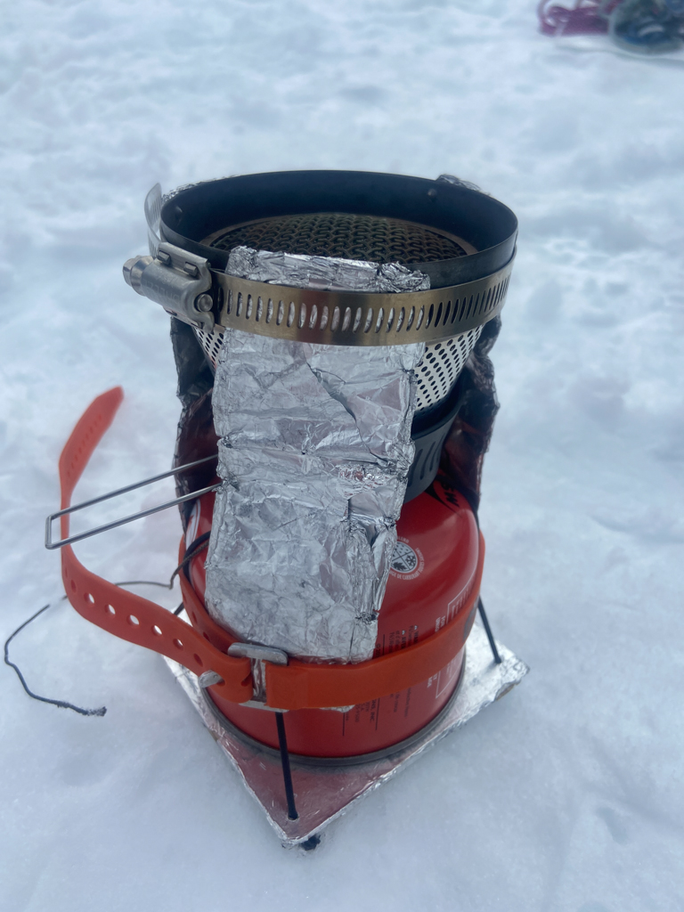
A very clever friend of mine rigged up this to conduct heat from the stove down to the fuel canister. It worked great for us up in Alaska and I will be building my own version patterned after this. But in a pinch you can use some hot water from your stove in the plastic cup. It also helps to keep your fuel warm...meaning sleep with it or at least keep it insulated and out of the snow.1 point
-
Megaladon Ridge provided as much hiking and scrambling as one could dream of, interspersed with 4-8 pitches of roped climbing, with some dubious rock quality. I’d give it a rating of 5.9, Loose-3/5, 2.5/5 stars. I noticed the rock was more loose but blocky on the climber's left of the ridge, and more solid but steep on the right. Staying on the ridge generally led to a decent downclimb, not a cliff, so that was the best option. Most of the big blocky-tower gendarmes were easy to skirt. The round trip is over 40 miles, and as much as I wanted to do it in three days, getting a permit had us at the trailhead at 10:30 on Saturday. It was a joy to get bored of the hundreds of meters of scrambling and easy free soloing.The area is so gorgeous and the perfect weather lured us into spending more than an hour by the river, enjoying the peace and let time expand and relaxing into the sounds of the burbling river and singing birds. I def didn't want to bring the stove, but I guess it was reassuring if we actually got terribly cold or HAD to melt snow. The warm meals were nice, and coffee in the morning. The Petzl Altitude harness was esp nice b/c it sits well under the pack straps, and I have gear loops on my pack, so the lack of them on the harness is fine! We brought the Beal Escaper, and debated between a 50m and 60m rope. The first rappel down the descent would have not made it with only a doubled over 50m rope. Careful about pulling rocks down on yourself at that rappel!1 point
-
Such a great outing in an beautiful area with the best partner! Amazing write up!!1 point
-
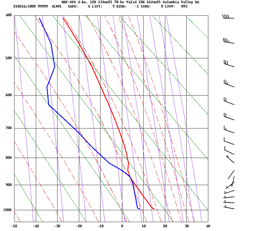
The timeheights seem easier to use, but you can also get an estimate of where the cloud deck will be from the soundings. For example, with the following forecast for Wednesday: Because the blue & red lines touch around 860 mbar, that tells you that there will be a cloud layer there. I forget exactly what the lines represent.. I think one is temperature by height and the other is some kind of "ideal" temperature by height curve. Ok, I looked it up and it has to do with dewpoints. Read this if you care to know more: https://www.weatherwatch.net.au/weather/atmospheric-soundings-an-introduction/1 point
-
With some time on my hands with the quarantine and all, I decided to compile some research. Here's a list of "forgotten" Cascade alpine testpieces (ice focused) or FACTs. Feel free to add some others I left out! Who's gonna be the first to tick the entire list? I apologize for all the weird formatting. I just copied this post from my blog https://climberkyle.com/2020/03/22/forgotten-cascade-alpine-ice-routes/. I90 I90 climbs offer the best access and easiest conditions to predict. There are undoubtedly many more climbs to be discovered in this area with easy access, generally good rock, and surprisingly rugged little mountains. Mt. Kent, North Face (multiple variations): the greatest north face in the Snoqualmie region with many long 1000 ft lines. Bonus: you can see conditions from I90 near exit 42 while driving west! This has been super high on my list to explore. Snoqualmie Mt, North Face (multiple variations): an abundance of mixed ice lines like the classic New York Gully and the lesser known Pineapple Express and Blue Moon. Abiel Peak, North Face (multiple variations): the “Ben Nevis” of the PNW has many shorter alpine ice and mixed lines. Bryant Peak, Hot Tubbs: Maybe this route hasn’t been around long enough since Jacob and I published it, but it reportedly hasn’t seen much action, so I think it’ll be forgotten soon enough… Summit Chief Mountain, North Face: Colin Haley said this line had “more ice climbing than any other Cascade ice climb” he had ever done at the time. Big compliment. The North Face is much like Dragontail, just fatter. Peak 3964, False Idol: An incredible 10 pitch ice route off the Middle Fork Snoqualmie that needs very cold temps to form. I believe this is just scratching the surface of the ice potential in the Middle Fork. US2 US2 offers some hotspots like the Stuart Range, with its steep granite peaks, and a sprinkling of other incredible routes in the Lake Wenatchee area. Weather is generally colder and drier on the east side, which is good for ice. Chiwawa Mountain, Intravenous: Cutting edge Colin Haley mixed route deep in the Glacier Peak Wilderness. Buck Mountain, Buckshot: Another bold line in a wilderness setting. One of the great underrated north faces in Washington. Mt. Index, North Face: Steepest peak in Washington, visible from the highway. Always an involved matter for a sub-6000 ft peak. Another huge route is Murphy's Law. Dragontail Peak, NE Couloir: This route feels much more full on than Triple Couloirs next door, and seems to be difficult to get in proper (fall) conditions. Colchuck Peak, NE Buttress Couloir: Often overlooked with Triple Couloirs and the North Buttress Couloir next door. Ends with a cornice-tunnel! Argonaut Peak, NE Couloir: Also a rock/snow route in early summer, this can be a fantastic mixed/ice route in late fall. Mt. Stuart, Ice Cliff Glacier: a technically easy but deceptively committing and full-on climb in a wild setting. Argonaut Peak, Chad Kellog Memorial Route: Challenging new age mixed route in the heart of the Stuart Range. Mt. Stuart, Lara Kellog Memorial Route: Climbs the incredible NE Face of Stuart above the Ice Cliff Glacier. Looks directly across to the Chad Kellog Memorial Route. Mt. Stuart, Stuart Glacier Couloir: A classic route where the crux is arguable climbing the west ridge in mixed winter conditions. Nason Ridge, Alpine Dropout: A fantastic looking ice route that sits just above Lake Wenatchee. Mountain Loop Close to Seattle but tragically overlooked, the peaks of the Mountain Loop are as rugged as anywhere in the North Cascades but with surprisingly decent winter access. The myriad of big climbs in this little region speaks volume to the incredible terrain. Big Four Mt, North Face (multiple variations): multiple routes, including the famous Spindrift Couloir. This is a mighty north face, and routes often take multiple days. Hall Peak, North Face: little brother to Big Four supposedly has some ice routes. Three Fingers, NE Face: This is a big route on a surprisingly big mountain. I believe there’s much more potential on the east side of Three Fingers. Whitechuck Mt, E Face Couloir: A very aesthetic couloir ice/mixed route. Access can be challenging unless it is a very low snow year. Whitehorse Mt, E Couloir: This steep route splits the Squire Creek Headwall for a fantastic line. I think it might even be visible from Darrington?! Sperry Peak, E Face Gully: Another beautiful, long, moderate ice/mixed route that likely varies in technicality from fall to spring. Sloan Peak, Full Moon Fever: This route climbs the weakness on the NW Face of Sloan. Having been at the base, I can say there is HUGE potential all over the place near the route. Sloan Peak, Superalpine: I certainly hope this climb isn’t forgotten, as Porter and I believe it is truly the best moderate alpine ice route we have climbed in the Cascades (better than Cosley Houston or the NW Couloir of Eldorado), but I know how things go around here… Lake 22 Headwall: who would think that one of the greatest alpine walls in the Cascades was just a short hour drive and hike from Seattle? There are so many unclimbed 2000 ft lines up this face, and you can get conditions updates by searching Instagram! Highway 20 Highway 20 undoubtedly has many huge ice lines, but difficult winter access has limited exploration. During lower snow years, the Cascade River Road could be a great area for exploration and development. Eldorado Peak, NW Ice Couloir: This route was sort of “remembered” in Fall 2019 when probably 20 parties climbed it (me included), but it’s a fantastic easier route, so I’ll leave it here. Colonial Peak, North Face (multiple routes): The mega line Watusi Rodeo offers 4000 ft of front point terrain and is “easily” accessible all winter. First Date is another attractive route. Pyramid Peak, NE Face (multiple routes): Home to some challenging mixed/ice routes on a wonderfully aesthetic peak. Graybeard, North Face: Everyone seems to report this deceptively big route deepened their sense of mortality. Davis Peak, No Milkshakes: the north face of Davis Peak is supposedly the steepest vertical mile drop in Washington. Silver Star, West Face Couloir: Originally planned as a ski descent, it actually turned out to be a huge ice climb! Visible from the highway, but you probably need a sled to get up there. Cutthroat Peak, Cauthorn Wilson: Gaining popularity lately, can be climbed right before the highway closes or after it opens. Early Winters Couloir: This one is sort of a classic and can be climbed in both fall and spring. Highway 542 The areas around Baker and Shuksan are generally well explored, but still offer great adventure. The Black Buttes are one of the centerpieces for hard alpine ice climbing. Lincoln Peak, Wilkes-Booth: A huge, challenging route on one of the hardest peaks in Washington. Assassin Spire, NW Face: Considered by many to be the toughest summit in Washington, this was also the first peak where the first ascent was made in winter. Colfax Peak, Ford’s Theater: The “forgotten” next door neighbor of the ultra classic Cosley Houston. Mt. Rainier / Tatoosh This area is dominated by the mountain, but I’m guessing the Tattosh have good stuff and certainly easy access. Rainier, Mowich Face: A long moderate route on the “quiet” (NW) side of the big hunk-a-hunk. Rainier, Ptarmigan Ridge: A steeper, more sustained route than its next door neighbor, the world-renowned Liberty Ridge. Mt. Hood I don’t know much about Hood, but I’m sure there are some great routes that are infrequently climbed, so I’ll take suggestions here!1 point
-
Just to jot down a few more routes while they are in my head: Mount Hood: (Much info on Wayne Wallace's blog: https://waynewallace.wordpress.com/?s=hood) North Face Left Gulley North Face Right Gulley Black Spider https://waynewallace.wordpress.com/2010/03/07/the-black-spider/ Three Little Monkeys: The Pencil Arachnophobia: Elliot Glacier Headwall Reid Glacier Headwall Yocum Ridge Illumination Rock (Topo from Wayne Wallace) Johannesberg Peak NEB NE Face Mixup Peak West Face The Misunderstanding Sahale Peak East Face Couloir1 point
-
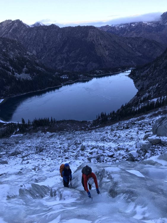
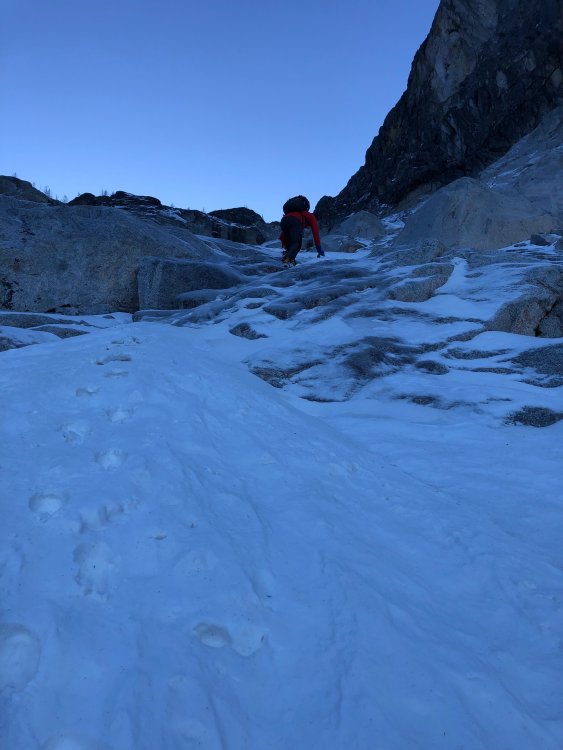
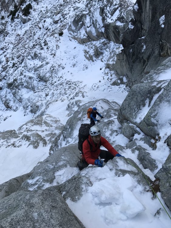
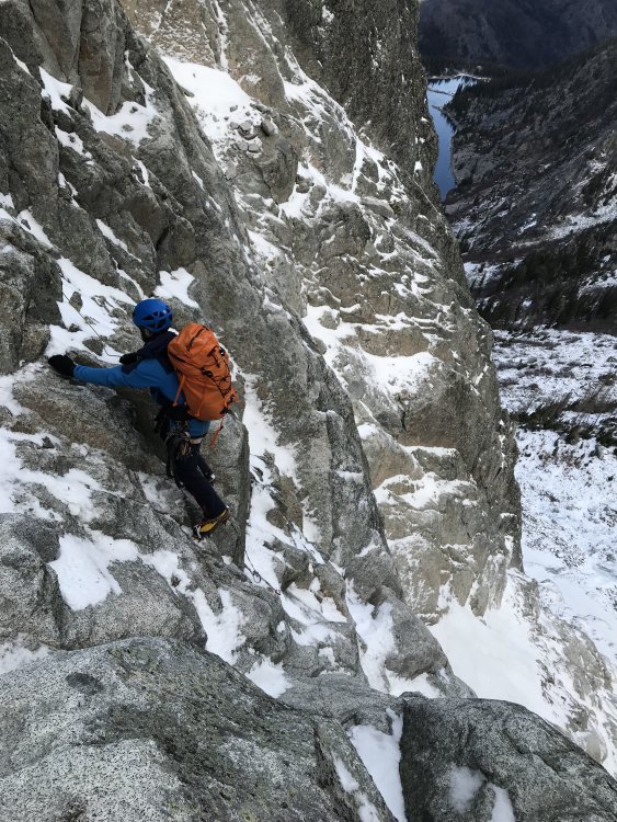
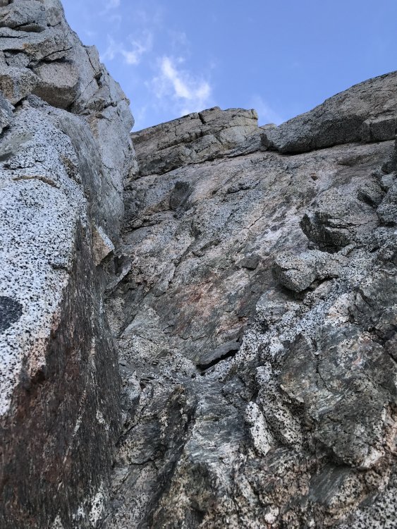
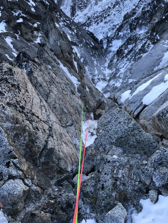
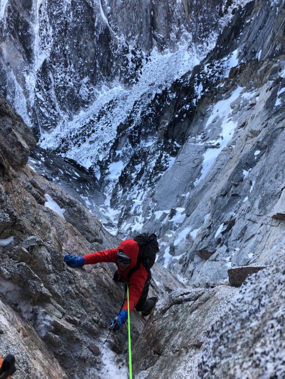
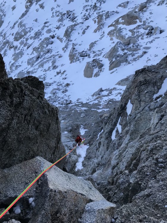
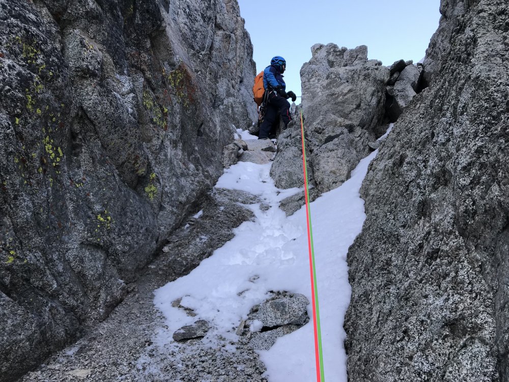
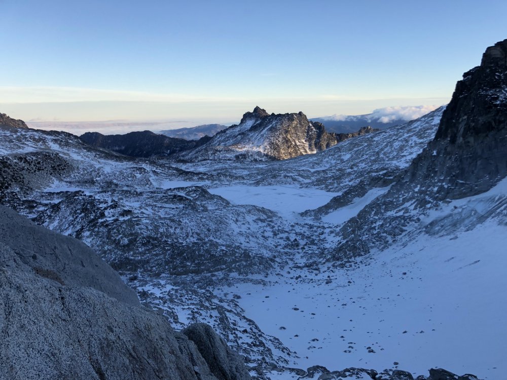
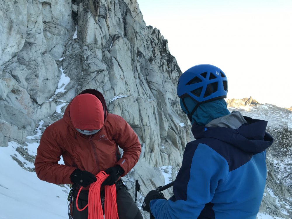
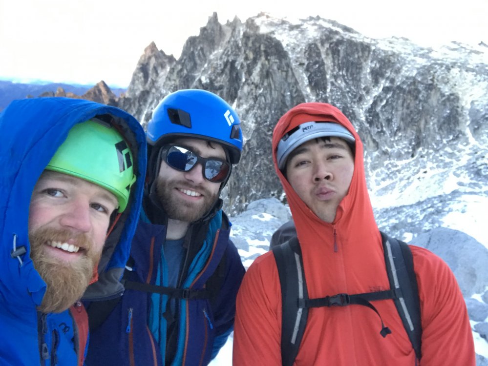
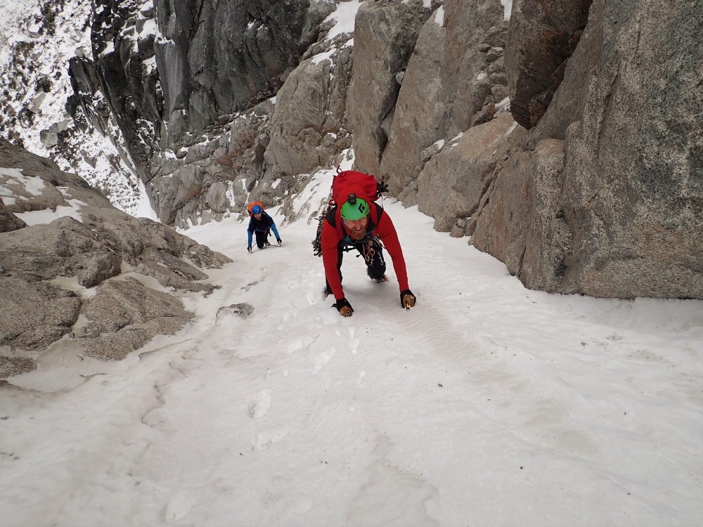
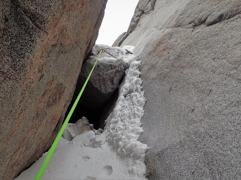
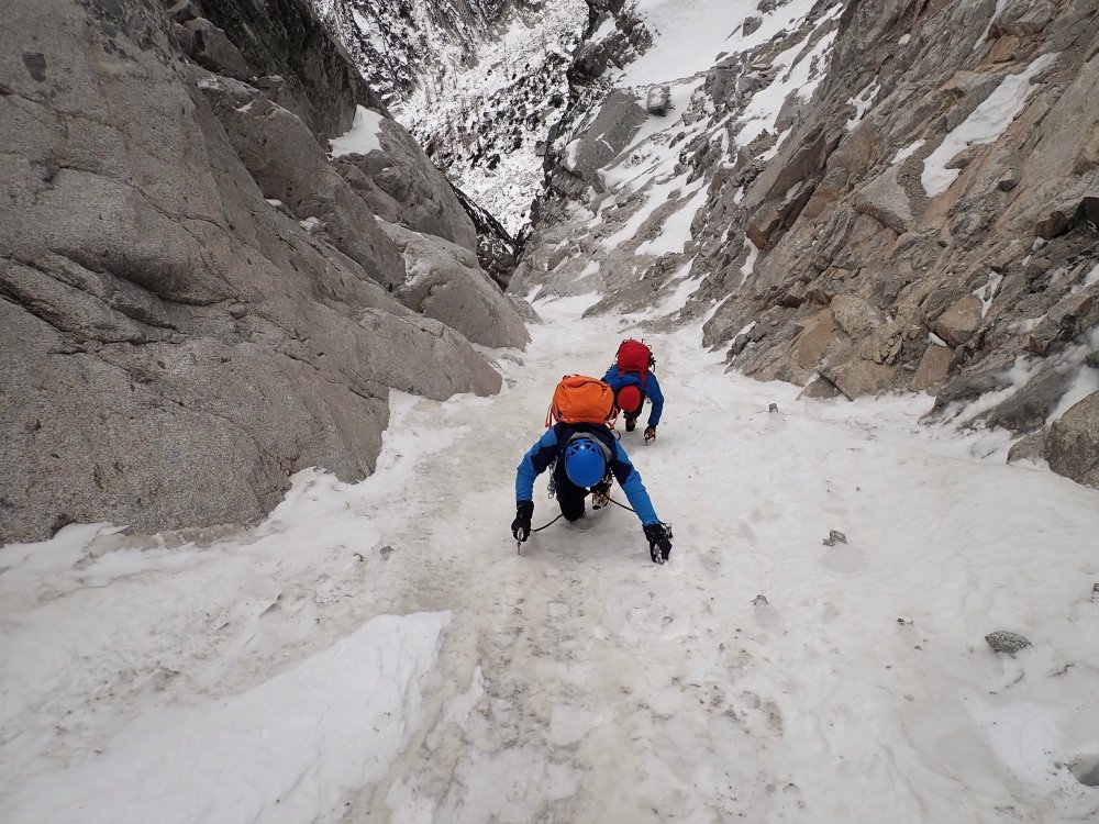
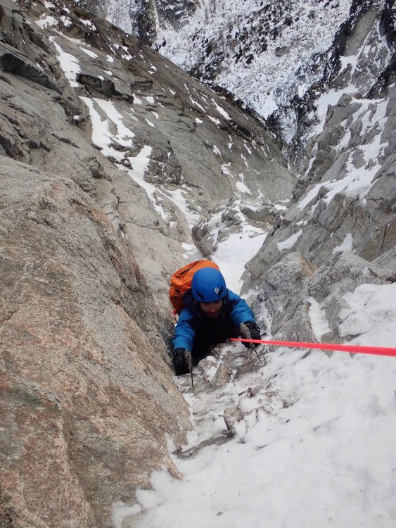
Trip: Dragontail Peak - North East Couloir Trip Date: 11/23/2019 Trip Report: I got out for a stellar day with Kyle and Daniel on Saturday (November 23, 2019). Following a few weeks of mostly high pressure and moderate temps, but with a storm front moving in, we were curious about conditions in the Stuart Range. Kyle brought this route to my attention, as I hadn't even heard of it. We found a TR on here from November 2008 and this inspired us to go give it a look. Be sure to check the trip from Kyles perspective at https://climberkyle.com/2019/11/23/dragontail-peak-ne-couloir-wi2-m5-r/ After leaving the trailhead around 5 am, we found more snow on the surrounding peaks than expected, which was promising considering the lack of recent precip, except for a day or two the week leading up to this. We knew the weather was supposed to deteriorate and winds were supposed to pick up throughout the day so we hurried to Aasgard Pass. We switched to boots and crampons where the creek down the pass was frozen and flooded over the boulders. At around 8 we started soloing up easy little water ice flows toward the base of the couloir. At the base of the couloir, we could see the first dry section that leads into the couloir and it didn't look too hard. We opted to rack up but solo up it. It was a tad techy so I fixed a cordelette as a hand line in a few spots for extra security. Above this, we were on variable steep snow. Throughout the couloir, we found everything from thigh-deep wallowing, to firm neve front pointing. About a third of the way up the couloir, there was a steep/overhung chockstone with a thin ice/snow flow on the right. I led up and over this with some mediocre gear (a tied off 10cm screw and a cam lower). Above this, we soloed a bunch more steep snow until our gully ran out of snow and we did a pitch traversing 30ft right over rock slabs to a different snowy gully. Now we were approaching the top of the couloir and it was starting to open up and become drier. Just 2 more pitches took us to the top but, wow, they were seriously full-on. The first pitch was a series of near-vertical granite steps with steep snow in between. This was perhaps the technical crux as there were quite a few delicate moves but also some dark brown ice that took good sticks, as well as generally good gear. I belayed off a horn, looking up at the last pitch, which appeared to be 100% dry. I was tempted to ditch the crampons but kept them on since the only bomber feet I had gotten on the entire last pitch were in the few small patches of ice and I was still hopeful that there would be ice above that I couldn't see. Once Kyle and Daniel got to me, I mentally prepared to take the sharp end for hopefully the last time of the day. There had been a lot hard and sketchy climbing already, and the hardest/scariest was still yet to come. I started up the pitch, immediately finding that the rock quality was deteriorating. I was mostly climbing with both my axes racked since the rock was so bad. It seemed like the majority of holds could be pulled off and gear was sparse. When I finally got good gear halfway up the pitch I yelled "take" and sat back for a sec to breath. I took a few photos, looking both up and down. From then on, I didn't get another piece of gear. Eventually, I could see the ridgeline 20ft above me and was eager to get there. All that stood in my way was a steep kitty litter chimney, devoid of any gear of course. At this point, I had my gloves off since I was just rock climbing with crampons and its nice to be able to feel all the holds that will inevitably crumble in your hands. I started up the chimney, with my pack pressed against the right wall, my crampons finding edges in the left wall, my arms finding chicken wings and armbars, and cursing like a sailor. Thankfully my gopro had already died. I wouldn't mind forgetting this pitch. Down below, Kyle and Daniel were experiencing a constant flow of gravel filling their hoods. I remember throwing one hand up over the ridge onto a jug and letting out a sigh of relief before mantling up and finding an extra bomber belay. The wind up here was absolutely ripping and I got cold quickly while belaying. I was wearing all my clothes and had sweated a bit on the previous lead. The forecasted winds (60mph) had arrived and there were now intermittent clouds, but the sky was still mostly clear. Our weather window was certainly closing. Kyle and Daniel enjoyed the pitch far more than I did and both arrived at the belay with big grins, especially since they could climb near each other and watch all the holds break off. Since I was cold and antsy to move I let them break down the belay and sort out the ropes while I looked for the "traverse to the notch." I found it, but accessing the notch looked just a bit spicy. I wanted to solo it but realized I was just cold and anxious to get down and out of the blasting wind and gravel so I lead it with one rope and gave each of them a terrain belay up to the rap station where a single 60m rap got us out of the wind and to a point which we could walk from. We were out of the wind and off the technical terrain. It was a big relief for me. However, the light was fading and Aasgard pass is never fun to head down. There was a set of tracks up to the summit proper of Dragontail which we followed downhill and down the pass. As the light faded I snagged a photo of the route from across the pass. It looked pretty impressive, I was briefly proud but mostly humbled. We talked briefly about the climb. Perhaps there were mistakes. It would have been possible to bail down the route once we saw how dry the upper pitch was. I was enticed to just climb it since the ridge was practically 80 or 100ft away and bailing down the route would have meant leaving gear and taken a lot of time. Hard choices. Of course, you will never know exactly how it will be until you're in the thick of it, but perhaps we/I made too bold of a choice and got lucky (on the other hand, down climbing the snow would have also been tricky). Food for thought for anyone who has made it this far through the trip report. I try to stay safe and climb hard, but its a tricky balance. Anyway, we got back to the car around 8 pm and headed to McDonald's. All in all, it was a very fun day with 3 competent 22-23yr old Washington born and raised climbers. And for anyone curious about this route right now, I would steer clear! In the coming days, I'll post some first-person climbing video on my insta @porter.mcmichael First, a photo of the route, taken on the descent. Looking up at Dtail Approach ice Still on Asgard Dry pitch to access the couloir Fun steep snow! Chockstone in the middle of the couloir Looking down on the last pitch (I think) Looking up in the middle of the last pitch From the ridge looking down the chimney Looking North from near the top Kyle on the last pitch Daniel on the last pitch Down the rap Gear Notes: 3 screws (placed 2), 4 pins and a bulldog (surprisingly didn't place any), nuts (placed a few), cams .2-2, some doubles in the smaller sizes (placed them all), 60m doubles. Approach Notes: On your right, halfway up Asgard, hard to miss it. The slabby approach pitch is the first obvious way to access the gully (farthest climbers right)1 point
-
I've spent the last three years thinking it was under my bedliner and defending myself against repeated spurious allegations. Nice route, way to get after it!1 point
-
Yes! I've spent the last three years believing that Justin had stole it!1 point
-
Wow guys, thanks. This will be the on-going trip report until I can finish it entirely. Yes it was way more that I can believe. It put it all out there on the line blah blah .. It makes a fun story too, now that I think it back together. It started by looking .. again, at a stupid map . The coolest quadrangle in the lower US is by far the Challenger . With both Picket ranges and many other cool peaks , it is the winner. "Mongo Ridge " as it was pre-named, is the South Buttress of the West Peak of Mt Fury. Its 4000 foot verticle rise is interupted in its mile long rise to the top, by towering monoliths and towers. It competes as one of the largest features on any mountain, anywhere. There werent many good photos of it and I didnt trust the rock on West Fury at all, but I knew it was there.It was just to be seen whether or not it was a worthy pursuiit or not. It wasnt until Mike and I gaped at it while climbing the Haunted Wall on the west face of Spectre that the hook was set. We agreed it was a monster of grim fantasy , and I even ventured to say it may never be climbed ever , for many reasons. One reason was the approach. Its solution hit me in a pre sleep mode of non-concentration, Beckey even confirmed it was possible to down climb from in between the Furies down the south basin. The approach seemed actually doable now! I would just need to climb a major mountain climb to start a most major mountain climb. Colins slide show set my blood on fire for the idea.I tried for a couple of days to find qualified partner. The concrete strike wore on, so I had the time. As soon as I got home from the show, I packed and left a 4 am on thursday the next day. The Ross Lake Resort prefers that you have an appointment I found out. I appreciate though that they can accomadate spontanious jaunts up the lake in their fast boat. The plan was to power the 60 pounds plus to the top of East Fury in 2 brutal days. It was necessary then to get through the brush of Axes(access)on day one(thursday). A bee sting on the left eye lid, the usual brush, and a violent thunder storm with hours of down pour, reintroduced me to the special pain available here in this range. Regardless though, Friday night was spent all alone on top of East Fury... utterly spent it seemed . One of the many debates renting my space was whether or not I could get back to the summit camp in a day or not. You may be familiar with the saying "If you carry a bivouac, you will bivouac". This was a tightly calulated desision: Could I get up it and back to camp in a day?.I went heavy(45lbs), with everything but return food and my sleeping pad. The route had a psychological advantage, but I had more time to work with what it had offer. Despite my wishes to stop it, the planet spun around again to face the solar onslaught. It would show a relativly easy way down to what felt like my ultimate doom.: A route you would only see in the greater ranges of the world, and one to scare the boldest of venturers. The I-pod played the Talking Heads : And you may ask yourself: My God , What have I done?" It was apparent the ridge itself was going to be a tough go just getting to its crest. Avoiding slabby seracs and polished granite at the toe was the first obstacle. Finding a way up the complicated 400 foot wall was tedious and difficult. I had to take off my pack to pull an overhang at one point. Knowing the moves would be doable, I didnt anchor in. I just roped the heavy pig up after the 5.8 moves.. Several pitches later I was greeted by a somewhat clean ridge line that never failed to entertain me over the next 2 days. In the veiws and photos I had seen it appeared to start with 3 major pinnacles, but I soon found there was an extra: Number 1 was a long ridge line of moderate 4th class climbing ending in the first of many deep notches.As I set the first of a dozen rappels , I knew each descent would cut me off further from retreat. I just kept saying a few mantras to myself: Every mountain has a way up, I just have to find it.. .. I will just keep going till I cant.( Not knowing what the option after was of course). And finally:if you live through this. seek help. All those affirmations were just dandy until I crested the top of #2 and looked across directly over to the vertical,400 foot tall, Number 3! It appeared I would need an Alex Huber for this peak at first. I eventually figured I could traverse right from the notch and climb the amazing ridge soaring above a multiple thousand foot face below.I had gotten away with no net so far on the difficulties, but now it was time to break out the hardware. After my 4th rappell overall, and second double rappel down as well, I reached the base notch of a pinnacle that could be its own major summit unto itself. The traverse right across the face led to a shallow yet very steep prow of ridge. I was committed to going unroped to save time but after the first section up(5.9), I clipped into the rope and anchors I set to hold in case of a fall. I left my pack behind again now to tackle the narrow exposed rope-length of climbing . Up I climbed until running out out rope , each time returning back down the rope to retrieve anchors and pack. Looking down the crux on #3 The 5.10 pitch made me hope it was the most difficult section of the massive route.Hundreds of tough feet later I finally balanced at the top of an incredible perch in space Rappelling down the other side of these pinnacles was now becoming routine, but what a routine to have. This particular descent down #3 was so steep, I was left dangling in space for much of the way down. It wasnt easy to get use to such intensity .More was imminent as I looked up at #4 , yet another soaring tower of granite #4 was also very hard going.Travelling up again, I was only attached to it with hands and feet.As I did another scary traverse left,cramps mutated my hands into arthritic and grotesque shapes. As the climbing went on, the rock was again proving to be of fantastic quality and solidity.It all ended up being some of the best climbing I had ever done throughout my years in the high places. Upon reaching the top of #4 ,I wanted to let up a bit on my concentration level. it became apparent that it was only about half over at this point though. It already felt like I had climbed a Mt Selesse via its direct line.I was at least relieved that I had brought a full camp worth of gear with me . Time seems to tick away quicker here.. I found myself grappling with one of the more difficult terrain type that exsists. I call it the knife edge -horizontal- traverse. The Rooster Comb section ,as I called it , was an exercize akin to gymnastics. It never lets you stroll across.It eventually dropped away into another double rope rappel . It required diagonal rappeling, which was also very awkward. Evening was rapidly approaching as I looked to the near final obstacle: Named the "Pole of Remoteness" by a dreaming John Roper. Pre-naming it,He figured it just had to be the hardest place to get to in the lower US. I wasnt going to take up arguement. I was looking ahead for away up and more so, a flat place to sleep now. I was to find neither looking at it from below it. It was the only pinnacle that allowed me a way around it. Very graciously I accepted it over a 5.11 headwall. When I reached its deep up-hill notch however, I had found it to be an accmodating ascent from that side(5.7).It was not to come without its price though. I had an erie feeling "something might happen". I found the way to its summit easily enough, the view was astounding in all directions . Thats my shadow on the tip! At last, I let out a scream that left echoes behind of these silly names we give these citadels of the wild.. There were no solid ways to anchor in the down rope, but I found a loose block to sling as a handrail/rappel line. On the way down the rope(also,me) sent a rock down that would sever it. Fortunatly I still had the second line. As the sun set, the dash for a camp was on. Climbing into the 13th hour now, I spotted a small glacier clinging to the south side . The moat between it and the rock would be a place to crawl into for the night. It provided water, and flat rocks to arrainge into my new bed. It was a pleasant night now with the hard part of climb behind me. Eating then sleeping in the dark, I felt like a very lucky person to have worked this kind of adventure. In the Morning there was still 500 feet of elevation to do to gain the summit of West Fury. The way relented to much easier 4th class climbing. Tired, but not about to let down my guard, I stood atop West Fury at about 10:00 am sunday. What joy and satisfaction I felt there. No wonder the Picket Range is so revered. In my few trips here,I have renewed my enjoyement of the sport and my appreciation for the truly wild. The journey still was far from over. I forgot how complicated it is getting from one Fury to the next. It involved still more rappelling and tons of ridgeineering. All that was left to do from East Fury was to retrace the long glacier and ridges to Luna col> That is where I went down in a heap of pain. Spending my last night there, I rehydrated, ate, and cried when a sad song played on the player. With the rest I got there, it still made for a long day out .It was made better by running into another party from Seattle that were on their way out. We had a great time together on the dock and celebrateing in a restaurant. Some final stray thoughts: I believe the nature of sport pushes the player to reach for more and continually improve. Everyone who safely does so will see that personal accompishment that Erik desribes as; "the trip you never fully come back from!" Enjoy the mountains and help keep them wild1 point

