Leaderboard
Popular Content
Showing content with the highest reputation on 09/23/20 in all areas
-
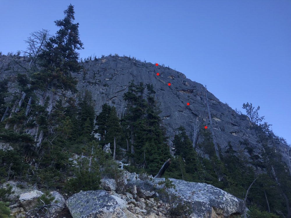
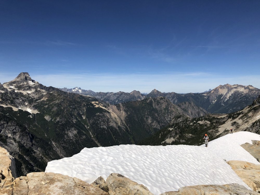
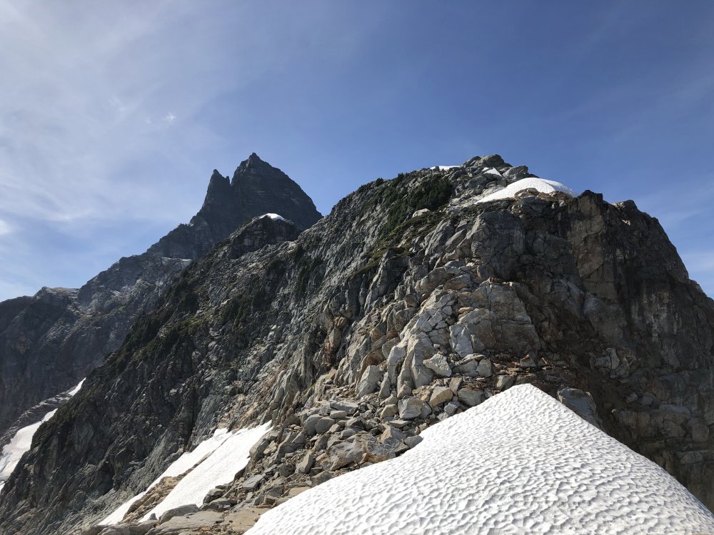
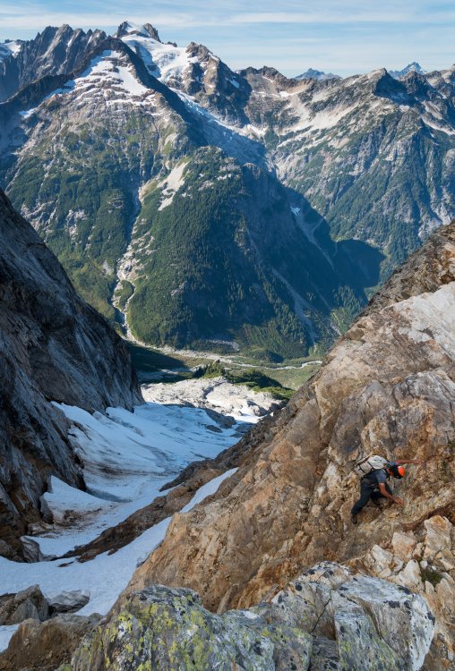
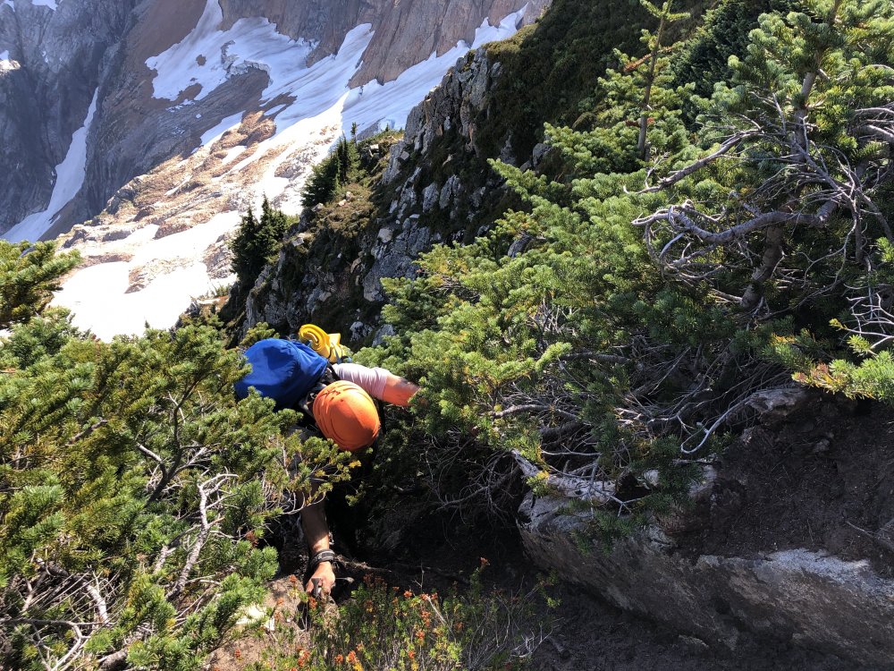
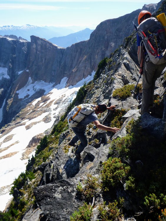
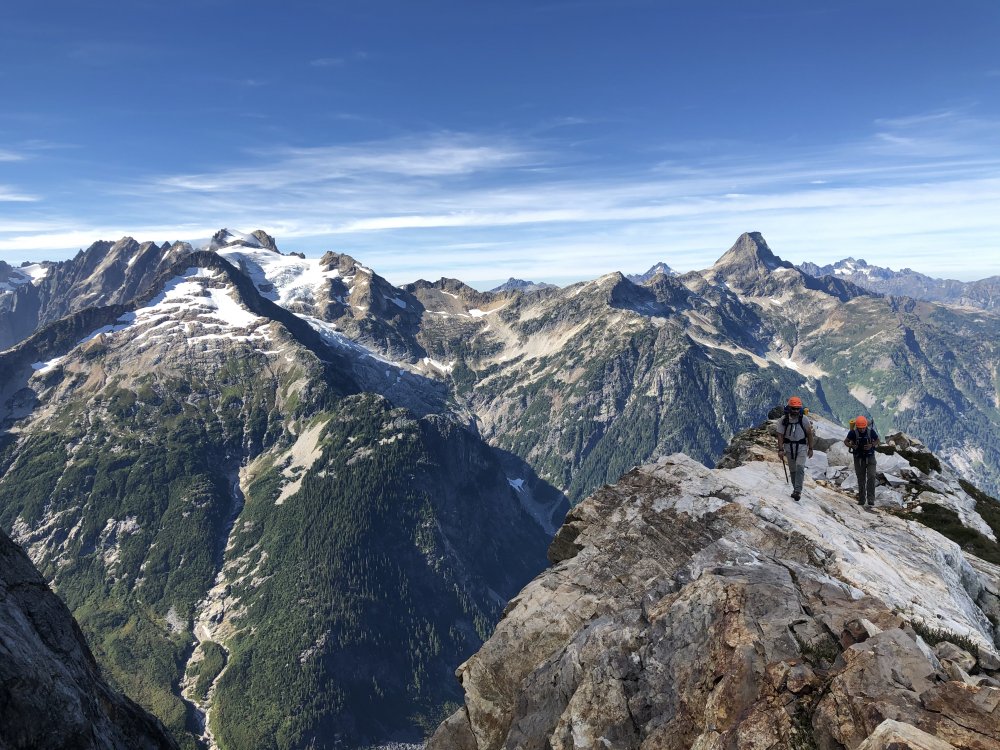
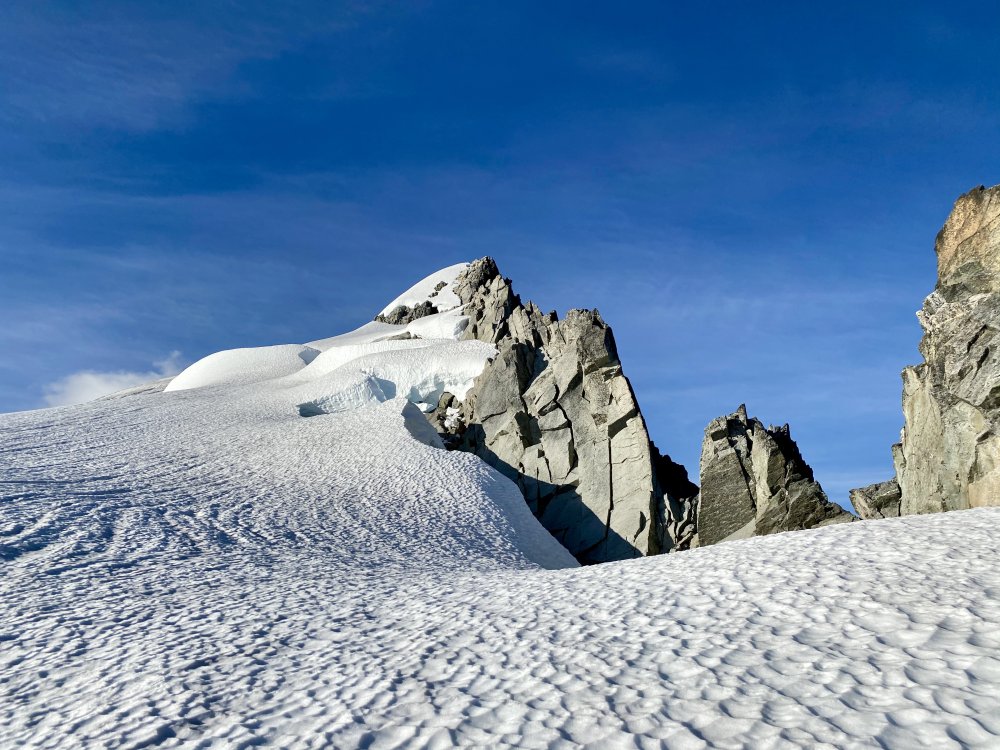
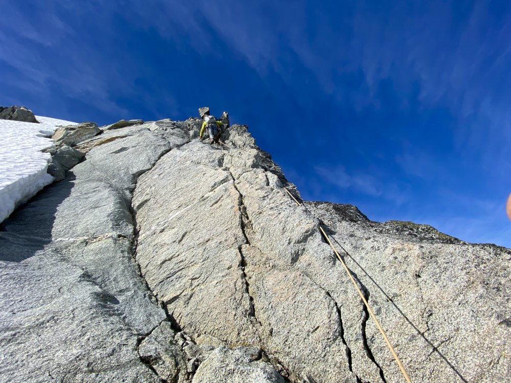
Trip: Cutthroat Wall - One Piece at a Time, 5.10d Trip Date: 09/20/2020 Trip Report: This past weekend (9/20) Tim Foster and I wrapped up what may be a new route on Cutthroat Wall, climbing a bit left of the two established lines on the face. We enjoyed 5 pitches of fun climbing on good stone, with difficulties up to 5.10d. There were no signs of previous traffic on route, but it’s possible that someone (maybe one of you?) climbed the thing back in the day. Our first foray up the wall was over Labor Day weekend. We originally planned to climb an obscure route in the area, but after about 30 seconds of walking from the Cutthroat Lake trailhead, our eyes were drawn to nice looking corners on the left side of Cutthroat Wall. Tim ran back to his truck to grab the bail rack (a set of nuts and a couple rigid-stem cams) plus some gardening implements, and we tromped up the valley. On our first go, we climbed the route in 6 pitches, bypassing the two best corners because the gear looked tricky and the climbing looked hard. The initial line we took goes in the mid-5.10 range, and offers a decent, slightly mellower variation to the crux pitch two, described below. While we were excited about the climb, we clearly had to come back for the money pitches $. We returned the following weekend to discover that the direct corner on pitch two does in fact take small gear (these placements were inadvertently tested with a couple whips—our only falls on route). We climbed to the top and scrubbed/trundled our way back down to prepare for a “clean” ascent the following weekend. On Sunday, we finished the job with a party send by Tim, me, and our friends Milk and Conrad. Pitch by pitch breakdown: P 1: 5.8, 55 meters. Start just left of the main buttress of the wall, ~ 150 yards left and a bit uphill of Easy Getaway. Climb a short, broken corner right for 30 feet, then follow the obvious twin-crack system to a belay below the flare of pitch 2. P 2: 5.10d, 25 meters. Climb to the treed ledge, then move up and left into the flare. Get gear where you can as it’s small (.1's and rp's) and can be finicky to place. Some granite trickery required. There is a chockstone block at the top of this pitch that feels solid enough, but shouldn’t be pulled on, and may need to go at some point. Belay from a tree on the ledge above. Alternatively near the beginning of the pitch, you can climb straight up the narrowing crack from the treed ledge, past a slightly committing 5.10 boulder problem, then cut left up a hidden ramp to rejoin the corner and bypass the pitch's hardest climbing. P 3: 5.9, 40 meters. Climb up the wide hand crack to a treed ledge, battling a few bushes along the way. Continue up and right on the featured face and in the thin corner to a mossy ledge out right. P 4: 5.10, 25 meters. Move left, back into the corner system, and launch up the perfect tips crack (visible from the parking lot!). Pull a juggy bulge and exit right through a short layback section to a good tree belay. P 5: 5.9, 45 meters. Walk right, past a tree, to the awesome splitter hand crack/layback corner that traverses right. Continue up and over a bulge, then move up and right through blocky terrain until the angle eases. From here, scramble up 4th – very low 5th class terrain to the top of the wall. Descend via the gulley described in Cascade Rock, or head down the route with a little down climbing and three full 60m rappels from trees. Tim and I both think the climbing is pretty darn fun, and it’s certainly worth the hike in. The ledgey nature of the wall does make for some shorter pitches and a lack of great exposure up high, but the movement is enjoyable and unique. It could be a worthy linkup with other climbs on the face. While the rock is generally quite good, there is certainly some looseness and lichen remaining. Be careful, as the standard approach sits in the line of fire of anything coming off the wall. As for the name, we figured we would stick with the crime theme (ahem, Johnny Cash), and the route took a few iterations to get just right. If any of you get up to the climb, let us know what you think! Gear Notes: Doubles from tips (bd .1) to wide hands (bd #3), and a set of nuts. Small offset nuts/RP’s are handy for pitch 2. Approach Notes: We never took the same route twice. If you keep walking, you can do it in ~ 1 hour.6 points
-
Best thing I've seen this week since this. The iceberg's motion reminded me of the end of the video. Don't look away!2 points
-
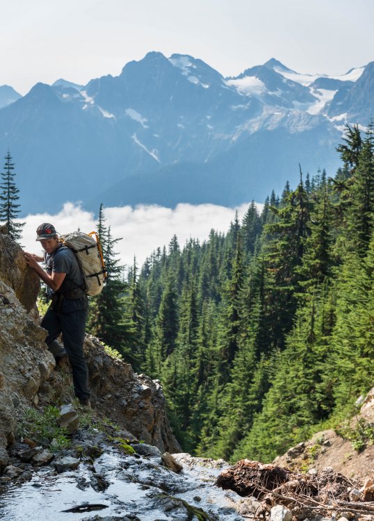
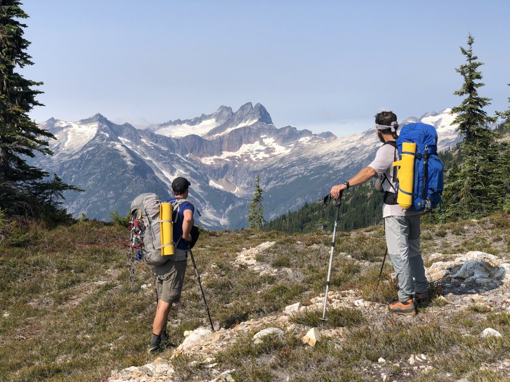
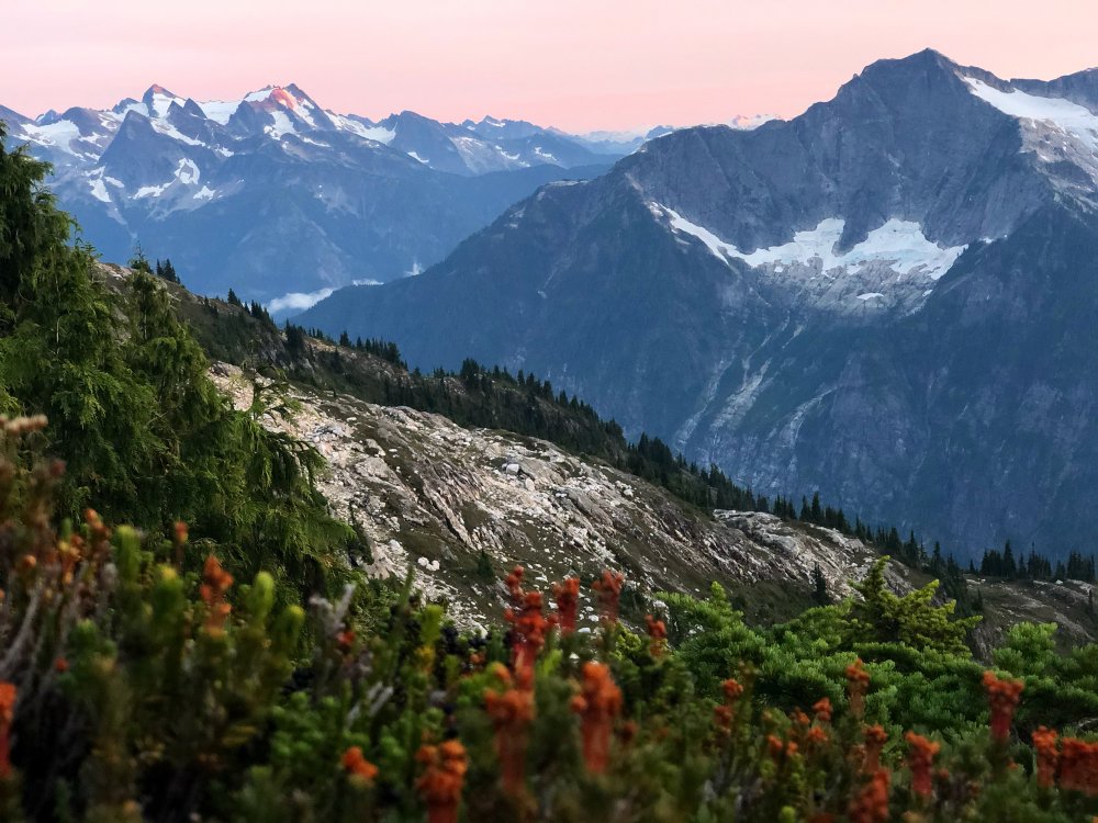
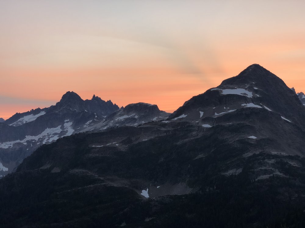
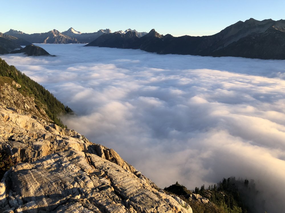
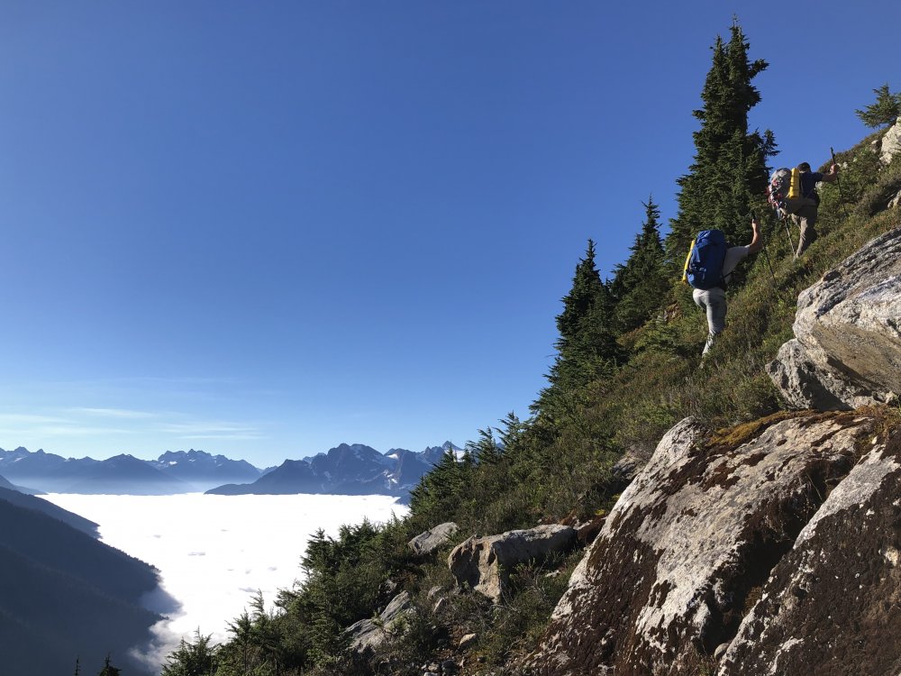
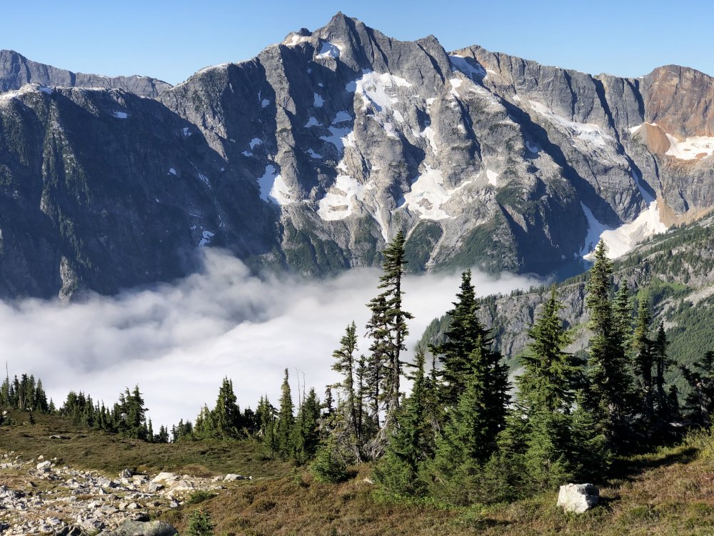
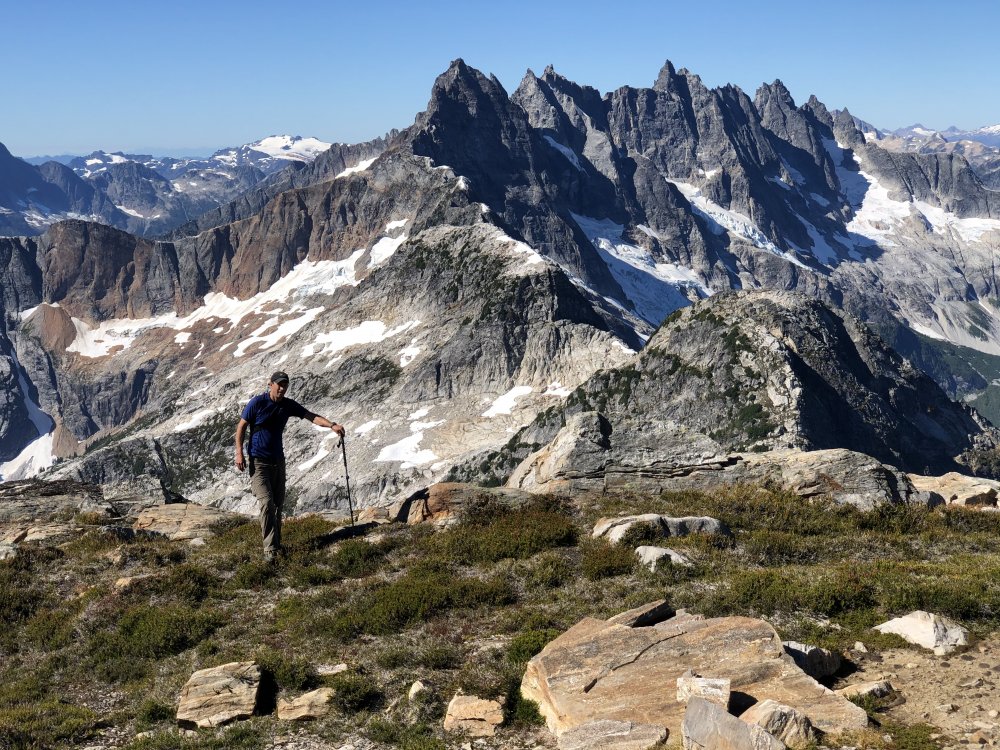
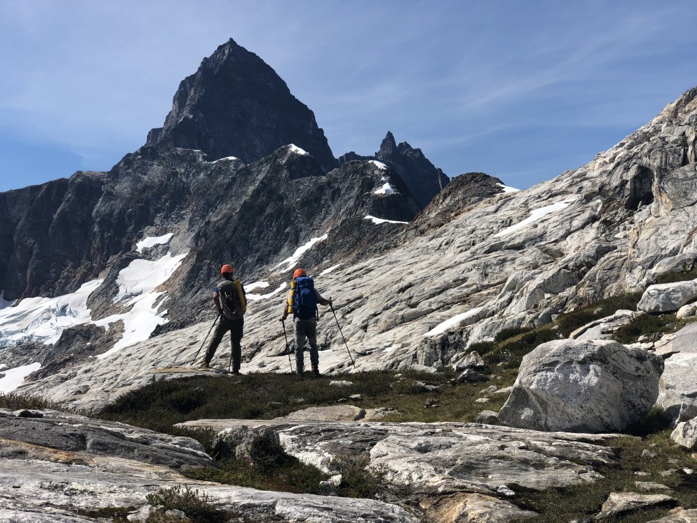
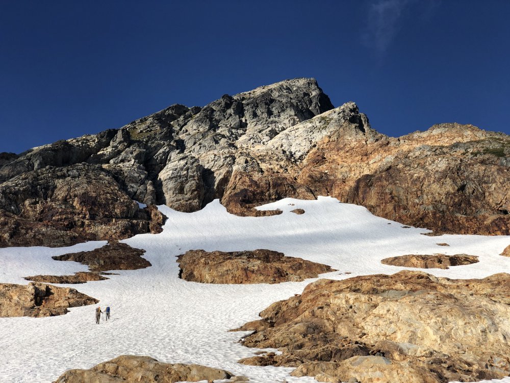
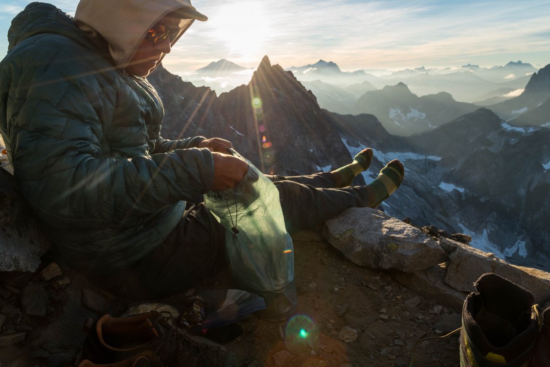
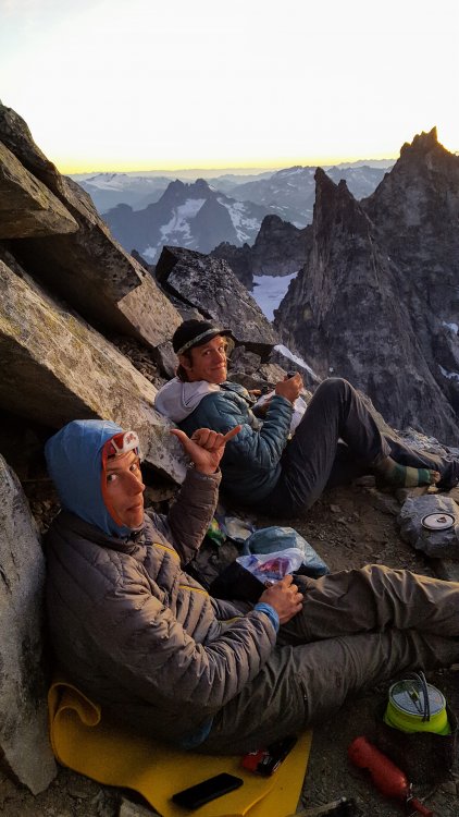
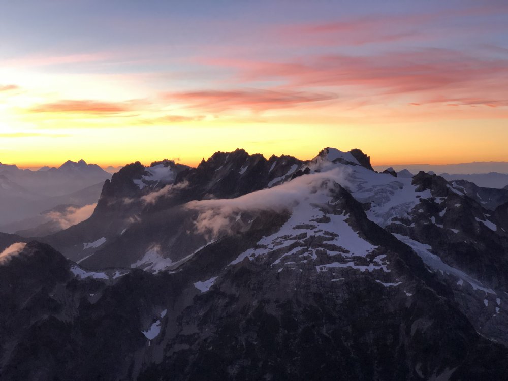
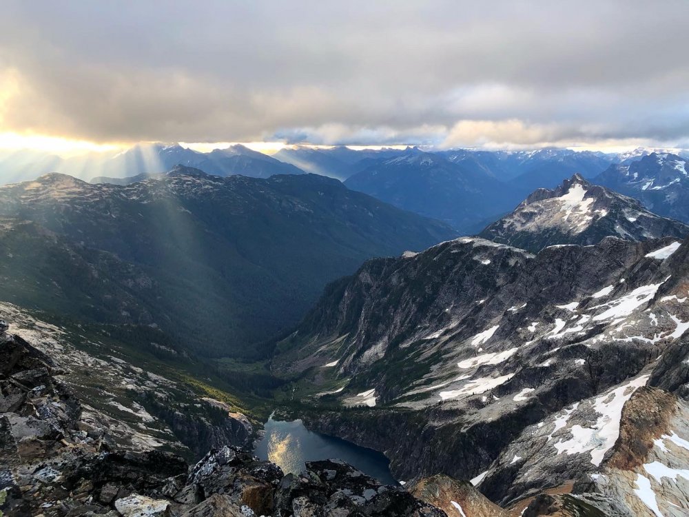
Trip: West Mcmillan Spire/Elephant Butte - West ridges via Stetattle Ridge Trip Date: 09/06/2020 Trip Report: Two weeks ago I had the pleasure of getting back into the Southern Pickets with @JasonG and @Trent. We took the eastern high route/approach via Stetattle Ridge. I outlined the route in the approach notes, this will be more for a general itinerary/thoughts/photo dump. Hiking along Stetattle was extremely panoramic and quite pleasant. We setup camp the first night just north of North Stetattle (pt. 6728). There were abundant tarns for water and flat spots to setup at. Not long after unpacking the guys pulled out the whisky and chocolate, a ritual I'm not familiar with having spent most of my time trying to be as ultralight as possible. We shot the shit for hours and listened to tunes on Steve's little speakers. I'm sure now that theres a little room in my pack for some whiskey. I slept really well until the (full?) moon was dead center over the sky and woke me up with its brightness. We got up decently early for the big day of tagging Elephant Butte and and a plan of making it to the summit of West Mac for the nights bivy. We were a bit above an awesome sea of clouds down in the valley. The drop down to the notch above Torrent creek is fairly straight forward and to get up out of it toward the benches at 6200' above the small lake east of Elephant Butte is just a bit more involved, but not too bad. We dropped packs at the notch at the base of the west ridge of Elephant Butte. Was a quick romp to the summit and we were surprised how many entries in the register there were as of late. We toyed with the idea of staying on the ridge crest and tagging the next two high points west of the Butte (Hippo, Rhino). But some hairy climbing/scrambling, lack of inspiration to tag them, and a concern for having enough time to deal with the ridge to get into Terror basin pushed that idea to the side. I'm glad we spent the effort on the more important task of getting into Terror Basin safely and efficiently. We stayed more or less at 6200' from Elephant Butte until we got to the notch just west of pt 6455. From there it was staying very close to the ridge crest. At this point, the route gets very exposed, serious and committing. Scrambling on 4th class rock, heather benches, veggie pulling. It was not too far removed from what you'd experience on the NEB of Jburg. It finally eases off just before Little Mac. A small sandy notch allows entry into Terror Basin. From there we traversed down across snow to get to the base of West Mac, we were able to go up a dry mossy waterfall on the rib extending down from West Mac which cut out quite a bit of travel. We scrambled up the west ridge and made our way up to the summit. Theres now currently three one-person bivy spots up there now. We made dinner, drank whiskey and waited for the sunset. It was an awesome sunset, highlight of the trip for sure. But after every calm, comes a storm. We settled in for the night in really pleasant weather. At some point the winds picked up dramatically and Steve and I got sand blasted all night. Meanwhile Jason was locked in mortal combat with the snaffles. He said they were trying to take his headlamp off his head. They had told me the night prior that the snaffles really like him. I think the wind that Steve and I were experiencing were keeping the snaffles at bay, leaving Jason as easy prey. Didn't sleep a much that night as you'd guess. Got up and made breakfast and a big pot of coffee in a spot on the summit mostly out of the wind. The sunrise was fantastic and made up for the night we had. Packed up and made out way down West Mac and out Terror basin without issue. This was an incredible trip and thanks to Jason for inviting me on this, I cant say I would've thought to do this kind of trip myself. It was the kind of trip I have been meaning to have for some time now though. And big thanks to Jason and Steve for being SOLID partners. It was really cool being around two guys that have been climbing with each other for as long as you both have. I won't be caught without whiskey on the next Choss Dawgs trip. Myself as we make our way up Sourdough Creek. Jason Photo. Jason and Steve looking at the next two days. North Stetattle. Sunset, Elephant Butte and The Southern Pickets Sunrise, Snowfield group and Davis Peak Sea of Fog. Jason up on Elephant Butte About to make our way into the business end of the traverse. Steve Photo. Steve with the veggie belays. End of the hairy stuff. Jason photo. Into Terror Basin. Headed up West Mac. Up on West Mac preparing for battle with snaffles and wind. Steve photo. Dinner time. Jason photo. Sunset on Mt. Fury Morning light on Inspiration, The Pyramid, Degenhardt and Terror. Kulshan in the distance. Ray of light on Azure Lake. Hopefully Jason and Steve will drop off more of their photos! Gear Notes: Ice Axe, Crampons, Whiskey, Chocolate, Van Halen Approach Notes: Start at Sourdough Lookout Trail, go up along Sourdough creek, Stay on the crest of Stetattle Ridge. From pt. 6154 follow game trails down ramps and ledges to the notch above Torrent Creek. Ascend more ramps and ledges with a bit of steep schwacking up to ~6200'. Traverse westward around that elevation, Elephant Butte is a quick jaunt from the notch west of it. Gain the ridge proper from a notch just west of pt. 6455 (just east of the Mcmillan Spires). This is where the scrambling gets extremely exposed. Traverse mostly solid rock and heather benches toward East Mcmillan, occasional goat trails and veggie belays. Aim for a small notch to the left of where the ridge meets Little Mac.1 point
-
I was digging through my old photos and remembering an epic and formative trip. Thought it would be worth a share. I lived in Valparaíso, Chile for most of 2010. That's where I started doing mountaineering and rock climbing, with a group of chilenos of questionable safety standards. Most of them were part of the Club Universitario Andinista, which was a club formed by former students of the Universidad Técnica Federico Santa Maria. The university club was disbanded after a very public tragedy on one of the Patagonian icefields where, after being pinned in tents by a storm for some number of days, a bunch of students perished from exposure after getting separated into two groups. One of the survivors became my friend and mentor Carlos, although he didn't talk much about that experience. I had climbed a couple times at Las Chilcas, an area in the central region known for sweet but hard sport climbs and easy bus ride from Valpo or Santiago, and tasted the oceanic rock around Valpo. My friends Jose-Luis and Pato Chico made money doing ropework odd jobs all over, and their big paychecks were often working for the mining companies. They got a job doing some work for a mining company around Antofagasta or Calama and invited me to meet them there for some climbing. I was soooooo stoked and I think I flew up there to meet them. Jose-Luis' sister put me up in Calama, I think, the I went to San Pedro de Atacama. SAN PEDRO San Pedro is a popular tourist town in the desert and very beautiful. There aren't many other places in the Atacama that foreign people visit. I spent a few days exploring around town and stayed with friends of friends. (I'm kind of embarrassed about how cheap I was back then, given that I was getting paid pretty well for a person living in Chile.) Licancabur, a beautiful symmetric volcano on the border with Bolivia, as seen from town. Checking out the geysers is a popular tourist activity It was cold at night. This is June, and the water is frozen. Wild camelids, either guanacos or vicuñas, I'm not sure which. I tried eating barbecued llama meat on this geyser tour and ended up getting really sick for nearly the rest of the trip. Pueblo atacameño típico I scrambled up and over some of these giant piles of dirt and salt and almost couldn't get myself out. Kind of scared myself and was an omen of more near-disastrous experiences to come. Below me was a dark sarlacc pit of doom. SOCAIRE Anyway, at some point Pato and Jose showed up and we went to Socaire, which has a beautiful canyon with sport and trad climbing. They had been there before. We took a bus and paid the driver extra to bring us a few miles closer to camp. I don't remember much of the details, but I think most of the climbs we did were in the 5.9-5.10 range with cool pockets and eroded features. Steep, bolted, although the other guys TR'd some cracks. I didn't know how to crack climb yet. Pato belaying with me up top. Jose belaying Pato ' The scenery is amazing { During our couple of days climbing, we slept in a bivy cave in the canyon and drank water from a trickling stream that ran through it. None of my chilean friends ever treated or filtered their water in the Andes, so I didn't either. I was pretty dehydrated all the time at this point in the trip from diarrhea I got from the llama meat. I think the second day of climbing, I gave a try at leading a short, 3 or 4-bolt route that was pretty much vertical. I was new to climbing but had learned to lead on day 1 at las Chilcas because... that's what they had me do! So it wasn't my first lead but I was pretty green. I clipped all bolts and was at the chains, totally pumped and trying to clip. I remember being so pumped I grabbed the chains and clipped my draw, but couldn't make the clip. My hands got greasier and greasier until I fell. Jose was belaying me but not really paying attention and had out too much slack. I basically fell right onto his head, but the rope came taught. Although I tweaked his neck, scared the shit out of myself, and scratched my glasses when they fell off, we were more or less okay. I took the next day off climbing and hiked around the canyon taking pictures. I think this is a picture of the route I ate shit on: The crew: a couple strong chilenos and one weak gringo! We walked into the town of Socaire then spent all day bumming around the plaza and trying to get a ride to San Pedro. Eventually, we found someone who was heading that way that we paid for a ride. LICANCABUR Licancabur (5916 m according to wikipedia) is the volcano that just calls to you from San Pedro. It's amazingly symmetrical and is sacred to the Aymara people of the region. Like a lot of high, dry peaks, there are ancient ruins at the summit. We decided to try and climb the thing from the Chilean side, because of course that way we'd be doing it the Chilean way and could bring any sort of smoking kit needed. Typically, people climb from a beautiful green lagoon on the Bolivian side. There is a marked trail there and that's the way guides will take you. But it's just a walk-up, so no big deal, right? Well, the other reason people climb from that side is that the Chilean dictatorship mined a lot of border areas to prevent a feared Bolivian invasion. (The Chileans took a huge chunk of land from Bolivia and Peru during the war of the Pacific in the late 1800s, which both other countries still complain about, with good reason.) So to get to the Chilean route, which climbs the N rib of the volcano, one needs to travel through an area which is known to have land mines. I was young and dumb, so was content to trust my (experienced yet crazy) Chilean friends and go that way. We found some other fools to join us, friends of Jose and Pato, mostly tourist/mountain guides from San Pedro, and a guy who worked in mining who crucially had a 4x4, plus a Spanish dude who was stoked. We piled into the car and drove towards the border on the paved highway, then turned north on the dirt road that would take us towards the climbing route. Like most remote land in Chile, it's privately owned. We called the landowner who said it would be okay for us to use it and that the road had been de-mined and was safe. As we drove down the road, we passed a fenced-off minefield that was signed. Eventually the road became too rough to drive, so we left the car and walked. There is absolutely no water in this area, so we carried I think two large soda bottles each (maybe 4 L?). I remember having to take a crap (still diarrhea) and digging a hole in the road because I didn't want to leave the road. I got behind my friends but kept walking along. Then the weirdest sight. A dude on a bicycle coming from Bolivia! He came by and I said hello. He was friendly enough, and I asked him if he was coming from Bolivia. He said something like "no, I'm just out for a spin". But it didn't make any sense. He looked Bolivian and had a Bolivian accent. He was also riding a bright red beach cruiser style bike and carried only a tiny daypack. It was weird, but I was pretty zonked from dehydration, etc., so I just kind of accepted it and walked on. We regrouped and my friends said they were pretty sure he was a smuggler. It made sense. We decided to not worry about it and keep going. As we walked, the road turned into more of a path. At one point we saw a small, metal sign on the ground with only one word: "minas". It wasn't clear where they would be. We continued and camped at a tongue of lava, on the border, where the route was described to begin. From there, it was just a chossy hike to the top of the volcano, but the altitude was brutal even though I'd been at 4000 m for a week. I was also still really dehydrated, but amazingly got over my diarrhea mid-climb. I don't think everyone made it to the summit, but Pato, Jose, and I did. Early light looking into Bolivia One of the homies (Marcelo I think?) feeling smoked, Spanish dude we called "Super Tío" behind On the summit. One of the highest "lakes" in the world. You can see a trail going down on the other side of the cone. Pato delirious Crew: I remember being so tired I wanted to just sleep on the summit. I probably was in the early stages of some kind of edema. We decided to descend by foot-glissading down this incredible chossfield that went on for ages. It was one of the craziest boot-skis I've done. We CRUISED down that thing. Somehow it didn't start a rockslide. After descending this, we made it back to our camp without exploding. This was stressful... we crossed a big flat area, on the Chilean side, that we weren't sure if it was mined or not. You can see the boot-ski big gulley with the choss "runnel" in it here, and the flat expanse we crossed below: Well, we'd been successful so far, so we felt pretty stoked. But then we got back to our car to find it had been broken into. Likely the smuggler and his friends decided to try and sweeten the deal (he likely had a pack full of cocaine) by grabbing a newer SUV as well. Luckily the anti-theft system worked. One guy had left a laptop in the car, though, and it was stolen. Marcelo tried to hotwire the car himself and actually got it running for a second before the anti-theft kicked in and shut off the engine. At this point the stoke was wearing off as we realized we probably had to walk back to the highway and were out of water. We didn't even have any in the car---although there was a bottle of red wine that the smugglers had left us. We managed to get a cell phone call to town and ask for a tow truck, but they told us it would be a while. We started walking. We met the tow truck on the road. They gave us a little water but said the road was too rough and were going to turn around. So we ended up having to call a different truck to come later. Not really a good scene when you're walking on a "safe" road and spot this (edit: probably just a bit of junk that scared the crap out of me!) But we made it.1 point
-
1 point
-
You may be the only person I didn't share this with when I saw it! My son and I were just in that valley earlier this year. Pretty crazy to watch.1 point
-
If you're really looking for coaching and interested mostly in aerobic development I recommend Trails and Tarmac https://trailsandtarmac.com/coaching/ as an alternative that is a bit cheaper. They mostly train ultra runners but I have a couple mountain guide friends who have worked with them and seen significant results. One of their owners Ryan Ghelfi is a former mountain guide and still does a lot of skimo stuff.1 point
-
You could purchase an uphill athlete training plan. Paying a monthly fee is for people who really need hand holding... either because they aren't willing to put in the effort to read and learn themselves, they are lazy and rich, or they are really pushing their limits and need someone with lots of experience to hold them on that edge without going over. If you've read TFTNA and played around with training already you're most likely going to be able to coach yourself and see significant gains.1 point
-
I'd check out: http://coastmountainskiing.com/coaching/ I don't know how much Eric charges for individual coaching but I purchased a training plan from him 4-5 years ago and thought it's a very similar approach to Uphill Athlete. Lots of Zone 2 training volume. He might be a good one to compare Uphill Athlete's fees and program and Eric's a good dude.1 point
-
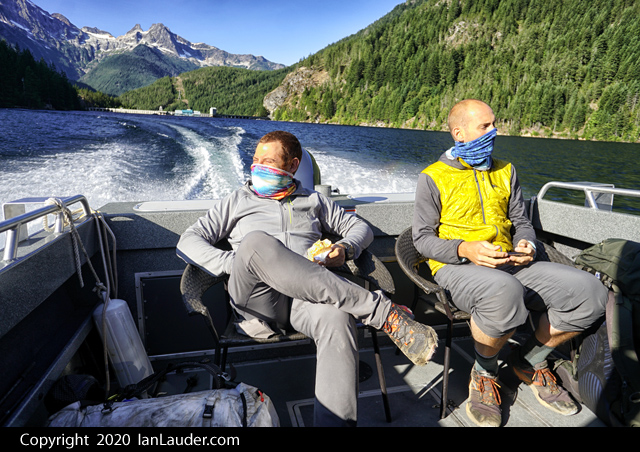
Trip: Chiwawa (8459') & Fortress (8674') Mountain - East Ridge Trip Date: 08/29/2020 Trip Report: Chiwawa (8459') & Fortress (8674') Mountain, East Ridge Trip Report – August 29-31, 2020 I climbed Chiwawa Mountain (8459') & Fortress Mountain (8674'), the East Ridge Route for both, in a big loop. It took me 3 days but can be done in 2 long days. I started at the Trinity Trailhead off Chiwawa River Road North of Lake Wenatchee. I went up Trail 1550 (Chiwawa River Trail) all the way up along the side of Red Mountain to about 6580’ elevation. The trail is in pretty good shape and narrows to a goat trail towards the end. I traversed diagonal and up toward the East Ridge of Chiwawa Mountain. I got onto the East Ridge of Chiwawa Mountain too early, as it look pretty nice from below. The rock was rotten, loose and steep along the ridge until I was about ¾ the way to the summit. I ended up using ledges and goat trails to get onto the better part of the ridge. Travel was slow due to the rock quality. There is a ridge/buttress that drops South from the middle of Chiwawa, you want to go below and around that before heading up to the East Ridge. Doing this will avoid the majority of the rotten rock on the lower part of the ridge. I summited Chiwawa around 5:00pm and setup camp on the summit. There is a campsite on the summit that is nice that has room for two maybe three if you want to get close. It was surprisingly cold and was fairly windy. I was glad I brought extra insulation. I had a water bottle next to me that was half frozen by the morning. If there was precipitation, it would have snowed. I started out for Fortress Mountain from summit camp at 8:00am. There is a really nice camp at the Col between Chiwawa and Fortess at about 7200’. It has plenty of room for tents and good access to water. I would have camped here instead of the summit of Chiwawa if I had known it was there. Although the Chiwawa summit camp was nice & had a great views, just no water. I used Crampons and an Ice Axe crossing over to the East Ridge of Fortress on firm snow. I climbed a gully of loose rock, class 3 some 4 to get onto the East Ridge of Fortress. Once on the ridge the rock was decent. The 4th class step to get to the summit is exposed, so make sure your holds are good. I summited Fortress around 12:30. Fortress Mountain has one of the best views of Glacier Peak that you can get, enjoy. I headed down to Pass No Pass from the summit. I initially headed down the northwest rocky ridge thinking it was the correct way down, it is not, the rock turns to loose steep garbage. I corrected my course and headed down the ridge that leads toward the beautiful grassy meadow plateau (another great camping option) heading north toward Glacier Peak. I kept heading down the ridge until I reached Pass No Pass which is also a fantastic camping area. I headed down light trail to the main Buck Creek Trail #1513 and followed this trail all the way back to the trailhead. Overall the loop trip was very nice. The rock on these two mountains is loose for the most part so be ready to slip and slide. The views are fantastic. Fall is in the air so be ready for cold temperatures. Some Tips and Notes: 1. Chiwawa’s East Ridge is mostly steep loose rock. Connect to the East Ridge after you round the South buttress/ridge to avoid most of it. 2. The trail from Pass No Pass to Buck Creek Trail splits into several different trails along the way. You will have to do a bit of head scratching. As long as you are heading down you should run into the Buck Creek Trail. 3. Along the route there are good camp spots at: The summit of Chiwawa (no water), The 7200’ Col between Chiwawa & Fortress (good water source), The grassy/sandy meadow plateau below Fortress 7100’ (some water), Pass No Pass area (good water source), several campsites along Buck Creek Trail. 4. Buck Creek Trail is long and boring so bring comfortable shoes. Travel Time for reference: Day 1 (TH to Chiwawa Summit), 9 hours – Day 2 (Summit of Chiwawa to camp off Buck Creek trail), 10 hours – Day 3 (camp to TH), 2.5 hours. Gear used: Trekking Poles, Helmet, Ice Axe, Crampons Chiwawa Mountain (right) & Fortress Mountain (left) from west side of Red Mountain on Chiwawa River Trail. Upper Chiwawa River Trail on side of Red Mountain 6500' elevation. Chiwawa Mountain East Ridge on Traverse from side of Red Mountain. Sample of lower East Ridge rock on Chiwawa Mountain. Chiwawa Mountain Summit Camp (8459'). Snow crossing from 7200' Col to Fortress Mountain East Ridge. Fortress Mountain East Ridge. Fortress Mountain Summit (8674'). Pass No Pass & Helmet Butte. Gear Notes: Trekking Poles, Helmet, Ice Axe, Crampons Approach Notes: Trinity Trailhead. Chiwawa River Trail 1550 up the side of Red Mountain. Buck Creek Trail 1513 return to TH.1 point
-
Trip: Eldorado Peak - North Ridge Trip Date: 09/07/2020 Trip Report: Climbed one of the lesser trafficked routed on Eldorado Peak with Will Gordon. Very nice climbing and managed to get in and out before the smoke For those who care: gethighonaltitude.com/2020/09/07/eldorado-north-ridge/ Gear Notes: Standard alpine rack Approach Notes: Camped at 7400' camp1 point
-
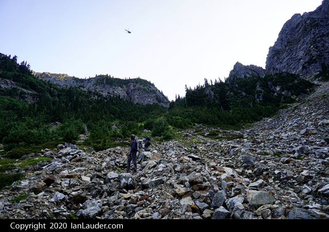
Trip: Luna Peak - Standard Route - True Summit Trip Date: 09/05/2020 Trip Report: With it being Labor Day weekend, we sent someone ahead the night before to get a ticket at the ranger station for the next morning since we had a 9am boat taxi scheduled on Friday. Luckily, we got our permit within a half hour or so of them opening and got to the boat pickup on time. YouTube Video With pleasant weather we made quick work of the first 10 miles to the Luna Camp signpost. Sitting around taking a lunch break a solo guy came by on his way to do Fury. A couple people in our party had thought the Luna signpost was for a trail split to where you head off to Luna and told the guy he was taking the wrong path. He seemed to have that response that sounds like he knew where he was going and was wondering if we knew where we were going. A couple people had gps tracks though that did show someone went to Luna from the Luna Camp split. Never caught up to him to say sorry about that. We did eventually spot him just topping out on Fury as we were on top of Luna the next day. One mile later we got to the cairn that marked the spot to head up to Luna Peak. There really isn’t any kind of trail to follow so unless you know just where to find the log crossings it could get really tricky getting through the first mile. The boat driver mentioned he had dropped of a couple the day before who had gotten lost the week before trying to get to Luna who were trying it again. But we never ran across a couple ahead of us all the way to Luna so not sure where they went. We all wondered if there was a couple still lost in the brush somewhere on their 2nd try. We found the log crossing we were aiming for without any problem and found climbers trail on and off the rest of the way into the basin. We found a lot more of the trail on the way out but still managed to do a fair amount of bushwhacking both ways. Took us about 7.5 hours to do the 15 miles into Access Creek basin where we setup camp. Figured shooting for Luna Col would have had us there in the dark so Access Creek was a good spot to stop with views of Luna and the boulder field we needed to go up in the morning. Next morning, we took off up the narrow rocky gully, but going wider right and up and then across through the trees works too (probably a bit easier too). Knocked out the first 2000ft gain then rounded the corner for the first view of the col and Luna. Another easy 1000ft up to the col put us at the base of Luna Peak in just a few hours. Just a bit up the scramble to the false summit we past a pair of climbers coming back who had stopped at the false summit. Another hour (about 4 hours from camp) put us at the false summit where the fun really starts. Beta we had said you could run the entire ridge (harder) or take ledges across but requires a bit of a 4th class downclimb. After shimmying down most of the chimney the last move or two just felt too sketchy with the drop-off into nothing below and it feels like there were not solid holds for the amount of exposure. So, we split the difference and ran the first 30 feet of the ridge which is exposed but felt more solid and that took us to a ramp down to the ledges. Once there it was easy scrambling across picking our way across then switch backing at the end to get under the summit block. Once under the summit block, we wrapped around the backside and found a few easy moves up to the summit block. Just as most of our party were down to the ledges a group of three guys came up behind us who were pretty chill about hanging out waiting for us to get over and back since they were camped at the col and it was only about 11:30am. The summit register was full, and we wound up signing the back cover. If anyone goes up anytime soon it could use a new register. On the way down from the summit instead of heading straight over I had gone down a couple ledges and wound up finding an old rusty metal film canister. I thought there might be a film roll inside but instead there were a few loose pages of an old summit register. Most of the pages were faded too much to read or disintegrated but some were clearly dated from 1971, 77 and 78 which was a cool find. I brought the canister back out since it had been sitting there for so many decades. Not sure how long It had been dropped down on the ledges. I found a trip report from CascadeOriginals where someone had mentioned signing a register in a film canister back in 2003. Mailing it over to the Mountaineers to archive it. On the way back everyone else retraced their steps to go back up to the ridge then to the false summit. I went up the chimney which was a little awkward but went up fine. The party of 3 waiting for us then took off for the true summit while we took a lunch break before heading back. On the way back to the rocky gully above the basin we passed a couple trail runners who mentioned a pair in the gulley that had an accident and appeared on of them broke an ankle. On our way down we stopped by and chatted for a moment. It turned out to be the pair we had passed and chatted with a moment on the scramble up to the false summit in the morning. They had everything handled and were waiting for a heli rescue that was on the way and didn’t need anything. Props to them for getting hundreds of feet down the upper gulley to a flat area and props to SAR for pulling them out hours later. Next morning had a leisurely hike out and found more of the climbers trail going out than we found on the way in. Still got off track a few times and took a bit of navigating to find the log crossing. Fantastic trip overall with good weather and good company. Gear Notes: None Approach Notes: Bushwacky from the trail to Access Creek basin in places.1 point


