Leaderboard
Popular Content
Showing content with the highest reputation on 08/01/19 in all areas
-
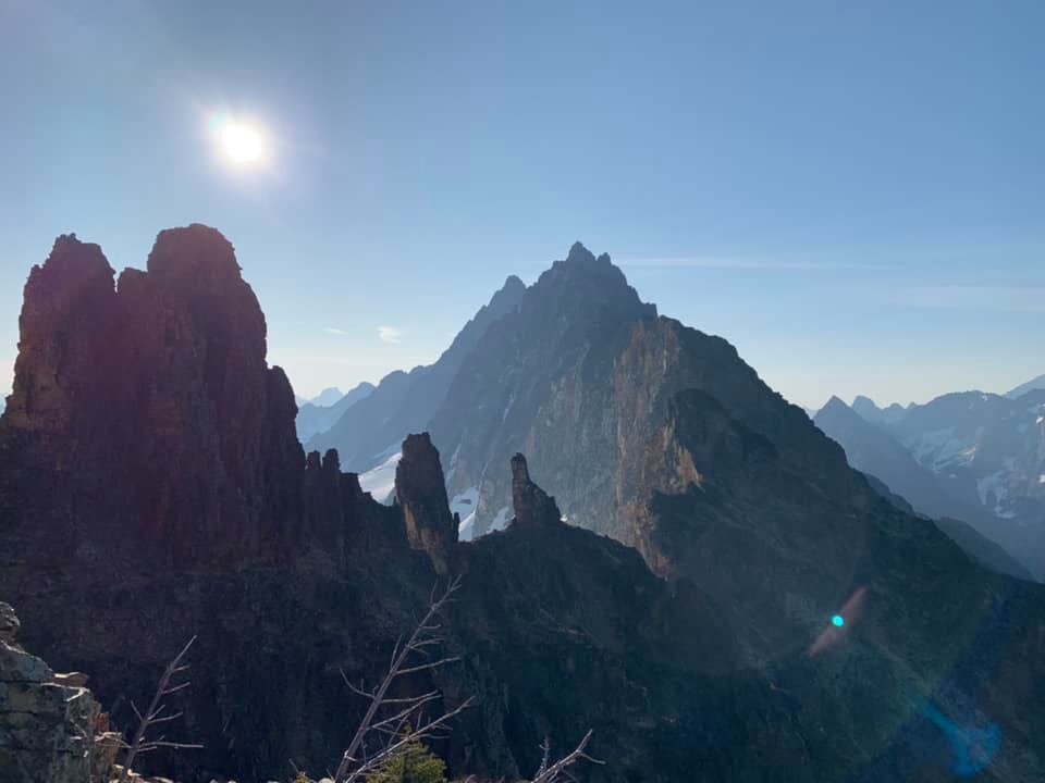
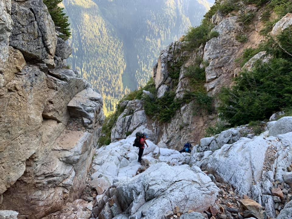
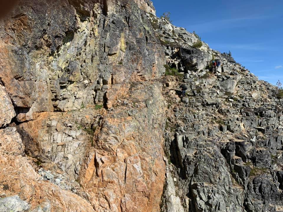
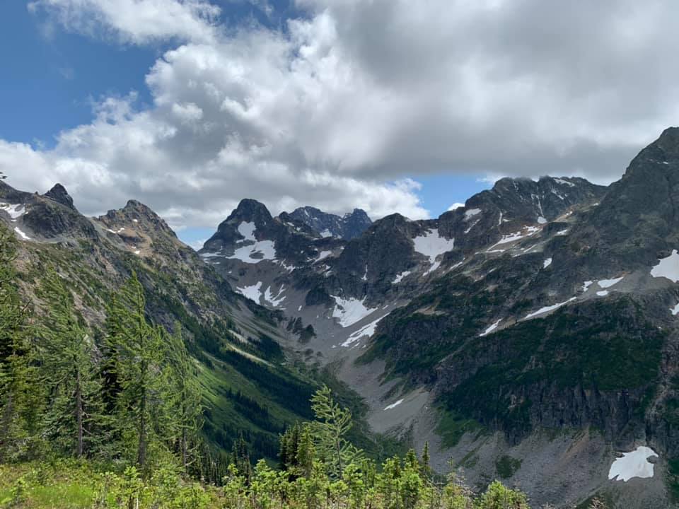
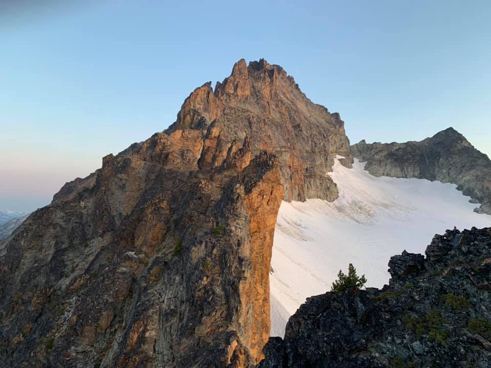
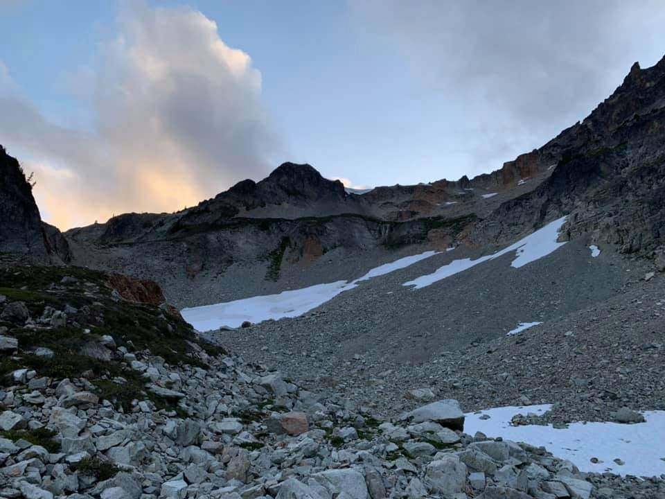
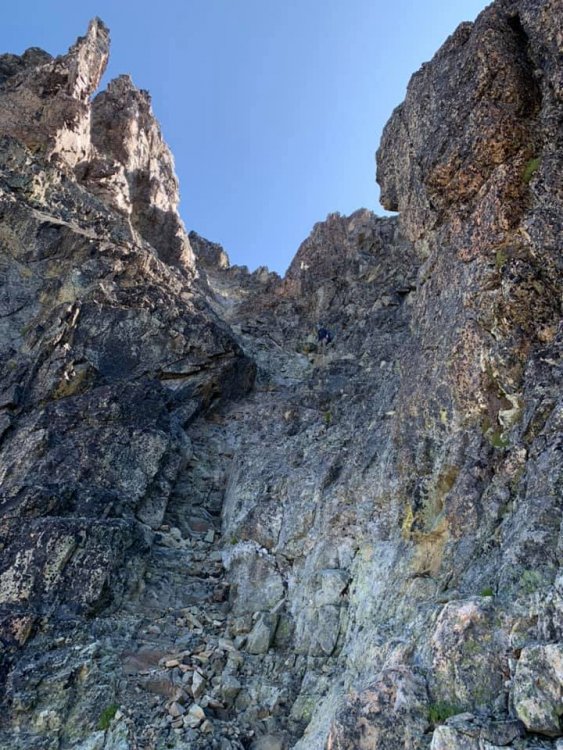
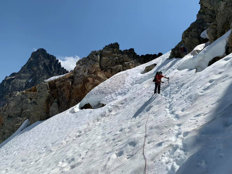
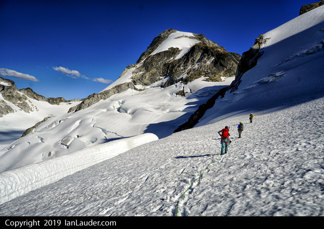
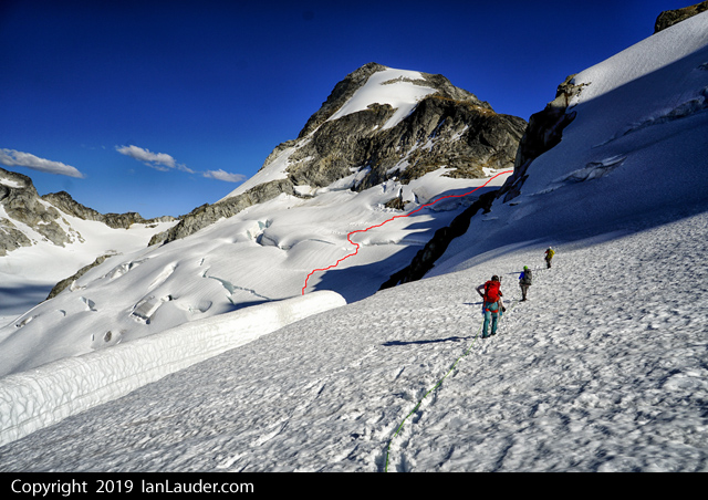
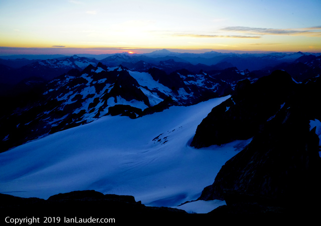
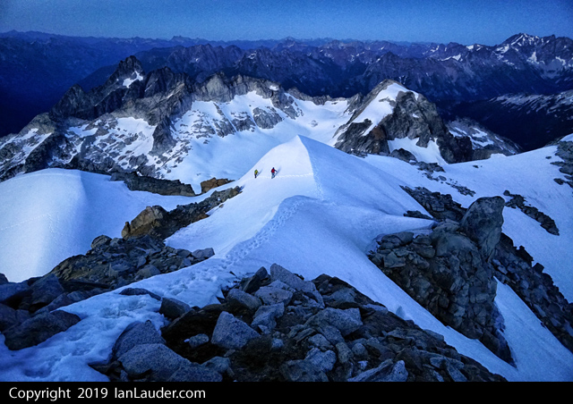
Trip: Ragged Ridge - Mesahchie, Katsuk, Kimtah, Cosho - Standards Trip Date: 07/27/2019 Trip Report: It seems that this year every one of my trip plans has gone south for one reason or another and this was no exception. Initially hoping to get Challenger a weather blip got worse and worse as the week prior to the climb progressed. Not wishing to fuck around in a white out on Eiley-Wiley ridge and uncertain about Bergschrund conditions in this weird snow/snowmelt summer, we converted our four-day Pickets adventure into a three day Ragged Ridge consolation prize. Saturday still had a weather blip when we settled on the Chinook Slam and sure enough there was some rain and overcast skies as we drove to Marblemount and then Easy Pass TH early Saturday morning. The ranger station was the typical clusterfuck even at 8:30 am when we arrived and took a number. With permit secured we continued to the TH where it briefly dumped rain on us. With the next sucker window we headed up. As forecast the weather got better and better as we hiked in. Two parties of two with lighter packs and footwear passed us and we were concerned about choss bottlenecks and limited camping options. We made quick work of the hike to Easy Pass, then traversed around 6700' to the basin under Mesahchie and Pt 7430. To our surprise only a single tent was setup there and we threw down bivy sacks away from it on a decently flat spot. Later we spied folks descending from Mesachchie and Katsuk and chatted them up for beta. They were a party of three (so now there are 10 people up there total in four parties) who had arrived a day earlier and planned a 4 day climb with two separate twin-peak-bagging forays rather than a carryover traverse. Views back towards Easy Pass from the traverse towards Mesahchie: The basin we camped in on the first night. Running water right by camp: We set alarms for 4:30 am and got a great night's rest under clear skies. In the morning we broke camp and hauled heavy packs up to 7400' then stashed the overnight gear just above a cornice on the ridge and climbed Mesahchie, then Katsuk. The routes were as espected - loose rock, class 3-4. Great views on both summits. The "crux" section of gully up Mesahchie Peak: We then dropped back to our packs and began traversing the multitude of ribs and gullies on our way towards (we hoped) the E side of Thieves Peak, with a third summit on the way (Kimtah). Alas, this was not to be. About an hour along the traverse we ran into one of the parties of two we had seen a day earlier who were headed back home and reported they were "chasmed out". We soon got to said "chasm" and struggled to commit to the crossing ourselves. Basically there is an exposed 30' traverse with one horrible step on loose eroding dirt and no handholds. After scoping it out with no full packs for a long time and vacillating on what to do, I finally got out my small rack and we build a fixed line. All in all that cost us about 2 hours. It's funny how mental fatigue (this was 8 or more hours into the day already with a lot of exposed scrambling and traversing) can affect decision-making. The "chasm" crossing" Once past this crux we crossed one chossy rib and gully after another and wondered when the hell we'd ever see the Grotesque Gendarmes. At this point we ran into the party of three from camp returning from their summits of Kimtah and Cosho. They told us we had a ways to go and might consider bivying. They were right. We ended up arriving at the final gully before said gendarmes at 7:30 and set up a gorgeous bivy with spectacular views. Also, we had time to eat and get enough sleep to start early again. Our awesome bivy site: Alarms went off at 4:30 on the third day and we again broke camp and headed out. Despite all our beta and some cairns we still took some time to get through the gendarmes and find the upper red ledge. It took longer than we would have liked - that is for sure. We then crossed another seemingly endless series of ribs and gullies until we were finally directly below Kimtah. We dropped packs completely and headed up this short (800') scramble. We were surprised about how blocky this was and it took more than we would have liked but there was nothing super challenging about route-finding - just sniff your way up. From GPS tracks we had studied we knew most people would go up one gully and head down another. We saw why - pretty obvious from above how to go on easier terrain down. View from camp of the Grotesque Gendarmes and Kimtah: View back to the Grotesque Gendarmes and Katsuk: Ascending Kimtah: Once back at the packs we continue on another series of gullies and ribs (does this shite every fucking end?) to the final gully below the E side of Thieves Peak. We lost whatever bootpath we were following and ended up sniffing out a route to the col. From chatting with the team of three we knew the glacier was easily accessible. We roped up (30 m rope) and crossed to the col on the other side of Thieves peak, then dropped backs and scrambled up Cosho. there was a nice snow field giving access to a gully on Cosho making for easy travel. Accessing the glacier from the col E of Thieves Peak: Kimtah from Cosho: View W of Cosho summit: After five minutes on the summit of Cosho we headed back to our packs. We had a nice food and water break, then noted the time: 3:30pm. We were in for a long hike out. The gully below Cosho is honestly the worst place I have ever been. I'd rather be castrated with a dull butterknife than be there again. We methodically descended bullet proof dirt covered in loose rocks, polished slabs covered in loose rocks, waterfalls (some over and some around). We repeatedly fell on our asses and dealt with exposed face-in downclimbing or dirt/veggie bypasses with bad runout. Nearing dusk we finally got to the bottom and schwacked down a dry stream bed towards Fisher Creek. Finally at 9 we found the bridge crossing. After watering up we headed out - the wrong way. After 5 minutes, we realized our error and went the other way. Then we got confused because the trail on both sides of the bridge headed W and we wanted E. Finally after consultation of a map we determined the trail on the N side of the bridge is correct and must just start W and then turn N and E. That proved correct. One of many waterfalls that could be face-in downclimbed: View up the central gully to Cosho: We covered 6 miles in 3 hours arriving at the switchbacks up. Then we took 4 more to ascend to Easy Pass and down to the cars. Time? 4:30 am. A 24 hour day. Why do I do this shit? I dunno, but it did not prevent me from making it to a Slipknot concert that night and drinking copious amounts of beer. Gear Notes: Ice Axe, Crampons, 30m rope, Minimal rack Approach Notes: Very few bugs3 points
-
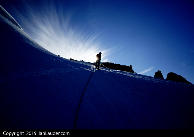
Trip: SE Mox, NW Mox, Mount Redoubt - West Ridge, SE Face, South Route Trip Date: 07/25/2019 Trip Report: @Albuquerque Fred and I were at it again, this time up in the Depot Creek drainage over July 25-28. Fred had gone up a month prior to scout the approach and tick off the requisite easy Bulger peaks. Now we were back to get the ones he needed my help on. We hiked in on Thursday none too early after Fred graciously picked up the permit in Sedro Woolley. If you follow Steph's approach beta you will do fine. The trail was decent, we lost it a couple of times, but only once for more than a minute. There was brush... and deadfall, and mud and swamps and bugs and waterfalls and fixed ropes and bear crap and loose moraines and stream crossings. No problem. It took us 7 hours to 7200' camp at Redoubt saddle. If you are used to climbing in the Cascades it's a little worse than the average for a trail, but better than off-trail. Fred and the falls: Me somewhere along the trail photo by Fred: Redoubt N Face, photo by Fred: Me below the glacier on the direct route to 7200' camp, photo by Fred: Camp below Redoubt: Friday we climbed both Mox Spires beginning with SE (or "Hard") Mox. This turned out to be much easier than "Easy" Mox. The route finding was my biggest concern going in as it sounded complicated, but Beckey was dead on. Follow his beta, we never went wrong. Ignore Klenke and his heavy-handedness, the best beta has been available in print for decades. It was a great climb; if you like loose gullies and lots of route finding on moderate ground to a very moderate rock climb, with more loose rock, as I do, then this is for you. We did 6 hours Col Of The Wild to the summit and back to the col, exactly as Beckey states, with about 30-45 min on the summit. Fred on the approach: Col Of The Wild, photo by Fred: Me downclimbing the "major snow gully" photo by Fred: Fred's silhouette on route: Pickets: My favorite part, cleaning up old rap tat, photo by Fred. Please do your part too; if is not good enough to rap on, its trash. LNT!: Next NW Mox, southeast face route from Col Of The Wild. We followed Matt Lemke's beta here from his NW Hikers report: http://www.nwhikers.net/forums/viewtopic.php?t=8028072 It was scary. The gully you climb is loose with lots of large detached blocks to pull on in the class 5 stretch. I lead the first pitch and I was scared; easy climbing, but no decent pro since everything is loose and/or detached. This was probably the most dangerous climbing I have ever done. Either we missed something or Matt was being ironic with his summit register comment of the route being 5 stars. Any comments would be appreciated. The scramble was easy though and we made about 4 hours round trip. The rappelling was actually pretty safe and easy. It was great to get both Mox peaks in one day and in reasonable time as well. If there is a better way up the SE Face of NW Mox it would be a spectacular paring. We did 13.5 hours camp to camp this day with good breaks on both summits and a long break in the basin in the afternoon. Loose death gully, photo by Fred: Victory pose, photo by Fred: We slept in until around 9 the next morning due to rain, this was expected. All we had left to do all day was Redoubt. We did a bit of a route variation and instead of trending left from the first snowfield into the second snowfield and the talus we continued from the first snowfield straight up a narrowing snow couloir to within 300' of the summit. Then we scrambled left in a rusty chossy gully to regain the standard route at a minor notch in a small buttress. The scrambling was easy with one tough move at the "cannon hole". We mostly followed Steph Abegg's beta here, limited but sufficient. The views were non-existent on top so we descended fairly quickly, going down the more standard route. View up-route from the basin on the south of Redoubt: Fred in the couloir we climbed: Me approaching the summit, photo by Fred: Best photo I had of our couloir from the standard route on descent: We ascended the right line and descended the standard route on the left: Drying out camp that afternoon: We did about 5 hours camp to camp on Redoubt moving fairly mellow with some route-finding in the fog. In the afternoon we went for a stroll on the glacier ice next to camp, it was way cool to just stroll and look around: We slept a lot again and hiked out the next morning, 6 hours to the car. Fred on the Redoubt Glacier on descent: In the falls: More falls, photo by Fred: Gear Notes: 60m rope medium rack (small would be better) crampons axe rock shoes (would skip if there is a next time) Approach Notes: Long and arduous, as advertised.2 points
-
Trip: Snoqualmie Pass - Commonwealth Ultimate Ridge Linkup (CURL) Trip Date: 07/28/2019 Trip Report: Anthony and I did a fun enchainment of Guy Peak (south side), Snoqualmie, Lundin, Red, Katwalk Peak (north of the Katwalk), and Kendall. There was some exceptional scrambling, hours of exposed "Beckey 4th class". We tried to stay on the ridge proper as much as possible except for when it was simply too sketchy in trail runners or it was too vegetated. Here's some beta: - Guye Peak: approached from underneath the west face, we climbed a rib to the left of the South Gully, this offered some amazingly steep, hero juggy scrambling. - Snoqualmie to Lundin: There is an incredible knife edge just after Snoqualmie. West ridge of Lundin is cruiser, bypassed the impassable gaps on the left with some low 5th. - Lundin to Red: There is an optional gendarme (which we took) partway down the ridge which was probably the crux of the entire route for us. We left the Red Pass trail and the talus field and climbed a gully system to the summit. - Red to Katwalk Peak: The descent off Red was nowhere near as bad as people describe. Partway along the ridge, we ran into "The Cleft", a vertical impasse that splits the ridge. We had to descend a few hundred feet before finding a fourth class weakness through it, then climb back up to regain the ridge. - Katwalk Peak to Kendall Peak: mostly vegetated at first, but with some fun knife-edge right before the Katwalk. Kendall North Ridge is cruiser. It totaled 12 miles, 6.5k ft gain, and took us 8:23. Apparently it has been done in four hours . https://climberkyle.com/2019/07/28/commonwealth-ultimate-ridge-linkup-the-curl/ Scrambling steep terrain up the south face of Guye. More fun higher on Guye. Full view of the CURL. The middle summit of Guye. Awesome knife edge after Snoqualmie. West Ridge Lundin. Red mountain and the ridge. Crux gendarme. Some loose scrambling on Red. Fun slabs on the downclimb of Red. The 4th class weakness through the Cleft. \ Above the Kendall Katwalk. Red mountain with the Cleft visible on the right. Nearing summit of Kendall Peak. Gear Notes: Helmet, running vests, approach shoes. Approach Notes: Start up the neighborhoods beneath the west face of Guye, climb talus to the base, then curve right to the south face.1 point
-
1 point
-
1 point
-
Yes you are. Cardboard or the standard Grivel guards will be more than sufficient. I typically pack the axe first on the bottom of the duffel with my ski poles and pickets and whatever else that is long and metal. All that crap made it to NZ and back without damage in the belly of the beast. The key is having a robust duffel. I recommend these: https://www.mec.ca/en/product/5044-007/Duffle-Bag1 point
-
https://grivel.com/products/axe-guard https://www.rei.com/product/782958/black-diamond-spike-protector Or, duct tape some cardboard around it!1 point
-
Actually BD did some testing on this a long while back. Most old faded slings failed between 5-16kN. If you have enough crappy tat (~5 relatively intact pieces), you don't need to add anything new. And, if you leave the old while putting a new sling at the station, future parties might not have to add anything when they come upon your bleached tat (it gets crusty faster than you think). Reduce, reuse, recycle, and all that. It is somewhat laughable that the cry of LNT echos from a rap station with shiny new webbing. Maybe you meant Leave a Tidy Trace?1 point
-
Nice! You sure do get out; I'm jealous. Looks like a stellar day. Weekend before last I did a multipitch route with three people, one rope, and two harnesses between us, so don't feel alone in forgetting some equipment and making do anyway.1 point
-
1 point
-
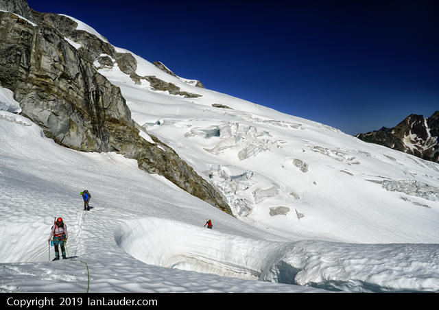
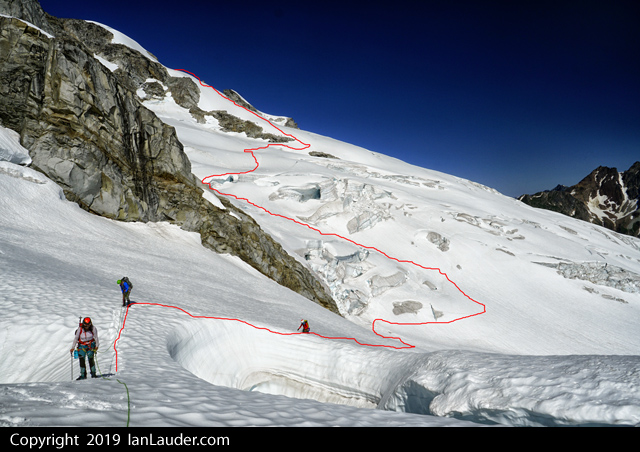
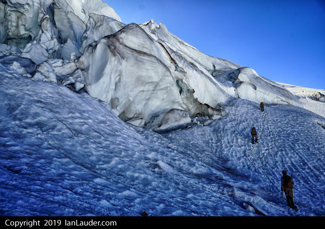
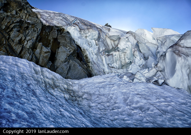
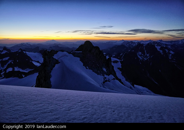
Trip: Sinister Peak / Dome Peak - West Ridge Trip Date: 07/21/2019 Trip Report: 3ish day trip to climb Sinister and Dome. Hiked in the first 6 miles on Fri night to 6 Mile Shelter. Saturday hiked the 8 miles in just over 7 hours to Iswoot Ridge (thick wet bushwacking for a mile, hornets and a bit of off-route travel here and there). 21 hour day on Sunday. The route to Sinister is just about out and we weren't even sure it the glacier would be passable. So we considered it a bonus if we could get there. Had to do a much longer downclimb and side traverse around the bergschrund and over another lower crevasse just to get started from the Dome saddle. There were faint previous tracks that went down a shorter downclimb and over a snow bridge that has now collapsed (you can see that 2 pictures down). Only had to backtrack from one path that was a dead end, then the final crevasse leading to Sinister had one small snowbridge left we could cross. Other than that the navigation was pretty straight forward even if it did involve some weaving around a number of large crevasses. Burned most of our time getting there and only had an hour before our turn around time to climb. We figured if we could do a quick run up we could make it in time to get back for Dome. After re-reading the route beta we had printed out that it was some 3rd class with a + move and then to easy 2nd class and no mention of gear or ropes we went up without rope and gear, which in hindsight wasn't a good idea. Turned out the people who had written that trip report had pitched it out and rappelled and one thought it was 4th class. Found that out after we got back. With approach shoes I thought the climbing wasn't bad, just 4th class exposure in a couple places. But everyone else had heavy boots which made those moves more thought provoking. The first 3rd+ moves after getting up the gully turned back half our group and the other 2 of us up higher had to descend a 2nd parallel gully that had a 4th class move to get down into. Plus I had to poach rappel slings off a couple rap anchors to use as makeshift handlines to lower down a couple moves on longer slab to get people down a move on each of the gullies. So if anyone sees a couple free hanging pieces of webbing, that was us... The gully that is snow filled that could be scrambled down early season was melted out to the point it cliffed out about 15 feet above a moat. So, we burned another couple hours getting a rope up to rappel down. The other half of our party walked back around to where we dropped the gear and was able to lead up about 20 feet next to the gully and tossed the rope over to us and we rapped back down. After doing some exploring where the right gully cliffed out and scrambling up climbers left and out of it and moving left about 10 feet its possible to get out of it without a rope, but would involve about 10 feet of kitty litter angled slab with questionable holds. We didn't have to resort to trying that as by then we had the rope to rap down with. In hindsight double checking what we did we were on route but it was confusing and didn’t match up with the beta we had. Plus 2 different gps devices showed us in different places which added to the confusion. Finding 4 rappel stations and 4th class climbing when we were expecting 3rd class made us wonder if we were on a different route. We could have done a better job digging around for more beta on this one. Busted back to Dome as fast as we could and barely had time to summit that just at sunset which was an awesome view. Spent the next 3 hours navigating back to camp in pitch dark. Halfway there 2 rechargable headlamps without spare batteries had died and we were navigating back with cell phones. Late dinner at 1am. Slept in late on Monday and had a more relaxed day with a long hike out with dinner at Taco Bell in Arlington at midnight. Good times. This one throws a lot at you. Might be one of our favorite trips so far - except for that getting cliffed out part. We'll be back but for the North Face next time. We got the best and hardest parts of that route, good enough for the first try on this peak. The concerning part turned out at the end of the trip. Back at the cars the next day ran into a guy who had the next morning summitted Dome right after us who had met a 20 something year old with little glacier experience and wearing tennis shoes with crampons and an ice axe doing the Ptarmigan Traverse who he saw following our boot tracks solo over to Sinister. And he had made it past the first bergschrund. No idea what the rest of his skills are or what he knew about Sinister. Gonna have to keep our eyes open for any reports on if he made it back and how far he got. If anyone hears about a kid soloing Sinister this weekend drop us a note how he faired. Gear Notes: 40m rope, light rack, ice axe, crampons, stuff Approach Notes: Heavy wet brush on the way in, dry and fairly beaten down on the way out.1 point
-
Trip: Forbidden Peak - East Ridge Direct Trip Date: 07/22/2019 Trip Report: Today my friend and I climbed the East Ridge Direct on Forbidden Peak 10.5 hours car to car. Spent last night at the trail head and started hiking very early. We got up into the upper basin around 4ish. I love how quick that trail shoots you out above the tree line. The approach was very manageable in the dark. We got up to the lone gendarme on the ridge and did a quick sorting of gear. We simul'd just about all of the route, taking turns leading out simul blocks. I thought the climbing and rock quality to be really good. Especially the 5.7 and 5.8 gendarme pitches along with the knife edge traverse section. We summited at 8:30 and stopped to take a few photos and rig the first rappel to get down to the east ledges. You see a lot of rap tat below you along the way while you're climbing but don't pay attention to any of those. I highly recommend doing exactly 5 single rope rappels that trend slightly east straight down from the summit. This puts you in easier terrain on the east ledges. I've seen a lot of talk about the ledges being terrifying and stressful. While I agree that they can be loose and manky, and you definitely don't want to fall, they were way more mellow than I was expecting. Just take your time and look for the occasional cairn. The decent back down from the start of the ridge to the car felt like it went really quick. This is a stellar route on a classic mountain and we had perfect weather to boot. Awesome day! Gear Notes: Single set of cams from .3 to 2", set of stoppers, 4 draws, 7 double length slings. Approach Notes: Light axe, aluminum crampons, and trail runners worked perfect.1 point
-
I personally don't find anything at Exit 32/38 particularly inspiring. Leavenworth should be not too much farther for you. Clamshell Cave, The Hand, Bruce's Boulder, Barney's Rubble, Roto Wall are all easily top roped and kid friendly, but I suspect you know all that.1 point
-
After trudging to the base of this route yesterday, I can say that it has some back to nature. sorry0 points


