

bedellympian
-
Posts
534 -
Joined
-
Last visited
-
Days Won
55
Everything posted by bedellympian
-

auction Photo Auction to Benefit CascadeClimbers!
bedellympian replied to JasonG's topic in Climber's Board
Eldorado from Primus... $200 Jason, can you hold on to this for a couple months if I get this? I'm down in Oregon and can't guarantee when I'll get up there. -
Too cold and dry here in Central Oregon. We had some stuff start to form and then it sublimated or fell down. Anyone taken a look at Mt. Index? Seems like potentially favorable conditions to me but I'm no local.
-
That is interesting. Caltopo has a daily satellite imagery... you could try tracking it. I wonder if receding snow/galciers have exacerbated the yearly shrinkage. It is weird they call it glacial fed given your pictures and google map though. I would assume a glacial fed lake would have the characteristic suspended sediment. I also wonder if a geologic shift has opened up more water flow to escape beneath the ground. Any earthquakes since that google imagery?
-
Climate change sucks.
-
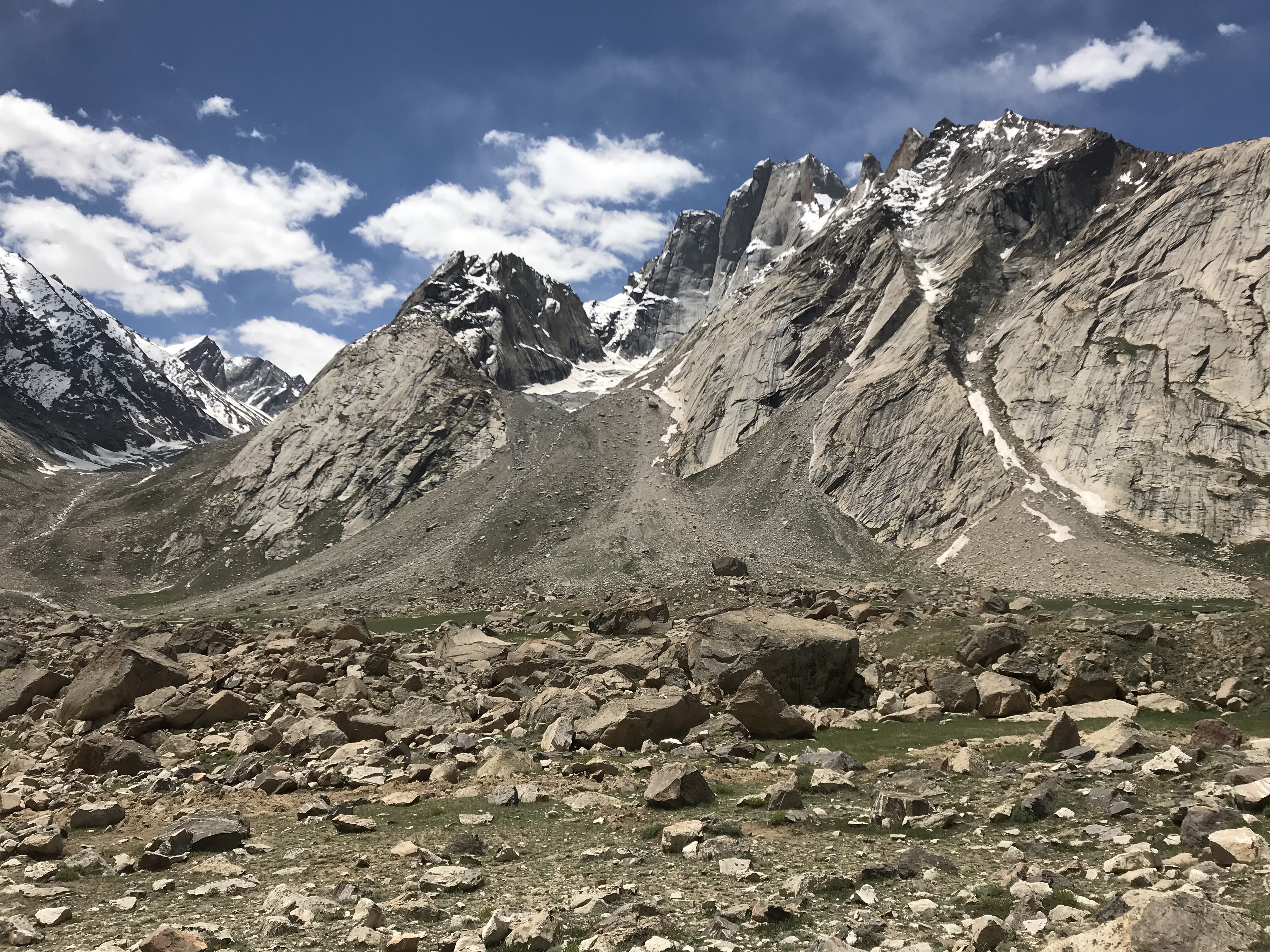
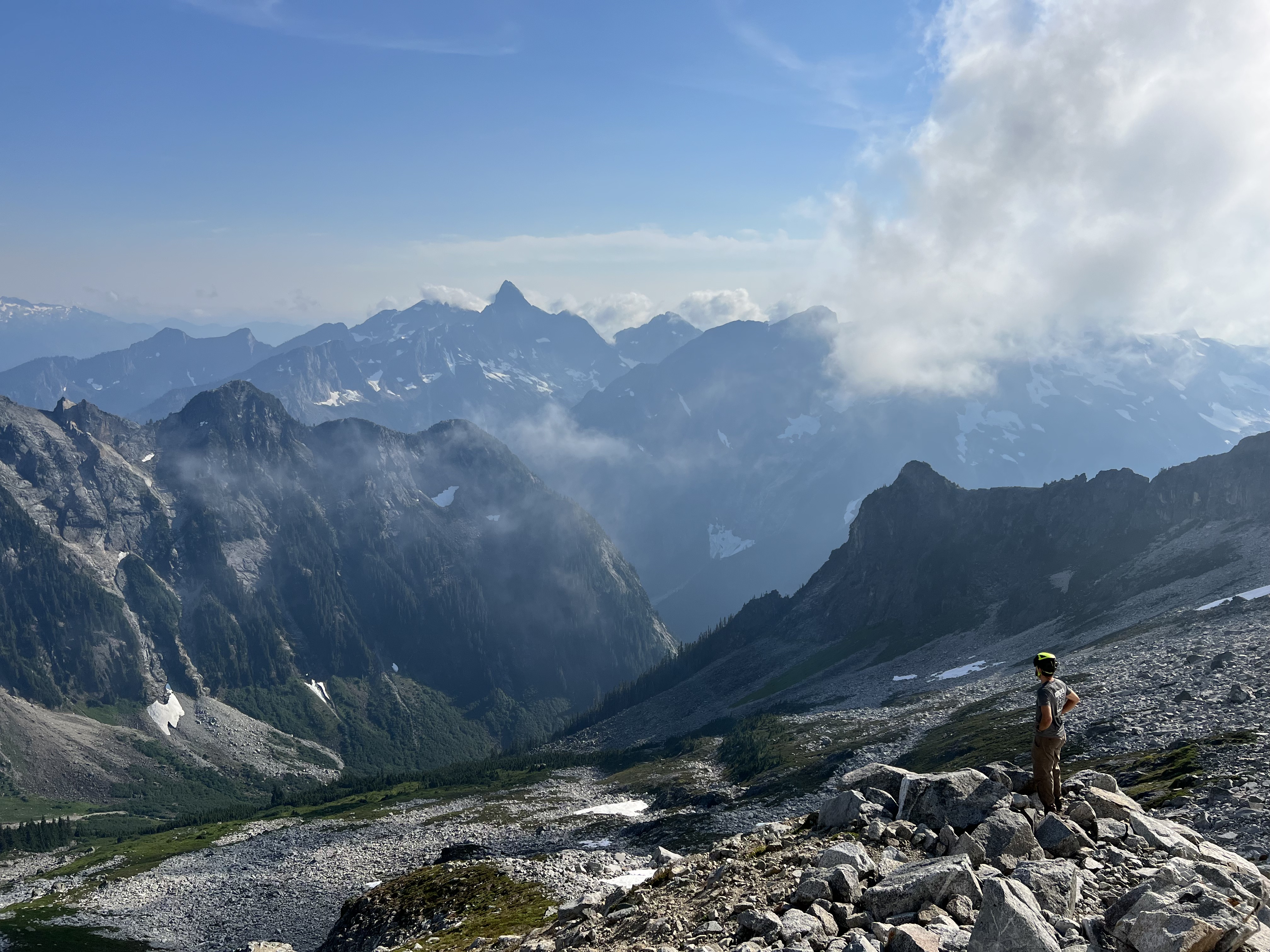
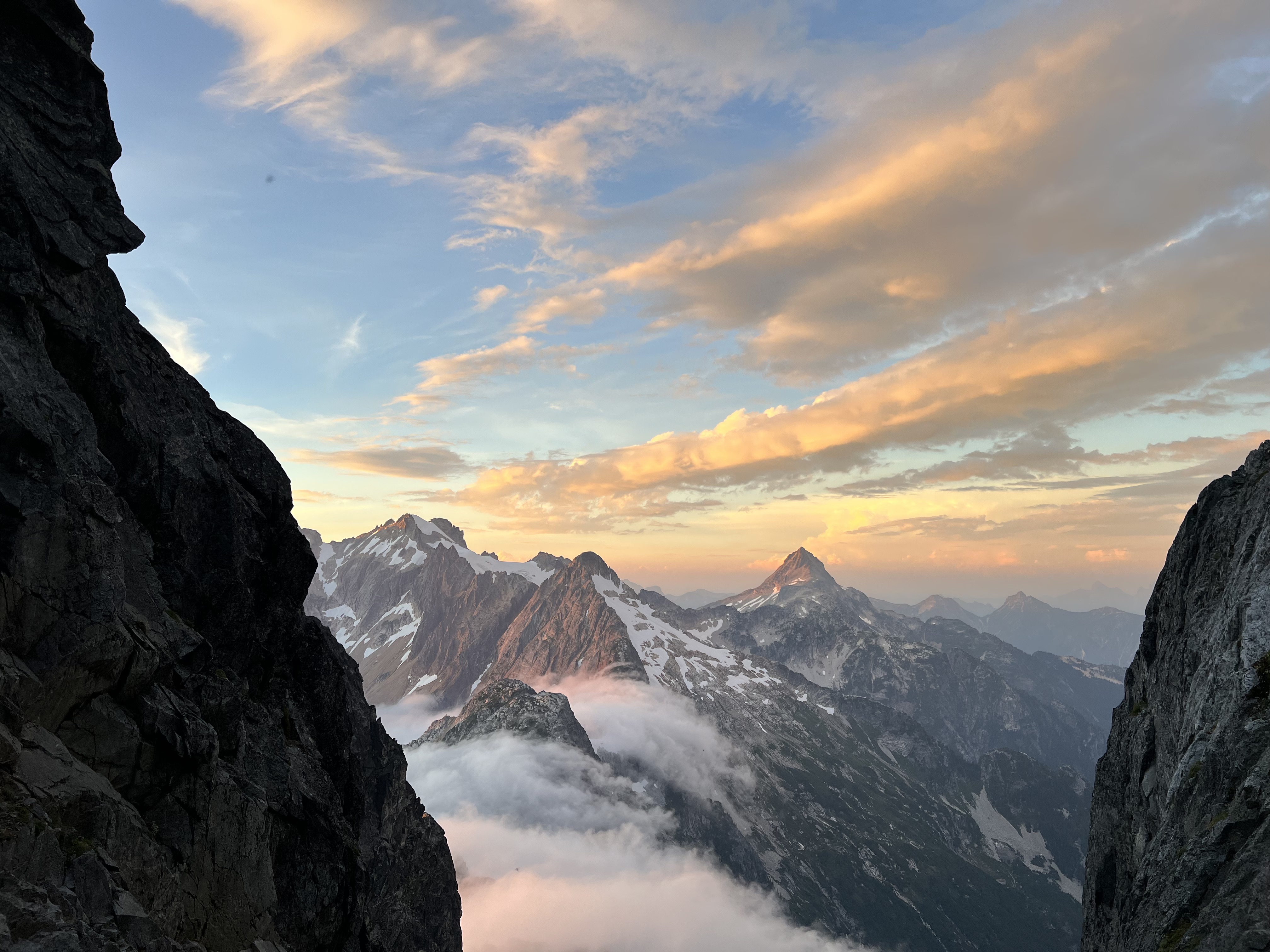
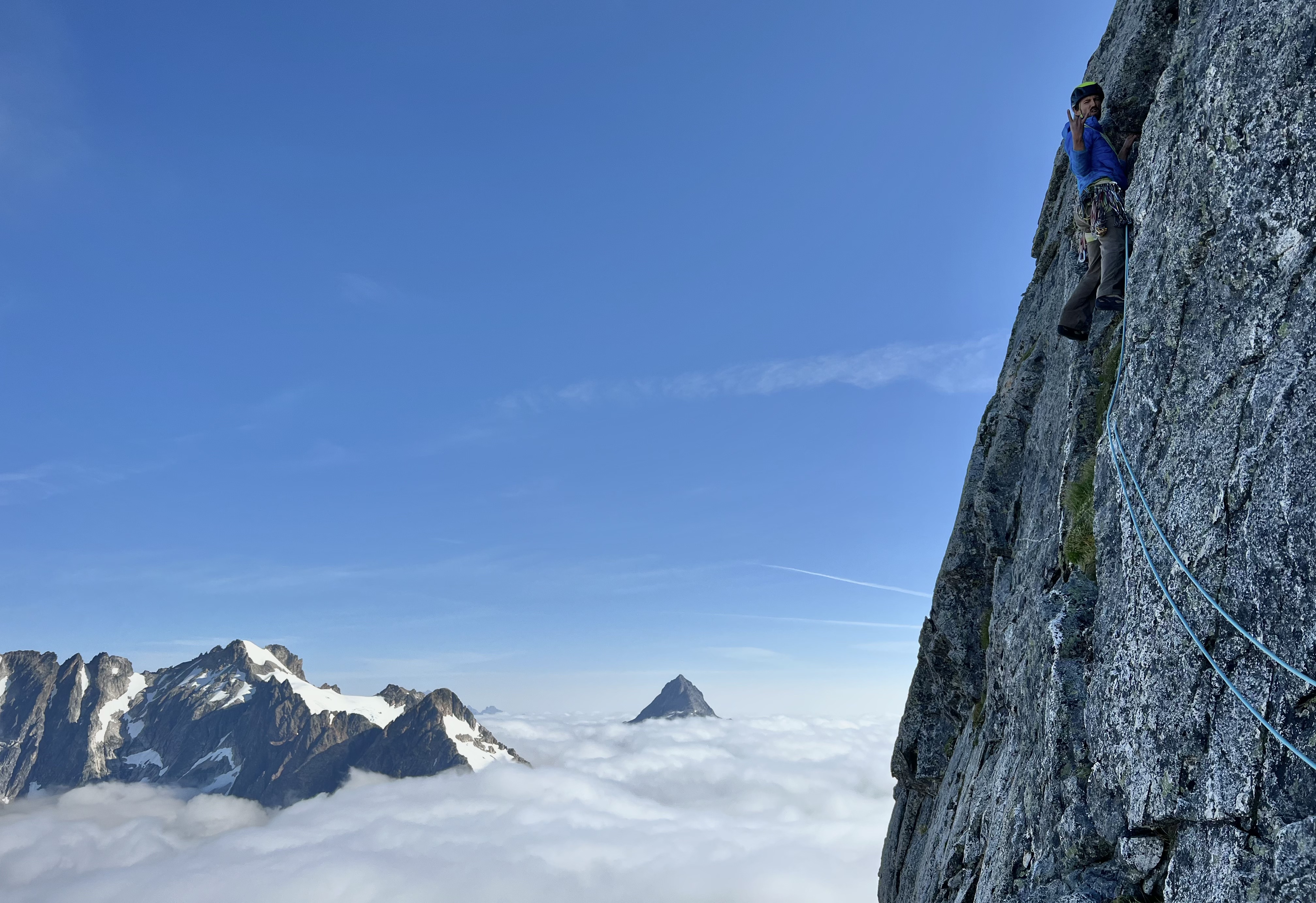
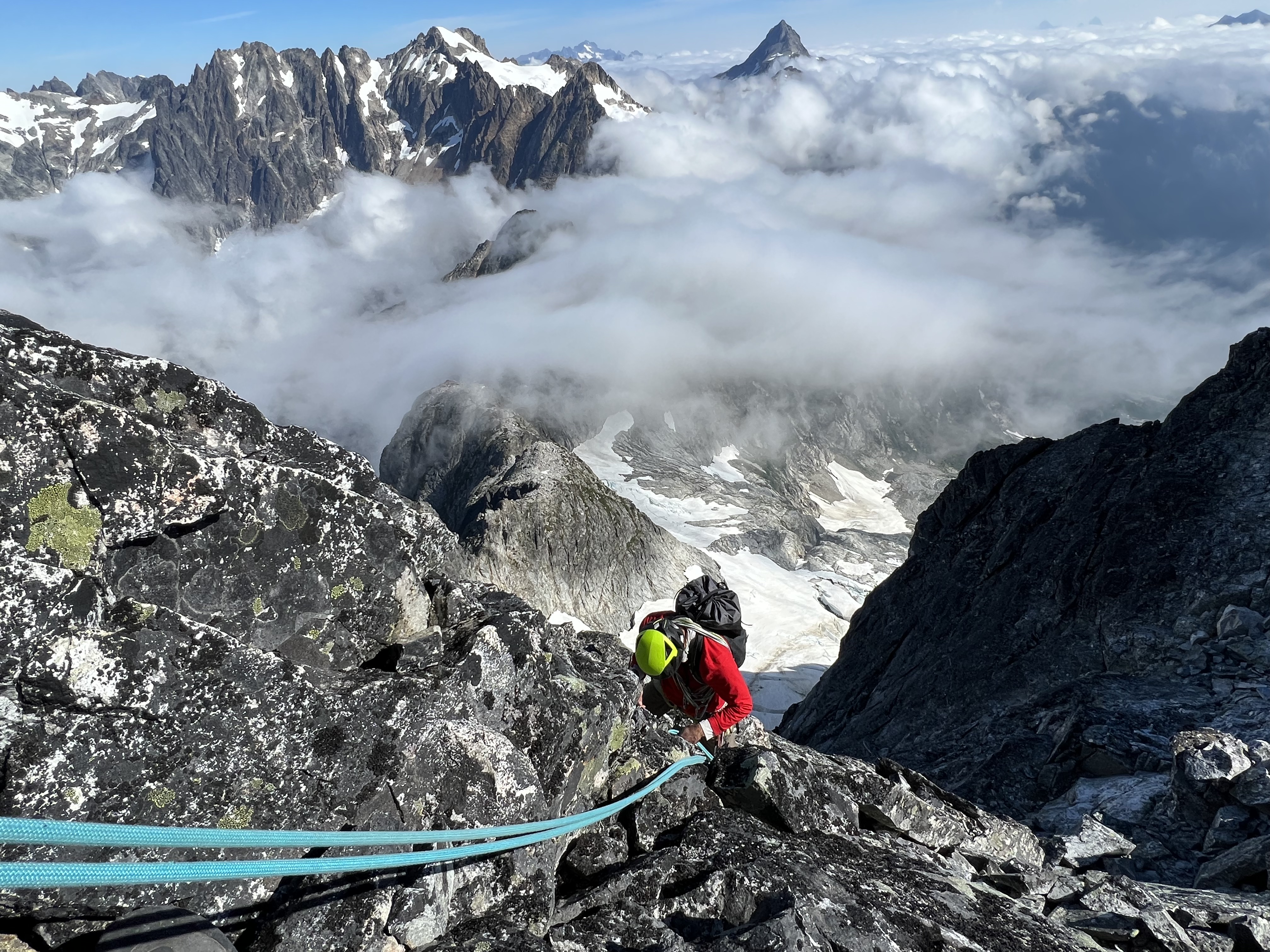
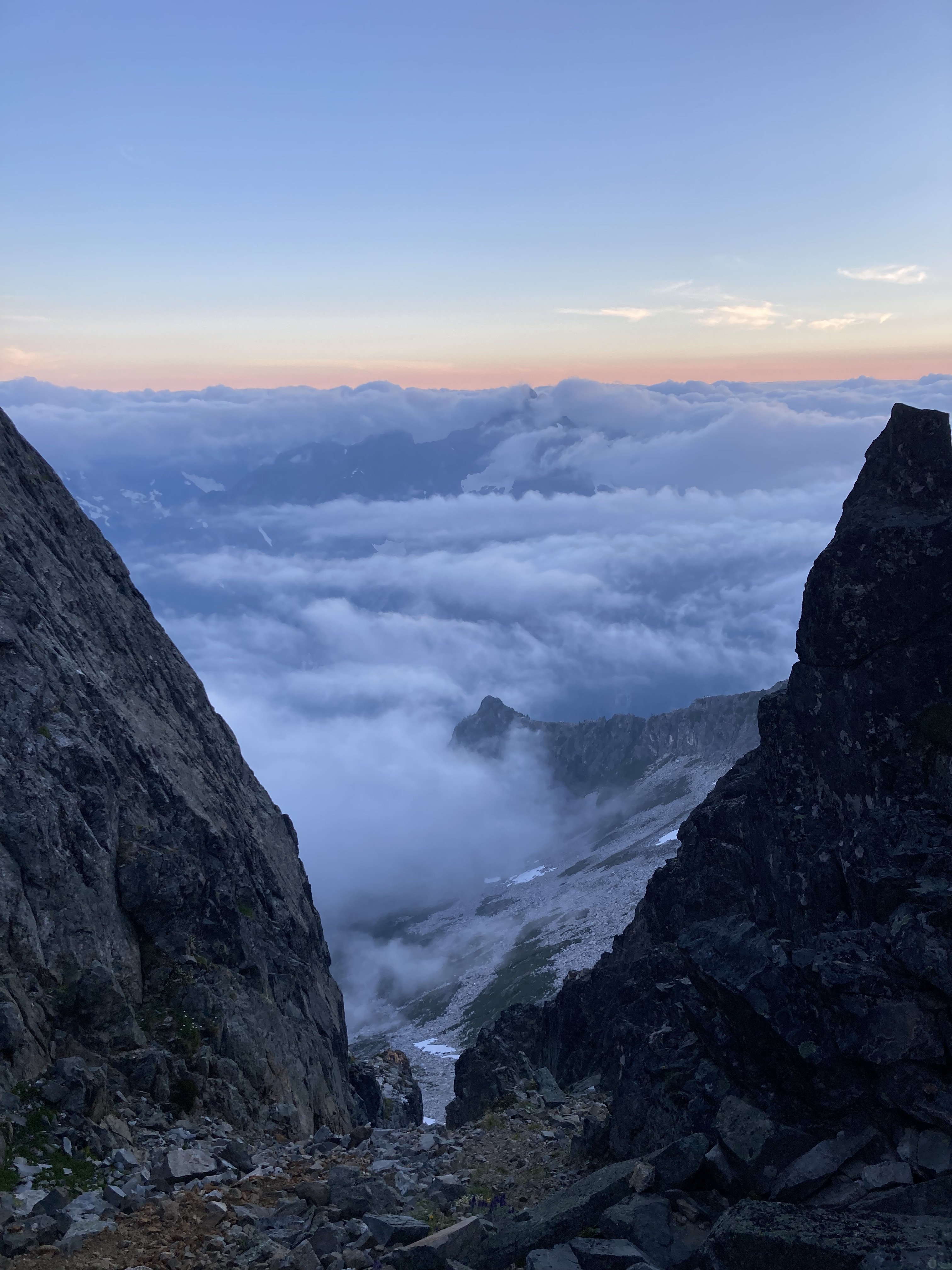
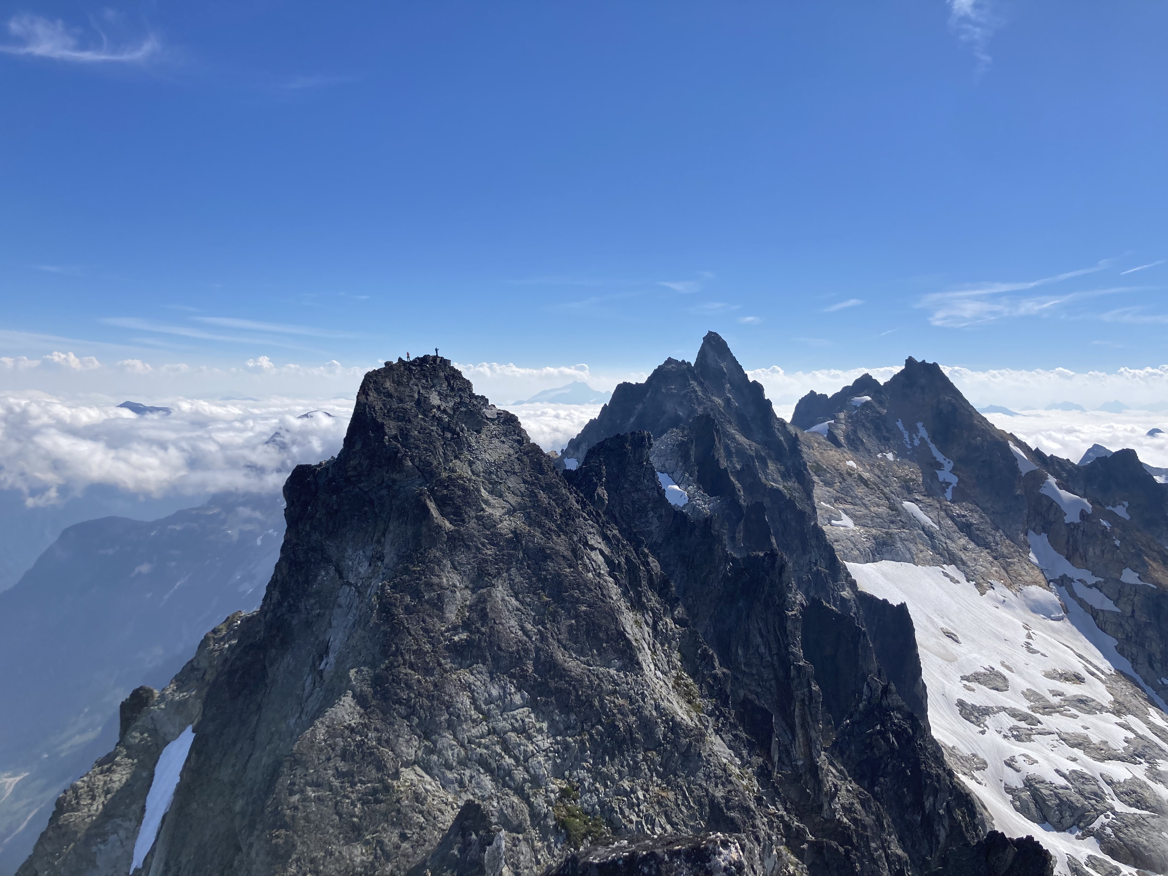
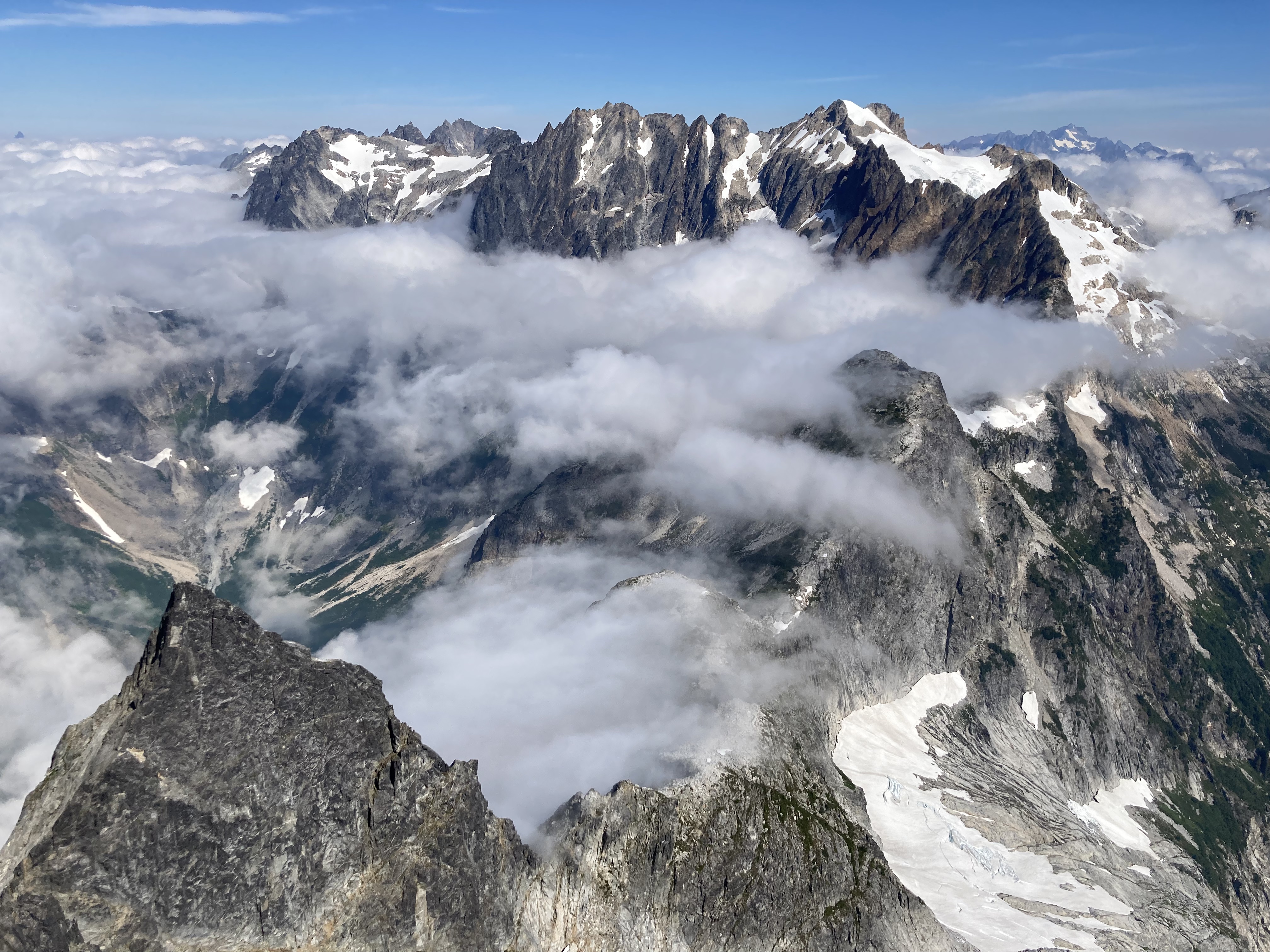
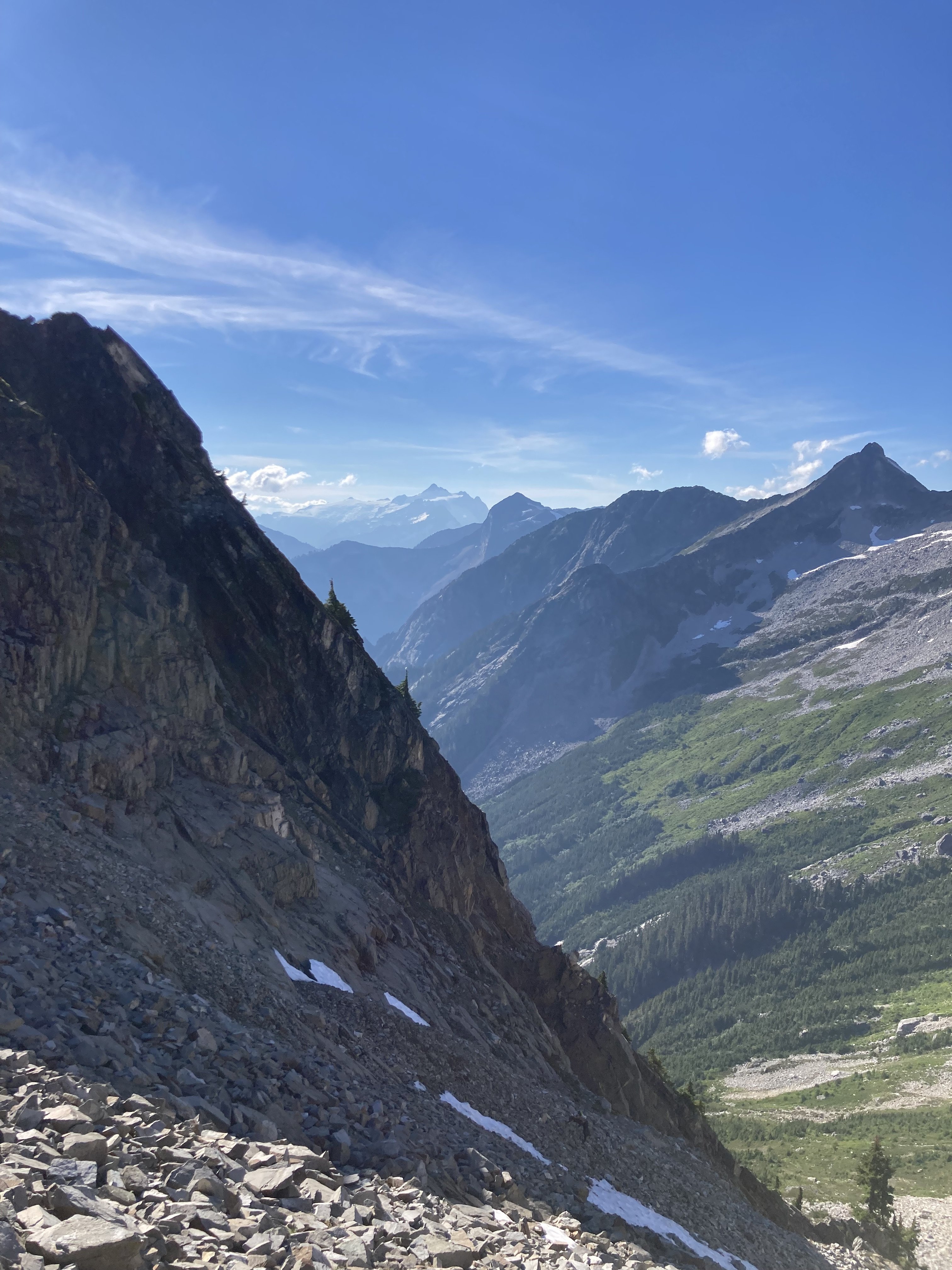
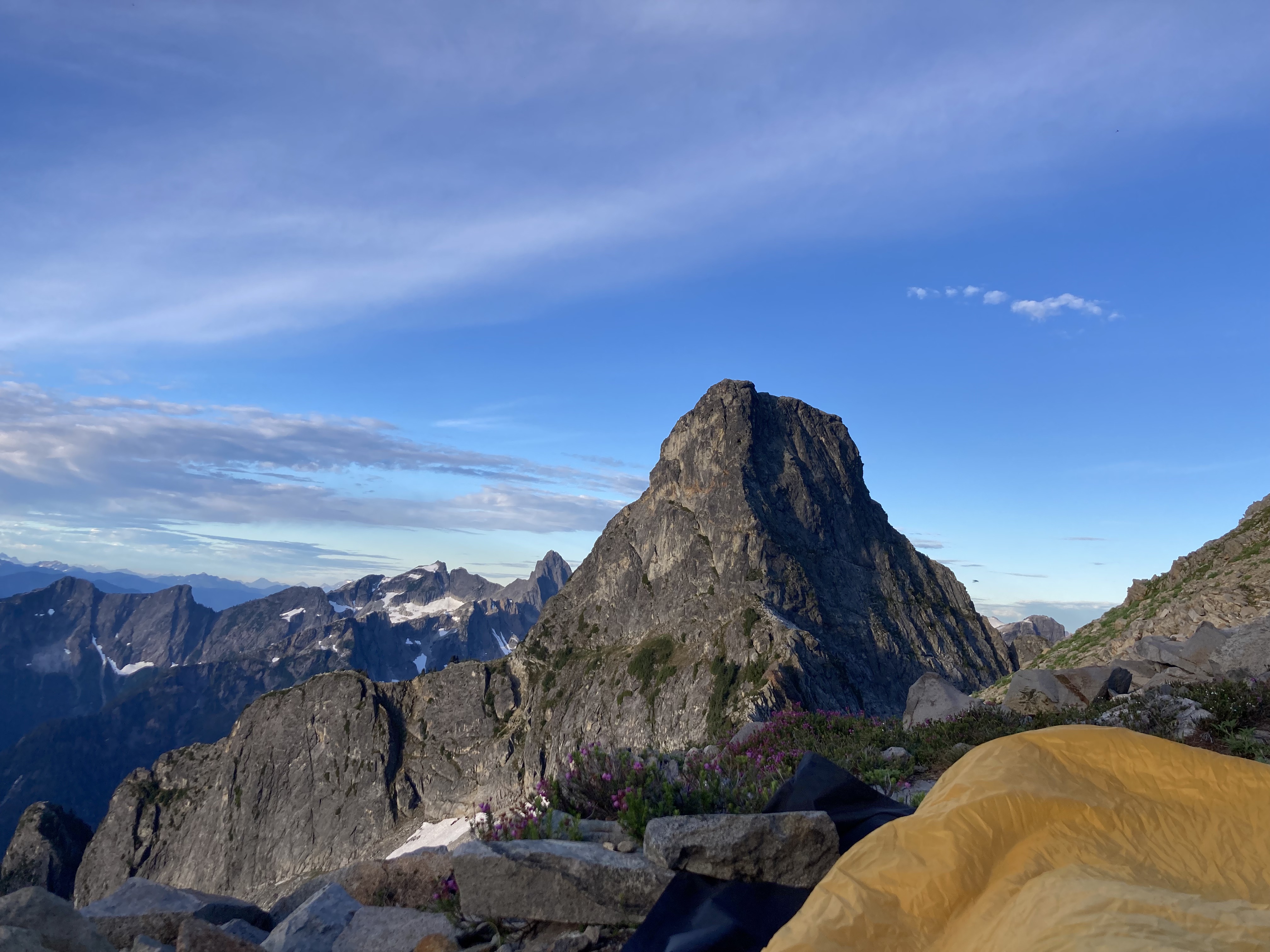
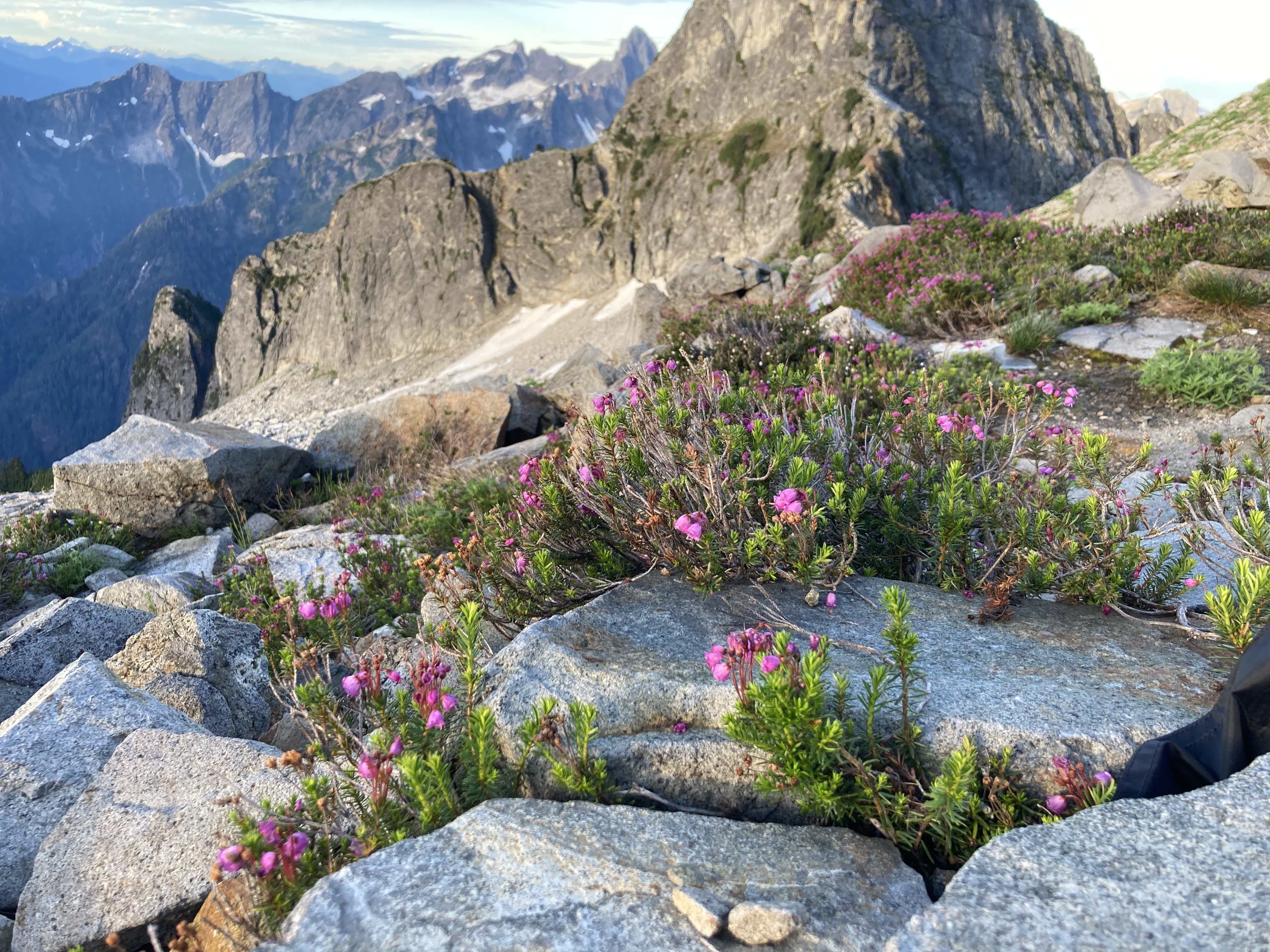
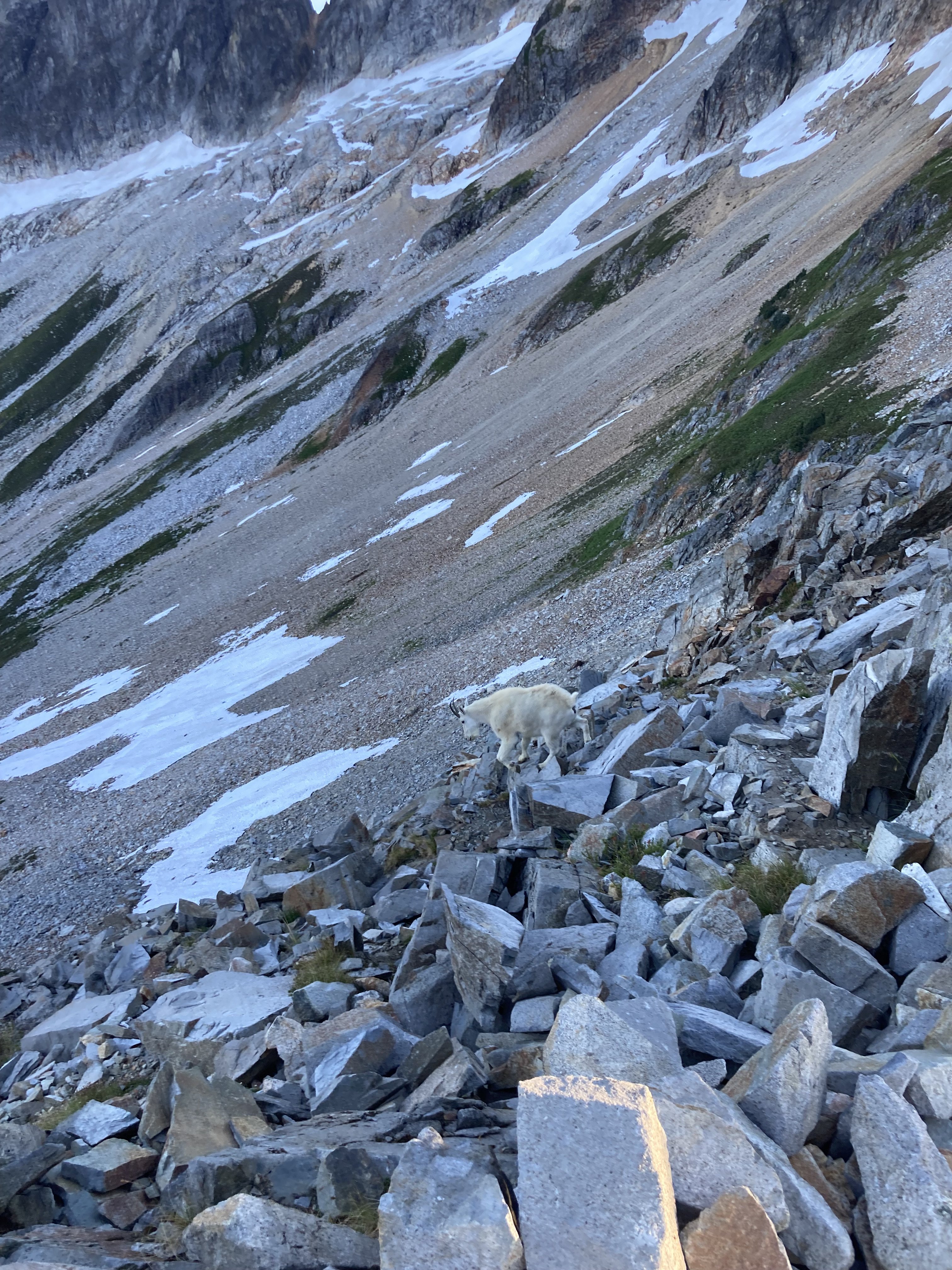
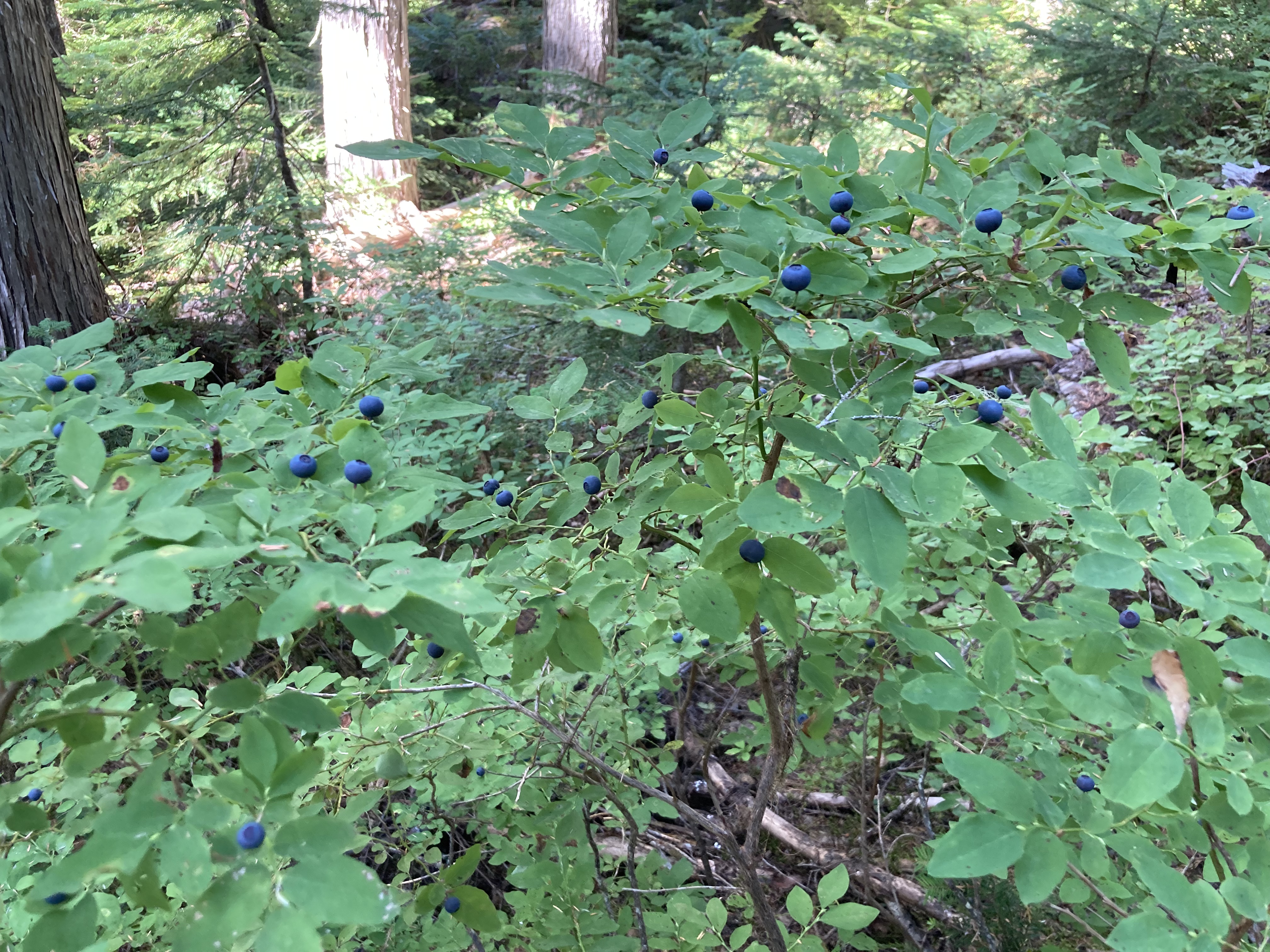
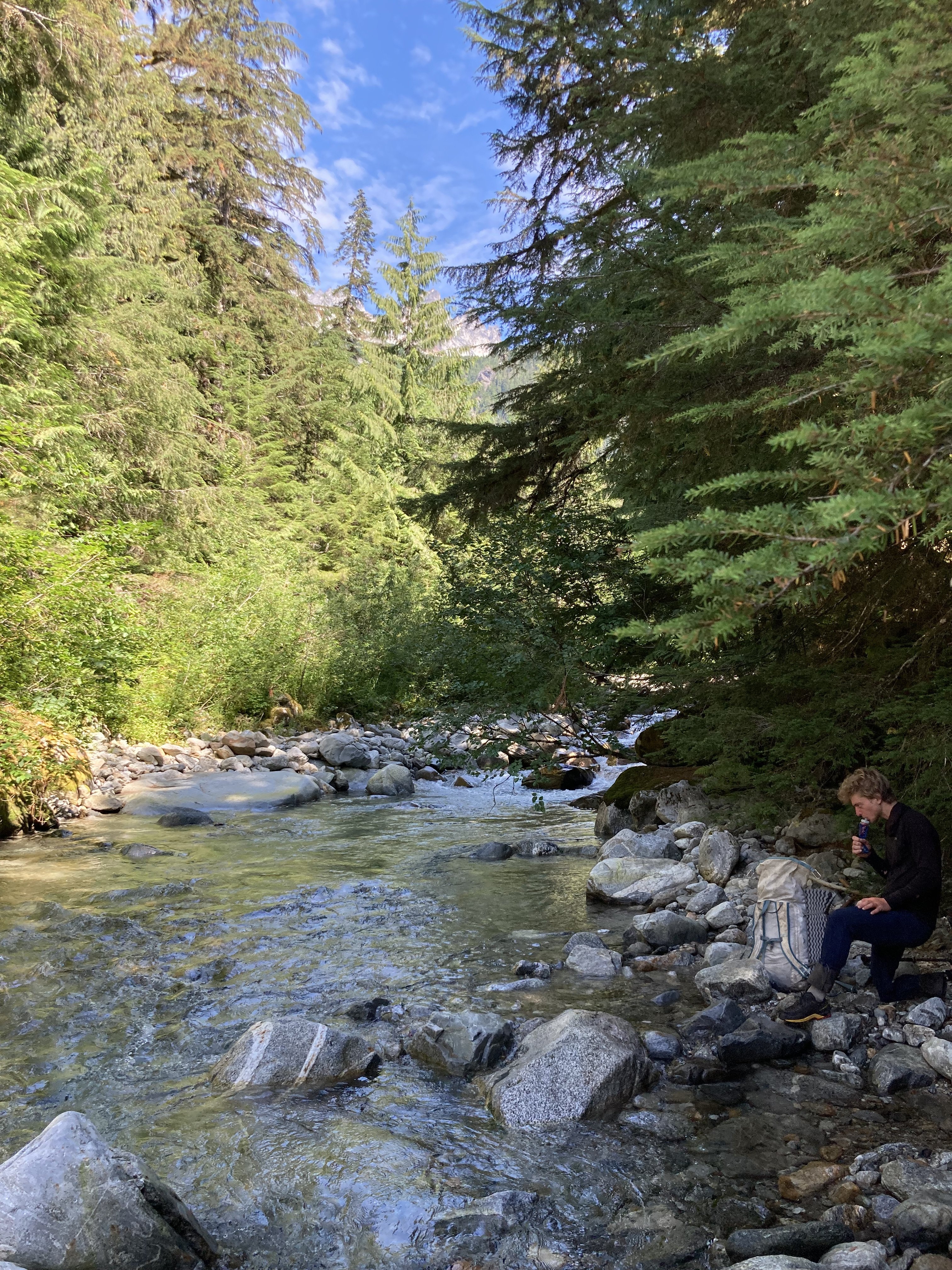
Trip: S Pickets - Himmelhorn - Wild Hair Crack? Trip Date: 08/20/2022 Trip Report: Went to the Pickets with Adrien Costa. Our plan was to approach to the Otto/Himmel col day 1, rap and climb N Butt of Terror and traverse the ridge back to the O/H col day 2, or maybe bivy on the Blob just past Ice Station Dark Star and finish the next day, then hike out. We made it to the col first night but it was definitely a lot of moving. The O/H col approach gully is pretty precarious snow right now (thin, 5m high ridge of snow, undercut n many places). The approach down to the rap anchor for the Mustard Glacier access was a heinous steep sandy choss gully over a drop-off to similarly covered ledges. We could have made an earlier rap station to avoid the worst of it but it looked kinda awful either way and I spent the night thinking about whether or not I really wanted to do it. In the morning a cloud layer was just below us and we could not see the rap anchor or the glacier. After waffling for an hour while eating breakfast the clouds were still there. We didn't want to risk a low vis navigation on the Mustard Glacier so we decided to just climb Wild Hair Crack since it was there and looked fun. We climbed the left of the two cracks to the base of the OW pitch and then moved left to a big groove instead of the OW as we only had gear to 2"... 3x 50-60m pitches lead to the summit ridge and then we traversed to the summit in a short simul block. During this time the clouds cleared and we could see that the glacier was broken off back to the toe of the N Buttress of Twin Needles. We didn't really want to walk under the ice cliffs or try hop blocks right at their edge to get to the N Butt of Terror so we ruled out going off the N side completely. We rapped back to the col and down the gully to Crescent Basin and hiked over to Stump Hollow for the night. Both feeling tired and somewhat unenthusiastic about more choss we hiked out the next day. My thoughts after this trip: The Pickets are beautiful and totally worth a visit. It's a very long approach for mostly shorter routes on low quality rock. I would rather go technical climbing elsewhere and just do scenic 3rd/4th class routes if I went again. The N side of the S Pickets have their glaciers in a nasty state of recession right now, I would consider N Butt of Terror an earlier summer objective at this point to avoid this. It seems that snow gullies and glaciers either need to be accessed early enough to avoid crevasses and other sketchiness, or they need to be totally melted out for a few years to give the gross choss a chance to settle and stabilize. We talked to a couple who had climbed Terror via the 3rd class gully to the Terror/Rake Col, which I had heard horror stories about after it melted out but they said it wasn't bad now... everything is relative though so who knows? It seems like the S Pickets Traverse is something that works better as an approach shoe/rock traverse, and the N buttress routes are more of snow/glacier cruxes on the approach which would be much better earlier season with boots. Of course I've only been in the Pickets a couple times so I would be curious to hear from people with more experience what they think about all that... Here are some pretty pictures... Crescent Basin, pic by Adrien H/O Col bivy, pic by Adrien H/O col bivy Wild Hair P2, not the OW, pic by Adrien Coming up to summit ridge, pic by Adrien Three guys we met at Stump Hollow the previous day on top of the West Twin Needle after climbing something on the S face. Obligatory Fury/N Pickets shot Shuksan from Stump Hollow bivy Chopping Block from Stump Hollow bivy Oooh pretty Goats Huckles Terror Creek crossing... approach was not as bad as we had expected if you really try hard to not loose the trail. Gear Notes: The usual Approach Notes: Standard
-
Wish I could have climbed more with that guy. Super sad.
-
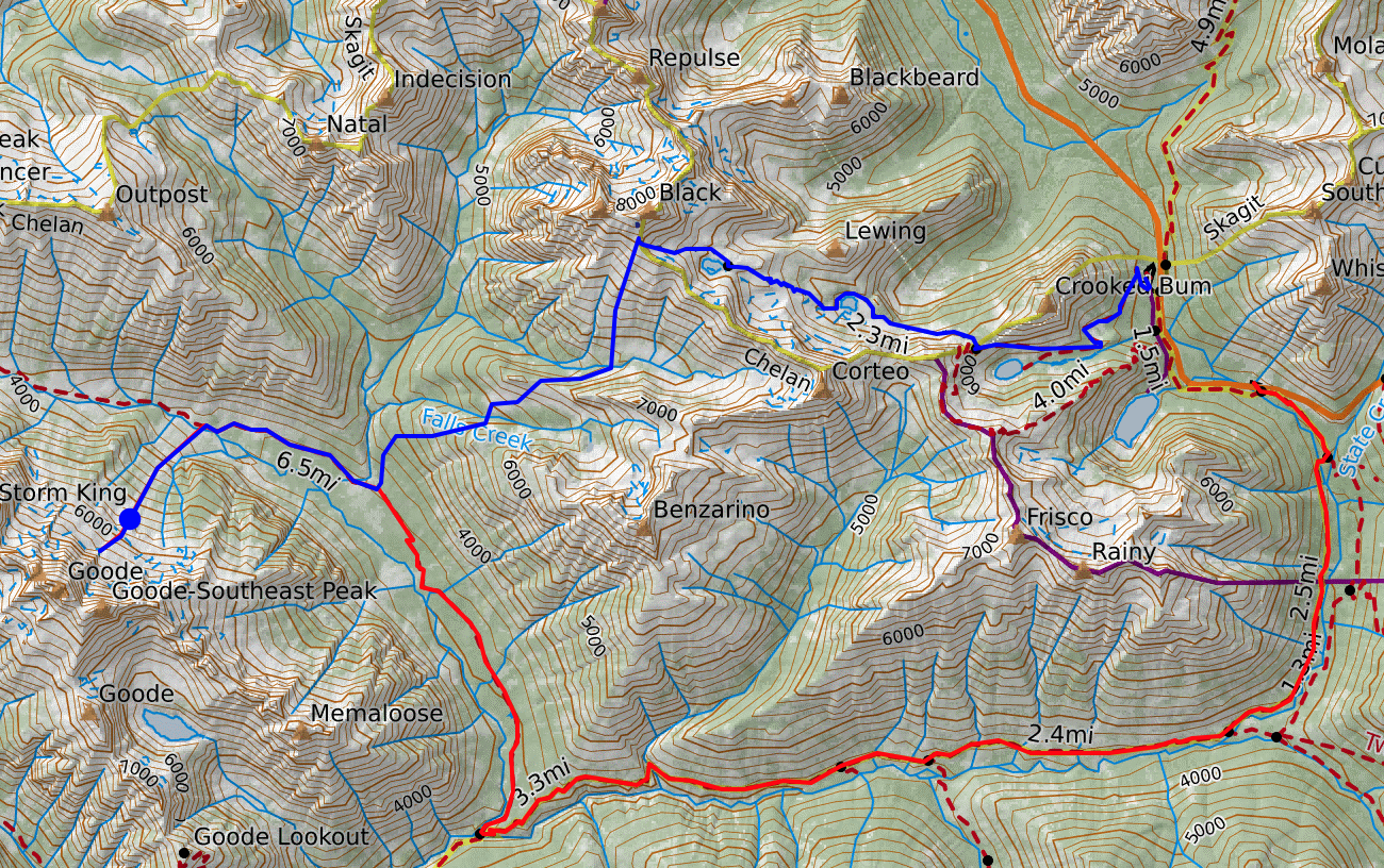
Blue line = black peak approach (approx 10 miles and 8k' gain) Red line = standard PCT approach (approx 16 miles and 4k' gain)
-
Anyone ever tried to approach NE Butt on Goode from the approach trail/ridge to Black Peak? Any thoughts on how awful or not it might be?
-
@robertm does WA Pass mean just the Liberty Bell Group as some people suggested here, or do you include all of the surrounding peaks and walls? If you include surrounding areas then I second W Ridge of Paisano to N Face of Burgundy as the best route I've climbed at the pass under 5.11... I'll take it over DEB, W Face of NEWS, Clean Break, Beckey Route, etc, any day. @mthorman and @Rad have their opposing opinions on Clean Break... personally a long adventure route like that adds to the appeal and I thought Clean Break was awesome and I would put it on your list, but as mentioned there are few good 5.10s at the pass. If you want to climb good routes at that grade just go to the Sierra... there are dozens of 5.10 routes better than it there... Marlin, sounds like you need a road trip. ;) I have not climbed Rebel Yell, but have heard great things. If I went back that would be the one route on my list in the sub 5.11 range. So maybe those would be my three... Paisano to N Face of Burgundy, Clean Break, Rebel Yell
-
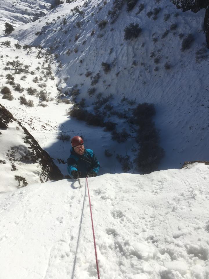
Hey all, I've climbed a lot in various areas around the NW in winter but not in Snoqualmonix. I would like to climb some of the classic routes like NY Gully next winter and just curious what experienced people look for in weather to produce good climbing conditions. Thanks, Sam
-
@Michael Telstad could you link that TR? I can't find it. Edit: NM here it is...
-
For solo aid I also use clove hitches. Always have two so you're backed up as you feed slack on one (I entrain them on the same rope). I've taken a fairly large whipper on this system and it was fine. For free climbing there is a fairly good community here https://www.facebook.com/groups/LeadRopeSolo/ where people share their systems. Seems like most folks these days are trending toward a gri-gri with a microtrax or similar, to hold the rope allowing easy pulling of slack and the weight of the rope not causing problems feeding in the gri-gri. I haven't tried the method myself but I've watched someone with it dialed run a quick lap on Lost in Space at Smith (10c 4p). Looked pretty slick. @bargainhunter where did you learn the deets for the back loop system? I've heard of it before and the name gives me some idea of what's going on but I'd love specifics.
-
As a father, I salute your commitment to the cause!
-
Thanks @JasonG for that snarky but useful response. I thought about gaiters too. Given that I would be wearing something like a modern double boot with built in gaiters I feel like this is an annoying solution. I think hemming/re-seaming like @kmfoerster suggested is the only option besides returning them and buying something that fits better. Mostly I'm just annoyed that they were listed for alpine climbing but are just baggy ski pants.
-
I recently ordered hardshell bib pants from Mountain Equipment because they were on sale in my size and said "alpine climbing fit". When they arrived they fit great BUT they are SO baggy around the ankles like a ski pant. This seems ridiculous for a "climbing" fit and even with G2 boots on they seem like they are at least two inches too wide and just snag on crampons. Anybody have any ideas for how to either fix this, jerry rig it, or what to look for to actually get a a climbing fit?
-
That last photo of you sitting at the table is great! The others are decent too I guess, but that one is my favorite.
-
Thanks Marlin. I talked to Duncan too, I guess he might be up that way this summer as well. If anyone else hears/knows anything let me know!
-
Anyone been into this zone and have advice on approach strategy? More unlikely, but anyone climbed on Geike and have beta, especially for the descent back to the North side? Thanks!
-
[TR] Mt Hood - Circumnavigation 02/12/2022
bedellympian replied to adventure43's topic in Oregon Cascades
So you didn't use skis? Looks cool. -
They each lost an average of 13 kgs (29 lbs). Eighteen days on route. Also, that tent site looks terrifying.
-
The Waddington Guide by Serl lists Corilair and Island West Air as options for planes from Van Island. Corilair offers float planes while Island West Air offers float and wheeled planes. The guide was published in 2003 so I'm sure things have changed but hopefully that gives you a starting point... https://www.corilair.com/ Looks like IWA's website is no longer up so they may be closed down. I bet all those pilots know each other so I would just call up someone and tell them what you're looking for.
-
Thanks for the detailed answers. Two more queries if you don't mind... How was the rock you encountered? What elevation was freezing level during your trip (night vs day)? Would also love to see more photos!
-
Sounds like quite the summer, would be great to hear about your other 7000m peaks too. I'm also curious how it was to setup logistics and what the cost of this sort of trip looks like?
-
[TR] Buck Mountain - Northeast face 08/11/2021
bedellympian replied to seano-'s topic in North Cascades
Does anyone know how close you can get to this with a car in winter??? -
Some other people may have something different to say, but I would stay off of those peaks in September. The rock is bad and will be exposed, and the crevasses will be open. If you will be on a trip and don't want to climb something more technical, then go do a 3rd/4th class ridge scramble in the N Cascades. If you want to climb a glacier route plan a trip for May/June.


