-
Posts
533 -
Joined
-
Last visited
-
Days Won
55
Everything posted by bedellympian
-
Anyone got any trips or goals for the summer season? Let's share and get stoked! I'm going to spend a week 2nd half of June with a good partner. We're going to see what the weather does before we pick a location... Rogers Pass, Canadian Rockies, Tetons, Cascades are all on the radar. Then hoping to either go to the Sierra or Darrington for some (very different) granite climbing later in the summer. Hopefully a couple family trips with at least some scrambling, kid TRing, and hiking too.
-
I talked to that guy at the TH. Wild story. He was on a splitboard.
-
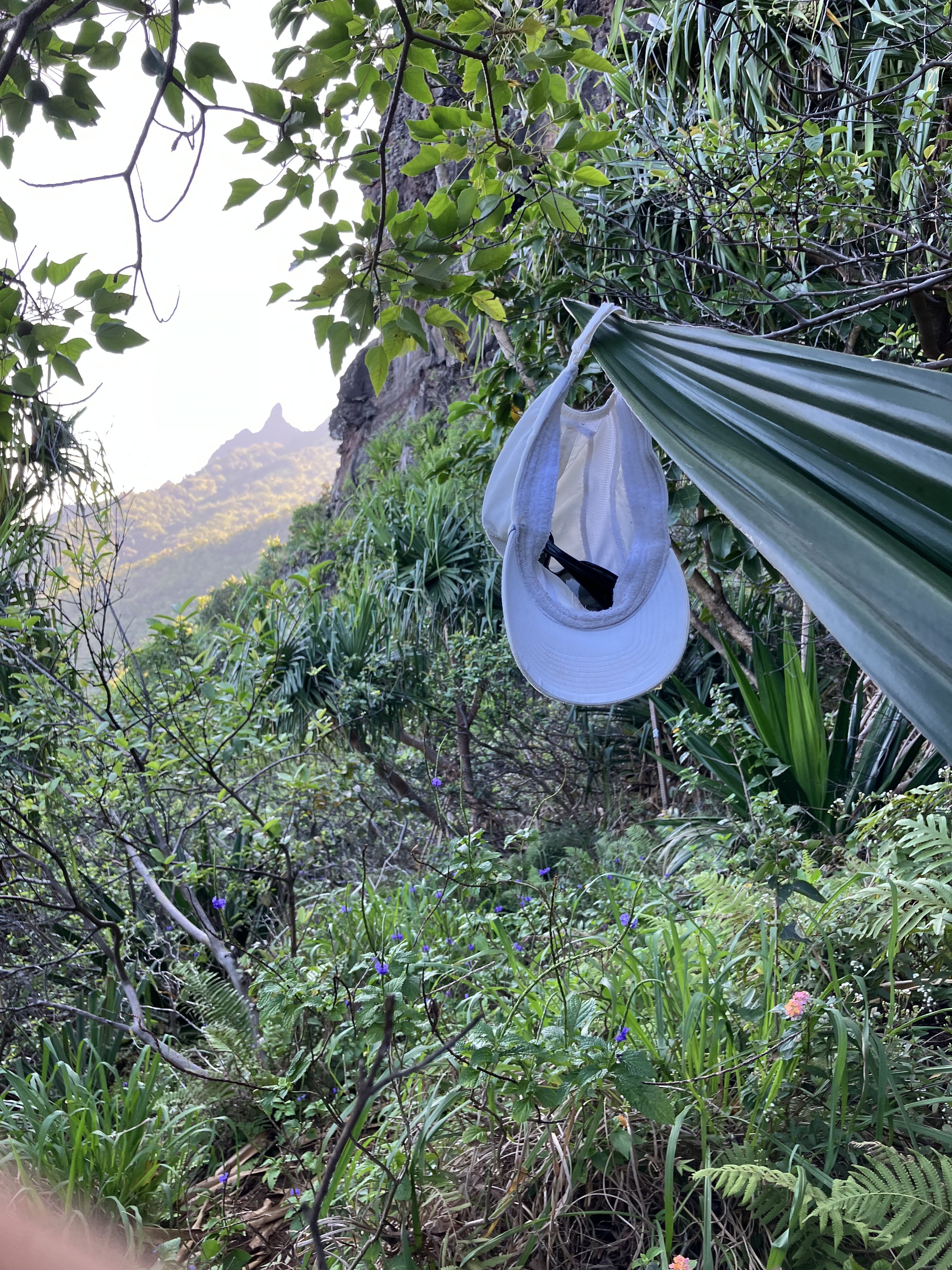
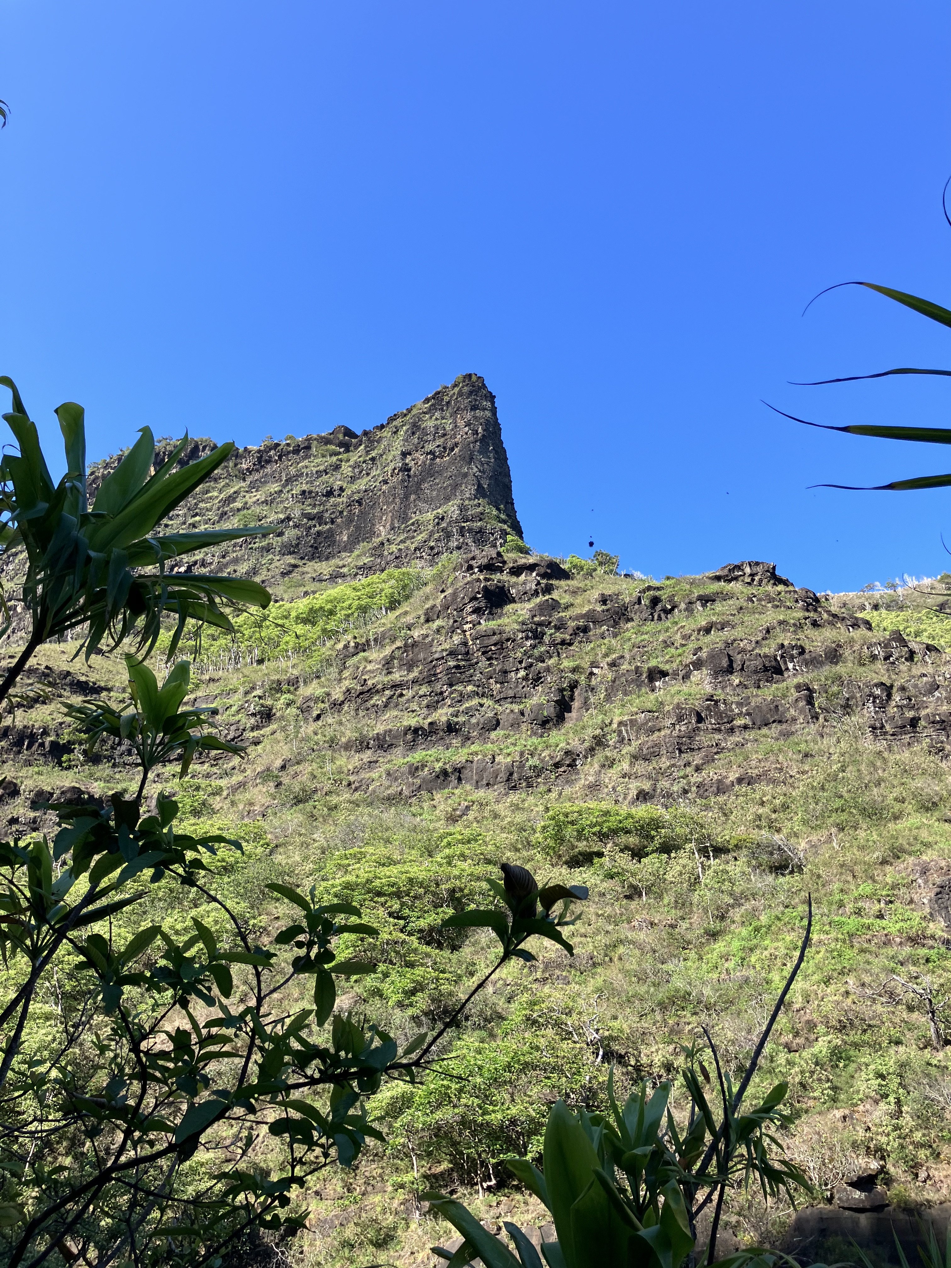
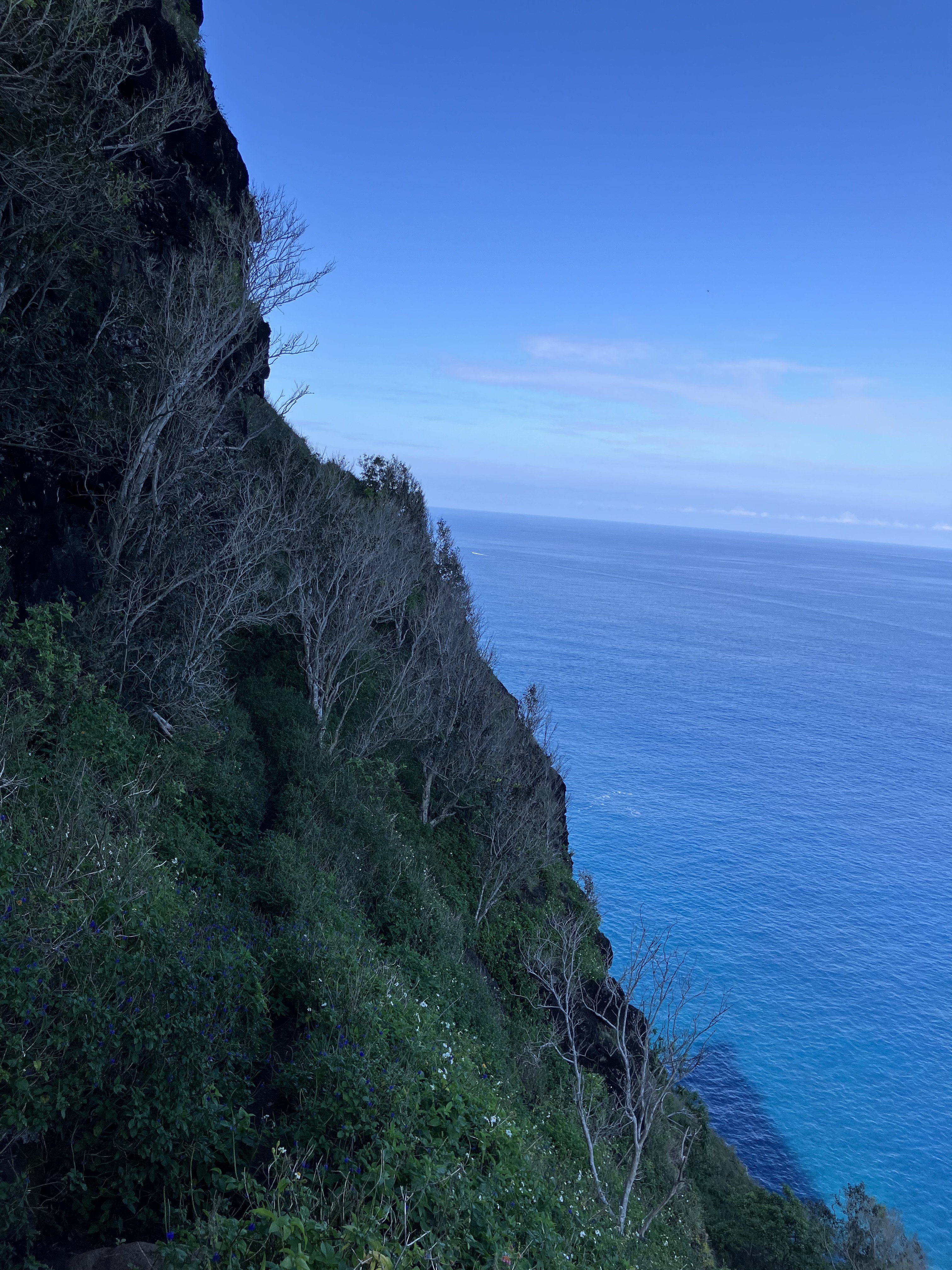
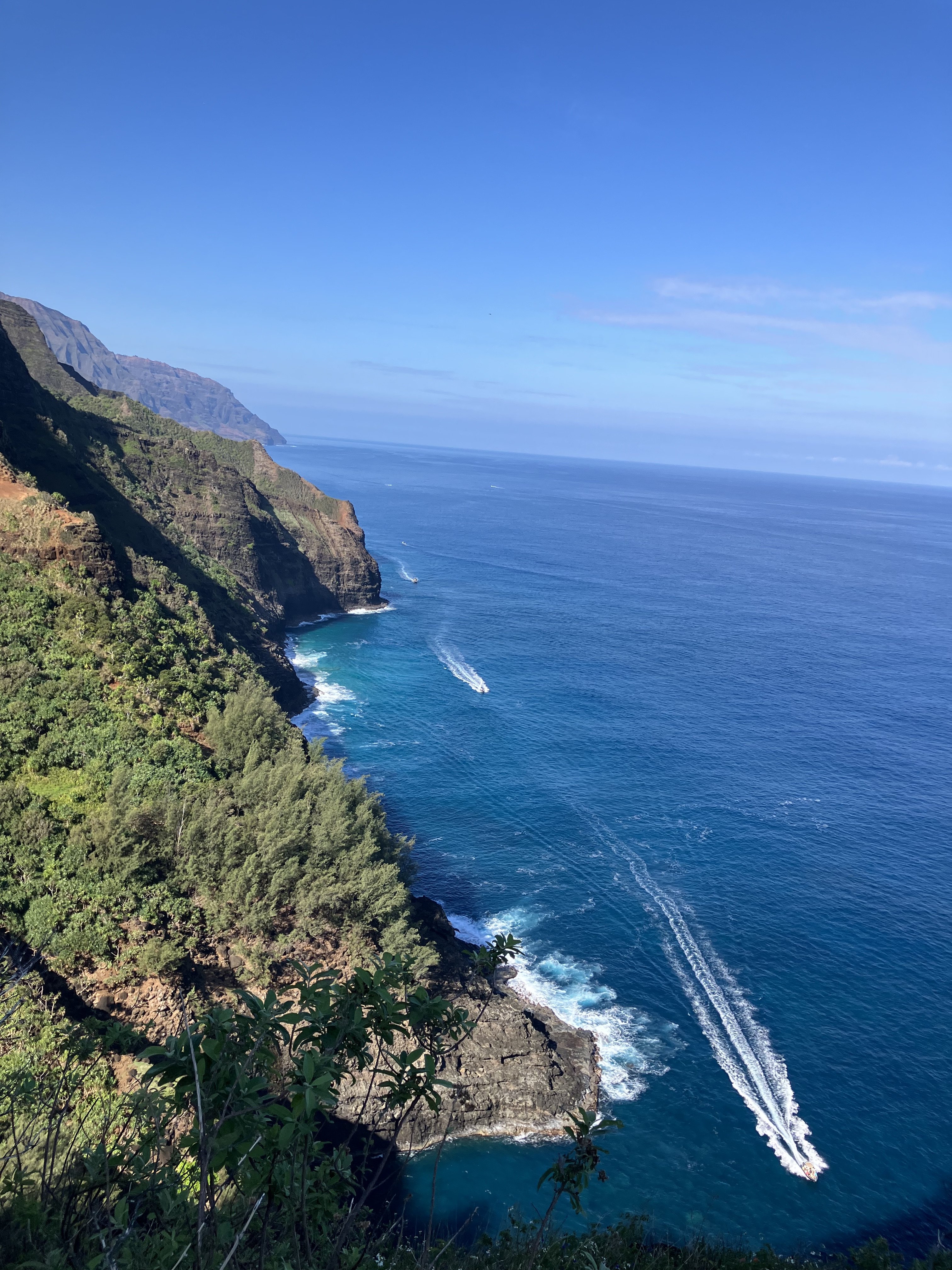
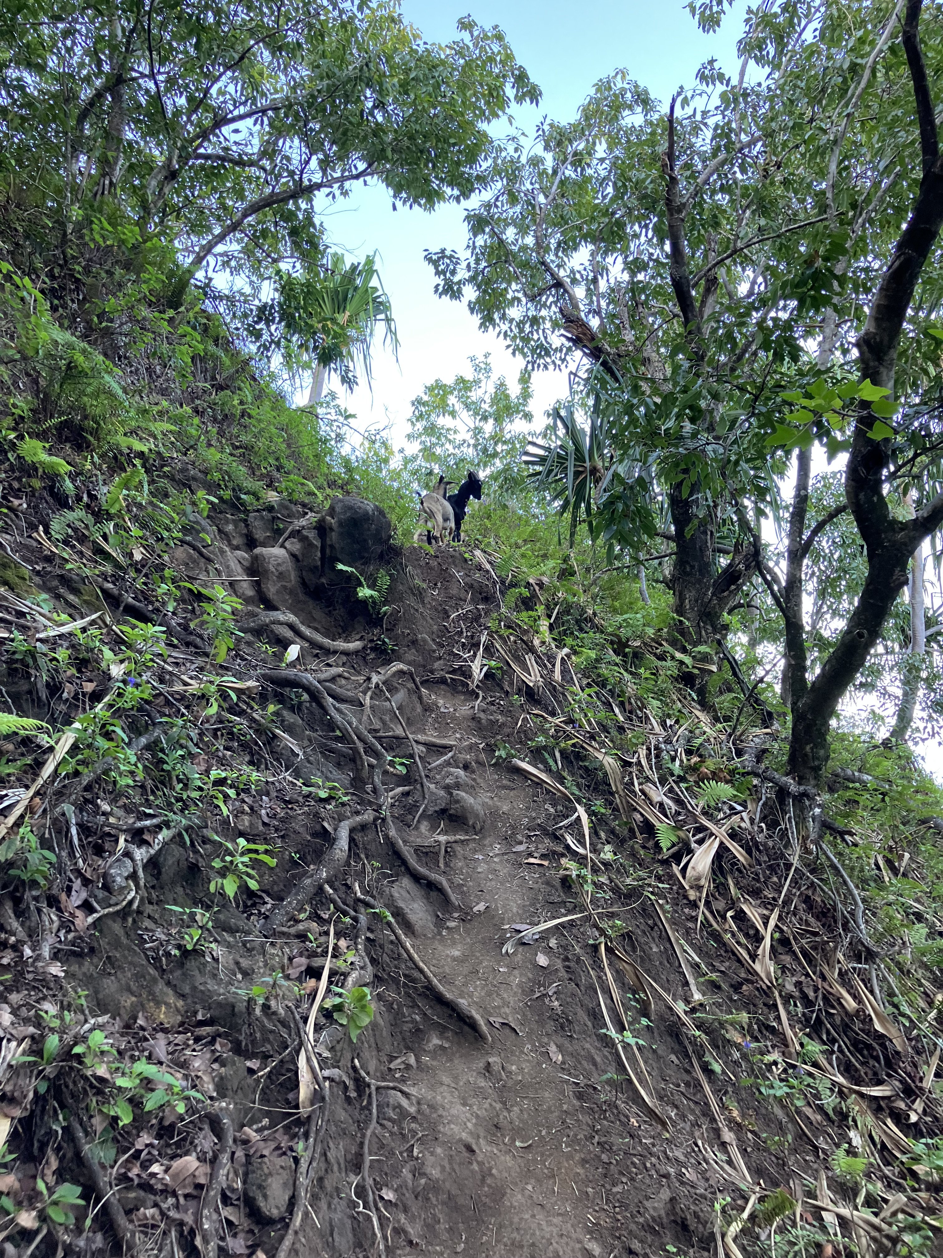
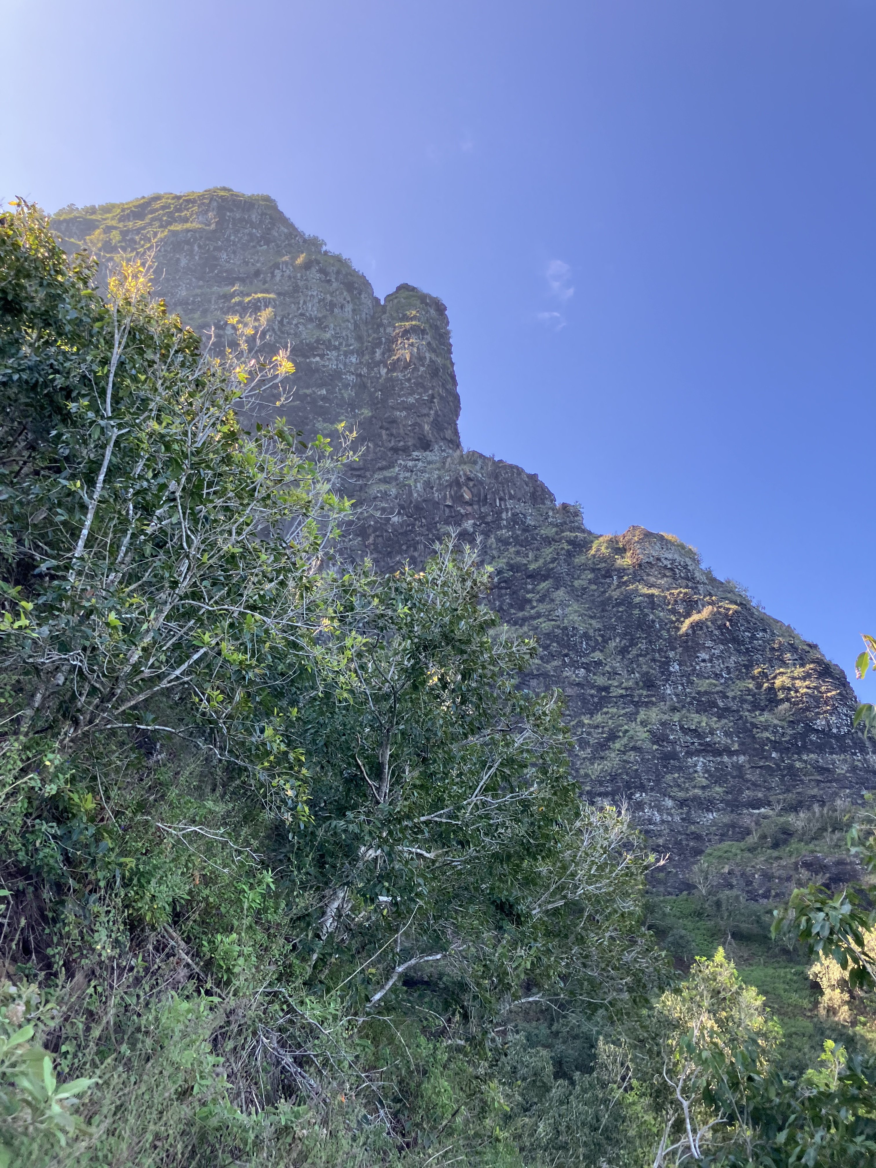
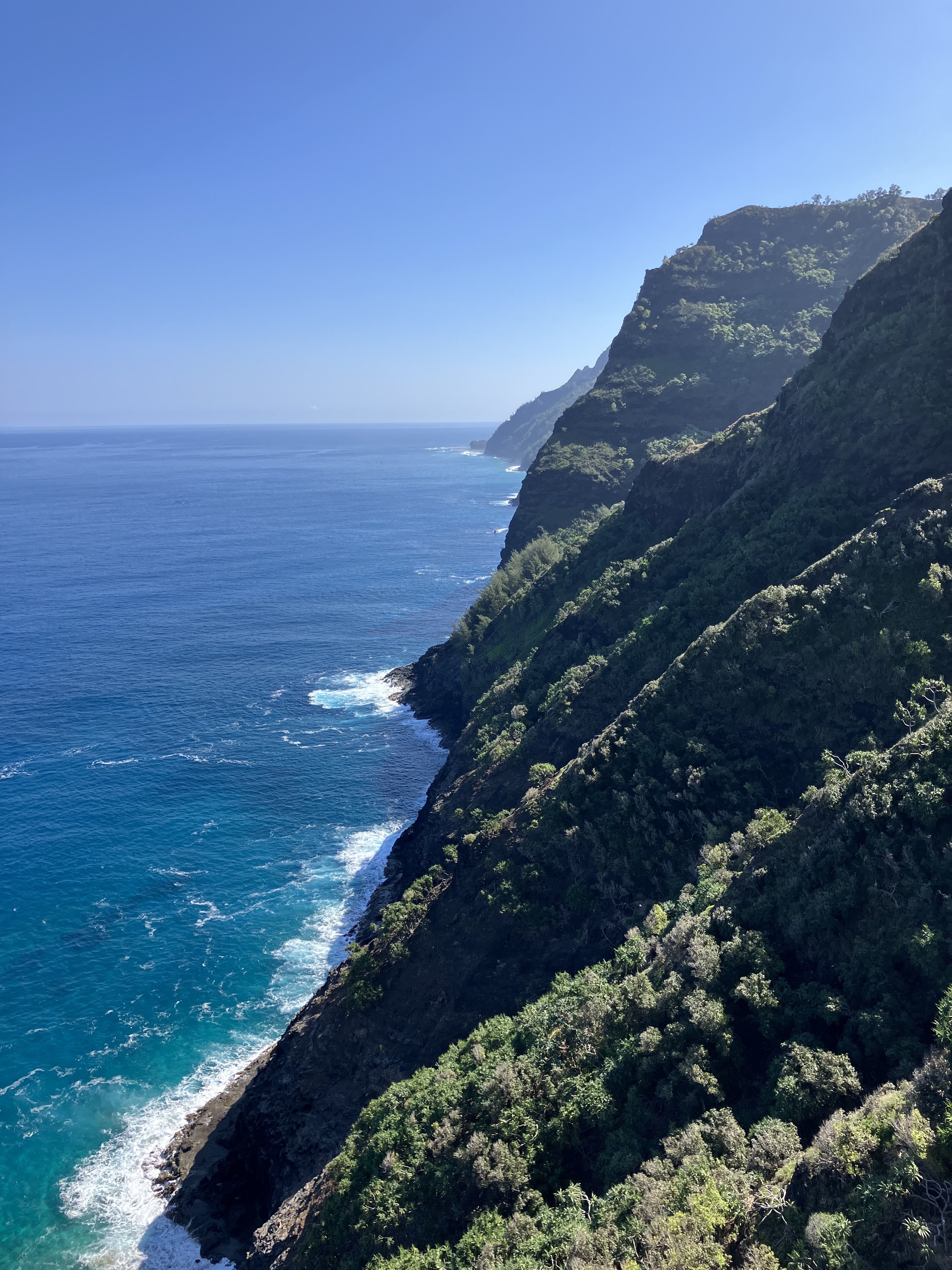
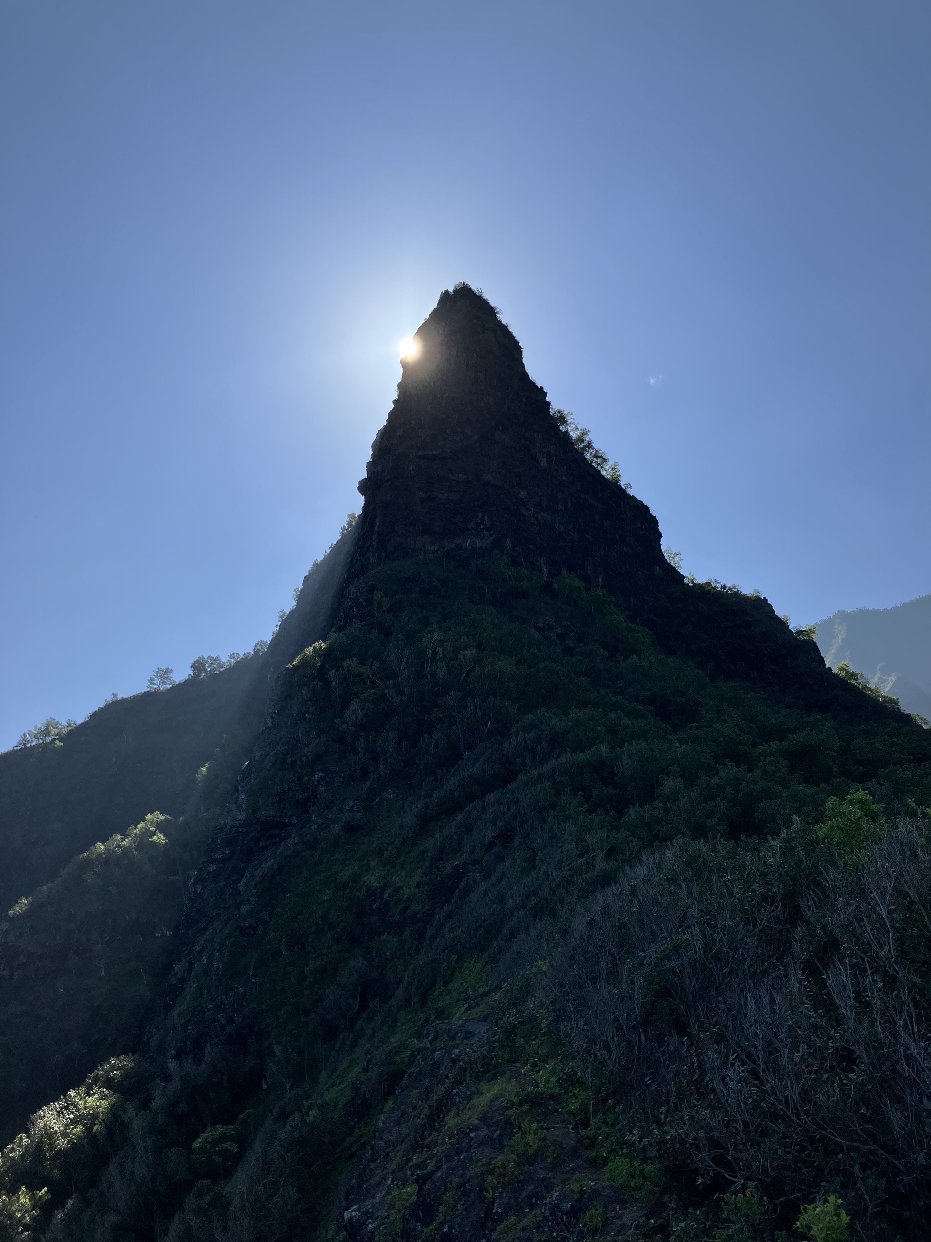
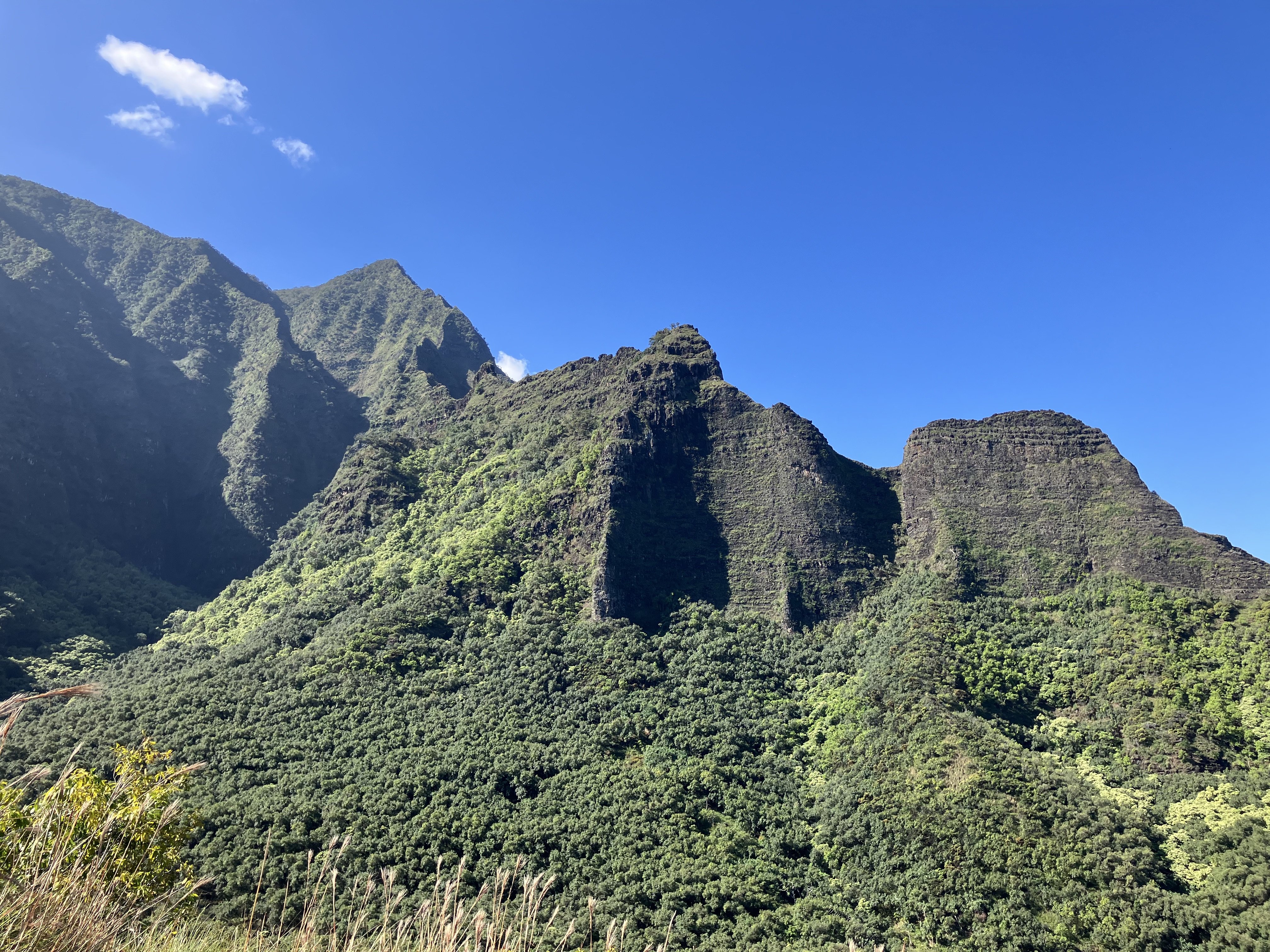
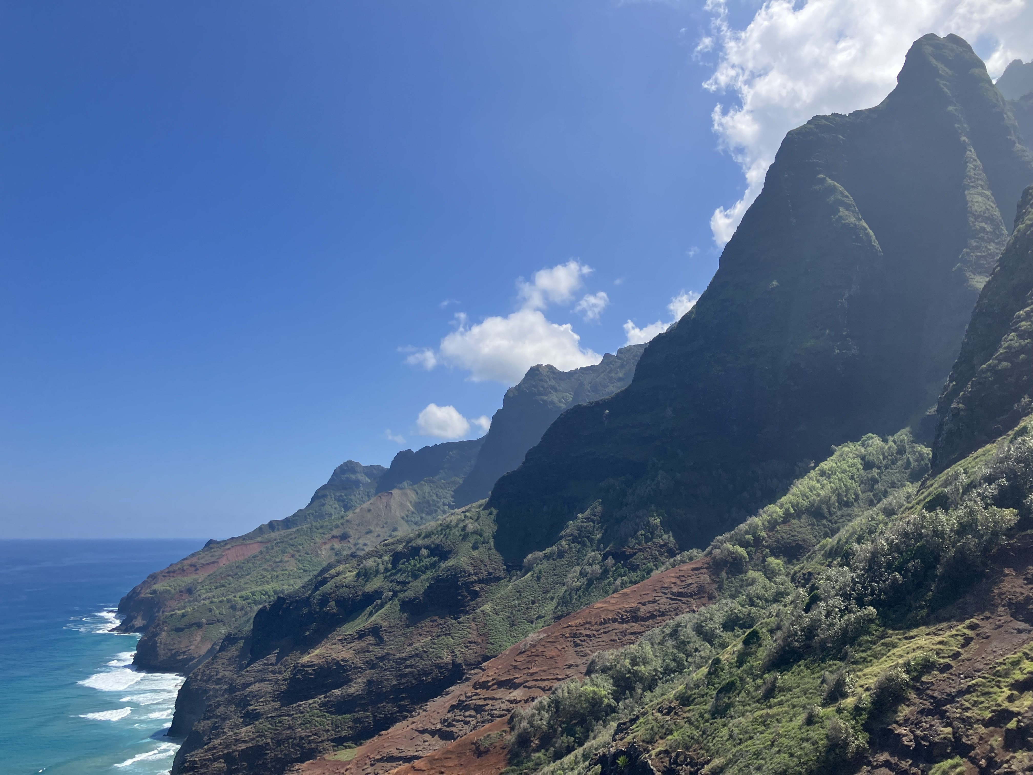
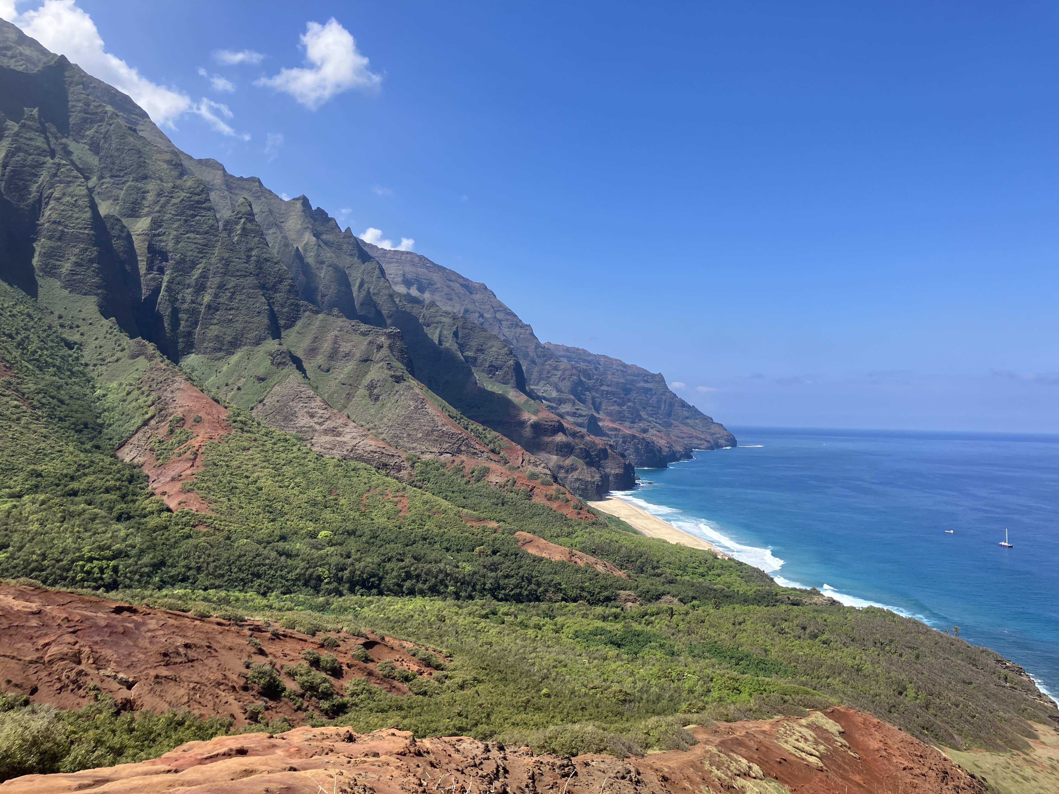
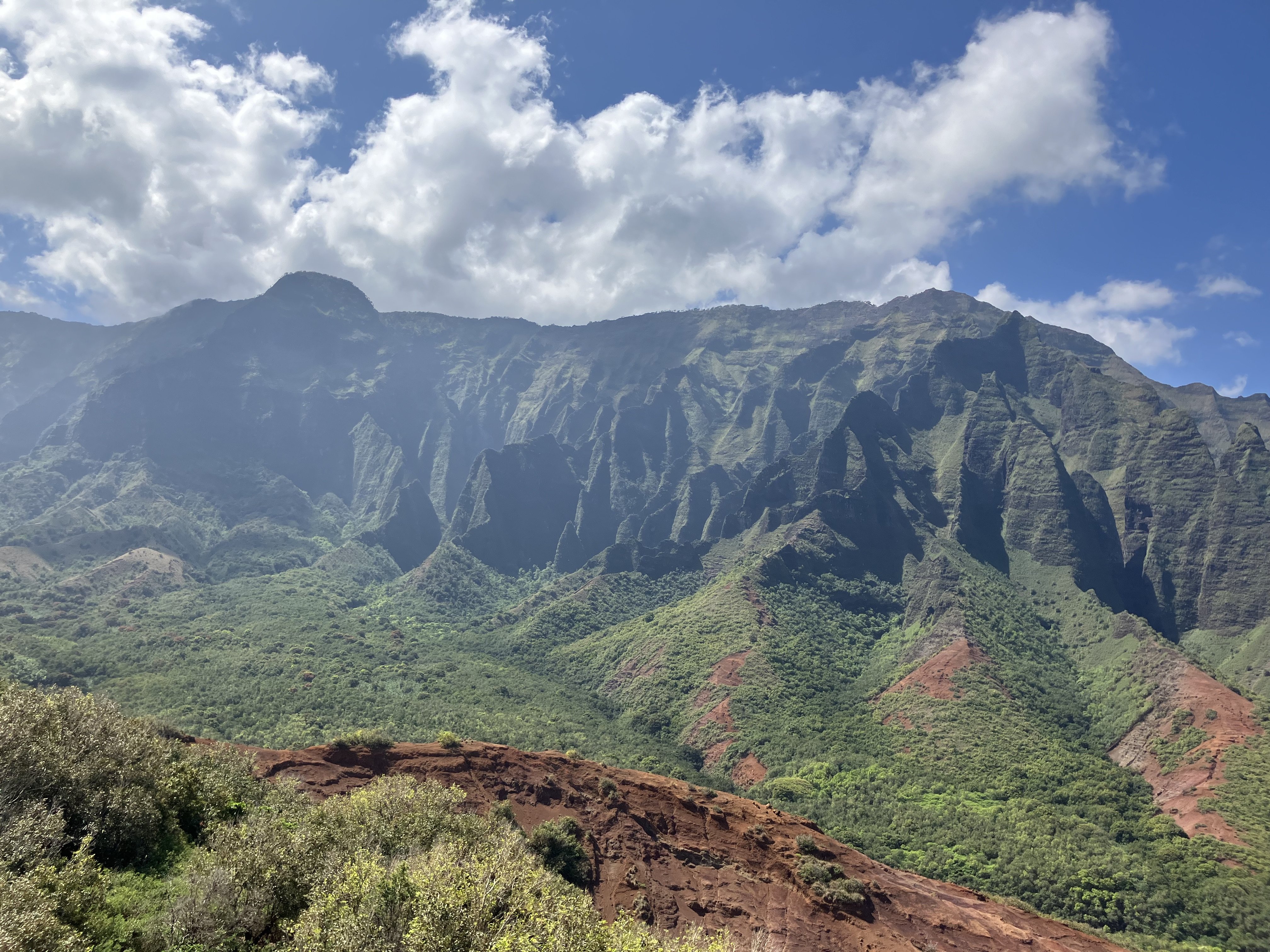
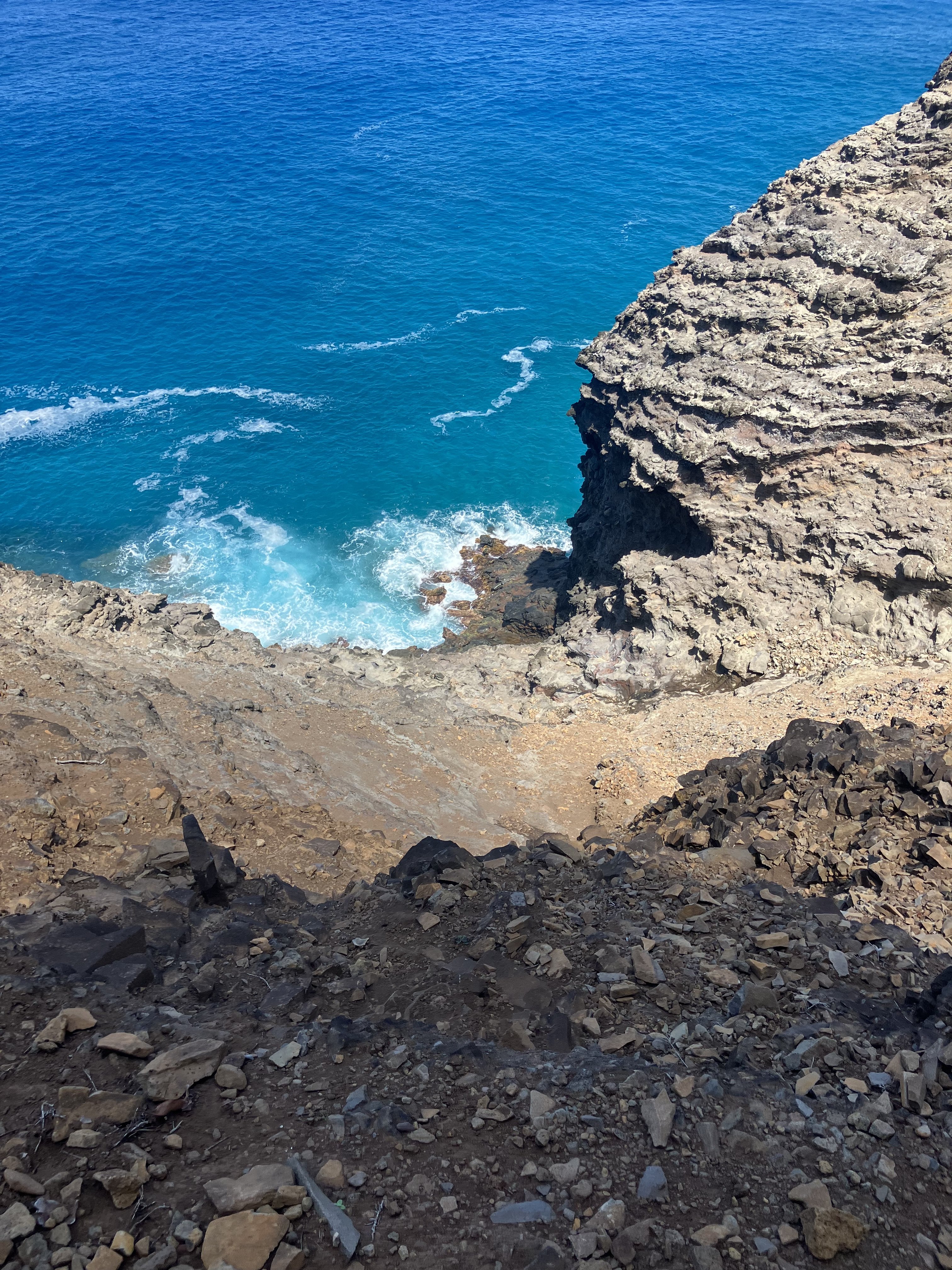
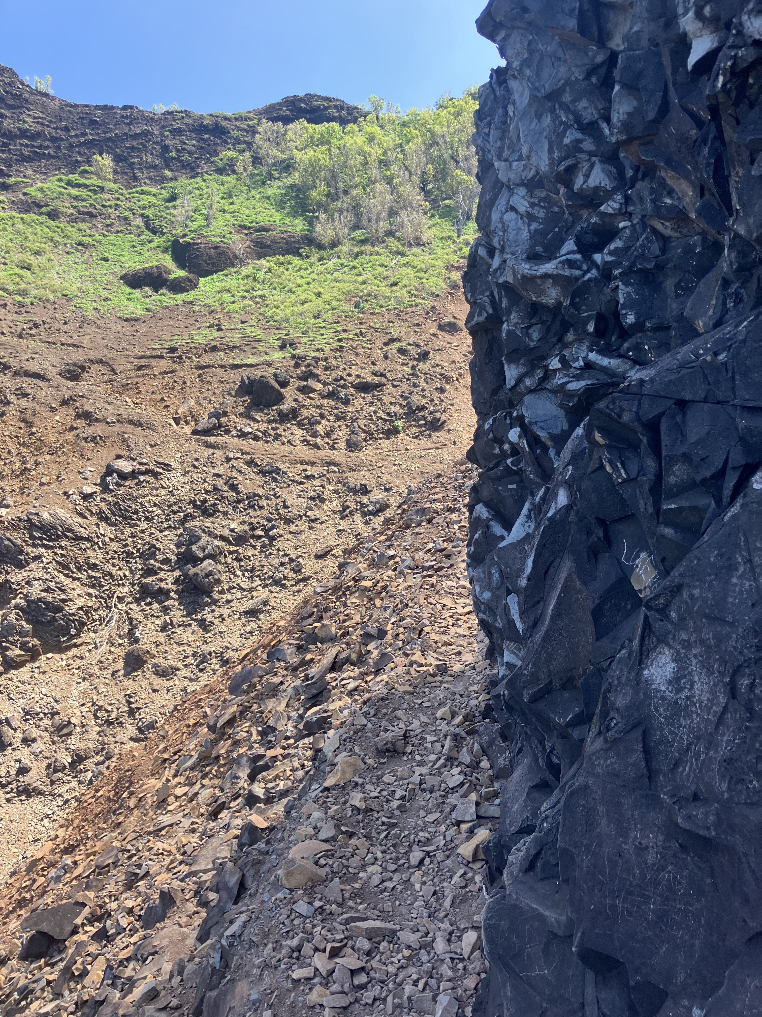
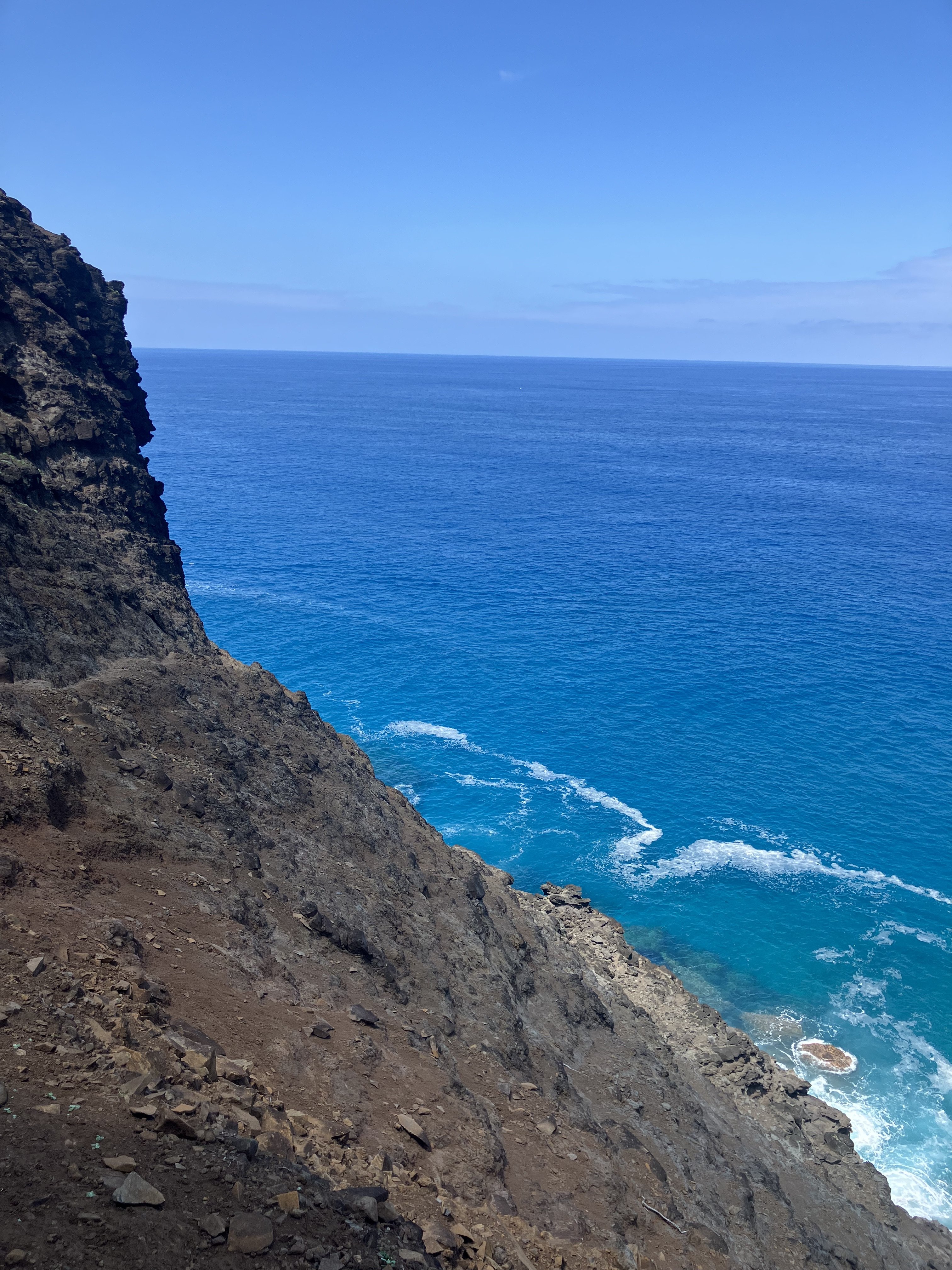
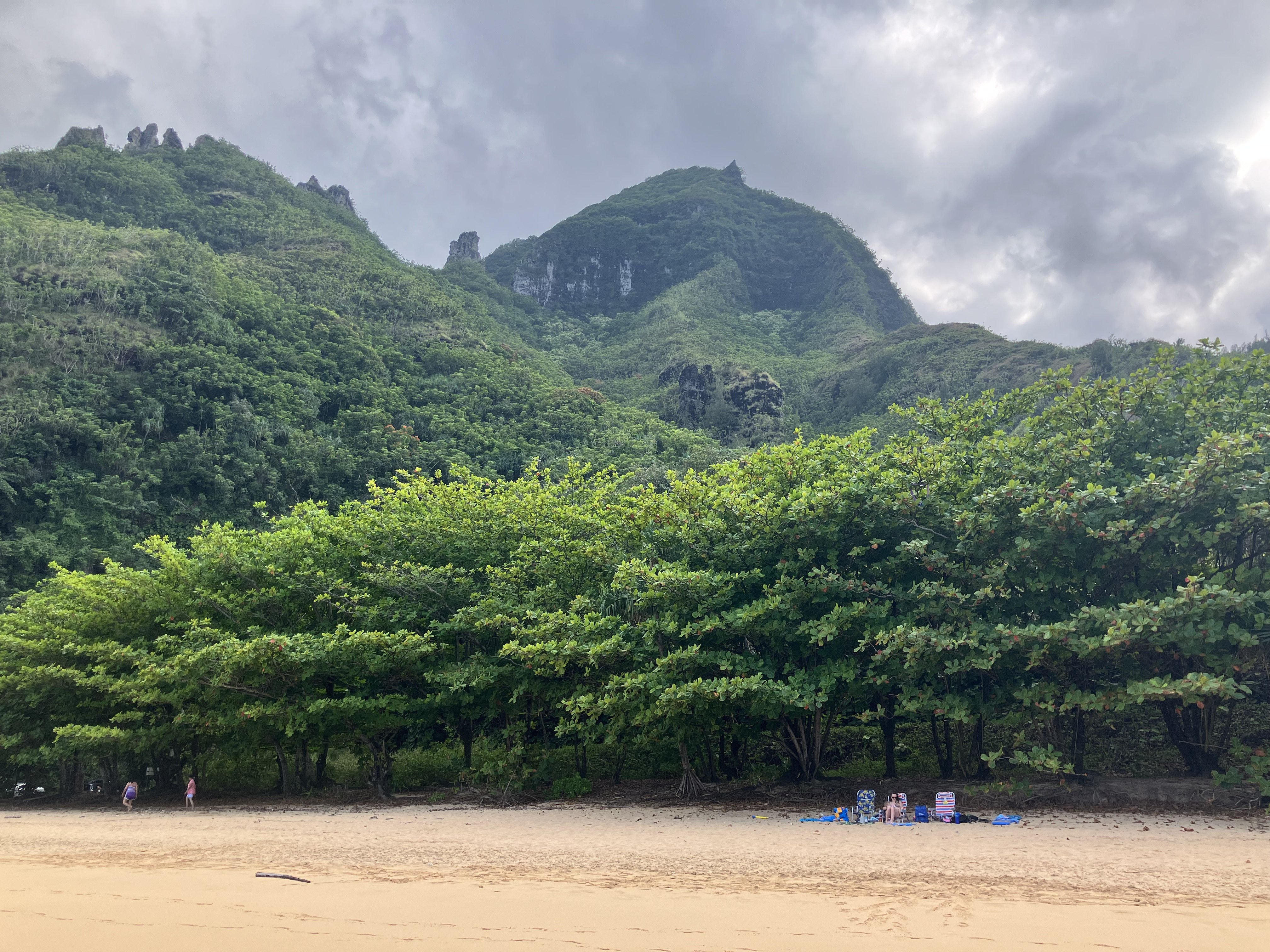
Trip: Kauai North Shore - Kalalau Trail Trip Date: 03/28/2025 Trip Report: Went to Kauai for spring break... no climbing... what a bummer. At least I got to hike some cool terrain. Would highly recommend. Only had the morning so I went light and fast. Only made it 9 out of the 10 miles out before my turn around time... I had to meet the family at a beach (tough life)... but this did get me to the ridge overlooking the Kalalau Vaslley, which is where the end point is. Trail was very rough and couldn't run very much. Once the sun was higher, heat stroke felt like it was just around the corner. Last 2 hrs were rough and once I reached the Ke'e beach I stood under the rinse shower for 5 minutes with all my clothes on and chugged a liter of water much too fast. The permit system is a little difficult to navigate, you can book 3 months out and need an overnight permit to go past Hanakapiai creek. I lucked out and snagged a pass a month out. The permit system does make it very nice once you're in, as there are very few people around for such a known and beautiful trail. There are lots of tour boats and helicopters showing the wealthy and lazy around this side of the island. It's pretty annoying in general. However, it was ego tickling when I was running a particularly exposed section of cliff and some guys in their boat tour a 100m off shore started cheering and chanting. Here's the pictures... Big plants Big cliffs Exposed trail... still nice and shady on the way out Wild goats... combined with the vegetation and the volcanic rock and it's basically just like the Cascades. Count the tour boats More big cliffs Looking back, rugged terrain More big cliffs, oooh pretty light And even more big cliffs Looking back out / big cliffs redeux Kalalau Valley Exposed scramble section... felt very chill but there were some seriously sketched out hikers Beach recovery... water was too warm to ice bath... pity Gear Notes: Trail shoes, snacks, lots of water and electrolytes. Approach Notes: Ha'ena State Park shuttle from Hanalei. Book your permit online 3 months out.
-
Yeah, doing some basic mountaineering training like Gene said would be pretty smart. For Rainier and Fisher you should also have your crevasse rescue systems dialed and glacier travel knowledge. That said, if you spend a day practicing self arrest and another day practicing crevasse rescue you will be fine and should be able to do all of those routes no problem if you've been cruising around the High Sierra already. Since rock climbing is something you're already experienced with I would not shy away from routes with more of that in them, but it sounds like you want to spend time trying the more snow/glacier type routes and build that experience. Other glacier mountaineering objectives to consider besides Rainier and Shuksan... Baker, Adams, Glacier Peak, Olympus. Honestly I would just pick whichever one is closest to you and try do multiple routes on it. Rock(ier) routes to look at that still have some of that... Southern Pickets like Inspiration have a good little glacier to get across, other routes in Boston Basin. Don't get too locked into specific routes. If you have a chance to go with a solid partner or get on the right type of terrain, just take it.
-
In Search of a Climbing Partner for my Vacation
bedellympian replied to KevinZim's topic in Climber's Board
North Sister is the only one I mentioned that could use a good 4wd to access the Pole Creek TH. I have seen a prius do it in summer, but not sure what it will be like early May. Not like FS is going to have lots of people and budget to clear downed trees and grade roads this year. -

In Search of a Climbing Partner for my Vacation
bedellympian replied to KevinZim's topic in Climber's Board
Any route with steep snow will have avalanche hazard if there is fresh snow or sudden increase in temperature. That said, if temps are consistent for the days before and no fresh dump, then spring usually leads to a very stable snow pack. I would consider bringing light snow shoes for PM low angle snow portions. Some recommendations based on what you've said for further South, which may be where the weather takes you... Shasta - Casaval Ridge Theilsen - standard route North Sister - S ridge, standard route Jefferson - S ridge, standard route Hood - South side or some of the Devils Kitchen Headwall variations Will your rental have high clearance or 4wd? -

In Search of a Climbing Partner for my Vacation
bedellympian replied to KevinZim's topic in Climber's Board
Hey Kevin, You should define "moderately technical" for you. Also, some more specifics regarding grades, and "intense endurance events" would help people get a sense of where you're coming from. I assume you are not on skis? What's your plan for flotation? Month of May can be a mixed bag but the rental car and willingness to drive all the way to Shasta will mean you can definitely find plenty to do. Usually most experienced people are still skiing the bigger mountains but some drier side, south facing and/or lower rock features will definitely be climbable if it's not raining. You can always turn to cragging at Vantage, Smith Rock, etc. if it's raining in the mountains. Sounds like you want to spend time in the mountains more. Are you flying into Seattle? Portland? -
Climbed ice this weekend in Eastern Oregon at 2200'. Looks like it will melt out this week if it hasn't already. Anyone else get the goods during this latest cold snap?
-
Can we just make one of Jason's pictures a sticker?
-
I've skied Fuhrer twice. Late June is too late, I've tried it and it was gross. July is a definitely out. Anything earlier is unpredictable as you said. You either need flexibility in your schedule or you need to be willing to book the trip multiple years in a row so that you will eventually hit it right. Sorry to be a downer. Totally possible it lines up perfectly first time, but just realize that the odds aren't great.
-
Was just having the discussion of how the Insta-face-things are crap and we should all still post on here with a climbing partner. Doesn't have to be long or fancy, just put it on a site that is driven by community and substance, not profit and time wasting!
-
I don't think you need technical skills to do it (i.e. belays, anchors, vertical movement skills), but in the conditions we encountered you should be very comfortable with 4th class scrambling, loose scree in exposed places, and serious river crossings. With more snow cover it's probably more reasonable. In the conditions we found I felt like we were rolling the dice a bit. There are certainly spots where loosing control could get you killed.
-
Have you checked the Beckey Guide? If it's a reasonable route it will probably be listed.
-

Petition to restore mid-week access to Mt Rainier
bedellympian replied to olyclimber's topic in Climber's Board
The link you posted had nothing about a price increase. They also cite staffing issues for the inability to open 7 days a week and are open Fri-Mon as a result. Doesn't that cater to working people who only have weekends free? Obviously the dirtbags and the tech bros are bummed. As a former lesser order dirtbag I feel the frustration. Maybe we could adequately fund the NPS with tax dollars so they can be open all the time and then everyone can enjoy our public lands at minimal cost? I know that's probably not how you see it. Genuinely curious what your concern is... give us some specifics. -
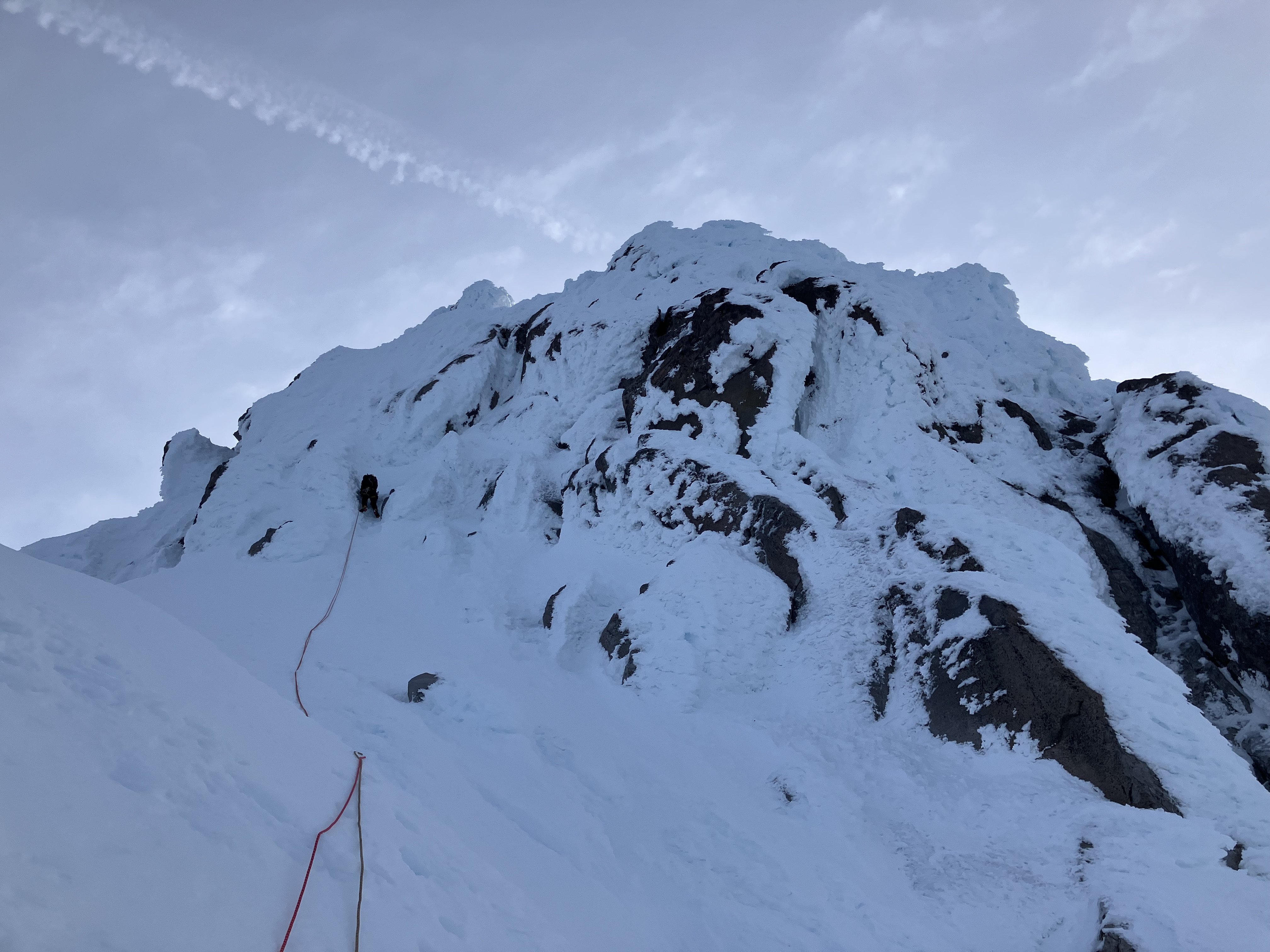
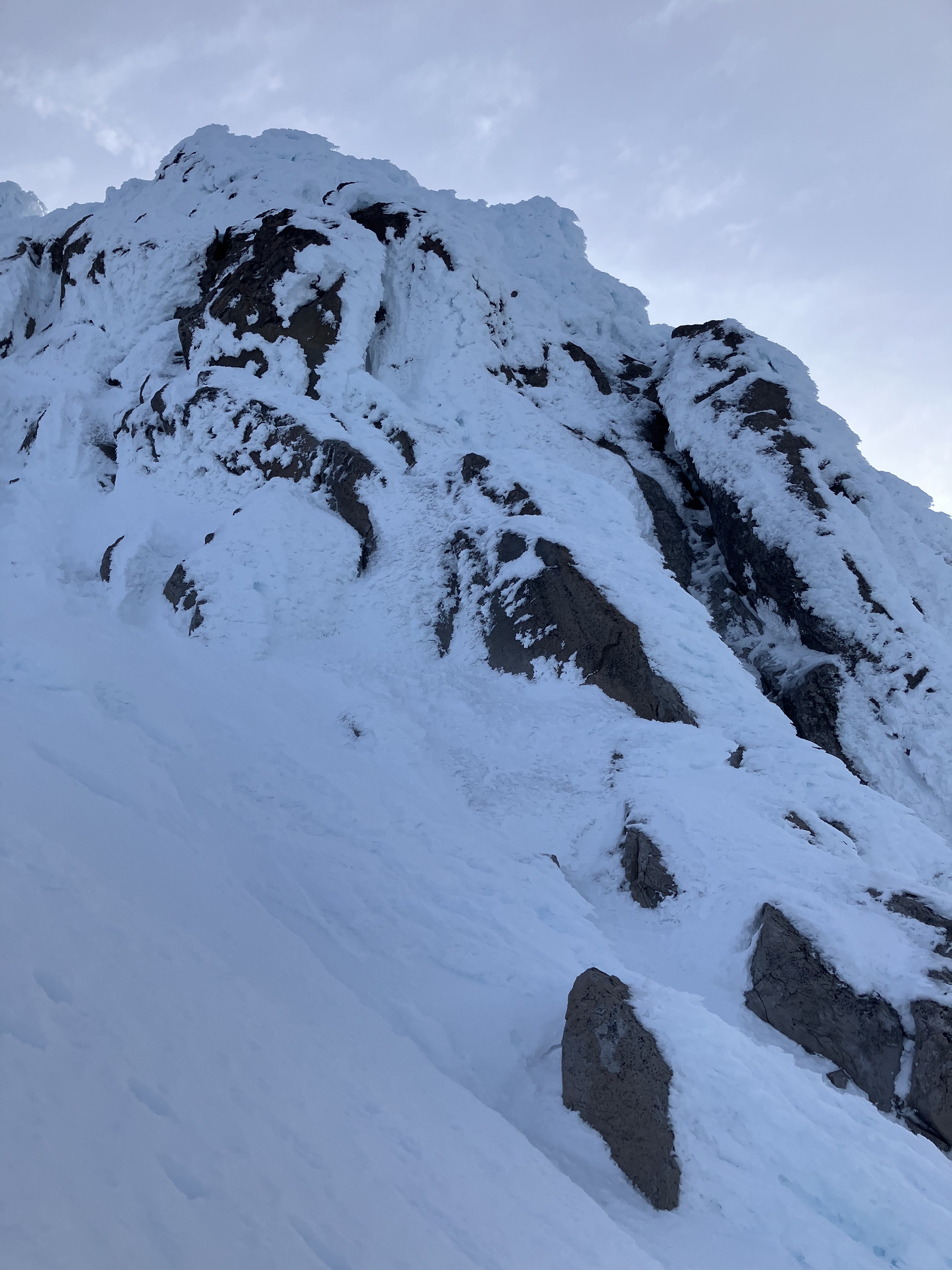
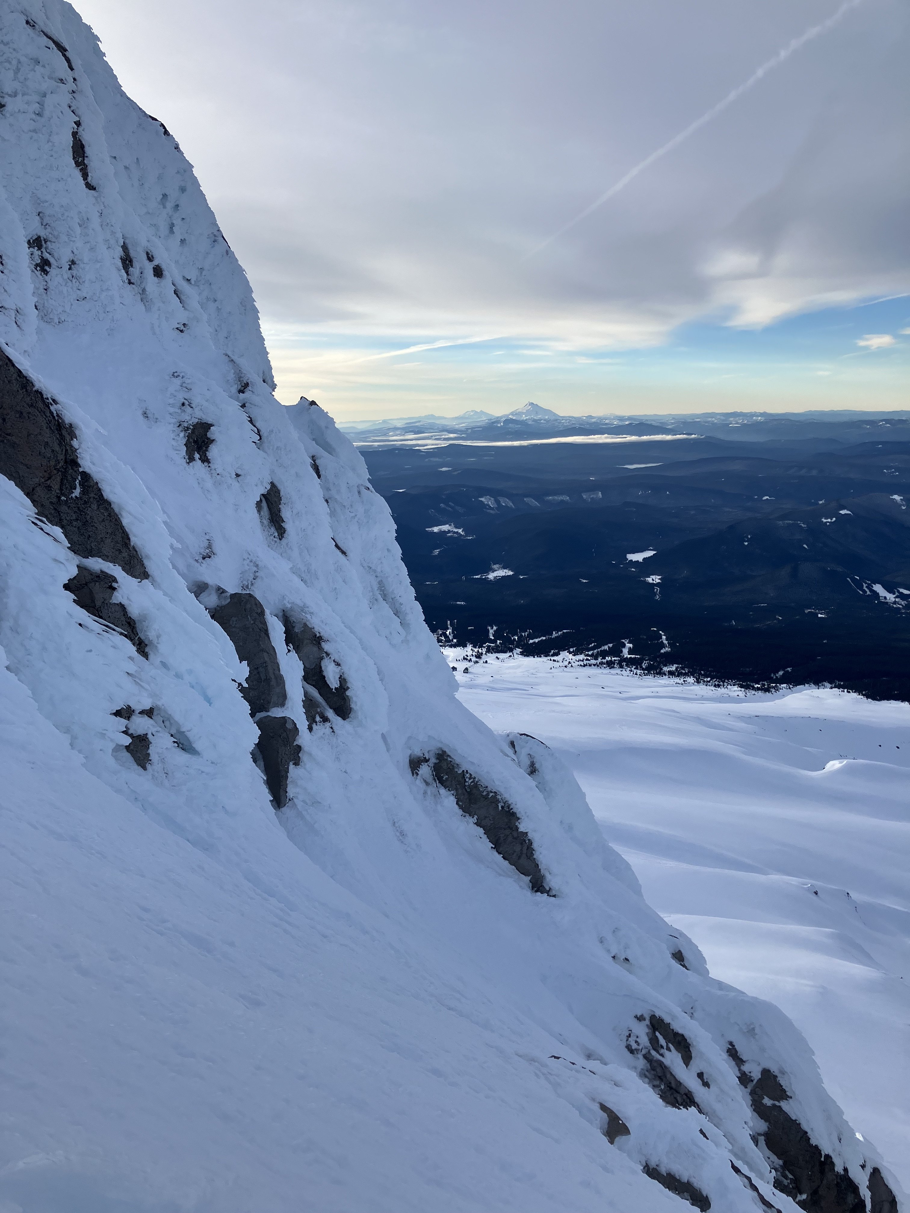
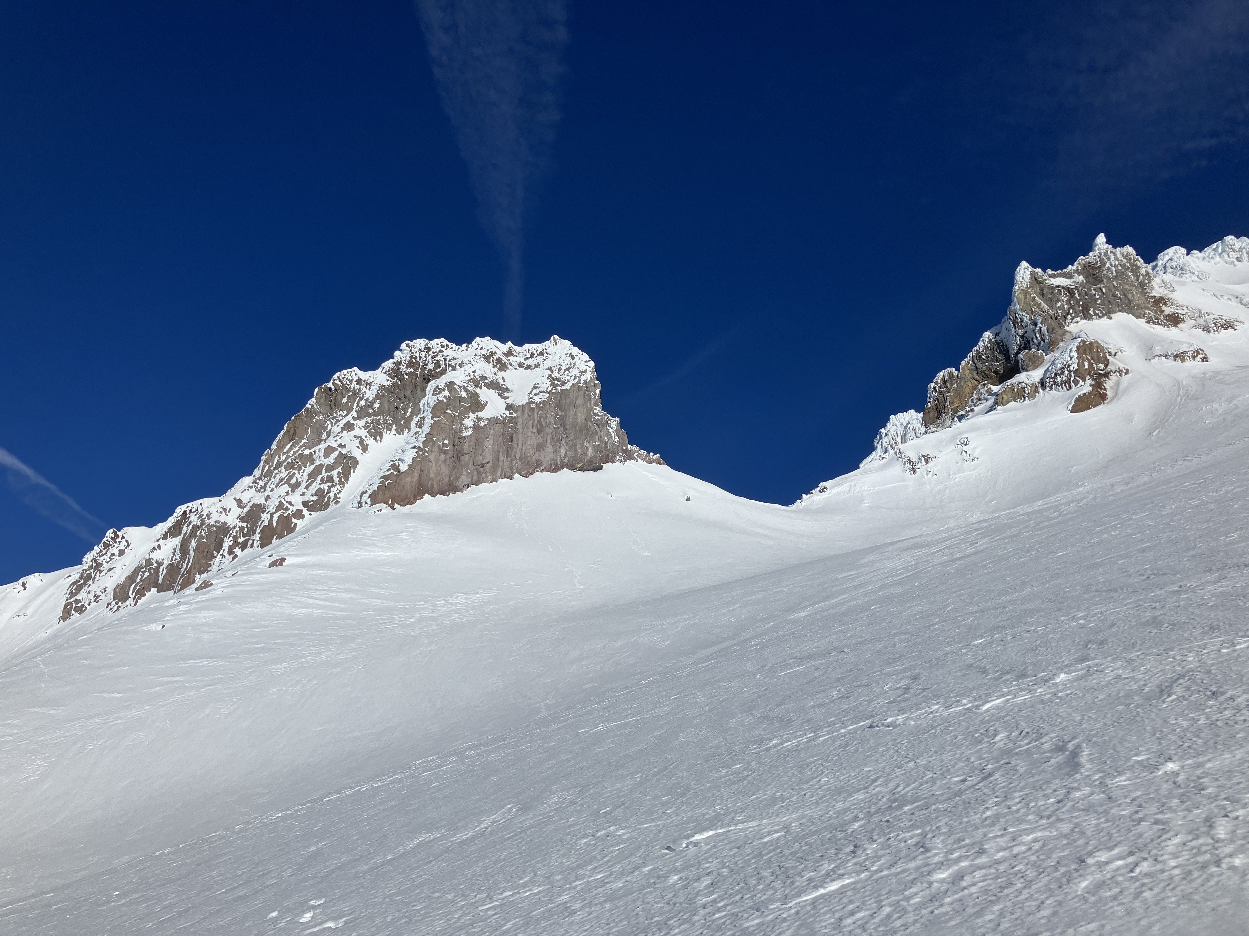
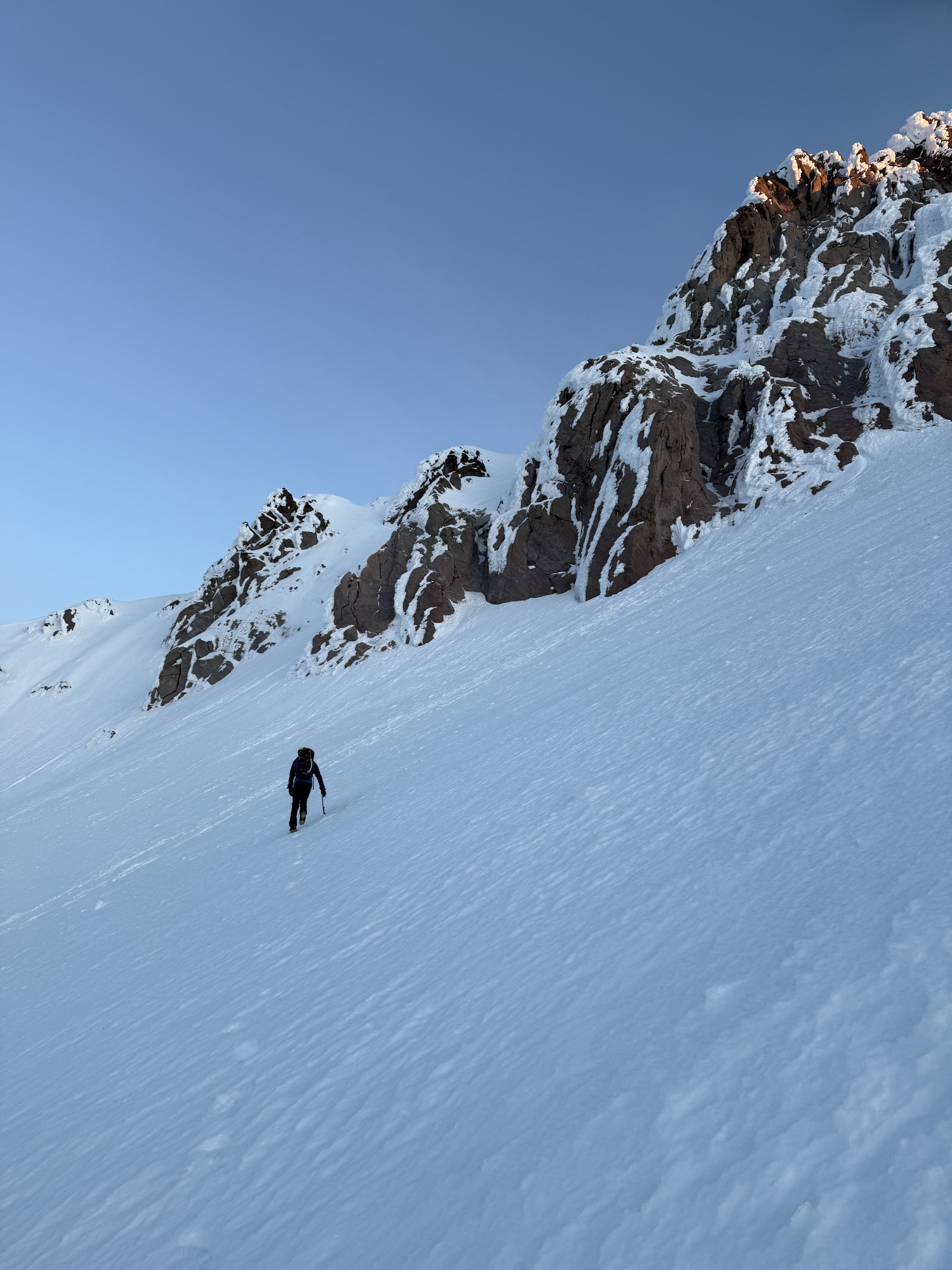
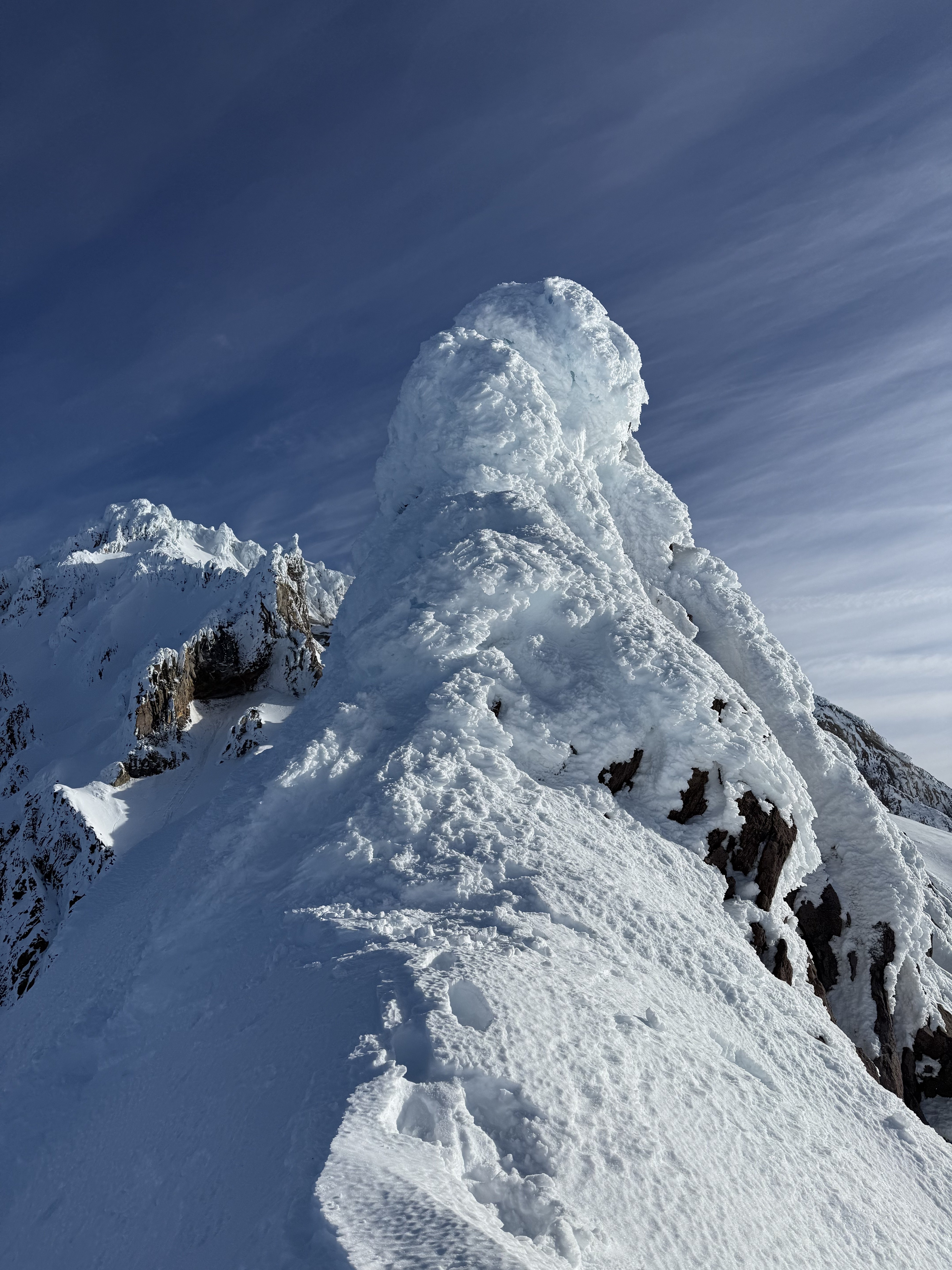
Trip: Illumination Rock - West Ridge Trip Date: 01/18/2025 Trip Report: Damon and I went up the West Ridge of Illumination. We got to the West Gable quite easily but the rime mushrooms along the ridge were uninspiring. Here are some pictures... Gear Notes: Not much was useful. South side routes would take rock gear. Lots of rime on North side. No ice sufficient for screws was observed. Approach Notes: Standard
-
- 3
-

-
The end of a broken ice axe? That or picket would be my guess.
-
Yeah, like Jason said: July will not work, you can't land a ski plane on the glacier in July and need a heli which triples(?) the price and the hazard and conditions will be pretty f'd. You want late April to late May. June works if you're going to higher elevation (Denali), but even that season ends in late June.
-
That's a good suggestion. Newton Clark Headwall is listed in the 50 Classic Ski Descents of North America. My guess is that's (directly or indirectly) motivating DFMedia to tick that line, as supposed to a partial line or something less known.
-
I've descended the route and think it would be fine. Granted this is as a person with lots of experience on snow. Obviously your own comfort relative to the conditions you encounter may render a different opinion. Regarding self arresting on the traverse, if it's firm/soft enough you could fall you then the chances of self-arresting are limited. Don't just assume you can stop it. Either have conditions and know-how that you will not fall, or don't do the traverse. Worst case scenario for the traverse should be, it's not in your comfort zone so you back off and still get to tick the ski line.
-
Wy'east is a great way to summit and leaving your skis at the highest point you plan to ski from makes sense. Starting at Timberline is less elevation, Meadows has more prohibitive uphill policy if I recall, you should check. I would think the main pro/con would be getting to ski directly down to Meadows vs having less vertical to gain from Timberline. If you're already bringing a rope then the glacier travel is pretty short and chill in good ski conditions. Check caltopo to see what elevation to cross the Whiteriver if you're headed from Timberline. On the traverse there is no rock or ice that will take pro. Pickets or maybe terrain belays are your only options. TBH I would plan to solo. You will have to reverse it anyway, and the E aspect means good ski conditions might not mesh with good pro options as you return along the ridge.
-
I would not put much stock in the commitment grades, or what is listed on MP. I would look at total vertical gain for the route, number of technical pitches, and skills involved (water ice, rime, glacier travel). For example, Sandy is a ski run most of the season and basically just involves high daggering or kicking steps for 1500' which most competent people can climb in under 90 minutes, but getting there is a pain the butt. Yocum is going to involve a bit shorter approach but the route is going to involve complex and tedious rime climbing and will take many hours regardless of how "good" you are. TBH though, I would focus on Snoqualmie if that is a closer drive. The approaches are not any longer than back side of Hood and there is more interesting technical terrain to choose from.
-
Yocum should not follow N Face R Gully. N Face R Gully is WI and Yocum is rime ice. If your goal is Yocum you should climb mutliple variations on the Reid Headwall first. Some time on Illumination (W Ridge or similar) would be good too. I would go over the top and climb Elliot HW before you climb N Face R Gully, it's logistically easier. RE WA climbs, here is what I've experienced, but as MThorman describes above, conditions fluctuate a lot... Colchuck NEB is mostly snow, if you can climb Cooper Spur or Reid HW on Hood you'll be more than fine. Triple Couloirs stacks up like N Face R Gully... maybe a little harder crux pitches, if it's in good shape. Kautz is more glacier travel, if you can do that and climb some ice + have the fitness you'll be fine. Sunshine route might be a good trainer on Hood, but by no means a pre-req. Baker N Ridge is like a combo of Cooper Spur exposure with N Face R Gully schrund/ice climbing (but the ice is glacier ice so different, usually pretty easy ice climbing if you want it to be). I assume you're closer to Hood if you want to focus on it this much?
-
This is one of the better surveys I have seen posted on this site. I still think it misses some key points... Hypoxic training systems frequently rely on pumping out O2 but leave the other gases. At altitude the overall pressure is less, which creates the hypoxia. My understanding is that the pressure is more important than the amount of O2 available for adapting to altitude. Last I read from people who know more than me, was that pumping out O2 was not very effective, thus I don't put much stock in this. Makes me curious to go scroll through pubmed etc. and see what the latest thinking is.
-

Libtards on Parade: Alcoholism, Corruption, Murder
bedellympian replied to Fairweather's topic in Spray
Link: FBI Press Release Quote: "This Russian activity is part of Moscow’s broader effort to raise unfounded questions about the integrity of the U.S. election and stoke divisions among Americans, as detailed in prior ODNI election updates." But the FBI is just liberal propaganda, because that's what you say for "anything we disagree with or doesn't fit our worldview." It's a two way street I'm afraid. And there is a difference between donating to a PAC for documented campaign expenses as any American can do (not that I think it's fair how much any billionaire can spend or agree with the amount of $$$ in our elections) vs. Musk firing thousands of moderators at X and throttling websites he disagrees with to drown out alternate view points. If "The solution to bad information is good information." then I guess he thought he'd just get rid of the good information. So much for "setting the truth free" as he so eloquently fibbed. Link

