Alisse
-
Posts
456 -
Joined
-
Last visited
-
Days Won
35
Everything posted by Alisse
-
Beautiful shots!!! All the peaks dressed up in their finest white...
-
Snow snow snow!!! Anyone been up Jolly this winter? How is that Sno-park? (Will it be outrageous on a weekend/holiday?) Some info online and in the books, but it's more fun if you can share your story and pics!
-
Looks beautiful! I had to look hard to find Don on runout slab... ?
-

[TR] Hidden Lake Lookout - Winter Route #2 02/10/2018
Alisse replied to TorreyMoreno's topic in North Cascades
Great trip report, nice photos! Keep those TRs coming! I wouldn't be so quick to assume the worst about the lone snowshoer! -
That's really great to hear. I ran out of one part of Aquamira on a trip last year, didn't have extra fuel to burn, and was pretty concerned about getting giardia. I was selective about the water I drank but it was probably just good luck that (to my knowledge) I didn't pick any bugs up. I was going to post a photo of my partner drinking straight from a lake with a SPEED CUP but I don't think he wants his photo here.... He didn't filter or treat any water at all last year and didn't get any symptoms of anything amiss. He's had giardia before, so I guess he knew how the world would sparkle if something did happen.
-
What's record for number of Tooth ascents by one person?
-
Hello! I have little aid experience, but I was just wondering how you found CascadeClimbers. Google?
-
That trailer... Wow! ... Why weren't they wearing helmets? It must be a joke? Maybe?
-
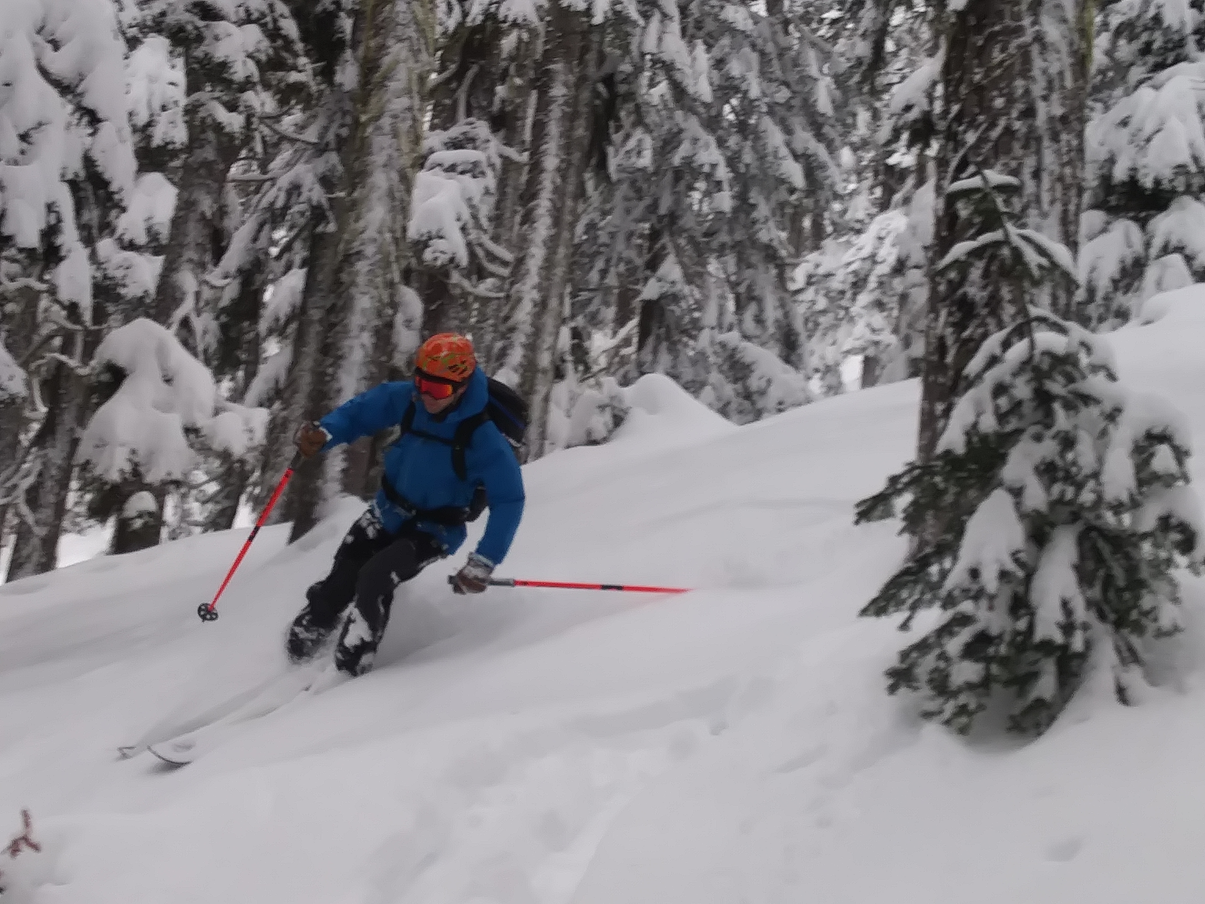
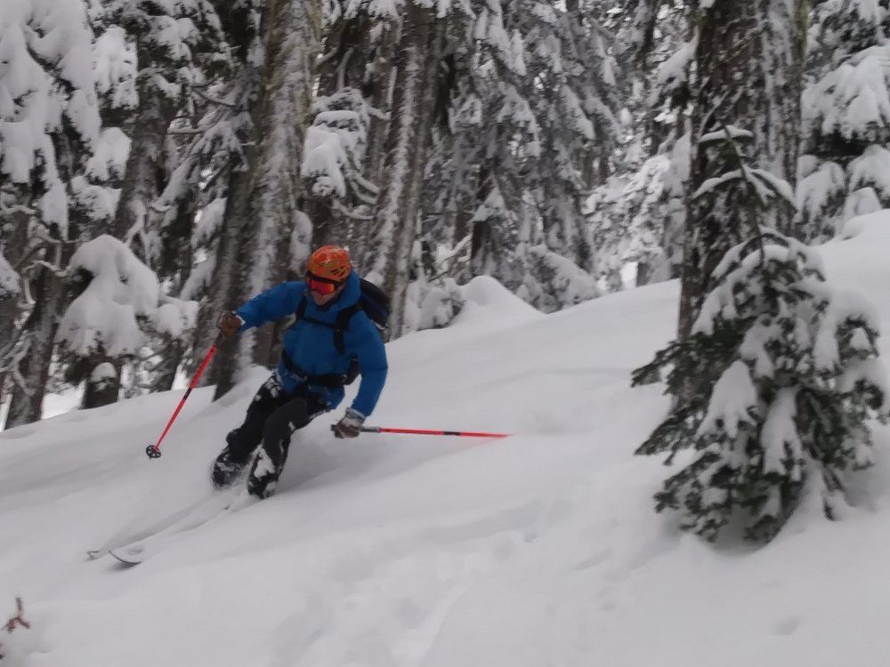
Great day out there today. Lots of fluffy snow everywhere!! Not a lot of people, either.
-
Did you go check it out? What did you find? (I guess this belongs in Oregon trip reports) I hope you had a good time!
-
I want: OK snow OK weather No more than 2.5 hours from Seattle Where?!
-
? definitely! My goals #6 and #7 were intricately linked, hopefully you understand ? PS Many of best friends and best climbing partners have been cis dudes.
-
Happy New Year!!! Thank you for your work on this site and the invaluable and hilarious forums, Olyclimber! And to you, JasonG, thank you for all of the inspiring and wonderful photos you always include in your trip reports... My goals: Post more often here and on the TAY forums! Not die in an avalanche, car, or bike accident Do more yoga to keep the ol' sciatica in check Improve my skiing form and transition time Climb the N Ridge of Baker, then ski the Coleman-Deming Make a concerted effort to lead trips with less- and similarly-experienced people to get lost/improve my routefinding skills Climb and ski more often with other women/people who aren't cis men Go to more hot springs Go back for a third Oregon Volcano Fest with Andy and carry it into California to ski Shasta and Lassen Lose fewer socks (I wanted the guitar-playing one but this'll do.)
-
I know you can rent it from Scarecrow in Seattle...seems like Darrington may be more convenient for you, though.
-
I don't feel very motivated about writing this, but I told some guys we met on the way in that I'd write up something... Last weekend, Joe and I went to check out the Gerber Sink on Dragontail, but after talking with the two parties coming out and then seeing it in the evening, decided on Triple Couloirs. "Be prepared for long runouts.. good thing you brought pickets..." Yes. We brought pickets..screws...pins...rock gear. Heavy packs! Approach was pretty uneventful, stashed our road shoes and switched to our boots once the snow got deeper and more consistent, about 2 miles in from the gate. We speculated about when the road would open and what all the Enchantments permits holders would say! Walked across the frozen lake and camped on the south end in chilly yet calm conditions, good stars out! Lots of snow up there! Unconsolidated snow, seemed more like March than April. Unsupportable crust with 1.5-2'ish of powdery/sugary snow beneath. The direct trek up to the base of the route was ridiculous -- took us three times as long as we expected, post-holing our way up. We weren't stoked or fit enough to hurry on up the nearly unprotectable slog/wallow in deep snow and also feel good about the sunny forecast/avy conditions for the way down Aasgard. So we turned tail and hiked out. Ah well... it was a good fitness camping trip!
-
We did not get it back. I'm pretty sure someone was exceptionally stoked to booty it. Fair 'nough!
-
[TR] Depot Creek- Moxes, Custer and Rahm - Standards 7/23/2016
Alisse replied to JasonG's topic in North Cascades
Beautiful photos, great set of introductory sentences, and overall fun TR to read! -
Trip: Cashmere Mountain - West Ridge Date: 7/10/2016 Trip Report: With a good chance of real precipitation, Andy and I decided to hike/scramble Cashmere Mountain off the 8-Mile Lake trailhead on Sunday. We went over Blewett Pass and as we rolled through Leavenworth, the rain was coming down onto puddled streets. However, when we got to the trailhead around 8:30am, there were only intermittent spitting drops. The hike in was pleasant and uneventful. Andy did it in Tevas and didn't put on boots until we reached the ridge. The trail is in good shape with a few spots of the brush encroaching on the trail, so we didn't get too wet. Beautiful area! It would be even more beautiful on a clearer day! As we gained elevation, up through burned forest, we got to experience some great wildflowers -- mostly lupine and indian paintbrush. Andy was extremely happy. FLOOOOWERSSS! The views on the ground made up for the lack of views out far away, as the clouds were very low... we had discussed taking the more direct variation off-trail on the south slope, but with probable low visibility, we decided we'd probably stick to the standard ridge walk. Once we got to the ridge, the wind picked up and we could see ..not much. Very low visibility! There were a few patches of fairly flat snow that were fine to cross without traction or getting out the axe. No issues with moats, etc. There is a pretty solid path and then several cairns (but not too many) and we found our way to the summit without much difficulty, around 1:00pm. Fun little scrambling bits and no views at all, totally socked in. We actually weren't completely sure that we were on the true summit until Andy spotted the USGS marker thingy. We couldn't find the summit register. On the way down, we somehow got down the wrong ridge/drainage and ended up on the northeast side of things, with some steep/stiff terrain behind us. I think that we came down on the north side of the west ridge (the route does come onto the north side for a bit), and then were turned around with the increasing visibility and kept going, crossing another ridge/drainage to the northeast. Instead of trying to get back over onto the southwest side of things, we decided to follow the drainage we were in (unnamed, east of Lake Victoria) toward the northeast, down to Icicle Creek, see if we could cross to the road or bushwhack along the creek to the bridge, and then walk or hitchhike back to the trailhead. I'll just say that the bushwhack down 5,000+ feet of elevation was fantastic, that I love slide alder, and I'm happy to report no puncture wounds. It was really beautiful to be there, with a much more wild feeling with no trails, finding our own way and not knowing if our route down would go. We wore our helmets the entire way FOR EXTRA SAFETY. When we finally got down to the Icicle, we opted not to risk fording it (we found some calmer but deeper sections that looked enticing) and continued bushwhacking and following goat/game trails all the way to the bridge. A very kind and badass group of three women who were going back to Car #1 after an Enchantments traverse gave us a ride to our car -- THANK YOU. Our car-to-car time was still under 12 hours, which we had seen in a few trip reports from people who descended the "right" way... My own lessons: - pay more attention on descents, particularly if the ascent is in very low visibility - make sure one's GPS device is charged...(I had my InReach but its battery was completely dead -- not sure how that happened) - (Obvious) make sure you have a quality map (I had taken pictures of the maps but they were not sufficient for route-finding -- we did have compasses though, and Andy's phone worked as a GPS) Approach: FLOOOWERS! Ridge: Scramble: Descent, as the weather improved.. A good day. Gear Notes: We brought crampons and axes but used neither. I wore approach shoes and they were fine for the snow.
-
[TR] Mt Adams - Mazama Glacier (solo) 7/1/2016
Alisse replied to ShadowTiger's topic in Southern WA Cascades
Awesome! Good amount of detail, and it's great to read about thinking about risk assessment in a trip report. -
I'll just throw in my two cents for another perspective -- my partner and I climbed the West Ridge and the Beckey Davis routes on Prusik last weekend. We felt fine going over Aasgard in approach shoes and a trekking pole. We also rapped with a single 60m rope and did the 15' of 4th class downclimbing then walking to the one of the stations, as Brian Maher mentioned. To avoid that, take the second rap station to skier's right on the first rap off the summit. After the raps, the snow was definitely steep but quite soft (and between our two climbs/two days, the melt was noticeable) and we used the static line to go skiier's left/west/back to the base of the west ridge route. The static line is wrapped and tied around a block on one side and it's knotted and jammed in a crack in a block on the other -- not bomber IMO. From there, my partner and I scrambled up and then were able to stay on rocks (2nd/3rd class) back to the base of the West Ridge route. The bit of snow traverse that we had to do was OK for us to do carefully -- we didn't feel that traction or poles/axes were necessary for us.
-
Thanks, both of you! And it was very ironic to see you at the beginning and end of our trip, telemarker! keenwesh, thanks! I definitely suspect that wailing on it would have done the trick; however, I wasn't in a position to get my hands on anything big/solid enough to hit it with... some time/light constraints prompted us to continue upward. Good to know, anyway!
-
Don't worry, we didn't get it stuck in the OW pitch....
-
17 hours car to car, that's awesome. I won't mention our times... For anyone reading this -- Joe and I climbed Dragontail via Backbone Ridge on Thursday, June 30th. It was his #6's maiden crack voyage, and it got stuck about halfway up the route. If you return it, you will be GENEROUSLY COMPENSATED and REWARDED! I know it's a long shot, but if you have it, please let me know. Thank you very very very much in advance.
-
Joe and I climbed Dragontail via Backbone Ridge on Thursday, June 30th. On its maiden crack voyage, his #6 got stuck about halfway up the route. If you return it, you will be GENEROUSLY COMPENSATED and REWARDED! I know it's a (very) long shot, but if you have it, please let me know. Thank you very very very much in advance.
-
Joe and I climbed Dragontail via Backbone Ridge on Thursday, June 30th. On its maiden crack voyage, his #6 got stuck about halfway up the route. If you return it, you will be GENEROUSLY COMPENSATED and REWARDED! I know it's a long shot, but if you have it, please let me know. Thank you very very very much in advance.