Jump to content

Alisse

Members
  • Posts

    432
  • Joined

  • Last visited

  • Days Won

    34

Everything posted by Alisse

  1. Damn, @Michael Telstad!! Thanks for this exciting read. Love the northern lights photo especially and all the details, "6/10" 😂 Nice work coming home in one piece! ..and with all the skis!
  2. Winter has arrived!!! 🥳🥳🥳
  3. Was this meant to imply it won't open before November 12? They've kept the gate closed Friday, yesterday, today...
  4. Love that area, glad you were able to get up there ♥️
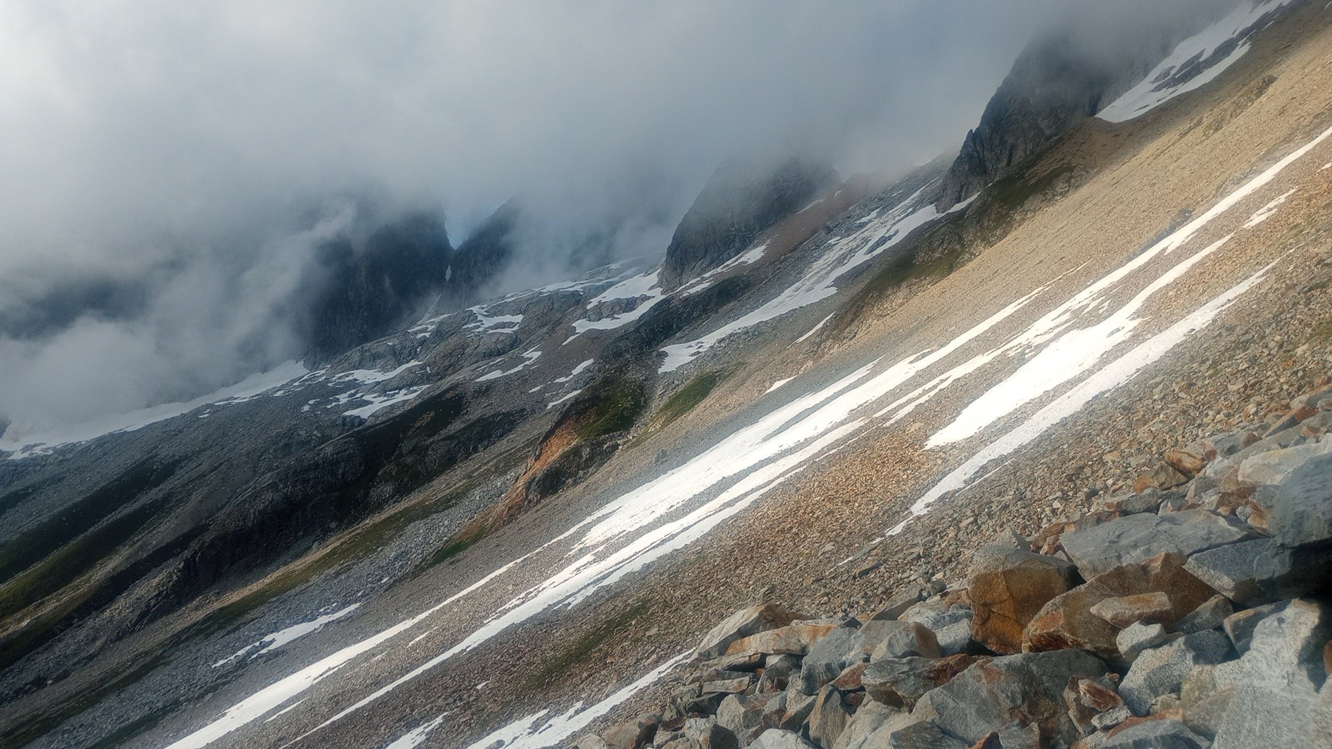
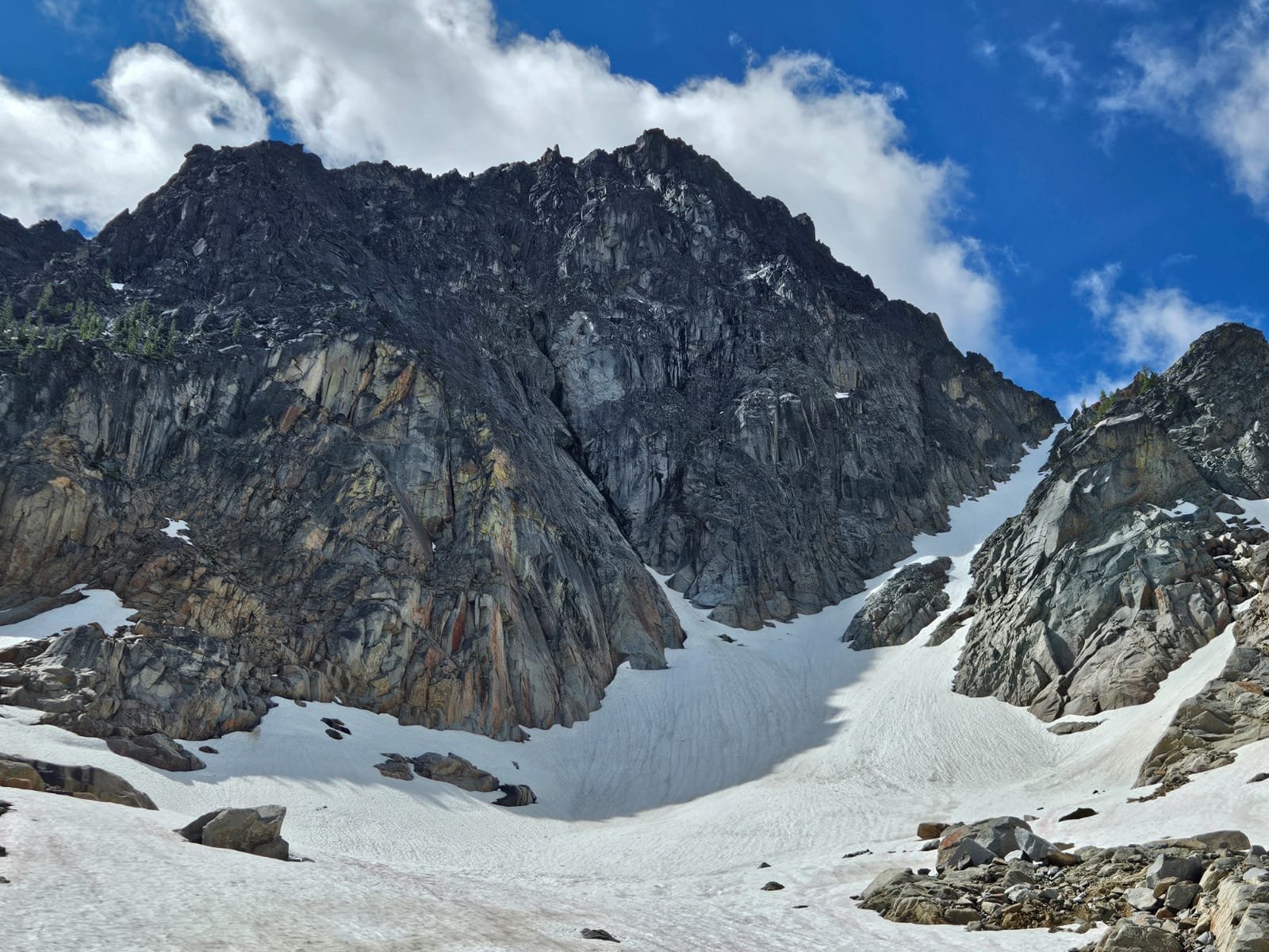
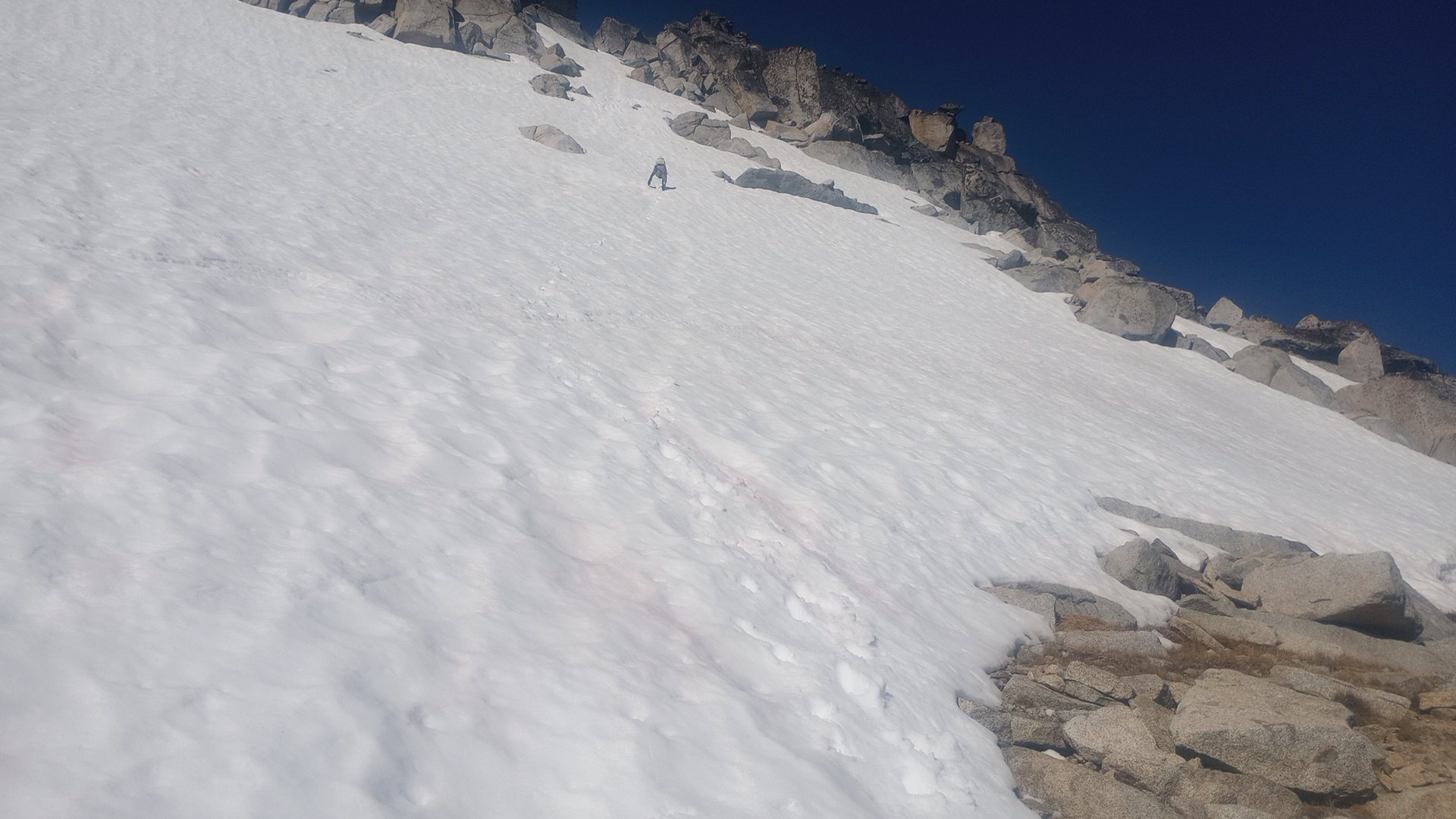
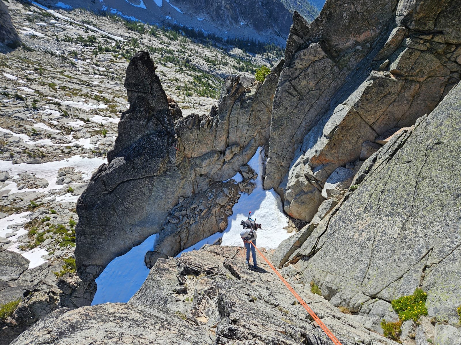
  5. Had you already been up the other three Bulgers next door?
  6. @JasonG happy for you to have been able to get out so much this summer! I wish I could have reacted with a "love" for this TR. Excellent story and glad you walked out safely.
  7. Good job making it out safely!
  8. Dave said, "we occasionally work on those -- bring em by." Thanks again, @Rad!
  9. That's a great climb and a unique area! Nice work, glad you got lucky with the toaster sized flake 😱
  10. Well, you're a special case! Let me know if you have any specific questions!
  11. Great idea, @Rad! I'll give them a call.
  12. Hi all, does anyone have a recommendation for where I can get my leather ski gloves repaired? Local or not. Rainy Pass doesn't do them. Thanks in advance!
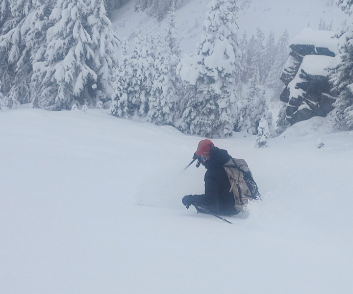
  13. Hi Sky!!! So fun to read this. It was lovely meeting you two!
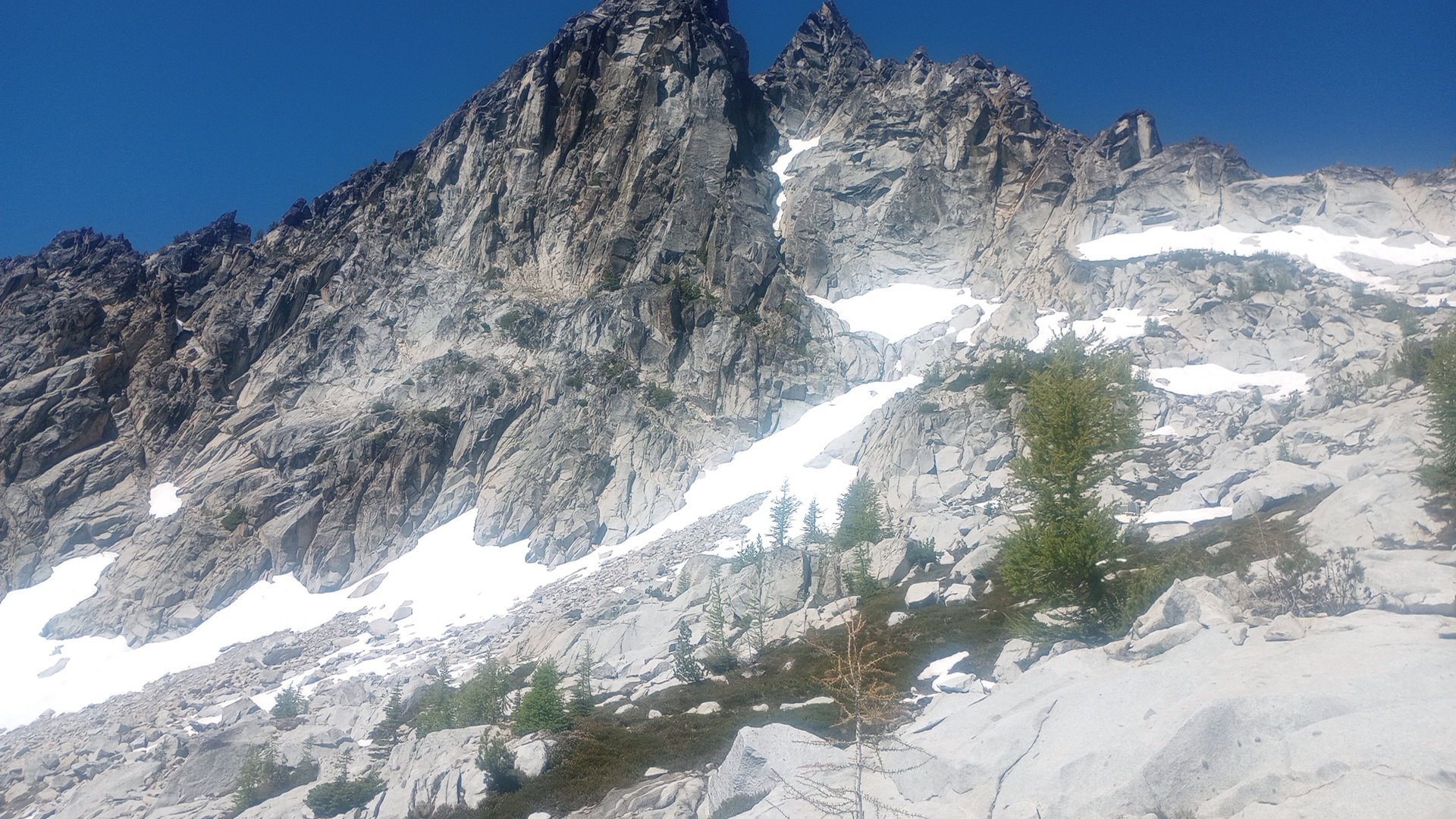
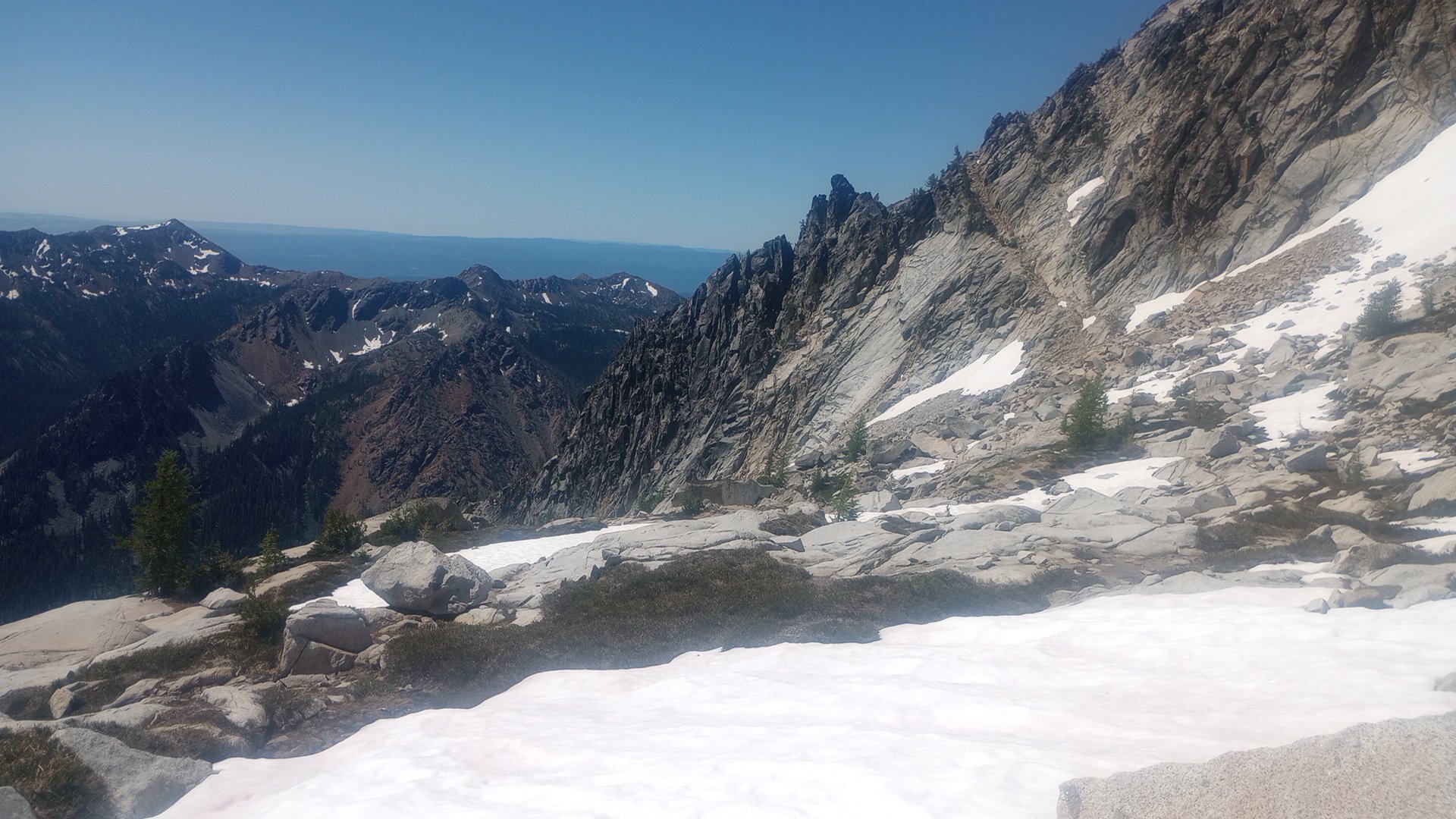
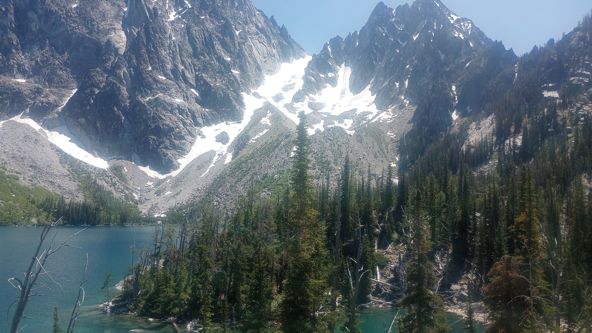
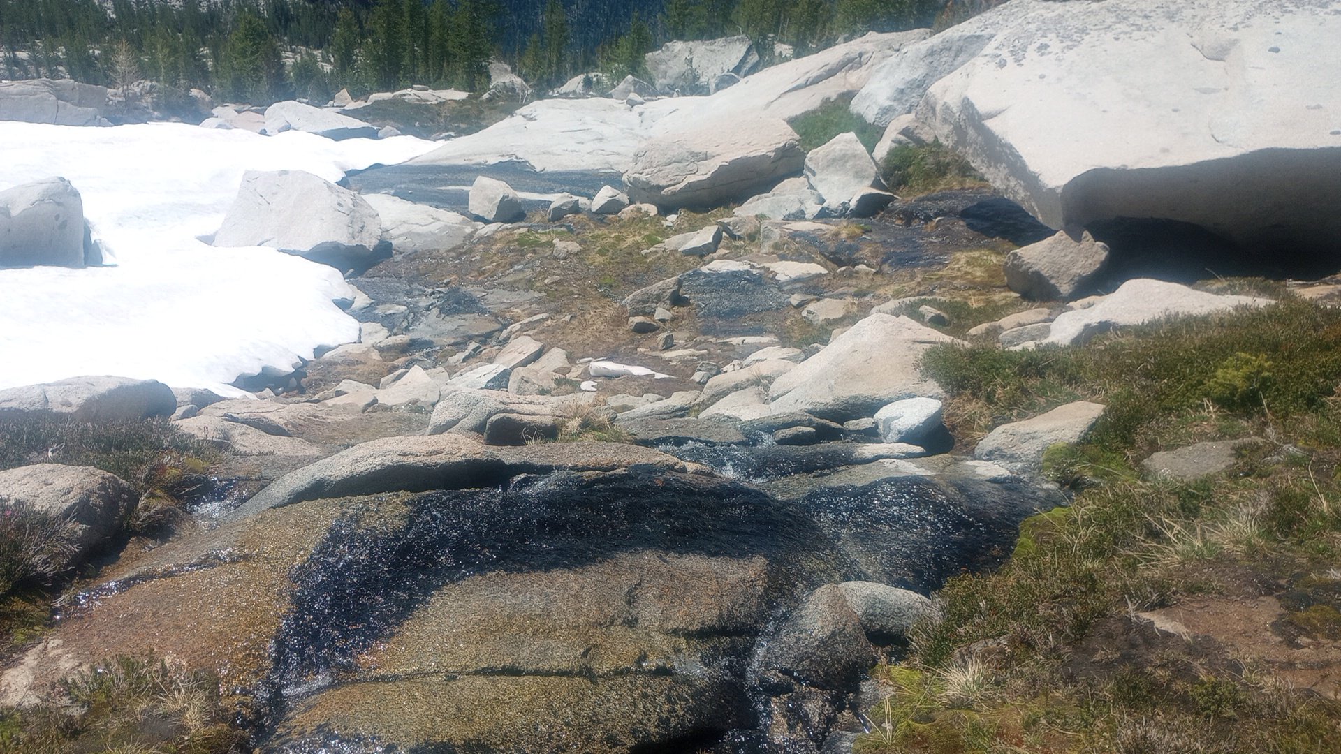
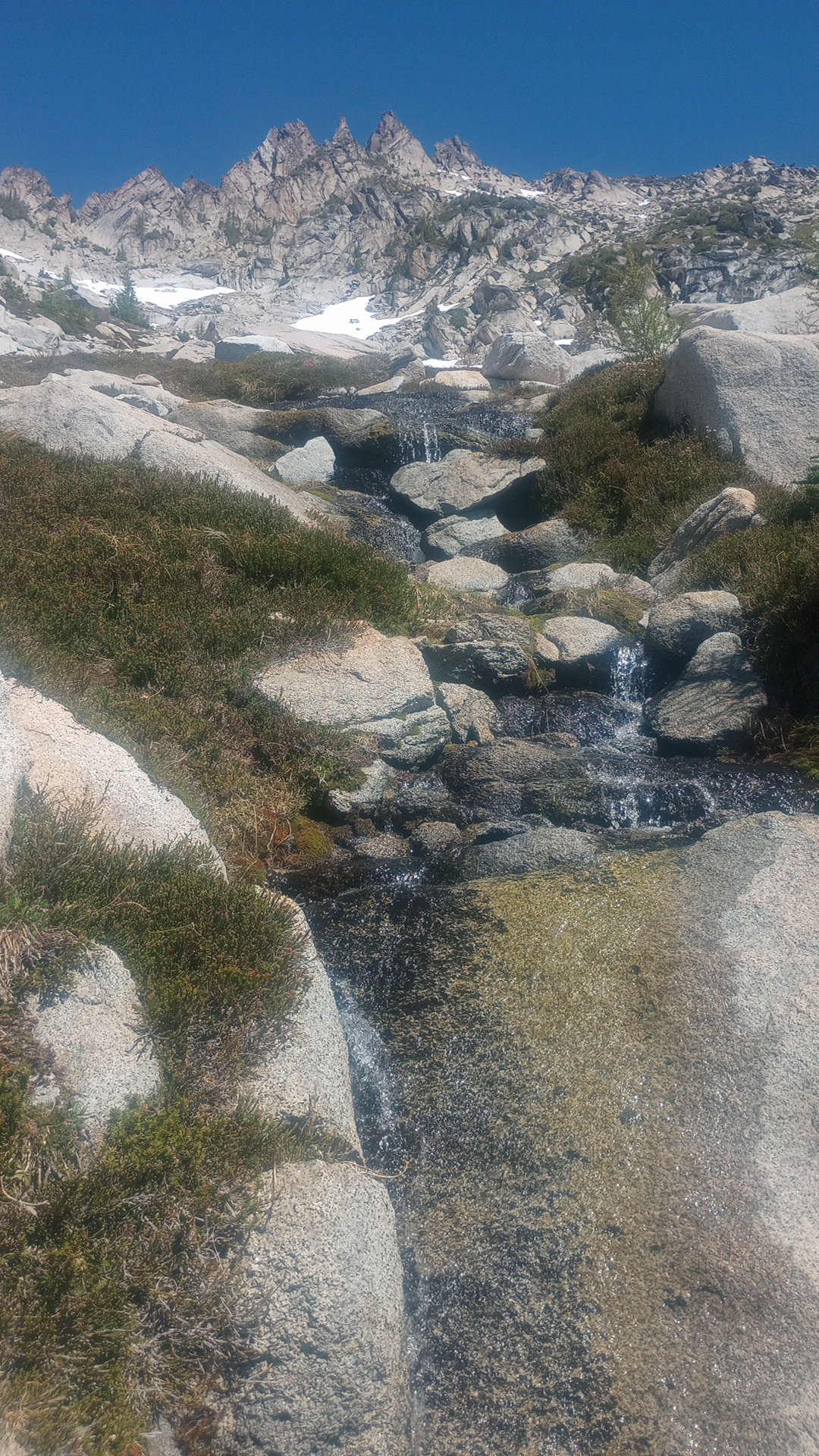
  14. Trip: Lemah Mountain - via Pete Lake (3rd class) (bike approach) Trip Date: 08/31/2024 Trip Report: I used my five-day Labor Day weekend to bike from my house out past the Pete Lake trailhead to climb Lemah and bike home. I really dislike sitting in traffic, and I like riding my bike, so it made a lot of sense! This was a soul-fulfilling trip with lots of time and space to think, not think, observe, and move across the state and up to the top of a really awesome peak! I won’t bore everyone with ALL the bike details, but here’s my VCB (very capable bike) before leaving home. Ready for adventuring! Day 1 - 9:30am - 3:30pm: ~60 miles by bike. Home to Carter Creek camp on the Palouse to Cascades/John Wayne/Iron Horse trail. Started eating a lot of snacks! Talked with fellow bikepacker Craig from Chinook Pass at camp, he looked at my bike and asked what the ice axe was for. He told me about going into the Stuart Range 30+ years ago, “You could camp ANYWHERE back then!” No going back to those days… Day 2 - 6:45am - 7:30pm: ~55 miles by/with bike, ~2.5 miles on foot. Woke up to my brain singing something I hadn’t heard in probably like 25 years: “Are you ready for some FOOTBALL?” – weird stuff! Soon I was pedaling along the trail singing something like, "Heyyyy wild kitties, today's not the day, leave me alone, I don't wanna play.” Stopped when a Douglas squirrel was harassing me from the side of the trail (a common thread throughout the days) and watched it turn a pinecone over and over in its little hands, gnawing and letting the scales fall away, eating the nuts, then discarding the little corn cob. Amazing! Through the Snoqualmie Pass tunnel, turned north in Easton. Had an unexpected cortado at an espresso stand and resupplied at the gas station, then started up the road leading to (kinda chunky, kinda sustained steep, grindy grindy) forest service road. Finally, doing some real elevation gain! Left some mountain bikers in the dust after asking if I could join their bike gang for the climb. Sorry guys! But then I got to the 2.5 miles of black diamond MTB territory heading north. How do people bike up stuff this steep, and narrow?! I hiked my heavy-ass bike about 97% of this, both uphill and downhill. I knew it would be a lot of HAB for this section, but it was steep and dusty and narrow, full value HAB! Happily, there always seemed to be tons of giant delicious shiny mountain huckleberries whenever I really needed the morale boost. After that, things got a little better with four miles on No Name Ridge which is supposedly a blue square trail – maybe old skool, sandbagged blue square? I liked this Trailforks report: “Do you like pushing your bike uphill, nearly, seemingly, endlessly? Then this is the ride for you!” Definitely rode more than 3% of this section, but still – a good amount of HAB. However! Most of this was on the ridge, so stellar views abound! Lemah, Chimney Rock and Overcoat, The Chiefs, Bears Breast, Hinman, Daniel, and Cathedral Rock! (Stu, too, but out of the frame.) And there were actually some really good flowy sections with nice trail. Stopped and watched/listened to a couple of grouse (maybe mom and one juvenile?) traveling along talking to each other. After what felt like a very long time, I reached the end of the climb and the gravel descent down to Cooper River was AWESOME, smooth and fast. Soon I was at the Pete Lake trailhead filling out my little ALW permit and continuing onward on my bike! You can go about 2.5 miles until the ALW boundary where I made the transition to backpacking mode and stashed my bike in the woods. From there I quickly made my way to Pete Lake (about 2 more miles) and found a truly stellar somewhat secret campsite and settled in for the night. Day 3 - 6:30am - 7:45pm: ~13 miles on foot. Lemah! This was an interesting route that included a lot of slab walking, waterfall slabs, tarns and amazing views everywhere. Beautiful start when you start on the climbers’ trail, next to waterfalls and pools of Lemah Creek. I had to do a little extra gain to get this photo, but you can see the route -- along the right side of the marshy area, up the gully, up most of the snow finger, then traverse across, below the second ridge-toe, then the scramble up to ridgeline, along the ridge, and then up the main summit! Whinnimic Falls on the left: The B2 schwack was not that fun, but could have been worse. The gully was Not Fun. It's a cool canyon, memorable feature, but so much churned up, unsettled rock and sand and all the rest. Going earlier in the season seems like a smart and fun snow climb (bring the skis). I took the snow finger up to around 6100’ and then crossed a few some other snowfields (but could have stayed off if I wanted). I was really happy that there were no real issues with the snow – no weird moats, no difficult transitions, no blue ice that I had to go around or anything. I only saw a couple patches of bare ice and a couple of holes, but I didn’t need to go anywhere near them. And none of the snow was very steep and it was all soft enough for the aluminum crampons on my trail runners (glad I had the axe). Lucked out with the freezing levels being so high during this time! Fun slab walkin' (view of Three Queens and Chikamin I think): Lots of solid and enjoyable scrambling in the upper parts of the mountain (lots of options for 4th class if you wanted it): Final scrambly bits to gain the ridge: : Summit views were incredible! Right next to Chimney Rock and Overcoat. Seeing Burnt Boot Peak, Big Snowy, Chikamin, Huckleberry, Thomson, Stuart, Baker, Shuks, Tahoma…Really amazing. Also, lots of flying ants on the summit! Maybe a reproductive swarm of western thatching ants? For the down-scramble, I had Mista Dobalina stuck in my head. I saw a pika pretty close up, then a marmot pretty close up, lots of grasshoppers. On the way down the gully, I was surprised to see a couple coming up. They were planning to do a loop, not climb anything. I said something about “So is this the obvious gully?” and the dude didn’t get it. Awk. Toward the bottom of the creek where things start to level out, saw a couple of those water birds that do the little squat dance (American Dippers or water ouzels). Amazing birds! And lots of huckleberries again, even a few thimbleberries that were still pretty good. I was going to see if I could bypass all of the alder by just wading through the ponds. Unfortunately the water started getting too deep but for a very serene six or seven minutes I was just wading quietly in this really nice clear water up to about my waist and it was awesome, lots of tall reed-like grass around me, I felt like a water creature. If I had had the ability to make my stuff waterproof I would have loved to have traveled by water and bypassed the schwack. The water was cool and refreshing; a really special moment. Later, closer to the actual trail, I ran into another couple of people. Emily and Sky. They were super friendly. Maybe 10 minutes after that I ran into another couple of people! Both parties were trying to camp up on the beautiful domes above the creek. Day 4 and about half of Day 5 were biking home. Pete Lake trail was more fun on the way out, and then there was an amazing paved descent down to the Cle Elum River valley (shirt dip), an experience of culture shock when I rolled into Roslyn’s Sunday farmers/street market (so loud, so many people), super hot riding the trail back westward (another shirt dip in the Yakima). When I stopped in Issaquah to see if I could see any salmon, I saw two making their way up the creek! A great trip! Gear Notes: Light axe, light pons, at least 6 voile straps Approach Notes: https://ridewithgps.com/routes/47332364
  15. F yeah! Congratulations! Great writeup and wow those purple mushrooms are beautiful!
  16. Agree with Jon -- thanks for taking such good photos!
  17. The thinking was just...the person I found on TAY had already walked it north to south and wanted to do it S-N.
  18. Trip: Taste of the Ptarmigan - Hot Southern style Trip Date: 06/22/2024 Trip Report: On Thursday morning, we set out to ski the Ptarmigan Traverse, south to north, over four days, with a Dome summit attempt. I know you have so many questions already.... TL;DR: bailed on the route on the second day when there was no solid overnight refreeze and at 10am we were sliding out while skinning the first major traverse, setting off fair-sized wet loose slides. Longer version: Desperate to find ski partners for a four-day stretch with a good weather window, I turned to the internet. To my happy surprise, J responded positively to my message on the TAY website! We talked on the phone and sussed out each others' experience and skills. I also convinced her that based on conditions I found on a recent ski trip, the Ptarmigan would be in good shape for us. So, we decided that setting out together wouldn't mean certain abandonment in a crevasse or either of us having to act as a guide. Her partner Z would also join. They were both on splits. "Going out with unknown splitboarders is risky business," @Hoo sagely advised, one of my favorite mountain partners (found here on CC!) and a splitboarder himself. After chatting with J, though, I felt confident that these splitboarders had good split-ski skills and it would work out. We left my car at the Eldo trailhead, stashed beers in the river, and got to know each other a bit on the drive around to the Downey Creek trailhead. I could tell pretty quickly that it was going to be a fun trip. We set out at 4am with skis on packs and the trail was fairly fast and easy for the first several miles. Then it got pretty damn brushy. Then we encountered the first of a few giant blowdowns that required crawling under on hands and knees. We turned up the Bachelor Creek trail and gained some elevation and more brushiness. We continued on, following some flagging and up the bypass trail which skips some brush and slide alder; there's still mandatory slide alder (going at probably B2, or B2++ with skis). Soon enough we got to the crossing of Bachelor Creek and came across two giant tents, stuff hanging in trees, and a guy doing some relaxed PT with a stretchy band. Hello! We chatted with two very friendly dudes who were doing a glamping+Dome+Sinister trip. They were combining the comforts of Fireball, a near-complete six-pack, and camp chairs with the masochism of the 75-pound backpacks they had humped up there. Are these guys awesome or insane? Soon we were getting our feet wet in the boggy melting-out trail and then postholing a bit in the patchy snow. And then did some real elevation gain and discussed how, wow, our backpacks probably weigh like 45+ pounds with all our stuff and skis and boots! Finally, up around 5400', we could see more of the route and the continuous snow, and we were quite thrilled to take the skis off packs and start skinning. Unfortunately, as we approached Cub Pass, it was nearly 3pm and the snow was total slop. Sliding out in an uncontrollable way into melted-out heather was demoralizing and a little worrisome; we ended up booting a bit to avoid more of that and continued carrying over the pass and down to Cub Lake (melting out quickly). The next stretch of time included about an hour or so of actual rain and about an hour or so of fiddling with an apparently too-dirty-to-function-correctly stove. Luckily we were able to heat water enough to get our dinners rehydrated. The stove not functioning correctly was worrisome for the traverse; we needed it for water. J said she would clean it in the morning and that would probably do the trick. Glamping Guys (I think Alex and...Adam? I'm sorry if they read this...) showed up -- one highlight was the Trader Joe's bag somewhat strapped to the outside of one of their packs. How it survived the alder, I do not know. I was tired. I knew we weren't setting any records with our pace, but how did it take us nearly 12 hours to go like 11.5 miles? I think I was in my bivy by around 8:30pm... We hadn't discussed an alarm time and there was still this question of the stove. Around 6:30 or so I watched the Glamping Guys head out with summit packs. Our party had slept in a little more than we maybe should have (but didn't make a difference in the end) and J cleaned the stove which did fix the issues so continuamos! After a short and chill bootpack, we were skinning again and ten minutes later arrived at Itswoot Pass. Greeting us was an older couple that we had chatted with the afternoon before at the lake and a second couple -- one of whom says his ... uncle? Grandfather? was part of the original Ptarmigan party, age 18! We look across the way and see Dome, and the Dome-Dana col, and discuss the time, crappy snow conditions, and all our options. We decide to at least get to the col, and we start across the long traverse. It's terrible from the start. Super, super sloppy snow. At one point, I kick off a little wet loose slide and it entrained more snow and runs pretty far, including pouring over a boulder that's halfway melted out. We get to a little rocky outcropping that we have to carry skis over, and we have another chat there at around 6200'. The mountains are giving us red lights; we can't travel safely in consequential terrain and we can't skin very safely or ski very quickly with how the snow is. It just is not what we expected or want for this traverse to go. We make the sad decision to bail from our traverse and head back to the ridge for some kind of plan B. We hang out all day in this beautiful place, watch a few natural wet loose slides come down (one quite large), keep an eye on all the climbers that pass us and head up and over to climb Dome. We hang with the marmots and the pikas in the rocks, build bivy spots in the snow. J has a lot of energy and boots up toward Spire Col about 600' or so and takes a couple of runs. She builds a snow cat. Our plan is to wake up really early and see if the snow has refrozen overnight -- if so, we'll check out Spire Col and maybe do a run down the western lobe of the Dana Glacier? With increasing freezing levels, I am not convinced it will happen, but try to remain hopeful. As the sun sets over the ridge, the three of us head up together and take a run down -- sticky and heavy, but not the very worst I've ever skied. We return to our ridge camp and Glamping Guys are there! They were going to leave the snow cat drinking a nip of Fireball but happily we get to chat and hear about their adventures in post-holing, the looming cornice on Dome, and how far it really is between Dome and Sinister. We really enjoyed chatting and following along with these two and I was so impressed with their smiles and attitudes even after 14+ hours of post-holing! That evening, the full strawberry moon (on the solstice) came up with cool clouds in front -- memorable. At 3:30am the next morning, my alarm went off and I poked the snow outside my bivy fort. Soft. No crust, no refreeze whatsoever. I shuffled over to J and Z and asked for their confirmation and permission to go back to sleep for a few hours. We all agreed: no go. Sigh. We packed up and headed down. The ski out was pretty alright! There were certainly a few fun turns in there. The slide alder was much easier going down. The crawling under the blowdown was about the same. Poor Z's feet were rubbed raw by the end of the trail. Finally we were back to the start and un-did the car shuttle. Sigh. The beers back in the Cascade River were located easily and we finally said our good-byes. Thank you, J and Z, for a memorable trip! Gear Notes: Drugs Approach Notes: Brushy
  19. @strongsexysmart have one for you -- sent you a private message.
  20. Trip: Wahpenayo Peak - West Ridge Trip Date: 02/23/2024 Trip Report: Alex and I took advantage of the beautiful weather and ventured out to an area that I've wanted to visit for a few years: Wahpenayo Peak, in the western part of the Tatoosh range. It was amazing and I will definitely be back! The basin was beautiful and held fantastic cold soft snow on the north facing slopes, we had clear views ranging from the Olympics to four volcanoes to other Tatoosh peaks, and what I think was Tookaloo Spire. The ridge travel was certainly engaging and the mountain let us pass safely to and from the summit -- and not another soul in sight all day! The tour starts at the Eagle Peak trailhead outside of Longmire (no pesky gate concerns) at a whopping ~2800'. We carried skis up to around 3800' and then were able to continuously skin the trail and then it was up the avalanche debris to the saddle south of Chutla Peak; still in the shade, we had great skinning conditions (soft debris but very supportable snow). Some of the first fantastic views Skinning up to the saddle Cool rock feature Other Tatoosh peaks (Lane and..?) Woohoo! Yahoooooo! Alex gets sick airtime With huge smiles, we made our way around and up... we weren't feeling much time pressure so took a sort of roundabout way, fully enjoying the scenery, to the NE ridge that one source suggested as the best (maybe with a ton more snow? ...it might have been easier to have just gone in with no beta for this one). After booting the ridge, using the trees to our advantage and an undercling, plus a short in-your-face steep snow climb, we decided that we'd reached an impassable notch for our gear and headed back down and around to the other ridge. This ridge did not go. That one was also engaging -- decided to go up a short gully after soft shallow snow on heather and rock seemed pushing the limits of what made sense. After a bit of large tree assistance, we were on the summit (6,231')! Amazing views.... From the summit looking west From the ridge looking east toward the summit We headed back down the ridge carefully to where we'd left our skis and skied more fantastic dry snow back into the basin, then headed back up to the saddle, and made a long traverse which resulted in only a short section of side stepping/shuffling to get back to the trail (felt like spring for sure), back to skis on packs, and back to the car, in base layers, vents open, no gloves. Felt so much like a spring day. Special place! I'll be back! Gear Notes: Skis. Brought sharp things but did not need them! Approach Notes: Enjoy!
  21. Beautiful! Here's @manninjo on Sunday above the hordes:
  22. Skiing IS still pretty darn fun, isn't it? My photos can't compare to @JasonG's, of course, but a little farther south, we found some pow pow too, and some sun breaks and better vis than expected! A discerning eye will pick out @Hoo and a magic eye would pick out @aaronohn (not pictured)
×
×
  • Create New...