Leaderboard
Popular Content
Showing content with the highest reputation on 09/09/23 in all areas
-
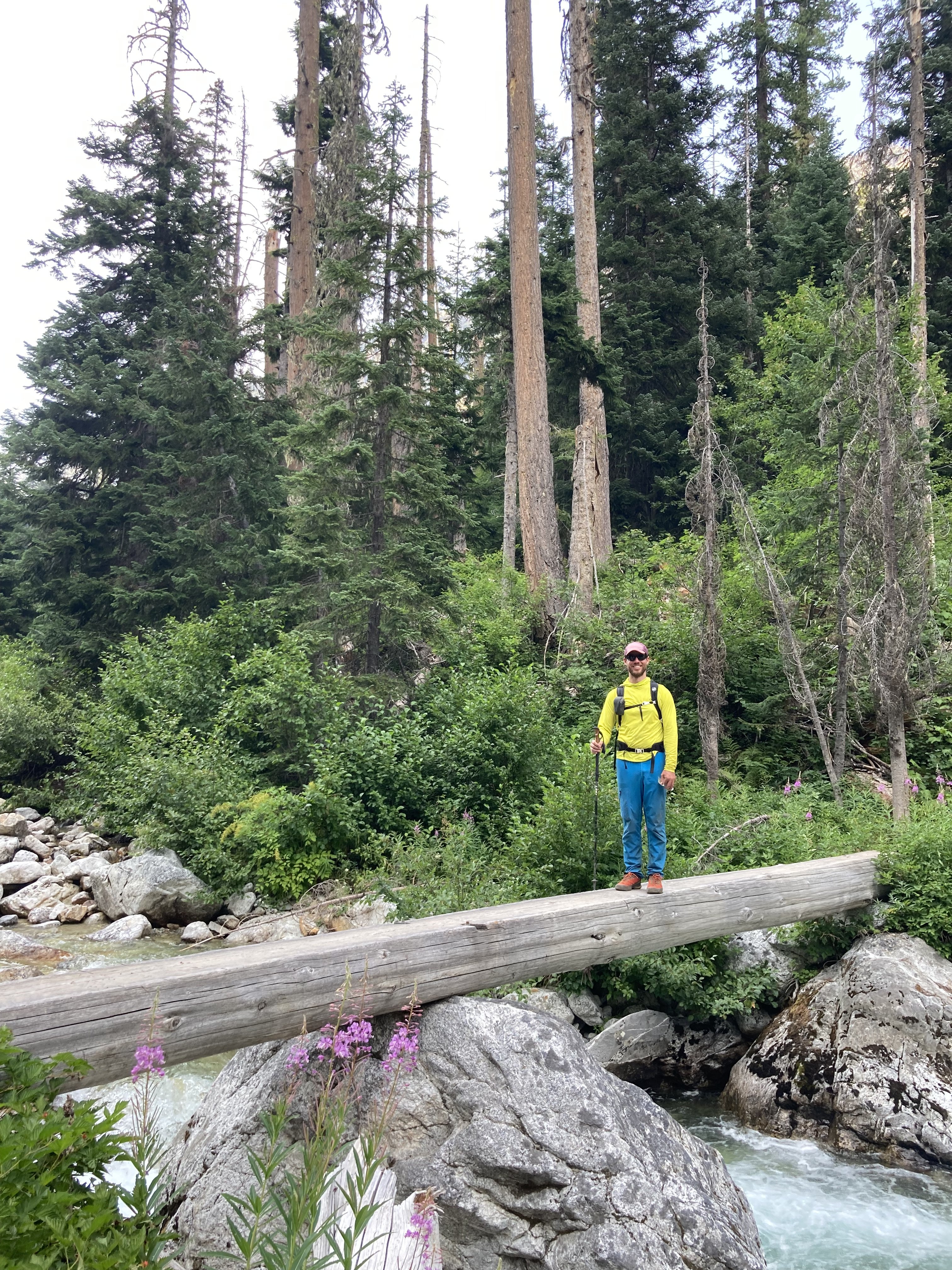
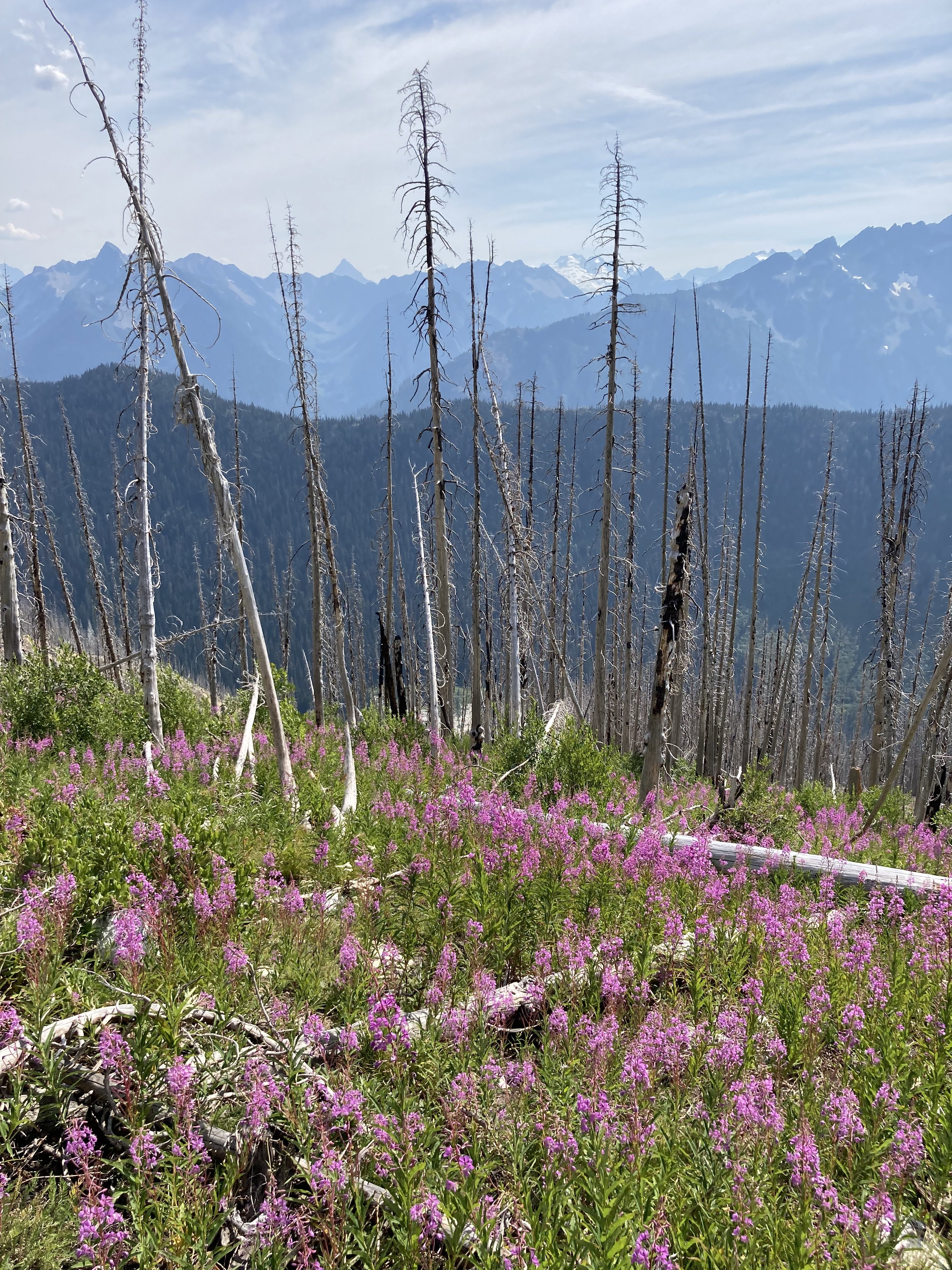
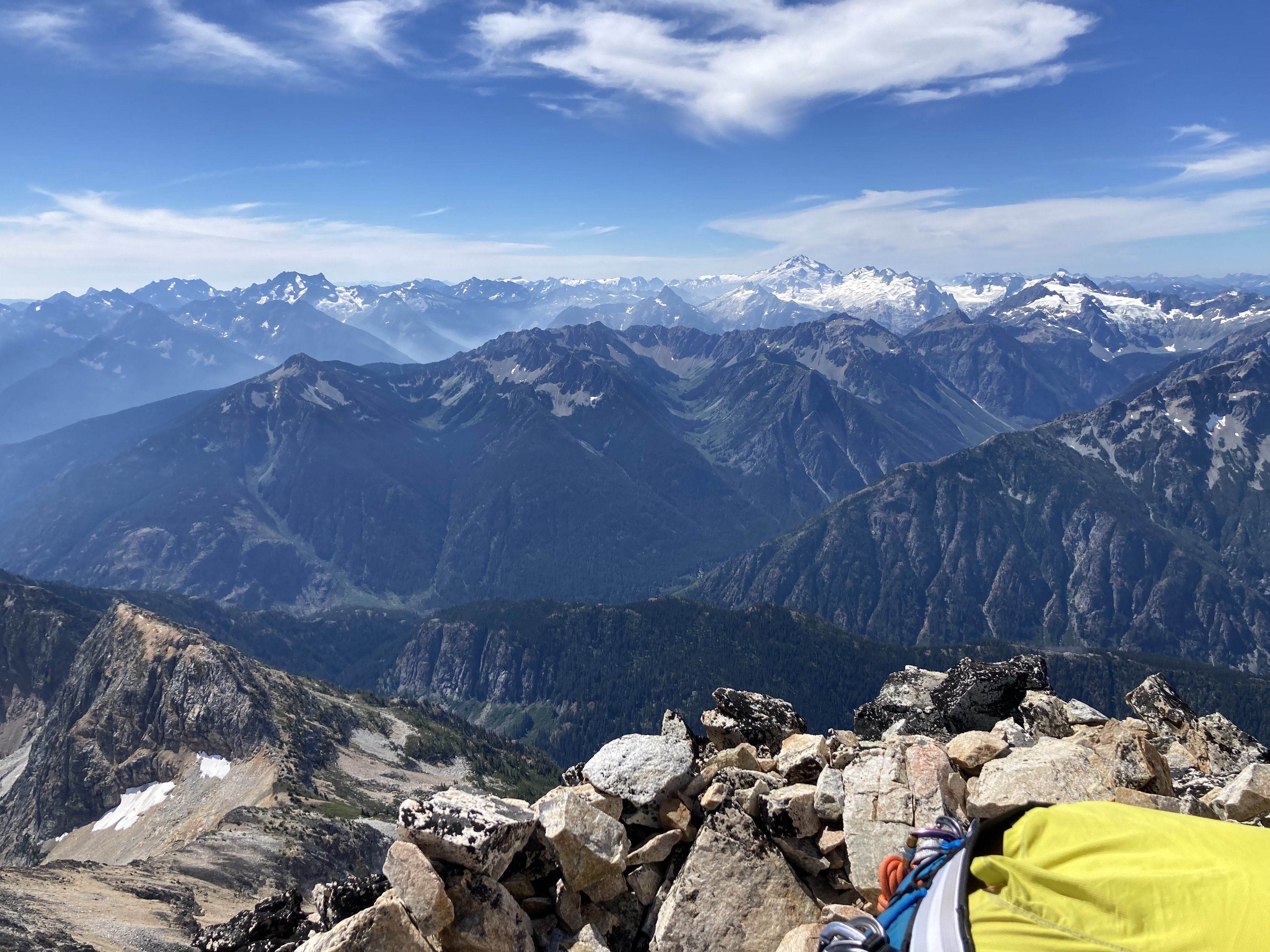
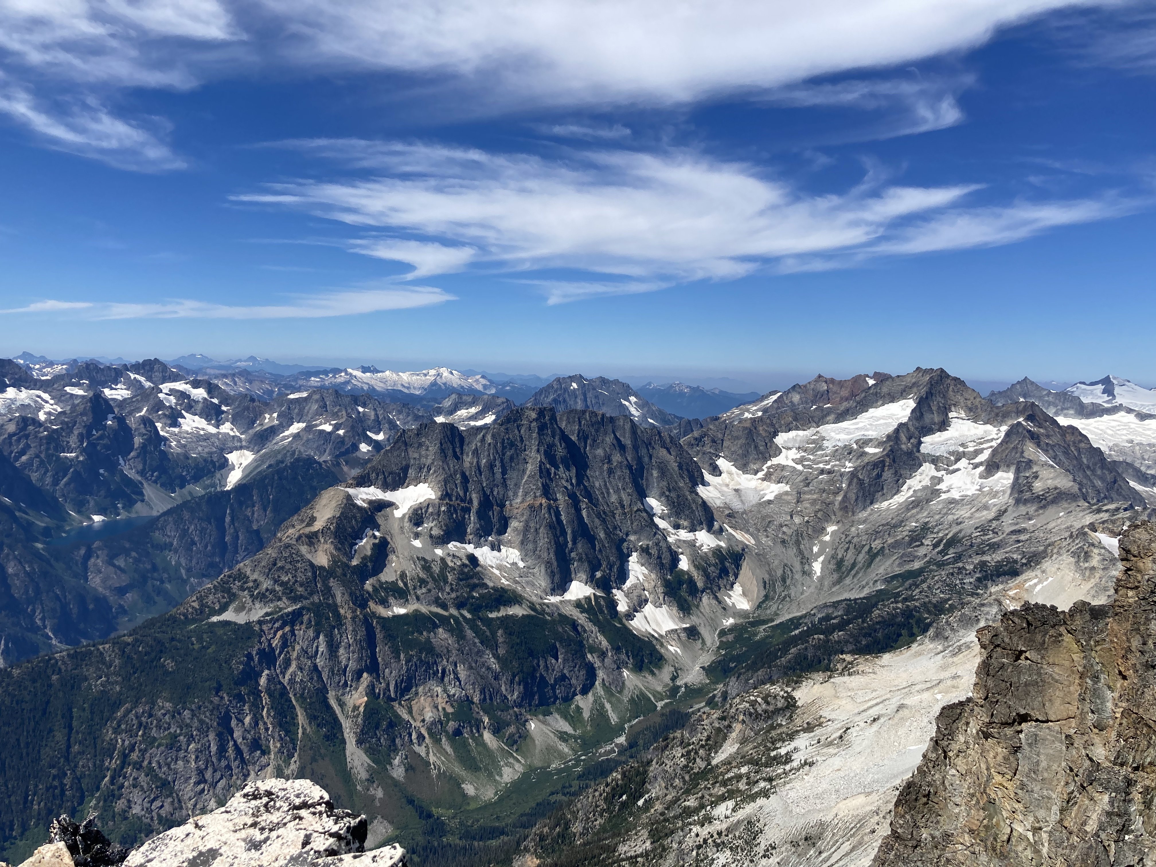
Trip: Ruth, Mineral, and the not so Easy way to Easy Peak - Mineral Mountain High Route Trip Date: 08/12/2023 Trip Report: "This route goes from Hannegan Pass to join the Easy Ridge High Route. It is an arduous approach to the Northern Pickets. The most gruesome moments of green hell and cliffs are at Chilliwack Pass: the rest is alpine nectar." - Routes and Rocks In the Mt. Challenger Quadrangle. Tabor and Crowder. 1968 And so it goes- the yin and yang of North Cascades High routes. I like "alpine nectar" as much as anyone, and so does @BrettS, so we chose to ignore the first part of that description and headed out to find out for ourselves. As expected with a description like that, NOCA permits in Glacier were a breeze. A welcome break from the madness of Saturday mornings in Marblemount. Then ......we went into the hills for three days and walked a lot - sometimes on a trail, sometimes hovering over the ground on brush, sometimes skipping through alpine meadows that would make @rat break out in song. We had nice camps, we had tunes, we had whiskey and too much camera gear. The verdict- either we are getting toughened up, or forgetful, but I don't think either of us found the crux to be much of a "green hell"- more "black flies and heat" hell. Regardless, the trip certainly traverses some of the more scenic ridge lines in the range, and exit out Easy Ridge is especially, well, easy. Same with the entry via Hannegan Pass and Mount Ruth. The middle involves..... some shenanigans, but you knew that. Pretty pictures never tell the full story in the North Cascades. Both our camps near Ruth and on the summit of Easy Peak were highlights, as was the midday swim in the tarn below Easy Peak. Lowlights, as mentioned earlier, were the heat and bugs. But, having the Tom Selleck of the alpine along made it all seem like a breeze. Ruth from Hannegan trail: Alpine nectar! Blum and Icy: Go do the North Ridge of Blum! Slesse, the Haunted House of the Chilliwack: If you see this, you are about to start the shenanigans: The view distracts from the sidehill of green steepness: @BrettS past most of the shenanigans: This summer has been really hard on the glaciers: Crowder and Pioneer in front of the Southern Pickets: Get your autograph pens ready! Rare @JasonG sighting in the wild: Alpine nectar! Summit of Easy Peak: Southern Pickets: Pioneer and the mysterious depths of the Baker River: Late season insanity around Kulshan and Shuksan: Tomyhoi at sunset: I've never seen Challenger looking so grim: Putting in the work on the photos....Now do you see why I carry that yellow pad? The smoke teased, but never fully engulfed us: Looking across the border into Canada, where there is another fire: A tad soft, unfortunately, but the Hozomeens at sunrise: Spickard and the Mox Peaks: Alpine Nectar! fin: Gear Notes: We were able to avoid all ice and didn't need anything other than helmets. No glacier gear needed if you go around on Ruth Approach Notes: Follow Tabor and Crowder. Find yourself a copy of Routes and Rocks!1 point
-
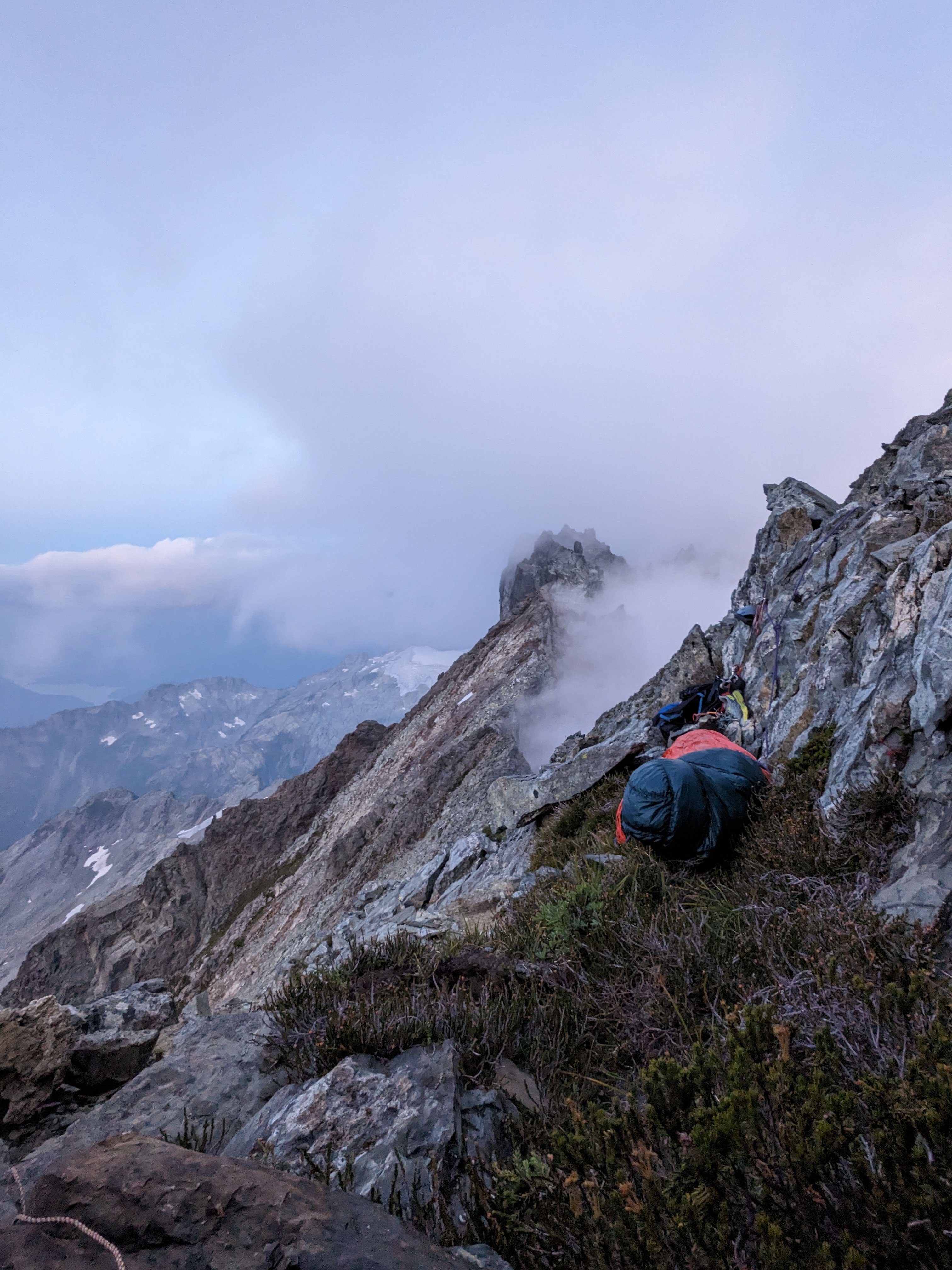
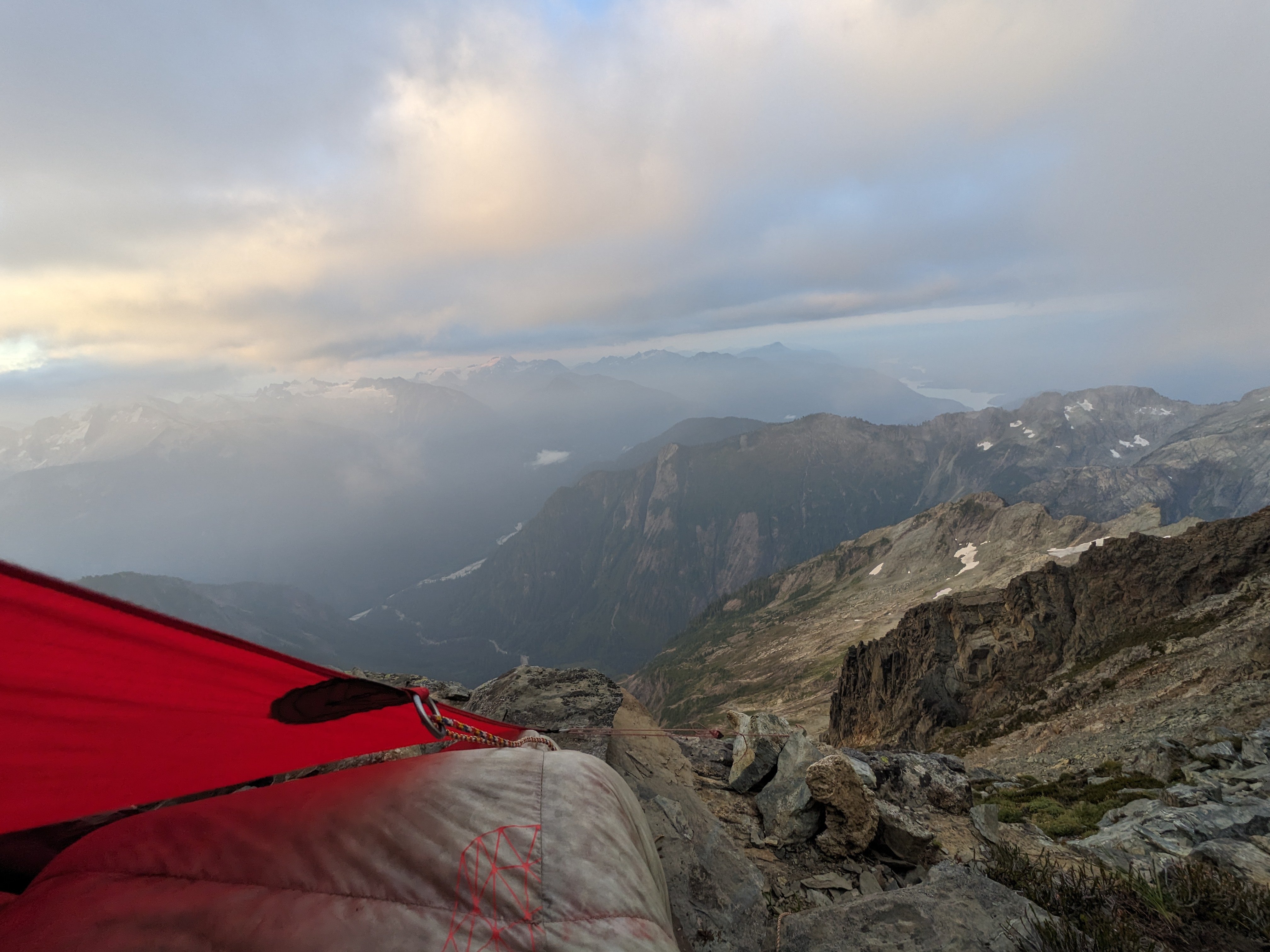
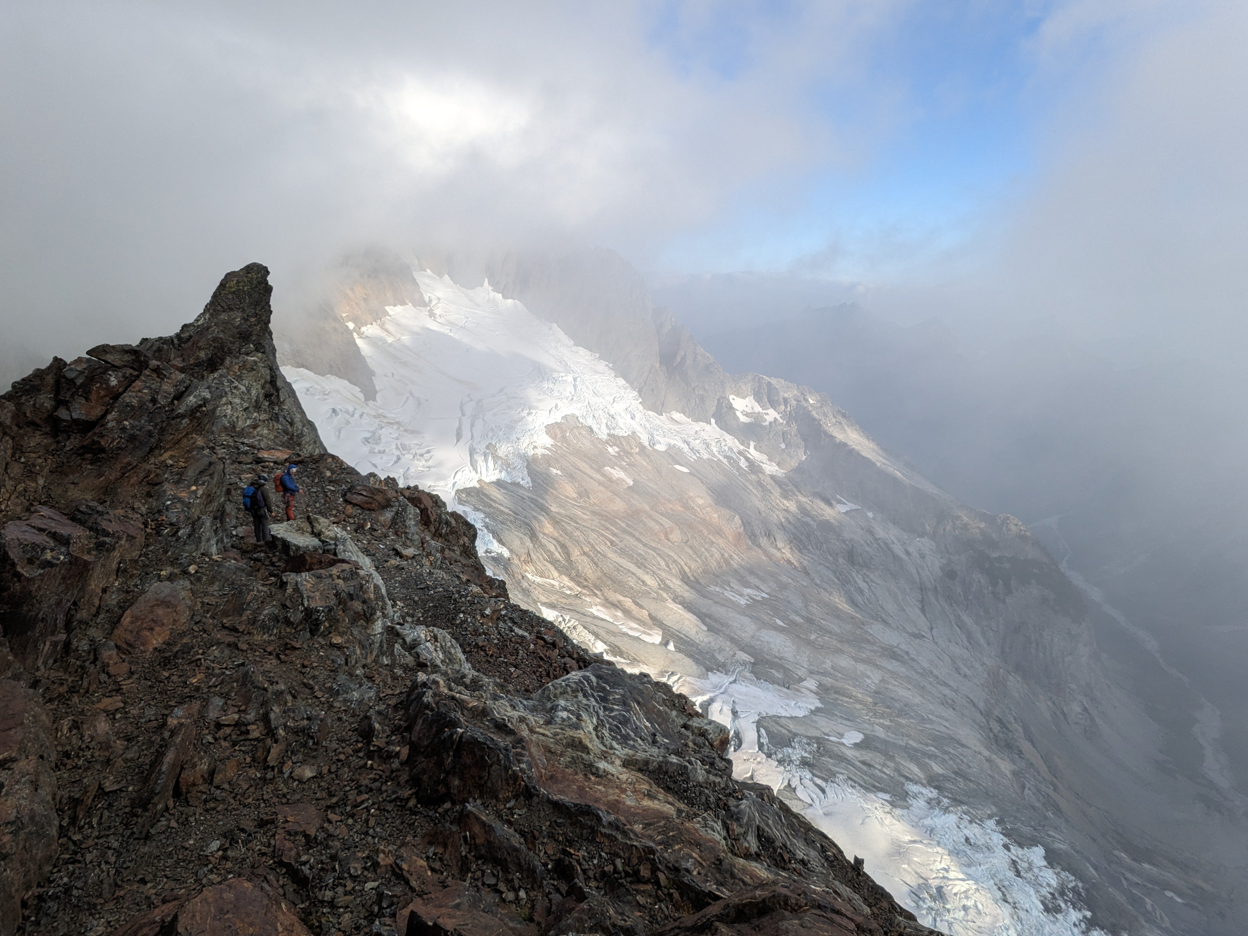
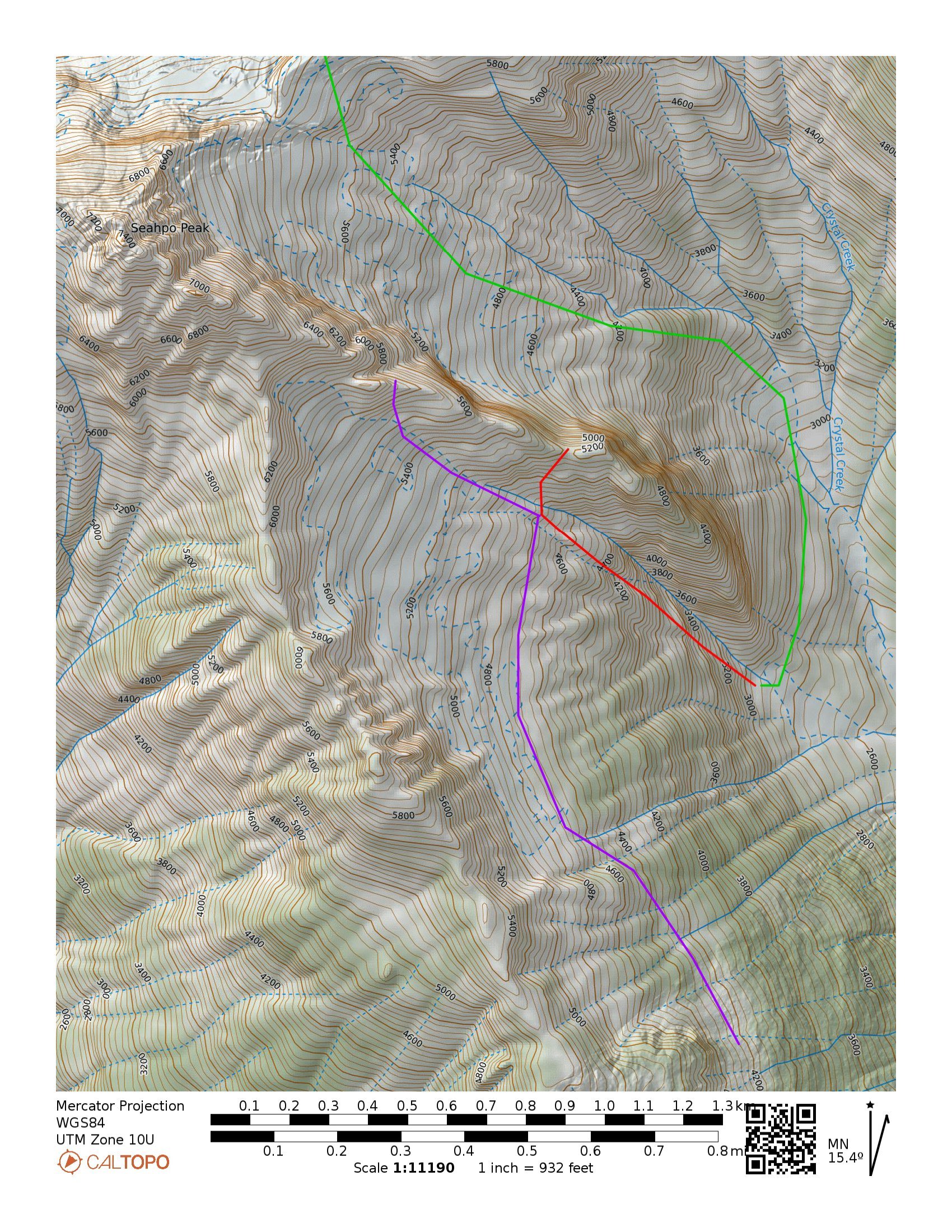
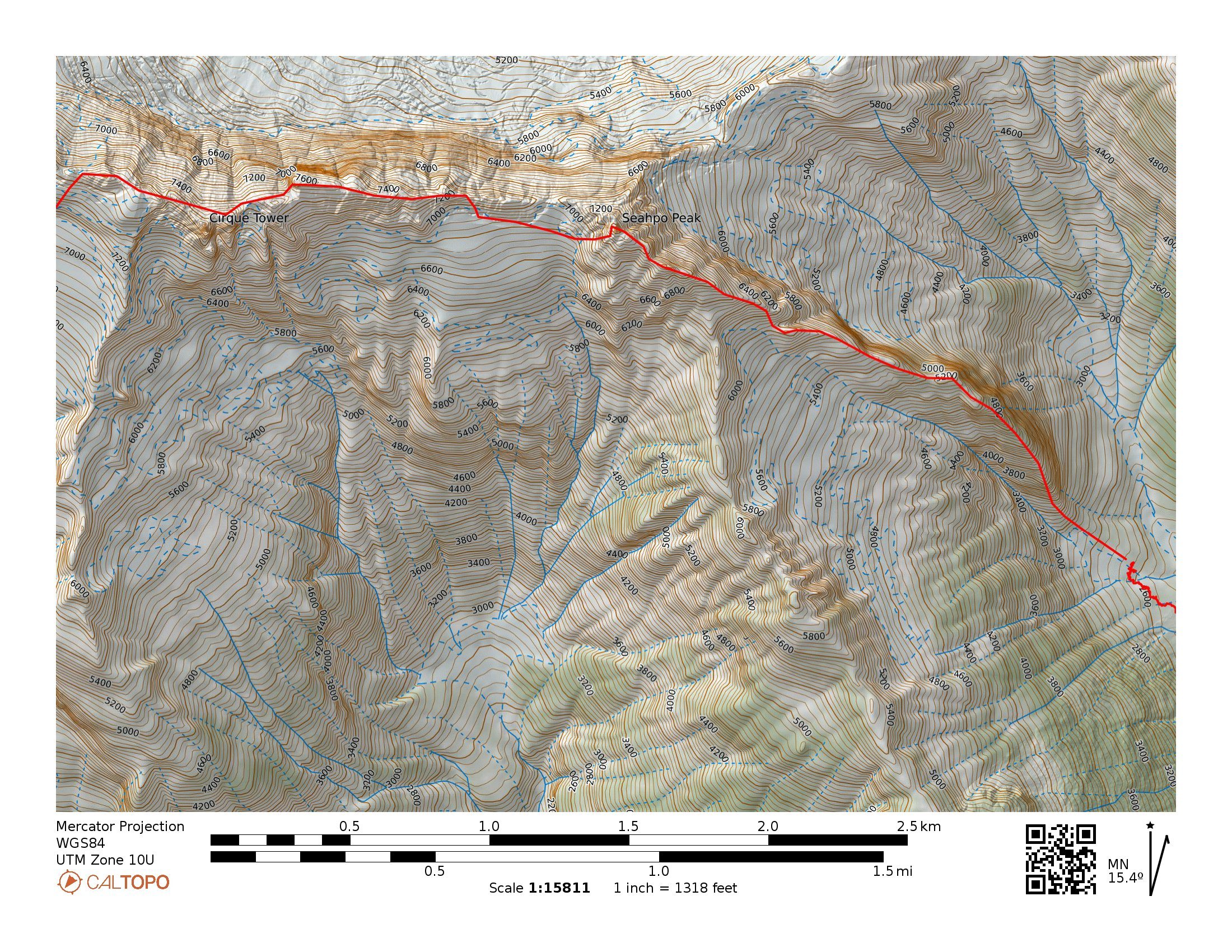
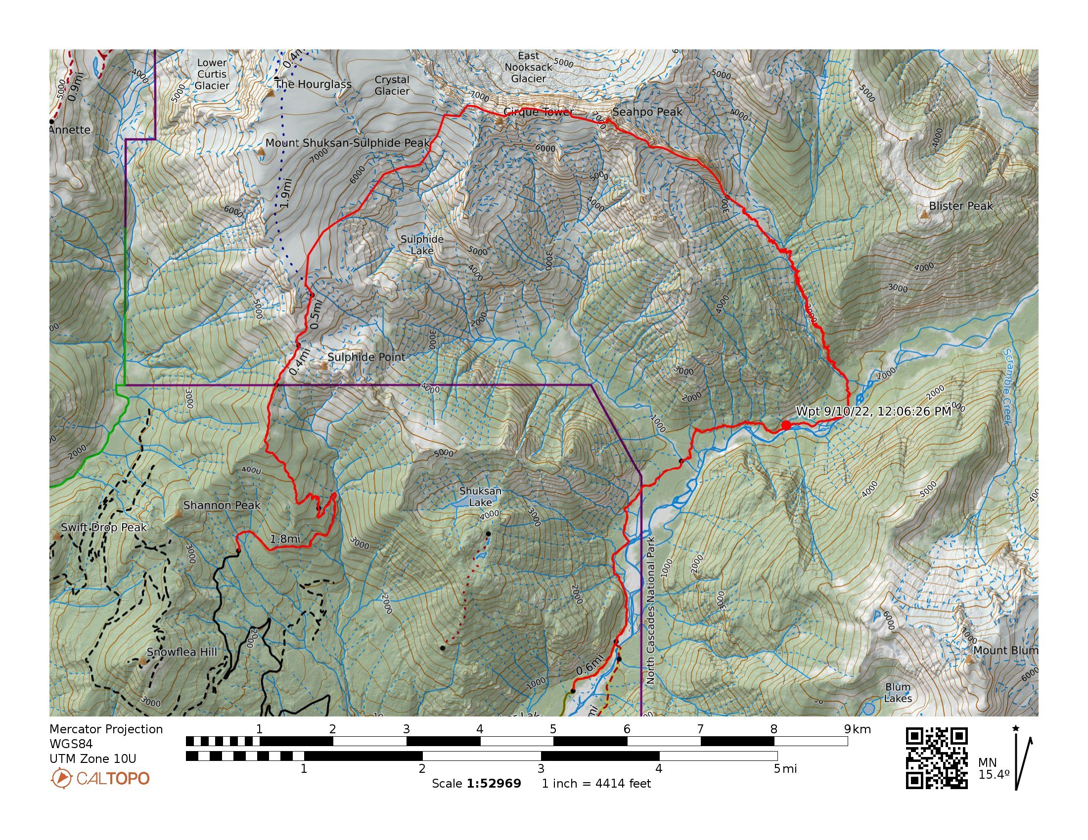
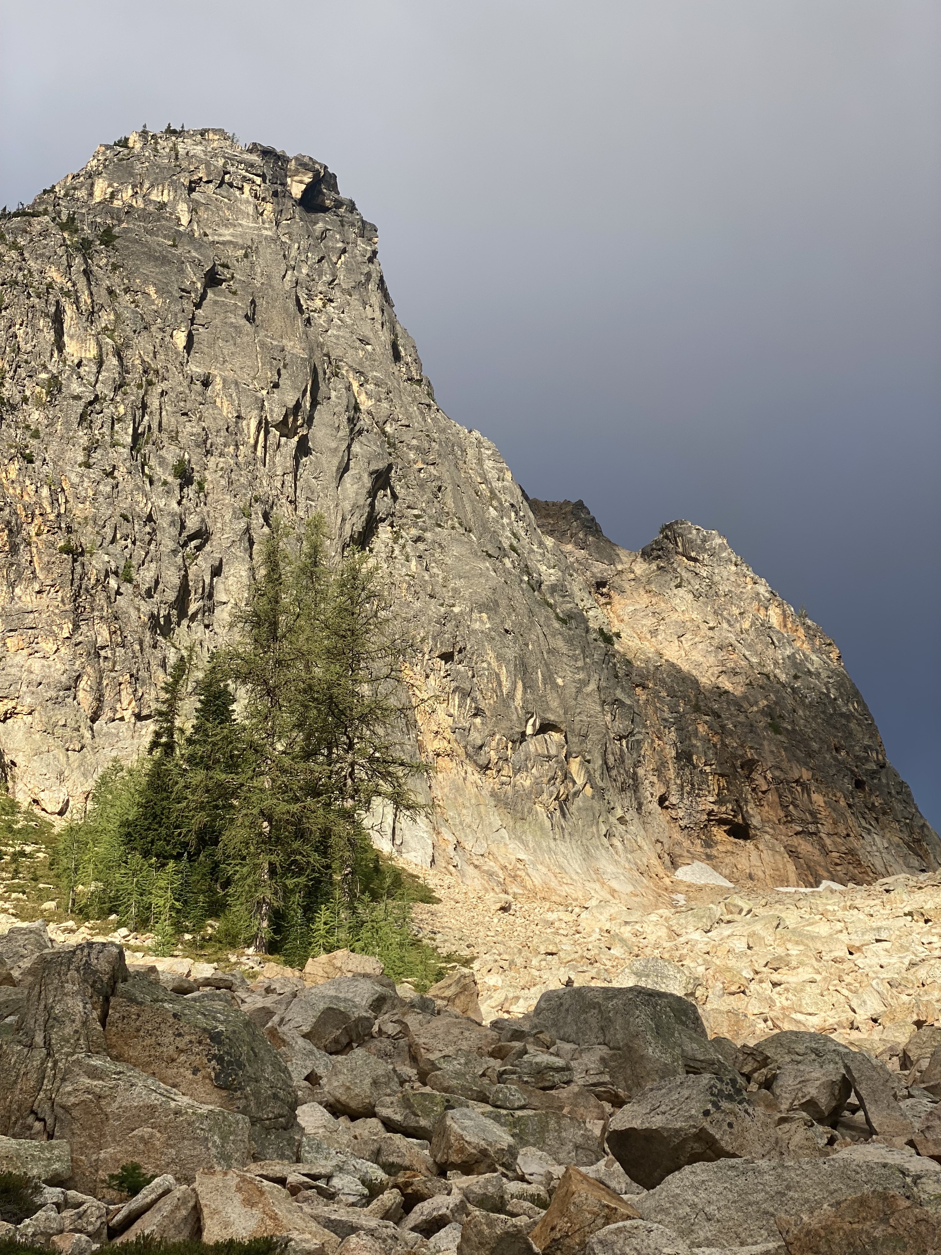
From Aug 20th to 24th Lani Chapko, Nick Gonzalez and I did the first ascent of the direct SE ridge of Seahpo Peak. The SE ridge gains roughly 4400' over around 1.5 miles of horizontal. Jagged Ridge adds roughly another 1.5 miles of ridge traversing. We climbed roughly 30 pitches on the SE Ridge of Seahpo with another 6-8 or so on Jagged Ridge. I would consider the SE ridge a Grade V as a stand alone if a team were to descend the standard route, and while maybe controversial, consider it a Grade VI with its continuation through the Jagged Ridge (Grade V 5.6). We had 18 hours of climbing time on the SE ridge and around 12 hours of climbing time on Jagged, totaling just shy of 30 hrs of climbing time over the course of 3 long days. Lani and I's climbing time on Mongo Ridge was around 17 hours and our non-speed-climber NIAD time last year was 16 hours. While not really relevant, these seem to be common benchmarks that people like to compare to. Photo I found last year from the summit of Icy showing the entirety of the ridge (sorry i don't remember who took it...) Early Attempts: I first spotted the line last year when Joe and I went in to do Spectre. It is a sneaky ridge that is only visible from a fairly narrow window of the North Cascades. We both agreed it looked massive and epic. I convinced Lani to give it an attempt late September. This was a couple weeks after a bad ankle sprain on Jo Berg. We ended up bailing after around 800' of climbing because of extreme heat, dry conditions and mild hallucinations from intense smoke. We approached via the Baker River and Crystal Creek. This year in July we had a window and decided to give it another go. We figured the Baker River approach would not go smoothly so we decided to try a high route approach via the Ruth-Icy traverse. Once at the Icy-Seahpo col we dropped down the head of the Crystal creek cirque and tried to find an access point to the ridge from the north. The climbing looked like 5.10X with minimal anchors, so we ultimately bailed out with the knowledge that we would have to repeat the heinous munge we found on the ridge last year. Day 1: We knew we were heading into dry conditions, so we sought out a third person to join the party to help distribute water weight on the harder climbing near the toe of the ridge. We reached out to Lani's friend Nick the morning of to see if he would be down, and he somewhat reluctantly joined knowing he would be procrastinating some work. The last minute shuffle meant we were in for a bit of a long packing session and late start. We got to the Baker River Trailhead in the mid afternoon and started our approach around 3PM. The approach went smoothly as the Baker River was super low and the crossings were super chill. We again picked up the old trail up crystal creek. We were initially super confused about the existing trail until we consulted with Eric W and learned that there used to be a trail up crystal creek. We got up into crystal creek basin right as it was getting dark and decided to set up camp in the trees just after crossing crystal creek. Near the end of our approach, Nick got stung by a ground wasp and started developing some full body hives. He had previously never been allergic to any kind of stings so this was a new development. Luckily we had just added some Benadryl to the first aid kit. He reacted well to the Benadryl and the hives subsided after around 20 min. Day 2: We started out the day finishing our approach up the crystal creek basin. This involves some mellow, but overhead grassy bushwhacking. When we were here in 2022, there was clear evidence that a ton of bears had trampled the valley. Adding a very eerie feeling to the endeavor. We felt like we were being taunted by Tanuki, hence the name. The climbing on the ridge starts around 2900-3000' depending on how your device is feeling. Once at the base of the ridge again we were back in familiar terrain. Ignorance may have been bliss... The first 1000' of the climb involves some substantial, runout and sometimes challenging munge-a-neering. Lani following one of the 5.9 munge pitches on the first attempt Looking up at the crux munge pitch after bailing on attempt #1 After reaching our high point, we continued questing upward. We had a hunch that we were through the major difficulties of the lower ridge on the first attempt, and luckily that prior assumption was true. 1000' more munge led us to the summit of the first major tower. This tower rises over 2000' over crystal creek basin and feels like a major accomplishment in and of itself. Lani and Nick Following near the top of Tanuki Tower Looking back down at the long scrambling section in the middle of the route After reaching the summit of the first tower, which we later dubbed Tanuki Tower, the ridge eased back for a massive, long section of 3rd and 4th class scrambling, separated by the occasional pitch. We were able to make good time to the base of an obvious gendarme to camp at 6900'. When we arrived at camp we were able to locate a 3rd class access ramp that allowed for access to the glacier on the south side of the ridge. This allowed for a much needed water top off. Future parties could consider gaining the upper (more classic) ridge via this hanging basin and scrambling access ramp to avoid the munge on Tanuki Tower. Looking up at the upper ridge from camp. Day 3: We started by climbing the obvious Gendarme above camp and traversing to the main summit massif and upper ridge. Classic moderate climbing on the Gendarme above camp The upper ridge provided a ton of clean, moderate ridge climbing with a bunch of awesome position and good climbing. Nick leading the upper crux, a clean 5.8+ lieback After a bunch of false summits, gendarme traverses and generally entertaining ridge climbing, we finally found our way to the summit of Seahpo. Stoked on our success we started the debate about continuing. We all had trail runners and light aluminum snow gear. After an hour long debate we decided thin conditions meant we could work around the snow and manage the little that we had to, so we began our committing raps off the summit of Seahpo. We started off with the moderate snow traverse across the glacier to regain the ridge. Conditions were super firm, so while only being around 30 degree traversing terrain, we ended up pitching out this short section. Looking out from the start of the Jagged Ridge Traverse Clean Rock on Jagged Ridge Once back on the rock, we were able to make super quick progress soloing a bunch of 4th class terrain to near the mid point on the Jagged Ridge traverse. There were minimal opportunities for bivies, but we found a reasonable, albeit exposed ledge near the ridge crest. If we would have been able to continue for another 20 min, we would have made to to a kush ledge on the north side of the ridge that would have been sheltered from winds. A nice ledge amongst the choss traversing near the end of Jagged Ridge Day 4: The remaining part of Jagged Ridge was honestly kind of awful without snow coverage. Very loose compact dirt and unstable talus traversing above big exposure. There was the occasional pitch but mostly scrambling. We ultimately made it to the final group of towers that define the exit to the ridge. We didn't really find the "lethal choss chimney" described in other reports, though there was a low angle choss gully with a 5.6 boulder problem around a chockstone. The final pitch to exit was the definitive crux and decent climbing, though a bit steep and committing for 5.6. Once off the traverse, we realized our mistake in equipment selection. It was clear that heading up onto the crystal glacier with so much blue ice exposed would be an awful test of our mediocre snow gear. That and a whiteout shielded the bergshrunds from our vision, so we didn't have a clear view of our exit. Our original plan was to head up and maybe tag the summit pyramid, though we decided to bail onto the slabs below the crystal and sulphide glacier. There was a level of uncertainty with terrain and overhead hazard, though the seracs looked quiet enough to feel comfortable with the traverse. The 2 mile long slab traverse took what felt like days, but we were able to link into the sulphide route right at the standard sulphide camp, avoiding all of the steep exposed ice. We took the slabs just below the snout of the crystal, then back up the rocky passage on the Sulphide Typical terrain on the slabs after a waterfall crossing A quick jaunt down the shannon ridge trail got us back to civilization, but not out of the clear... as we opted not to spend the time to set up a car shuttle. Nick in all of his glory had volunteered to run the shannon ridge trail and road all the way back to baker lake trailhead to shuttle the car, for a total of an 11 mile run to finish off the trip!! Overall, this was a grand journey up one of the largest technical features in the lower 48. I would recommend the whole ridge as an awesome cascadian, blue collar route! Rack: Singles Single Rack to 3 with doubles up to .75, optional KB's, Single 60M Rope A rough track showing our approximate route TH to TH A Close up showing our rough track on route Potential alternate approach tracks; Green showing an early season approach via the Icy-Seahpo col, this route may require some rappels down low angle slabs. Purple being a potential high route that would require a bushwhack up the ridge to the left of Crystal Creek. And Red showing a technical track up low angle waterfall slabs that would access the hanging basin to bypass Tanuki Tower. The two access points (red and purple) seem like equally easy and viable ways to access the ridge.1 point
-
Trip: Columbia Peak - West Ridge Trip Date: 09/02/2023 Trip Report: Every 20 years, the classics probably need to be repeated. And, as I was reminded Saturday, the west ridge of Columbia is a classic Cascadian scramble. It has many good ingredients: a bike portion to keep the masses away (~8 miles RT-bring full suspension for the cushy experience); decent trail to access the alpine without bush bashing (Poodle Dog pass/Twin Lakes trails); enough real scrambling to get your attention on the way up and down (short bit of 4th and a good amount of 3rd); and a commanding viewpoint of the central Cascades (pictures below). A great day out, all in all! A funny aside- on the way up, quite high near the summit (not the two ladies in the comments below that I ran into in the morning), I ran into a couple of young mountain runner dudes on their way down. I was traveling in the opposite style- I had my typically bigger than I need pack, large camera, and yellow pad. In short, a dead giveaway. "Are you @JasonG?" A classic Cascadian trail scene: Wilman's Spires and Peak. Worth climbing all of them! Twin Lakes, Spire Mountain and Gunn Peak: South to Daniel and Hinman from the summit of Columbia: The view SE: NE to Dakobed, Monte Cristo, and Kyes Peaks: Dakobed and Monte Cristo: Columbia Peak. West ridge is the prominent spur that descends down and left from the summit. Easier than it looks! Glacier Basin Peaks from the trail down from Poodle Dog Pass: I was amazed that I had the only bike locked to the rack in Monte Cristo. Don't forget this key piece of gear! Gear Notes: bike, helmet Approach Notes: old road to monte cristo, trail to twin lakes, and then up!1 point
-
Damn!!! I realized I never shared this here. Hopefully someone reads it and gets stoked on the adventure of a lifetime. Full TR and photos here: https://spokalpine.com/2022/07/08/denali-cassin-ridge-vi-5-8-ai4/1 point
-
Trip: Goode - NE Butt Trip Date: 08/03/2023 Trip Report: Kyle Tarry and I climbed this peak in two days from Rainy Pass Aug 3-4. Day 1: Hike to bivy sites below the glacier and scope the glacial approach. Day 2: Climb the route (6x simul pitches), descend to Park Creek and hike back to Rainy Pass, arriving at 1am... should have probably just stopped to sleep somewhere. Pictures: Goode from North Fork Kyle at the NF creek crossing. Hiking up to the bivies, surprisingly chill trail through the slide alder. Logan and Fireweed Kyle slogging in the heat. Minimal schwackage though. Scoping the glacier and lower route. Kyle low on route, 2nd simul pitch next morning. View E off ridge. More scrambling with the rope on. Kyle romping... rope is less jengis than it appears. Even more scrambles. Choss f*$&ery on what I assume is upper Megalodon? Eldorado (far R), Forbidden, Buckner, Booker, Trapper Lake, looking to the W. Glacier Peak, Dome and friends to the S. Descent in the burn. Pretty, not too hard but dusty on this section. Purdy bits from the long walk out. ? Gear Notes: approach shoes are fine, 60m double rope folded over for simuling, single rack to #2 Approach Notes: There is a significant climbers trail from North Fork to the cliff below the glacier. We were both surprised at how easy the "bushwhack" was for NCNP. We were able to sneak onto the glacier and access the L side of the buttress above some crevasses with no serious difficulty. It looked uncertain from below but went fine.1 point
-
Trip: Porcupine Creek Wall - Salad Days III 900' 5.10+ Trip Date: 08/20/2022 Trip Report: It did not go unnoted when Eric Wehrly moved to town. While our more noteworthy first ascents may be of a…umm…slightly different style, in my mind’s eye I generally enjoy any adventure far from the road particularly if it involves unclimbed terrain. Finding like-minded folks at a similar point in life, that is old, is not easy. So I assumed at some point we’d tie in together. It did not happen quickly. While phone numbers were exchanged and talk of getting out occurred, the years passed by. Maybe I came on too strong. During Covid there may have been a day at Mount Erie where I loudly berated Eric to be my “New Best Friend!” as he TR-soloed nearby. Clearly, I needed a better incentive than that. Halfway up the Pacific Crest Trail between Rainy and Cutthroat Passes a large wall of granite stands proudly above the trail. I first walked by it eighteen years ago with my then girlfriend. From a distance it had the obvious geometry and tone of good rock. A friend and I almost went to check it out but we made other plans and the idea was largely forgotten. This summer I strolled by it again, with my now wife and our two teenage children. Still there, still grey, still splitter. A week later I spent a solitary day circumnavigating Porcupine Peak. The summit was eventually attained, and, on the descent I found myself beneath this wall I had considered for decades. Carefully glassing it I became discouraged. As I walked away I thought “almost but not quite, the start may not go and the rest is just a bit too dirty and discontinuous.” However, it’s amazing what some grainy iPhone photos and a bit of selective memory can do. Furthermore I finally had the sort of incentive Eric might respond to. On Saturday August 20th we stood below “the start that may not go” and sure enough it didn’t. As this had been my idea, I felt obligated to get us rolling so I began a long circuitous pitch climbing easy terrain off to the side before a long downward traverse led to a committing mantle onto a vegetated slab above. Struggling with massive rope drag from the severely Z-shaped pitch, I encountered a recurring theme of frantically hacking away a clump of heather to find a small cam placement. Eric quickly downrated my estimated grade and then scrambled up more heather covered corners to the base of a steep, relatively clean layback flake. Perfect edges made the otherwise intimidating flake go quickly. Unfortunately, the intended route up a long “hand crack” above the flake turned out to be 100 feet of 4”-6” offwidth. The scale of the wall was turning out to be a bit larger than anticipated. Instead, Eric made a delicate leftward traverse before committing to a steep, broken crack formed in part by some precariously hollow fridge-sized blocks. Easy terrain led to the base of what had appeared to be a splitter from the base of the wall. Above I could only see a slammed shut seam covered in a thick crust of lichen, moss, and dirt. Eric proclaimed it to be a finger crack. I was highly skeptical. But on new ground there’s nothing worse than being the person who forfeits your partner's last proud lead by bailing off into indirect, unappealing terrain. I spent several minutes pawing at the start, muttering random negativities. After a few minutes I finally committed to the initial moves into the corner then rapidly hung on a nut. But it was started and despite my deep pessimism about there actually being a climbable crack under the filth I found myself inching upwards. Sand and pulverized lichen poured into my eyes, my nose, my ears, and my shirt. Aiding up in 8mm dyneema slings progress was dispiritingly slow as I cleaned out every single placement. Time oozed on and hours later I finally pulled the singular hand jam at the very top of the 150-foot crack and flopped onto a good ledge. Now relatively cleaned out, Eric rapidly followed the crack free proclaiming it 5.10+. Having climbed three pitches in five hours and 45 minutes, simple math suggested that our rate of ascent was significantly slower than the sun's rate of descent. While I did not yet suggest bailing, I did point out this obvious observation. Yet Eric confidently proclaimed that the “walk off” would in fact be a walk and that we would only need headlamps once we were within spitting distance of our packs. Regardless of attitude at this point, the wall kicked back a bit and the next pitch looked easier. No reason to bail yet so Eric headed out, moving quickly across a thankfully clean hand crack before moving out of sight into the corners above. Progress slowed, the rope stopped moving, I almost nodded off. The clouds continued to build as the rope made halting progress. A random inquiry on my part was met with a stern “Not Now”. Eventually Eric reappeared above having navigated some sketchy 5.10 face climbing to avoid an impossibly munge-filled corner. Moving left and right, up and down he eventually retreated to a blocky alcove from which we could reappraise the options above. With the rack refreshed the obvious direction was through an overhanging V-shaped corner. Chimney moves, flared jams, wide stemming and possibly some tension left me once again above my gear, hanging off a sloping rail, feet stemmed out on small dishes, surrounded by thick mats of grass and heather pasted in corners. With my ancient Chouinard north wall hammer wedged into a hummock, a brief struggle ensued between which would be pried off first, the hummock or myself. Thankfully the hummock released, revealing a perfect hand crack. The climbing relented and the rate of progress discernibly increased. As I neared the end of a lead the sky finally cracked open with a brief squall and a lovely rainbow filling the valley. Despite the weather I finally felt committed to the climb. Going over the top was now the path of least resistance. Almost every challenging climb you undertake has that beautiful inflection point, when hours, days or even years of uncertainty just melt away leaving you relaxed and in the moment. Eric climbed another beautiful corner with sustained finger cracks under the hummocks and dirt. The final pitch was a perfect finale. Shockingly clean granite with delightful climbing up to and around a large roof followed by easy, clean slabs to the top of the wall. The Cascades were bathed in a beautiful soft glow and views extended from Dome in the far distance to the sun setting off the shoulder of Mesachie Peak. The walk off was anything but, and had it been dark we would have been in for a genuine epic. Yet much as predicted headlamps only came out as we finally exited the talus onto delightful heather meadows not far from our packs. If you're familiar with Eric’s and Rolf’s first ascents on massive walls of less than stellar rock I’m sure you’ve wondered what makes them tick. My simple observation would be an extremely positive mental attitude with a surprisingly conservative aversion to potential loose rock. My successes have largely been built off an ability to separate the negativity of my dumb brain from the mechanical motions of moving upwards. It’s worked but doesn’t seem nearly as efficient as Eric's approach. I’d like to think I might adopt some of his positive mindset in the future. That said I’m pretty sure we influenced each other, as we headed out down wet talus with heavy packs Eric could be heard muttering “If you added a few bolts...”. Hour and twenty minutes from parking Lot Enter the Drag-On (forever) In my happy place (after the rain) Exiting the wall Views South and North Old Dirty Bastard and Mr. Clean Postscript After Eric graciously spent another day of his life reclimbing and fixing the first four pitches with me I went back for the Labor Day weekend and put in thirty hours of cleaning, creating fixed anchors and adding several variations to avoid indirect, loose or excessively dirty terrain. Rock is excellent and clean throughout. Rappelling is quick and efficient vs. the unsavory walk off. There is a pile of good climbing up there.1 point
-
1 point
-
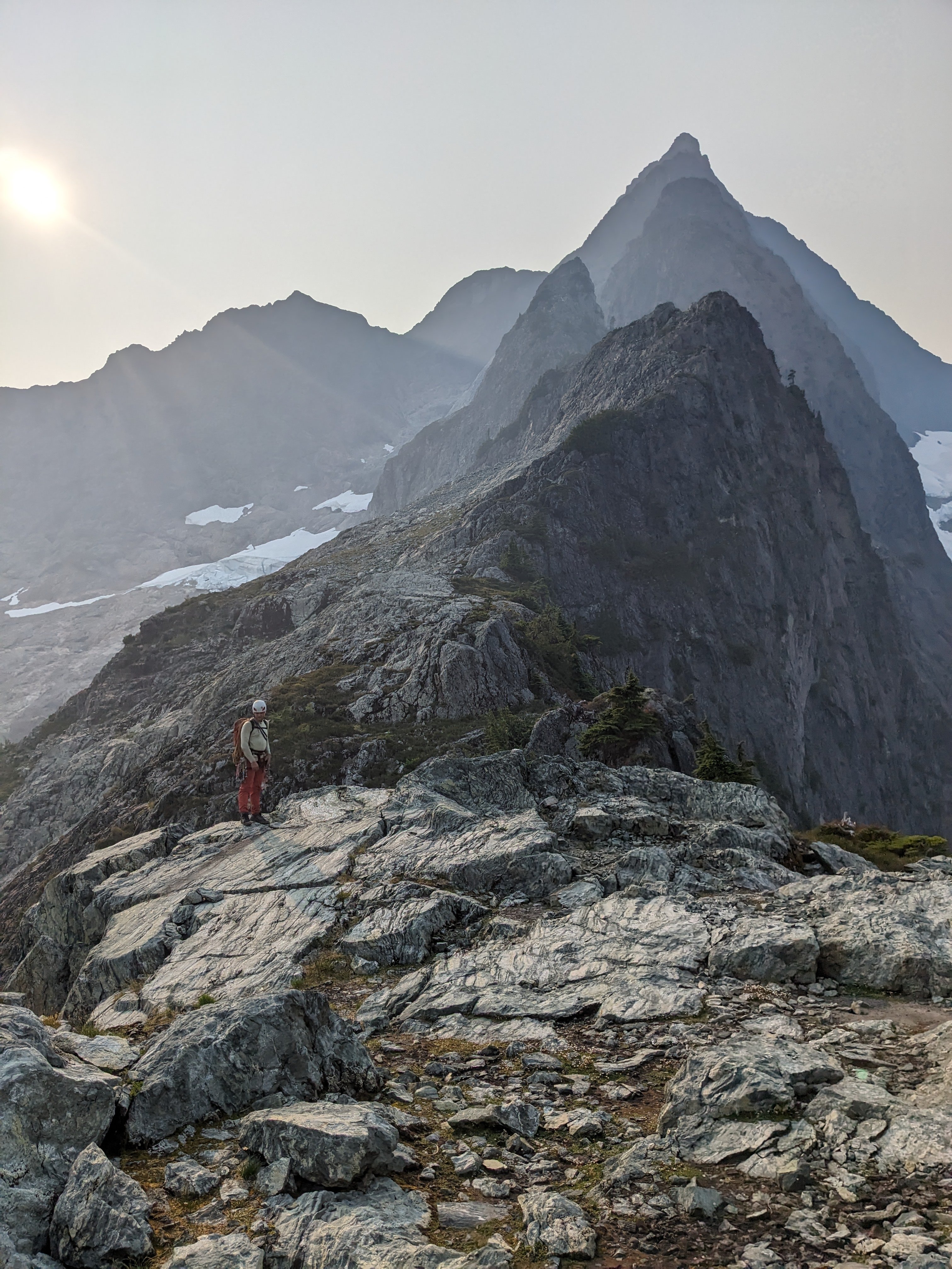
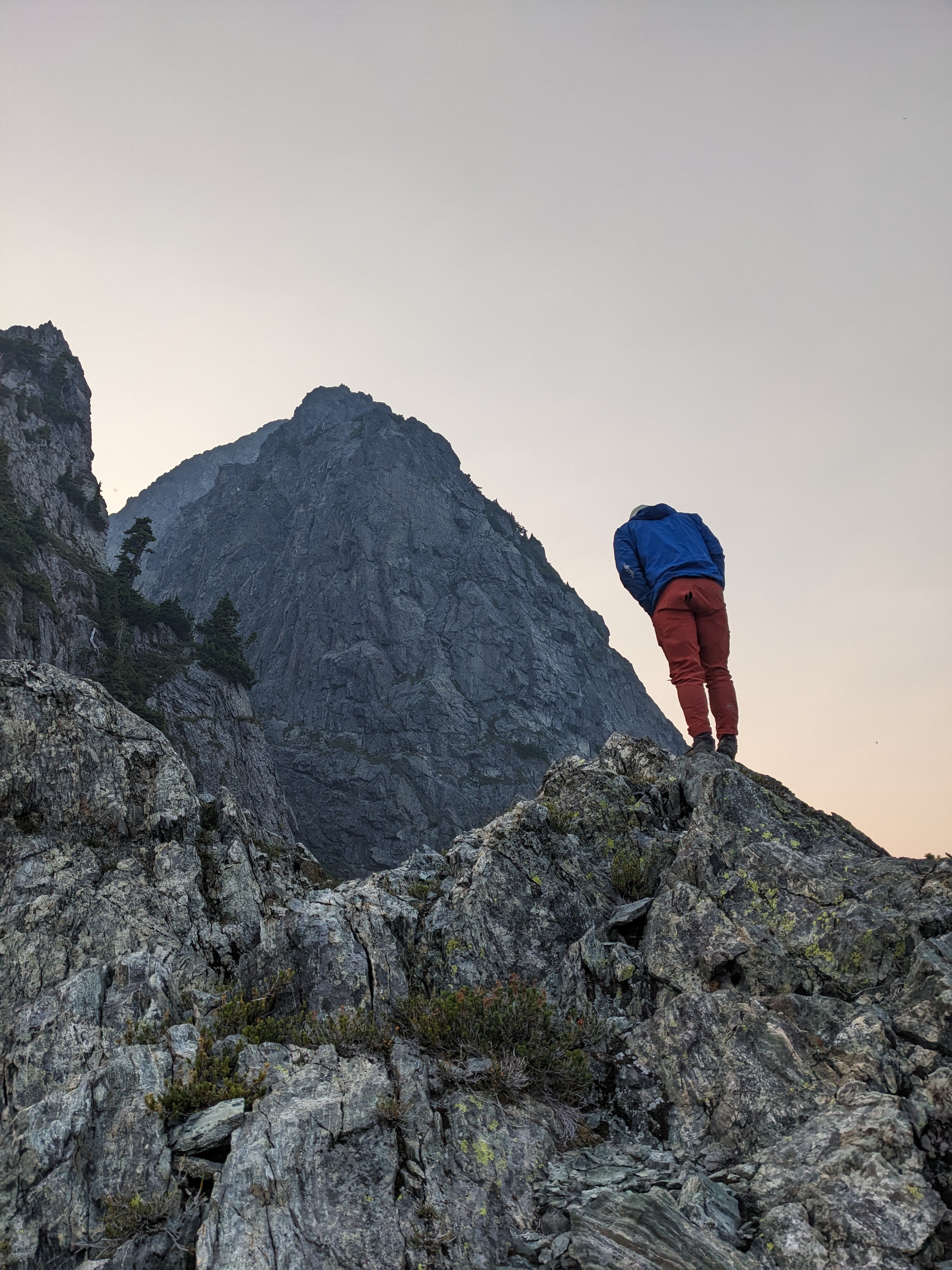
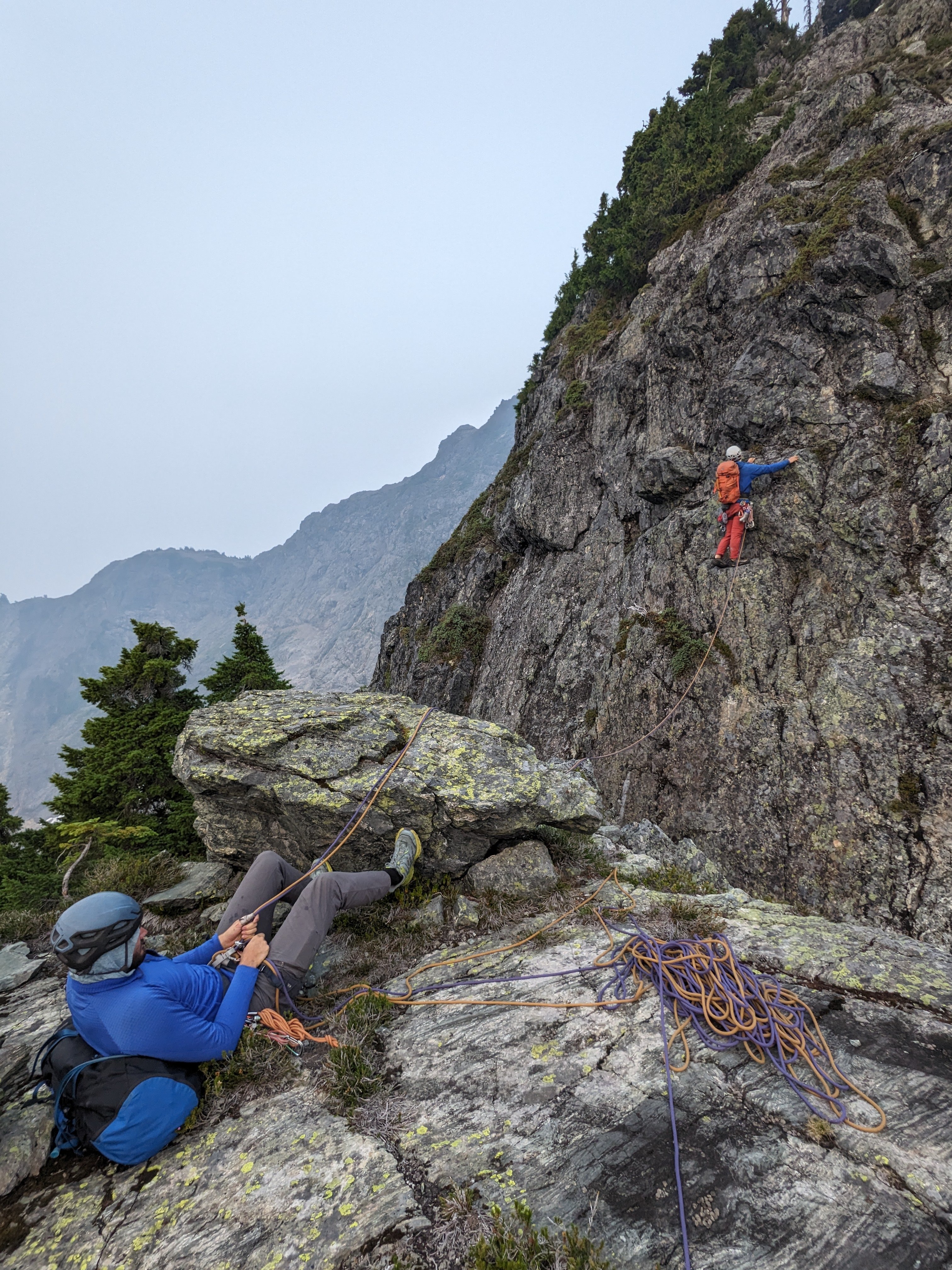
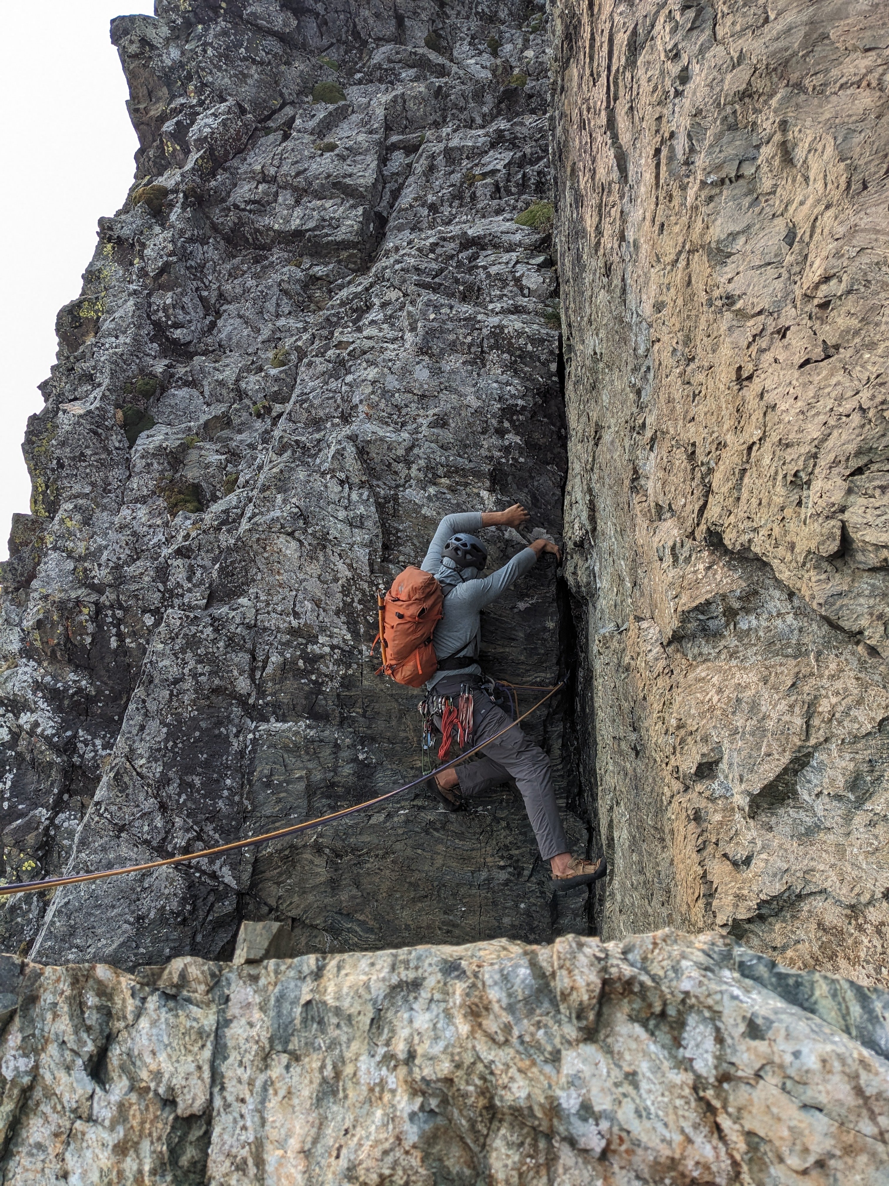
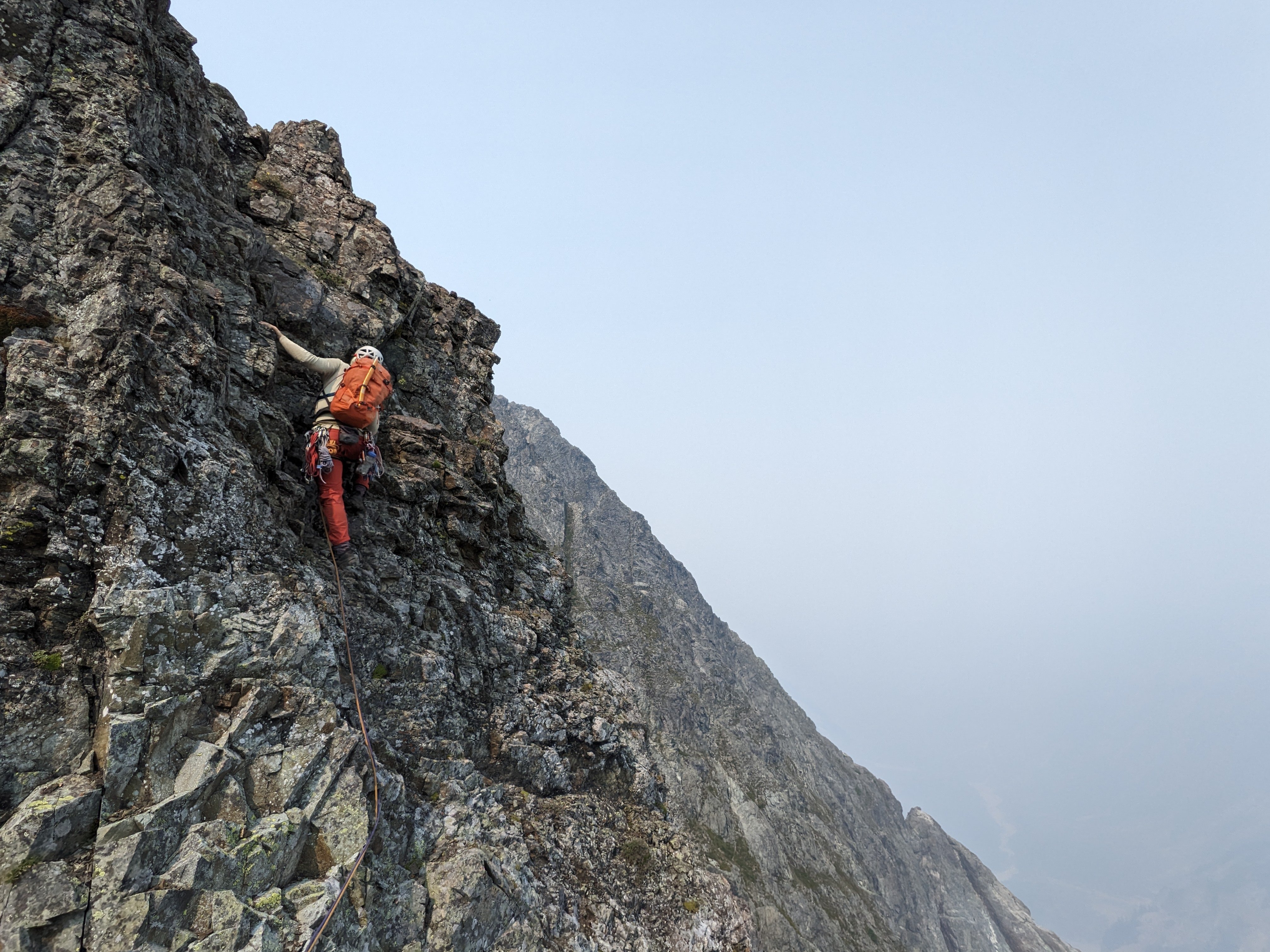
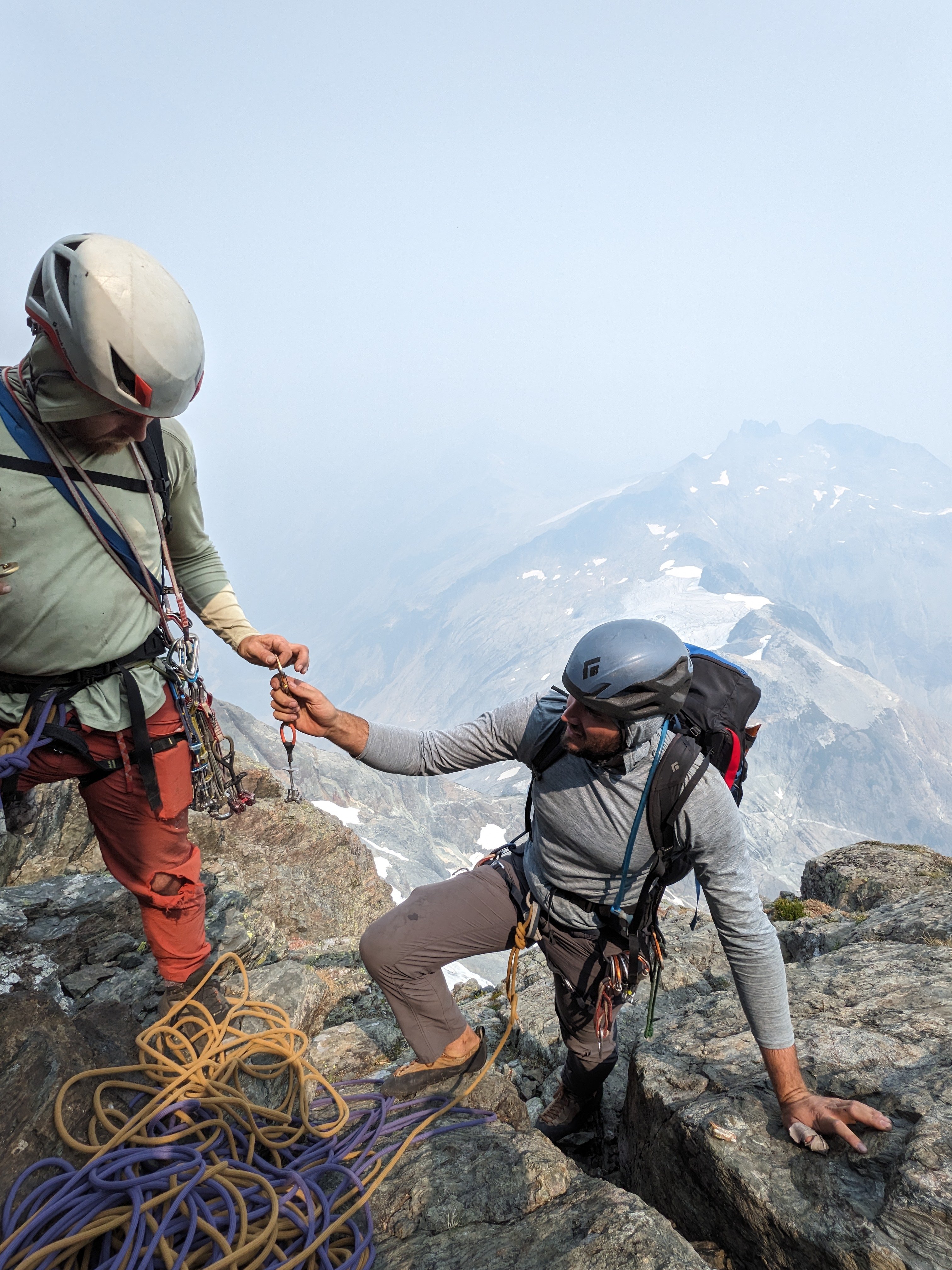
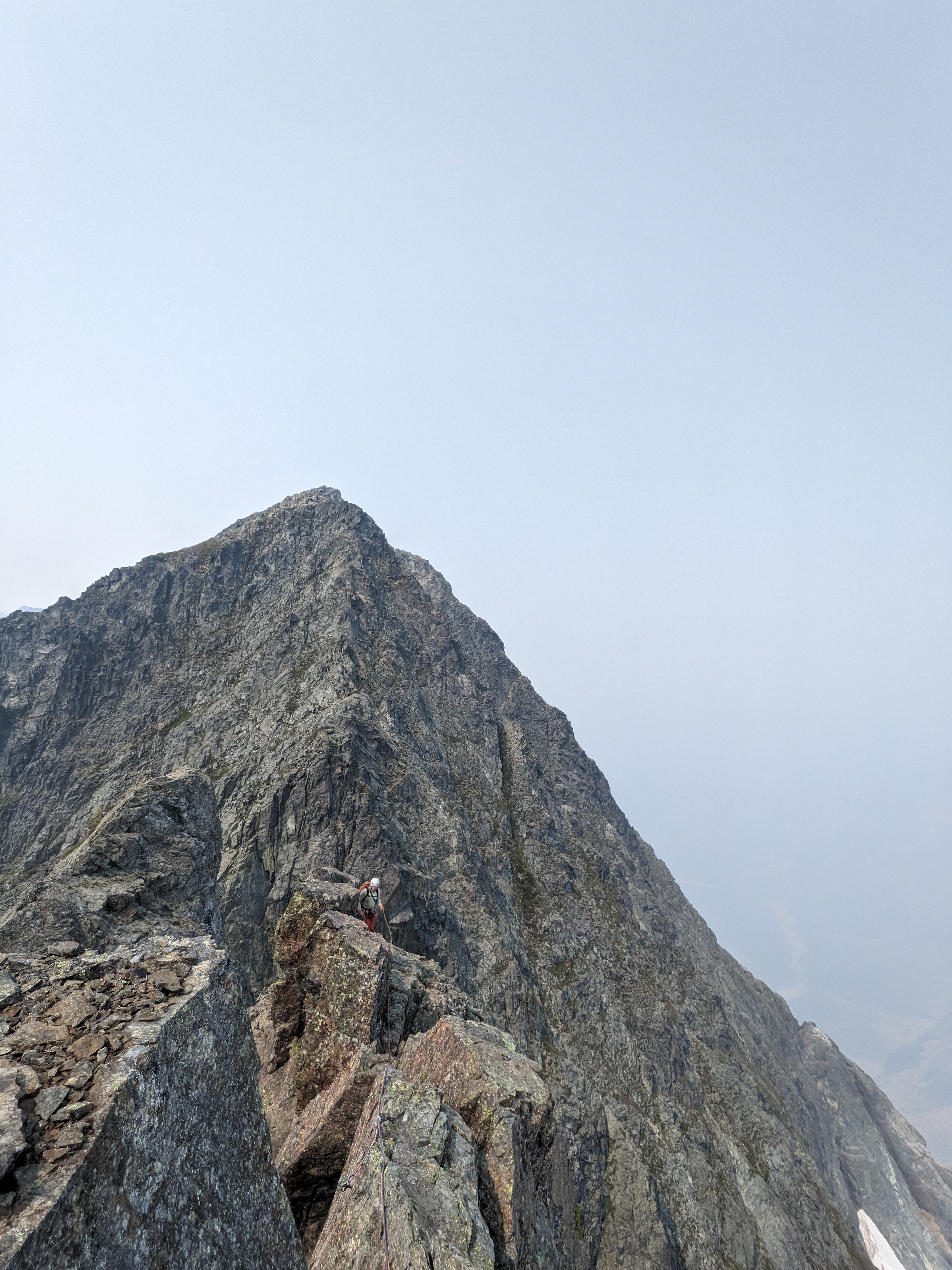
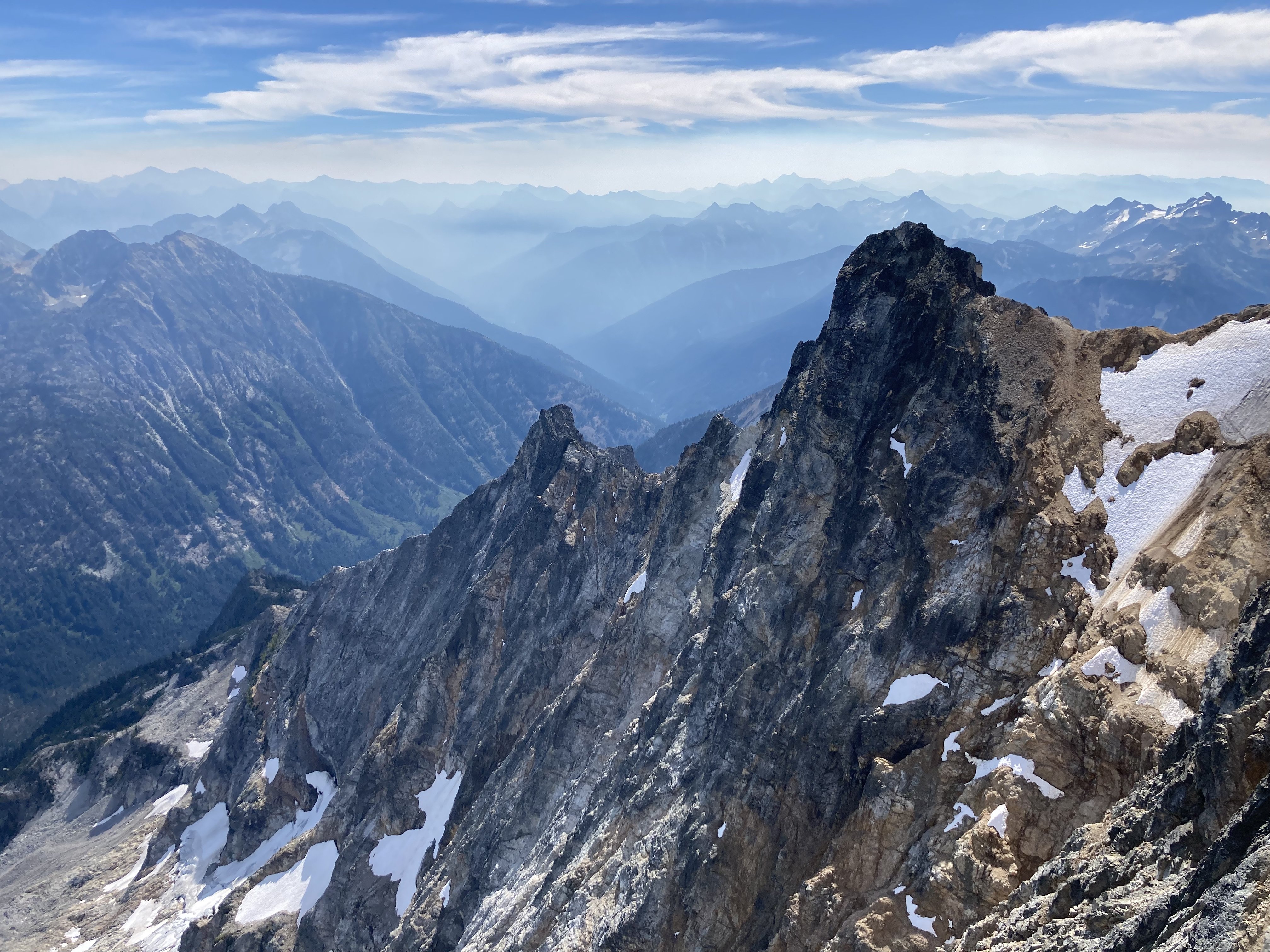
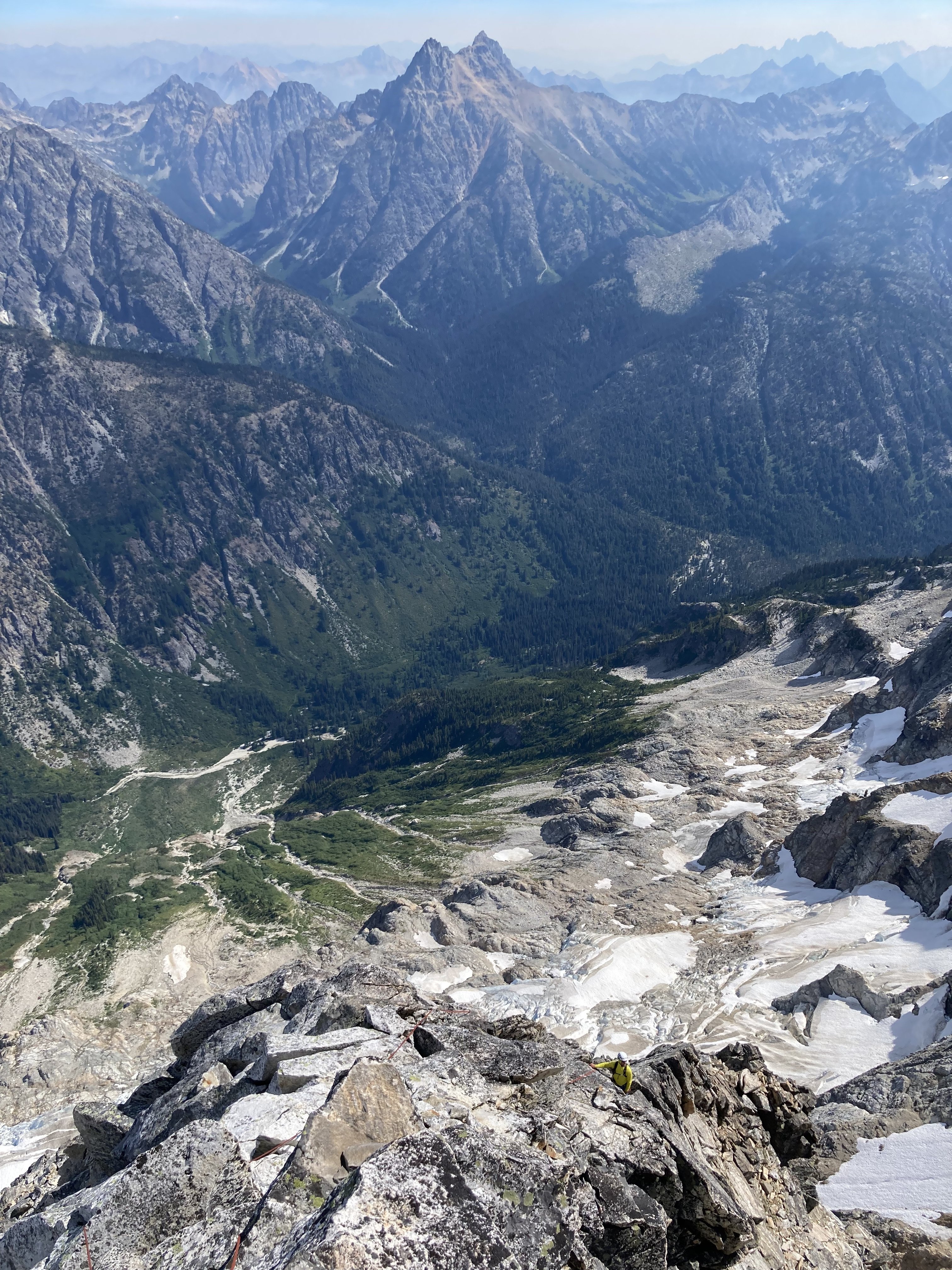
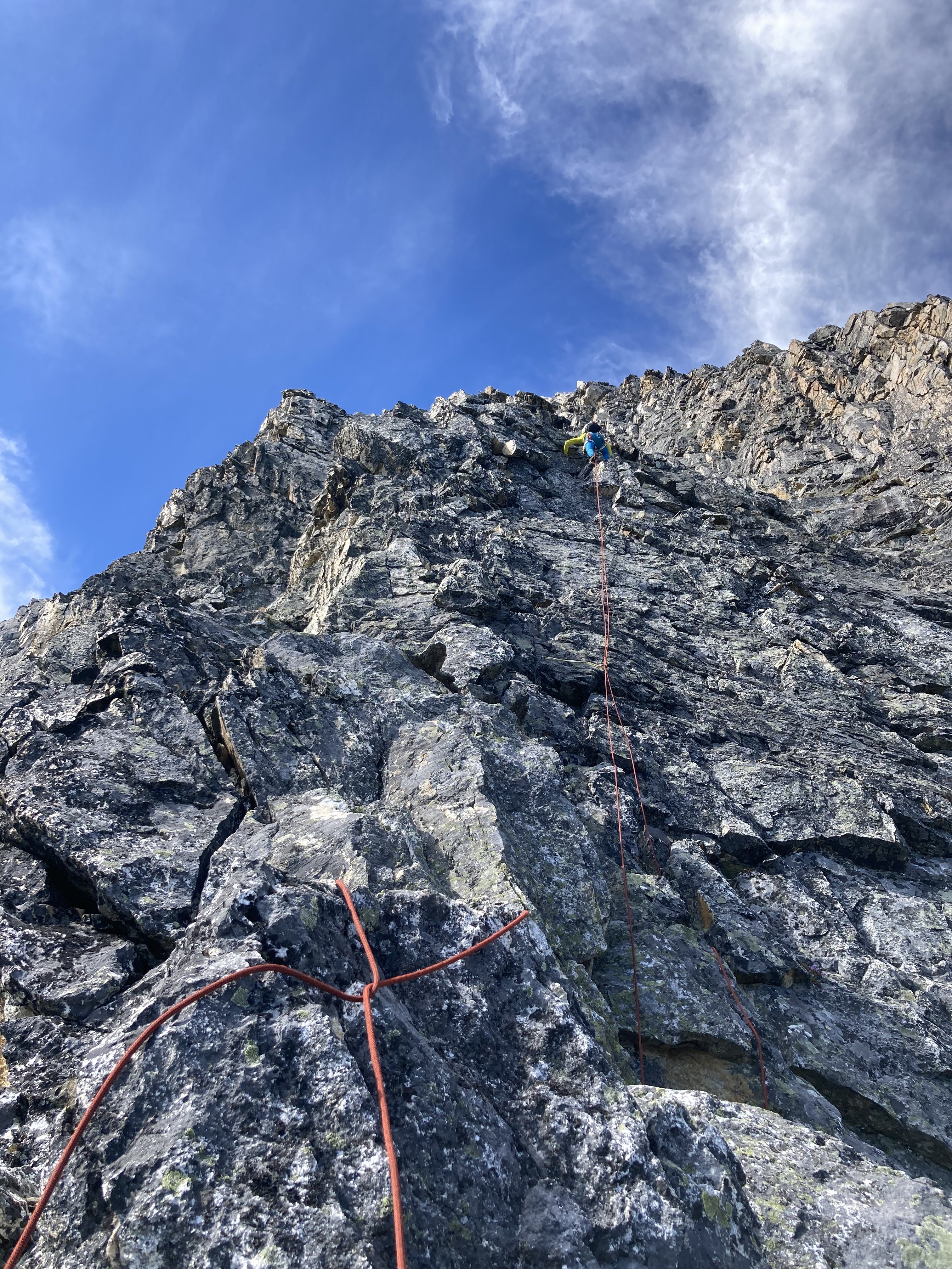
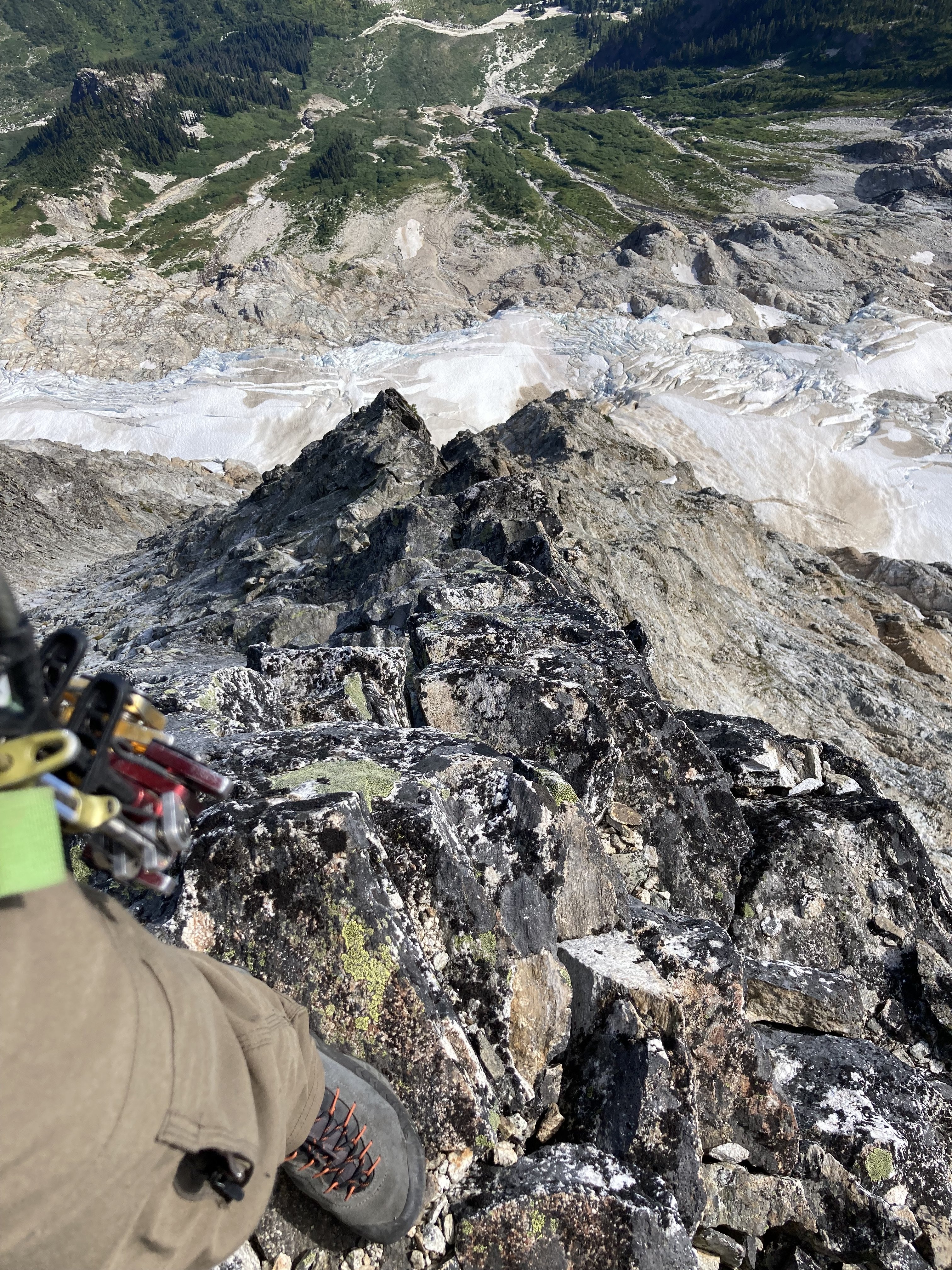
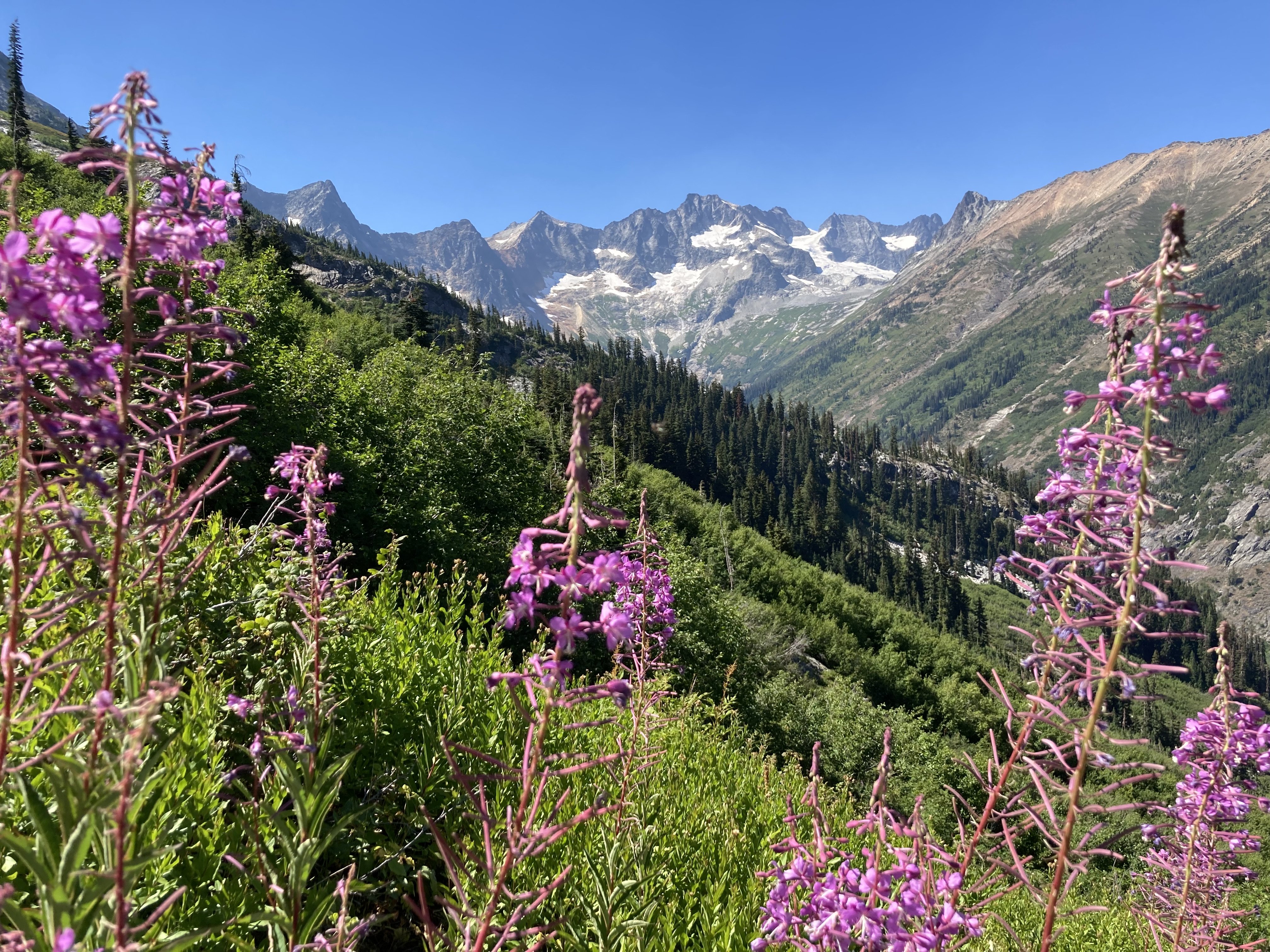
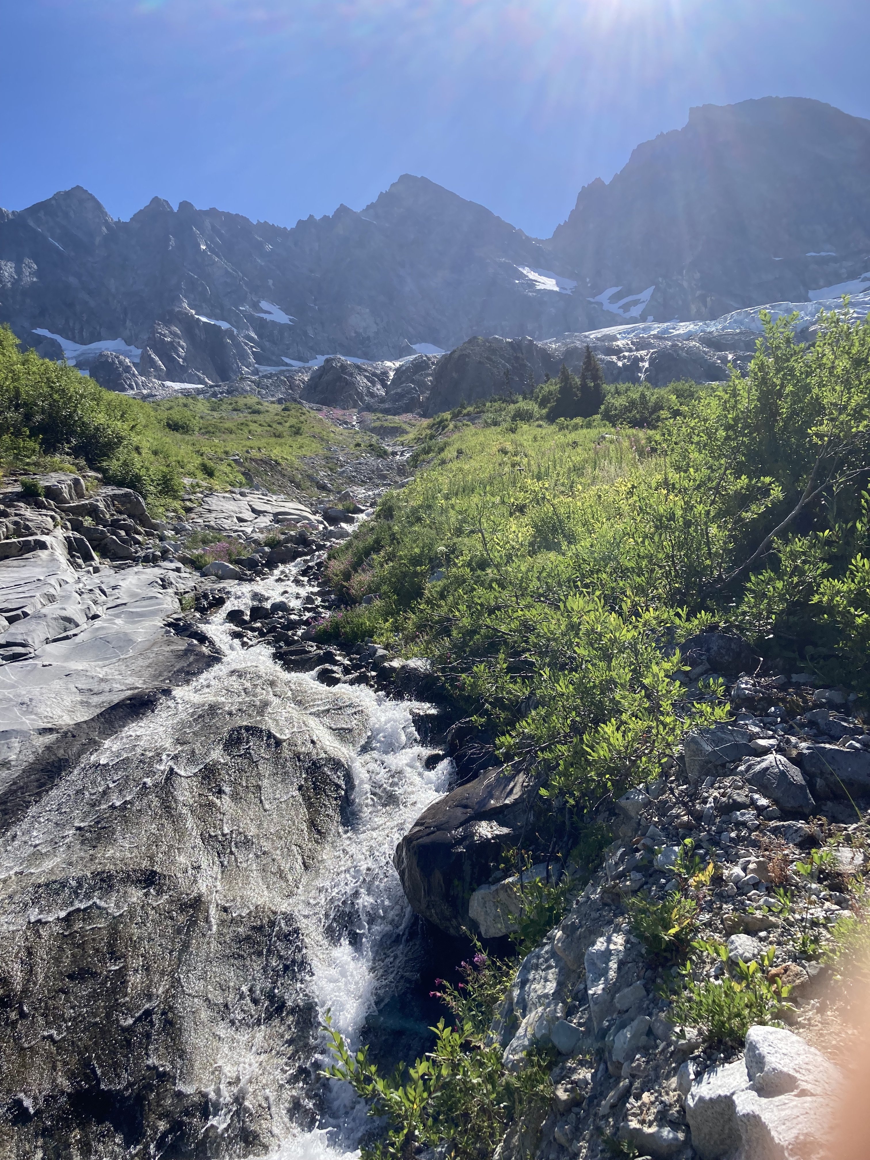
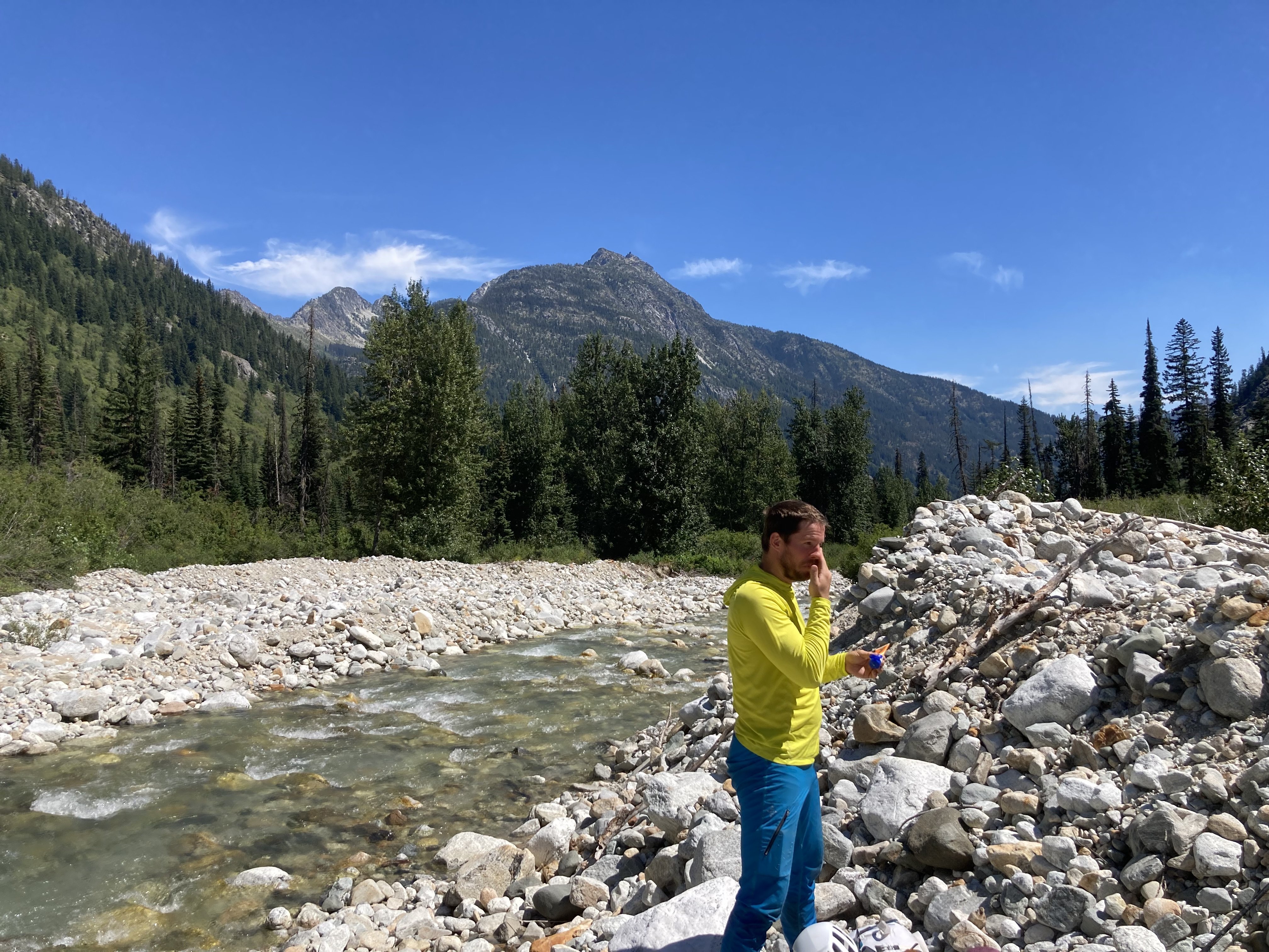
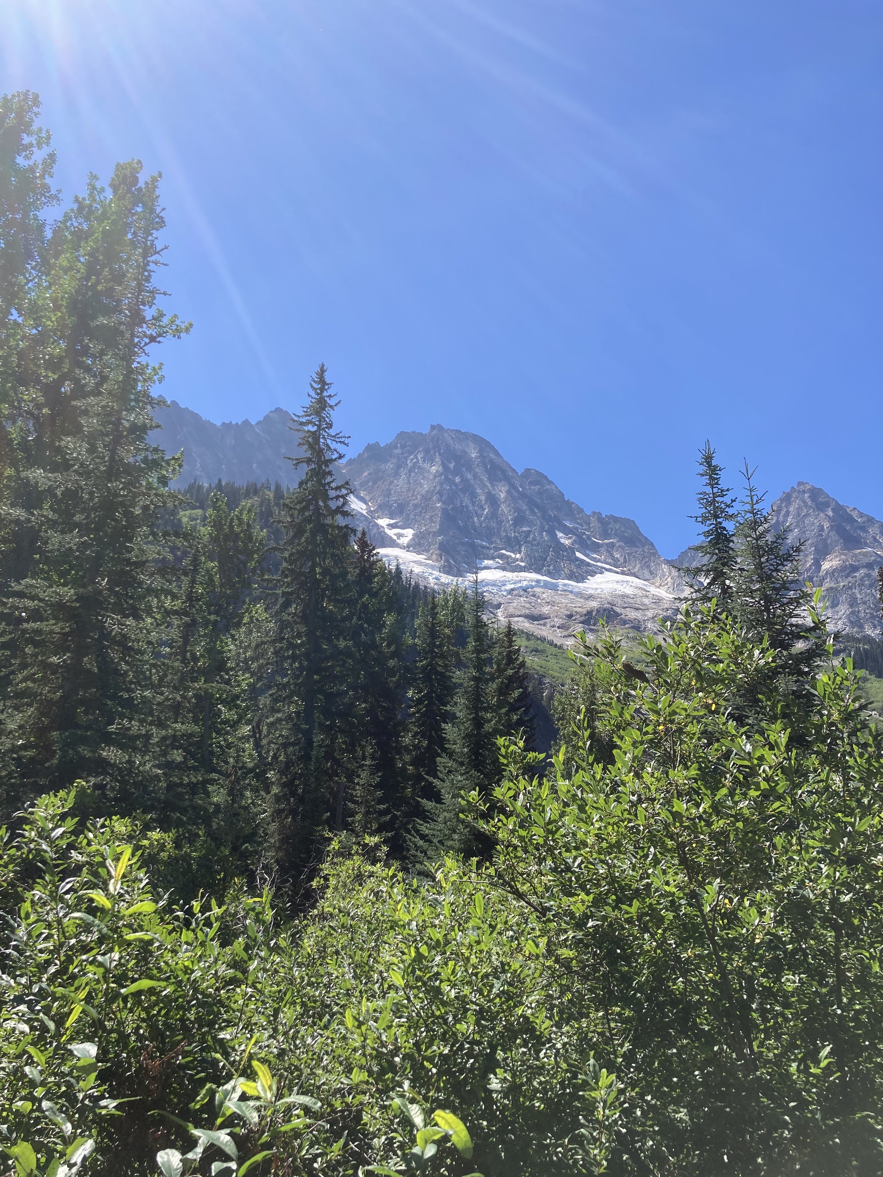
Trip: Dorado Needle - SW Buttress Date: 8/20/2011 Trip Report: When this is your plan B, you know you live in a pretty good part of the country. Unable to secure a permit for a particularly well known locale in NCNP, Gord, Curt and myself pulled the only permit for Friday night in the Eldorado XCZ. The only one! The trail doesn't mess around, so we tried not to either, arriving at the camp at the base of the east ridge in about 5 hours. There is now a composting toilet here, and it is easy to find meltwater just east of the camps. Gord and I went up to the summit of Eldorado for the evening light and were treated to one of the best views in the park. It never gets old. We turned in pretty early anticipating a long day, and set the alarms for 0430. It came early, much too early, interrupting my dream of Concrete yahoos burning donuts by our camp (on the glacier!)with their jacked up trucks. Imagine my surprise when I only awoke to a slight breeze, stars, and endless quiet. We were off about 0545 and traversed down, around, and up to the base of the route in about 2 hours. We were climbing by 0800, and Nelson is pretty spot on with his written description of the route (the line on the photo is a bit off, however). The route is pretty long (10+ pitches) and we were glad to have rock shoes for most sections. Most of the climbing felt hard enough to pitch out, and the rope drag would be pretty bad for simul-climbing unless you were pretty close to one another. There is one pitch in particular that is stellar, and Curt enjoyed every meter of it. About as good a pitch as I have climbed anywhere in the mountains! Most of the other pitches have some looseness, but not bad at all for the mountains. It took us about 6 hours to reach the summit. On the descent, we down climbed back to a rap anchor and did a 10 and a 30m rap to the glacier. We had to swing over the gaping moat to get on the snow, but it was better than it looked from above. We quickly (well, slowly) returned back to camp (@~1700)to pack up and descend before dark. We just made it, arriving back at the car at 2015. Unfortunately Good Food was closed, as was Annie's, so we settled for Bob's in Sedro. Good burgers to round out an excellent trip!! Photos are much better than my writing though, so here is our trip, flip-book style. Let me know if you want captions. The SW side of Dorado Needle, the buttress is left of center in the photo. Taken from the summit of Eldorado the day before: Gear Notes: Medium rack to 3" seemed to work well Approach Notes: The trail just gets better by the year!1 point



.jpg.665da318aaadeabf7108c4d61bc98dad.jpg)