Leaderboard
Popular Content
Showing content with the highest reputation on 09/06/22 in all areas
-
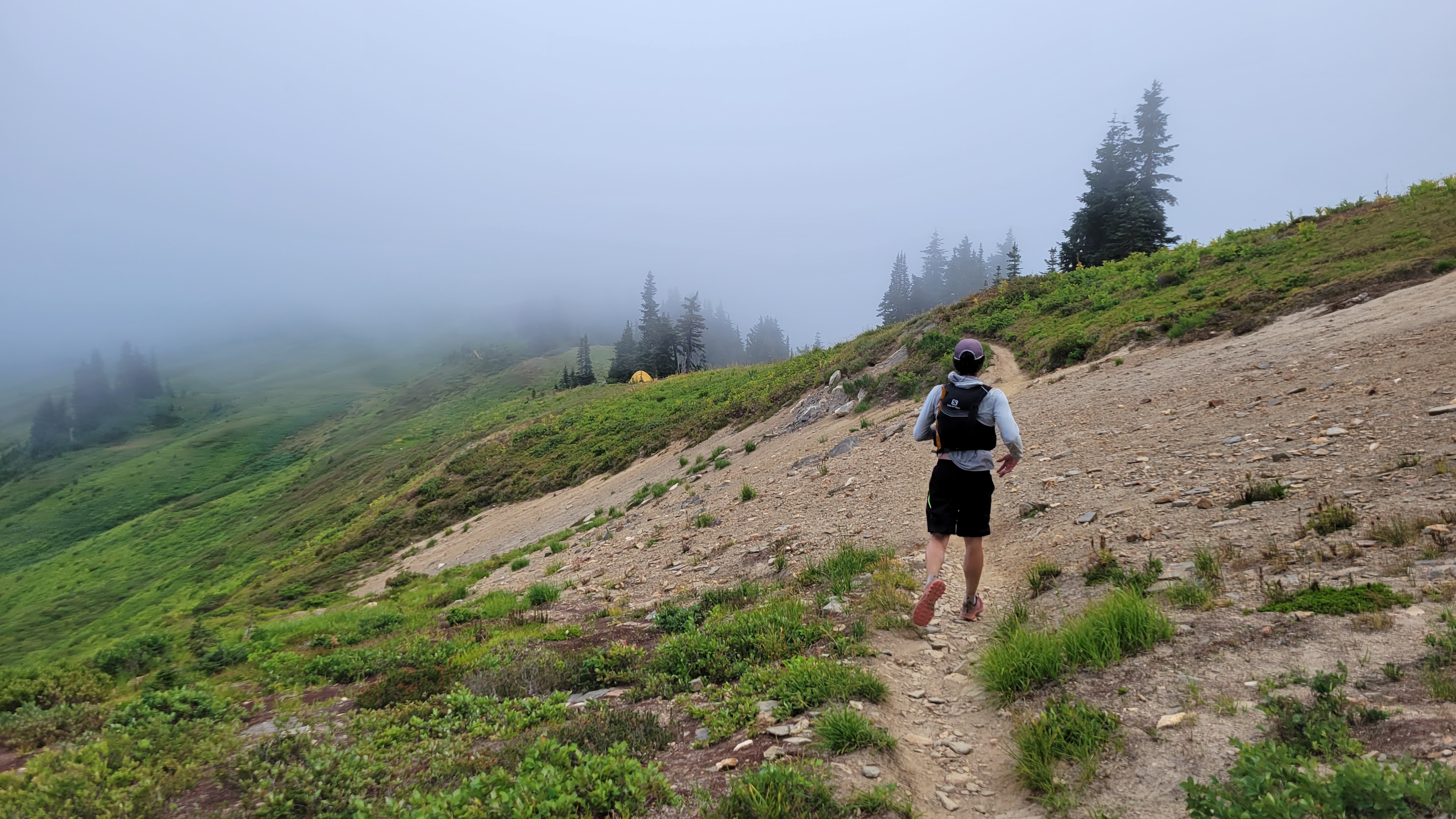
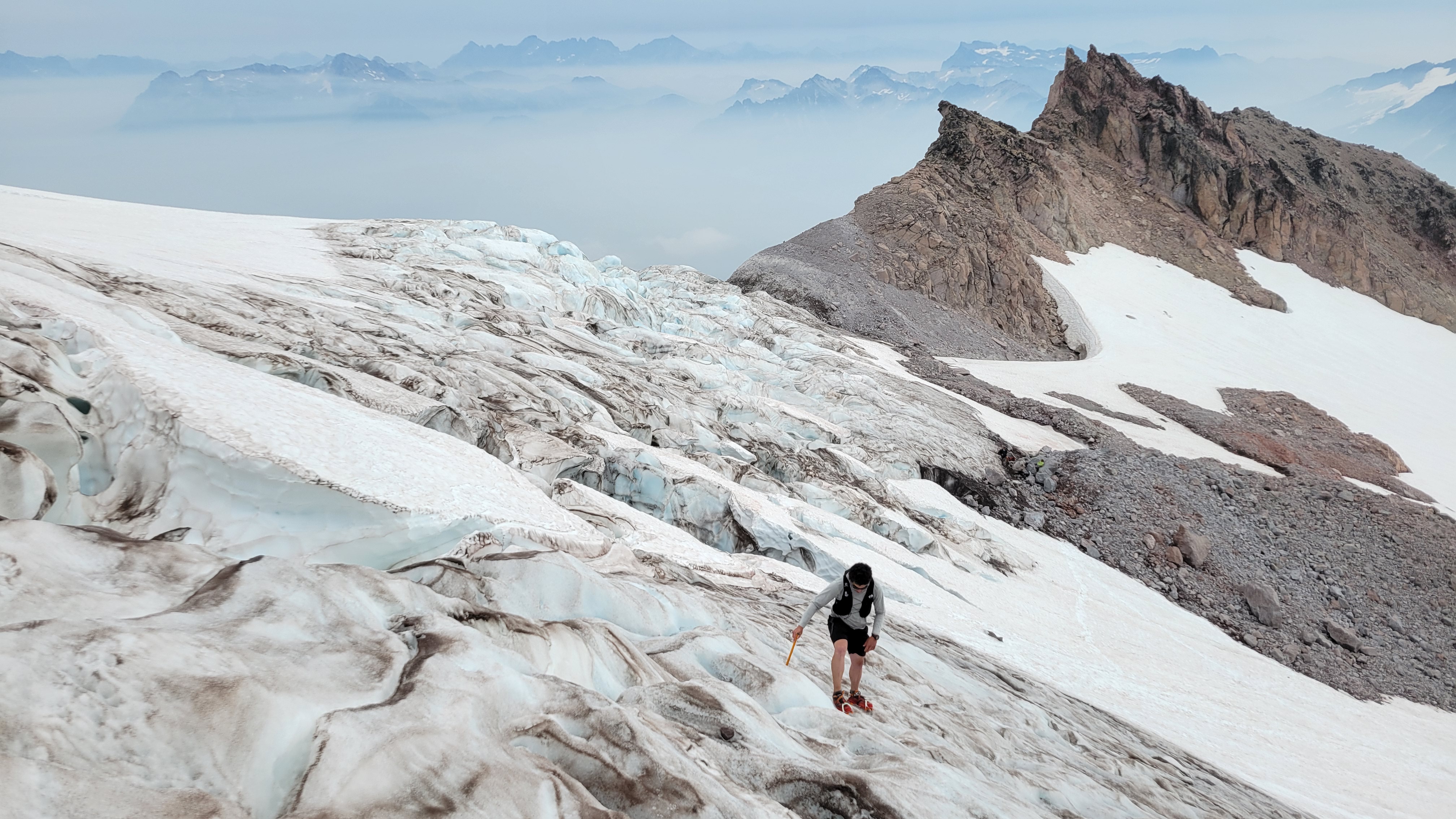
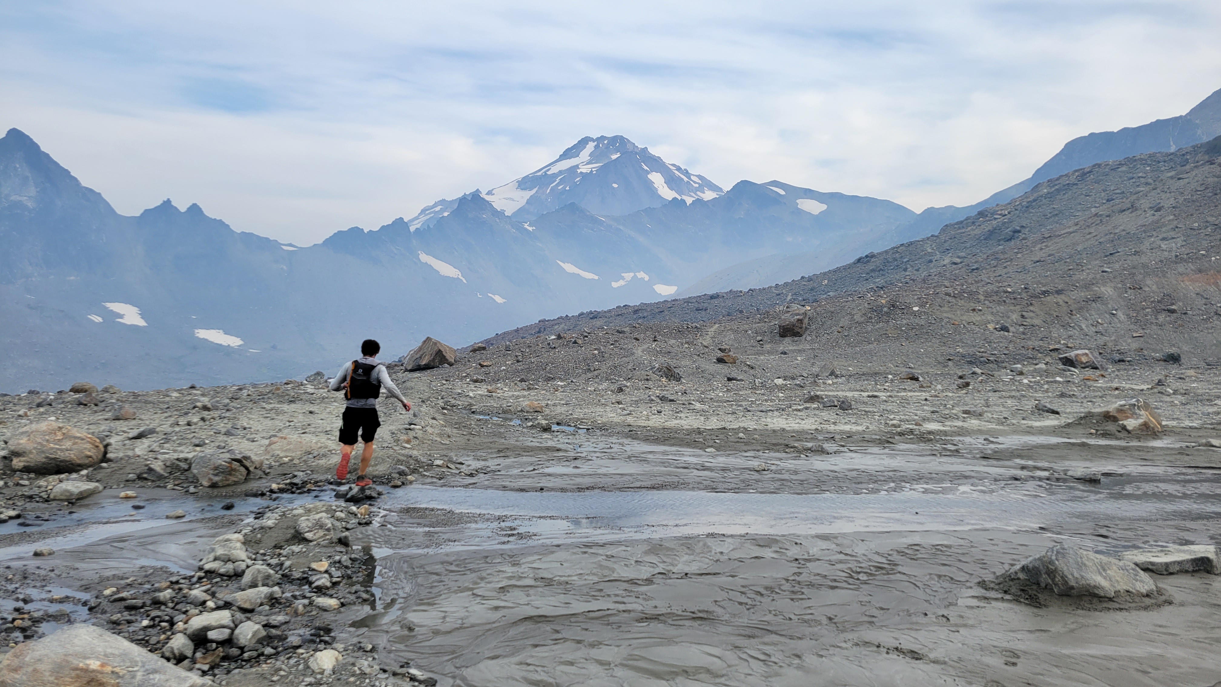
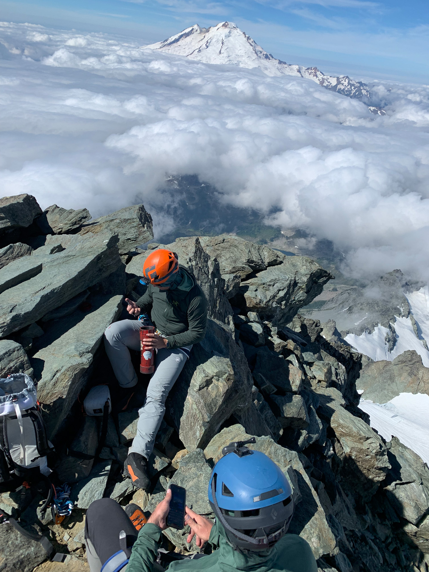
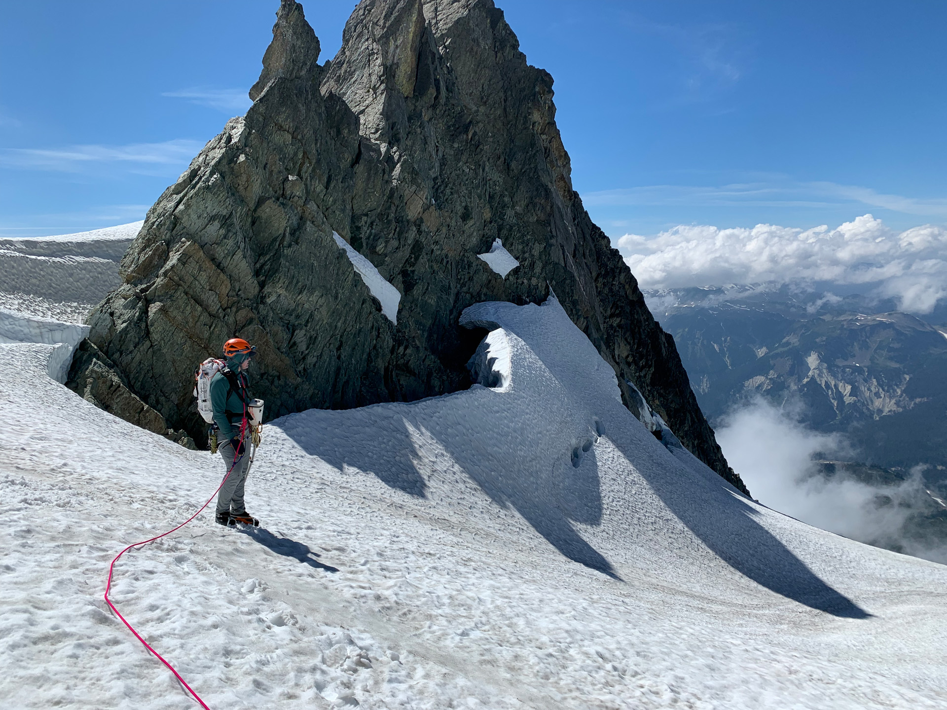
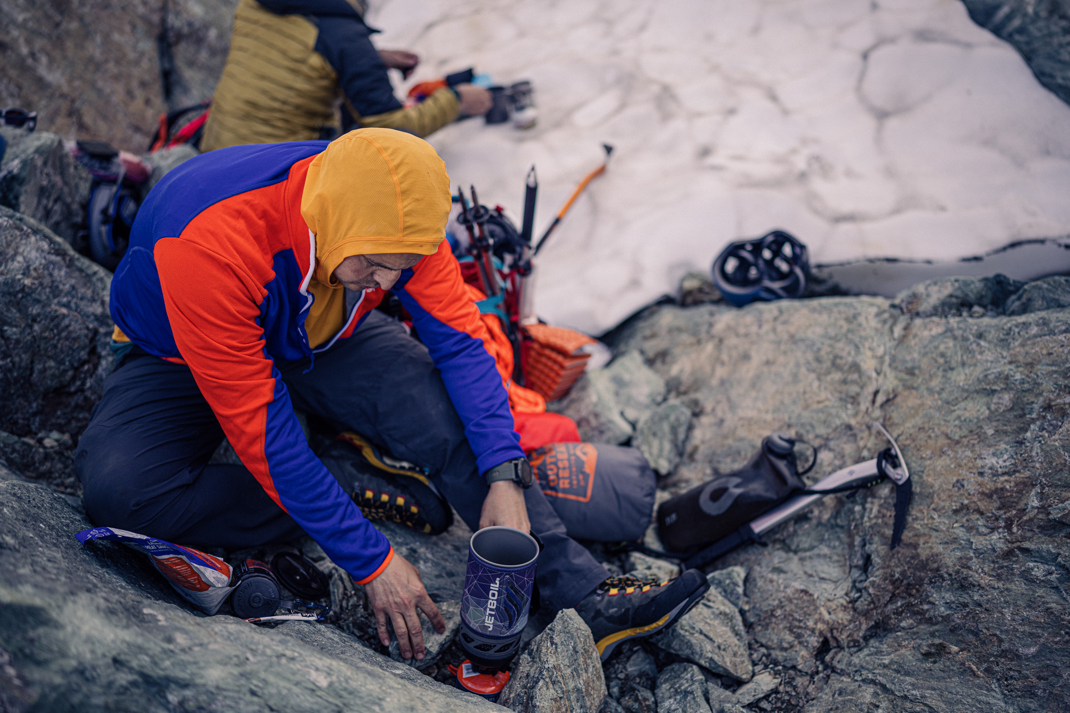
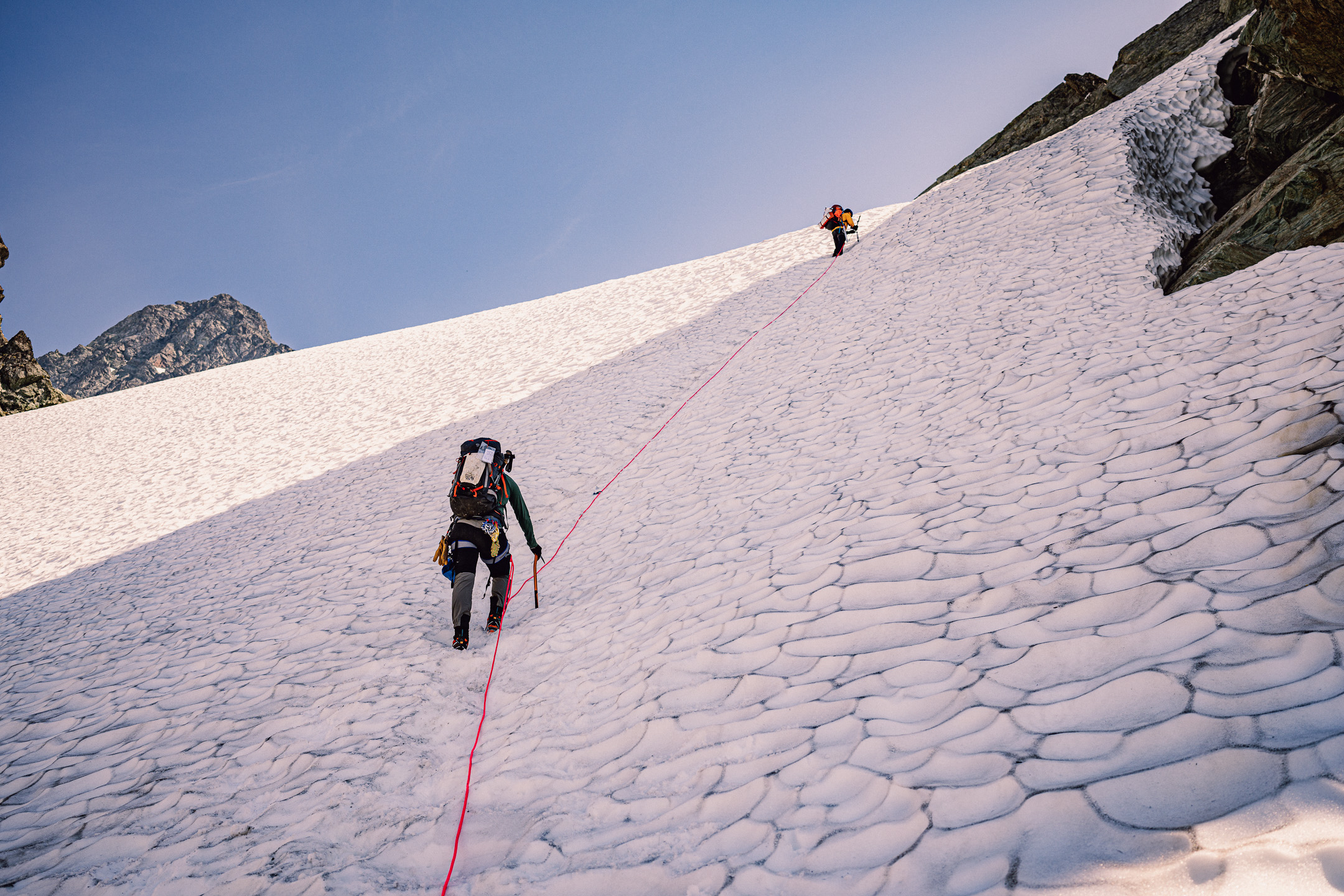
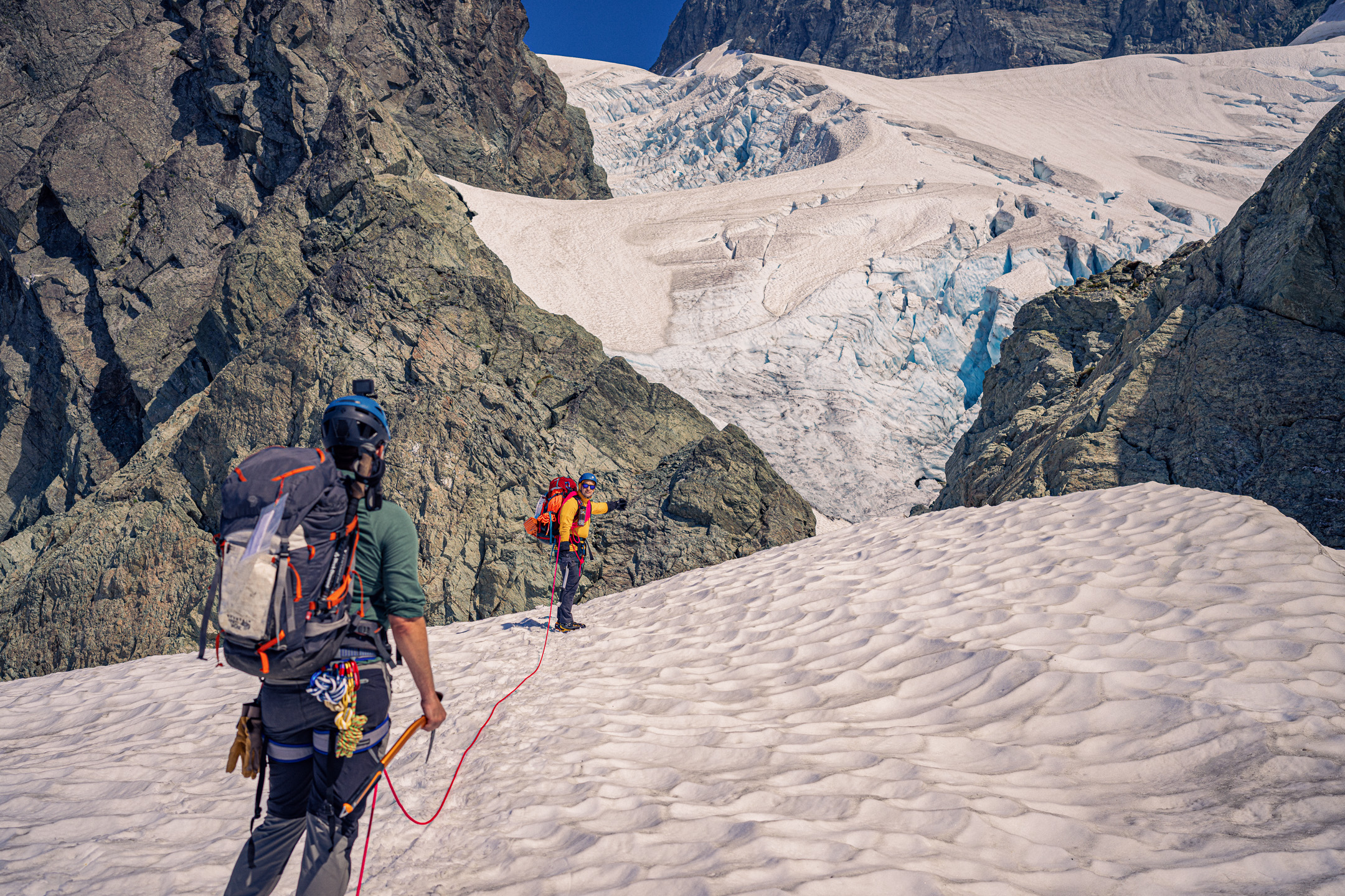
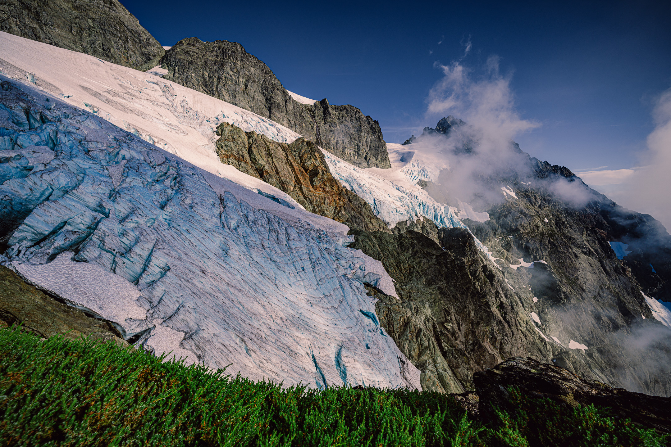
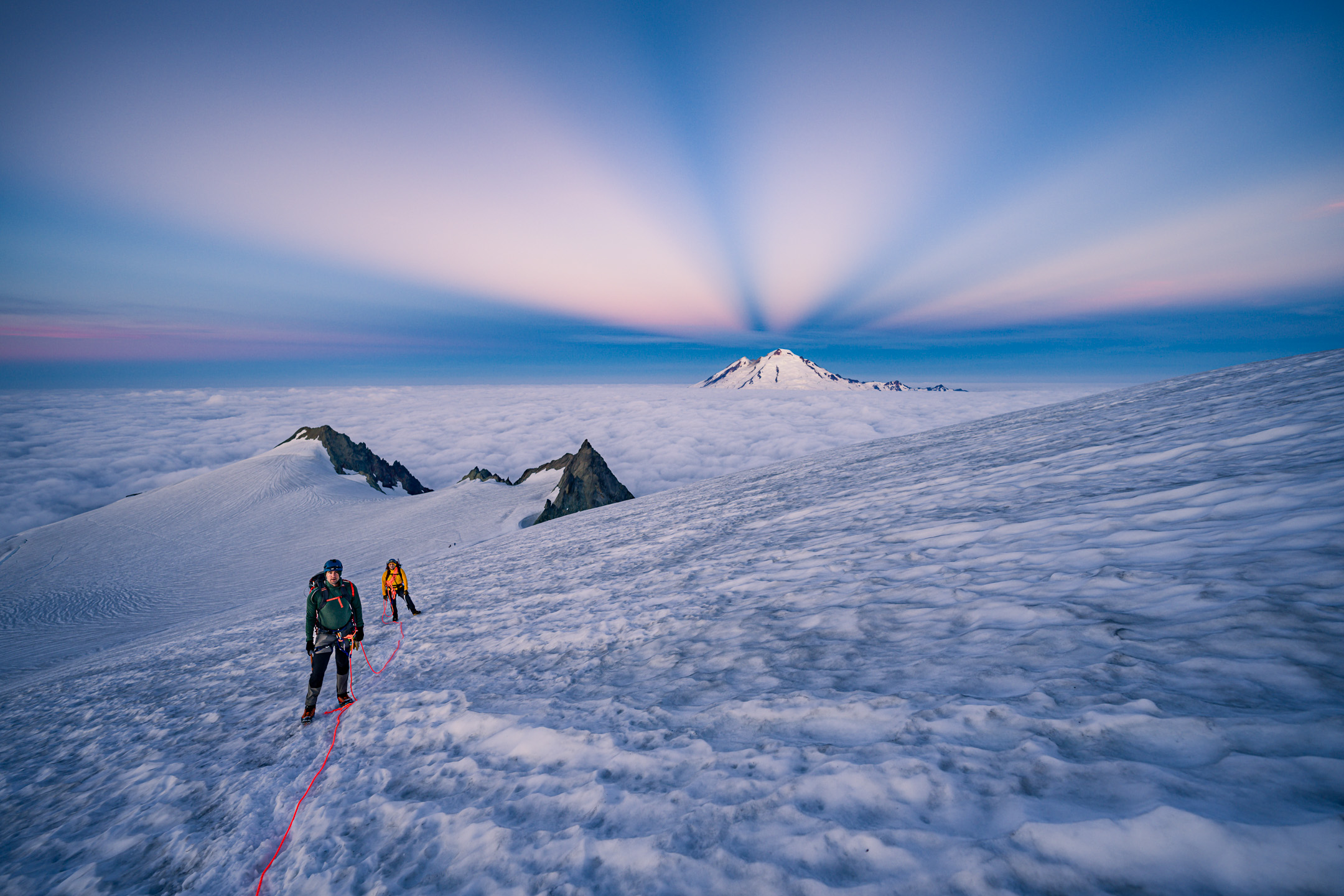
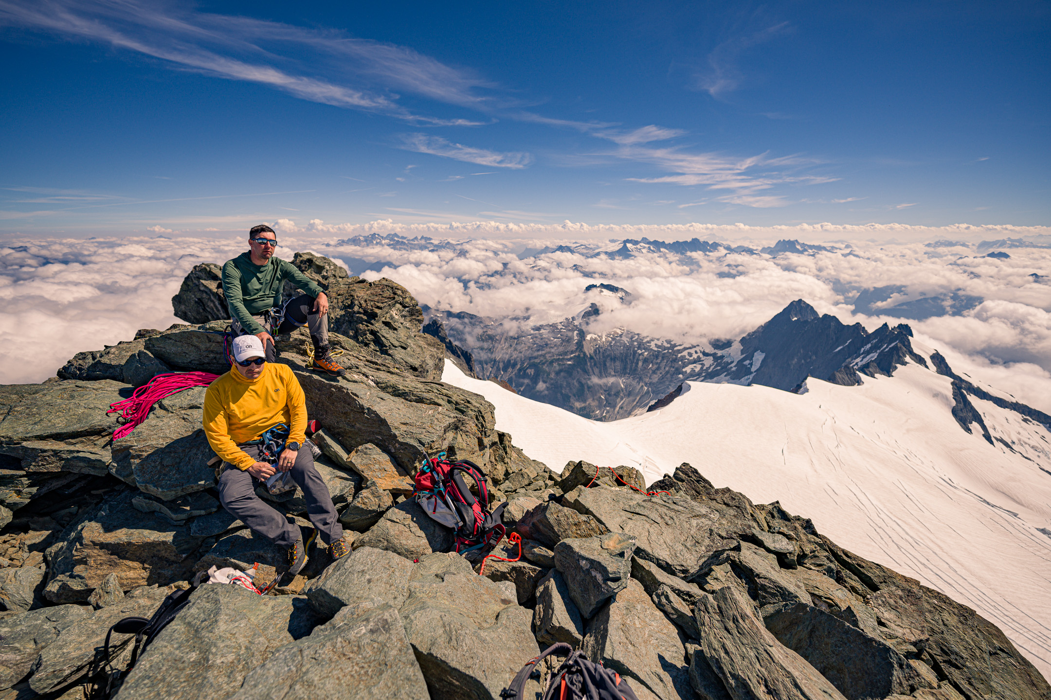
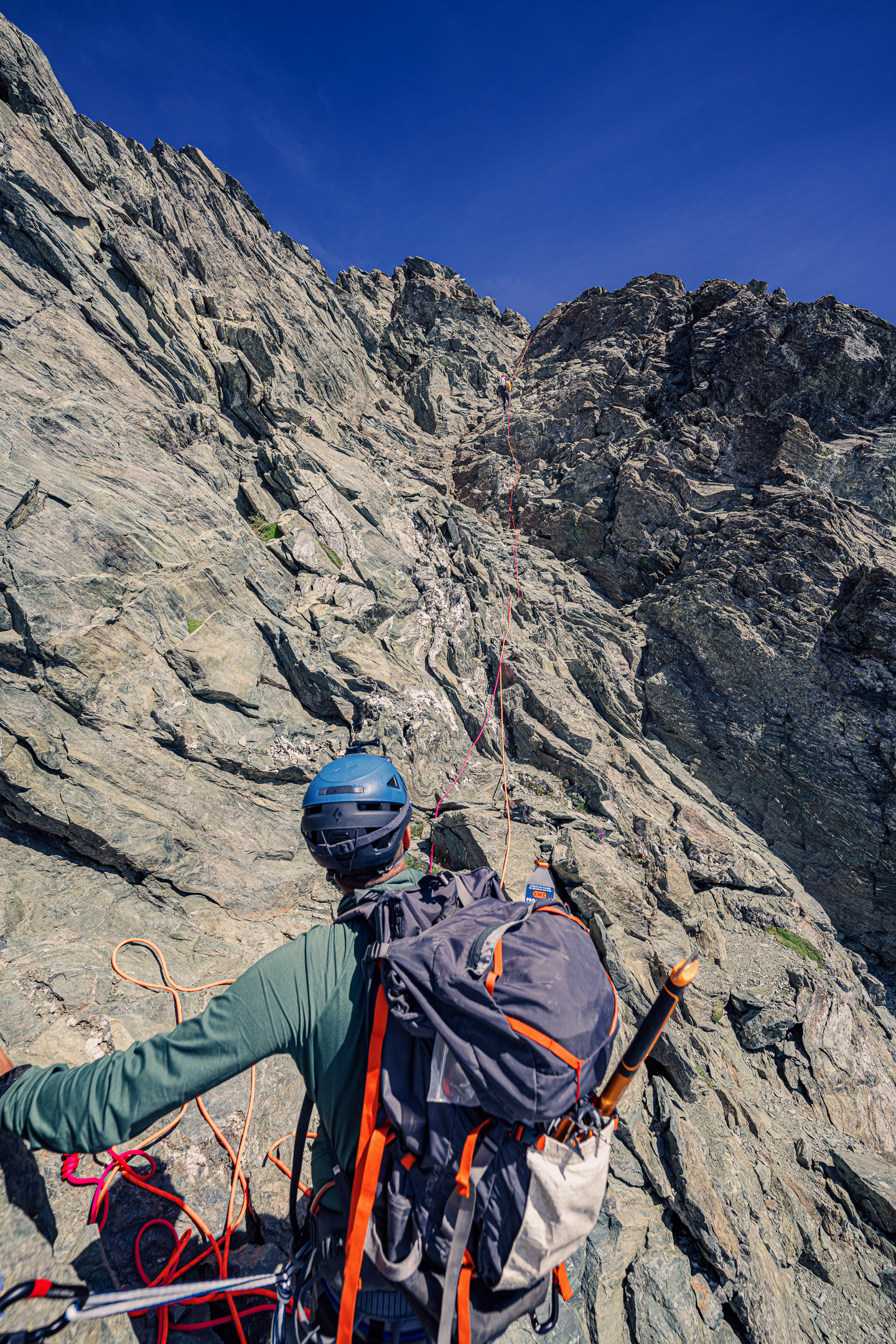
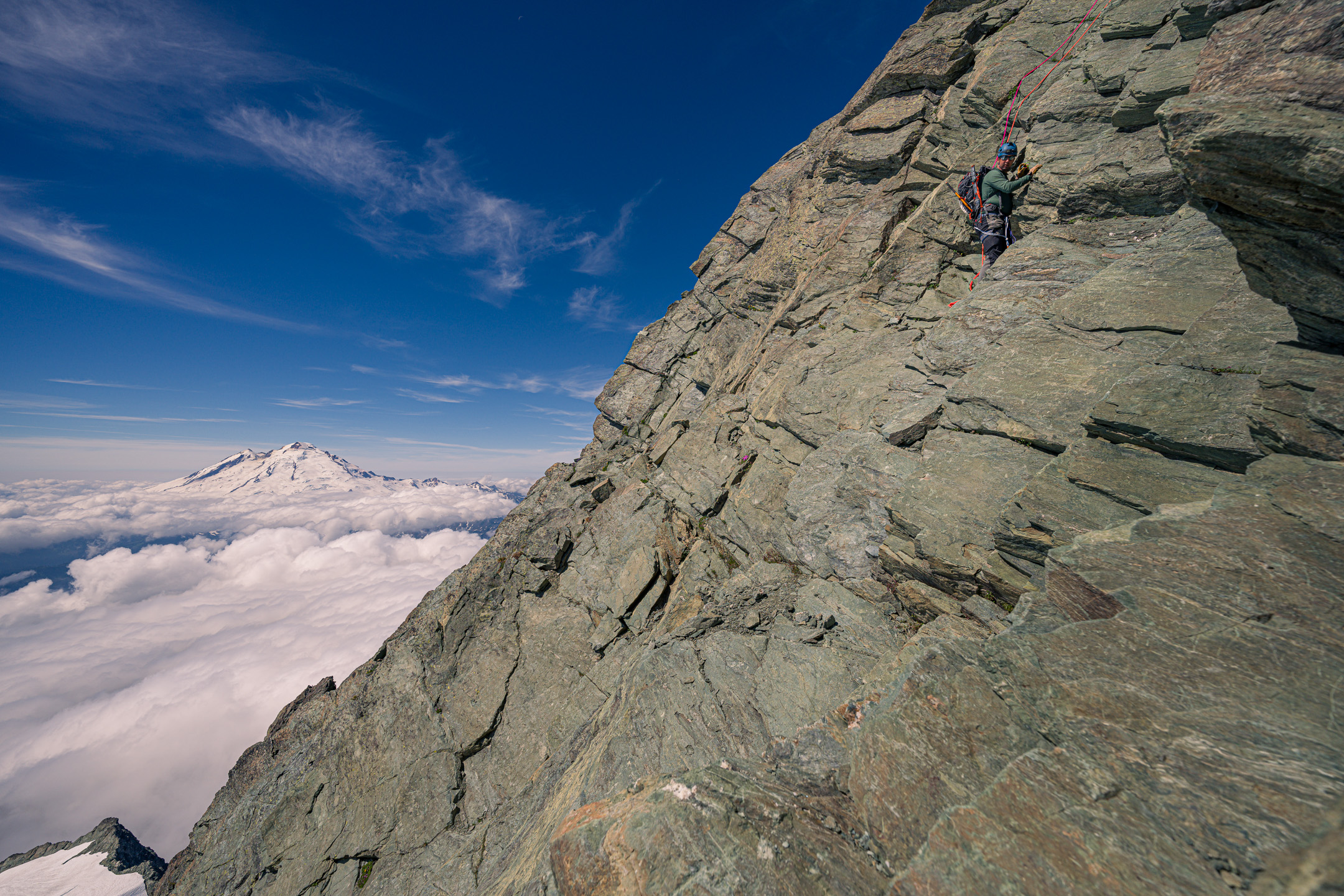
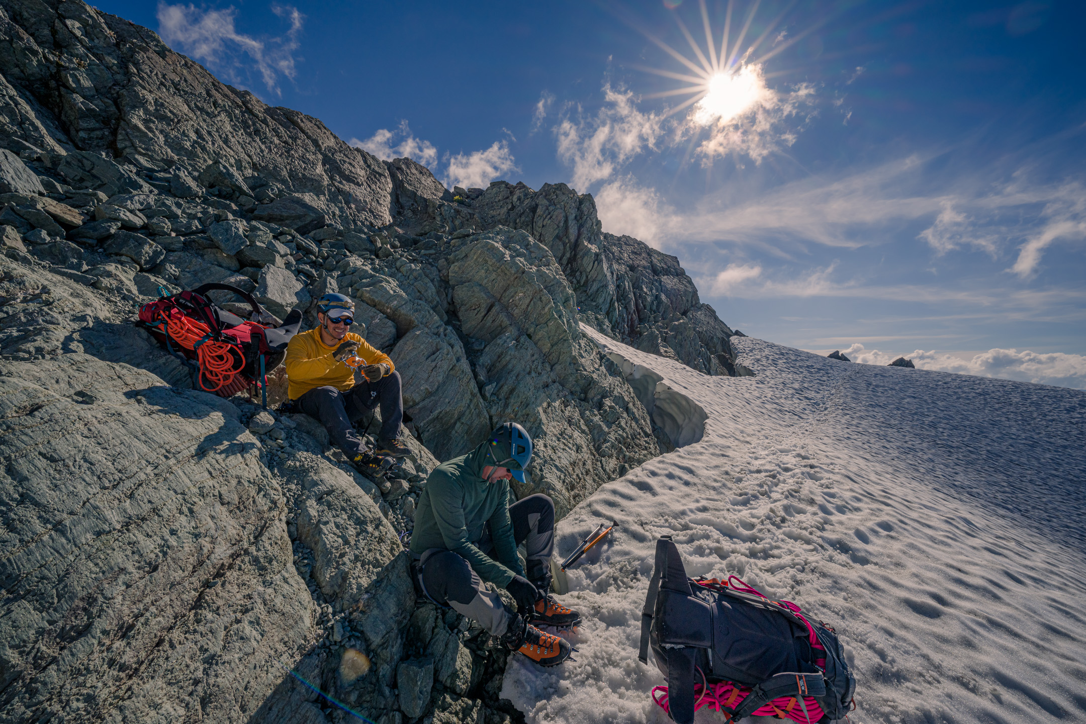
Trip: Glacier Peak - Cool Glacier Trip Date: 09/03/2022 Trip Report: Me and @MGraw and figuratively everyone else did Glacier Peak over the long weekend. To avoid most of the crowds we did it on Saturday as a run. We started at 4:50am, summited at 12:30, and hit the TH again at about 6:45 for a c2c of just under 14 hours. We thought that was pretty good but it's 2.4 times the FKT. More importantly for those interested... The conditions update!: The trail has ample water sources everywhere until about .5 miles past glacier gap, then none except on the ice of the glacier if you want to hunt for it. The trail is in excellent shape, recently brushed and re-graded to White Pass. The Cool Glacier has a tough entry with some blue ice walking through a serac field. It's low tech (no overhead hazard, you're on top of the seracs). But not really protectable and probably best avoided if you've never walked on solid ice. Several parties turned abck at the look of it. We found it very doable in runners and aluminum crampons. After that there are some bridges, but it's grade 1 glacier wlaking. Personally I thought the boot pack was kind of unnecessary sketchy, crossing very close to exposed ends of cracks where, from a different angle, you could see it was overhung. We took the far climbers left edge of the glacier immediately next to the rocks of the east ridge of Disappointment Peak. It was quite safe. The whole route is really pretty with great meadows, straightforward route finding, and a nice summit. A good time was had by all. Now my legs hurt. The boot pack goes from the farthest point of rocks about halfway from Mike's head to the ridgeline angling up left: Gear Notes: Aluminum crampons and axes, sneakers, Salomon advanced skin 12 packs. Approach Notes: Good water access all over, great trail, beautiful.3 points
-
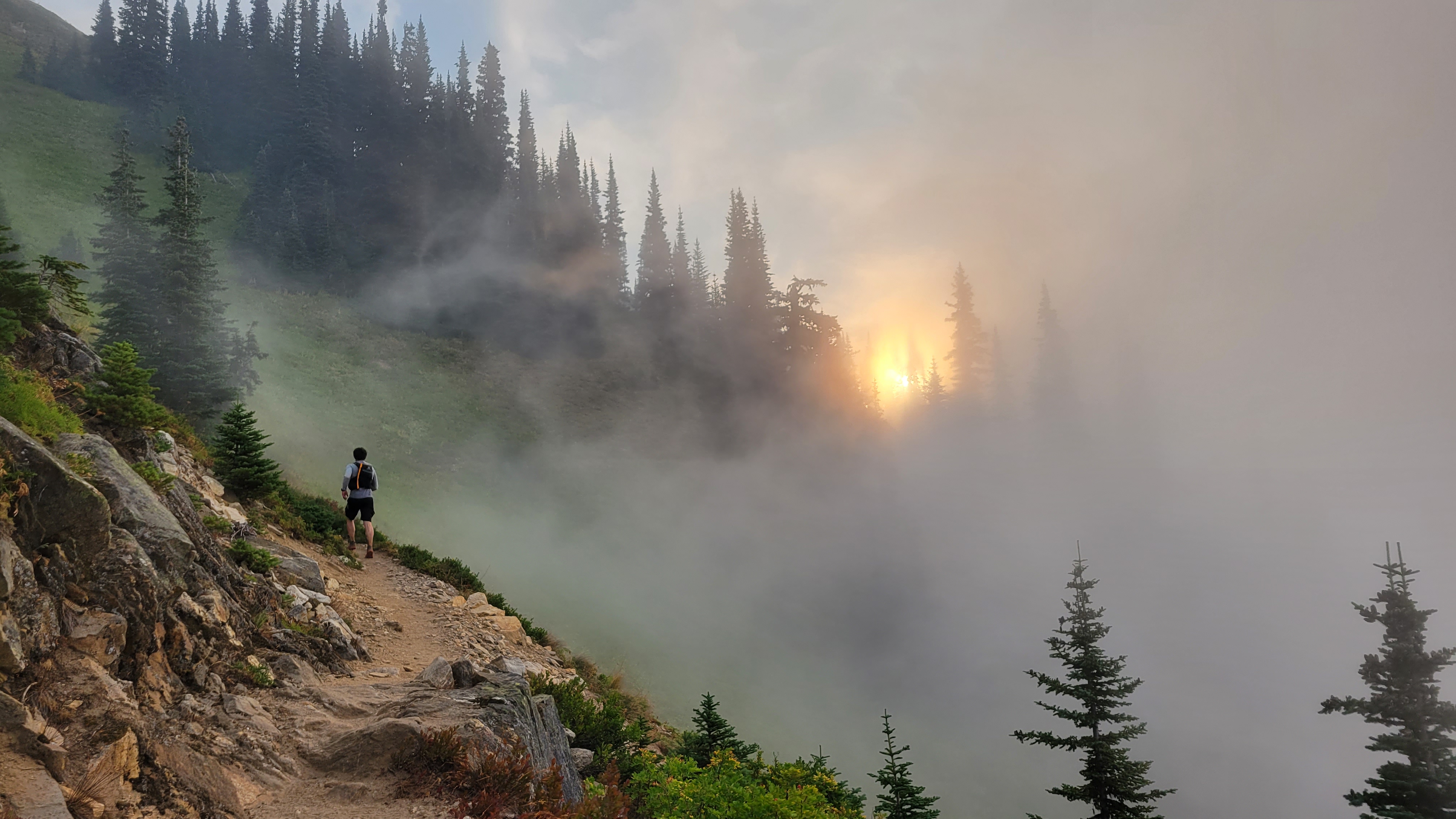
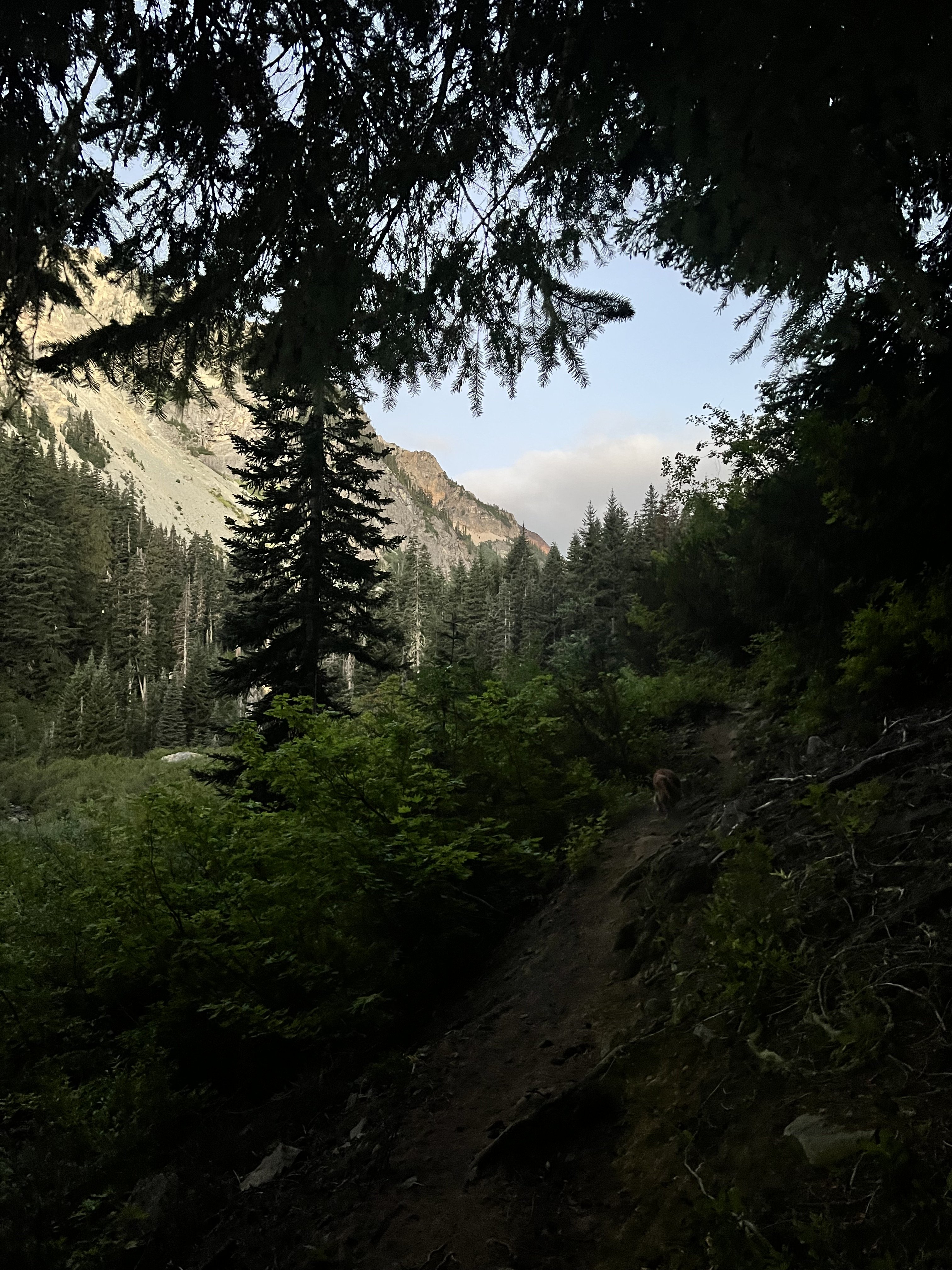
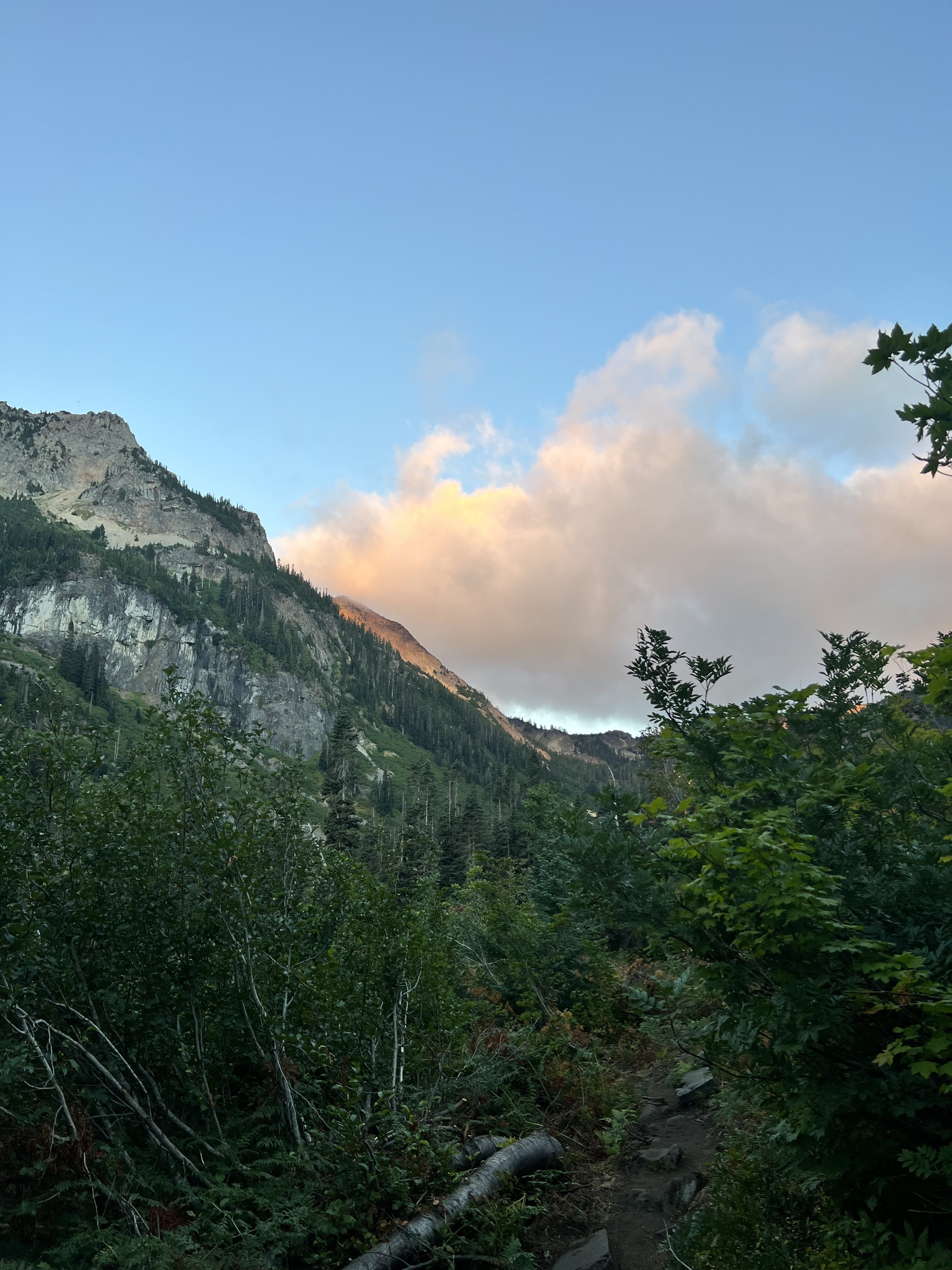
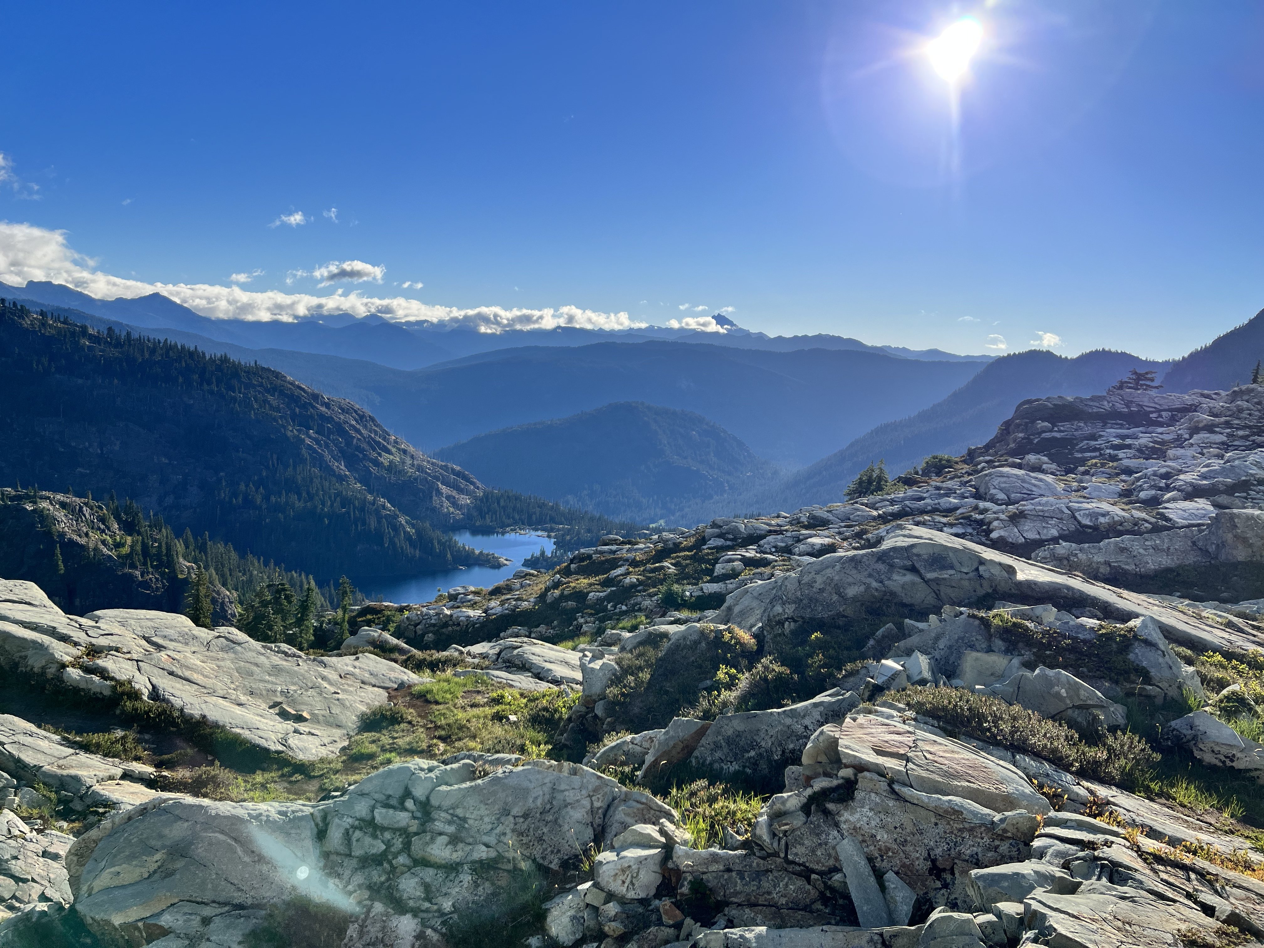
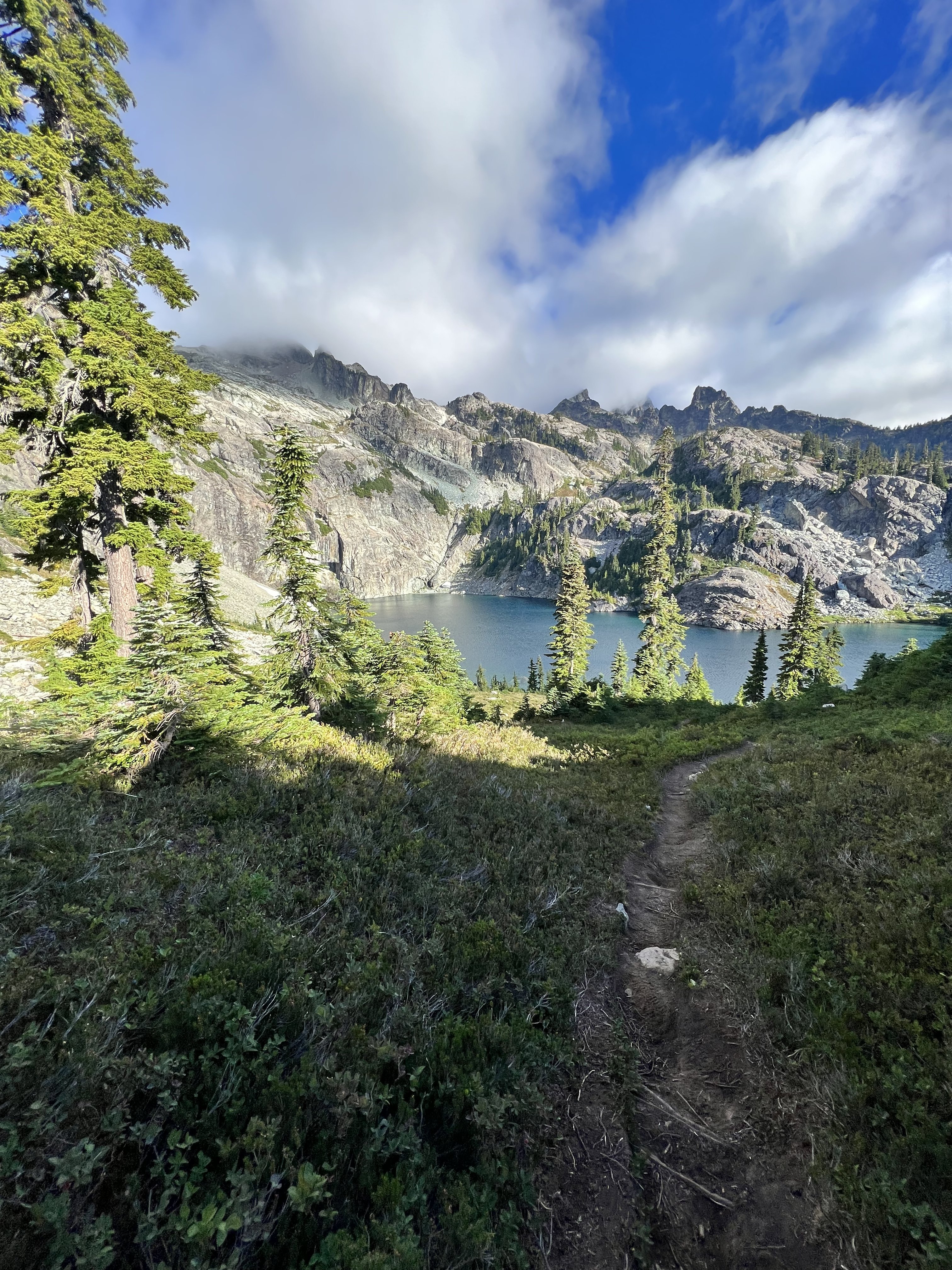
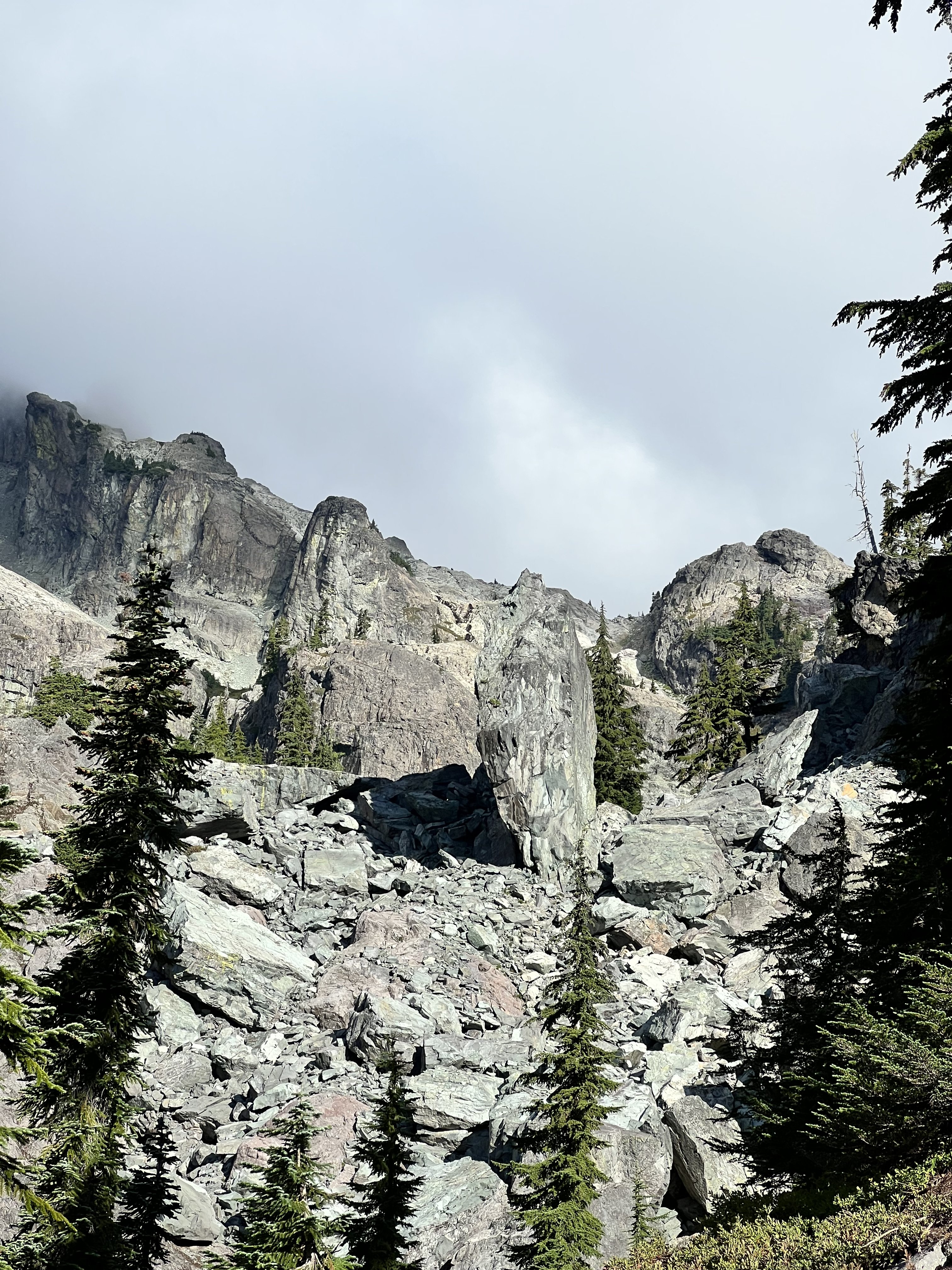
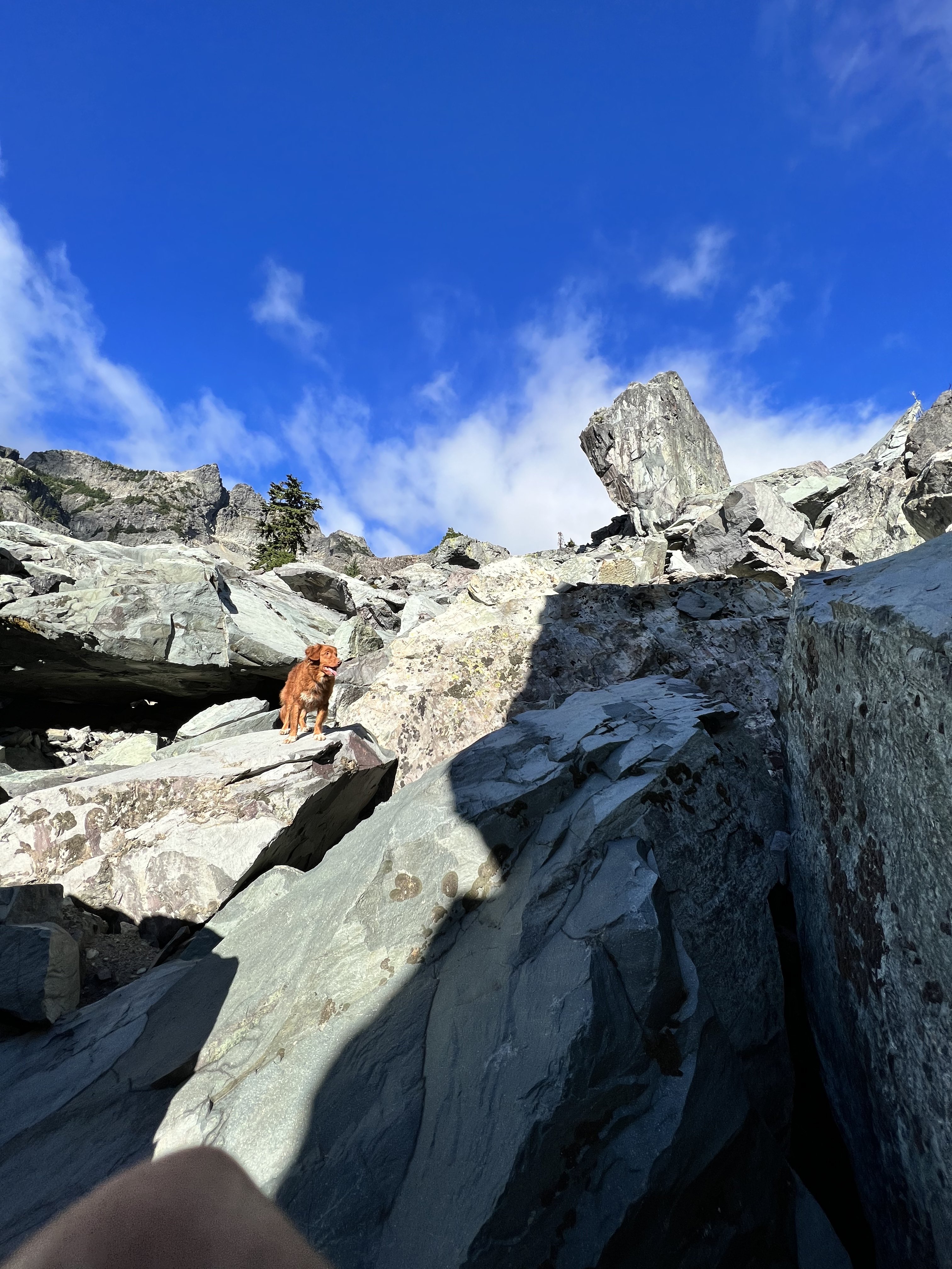
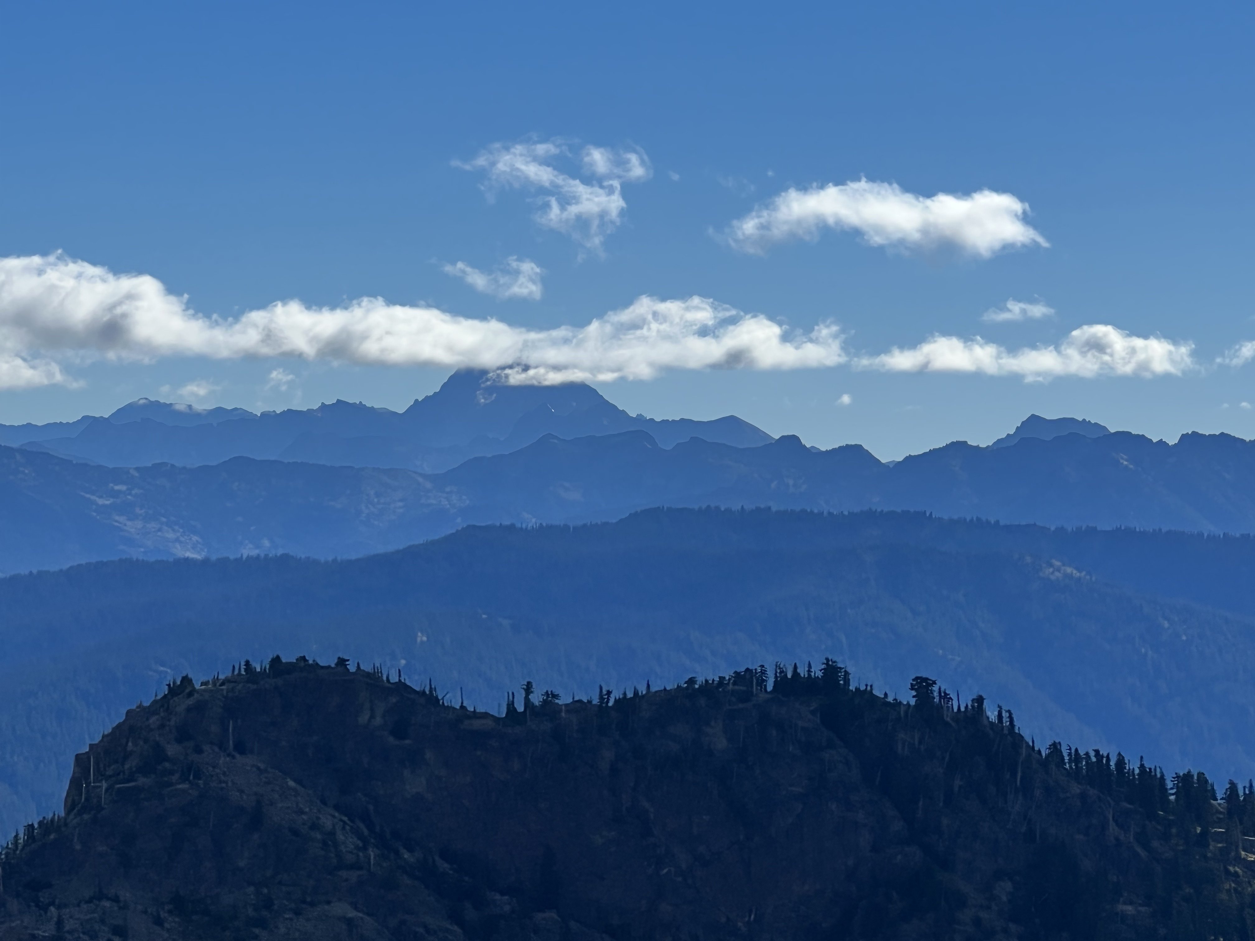
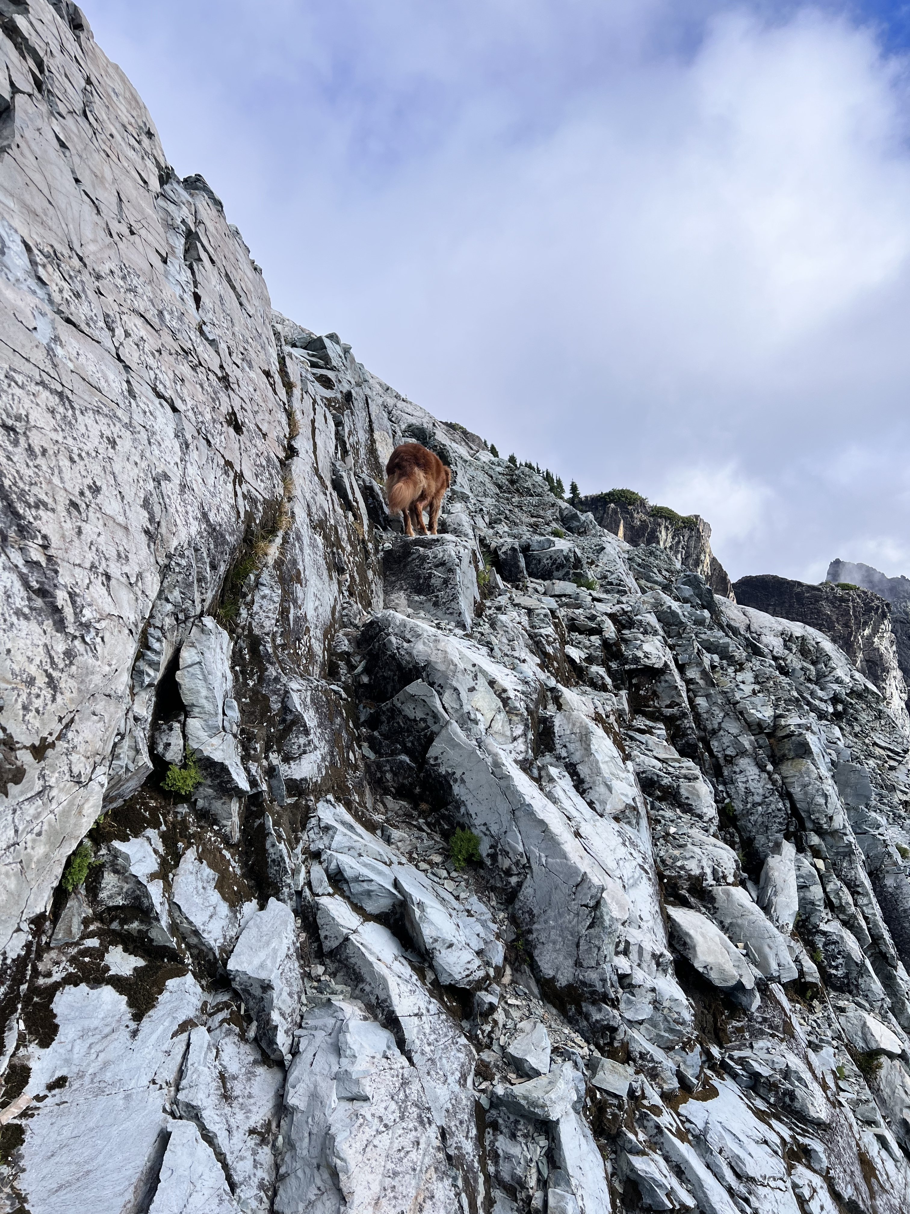
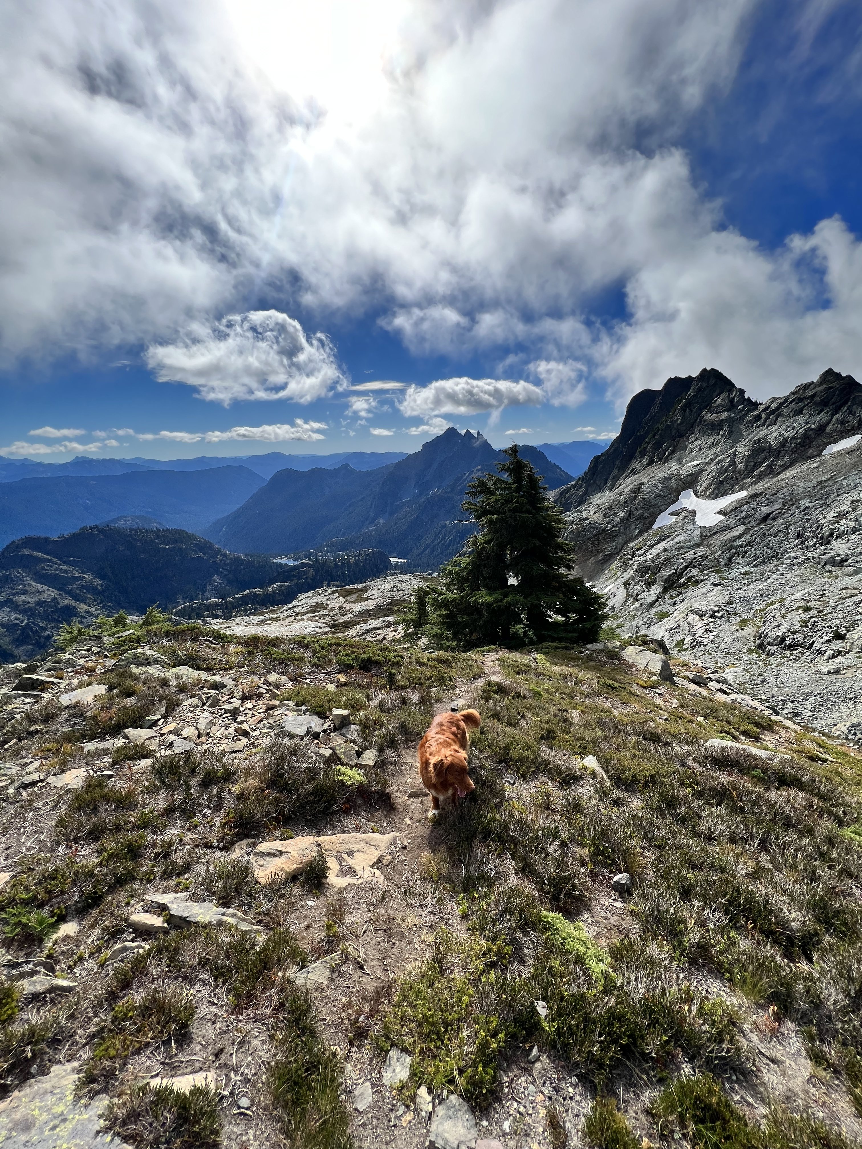
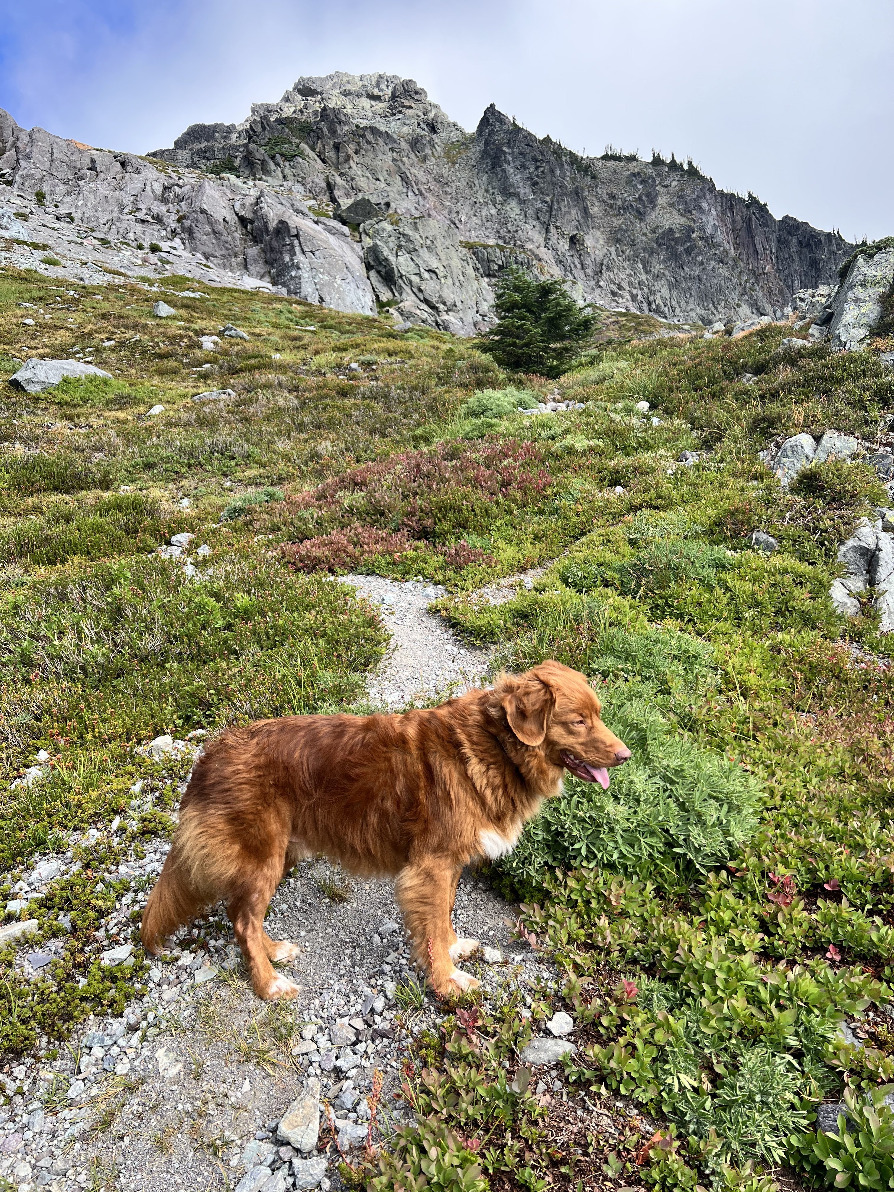
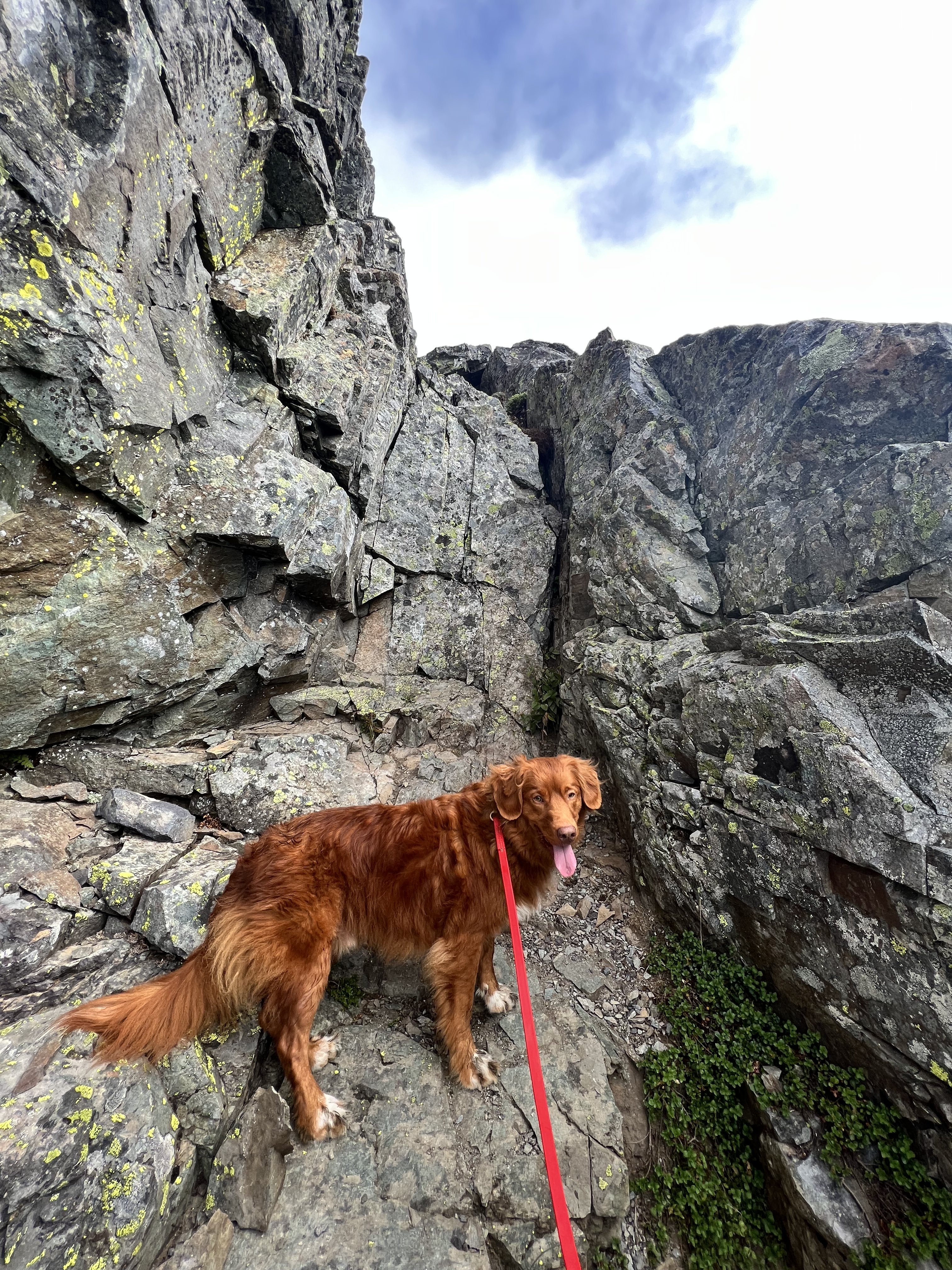
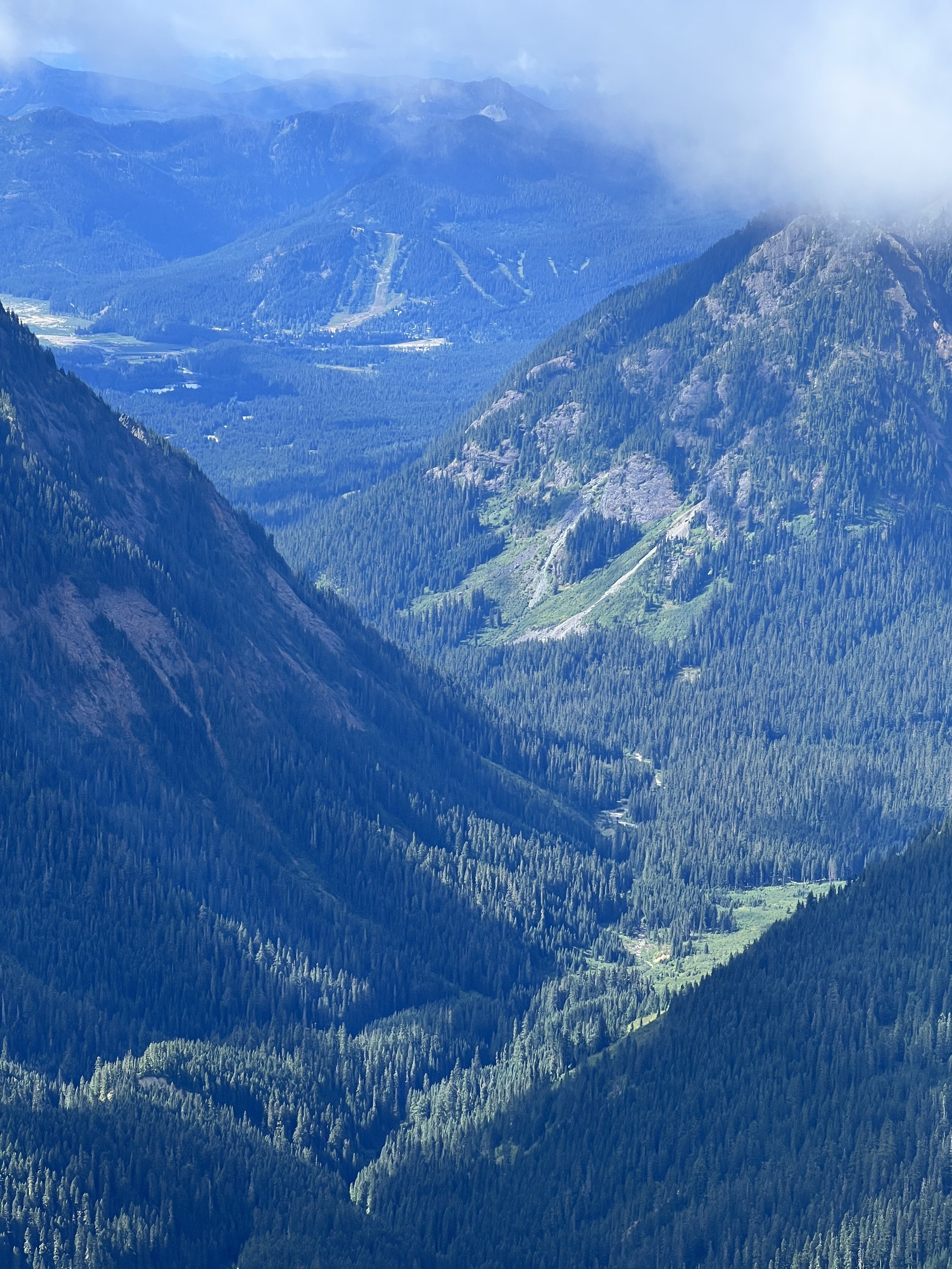
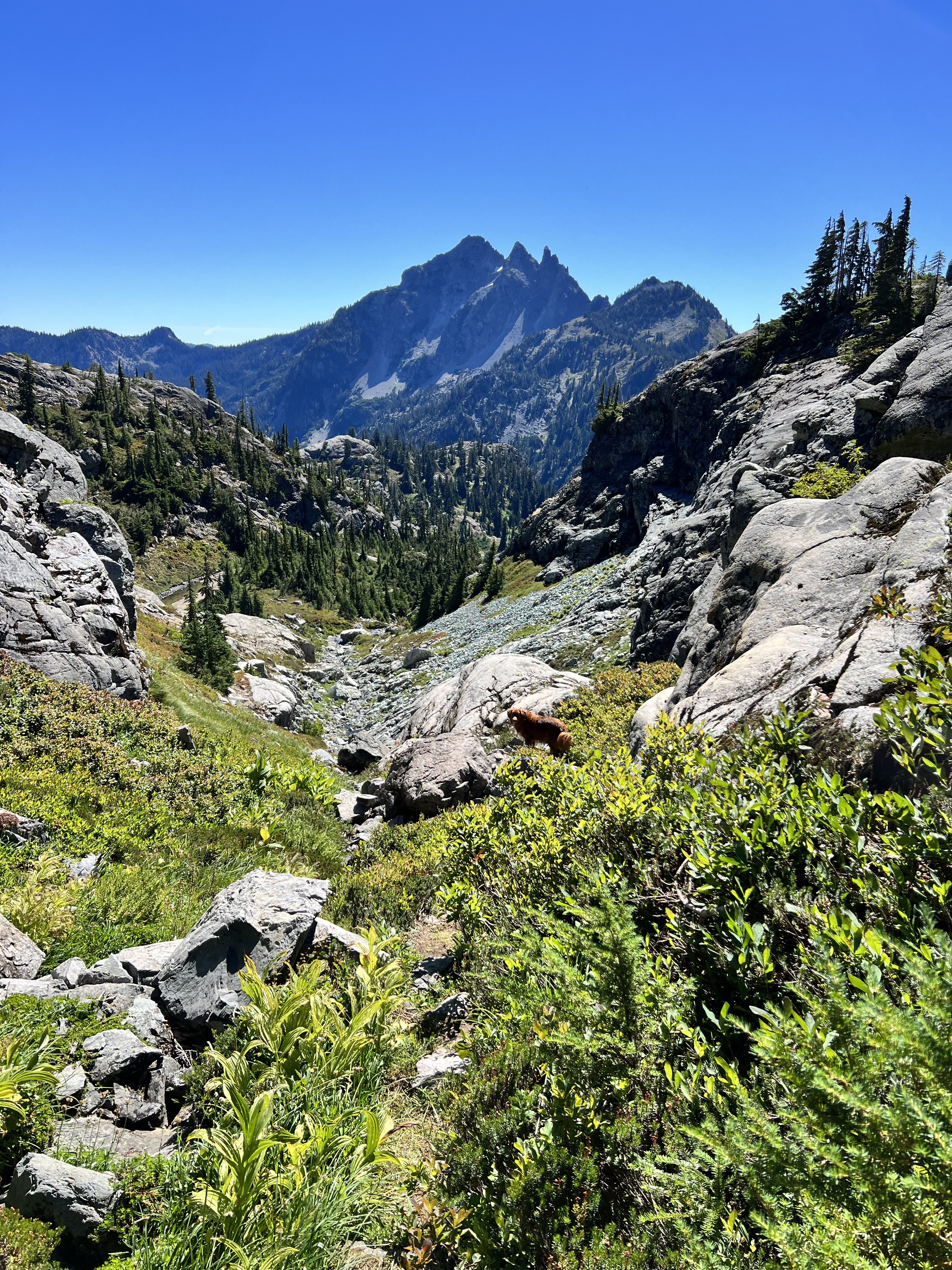
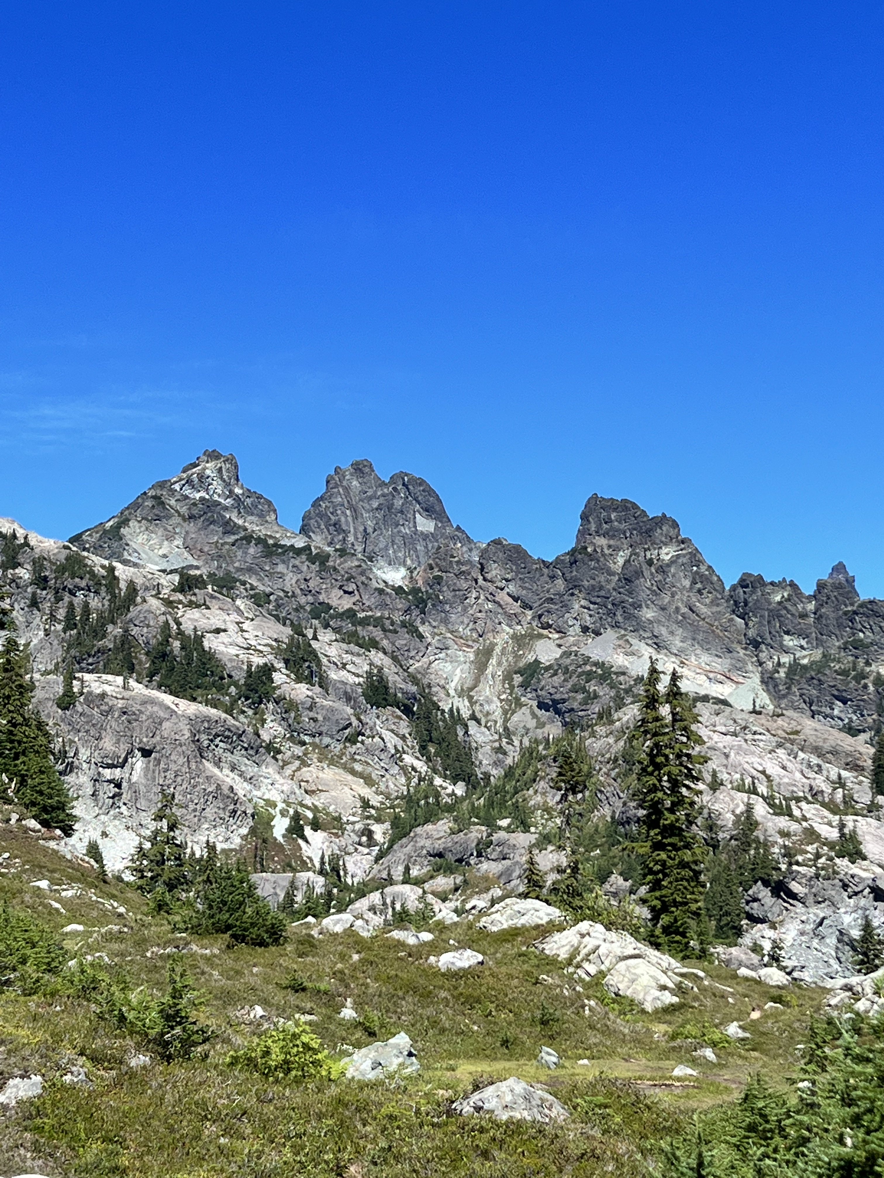
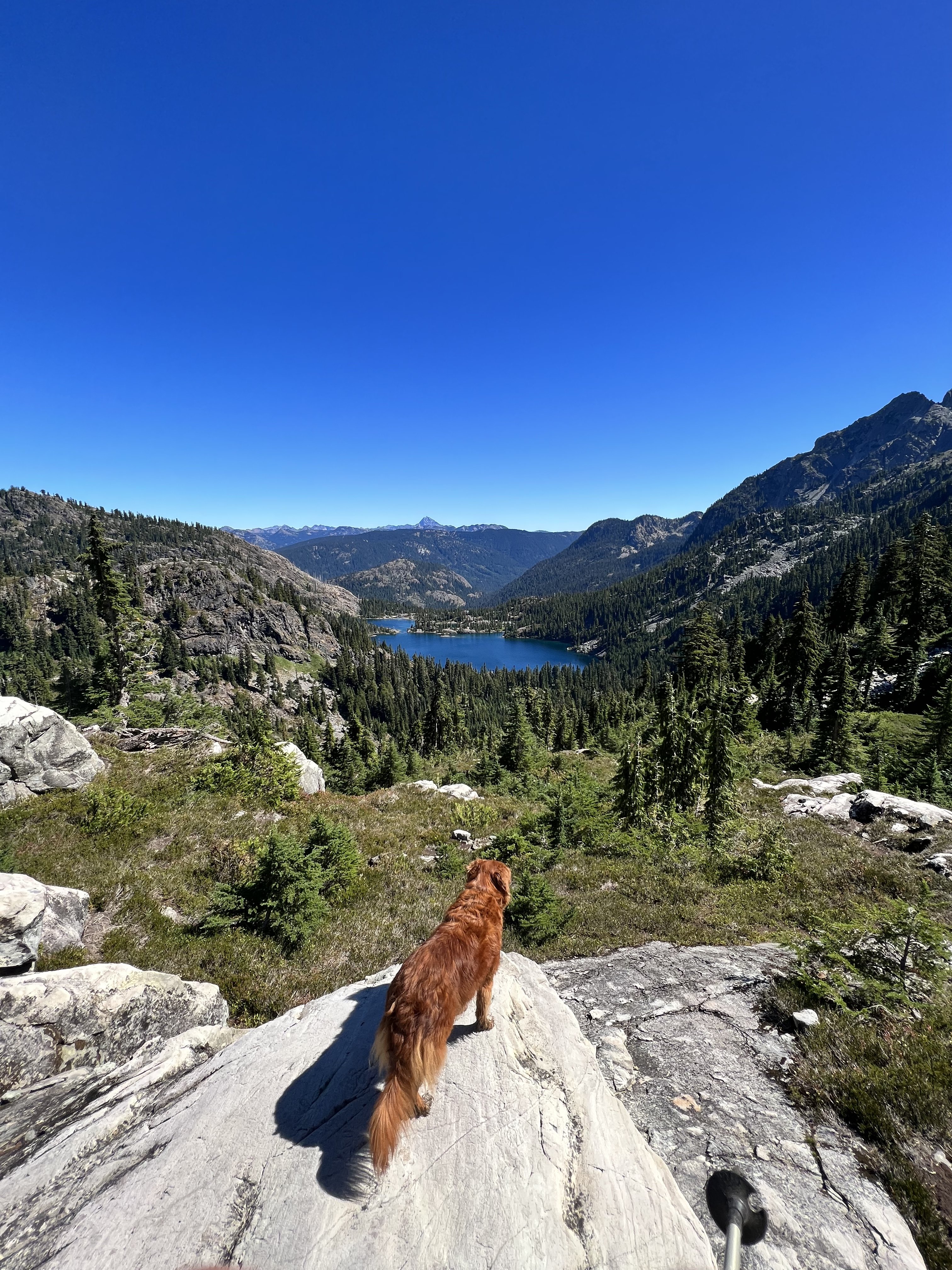
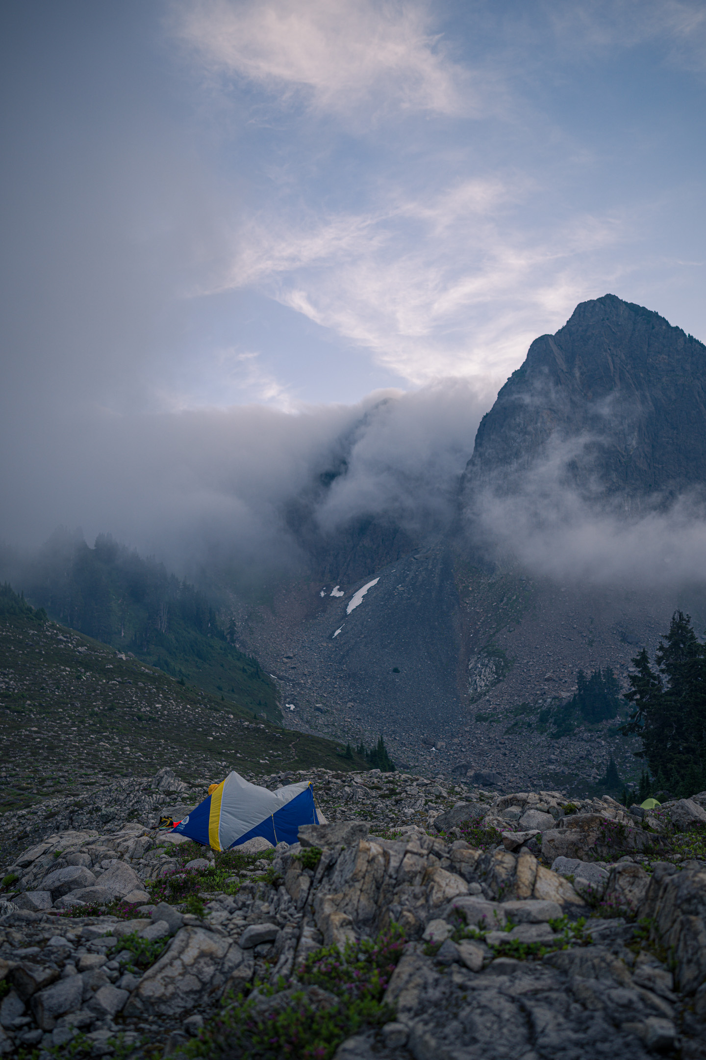
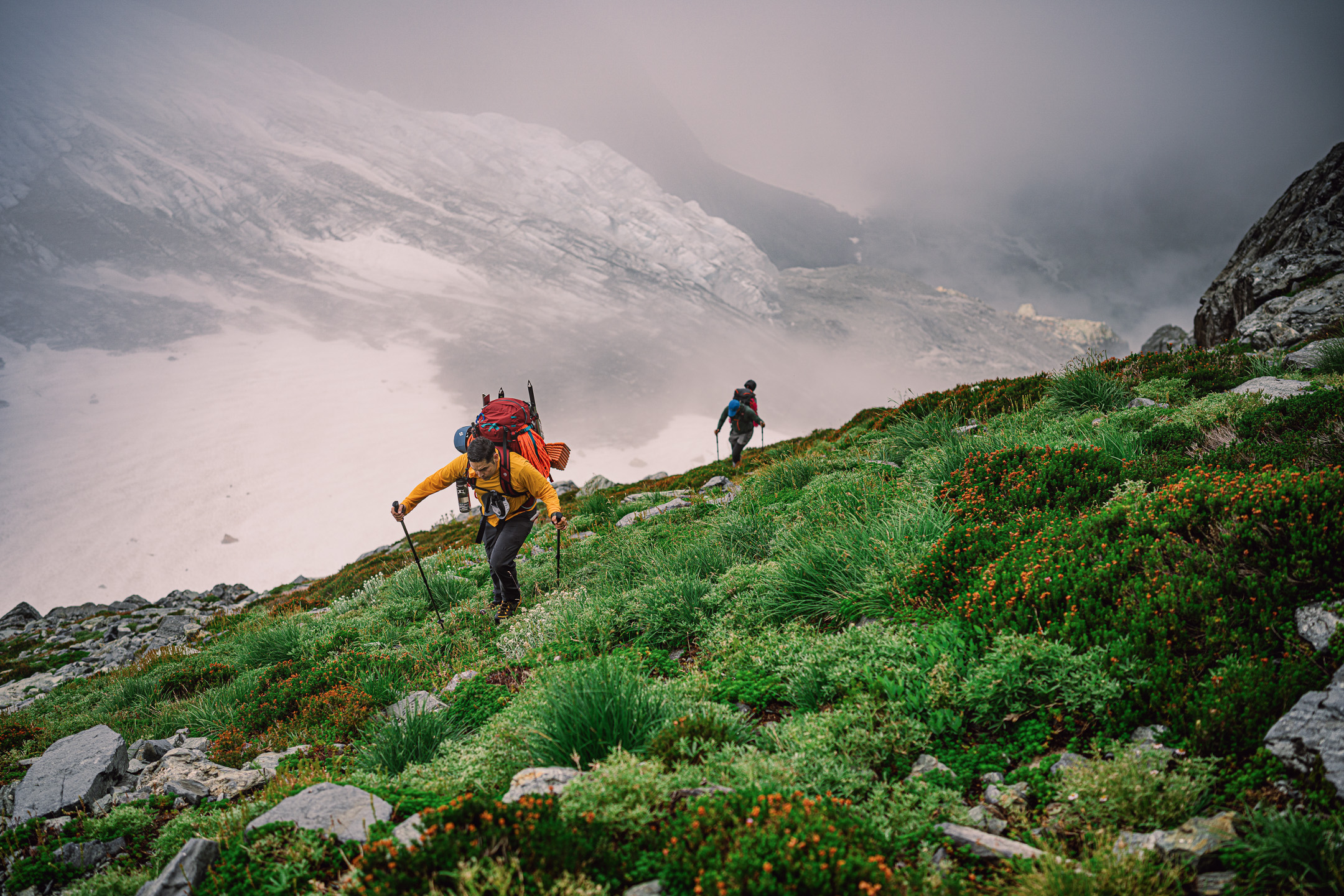
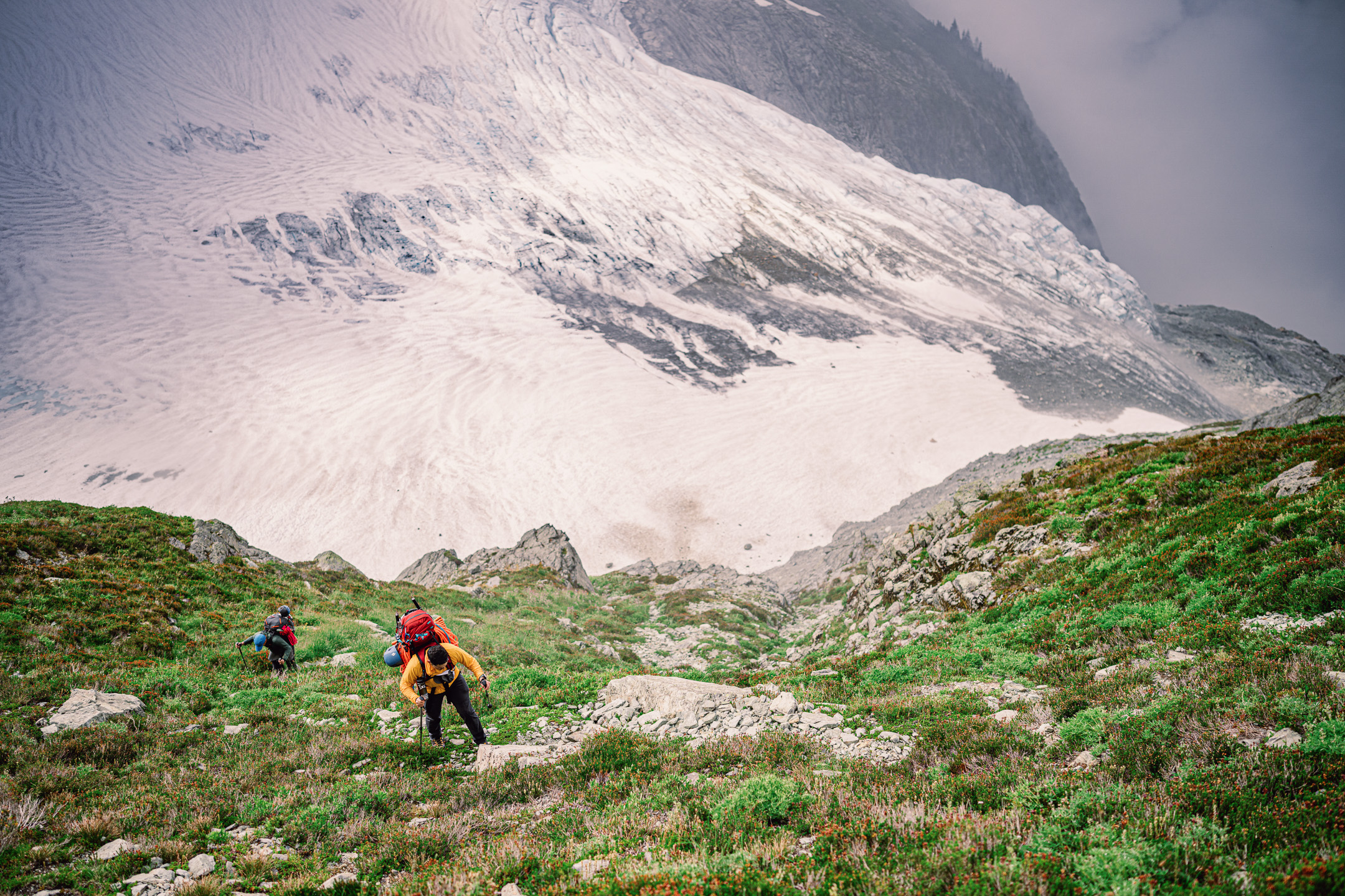
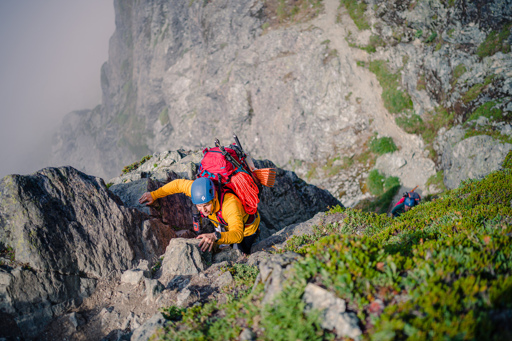
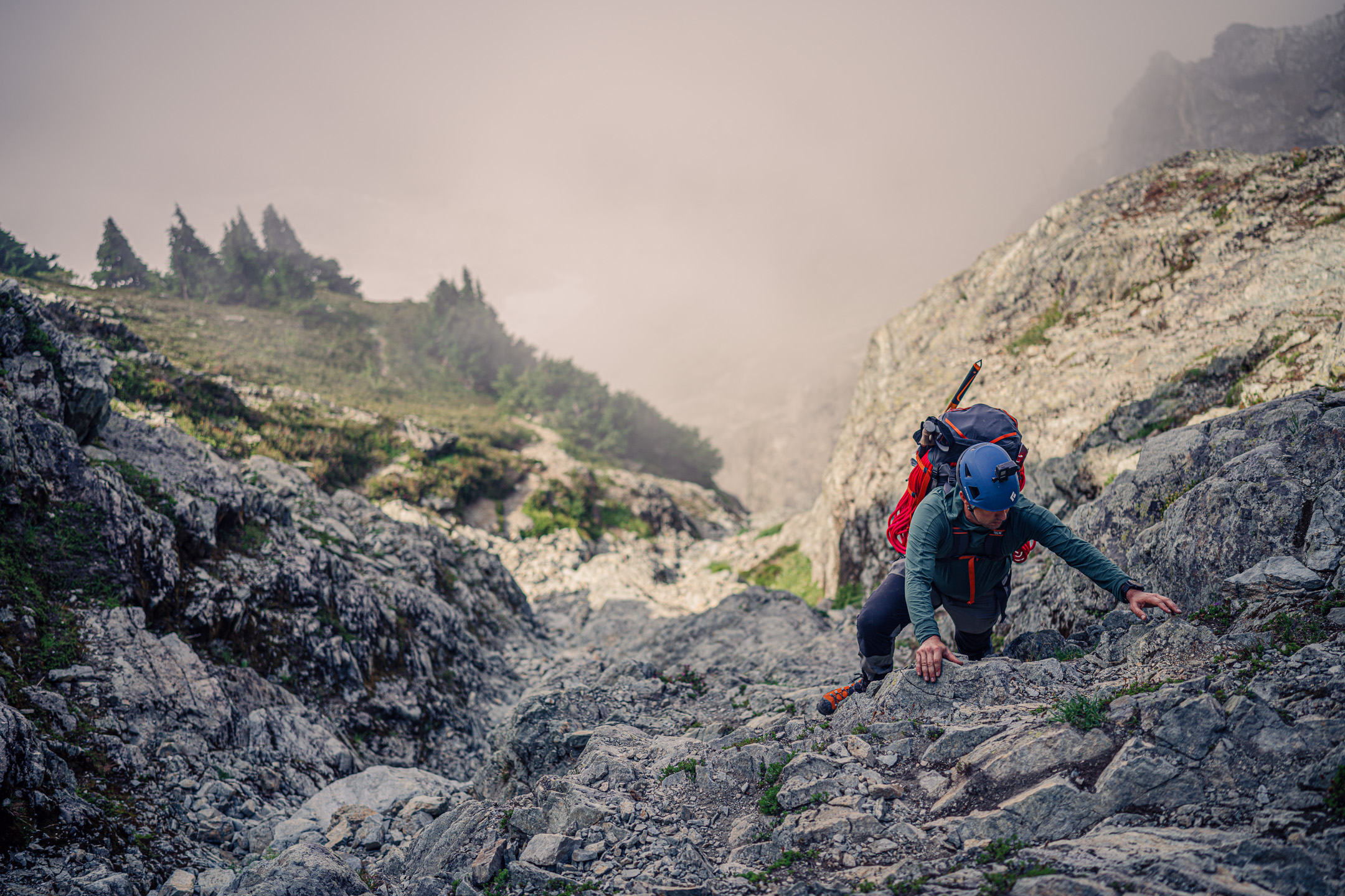
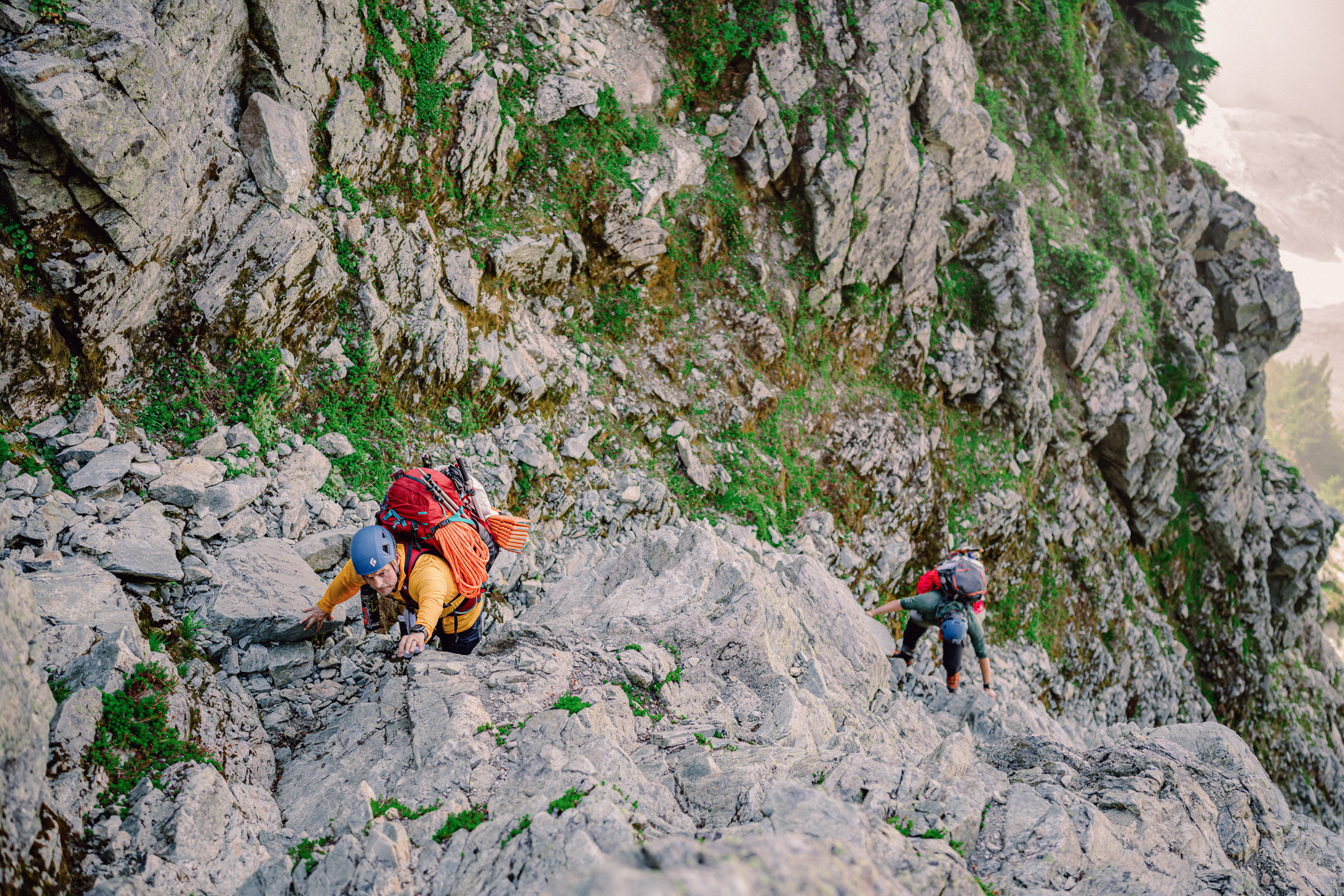
Trip: Chikamin Peak - Dog Route Trip Date: 09/05/2022 Trip Report: Me and fuzznut climbed Chikamin Peak yesterday via the Mineral Creek trail. We camped at the trailhead (busy as you can imagine being the holiday weekend). This approach to Chikamin also uses a little bit of the PCT, and at this time of year the people who will complete the whole thing are coming through, so saw a number of them including a woman with norovirus who was going to take a break from the trail too recover and then hoped to finish it....I guess there was a norovirus outbreak at one particular location on the trail. It is a really beautiful area back in there, especially when you get off the PCT and go over that little pass....all the mountains and lakes. Spectacle, Stuart, Glacier, Pete, Lemah, Chimney, Big and Little Chief, Hinman, Bears Breast, Daniel, etc. There were two cruxes for us, one down low by Glacier Lake when you go past that dramatic boulder that is stuck on end. The boulder field there has big rocks, and one of them I had to lift Kiba up so he could make it, but he cruised the rest, leaping from boulder to boulder. Then up on the third class section near the top of Chikamin I had to lift him again to get past the one step. Our time on the summit was in a swirl of clouds with views that came and went quickly. Shortly after we left it totally cleared off to a bluebird day. Up high the views were even better, that is a great summit up there. My GPS watch said 17.5 miles and 5.5k elevation for the day, but @JasonG tried to tell me it wasn't all that. I definitely wasn't feeling challenged on the way up after all my Olympic Mountain fishing trail hikes this summer, but man my legs are sore this morning! Kiba fell asleep almost immediately after getting into the truck, don't think I've ever seen him so tired. Photo dump, a few out of order: Gear Notes: trail running pack, cordelette and full harness to lower the dog (didn't use) Approach Notes: via Mineral Creek....wow what a job they did brushing that out! You could drive a Mack truck on it.2 points
-
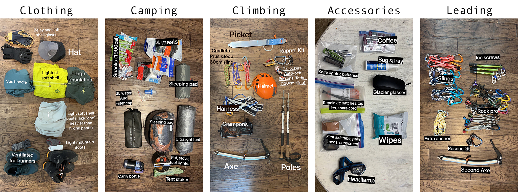
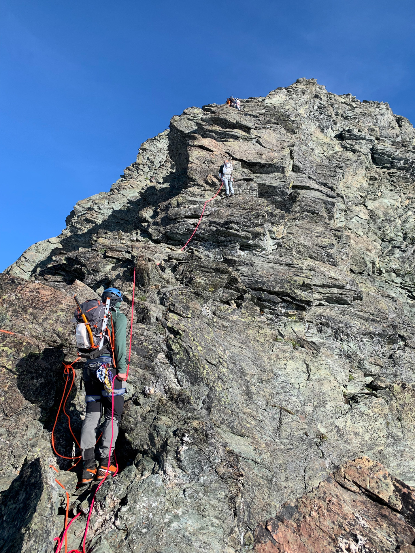
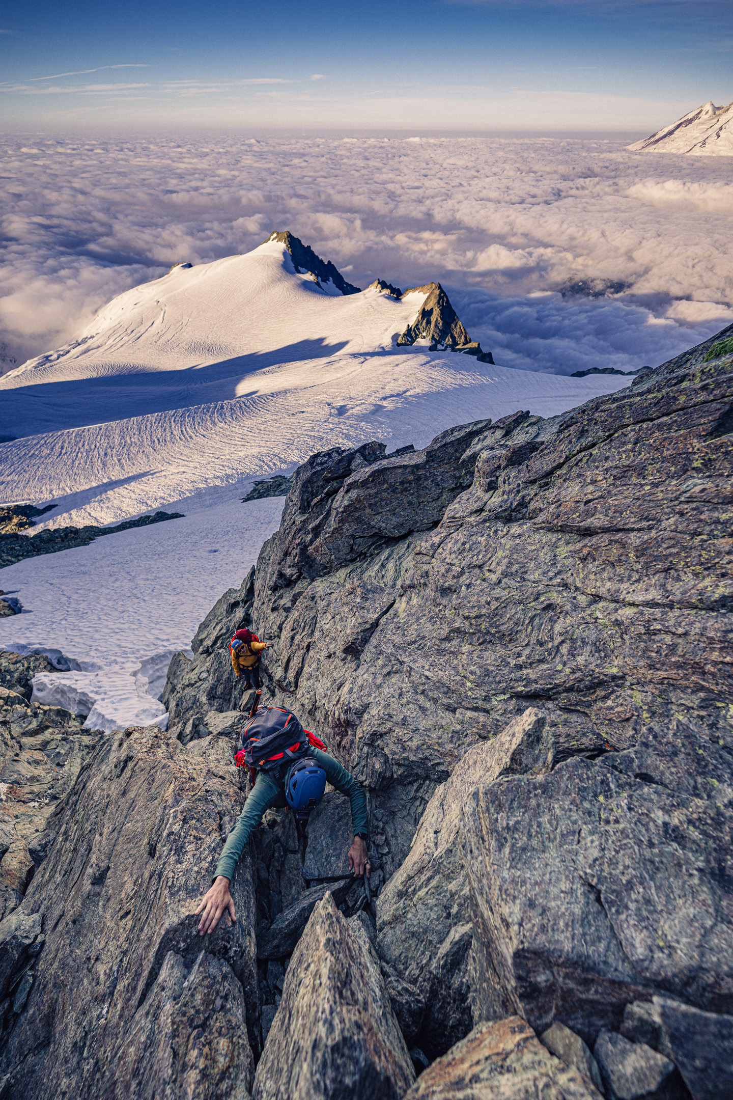
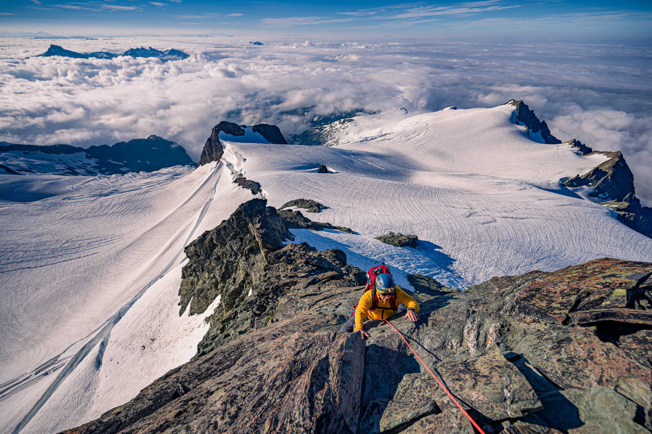
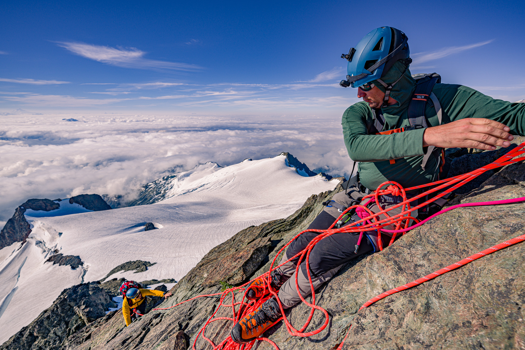
Trip: Mt. Shuksan - Fisher Chimneys and SE Ridge Trip Date: 08/19/2022 Trip Report: Background Back in May of this year (2022) I had offered to start up a 'climbing club' for my coworkers, to offer people a chance to get into the sport with minimal cost and also to continue maintain my own climbing instructional skills. We got together early every Thursday and worked on rope skills, gear selection, and other academic type content that was workable in a classroom setting, with the intent of 'graduating' with two weekend climbing trips in August. I had some field trips in July planned to practice snow and glacier skills, some conditioners up mailbox peak, and had booked campsites near Mazama for the first weekend, intended to be 'rock practical skills'. I left the second weekend open, not knowing what routes would be in the best condition that far ahead. Although I started out with 4 people, life and work chipped away at each person’s schedule so by the time the first weekend in August came around we had not yet gotten to do our practical snow skills. Additionally, only one person (Joe) was available for that weekend. In any case, we made the most of it, headed up to Klipchuck campground after work on Friday Aug 12th and had a great weekend, doing some cragging on Saturday and sent Spontaneity Arete on Sunday. Not a bad considering it was Joe’s first ever climbing experience of any kind! Not a bad first-time multi-pitch and alpine climb for Joe and my first alpine climb lead on my own! With the second weekend rapidly approaching I had to figure out what our objective would be. One of the other group members (Rob) was available for this weekend, making it a party of 3. Unfortunately, he hadn't been on the previous trip, so he had yet to do any sort of real-world climbing at all. Joe had some snow experience from a couple winter scrambles we had done in Japan, but Rob had none and neither of them had been on a glacier, used snow and ice protection, or done a climb with a bivy on-route. I also had never led a complex alpine route or led anything glaciated before. I was close to just planning a repeat of the alpine rock weekend in Mazama. However, while browsing rec.gov I noticed that previously unavailable permits for Price XC zone on Shuksan had become available, probably a cancellation due to the weekend only having a 2-day window of splitter weather. I wanted to get a complex route with glacier travel and technical rock under my belt this summer, so I decided to grab the permit and make Fisher Chimneys with SE Ridge our objective. There were no recent trip reports to cue me in to the condition of route, as well as tons of unknowns regarding Joe and Rob's comfort level on unprotected scrambles, steep snow, possible AI2-3 slopes and down-climbing. I don't think many people did Fisher Chimneys and SE Ridge as their first ever alpine climb, let alone first time literally climbing anything at all in Rob's case. However, Spontaneity Arete was also not normally a person’s first ever alpine rock climb and Joe had kept it together and followed me up that without issue. I knew that physical endurance wouldn't be an issue, we had all the gear, and the weather was going to be acceptable at a minimum. While not ideal, I also knew that I had enough tools in my mental toolbox that with a few extra ounces of gear I could problem solve our way through any alpine shenanigans and/or any hang-ups should someone decide they couldn't handle scrambling/down-climbing a given section and needed to be lowered, raised, given a hand-line or rope to ascend etc. I didn’t want to overburden myself so I made some judicious cuts to my clothing kit, accepting the fact that if the weather window collapsed it would be immediate cause to turn back. This left enough space to pack extra climbing gear just in case I had to build bail anchors, climb technical ice, or raise/lower us out of a situation. I also wanted to ensure I packed my mirrorless camera with a couple lenses this time; I’d skimped on photos my last few trips to focus on pushing my climbing grades but I missed the documentation aspect of the outings. I had us pack 2 ropes, a 60m 9.5 and a 50m 8.9, for redundancy and in hopes that we would be able to link some rappels on the way down for efficiency. In retrospect 2x 50m 8.9s would have been equally as effective and much lighter. There were two moments when the extra 10m was needed, but only because we were pitching everything out – both instances would have been overcome if we had been down climbing or simul climbing. Minus the ropes, what I packed for the trip. HMG Prism was just about perfect for this trip - gypsy camp with everything packed but perfect slimmed down on summit day. Of course, this would all add up to more time, so I planned to give ourselves every chance at success by leaving Friday early from work and hiking to Lake Ann that night to give us a full 48 hours to get from Lake Ann to high camp, the summit and back to the cars. Little did I know that we would use every second of it. Day 1 I listed Rob as the alternate trip leader on the permit since he would have an easier time skipping out of work early on Friday to make it to the ranger station in time to grab the permit. We all hit the road by about 2pm and by 6:30 we were all sitting at Chair 9 in in Glacier with permit in hand eating our last civilized meal before hitting the trail. We got to the Lake Ann trailhead a bit after sunset, welcomed by swarms of biting flies. As we headed downhill into the darkness, the flies seemed to dissipate, and we made good time to Lake Ann. It was somewhat difficult to find good spots, most of the great ones were already taken but we each had packed small bivy tents so we were each able to find somewhere tuck ourselves into for the night. Day 2 Approach We all woke up to a hefty layer of internal condensation in the tents, as Lake Ann was practically in a cloud of fog all night and into the morning. We did our best to keep our bags dry as we packed up and hit the trail by around 8am to tackle the chimneys. Misty morning at Lake Ann Previous GPS tracks had both a high and low route around the cliff bands leading into the chimneys proper. I didn’t realize at the time, but the low route was certainly the least used….and by least, I mean probably almost never. Unfortunately, we were a good 15 minutes into it before I realized this, so we continued to route find our way up to the chimney’s entrance on what was probably a less efficient path. The fog was still quite thick, and the combination of exertion and humidity had us all soaked. Off Trail but can't complain about the dramatic view hiking over the Lower Curtis glacier. Heading up the final slope to the start of the chimneys. Scramble It didn’t take long, and we arrived at the entrance of the chimney itself. Both Joe and Rob looked at the first section of class 4 and seemed like they wanted to ask if we were going to rope up, so I quickly started scrambling to keep the momentum going and show that it wasn’t as intimidating as it looked. Top of the dihedral that everyone likes to take pics of. Solid holds all over the chimneys make for fun scrambling. I was pleasantly surprised at the quality of the rock in the chimney. Certainly, there are loose pieces here and there, but most of the true class 4 sections had fantastic holds and in-between there were minimal patches of unstable dirt/kitty litter/rubble. The experience of more sustained rock scrambling with full packs was new for Joe and Rob but they kept at it steadily. About halfway up, where you make a traverse from the lower to upper chimneys we broke through the cloud cover and were rewarded with beautiful views of Mt. Baker…..and a very abrupt climate change from cool and damp to hot and dry. I was certainly hoping that the supposed running water at the bivy sites would be present and plentiful. Thus far we hadn’t seen anyone this day, until we finally ran into some people downclimbing near the top of the chimney. Rob's trial by fire scrambling with an overnight pack on his first day climbing a mountain. Joe finally soaking up some sun once we got above the cloud layer Rob taking in the elevation gained so far, looking down at the Lower Curtis glacier. At the top, the transition to snow was simple, the moat was not an issue. We hopped on the snow and continued un-roped to the base of Winnies Slide. At the base of the slide, the bivy spots were full, but we were told by the previous party that everyone up there had summited that day and were coming down. It wasn’t late, so we had some time to decide. We busted out the stoves and had a hot lunch at the lower bivy section while we waited for the occupying party to come down. When they arrived, they told us that the upper bivy was emptying out as well and had running water. I made the call to head up to the higher bivy. Winnie’s is steep but also had a great boot pack, so I used it as a good teaching moment to let Joe take lead and put in a running belay with pickets. It was a good spot for it, and I figured this might be a useful skill later in the trip; plus, it gave me an excuse to have everyone practice roping up, coiling the rope, using their ice axes etc. in daylight where I could see them, knowing that the next day we would be doing this on higher consequence terrain in the dark. Mt. Baker comes into view on the mid-chimney traverse. Passing the time with a lunch below Winnie's Slide to let descending parties clear out of the Bivy site. Joe heading up to the base of Winnie's Slide Practicing running belays using pickets on Winnie's Slide The Upper Curtis glacier comes into view nearing the higher bivy site The hadn’t seen pictures of either bivy site before the trip, and I was very pleasantly surprised to find a gorgeous site sitting alongside the seracs of the Upper Curtis glacier with incredible views of Mt. Baker. The cloud layer pushing up against the mountain made for a dramatic sunset. A couple parties came through the upper Bivy, including some climbing rangers who did their usual permit checks. We ate and organized our packs for summit day, finishing up around 6:30pm. We all tried to get to sleep early since our plan was to get up at 2am and be moving between 3am and 3:30, but I set another alarm for sunset to get a few pictures before fully going to bed for the short night. The Upper Curtis glacier was shedding ice and rock all evening into the night, an excellent reminder of the ever present objective hazards and motivation to stay efficient moving under the cliff bands to the left the next day. My Tarptent ProTrail Li has never been that easy to set up but perfectly, but it was great for this trip; light, well ventilated and with a compact footprint. The thin floor still always makes me nervous on rocky terrain. Sunset was worth interrupting my sleep for a half hour for photos Day 3 The Climb It wasn’t exactly enjoyable or easy to wake up so early, but it had to happen, so we pushed through and were moving by 3:40am. My goal was to be back at high camp by noon, a little over 8 hours later. This put my summit time goal 9am. I knew we had much more time than that, so I wasn’t going to consider truly turning around until noon. The boot pack from the parties coming down was still faintly visible so we made decent time in the dark across the Upper Curtis glacier. Despite the fact that Hell’s Highway was steeper than Winnie’s slide, the darkness helped mask the sense of exposure so I was able to just keep our party moving up the slope without needing to pull out pickets and do a running belay. We reached the Sulphide glacier just as morning twilight was beginning. The Sulphide was cruiser, very straightforward and direct path up to the summit. The boot pack was obvious once it joined with the more popular Sulphide glacier route. Tail end of the milky way over Mt. Baker was the consolation prize for having to be awake far too early in the morning. Shadows cast, I presume, by the Mox-Spickard-Redoubt mountain cluster blocking sunrise against a high-altitude haze as we moved up the Sulphide glacier. We encountered a number of parties once we got onto the main trade-route of Mt. Shuksan. There was no boot pack to the SE ridge so I had to somewhat guess where it started. As we neared what I thought was the beginning of the ridge, another party arrived, and we let them pass us given my expectation to be pitching everything out. This party had the same intentions so in the end they never really got ahead of us. This initially caused some delays waiting for them on the first couple pitches, however by the last pitch they were fully ahead, and we were our own limiting factor. The ridge was fun, had exciting but not intimidating exposure on both sides, and the rock was solid enough. I can see why most experienced parties would simul or solo the ridge, as the ‘crux’ 5.3-5.4-ish moves weren’t always protectable anyways. I think that the standard pitched climbing approach gave Joe and Rob a chance to relax at the belays though, which helped keep our pace consistent even if it was a little slow. The last pitch was long, and I hit the end of the 50m rope I was on; however by the time I got to the end it was just class 3 so I put a micro-traxion on a piece near the top and had Rob, who was belaying me, just start climbing to make it the last 15-20 feet to the top anchor. I got him on belay, had him remove the micro-traxion when he got to it, and then bring up Joe. We made the short scramble to the summit. Rob scrambling up to the start of his first ever rock climb (of any kind!), wearing mountain boots no less. Joe making his way up the ridge. This was his first time climbing in mountain boots as well. Rob belaying Joe up. We used both ropes in a caterpillar manner for the ridge climb. It wasn't super fast but I wanted to have them learn to manage the multi pitch transitions and system as their own 'second rope team'. This was also a great opportunity to show them how to build a releasable anchor using the second rope to be efficient with our anchor materials and get Joe climbing quickly without needing to tear down a separate anchor at each station. Me leading up the final (I think) pitch of the ridge just behind the party ahead of us. This photo courtesy of Joe. The combination of the other party and eventually our own pace resulted in us being at the summit around 11am; I hadn’t imagined being so close to our turnaround time. The summit register was in terrible condition, full of scraps of loose paper, we had to just squeeze our names into a space in-between the other entries. If I would have known, I would have brough a new one. We ate some snacks, enjoyed the expansive views of the North Cascades as the cloud layer was starting to break up and reveal the smaller peaks around us. After a short time, we began the descent Me signing the rapidly disintegrating summit register. I might start keeping at least a few sheets of 'write in the rain' paper on me for future climbs. Photo courtesy of Joe. Joe and rob looking a little tired......considering that Rob had never climbed even a single pitch of anything before today, Joe had never been on a glacier before, and I had was leading my first ever glacier-rock combination alpine route this was a huge success! Descent It was Rob’s first time ever rappelling on a real mountain. We had gone over the basic system in the ‘classroom’ at work, but he hadn’t had the previous rock trip to practice in a single pitch setting. I decided to go with a pre-rigged rappel with clove hitches between each climber on the anchor to make it as stress free as possible. After getting both of them set up with extended rappels, I would rap with coils to get the ropes down to the next station and set up. Having two ropes was great, but the 55m limitation from having a 60m and a 50m resulted in slightly imperfect linkups between “every other” rap station. I found the downclimbing easy to make up the difference, however for the Joe and Rob this improvisational transition and the end of each rappel added some extra time. Overall, however, these micro transitions to downclimb the last few feet after each rappel were faster than if we had doubled the number of rappels using just the single 60m rope. Joe coming down the first rappel from just below the summit. The 50/60m double rope setup reached the '3rd' rap station no problem. Here, the 50/60m rope setup did not quite reach the '5th' rap station. Here, Rob is at the last good stance to unrope at the end of the rap. This short traverse from the end of the ropes to the final rap station was not that difficult though. We moved quickly down the Sulphide without crampons as the snow was very soft by now. At the top of Hell’s Highway, we put the crampons on evaluated the slope. It had softened significantly, and we had been moving about 10 hours at this point, so I didn’t think Joe and Rob wanted to solo downclimb at this point. I put in a pair of pickets, had everyone remove their glacier rope setup, and set up a fixed 60m single strand rappel. Joe and Rob rapped down the steep section. Then I pulled the rope for them, packed up the picket anchor and downclimbed Hell’s Highway while they reconfigured the rope for glacier travel down below. After I tied back in for glacier travel, we made the very hot slog across the Upper Curtis back to high camp. While we packed up the tents another party arrived, happy to snag our spots for their evening bivy. After some snacks and refilling our water, we set off for the descent. We all downclimbed Winnie’s Slide and were happy to make our last steps off snow as we reach the top of the chimney. At the top, we ran into a guided group being short roped up the chimneys. Me, crampons on getting ready to go check out the snow conditions on Hell's Highway. Photo from Joe. The HMG camera holster bag worked really well, I had it rigged up with some carabiners, a cord directly to the camera and a bag strap so there were a couple redundant points to prevent the camera from going free - which actually came into play once, saving the rig from smashing on the rocks and/or rolling off the mountain. Considering Rob and Joe had spent over 13 hours doing a very large list of “firsts” on a tough mountaineering route, I knew that trying to force everyone to solo downclimb the entire chimney section wasn’t going to be a great idea. Although it took more time, I set up rappels on the tough sections of the chimneys. We reached the bottom of the final class 4 section around 7:30pm, a solid 16 hours since we set off that morning. It was a huge relief to transition back to trekking poles and take off the helmets. I made sure to follow the main upper route on the way down, which involved more 3rd class down climbing than I expected. Regardless, we just barely made it to the bottom of the very last scramble as evening twilight faded to true nighttime. Headlamps on, we started the monotonous trail slog back to the cars. Joe and Rob putting on the crampons at the high bivy site to make the final snow descent down Winnie's Slide to the chimneys. Rapping the 'dihedral'. There is some exposure to the bottom right, and in this instance the backed-up rappel was definitely a good choice for tired climbers pushing through a very long summit day. Joe getting ready to do the fun little 'au cheval' exposed step over on the chimney traverse section Very happy to be done with the chimney scrambling and have the helmets off. Little did we know, some class 3 sections lay ahead of us. Last light as we exited the chimneys proper and continued on our descent. We had a solid 4 hours of effort ahead of us back to the cars, but the respite from the sun was a welcome change of climate for the hike out. 6-ish miles and a few hours later, after digging deep into our energy reserves, we arrived back at the cars at 12:30am; 20 hours and 42 minutes after we had stepped onto the Upper Curtis Glacier that morning. This was a fun climb, and a huge confidence booster. My goal for the summer of 2022 was to reinvigorate my goal of leading alpine climbs; the last time I had led anything was back in 2016-2017; and at that time, I had led a few multi-pitch rock climbs to 5.7 but nothing truly alpine. Not only did I climb my two hardest alpine routes to-date over these back to back weekends but led them, and led them while teaching two brand new climbers overcoming a variety of alpine climbing challenges. Gear Notes: Put some pics in there. Approach Notes: Straightforward2 points
-
Several parties turned back when they saw the exposed ice. We did briefly talk to some guys meeting that description about 3 miles from the car. We got high 5's as we ran by, trying hard to not stop and walk until we were out of sight.1 point
-
Trip: The Tooth - Indentured Servant Trip Date: 09/04/2022 Trip Report: It was another pleasant day out on the jawline of Snoqualmie Pass, another run up the new sport route on The Tooth. On the trail down, Yale and I chatted with a couple of guys from Poland who climbed the route after us, both named Bartek! It was the first time I'd spoken with a party who had done the route, so I was intrigued to know what they thought of it. They said they enjoyed it greatly, with pitches 4 and 5 particularly good. When I asked if they thought it had any loose rock, they just laughed and said I should climb in Europe for some loose rock. Yale and I didn't find anything loose this day, either. Some lichen, perhaps, but that should rub off with time! Bartek on p1, belayed by Bartek. Gear Notes: 12 qd Approach Notes: Denny Creek trail to a turnoff point among the switchbacks before Hemlock Pass.1 point
-
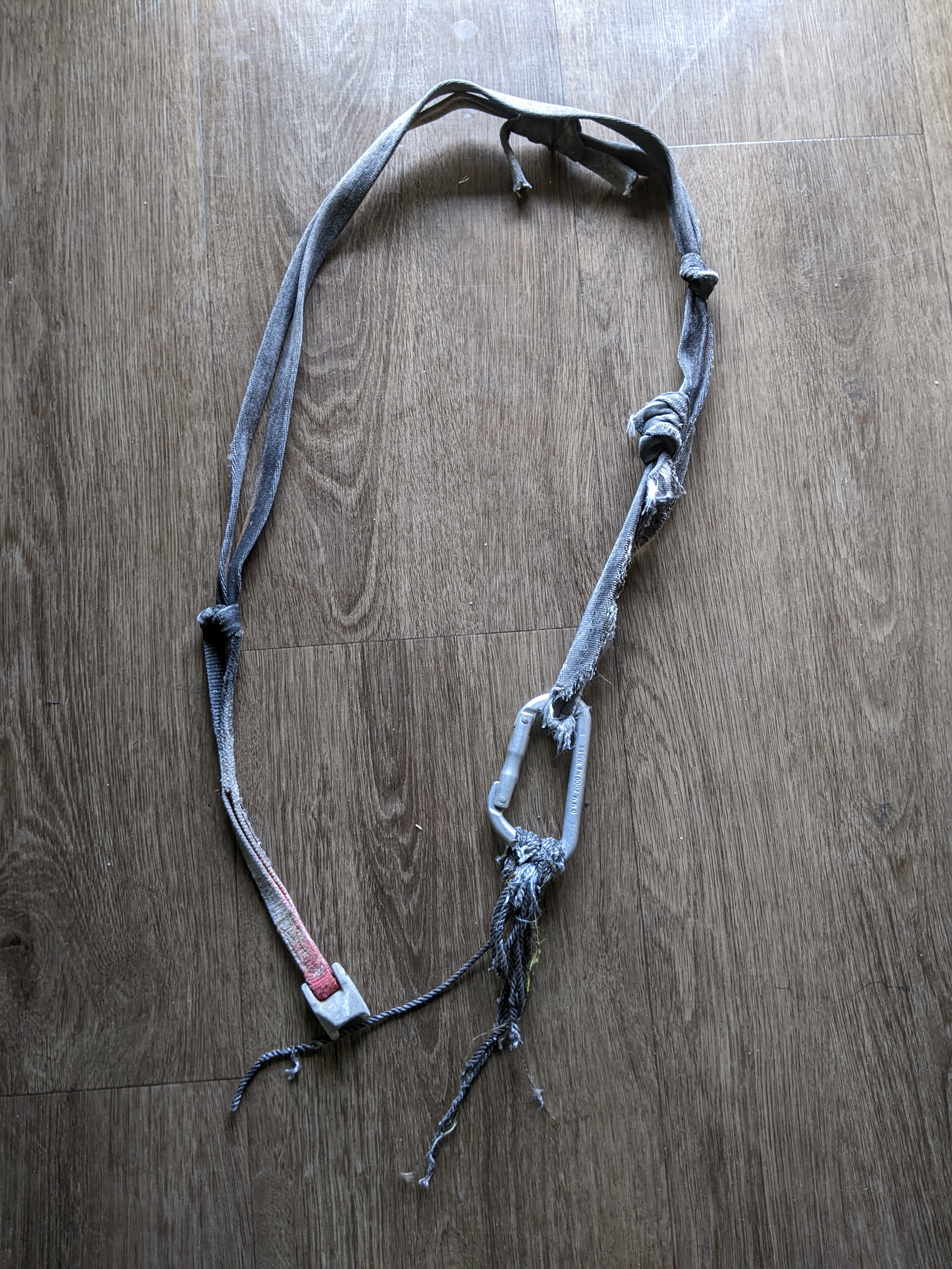
First of all -- descriptions of grades, pitches, and overall character of the route were very accurate. Thanks for a quality experience. One of my first thoughts on topping out was now I'm *really* psyched on "after hours". Overall, I thought "memento" was quite reminiscent of "fire on the mountain" -- lots of steep featured gear-protected face climbing, some poor rock but mostly pretty decent. The face that "memento" climbs is, overall, much steeper (sloan has lots of ledges), while "fire" involves pulling harder (but seemed less sustained). The gear from the accident -- a pink tricam in a marginal placement in poor rock, girthed to a few feet of webbing with a biner, on which was cloved a few shreds of rope -- was in a roof/overlap below two side-by-side corners just above the [eric/rolf] belay at top of pitch 4. It seems possible that the decades of rockfall and avalanches that shredded the rope also degraded the tricam placement (and/or removed anything else that was in the belay). If anyone with a connection to the deceased would like them I'd be happy to pass them along (@Skeezix?), I just felt it better to clean up the mountain. I believe I ended p3 5m or so higher than the fa, at the top of the vague pillar/face you've been climbing, belaying on a slung block + #1. I'd recommend this to avoid the semi-hanger. As mentioned above (sorry...), I didn't read the p5 description carefully, so was just looking for a corner when ending p4. When you pull onto a slab at end of p4 (25ft below where the tricam was), there are two side-by-side corners above you: left looks good, right looks shitty and mossy, I incorrectly belayed under the right corner (good #4 + ok #1, just above where tricam was) to set up to climb the left corner. The correct way, I believe, is to belay as soon as you're on the slab, and then traverse pretty hard right above the roof to begin p5. Which at least to us looked quite improbable (steep face with little obvious gear) but gear tends to appear in this rock as you get closer. So now that the old gear is gone, I'd amend description to: pin belay on slab below two side-by-side corners (p5 goes to right of both corners). And yeah, on the last pitch we did climb the distinctive rock-scarred corner with decent rock, so were probably in the same place. The short offwidth to right (picture above) seems like a good idea for the start of that pitch, although we didn't climb it. The cutest little chipmunk came over and hung out while I was belaying here. Rack seemed good. The pins (+ northwall hammer + msr tent stake hammer) seemed somewhat optional to me, but otoh I wouldn't be brave enough to launch up a route like this without them unless I'd done it before.1 point
-
Haha, I saw 'The Triad' and was like: who goes there... Oh yeah, Jason. Thanks for the report, I've wanted to go there for years.1 point


