Leaderboard
Popular Content
Showing content with the highest reputation on 08/11/22 in all areas
-
Trip: Olympic Peninsula - Mt. Olympus Standard Route Trip Date: 07/13/2022 Trip Report: On not summiting Mt. Olympus & other reflections My trip to Washington began with a deal: If I helped my parents stack some 200 hay bales in the loft of their barn, they would care for my dogs while I was out of town. So, not long after an uneventful nine-hour drive from North Carolina to Pennsylvania, I found myself in a spot I hadn’t occupied for at least a decade: sweating, itching, hay-fever-wheezing at the door of the hay loft hypnotized by the oppressive cranking and thumping of the ancient hay-grain elevator as it deposited bale after bale from the wagon below. Feeling excitement about the upcoming trip, I remarked to myself that I was pretty darn lucky—to be traveling at all, to be strong enough to take on both this labor and a mountaineering expedition, to be soon communing with an old growth rainforest—and as this feeling of gratitude welled up inside of me, I smiled at a Ram Dass quote that a teacher of mine shared a few weeks prior: if you think you are enlightened, go and spend a week with your family. In no time I was stretching my sore shoulders in the great silence of a job well done, anticipating a night of rest before an early morning flight to Seattle, and thinking that all things considered, I had done a pretty good job of meeting the anxieties of my mother with kindness and patience. As we approached the last of the barn chores for the evening, however, I would soon find that my task was far from complete. Hearing some thumping and sounds of exasperation from the hay loft, I discovered that my mother was upending each of the bales we’d just spent the afternoon neatly stacking—apparently, the bales were wound too tightly, hadn’t been dried enough, and were at risk for molding if we left them in the loft. So, cutting into the thin hours of the night, we pored over each bale, separating the wet from the dry ones, and ultimately loaded all 200 of them back onto the wagon below. After a hasty shower, 3AM found me headed to the airport grateful that I’d at least get some sleep on the plane. I begin this report with my absurd haybale story because it helps to introduce the unexpected nature of the lessons that this trip offered—the meeting of new and old selves, and the recontextualization of the people most important to me. Having spent the summer up to this point inundated with images and stories of my partner emilio’s wild forays into the mountains (see the trip reports from their climbs here & here) I didn’t quite know what to expect from a climb up Olympus, but knew that this experience would be life-changing. I hoped to remain open to the teachings of the landscape and set off with the slightly misguided but well-intentioned goal of being humbled by the mountain. On July 12, after a much-needed meal and rest at the home of our endlessly kind friends Adam & Monica, emilio and I entered the Hoh Rainforest. Never before had I experienced such a happy ecosystem—I was used to the sick soil of coal country back in northeast PA, accustomed to the spindly birch trees and mountain laurel that form a forlorn kind of beauty in an ecosystem struggling to recover from a long history of fracking and mining. While the Olympic peninsula certainly faces its own ecological challenges, I was floored by the weight and wisdom of the forest’s ferns, mosses, the enormous Douglas Fir and Red Cedar trees—and the clear blue waters of the Hoh! I remember saying to emilio, this is where water comes to forget the hard angles of pipes and plumbing. Needless to say, the ten-mile hike to Lewis Meadow on our first day in the park consisted of me repeating, each time with renewed wonder, “Wow, look at that tree!” By late afternoon we were winding through the hip-tall grasses of Lewis Meadow on our way to a spot by the river, where we cooked a delicious meal dehydrated at home by our (again, incredibly generous) friends Adam & Monica before resting up for the ‘big push’ the next day. Emilio cooking us some dinner along a bend in the Hoh a short walk from our campsite. On July 13, after a restorative sleep in our 2-person tent, emilio & I donned our headlamps and padded into four-in-the-morning gentle hiking. There are few transcendent experiences I savor more than listening to the birds begin to call in the morning—building from a solitary and irregular chirp to a cacophony of song as the sun lends shape to the darkness—and this morning was no different: soon the hesitant chirps of the Black-throated Gray Warbler gave way to the buzzing calls of the Varied Thrush and the deep, thrumming vibrations of the Sooty Grouse, which seemed to echo from every side of the trail as we hiked for the next five hours or so. A consistent thought that I had while hiking the entirety of the Hoh River trail was that this is a kind trail—just when the walking reached a sustained steepness and I began to feel tired, it would flatten out or turn downhill for a bit; just when I needed a rest or felt too nervous about the climb ahead, there’d be an opening in the trees revealing a breathtaking waterfall or glimpse of the surrounding mountains; always, the heavy bootpack of the many feet that crossed this trail before me were a comfort, and I felt like I was participating in some great collective project—the incredibly welcome features of the rope ladder and high bridge only contributed to the feeling that this is a kind trail indeed! One such stunning view along the Hoh River Trail. About six miles into our approach hike, just before the rope ladder, emilio and I were pulled out of our trail-walking hypnosis as we ran into the first party we’d seen that morning—what looked to be a pair of hikers getting an early start to views of the glacial moraine. As we exchanged friendly goodmornings and moved to pass them on the trail, one of the hikers spoke up, “Hey, I know you, you’re Emilio, right? You’re not starting this summit push from the parking lot again, are you?” Both of us were a bit too stunned to process how this hiker not only recognized emilio, but had also read the trip report from a month prior when emilio, Adam, and Monica had run an ultramarathon on this trail. Through a brief conversation, we learned that this man had fostered a lifelong love for with the Olympic range (climbing it many times from the 70’s to today) and after offering emilio sage advice to get their butt out of the way of the views once we reached the moraine, we shared goodbyes and continued on the trail. Emilio descending the rope ladder. We must have reached the moraine—the scramble down steep loose rock required to reach the glacier—at around 9AM. Time seemed to grind to a crawl even slower than the tiny steps I was taking on this slippery incline, but after a few falls and more than twice the time it took emilio to reach the glacier, I finally made it to the ice and to one of many firsts in this trip: my first time wearing crampons. I marveled at the same blue I had seen in the Hoh river here in the ice below my feet, at more snow than I had ever seen, at the incredibly breathtaking sight that is the blue glacier… it was all too overwhelming and certainly well worth the nerves that were already turning my knees to rubber. In an abundance of caution, emilio roped up with me and led me toward the boot-packed trail leading to Mt. Olympus. The beautiful Blue Glacier from the top of the moraine. If my slow going on the moraine was any indicator of my performance on the snow and ice, I wasn’t entirely aware—time held little meaning as I met each new phase of the climb with an increasingly intense chorus of feelings: awe, fear, excitement, euphoria, trepidation… this was really living! Reaching the snow dome was a welcome break from the uphill snow walking (and slipping on my part) and emilio and I shared a breathtaking moment of appreciation for the views—we were lucky enough with clear conditions to even catch a stunning glimpse of Mt. Rainier in the hazy blue distance. After passing a guided party on Crystal Pass, we reached the false summit and the real crux of the climb for me: a steep icy patch of downclimbing just before the true summit block. As with much of the other climbing leading to this point, emilio was incredibly patient with me, coaching me through the steps I could take to move through the terrain safely, and after probably the slowest moving I had done all day, I was able to meet emilio on the base of the summit block. With my nerves a bit fried, I attempted the final fourth-class scramble to the summit, but ultimately lost my nerve and remembered the intention I had set at the start of this trip—to remain humble and receptive to whatever teachings the mountain had in store for me. Although emilio offered to aid me up the rest of the climb, I made the difficult decision to instead rappel down from the ledge where I’d gotten stuck. I took some comfort in the idea that this experience constituted far more than just pushing to the top. After my first rappel ever, emilio scrambled to the summit to see the log and enjoy the views. And as I waited below, I realized that as much as this climb was certainly an exercise in humility for me, the main gift I received that day was a deeper understanding of emilio in the place where they belong most: the mountains. I am not a mountain person by any stretch of the imagination—I grew up in the hills of Pennsylvania which see peaks of the Poconos reaching, at their highest, around 1200 feet of elevation. I’d only been climbing for about a year at this point, and hadn’t ever seen mountains like those in Washington. Needless to say, I was delightfully out of my element in the time I spent on Mt. Olympus, a feeling which was only augmented by emilio’s incredible ease of movement in this landscape. Throughout the next five hours of joyful glissading back down to the glacier, mountain goat tip-toeing back up the moraine, and bounding downhill trail walking back to camp, I followed the light that practically beamed out of my partner in climbing and in life. Because of emilio I felt, in each stage of the trail, a secondhand sense of being very much at home in this impossible rainforest. The next day on our exit hike, the trail’s passing parties met us with kind conversation and questions about conditions of the mountain. The frequency of these interactions grew as the miles to the trailhead diminished, and I was struck by the singular way that our fellow hikers also recognized emilio as someone who really belongs to this place. One of my favorite writers, Carmen Maria Machado, opens her memoir with the idea that this type of writing is, at its core, about putting yourself and others into necessary context. Of course, this trip report is by no means a memoir, but it is a crystal of a memory that I hold precious because within the myriad lessons I was gifted by Mt. Olympus and the Hoh River trail, their overarching movement was in reintroducing me to someone I love dearly by placing them in necessary context. More than any individualistic urge to ‘find oneself’ or, in my case, to be ‘humbled’ by the mountain, the networks that we create in concert with other human and nonhuman beings are what really constitute the power of the natural landscape; thank you to emilio and the many mountain people like them who have matched the loving kindness of the Olympic range. Gear Notes: Ice Axe, trekking poles, crampons, backpack, Camelback, electrolytes, granola bars, & homemade backcountry meals. Approach Notes: Hoh River Trail, through the Blue Glacier & Crystal Pass3 points
-
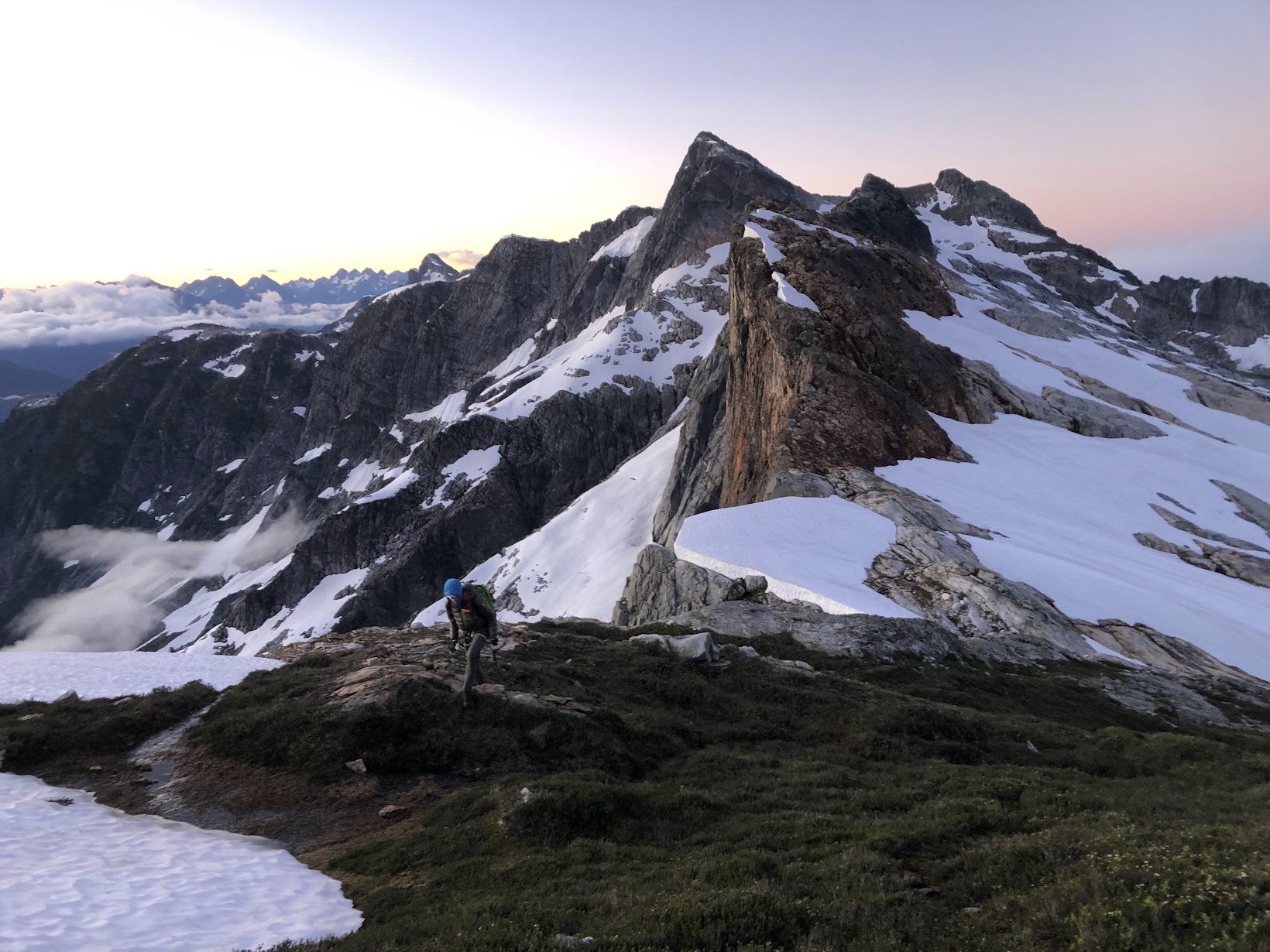
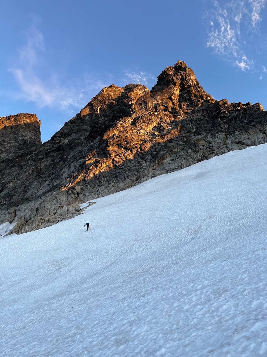
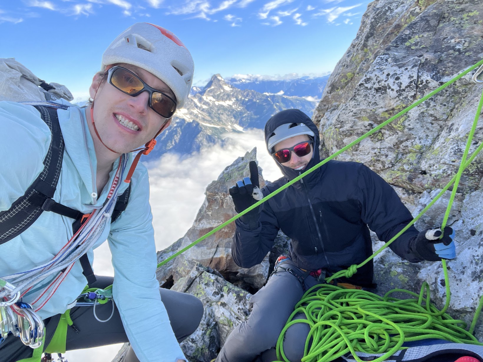
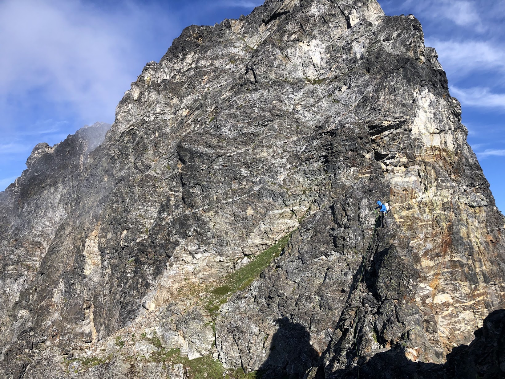
Trip: Glacier Peak - Frostbite Ridge Trip Date: 08/07/2022 Trip Report: TR and GPS track on my site here: https://www.jeffreyjhebert.com/adventures/frostbite-ridge-on-glacier-peak As the fourth-highest peak in Washington State and a beautiful, remote objective, I always wanted to climb more than just the standard route on Glacier Peak. With a perfect weather window over an early-August weekend and a good friend and climbing partner willing to suffer a bit, it was time. Adam and I drove out to the North Fork Sauk Trailhead on Saturday morning with open bivy gear, one axe and one light axe each, crampons, a 30m glacier rope, a few ice screws, a couple of pickets, trail runners, boots, and, perhaps most importantly, a good supply of whiskey. Our 3-day, lollipop plan was to hike 20 miles the first day to get near the start of the Kennedy Glacier, then climb the route and descend the Cool Glacier on the other side a good ways before camping again and then hiking out on the morning of the third day. We left the car at 10am and hiked up the standard approach until we hit the PCT, where we took a left up to Red Pass. We ran into a number of through-hikers on the PCT and each of them was a bit surprised to hear we were there to climb Glacier Peak. We also ran into a soloist who said he’d started up the Kennedy Glacier, but turned around. It was a bit ominous hearing that as we marched our way North on the PCT. The variety and amount of ground we covered this first day was pretty cool and we enjoyed it as much as we could despite the slowly-building pain creeping into our feet, shoulders, and hips. It was after 7pm when we made it to the tricky crossing of the Kennedy Creek. We just put our heads down from here and hiked up Kennedy Ridge to 5,300 feet where we expected to leave the PCT in the morning and saw a creek on the map, hoping there would be somewhere flat to bivy. We arrived at 8pm to find a nice little campsite with one other person, quickly set up shop, and conked out. The mileage and vertical gain from camp to the summit didn’t seem to warrant an alpine start, so we woke up at 5am and were moving by 6am. Heading straight up from camp was exactly the right move and quickly put us on a large moraine overlooking the entire North side of Glacier. There were some old signs of traffic, but the area had the feel of being forgotten and much more remote than other big peaks in Washington. We switched from trail runners to boots at the toe of the Kennedy Glacier at 7:30am, keeping crampons on our backs to start since the snow was reasonably soft and there was a clear dirty, rocky band to get through on the glacier below Kennedy Peak. This section was perhaps the most dangerous of the route—it was a crumbling mess with big boulders waiting to succumb to potential energy, perched on glacial till. After gingerly getting through this bit, we were on the wide-open Kennedy Glacier with very little crevasse hazard on its left half. Things were uneventful until we got to Frostbite Ridge itself. We could see the Rabbit Ears feature above us and our options were getting on a pumice treadmill up the ridge or staying on steep snow to the left. We opted to keep crampons on and stick to the snow. We stayed left past the first gendarme and on some of the steepest snow (~50 degrees) near the top, which went pretty easily with our second axes. The snow took us almost to the top of the face and then we scrambled a few feet to the highest point, just to the right of the highest gendarme (the Rabbit Ears themselves, it turned out) at 12:30pm. From here, we could see the rest of our route and it looked like it would all go. We could also see our 3rd class descent to the upper Kennedy Glacier. It looked loose and nasty, but ended up being quite reasonable and quick. The first 50 feet up the snow on the other side were steep, but it eased off significantly from there and we romped our way up, across, then down to the saddle below the final face. The face had the glimmer of ice to it, which was a welcome departure from walking. We determined the angle was low enough and the steep part short enough that it made more sense to solo than to pitch out. I set off and enjoyed settling into the flow of ice climbing despite the knuckle-bashing involved with straight-shaft axes. After the ice step of 40 feet or so, it was back to snow until the top, but it steepened up again right near the summit and made sense to front-point with both axes—quite fun to climb that way right to the summit. We arrived at 2:15pm. The descent was straightforward and pretty efficient on sloppy snow. We never needed the rope and took our crampons off as soon as we were down the initial steeper sections. We descended all the way to the plateau at 6,750 feet where we found a nice spot to camp off snow with great views. We got moving the next morning at 7:15am and were back to the car a little after noon. We stopped at the bottom of the switchbacks before the final flat slog out to consume most of the remaining whiskey and floated on a cloud of air most of the way back to the car. This route had a more adventurous, remote, wild feel than lots of other climbing in Washington. In a way, it felt more like a destination climb I would have flown somewhere to do. Yes, the walking to climbing ratio was quite high and we never took the rope out, but it did bring some fun challenges, stellar views, and time way out there. Gear Notes: Did use: whiskey Didn't use: 4 ice screws, 2 pickets, 30m rope, glacier kit Approach Notes: Buckle up2 points
-
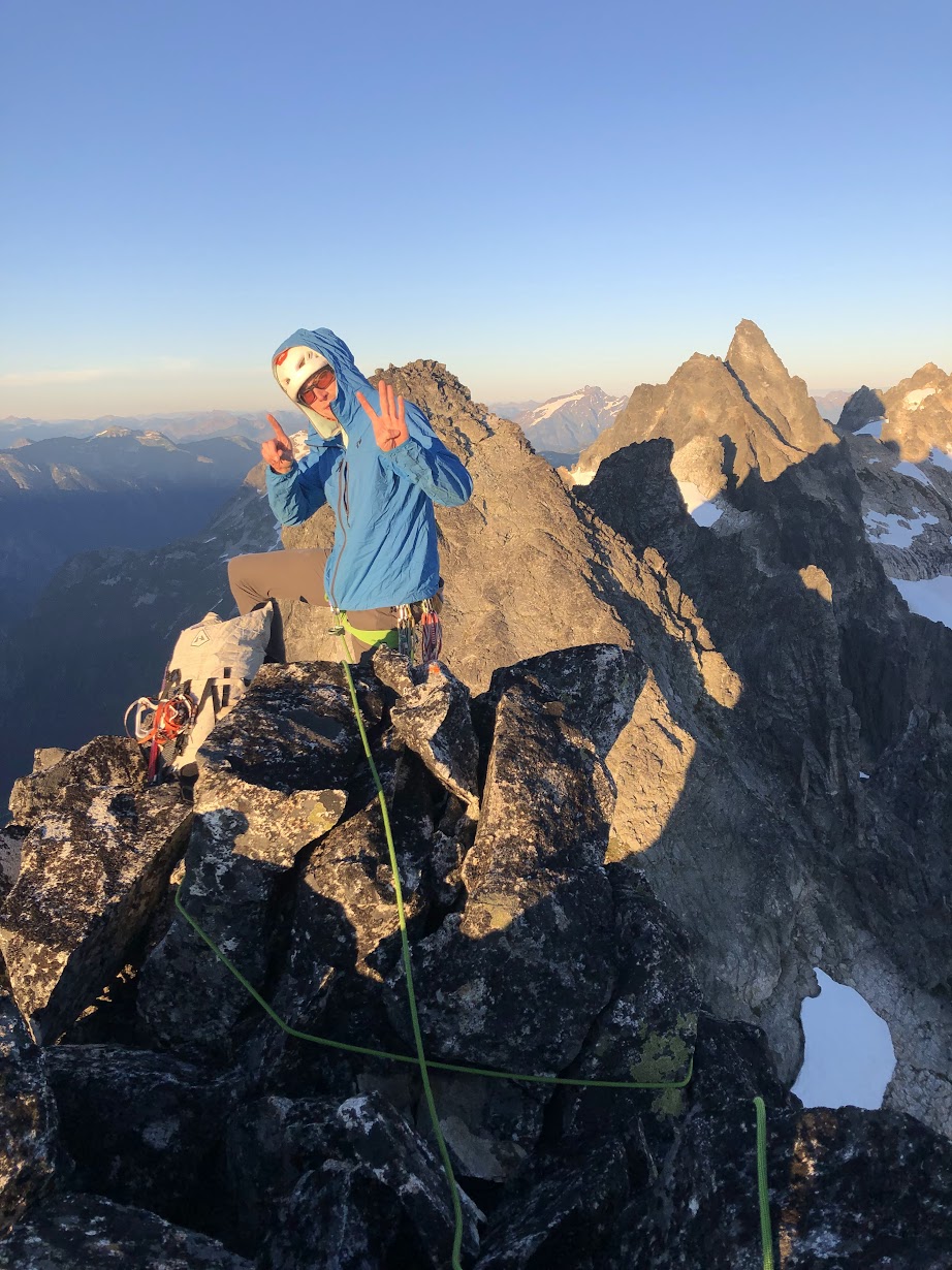
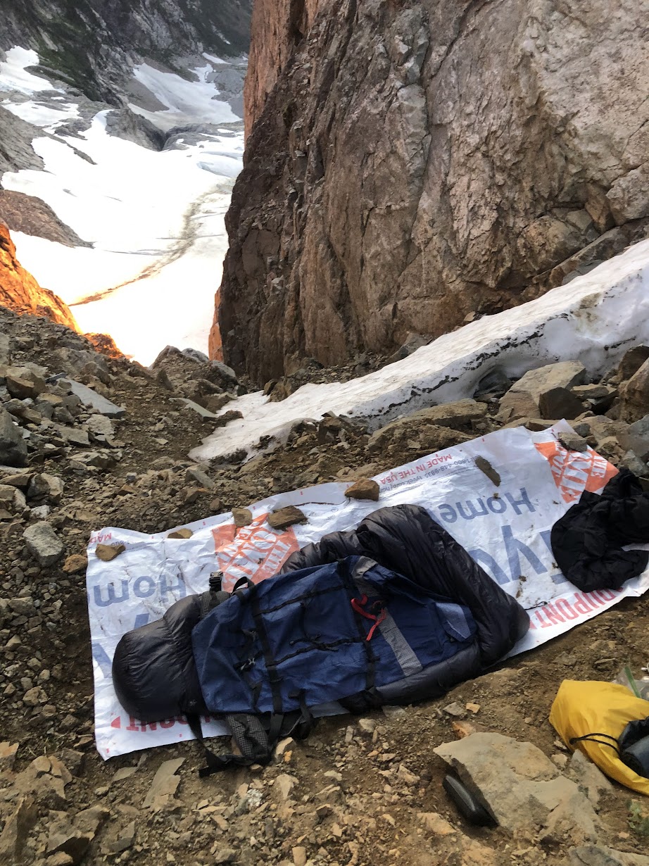
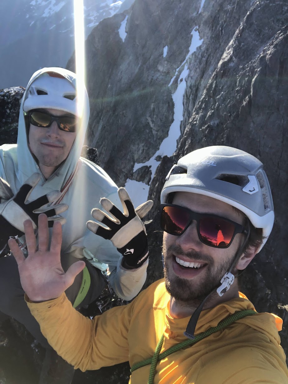
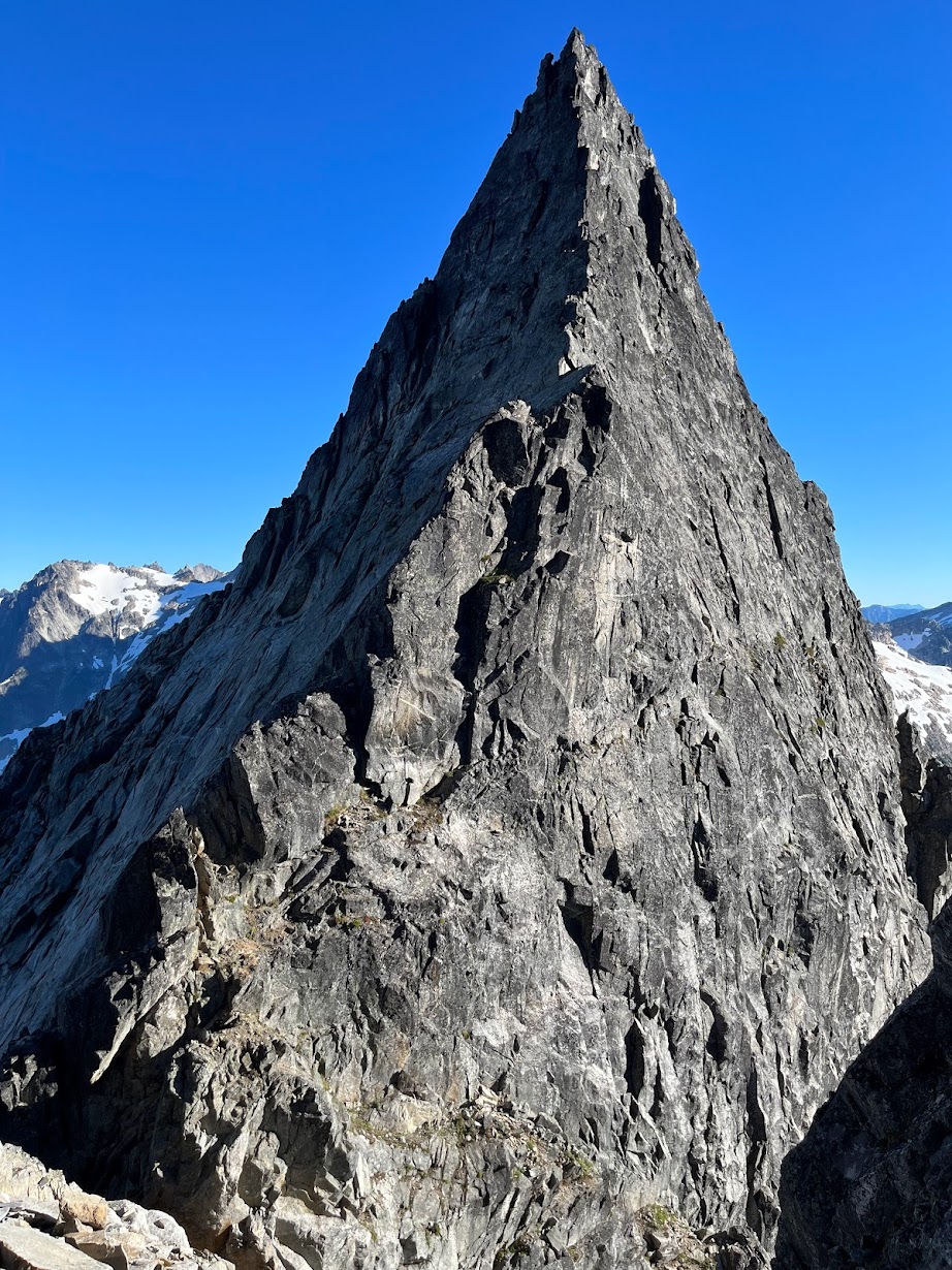
Trip: Picket Range - Southern Pickets Enchainment Trip Date: 8/4-7/2022 Trip Report: It's Pickets season folks! Kurt and I were supposed to be in the Bugaboos last week, but unstable weather encouraged us to stay local and sample a little bit of what the Pickets have to offer. Between weather and work on Monday, we had a pretty tight schedule that was surely going to be a challenge. On Thursday we slept in and got a casual start. AM rain was forecasted, and "all" we had to do was hike in to the base of little Mac spire. As we drove north, the rain poured down. By the time we reached the trailhead there was blue sky poking through, but all the brush was thoroughly soaked. The hike up went on for an eternity, and I was beginning to understand why the Pickets see so little traffic. By the time we made it to the alpine, we were drenched from head to toe, and the cold wind made for some rather uncomfortable slogging up to camp. Thankfully by the time we arrived, we were mostly dried out apart from our feet, which wouldn't fully dry out for another day. Day 2: Little Mac, East Mac, West Mac, Tower 1, Tower 5, Inspiration, Pyramid, Degenhardt. A cold and windy night brought us to a cold and windy morning, but the clouds had finally cleared and we could see our first peak. The brush and soil on little mac was still wet from the day before which made for some pretty unnerving scrambling up the first half of the mountain, but once the sun hit things began to dry out. Little Mac and East Mac went pretty smoothly with mostly scrambling and a couple pitches of roped climbing to the summits. West Mac however provided a little more adventure as Kurt tried to quest up some roofs in the middle of the east face but was thwarted and had to downclimb half a pitch. Thankfully we found the easy way and were off to the races. The East Towers sucked up so much time, and honestly I don't remember what we did to get through them. Huge props to Jeff Wright for remembering all the beta and writing such a detailed trip report. I wish I had that good of a memory.... or maybe I'd rather forget. Surfin' the East Towers Inspiration was Classic! By far the best climbing on route. Super straightforward, fun and engaging crack climbing. A large panel of the west face of Inspiration fell off some time recently, taking one or more of the rap anchors with it. This involved some downclimbing between stations and lots of loose rock on the rappels. At least one new station would be needed to fully rap the face. Rapping through the rock scar "Hey Kurt, I found the anchor!" Low on water, we brewed up below Pyramid and rested for the rest of the climbing ahead. Kurt took the leads up Pyramid and quested us up into some hard 5.10 roofs that ended up bring the crux of the entire traverse. We still have no idea where that 5.8 chimney is. Or where we were for that matter. We forgot to take a picture on top of Pyramid, so here's number 7! Summit 8! Having lost a fair bit of time, we raged up Degenhardt at sunset. Racing the fading light, we traversed along the ridge over to the base of Terror and the supposed "excellent" bivy. We didn't have to climb with headlamps! A cold wind howled up the north side, sending morale plummeting. The only somewhat flat spots were on the frigid windy side of the ridge so after an unsuccessful attempt to rig up my tarp to block the wind, we opted to engineer our own spots to the south. We were both somewhat successful in digging out our own bivys, and went to bed late and exhausted. Day 3: Terror, The Rake, The Blip, East Twin Needle, West Twin Needle, Dusseldorfspitz, Himmelhorn The next morning came too soon and we started with Terror for breakfast. The east ridge went quickly and the mountain most definitely didn't live up to the name. Summit of Terror for the actual ninth summit. The Rake, similar to the East towers sucked up an incredible amount of time. We went too high on the first gendarme and had to downclimb the ridge to get to the 5.7 traverse. The rest was just slow route finding up along over and below the ridge. Low on water and with a lot of climbing still ahead of us. We brewed up again below The Blip, four more towers standing between us and camp, two of which being the 5.10 cruxes of the route. Summit 10! Wonderful rap anchor off The Rake. We cruised over the Blip and up the lower pitches of East Twin Needle. A little intimidated by the 5.10 crux, I took the lead up the spectacular knife edge ridge to where it kicks back to a slight overhang. With my pack feeling heavy, I sized up the moves above me, poked my head around to the left and balanced my way around the corner. Skipping the crux. With that out of the way, we raced down up and over West Twin Needle and over to the base of the intimidating East ridge of Himmelhorn. As the only one who brought rock shoes, I took this crux pitch as well. Pulling around the corner I was greeted by a fixed nut, and wild face climbing on hollow sounding rock. It wasn't all too hard, but by feet and calves were pumping out from the heavy pack and everything we had done up to that point. Thankfully I pulled it off without a hitch, and all the hard climbing was behind us. This pitch is probably only around 10a/b, but I absolutely would have called it 10+ if I had climbed it as an onsight first ascent. The overnight pack certainly doesn't help. Summit 13 and the east ridge of Himmelhorn trying to intimidate us. Dusseldorfspitz! Gipfel 14! Day 4: Ottohorn & Frenzelspitz The next morning at the Himmelhorn-Ottohorn col I woke up to sunlight casting off the mountains around us. I must have turned off my alarm at some point and fallen back asleep without realizing it. Kurt forgot to set one as well. Neither of us were upset by the extra half hour of sleep, but knew we needed to get things moving if we wanted to get out at a reasonable hour. Don't roll over! A quick jaunt up and down Ottohorn started day four. The effort of the last three days weighted on our legs, but the lack of overnight packs made it feel less like a chore. We carried a rope and rack up for the supposed 5.6 summit block, but they never saw any use. Once back down at the col, we scrambled down to the north and around the east face of Ottohorn to reach Frenzelspitz. I don’t think we took the same route as Priti and Jeff, but regardless it got us where we needed to go at loose 4th class with tiny bits of low 5th. Continuing this trend, we scrambled up to the base of the last pitch of Frenzelspitz where Kurt took the sharp end and led us up a short pitch to our final summit. We have a serious problem. This was summit 16. Someone teach us how to count. The descent went pretty much as expected. Lots of knee pain and schwacking took us around Crescent Basin, down stump hollow and out along Goodell creek. Huge thanks to Wayne, Jeff and Priti for all the beta. I can’t imagine how much longer everything would have taken without those detailed topos for every climb and descent. Both Kurt and I were blown away that the FA team of three did it in almost the same timeframe as us, and even tacked on the Chopping Block! Gear Notes: Single rack .1-2 doubles .4-1, One rack "nice" nuts and a half rack leaver nuts, 10 single runners & 4 doubles, 30 feet 5mm cord for rap anchors, 60m 8.5mm rope, Light Axe and Crampons Approach Notes: Over the river and through the woods, then up up up and some more up through more forest until you're finally in the alpine oh god.1 point
-
Trip: Selkirks - Lionshead - Circle of Life 5.11b/c, C1 FA Trip Date: 08/08/2022 Trip Report: I just finished putting up a project I have been working for the last couple years. It is on the north face of Lionshead up in Selkirk mountains of northern ID. I first heard about the potential line years ago but wasn't climbing hard enough at the time. Then 2 years ago I started investigating and scrubbing it. Finally after many hours of scrubbing it came together this weekend. I do want to thank the numerous friends that I dragged up there who patiently belayed me and also spent hours cleaning and scrubbing the route. The climb is 5 pitches long and contains a lot of really good 5.10 and 5.11 crack climbing. There is 10 feet of pretty blank rock that earns the C1 rating. It is straight forward aiding on a cam and a couple of fixed nuts. For those inclined to try and free it, I would guess it goes at mid to hard 5.12?? So go get the FFA and let me know! The crux pitch would be a classic at most crags complete with really good 5.11 finger crack to some steep laybacking/hands. The descent is to rappel the route which helps make the route feel less committing, and anything in the 5.11 range can be pulled through (although that would be most of pitch 3!). Pitch 1 - 5.9 Pitch 2 - 5.10b Pitch 3 - 5.11b/c, C1 Pitch 4 - 5.10+ Pitch 5 - 5.11b I personally would say it is on par with the classics at WA Pass for quality of climbing although it contains a little more lichen due to lack of traffic currently. I would definitely recommend doing it. The north face of Lionshead in the evening light. The line is marked in red. Starting up pitch 1. Looking up the start of Pitch 2. Starting up the crux Pitch 3. Looking back down the top half of the crux pitch 3. Such good climbing!! Nearing the top of pitch 4. The crux 5.11 roof on pitch 5. Gear Notes: Doubles from .2 to #3 with triples in the .3 to .75 and a single #4. A single set of nuts (offsets more useful than regular). Also a .3/.4 and .4/.5 offset cam come in very handy. 2 ropes for the rappel. Approach Notes: Take the normal approach to Lionshead. The route is on the north face about 100 ft to the right of the route Lion Tamer.1 point
-
1 point
-
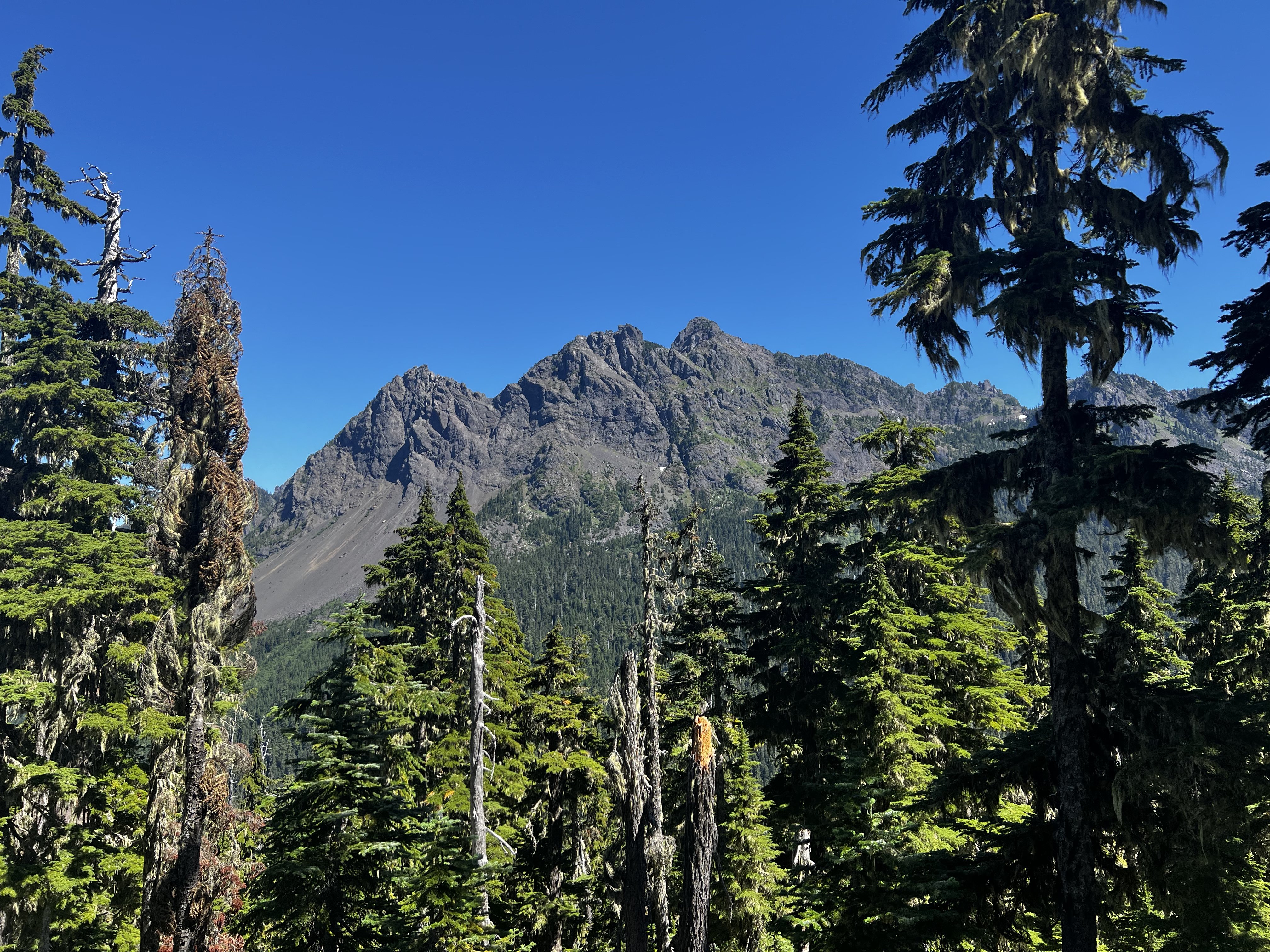
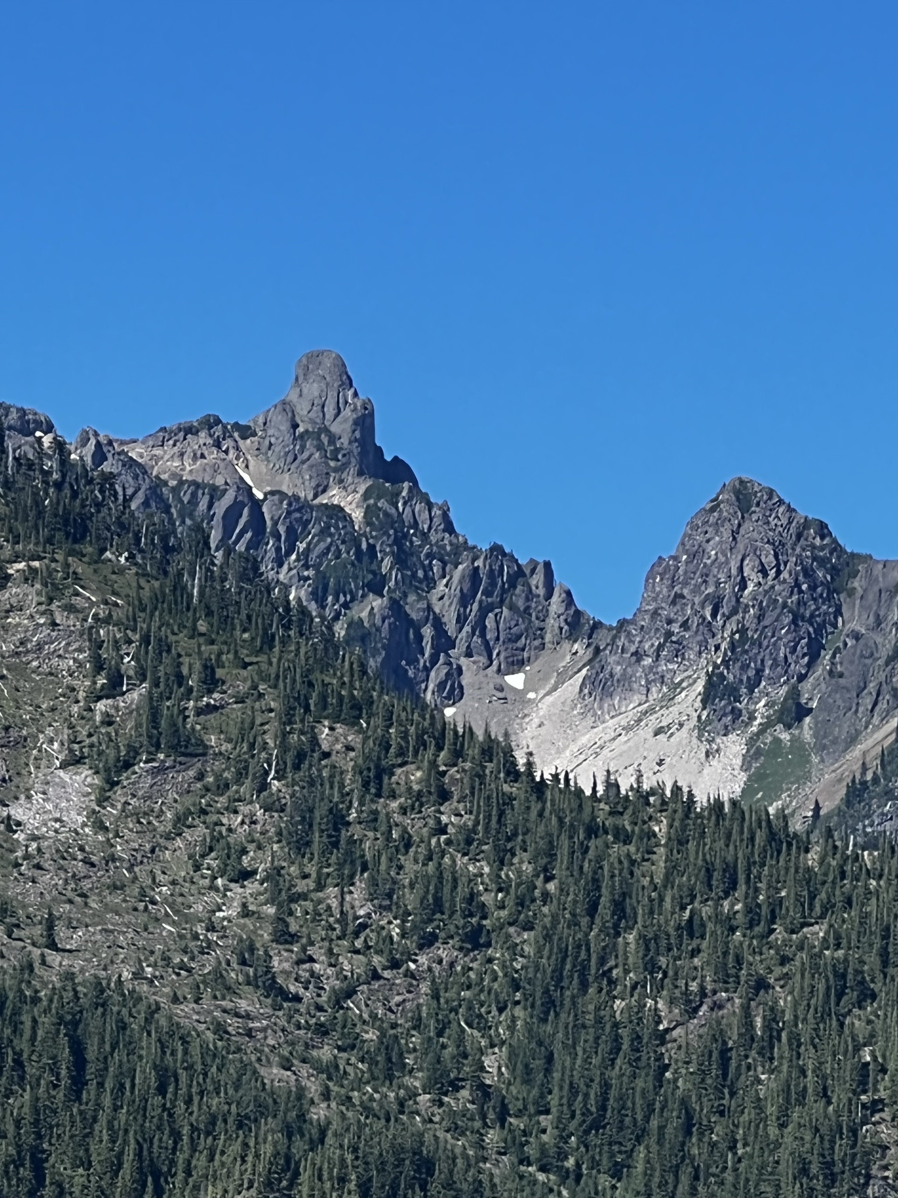
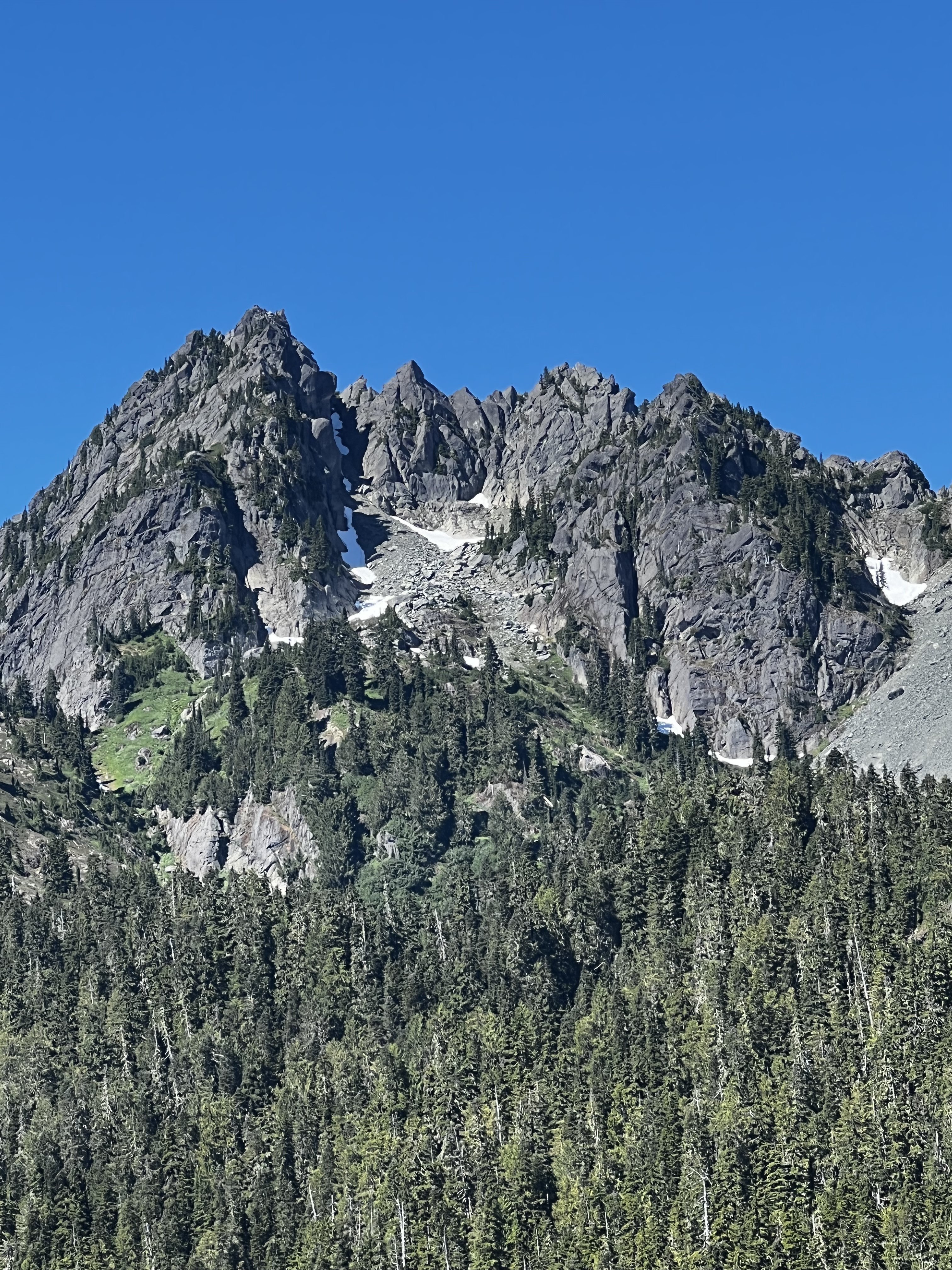
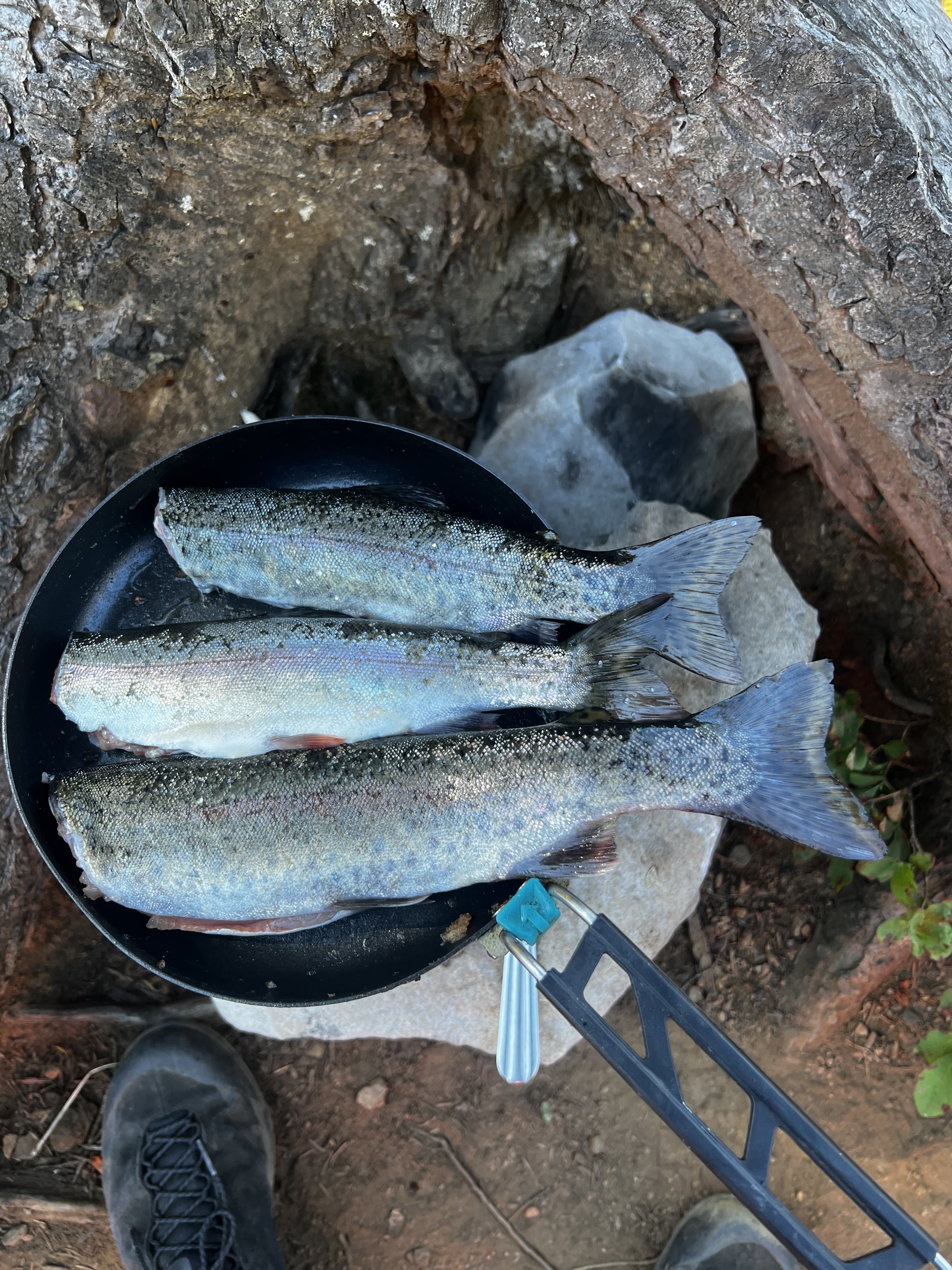
Didn't climb anything, but went up to Mildred Lakes to fish with my son and his friend, who are both in college...and of course Kiba came too. Actually, I hiked up there Friday night, fished Saturday, and then hiked down Saturday afternoon to meet them at the trailhead, and we hiked up that night and fished Sunday morning and then hiked out. The trail in is steep in parts, I've been going up fisherman paths in the Olympics all summer, but this one is stout in parts. All the hikes up were done in the dark, got up there Friday night at 11:30 pm, and with the boys we got to camp just after midnight. Good times. I saw a bear in a tree Friday night. The vistas on the way in gave me some great memories. The views of peaks in the area: Climbing Pershing with @OlympicMtnBoy Climbing Bretheron: Climbing Mt Stone with my friend Steve I think I've climbed Mt Stone at least 3-4 times. One of my favorite scrambles in the Olympics. Climbing Cruiser in "winter" with @Alpinfox the latter being a little laughable that we might think we were the first to get up there in winter, but hey, it was fun non-the-less. I never said I was the sharpest tool and if you know Pax you know he ain't either . See the entry about Cruiser here...I just ordered this book, I have never read it! Lots of interesting info there. "The Bremerton Ski Cruisers" being the name source for Mt Cruiser is one tidbit I learned. I wonder how many times the couloir on the north east side of Lincoln has been skied? See it to the right of the main peak here?: Great success. Thanks for allowing me take my little trip down memory lane. It was a great time up there with the boys. Oh and very cool to see Mildred upper and middle lakes from @JonParker climb of Cruiser this past Friday....the first pic I can see our camp and fishing spot right there.1 point
-
1 point
-
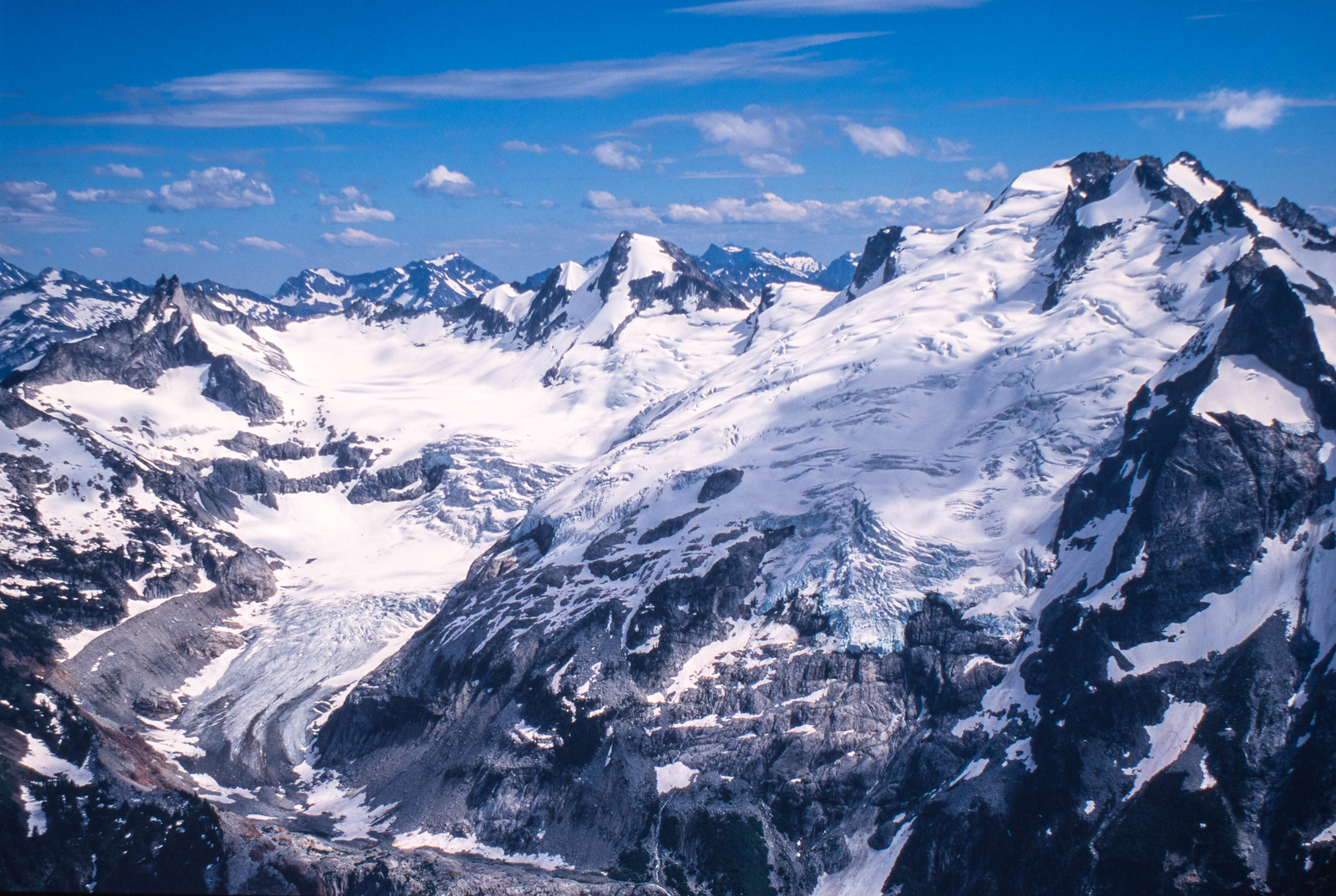
Pretty depressing to see the glacial recession in just the last two decades. I was listening to an endurance sport podcast this morning and the runner being interviewed was talking about traveling to Bhutan to participate in an ultra intended to increase climate change awareness. I'm not sure how people justify an International flight to raise climate change awareness, can you purchase a carbon offset or something? Sounds like a scenario from Idiocracy. https://newsinfo.inquirer.net/1147621/bhutan-to-host-worlds-toughest-ultra-marathon-to-raise-climate-change-awareness1 point
-
At first I didn't notice the bike in the photo and thought you were referring to the pace he set @olyclimber1 point
-
Adding some nori or chopped dried shiitake really ups the tuna-ramen game ? Nice work!1 point


