Leaderboard
Popular Content
Showing content with the highest reputation on 09/14/21 in all areas
-
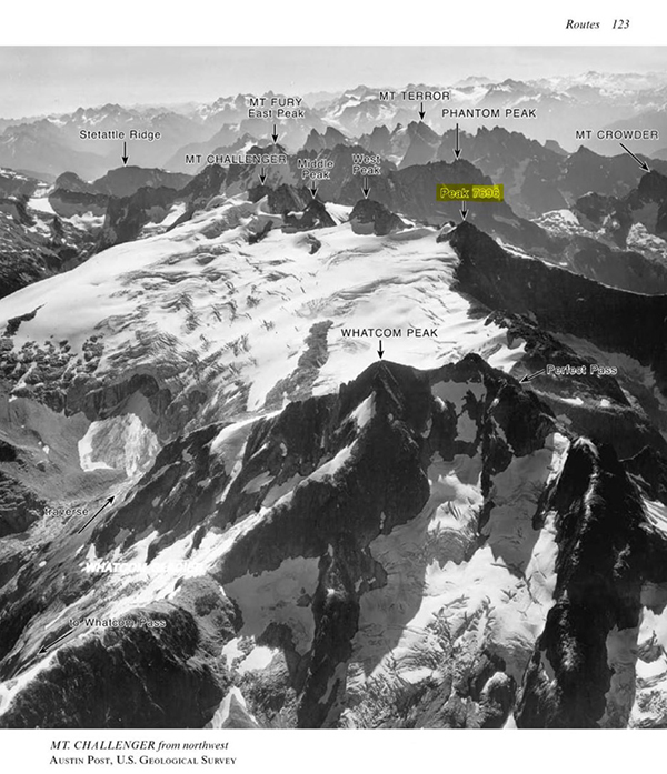
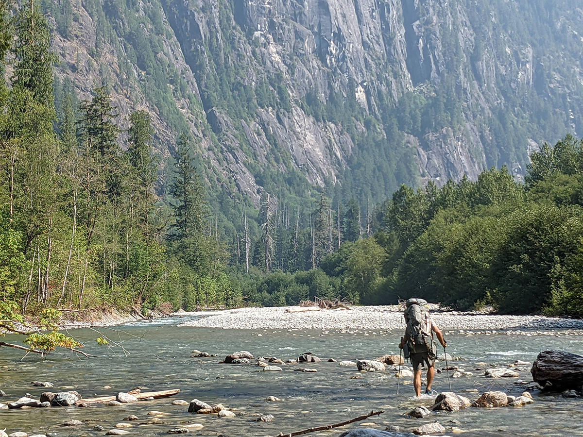
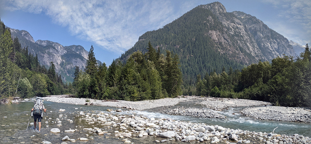
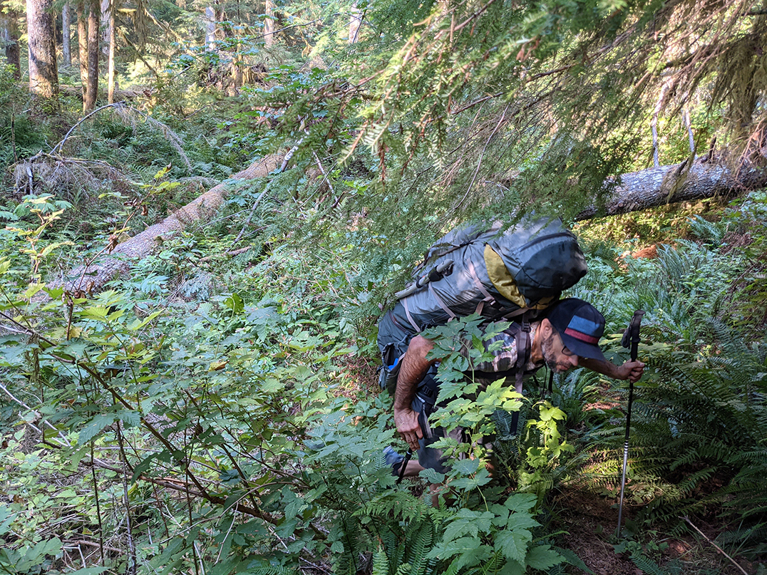
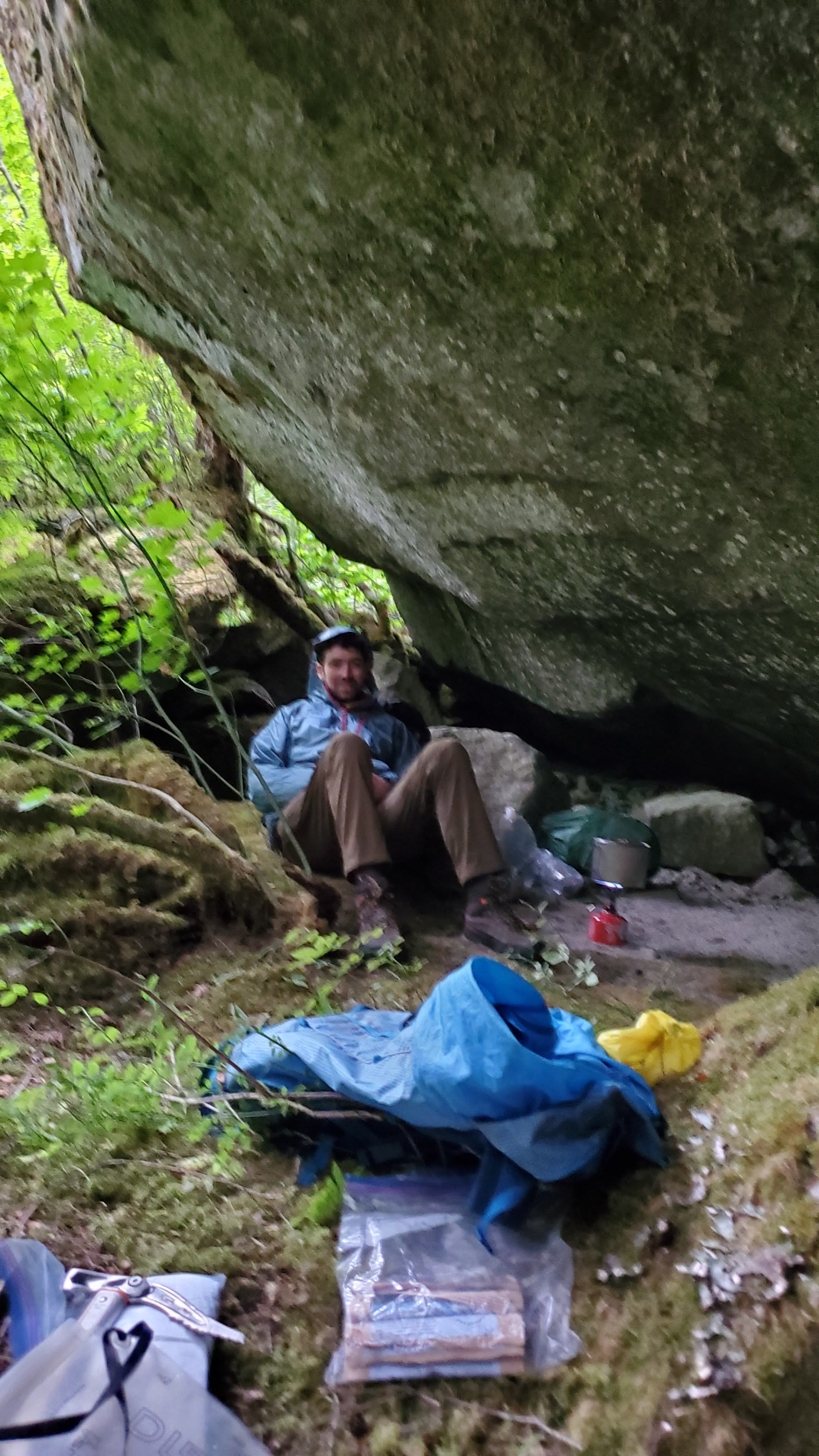
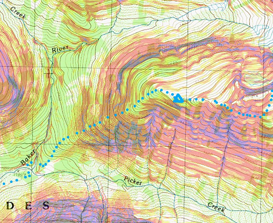
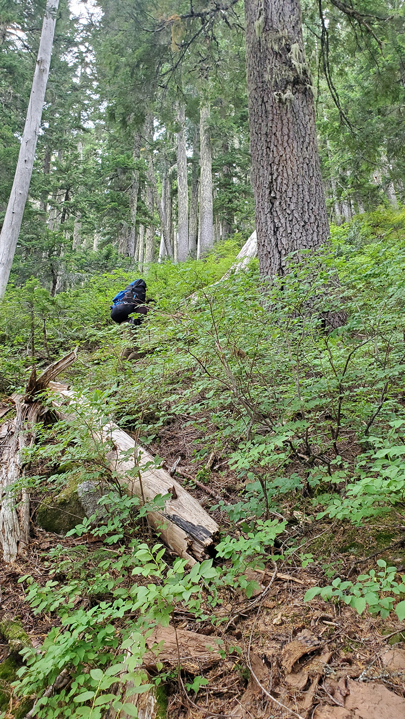
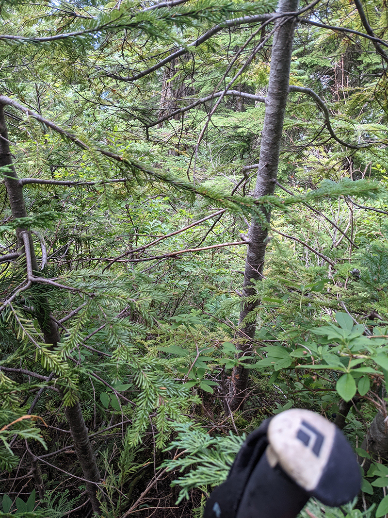
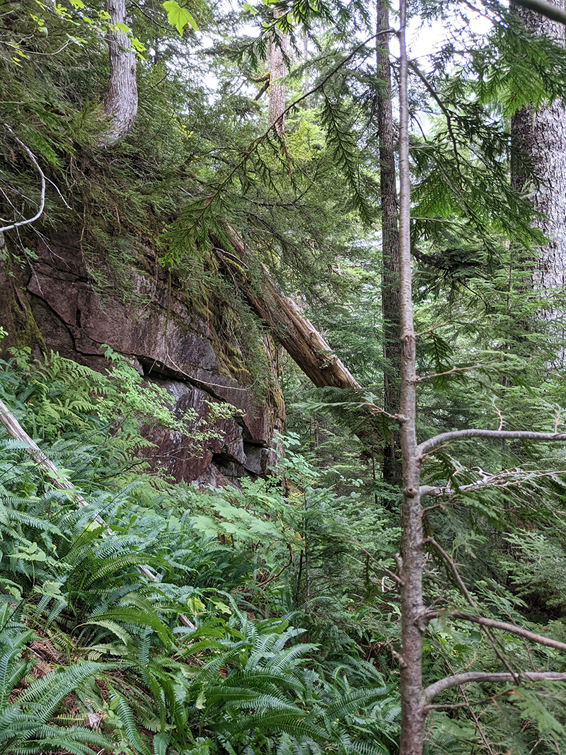
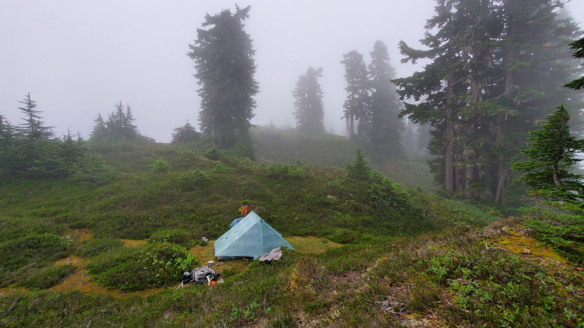
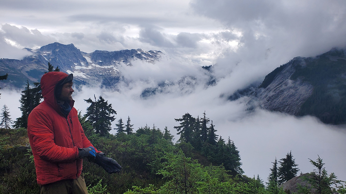
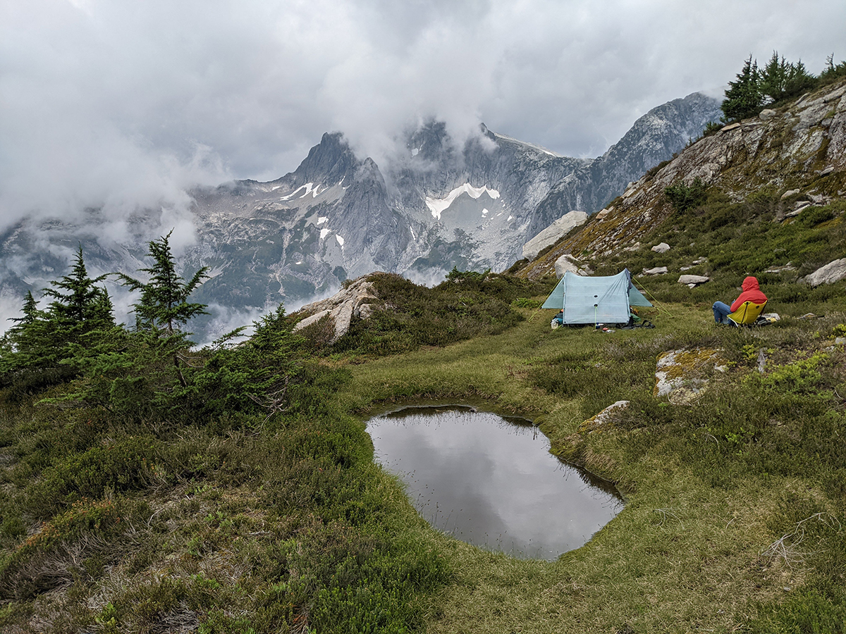
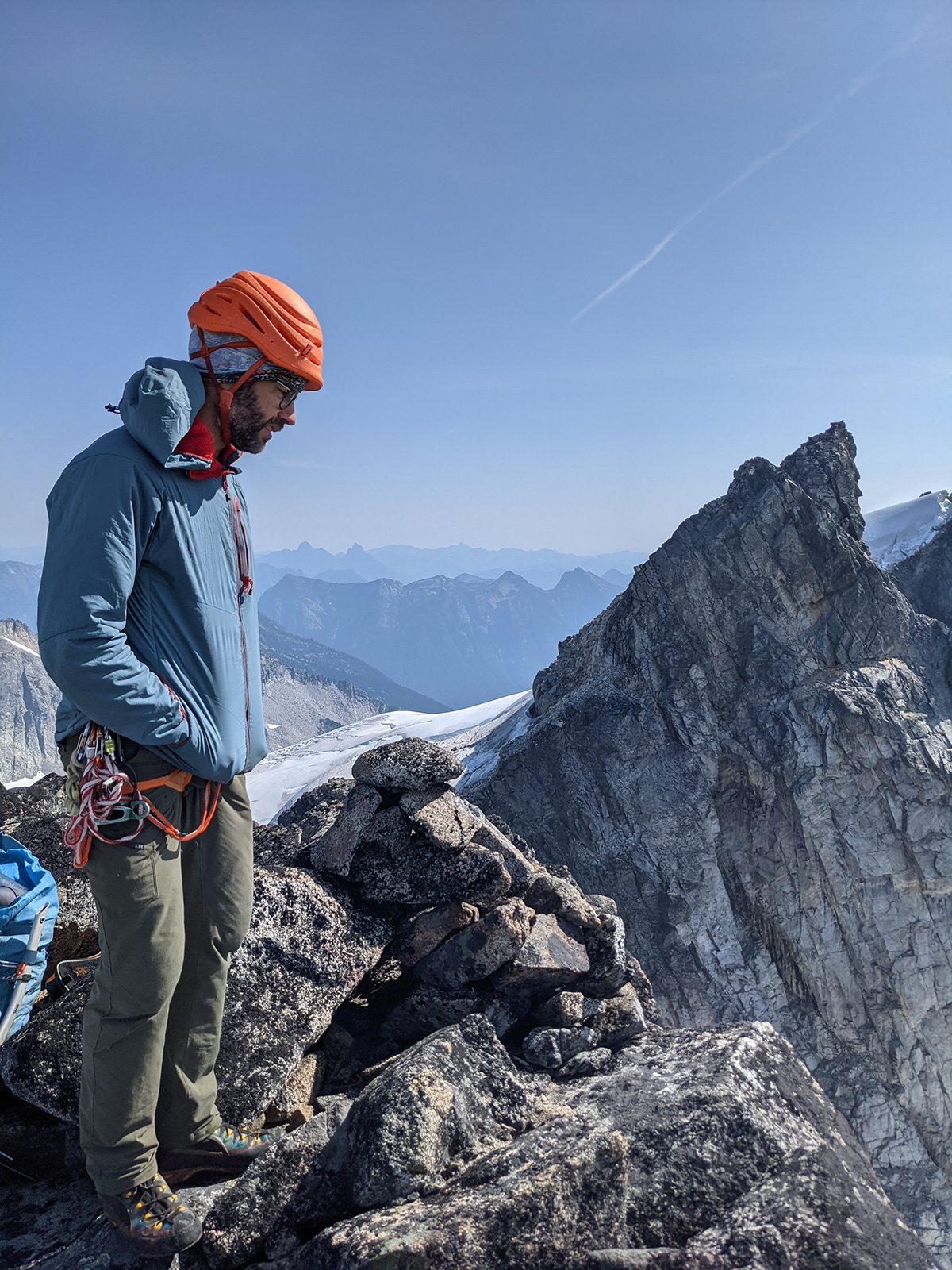
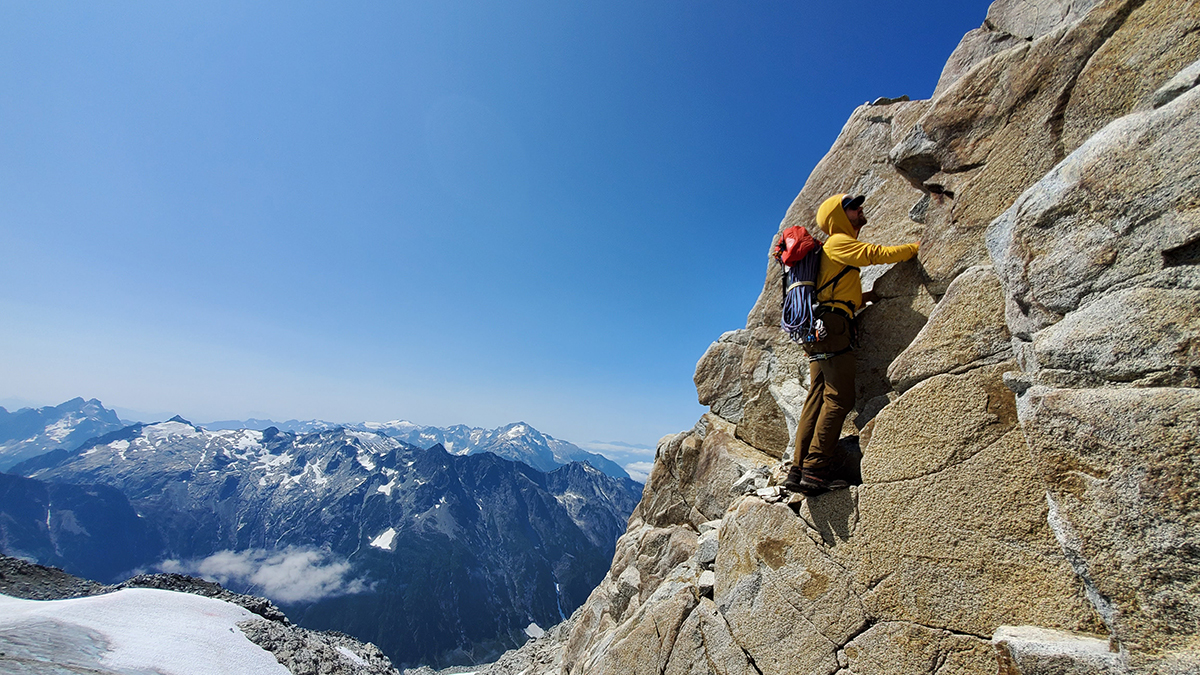
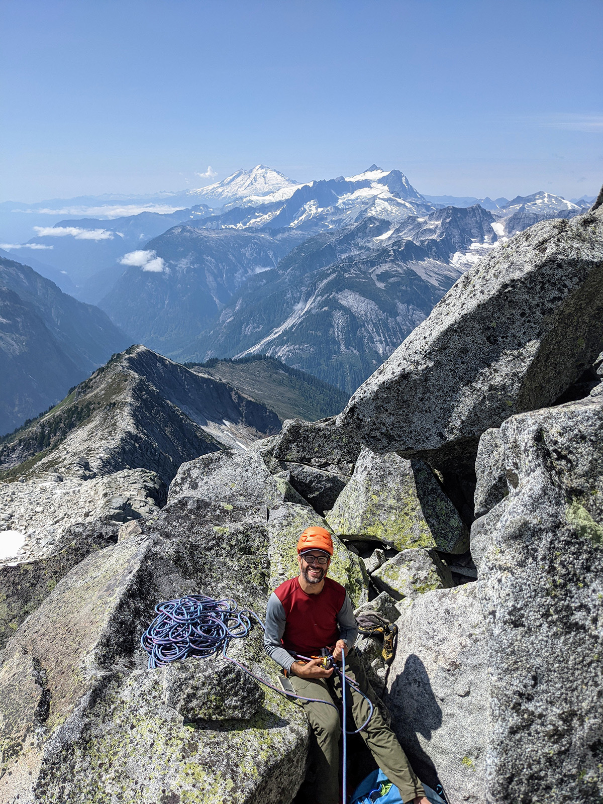
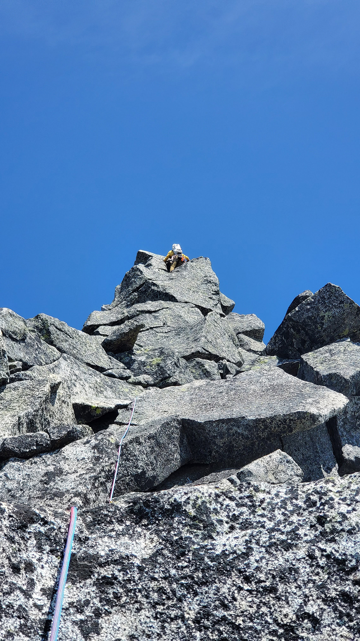
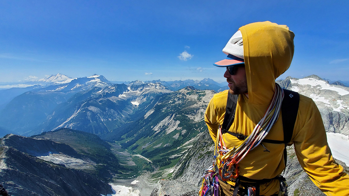
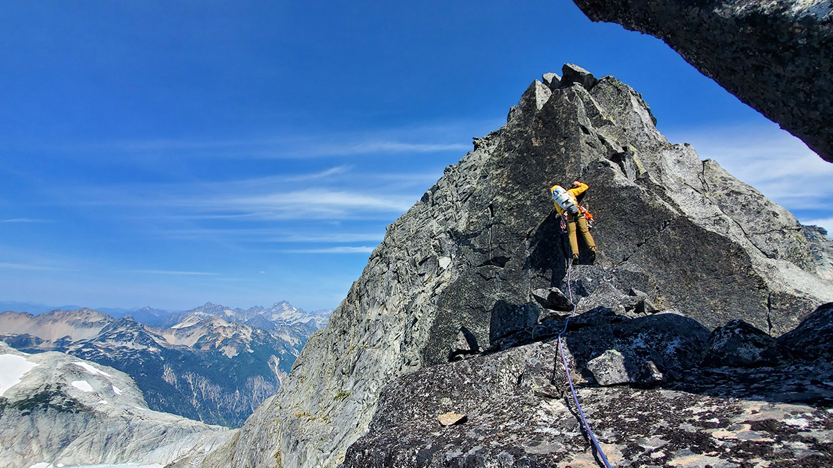
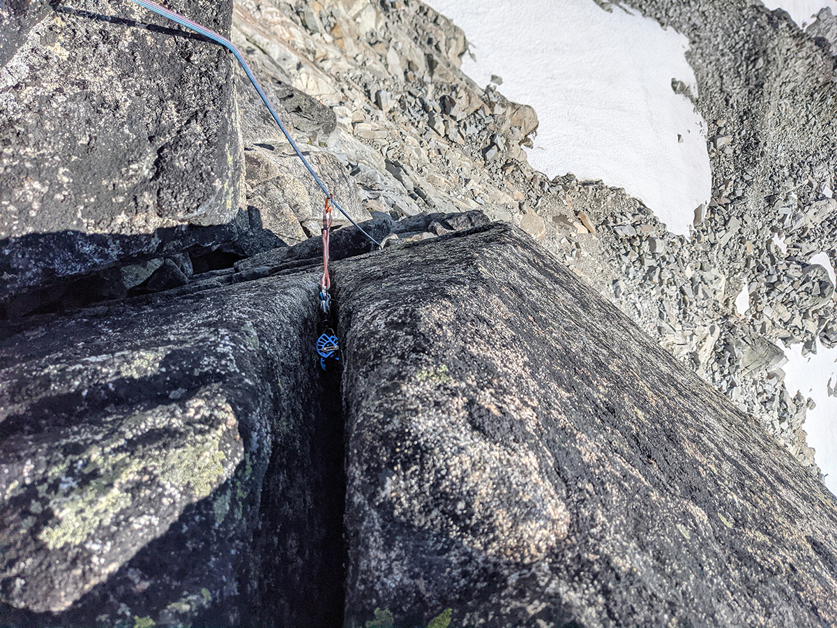
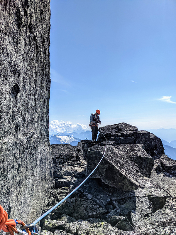
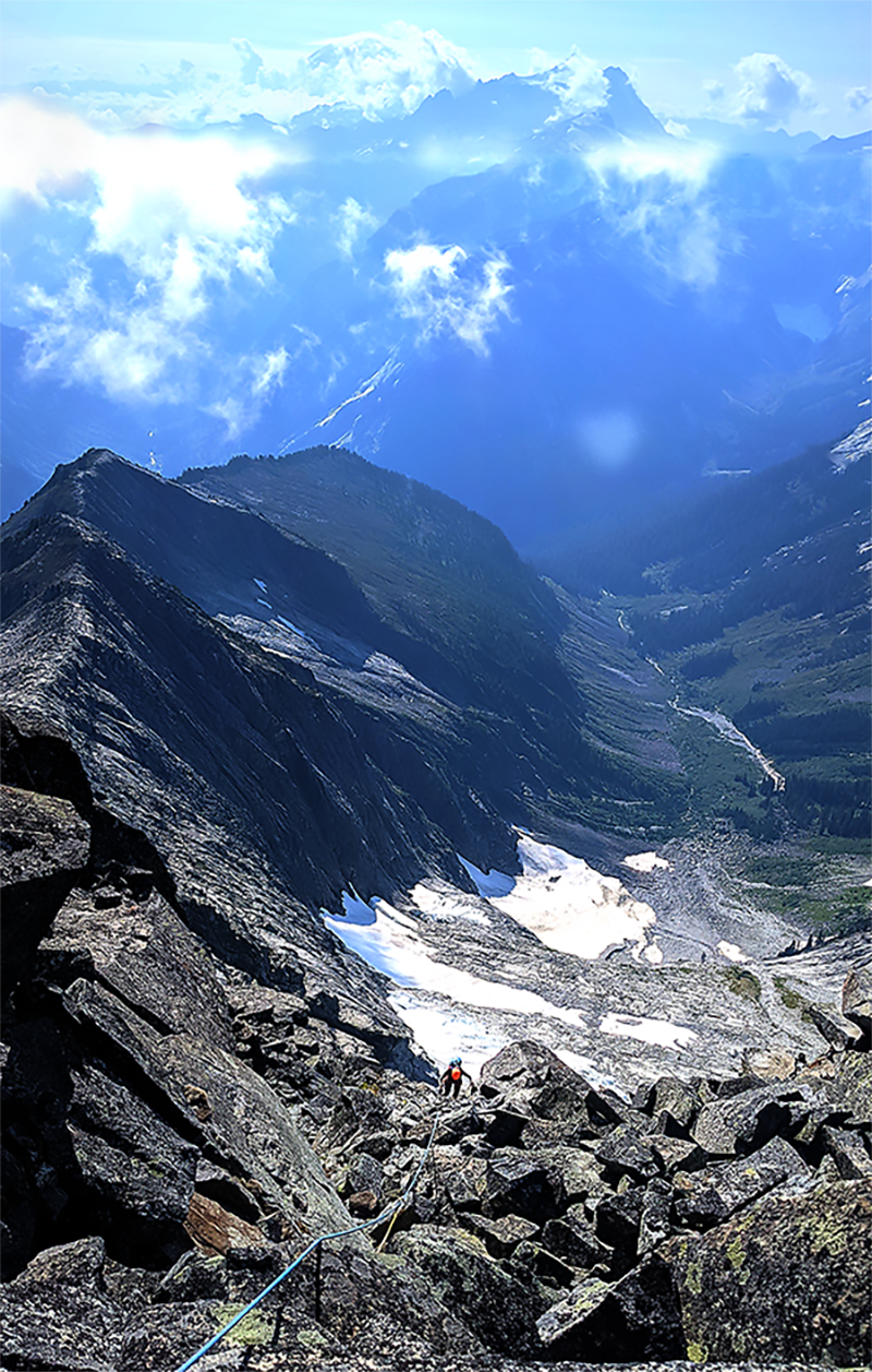
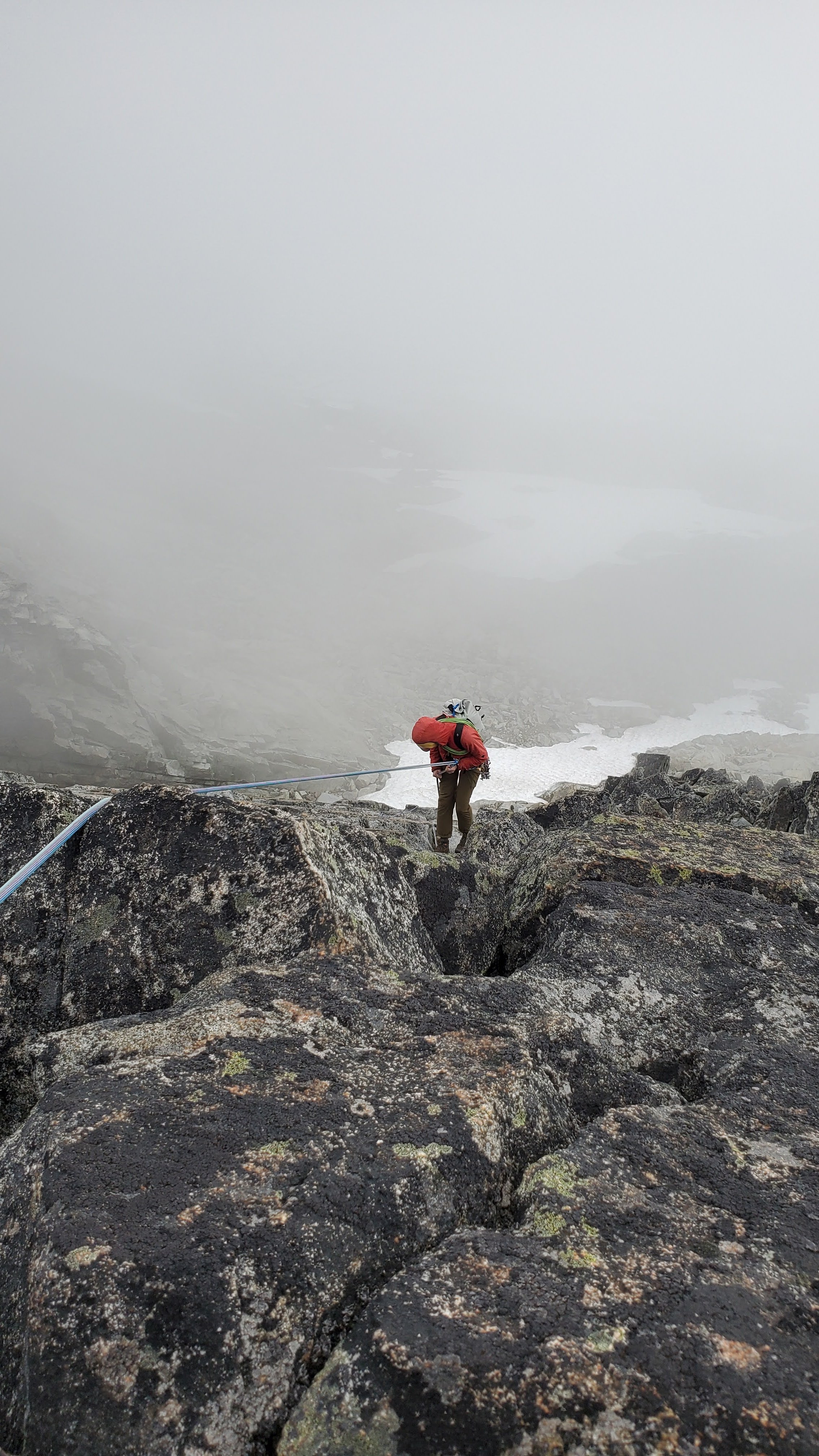
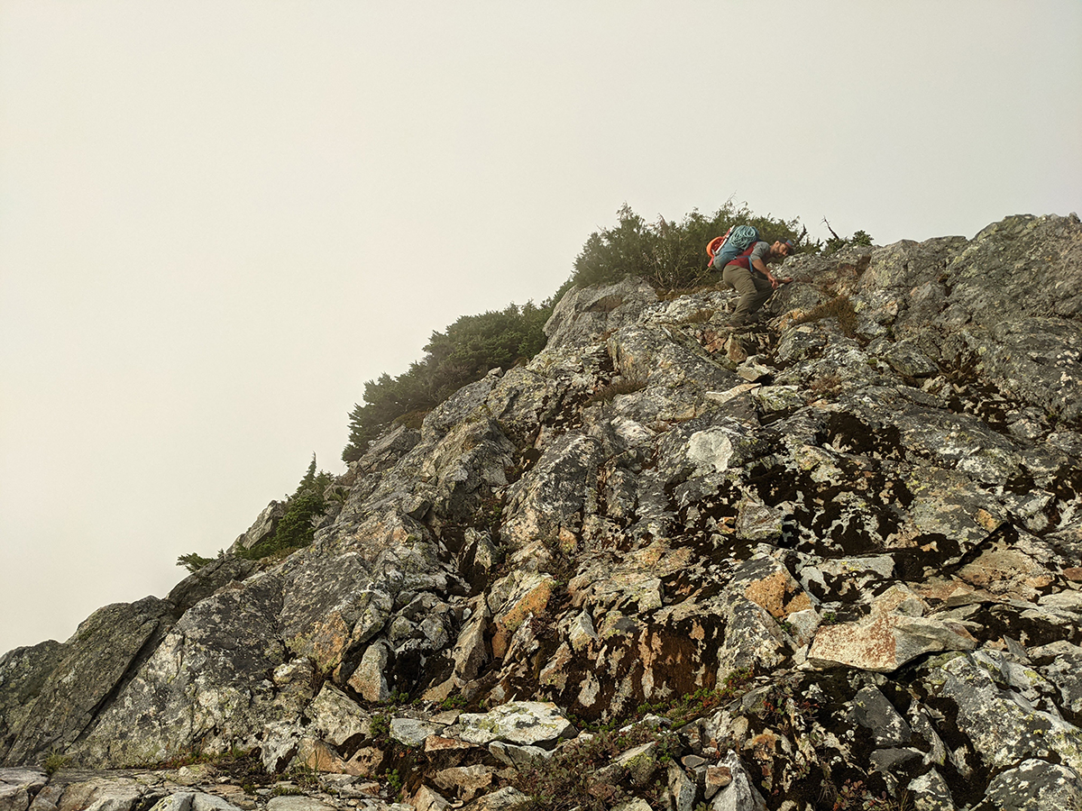
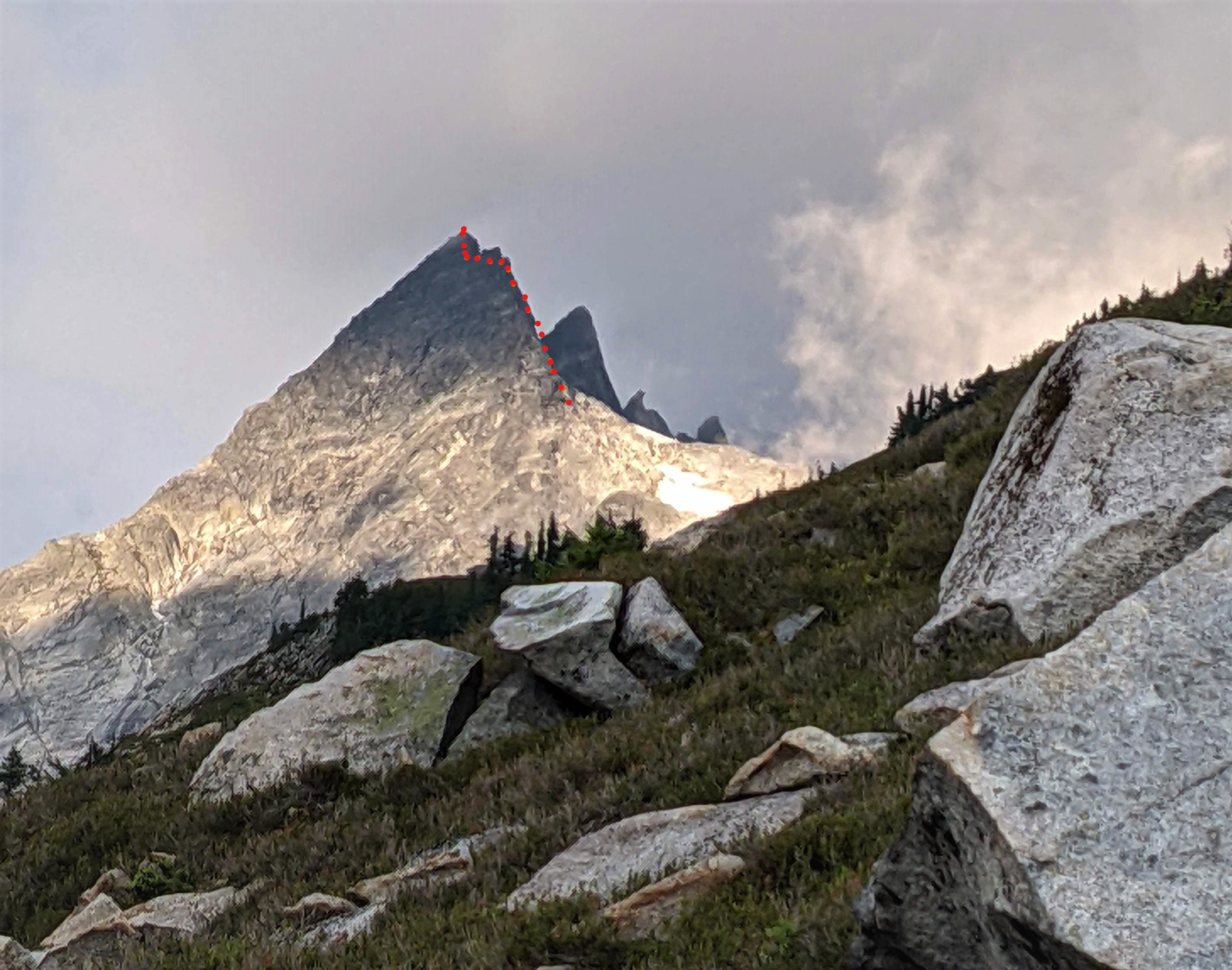
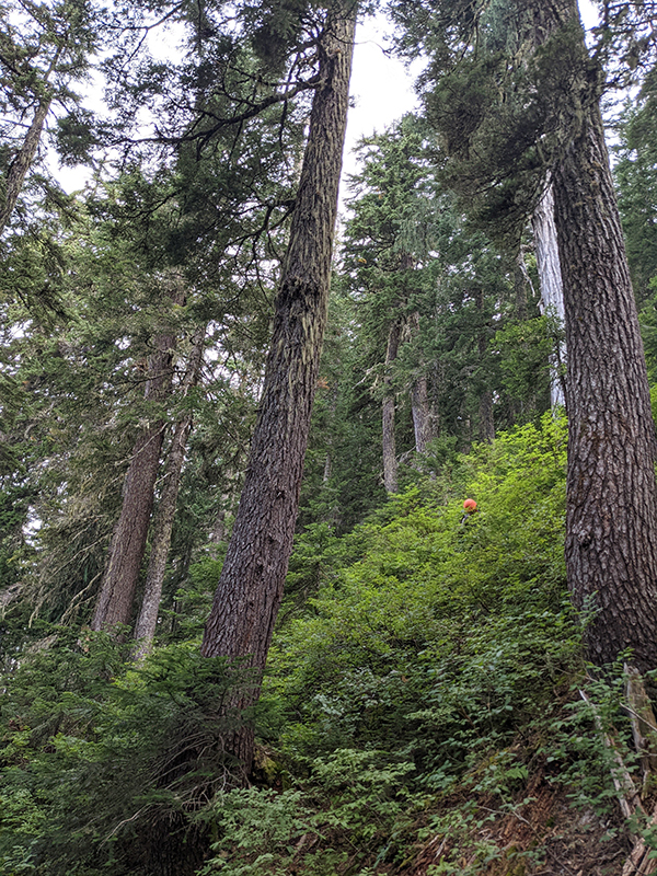
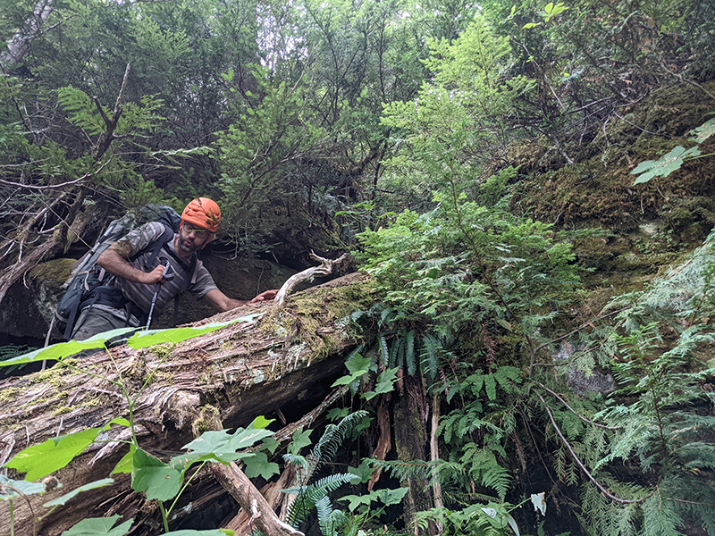
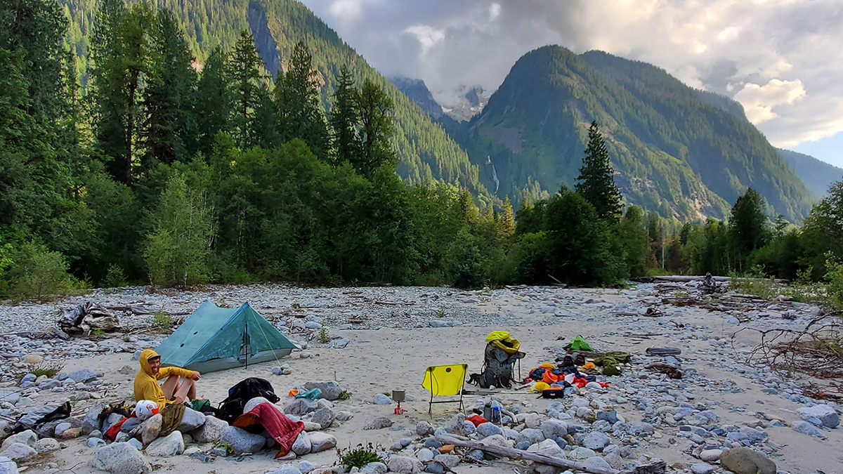
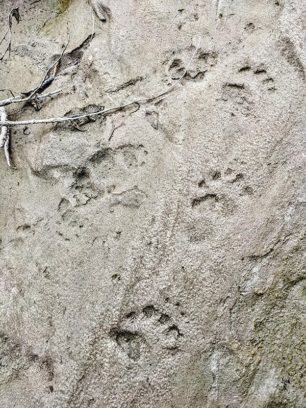
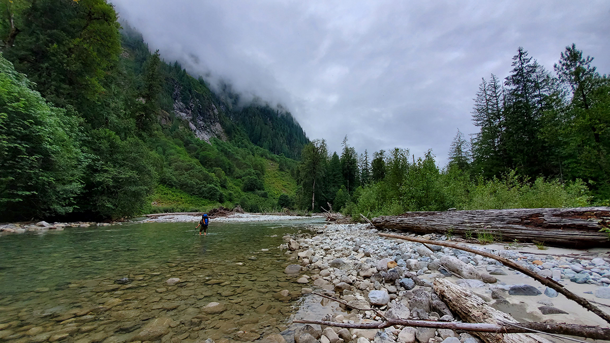
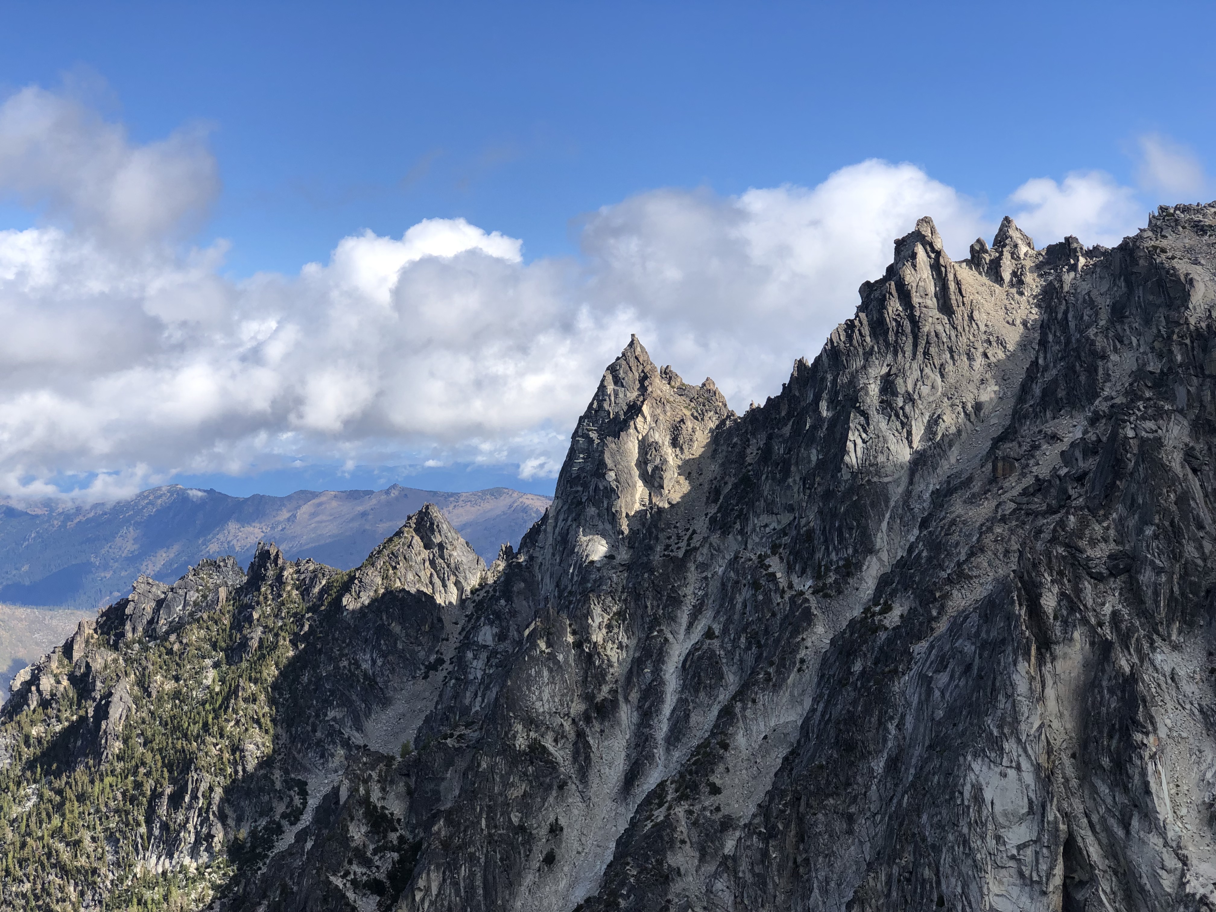
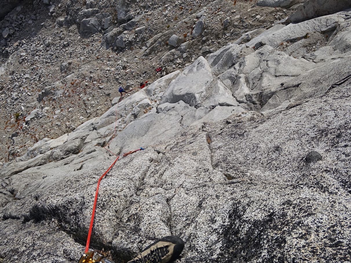
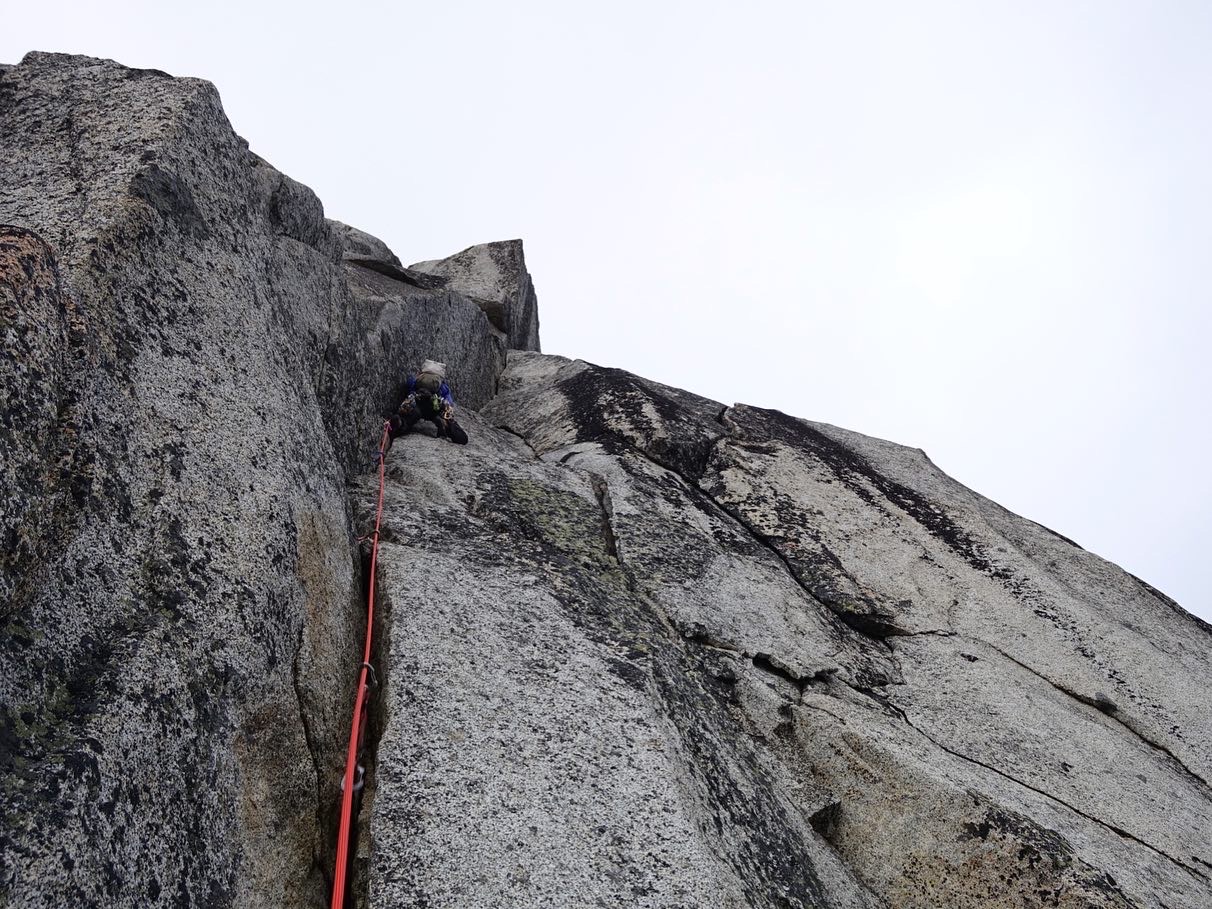
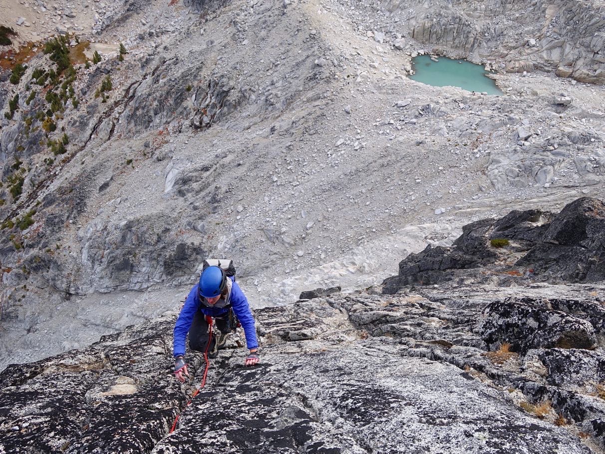
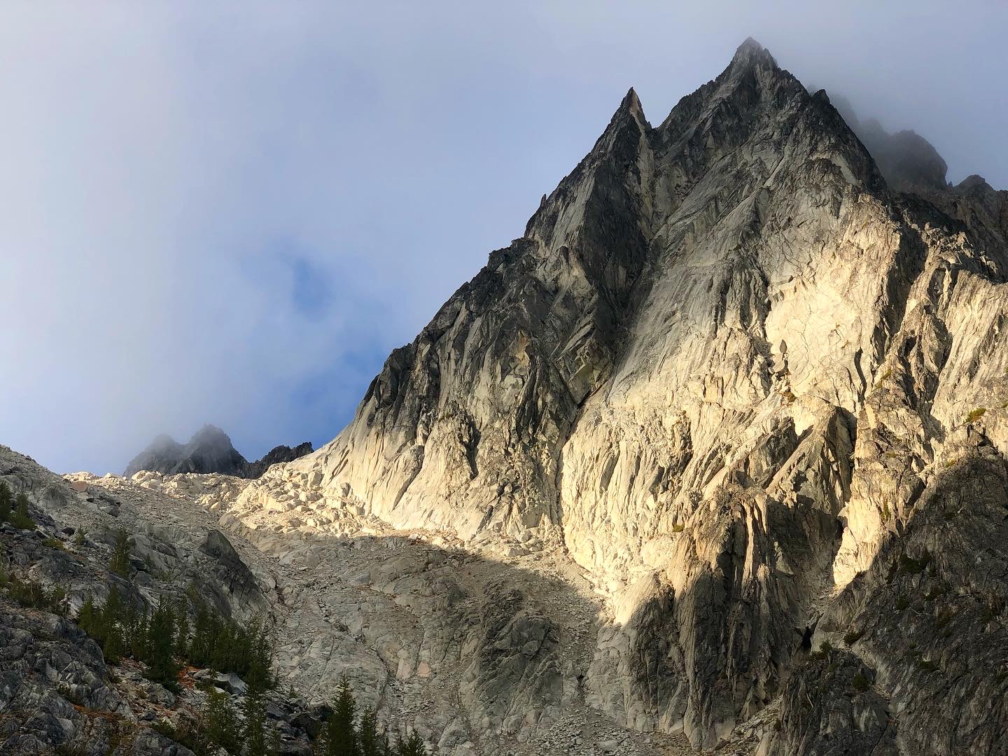
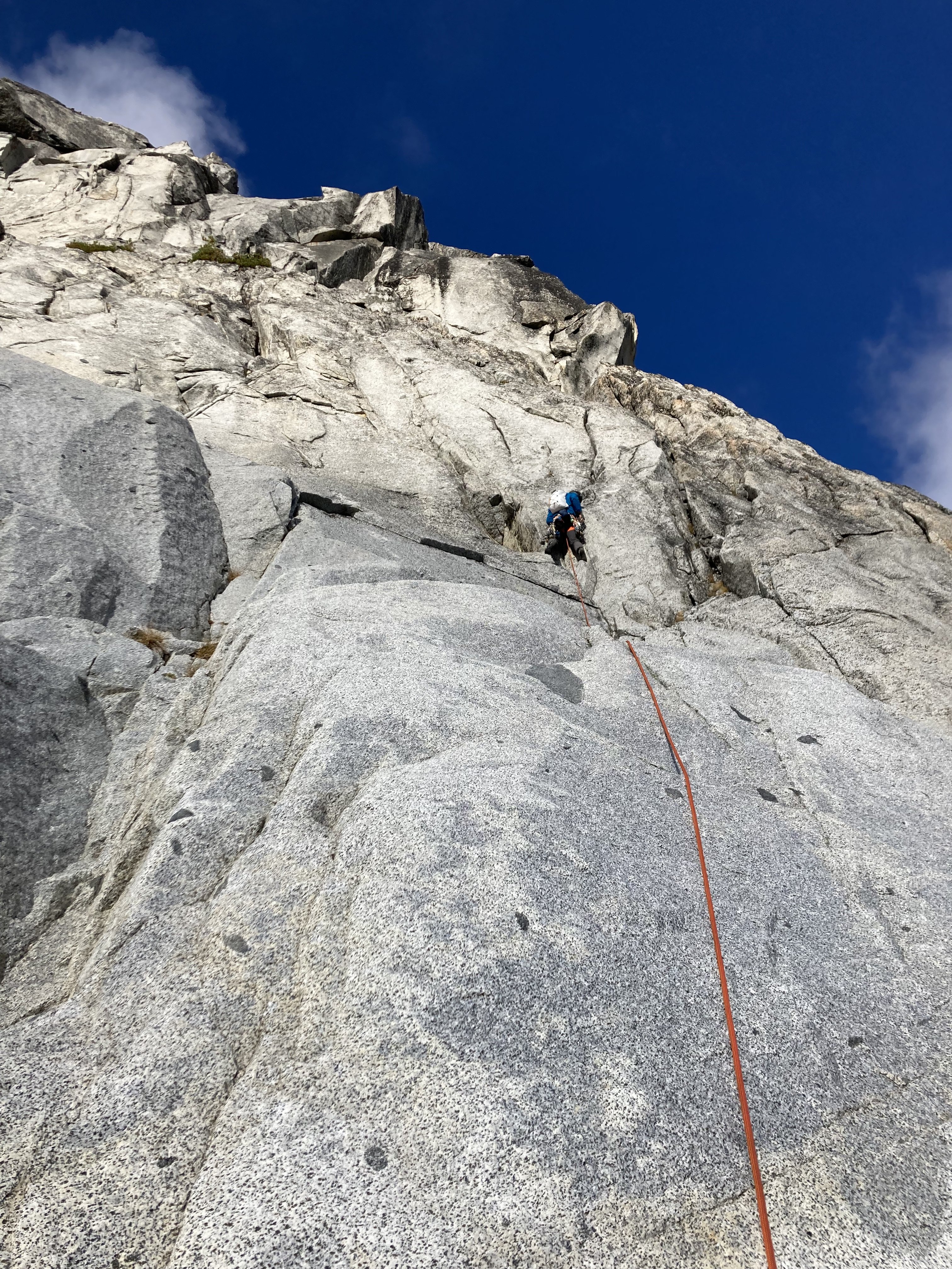
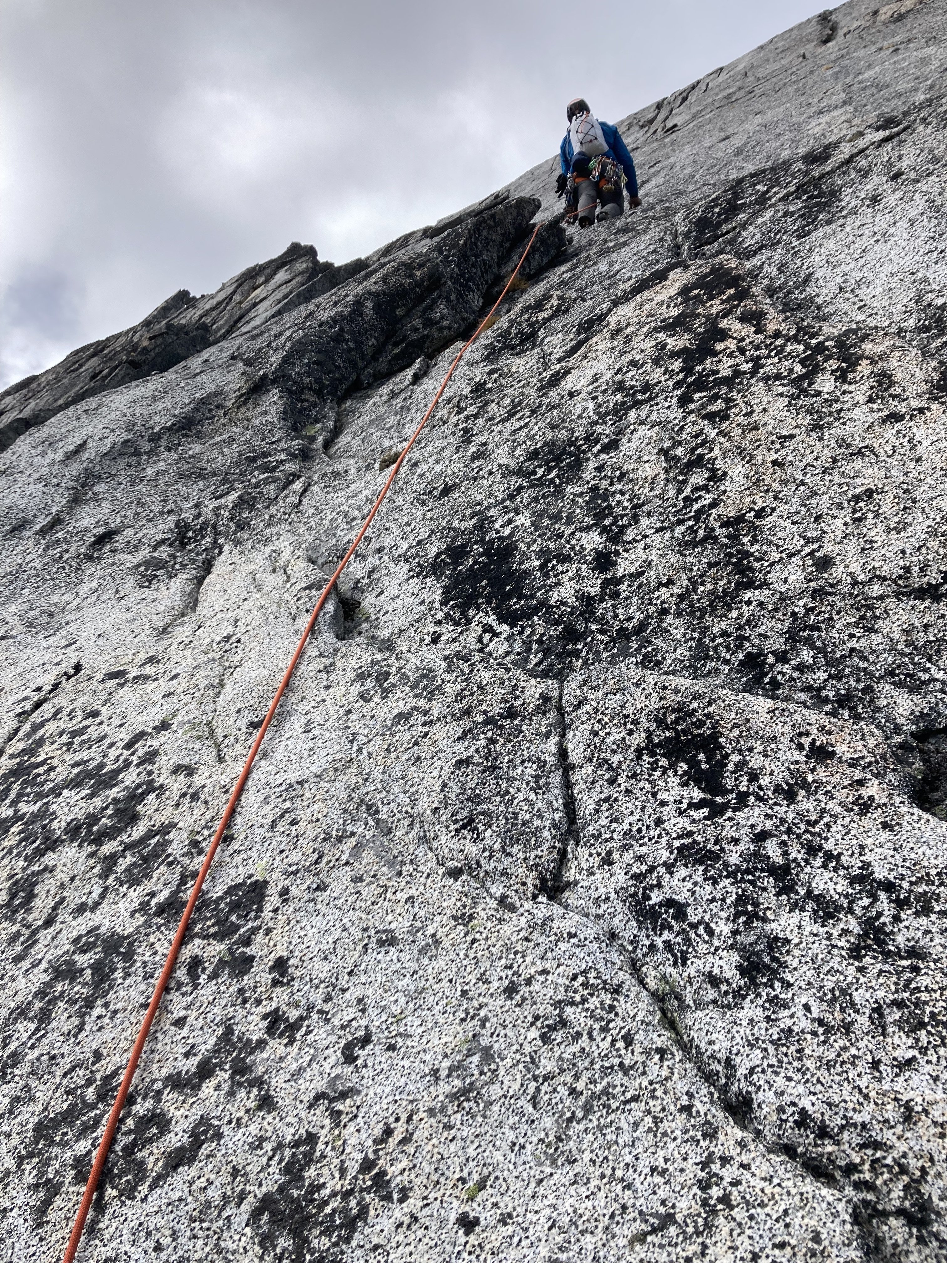
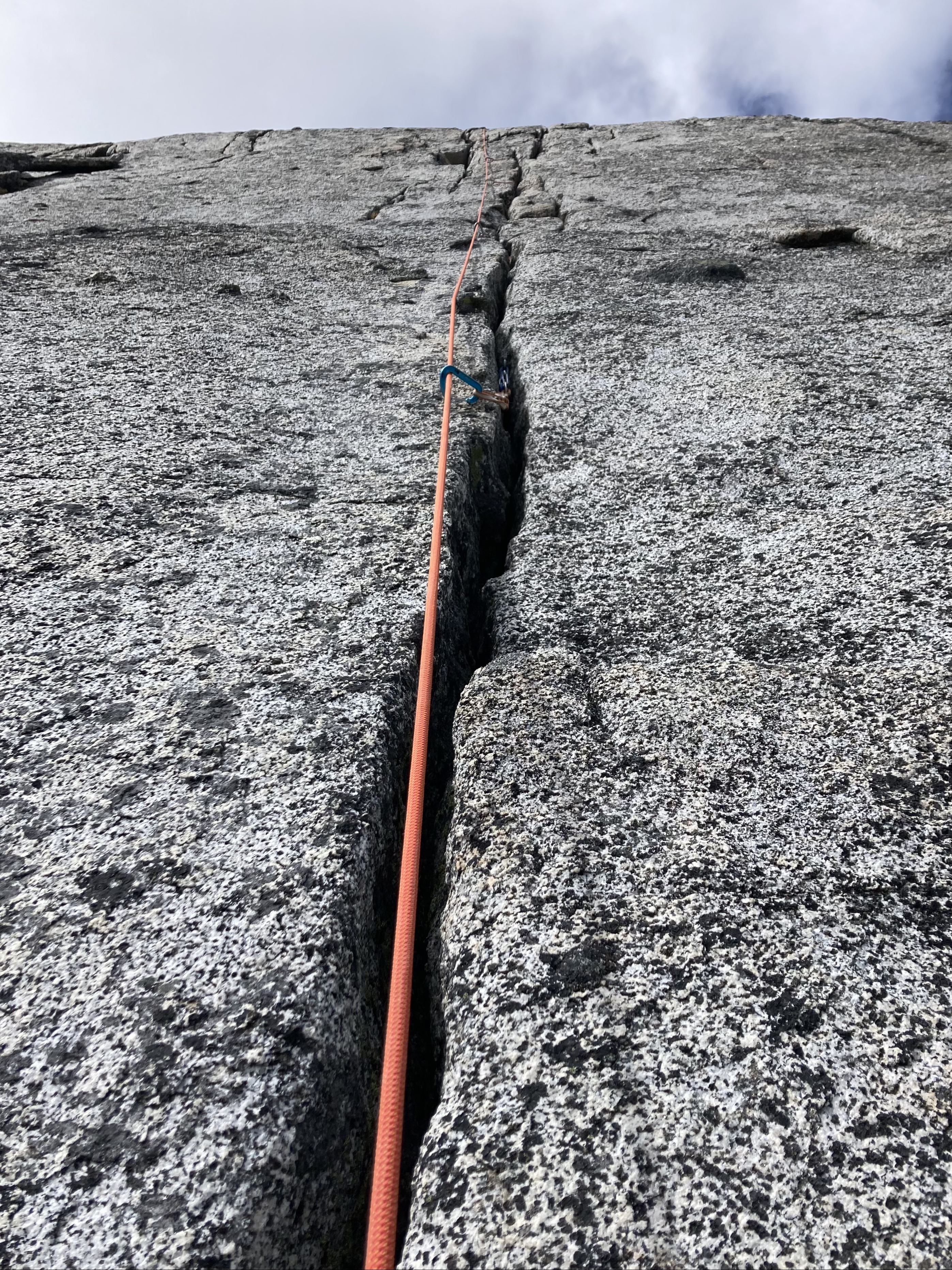
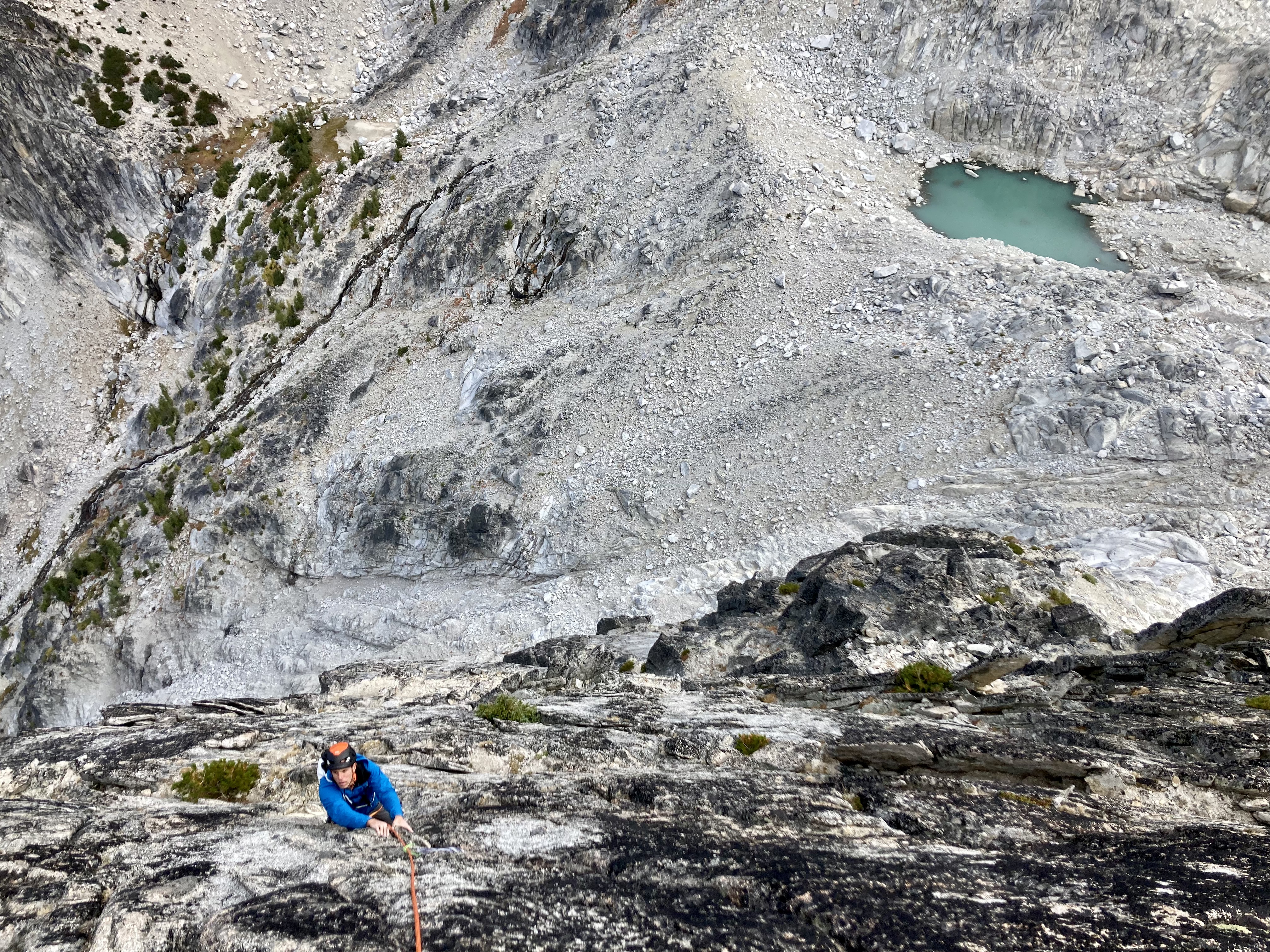
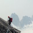
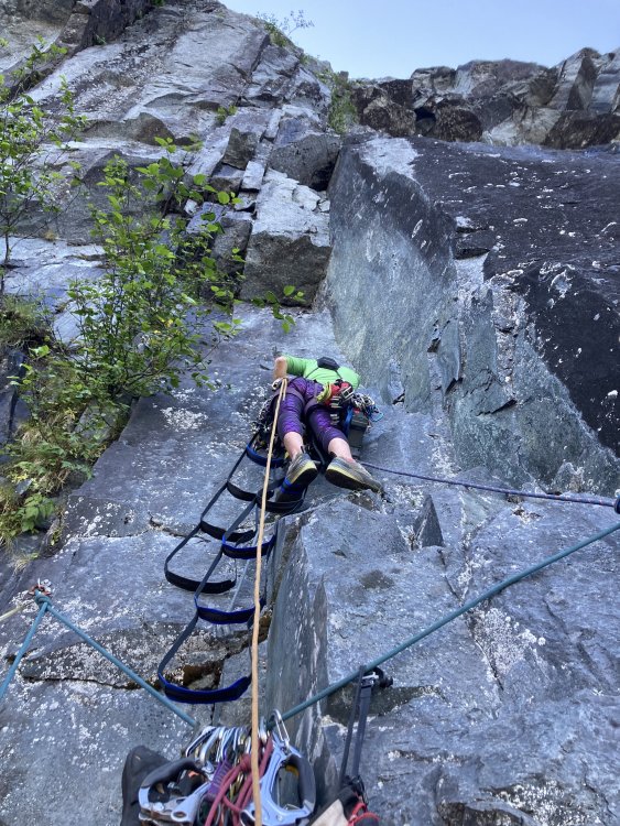
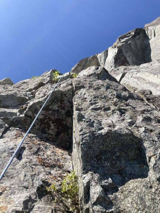
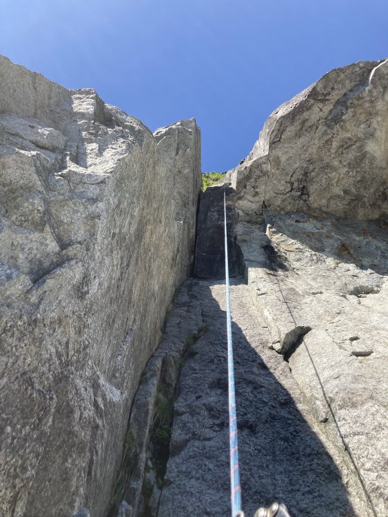
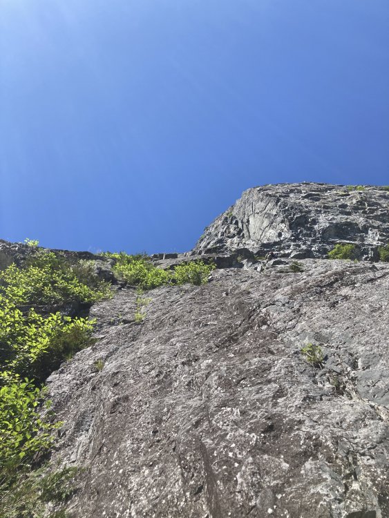
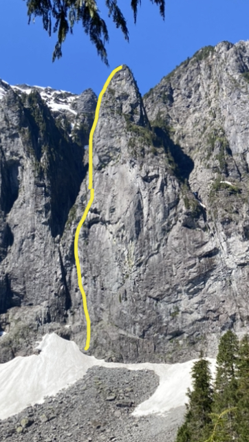
Trip: Northern Pickets - Mt. Challenger Middle Peak & FA of SW Ridge of Challenger 5 (Peak 7,696) Trip Date: 08/18/2021 Trip Report: Northern Pickets, image pulled from publicly accessible Google Book Preview of Cascade Alpine Guide, Vol. 3. The SW Ridge of Peak 7,696 is the righthand skyline. Fair use intended. TL;DR: Climbing partners Joe Manning (manninjo) and Joseph Montange ventured up the wild and rugged Baker River valley in mid-August 2021, seeking a shortcut into the Northern Pickets. After several days of travel, we climbed a very fun, new, five pitch, 750', 5.7 route on the Mount Challenger massif, the Southwest Ridge of Peak 7,696 (aka Challenger 5). Baker River Mandatory wading on day 1 starts several miles upriver Time to go to the beach! It’ll be fun: miles of sandbars and loads of deep blue swimming holes. Wading up the river in tennies. Getting to curl our toes in the sand. Sounds promising as a way to approach the remote and reasonably inaccessible Picket Range. Relaxing, beachy-type vacations are not my norm, so the Baker River seemed like the best of both worlds. Get the summertime water fix AND have an adventure scoping out the “direct” route into the Northern Pickets. The approach, documented in the 1968 Tabor and Crowder guide, has no record of folks actually going all the way in that way in the last 50 years. I’m sure some folks have, only to be swallowed by brush and never seen again. Mike Layton wrote in 2006 that John Roper “thoroughly sandbagged” him and Wayne Wallace on their approach to Spectre Peak by suggesting the Baker River. Following “six hours to travel a mile and a half along the Baker River we bailed. Ahead were three more miles of rain, brush, and swift water followed by a 5000-ft climb to the ridge… after our eight-hour false start, we dragged our soggy asses and 25-lb packs to the Hannegan Pass parking lot to restart the trip.” Pioneer Ridge (center-right) and the confluence of Bald Eagle Creek and Baker River For our part, we wanted to push beyond the Pioneer Ridge version of the Baker River approach and continue up the river, to the confluence of Picket and Mineral Creeks. From here, a spur ascending all the way to the Mt. Challenger massif would provide an escalator into the alpine. In fact, after all the beach time, we’d probably need to burn off some of those beach-induced calories. In all seriousness, there’s really no easy way into the western side of Northern Pickets. For a fit and competent party, stocked with full climbing kit and several days of food, Easy Ridge, Whatcom Pass and Peak, Eiley Wiley, even carrying over Fury all take at least two days. Sometimes fast and light parties get to Perfect Pass in a day for a two-night blitz of Mt. Challenger. But if you want to do something on the west side of Spectre, Phantom, Ghost, Crooked Thumb, anything on the south side of Challenger, it's two days just to get there (and two more to hike out). It was with this knowledge that we set off up the Baker River, hoping to find the equivalent of the Northwest Passage into the Northern Pickets. While we may not have found quite that, we did get to spend several days in one of the most rugged, wild, untrammeled and primeval wilderness areas this side of Alaska. The fact that access started less than a 90-minute drive from home was remarkable. The sheer quantity and apparent quality of the granite cliffs spilling off the sides of Pioneer and Mineral Ridges is mind boggling. It’s a beautiful looking mix of Index town walls, Squamish, Darrington, Yosemite, name any notable granite bigwall area. Were it not for a lack of trails and fixed anchor ban in the park, this zone would be a serious destination. As it exists today, it's worth admiring the incredible views every step of the way in. Just don’t forget to watch your step along the way. For folks who find off-trail travel “not so bad,” the stats are compelling. It's less than half the distance of any other way into the range, and less than half the elevation gain. There is no penalizing elevation loss. The approach lacks the objective hazards (e.g. icefall traversing around Whatcom Peak) and subjective hazards (e.g. exposed, loose scrambling over Whatcom or across the Imperfect Impasse) one would find coming in from other directions. The Baker River is a late season approach - the river needs to be low enough to regularly ford and wade. Most of the river walking we did was shin to knee deep. A pair of low top mesh approach shoes worked perfectly to hike in and out of the river. We got waist deep in the river once or twice, though that may have been avoidable. Make sure you line your pack with a garbage bag or other waterproofing. Sections of mandatory bushwhacking punctuate the river walking There is unavoidable brush, including some that registers as “BW5” on the Cascade Brush and Bushwhack scale. As with most off-trail approaches, the bushwhacking was far worse going in than coming out. Only a handful of times did patience grow thin and tempers flare due to frustrating travel conditions. Another dead end in the brush led Joseph to remark that “it wouldn’t be an adventure if there were no doubts.” At this point, with the hour growing late on the first day, we were having some serious doubts about the viability of the approach. After a breather and channeling the power of positive thinking, we made it through the worst of the brush and found ourselves a mossy camp in open forest next to a brook and several large boulders. With full packs loaded for climbing out of a base camp, it took about the same amount of time to go in this way compared to past experience with the more-frequently documented approaches. The crux of the approach, encountered on day two for us, was the wooded spur above the confluence of Mineral Creek/Baker River and Picket Creek. The wooded spur with approximate line and color showing slope angle It starts out innocuously enough. Low angle, brush-free walking past ancient cedars the size of skyscrapers, some well over 15 feet in diameter, soon gives way to steeper and steeper hillside. In what could be the toughest 2,000 feet of elevation gain anywhere, you’ll fight insanely thick brush, mostly saplings and huckleberries, all at a gradient of over 30 degrees, while dodging cliffs including a significant band at about 4,000 feet elevation. Helmets and dirt-ponning may feel necessary to descend safely. Steep huckleberry Typical brush thickness on the wooded spur Several cliff bands are hidden in the brush of the wooded spur Perhaps the effort overall is greater going off trail, though that is going to vary individual to individual. Climbers with their brushmaster degrees, good route finding skills and smaller, lighter packs could conceivably make it to the Challenger 4/5 col or Phantom alp slope camp (or pretty close) in a single big day via Baker River. We broke out of treeline on the afternoon of our second day, hiking into a thickening misty fog. Wonderful camping exists there on grass patches among the heather fields next to perfect 250 gallon tarns. Bring a water filter for the tarn water. Camping on a natural grass tent pad next to water around 4,900 ft Our third day, we woke up to driving rain - not the forecast we hiked in with. It broke into a light drizzle by midmorning and up the alp slope ridge we went, reconning for a higher camp. By midday, an updated forecast gave us a limited window to climb the next day only, August 18th. Chance of showers returned the afternoon of the following day, August 19th. Being well provisioned for several days of rock climbing, the change in weather was disappointing but we’d have to make due. Resigned to the revised forecast; Mineral Mt. in background As I’ve learned in the Pickets, 20 or 30% chance of showers is pretty much 100% chance of rain and low-to-no visibility. We ended up moving camp on day three just a half mile further up the ridge, to a larger patch of grass with an even deeper little tarn and mystifying views of Whatcom Peak, Mineral, Shuksan, Baker/Kulshan and numerous other mountains. We elected to leave base camp there on the ridge around 5,200 ft and go light above. Camp 2 on the ridge, Whatcom Peak in the mist and Perfect Pass at center right We had big (for us) ambitions for our week, yet somehow even the best-laid plans seemed to get waylaid by weather and slowed down by river crossings, vine maple, cliffs, huckleberry, and route finding. Southwest Ridge of Challenger 5 (Peak 7,696), 5.7, 5 Pitches, 750’, Grade II Rock climbing can be just plain Type I fun. You’re outside, with good company, in good weather, using your brain and body to briefly overcome gravity, dancing with the minerals, having a jolly ‘ol time. For whatever reason, granite especially lends itself to this kind of climbing. Joseph contemplating existence on the summit of Mt. Challenger's Middle Peak After scrambling Mt. Challenger’s Middle Peak on day four, Wednesday morning, August 18th, and considering different options for more climbing, we circled back to the south face of Challenger 5 to scope out some pretty neat looking rock. The granite was white to dark with a golden burnt orange in places, peppered with blocks, flakes, and large chicken heads. Fun scrambling to contour back west under Challenger 5's south face Anywhere else these cliffs would be stacked with moderate trad lines. We contoured all the way around the south face until there was nowhere left to go. The southwest ridge dropped off down the imposing west face. Above, a distinct ridgeline ambled up towards the summit. Belay at start of route The route started from a broad, jumbled, and blocky ledge system roughly where the seasonal snow line of the SW ridge ends and the more black, lichen-stained rock begins. If you were hiking directly up the ridge from below, it might be possible to add another pitch for fun, but we cast off from the highest “scramble accessible” point. Climbing on pitch 1 The first pitch went up slabs, followed by a left-facing corner with a laughably fun 5.6 hand crack. Above the corner, a good stance on a ledge set up a short finger crack to another ledge. The rock was exceptionally solid and remarkably splitter, with bomber gear exactly where you might want it. Topping out pitch 1 Starting pitch 2; camp, approach ridge, and Baker River all lower left The climbing went for four more pitches like this, ledgy yet exposed ridge climbing punctuated by fun crack segments. Every roughly 40 - 45m pitch ended at a spacious belay ledge with a slingable horn or solid crack for gear. Views and position on the peak were something to behold. Climbing on pitch 2 Pitch four was the standout, with an improbable and slightly intimidating step right onto the exposed face after a short offwidth pillar. A horizontal traverse with a few hundred feet of exposure led to a straight up crack system culminating in another perfect hand crack, which started at red camalot and ended with a good little stretch of near-vertical number 3 jamming. A final mantel ended on a flat ledge big enough to park a bus on. Awesome exposure and jamming on pitch 4 Huge belay ledge at top of pitch 4 The final 60m pitch cut hard left, off the ridge and onto the west face via an unmissable ledge system. A blocky and slightly loose gully led directly to the summit, with the headwaters of the Baker River 4,000 feet below nipping at our heels and Shuksan and Kulshan swirling in the clouds to the west. Final climbing to the summit As soon as it came in, our weather window was on the way out. Within 15 minutes of arriving on top we were getting engulfed in the mist. We’d left our axes and crampons at the base of the route, and not knowing there was a scramble route off the peak, we elected to rap the south face from the summit and contour back to our gear. In hindsight, had we carried glacier travel gear, we could have descended to the north and potentially gotten back on the glacier, climbed back up to the col, and returned that way. In any case, two raps with two ropes got us off the steep terrain. We retrieved our gear from the base and headed back down the ridge to our 5,200 ft camp, arriving just in time for an incredible sunset as the clouds broke once again. A view of our route from the approach ridge Descending on the approach ridge Back at camp Deproach With the chance of showers in the forecast, we felt good about two summits, a new route, and three nights camped out on an incredible ridge. Now all that was left to do was to reverse miles of steep, trailless wilderness back to civilization. 40 degree huckleberries on the descent Finding the "secret passage" through a major cliff band; we were prepared to rappel, yet managed to avoid it on the way down We camped at the beach for our final evening, near the confluence of Bald Eagle Creek and the Baker River. There was enough sand to walk around barefoot and relax, taking in views of Scramble Creek falls and the North Ridge of Mt. Blum. Surprisingly, someone had camped there in the days we were up high and had left a fire pit, complete with charred logs. One might think the novelty of wading down a river would wear off by the last day of the trip, but surprisingly it didn’t. Out the way out, we knocked over a handful of cairns we made for ourselves on the way in. The only other sign of people we saw was the fire scar and some fishing line at the final campsite, which we packed out. It'd be great to keep it that way for the future. My opinion is this approach is destined to remain in obscurity when “easier” approaches exist, but it is a truly direct and viable way in to the Pickets. Having the right attitude about brush would help immensely. Walking in the river beat the heck out of the alternative Take only pictures, leave only footprints In the days since, I’ve been dreaming about the walls back there, packrafting part of the deproach, scheming about another trip back into the wilderness of the great nearby. It’s adventures like these that, for me, climbing in the Cascades are all about. Many thanks to Joseph for the great company, partnership, use of photos, and willingness to try something different. Gear Notes: Extra shoes for wading, rock climbing gear to #3 camalot, crampons/ice axe for glacier travel Approach Notes: Starts from the Baker River Trailhead. See Tabor and Crowder's "Routes and Rocks in the Mt. Challenger Quadrangle" and Beckey's "Cascade Alpine Guide, Vol. 3" for more approach details.1 point
-
Trip: Dragontail Peak, NE Towers - This, My Friend Trip Date: 09/12/2021 Trip Report: Yesterday Kat and I climbed "This, My Friend" on the east aspect of Dragontail Peak. The route is only a year old at this point and is getting alot of attention, for good reason. Hats off to the FA party for the vision and the work cleaning this thing up. Its five pitches and all but a short connector pitch are 55m of clean, fun climbing. We got moving at the trailhead around 5am Sunday morning and reached the base of the route around 8am. I lead the first pitch which is also the crux of the route. The general consensus of this pitch so far is that its 5.10-. It starts with really easy climbing then heads straight up a shallow, flaring thin hands and ring lock crack followed by slightly easier terrain. Pro is tricky on this pitch, but I found three bomber #1 placements. From there Kat lead pitch 2, THE money pitch and an absolute gem. A full rope length of 5.9 awesome finger locks and perfect hands. Stupid good. After that, Kat lead the 5.meh connector pitch to the base of the headwall so I too could have a money pitch. Thanks again Kat. Pitch 4 goes up a clean headwall split by a 5.7 varying crack, mostly hands. Awesome jams peppered with knobs all around it. Pitch 5 is wandery 5.7 crack and face climbing to the summit of the East Pinnacle. From there we followed the descent description trending southwest down ramps and ledges to the Dragontail trail. We found a way that stayed in 3rd or 4th class terrain with only one spicy no falls allowed section. I built some cairns along the way. Its a quick hike back to the base following the Dragontail southside trail to Asgard. We got back to the base around 2pm. We both climbed with little packs to carry our shoes, puffies, and a little water. That all could fit on your harness if you want but I liked my harness being a bit less crowded. None of the climbing felt cumbersome with a small pack. The hike out went just fine and got back to the car around 5:30pm. This is an awesome route that will no doubt become a crowded classic due to the quality moderate climbing. Me starting the first pitch. it veers left from here: Part way through the first pitch: Kat on the 2nd pitch: Me starting up the pitch 4 headwall. Kat photo of the headwall cracks: Kat coming up the final moves of the Pitch 4 headwall: Last Pitch: Me coming up the last pitch: Coming down the steepest part of the descent: Gear Notes: 60m rope. At least a double rack of cams .2-2 and one #3. Metolius 00-1 proved quite useful too. With this route triples of certain sizes would not go unused. We had triples of .4-2, which we thought was just a bit overkill. If doing it again I'd bring triples of .75-2 instead. Selection of small to medium stoppers. 10 alpine draws and 2 double length slings. Seasonally dependent snow gear. Approach Notes: Colchuck Lake to Asgard pass. Cut over headed west on scree and talus at approximately 7300-7400'.1 point
-
@Trent everything is training for South Hozo!!1 point
-
Wow! Nice tick! That rock looks really good. Training for S. Hozo?1 point
-
This will be an invaluable resource for future parties! Nice job finding the better approach and 4th class bypass!1 point
-
Trip: Mclellan Peak - NE Couloir Trip Date: 05/02/2021 Trip Report: My friend Matt and I climbed the NE Couloir of Mclellan earlier this month. I've been intrigued by it since seeing an old Jens Holsten blog post a couple years ago and not being able to find anything else about it otherwise. Theres a brief mention of a route on Mclellan in the WA ice guidebook. I waffled about writing this up because I think the Stuart Range doesn't have a lot of options for solitude. I'm sure people will still flock to the usual spring classics. I settled on doing a more lazy, bare bones style trip report on this to shed some light. Social media is your best friend for seeing conditions of popular faces in the range. The route is fairly short. Similar in length and difficulty to the NW Couloir of Eldorado. Its likely to be easier early season (duh), but it seems likely to have large cornices at the snowfield/ridge at the top out. Theres two exit options, the left (hidden, except maybe from the northwest) being shorter and slightly easier. This gives a bit of contingency with route and cornice conditions. In the conditions we had I'd say it was WI3. First two pitches, taken later in the morning on the decent back to camp: Matt coming up firm snow after the first ice pitch: Second pitch: Early April 2017. The first ice pitch is completely buried: Gear Notes: Pins, screws, rock pro to 1". Emphasis on small gear. Pickets if you'd like, we didn't take any. Approach Notes: Snow Lakes. Leave the trail at the western-most footbridge above Upper Snow Lake. Decend via the standard route.1 point
-
Trip: The Mighty Tooth - Regular Trip Date: 01/17/2021 Trip Report: Took a spin up The Mighty w/ a lad from work for his first mixed climb. Mixed as in slush and rock, with just a hint of ice. Oh man, if it gets cold before it dumps again... Gear Notes: Tricams Approach Notes: Separate cars, slowshoes1 point
-
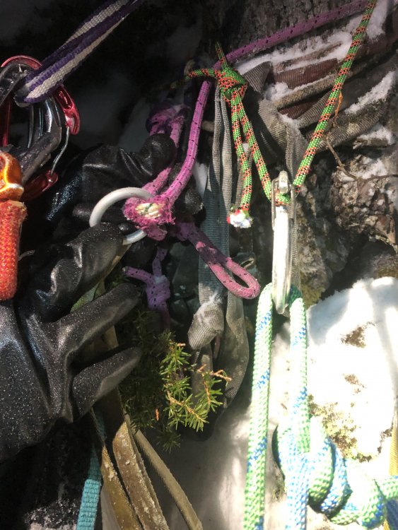
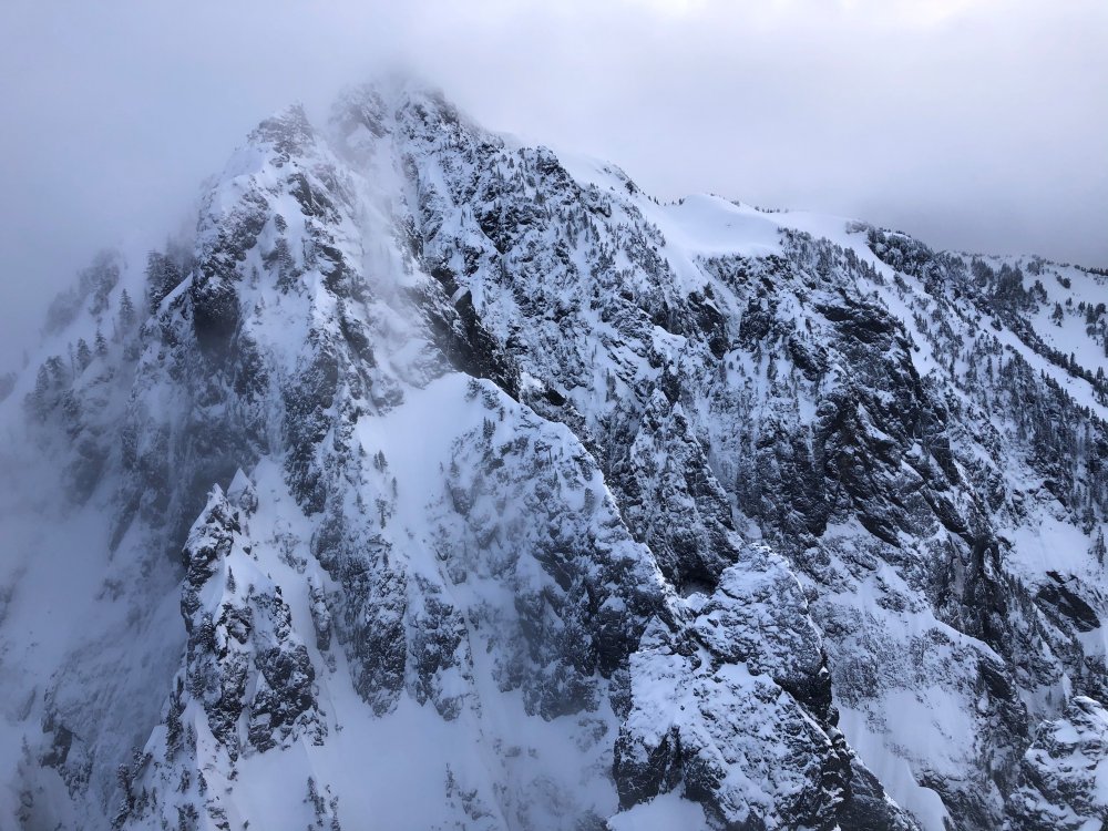
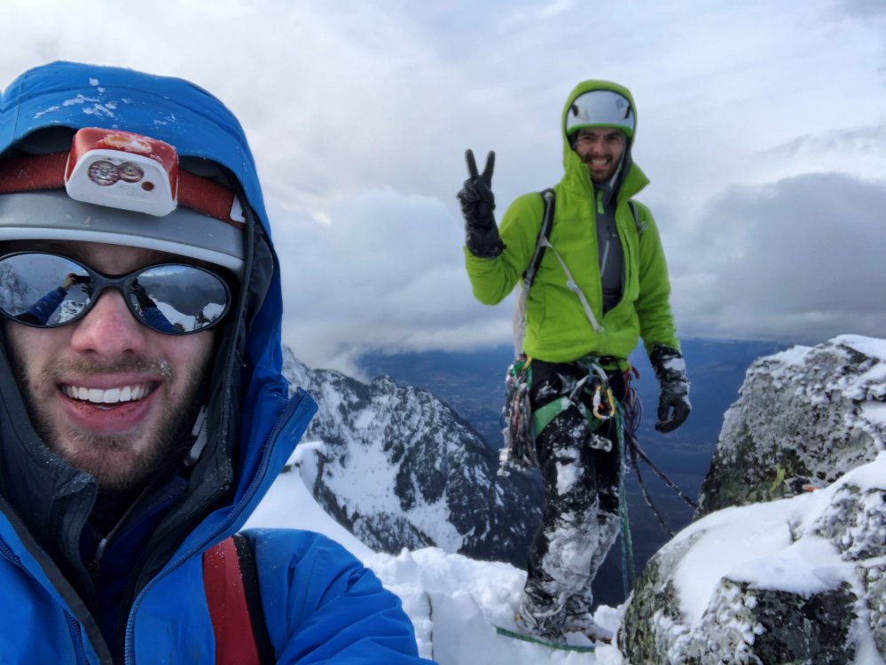
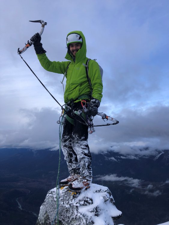
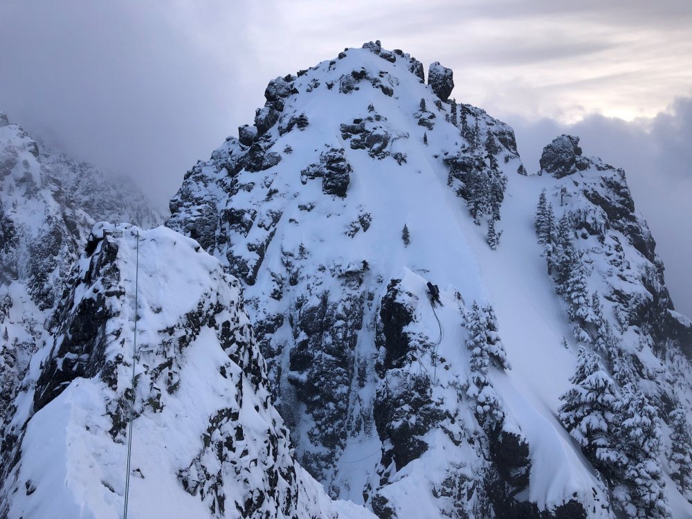
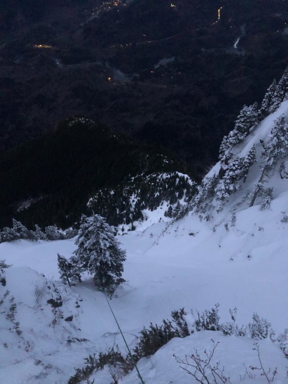
Trip: Mount Index, North Peak - North Face Trip Date: 01/29/2021 Trip Report: @Michael Telstad and I have a wonderful climbing partnership. He sniffs out all the beta and nails down logistics, while I tell bad jokes and ensure the ropes get hopelessly tangled at least once on-route. When I heard about his FA on Chair and adventures in Mazama with @Doug_Hutchinson, in the throes of FOMO and inspired by Doug and Mik's report of 'cruiser alpine conditions', I sent him a text on Tuesday asking if he wanted to climb the North Face of North Index. Between the Scylla of the work-week and the Charybdis of storms for the next month, we decided on Friday as our best and only shot at the beast. Fortunately Doug was stuck with Michael on the long winter drive from Mazama to Seattle, so there was plenty of time to shake him down for beta. There is not too much information about the route out there, so Doug’s info was invaluable. (Another useful source is Jim Nelson’s Selected Climbs in the Cascades, Vol. 1) We decided to meet in the parking lot at 2:45am on Friday. After a few hours of fitful rest I rolled into the Lake Serene parking lot my traditional 15 minutes late at 3:00am (Michael was 10 minutes early). We exchanged groggy greetings and set off by moon and head light. Easy trail hiking in approach shoes to the north end of the lake led to the base of a slide path and some tedious steep snow climbing to the saddle of the northeast rib. (We changed into boots at the end of the trail before stepping onto the lake, and put on crampons partway up the snowfield) Some unexpected light snow gave us pause but we decided to climb until it became problematic. I set off on the first lead, simul-climbing ~3 pitches mainly steep snow with sparse slung trees, with a few short mixed steps protected by cams and nuts. I tried placing ice screws in aerated flows while extremely runout on steep snow, but they were just too marginal to bother. Runout snowfields for the first ~2 pitches took me to a left-leaning gully. At the top of the gully I looked down and gulped at the sheer exposure below me to the east. Wild. A moderate and short but annoyingly snow-covered mixed step took me to the slung blocks marking the ‘hidden ledge’ traverse. (It’s not very well-hidden if you’re looking for it.) I belayed Michael up from here since I would’ve liked a belay on the mixed step below and I believe in the golden rule. At this point I made the inconceivably foolish decision to try scooping up the stacked double ropes and walking them across the hidden ledge. I made it about 15 feet before realizing the error of my ways and setting up an intermediate anchor. Fortunately it only took 15 minutes of cursing and thrashing to untangle the ropes. Michael then belayed me on a short, fun, and confusing simul block through a slide alder grove. I followed my nose through a steep groove of alders to a lower-angle mixed ramp. I wandered around trying to find an easy way up, but eventually gave up and belayed Michael to the top of the alder grove. He decided to down-climb to search for a lower continuation of the traverse, but found only improbable cliffs. He climbed back up and cruised the mixed ramp around whose bushes I’d beaten earlier. We simuled over the ramp and up the awesome snowbowl pitch to an obvious large tree. From here we simuled up ~2 pitches of very fun AI3- (mediocre screws, great sticks) to yet another grove of trees at the base of yet another snowfield. I led a short snowfield to the base of the crux mixed pitches. Michael led us up two cruxy snow-covered mixed pitches, first a narrow ridge-traverse and then a funky slab to a short steep corner protected by a fixed piton. The climbing wasn’t so hard, but it felt tres insecure and poorly protected. I took over the lead and we simuled across a wild knife-edge ridge, up a snowfield, over and around several false summits (with some tricky mixed steps and brutal rope-drag), and finally to the base of the true summit. (From a distance I thought it was the Middle Peak of Index. ) Michael took us to the top, and we mustered the happiest faces we could for some summit pics. As we prepared to descend, a raven floated next to us cawing a blessing. I felt glad then, that the spirit of the mountain was with us. We thanked the raven and began the slog down. Michael led us back to the base of the summit ridge snowfield, and we followed Doug and Mik’s rappel stations for a seemingly interminable, mind-numbing descent. We finally reached a snowfield at the base of the north face. We unroped and contoured around to the base of the route. Unfortunately they added about 3 miles to the Lake Serene trail while we were on the mountain, so the hike out was a bit more tedious than expected. We finally arrived back to our cars alone in the parking lot at 11pm, just as we’d left them 20 hours and many lifetimes before. I grilled up a couple celebratory beyond burgers and we drove off into the night, grateful and dead exhausted. Many, many thanks to Doug and Mik for all the beta, and for setting up so many rap stations! This route is highly condition dependent. This winter and weather window has yielded easy snow climbing, thin and poorly protected but easily climbed gully ice, and snowy but manageable mixed climbing. I think significant time would be saved on the mixed pitches if there were no snow. Suitors should be prepared for sporting runouts on steep snow, tenuous mixed climbing, and a tricky descent after a long physically and mentally tiring day. Descent: Reverse climb along summit ridge to trees at base of the snowfield which leads up to summit ridge, i.e. just after the knife-edge ‘last pitch’ of the climb. Make 4-5 plumb-line rappels (60m double-rope) to large trees atop snow-bowl pitch. Rappel trending east (climber’s left) to small trees near base of snow-bowl. Continue for 5-6 raps along this slightly east trajectory, following shrub and block rap stations to base of the north face. Some of these are rope-stretchers with 60m ropes, 70m would help a lot. Once down contour easy but exposed snowfields to the east until reaching the saddle where the route begins. We mostly used Doug's webbing and carabiner stations, but added green tech cord to the station at the top of the snowbowl. Cut all the other tat there but unfortunately couldn't extract it from the ice. (it was late and we wanted to move fast) Lecture time: Knot both your ropes (and untie one end before you pull the other). Double-check your tether and rap setup every time before you commit your life to them. Pics: Setting sail, snowflakes like shooting stars Michael just after the first cruxy mixed step, taken from the hidden ledge blocks moments before the sun rose The sun also rises Michael heading up the gully at the top of the snowbowl Michael starting the first mixed ridge pitch with the false summit ahead Looking down at me from above first mixed ridge pitch Michael at the mixed crux Selfie from snowfield before summit ridge with Michael on the knife-edge False summit after false summit Moody Sky from summit Happy to be halfway home Classic pose on summit block (might not be there next year, the summit ridge seems to be mainly loose blocks glued together by ice) Index Traverse looking intimidating and appetizing Reversing the summit ridge traverse Possibly the worst rap anchor, but not by much Arriving at the large tree atop the snowbowl as headlights trace out Highway 2 below The result of bounce-testing the rap anchor at the large tree Rope stretcher with 60m ropes Dave Summers got a photo of our headlamps on the descent Gear Notes: Ropes: 2x 60m 7.5mm half/twins (70M recommended) Slings: 15 singles, 4 doubles, 1 quad. (good amount, but bringing more would allow for longer simul blocks. Had 2 carabiners per single sling and 1 per double and quad) Ice screws: 2x 10cm, 2x 13cm, 1x 16cm, (1x 22 for v-threads) (good selection, even though some placements were marginal due to conditions) Cams: single rack .1-2 (perfect, every cam was useful but didn't want any bigger) Nuts: About a dozen from small to large (didn't use too often but glad to have) Tricams: Pink and red (clutch) Pitons: selection of 3 small knifeblades, 1 short Lost Arrow, 1 beak (didn't place any, clipped one fixed pin) Cord/webbing: 20 foot 5mm tech cord useful for slinging large blocks. 40+ft of rap tat highly recommended Microtraxions: 2x for simul-climbing insurance Tools: Less aggressive quark style tools (Thanks to Michael's partner Tess for letting me borrow her quarks so I didn't have to haul the nomics up) Crampons: Dual point preferable, lots of snow Emergency gear: Inreach (+cell service most of the way up), lightweight emergency bivy sacks, small isobutane stove, hardwarmers and dry warm socks in case of epic. Climbing tape for in-situ surgery. We didn't bring any pickets and never wanted to place any, but if you desire protection on <60 degree snow you should bring one. Approach Notes: Took the Lake Serene Trail all the way up, skirted around on the NE shore of the frozen lake to the obvious slide path, ascended to saddle, stashed approach packs in small tree grove and racked up. ~1.5 hours car to base1 point
-
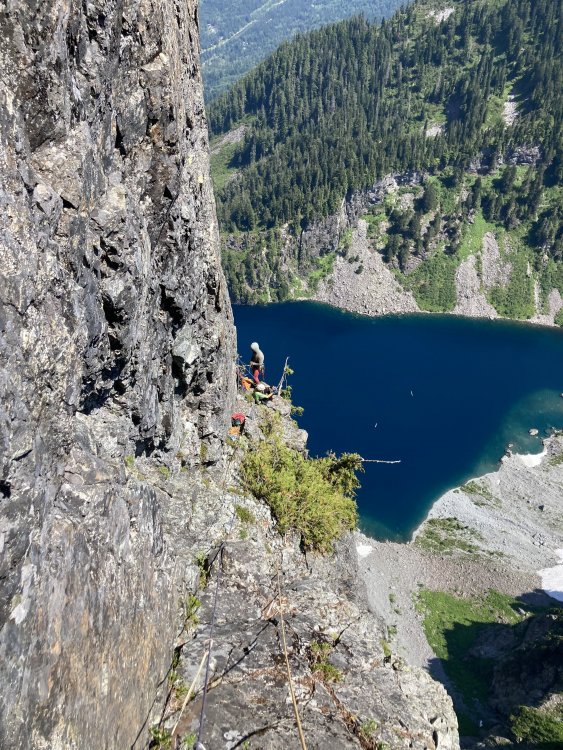
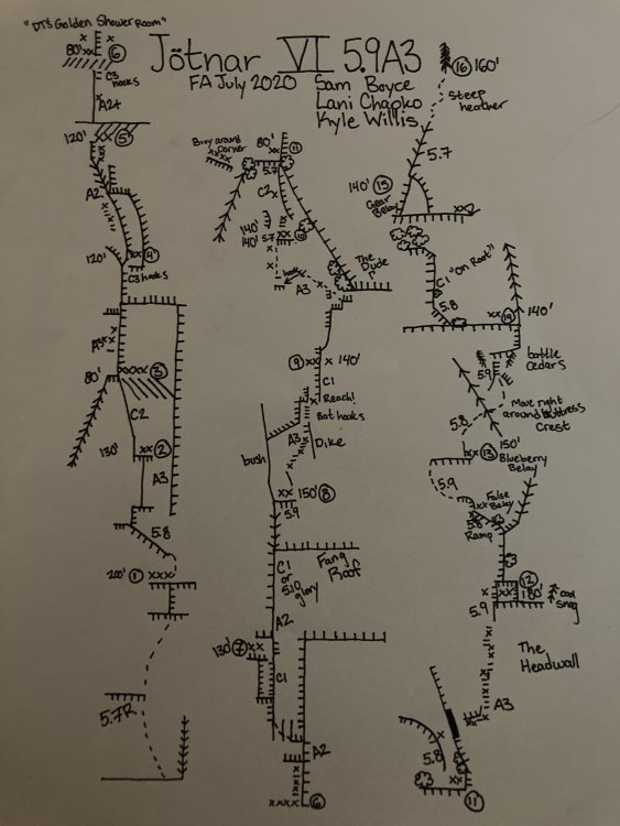
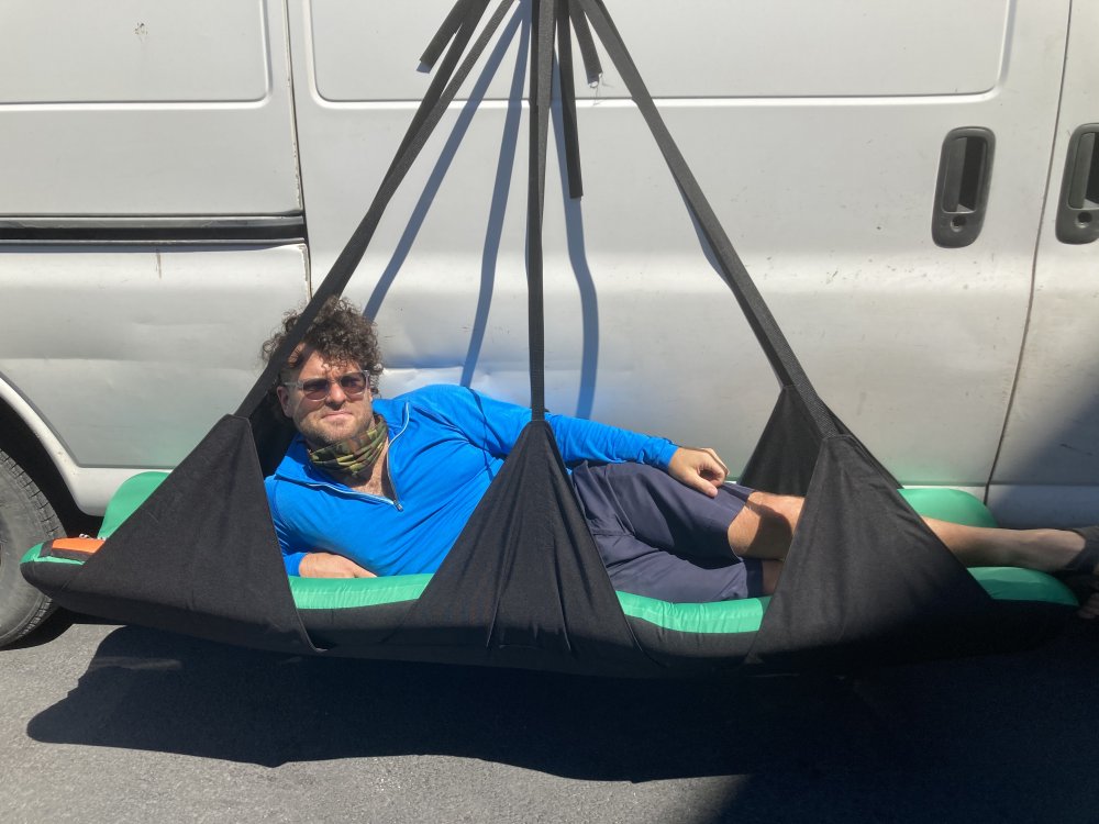
Trip: North Norwegian Buttress - Jötnar VI 5.9 A3 Trip Date: 08/01/2020 Trip Report: Whaddup maggots. The crew of vagrants and miscreants just got down yesterday from north Norwegian round 2. We completed our line to the top of the buttress. We spent 1 day fixing back to the high point then 6 days on the wall climbing in capsule style to complete the route. We are naming the line “Jötnar”, the race of god-like giants in Norse mythology. We unofficially started calling the Norwegian cirque Jötunheim, “the realm of the giants”. While only having one line up there might not give us “authority” to name something, I’m enamored with the zone and like the name, and no one else has to call it that... anywho, here’s a brief report of our experience, hopefully this inspires someone to follow in our footsteps, as it’s an incredible route. In June, we made our first foray onto the wall and found soggy conditions as our route runs through a water streak for a good portion of the lower buttress. Poor weather lead to poor conditions, if you read my previous trip report, you’ll remember we did not get far. In 4 days of climbing we completed about 700’ of the line. We left gear stashed with the intent on returning. Our window of time off about 3 weeks away. Prep for the route started a few days before our departure date. I headed over to kyle’s studio (For his gear business “high mountain gear and repair”) in Ballard to make some various things. One of those being an inflatable big wall hammock that we had been discussing in recent weeks. Kyle would test it out on this wall, likely the secret weapon for big wall alpine routes in the cascades. Kyle came up with the name “Taco” as a mockery of conventional portaledges. After making various things for the wall we set out on our own errands the next day then reconvened to shuttle a load up to lake serene. Fetching water was considerably easier than last time, the moat had opened enough to walk inside, being a whiteout day we decided it was safe enough to brave for 15 min to get water (better than hiking back to the lake!!) After unwrapping our gear stash we discovered a snafflehound gnawed on a rope! The backup lead line nonetheless. Another rope was needed, the volume of rope was becoming absurd. We told Lani to pick one up on her way down from Bellingham. Logistics here got weird. Kyle had commitments in the form of a bike packing trip during the start of the window we had to climb. So when Lani and I started climbing we would have to leave lines fixed to the ground for Kyle to use to join us two days into the climb! On the first day we got a ride to the trailhead early morning and moved with motivation all Day to fix lines the the high point on our route. The line climbed substantially better because of the cleaning we were able to do previously. Fixing high on the wall we descended to the base that evening to sleep on the ground and prep the load to haul. We woke up early again and started the manual labor. Moving faster that expected we were able to haul to the high point and get camp set up around mid afternoon. Plenty of time to start up new terrain. Lani started up the next pitch which would prove the steepest on route. She got about halfway up the pitch before deciding it was time for dinner. On day 3 she headed up the pitch and pulled through the massive steep band that blocked our view of the upper buttress. This would prove to be the only pitch that requires a fixed line for descent. I took over the lead on the next pitch and found cool expanding beak cracks that lead up to a surprise! We pulled into a band of bulletproof skagit gneiss that would run the whole middle part of the route, immaculate stone. I climbed up into a massive right facing corner and up an amazing #2 crack through the second massive roof on the route “the fang” as we had pre named it. Continuing up an easy flare I found a good stance at the base of a large slab. Lani was still feeling mega tired from the steep lead and told me to keep going, I quested upwards on the slab utilizing a mixture of hooks and rivets to reach a dike that proved discouragingly shitty. The dike however led to a good flake that rapidly turned not so good, the whole corner was a Jenga stack. Being on lead I reluctantly bat hooked the face around the choss. These bat hooks could maybe be avoided post cleaning, still chossy and expando in there though. I eventually put a bolt in to reach far and tension to the next small corner, which proved to be cruiser C1 to a good stance for a belay, post dirt removal this would likely be sweet 5.9-10. Here I called off belay while placing the anchor bolts and Lani zipped down to camp to start dinner. Meanwhile Kyle had started up the wall hauling the second half of the load solo, having to haul twice he only got to the bivy at pitch 3 and would camp here. Day 4 started with shenanigans to situate the ropes where they needed to be in order to fix higher. After we were able to snag an independent rope Lani and I again began the commute up the fixed lines to push the line higher while Kyle hailed up to camp. From the high point, Lani led up Inobvious but moderate aid to the crest of “the dude”. The biggest roof on north Norwegian, and an intimidating mega overhang. Incipient and creative low angle A3 led up and left under the roof and around the bushy corner to a small ledge. Reaching this ledge we figured we were far enough up to move camp, and thus Lani went down to assist Kyle in starting to haul while I started soloing the next pitch to the intended next camp. About halfway up my pitch I got a call saying there were technical difficulties at camp, we decided to reestablish camp and fix to the top my pitch. Day 5 would start super early with the big move. Myself and Lani would double counterbalance sky haul the pigs while Kyle cleaned the line below and brought up fixed lines. A few hours of hot manual labor brought us to the high point ledge. A grassy inset which seemed suboptimal for two portaledges, we spotted a good spot left of the buttress crest and concocted a creative plan to swing the bags over. I free climbed up to the top of a flake and put a good bolt in and lowered down (clipping the haul line to the bolt) to the intended spot. I drilled while Kyle and Lani prepped the bags. Once ready I took tight on the haul line with my gri gri and they kicked the bags over top rope style to me where I lowered them in place and docked them at the anchor. Shenanigans. After setting camp up I hugged up to my high point on the pitch and continued my lead. “The head wall” proved to be wicked exposed but I had to fight the features pulling us left into the chossy chasm and drill my way to a stunning corner on the buttress crest. Kyle and Lani came up to join me and Kyle started up the next pitch. Moderate free and aid led up through a tree to a roof. An inobvious ramp cut out left through some chossy bush. Kyle bulldozed his way up eventually running out of patience and drilling around some dangerous choss. Running low on daylight Kyle threw in a belay and called it a day. Day 6 started with a poor decision, only one gallon of water came up the wall... after jugging we were already dehydrated but didn’t think too much of it. We started on the e face and got good afternoon shade but the upper part of the route climbs the crest of the se ridge, and gets blazing sun all day. I got the the high point first and in the spirit of decluttering the tight stance I started free climbing. 50 ft up I hit an awesome ledge too good to pass up, so I added an anchor and moved the team up. Kyle in the mean time cleaned the previous bit to a state of being semi pleasant climbing!! At this belay our peril became evident, we were already spiraling into gnarly dehydration. Kyle was getting loopy, Lani unstoked, and myself crankerous. I would continue up with inobvious route finding. A long circuitous pitch of steep 5.9 led to another good albeit sun exposed ledge. We were closing on the summit, Lani encouraged me to keep leading while Kyle cleaned the route. A blueberry filled corner provided passage to the next tier, a pitch likened to the tree climbing on j berg!! One more mega ledge and we could smell it! A casual pitch of 5.7 led up to a short bit of heather clawing onto the summit of the buttress. We had read that it was easy climbing to the summit of middle index from here and it looked so. It also looked like a bunch of cascadian bush mank that seemed like it would taint our experience in our state of dehydrated madness. We descended to camp to smoke the joint we found in the parking lot and contemplate our descent. One or two puffs in I had this idea to lower Kyle with the bags down the whole face. We all became (mostly) convinced it would work and put wheels in the motion the next day. After wranglin the bags back to fall line we descended two pitches to the intended “drop zone”. We delicately stacked 1000’ of rope joined with edk’s, we would would bump em all through a munter. Kyle and the bags were probably closing on 400 lbs, we needed a gri and munter to control the load. The lower went smooth, and we were amazed! Bags were down!!!! So myself and Lani dropped all but two ropes down the face and Kyle started managing the clusterfuck. Our new friend River had responded to a Facebook call for porter help and met Kyle at the lake to take down 50-60 lbs of our load while me and Lani rapped the face and cleaned our gear. We touched down not too long after and started the soul crushing hike down, we had about 70-80 lbs a piece. I had called my parents again as it seems like all our friends are busy this time of year, they met us at the parking lot with a cooler of cold bubbly, fucking great climb. Shoutout to Lani for stoke, Kyle for his undying willingness to suffer and commitment to the manual labor and route creation, and River! For being willing to come up and help total strangers hump our stinky clusterfuck around. This route was certainly the effort of a village, and a wonderful big wall line that I hope people enjoy. Gear Notes: Double Rack micro to #4, Single 5, Single set of offset nuts (didn’t use rp’s), 4-5 each beaks, 2 small lost arrows, 10 rivet hangers. All bolts and rivets are stainless, one or two bolts didn’t take well in the wet mud, but could potentially be reset with a funk and tightented (all anchors have at least 2 good bolts). Some may need to be tightened up again after initial loading. No ledges big enough even for 1 to sleep, good portaledges camps at the top of pitch 3,6,9, and 12. Do not haul above 12. Bivies at 3,6, and side of 11 take 2 ledges well. Rap the route, some directionals need to be placed on a handful of pitches to get down, pitch 7 needs to remain fixed with an extra 35-40M rope (it could be possible to down aid the roof on rappel to get back to the previous anchor) Approach Notes: Scamper to Lake Serene while the tourons ask about your “paraglide” or “boats”. Easy talus walking to near the waterfall between the buttresses. Enjoy your stay in Jötunheim!1 point


