Leaderboard
Popular Content
Showing content with the highest reputation on 07/17/18 in all areas
-
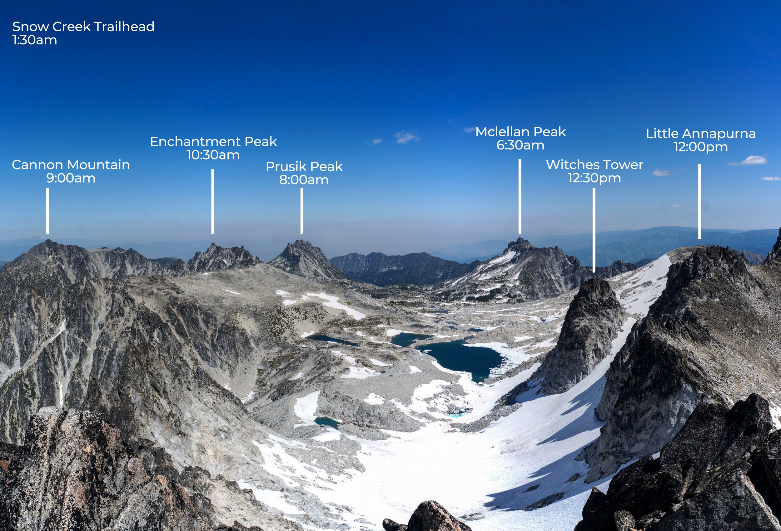
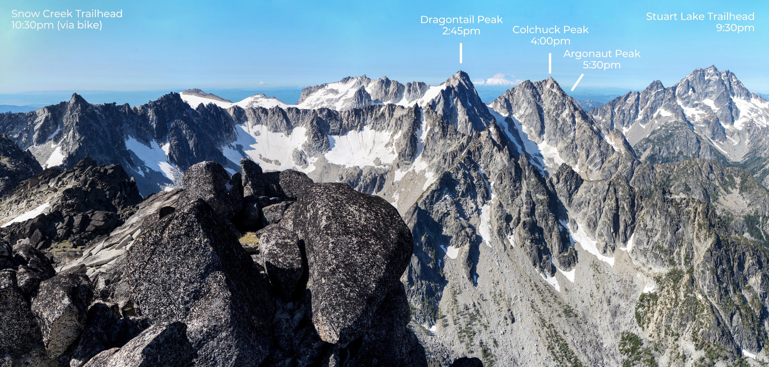
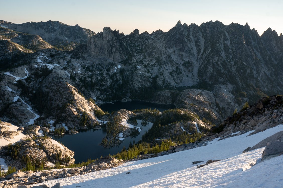
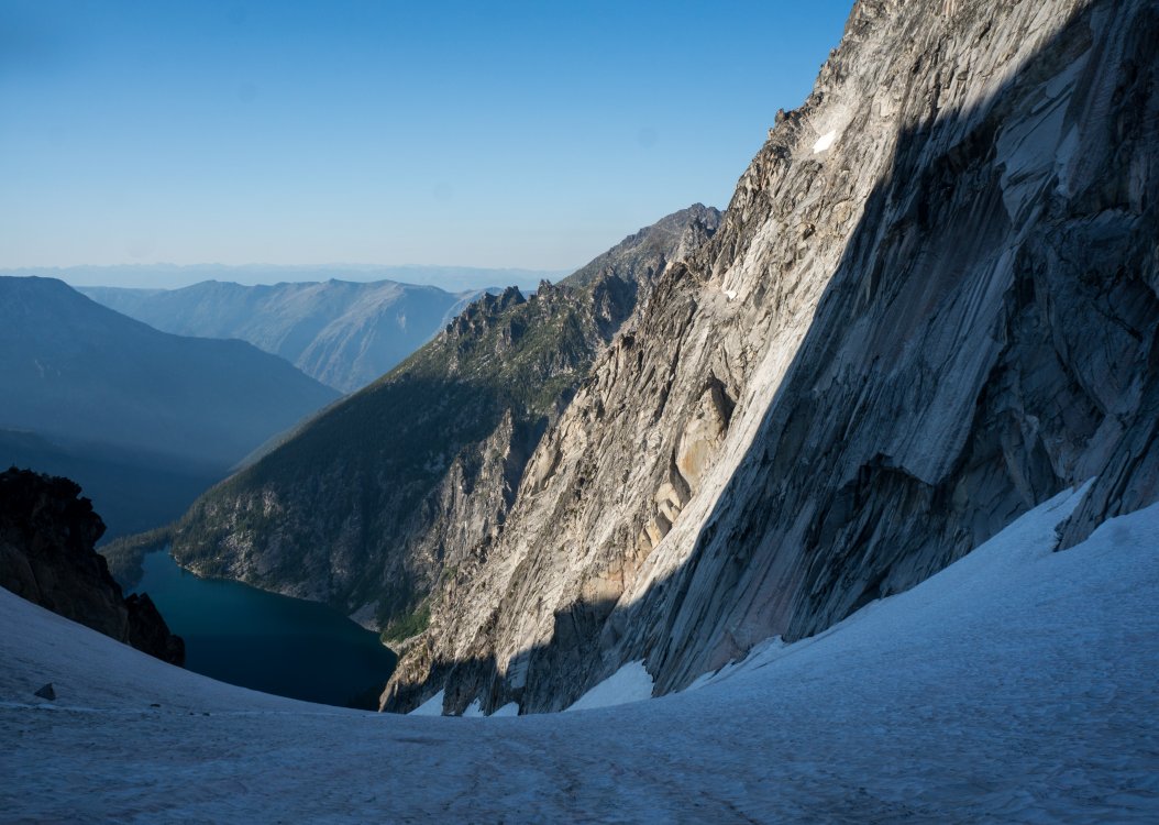
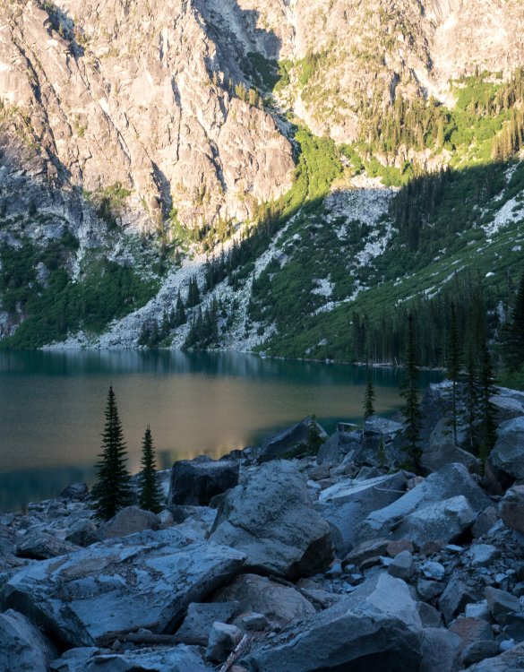
Trip: Enchantments - 7 Bulgers in a day Trip Date: 07/14/2018 Trip Report: Since moving to Seattle last September I haven't yet visited the Enchantments (except N Ridge Stuart), and I had just one day off this past weekend so I figured I should whip up something unreasonable. My initial plan was to thru-hike the Enchantments and tick the more accessible peaks (Mclellan, Prusik, Enchantment, Little Anna, Dragontail, Colchuck). But as things often go, one friend insisted I scamper on over to Cannon Mountain, and another friend posted a cool TR from Argonaut... I like hiking uphill and biking downhill, so starting at Snow Creek and ending at Stuart Lake was the obvious choice of direction. I stashed my road bike (I should really get a MTB) at the Stuart trailhead and started from snow Creek at 1:30am. The goal was to get up near Mclellan by sunrise, but I was a little late. Here's a GPX track of my trip: And here's a timeline of the peaks: It would seem silly to go through route conditions/beta on these uber-popular peaks. But I had an incredible time with this little challenge and am really curious what other similar or even bigger trips have been done. Some notes: - All in all: 31 miles, 16,800 ft gain, 20.5 hours - Averaged 1 bulger every 2.9 hours. I feel like this is a pretty difficult rate to attain even with a single mountain, what's the fastest bulger out there (c2c)? - I brought axe/crampons and only used them on the descent down Colchuck glacier (and they were much much needed on a section of bare ice). - West Ridge of Prusik was my first real free-solo (and down-solo). The slab bit definitely felt exciting, although at least downclimbing slab is about the same difficulty as upclimbing. I brought a harness, rappel device, and a beer just in case I freaked myself about the downclimb. I was thinking I could bribe another group with the beer to let me rappel with them. Nobody was on the route though, and the downclimb was fine. And I forgot about the beer until arrived back at my car. It exploded all over me after biking down the bumpy-ass road without suspension (or daylight). - The Southwest peak of Enchantment is awesome! Really cool summit block and some airy 4th class to get there. - Argonaut peak felt like an even headier solo than Prusik, but that was because I think I got a bit off route on the East face. I found a squeeze chimney to climb on the way down luckily (squeeze chimneys are the best when soloing!) After doing the Three Sisters + Broken-top traverse in Oregon the weekend before (holy choss-muffins!), I fell in love with the ease at which you can travel off-trail in the Enchantments. And once you suffer through the approach, all the peaks are so close together! I'm guessing others have completed similar trips, but I'd be psyched to hear what variations they did! I'm also interested in the possibility of doing all 9 Bulgers starting and ending at the Stuart Lake trailhead in 24 hours. I think it could be done (has it been done?) but the Stuart-Sherpa-Argonaut terrain looks pretty slowgoing. More pictures: Gear Notes: Axe/Crampons Approach Notes: Snow Creek to Stuart Lake Thru-hike3 points
-
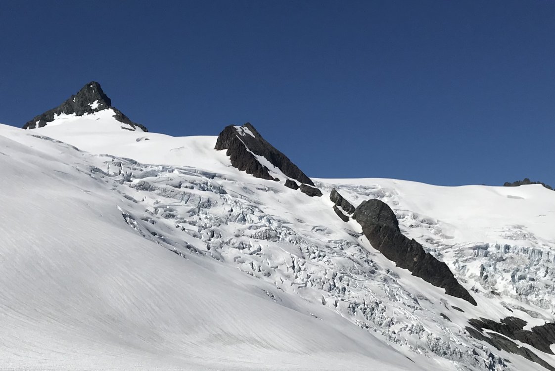
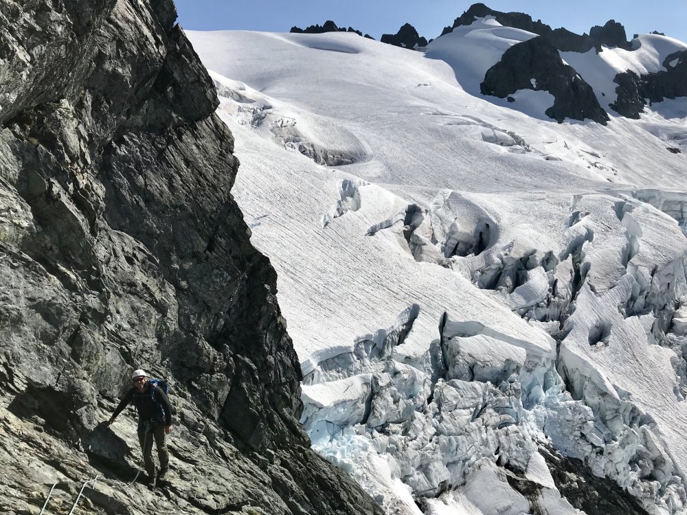
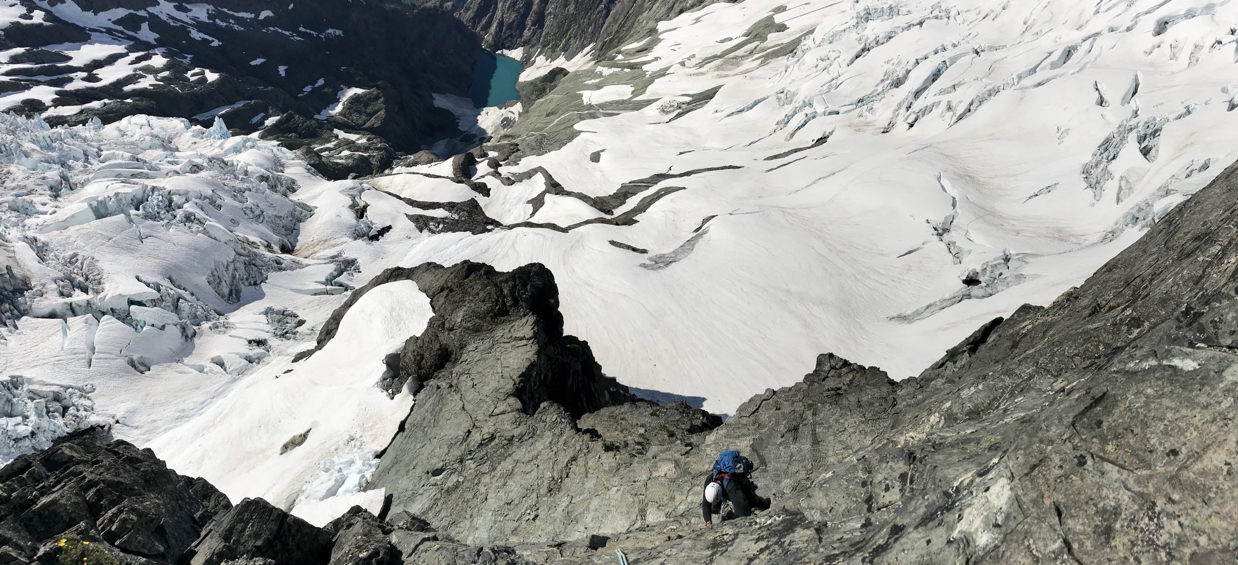
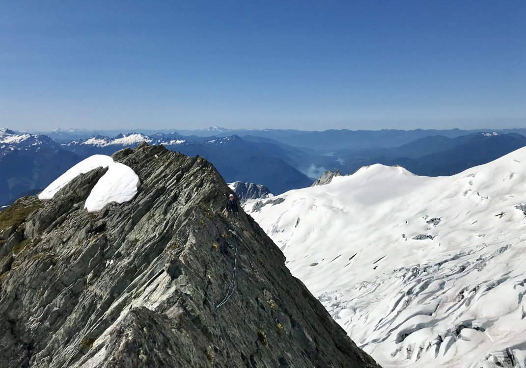
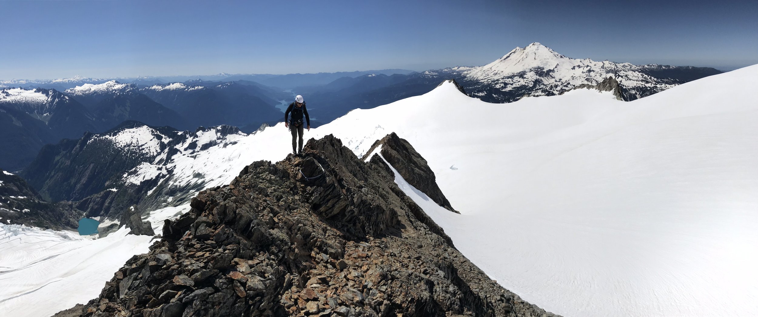
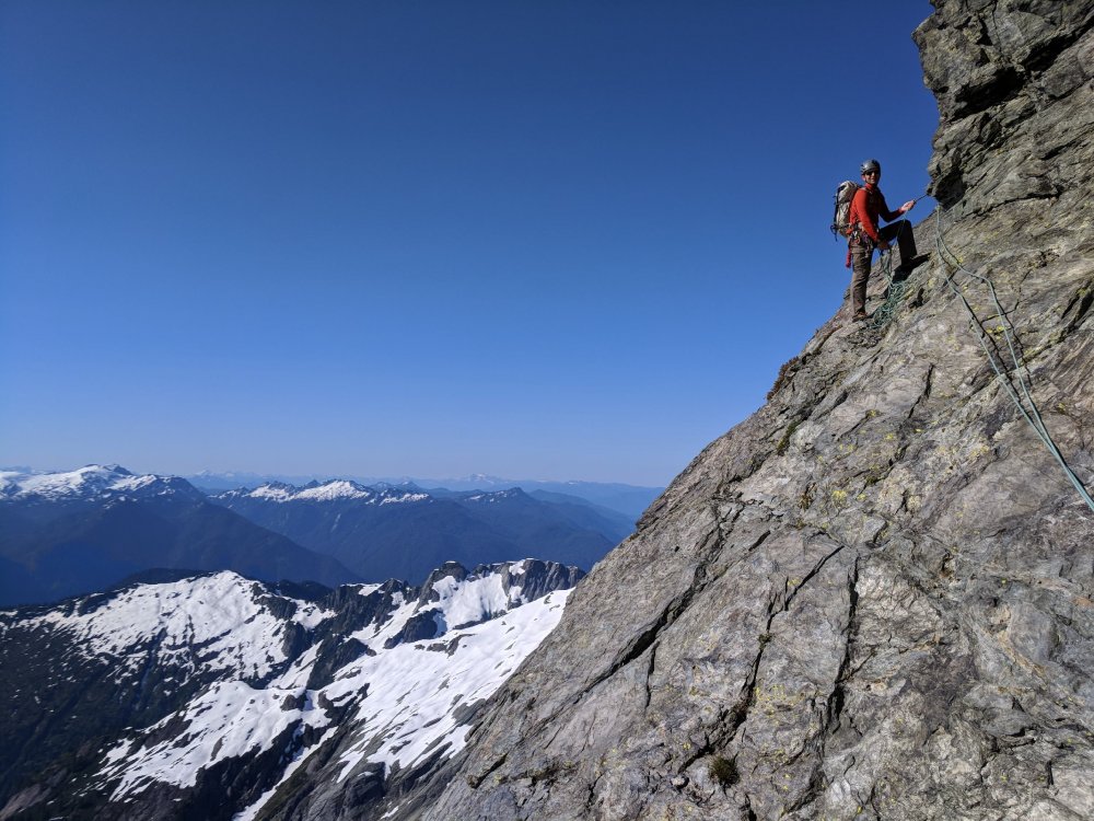
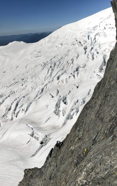
Trip: Mt Shuksan - No-Fo-O-Fo Ridge Trip Date: 07/14/2018 Trip Report: Ok maybe the name's just a personal joke. Call it the complete southeast spur of the mountain. With a day off and the desire to wander around in some alpine ambiance I was extremely fortunate to cross paths with Chris Martin (Cfire) who was amiable to my somewhat weird idea of climbing the entirety of the ridgeline separating the Sulphide and Crystal Glaciers. The finish of this feature is the frequently climbed southeast ridge of the summit pyramid. Access was a harrowing traverse underneath the terminus of the Sulphide Glacier. Seracs, debris piles, rushing water and thin fields of snow over downsloping slabs. We ran and Chris still managed to take a sizeable block of fortunately slow moving ice to the thigh. The ridge itself was a lot of fun. Generally good rock along some choss. Lots of 3rd and 4th class along with a stretch of very exposed 5th up an intimidating tower. Some down climbing, a rappel and a particularly incredible “a cheval” section. Of course the views down into the chaotic bases of the Crystal and Sulphide Glaciers were the highlight of the day, creaking, groaning with the occasional collapse both seen and unseen. Recommended for the incredible position as well as some pretty nice climbing on the lower and upper sections of the ridge. Looking down the crux pitch. Another view of the same with Sulphide Glacier in background. The amazing a cheval stretch. Photo doesn’t do it justice. Top of the second part. Description III 5.6 Start just right of the toe. Solid 4th class rock and a short bit of 5.0 choss is followed by a transition to grey shist(?) below a steep tower. Traverse to the base then follow a ramp back up left to the skyline, a short blocky bit leads to a decent belay ledge below the slabby headwall. Start on the left then traverse right (5.6?) to a hand crack then easier terrain. From the summit of the tower traverse an amazing a cheval section then downclimb a steep, featured 4th class slab to a notch by snow. Continue scrambling up the ridge line until a 40’ rappel drops onto the Crystal Glacier. Bypass a small nunataq then climb the second stretch of the ridge by its left skyline. Looks chossy but turns out to be reasonably nice 3rd class rock. From the tip of this feature a steep downclimb on snow leads to the broad bench below the summit pyramid. Follow the excellent SE ridge to the summit. Gear Notes: Small rack to 2”. A doubled up skinny 60m rope was adequate. Approach Notes: Traverse below Glacier will be slow and (more) dangerous once snow melts off rock slabs. Go early summer most years.1 point
-
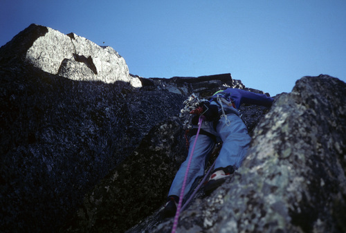
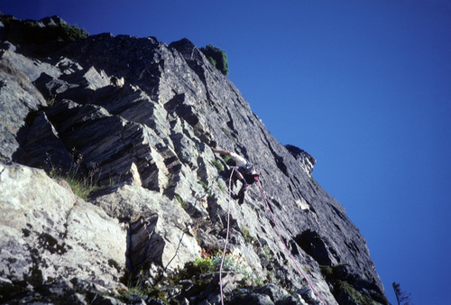
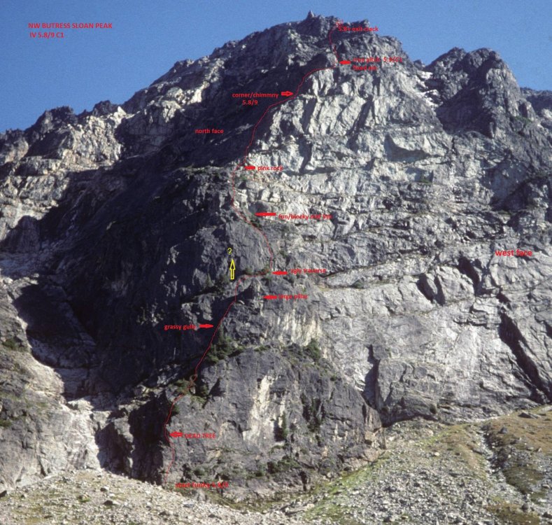
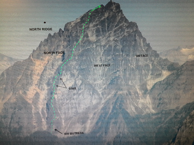
Trip: Central Cascades - NW Butress Sloan Peak FA Trip Date: 09/23/2000 Trip Report: Never did a trip report the mark b and myselfs first ascent of the NW Butress of Sloan peak, so I will do a short one now. Late September 2000 we started up the left side of the broad west face, on the dark rock slightly right of a sharp crest. first pitch is funky balancy climbing on not greatly protected rock(5.8+ish) heading for a dead tree near the crest. Pitches 2-4 climb up thru trees, a small rock step and a grassy gully(wet when we did it) topped by a large chockstone. climb up behind a huge rock pillar to a ledge to begin the teririble traverse rightward. luckily its short, until you can climb up blocky fun mid 5th rock to the top of the black rock.(great bivi) wish could have gone strait up the rock instead of the traverse but the rock looked hard (for us) and slabby. From the top of the black rock ascend just left of the pinkish, rotten rock slightly onto the northern face via easy rock, heather and small trees until you reach an obvious right facing corner/chimmney. starts easy(5.7) and gets harder as you go with the end being on small crimps with small cams for pro (5.9+ish?) Then follow the narrow heather bench rightward to the top of the steep west face(impressive bivi!) climb strait up the crux via cracks (fixed pin) to a small sandy ledge. From here it eases going up and rightish, many variations possible. We exited via a nice shortish hand crack (8+) to the upper mountain. scramble to sub-summit then the main summit. IV 5.8/9 It has 4-5 good pitches and 4-5 not very good ones, with 3rd and 4th class scrambeling Gear Notes: medium rock rack, small to 3 inches, 8-10 slings Approach Notes: same as for West face-Bedal creek1 point
-
1 point
-
1 point
-
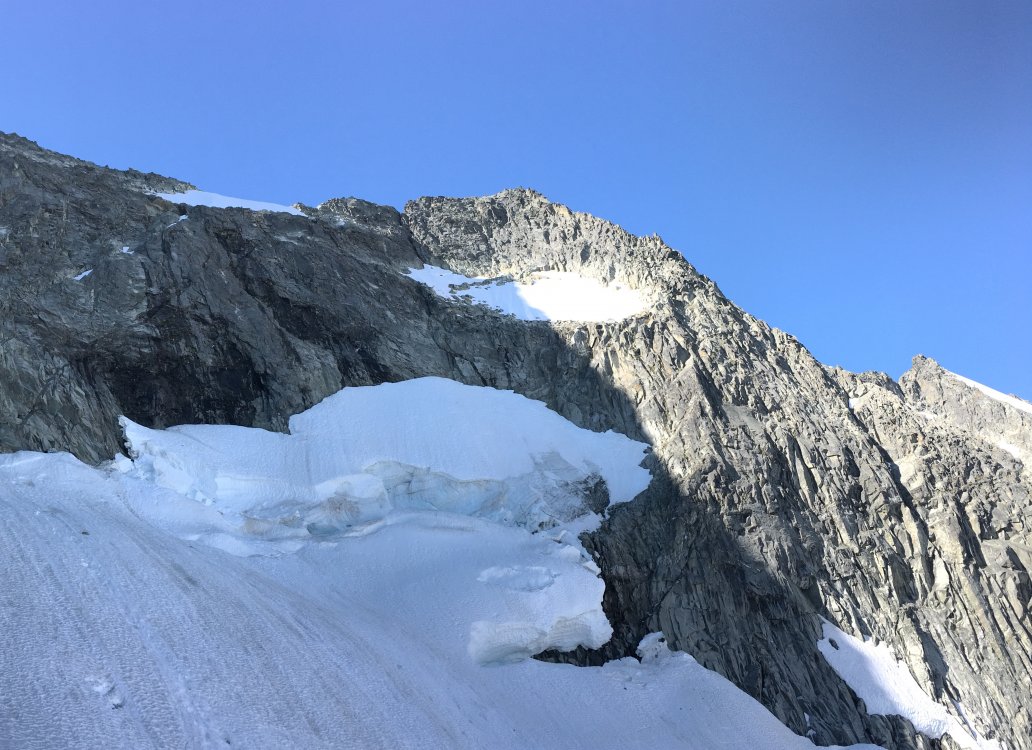
We climbed the route yesterday by the Boston Glacier approach with a spectacular bivy at the north ridge notch. Getting onto the rock from the higher snow ramp was trivial with no moat or serac shenanigans. Here is a photo of the terrain below the west ridge notch taken from where we gained the rock. It likely would have saved us lots of time but I was glad to have taken the long route just for the incredible bivy. Have fun out there.1 point
-
1 point
-
1 point
-
1 point
-
Not disagreeing with you, but it is pretty amazing how "passionate" folks are about this argument, which I suppose pits "access" vs "winderness". As in, if the land is the peoples land, but they are too out of shape, handicapped, or unmotivated to use it then what do they care what happens to it. So people want to maintain existing roads and infrastructure so that enough people use the land and care about it and will maintain it. This "shit hole" is governed by the people (at least in theory) and if the majority would rather drive their RV to managed facilities rather than backpack in to unmanaged wild spaces...that group will win. And on the other side is those that see the value in wild spaces, not just in the landscape but in the mind. A place were you can go and escape the humans, the crushing spread of the humanity. A place were you won't be hassled by the Man. I would think that all of us here are in that group, but actually it isn't so. I recall some spirited arguments back and forth whether to rebuild/restore the Dose road washout on the Oly Pen. Barring some great scythe like a virus or war that wipes out the human race and knocks population back it sure seems like things will only get worse and worse if you want to escape your fellow man or enjoy solitude. We can create more wilderness by designation, but there is going to be more and more people getting sick of being stuck in an RV traffic jam. Just try to go camp at a state site on the Washington coast during the summer. If you didn't reserve your campsite 9 months in advance, you are SOL. The earth isn't getting any bigger.1 point
-
I didn't leave in 2013. It was pretty simple. NCNP is fantastic because if it's lack of access and consequently very low visitor numbers. No amount of instagram spray will create an overloading of the northern pickets. Paving a road and installing a hotel at the head of big beaver creek, different story. Effectively that's what has happened in many of these most popular places.1 point

.thumb.jpg.d8d6db40947cc944f6d3d87de772c58e.jpg)


