ilias
Members-
Posts
111 -
Joined
-
Last visited
-
Days Won
4
Everything posted by ilias
-
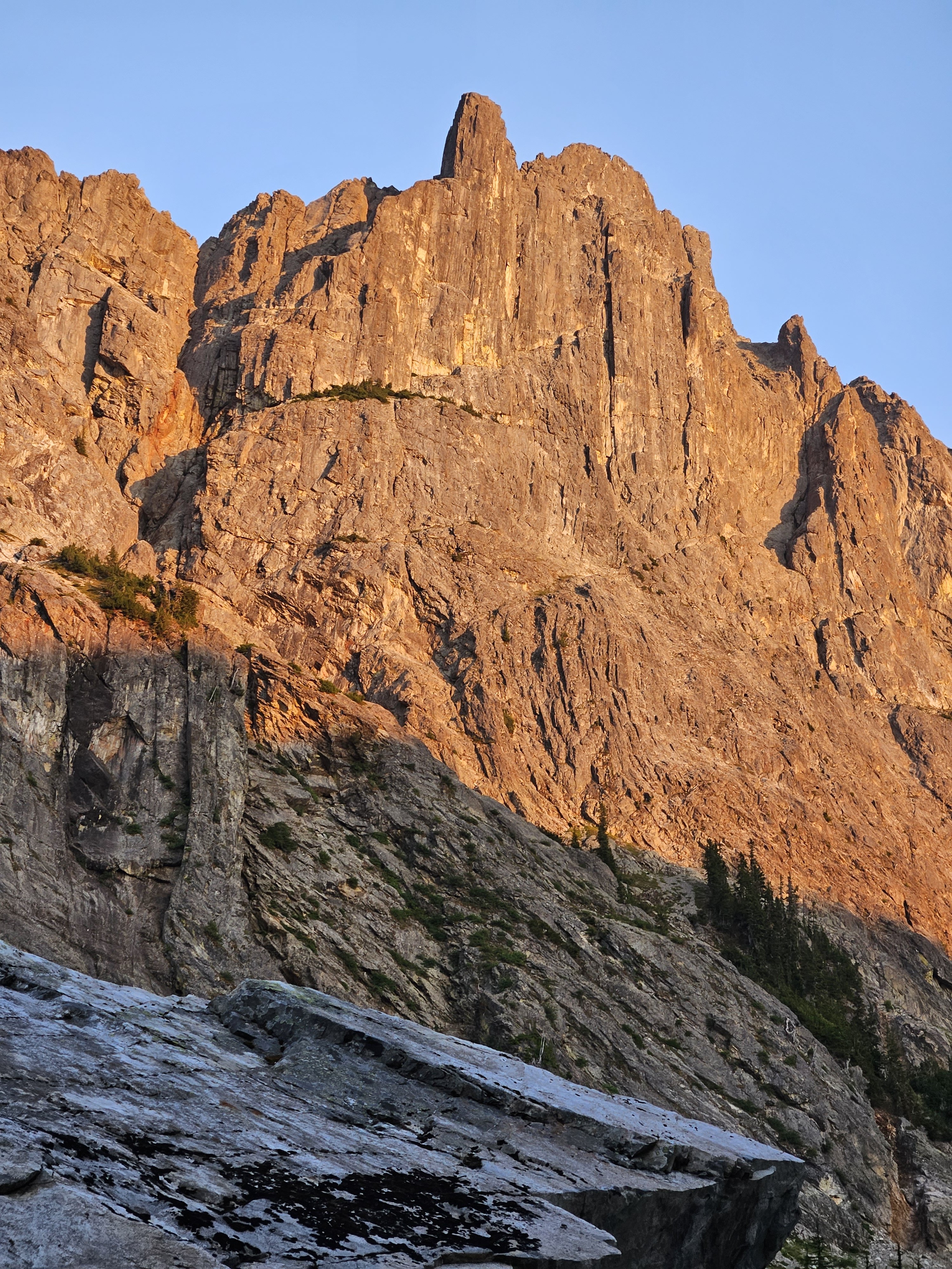
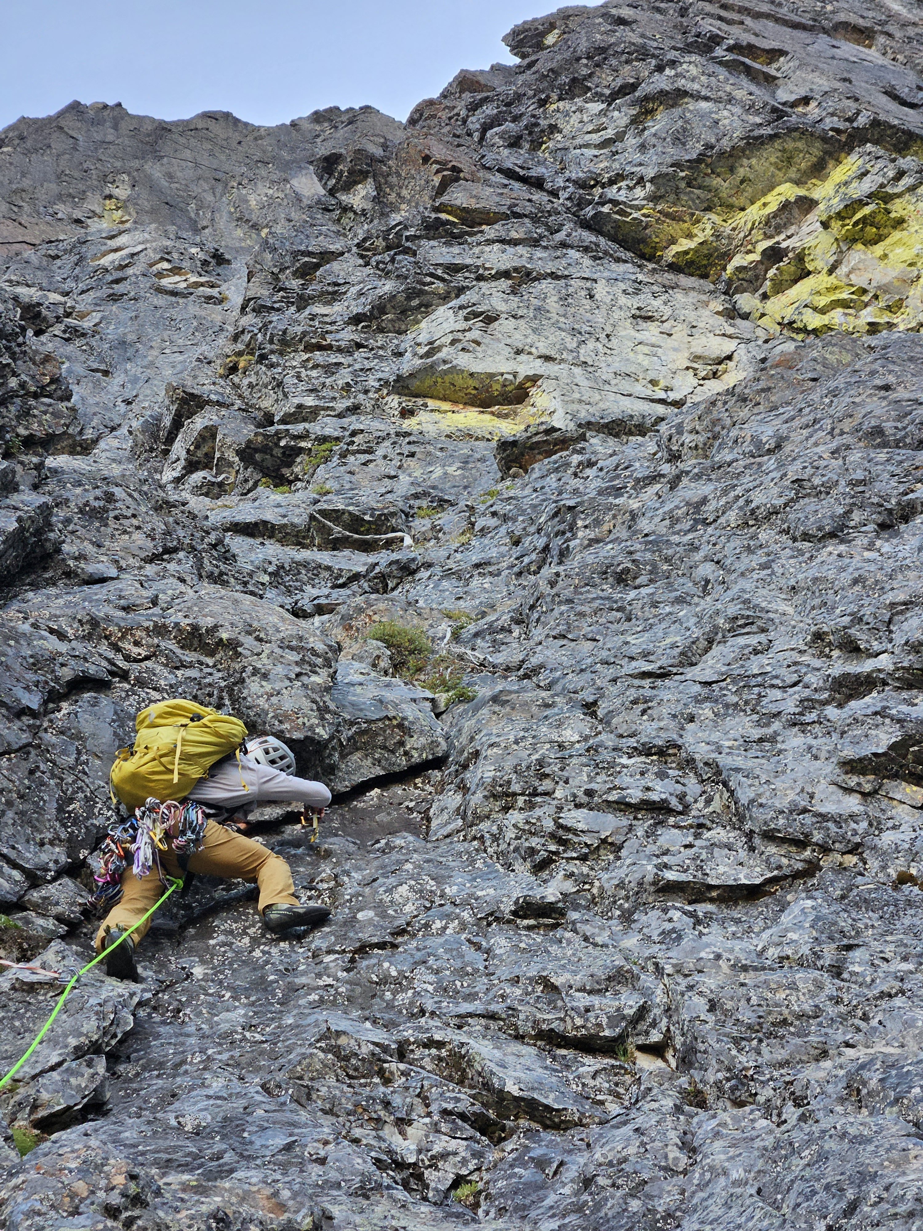
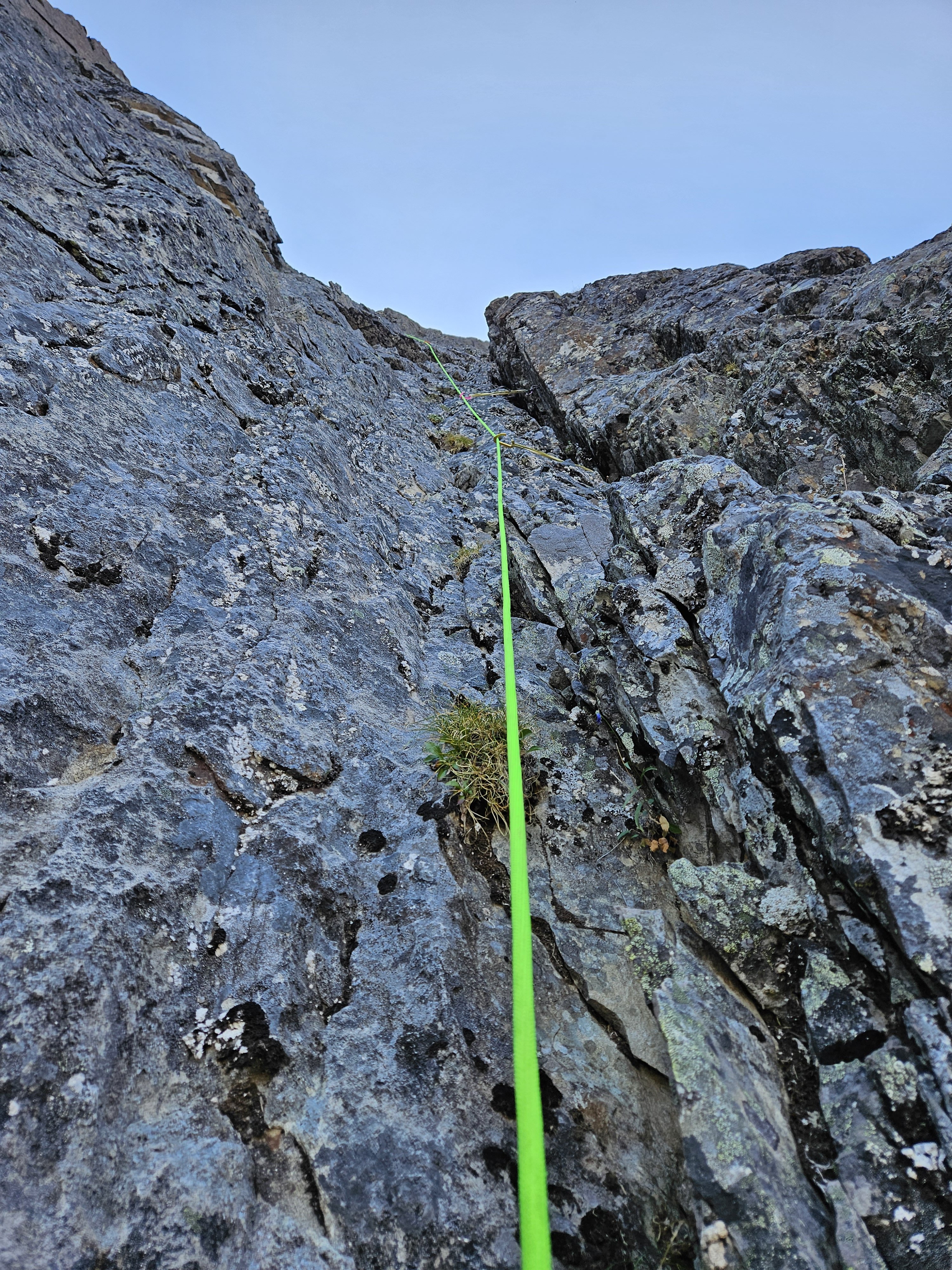
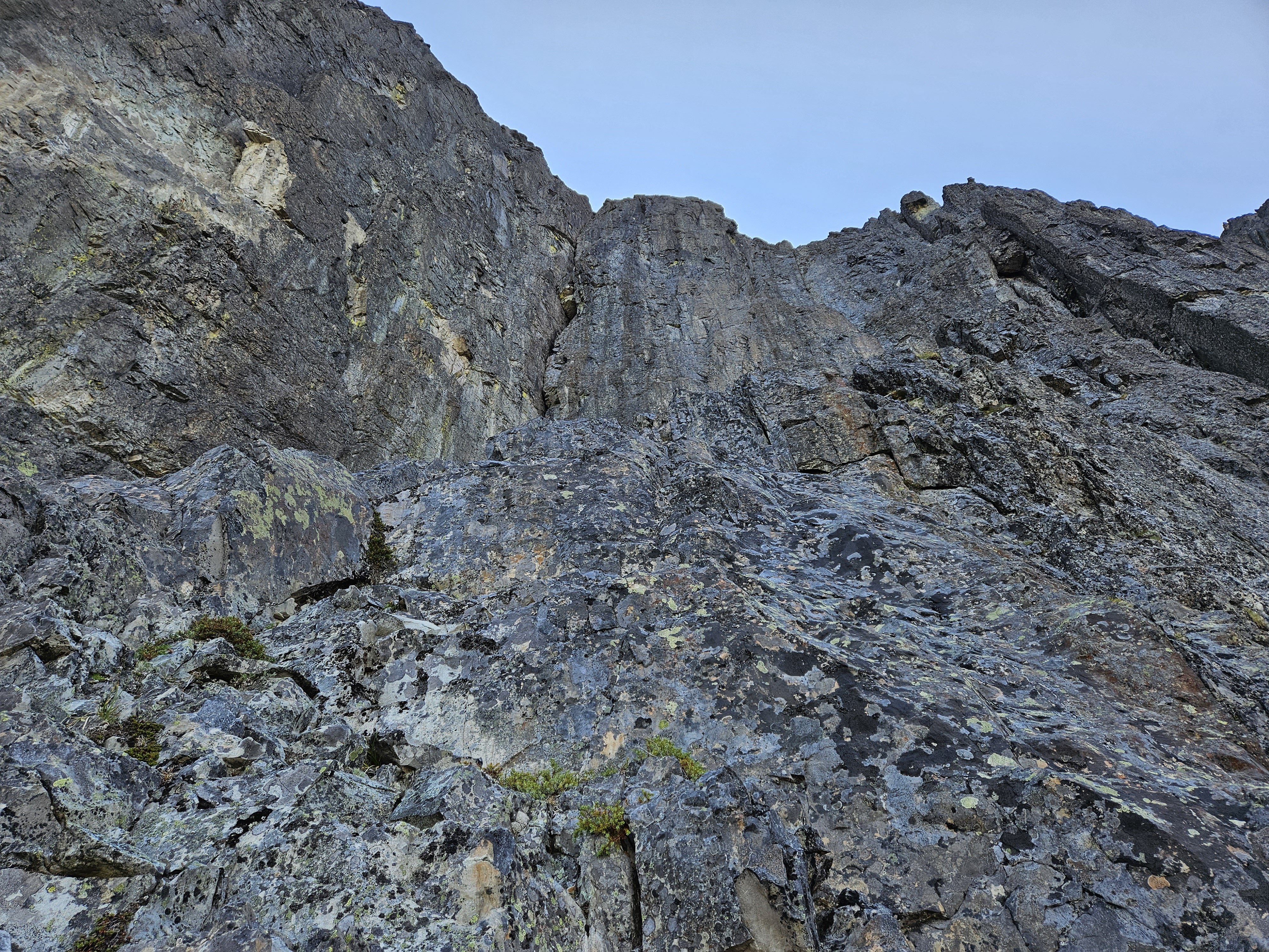
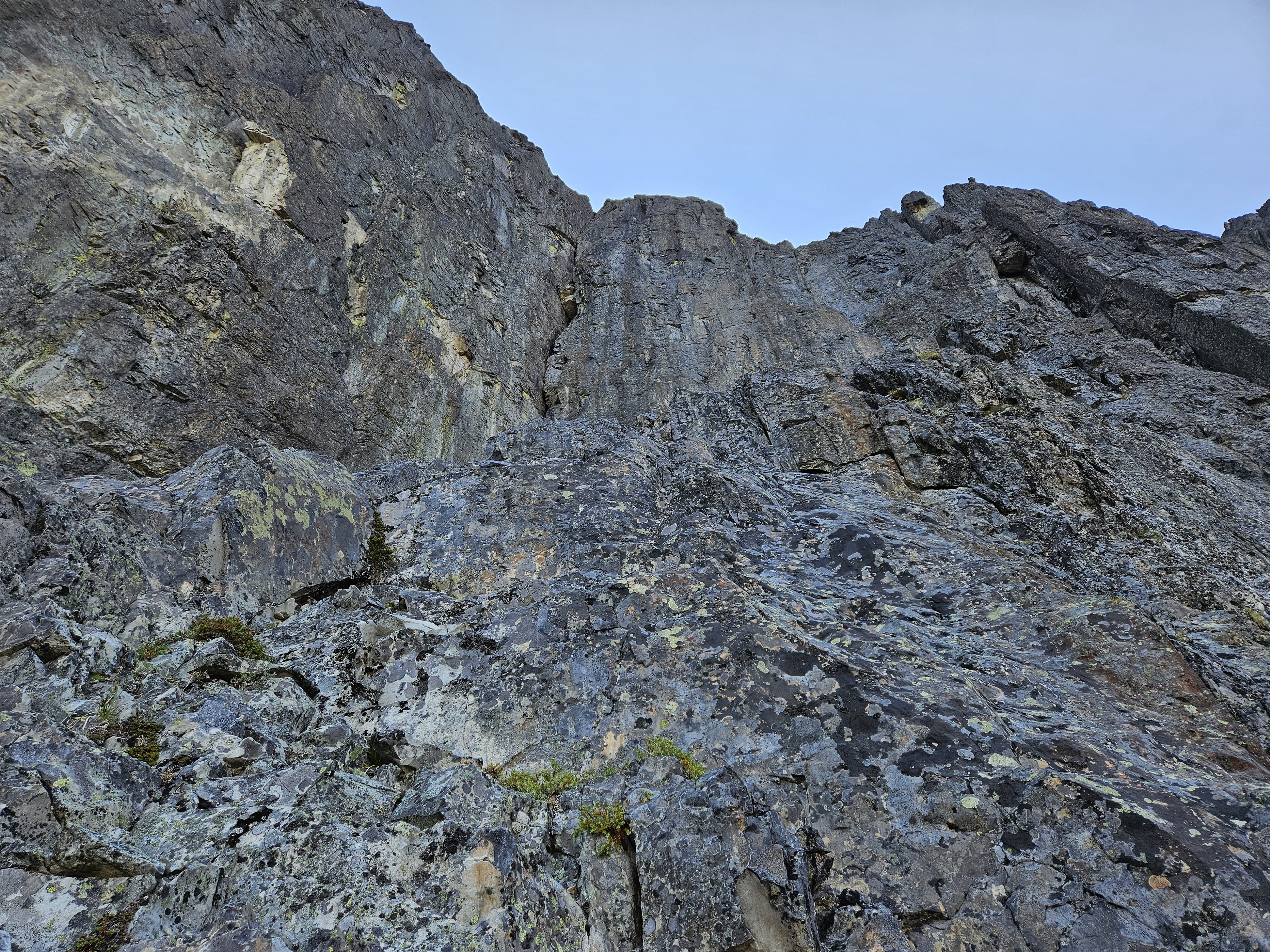
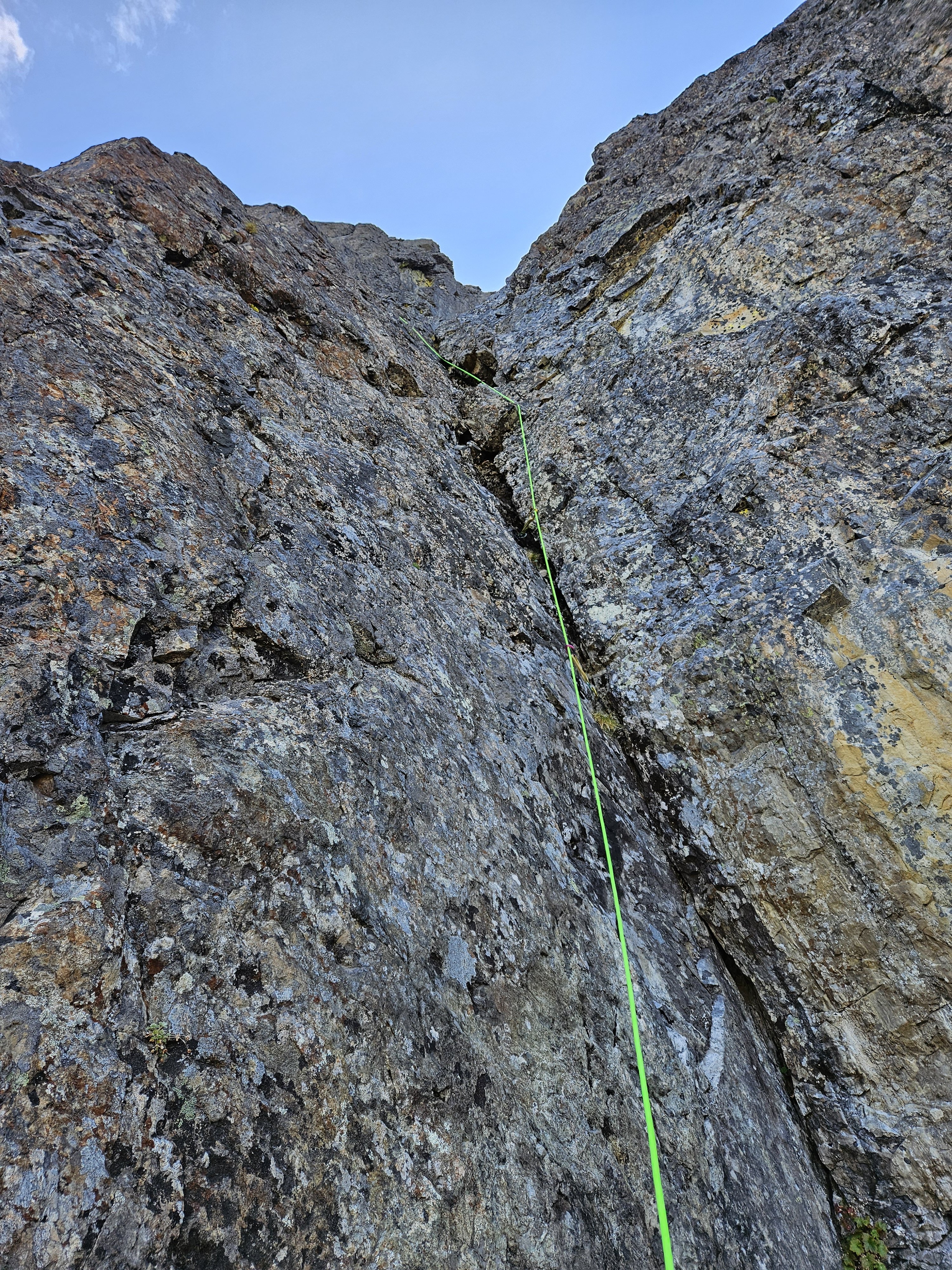
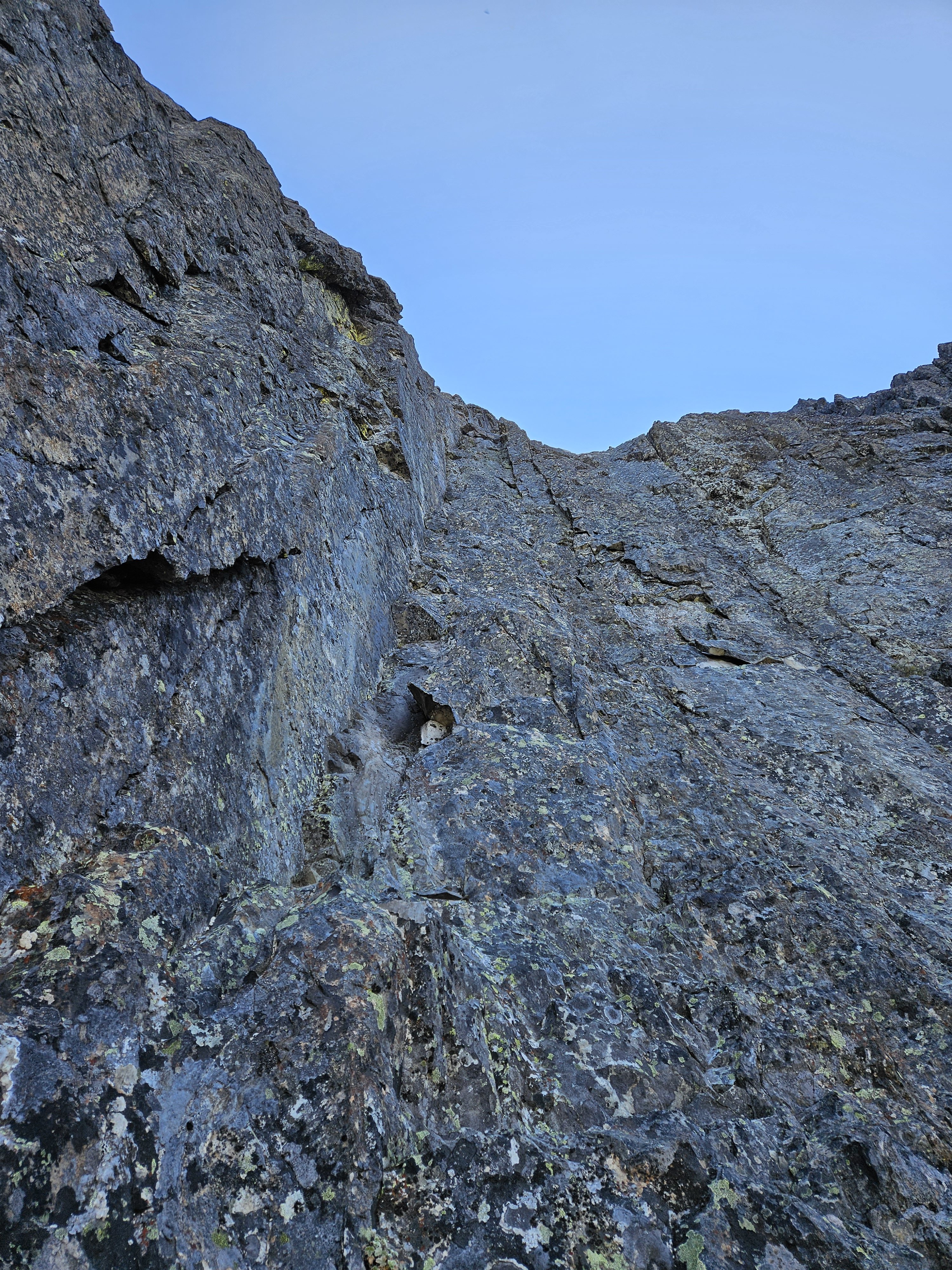
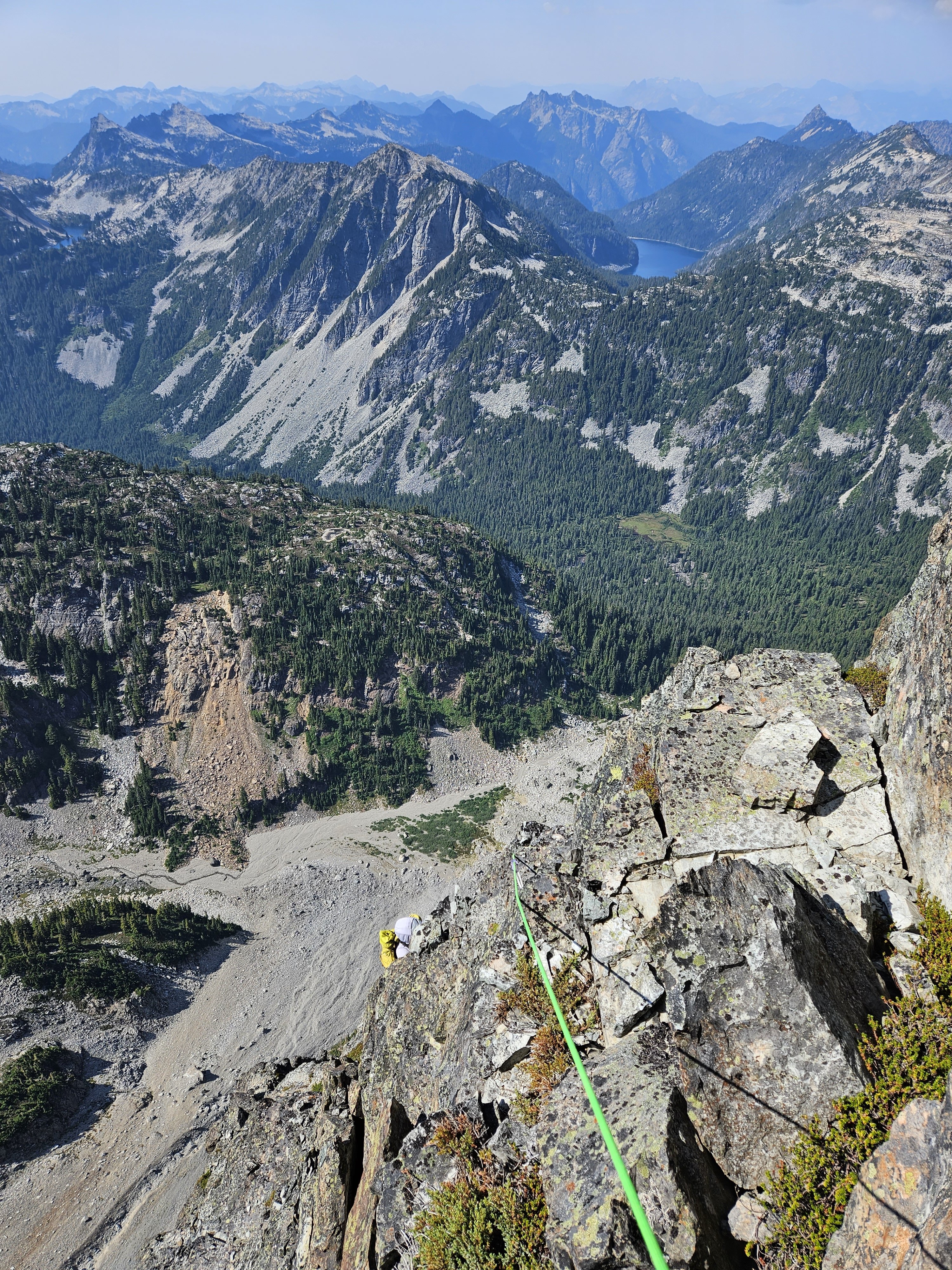
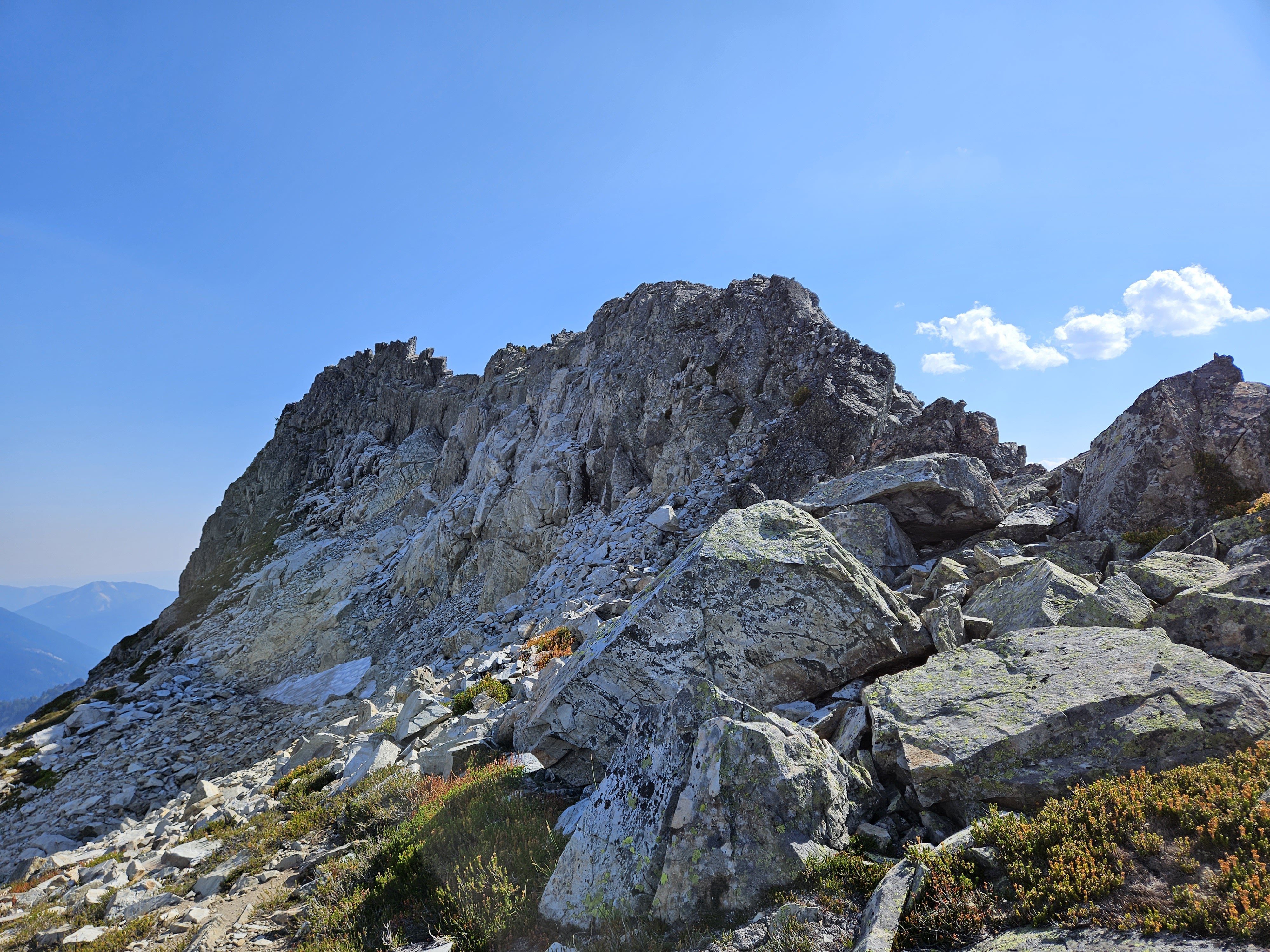
My friend Danyon and I climbed the NW Face on Little Big Chief last weekend on Aug 27th. This route is referenced as "Falcon Route" on mountain project, although I couldn't find the origin of this name as it is not mentioned in the FA (trip report here on CC: Saturday evening view of the face we were gonna climb: We approached from the Dingford Creek trailhead, which is about 13-14 miles on road/trail to the turn-off for the Summit Chief valley. We turned off the trail a 5 minute walk past the steel bridge referenced on MP and found relatively easy going with minimal bushwhacking up to camp below the NW face of Little Big Chief. Leaving camp at about 5:30 AM we wound our way up the talus, little gulley, and heather ledges to the base of the route, where we racked up for simuling and did the 200-250m of 4th-low 5th in a single simul block. This is roughly the way we went and the pitches aligned closely with the descriptions on MP: Pitch 1 had the promised undercling that must be traversed to the right, a good marker that you are at the right spot on the route, just left of of the big vertical "chimney" that splits the face. From here, we followed a groove on pitch 2: To easier ground on pitch 3 (trending up and slightly right along the crest of a convex feature) to the base of the headwall above. We found pitch 3 to be littered with a lot of death blocks sitting on the lower angle rock which we had to carefully maneuver around. A widening crack got us up the bottom of the headwall (P4): The pitches above (5,6) looked good at a distance but also had a lot of loose rock and some death blocks we had to work around. From there, we climbed up and right on easier ground over a bunch of choss covered ledges and one final pitch of ~5.7 climbing to gain the ridge. From there, we were a short distance from the summit, which we reached about 3:30pm. The MP description said to descend the ridge to the south from there. Definitely DON'T do that as that way looks extremely steep, loose, and uncertain. Instead, we descended to the north and followed the north ridge back down to Dutch Miller gap. This descent had 2 rappels from the summit on existing tat, followed by going along some easy heather ledges to skiers left to get to the north ridge. From there we easily scrambled down the ridge, where one airy step is passed by using another established rappel station. After that, it is all non-technical scrambling/walking down to Dutch Miller gap, from where we had to loop back around the trail and up to camp (had we known we would descend all the way to Dutch Miller gap we would have camped by the main trail rather than camping by the base of the NW face). As it was, we reached camp at 9pm, hiked part way out to the horse camp near the Hardscrabble Lakes trail turnoff and bivied there (1am-4am) for a few hours before getting up early Monday morning to hike out the rest of the way and go to work. Hopefully this beta helps someone. Overall, a pretty cool climb although it had more loose rock than we were hoping for and I would be wary of that. If you decide to climb it, definitely DO NOT do it under another party, be very careful about picking your belay stances to shield the belayer from rockfall above, and plan on descending to Dutch Miller gap. We brought the following gear: 60m rope 1x BD 0, 0.1, 0.2, 2x 0.3-#2, 1x #3 A set of pitons (never used, leave these at home) A set of nuts (never used)
-
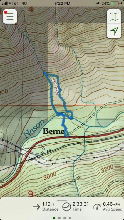
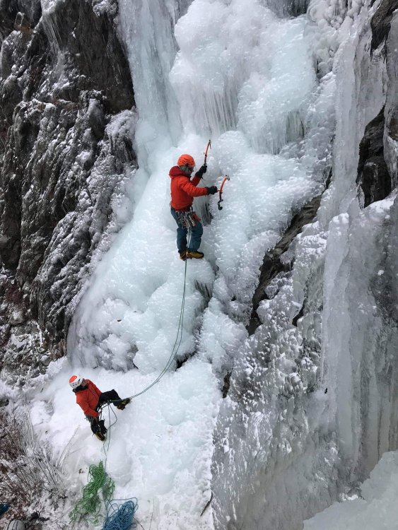
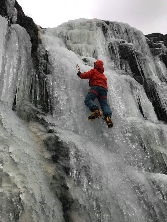
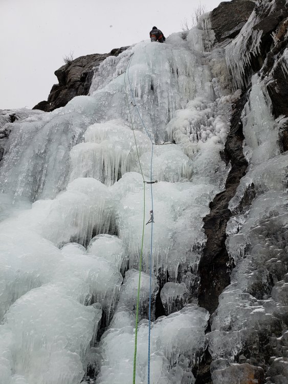
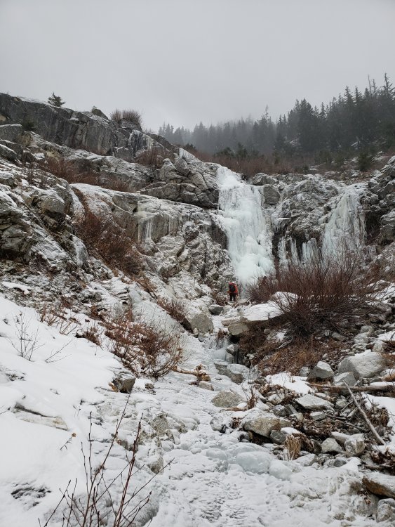
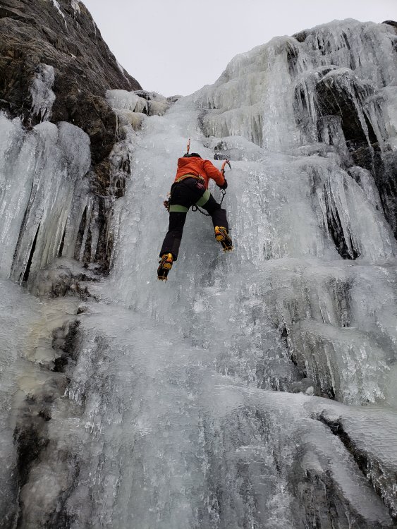
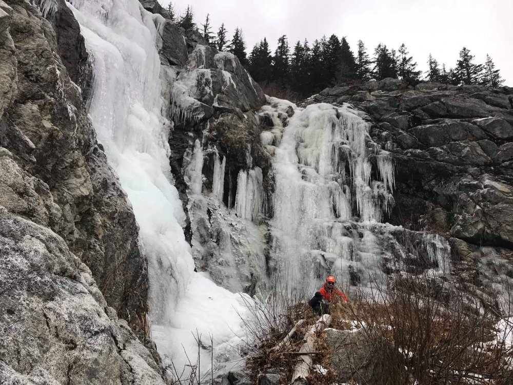
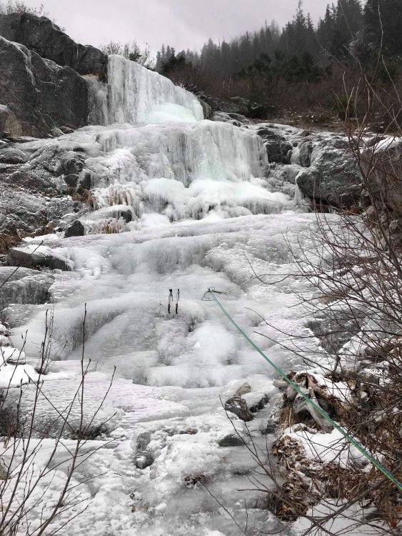
Found 3 pitches of wi2/3 ice near milepost 72 off Steven's pass highway. Fun climbing, plenty fat for screws! 2nd pitch is wi3, 1st and 3rd are shorter and wi2. Anyone know what this route is called? See gps track for location.
-
Unfortunately I think most people post in the facebook group now. It's really too bad because whereas a forum like cc.com serves as a useful repository of information and trip reports for years/decades, on the Facebook group the posts that people make about their trips are essentially impossible to find after the first few days. I can't count the number of times I've found a key piece of information about some bit of navigation from some trip report here that is 5-10+ years old. Facebook is a terrible terrible medium for this kind of information, and yet people gravitate there because that's where they can get more "likes" on their reports. Sigh.
-
Applauding risk acceptance beyond your own limits
ilias replied to glassgowkiss's topic in Climber's Board
The risks of driving are definitely real and worth considering. When it comes to what kind of car you buy, it certainly affects my decision making. The drive home from a long day in the mountains can often be especially dangerous if the driver and passengers are tired, so for my last car I got one with the latest automated features for automatic collision prevention, lane departure warning, etc. Statistics show these features can significantly mitigate the risks of certain kinds of incidents. I chose those features over a car that would be more comfortable to sleep in at trailheads. I also generally avoid biking on the roads within Seattle more than occasionally as I find biking in Seattle traffic to be above my risk tolerance for something that I would do on a regular basis. I'll do it occasionally but not as a daily commute (that comes back to the number of trials that you do something risky). -
Applauding risk acceptance beyond your own limits
ilias replied to glassgowkiss's topic in Climber's Board
Neither will I but I think it is helpful to think about to try to assess what routes to do and when to do them. For example, for backcountry skiing with the avalanche forecast tools we now have available, it is relatively easy to minimize the worst of the risks... i.e. don't go out on red days, stay in protected / low consequence terrain on orange days. For alpine climbing, avalanche danger is still a consideration but there are many other risks that are not as well forecasted. But other objective hazards like falling ice on a certain route, probability of bad weather coming in during a difficult descent, hidden crevasses on a glacier crossing, etc, could at least in principle be estimated well enough to inform decision making. Some routes have enough statistics to start to make quantitatively informed decisions. Other aspects of risk assessment could be used to inform best practices while climbing. For example, a lot of data over the years has shown high accident rates during rappels, and today most new climbers learn to rappel with backup systems in place (such as an autoblock or auto-locking belay device), which did not used to be a common practice. -
Applauding risk acceptance beyond your own limits
ilias replied to glassgowkiss's topic in Climber's Board
Great discussion in this thread. I've done some thinking about the numbers regarding climbing risks and come to the conclusion that probably about a 1/10,000 chance of dying or being seriously injured on any given trip is a "reasonable" risk to take. How do I come to that conclusion? Let's say you climb every weekend of the year (50 times per year) and want to climb for basically your entire adult life while capable of doing so (for example, 40 years). 0.9999 chance of surviving each outing adds up to an 81% chance of surviving all 2000 outings you're going to do over that 40 year climbing career. A 1/5 chance of dying in the mountains over the course of your life is about the same chance as other "natural" causes so seems to be not unreasonable. In my mind, that's at least a way to start thinking quantitatively about risk. On the other hand, if you increase the risk per trip to 1/1,000 chance of dying, the chance you'll die in the mountains increases to 86.5% over that 40 year climbing career, or 40% just in the first 10 years, which is horribly more risky than anything else (the average person's chances of dying from the age of 25-35 are about 2.5%, so climbing at the 1/1000 risk per weekend level would be about 16 times more risky than everything else in life combined in that age range). Based on this, if I see something that I feel like has a 1% chance of going horribly wrong, I know that that's far outside my risk tolerance (by a factor of about 100). Of course, quantifying risk tolerance in this way is only helpful if you can quantify the risks meaningfully too. Are you gonna go up an avalanche gully that has a catastrophic slide once per 100 days, and you're gonna be in it all day? Probably way too high risk, then. Are you gonna be in it for 10 minutes? Maybe ok then based on the above risk tolerance because that's about a 1/14,400 chance of it sliding while you're in it. Are you gonna cross 10 such gullies on that 1 trip? Well, then the chances of dying in that 1 day are too high. But most often, no such statistics are available, and risk assessments of any given route, terrain feature, or move are rough guesses that can easily be orders of magnitude off. Based on this line of thinking, I think key questions in any risk analysis survey would have to include how often someone climbs, for how many years they plan to climb, and what their tolerance is for a % chance of dying as a result of climbing over that time span. -
Very cool. Tunneling through that cornice looks a bit terrifying!
-
Trip: Dragontail - Triple Couloirs Date: 4/23/2017 Trip Report: Jeff, Priti, Allie, and I climbed Triple Couloirs on Sunday car to car. Great day in the mountains with great friends! It was in fairly easy conditions and though we brought gear in case we needed it, we ended up free soloing the entire route. I had done this route two years ago and this time around it felt way faster and easier, a fun jaunt in the mountains instead of an exhausting and serious undertaking. Great to feel some progress! Trip timeline: 4:45am: Left Car at Icicle Creek Road 9:15am: Got to Colchuck Lake 11:00 am: Started up route 2:40 pm: Summit 4:00 pm: Back down at Colchuck Lake 8:15pm: Back at car The whole area is still very snowy for this time of year. The couloirs were full of snow that made for very secure walking up with your entire boot going in every step. The runnels were a mix of AI2 in some sections and steep snow over rock in others. I definitely swung into the snow only to have my tool bounce off the rock underneath a few times. North face conditions Asgard Pass looks like some nice skiing. Wouldn't want to have lugged skis all the way in here though! Although we did run into another party carrying skis up Triple Couloirs. Heading up the first couloir. The crux of the runnels. About 10m of AI2-3. Above the crux of the runnels looking down. Weather deteriorating. Coming up on the step from the 2nd into the 3rd couloir. Summit selfie. Photo credit: Priti Starting the descent down the back side of Dragontail. Started snowing pretty good on our way out. Fun times on the depproach. Approach Notes: No flotation needed. Microspikes would be nice. Road is dry for first ~1.5 miles, then increasing snow patches, fully covered in snow for the last ~1 mile.
-
[TR] Slesse - Northeast Buttress (Attempt) 9/24/2016
ilias posted a topic in British Columbia/Canada
Trip: Slesse - Northeast Buttress (Attempt) Date: 9/24/2016 Trip Report: Devin and I tried to climb the NE buttress of Mount Slesse. The weather forecast was promising, and our biggest concern going into the climb was whether there would be enough water - we'd read there isn't any up there late in the season and so we hauled up 4 liters each with us. As it turned out, lack of water would not be our problem! Clouds swirled in and out all day, revealing tantalizing glimpses of the route one moment then shrouding the mountain in mystery the next. We had a hard time deciding if weather conditions were good enough to give it a try or not, continually putting off the decision as we hiked and scrambled upward, hoping it would become obvious if either the sun broke out or it started to rain. As we hiked up the slabs below the pocket glacier, we passed a party that was coming back down. They'd gone up to where the first 5.7 climbing of the route is, found it wet, and turned around, telling us that "discretion is the better part of valor". We decided that "valor is the better part of valor", and continued up. The rock was damp in places and dry in others at first, and the first pitches of the route had some fun climbing, but the rock got progressively wetter as we got higher. When we first started the route, I had been interested in climbing the 5.9/10a direct option straight up the buttress, but with wet rock it seemed obvious we should opt for the easier bypass right of the crest. The bypass was soaked and slowed our progress, and we arrived at the bivy ledge with only an hour of light to spare. The forecast for day two called for a 10% chance of 0.04 inches of rain. We got into our bivies hoping that Sunday would at least not be worse than Saturday had been, and thinking that even with the damp rock, we could methodically work our way up the upper pitches and descend, as we'd have all day to do it. But shortly after we crawled into our bivies and went to sleep, the rain started. It didn't stop all night, soaking us completely and causing the entire NE buttress to turn into a dripping wet mess. Day 1: "Valor is the better part of valor." Day 2: "Run away!" We woke up around what we could only assume was sunrise, somewhere far away beyond the clouds and mist and rain. With the rock running with little rivulets of water, it was obvious to both of us that climbing upward would be a bad idea, and we quickly made the decision to retreat back down the route. The rappels were surprisingly straightforward, though we left a number of slings, 2 nuts, and 1 cam to facilitate our descent down the buttress, which took over 10 rappels as the soaking wet rock, mud, and moss made us hesitant to downclimb. All in all, an adventurous end to summer alpine climbing season. Slesse, we'll be back! The photo uploader on cc.com is broken, so check out the photos here: https://goo.gl/photos/CdqNJJDvfPk2gUNb9 -
Trip: Grand Teton - Complete Exum Ridge Date: 9/17/2016 Trip Report: Nathan and I climbed the Complete Exum Ridge on the Grand Teton. Great climbing with a great partner! We were there a bit late in the climbing season and encountered a lot of snow and some ice, especially on the descent. Lots of new experiences for me on this trip, first time climbing rock at higher altitude for one. With only one day of acclimatization, the 5.7 pitches on the Exum ridge posed a lot more difficulty to me than I would have expected! The upper ridge was easier, but some spiciness was thrown in by the presence of snow and ice which made trusting feet much more difficult. The weather, though cold, stayed great for us on the ascent, but started quickly turning worse as we descended. The Owen Spalding rappel route included a chimney full enough of ice that you could definitely have ice climbed it, and spindrift fell on us as we made the rappels. After two rappels, the rest of the descent was scrambling, and the conditions continued to worsen with severe winds and limited visibility. Wind gusts reached probably around 90mph and made staying attached to the mountain on the scramble down interesting at times! We arrived back at the lower saddle where we'd camped the night before only to find the bivy site we thought was relatively well sheltered from the wind still taking a beating. Luckily for us, some fellow climbers that were going to try to climb the next day had seen my firstlight tent starting to blow away and saved it, piling it full of rocks. It was unable to stand up to the storm, nor could we light our stove in that much wind, so we decided to hike out that night rather than trying to camp (which had been our original plan). With the late start to our hike out, we didn't arrive back at the trailhead until ~2:30 am. The photo uploader on cc.com is broken, so you can check out the photos here: https://goo.gl/photos/naoavYaT7zvdce3e7
-
[TR] Bugaboos - Beckey-Chouinard - Car to car
ilias replied to Priti's topic in British Columbia/Canada
It's snowing in the Cascades, too. -
[TR] Slesse - Northeast Buttress: Car-to-Car 8/28/2016
ilias replied to JeffreyW's topic in British Columbia/Canada
Nice! This is definitely on my list for this year! Now to find a partner... -
Nice work, looks sweet! You picked a great climb for your free weekend Devin
-
[TR] Bugaboos - Beckey-Chouinard - Car to car
ilias replied to Priti's topic in British Columbia/Canada
This is awesome! You guys are crushing! -
[TR] Valhallas - Gimli, Asgard, Niselheim - 8/11/2016
ilias replied to ilias's topic in British Columbia/Canada
Nice view of Asgard! What a perfect looking pyramid. -
Lots of water rushing off it this weekend too!
-
[TR] Valhallas - Gimli, Asgard, Niselheim - 8/11/2016
ilias replied to ilias's topic in British Columbia/Canada
Was open to the trailhead and in great shape. There's a boulder on the road not far from the end but anything besides an absurdly huge truck would make it around it fine. -
Mondo really needs to be open 24/7
-
It was actually very close to climbable that way on this trip. We only had approach shoes, and the axe and crampons were only necessary for a ~100 ft section below the saddle going around left of that hump that's there. If we had cared to scramble down rocks a little ways and then back up, we could have avoided that one steeper snow bit and never put our crampons on. I could tell that those slabs were very recently covered in glacier, super smoothly polished. At the same time, I was actually surprised at the remaining size of the glacier, given it's aspect and elevation. I doubt there will be a glacier there at all in 10 years.
-
Trip: Mount Triumph - NE Ridge Date: 8/22/2016 Trip Report: For Mike and Evan's grad climb with the Boealps ICC, we climbed the NE Ridge of Mt Triumph. Tyler and I were there as instructors, but really we just stood back as Mike and Evan as they did all the hard work of planning, navigating, and leading the route. Nice work guys! Awesome climb. Here was our timeline... Friday 9:00 pm - leave trailhead 11:30pm - arrive at camp at lower Thornton Lake Saturday 6:00 am - leave camp 7:30 am - arrive at the saddle 9:00 am - arrive at the notch at the base of the NE ridge 12:00pm - climbing the 5.7 offwidth pitch 1:00 pm - summit 1:45 pm - leave summit 5:30 pm - back at notch 7:30 pm - back at camp at the saddle Sunday 6:30 am - leave camp 9:30 am - arrive at car Lot's of fun ridge climbing and great views. Best sights of the Pickets that I've seen from anywhere so far. Definitely gonna have to go there soon! More photos here: https://goo.gl/photos/dhyvV86dD7ozRvqD9 First view of Triumph: Coming down from the Saddle: Crossing the glacier towards the notch: Looking back across the glacier: Bushy climbing low on the NE ridge: Even on the knife edge: The 5.7 "offwidth" crux. It did not actually involve making any offwidth moves, it's a super featured corner that you could climb using just about any technique: Summit group shot: Tyler admiring the greatness of the Great Notch: Views of the pickets: Triumph at sunset with Google deciding to stylize the photo for me: Gear Notes: Single rack to #2 was plenty. Crampons and axes were nice for a short section of steepish snow near the saddle before you get onto the glacier.
-
[TR] Goode Mountain - NE Buttress 8/12/2016
ilias replied to Todd Anderson's topic in North Cascades
Nice work! Goode is a full value trip, that's for sure. I think the better descent to Park Creek is on the ridge to the right of the drainage, that's what we took anyway and it was pretty mellow and had traces of having been previously traveled. -
[TR] Mount Sir Donald - NW Ridge 8/20/2016
ilias replied to HHinkkala's topic in British Columbia/Canada
Nice work, looks awesome! My trip report from last year was probably one of the "horror stories" that people read about descending the bypass. For us, the bypass looked clear of snow but once we were on it it was apparent that it had only JUST finished melting and was still wet and seeping underneath, and we also messed up routefinding on the bypass by cutting skier's right too early, I think. Looks like your beta on the bypass descent should be useful for future parties!

