Leaderboard
Popular Content
Showing content with the highest reputation on 08/27/22 in all areas
-
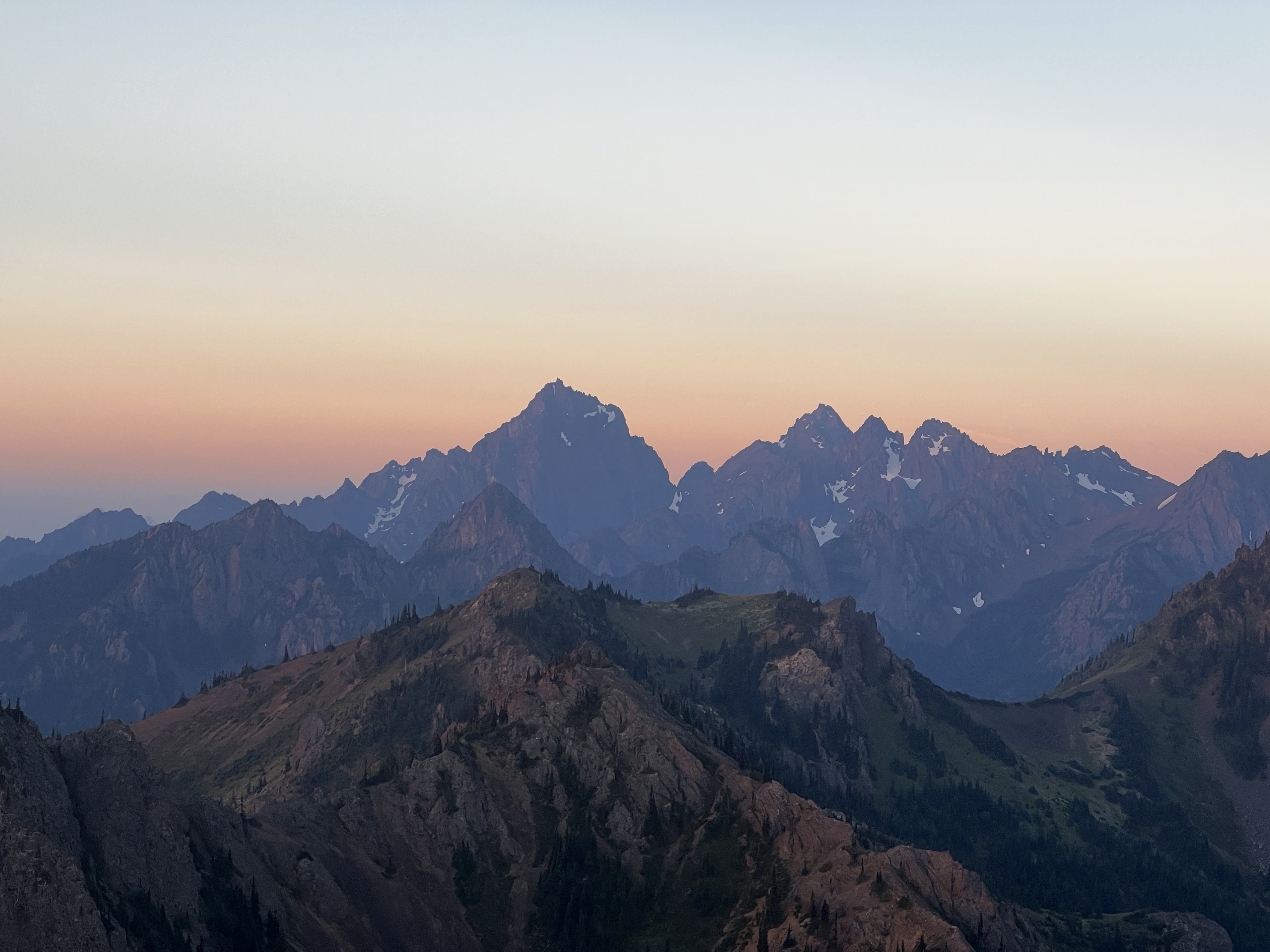
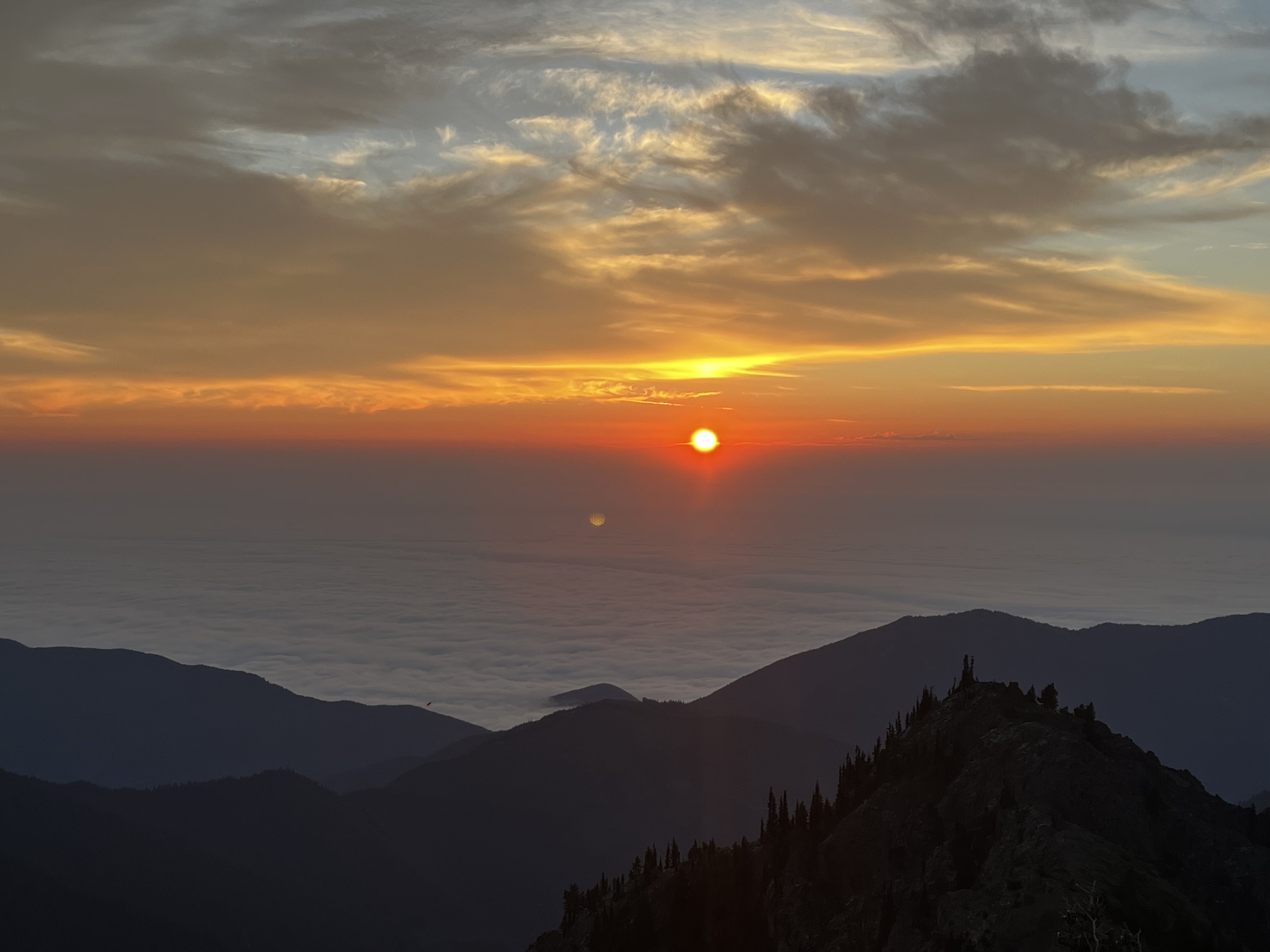
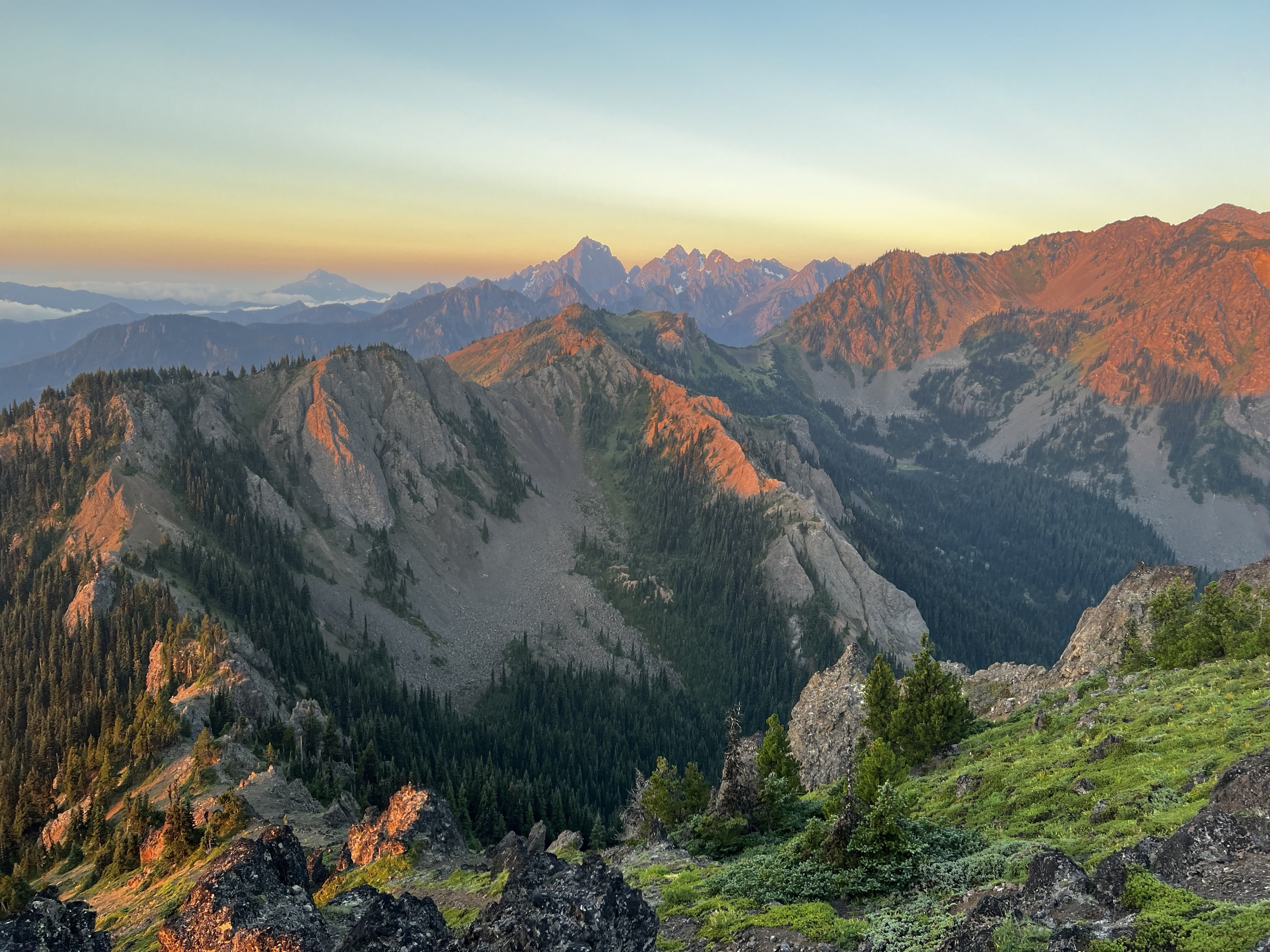
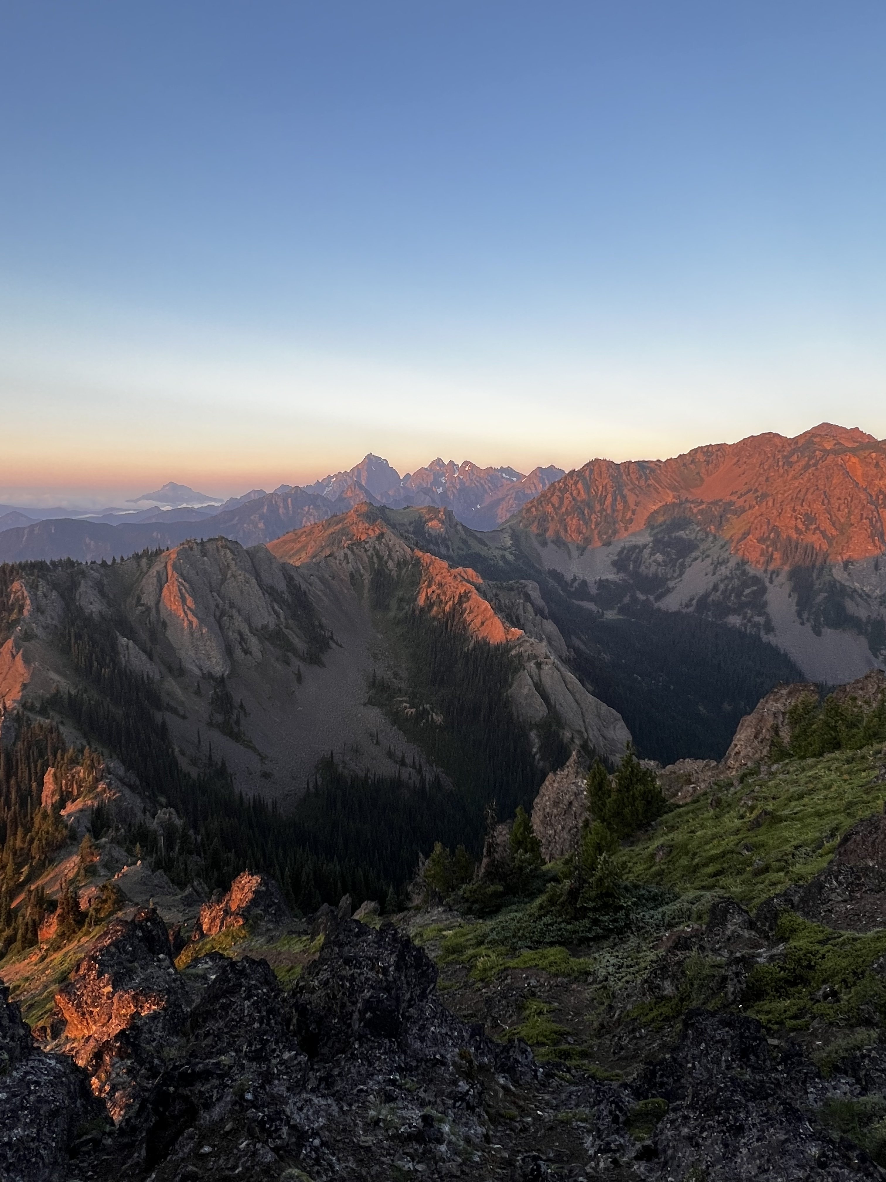
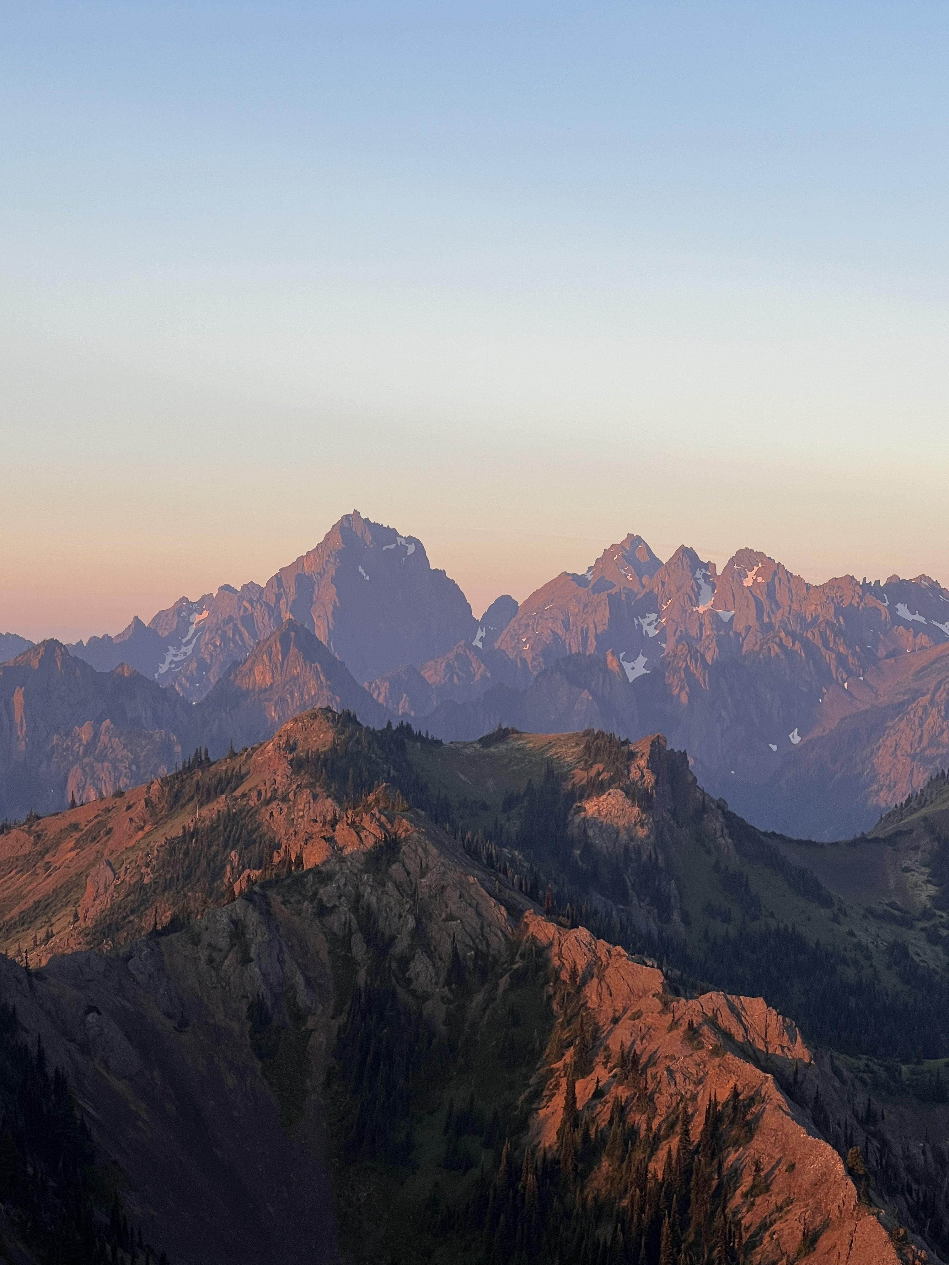
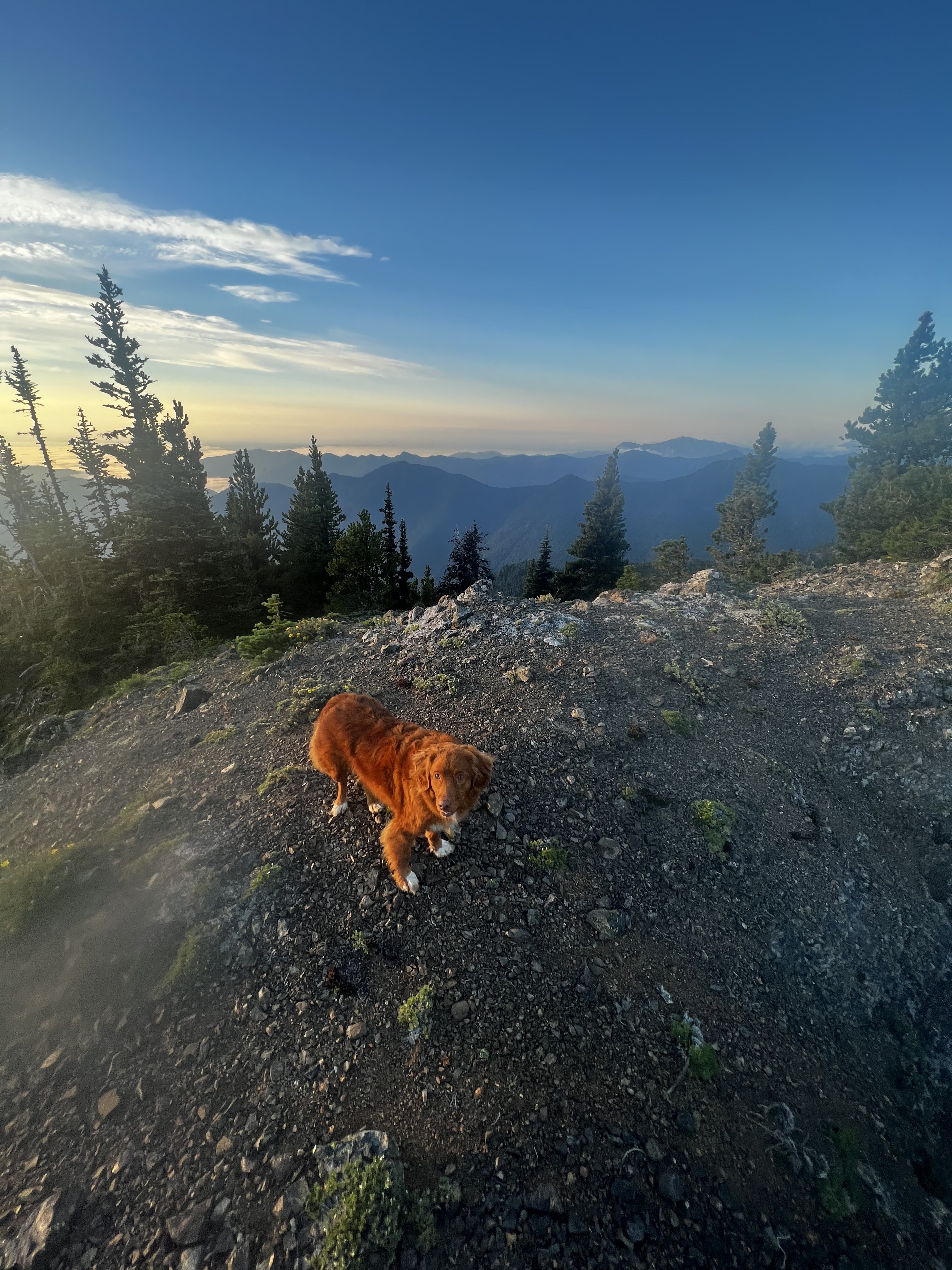
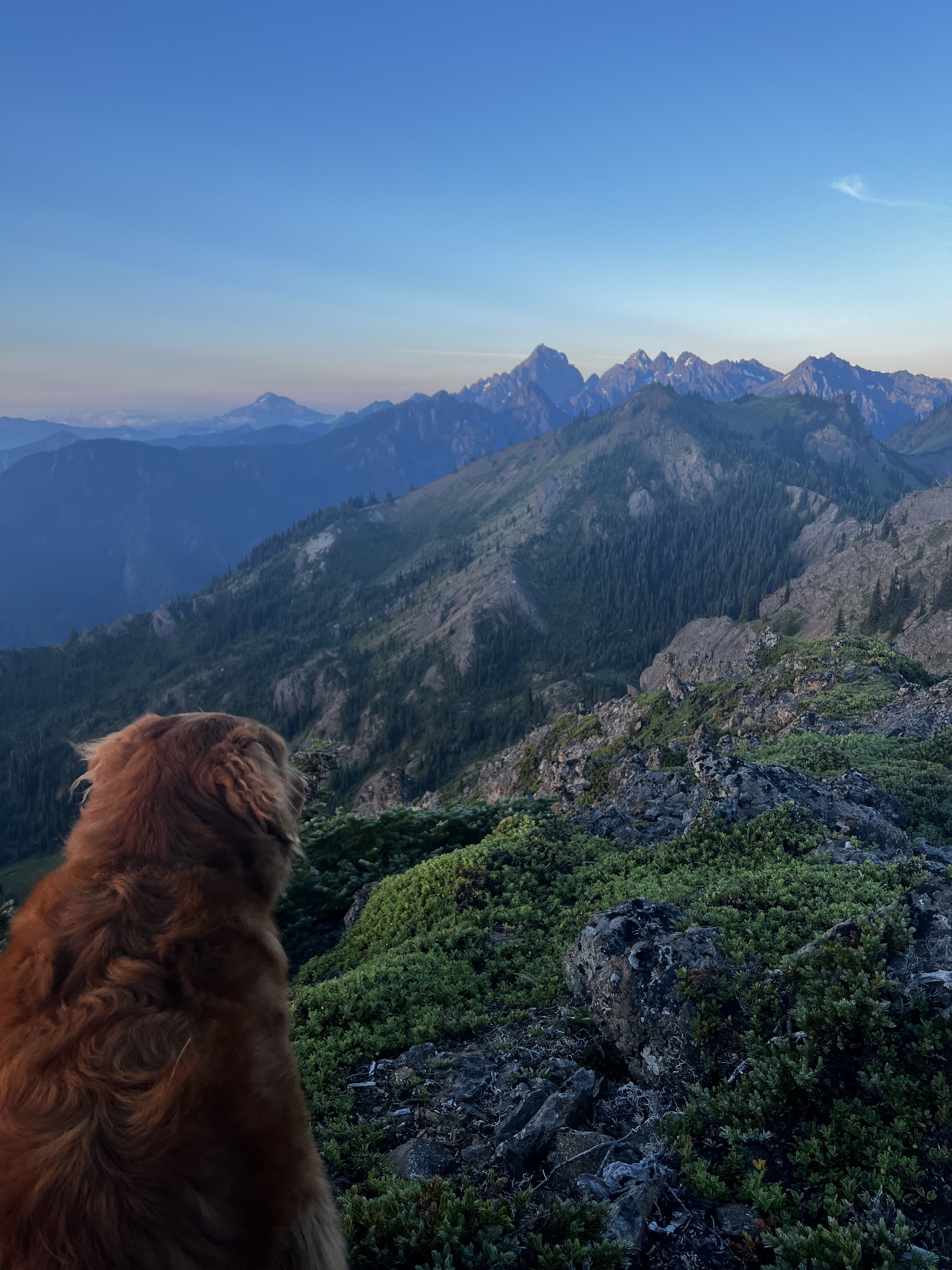
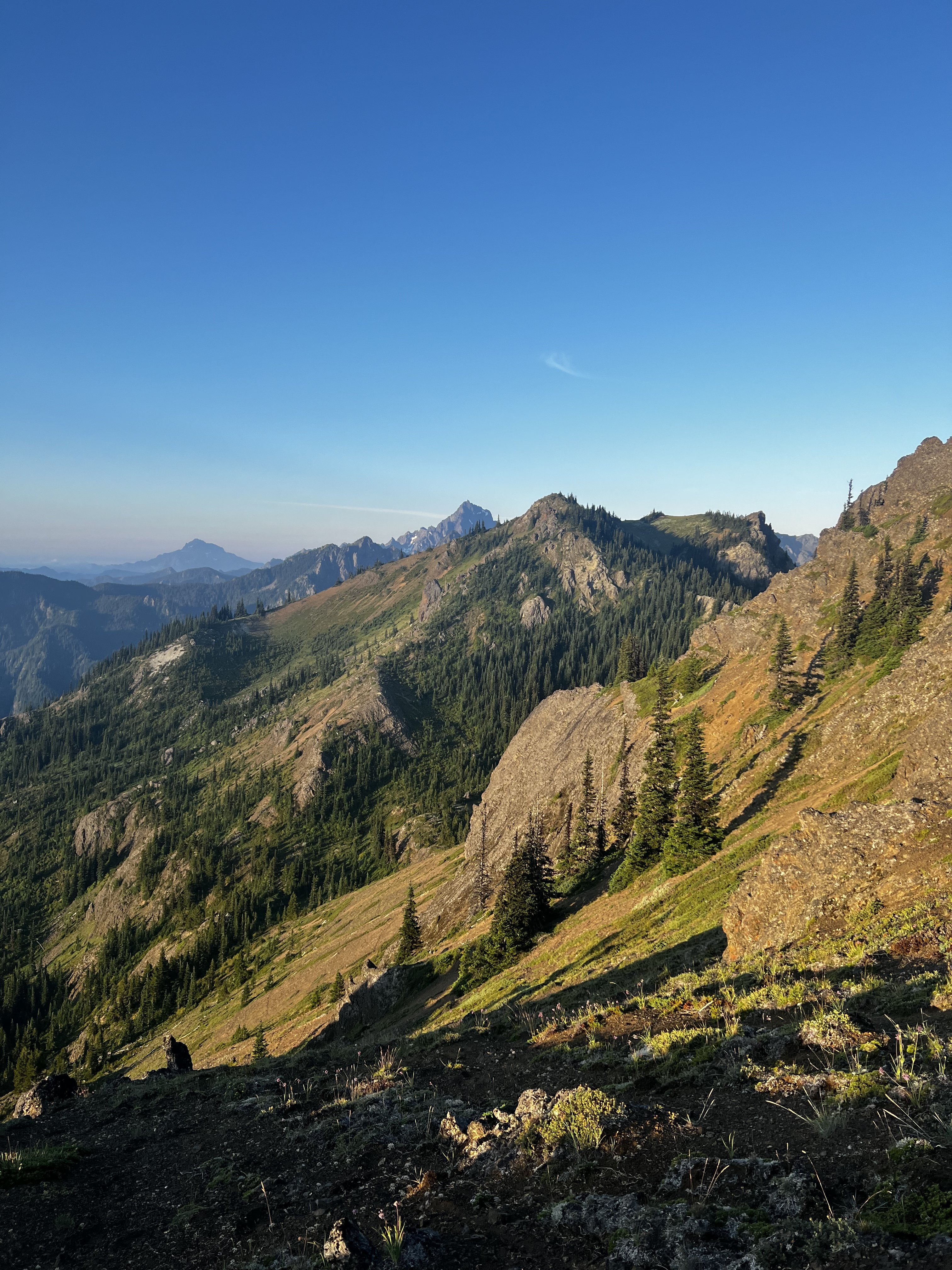
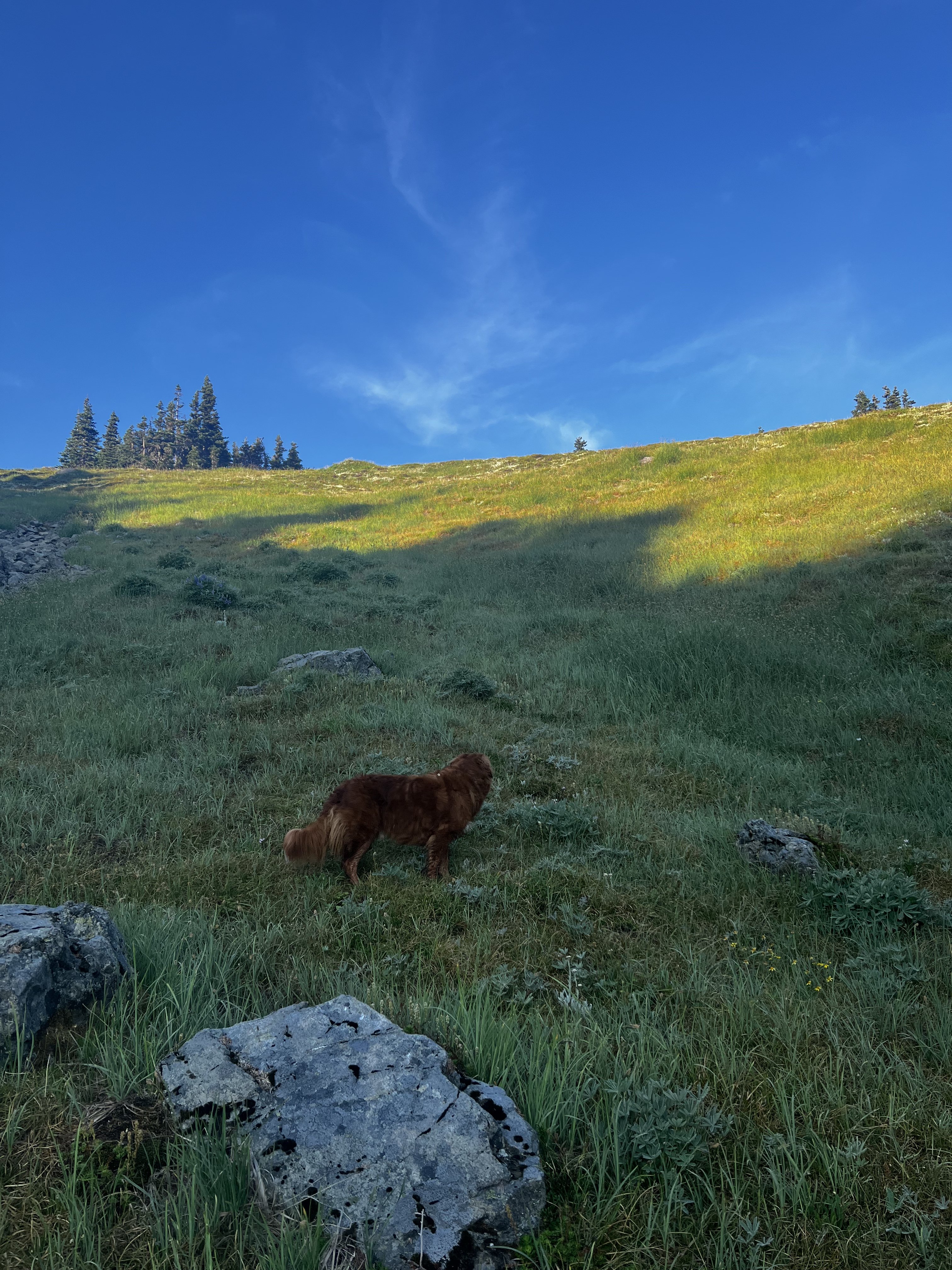
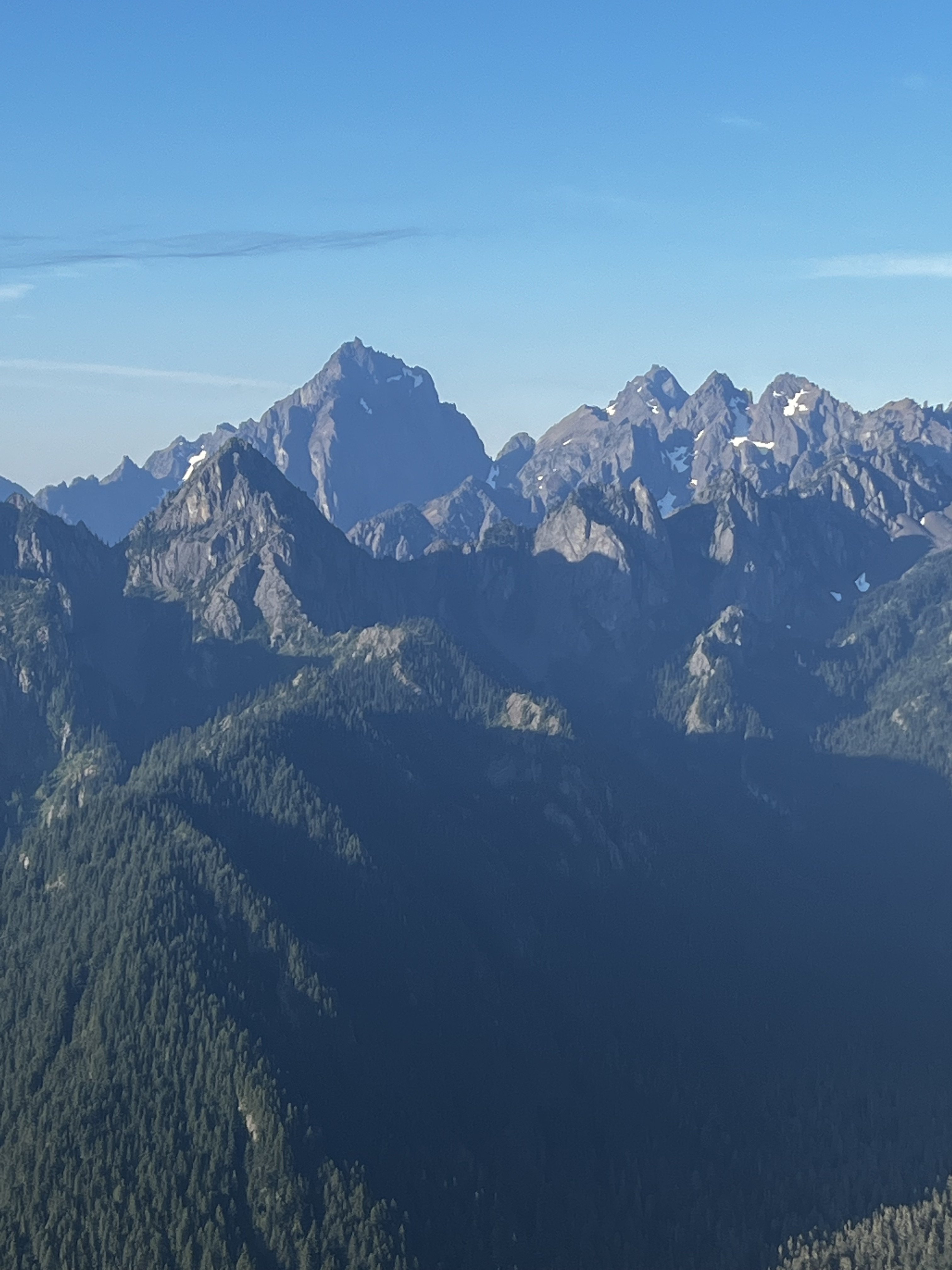
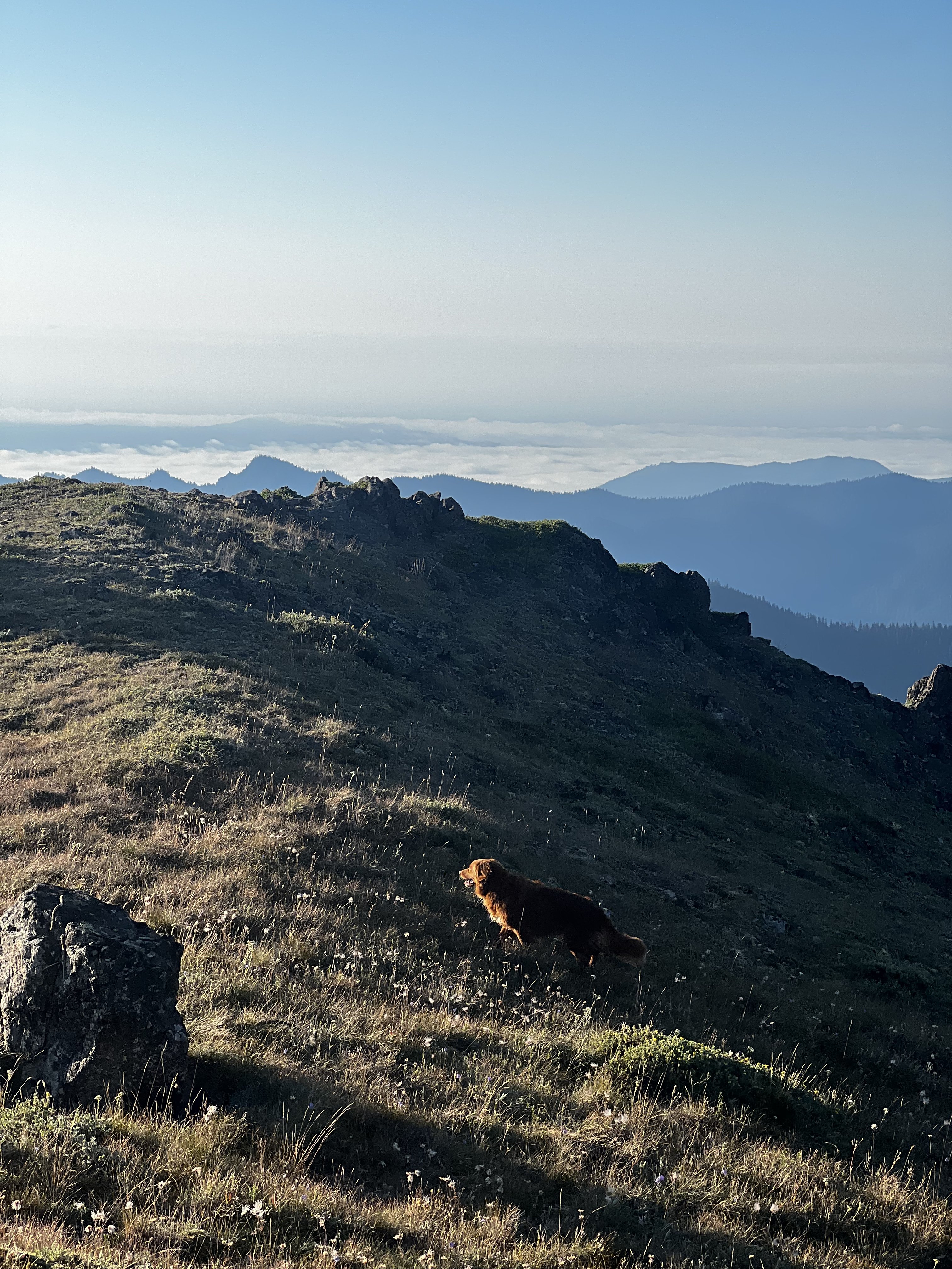
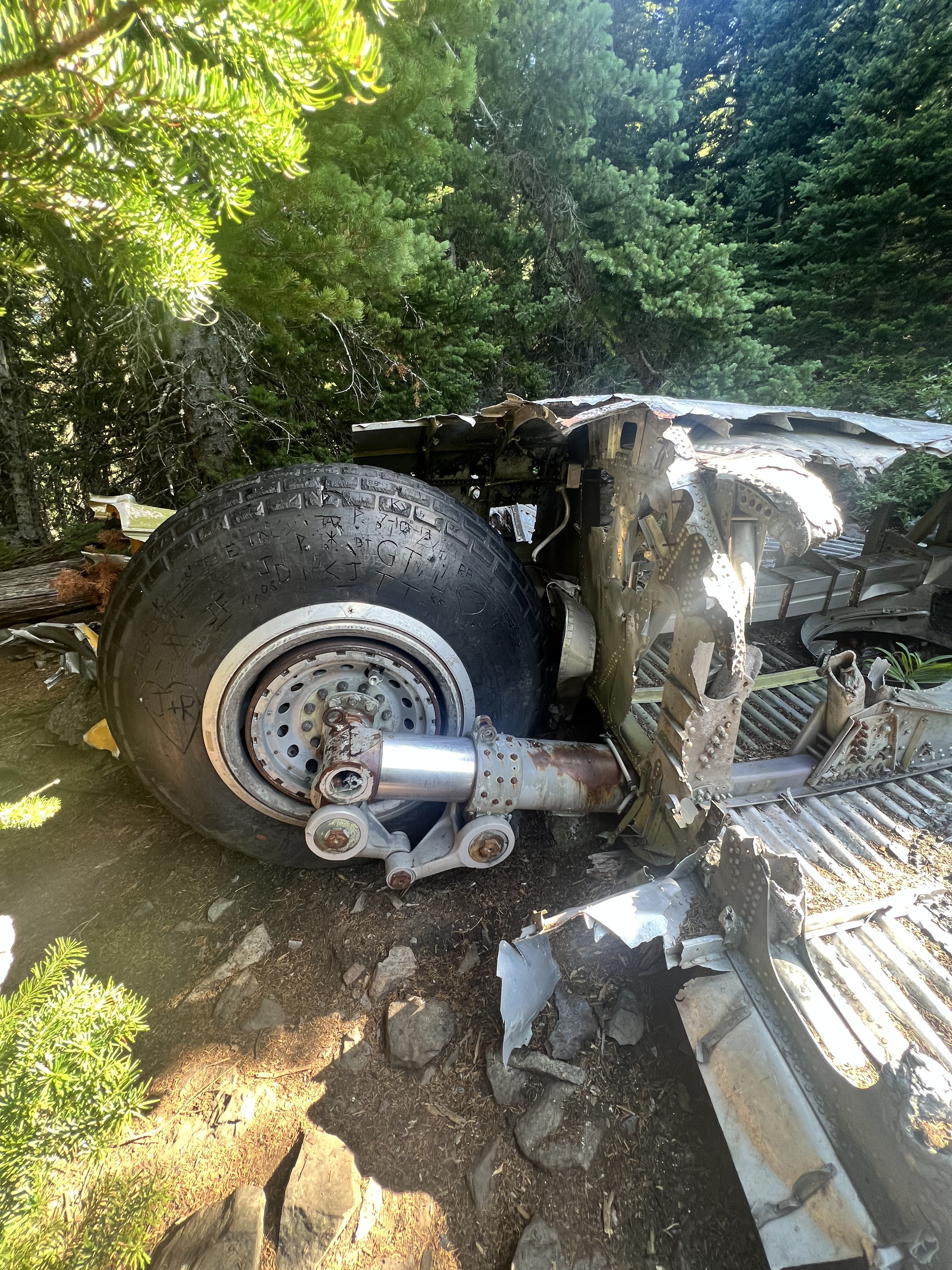
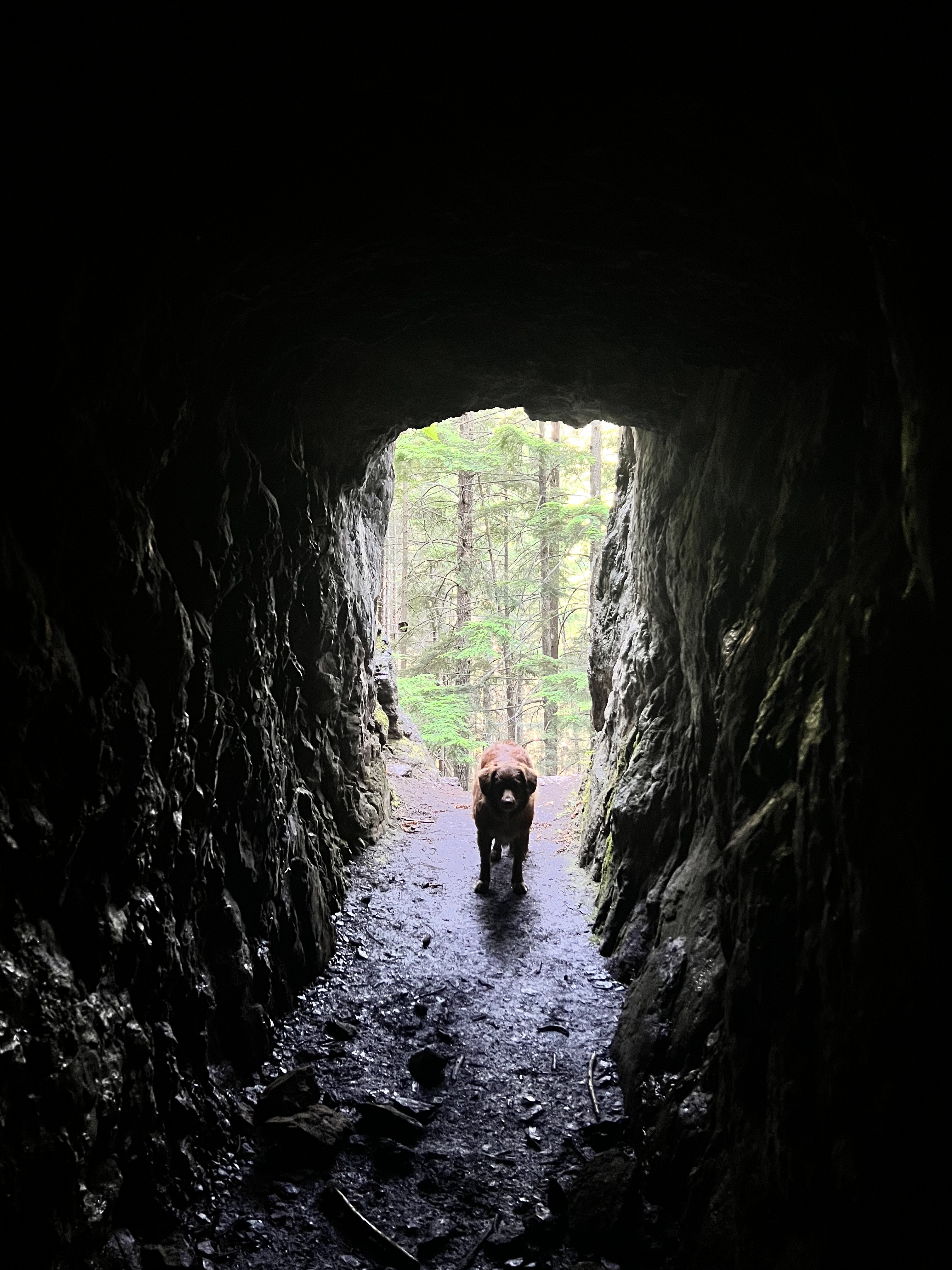
Trip: Welsh Peaks > Sillver Peak > Hawk Peak > Tull Canyon - traverse Trip Date: 08/20/2022 Trip Report: My climbing partner and I did this little traverse on Saturday morning. We camped at the Silver Creek trailhead, in a tent next to my truck. Every night, like Cato attacking Inspector Clouseau, my climbing partner tests my resolve. He waits till I'm most vulnerable and unsuspecting and attacks. I held him off again, this time in a little BD Firstliight. Later I saw a remarkable "shooting star"...a band of iight moving across the sky rapidly until it disappeared over the eastern horizon. I thought I had seen nothing like it before, but then I remember the Space Shuttle when it fell...it looked liked that, but just the one band of light. My climbing partner woke up at 3:30 and told me he was ready to go now and to stop fucking around, lets go. So I obliged and we got under way at 4am. We reached the summit of the taller Welsh peak right before sunrise and witnessed a glorious birth of a new day from there. Then we moved on our little high country traverse, following game trails and an occasional footprint, moving south, staying high on the ridge as possible. Eventually saw a couple down at Silver lake camped with their dog from our ridge vantage point. We continued on to Silver Lake Peak and then dropped down to the gap between that and the start of the ridge up Hawk Peak. There are several ways up Hawk peak, but we stayed on the south side as much as possible to soak up as much of the views of Constance, Warrior Peaks, the Brothers, Mt Anderson, Mt Jupiter, and others...truly a great vista. The Puget Sound below remained carpeted in clouds. We made our way up to Hawk Peak, which is an incredible vantage point. Then we left, but I forgot my trekking poles so we had to backtrack and go get them from the summit. We dropped down to the basin of Tull Canyon, which is very beautiful. Unfortunately you have to drop quite a ways before finding water, and not long after that we were at the plane wreck in Tull Canyon. You can read all about it here, a fascinating story. What I found most interesting is that only three of the crew died, listen to this account: We visited the wreck for a while and then continued down the trail to the Tubal Cain trail. We ran up to make sure the main mine was still open (it is!) Then we hiked down and out via the Tubal Cain trail, and then the mile back up to the truck. A fun 6.5 hours moving time/ 8.5 hours total. Milage was a little less than 15 miles (including back track to get trekking poles). We saw people first up by the plane wreck which appears to be growing in popularity like everything else....and there was a conga line going up Tubal Cain trail. Didn't go to the back of the main mine at Tubal Cain as my climbing partner wouldn't let me, but if you go up there do it...it's an adventure. photo dump: Gear Notes: trail running pack, trekking poles Approach Notes: drive to the end of the dungie road1 point
-
Trip: Good and Storm King - NE Butt, SW Route Trip Date: 08/19/2022 Trip Report: Me, @MGraw and Dave did the NE buttress on Goode Mountain and the SW route on Storm King over four days from August 19 to 22. BTW, that’s “gud”, not “gu·dee”, I don’t know what mountain some of you are climbing. Its named for Richard U Goode of the USGS, and the mountain is pronounced like the name. I’m just writing a quick report to get the info out there. We used beta from Steph Abegg, Climber Kyle, and occasionally Fred Beckey and it went great, so I wont post too much of that. The route finding was generally very straight forward the whole trip. We started out at the permit line. It was waaaay better than in years past, but still long. Then we cheated and drove to the Bridge Creek Trailhead for the hike in. I used trail runners to the junction with North Fork Bridge Creek Trail to save my feet 20 mile of hiking in approach shoes… worth it! Trail after Grizzly Creek (short): The creek crossing of North Fork Bridge Creek was easy but cold, then straight up from there per Kyle worked amazing. Literally NO brush to get out of the valley bottom. Wow. Approach From North Fork, just go up: We took the wrong buttress up the last portion of the approach and missed the two established bivy spots. The “5400’” bivy at 5500’ or so was occupied, but I looked down and saw the 5700’ site from above. We made a new spot on a slab and gravel at 5970 on a different rib. For next time, you have to scramble up the obviously easiest rib two or three left of the prow that the path leads you up to. This was our only real route finding hiccup on the trip with somewhat minimal research. All of Goode is amazingly complicated sounding, but is really just follow your instinct from North Fork Bridge Creek to the summit. It took us 8.5 hours car to camp I think. Just up from camp: The next morning we walked like 100’ up to the glacier were we easily walked on on low angle firm snow. We had only snow the whole way, no proper ice. The glacier was pretty easy to navigate from there, one big zig zag to get above the cracks at 6700’. The feared moat was just a couple of steps down on blocks to 3rd class rock. We got lucky hear I guess. I think this wat at 6730’. On route: We scrambled a 3rd class ramp to near the crest, then started simul climbing. Mike lead out and lead a 1200’ simul pitch to a 5th class step where Dave took over. Dave missed a move to the right of the ridge and lead up a tough 5.7 spot with no pro (except our now fixed nut above the difficulty). Stout lead in hiking boots dude! Me and Mike followed in approach shoes, wondering the whole way why he didn’t move off the ridge crest, it was aesthetic though. As much as its tempting to lead the crest, any time it gets tough you can break off. The climbing was great the whole way, never hard (except that one spot) but interesting always, all the way to the summit. I clipped my last sling to the summit rap station to finish my simul block. It was hazy so we didn’t stay too long. 3 raps to some shenanigans to the notch (I’m not sure if there is a good way to do the last rap, but it involved a quick belay for us from the bottom of the rap). Then 2 more raps in the gulley. Skiers right side of the gulley was much better than down the gut, not bad at all. Soon we were in camp on an awesome slab amongst heather at 7600’ just left of the rib. I highly recommend this spot, the slab was perfect for victory lounging. 10ish hours this day. Camp: Brief shower in the evening: The next day we traversed to Storm King and followed the standard beta to the notch. Scree slog, up the gulley to the right of the one with the obvious horn. The one with the horn had a rope that appeared to be fixed for a rap. I’m not sure why you would do this unless you just didn’t want to carry it out. Please don’t do this, it’s just trash now that no one want to take out. Descend your ascent route and take everything home with you. I really hope there was some extenuating circumstance here, but I can’t think of what. We scramble traversed the obvious ledge from the notch for 200’ – 300’ horizontal then scrambled up 3rd -4th class to the summit. The beta here was complicated but the route very simple. Ledge: Reversing the traverse to Storm King, Goode behind: Then down, down, down. There is a path from the little 7440’ knob just SW of Goode leading down the rib to the valley bottom, it comes in and out, but just stick on the crest next to the creek. We hiked out to Park Creek Camp for about 9 hours on the move. Up very early the next morning to beat the heat for 6ish hours to cover the 15 miles to the car and beer that was still as cold as the Rockies! Wow! An amazing trip with way more down time than I am used to. Glad I had good friends to share it with! A classic for sure, though not enough brush for it to be truly a Cascade classic in my book. Nor enough loose rock. OK, so not so quick a report, but it was a really great trip. Gear Notes: 2 30m rope, aluminum snow gear, approach shoes, single rack 0 metolius to #2 C4, like 15 slings Approach Notes: Long but easy. The trail was brushed out except for a little bit after Grizzly Creek.1 point
-
Trip: Mt Stuart - West Ridge Trip Date: 08/20/2022 Trip Report: What a classic route, total type 1 fun climbing at its best. My wife and I climbed it over two relaxing days last weekend. Beta is plentiful, so here’s pics. Headlight basin, one of my favorite approaches in the Cascades. Ingalls Lake, last flowing water until the next day. We’re going here! Starting up the super fun 3rd/4th class Staircase. Looking across to Long John’s Tower. Intimidating to look at, easy to scramble up on the right. Settled in for a high bivy above LJT notch. The alpenglow from the setting sun was incredible. We stayed up late enjoying the ambiance and watched the stars and Milky Way come out. Then the weirdest thing, a long string of lights moving steadily across the night sky then disappearing made us question our reality. UFO? Turns out it was the same thing Oly saw over on the peninsula: https://westseattleblog.com/2022/08/heres-what-that-bright-streak-in-the-sky-was/ Lazy start in the morning. Snow available for water near the West Ridge Notch. Somewhere on the summit block, maybe pitch 3? It all seemed pretty mellow follow-your-nose easy 5th climbing. Summit! Saw several folks up top, one soloist who started from the car about the time we were waking up (an impressive 4 hours up the WR), two guys attempting the Stuart Range Traverse to Asguard in a day, and several scramblers up & down the Cascadian. The descent was less enjoyable, Katie's first time experiencing the Cascadian and she said she wants to downclimb the WR next time. Finally the slog up to Longs Pass gave us a parting view of Stuart and the route. Back at the truck, tired but mentally refreshed as always. Gear Notes: Rope and minimal rack. No axe or crampons necessary. Approach Notes: This field is required?1 point
-
Glad to see that Doug's Direct is still is use. Doug would just smile and say that it "seemed pretty trivial, don't ya think" with his South Carolina accent. The last time we had lunch together he picked my brain about our trip and my trip report (from 2004?) where we christened the ridge crossing. As I recall, the Mounties had asked Doug to describe Doug's Direct for a revised version of green Fred. For what it's worth, I still think Doug's Direct is objectively safer than down-climbing the CJ Couloir. Jim Nelson, Bob Davis and I nearly got the chop in the couloir after climbing the NE Buttress in July 1999. And of course we were "overdue," there was a helicopter with Kelly Bush following "congressional involvement," blah, blah, blah. My Kingdom for a Cell Phone. In any event, RIP Doug.1 point
-
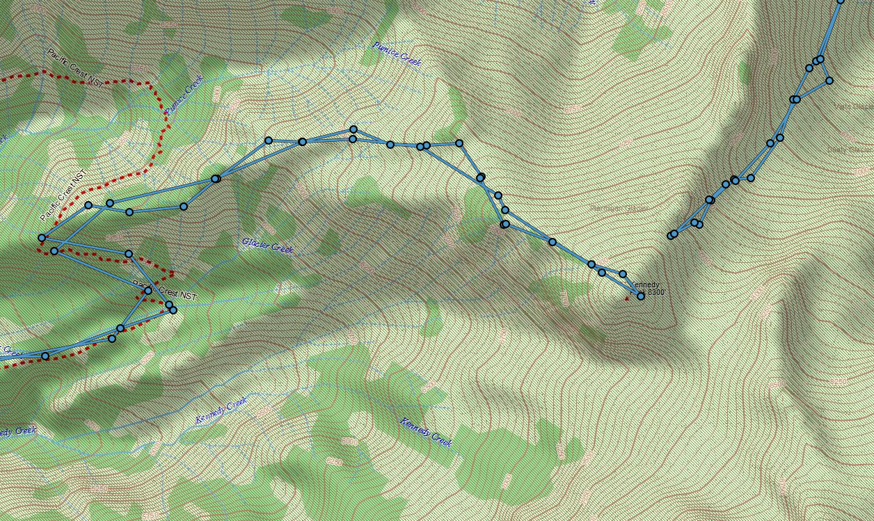
Hah, that was me!! Sorry I made it sound ominous, I thought the route looked excellent, I was just out of sorts, inconveniently emotional. So delighted to see you guys made it (kinda making me wish I continued), thx for posting Beta for other potential soloists: if you aim for Kennedy Peak, you can walk between it and its subpeak (looks round on a topo map, but there are two spires). Then drop down to a saddle (my intended campsite) and head SE from there on crevasse-free snowfields to the ridge. Though this involves a bit more elevation waste, it avoids just about all glacier travel on approach, and the glacier you do get on (around N side of Kennedy Peak) is pretty tame. I would probe though, you can see minor crevassing in late season satellite imagery. Tracks below show that and also a misguided attempt in 2019. Third time's the charm for me? View of Kennedy peak (highest point of skyline): View of snowfield you'd use to gain the ridge (center of image) from Kennedy Peak: Another advantage of this approach is that you'll spot the elusive PNW parrot.1 point
-
I can't comment on that glacier, but based on observations of glaciers in the Forbidden/Sahale/Eldorado zome a bit further South - and phtos from the Pickets a bit further East, I would say you should expect seasonal snow is almost all gone and there will be bare glacial ice to contend with. FWIW, the Price glacier is one that most people stay away from due to the objective hazards of falling seracs. That's not my cup of tea, so perhaps others will have comments to add.1 point


