Leaderboard
Popular Content
Showing content with the highest reputation on 08/22/22 in all areas
-
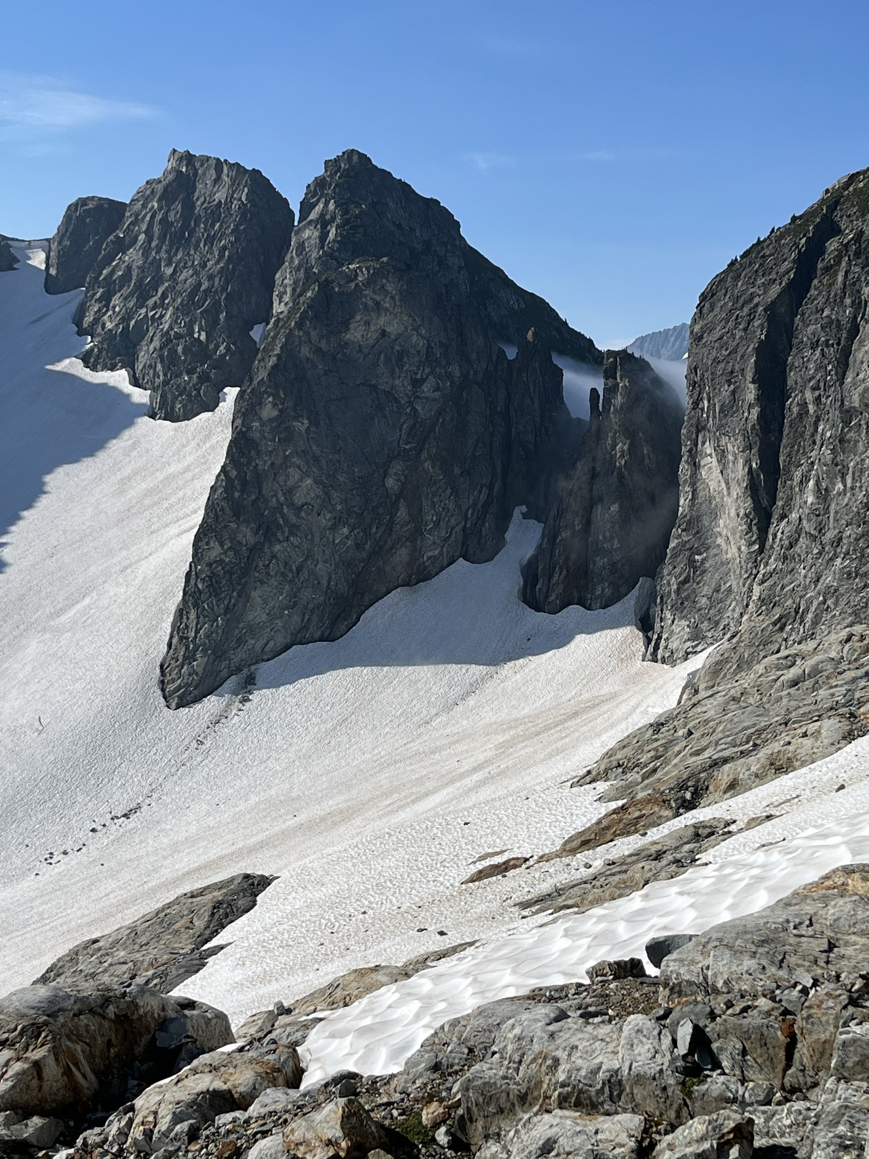
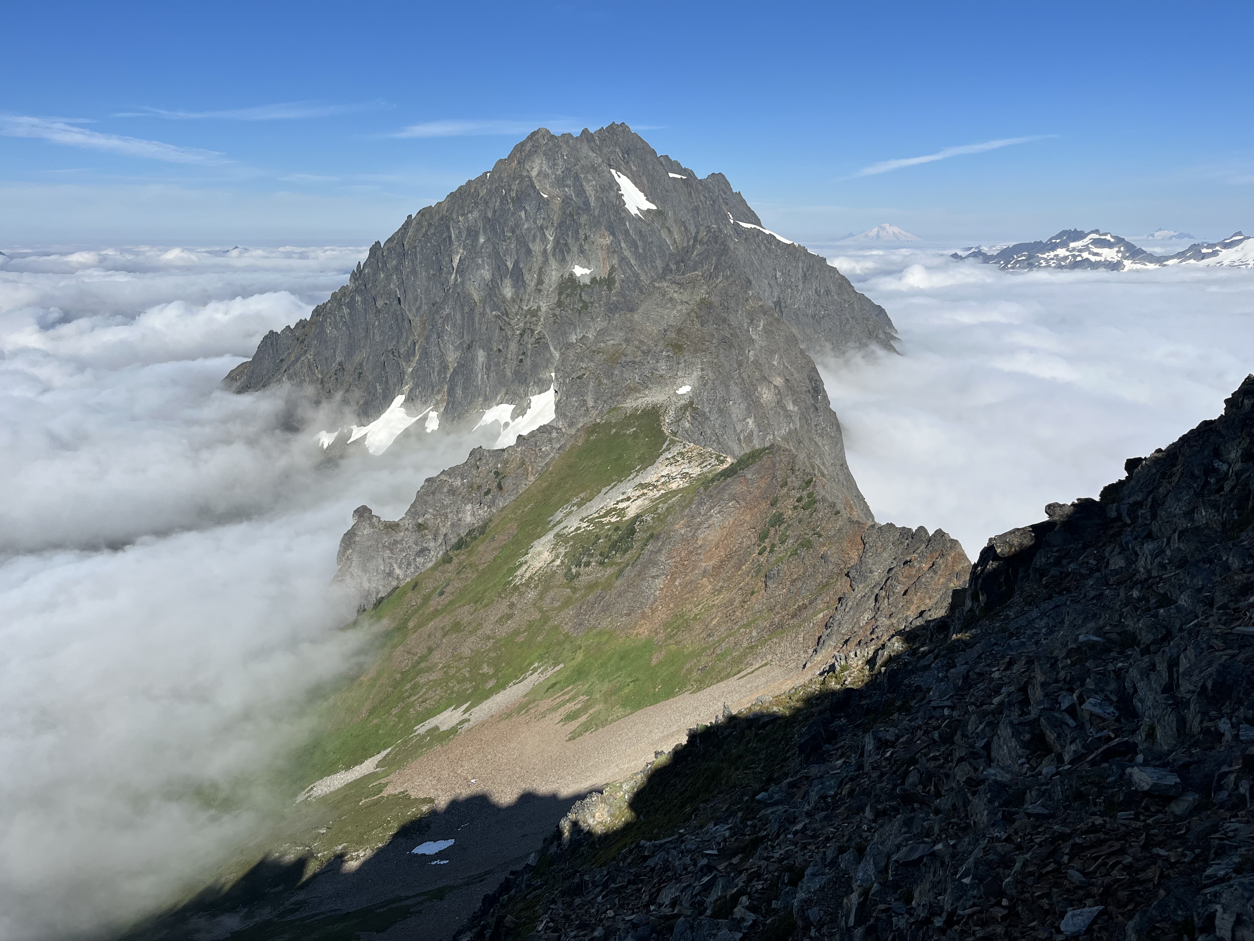
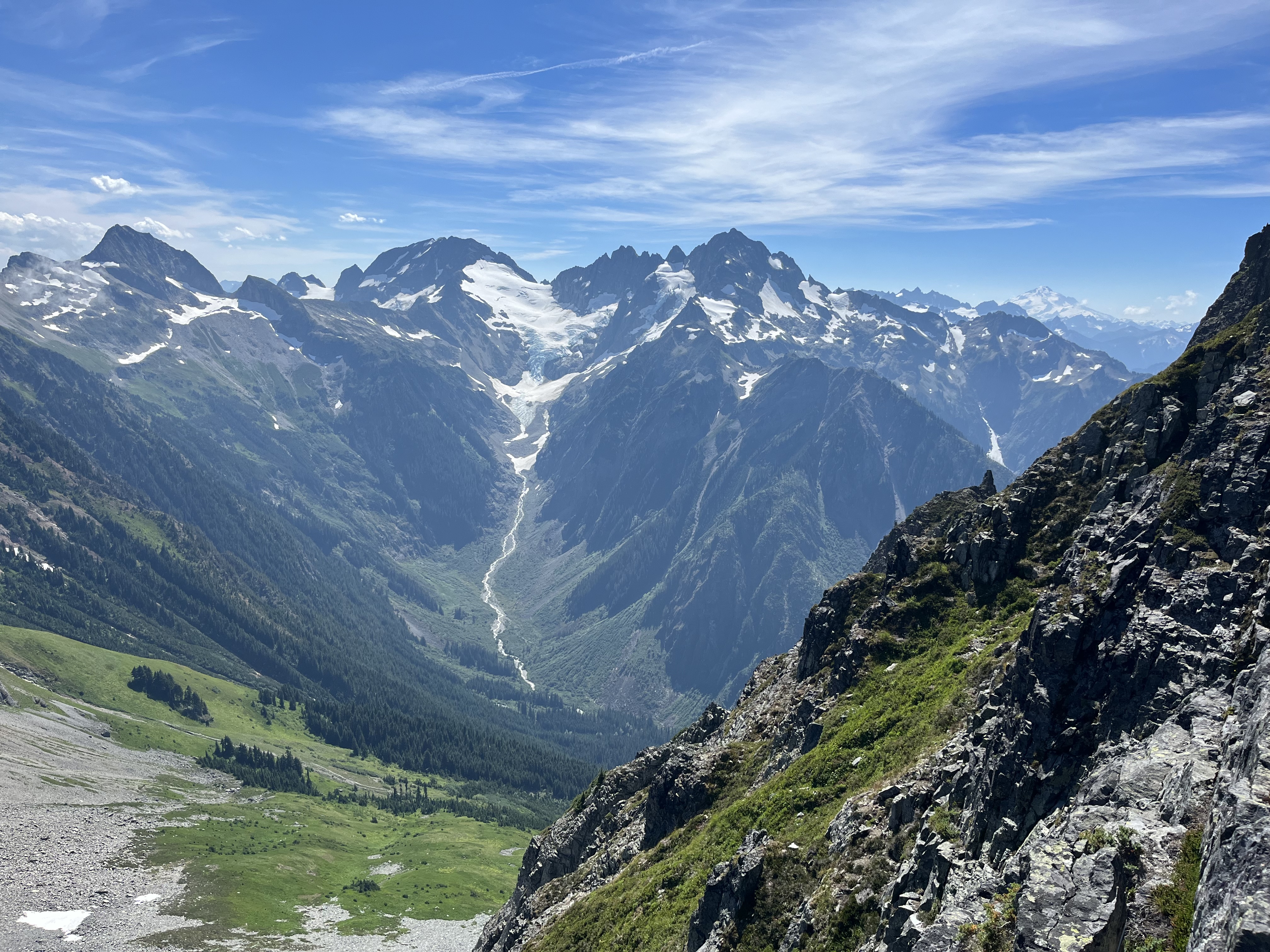
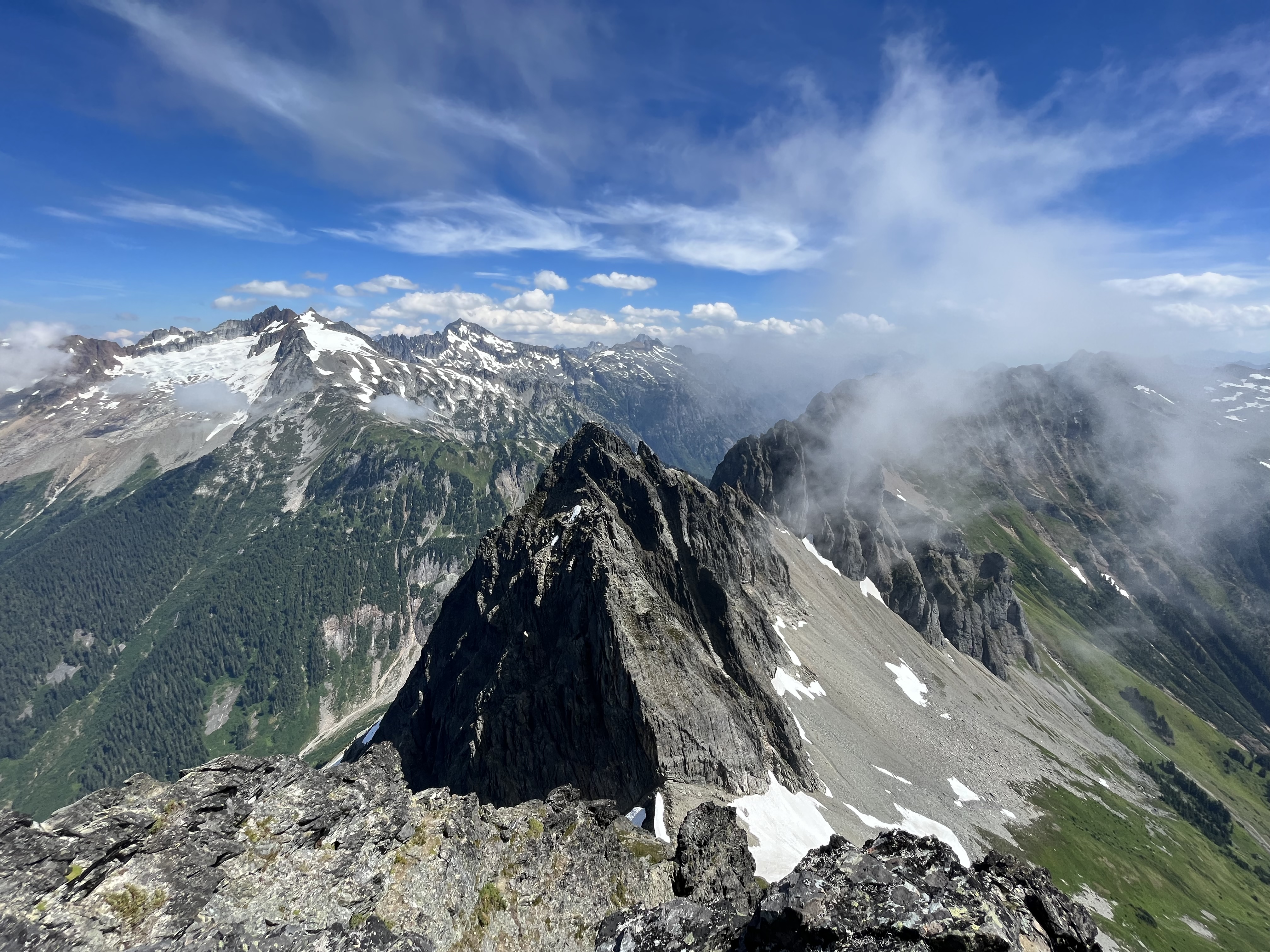
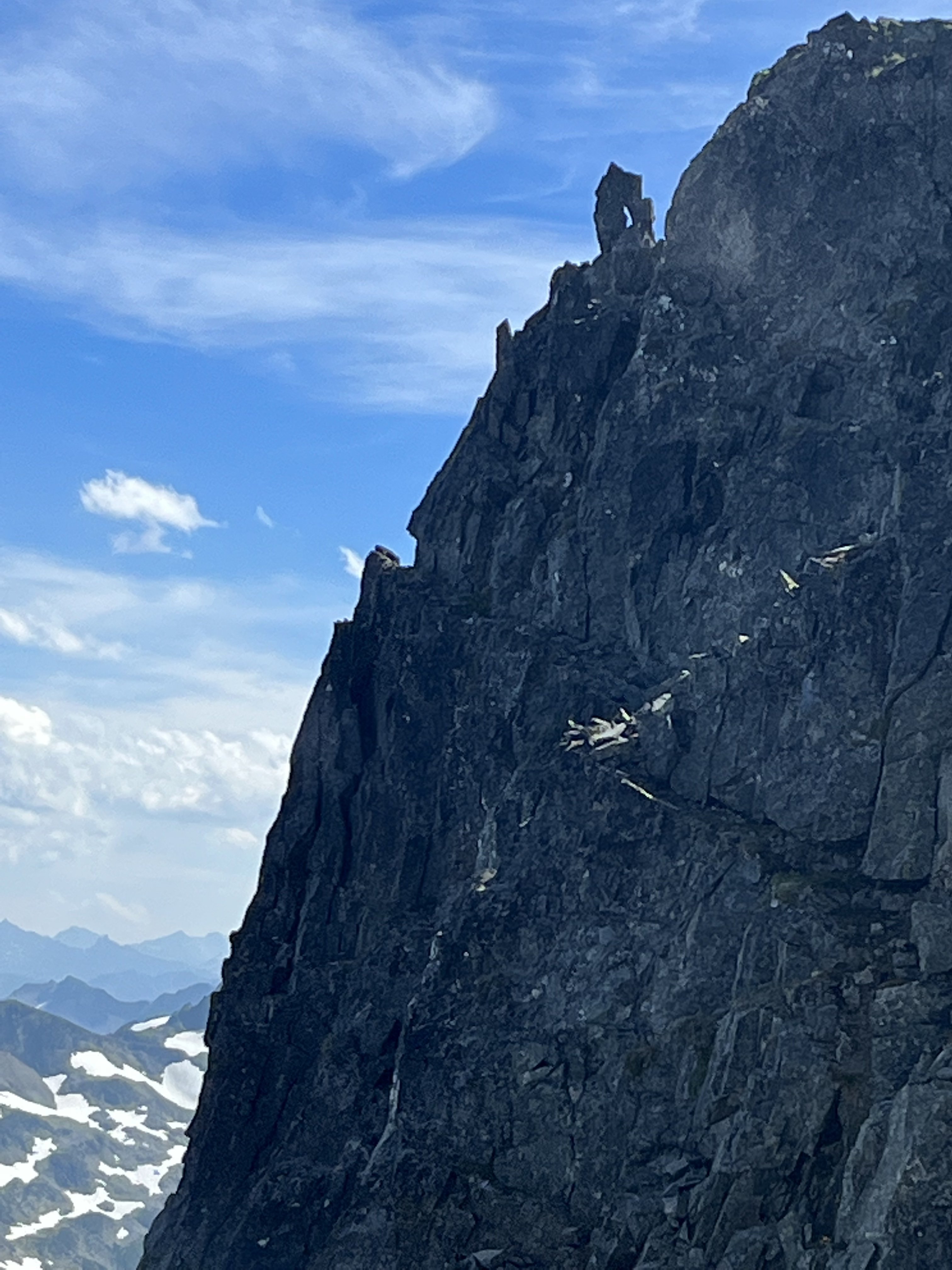
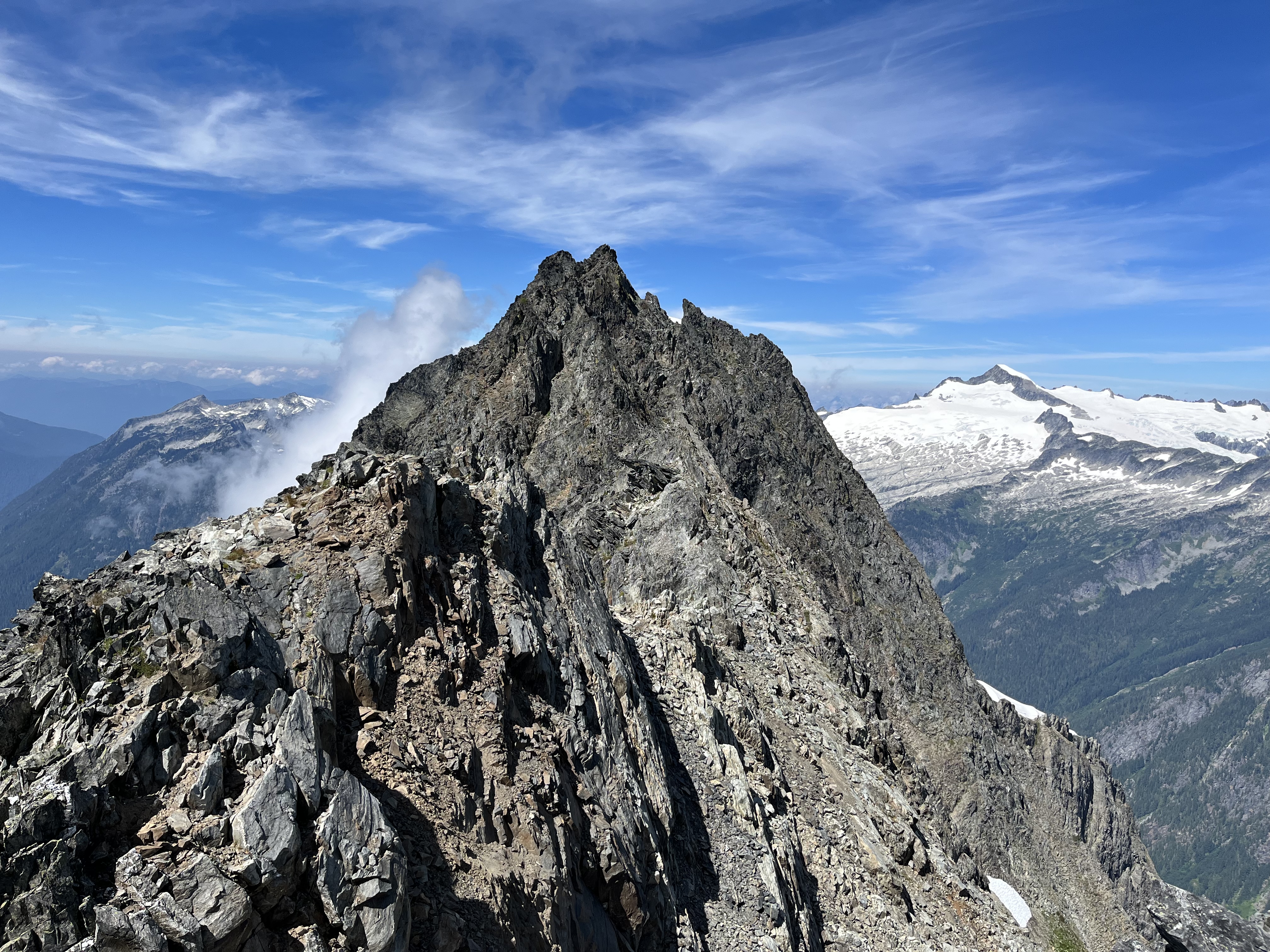
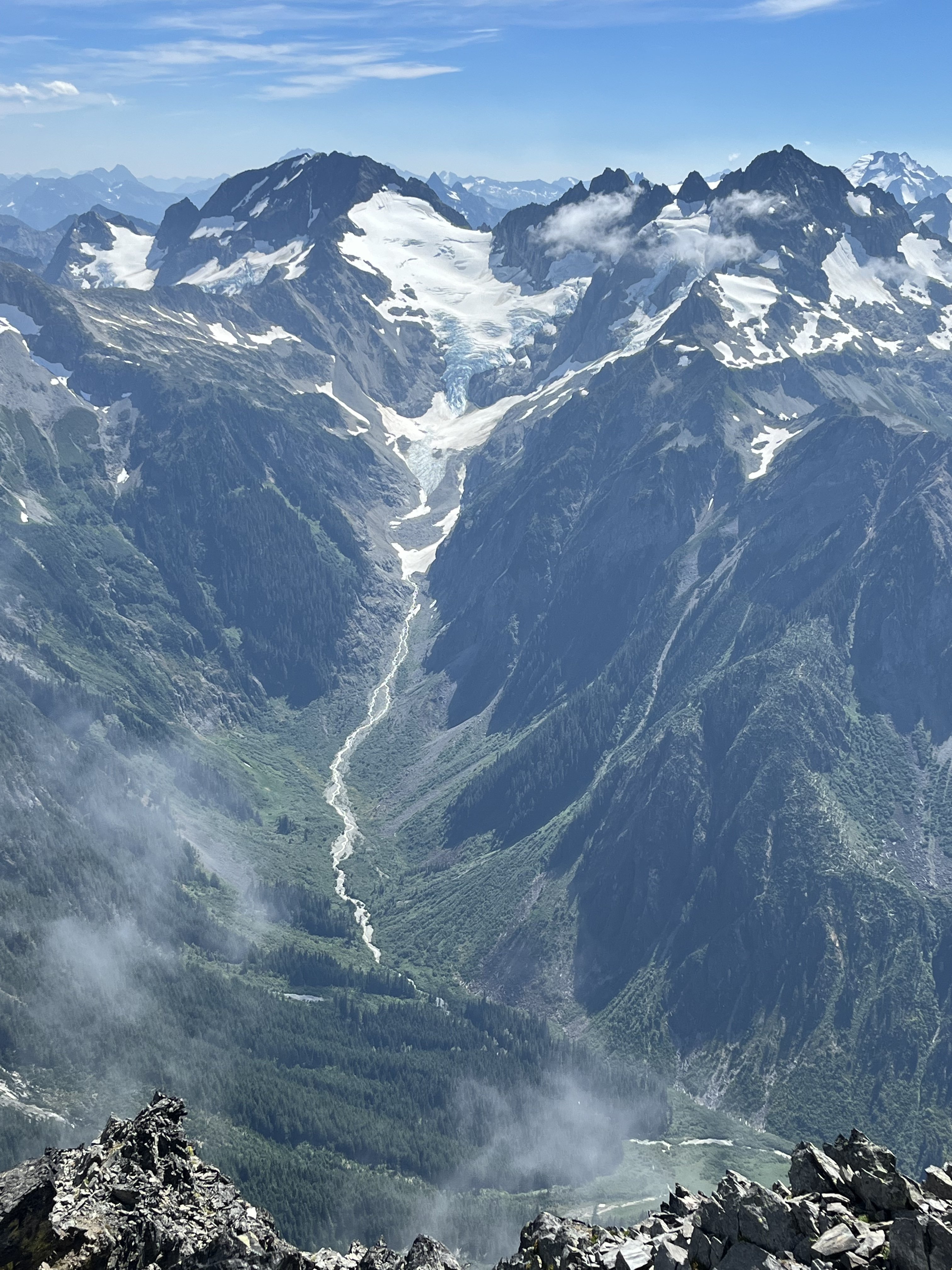
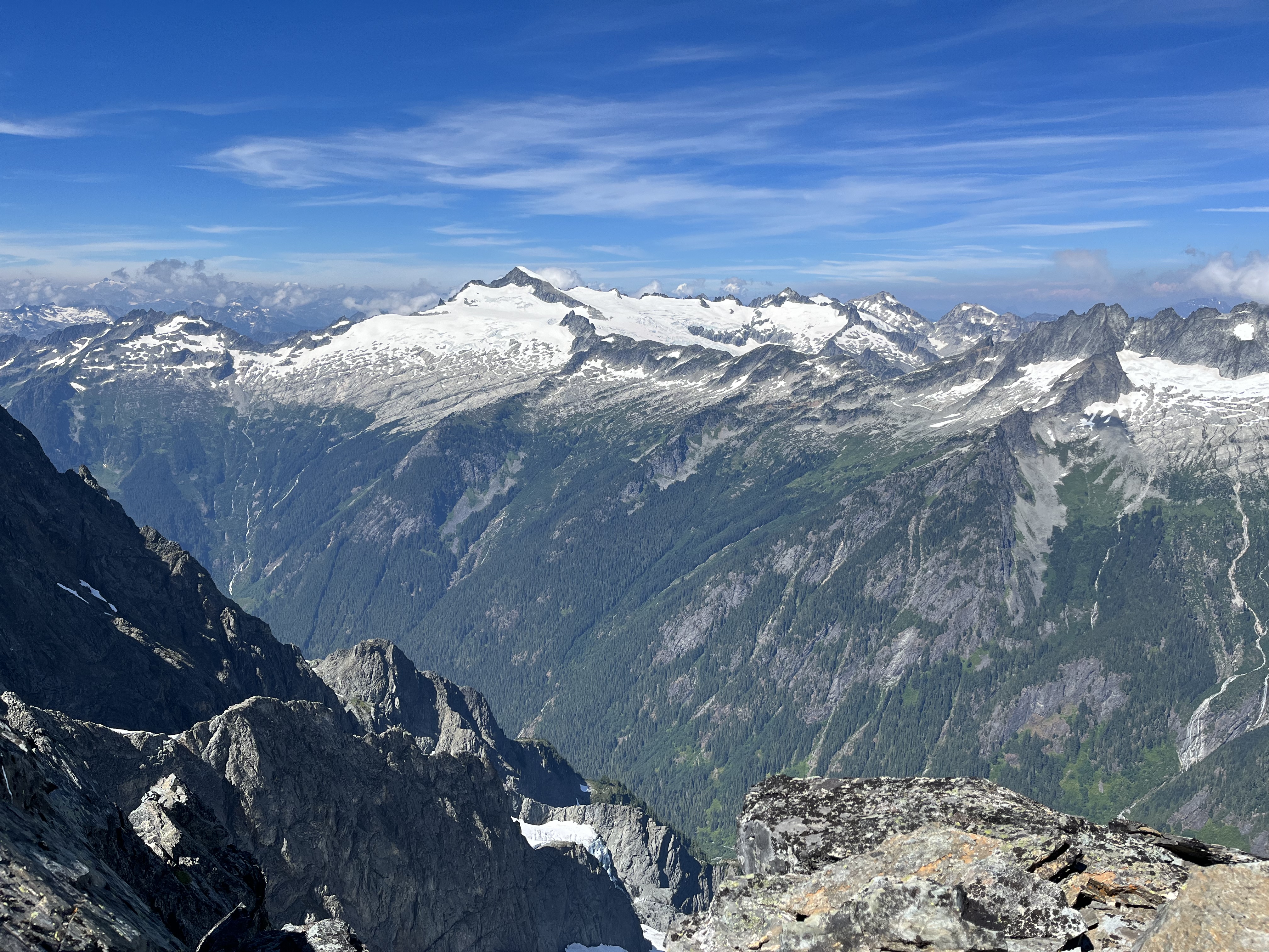
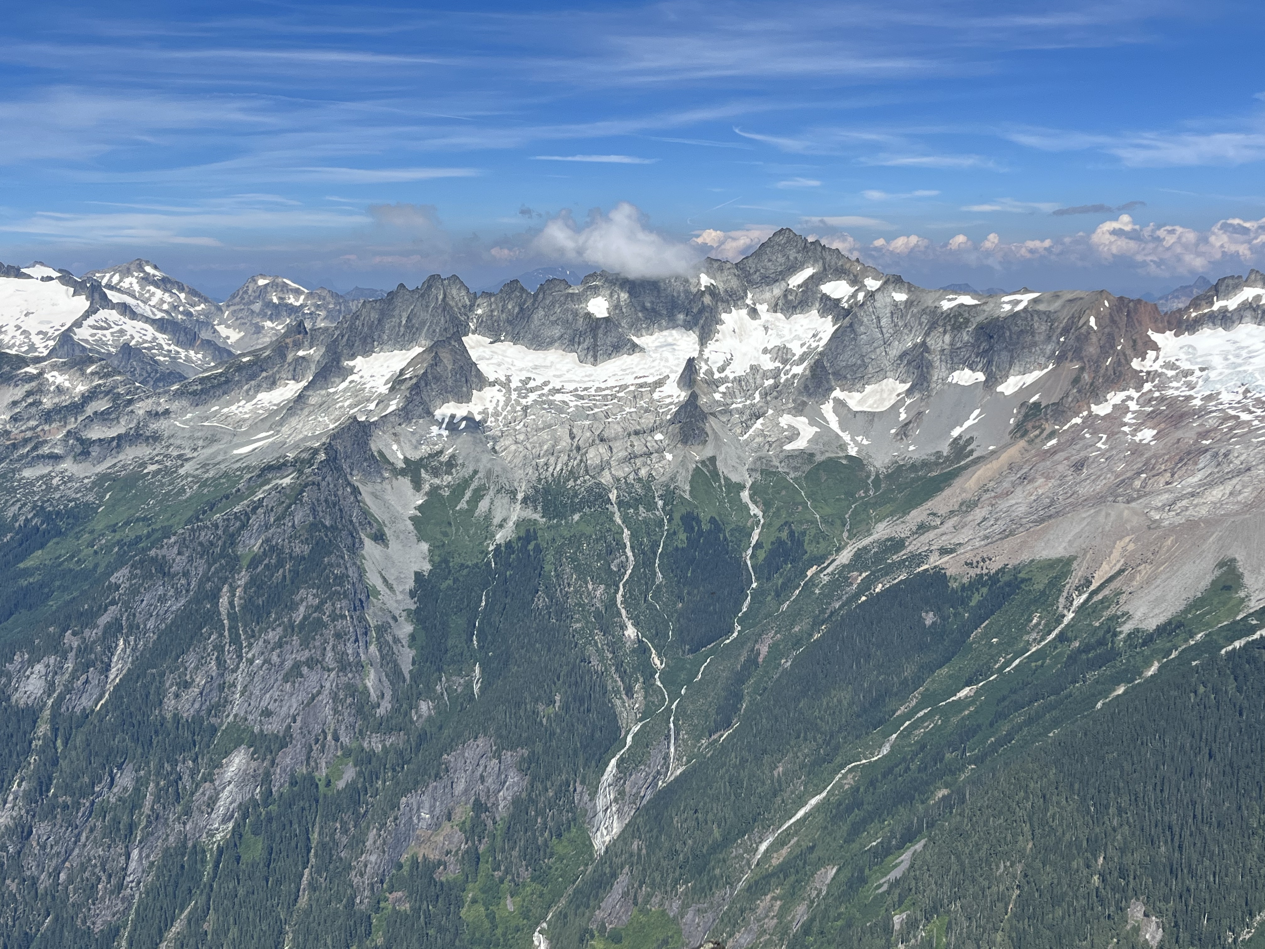
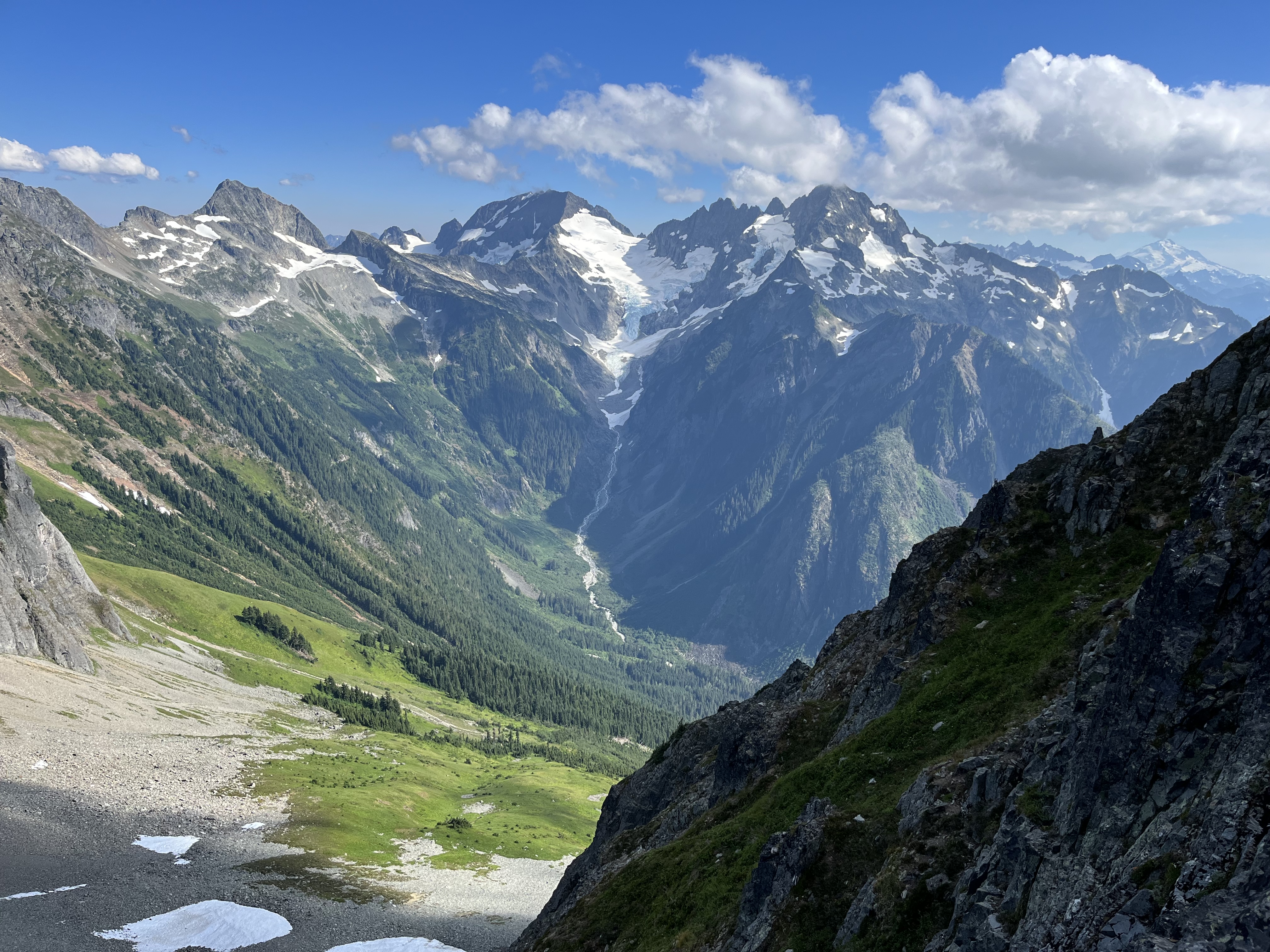
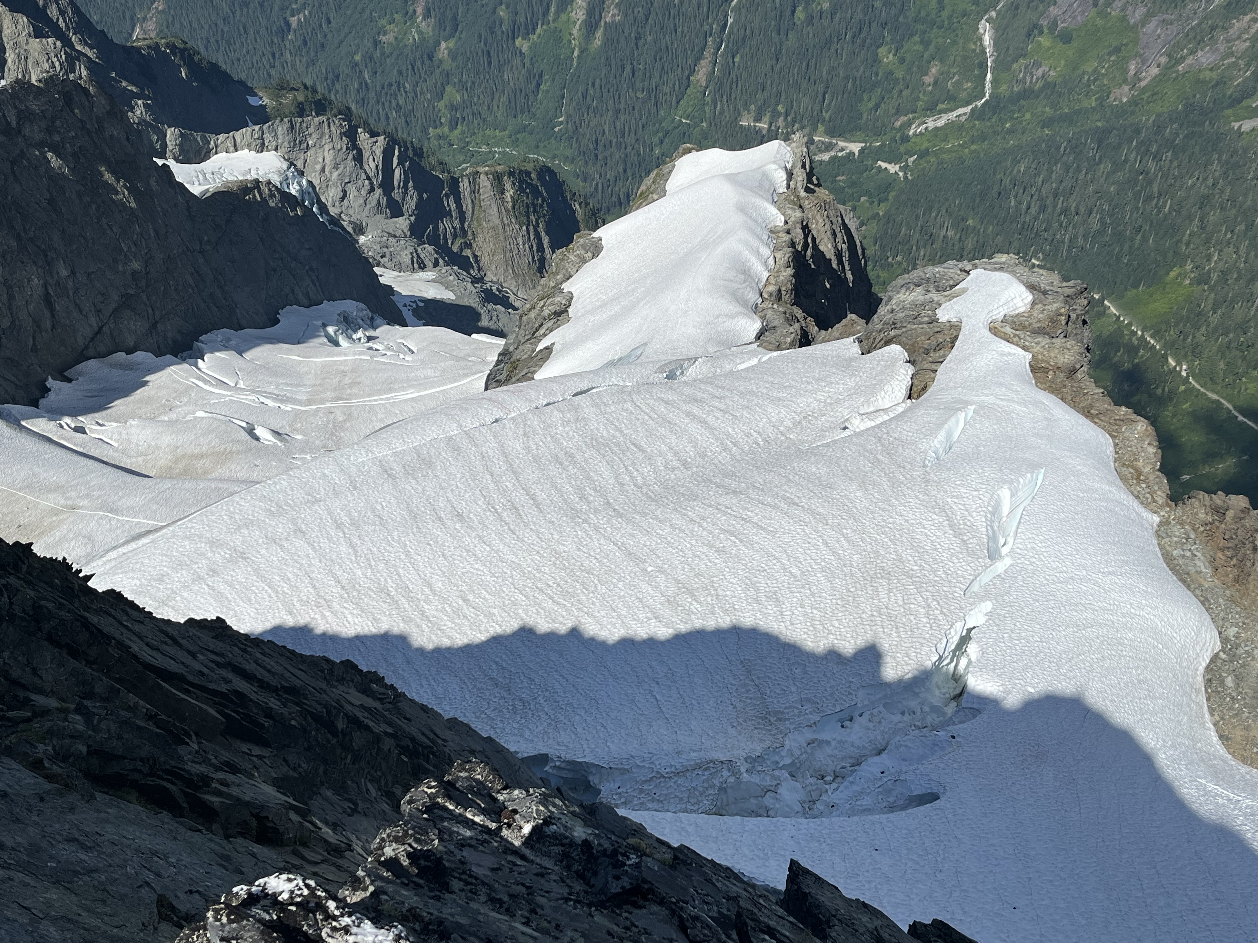
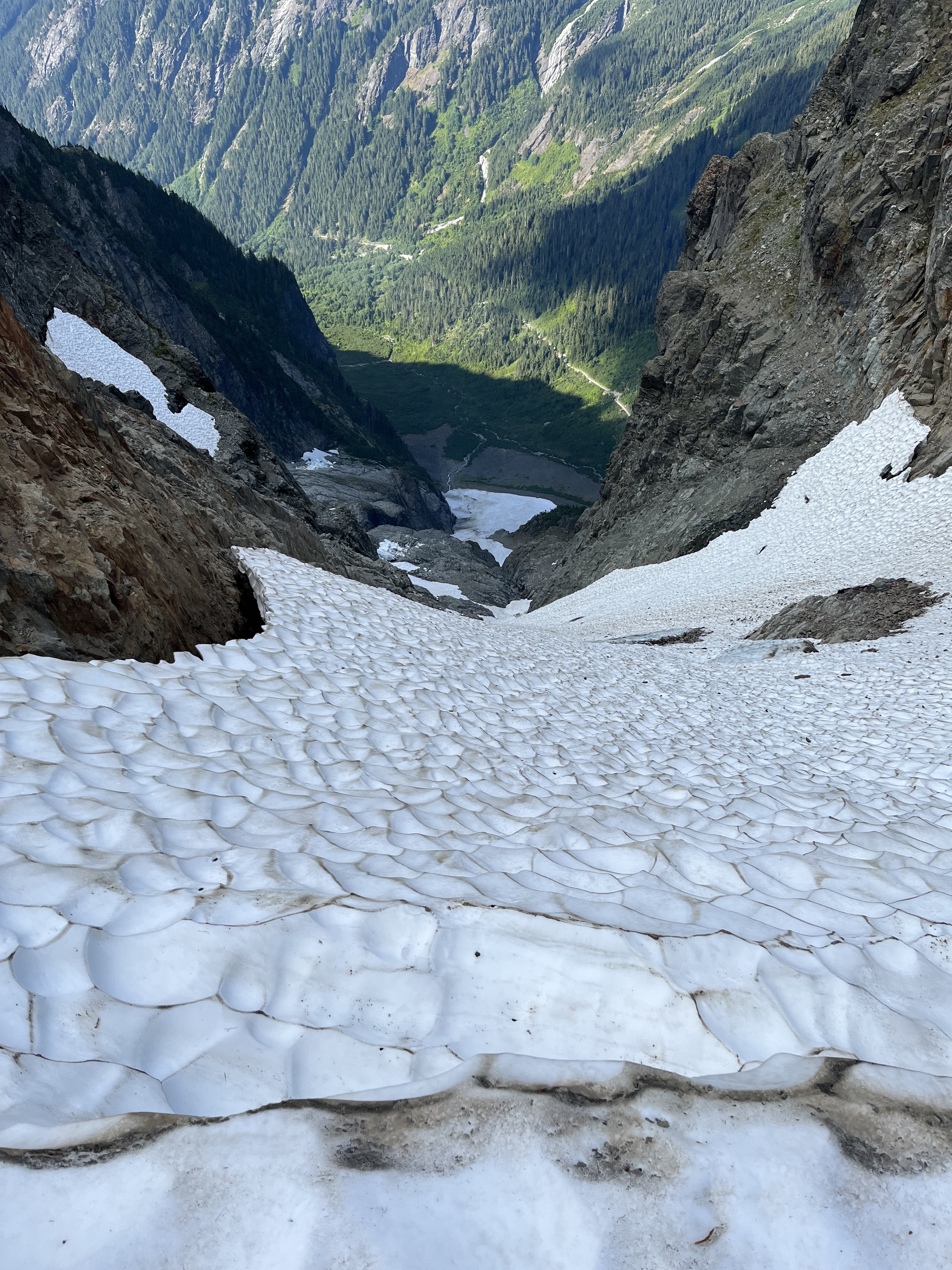
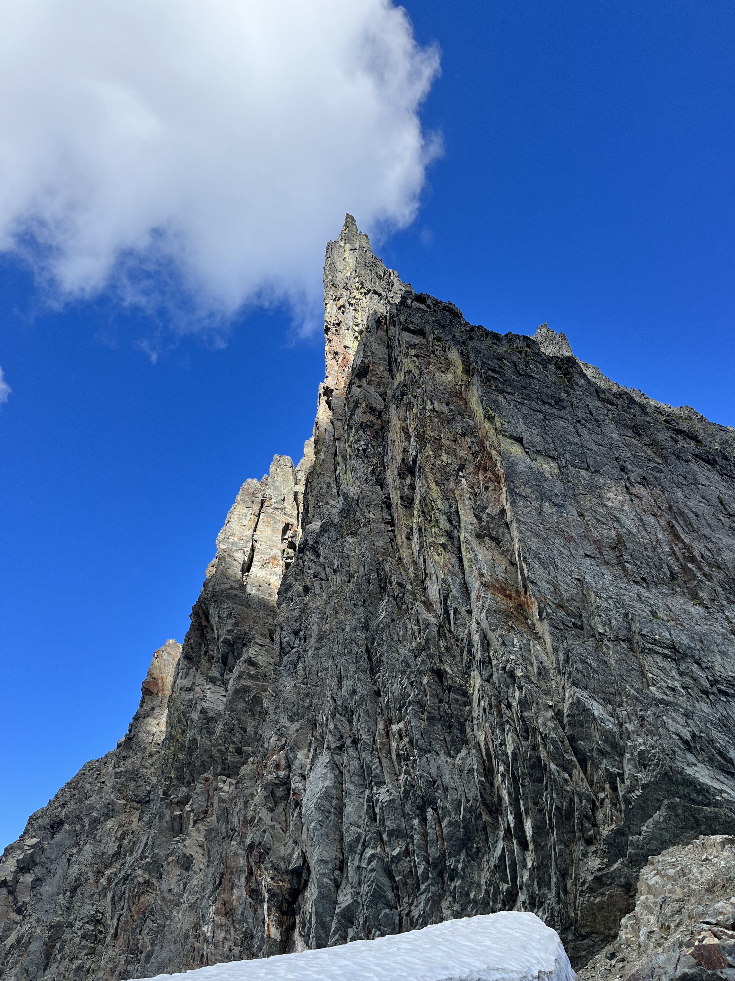
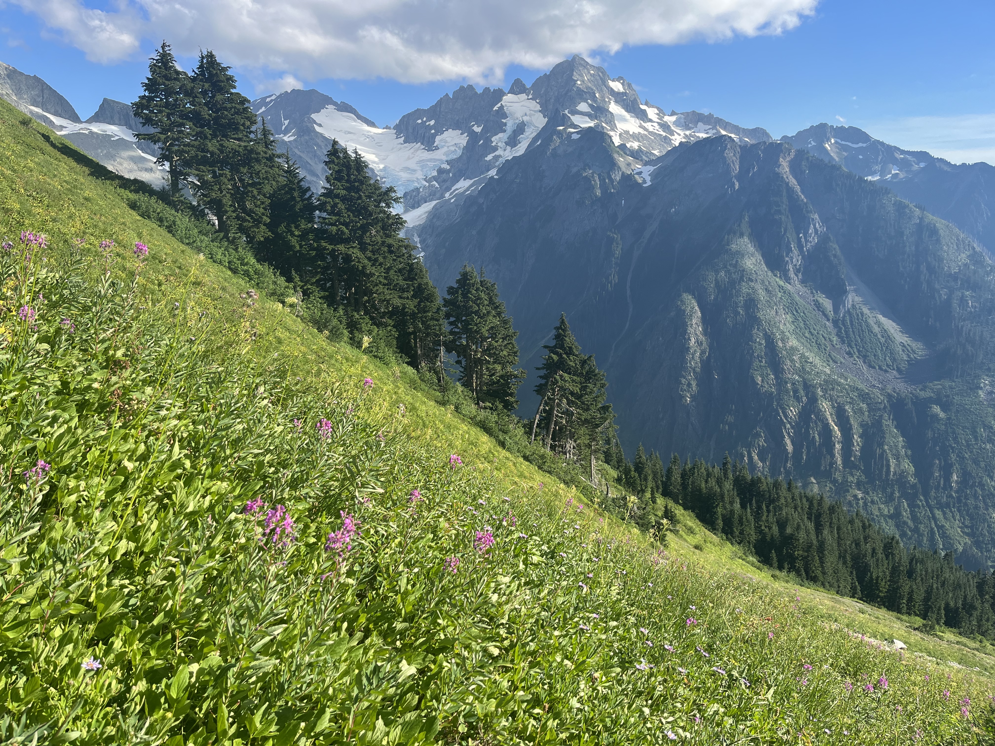
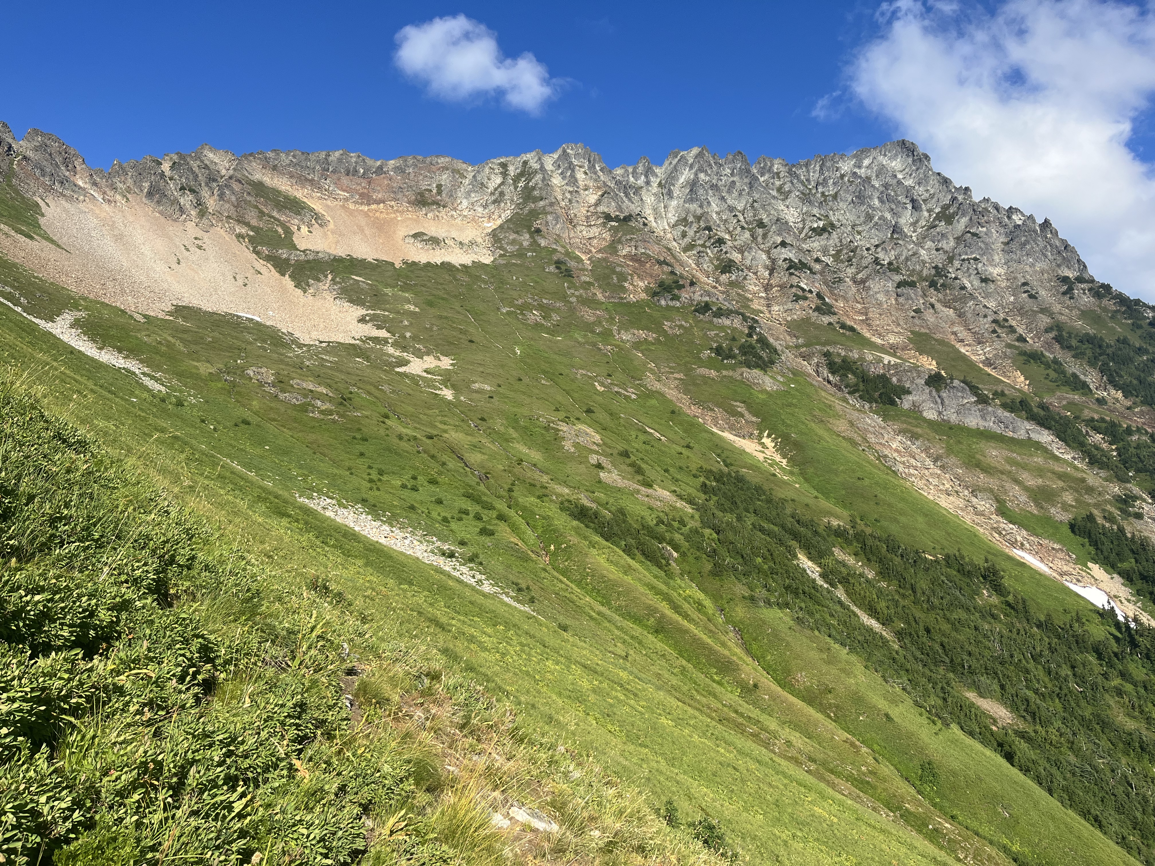
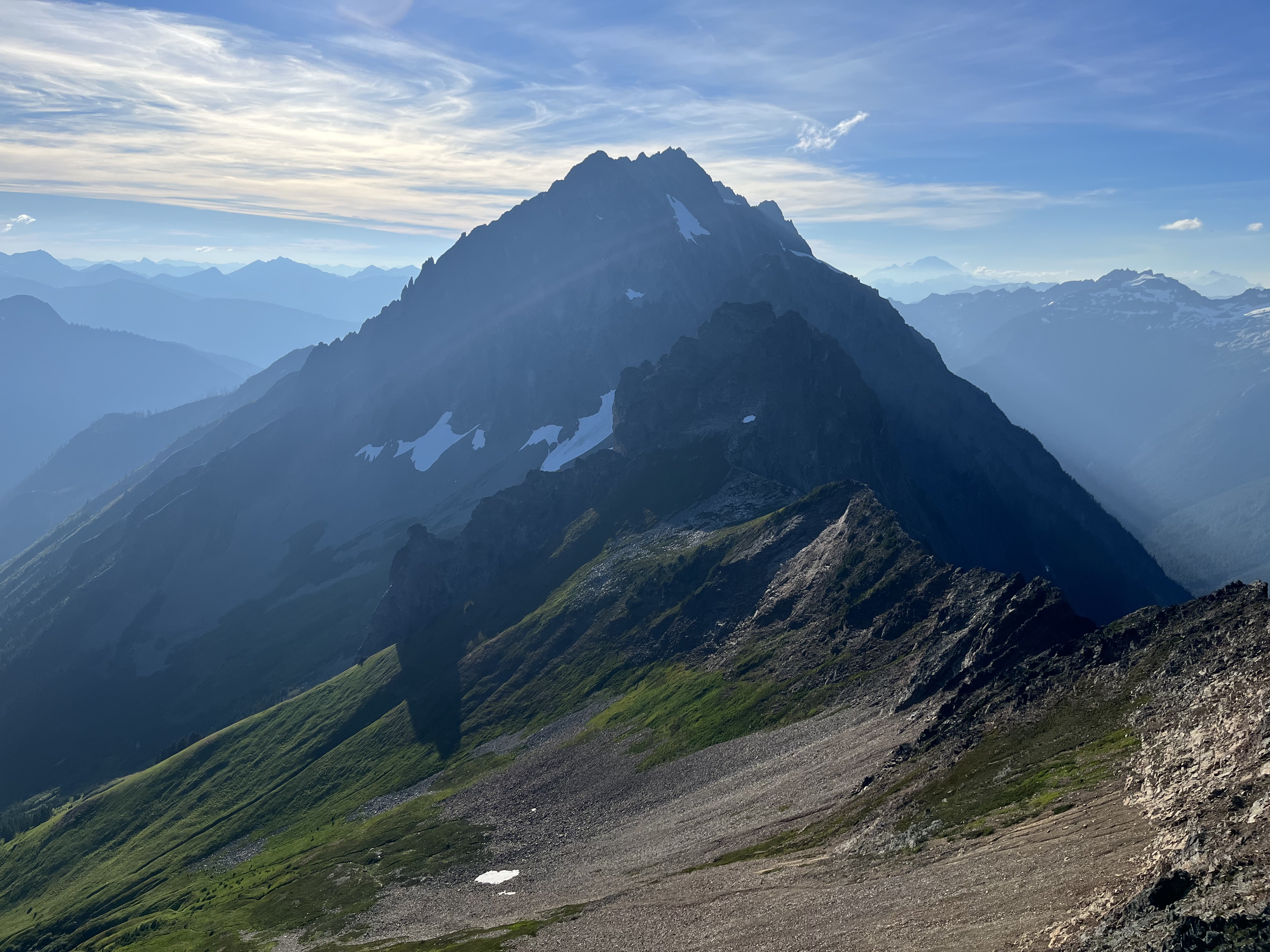
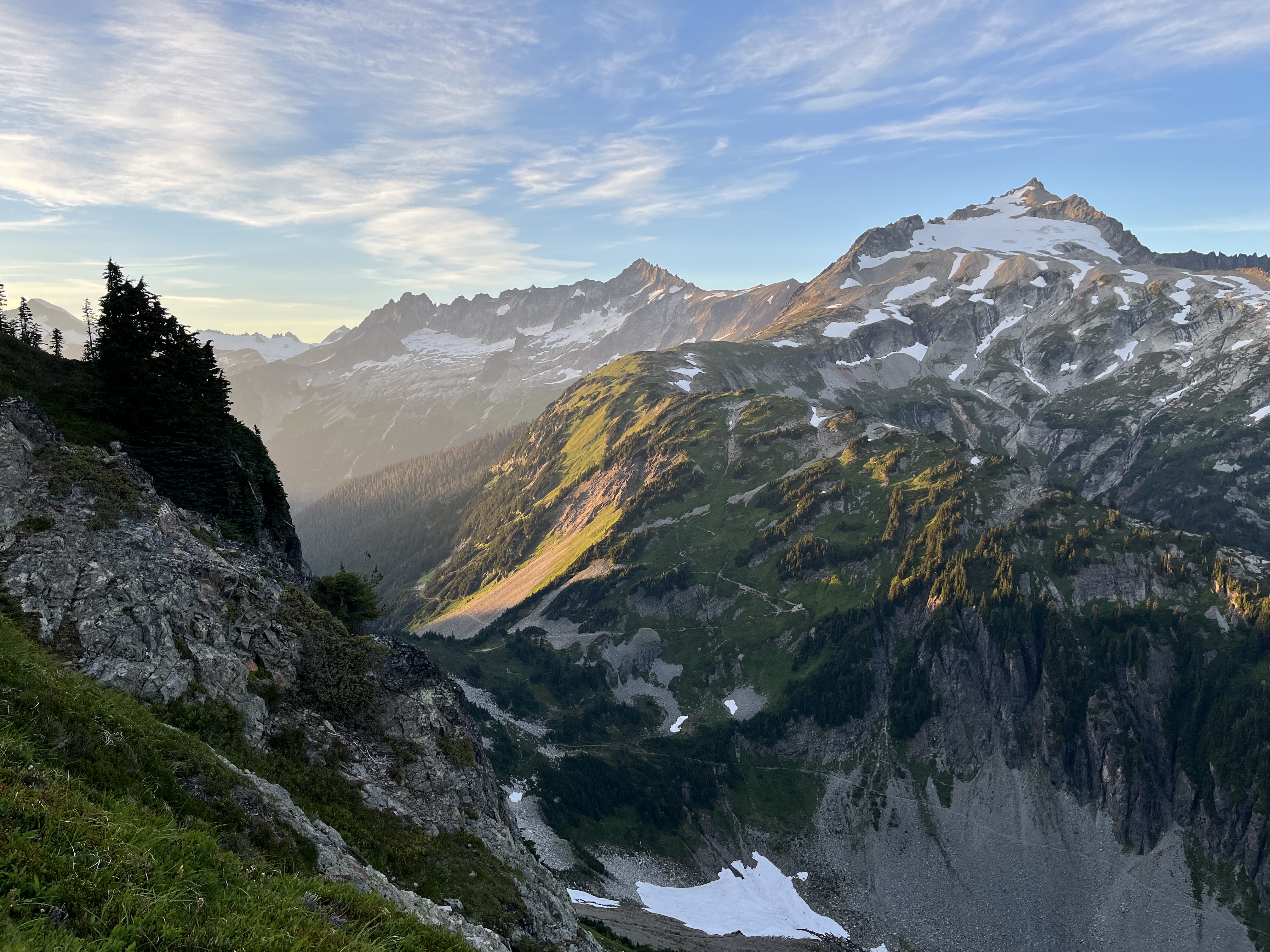
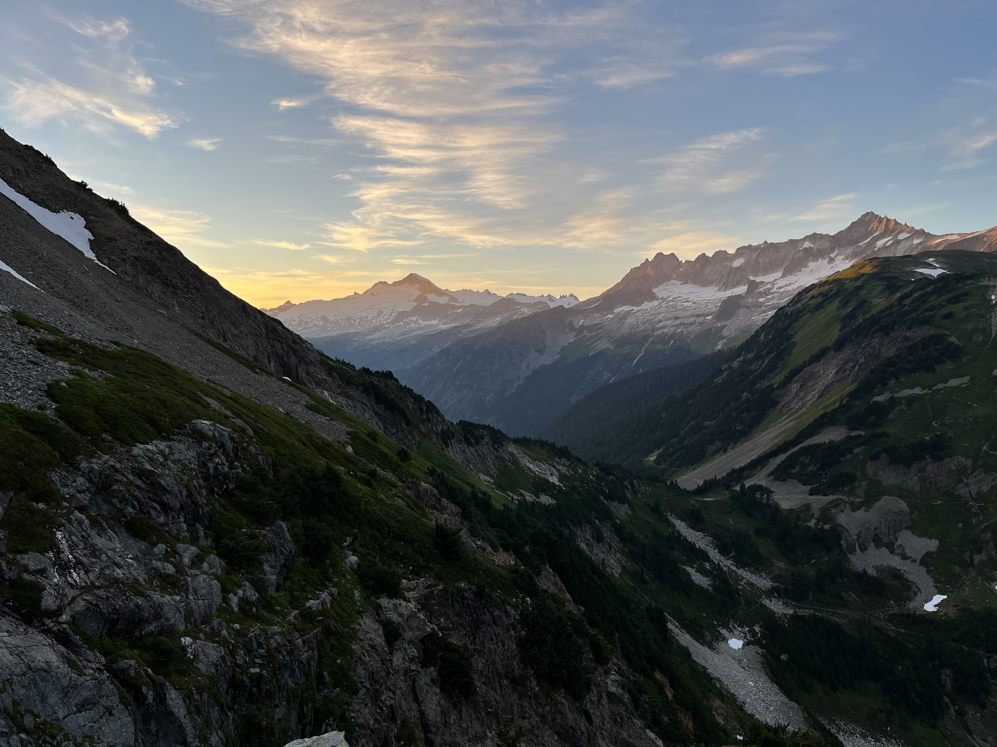
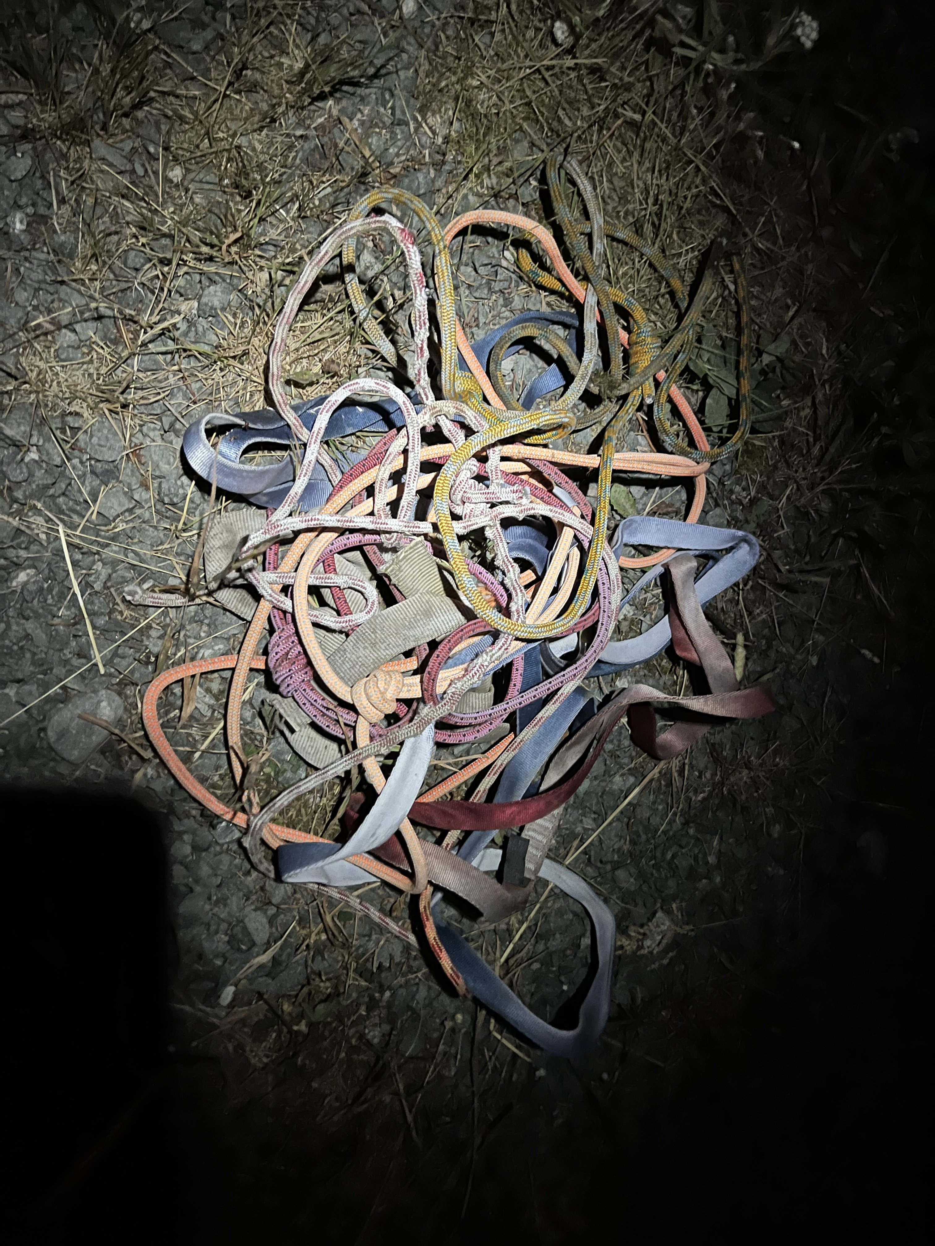
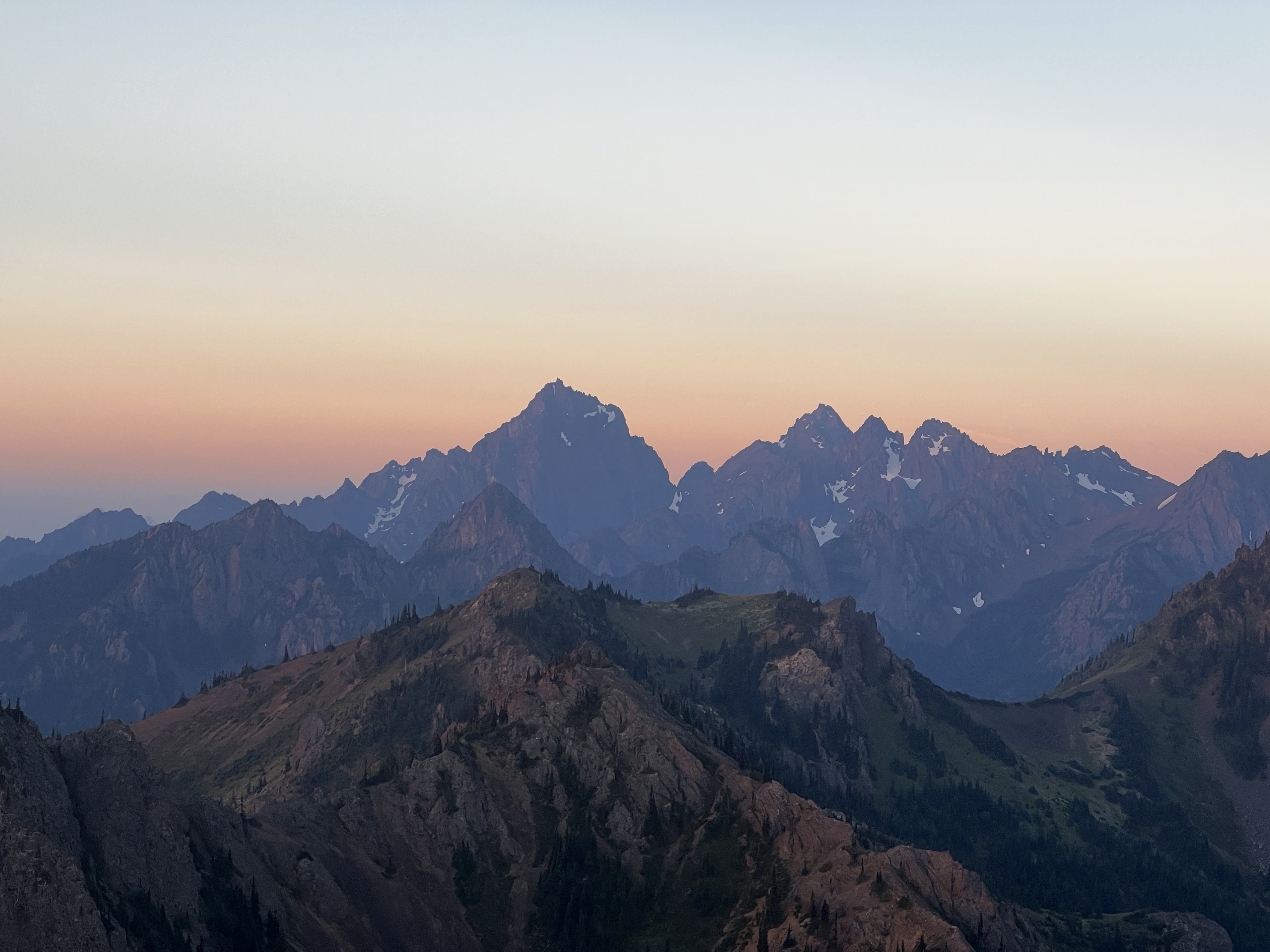
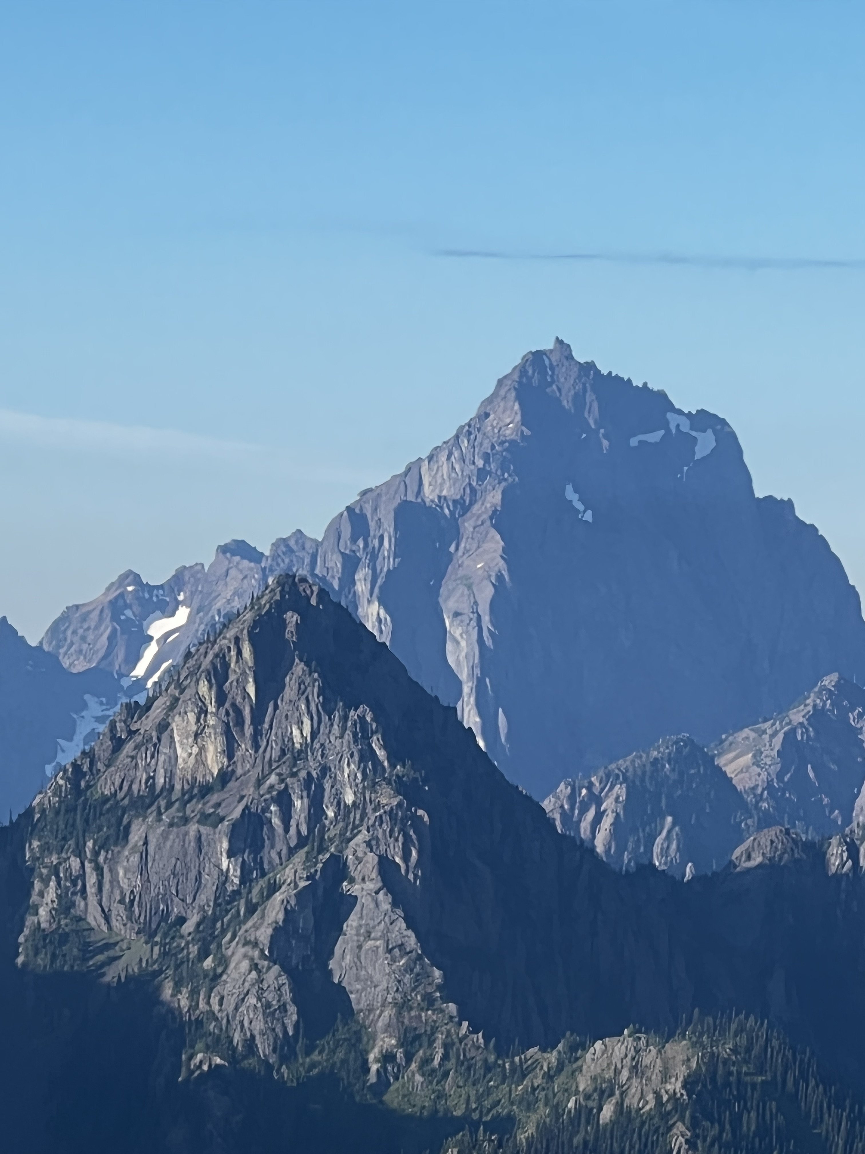
Trip: Johannesburg - DD x2 Trip Date: 08/21/2022 Trip Report: I took Doug’s Direct there and back yesterday. It’s a little tedious but quite scenic. I’m not totally sold on it. If I go back for the NE rib or a rock climb on the face E of it, I might try going early season and making a rapid descent from C-J instead. This is how it happened - I was stoked to do the NE rib in a day, but awoke to a thick damp fog. I didn’t like the sound of soloing the steep slabs at the start if they were extra slick. Getting soaked in the brush and trying to navigate for 1 or 2 or who knows how many hours without being able to see the route was also unappealing. But since I had to work the next day I didn’t have time to wait around for it to burn off. I would come to regret abandoning the plan as the weather gradually improved. I think I let the route’s reputation get into my head too much. It probably would have been fine. Oh well, it was still a fun day out. I decided to scramble Buckner instead, since I haven’t been there. A half hour into the hike it suddenly dawned on me that I could just take Dougs Direct both ways and pivoted to that plan. I had left rap stuff behind, so was committed to climbing/down climbing everything. This turned out to be a good move. There’s no reason to rap anything on the route unless you enjoy dodging rockfall. From the notch N of Mixup I should have looked around first but instead I headed down, winding along dirty ledges until I reached scree. Tried to continue right and down but quickly realized I was in dirt/rock avalanche terrain, backtracked to the bottom of the ledges and traversed skiers left to a mix of rock and heather. I went this way all the way up to the notch on the way back, much better. The huckleberries are IN. And the view of the Cascade glacier is incredible. The entire glacier is seen head on, with lovely meadows in the foreground. The steep side hilling seemed worst under the Triplets, but there really wasn’t a ton of it. There are many dry creek beds running down the bowl. You can use them to minimize slippery side hilling. There was some unstable steep talus and a bit of hard snow on the way to C-J col. I felt like I was moving quickly aside from route finding issues coming down from Mixup, but it was still almost 6 hours from the car by the time I started scrambling up Jberg. From the col the route was intuitive going up. Less so on the way down. I can easily imagine straying from the easiest path if trying to onsight the descent. At the false summit the true summit looked pretty far and the ridge pretty crappy, but it was actually fun. A much shorter and dirtier sibling of the TFT, which it faces. I lounged on the summit for around 40 minutes. Didn’t notice any summit register entries since 2020, but it’s full. On the way down I collected many souvenirs. Didn’t bother with a knife, just grabbed the stuff that was lying around or loosely draped over rocks. Oh, the tales of epics this tat would tell, if only it could speak. Not much to say about the descent. The huckleberries and cascade glacier scene went a long way to dulling the pain of the traverse. Route finding is harder going down, so it was slower in spots, but the Mixup notch was much smoother the second go around. So it took about the same amount of time car to summit as summit to car. Just over 15 hours round trip. Gear Notes: Axe, crampons Approach Notes: Doug’s direct. The best way to get to the notch is skier’s left / climber’s right side of the dirty slabby ledges, where it meets heather2 points
-
Nice report; thanks. First time I ever heard of Doug's Direct was this fabulous report and I still laugh every time I hear the name. Also nice to get the history of the name from Juan Sharp. "Doug will tell you a good way to get to Seattle from Portland is through Los Angeles!"2 points
-
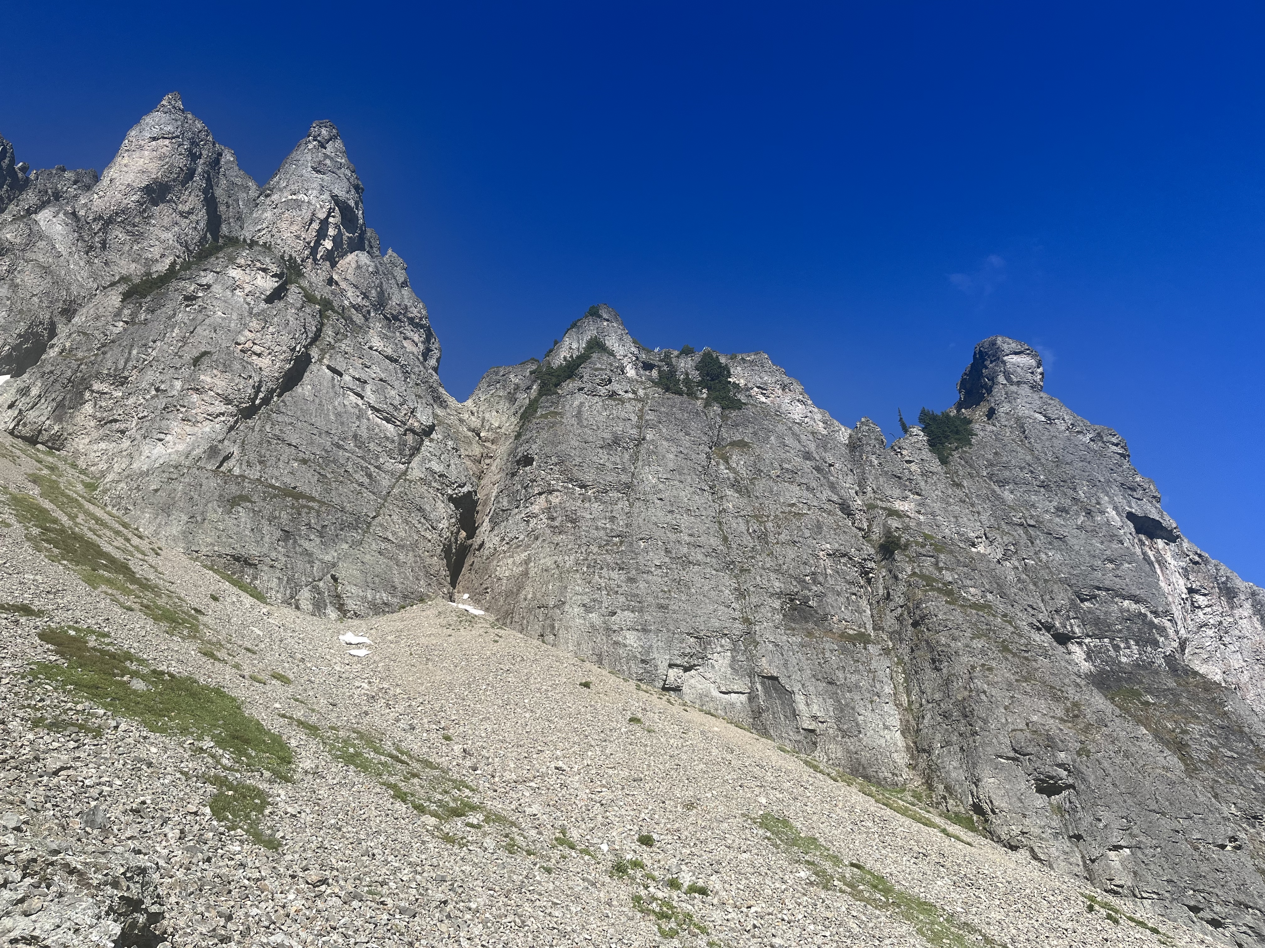
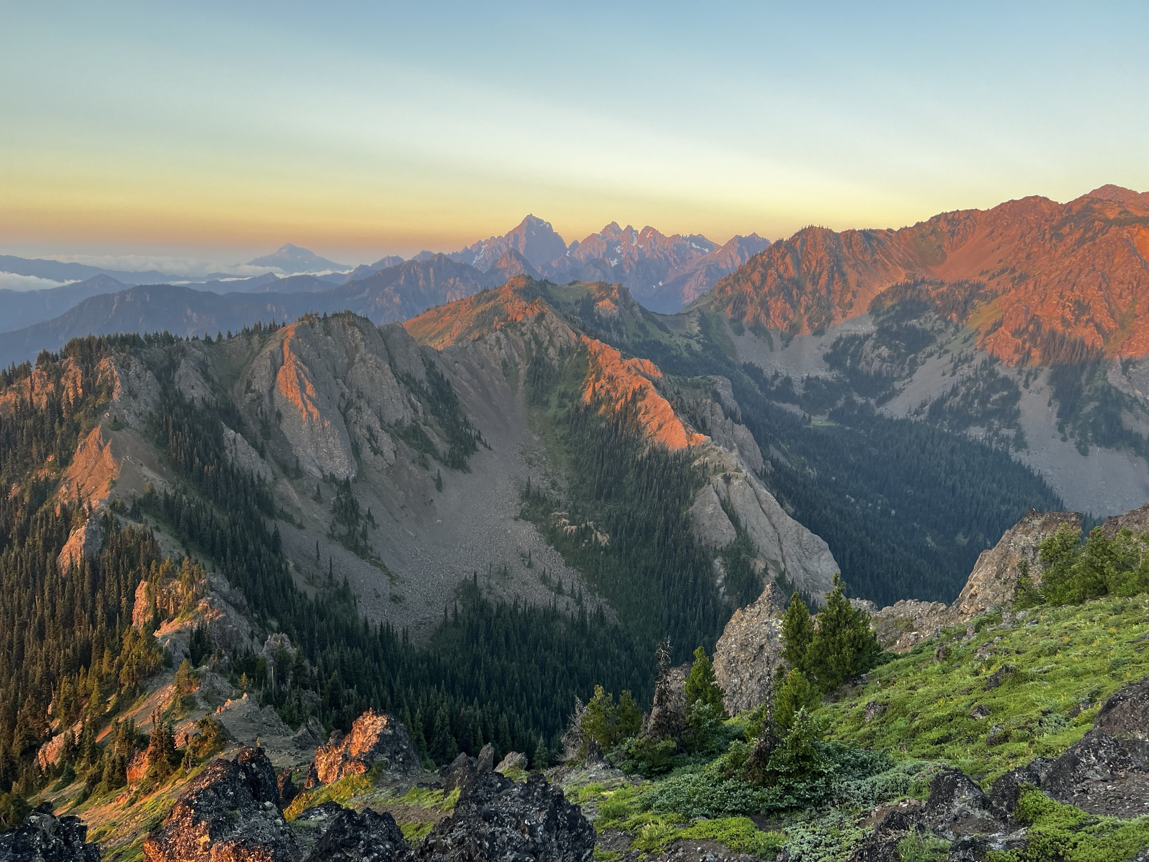
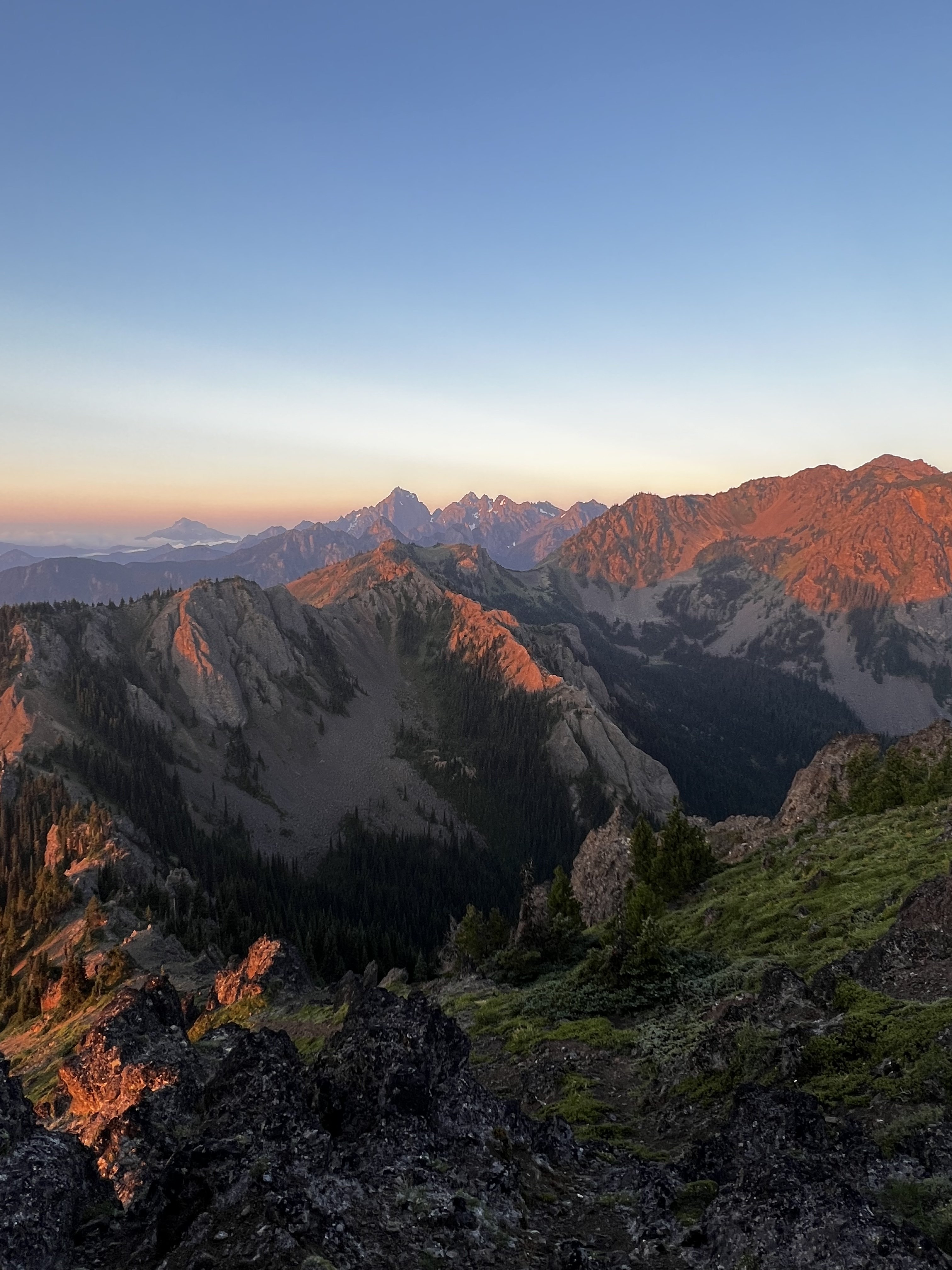
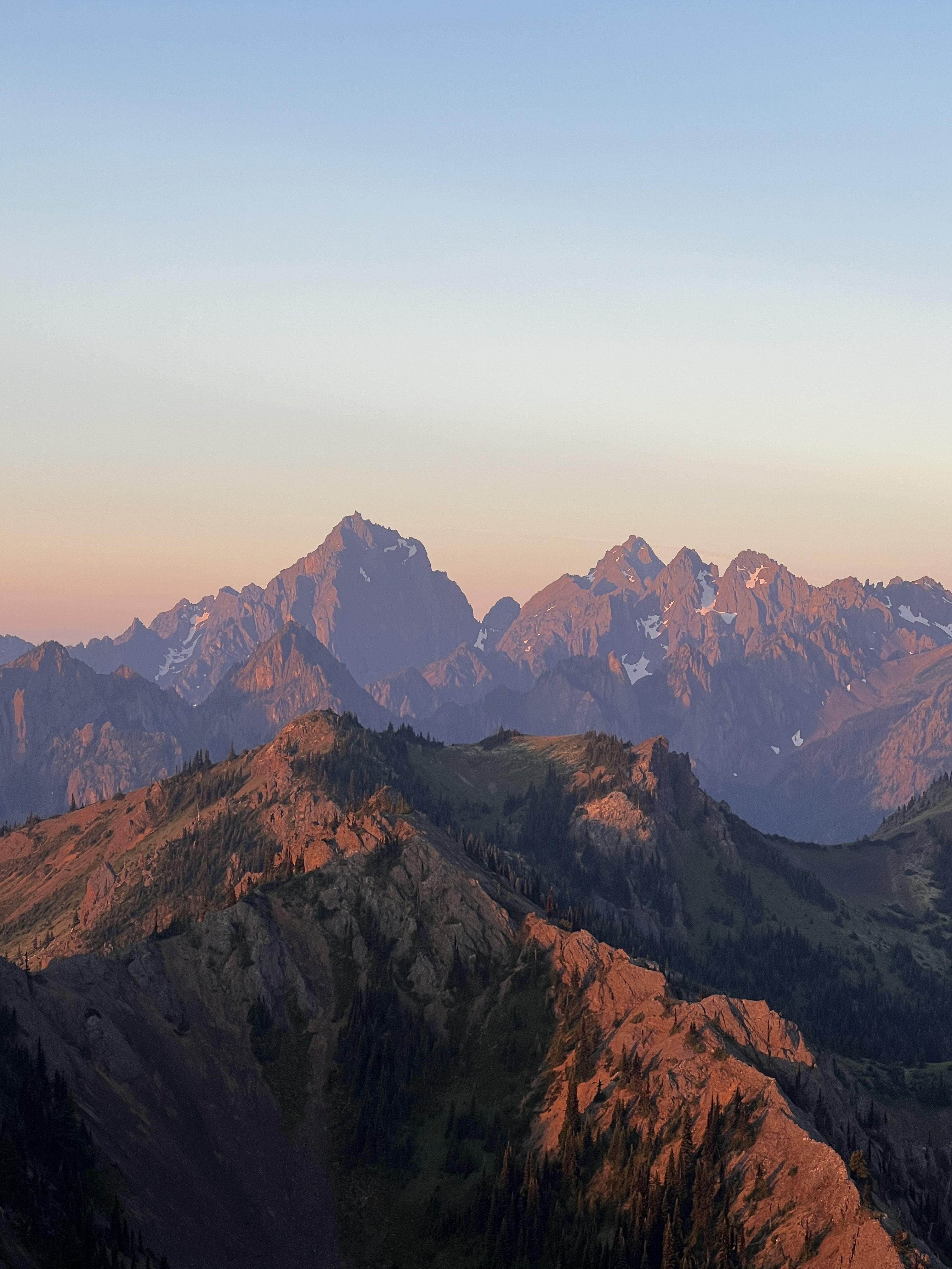
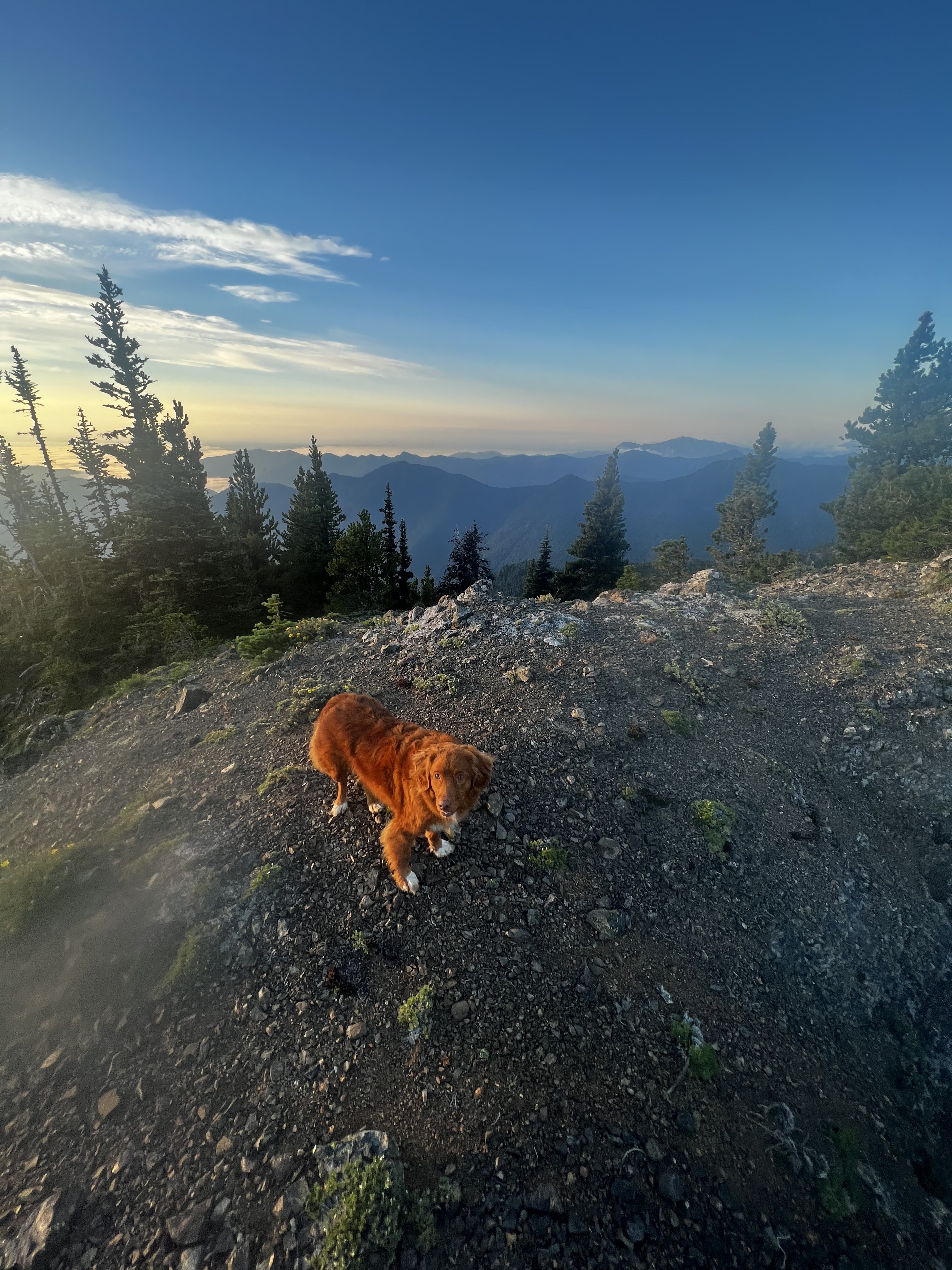
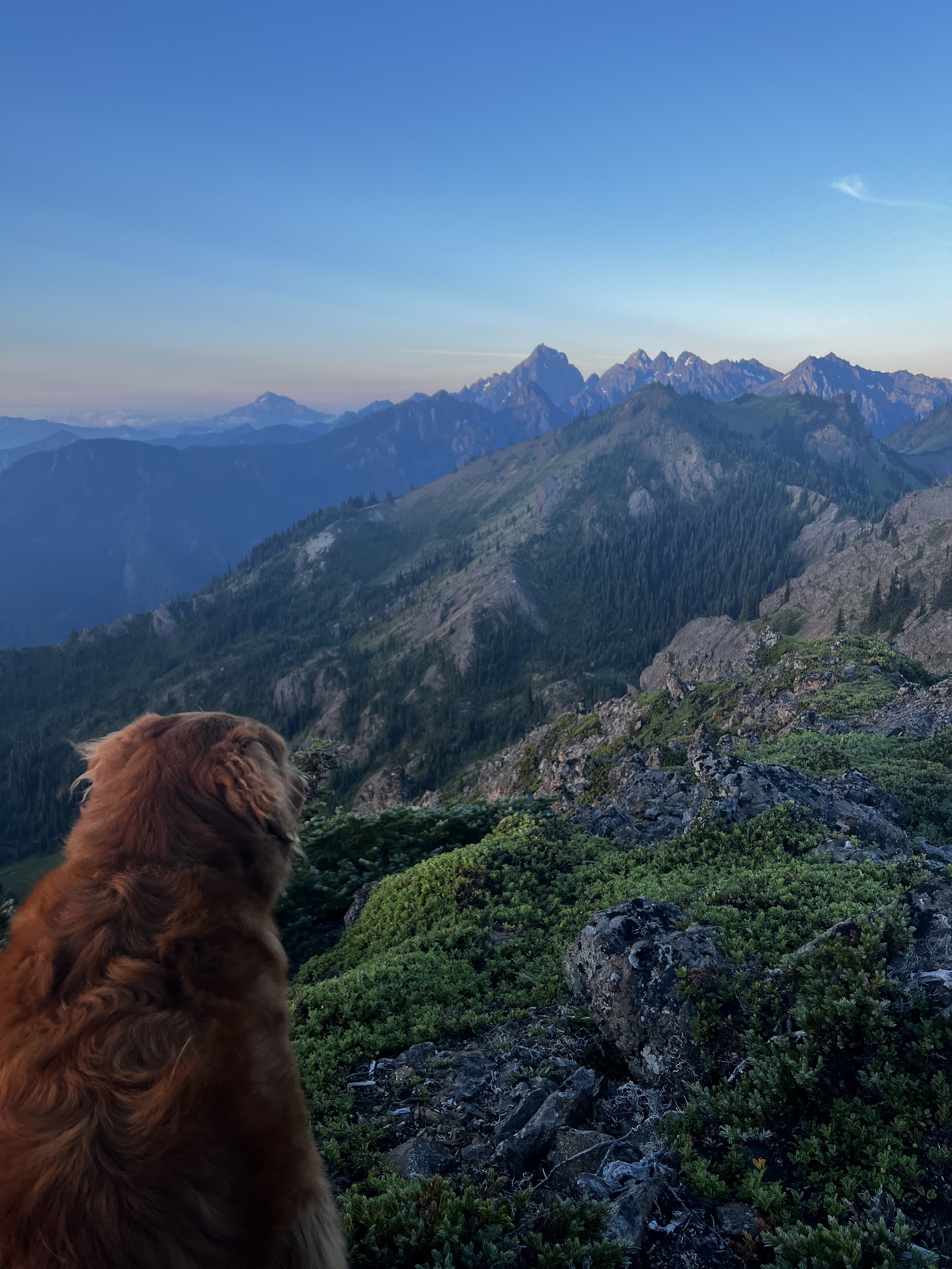
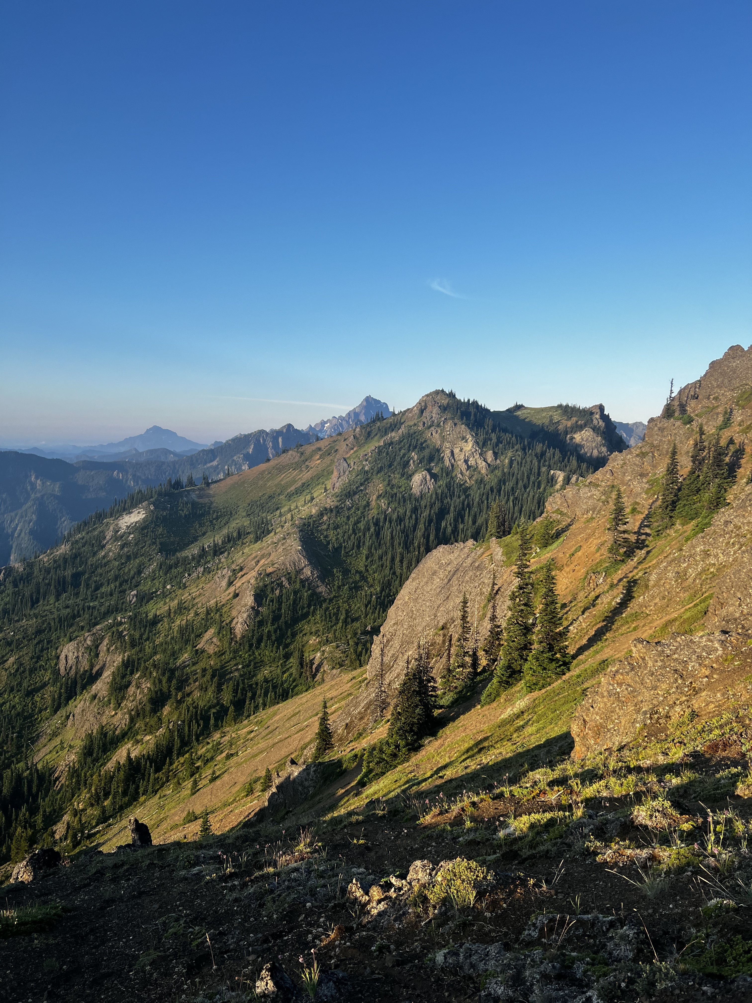
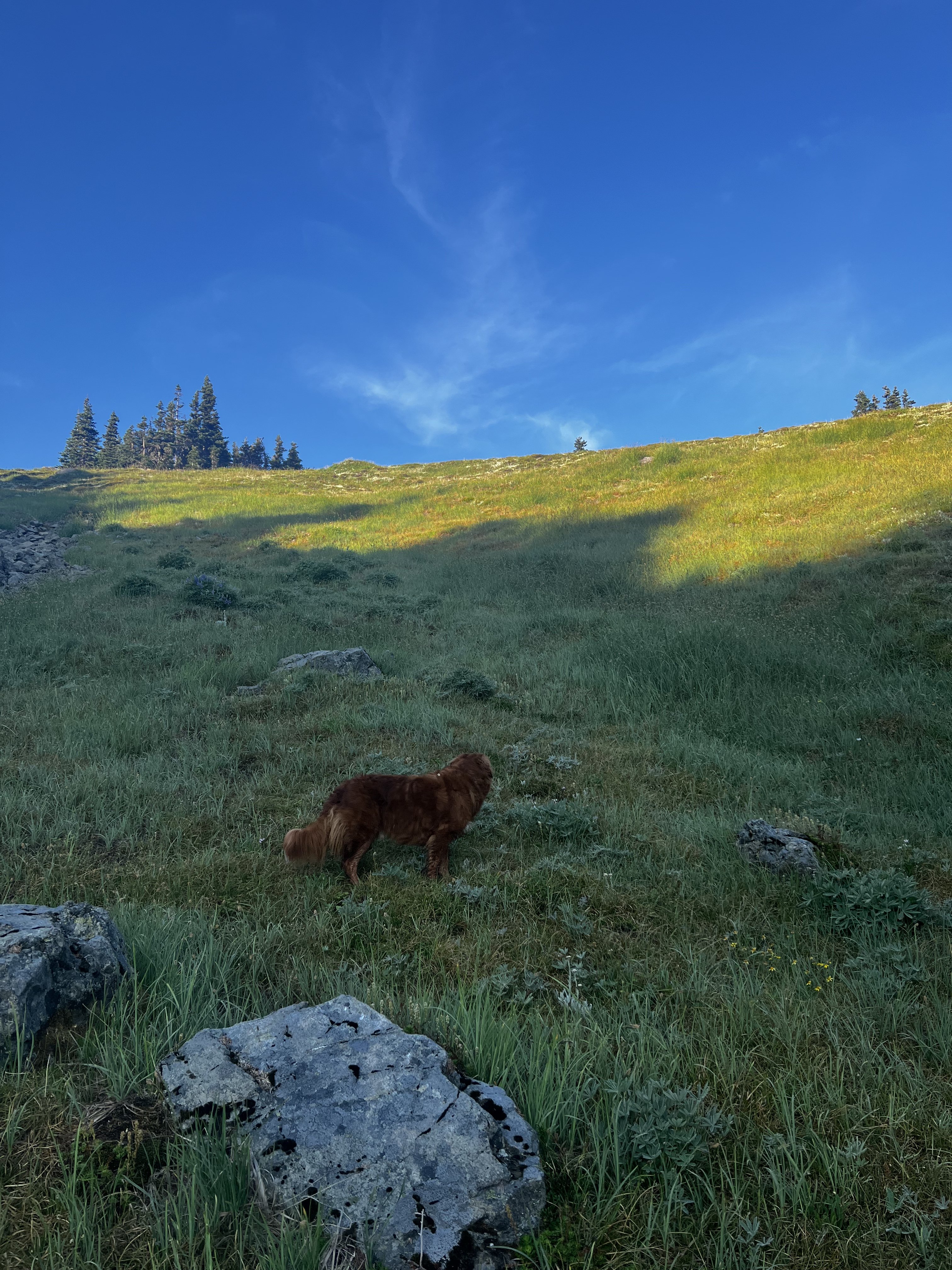
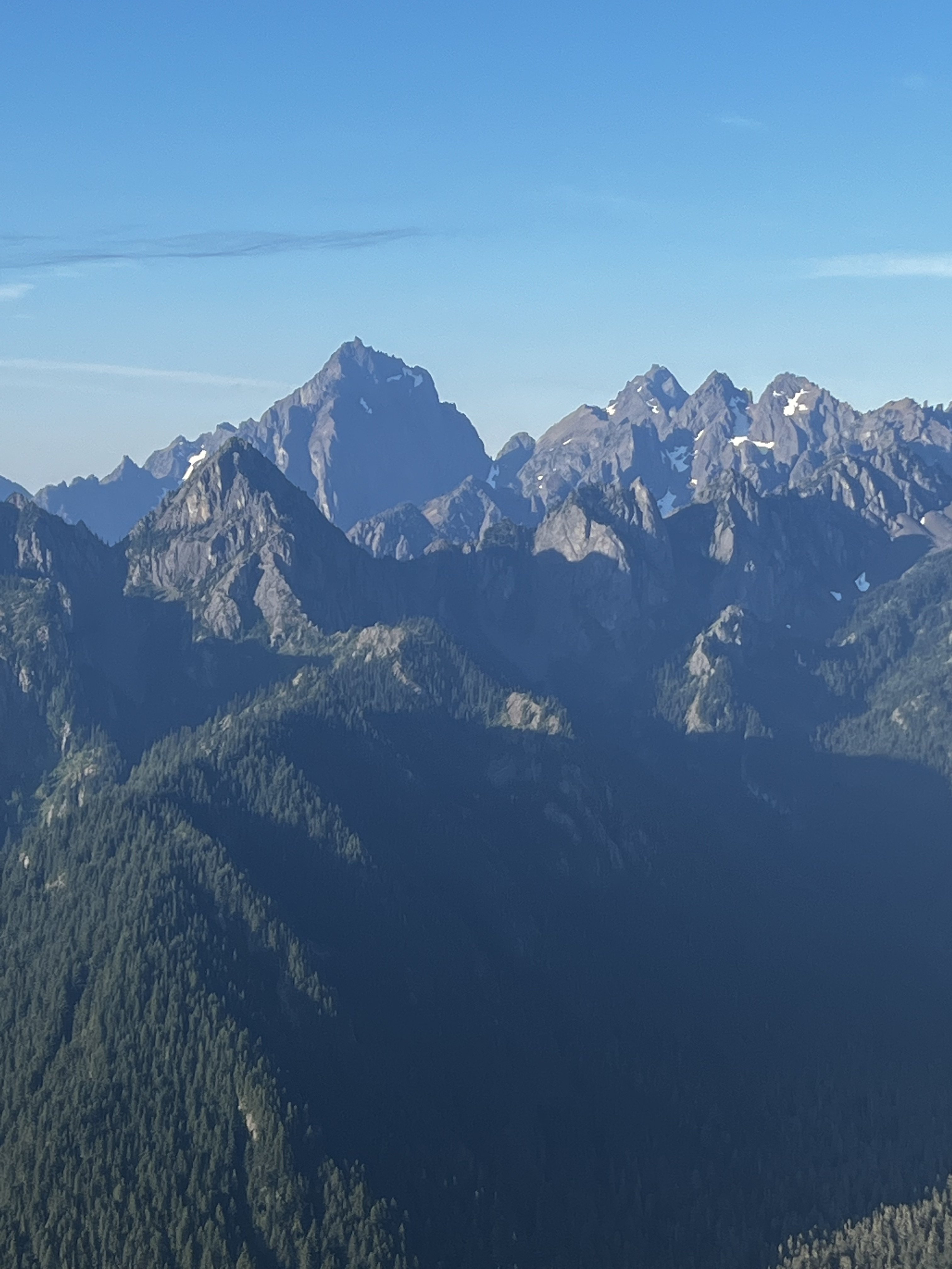
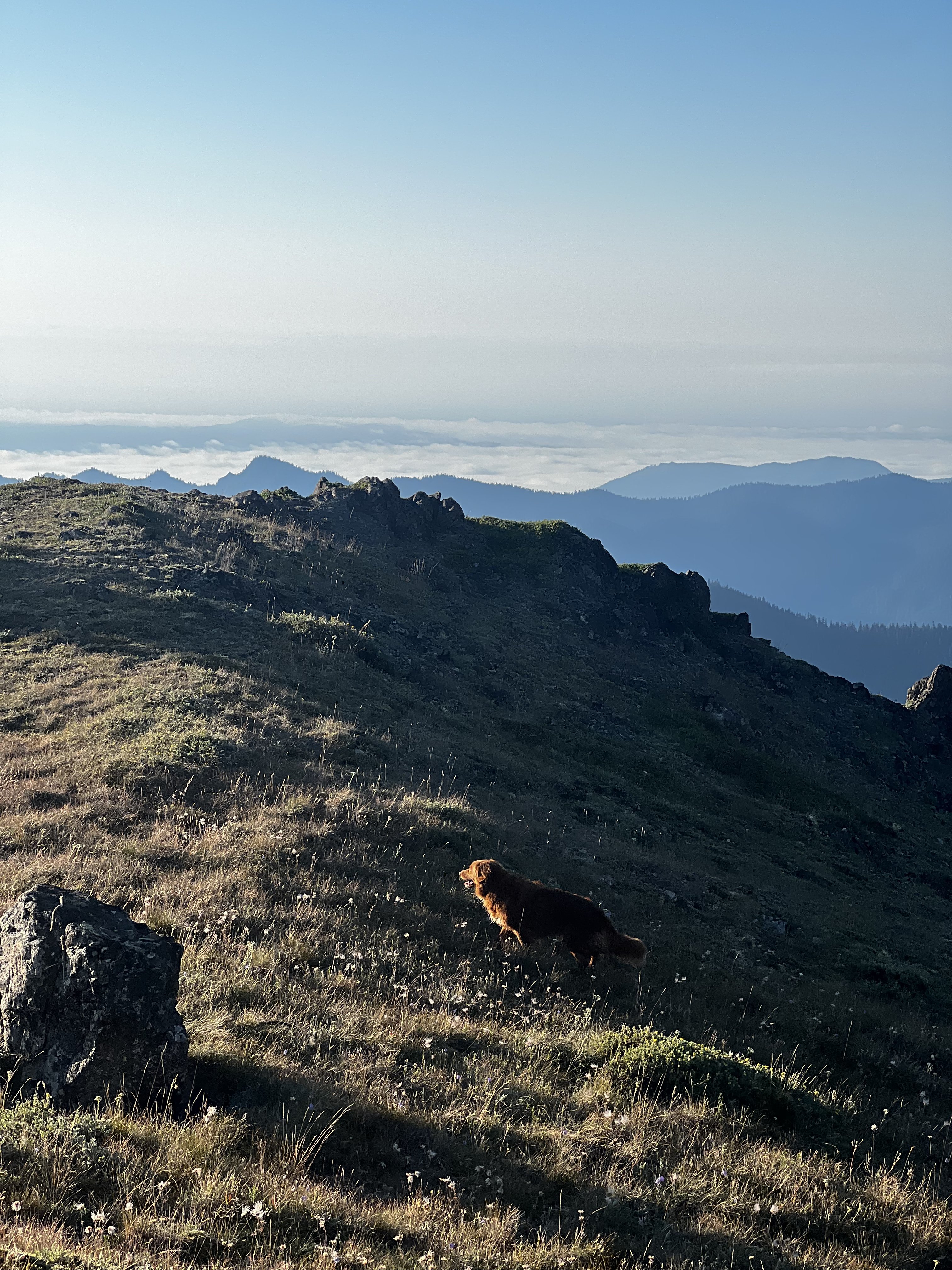
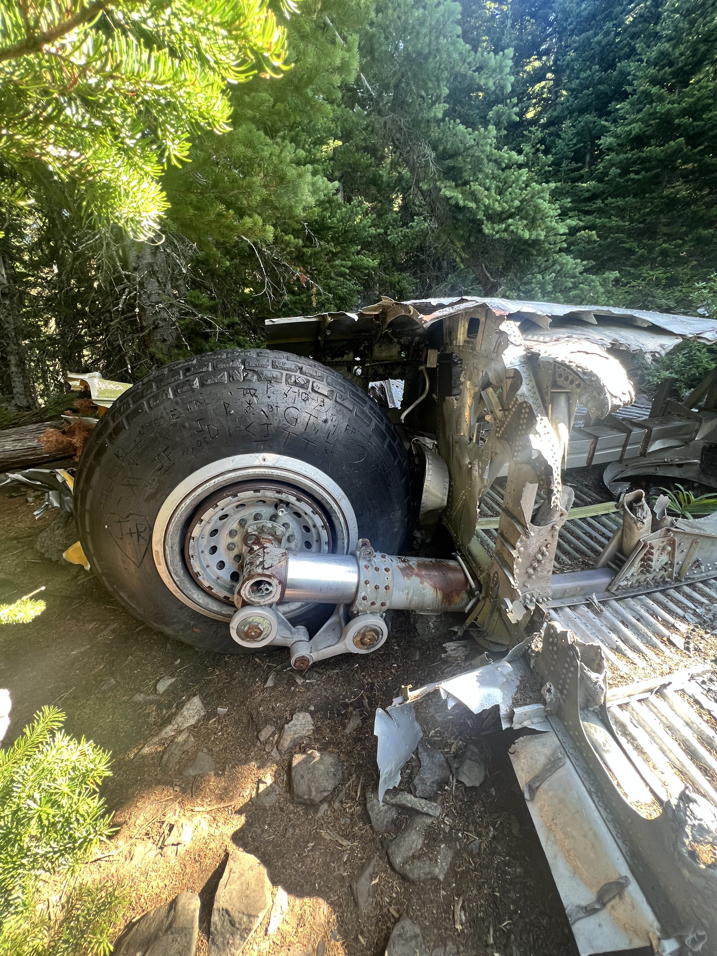
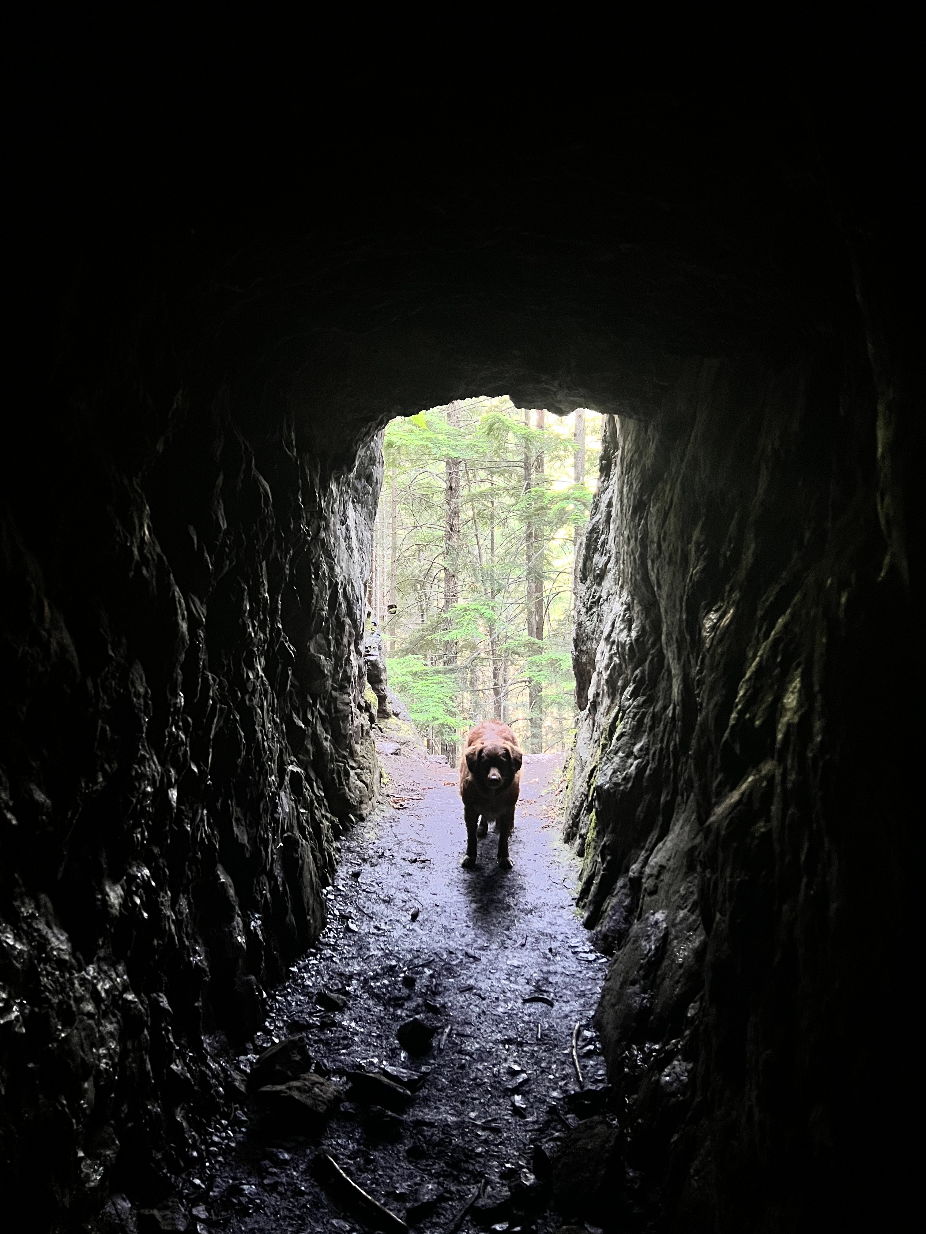
Trip: Welsh Peaks > Sillver Peak > Hawk Peak > Tull Canyon - traverse Trip Date: 08/20/2022 Trip Report: My climbing partner and I did this little traverse on Saturday morning. We camped at the Silver Creek trailhead, in a tent next to my truck. Every night, like Cato attacking Inspector Clouseau, my climbing partner tests my resolve. He waits till I'm most vulnerable and unsuspecting and attacks. I held him off again, this time in a little BD Firstliight. Later I saw a remarkable "shooting star"...a band of iight moving across the sky rapidly until it disappeared over the eastern horizon. I thought I had seen nothing like it before, but then I remember the Space Shuttle when it fell...it looked liked that, but just the one band of light. My climbing partner woke up at 3:30 and told me he was ready to go now and to stop fucking around, lets go. So I obliged and we got under way at 4am. We reached the summit of the taller Welsh peak right before sunrise and witnessed a glorious birth of a new day from there. Then we moved on our little high country traverse, following game trails and an occasional footprint, moving south, staying high on the ridge as possible. Eventually saw a couple down at Silver lake camped with their dog from our ridge vantage point. We continued on to Silver Lake Peak and then dropped down to the gap between that and the start of the ridge up Hawk Peak. There are several ways up Hawk peak, but we stayed on the south side as much as possible to soak up as much of the views of Constance, Warrior Peaks, the Brothers, Mt Anderson, Mt Jupiter, and others...truly a great vista. The Puget Sound below remained carpeted in clouds. We made our way up to Hawk Peak, which is an incredible vantage point. Then we left, but I forgot my trekking poles so we had to backtrack and go get them from the summit. We dropped down to the basin of Tull Canyon, which is very beautiful. Unfortunately you have to drop quite a ways before finding water, and not long after that we were at the plane wreck in Tull Canyon. You can read all about it here, a fascinating story. What I found most interesting is that only three of the crew died, listen to this account: We visited the wreck for a while and then continued down the trail to the Tubal Cain trail. We ran up to make sure the main mine was still open (it is!) Then we hiked down and out via the Tubal Cain trail, and then the mile back up to the truck. A fun 6.5 hours moving time/ 8.5 hours total. Milage was a little less than 15 miles (including back track to get trekking poles). We saw people first up by the plane wreck which appears to be growing in popularity like everything else....and there was a conga line going up Tubal Cain trail. Didn't go to the back of the main mine at Tubal Cain as my climbing partner wouldn't let me, but if you go up there do it...it's an adventure. photo dump: Gear Notes: trail running pack, trekking poles Approach Notes: drive to the end of the dungie road1 point
-
Great trip report. That is a beautiful area. Is the road open to the Cascade Pass Trailhead?1 point
-
1 point
-
Thanks for the excellent TR. Good writing and informative photos are appreciated.1 point


