Leaderboard
Popular Content
Showing content with the highest reputation on 01/25/20 in all areas
-
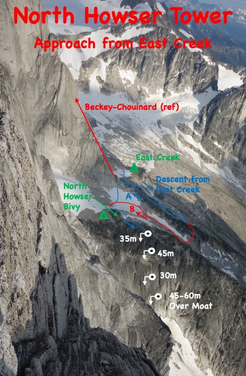
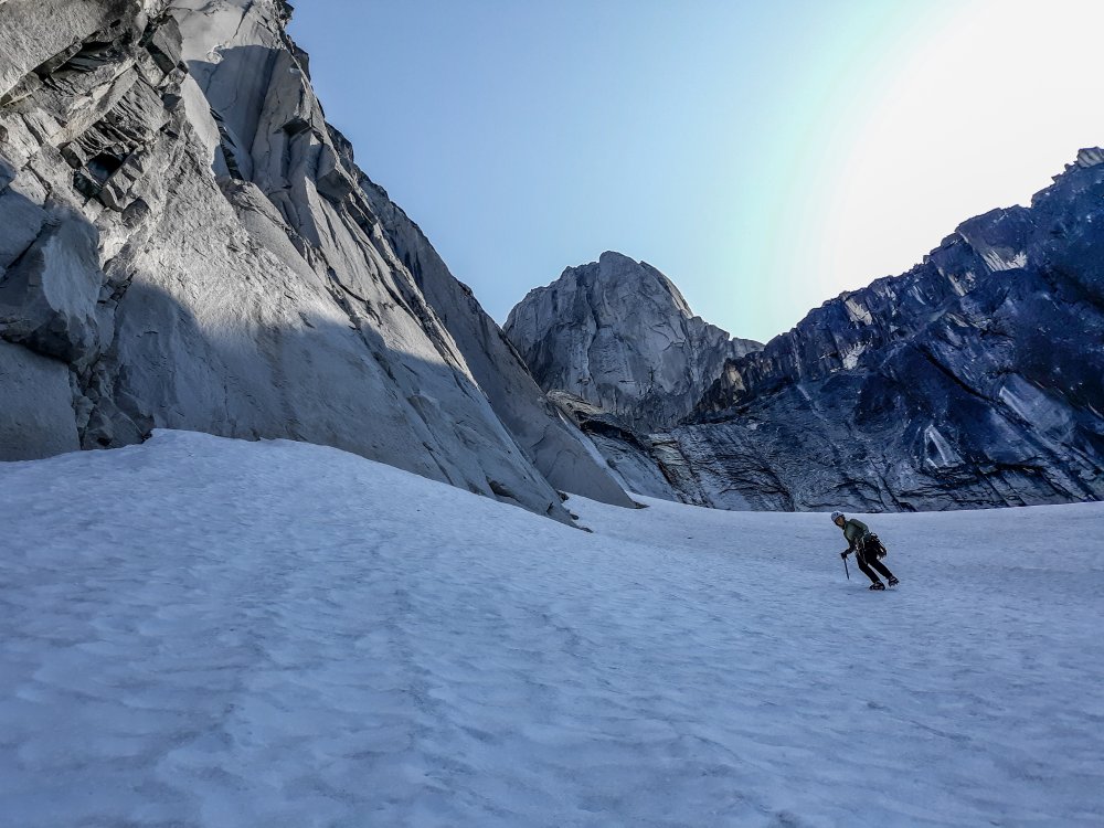
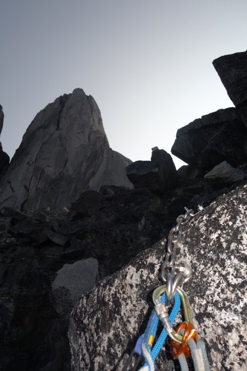
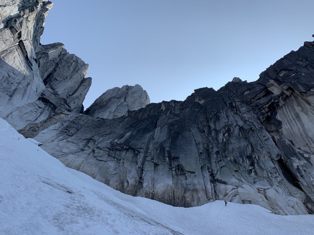
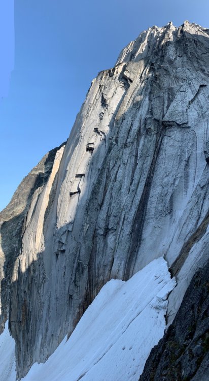
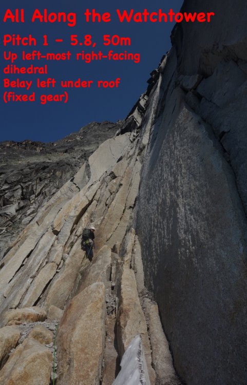
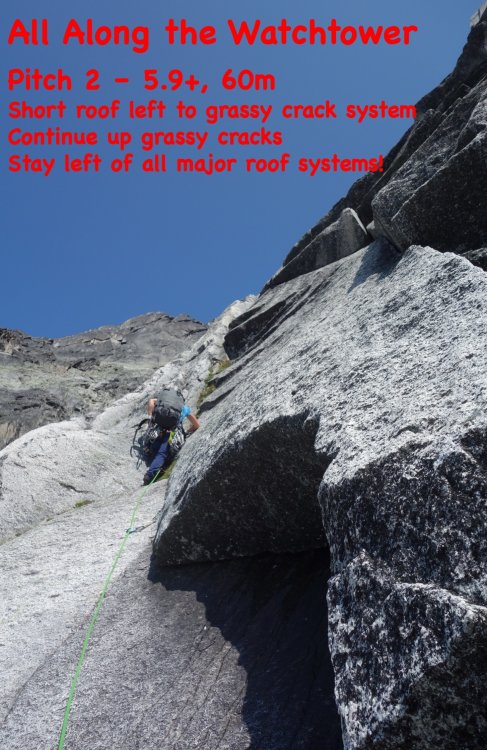
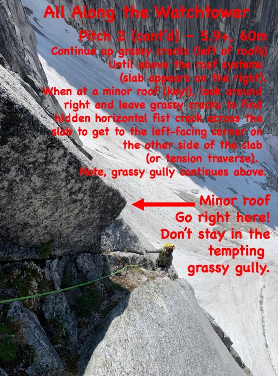
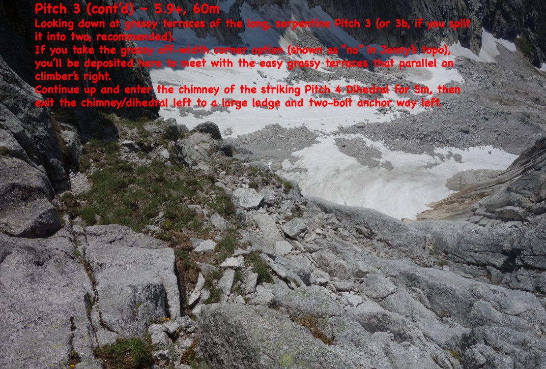
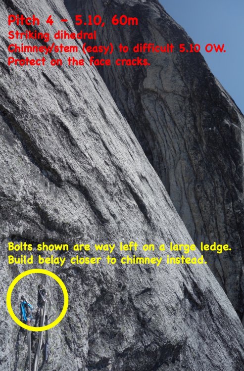
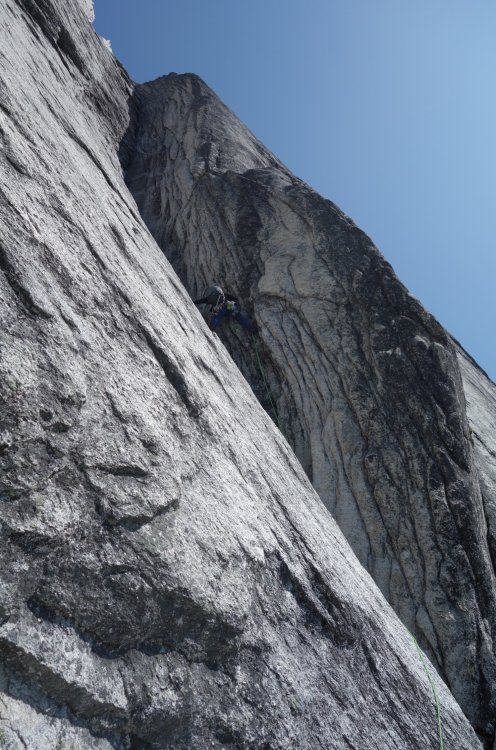
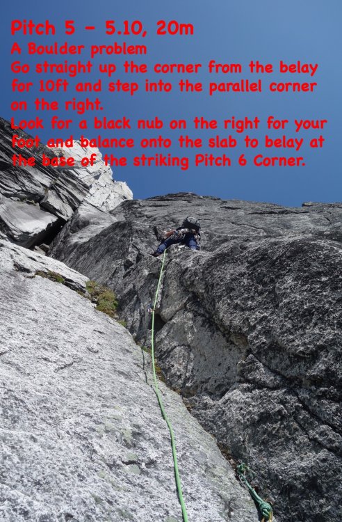
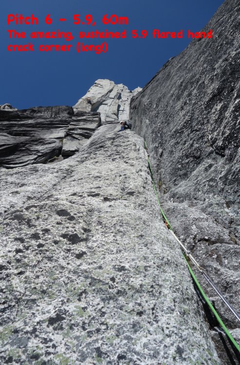
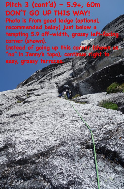
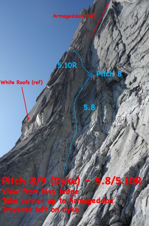
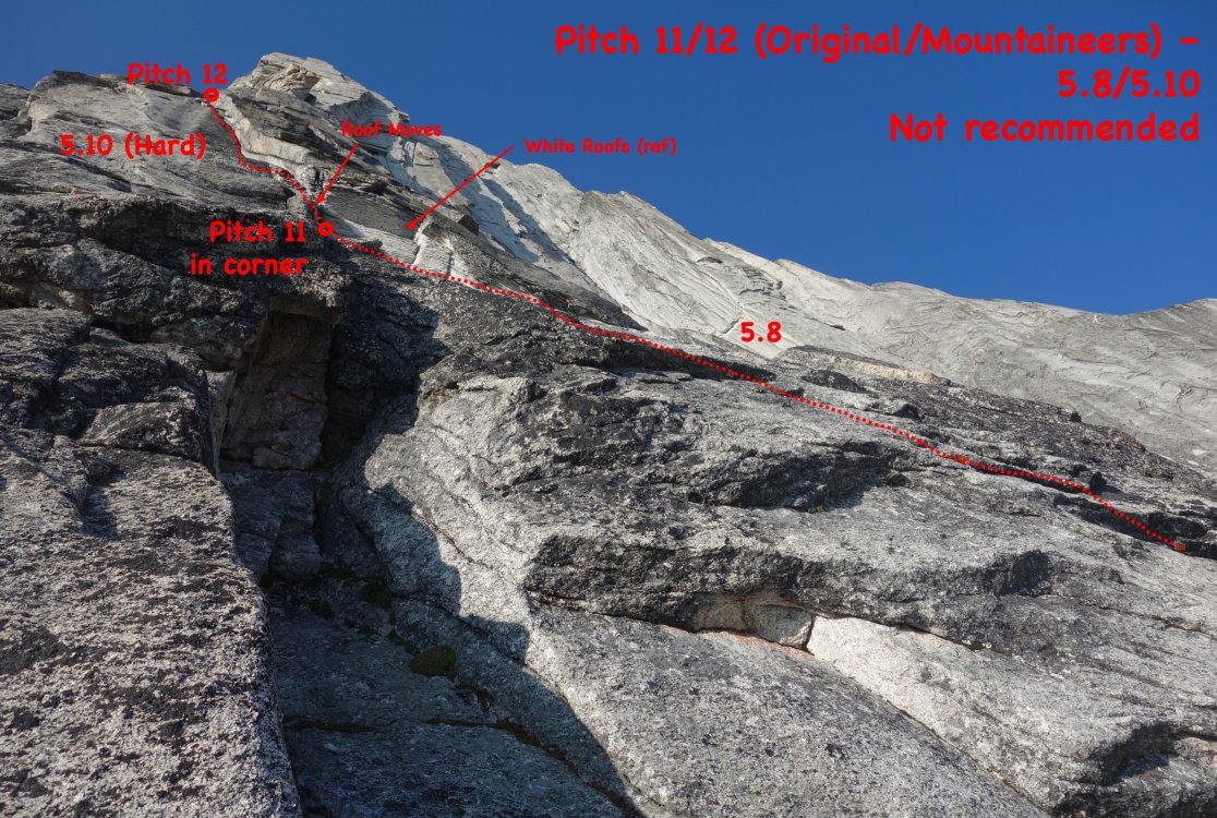
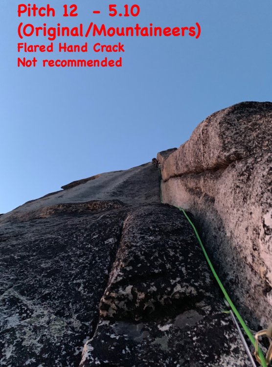
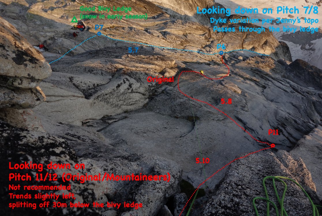
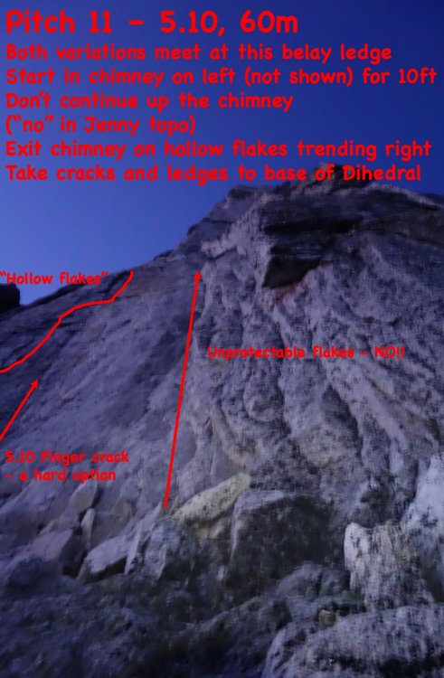
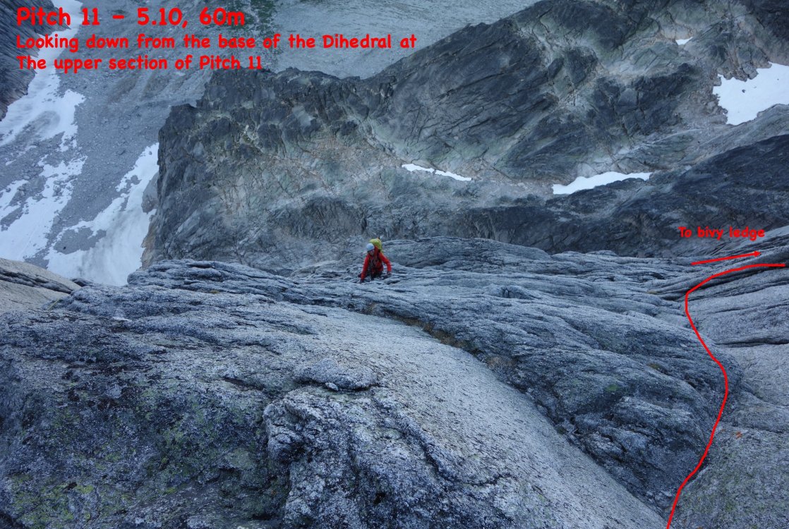
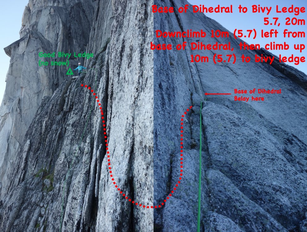
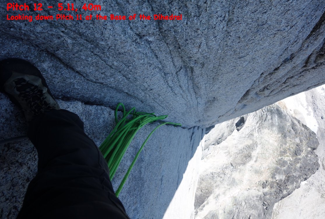
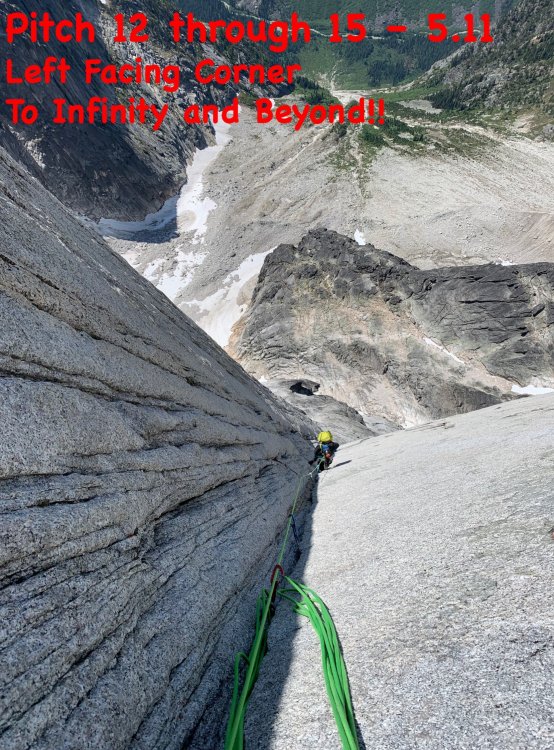
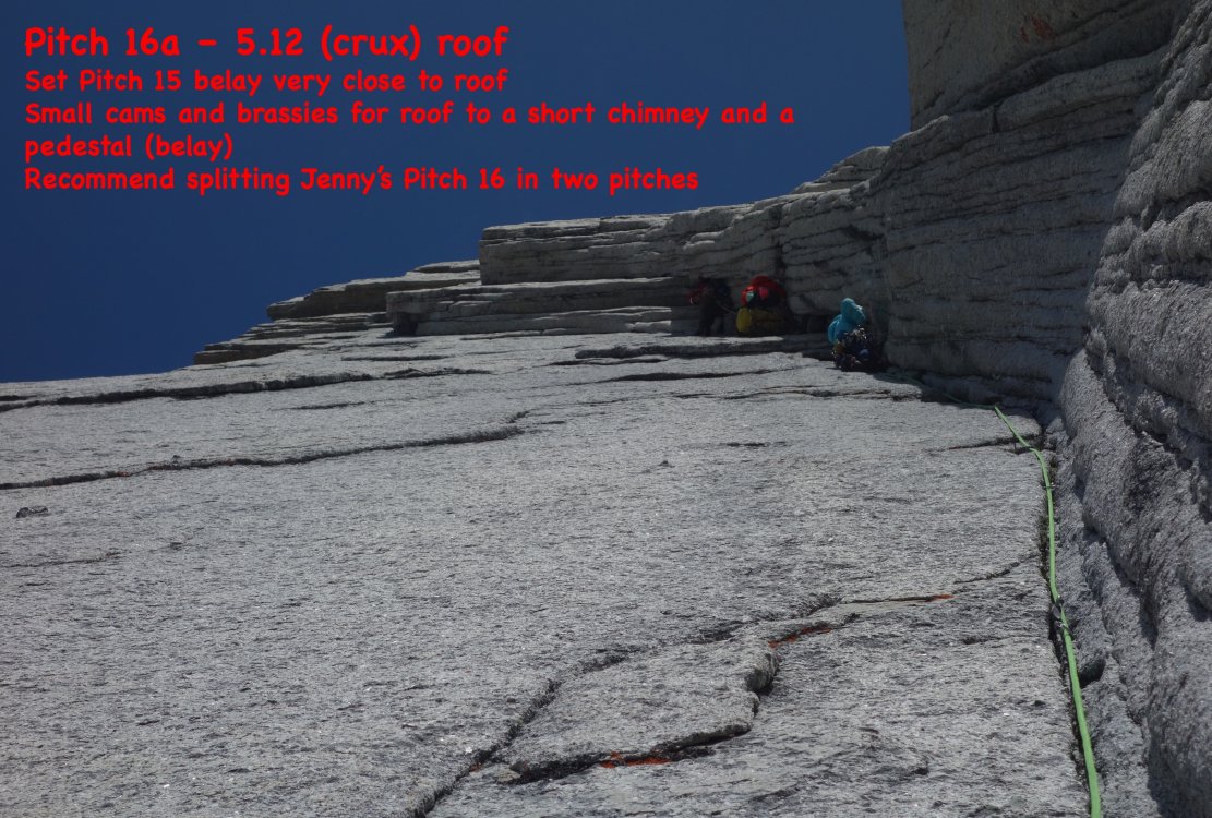
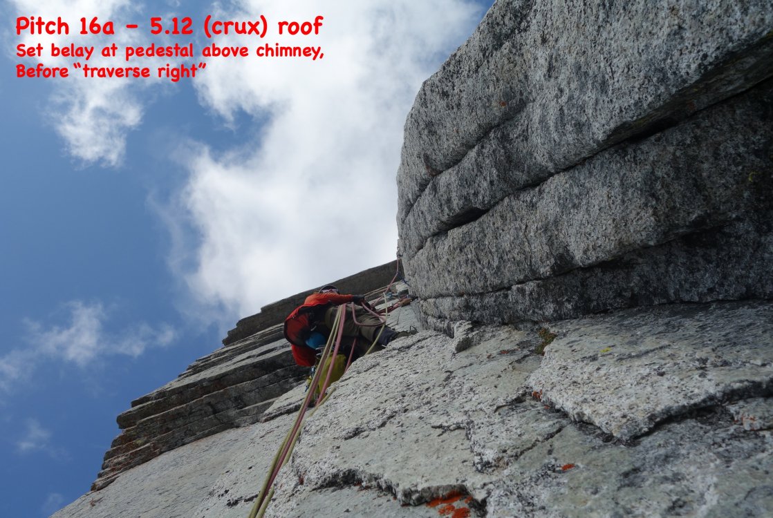
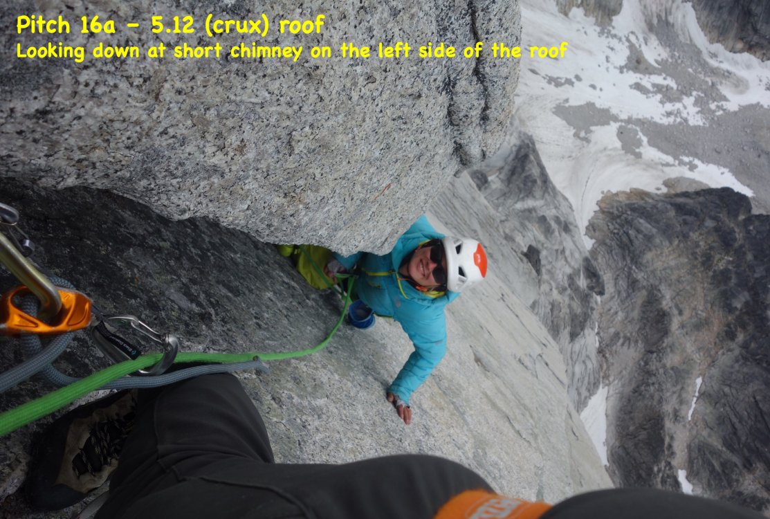
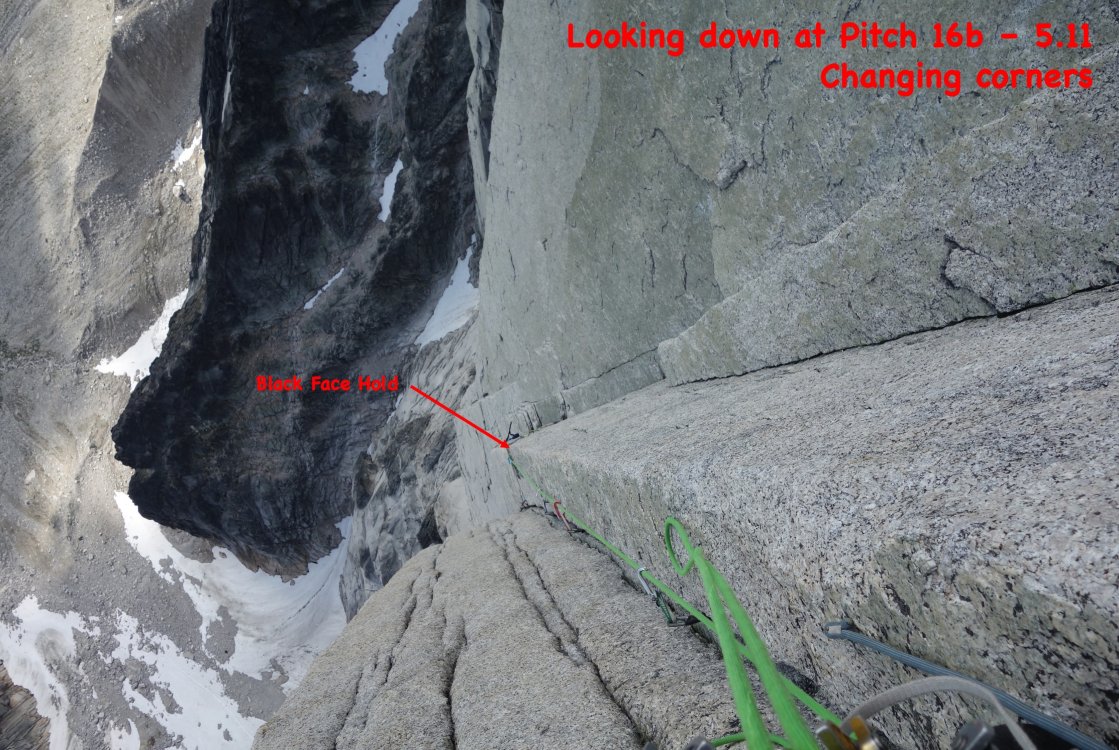
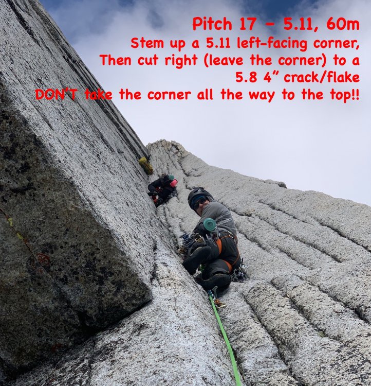
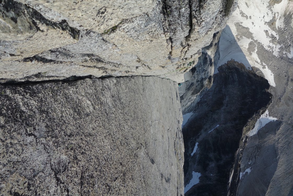
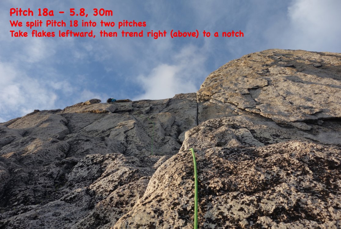
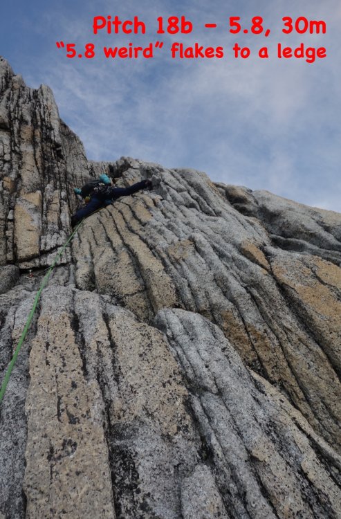
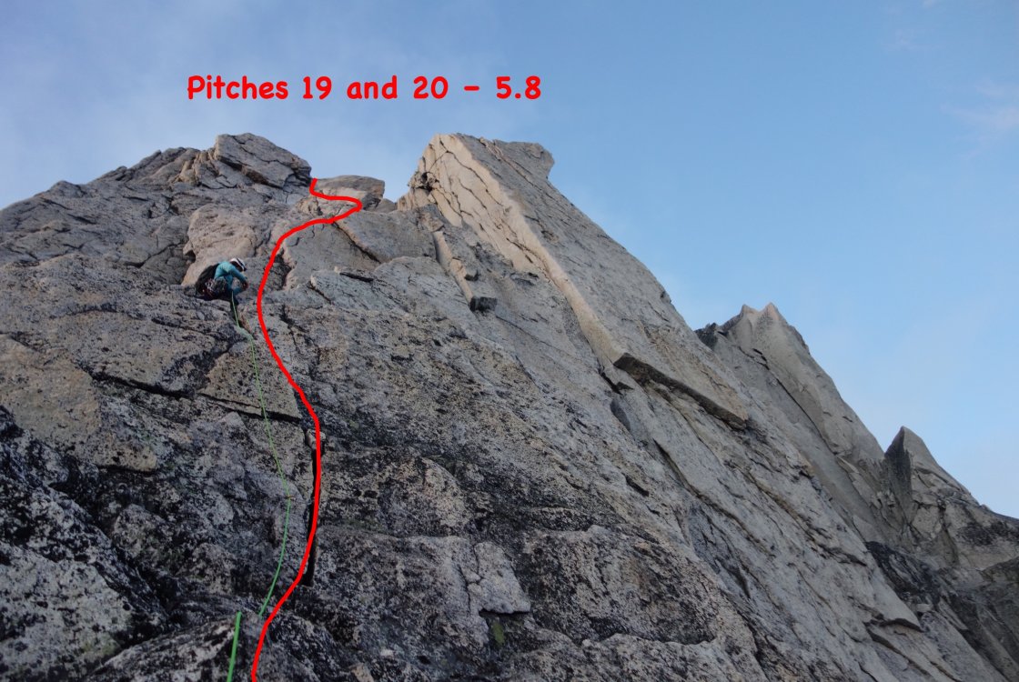
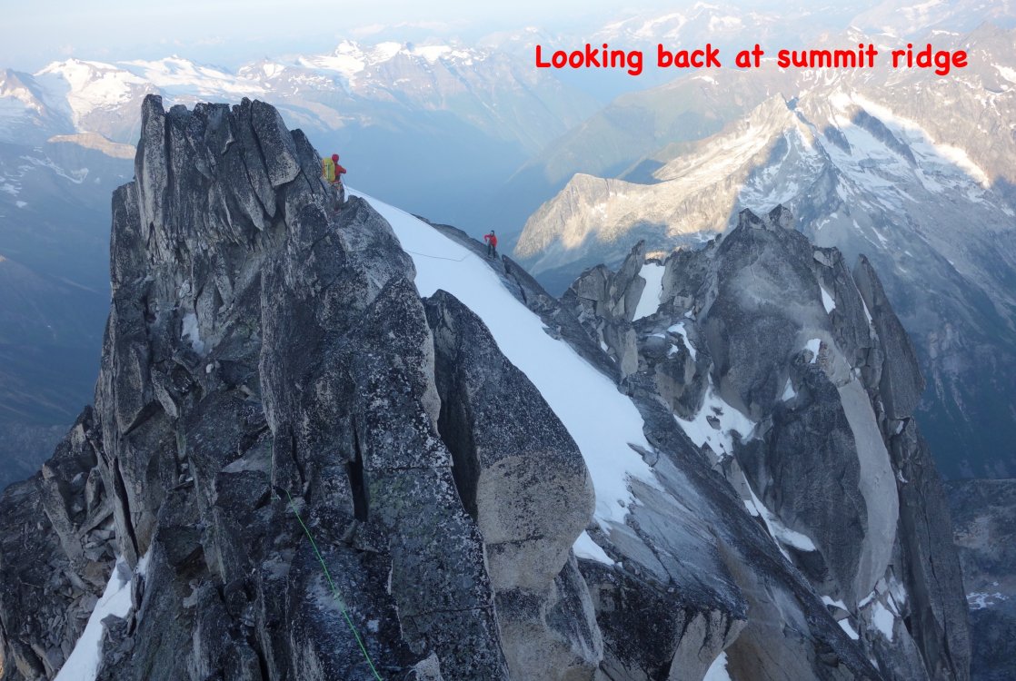
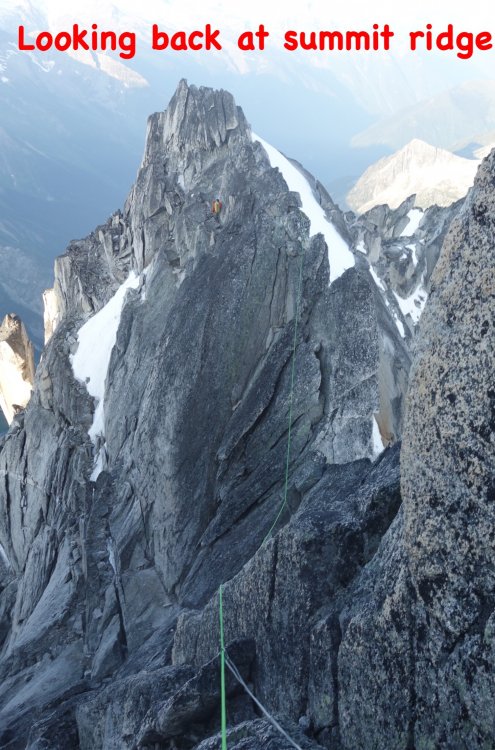
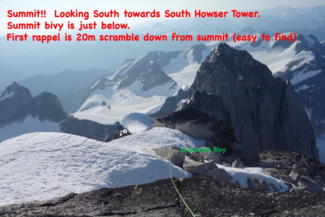
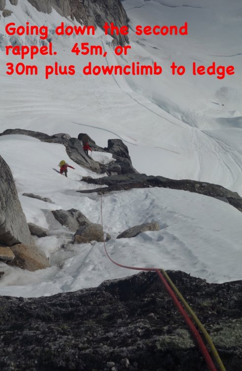
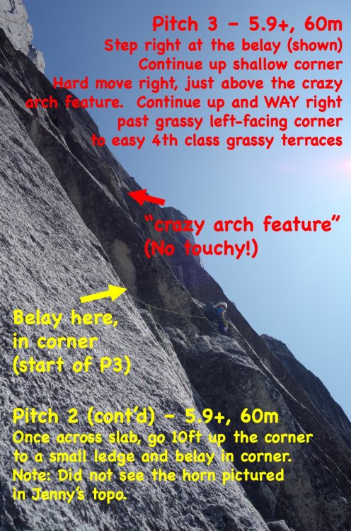
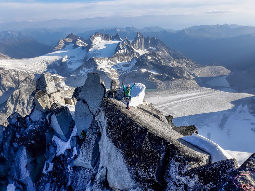
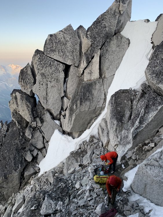
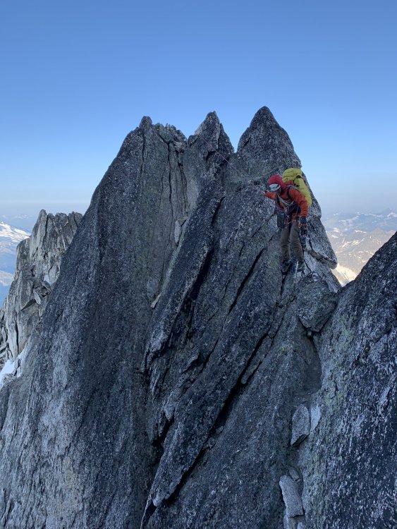
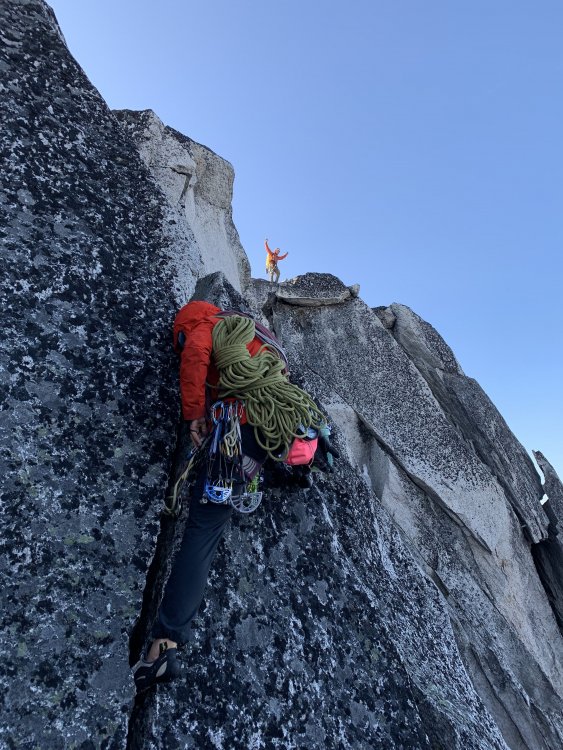
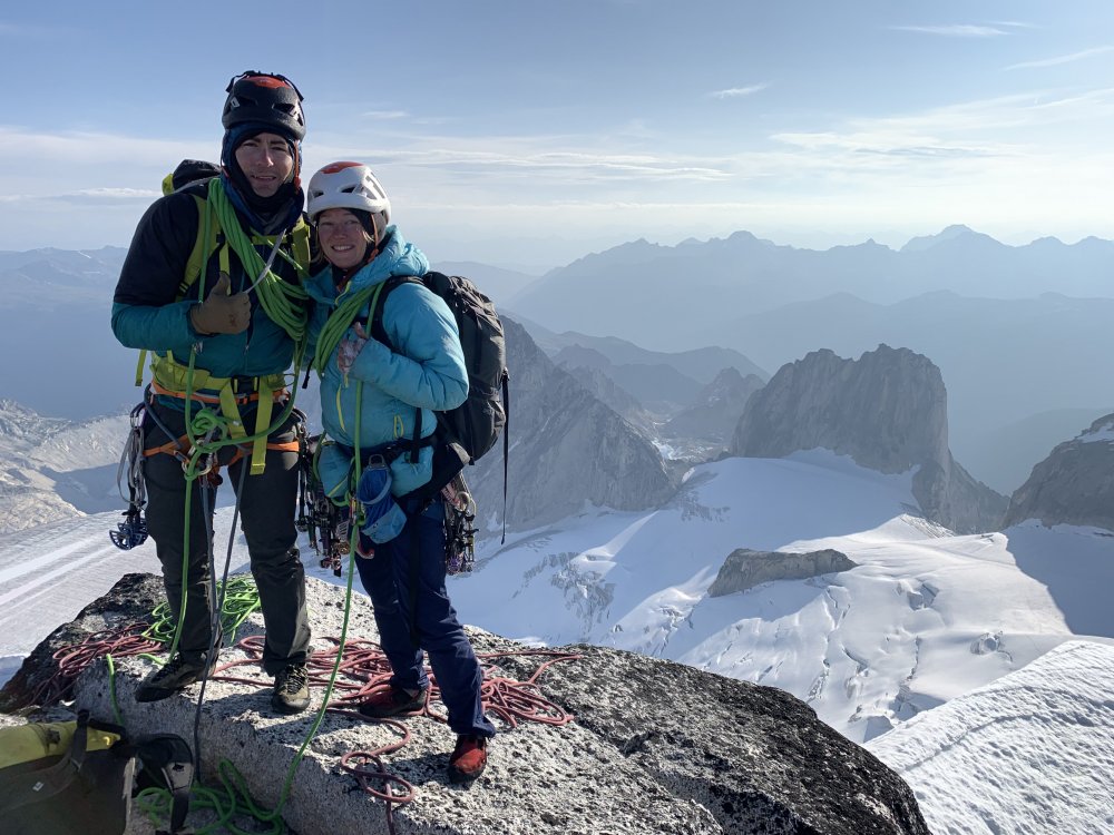
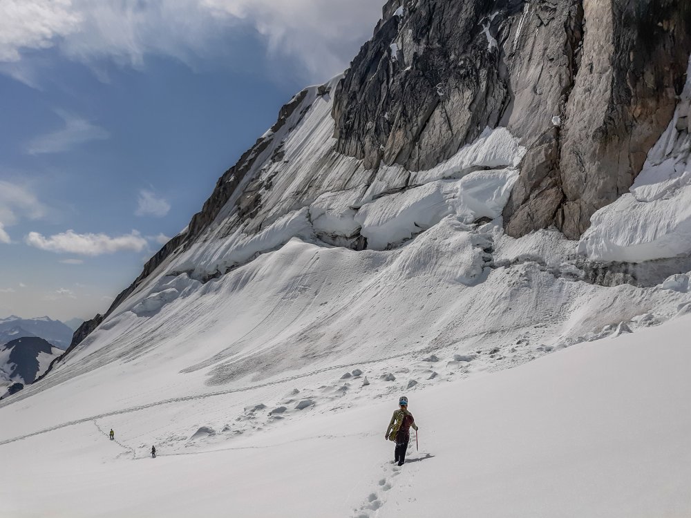
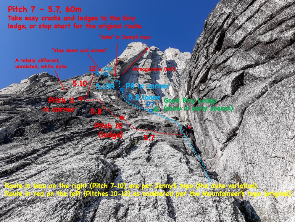
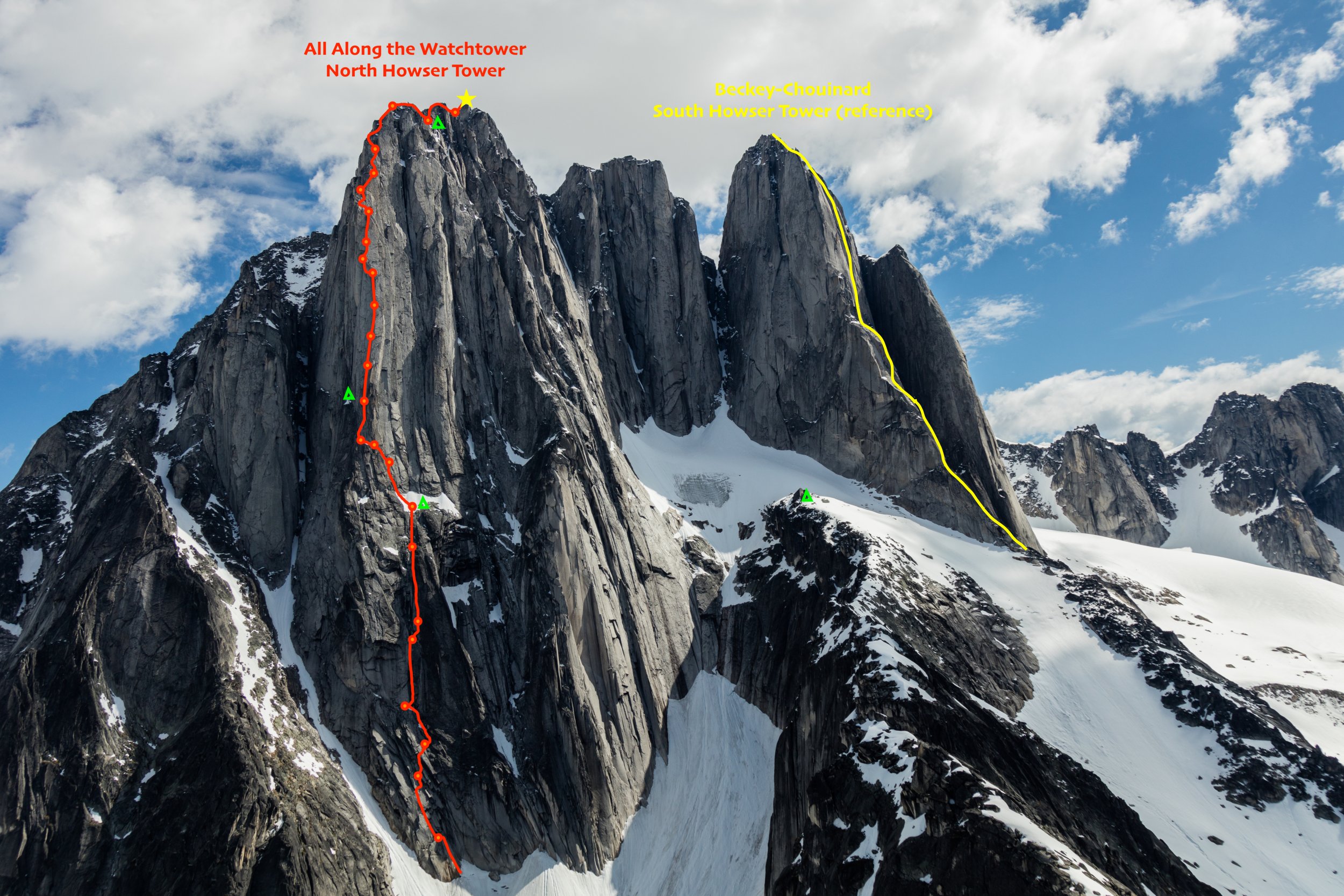
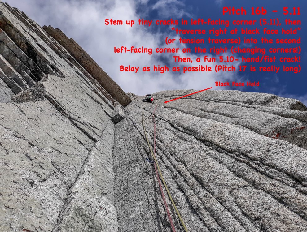
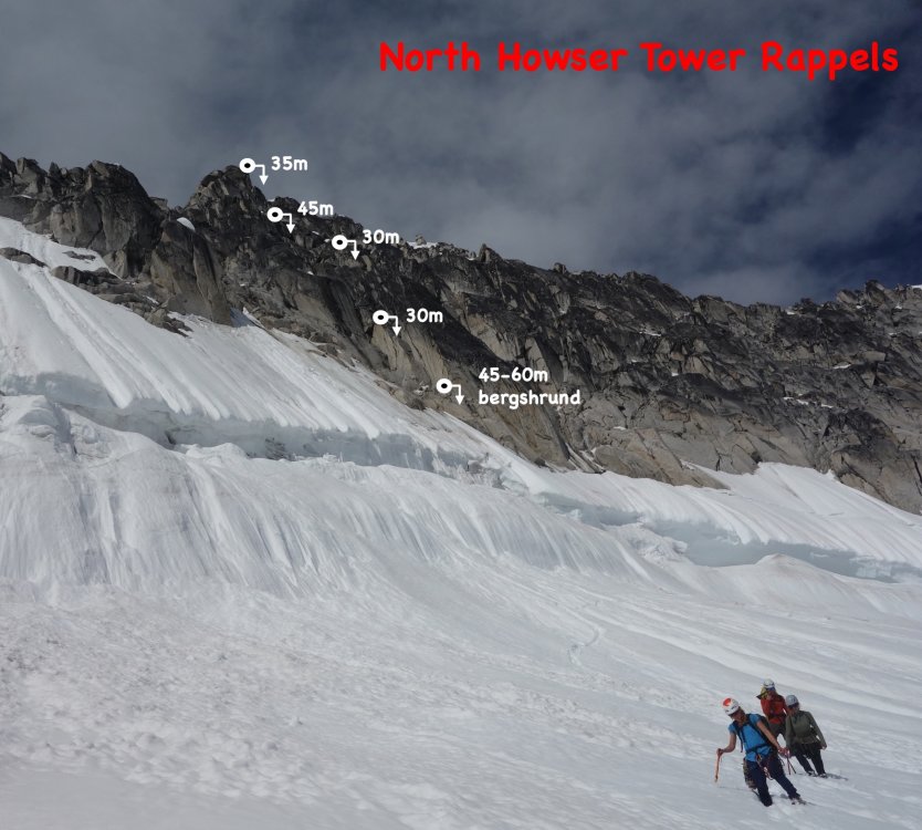
Trip: North Howser Tower - All Along the Watchtower Trip Date: 08/06/2019 Trip Report: Climb Date: August 4-6, 2019. Summit August 6, 2019 Climbers: Jeff and Priti Wright Climb: All Along the Watchtower (Grade VI, 3000ft, 32 pitches, 5.10/C2- or 5.12) Style: Follower jugged every pitch in the Dihedral with micro traxions and runners. Heavy French/Aid utilized by the leader in the Dihedral. Two packs brought. Leader climbed with light pack, except in the Dihedral (where follower jugged with one pack on, trailing the other). Two bivouacs (one at base of Dihedral and one on the Summit ridge). With so little beta out there on the route, we found the route finding tricky. This post is intended to be a beta sheet to help with route finding. All Pitch numbers are per Jenny Abegg's topo which was very useful (https://jennyabegg.com/climbing/trip-reportsbeta/all-along-the-watchtower-north-howser-tower/). Pitches 2 and 3 were confusing and we split each of these into two pitches. If you stay on route and watch rope drag, you can avoid splitting these up. They are both full-length pitches. Pitch 3 is so wander-y that rope-drag might be unavoidable - recommend splitting this into two pitches. Pitch 16 (5.12 crux roof) in the Dihedral was only pitch where we thought it was mandatory to disobey Jenny and split into two pitches. Topos Jenny's topo was pretty spot on. Pitches 8-11 on Jenny's topo are the dyke variation that Westman/Haley did (on accident) which ascends directly up from the bivy ledge. Jenny's topo does not show the original route option, which splits off 30m below the bivy ledge. If you wanted to get snow at the bivy ledge and continue on to the original route, you have to rappel or down climb 30m 5.7 to meet back up with the original route. The party behind us did the dyke route and we did the original route. After talking to the party who did the dyke route, it's very safe to say that the dyke is better way to go. The Mountaineer's guidebook (the green book) topo shows both the original route and also the dyke route options, but the High Col topo shows only the original route. The High Col topo is not accurate at all, so be careful. Keep a copy of Jenny's and the Mountaineer's topo on you. Bivy sites: -We didn't see any good bivy sites until atop Pitch 7 (flat, walled, snow in early season). Some descriptions said there was one atop Pitch 3, but it's more of a sitting bivy. -Another good bivy site is out-of-the-way, about 20m left of the base of the Dihedral (flat, walled, no snow). Some descriptions said this was 4-person, but it fit the two of us pretty snug. To get from here back to the base of the dihedral, you have to down-climb 10m (5.7) then ascend 10m (5.7) to the base of the Dihedral. -Some bivy options along the ridge (four of us stayed at one, very snugly, about halfway on the summit ridge above the seventh rifle gully). -A flat, walled bivy spot on the summit (lots of snow throughout the season). When we saw it, it had thick snow/ice on it, so you'd be sleeping on top of snow. Photo Credit above: Tim Banfield Descending down to East Creek from the Pigeon-Howser Col. Left to Right: North, Central, South Howser Towers, Minaret. Priti is just below the Beckey-Chouinard Route From East Creek descend until you can scramble up to the ridge. Stay low on ledges if you want to cross over into the gully ("B" in picture, not recommended, loose scree and hard ice). Recommend staying on the ridge (climber's right side, "A" in picture) as if approaching for Beckey-Chouinard on South Howser Tower. From the base of Beckey-Chouinard, it is easy to scramble down to the snow to traverse high over to the North Howser Bivy Rock. This is a big, obvious boulder just at the next ridgeline. There is a luxurious, sheltered, covered bivy cave here (recommended instead of East Creek if you only have bivy gear and you want to get an early start for the route in a push). Four rappels (two hangers, chains, rap rings) take you to the snow below. The first rappel is heavily cairned and easy to find (even in the dark), requiring a bit of down-scrambling to get to the lip of the ridge. The rappel line is straight down. Each rappel is easy to find and on obvious ledges. You'll want crampons and ice axe for the snow below, on the way to the base of Watchtower. We used a Beal Escaper for the rappels which worked like a charm... we did not bring a pull cord on this trip. Note: rappels shown in picture above are approximate (just use cairns to find the first one, then take the plumb line). The picture is not intended to help you find the rappels. The first rappel. Crossing the moat. Another party of rappelers above. The approach snow after the approach rappels. You're committed now! Looking up North Howser Tower. Approach at the base all the way left to big ledges just before the large, obvious gully. Take ledges all the way left to dihedrals. Pitch 4 (above), 5.10, full 60m: a striking dihedral (protect on the face on the right) which starts as an easy stem/chimney and ends in an overhanging, difficult off width. Photo credit: Dane Steadman Bivy site along ridge. Looking down the ridge from the summit. Photo credit: Dane Steadman "Hand crack on the right side of crest". Party on the summit. Photo credit: Dane Steadman Simul Rappelling over the bergshrund. Photo credit: Dane Steadman Joining up with the Beckey-Chouinard steps. Photo credit: Dane Steadman Gear Notes: Double Rack to #3. Single #4. Triples in finger sizes for dihedral. Offset nuts, brassies. Did not bring offset cams (did not think they were necessary). No aid gear. 1 sleeping bag to share. 1 bivy sac to share. 1 Jetboil. Beal Escaper for rappels. We did not bring a pull cord. Recommend a pull cord to 1:1 haul packs in the Dihedral. Approach Notes: Started from Kain Hut, ended at car.1 point
-
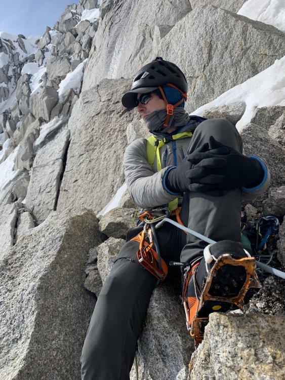
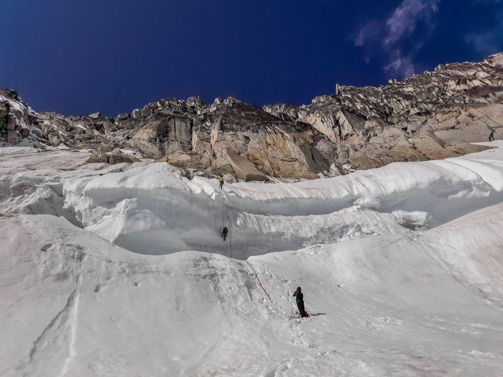
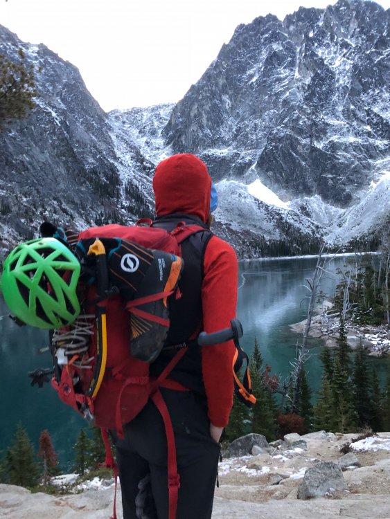
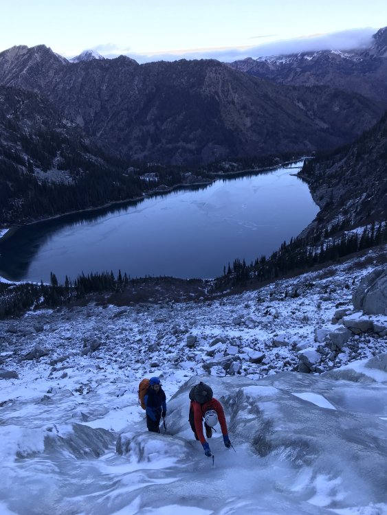
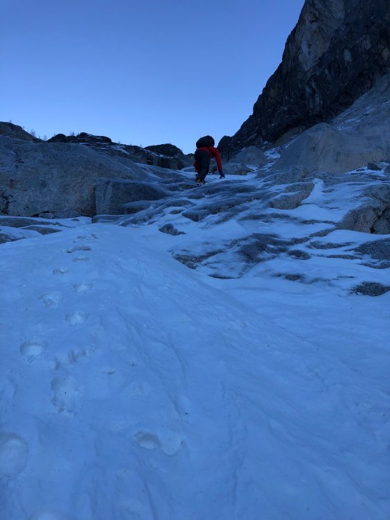
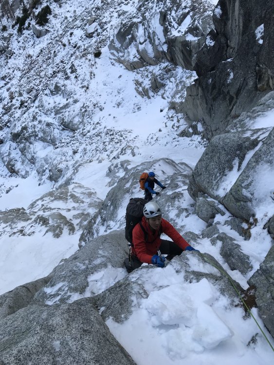
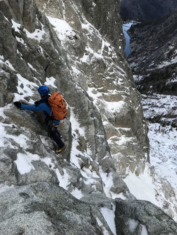
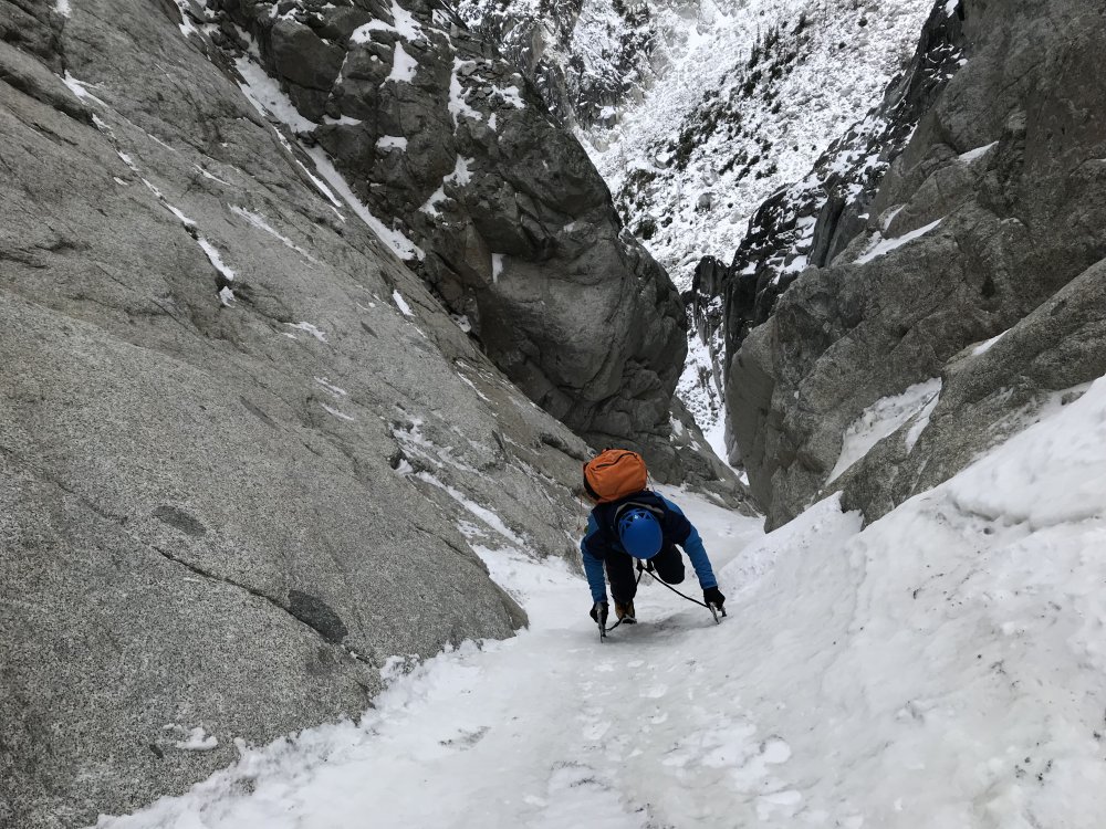
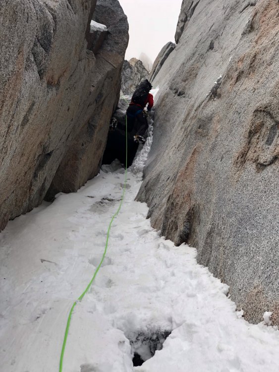
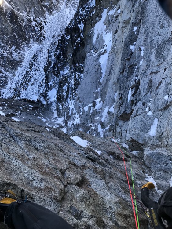
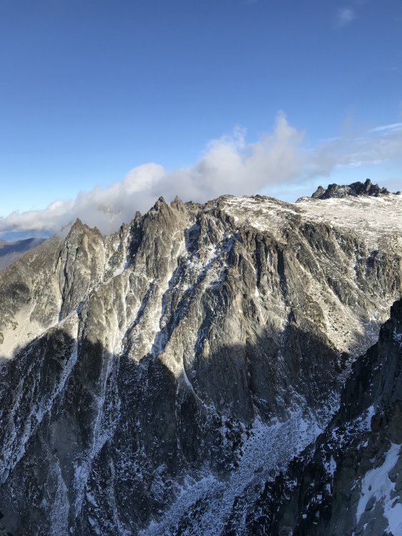
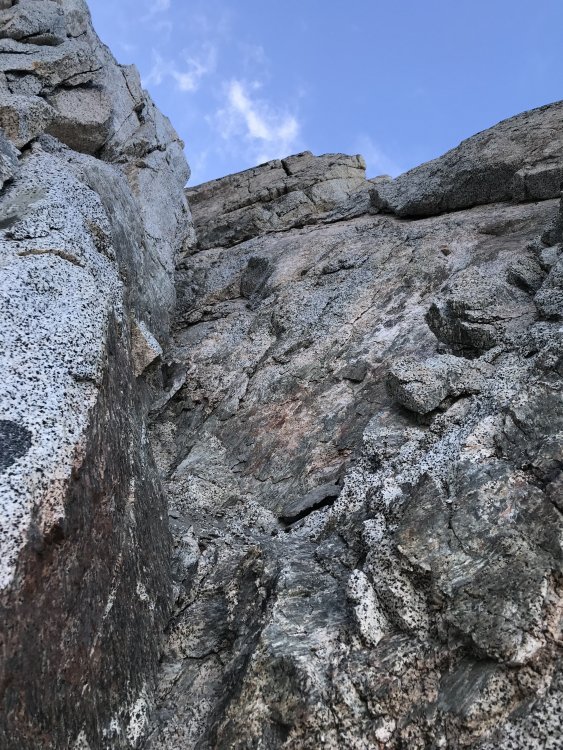
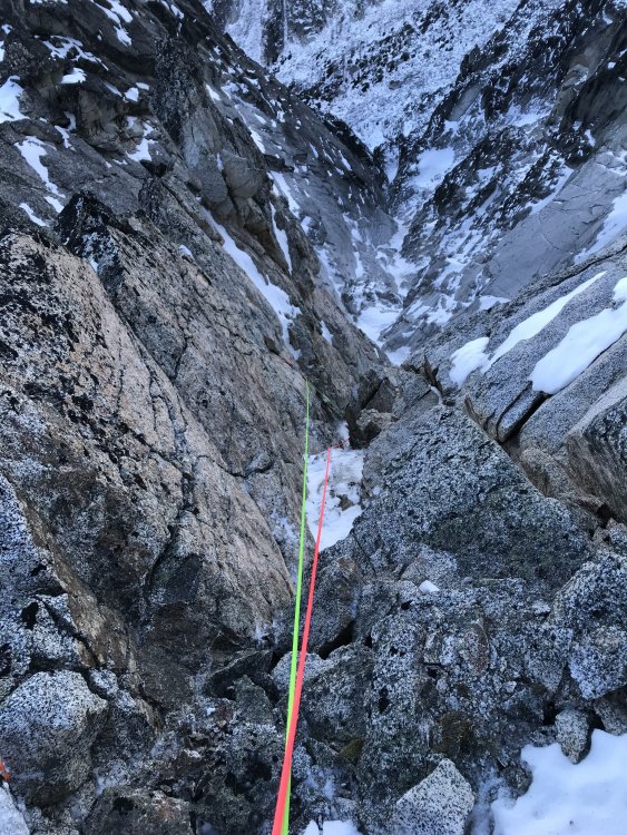
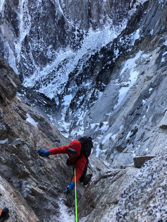
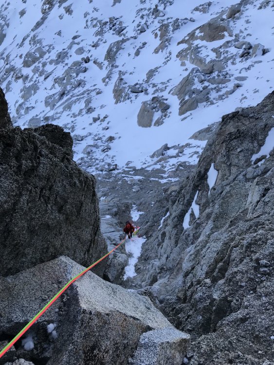
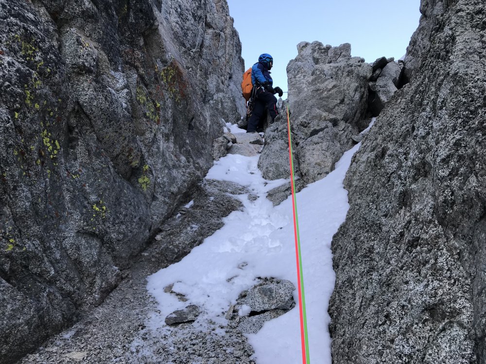
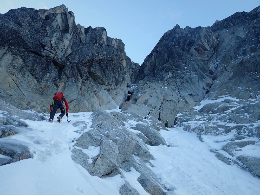
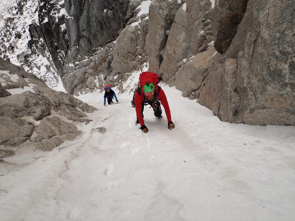
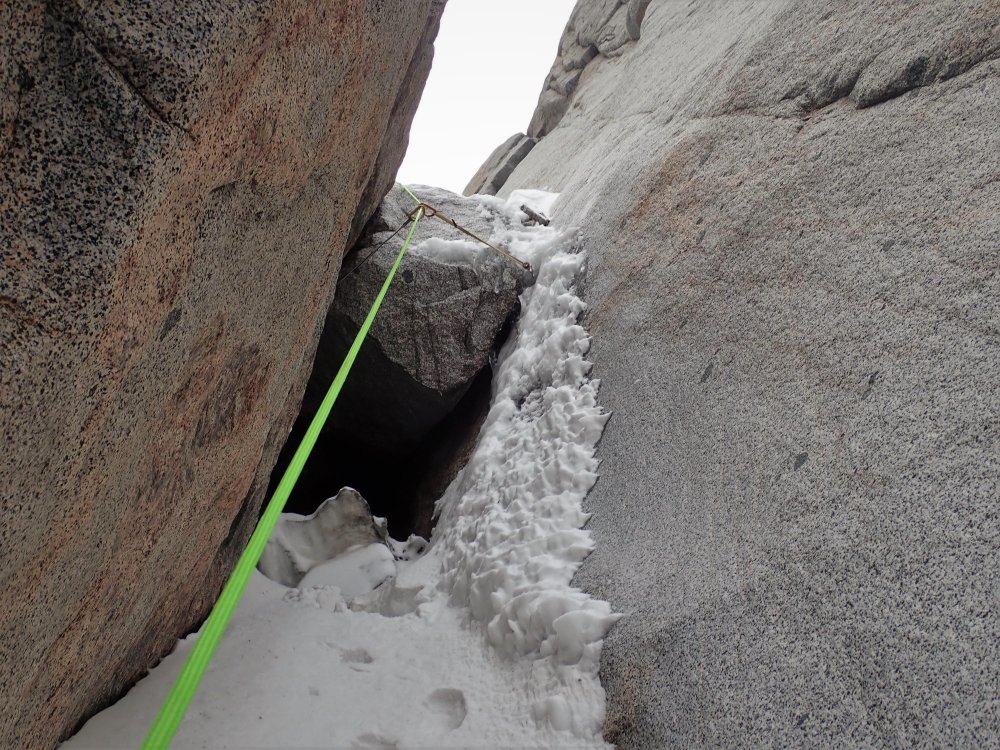
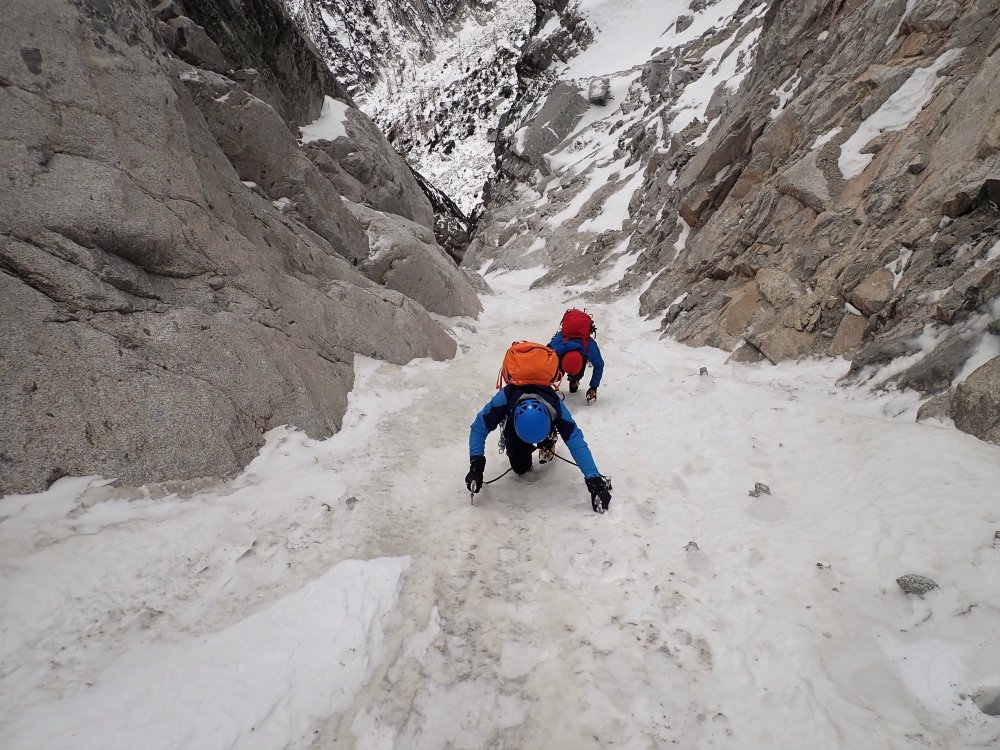
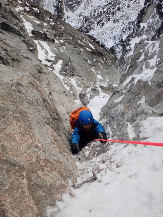
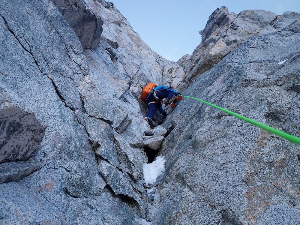
Trip: Dragontail Peak - North East Couloir Trip Date: 11/23/2019 Trip Report: I got out for a stellar day with Kyle and Daniel on Saturday (November 23, 2019). Following a few weeks of mostly high pressure and moderate temps, but with a storm front moving in, we were curious about conditions in the Stuart Range. Kyle brought this route to my attention, as I hadn't even heard of it. We found a TR on here from November 2008 and this inspired us to go give it a look. Be sure to check the trip from Kyles perspective at https://climberkyle.com/2019/11/23/dragontail-peak-ne-couloir-wi2-m5-r/ After leaving the trailhead around 5 am, we found more snow on the surrounding peaks than expected, which was promising considering the lack of recent precip, except for a day or two the week leading up to this. We knew the weather was supposed to deteriorate and winds were supposed to pick up throughout the day so we hurried to Aasgard Pass. We switched to boots and crampons where the creek down the pass was frozen and flooded over the boulders. At around 8 we started soloing up easy little water ice flows toward the base of the couloir. At the base of the couloir, we could see the first dry section that leads into the couloir and it didn't look too hard. We opted to rack up but solo up it. It was a tad techy so I fixed a cordelette as a hand line in a few spots for extra security. Above this, we were on variable steep snow. Throughout the couloir, we found everything from thigh-deep wallowing, to firm neve front pointing. About a third of the way up the couloir, there was a steep/overhung chockstone with a thin ice/snow flow on the right. I led up and over this with some mediocre gear (a tied off 10cm screw and a cam lower). Above this, we soloed a bunch more steep snow until our gully ran out of snow and we did a pitch traversing 30ft right over rock slabs to a different snowy gully. Now we were approaching the top of the couloir and it was starting to open up and become drier. Just 2 more pitches took us to the top but, wow, they were seriously full-on. The first pitch was a series of near-vertical granite steps with steep snow in between. This was perhaps the technical crux as there were quite a few delicate moves but also some dark brown ice that took good sticks, as well as generally good gear. I belayed off a horn, looking up at the last pitch, which appeared to be 100% dry. I was tempted to ditch the crampons but kept them on since the only bomber feet I had gotten on the entire last pitch were in the few small patches of ice and I was still hopeful that there would be ice above that I couldn't see. Once Kyle and Daniel got to me, I mentally prepared to take the sharp end for hopefully the last time of the day. There had been a lot hard and sketchy climbing already, and the hardest/scariest was still yet to come. I started up the pitch, immediately finding that the rock quality was deteriorating. I was mostly climbing with both my axes racked since the rock was so bad. It seemed like the majority of holds could be pulled off and gear was sparse. When I finally got good gear halfway up the pitch I yelled "take" and sat back for a sec to breath. I took a few photos, looking both up and down. From then on, I didn't get another piece of gear. Eventually, I could see the ridgeline 20ft above me and was eager to get there. All that stood in my way was a steep kitty litter chimney, devoid of any gear of course. At this point, I had my gloves off since I was just rock climbing with crampons and its nice to be able to feel all the holds that will inevitably crumble in your hands. I started up the chimney, with my pack pressed against the right wall, my crampons finding edges in the left wall, my arms finding chicken wings and armbars, and cursing like a sailor. Thankfully my gopro had already died. I wouldn't mind forgetting this pitch. Down below, Kyle and Daniel were experiencing a constant flow of gravel filling their hoods. I remember throwing one hand up over the ridge onto a jug and letting out a sigh of relief before mantling up and finding an extra bomber belay. The wind up here was absolutely ripping and I got cold quickly while belaying. I was wearing all my clothes and had sweated a bit on the previous lead. The forecasted winds (60mph) had arrived and there were now intermittent clouds, but the sky was still mostly clear. Our weather window was certainly closing. Kyle and Daniel enjoyed the pitch far more than I did and both arrived at the belay with big grins, especially since they could climb near each other and watch all the holds break off. Since I was cold and antsy to move I let them break down the belay and sort out the ropes while I looked for the "traverse to the notch." I found it, but accessing the notch looked just a bit spicy. I wanted to solo it but realized I was just cold and anxious to get down and out of the blasting wind and gravel so I lead it with one rope and gave each of them a terrain belay up to the rap station where a single 60m rap got us out of the wind and to a point which we could walk from. We were out of the wind and off the technical terrain. It was a big relief for me. However, the light was fading and Aasgard pass is never fun to head down. There was a set of tracks up to the summit proper of Dragontail which we followed downhill and down the pass. As the light faded I snagged a photo of the route from across the pass. It looked pretty impressive, I was briefly proud but mostly humbled. We talked briefly about the climb. Perhaps there were mistakes. It would have been possible to bail down the route once we saw how dry the upper pitch was. I was enticed to just climb it since the ridge was practically 80 or 100ft away and bailing down the route would have meant leaving gear and taken a lot of time. Hard choices. Of course, you will never know exactly how it will be until you're in the thick of it, but perhaps we/I made too bold of a choice and got lucky (on the other hand, down climbing the snow would have also been tricky). Food for thought for anyone who has made it this far through the trip report. I try to stay safe and climb hard, but its a tricky balance. Anyway, we got back to the car around 8 pm and headed to McDonald's. All in all, it was a very fun day with 3 competent 22-23yr old Washington born and raised climbers. And for anyone curious about this route right now, I would steer clear! In the coming days, I'll post some first-person climbing video on my insta @porter.mcmichael First, a photo of the route, taken on the descent. Looking up at Dtail Approach ice Still on Asgard Dry pitch to access the couloir Fun steep snow! Chockstone in the middle of the couloir Looking down on the last pitch (I think) Looking up in the middle of the last pitch From the ridge looking down the chimney Looking North from near the top Kyle on the last pitch Daniel on the last pitch Down the rap Gear Notes: 3 screws (placed 2), 4 pins and a bulldog (surprisingly didn't place any), nuts (placed a few), cams .2-2, some doubles in the smaller sizes (placed them all), 60m doubles. Approach Notes: On your right, halfway up Asgard, hard to miss it. The slabby approach pitch is the first obvious way to access the gully (farthest climbers right)1 point
-
Looks real boney at the bottom for you guys from the couple times I've done it. Chock stone was covered as well. Top corner looks typically dry though. Nice job guys. It is a climb I really enjoy. Easy modern mixed and dry tooling on some nice granite. This is Craig at the entrance we used and a line drawing of where it was. Bit more snow on the chock stone Never was sure where Ade's party entered. Figured they traversed over to the same gully entrance. Ade's photo below. We went up the little gully at the black dotted line both times.1 point
-
We are very happy to know that you are not dead yet. Welcome back!1 point
-
Wow! Looks much drier than it was when we climbed it:1 point
-
1 point
-
Here are some pictures of my friend Drew Philbin working out the moves on Never Never last fall. The crux occurs in the first fifteen feet...but the last part is no picnic.1 point


