Leaderboard
Popular Content
Showing content with the highest reputation on 08/07/18 in all areas
-
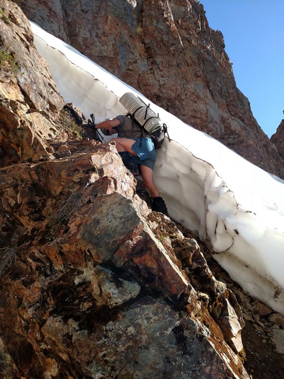
Trip: Juno Tower - Clean Break Trip Date: 07/30/2018 Trip Report: It seems like Gabe and I have had a track record this season of finding the most marginal weather in the state, then choosing to go for it anyways. From plenty of wet and cold days in vantage last winter to an early season one day climb of prusik in a Blizzard, and a very cold and rainy day in the liberty bell group. This climb was no exception. On Sunday we drove over from Seattle and after cragging a little in the shady icebox canyon we stashed a bike and some Gatorade just off the road at the wine spires pullout. On our drive down to Winthrop for dinner we stopped by the Cutthroat lake rd to chat with the ranger who was stationed there. He informed us that the fire was under control and that it likely wouldn't impact our climb the next day. The next morning we woke up at 3am and left the car at 3:30 in an attempt to get to the base at first light. With a weather forecast of 90 on the summit of Silverstar we knew it was going to be a hot one. It was. Gabe trying to get us un-lost on the approach. The route basking in some nice alpenglow as we cross some slabs below the base. The first pitch is the stellar tight hands splitter on the right side of the blank wall. We got up to the base by scrambling up the chossy gulley to the left of the snow. There was an exciting 5th class mantle at the top that some might want to rope up for. No need for snow gear! I quickly learned on the first pitch that 1.)over 3 liters of water is heavy. 2.)warming up on 10c with a heavy pack is hard. And 3.) it's already damn hot and i'm sweating a lot. Somehow I managed to pull off the OS and was glad to have triples in .5 & .75. The rest of the route went pretty smoothly despite feeling like shit while baking in the sun. Luckily our packs were getting lighter really fast! Gabe styling the 10a roofy slabs. Gabe fighting with a tree on the 5.6/5.8 traverse pitch Pretending to be having fun while trying not to vomit from heat exhaustion. Moments before Gabe threw a hissy fit because our friend Jeff told us we didn't need a 4 for this pitch. The perfect rack would be one 3 and one 3.5. We had 2 3's and the crack gets wider than a 3 at the lip. Gabe didn't like that. Some of the first shade encountered on route. Trying to use the cold rock to cool down. More shade on the big ledge before the simul block to the summit. This was a real life saver though a big time suck. You're apparently supposed to stay right of the ridge crest here for more enjoyable climbing. I think we passed the only spot to get over so were forced to climb the lame sandy gullies to the left. Can't say I recommend them, but they get you to the summit. Summit stoke! We topped out at 1pm for a time of 9:30 C2S. Not too bad for how crappy we were feeling. Looking up Vasiliki ridge. One hell of a traverse! The descent follows the "obvious gully" then traverses left and down A LOT back to bench camp. There is plenty of kitty litter on slab skiing along the way to keep it exciting. Overall Clean Break is a stellar route with high quality rock and not a whole lot of routefinding issues to be had. This makes for a relatively fast 15 pitch 5.10 in a rad location. We really learned our lesson not to climb big routes on such hot weekends, and to bring a filter, not iodine if we end up doing it anyways. Half an hour is far too long to wait when you are that thirsty. Gear Notes: Rack: Doubles .2-3, Triple .5 & .75, A few nuts, 2 microtraxions. Either replace the second 3 with a 3.5, or just bring a 4. We brought 4 liters of water each. We should have brought a filter, chugged water at the base, filled up 3L, then refilled at bench camp. 2 UL poles, no axe Approach Notes: Silverstar creek trail is not super straight forward to follow in the dark so I definitely recommend having a GPS track on your phone to follow, it helps speed things along a bit. Same goes for the descent.1 point
-
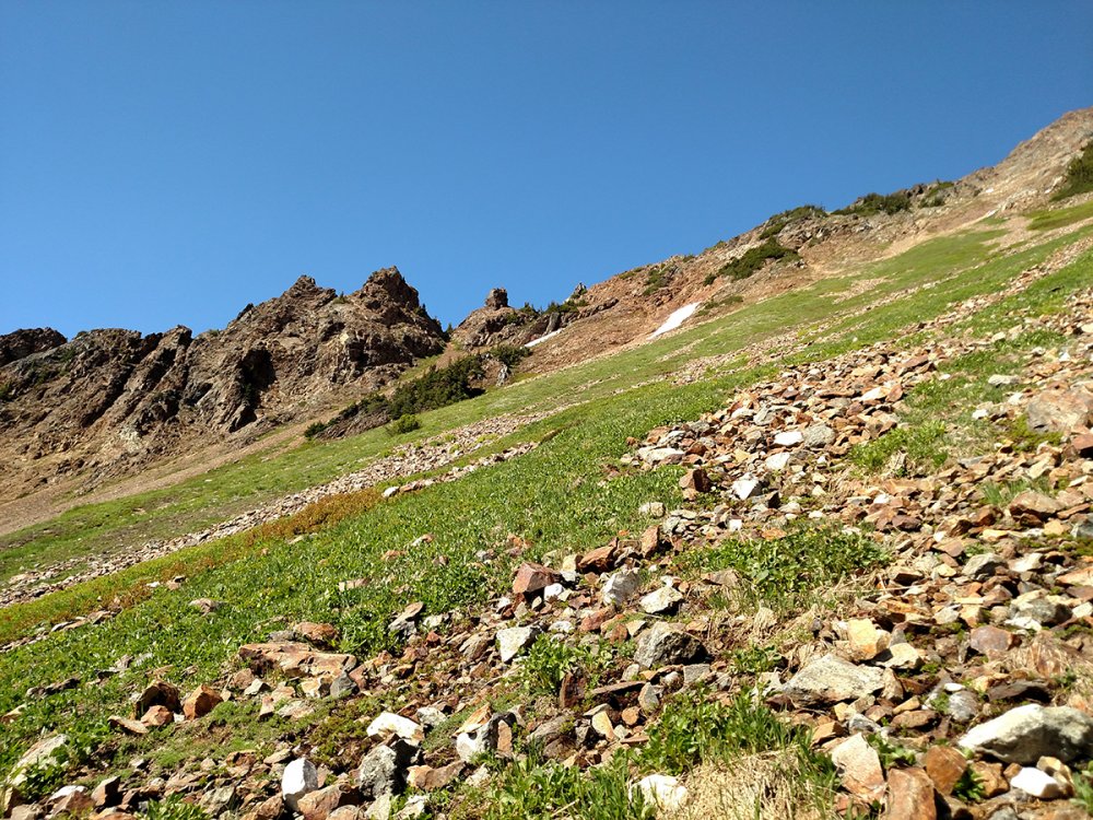
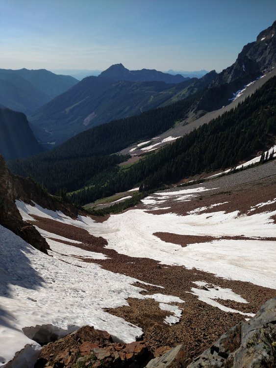
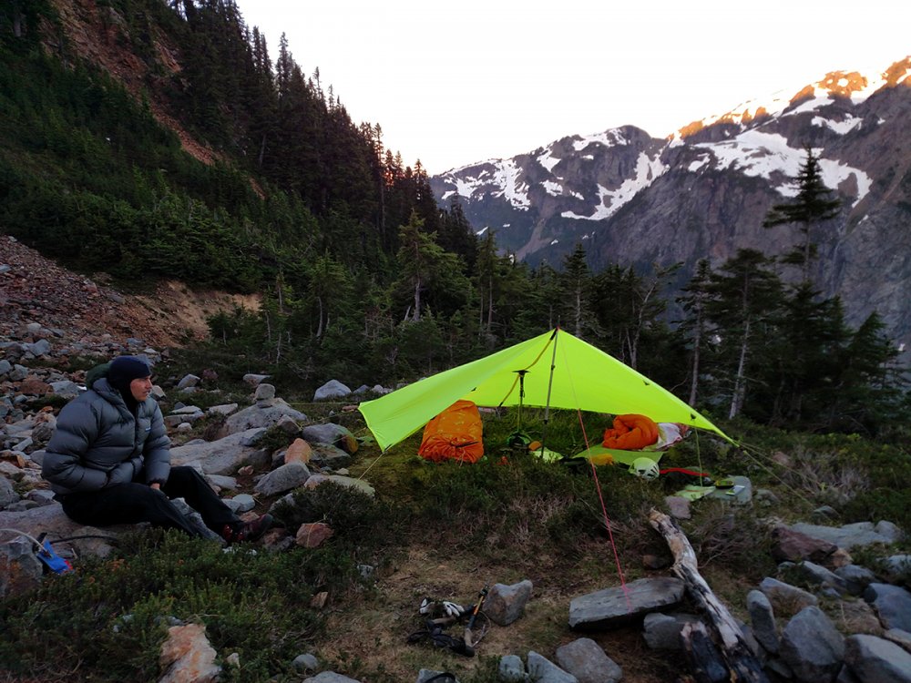
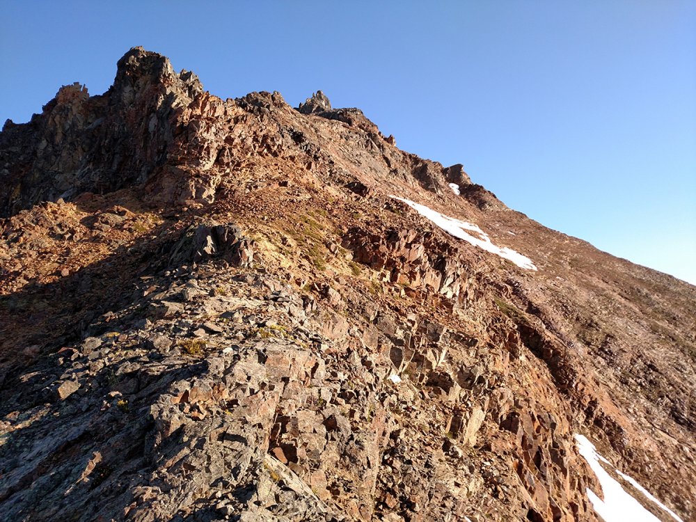
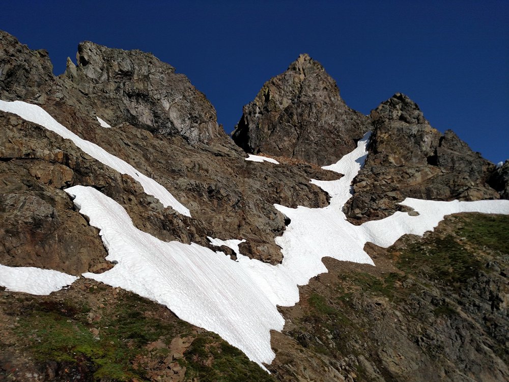
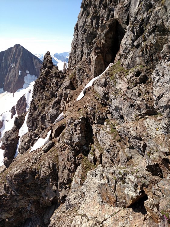
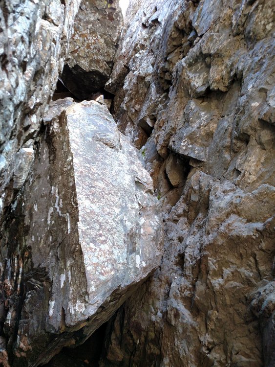
Trip: American Border Peak - SE Traverse Chimney Route Trip Date: 07/14/2018 Trip Report: Cascade Pass Road was still closed past the Eldorado parking area. Well shit! Time for plan B. Or Plan A if you like an epic climb for the ages! I texted DanO and asked if he was ready for some pain, he said sure. I see several reports of American Border Peak being climbed in September and I thought, "Why not try it in mid July and take one for the team?". Twin lakes parking was packed because the weather was perfect and it was the weekend. We arrived at the trailhead and were on the move at 11:30 am. There were several patches of snow to cross along the way to High Pass which was a bit tedious but it was part of the glory of early season. Once to High Pass we started down into the 1st gully. A word of advise, stay low in the gully and wrap around the bottom of the rib through the trees to the 2nd gully. We went high in the 1st gully to cross to the 2nd gully and it resulted in slow travel and a skinned ass, again adding to the glory. 1st Gully from High Pass 2nd Gully looking toward 6300' Gully to Col The second gully was quite pleasant, less rock and lots of green. We aimed for the notch at 6300'. Getting up to the col and down to the 3rd gully required some patience with the loose rock. We reached camp at the base of the talus slope in the 3rd gully at 6:00 pm. 3rd Gully from 6300' Col Camp at the base of the talus in the 3rd Gully DanO decided he was fine with hanging out at camp for summit day so I left for the summit solo at 5:45 am. It has been said that this route to American Border Peak has lots of loose rock and that is the absolute truth. Make peace with slipping constantly or it will drive you insane. Rocks will be falling so if you are climbing in a group, keep it tight or spread out. The terrain is steep to go along with the loose rock so make sure of your footing or pay the piper. I topped out on the 6900' col at 7:15 am. I was happy to see the snow was not an issue for the SE traverse to de Gaulle's gully. After getting to the top of de Gaulle's gully, I had to take some time to figure the best option for crossing the snow covered, steep hillside as well as the snow filled gully up to the ledges. It was gut check time. I decided to climb down and diagonal to the base of the snow and edge along to the base of the snow gully. The snow gully was steep and the snow was not in the greatest of conditions. I followed some goat tracks up the snow gully carefully kicking steps and planting my ice axe. I love mountain goats! They always seem to be looking out for me on the mountain, like guardian angels. I was very happy to make it to the top of the snow gully without incident. Once to the top of the snow gully I could see the route had very little snow remaining. The ledges leading to the chimney were wide enough to move fairly quickly. There are 3 chockstones wedged in the chimney. The bottom chockstone requires the most skill to climb. Since I was going solo, I decided to do the 4th class work around to get above the bottom chockstone. The rest of the chimney is still solid 5th class so take your time. Once to the top of the chimney you will have to go under the top chockstone and wiggle through a hole commonly referred to as the keyhole. It is a tight fit so you will probably need to push or pull your pack through separately. There is a great camp site below the summit after the keyhole. The summit from the keyhole is class 3 to 4. I finally reached the summit at 10:45 am. The view was great and I was feeling good. Time to head down. I started down from the summit at 11:20 am. There was a new rappel sling around the top chockstone complete with a donut, very nice. I had a 40m static rappel rope that worked perfect for the rappel down the chimney. There is a second rappel station halfway down the chimney. I rappelled the majority of the way down the snow gully then worked my way across the ledges above the snow to get to the top of de Gaulle's gully. The rest of the descent to camp was loose rock slipping and sliding but controllable. I arrived at camp at 4:00 pm. DanO was happy to see me alive and in one piece. The summit and back took a lot of time. I needed to be back home the next day so we decided to pack up camp and head out. We made it back to the car at a midnight exhausted and happy to be done. The night was beautiful and full of stars. This is a challenging climb and I am glad that I waited a few years to get more experience on other climbs before attempting it. This will go down as one of my favorite climbs. We are not freaky fast climbers and we are not super slow either. Taking that into consideration, here are the times for the climb. Day 1: 11:30 am (left car) to 6:00 pm (camp) - 6.5 hours Day 2: 5:45 am (camp) to 10:45 am (summit) - 5 hours, 11:20 am (summit) to 4:00 pm (camp) - 4hr40min, 5:30 pm (camp) to Midnight (car) - 6.5 hours. Total time for Day 2 - 18 hours Doing this climb earlier in the year is a lot slower than later in the year. If I had to do it again, I'd do it in 3 days and enjoy the experience. We brought crampons, ice axes, trekking poles and a 40m static rappel rope and we used everything. Gear Notes: Crampons, Ice Axe, Trekking Poles, 40 meter static rope, Helmets Approach Notes: Started from Twin Lakes parking lot.1 point
-
You know @wayne, you were mainly the reason I had it on my list! I seem to remember you talking it up many years ago and it lodged in my brain. Glad the TR brought back some memories. Glad to have helped add some info to the interwebs @joe_catellani @willithewanderer!1 point
-
Calvin was a force of nature who, unfortunately, I had the chance to hang out with only once. It was at a Mount Erie clean-up event he hosted in Dallas Kloke's honor, the year after his passing (2011?). Afterwards we climbed Zig-zag in memory of Dallas, Calvin with a rope tied around his waist and in Nowegian welt boots- just like Dallas had done on the FA. RIP Calvin, you are missed.1 point
-
Great work, young man. Seldom have I felt as relieved to be in the Cascade Pass parking lot (or any parking lot, post-climb) as when Bob Davis, Jim Nelson and I arrived there in the early evening on day two of what was supposed to be a day trip up the N.E. Buttress, in July 1999. Aside from being "overdue," we had down climbed the CJ Couloir and were very lucky to avoid serious rockfall. It was stressful. Our relief was short-lived, however, when we heard and then saw the N.C.N.P. Rangers heading up-valley in a chopper. After the whirlybird landed in the picnic area, the ensuing conversation with Kelly Bush is one I'll never forget. She and I reminisced at Fred's memorial. Also, a shout out is in order for the late and great Doug Walker, who suggested the ridge crossing on a different trip to J'Berg. I was skeptical but it worked, and the name "Doug's Direct" in my subsequent TR seems to have stuck. R.I.P. Doug.1 point
-
Trip: Goode - NE Buttress Trip Date: 07/22/2018 Trip Report: I've had this route on the calendar every July since 2012 and every year something has thwarted me (partners dropping, rain or thunderstorms in the forecast, etc). Last year was the only year I actually had boots on the trail and we ended up with a late start and making a route-finding mistake after crossing the N Fork of Bridge Creek that cost us the climb. This year the stars finally fucking all aligned and it was glorious! The view of the final approach after crossing the knee-deep N Fork of Bridge Creek. Follow talus between the lower slide alder up to the waterfall on the left, climb slabs to its right, then ascend talus through "magic tunnels" and onto open terrain. We bivied at 5600', just below the glacier. Last year we neglected to check out these slabs next to the left-most waterfall until it was too late. This year we went right to them. The slabs are exposed and a bit butt-puckering with full packs, but not enough to motivate us to get out a rope or give us pause about this endeavor. Opportunities like this (4 days of clear weather, motivated partners, time off work) are not so easy to come by in mid-to-late July, and I am not getting any younger. Ascending the Goode Glacier in the morning. It was broken up and we had to navigate crevasses and seracs. Nothing too serious. We all wore approach shoes, which worked well enough with crampons (I had my Grivel G1's that I got via a gift certificate from cc.com a few years ago, purchased at Jim Nelson's store). From TRs we knew that the higher up you gain the buttress, the less pitches of loose shittiness you must climb. Lower down you might get up to three pitches and up high as few as one. We opted to try for a snow bridge up high and found this one at about 6800'. It involved one face in move with a low step to block of ice. It might not go now, but there appeared to be a few other place to gain the rock below this that might last longer. We did one pitch of low-mid-fifth class rock then simulclimbed until about 8000'. I think we had a total of 3 simul-leads, with transitions only due to rope drag. I did not place much pro on these. When the buttress steepened we pitched 4 or so pitches and got to the bivy alcove at 8600'. From there 3 pitches to the ridge crest. It was lat-ish (6:30 pm) and 4 people were ahead of us and going for the summit. Figuring they would all bivy on the limited space there and seeing a nice snow patch at 8900' right next to a small bivy site we stopped, made dinner, drank water, drank whisky, and enjoyed a spectacular sunset: In the morning we waited for one of the parties to rappel. We saw them around 6 am. They said the other party was still hanging out so we headed up. After two pitches we were on the summit. We stayed on the summit for well over an hour, savoring the views. Having had been on the S side two years ago to climb Storm King, I knew we had a long day ahead. We started down. Truth be told the SW couloir and the trail down to the Park Creek trail was unsavory, and we got several blisters in our approach shoes. There is a nice spot to camp at about 7200'. Having been here before, we headed for it and looked for a stream out of the snow pack. We took a long break here to get water and savor views one last time. The views of Sinister and Dome, the rest of the Ptarmigan Traverse and Buckner are spectacular. From here it took us 3 hours to get to the "nice" trail. The length of the day and this trip with full packs was starting to take its toll. A few hours on the 4 miles to the base of this trail, then a connector (2.5 miles?) to the PCT, and about 3 more to the N Fork Camp where we had stashed food and a fuel cannister. We arrived at camp at 9:40 pm. I have never enjoyed a Mountain House more. Sadly, I had no whisky left. In the morning of the fourth day, we hiked out the last 10 miles, where beer awaited in the truck. Gear Notes: Ice axe, crampons, appoach shoes, helmet, small alpine rack with several double slings Approach Notes: Long, brutal1 point
-
Trip: Noisy Diobsud/Stephen Mather Wilderness - Bacon-Hagen-Blum High Route Trip Date: 07/20/2018 Trip Report: From July 20th-23rd Dave, Darren, Matt and I traverse from Anderson Lakes to Blum Creek summiting Bacon, Hagen and Blum along the way. The route is characterized by excellent views of the Baker and Sister Range to the west the the National Park to the east. Awesome camp sites and outstanding alpine lakes make this a most memorable route. Brush bashing wasn't all that severe save the walk down Blum Ridge to Baker River. You won't find me walking up that route anytime soon. I have been doing trips with these guys for nearly 20 years and I am ever thankful for the friendships and the adventures over the years. I would like to have an intense conversation with the douchbag that left a pile of trash shoved under a rock and shitty TP strewn about at the high camp SW of Bacon. Beer cans and mountain outhouse bags don't decompose and it doesn't seem that difficult to pack out your trash. Alpine eye candy Gear Notes: Ice axe, light crampons, and glacier rope. Approach Notes: Anderson Lakes to north side of Mount Watson.1 point
-
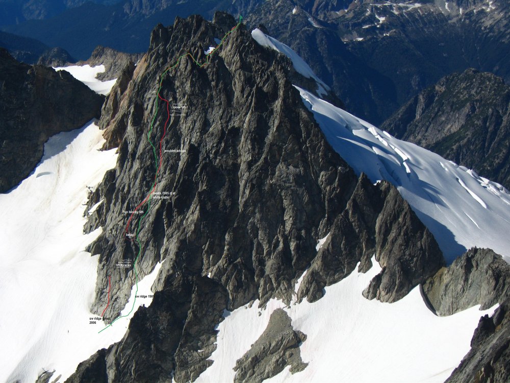
Trip: Sloan SW Face - Fire on the Mountain (FA/FFA) Date: 8/30/2009 Trip Report: Short version: Fire on the Mountain: FA/FFA on the SW face of Sloan. 8 pitches, 5.10+, III+ (1100ft of technical climbing on steep, clean rock plus 500ft of scrambling to the summit). Blake Herrington and Rad Roberts. Long version (photos and video by Blake Herrington): Descending Sloan after a moderate jaunt up its West Face, AlexK and I gaped in awe at the sheer Southwest face of the mountain. Alex later commented, “Walking along the base of the SW face was like walking along the base of the Upper Town Wall at Index...line after line of really awesome steep granite rising directly from the steep slope vertically for many pitches!” Alex looking up at the SW Face of Sloan, 2006 (new route starts just off the frame to the right.) With a bit of hype and a few Scurlock photos, I was able to convince Blake to take a shot at this worthy objective. Morning mists enveloped us as we coaxed my old car up FS4690 to the Bedal Creek trailhead. We walked through old growth forest and followed the cascading creek to the base of the immense West face of Sloan. Although this impressive face surely holds more good lines, we continued on to the SW face. The mists burned off as we left the forest for heathery meadows and ripe blueberries, wasting precious minutes on the jaws of a giant. Upon cresting the final ridge, I was pleased to see that the SW face looked just as steep and clean as I’d remembered. Several lines looked good, though they would need some gardening on the first pitch. We chose a prominent left facing corner leading to a chimney (upper right in the photo below) and some thin cracks up a face. Blake getting dressed for work. We should all be so lucky I asked for and was granted the opportunity to lead the first pitch. I did a little gardening at the start, but the rock was quite solid and protectable. My calves started to burn as holds ran out and the corner turned into a chimney, but an exit onto a small stance provided a rest and revealed a series of spectacular, clean finger cracks soaring straight up the wall. Working up these, I felt the fire spread to my forearms. I rested when possible and carefully contemplated each tricky section, hoping to honor this fine line in good style. Blake was very patient. Fortunately, the rock and gear were solid so it was easy to go for it. I cranked through the crux and savored juggy moves over a final bulge to a belay atop a pillar, whooping with delight on completing the onsight. Blake joined me, casually shooting video just after the crux. [video:vimeo]6387846 This would prove to be the hardest pitch of the day, perhaps 5.10+ or 5.9++ or 5.11-. Ratings reflect only one aspect of the experience, and often they distract from the essence of a climb. For me, this pitch alone was worth the price of admission, with 45m of sustained, outstanding, well-protected (I placed about 13 pieces!) climbing on solid rock, with multiple 5.10 sections and a really fun crux. Blake then headed up the next pitch, linking clean vertical and horizontal cracks and a few face moves to a belay at a ledge. [video:vimeo]6387982 This section was reminiscent of the upper pitches of Loving Arms on the Upper Town Wall at Index and various routes on Lover’s Leap. I let Blake take the third pitch as the second pitch was rather short and I’d poached the best pitch from him on Tower a year ago. P3 started in a finger crack and then headed up a series of golden flakes, dikes, and buckets. I did a hand traverse left under a large roof to move the belay and then shot up a steep right-facing corner, brushing lichen off key footholds along the way. The angle eased a bit and I cruised up to the giant heather ledge that splits the face. Lots more steep, clean, featured rock loomed above us, and we were shocked to see it was already 4pm. Go time. Blake floated up a left-leaning crack system and a perfectly clean OW corner to a belay on a pillar. There we found two old pins. Someone had come this way before (see comments below). I danced up a steep face peppered with protruding dikes, managing to sling a giant knob and slot a cam in a small crack. The end of this pitch featured a steep finger crack in a corner with an old pin. I clipped this piece of history, but images of it failing motivated me to crank through without weighting it. Entering the crux of p6 (note slung knob in foreground) Sunshine, silence, and sweeping views of the Mountain Loop and Monte Cristo peaks enveloped us. We savored the pristine wilderness setting. Blake then lead a 60m rope-stretcher to a stance just below another large ledge. Dehydrated and fried from hours of exertion in the sun, I offered Blake what we hoped would be the final lead of the day. It didn’t disappoint, with a hand crack around a roof bulge and a rising traverse on positive flakes to a final corner. We unroped. It was 7pm. Our water was long gone, and my moxie had long since moseyed. Although I had descended Sloan before, I didn’t relish the idea of rappelling and down climbing in the dark with one headlamp between us. But Blake had never been to the summit, and we needed to complete the route, so we stashed our gear and scrambled to the airy summit. We signed the register, snapped a pic, and turned to head for the stable. Note moon in background. I staggered heavily (Blake scampered lightly) back down to our packs and we admired a stunning sunset as we started the rest of the descent. We rapped to the sloping ledge as twilight turned to night, but the moon cast its gentle glow on the descent slabs and the air was perfectly still, as if Sloan were gently ushering us back down to safety. Our ropes just barely reached the snow, but it was quite hard and our tennis shoes, one ax, and lack of crampons didn’t inspire confidence. Blake chopped a bollard and we rapped down to lower angle snow. The sound of running water drew us to a small waterfall of snowmelt where we drank deeply and split a Theo chocolate bar, smiling in the moonlight. We retrieved our packs, including my headlamp, and headed toward the trailhead. But there was still one more obstacle: BLUEBERRIES! Evening dew had started to collect on the blueberry bushes at the top of the open slopes of the Bedal creek basin, and our feet skidded out each time we tried to take a step. Glissading seemed possible, but test runs showed the acceleration rates would be more like hard ice than soft snow. The ground was very hard and there was no way to hang onto the wet plants. Self arrest would be impossible. Death would be swift and sure. I could see the headline already, “Climbers die on blueberry slope.” I pictured the deadly rabbit in Monty Python’s Holy Grail. We’d climbed a striking new route but been bested by some damp blueberry bushes. Actually, I’m OK with that. We decided to stick to the dense, prickly evergreen shrubbery on an adjacent ridge. We thrashed down that and rapped off a 4ft pine when we got cliffed-out above more evil blueberries. The remainder of the descent went smoothly. The Darrington payphone ate my quarters while trucks of teenagers cruised the minimart in the wee hours. We drove to Arlington through misty fields, wolfed down tasty food at Haggen, and headed back to Seattle, arriving after 3am. My body attended morning work meetings, but my spirit was still in the mountains. When the rains settle upon us and sun-kissed alpine rock is removed to daydreams, this is the trip I will replay again and again. Thanks for a great outing Blake, and for giving me the first pitch, the last swallow of water, the only ice ax on the hard snow, and good conversation to pass the hours on the trail. ……………… Fire on the Mountain, 5.10+, III+, 8 pitches, 1100ft of technical climbing and another 500ft or so of scrambling to the summit. All free, ground-up, onsight. The route starts in a prominent left-facing corner that turns into a chimney. This is about a hundred feet right of a prominent right-facing corner, and 200ft right of a vegetated crack leading up the diamond feature in the photo with Alex. Pitch 1: Tinderbox. Start in the obvious left-facing corner below a chimney. Stay right to avoid vegetated cracks at the top of the chimney, and step right to a small stance. Climb straight up finger and hand cracks to a belay at a decent ledge. 45m, 5.10+. Pitch 2: Lightning strike. Move right to a pair of hand cracks in a corner, ascend the right one and hand traverse right to a small stance. Link face features and small cracks to a good ledge and a belay. 33m, 5.10-. Pitch 3: Bucket brigade. Start up a thin crack and then move onto a face with golden buckets, flakes, and edges. Ascend a prominent corner under an OW roof crack and then hand traverse left under a giant roof to a belay stance out left. Future parties may choose to link p2 and p3. 34m 5.10-. Pitch 4: Controlled burn. Delicate moves up a right facing corner lead to friendly flakes and dikes and a giant heather ledge that bisects the SW face. 40m, 5.8. Pitch 5: Firebreak. Ascend a left-trending crack system near the top of p4. This leads to a clean ramp and a stellar golden dihedral with an OW crack (one #4 useful here). Finish on a pedestal near old pins and some cracks. 45m, 5.9. Pitch 6: Alpine ladder. Scale a steep face on amazing dikes, follow the ladder leftward up hero climbing, and finish up a steep corner with a pin. 40m, 5.10. Pitch 7: Smoldering embers. Shoot straight up the featured face to a giant heather ledge. 63m, 5.7. Pitch 8: Final flare-up. Ascend a hand crack that jogs left around a small roof. Continue up cracks, trend left on positive flakes, and finish up a corner to a ledge. 45m, 5.10. Scamper up to the obvious corkscrew route trail. Change into comfortable shoes, stash gear, and scramble unroped to the summit. Beckey lists a route on the SW face, but what he calls the SW face is more like a route that starts on the South face, crosses a ridge mid-height onto the SW face, and follows easy ground to a shoulder. This is very different from what we experienced. Based on the position of the few pitons we encountered, we believe someone climbed p5, p6, and p7 at some point, aiding through the steep finger crack crux on p6. We’d be interested to hear if anyone knows more about the nature of that route. The condition of p1, p2, p3, p4, and p8 suggests they had not been climbed prior to our ascent. I've attempted to draw our line on a classic Scurlock shot. Red is roped climbing on p1 to p8 and green is unroped scrambling to the summit. Gear Notes: Stoppers work particularly well, including a few micronuts. We brought double cams to #3 camalot and one #4 camalot and used it all. We took a few pins but never needed them. The OW on p5 might take a #5 or #6 but Blake did fine without them. A single 60m rope is sufficient. An ice ax might handy for the snow. Go get some! Approach Notes: Approach: Bedal Creek trail to the basin below the West Face. Ascend Blueberry Hill to a treed shoulder, traverse shoulder briefly, enter the basin below the SW face. The route starts in a prominent left-facing corner that turns into a chimney. This is about a hundred feet right of a prominent right-facing corner, and 200ft right of a vegetated crack leading up the diamond feature in the photo with Alex above. Perhaps 2 hrs from the car to the base of route. Descent: Follow the corkscrew trail around to the South face, and down climb or rappel an obvious gully to a giant ramp. Descend eastward down the ramp until able to do a single rope rappel to the snow. Traverse toward the South shoulder, cross over this, and descend back to the base of the route. Retrace the approach back to the Bedal Creek trailhead.1 point







.thumb.jpg.d8d6db40947cc944f6d3d87de772c58e.jpg)
