Leaderboard
Popular Content
Showing content with the highest reputation on 05/22/18 in all areas
-
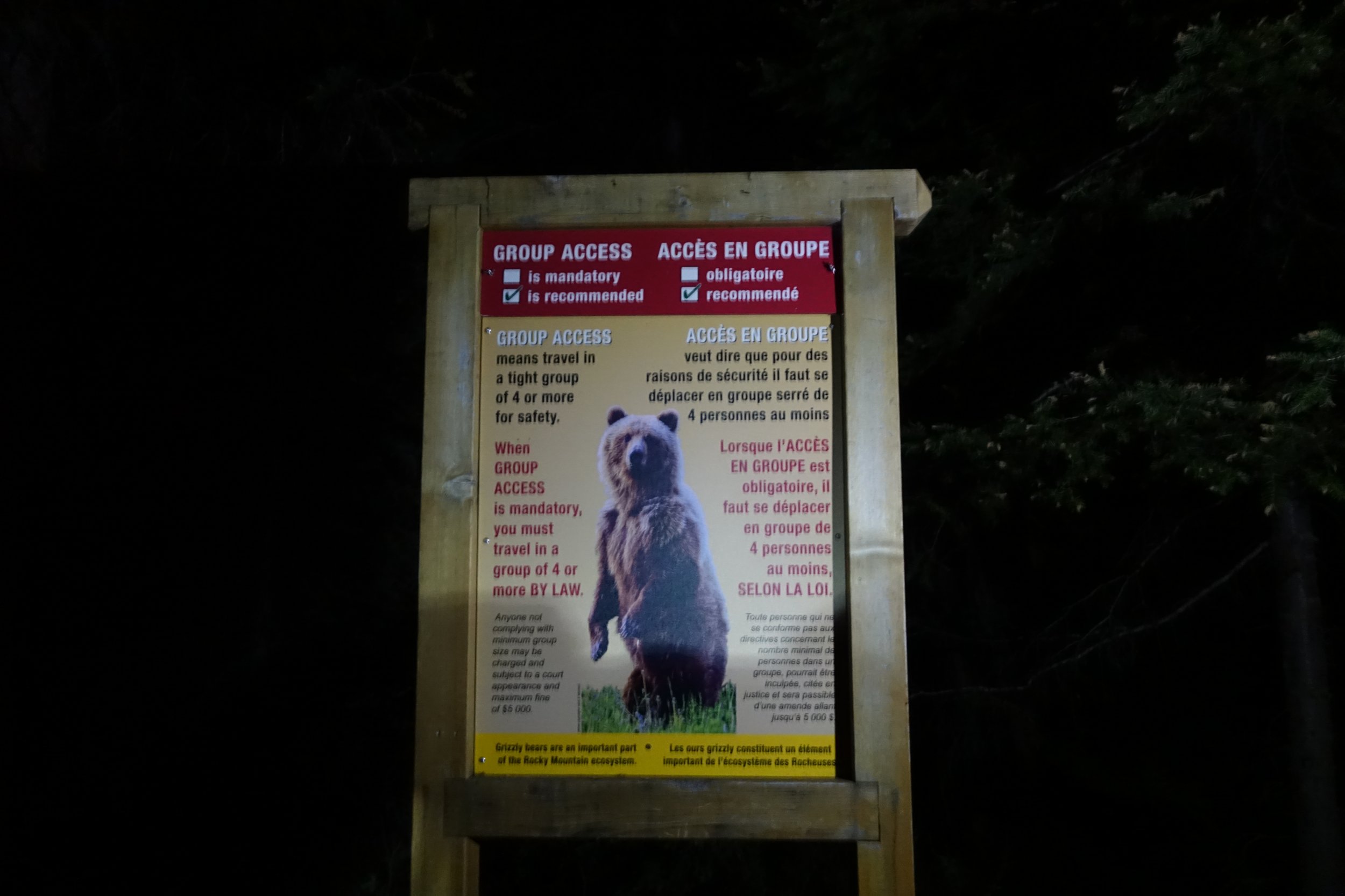
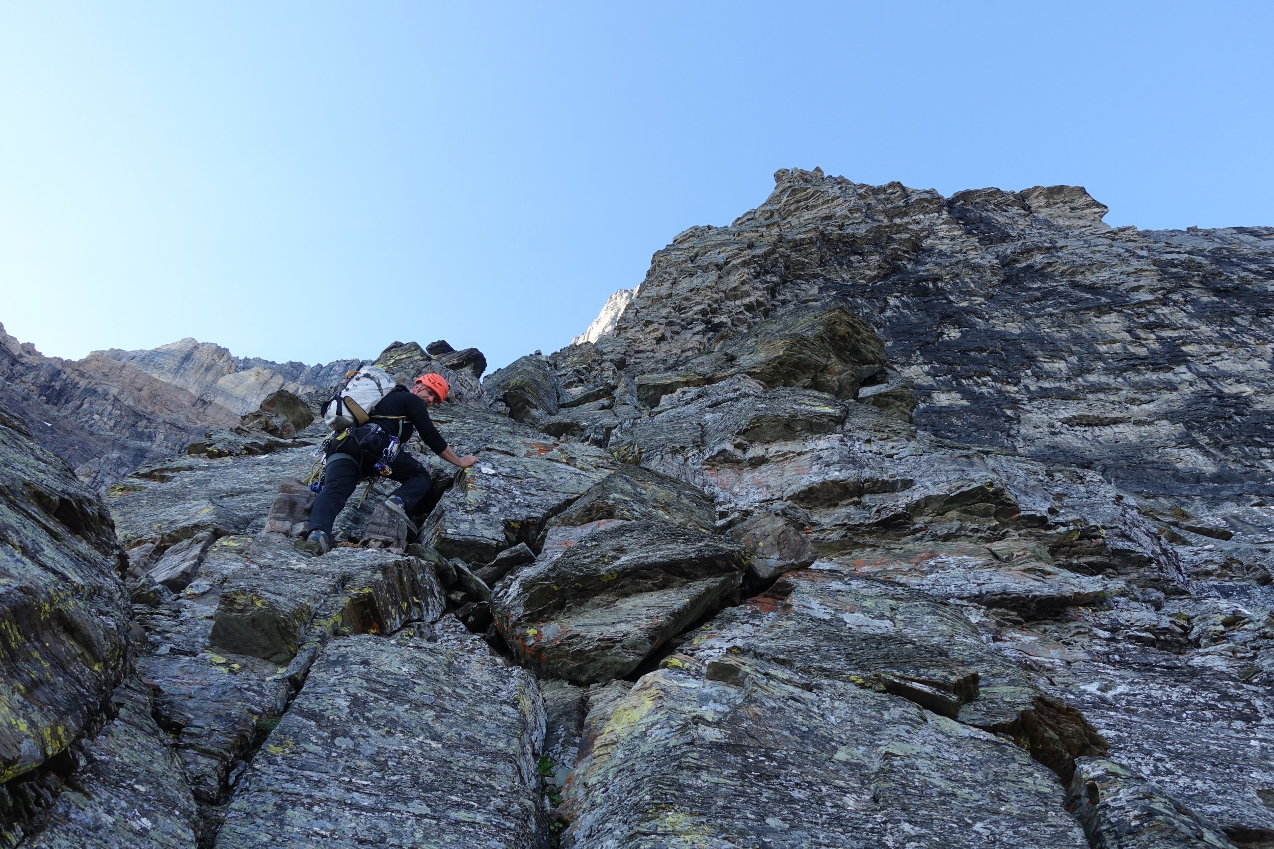
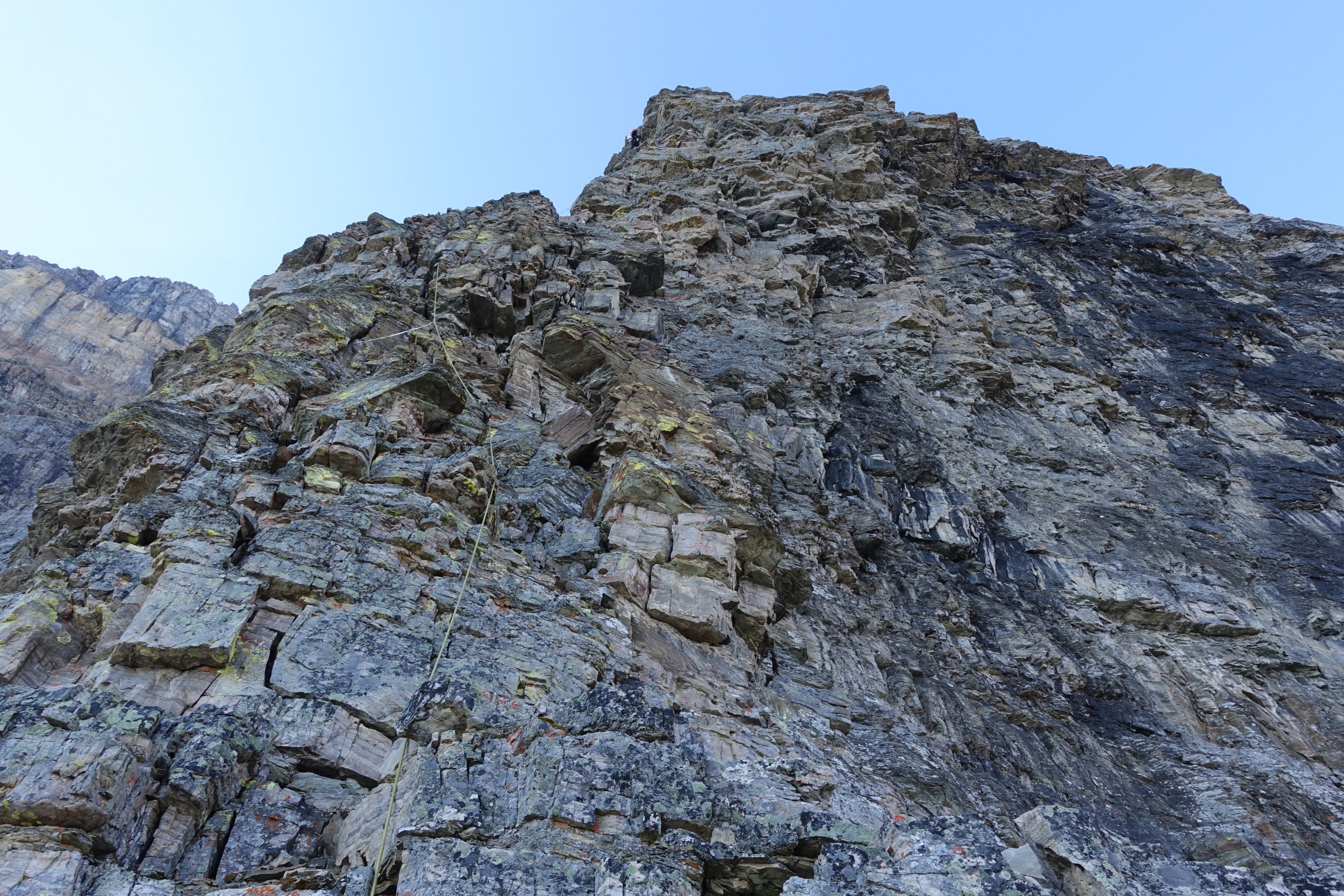
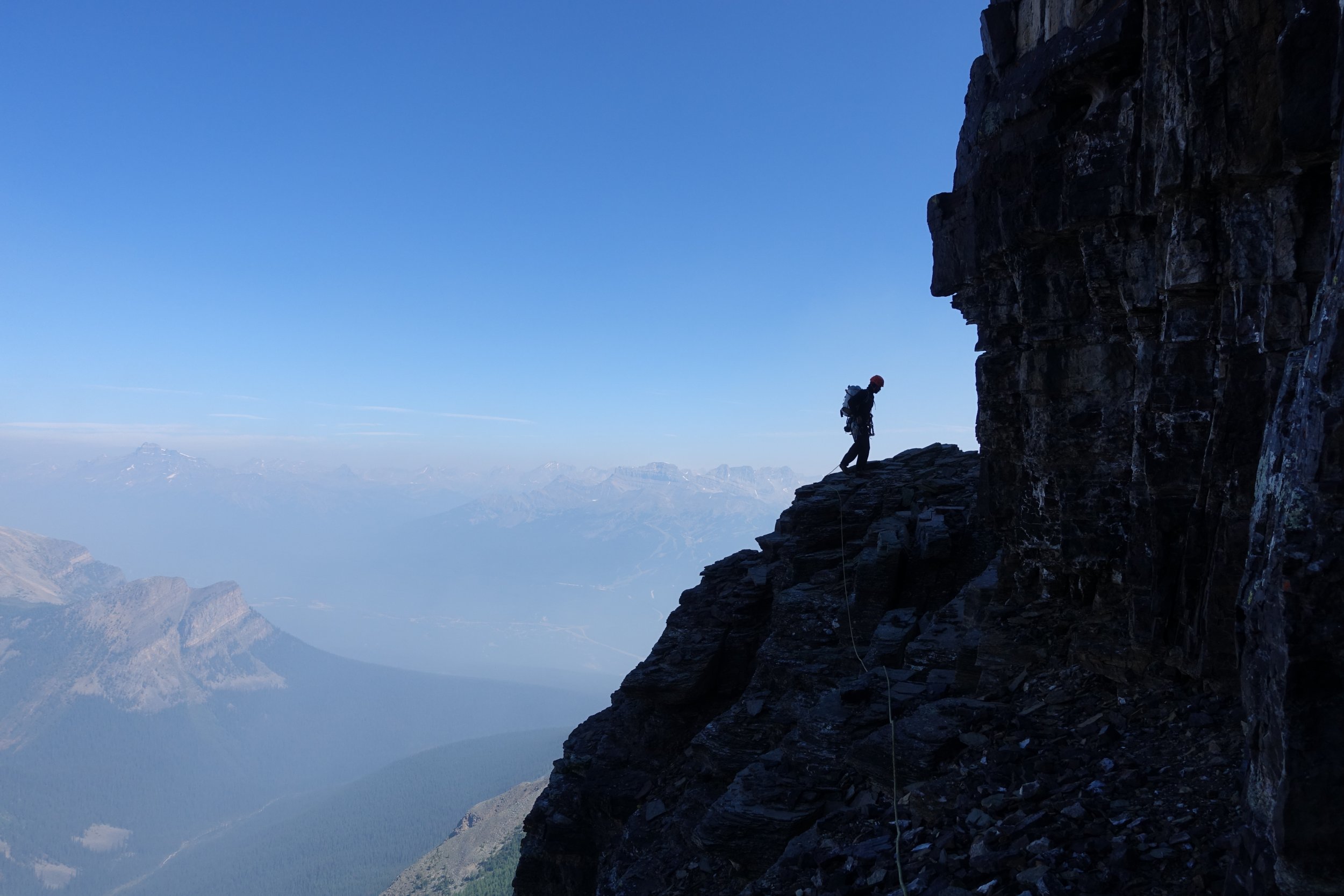
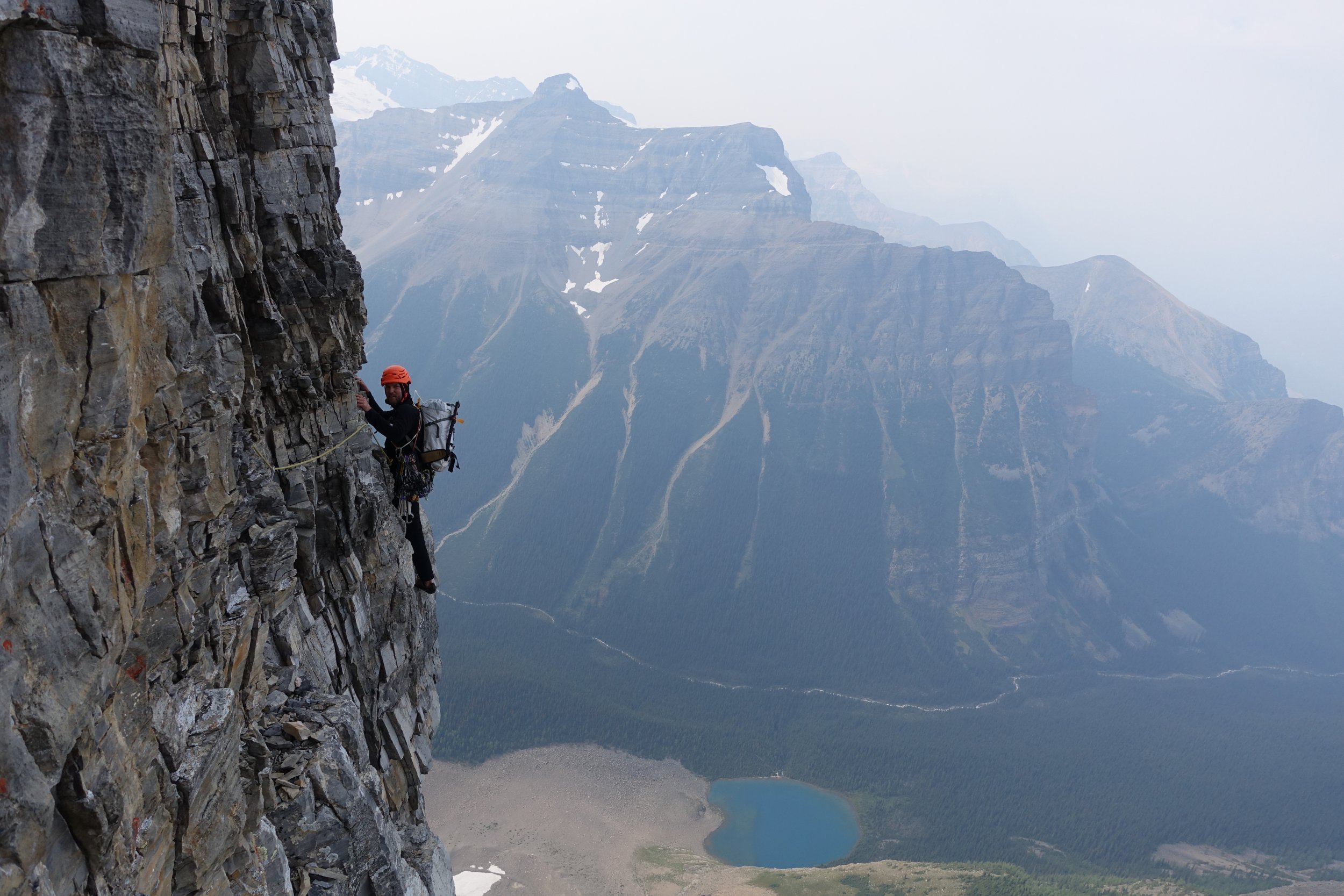
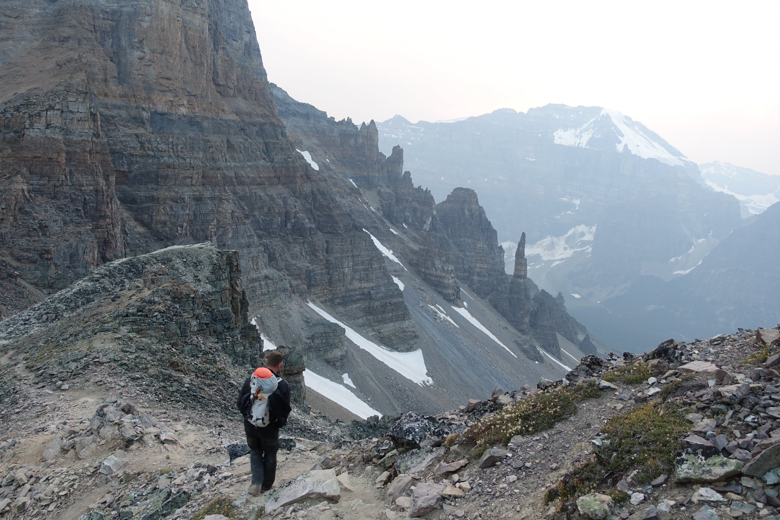
Trip: Mount Temple - Greenwood Jones Trip Date: 08/03/2017 Details: Given the reputation and lore select Canadian Rockies north faces hold I've always wanted to climb one but never had the opportunity minus a failed attempt on GCC on Kitchner way back in the late fall of 2008. High my list was/is any route on Mount Temple but avy conditions in the winter and grizzly conditions in the summer/fall had prevented me from ever trying. My understanding is most years the CAN parks require (communists ) a minimum party size of 4 for anyone entering the area below the north face or risk BIG fines (and possibly a grizzly encounter ). As finding another team of 2 keen on an alpine start that was also willing to climb a different route was pretty much impossible I never have had a chance to try. However in August of 2017 I heard they made the party size a recommendation and not a requirement. Lucky for me Daniel Harro was also keen so we pointed it north. Based on dawn & sunrise times and our plan to filter water at the lake we settled on a 3:30 departure. We started the face slightly later than I had hoped and wandered around trying to make sense of the beta before settling into the route. Everything you heard is true: choss to perfection and everything in between. Not the worst rock I have climbed but Oregon volcano climbers have a high threshold. Managed to climb it without placing pins but we definitely clipped a few along the way. All in all an awesome route and deserving of the status. I definitely want to come back for Greenwood Locke (in colder temps) and the Cardiac Arete on the Grand Sentinel looks awesome. We found this TR in conjunction the most useful for route finding but even then we scratched our heads more than once and I had to reverse/downclimb a few false starts. Pins can show the way as well as get you way off route If you try to do it in a day (which I recommend as it makes the packs more manageable) you need to save as much daylight as possible for the descent; I would expect attempting to follow the cairns down in the dark even with a headlamp challenging at best especially if you go back to your car via Paradise Valley. A google search will turn up more than a few TRs that detail a night spent out high on the mountain. Gear Notes: Standard rack. Took pins but didnt use them. Crampon and mini ice axe. Approach Notes: Opted for the car to car option1 point
-
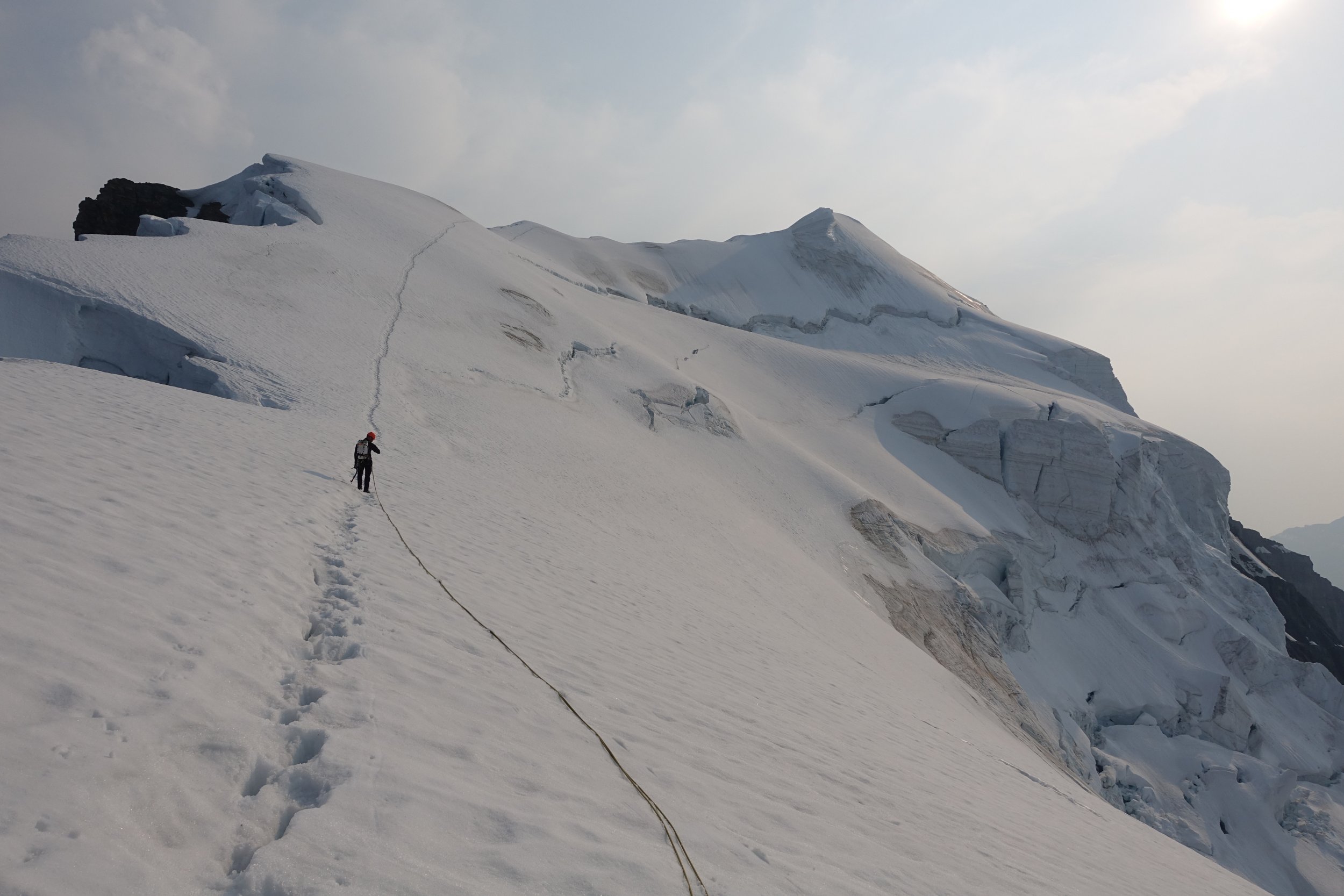
Trip: Mt. Rainier - Liberty Ridge Trip Date: 05/14/2018 Trip Report: Hello! The climbing rangers on Rainier wanted to know about conditions on LR, and since we did the route the long way we did a lot of movement on the mountain and the Carbon River Trail/Wonderland on the way. I had to work last night after pushing the last 14 miles out in the morning, and have to work again today so I am trying to crush this and I’ll addend it later to get all the pictures as I get them. Here we go! Valerie and I met on Monday early and discussed more in depth our gear selection, ended up being 4 pickets and 5 screws. Fortunately the 1000 ft of hero ice and my trips to the Canadian Rockies worked well as two screw belays and one screw for pro saved time, and the extra picket helped set up the tent quickly! Be aware that if you start from the Carbon River, you cannot purchase your Rainier Climbing Pass there, it must be done somewhere else or online first! I swear I’ll send in my money on Monday, thank you to the Park Service for accommodating us. We left the Carbon River TH at 11am, and made it to 6800 ft at Curtis Ridge camp. We camped on dirt and used rocks as anchors to set up the Betamid, which it the first time I have used one and it was AWESOME. This seemed to be fine for accessing the Carbon Glacier. There is a crossing on the trail to which we had to on the way up take our shoes off and wade a little as several of the log walks are washed out. It is kind of an adventurous approach as you can imagine this time of year, but as someone mentioned to us on the way out “They probably didn’t find the trail too difficult if they climbed LR” Haha! On the way back, we chose to leave our boots on at a crossing because the water was even higher. If this happens, I’d suggest one person using shoes to wade across and attach a rope and ferry dry packs across, there’s a hand line across the way. Day 2 we found the Carbon to only have a couple of bridges to navigate, and Valerie deftly led us safely across to the right side of the Ridge. At this point Valerie had reservations about leading the route, and I assured her I would lead all of it if I needed to. This is in no way a detriment to her contribution to completing the climb, I needed her to help in all the glacier travel and navigation, positivity, and her extra pizza. The woman brought in 2.5 fully cooked pizzas. She knows her stuff. It took us 3 or so hours to move across the Carbon to the right side base, probably because of the long approach and our increasing lack of sleep and long days. At 1030 or so I started up the third snow band and over a very easy covered shrund, and the snow to Thumb Rock was pretty shitty ranging from ok to plunge step to wallowing in crotch deep sugar. Our anticipation was that it was supposed to get colder the next evening and we would have good conditions to the summit. It took us a whopping 9-10 hours to get to thumb rock, as we had to pitch out some sections because of the warm snow and I started taking the rock bands to save energy. Occasionally I could protect the rock bits with a deadman picket, but all other anchors were quite marginal and I ended up using seated hip belays or terrain belays off of boulders. I assume if the snow is good this time could be halved and soloed. Start very early or when the snow freezes. We sat in the sun and tried to dry out as best we could at thumb rock and hydrate. We dug a platform with a shovel, it would likely fit a 2-3 person tent well and just out of way of the rock falling off Thumb Rock. There’s enough dry rock to sit on and relax up there. Day 3 The Business. We awoke to still and excellent conditions. I started up at 330am to the left as it looked more direct, the WI3 straight up is completely non-existent. We simuled in 800-900ft blocks with a picket every 190-230 ft, I have never mid-daggered so much in my life. Occasionally whenever we needed to simul solo to get to a good picket or resting spot, I would end up in a sugary 10 ft band of garbage. Vertical pickets were pretty good today. Somewhere after the second block to pass over to the left, we came over a lip of snow and built a belay with an axe while standing on dirt and rock. From this belay I did a traverse of rock for 30 ft or so with a marginal picket to get to the left. I believe we did a rising traverse lower than usual to the left to access a wide long gully with some rockfall when the sun came out. Miraculously, as I had to chose my path the clouds covered it just until we were both out of harm’s way and then the sun came out and the rocks started falling again. My suggestion is if you go this way that you go up and right a bit around a few small rock outcroppings then cut immediately left to avoid rockfall if the sun is out. Either way move fast. We pushed this simul up to the ice face, and I belayed off of two screws in the bottom of the ice. At this point Valerie had some issue with her toe, and she may have stubbed it hard somewhere, and was feeling a bit rough. Valerie is pretty dang tough, so it might have even been broken. We had not stopped and ate or hydrated much, as we kept having some serious routefinding and objective hazards and that distracted us. The ice looks shorter than it is! I led 3 200 ft pitches, at the first belay I hammered her adze in to the hilt and connected it to the anchor and left her with a one screw anchor. I didn’t know what the next pitch of ice would feel like, she trusted me but expressed some concern with this. My standard mountaineering crampons were great and single swing half or to the hilt swings had me moving very efficiently up the pitches, placing a screw half way and two for the anchor. After 3.5 full pitches of ice, I belayed Valerie up to a flattish area and she was doing poorly. Albeit she rallied each time with courage since we were in a very committing position. The hanging belays sucked and her toe was hurting. At this point this got a bit colder, and the clouds would come in and out and obscure our view. We discussed bivying early around 13100, but she expressed from her experience is better to camp near Liberty Cap and I thought having the difficulties behind us would be better. I led up through the clouds as we spied at a moments clearing the correct way, traversing far right for a bit and up a very easy filled in bergshrund, travered up 45 degree snow ocassionally protecting with pickets while simulclimbing. I was out of pickets but started finding ice to place screws in every 150-200 feet up the last headwall to Liberty Cap. This was technically the crux, but it was hilariously fun for me and should not concern anyone really in it current state. Two hero ice tool placements above shrund, cut feet heel hook left foot and swing tools higher up 150 ft of mixed snow and ice to ice screw belay. Just before this belay Valerie got the screaming barfies on the overhang, and as she arrived to the anchor most of me was covered in rime and snow. 300 feet up more ice/snow to low angle terrain and Liberty Cap. At this point if we had stopped for longer than 20 minutes we may have been hypothermic with 30-40 mph winds. We were moving too slowly at this point to reach anywhere else, we quickly set up the Megamid pickets and tools, and I set to work digging in the sides. We slowly recovered and feet and hands warmed up, and the mood became a bit less serious and the awesomeness set in we were doing fine at 14k and howling winds, and we had made it up a very proud objective. As it turns out the Zip Jet boil is a bit finicky about being warm, but we passed out until midnight until we got the thing working or even cared about it. Imporant points before I leave you hanging... Descent of Emmons, boot path done to Shurman. When crossing Winthrop if doing LR, be careful of following our tracks, we were in a complete fog and were trying to go down not over. Might be looking to do the Kautz May 28-30 if someone is down, or whatever route is fun. TBC... Need to go climb some granite. Be Back out Wednesday night. Gear Notes: 5x screws, 4x 24" pickets, slings. 3 pickets and 6 screws might be better since theres more ice than i anticipated. Approach Notes: Carbon River is fine if you're in shape and want better conditions on route VS shorter approach if that is the current time of the season. Coming back down from Dick Creek. Valerie showed me how to wade, I was a little unsure of how to do it. Valerie's skillful untracked descent of the Emmons Above the 800 ft. ice face, still a pitch of ice above this. First full pitch of ice. Day 2 headed up to Thumb rock, conditions not the best. Entrance to the ridge from the Carbon Glacier1 point
-
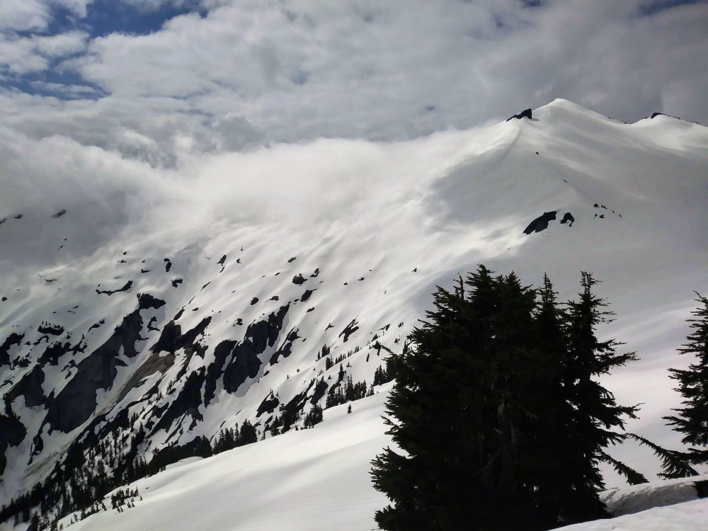
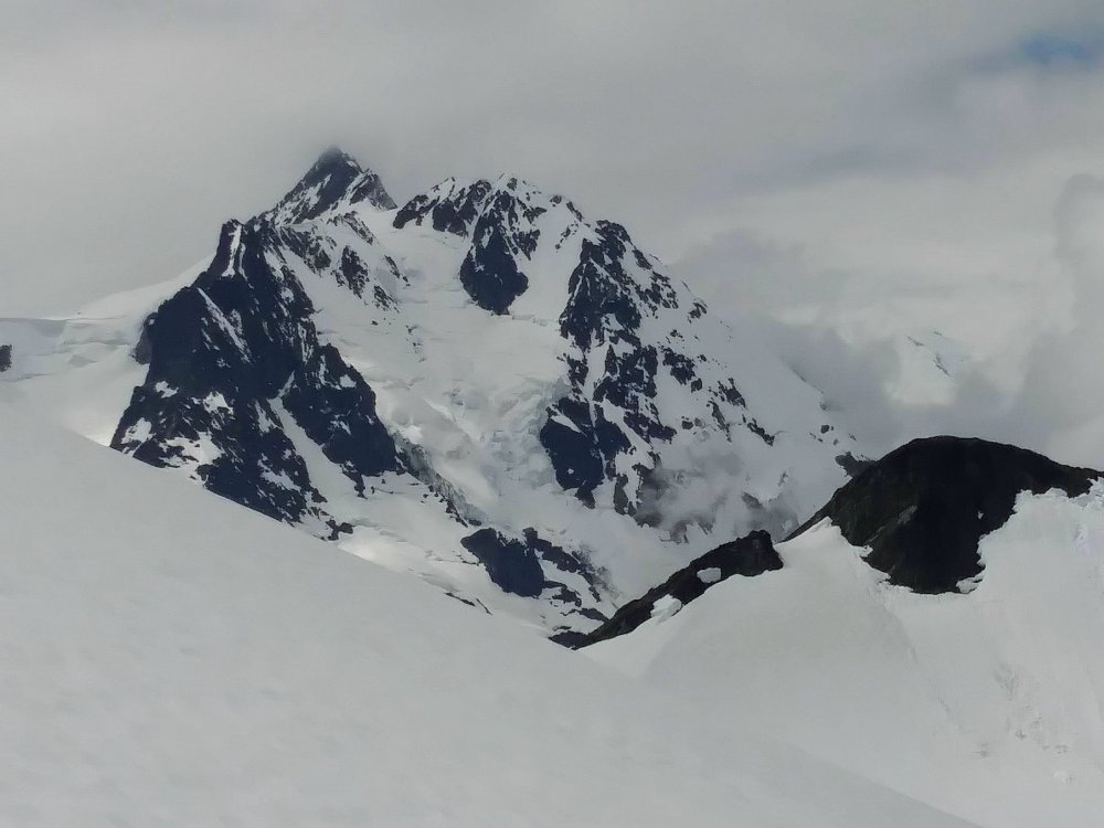
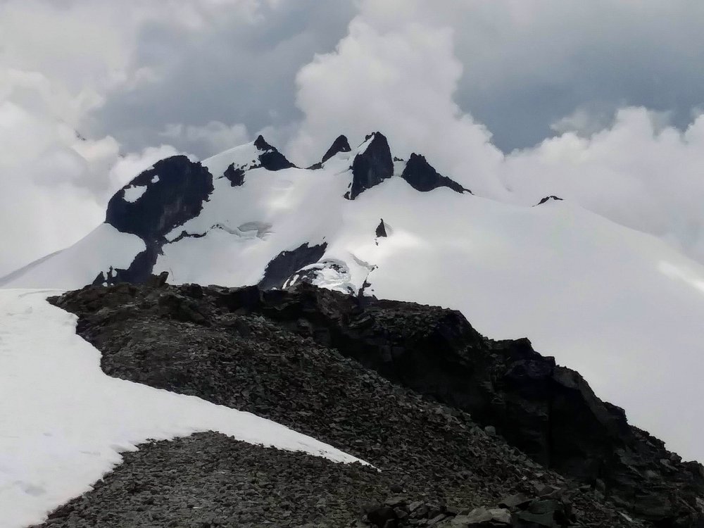
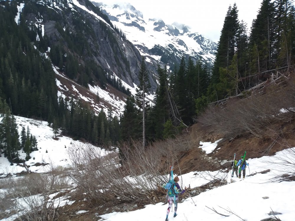
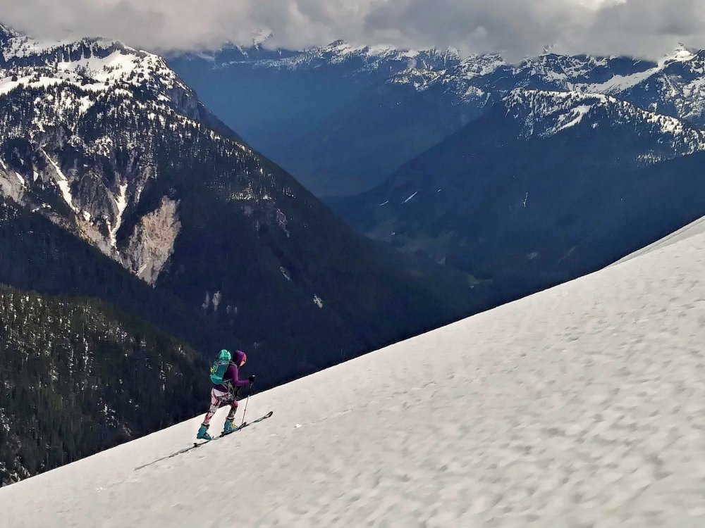
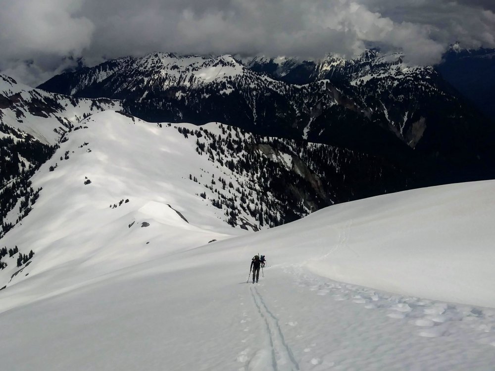
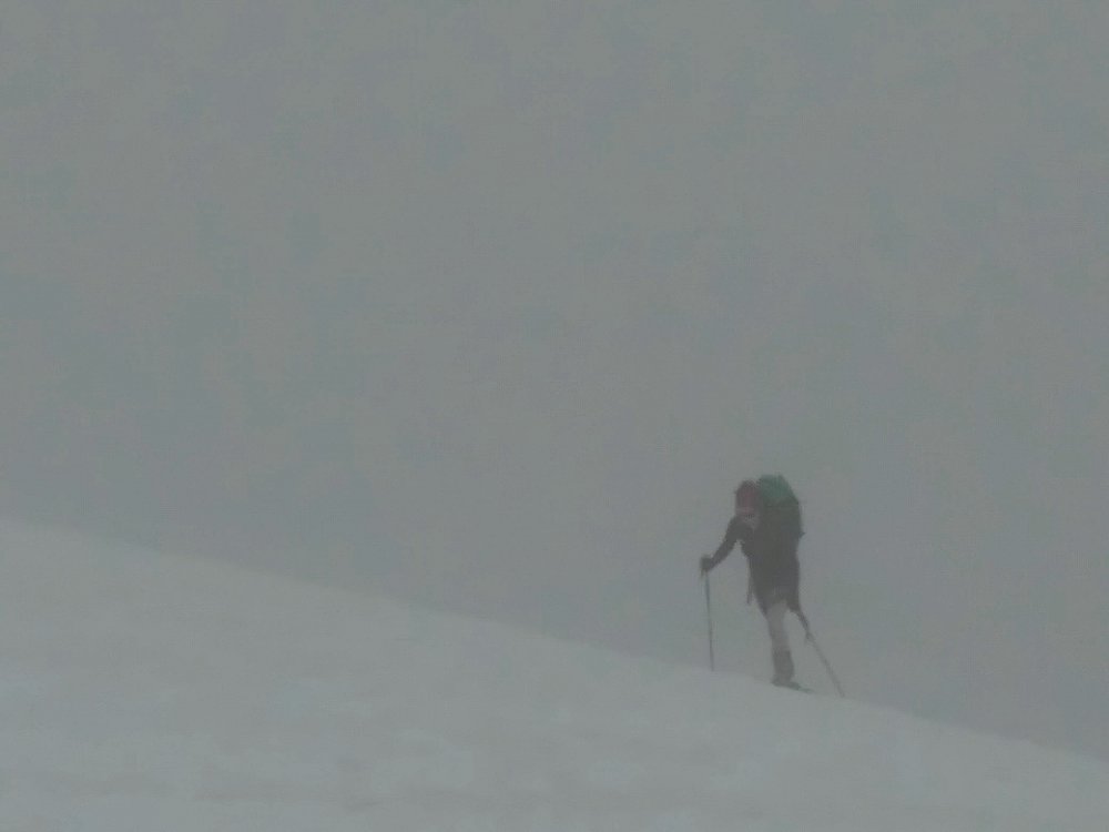
Trip: Ruth Mt - Ruth Glacier Trip Date: 05/20/2018 Trip Report: A beautiful day on Ruth with grouse seemingly everywhere and waterfalls abound! We had pretty low expectations because of the forecast, but thought if we decided to bail, a few hours in Bellingham would also be fun. Luckily, it only drizzled on us for a short while, the clouds kept the sunshine at bay, and we got some great skiing in!! Where were all the people? Only saw one guy coming out after summitting early, a guided group doing glacier rescue practice, and a pair of skiers who had bailed, passing us on their way out . Road drive-able and fairly dry (except for one creek running over/through it...) within .2 miles of Hannegan Campground. There's a giant washout that took out the road plus some right before the campground, impressive. Almost no snow there, so we opted for the summer trail...pretty easy going/few blowdowns, it just doesn't gain elevation very quickly. Carried for awhile (4+ miles?) until we got to continuous snow. Anyway, we opted for the point 5930 circumnav route and that was OK..Clouds swirled in and out and at one point we were almost completely "in a ping pong ball" but happily it passed through. A lot of my photos look monochrome/black and white due to the light. Unfortunately I forgot my real camera so hopefully these aren't too pixelated. Shuksan was gorgeous and all the views were sporadic and interesting with the light coming through clouds. I haven't been in that area much, lots to learn and do! Sweet bivy spot and Icy The snow was GREAT for awhile, far exceeding our expectations...then it got grabby and mushy. So it goes! The slog out was beautiful and the rock in the valley was awesome, but my feet were sick of walking in my ski boots. Great day with great friends in a beautiful place!! ? Gear Notes: Approach shoes would have been wise Approach Notes: Moat-y around the SW side of point 59301 point
-
Liberty Ridge is open for business! It's hard enough coming from White River, I have a difficult time imagining the effort from Carbon River! Strong work @Kposaune and Valerie!!!1 point
-
When you say "quantitative estimates" you mean "make up some numbers and pretend that you've switched from qualitative to quantitative analysis" right? Not actual measurements that would really be quantitative analysis?1 point


