All Activity
- Yesterday
-
 olyhotmailclimber joined the community
 -
Now that I'm standing on the stilts of AI, I'm making quick progress in remediating some very complex issues that have plagued the site. One has been a problem with new registrations not recieving their registration email so they could sign in. I believe I have it fixed. Try it if you've been frustrated before. The amount of things I fixed just today on this site is amazing. I can't actually believe it myself, but this is where we are at. And its going to get even better. I have plans. I'm looking for accomplices.
-
- 1
-

-
If you want to use the search function you'll need to create an ID and login. I had to turn that off because bots were messing with forum and kept getting performance usage alerts. So just create an account and be logged in if you want to use that function. Thanks!
- Last week
-

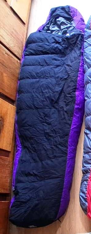
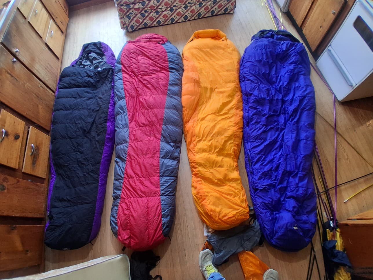
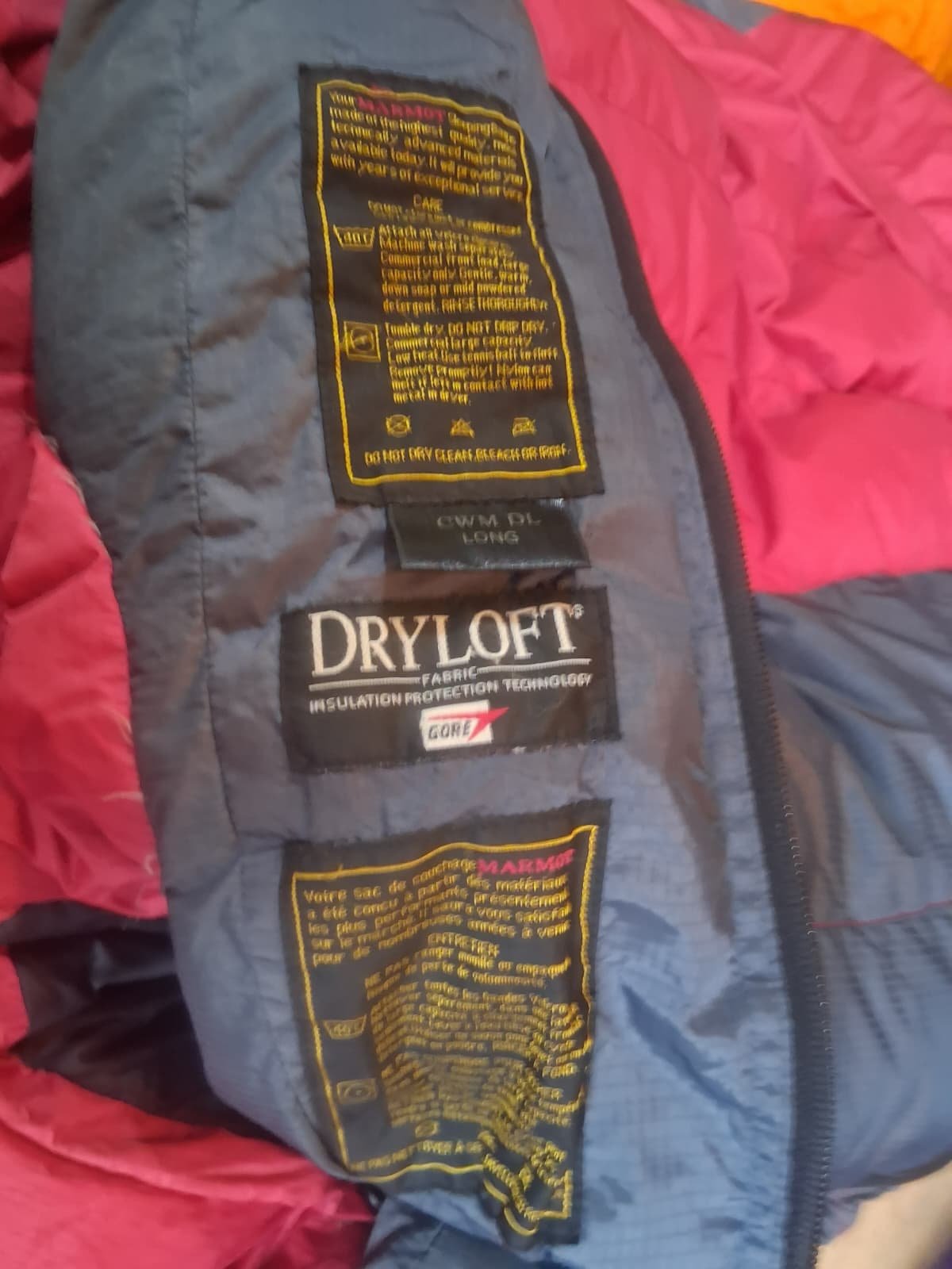
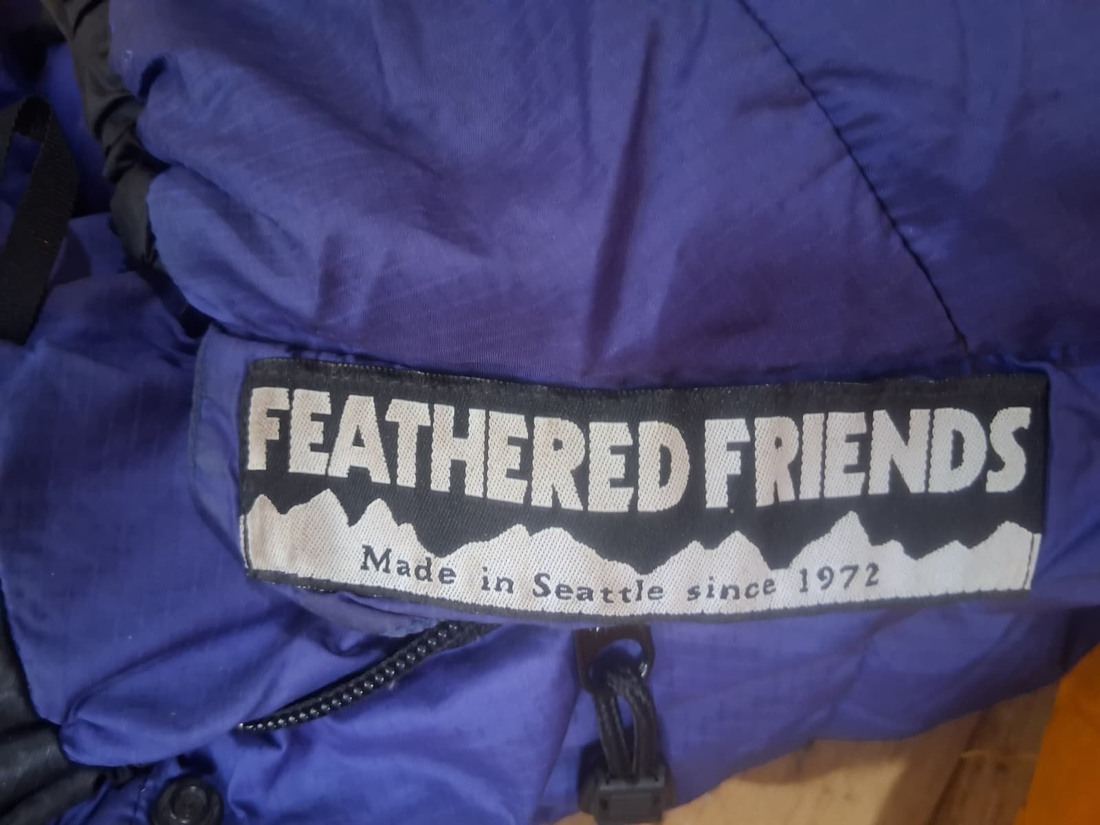
Feathered Friends -40 Sleeping Bag, VG Condition, Size Long: $350
Lee Ward replied to Lee Ward's topic in The Yard Sale
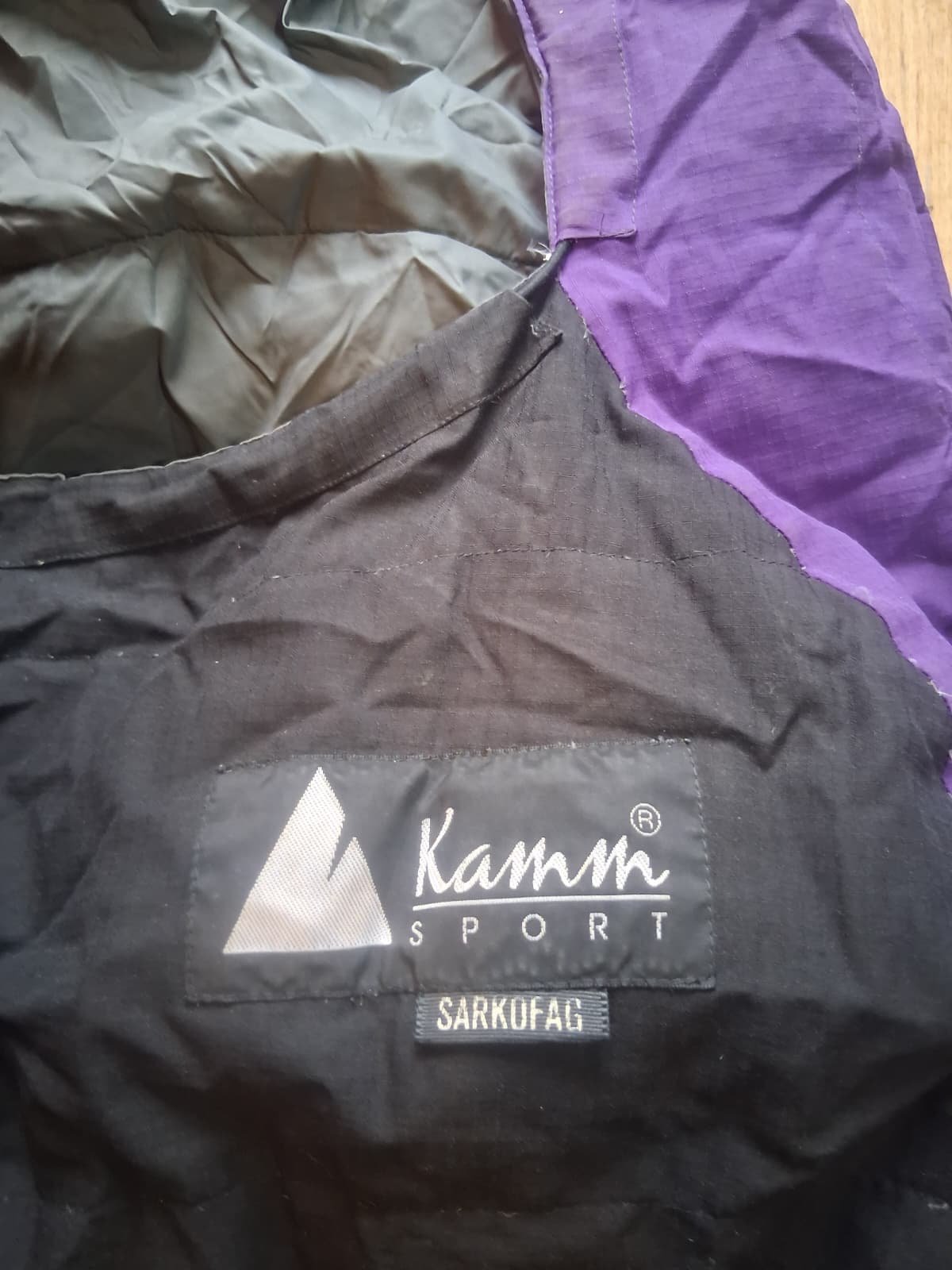
Thanks for writing. Yes, all 4 mountaineering sleeping bags are listed here: 1) Feathered Friends, 2) Marmot CWM -40, 3) Marmot Women's Ouray, 4) Kammsport Down Bag. Thank you very much for allowing me to list them. Hope they sell. Yours Sincerely, Lee 360-292-0736, office01.sc@gmail.com -

Feathered Friends -40 Sleeping Bag, VG Condition, Size Long: $350
olyclimber replied to Lee Ward's topic in The Yard Sale
do you have the other three bags all listed here too? -
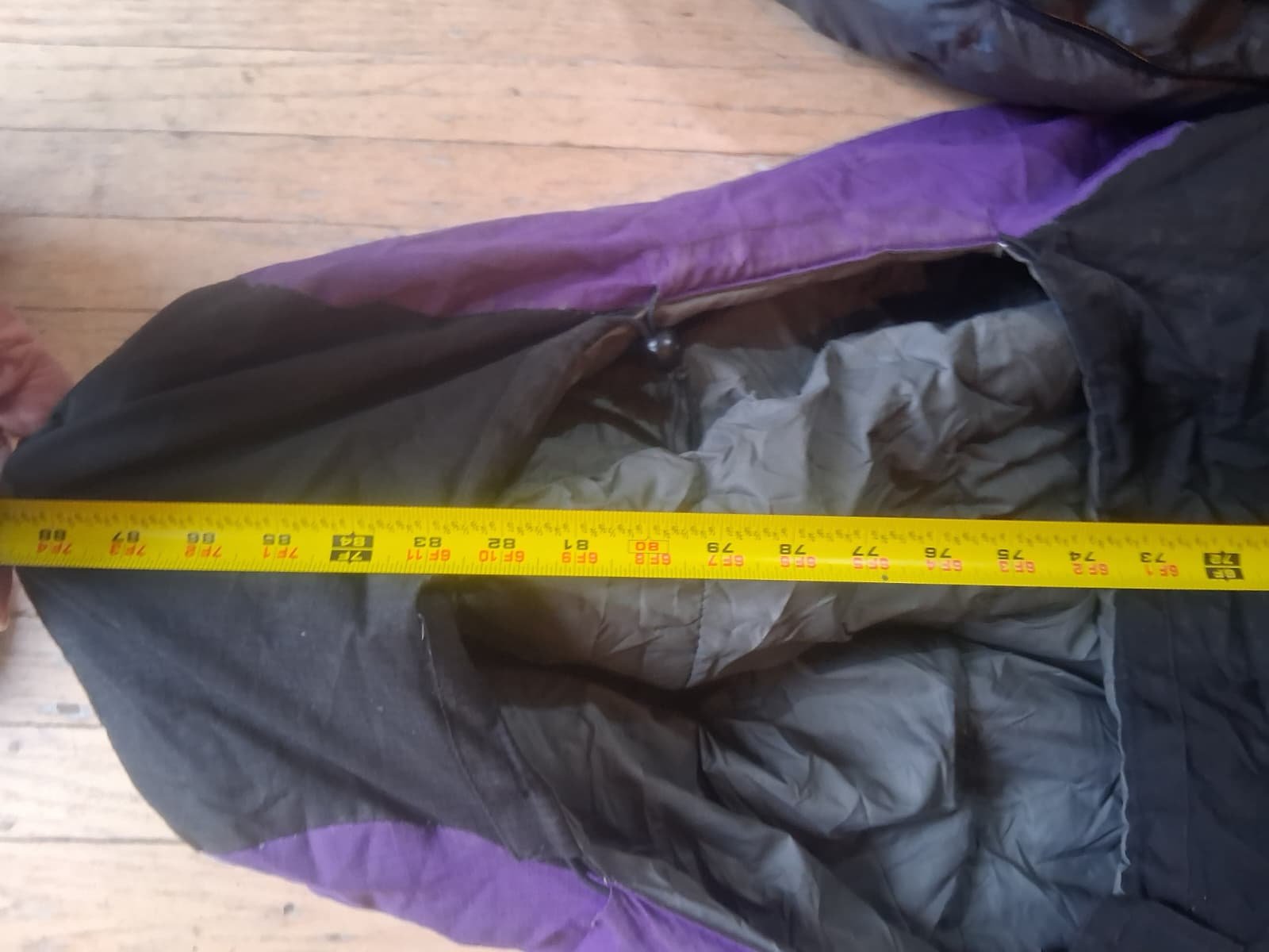
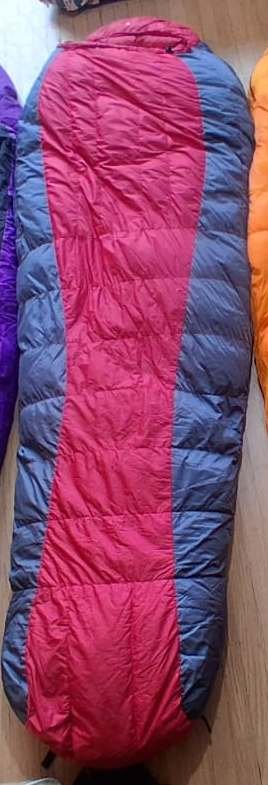
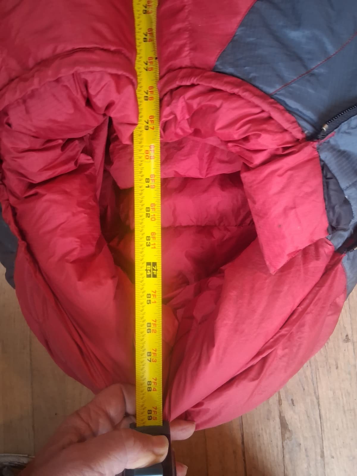
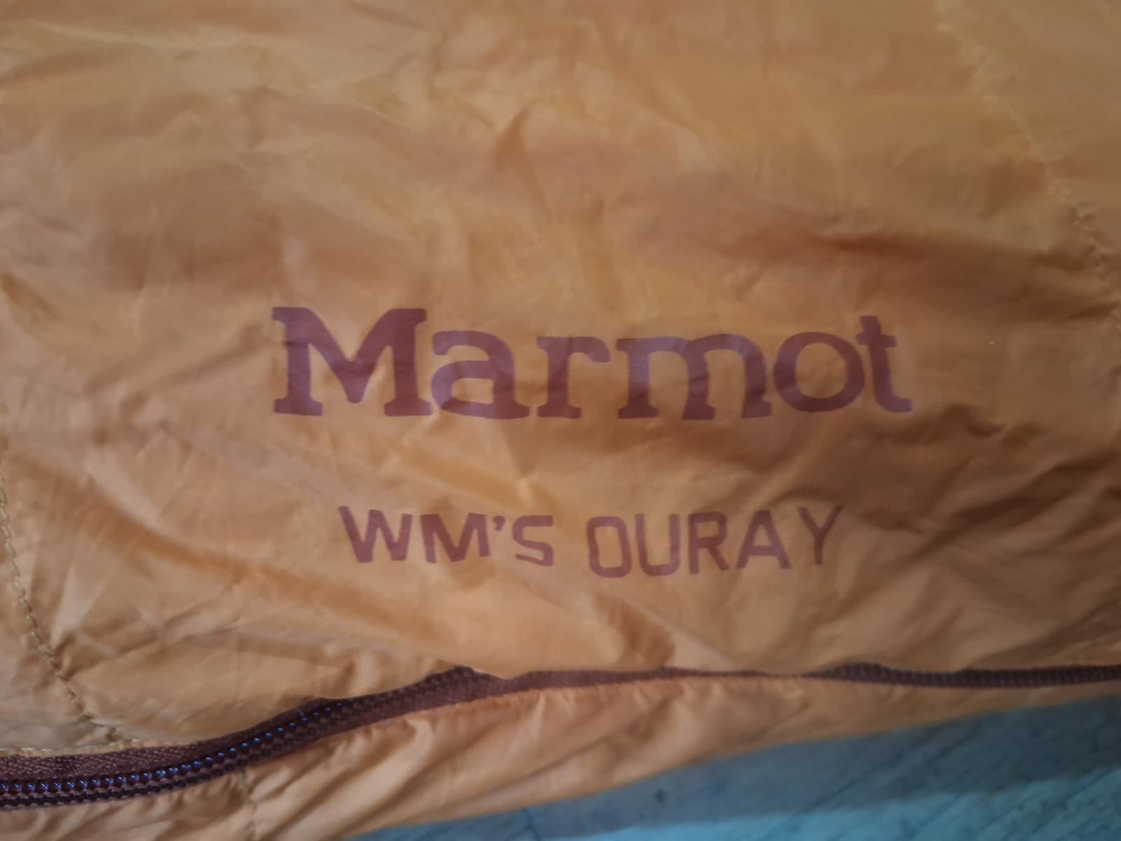
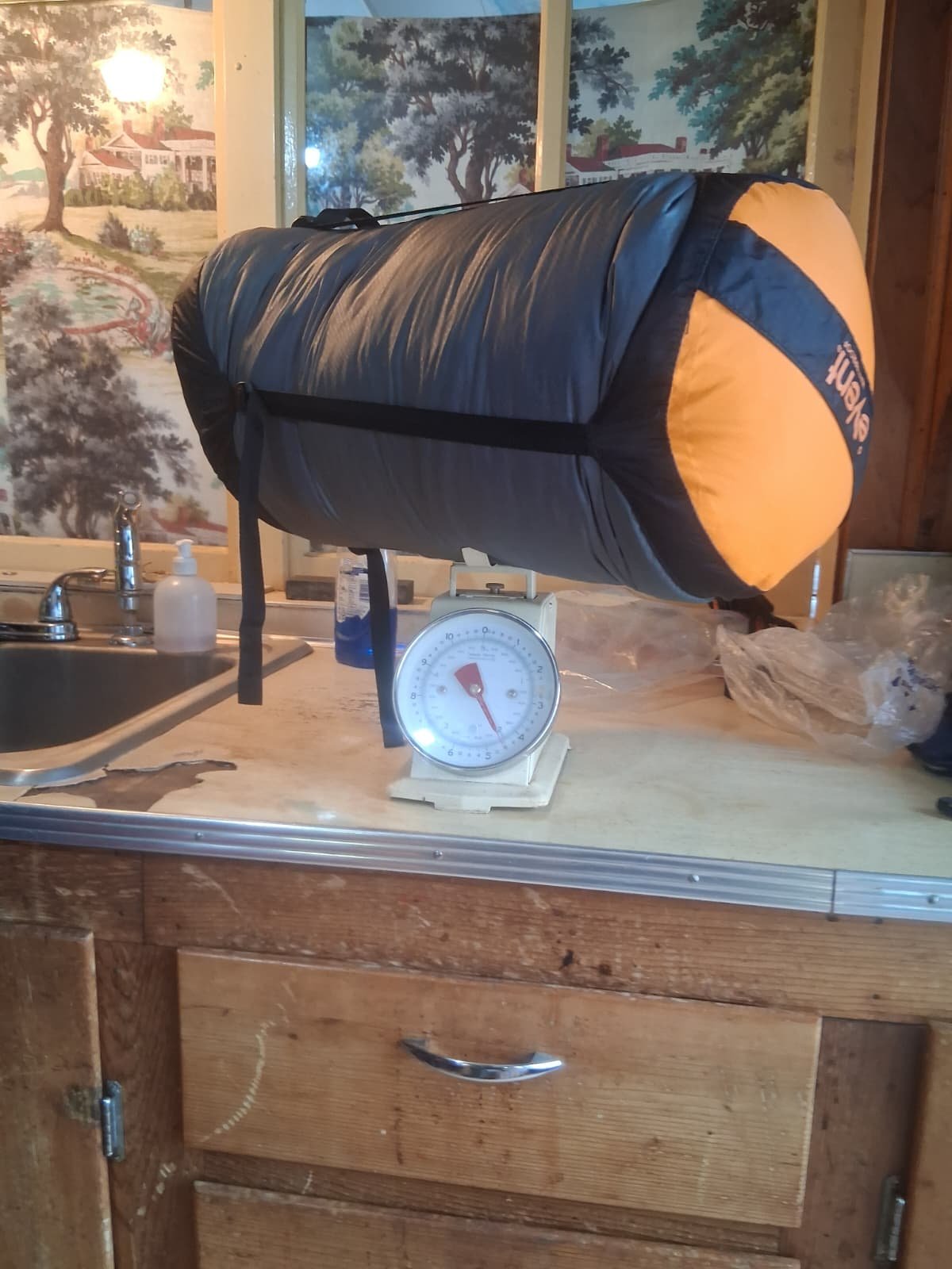
Women's Marmot Ouray Sleeping Bag. Excellent Condition: $150
Lee Ward replied to Lee Ward's topic in The Yard Sale
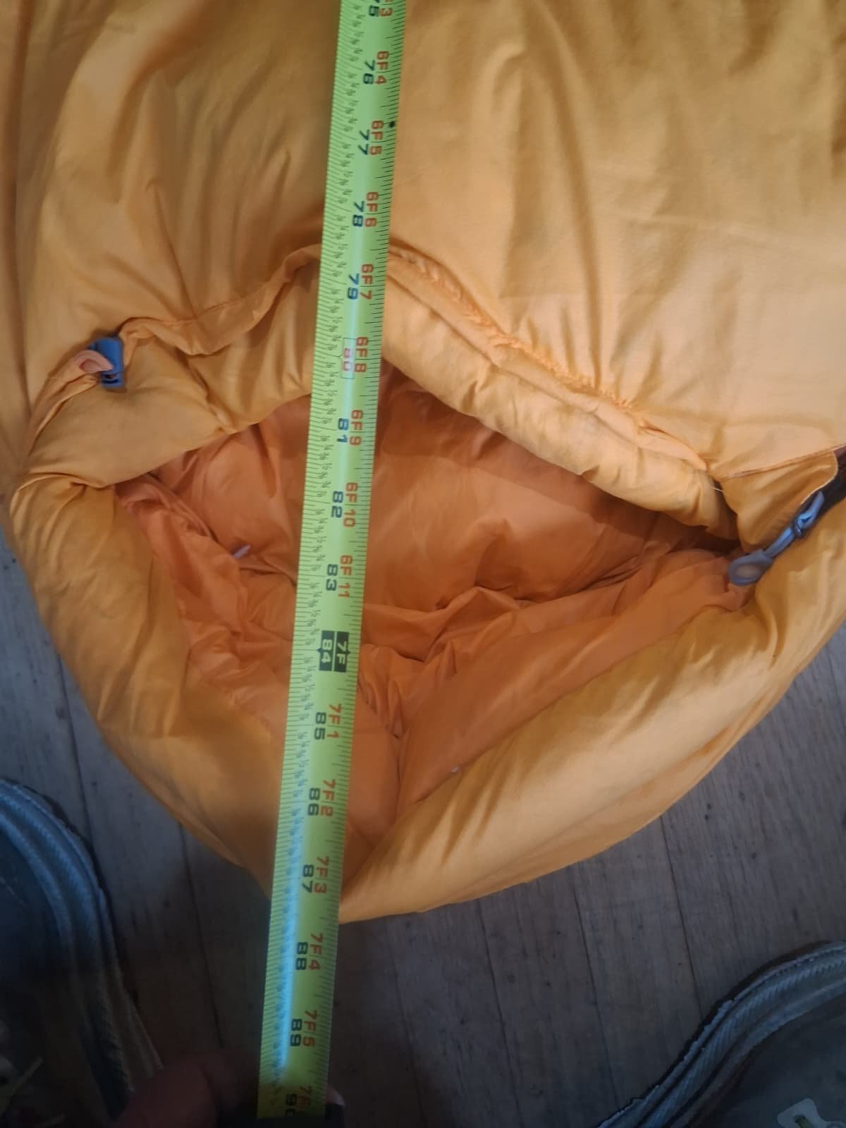
Here are some more photos of the Marmot Ouray Sleeping Bag. It weighs 4.25 pounds in the stuffsack. the length is 78 inches from toe to collar. it looks like its not a long. what do you think? thanks for letting me know. Thank you very much. High Altitude Mountaineering Regards. -Lee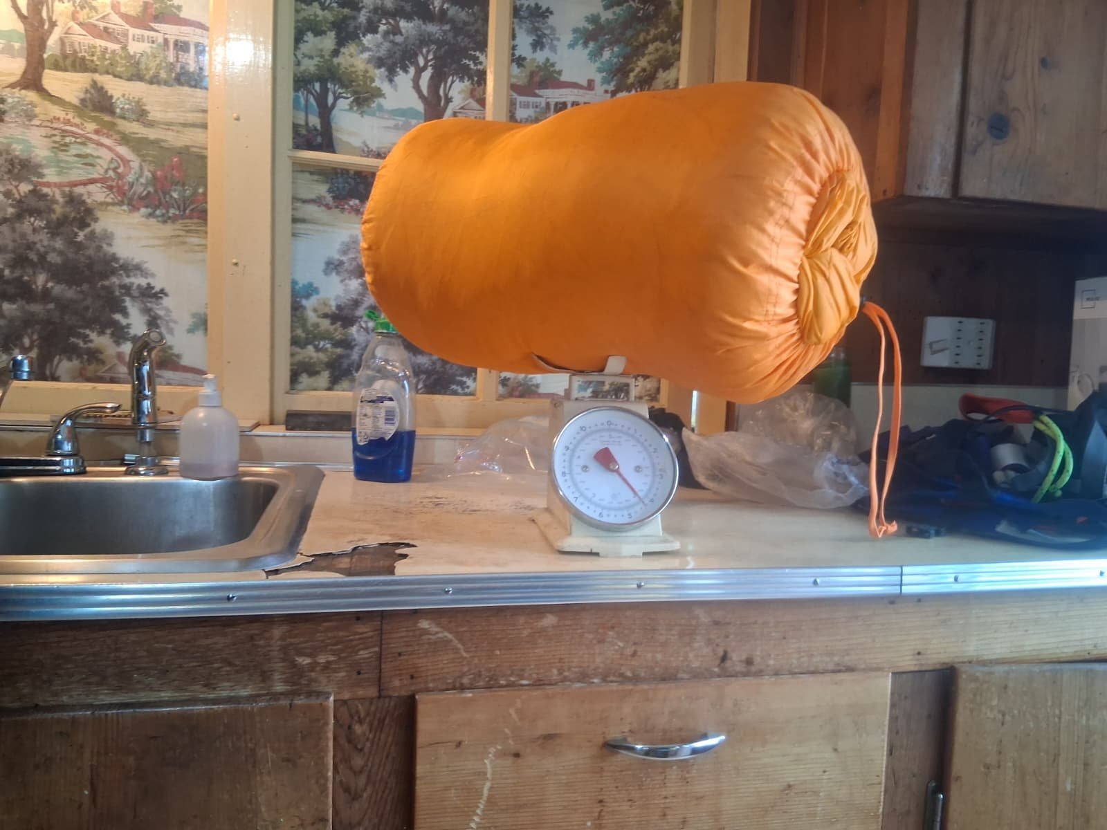

-
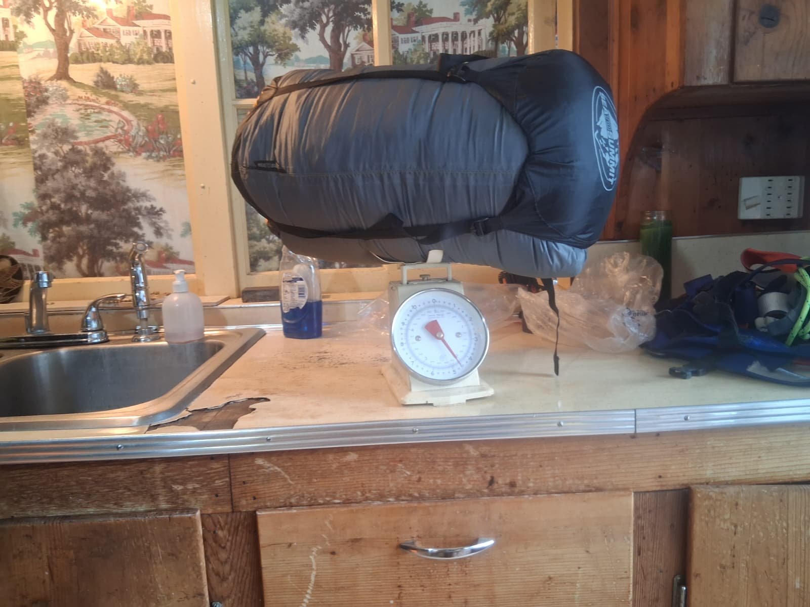
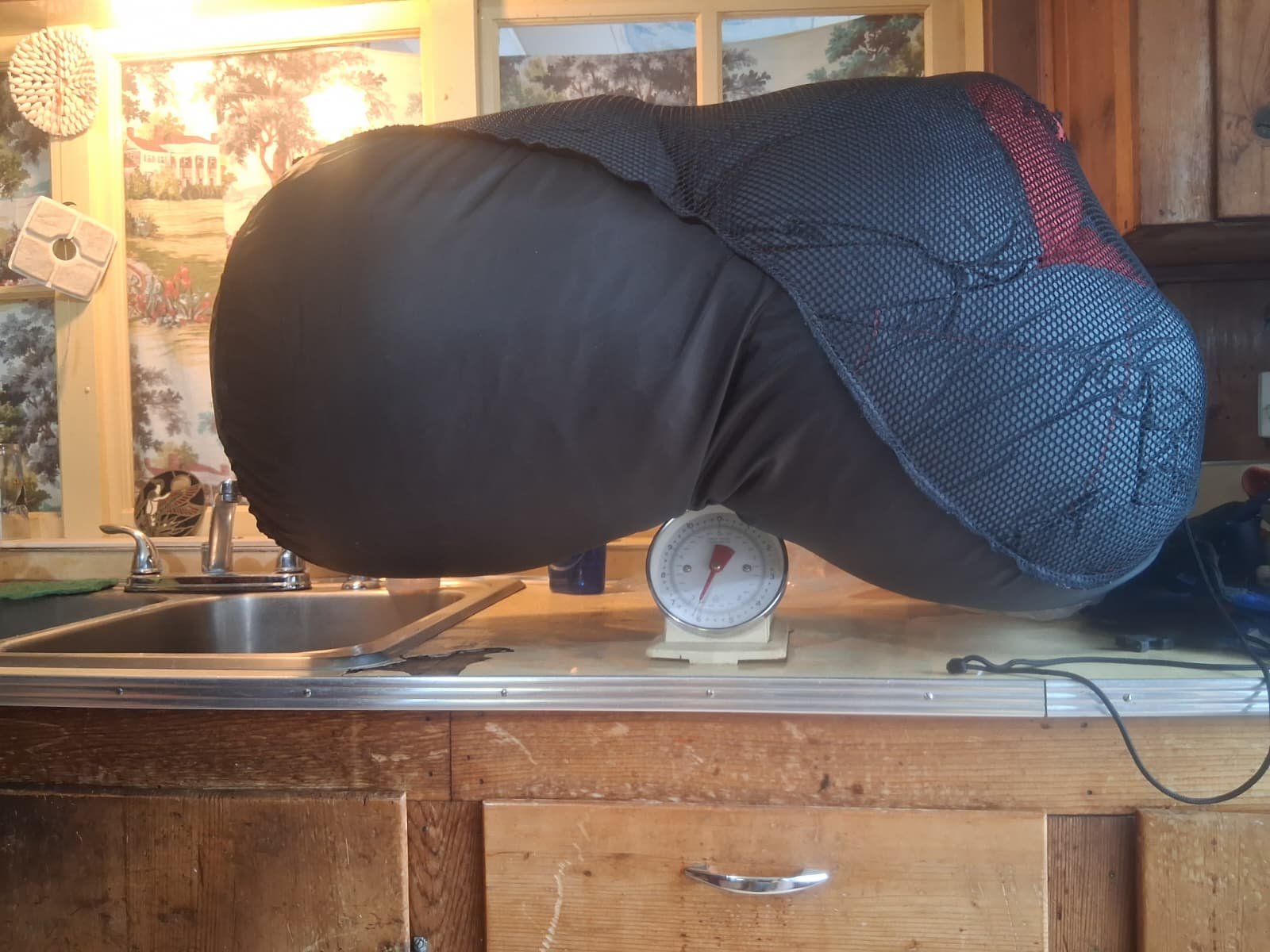
Feathered Friends -40 Sleeping Bag, VG Condition, Size Long: $350
Lee Ward replied to Lee Ward's topic in The Yard Sale
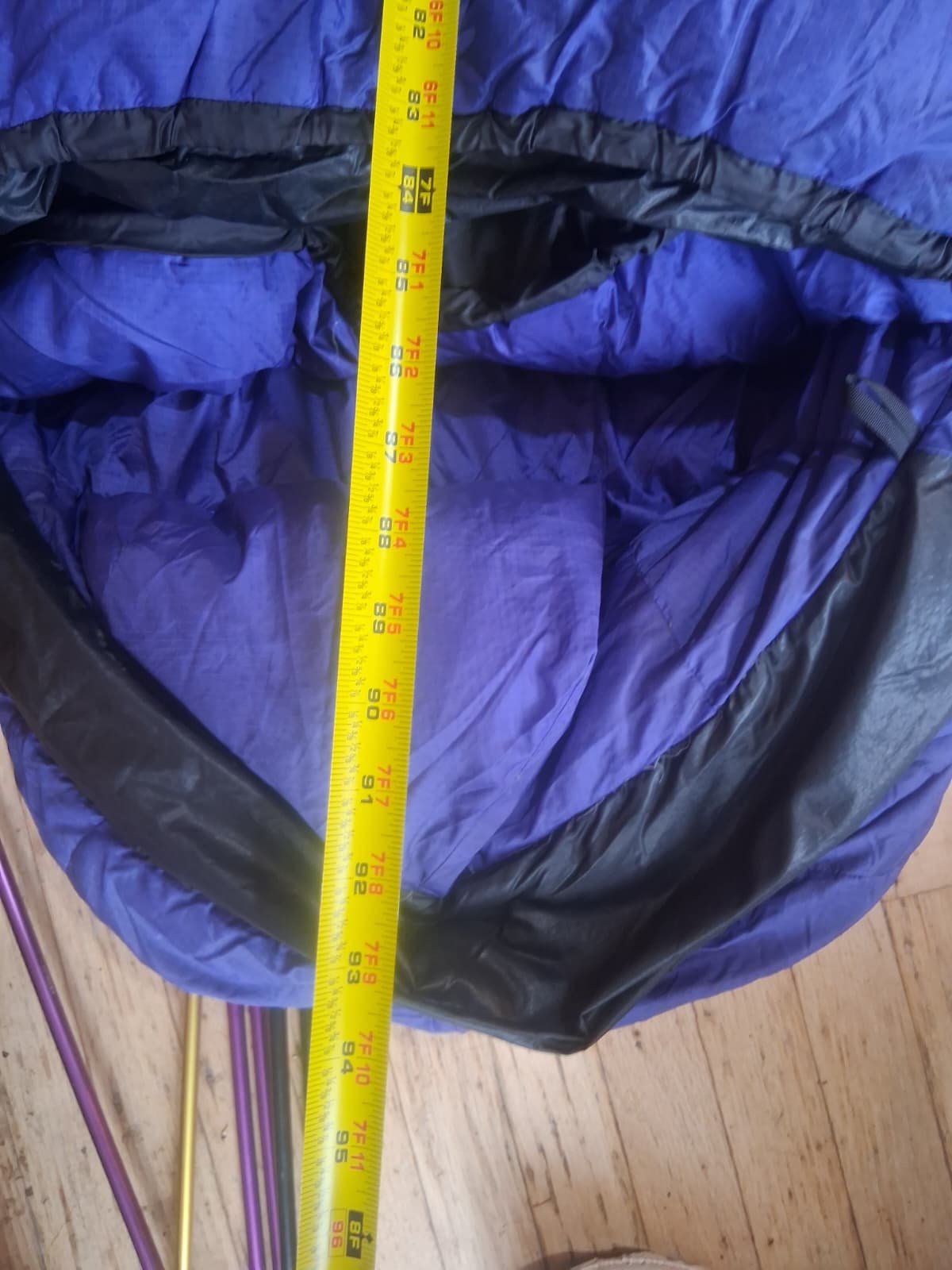
Here are some more photos of the FF Sleeping Bag. Weighs 4.5 pounds in the stuffsack. length is 7 feet from the toe to the collar. its a long. What do you think? Thanks for letting me know. High Altitude Mountaineering Regards, Lee
-
Ok great. where are you located? I live south of Seattle. if you are around here somewhere we could meet up and you could try them on. or, want me to ship them to you? thanks for letting me know
-
I’d be happy to take em off of your hands and give them a try
-
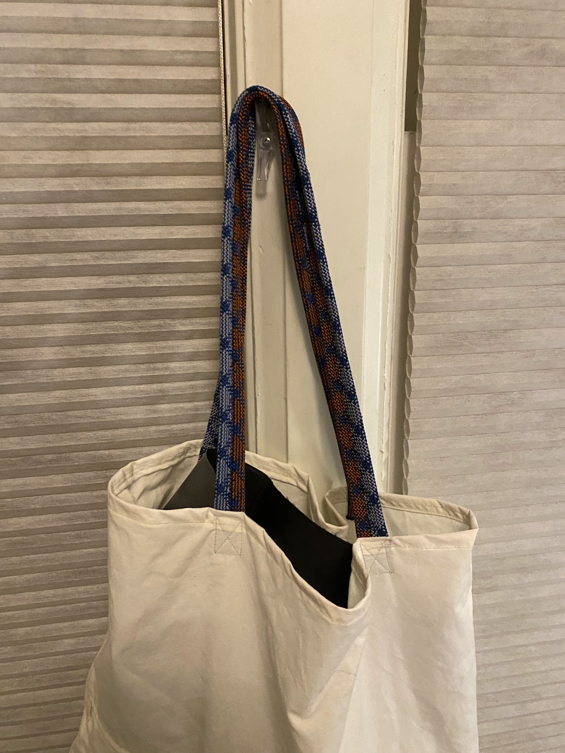
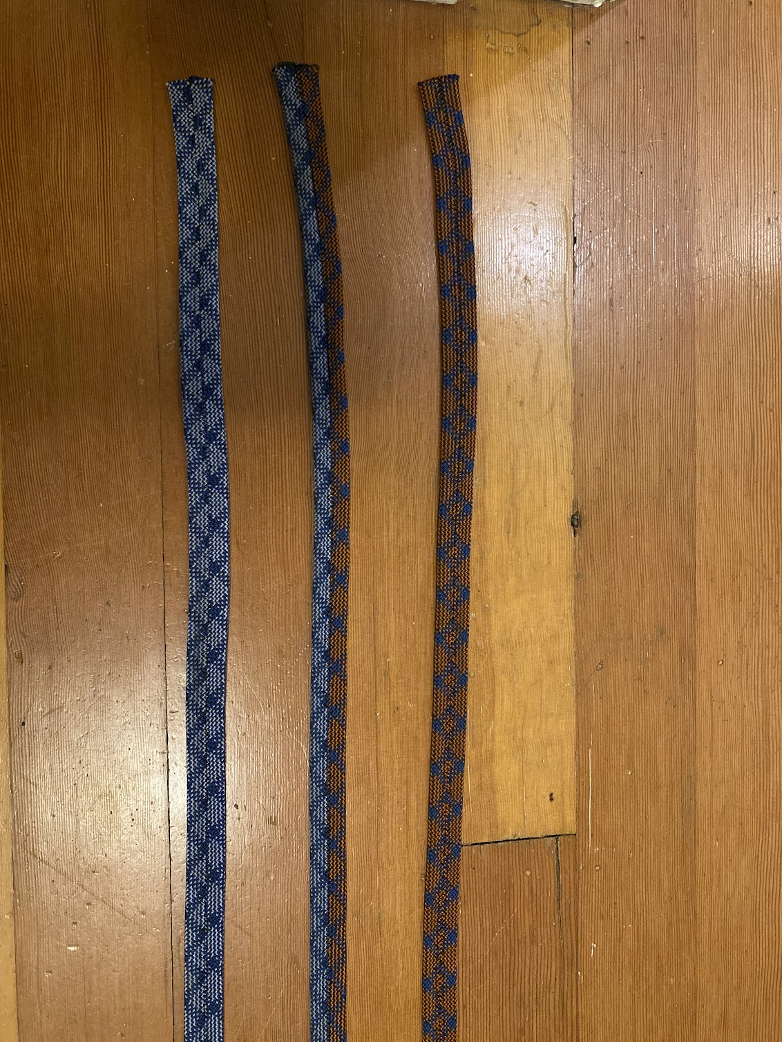
Turns out climbing ropes make pretty bomber webbing for bag handles. Might have a long future as colorful webbing options.
-
I’m sure we can do this
-
Yes that is a current bug. I need to do analysis on how to best drop the non-TRs. I’ve also started on a TR fixing tool admins and mods can use to fix broken TRs that are missing info or are incorrectly formatted. But to do that I need a vision of what a “correct TR” looks like. Then I can use that as a basis for fixing all of them or at least selecting them for corrections
-
ooooh....would be cool to be able to sort search results by date. Right now if I do a user search, seems like it doesn't organize perfectly by date. Also was able to do a workaround for the TR only returns by author by searching for a username and then putting "TR" in the keyword box. Have I really put in 195 TRs over the years?!
-
I think the only tweak that might be needed to to winnow out some "TR" returns for a user where they just commented on a TR but weren't the author. Maybe that is the way to thread it....ask Claude to only show TRs where they are the first post? I mean, when you are searching for a TR by author.
-
I just need us to crowd source ideas for making this site better code wise or any way. Lets hear your ideas. A LOT more just became possible.
-
This is so great!!! Thanks @olyclimber for never giving up on the site. This should really revive our ability to mine the past for future inspiration....much appreciated!
-
Just fixed a bug in the search tool where if there was a space in the name it would search "Lucas+Ng" and not "Lucas Ng". Gotta be able to see @Lucas Ng and EVERYONE's TRs in there! I just happened to notice this. Claude is very smart, but its not infabblile. Do let me know if you notice anything else.
-
Guy survives FOUR HOURS buried in avalanche at Stevens Pass
olyclimber replied to Friedrich's topic in the *freshiezone*
It’s good to get some good news these days! Thanks for sharing! -

[TR] North Howser Tower - All Along the Watchtower 08/06/2019
JasonG replied to JeffreyW's topic in British Columbia/Canada
This is so great @jwalseth!!! Thank you for writing it up and checking back here to post it! -
just did a little rearranging of the form and check boxes in TR Search. Also note I moved it to the far right on the top menu. I also renamed the "Trip Reports" to more accurately be "Submit TR". Probably all I'll do today unless i get some burning idea.
-
 https://www.king5.com/article/news/local/find-my-saved-skier-trapped-4-hours-avalanche/281-31496e1a-69b9-415b-b4e5-395236bb152d Took a brief break to browse for some good news. Check this out- guy survived an Avalanche FOUR HOURS buried. I've never heard of anyone lasting this long. Long enough for his wife to drive up to Stevens pass and tell the ski patrol where he was. I'm 100% sure they KNEW, not thought, but KNEW it was a body recovery situation. But there he was, still alive. It's perhaps a miracle, but more likely he was buried near the surface and there was enough air transport through the frozen snow that he didn't die of C02 poisoning. He reported creating an air pocket around his face, and his body temp dropped to 70, so he basically went in to hibernation. Still. ya gotta breathe occasionally, right? I think the key was he never gave up, wanted to survive, prayed, and his mind and body went into a "I will survive by hibernating" state. Fantastic. Or, it's a miracle. Good for him and his wife, anyway. Does anyone know, is this a record? 4 hours is INSANE -Friedrich
- 1 reply
-
- 3
-
-

-

Home to Dome - 7 day bike to climb on the southern end of the Ptarmy
Lucas Ng replied to Lucas Ng's topic in North Cascades
Oh ya, totally mixed that up. Didn't know Suiattle Road was closed but not suprised. This summer's gonna be a fun time to get turned around by road closures. But maybe bypassing washouts will be another good reason to approach on two wheels. -
Update: These ropes live on! The Duodess stays with us, a different (Petzl) single, the 5mm, and the two Mammut half ropes are taken. The scramble rope may get turned into a doormat if no one else claims it. The two CC.com stalwarts who are receiving my used ropes are going to make a donation to the site. Win-Win-Win.
-

Home to Dome - 7 day bike to climb on the southern end of the Ptarmy
Phil K replied to Lucas Ng's topic in North Cascades
I just saw this; excellent effort!! You had me scratching my balding head over the 8/18 itinerary though. Your day ended up at White Rock Lakes, not Cub. It sucks that the Suiattle River Road is closed again now that the trail has been maintained.