All Activity
- Past hour
-
I cant imagine that cascade river road made it out without damage. that one parking spot for the approach to eldorado peak is like 20 feet horizontal and 2 feet vertical from the river. then there are all the small drainages that cross under the road.
-
Yep. I've done that. It's insurance. Besides, it's fun to relive your glory days!
-
also this Suiattle Road (Forest Service Road 26) is currently open to Canyon Creek Bridge at milepost 8.5, according to recent information from the Mount Baker-Snoqualmie National Forest. However, the adjacent State Route 530 is closed at the intersection with Suiattle River Road (milepost 57) to Concrete Sauk Valley Road (milepost 61) due to recent widespread flooding in the region. This means access to the area may be impacted despite the status of the Forest Service road itsel
-
it would be surprising if any forest service roads are still passable. I heard that the road to north side baker is washed out...again....
-
https://www.cbsnews.com/news/trump-order-reclassifying-marijuana-schedule-iii-drug-expected/
- Today
-
-
Ok, let's hope the funds to enforce mary jane users on federal lands are now diverted to fix all the damaged roads in the NF and NPs of WA! Yeah, I know, fat chance
-
I’m exploring ways to keep it going and making it more resilient. But what I did was a huge step. We are now on the latest OS, and dumped a bunch of old stuff that wasn’t used for the site, all the underlying components got upgraded. we just need to keep it simple. I will keep it going.
-
Thank you so much for getting it back up. I've actually been working on a little project archiving all my TRs as PDFs in legit printable formats (not an easy task) out of fear/knowledge that someday this place will burn down and not come back...glad that time has not come yet!
-
You’re still cranking.
-
“WE ARE NOT DEAD YET!!!” Speak for yourself……….
-
The new Mini3 seems be how Garmin is fighting back. You can send photos and voice notes with it now. So how long till you can do that with a phone? I would wager its in the works already. https://hikingguy.com/hiking-gear/garmin-inreach-mini-2-vs-mini-3-should-you-upgrade/
- Yesterday
-
 SerialAlpinist joined the community
 -
 gcrfinch joined the community
 -
 artemvovk joined the community
 -

[TR] Nooksack Tower - Beckey-Schmidtke 07/23/2023
Thomasp99 replied to geosean's topic in North Cascades
Great write up! I’m a bit late to the party but looking to climb the tower next summer. Would you happen to have a GPX route you could share? Seems like you might be the only recent member party that managed to stay bang on Beckeys route ahaha. -
Highway 2 - preset screwed how many places is it out? - no way yo Stevens Pass. Can’t get to Leavenworth that way. 410 - down to one lane, sure to hose access to Crystal what else
- Last week
-
Emily M, Jonathan P, thank you both for your generous support! I'm not sure of your either user name here, but DM me. Jonathan, I have a hunch on you but want to be sure. Also Rolf and Philip, thank you for both your continued to support of the site! That money really helps...we will have extra cost this month as I had to spin up some extra servers in the recovery effort. And I can't in my right mind bill our site sponsor for this month.
-
 elio joined the community
 -
Yeah baby! Good work Porter and thanks!
-
WELL DONE Porter!!! You deserve all the beer!
-
I think we lost just a few posts as I had to restore from a backup to start the journey to recover the site. It wasn't much, that still does bum me a little and I'm sorry. But the site is back and I'm really happy. I was so stressed.
-
We are not dead! That was extremely trying. The server totally crashed in a terrible way right in the middle of a super intense week at work for me and I was taxed mentally to the max figuring this out. Luckily I have a couple really good friends, ex-coworkers...but they are friends to give me moral support and confidence to do everything I did which was rebuild everything on modern software. So the site is in a MUCH better place than it was pre-crash. I still have a bunch of maintainance to do, but the site is back up and going. Thank you for sticking around. We WILL keep this place alive dammit.
- 8 replies
-
- 11
-

-

-

-

-
 hcvitzthum92 joined the community
 - Earlier
-

[TR] Graywolf Ridge to Walkinshaw - Standard 07/16/2023
Dave 1970 replied to JasonG's topic in Olympic Peninsula
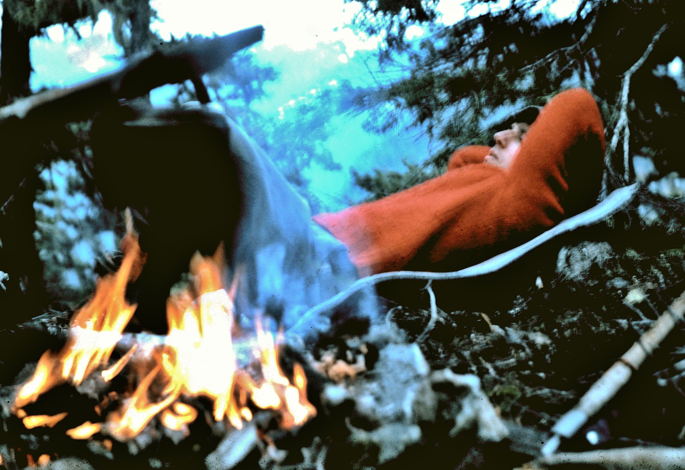
Here are some more from the Red route traverse of the Olympics. I'm not sure of the locations of all of these photos, but pretty sure their all from this traverse. I'll put them in what I think is the correct order from south to north. This was on the ridge from Muncaster to Chimney Pk. We snuck up on these guys , chilling away from the wives- didn't have a zoom lens - they saw us and booked.Taking a break in the lupine. I'm into wildflowers, in case you hadn't noticed. Glacier Lilies. Did you know you can eat the leaves of avalanche lilies and glacier lilies? In fact you can eat the stem and flower, too, but we used to just pull off a leaf from individual plants to make a little salad. This time of year (September) , we could usually find blueberries and occasionally, even a wild onion. We came over a ridge and there was a large herd of elk near the crest. They immediately took off down the snowfield; a bull on either side, looking like they were draining down a funnel. By the time I got my camera out, they were pretty far down the slope. I don't remember which peak this was - maybe it wasn't even on this trip. Anyone recognize it? We usually had a small campfire in the evening. There's something very comforting about a small fire. Those were the days... But we would always clean it up to where you would never know there had been a campfire there. Wheat Thins - with Mt. Olympus in background. You'll notice Wheat Thins in most of our summit photos. We always took Wheat Thins along, and for some reason, it became a tradition to include them in our summit pictures. None of us remember how that came about. But if you see Wheat Thins, you know we're on some summit or another. Shooting StarsYou can tell we're nearing the end of the trip here, as we're looking pretty grody. Must be Mt. Claywood or Fromme. Also, you may have noticed that Rich is wearing his boxer shorts in many of these pictures. That's because I forgot my cutoffs, so he let me borrow his, since he had the boxers. We never saw other hikers back off-trail in the interior, so it worked out ok (except for the photos...) So, this has to be the last summit on our trip. Probably Claywood. A week in the wilderness without a shower or clean clothes. We got some strange looks when we arrived at Hurricane Ridge! (Rich put on his long pants before we got there...)-Copy-Copy.JPG.b20920ff9dcc97e93b224c2bc9f699da.JPG)
.JPG.a0ca8975ff23534af1882ee986b9131c.JPG)
.JPG.7246121b06954ec7dac2354a3ee50dba.JPG)
-Copy-Copy.JPG.6d3b6df1e7ffd7eb4324fb84b9e59461.JPG)
-Copy.JPG.37f64f7e1166f53aac6646a3302754fb.JPG)
.JPG.967491cd9f28c50eb2fb310ef96b8f72.JPG)
.JPG.944729d8a09af1f365034900d7e459a8.JPG)
.JPG.99d130381f8183062f6caaeba619aa39.JPG)
.JPG.eb633b3a68167e1d63f1212e521c2b29.JPG)
.JPG.1bec735e3de4b6dd975243cf0fe0a647.JPG)
.JPG.77660117de0ca6f85f631a915b900b54.JPG)
.JPG.f54245ca6d87db490364609b6549584a.JPG)
.JPG.03238cafa90a571ffd934449c1eac7de.JPG)
.JPG.676ebdce49a85804ebc28c25570aef22.JPG)
.JPG.c141c6d0c87b2fb1b8befbe6486b36c2.JPG)
.JPG.fa29e04bc2a25500705e1b1d8bf582a7.JPG)
.JPG.a406e1e238b89e6ad13076922fb8b5c5.JPG)
.JPG.68cb26506e5f17c004e3b78a0cdabb8d.JPG)
.JPG.baa3acba55794c066b9ae0c1d1a4221a.JPG)
.JPG.e061327a46dee83b9fc69c16e97716b9.JPG)
.JPG.6c91bc5025366ff80da387bbb319ec86.JPG)

.JPG.63f7f13a69b541250bcca795c4f396ae.JPG)
-
Hey @Dane, if Daniel Smith ( @Albert_Pynstardt) doesn't respond here, maybe try pinging him. He's been in that area for awhile now and I bet knows!
-

[TR] Graywolf Ridge to Walkinshaw - Standard 07/16/2023
JasonG replied to JasonG's topic in Olympic Peninsula
That's great Dave! Keep the photos and stories coming.... -
 Patrick McKenzie joined the community
 -

Ideas for quick hits near Vancouver in late March
bedellympian replied to bedellympian's topic in Climber's Board
What time of year was that Wayne? Seems like a pretty low elevation route? -
I did a Wadd trip, like 10 years ago? Was definitely a scary place in August heat but we did S Ridge of Serra 2 and Bravo Glacier up Waddington. Very cool area, but I'm not super excited to go back with climate change affecting more and more at those low elevations.