All Activity
- Past hour
-
@Bronco @JasonG @Alpinfox Thank you all for the information. Obviously this is no simple route. If you have any more websites and sources of info whether it be weather, route updates, and especially reports. That would be greatly appreciated! Again thank you so much! Much more active than my pnw Facebook post. Best, James
- Today
-
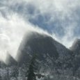
We took the standard three day schedule, early June 2003: Day 1: at the White River ranger station when they opened for permits, bivy at the Curtis Ridge bivy sites. Scouted a route through the Carbon that evening. Relatively easy day. Day 2: Moving at first light through the Carbon glacier. We packed light so we could haul ass and reached Thumb Rock by late morning. Down low on climber's right side of Liberty Ridge encountered lots of individual rocks wizzing by at high speed. After reaching Thumb Rock quicker than expected, we had a brief discussion about attempting to complete the route that day but decided it was hot and we could use the acclimation and hydration time. While at Thumb Rock, we witnessed a huge serac calving from Liberty cap that swept both sides of Liberty Ridge. Anyone on the route between Thumb rock and the schrund that afternoon would've been in trouble. We thought we were toast at the bivy but only were blasted by a cloud of spindrift. I think some folks had to change their shorts. Day 3: Moving before dawn, no issues until reaching the schrund. Leader took a fall onto the (boot axe) belay attempting to climb the snow wall across the schrund. Fortunately he was able to push off enough to land on the glacier instead of into the shcrund. Finished the climb and made the descent with no other shenanigans. I know global warming has changed the route but you have some advantages nowadays such as: access to current weather forecast any time, up to date route conditions, gps routes on your phone, better and lighter gear. It used to be popular to attempt this route right when the White River entrance opened. Some folks will take an extra day and hike in before the vehicle entrance is open. You'd have less competition for permits and probably better conditions on the route IF you get a good weather window.
-
Nope, too small. I could squeeze an 11.5" long sneaker in them but a bulky 12" boot would be a no-go. Sorry about that.
- Yesterday
-
NPS Liberty Ridge guide pdf Some TRs:
- Last week
-
22.5y ago, holy shit! Trip report from 2003
-
@Alpinfox @olyclimber @JasonG @Bronco @aikidjoe Thank you all for the information! I didn't expect this many replies. I don't get many replies on my local Facebook climber group. I must ask, to those who have done Liberty Ridge in the past, could you go through your route. How long it took, when you started, hazards, and just what happened each day. I know I'm asking for quite a bit but I would greatly appreciate it! Also I'm assuming you guys haven't done it in the past couple of years but if you could give your two cents on what the condition might be like now since with global warming speeding up 2015 is nothing like 2025. Thanks Best, James
-
I'll measure 'em tonight
-
Hi - are the overboots available and do you think they will fit a pair of bulky doubles with a 12” long sole? if so, would be happy to put these to use on Denali this spring.
-
 Hi, trying to decide between these two jackets, just wanted to get people's experience with either of them, my main concerns are: waterproofness, breathability, and hood fit w/ and w/o helmet. Thanks a ton!
 -

Silvretta 400 ski mountaineering bindings (for beer!)
bedellympian replied to OlympicMtnBoy's topic in The Yard Sale
Did anyone claim these? -
For sure! I'll send you a DM. Probably won't be out there again until summer '27 though.
-
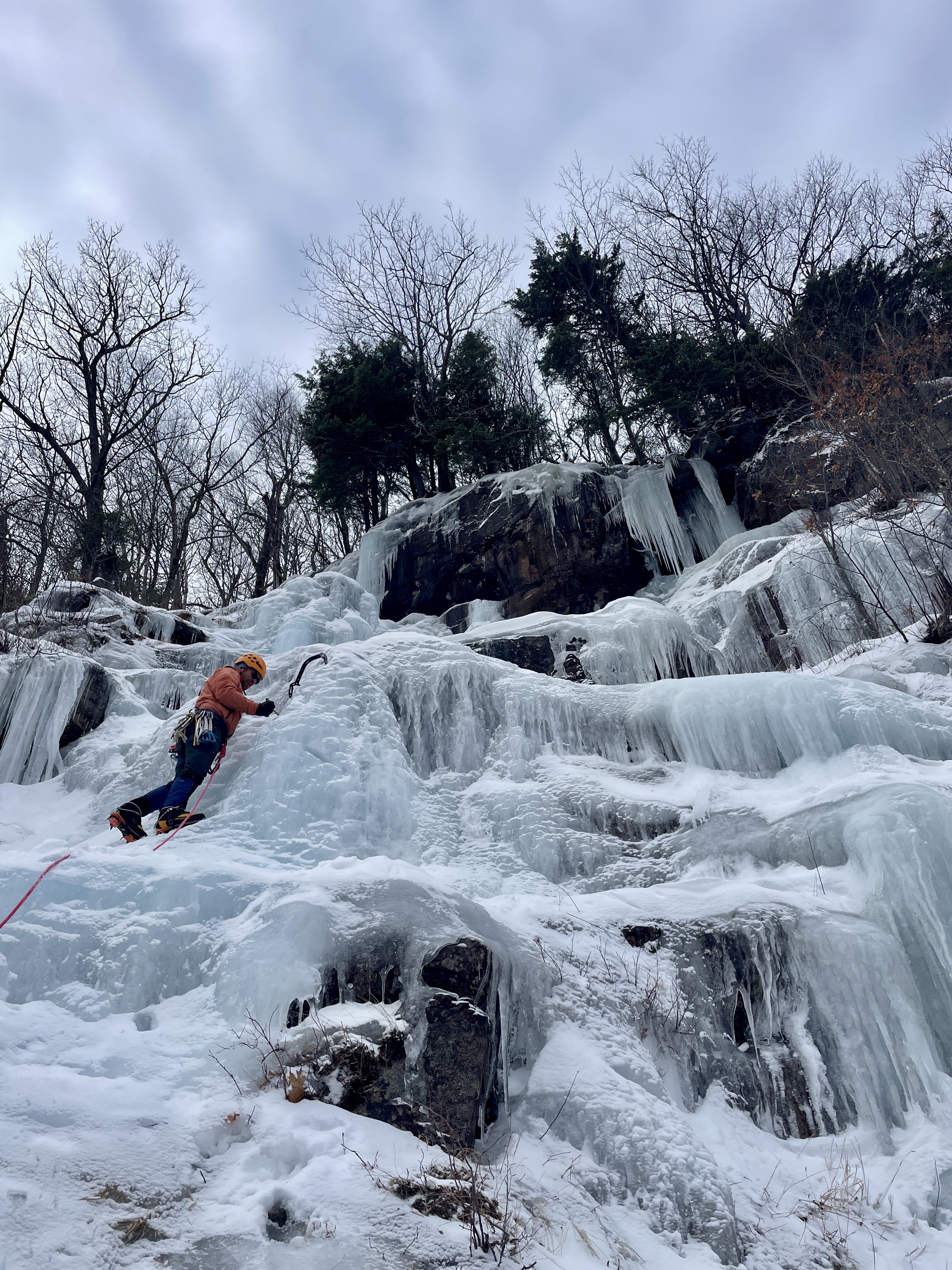
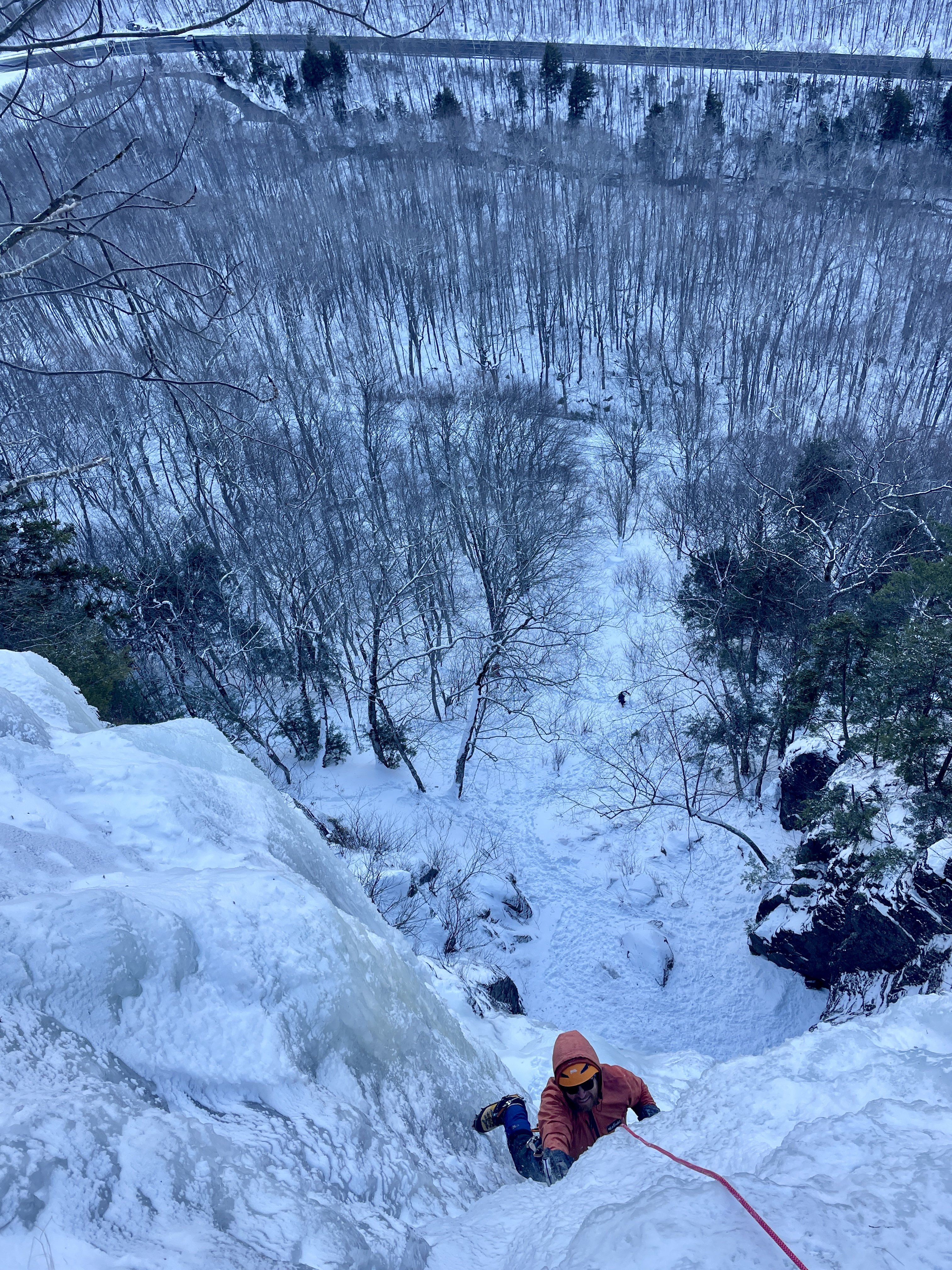
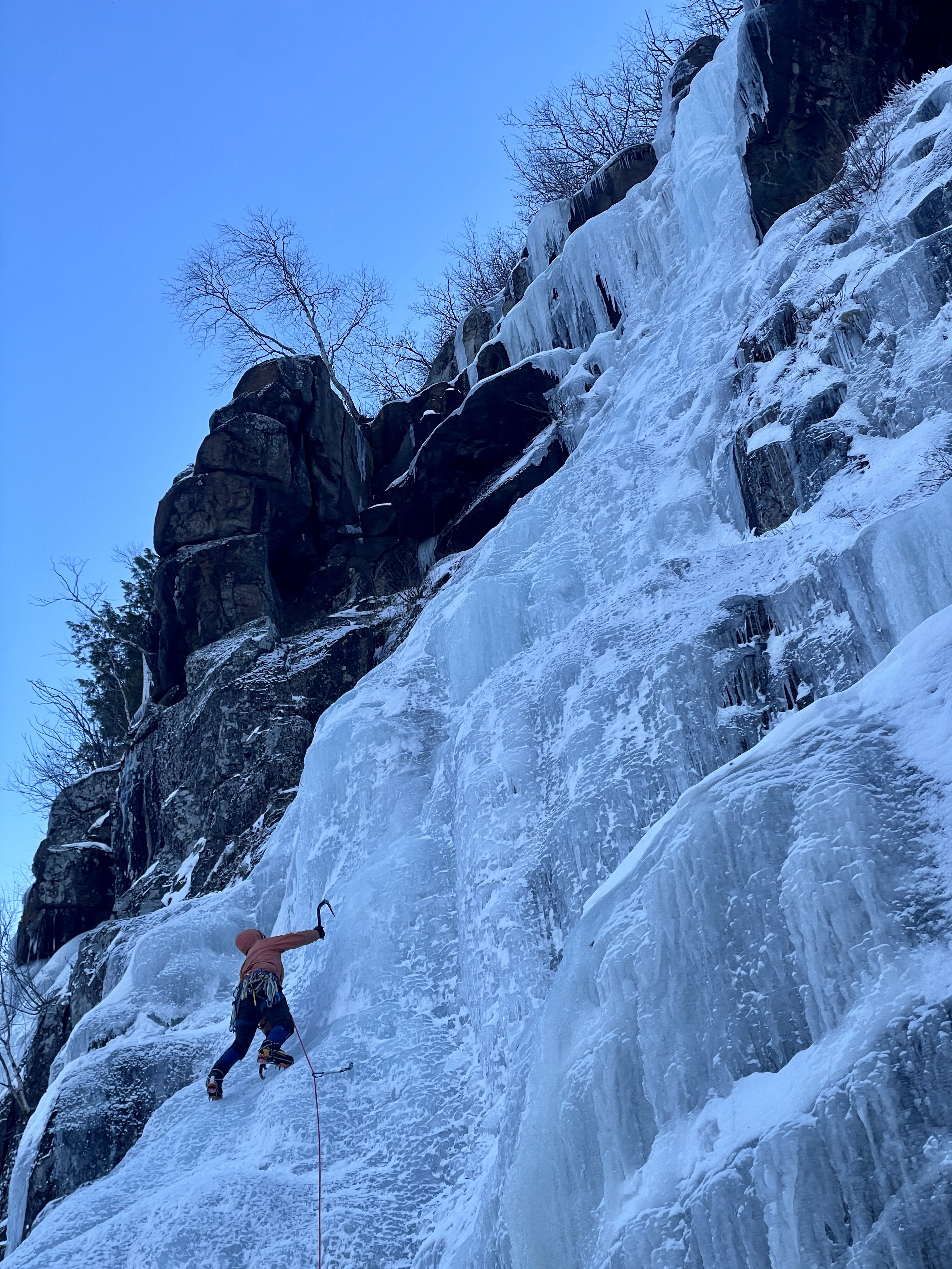
 Hah, we should team up next time! I was out with family as well and climbed at Frankenstein on 12/27 (just before the rain)! Need to get on Black Dike next time.
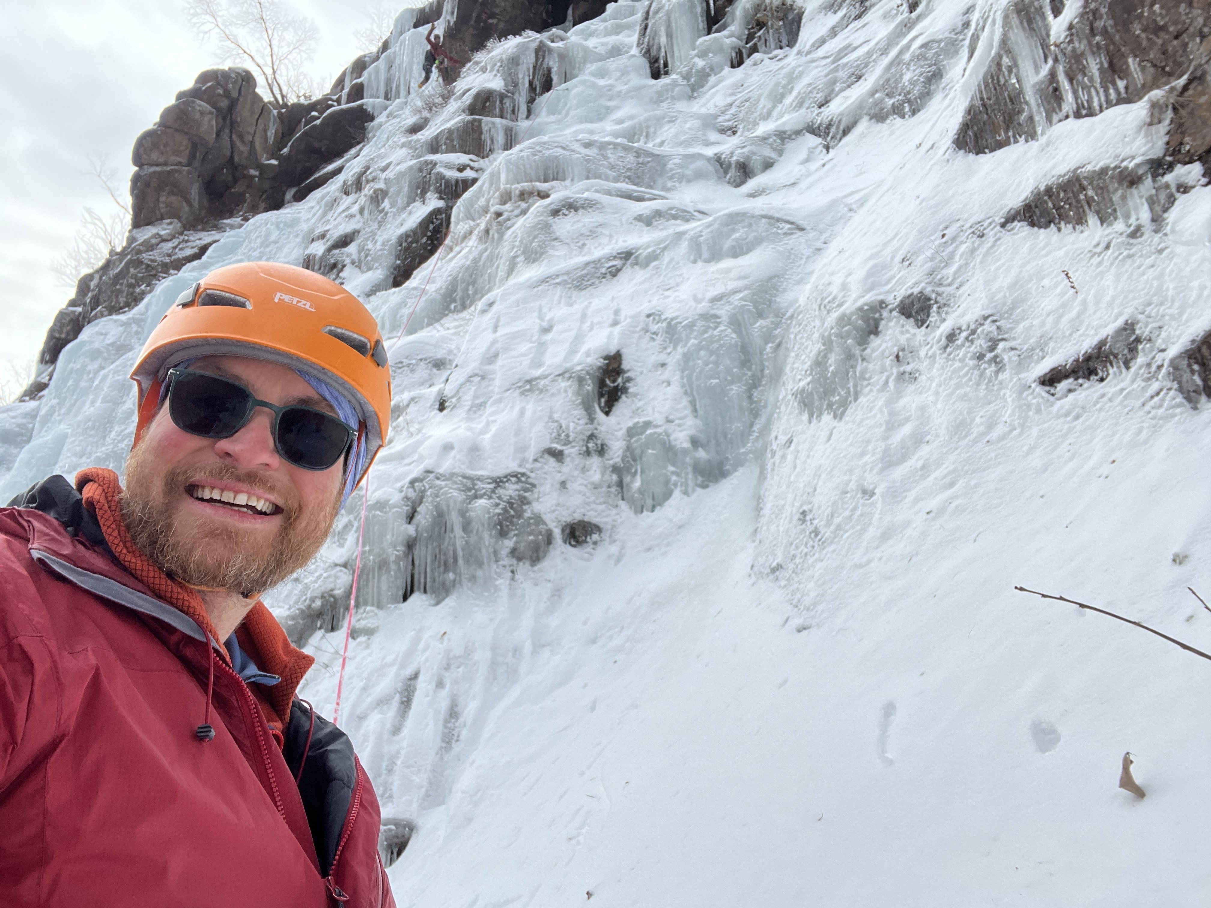
-
Yep. That was me. I have a picture of me holding the approximately dictionary-sized rock that came through the tent while I was sleeping at thumb rock and embedded itself in the snow about 12 inches above the top of my head. It would have killed me if it had been 18” lower. Weird waking up in a fully zipped up mountaineering tent due to a weird noise and looking up and seeing the night sky. Wait, aren’t I still in the tent?
-
Yeah that was @Alpinfox pax
-
Yes! I think that was @tvashtarkatena? or maybe @JoshK? I had a bowling ball sized rock nearly take me out on the Black Pyramid while simul soloing with my partners. I was pissed thinking a partner had knocked it out of the ice but no, he said it just randomly popped out (it was very cold) and started rolling. At least, that was his story.
-
There were so many rocks littering the tent platform at Thumb Rock that I tunneled into the up hill side about 2' so at least my head would be protected during the night. We were in bivi sacks so even a small rock would've been exciting. Wasn't there a TR a while ago where someone had a rock come through their tent in the night at Thumb Rock?
-
21-26 is the perfect age to climb Liberty Ridge!
-
My 2 cents, in general, July is now late for Liberty Ridge because, as you say, melting is far worse. Tons of rockfall and ice fall hazard, really just luck if you don't get hit by something. Memorial Day weekend (when the road to White River usually opens) through mid June are better options, but less reliable weather so have to be flexible. When I did it around Memorial Day weekend in 2015 we were nearly killed by a serac fall near the top of the route, and there was a ton of rock debris around thumb rock (fortunately none fell on us while sleeping). That was a low snow year, but my observation is Tahoma has only gotten rockier and less icy since then.
-
conditions: https://mountrainierclimbing.blogspot.com/search/label/Liberty Ridge Route Guide: https://www.nps.gov/mora/planyourvisit/upload/Liberty-Ridge-Routebrief.pdf
-
You can get free Copernicus satellite imagery here: https://browser.dataspace.copernicus.eu/?zoom=10&lat=47.66954&lng=-121.40991&themeId=DEFAULT-THEME&visualizationUrl=U2FsdGVkX18z6Zi7g1Gbn2Jvf7fcB7hKdFXY56XViUM1f0y3pjlscnbMy4%2BSm%2FxjluCs8JUTQx8CDq%2BkXXcBjEKcs%2FIdXAgLCLpQHbynBn9mF0ONoxVS17wsMJ1aztTj&datasetId=S2_L2A_CDAS&fromTime=2025-12-22T00%3A00%3A00.000Z&toTime=2025-12-22T23%3A59%3A59.999Z&layerId=1_TRUE_COLOR&demSource3D="MAPZEN"&cloudCoverage=100&dateMode=SINGLE And free NOAA snow depth modeling here: https://www.nohrsc.noaa.gov/interactive/html/map.html?ql=station&zoom=&zoom5.x=2&zoom5.y=14&loc=48.946+N%2C+122.239+W&var=ssm_depth&dy=2026&dm=1&dd=7&dh=15&snap=1&o5=1&o6=1&o9=1&o12=1&o13=1&o15=1&lbl=o&mode=pan&extents=us&min_x=-122.86666666667&min_y=47.899999999996&max_x=-120.99166666667&max_y=48.949999999996&coord_x=-121.92916666667&coord_y=48.424999999996004&zbox_n=&zbox_s=&zbox_e=&zbox_w=&metric=0&bgvar=dem&shdvar=shading&width=800&height=450&nw=800&nh=450&h_o=0&font=0&js=1&uc=0
-
Just saw there is a newer climbing gym in the West Seattle area. Has an interesting roller feature. I haven’t been there but it’s called Castle Climbing Club.
-
 JoelG joined the community
 -
Curious if there is anyone here that climbs at or is interested in climbing at High Steppe in Yakima.
-
 james_l.7 joined the community
 -
Hi! I know I am a bit late. But I am intersted in Liberty Ridge as well. I have numerous wi5+ under my belt plus rainier, baker, helens, hood (1 time each). I also am under 25 as a matter of fact. I am considering it this July 2026 given weather conditions and peer reviews. I've asked around and not many do climb Lr. And out of those who do, 99% don't post or update so I have no idea of the condition of the route. I heard with melting it has been even worse! Though I have messaged a couple of people who say they might do it and for them to let me know how things go.
-
Potentially interested, especially if skiing down! One-dayed Rainier last spring via DC. Recently moved here from CO myself (also have 300+ summits there), I have AIARE, crevasse/rope rescue, and steep skiing experience at a similar level.
-
Yes totally doable just be prepared for more snow being early season. My wife and I climbed it mid June with our dogs a few years ago and had a fantastic ski off the summit back to camp. We hit consistent snow at the top of the switchbacks before White Pass. I would recommend taking a backcountry/touring setup if going in June. Much easier travel especially in the heat of the day when the snow becomes sloppy. With all that said most the PNW is currently behind in snowpack so maybe June will be a little more snow free this year. Either way I would definitely try to see where the snow line is so you are prepared with the right equipment. CalTopo's Satellite imagery is one of the best for this. You have to have a paid membership to get the high resolution but it updates every 4-6 days and you can clearly see where the snow line is. Best of luck! Glacier Peak is a cool trip!