


olyclimber
-
Posts
26927 -
Joined
-
Days Won
113
Everything posted by olyclimber
-
this is a steal at this price if you need a copy, don't wait.
-
OK the shower is in at the folks. So...next week? Mid-week? We could either brown bag it as Rad mentions or if anyone knows a good place with spacious outdoor seating, that would probably work too. All are welcome....I guess, unless you're not of the age to make it into an establishment if thats what we do.
-

[TR] Mount Triumph - Memento Mori 08/29/2022
olyclimber replied to Michael Telstad's topic in North Cascades
bellissimo! -
[TR] I90 Corridor - Mailbox to Granite Traverse 08/11/2022
olyclimber replied to Kyle M's topic in Alpine Lakes
You'd probably want to get an early start with that link up. -
[TR] I90 Corridor - Mailbox to Granite Traverse 08/11/2022
olyclimber replied to Kyle M's topic in Alpine Lakes
Its an old road up to Granite Lakes. Lots of traffic up to there...don't know past Thompson lake, but I bet its pretty good. What appealed to me...you can C2C it. -
damn. that is a worthy route name!
-
[TR] I90 Corridor - Mailbox to Granite Traverse 08/11/2022
olyclimber replied to Kyle M's topic in Alpine Lakes
That’s a nice one, will have to give it a go sometime -
I assume he would need a ouija board to do that?
-
BTW the “approach notes” are mandatory but you can be as creative as you want with that section. We need to look at making that optional.
-
Well now we are forever linked by this night under the stars. That is a very nice looking bivy spot.
-
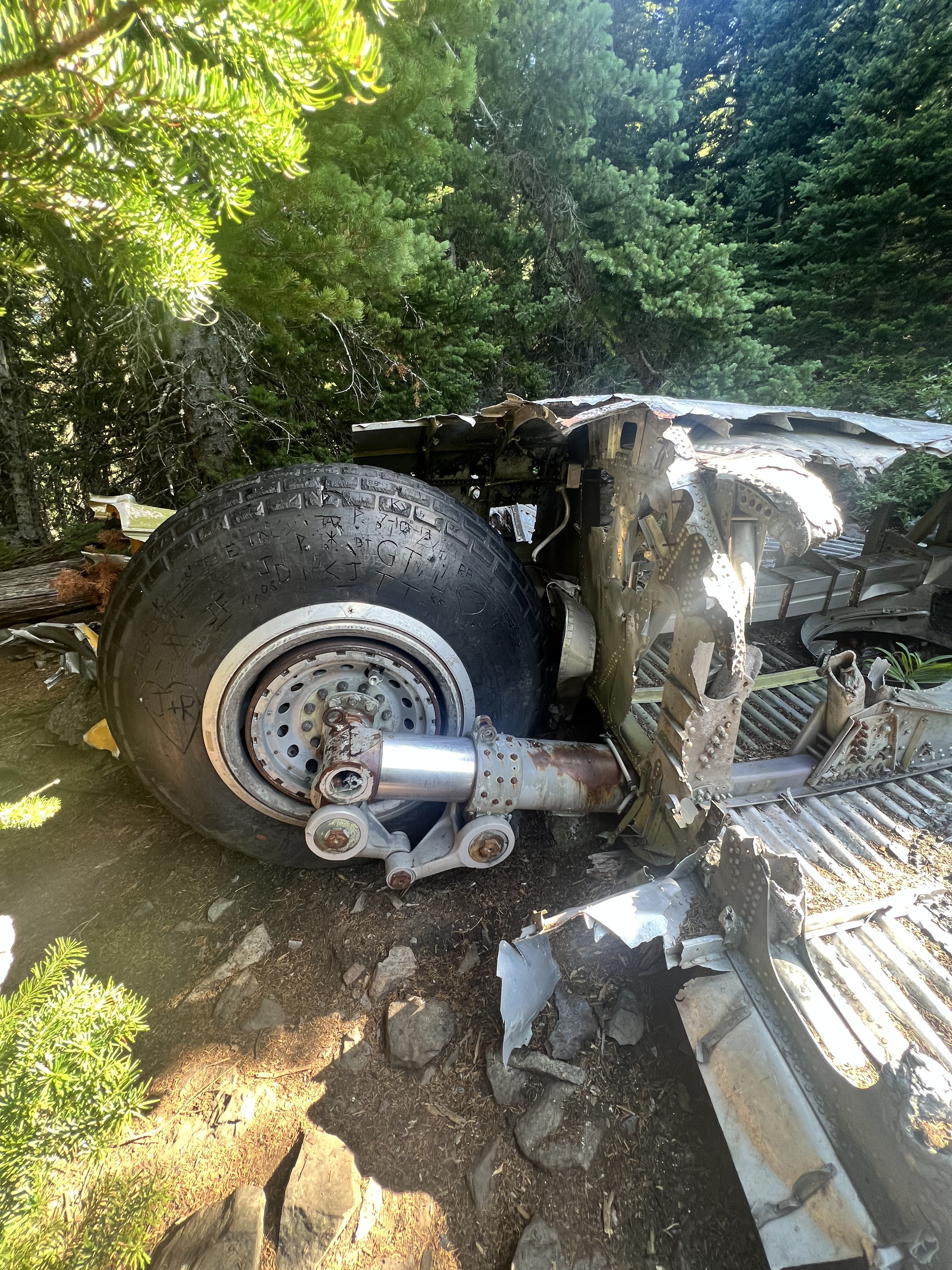
I visited it about 22 years ago but I didn’t event notice the larger wreckage ?. I just saw the couple pieces on the main trail and figured that was it. Also the trees are a lot bigger after 22 years! Apparently they grow and stuff.
-
Belts made from retired climbing ropes
olyclimber replied to Joshua FitzPatrick's topic in Climber's Board
Normally don’t allow “spam”, but this is kinda relevant and not some megacorp nor does it seem scammy… -
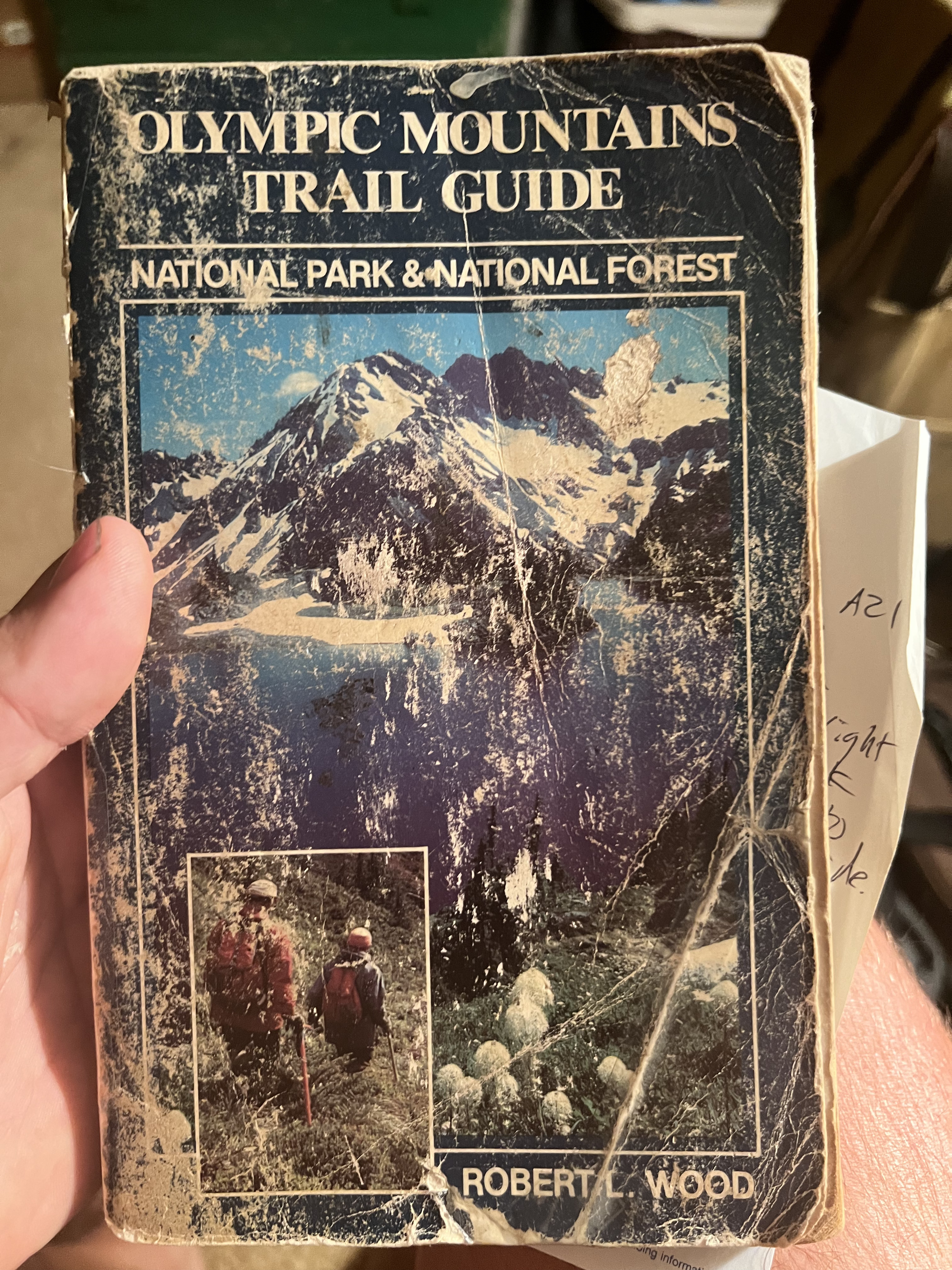
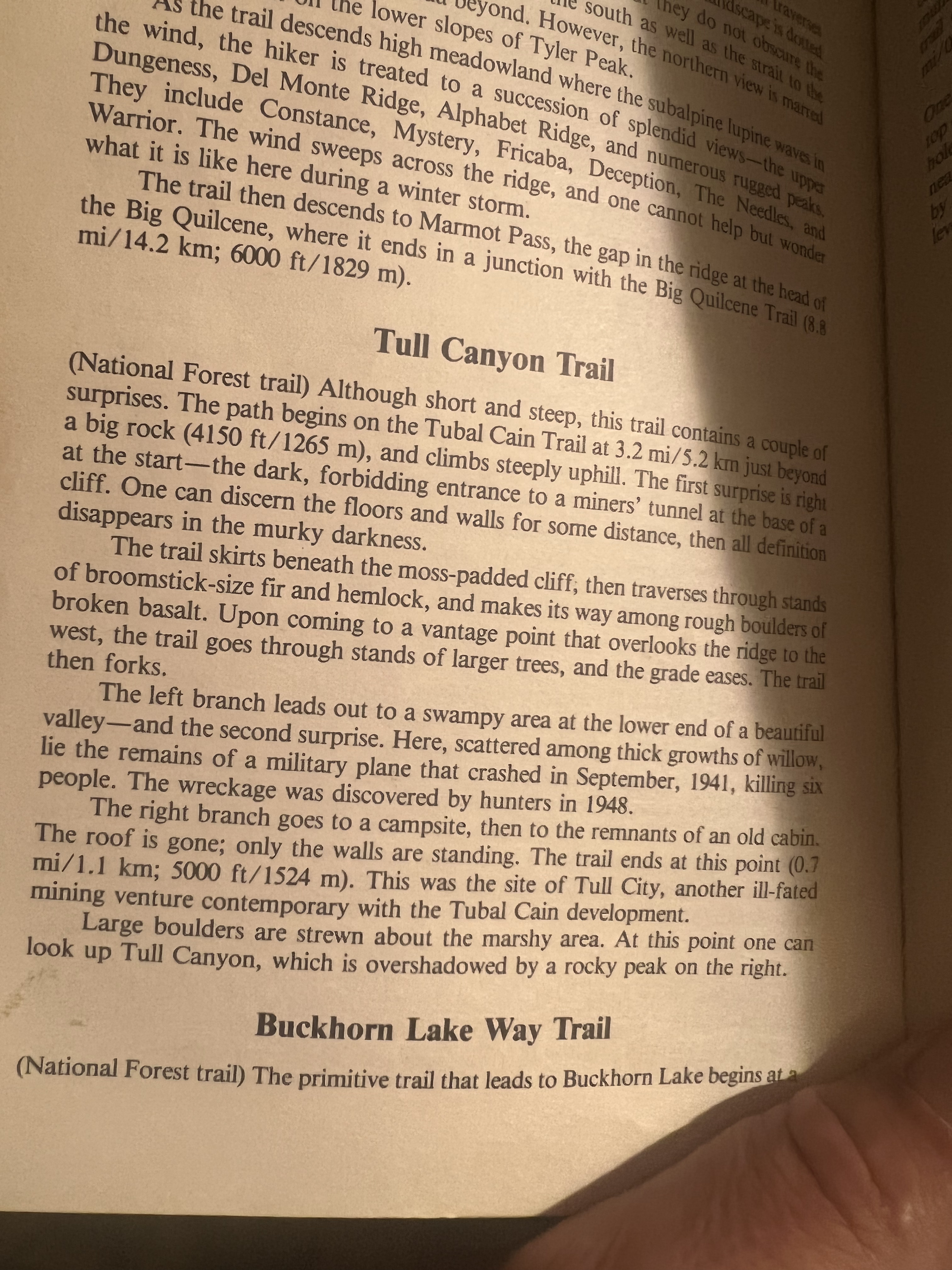
out at my parents I find this guide from my youth that confuses the 1952 crash of a B-17 in Tull Canyon I mention above where most survive another earlier crash on Mt Constance in 1941 where all 6 perished (not the 70s crash of the C141 which my dad remembers occurring). But still this guide was the ticket to my formative years for sure! https://aviation-safety.net/wikibase/76515
-
For sure...same. Knock on wood. Definitely outdoors. Also I'll buy you a beer if you can figure out how to get Jason down here too.
-
Who would brave a public appearance for this?
-
[TR] The Pickets for the Old and Slow - McMillan Spires 08/19/2022
olyclimber replied to tanstaafl's topic in North Cascades
Old and slow? That's in my wheelhouse. I like the "who wore it better" between you and the goat on stacks of rocks! -
Any interest in a Seattle area pub club? I gotta go out and remodel my parents bathroom...tile in a shower and stuff. But when I come back maybe in the next couple weeks. Not a big deal...just meet up and have a few brews. Like the olden days. Maybe I can talk @jon in coming down for it.
-
Holy cow look a sexy Dallas with the mesh shirt and the rad haircut! RIP.
-
He is that. He is currently recharging for our next endeavor.
-
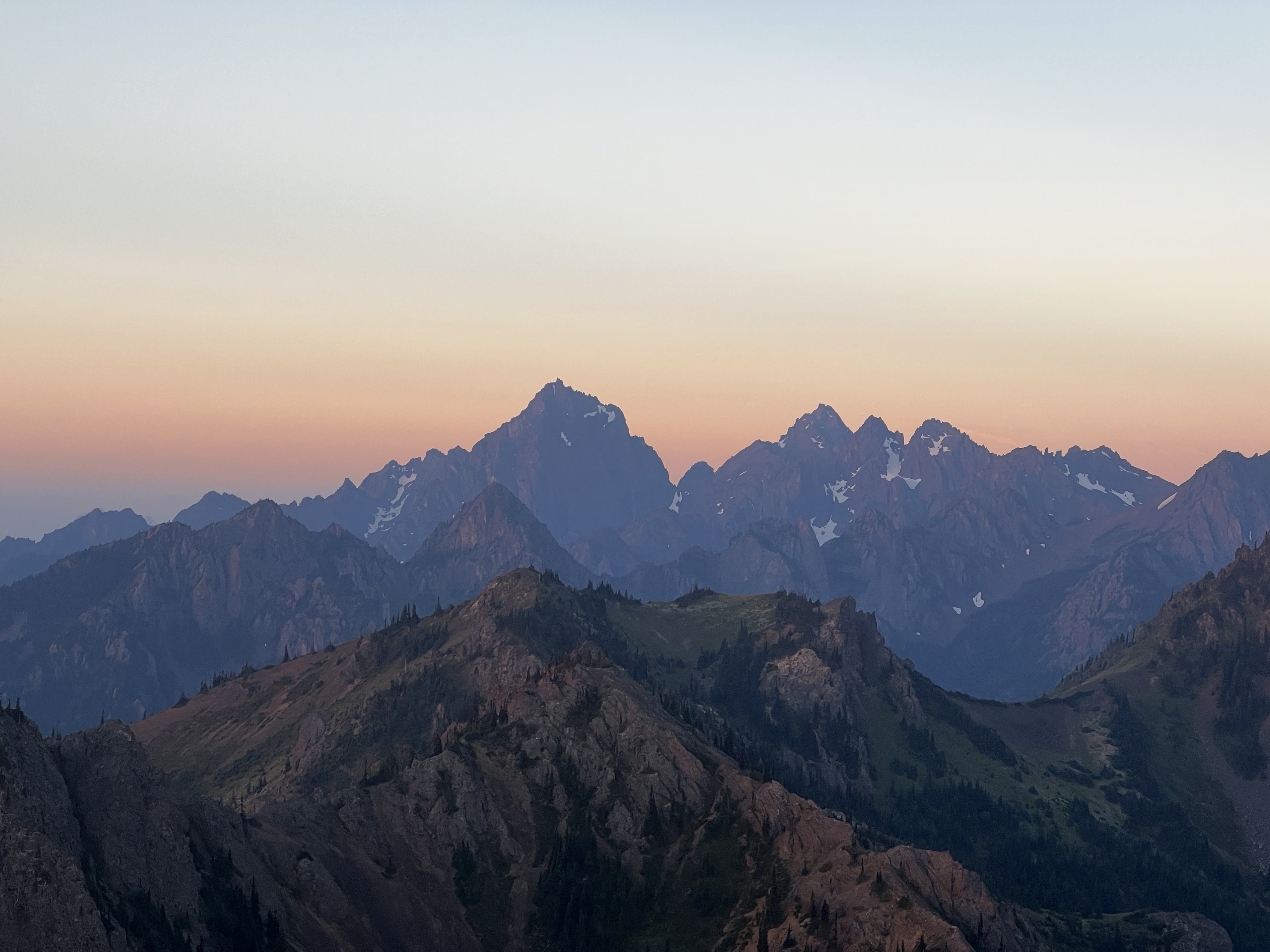
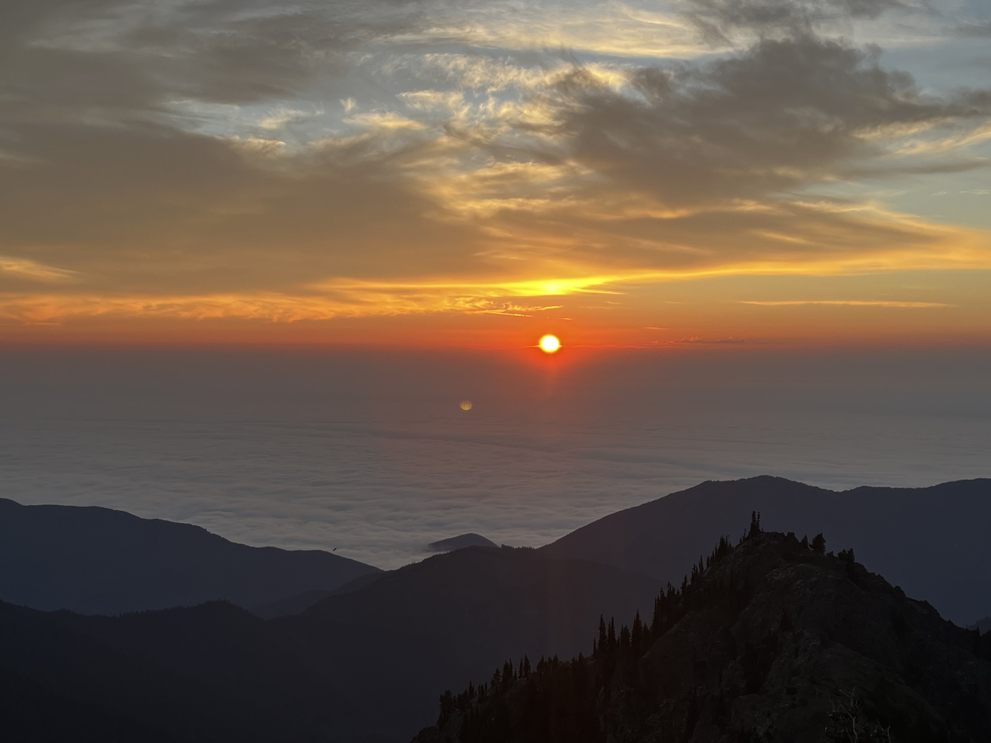
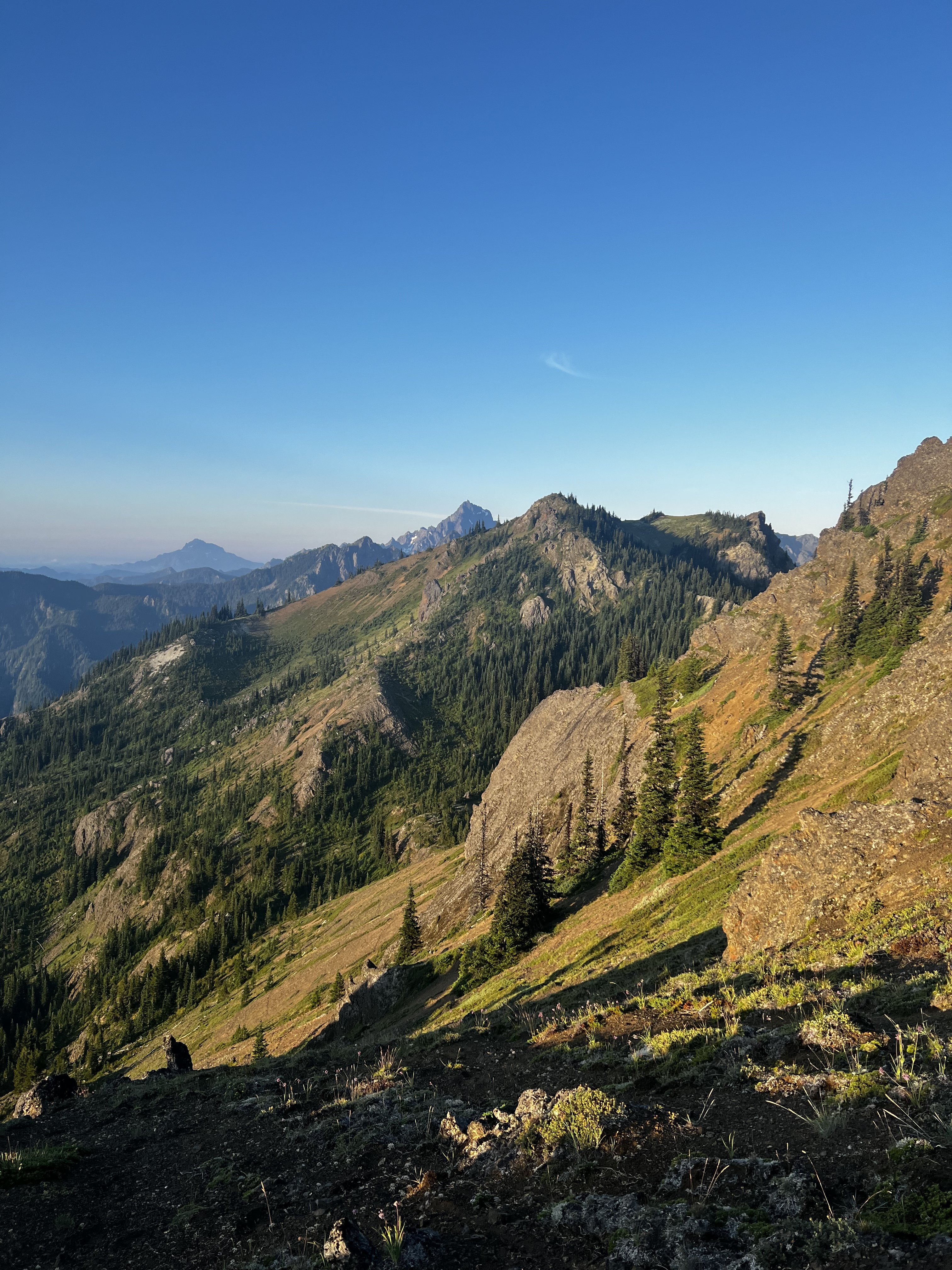
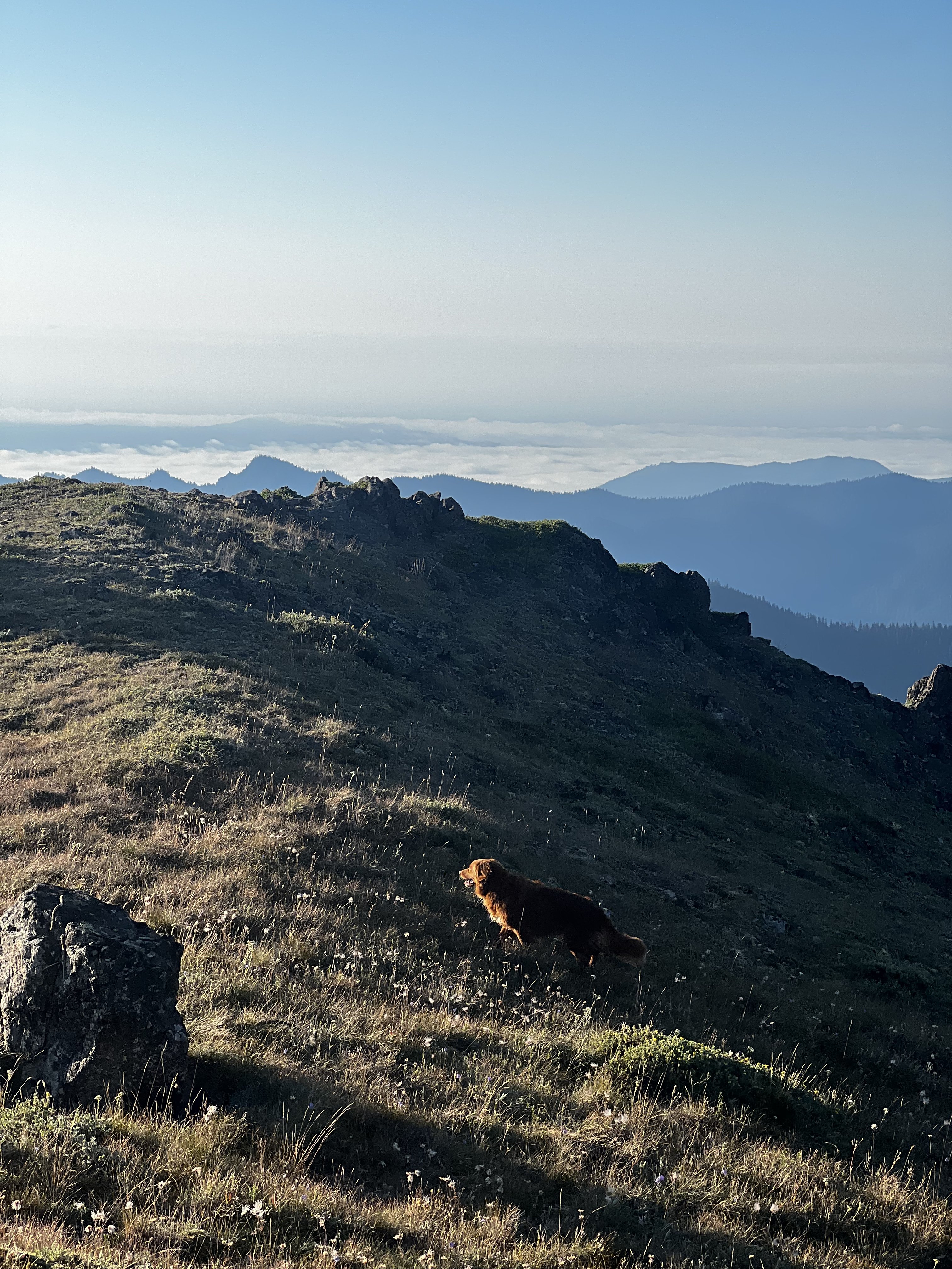
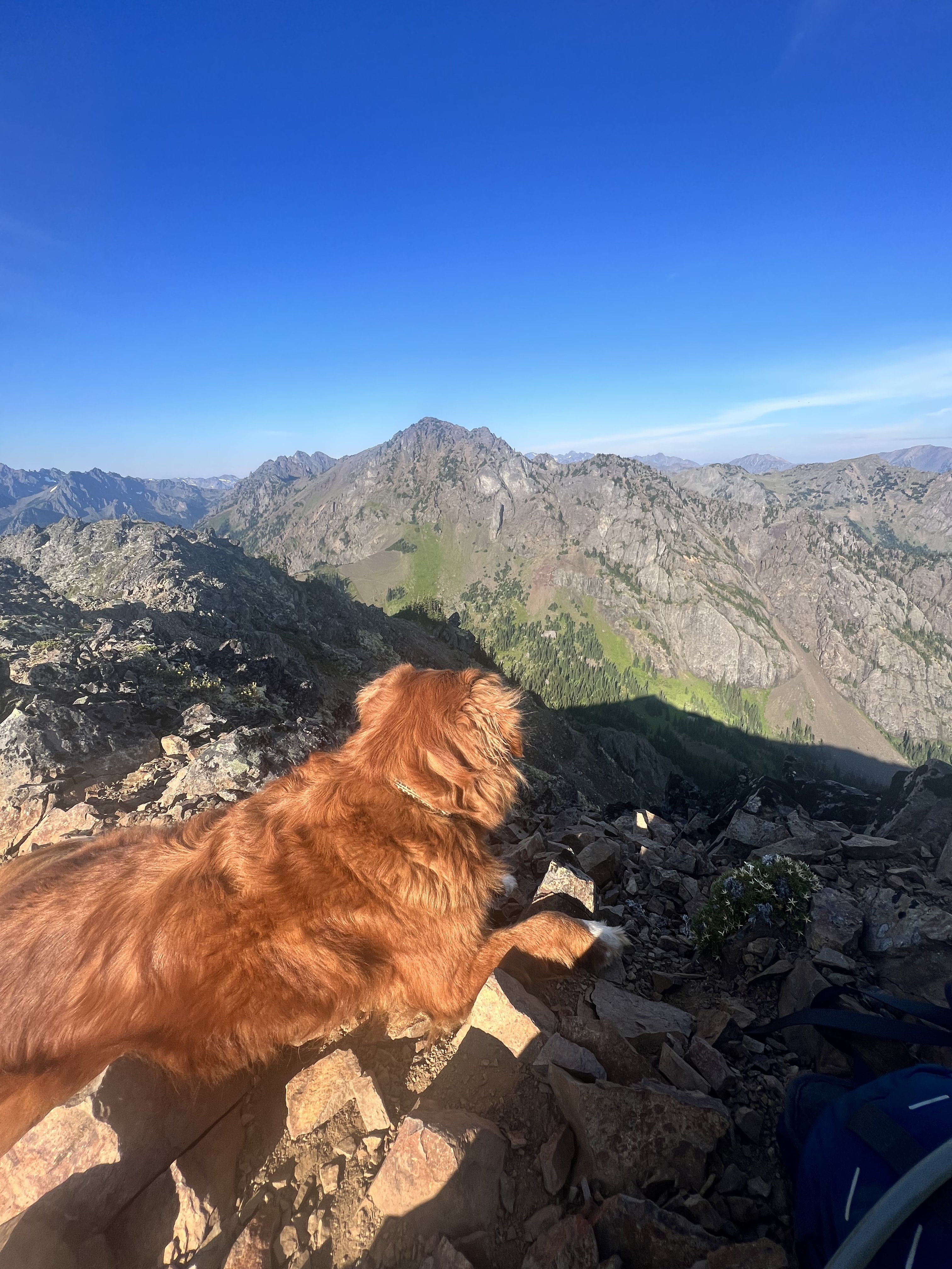
View from Hawk Peak: excuse the heavy breathing...it was probably my climbing partner.
-
Here is what I saw in the sky Friday night: https://westseattleblog.com/2022/08/heres-what-that-bright-streak-in-the-sky-was/
-
I saw you were passing along a few things to the next gen. Love it Wayne!
-
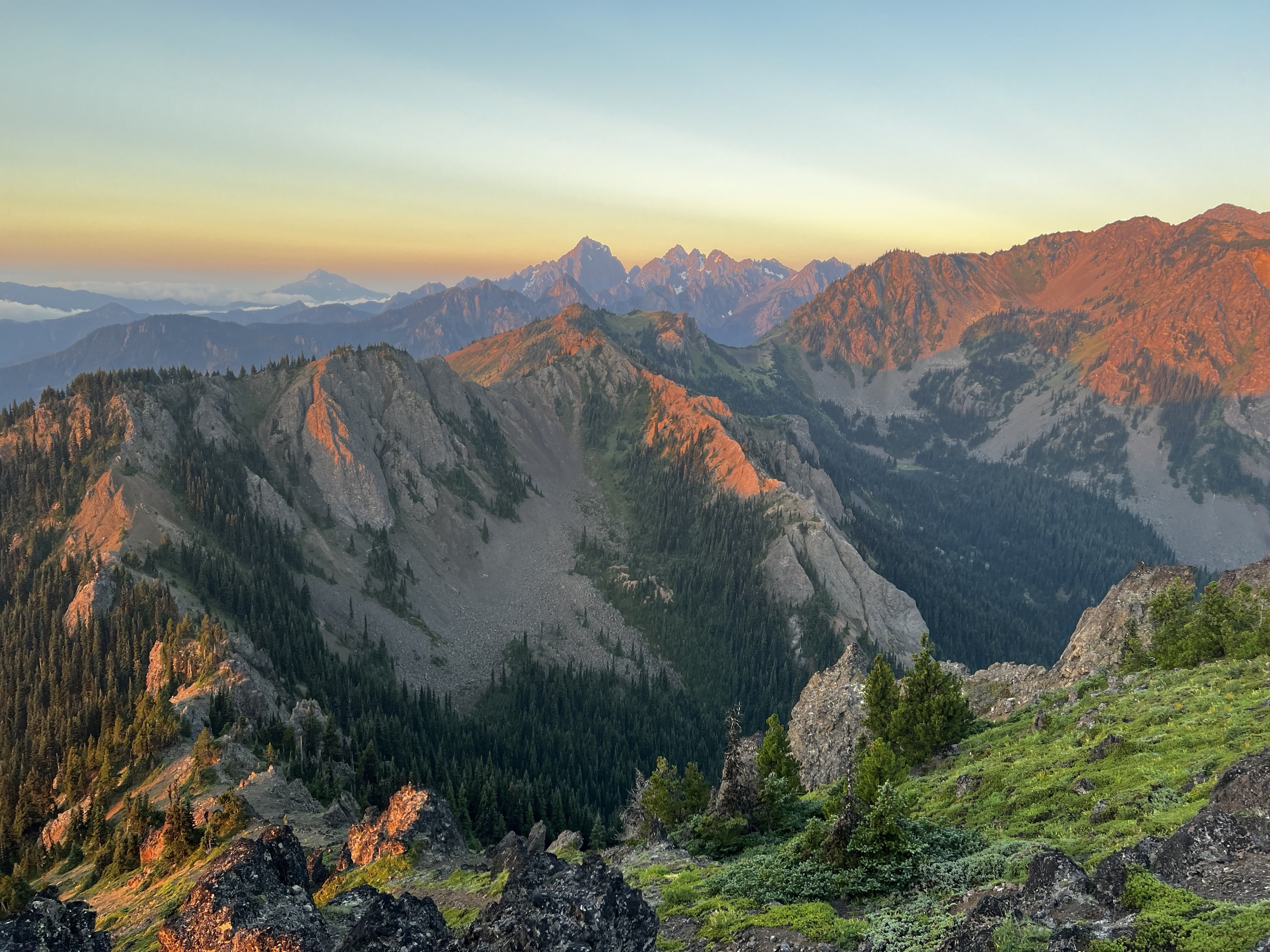
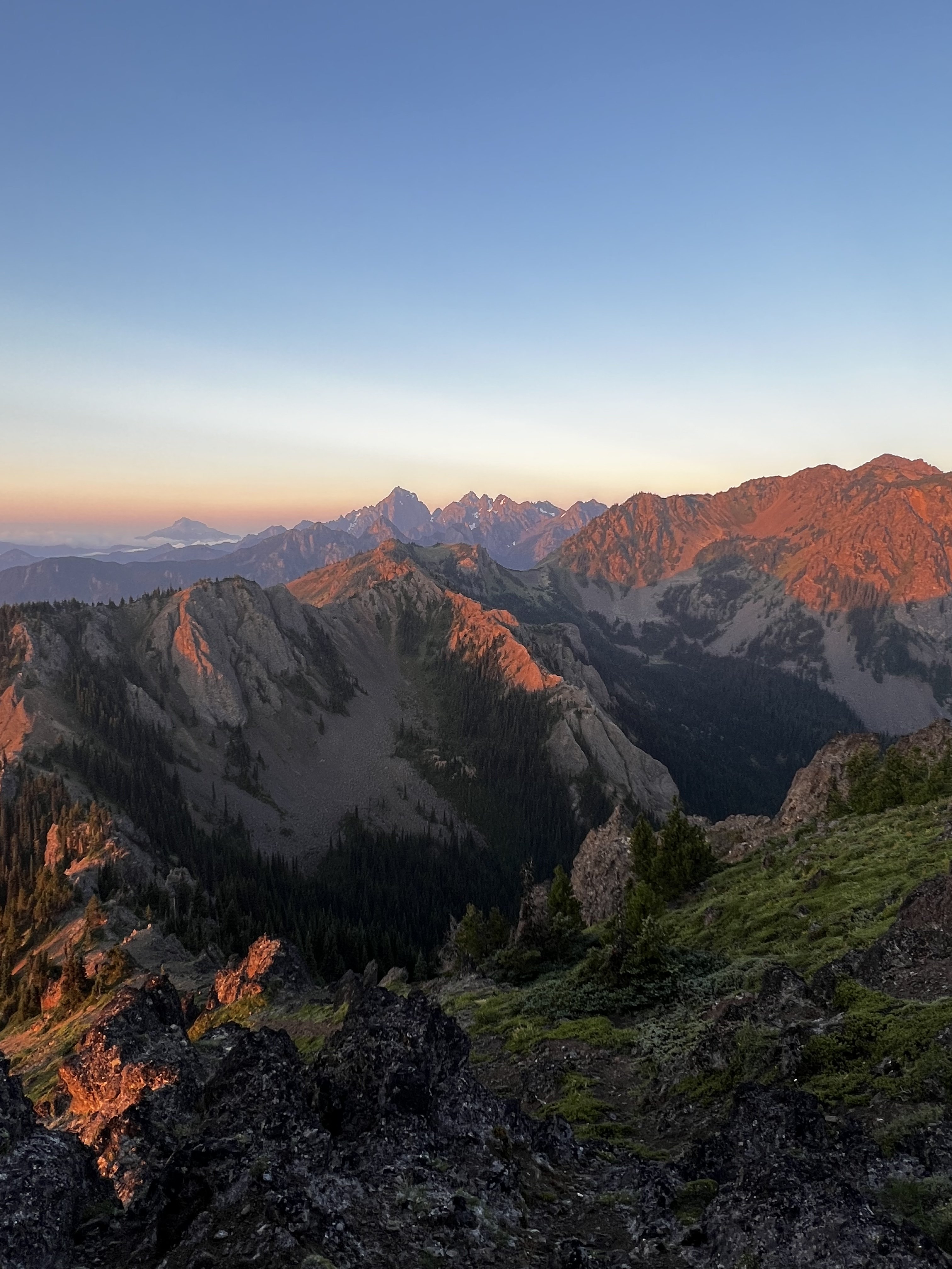
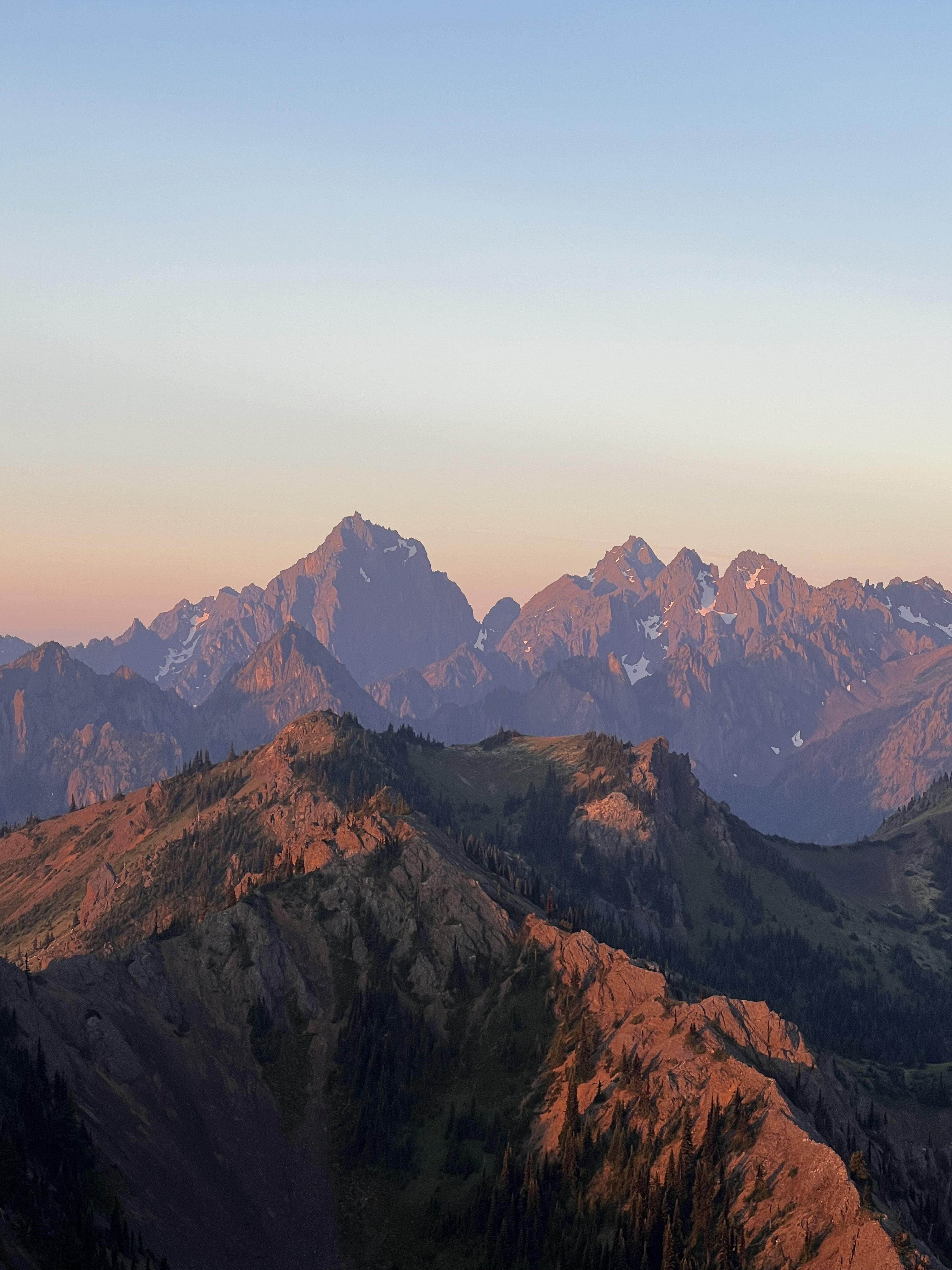
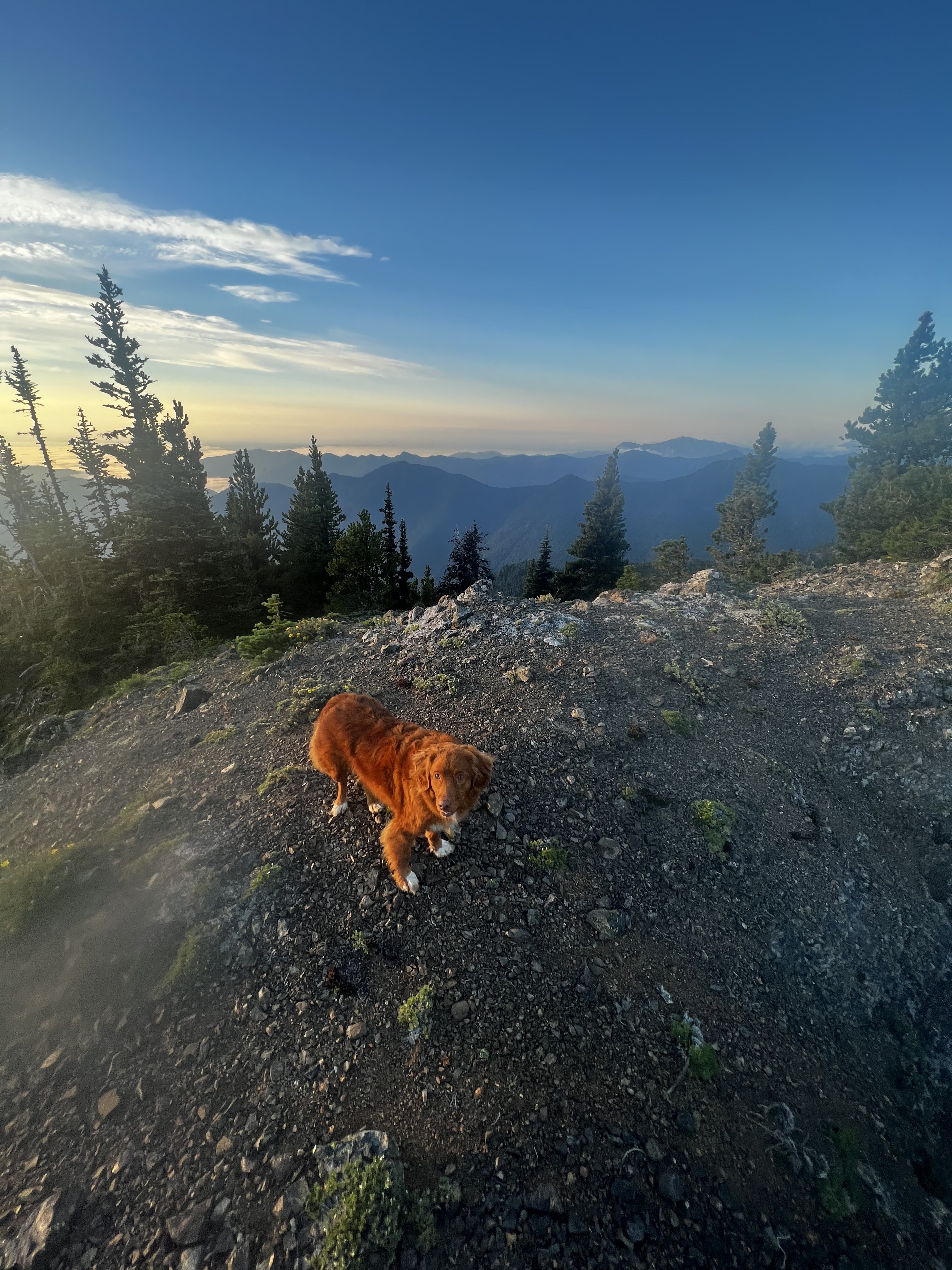
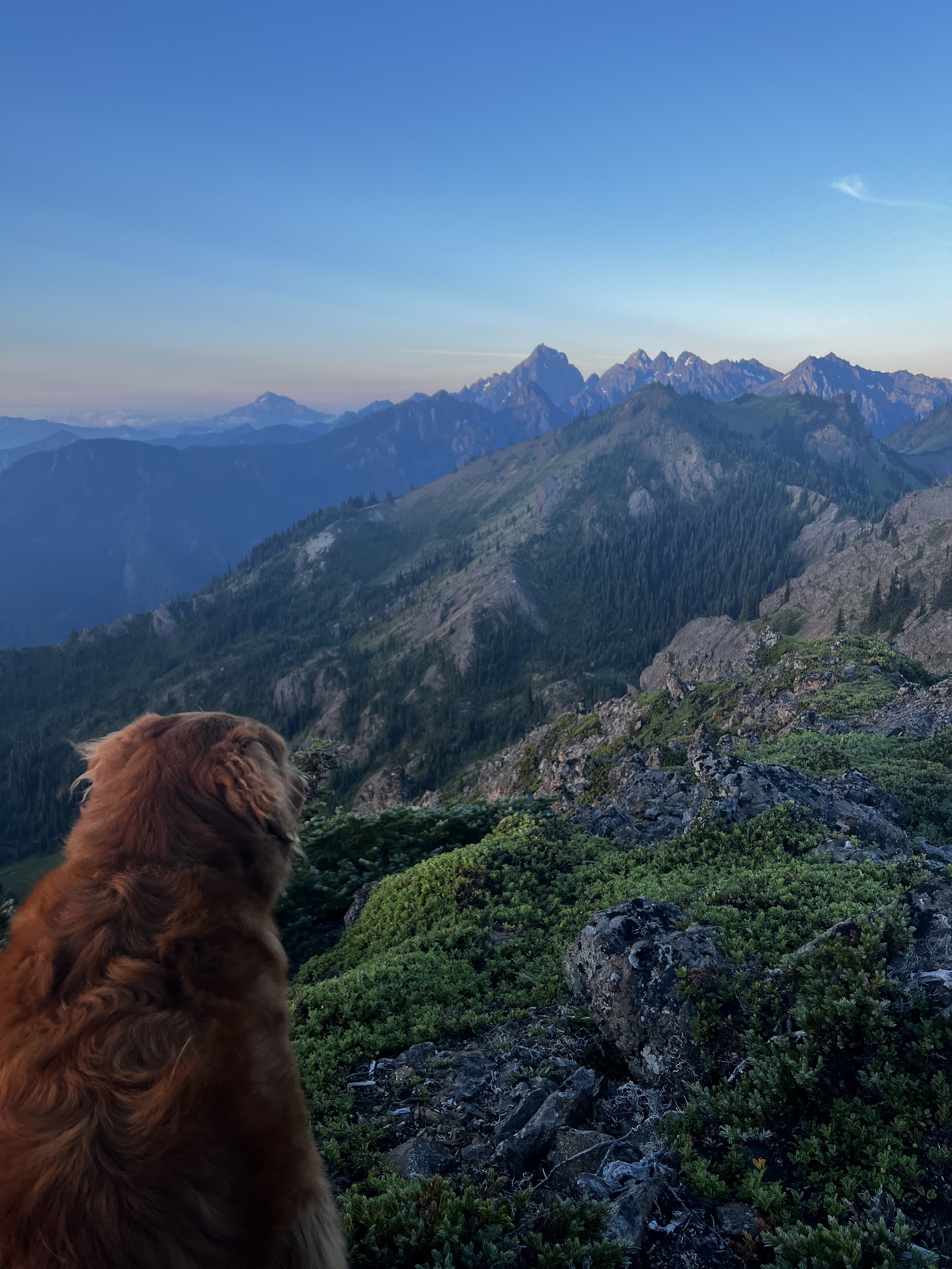
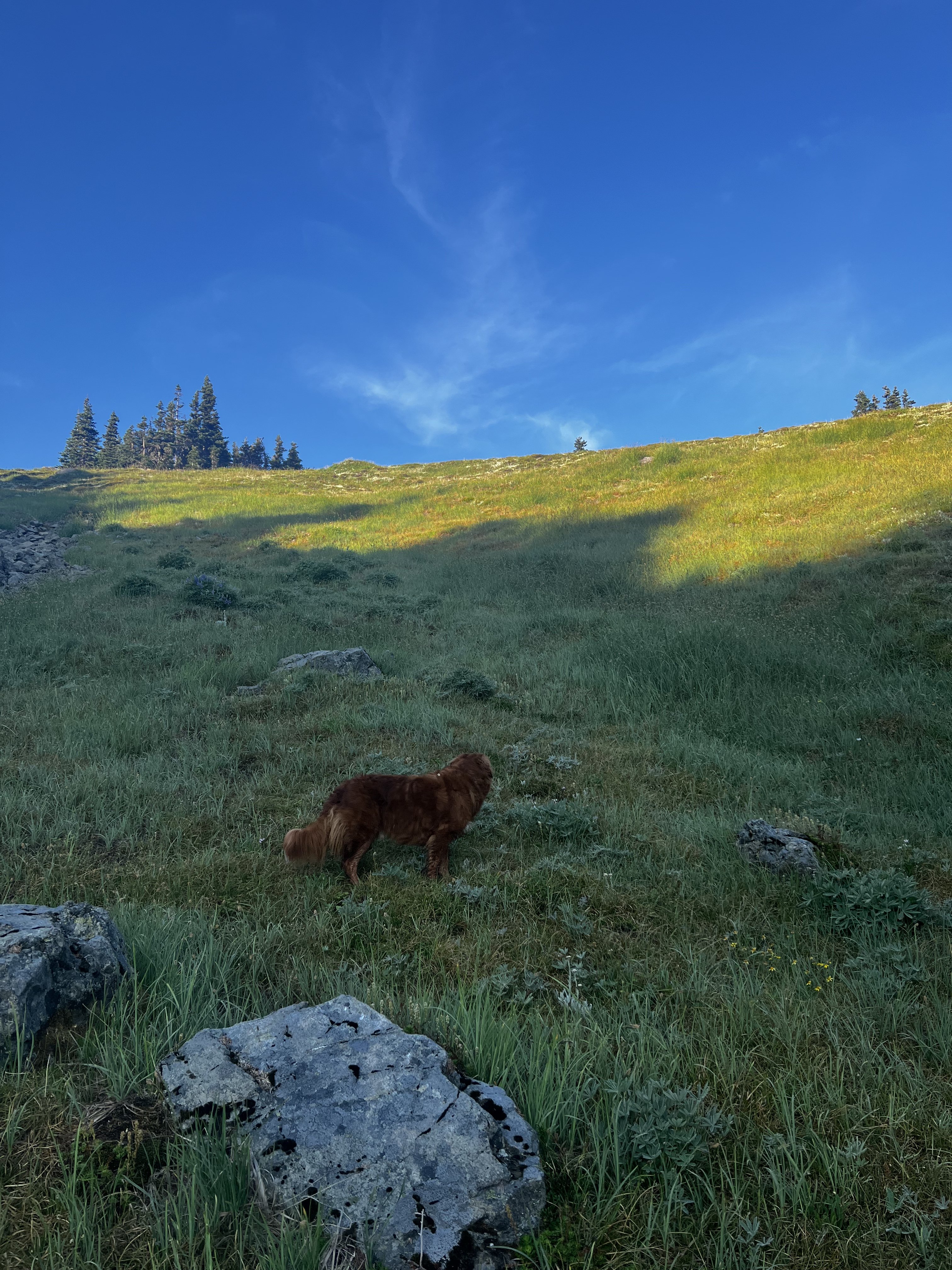
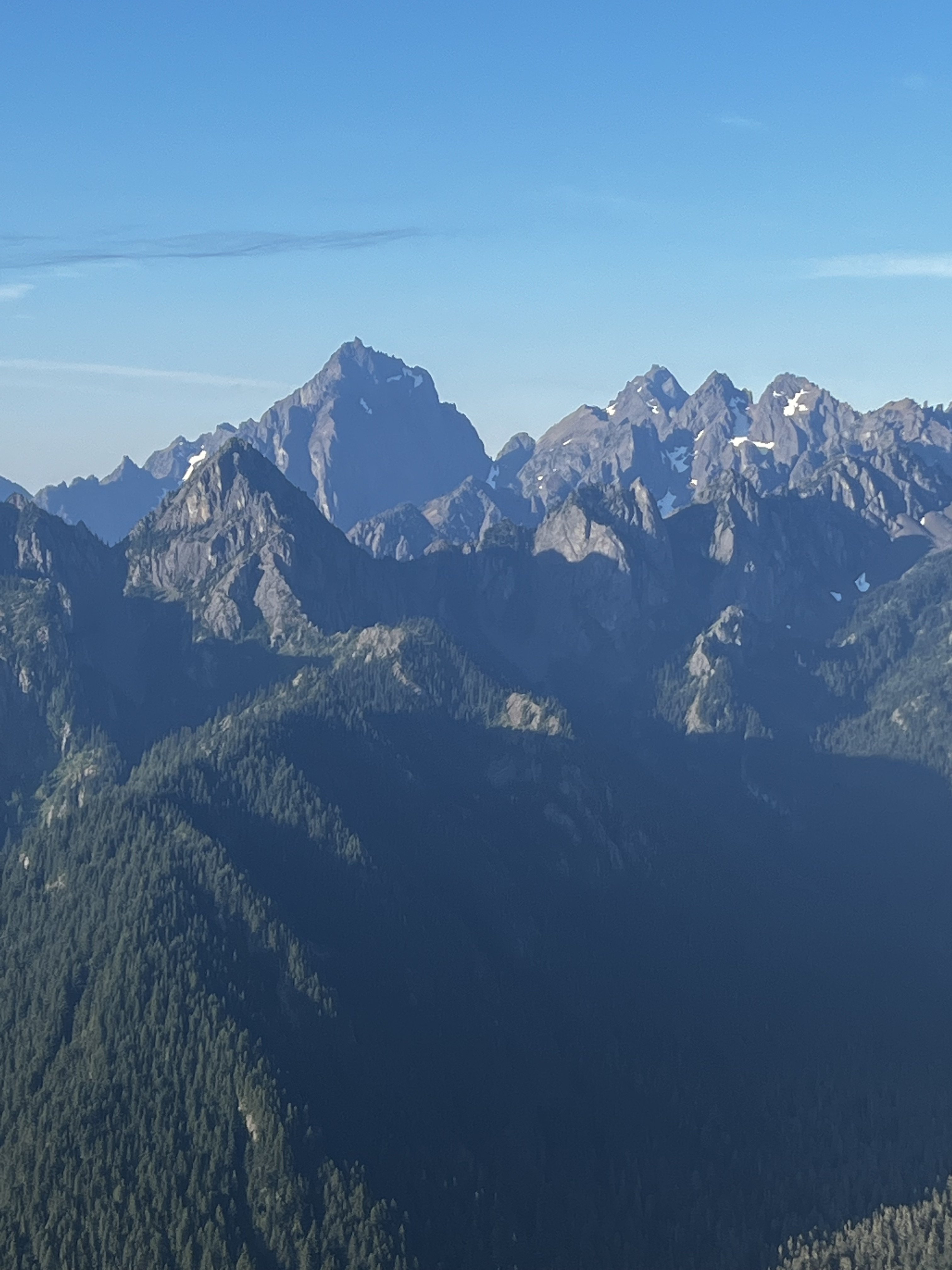
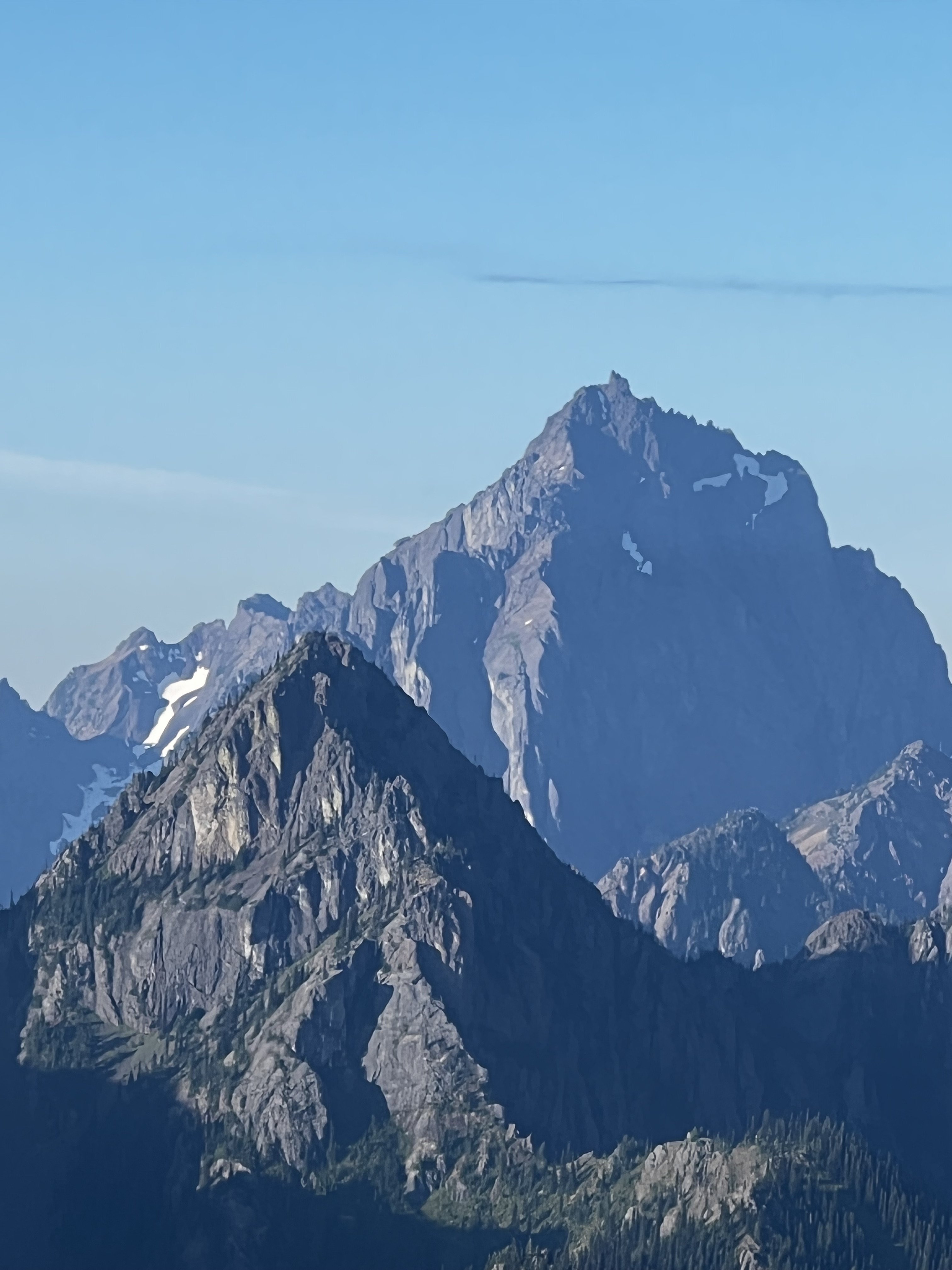
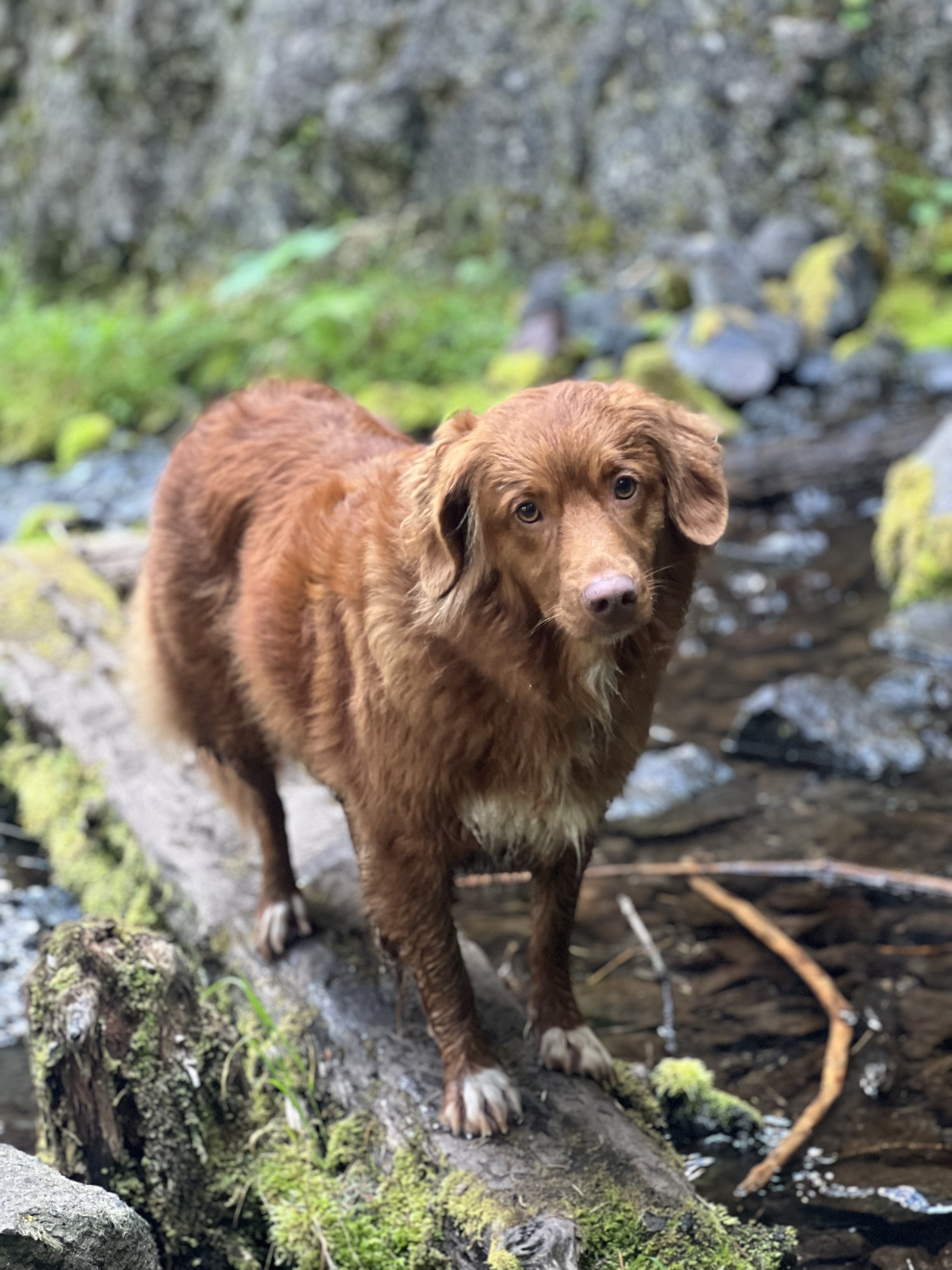
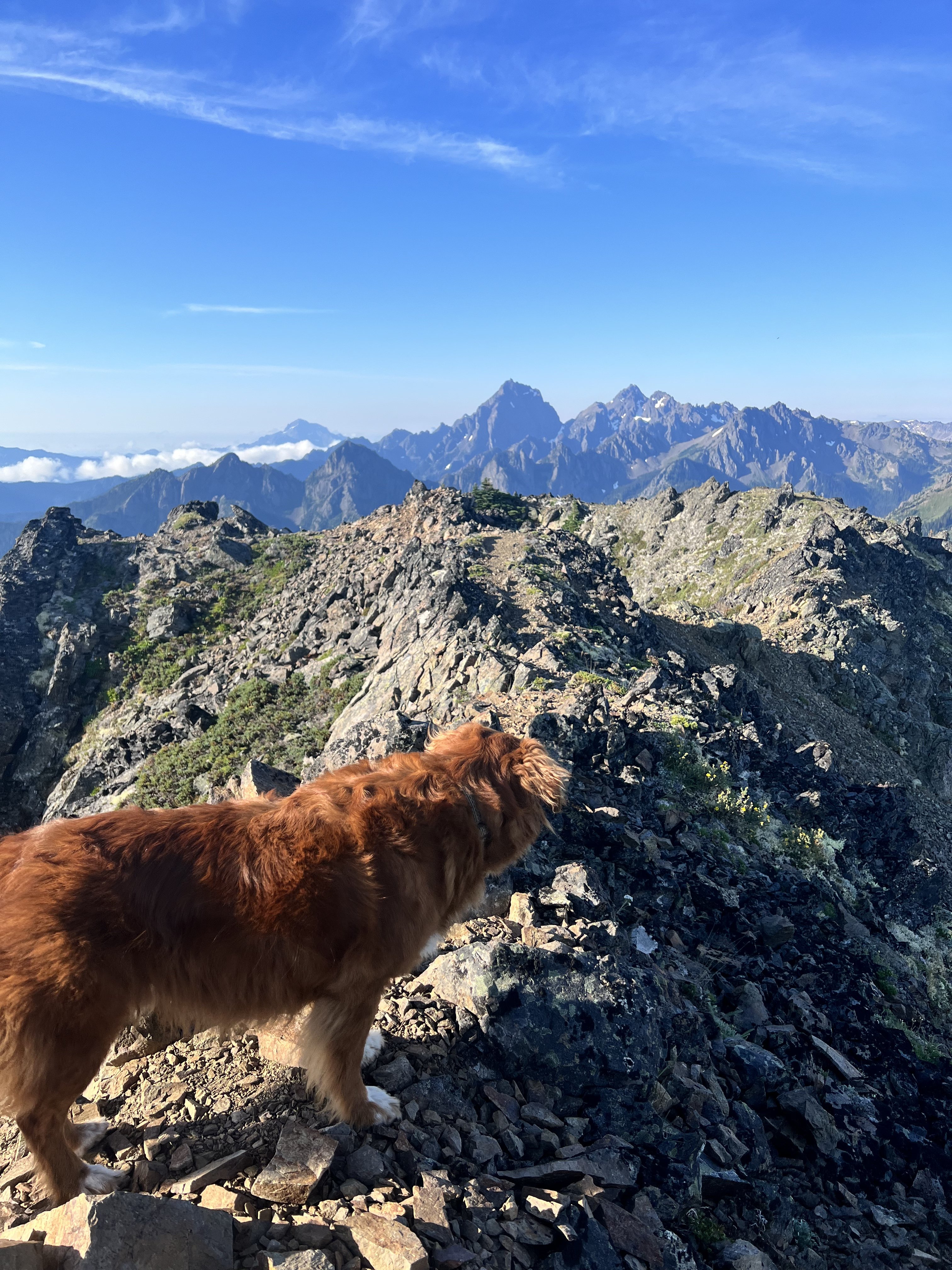
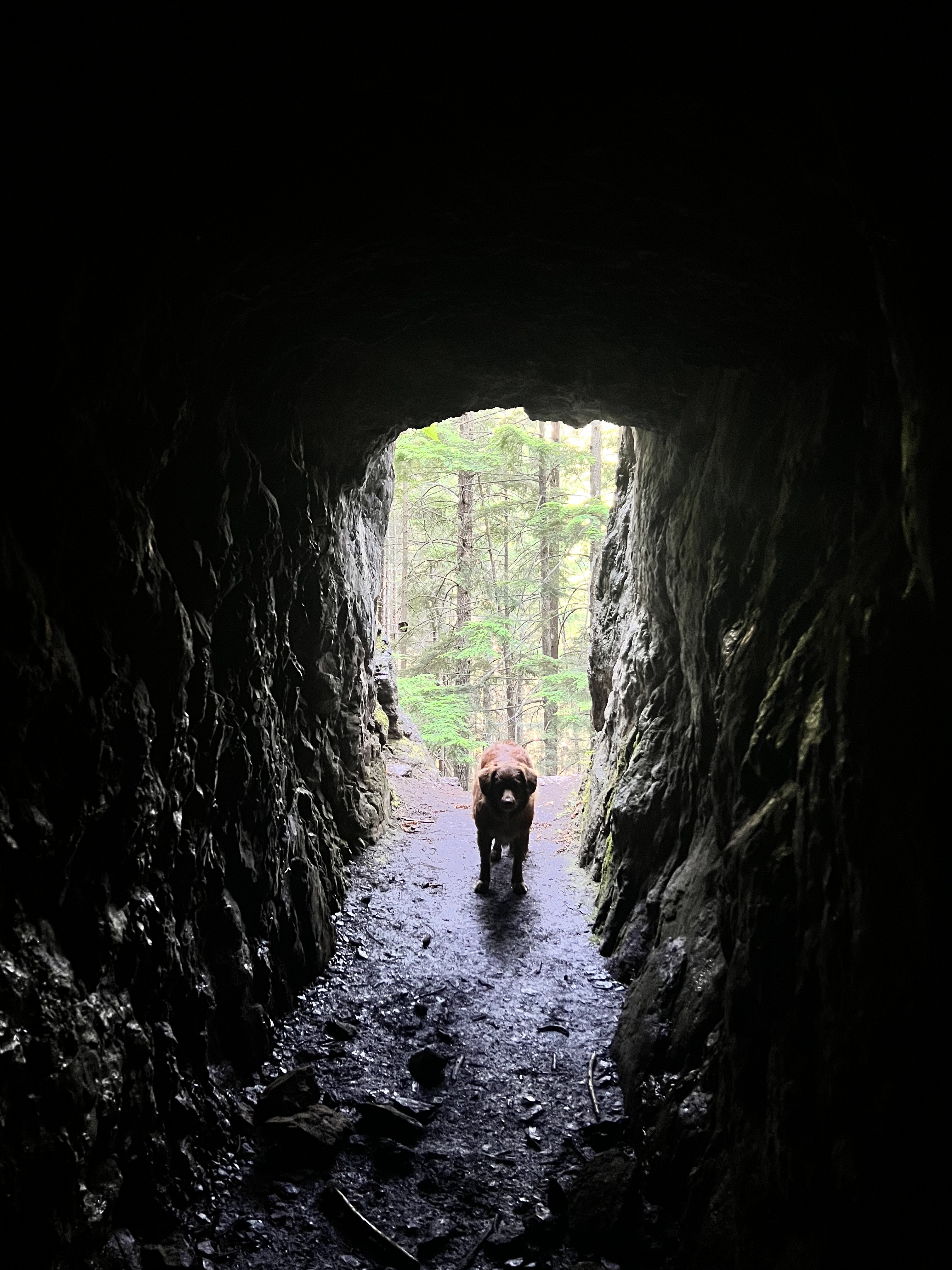
Trip: Welsh Peaks > Sillver Peak > Hawk Peak > Tull Canyon - traverse Trip Date: 08/20/2022 Trip Report: My climbing partner and I did this little traverse on Saturday morning. We camped at the Silver Creek trailhead, in a tent next to my truck. Every night, like Cato attacking Inspector Clouseau, my climbing partner tests my resolve. He waits till I'm most vulnerable and unsuspecting and attacks. I held him off again, this time in a little BD Firstliight. Later I saw a remarkable "shooting star"...a band of iight moving across the sky rapidly until it disappeared over the eastern horizon. I thought I had seen nothing like it before, but then I remember the Space Shuttle when it fell...it looked liked that, but just the one band of light. My climbing partner woke up at 3:30 and told me he was ready to go now and to stop fucking around, lets go. So I obliged and we got under way at 4am. We reached the summit of the taller Welsh peak right before sunrise and witnessed a glorious birth of a new day from there. Then we moved on our little high country traverse, following game trails and an occasional footprint, moving south, staying high on the ridge as possible. Eventually saw a couple down at Silver lake camped with their dog from our ridge vantage point. We continued on to Silver Lake Peak and then dropped down to the gap between that and the start of the ridge up Hawk Peak. There are several ways up Hawk peak, but we stayed on the south side as much as possible to soak up as much of the views of Constance, Warrior Peaks, the Brothers, Mt Anderson, Mt Jupiter, and others...truly a great vista. The Puget Sound below remained carpeted in clouds. We made our way up to Hawk Peak, which is an incredible vantage point. Then we left, but I forgot my trekking poles so we had to backtrack and go get them from the summit. We dropped down to the basin of Tull Canyon, which is very beautiful. Unfortunately you have to drop quite a ways before finding water, and not long after that we were at the plane wreck in Tull Canyon. You can read all about it here, a fascinating story. What I found most interesting is that only three of the crew died, listen to this account: We visited the wreck for a while and then continued down the trail to the Tubal Cain trail. We ran up to make sure the main mine was still open (it is!) Then we hiked down and out via the Tubal Cain trail, and then the mile back up to the truck. A fun 6.5 hours moving time/ 8.5 hours total. Milage was a little less than 15 miles (including back track to get trekking poles). We saw people first up by the plane wreck which appears to be growing in popularity like everything else....and there was a conga line going up Tubal Cain trail. Didn't go to the back of the main mine at Tubal Cain as my climbing partner wouldn't let me, but if you go up there do it...it's an adventure. photo dump: Gear Notes: trail running pack, trekking poles Approach Notes: drive to the end of the dungie road
-
[TR] The Tooth - Standard (South Face) 08/18/2022
olyclimber replied to Robin Schofield's topic in Alpine Lakes
Hell yes! Das Toof Wand! Been a while. Thanks for the info.


