Leaderboard
Popular Content
Showing content with the highest reputation on 09/10/24 in all areas
-
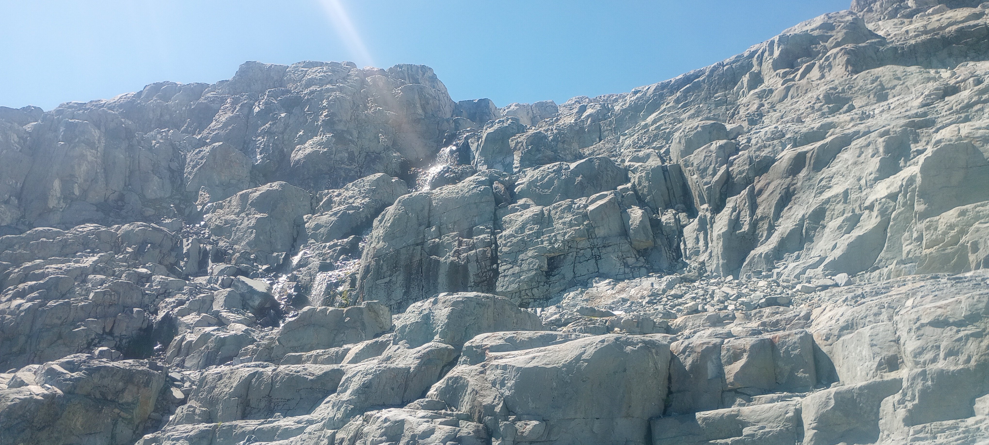
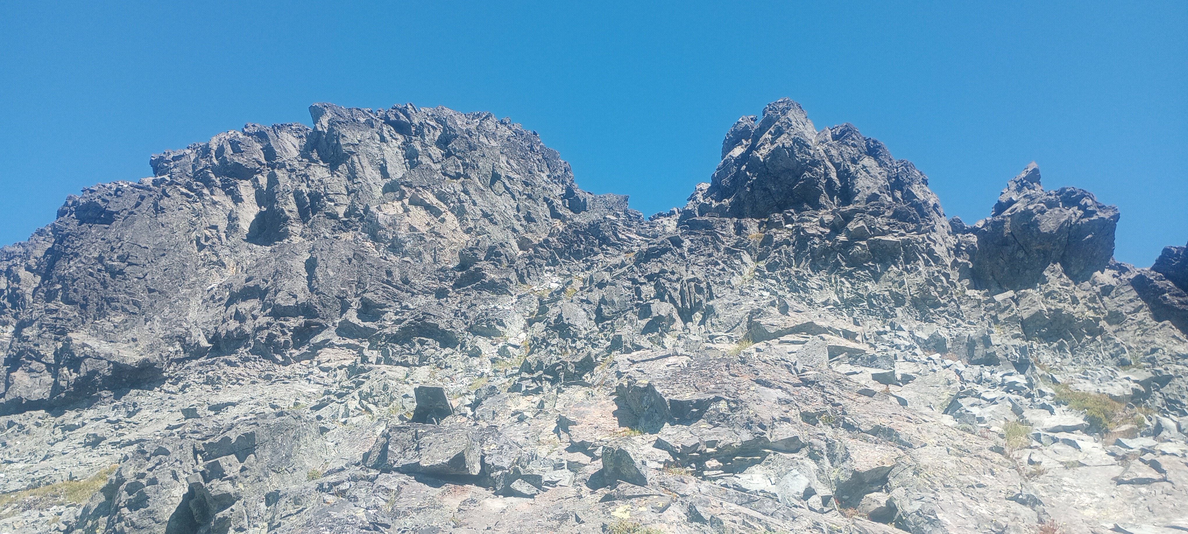
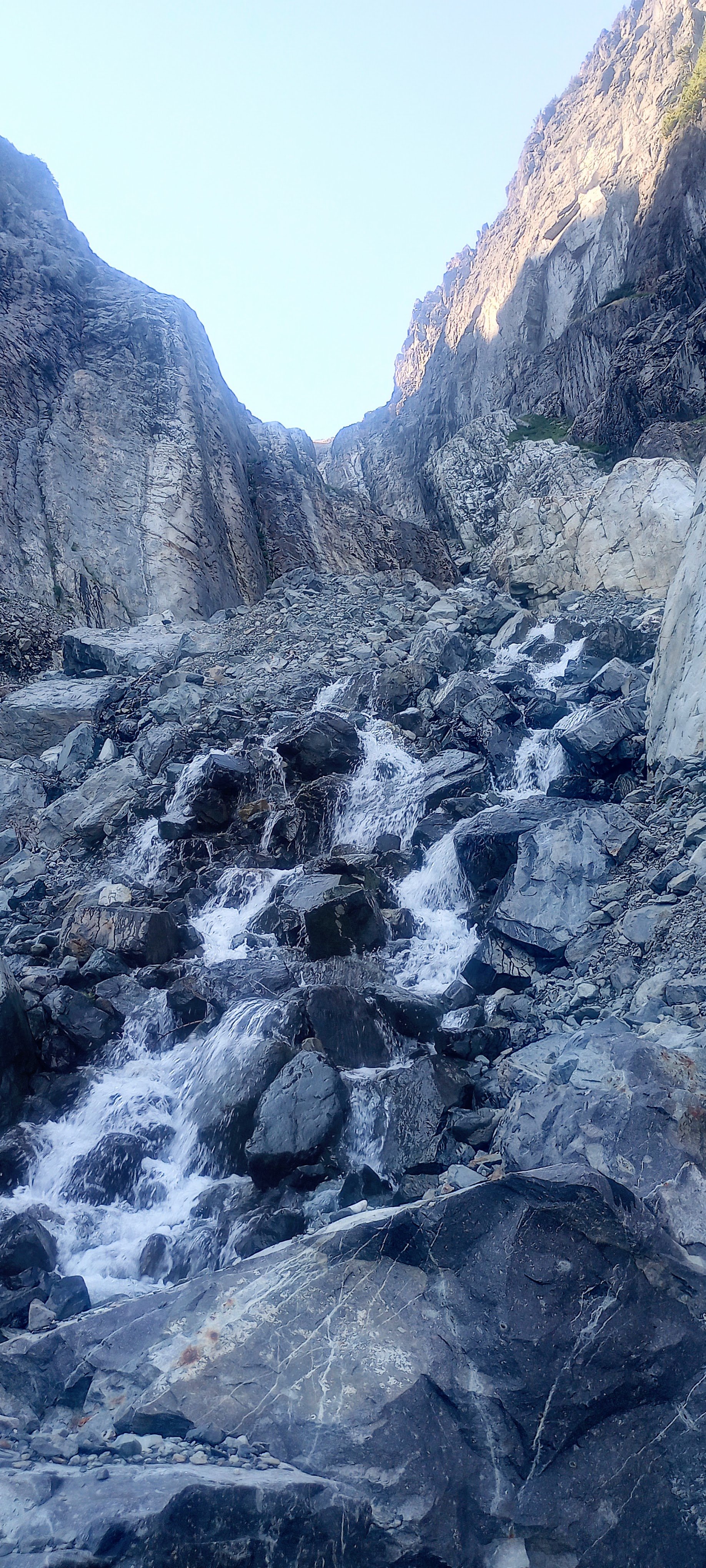
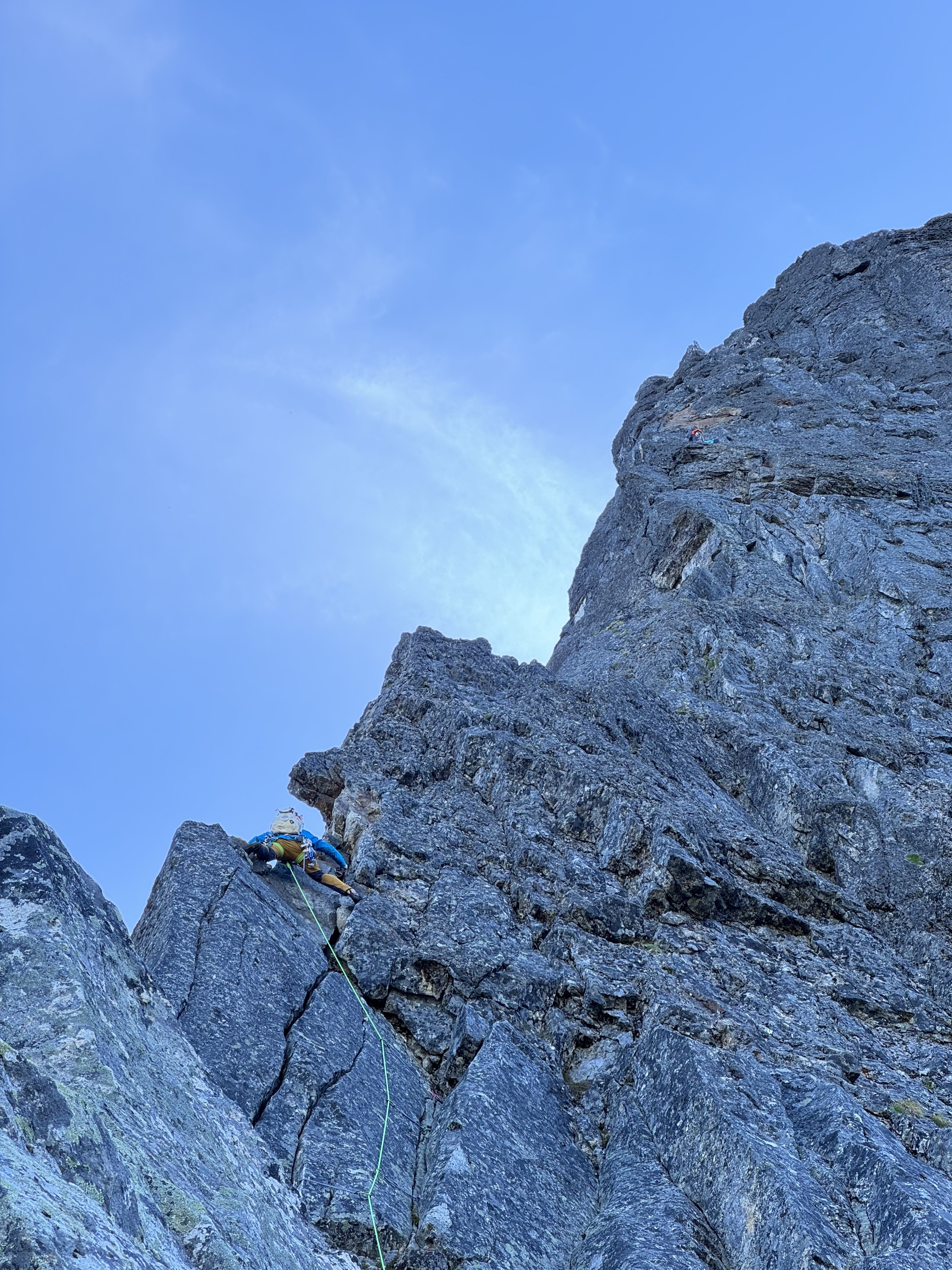
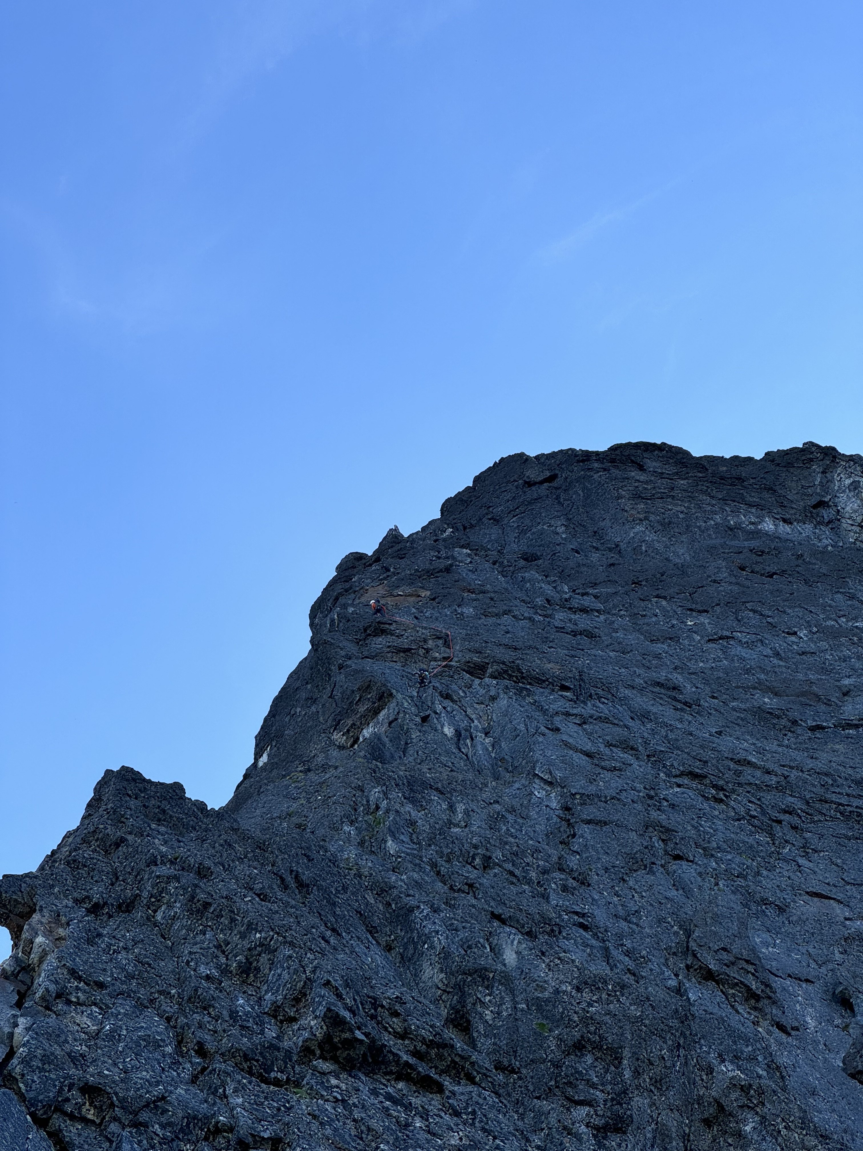
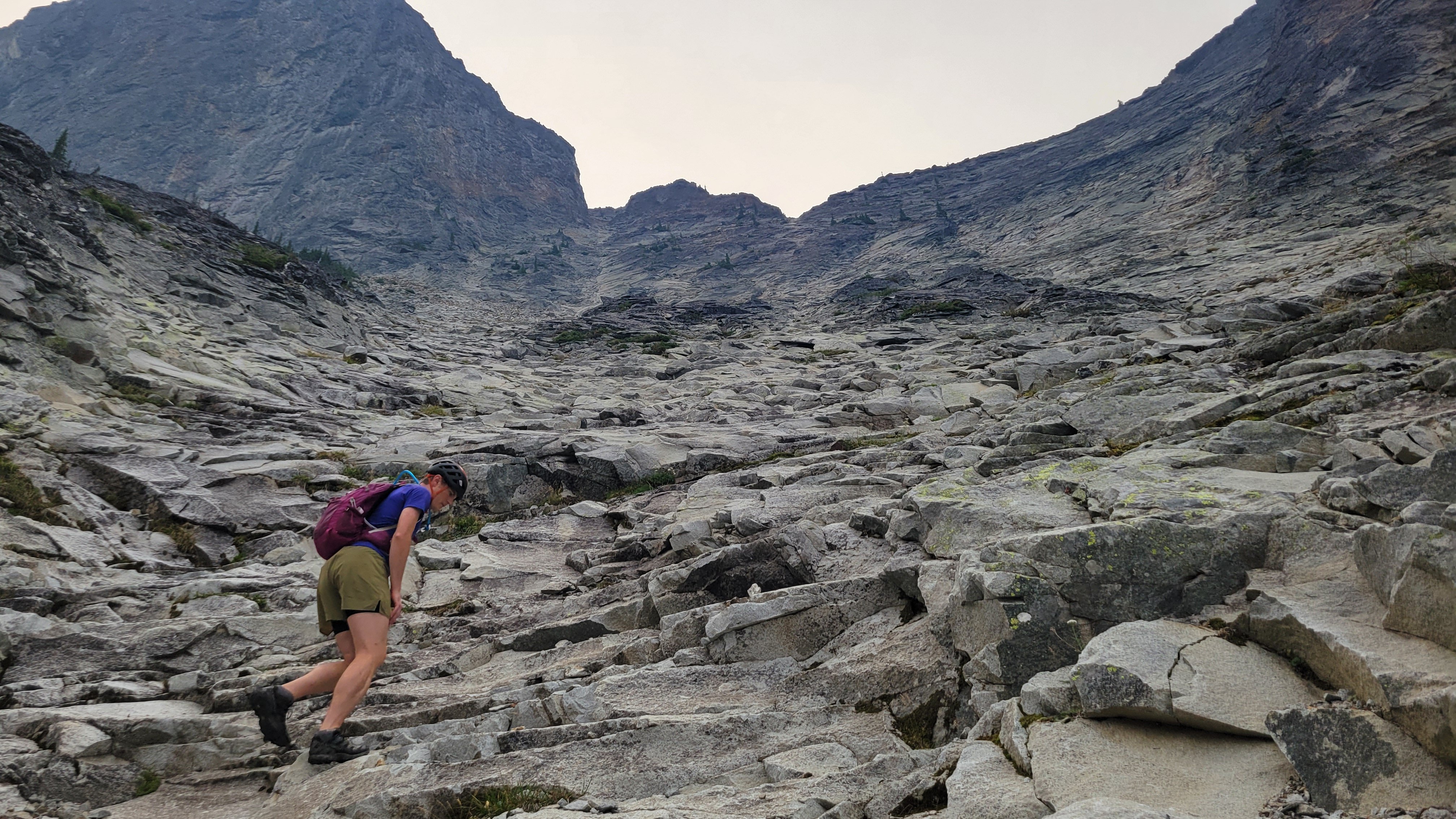
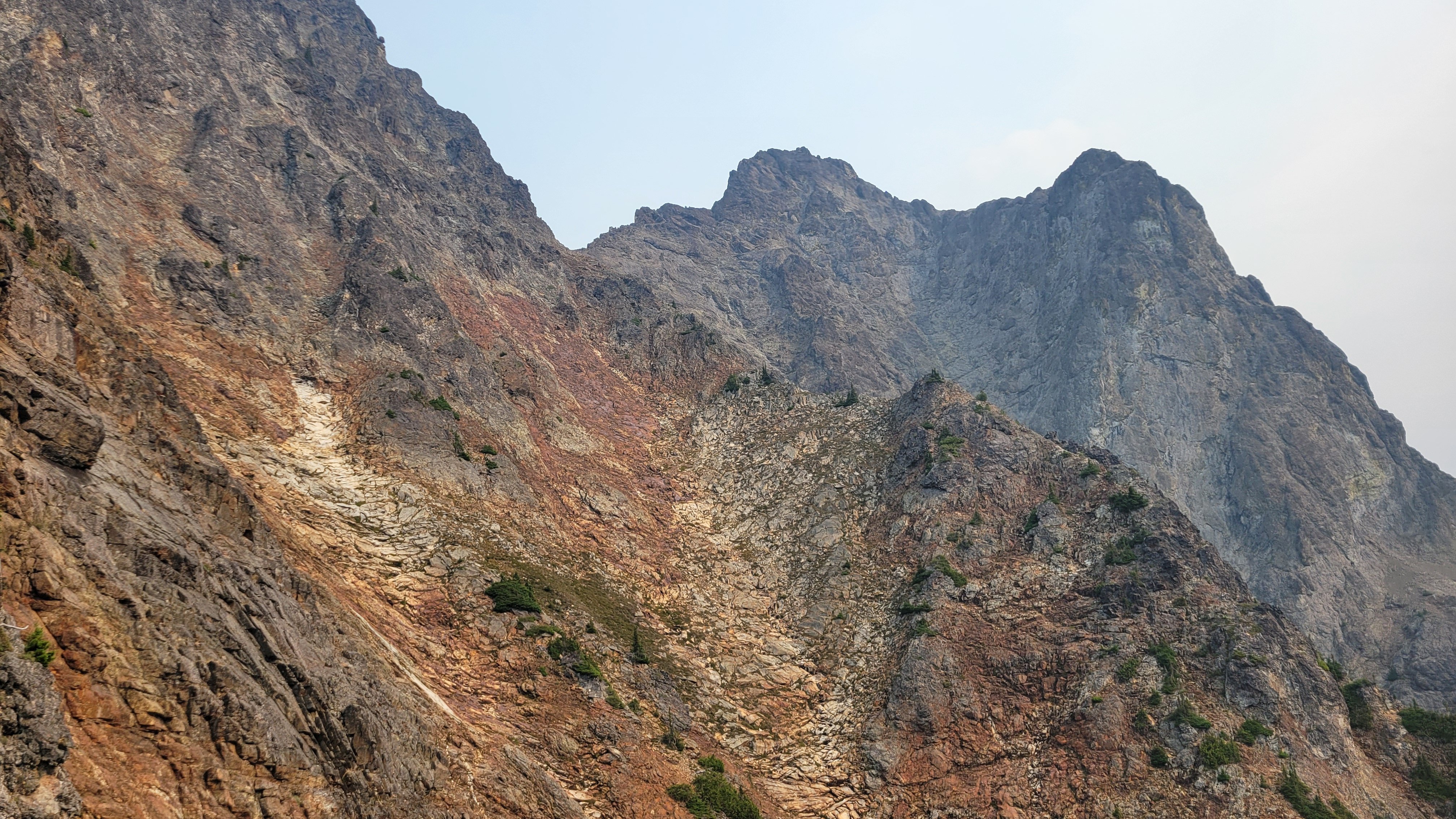
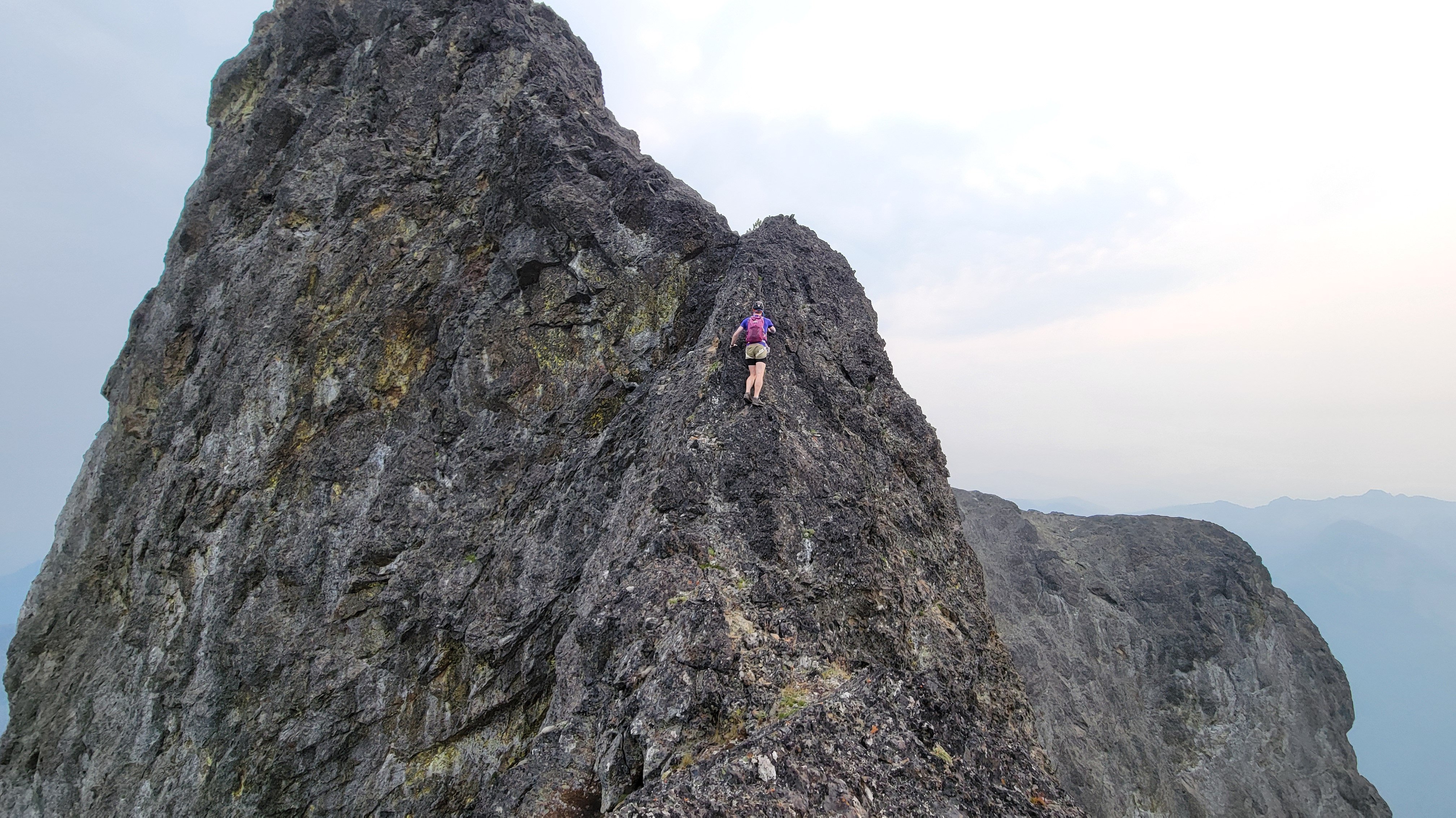
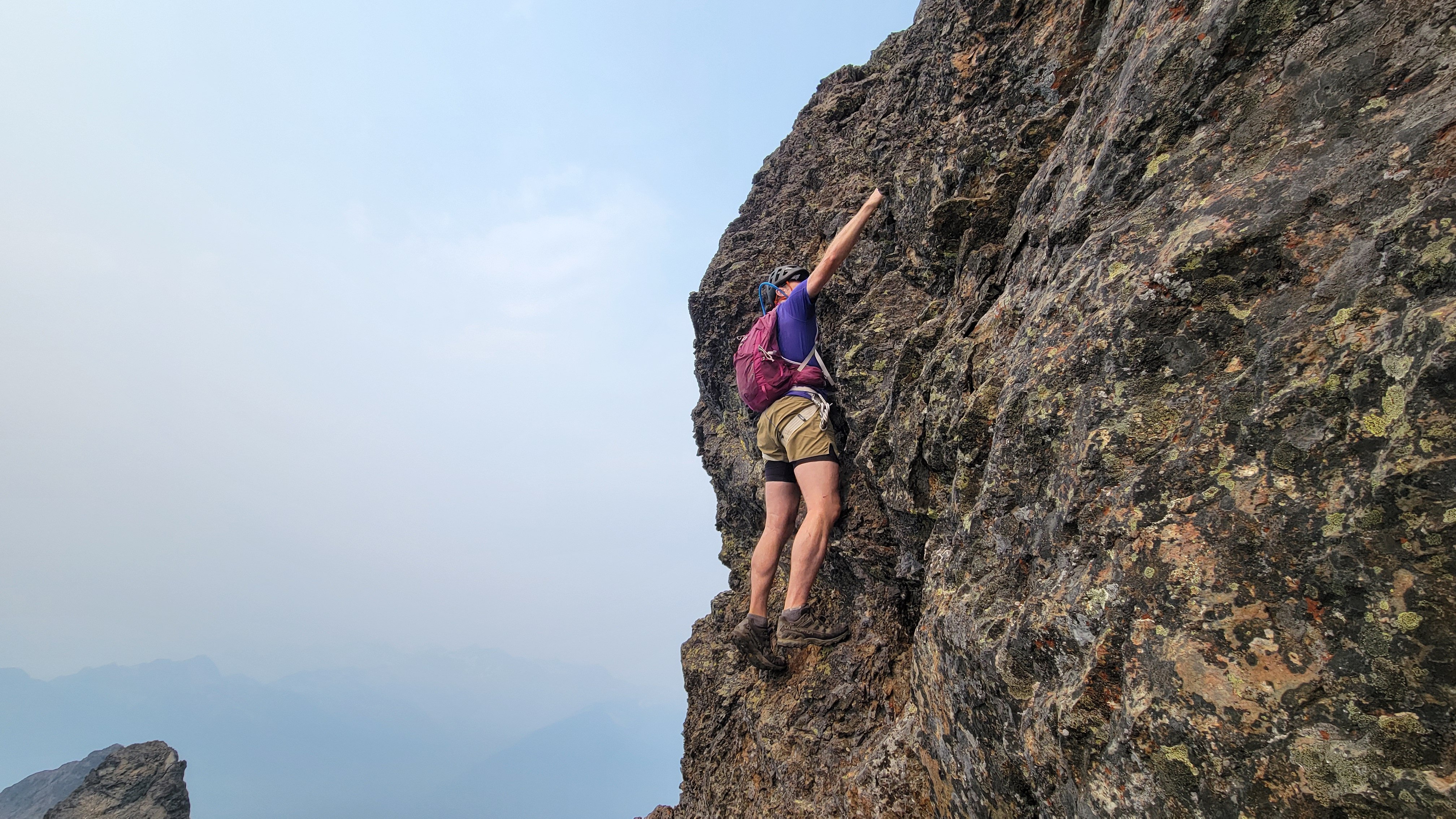
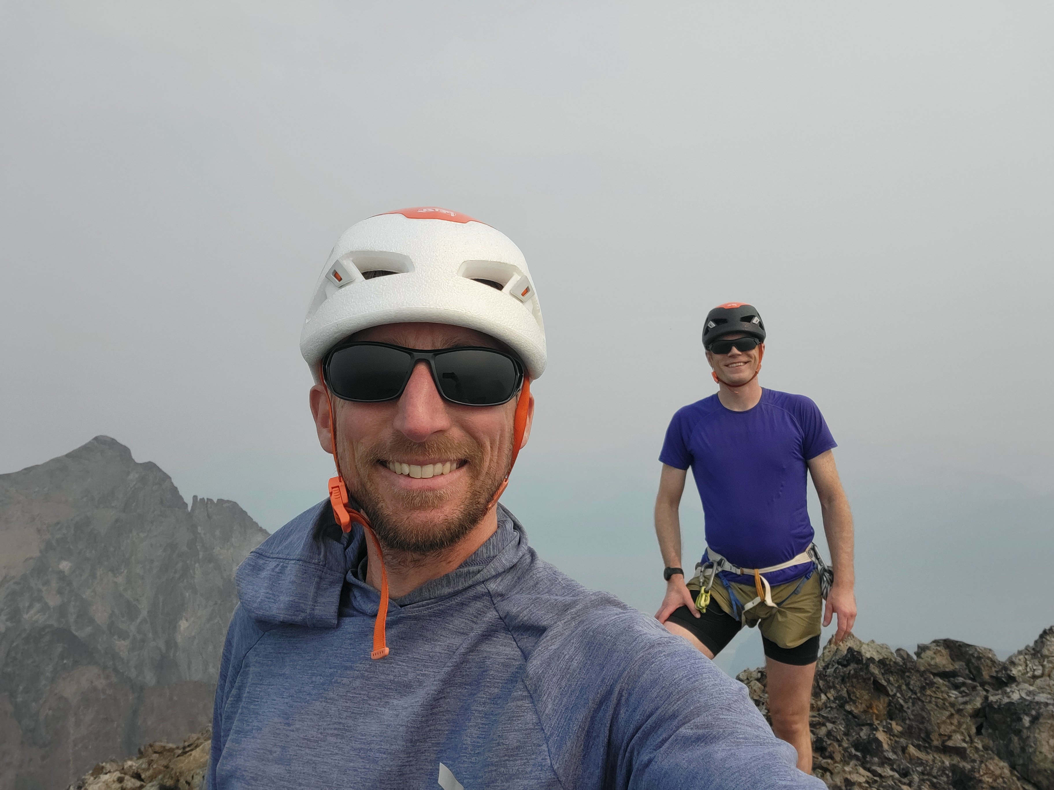
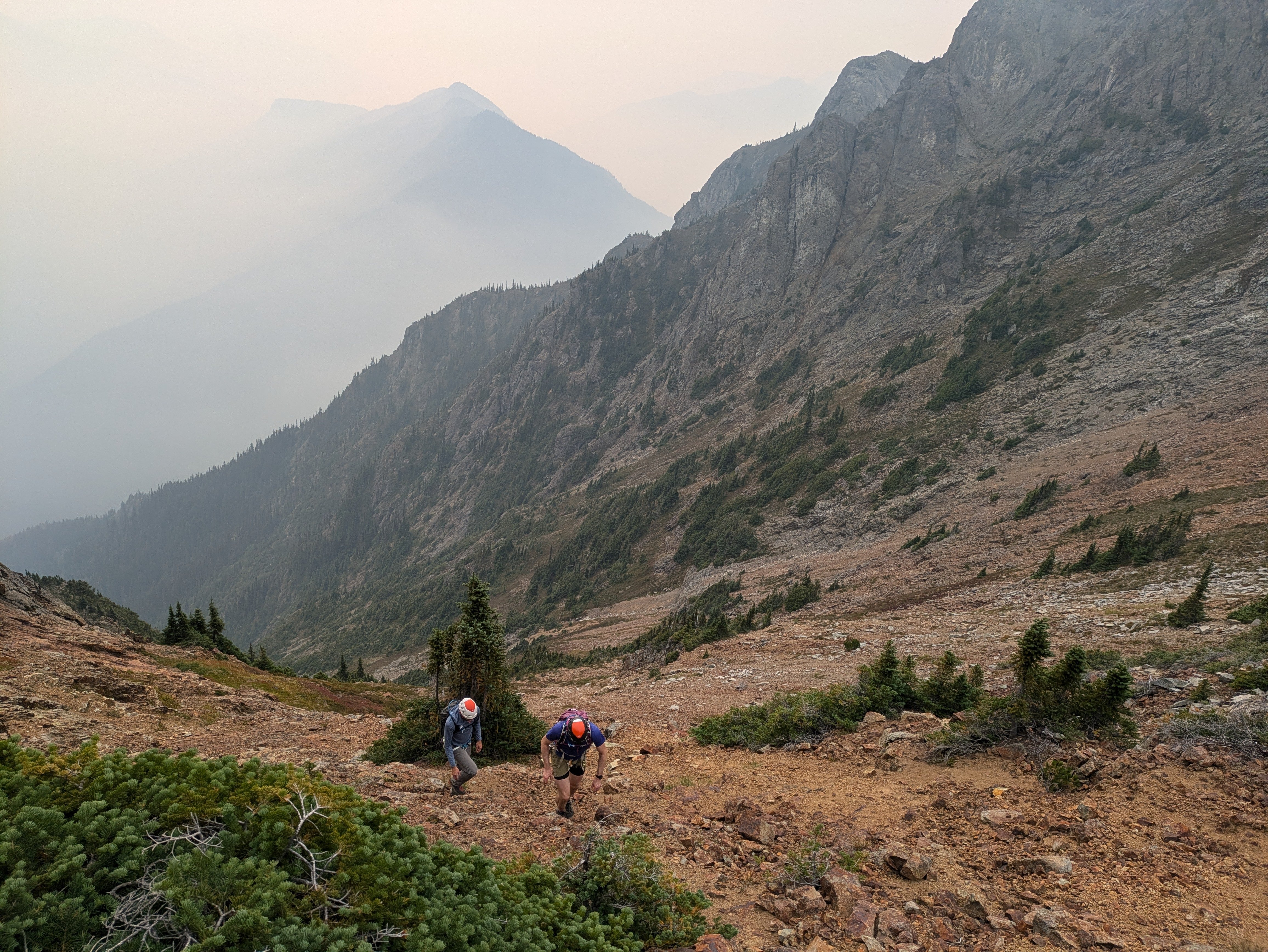
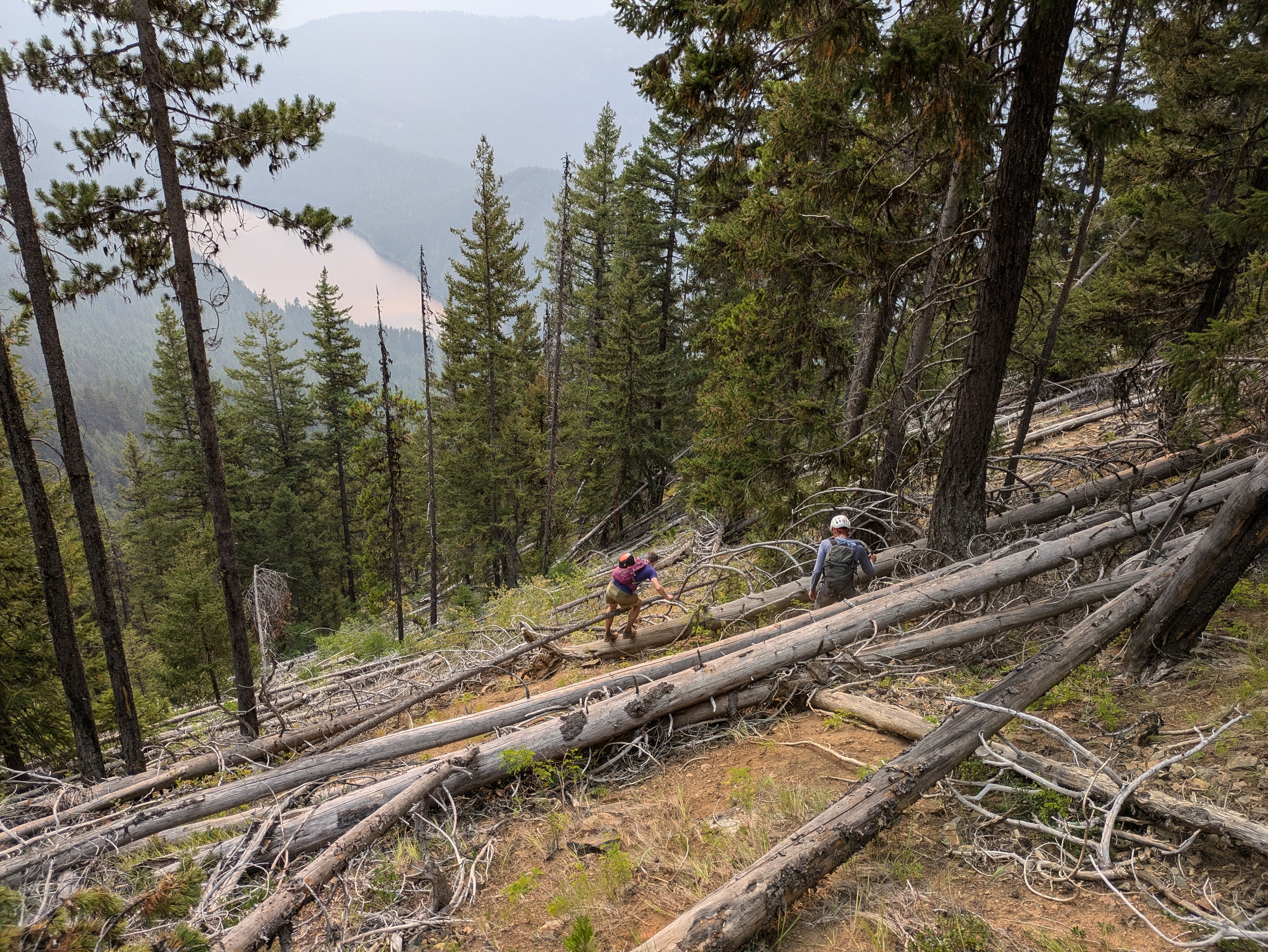
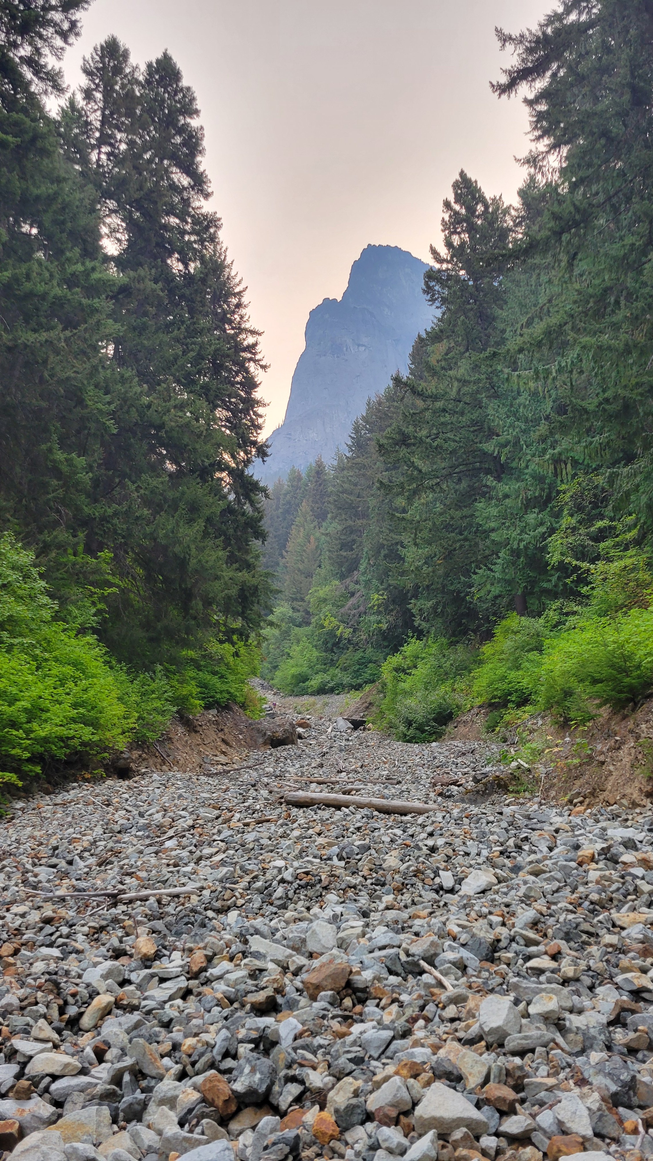
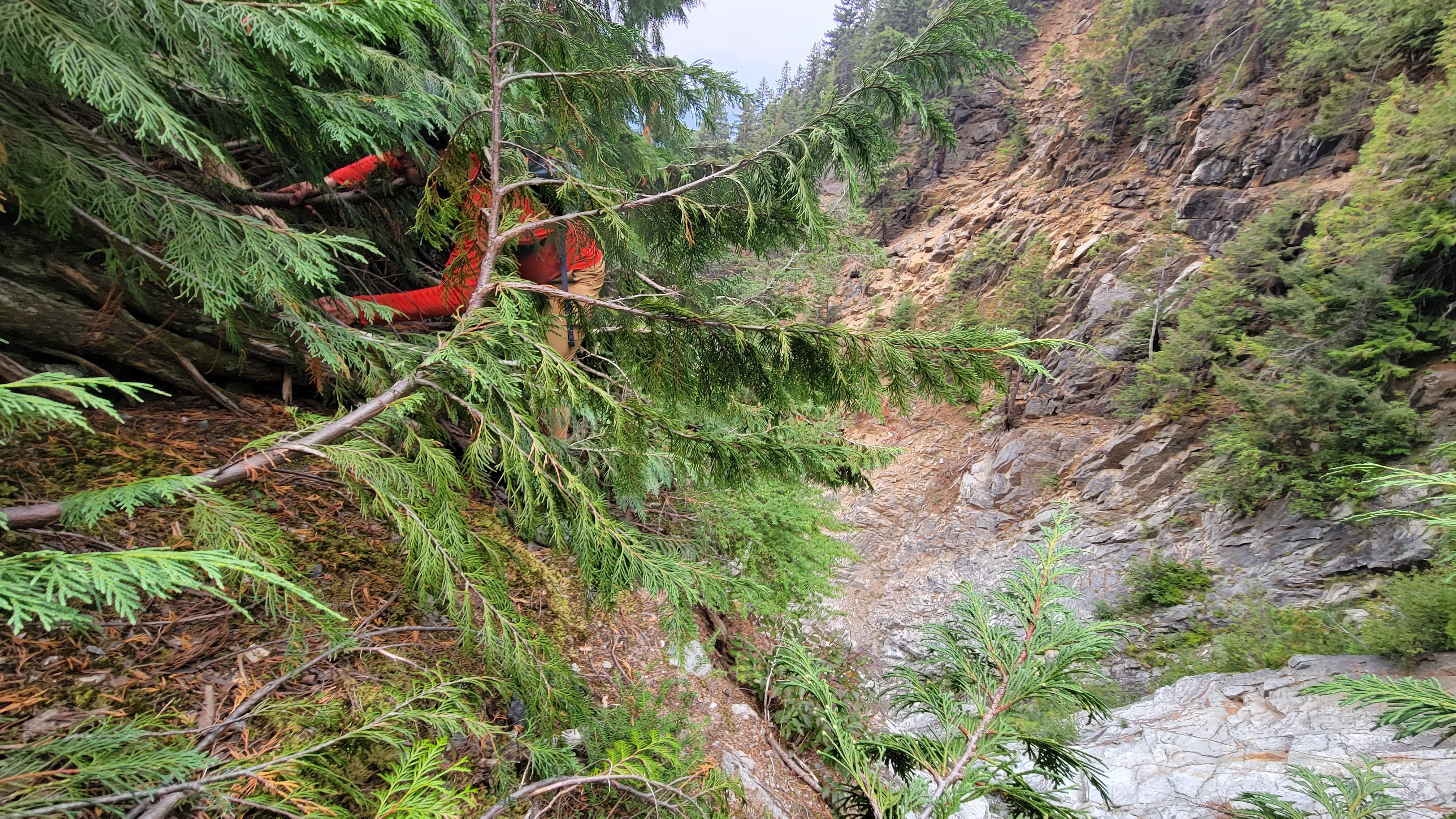
Trip: South Hozomeen Mountain - SW Route Trip Date: 09/08/2024 Trip Report: On Saturday September 7th, me, Mike, and @thedylan drove up to Canada and then darn near back into the US to go for South Hozomeen. We camped at the Skagit River Campground in the provincial park. The next morning we woke up at 4:00, drove a couple of hundred meters (that's what they use up there) to the international boundary and parked near the gate, the NPS implied on their website that it was totally fine to walk across the border, not that anything less would have stopped us. We walked around the gate and into a different country. The couple of miles (that's what we use around here) of trail were immaculate, the NPS has done some maintenance, all too quickly though we plunged off the trail and into the brush and deadfall of the low elevation valley bottom. GPS proved essential through here, particularly at night, but even in the daytime coming out. We hit the creek bottom that drains the cirque between South and Southwest Hozomeen as soon as we could, if only just for navigational purposes. The brush was pretty bad but it really wasn't that long, pretty quickly the creek bed opened up and it was easy boulder and occasional slab walking. 3000' ish: There were a few easy scramble steps and ample water available in the creek bed up until 4100' where we encountered a waterfall and an impasse. We did a gorilla scramble just climbers right of the waterfall and made it through, although it was ugly. Above that more easy walking and boulders and occasional short scrambles until you hit the beautiful slab walking at around 5800’ I think. 200 or 300 ft below the 6900 ft saddle the slab walking turns into scrambling but it wasn't too bad on the way up, we tried to follow beta that we had but I think it's pretty much follow your nose. Gorilla Scramble (Reminds me of J-Berg): Slab City: At the saddle our entreaties finally failed and Mike called it a day, he had been not on form for the last hour or two, although we were still moving pretty quickly. If you're just not feeling it this is definitely not the peak to push it on, so he made the right call. I think he was exhausted from riding his bike to the farmers market Saturday morning. Me and Dylan descended from the saddle, contoured left and crossed through two minor rib notches, then up the rib to the ridge crest at about 7,600’. From there it's basically straight up to the summit which is where it looks like. The route finding was quite straightforward… if there's a notch go through it. Everything since 6900’ looked intimidating and you wonder “how the heck are we going to do that?”, then you just start moving and it falls into place; we both had the same image of Indiana Jones and the Last Crusade when he does the leap of faith and walks along the easy bridge. It was kind of like that… but the bridge is class 4 here. Leap of Faith: There was some tricky exposed scrambling on the ridge crest but stuff was solid when you needed it. We soloed the obvious 12’ crux step and finished the scramble to the summit. Over the last couple of hours the smoke had really filled in so we were very glad to be done going uphill, there was no view at all so we just turned around and headed down. It was thrilling to be done but only in a very muted way, knowing that we had to descend for it to count. Classic Ridge Scramble Shot: Crux: Worth it for the Views: On the descent to the 6900’ saddle there was a whole lot of “how the heck am I going to do this?” But you just have to start and it all falls into place. I liked this route because there's no dinking around, there's not really any point in route finding or thinking about gear or anything since that's not possible (there is basically no pro anywhere on this whole mountain above 6900’). There aren't any features to the rock, it's just pillowy and jumbled, pretty much any line is as good as the next. We confirmed that you only need a 30 m rope to do the crux rappel. We made it without incident back to the saddle, then descended 100-200’ where me and Mike decided to rappel, Dylan down climbed of course. We did a 100’ rap through the worst of the scrambling down to boulders and slabs. Approaching Mike's Nap Spot: After cruising down the slabs and part of the gully we made a stupid decision (possibly my fault). We traversed skiers right out of the gully, across two minor gullies to the forested slope. For some reason we thought this would be more efficient than down scrambling all of the steps and then figuring out how to rappel the gorilla scramble. This was not true. If I were to do it again I would definitely chance the gully and just figure out a rap. I've been climbing in the Cascades for 15+ years and this was the worst forest slope I've ever descended. I don't know how it's possible but this had everything that sucks, lots of sharp pokey downed logs, loose rock, deep loose dirt, then lower, brush, but still lots of loose rocks somehow! Wtf!? Even Dylan admitted that it sucked! Pokey Logs, (there was a lot of this): Anyway, eventually we swore our way down the slope and back to the trail then cruised back to the car in Canada. We were extremely thrilled to be done, but the no-see-ums made it impossible to relax with a beer. Me and Dylan washed off in the Skagit River (the lake is too far away), then we made the 2.5 hour drive home to Bellingham. I think if you could take the gully all the way back down to where it fades into the forest slope the descent could end up being okay, then this climb would be not too bad. The way we did it I will definitely never go back. @Albuquerque Fred has done this three times! What's with that guy!? This was certainly a very challenging peak, but I would say most of the overall difficulty is just getting to the high country, from the 6900’ saddle up it is one of the easier difficult 10 peaks, but overall it definitely deserves to be on the list! Gear Notes: 2x 30m rope (only 1 necessary for the crux), helmets, approach shoes. Approach Notes: Canada, US. Easy trail, then brush. I recommend hitting the gully ASAP and go up.6 points
-
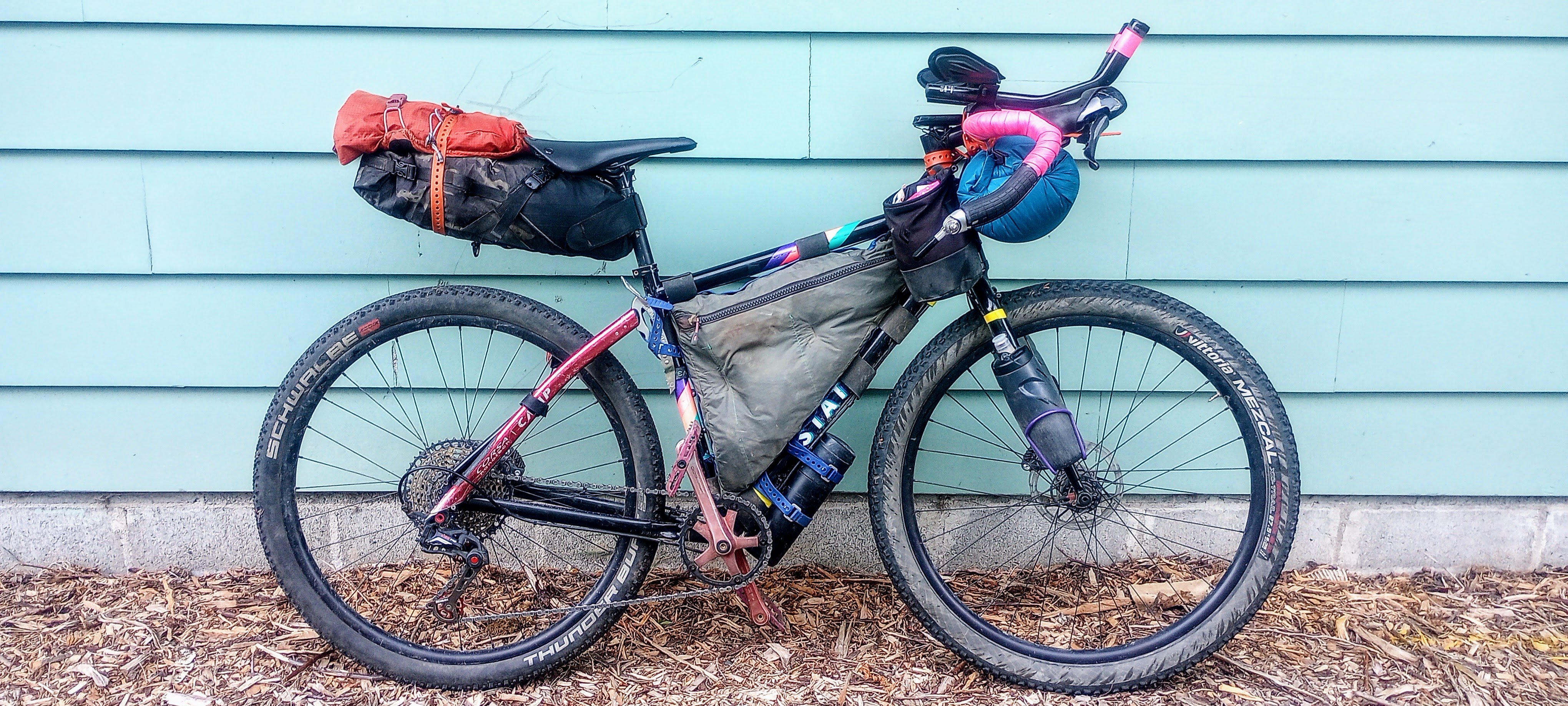
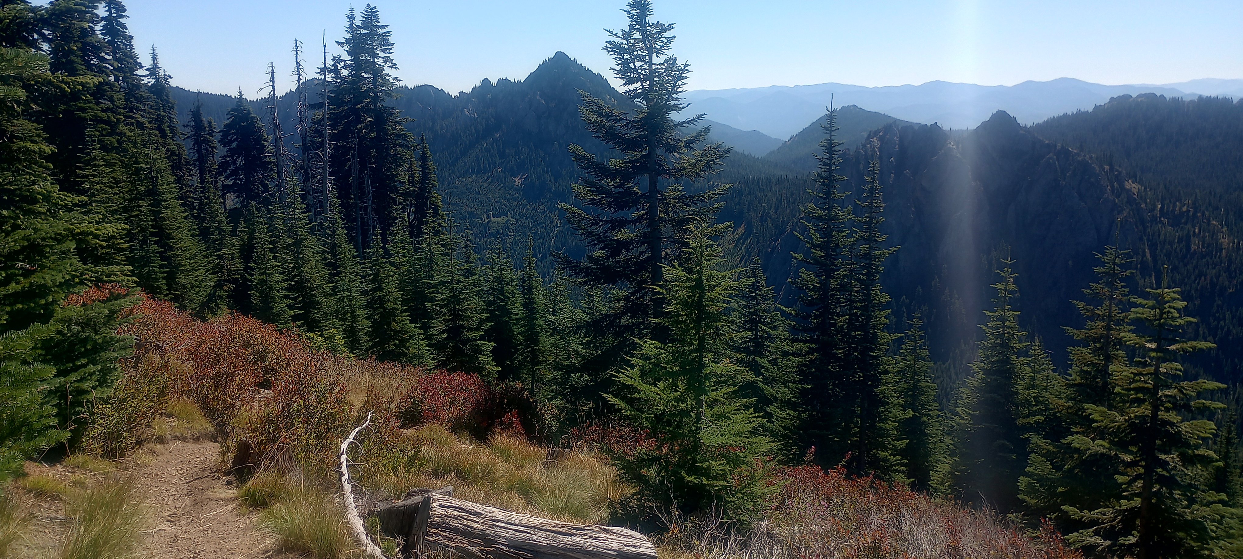
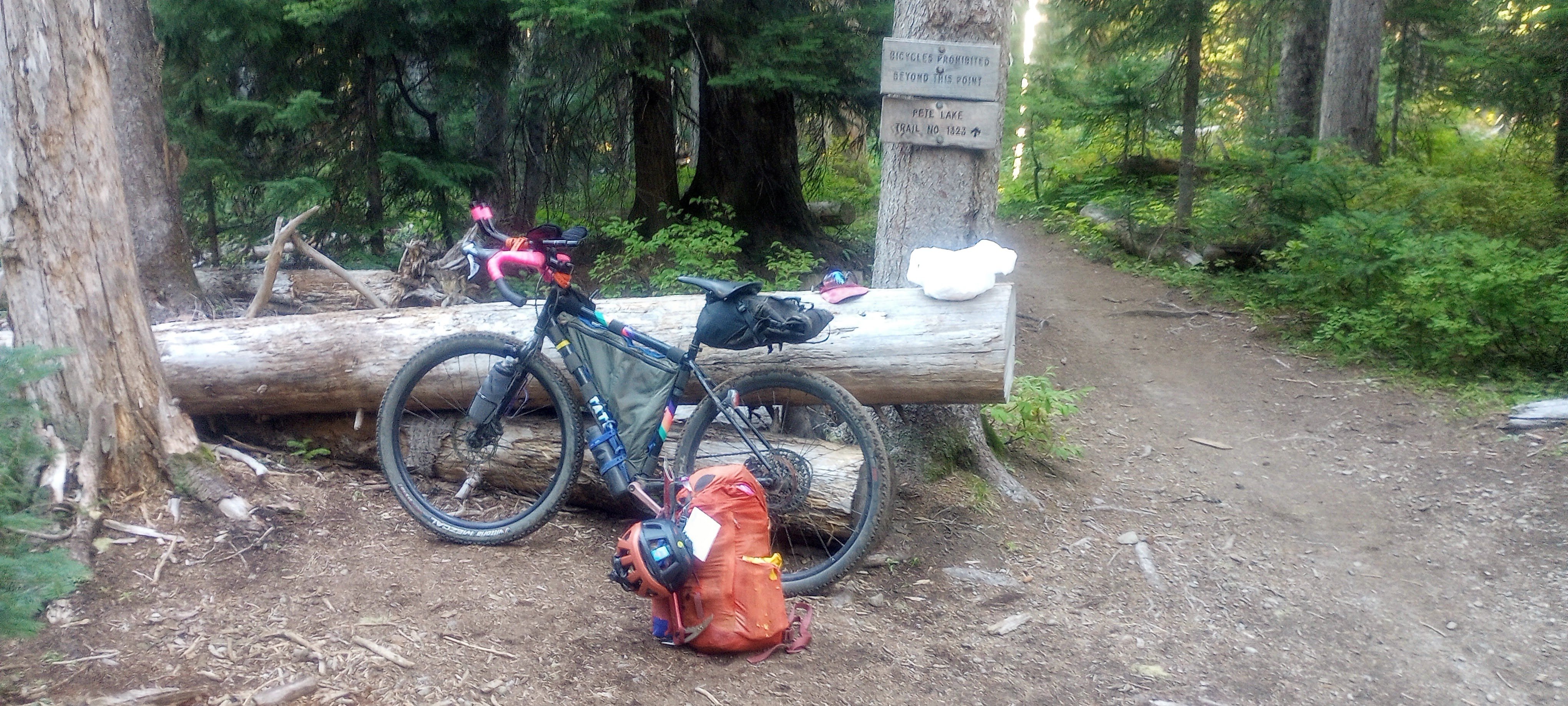
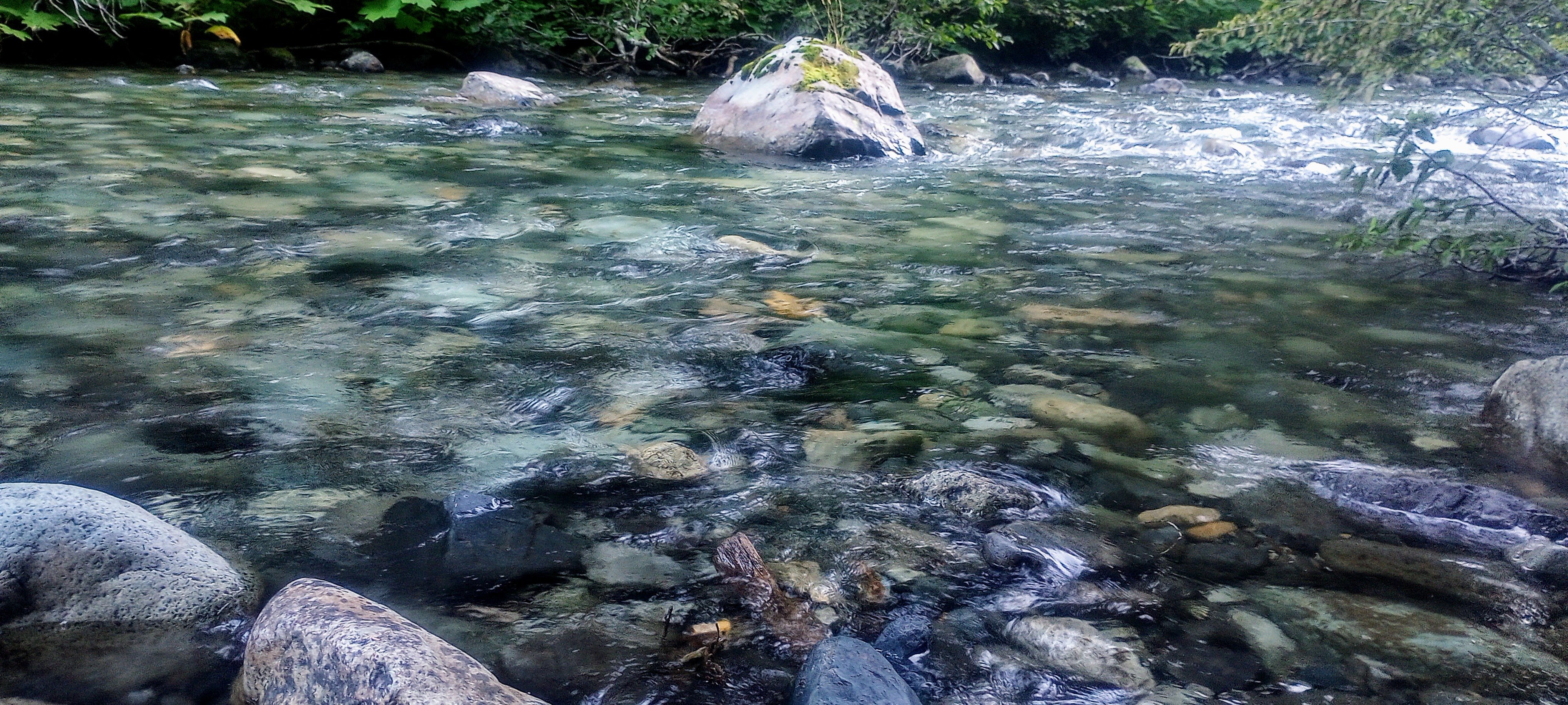
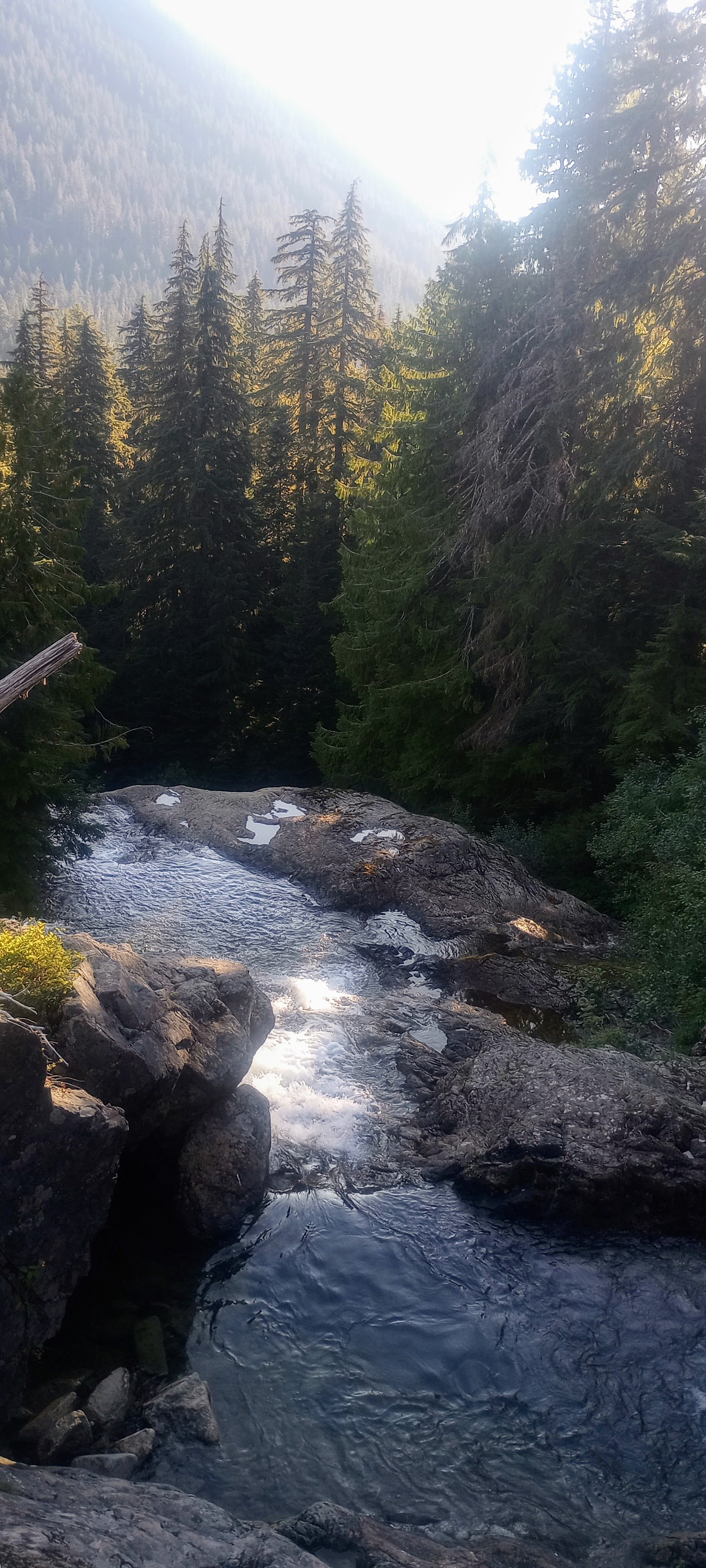
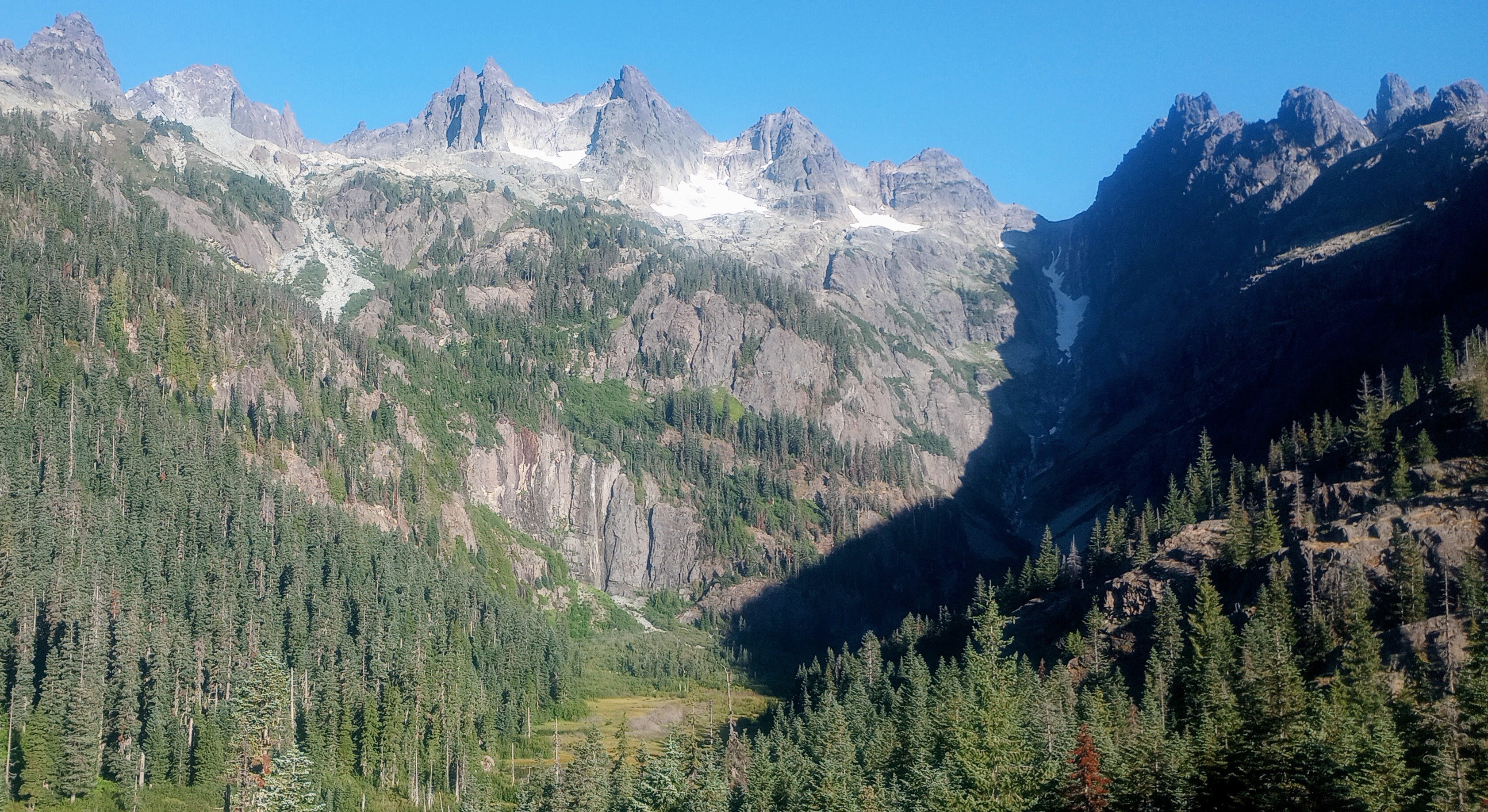
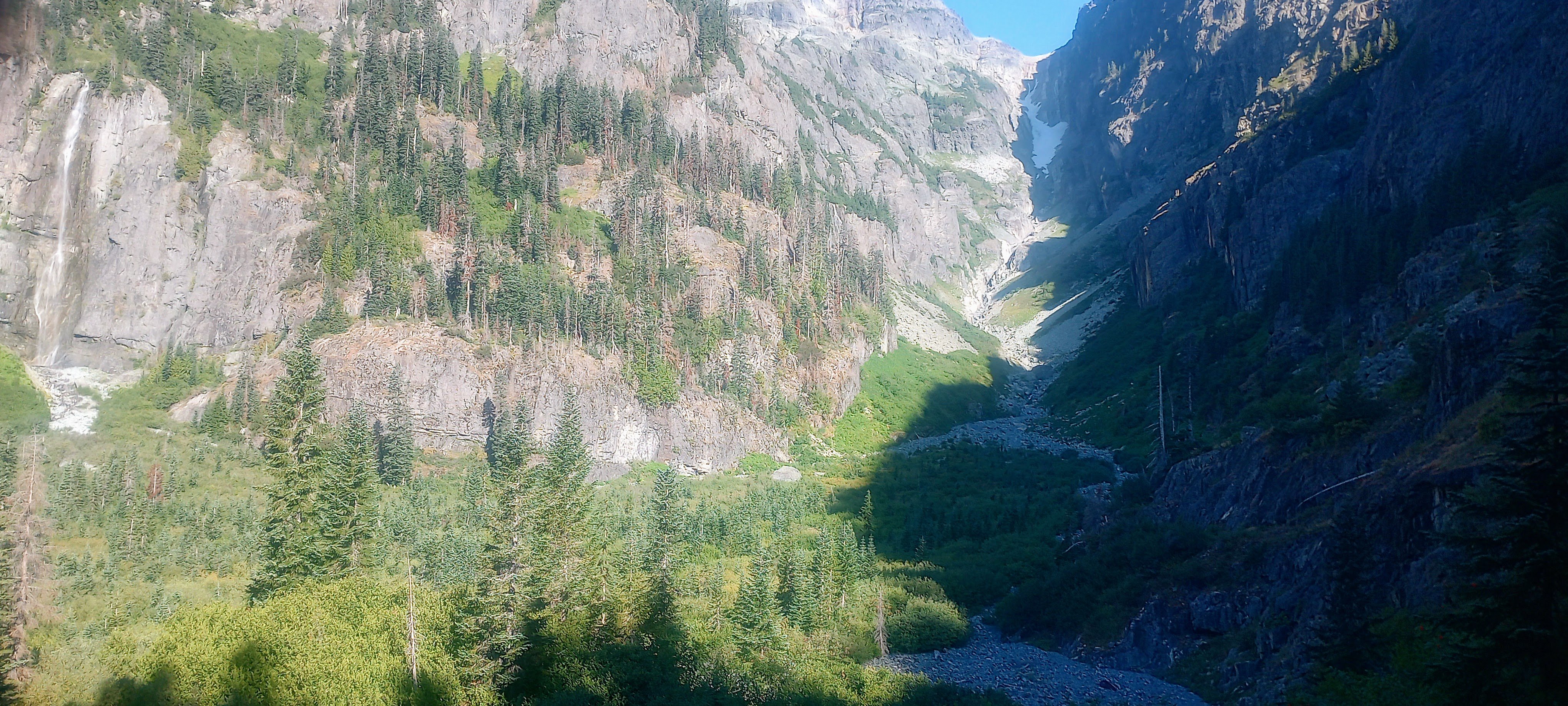
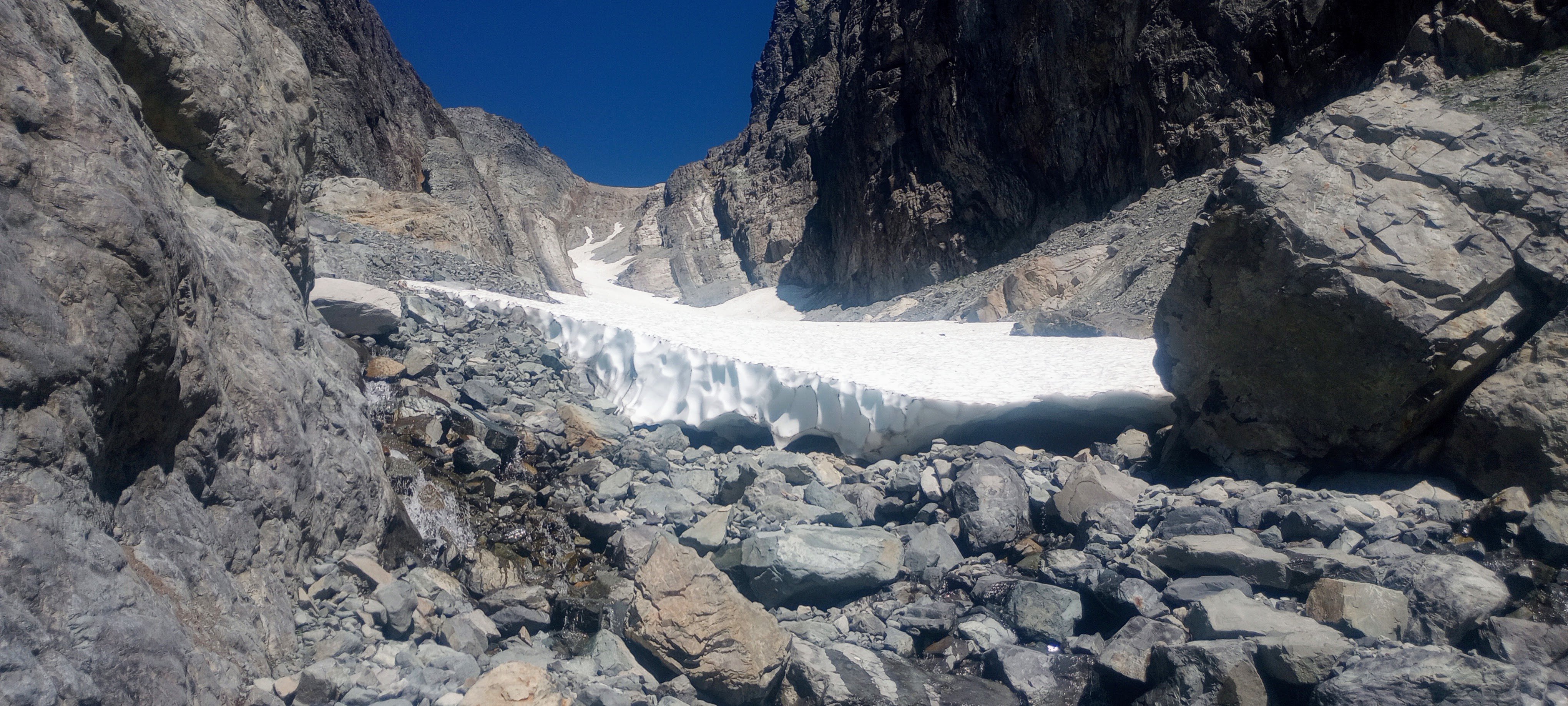
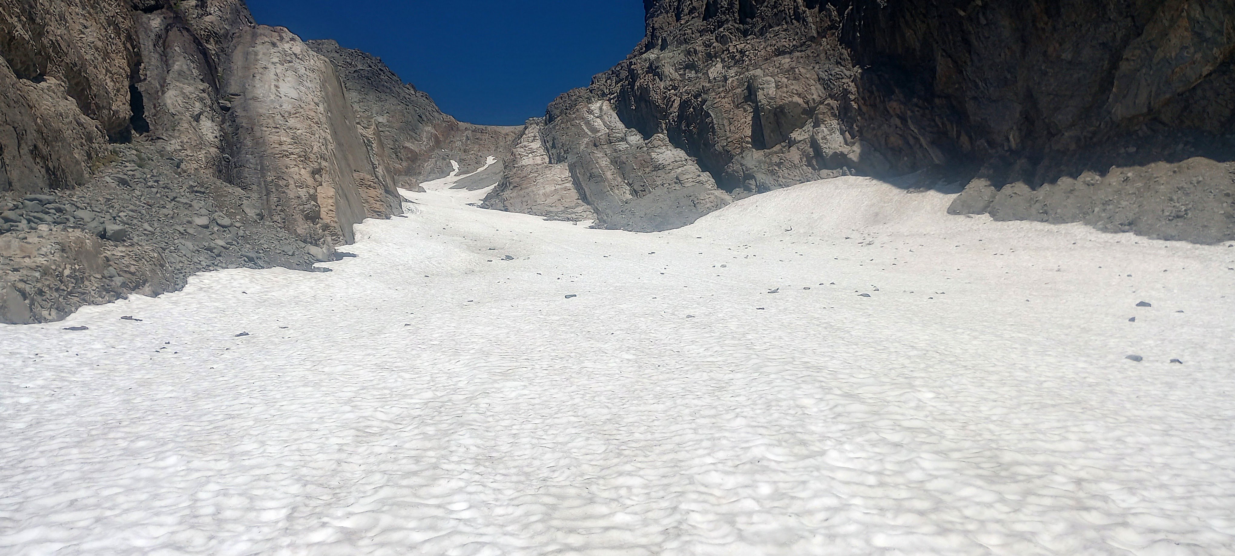
Trip: Lemah Mountain - via Pete Lake (3rd class) (bike approach) Trip Date: 08/31/2024 Trip Report: I used my five-day Labor Day weekend to bike from my house out past the Pete Lake trailhead to climb Lemah and bike home. I really dislike sitting in traffic, and I like riding my bike, so it made a lot of sense! This was a soul-fulfilling trip with lots of time and space to think, not think, observe, and move across the state and up to the top of a really awesome peak! I won’t bore everyone with ALL the bike details, but here’s my VCB (very capable bike) before leaving home. Ready for adventuring! Day 1 - 9:30am - 3:30pm: ~60 miles by bike. Home to Carter Creek camp on the Palouse to Cascades/John Wayne/Iron Horse trail. Started eating a lot of snacks! Talked with fellow bikepacker Craig from Chinook Pass at camp, he looked at my bike and asked what the ice axe was for. He told me about going into the Stuart Range 30+ years ago, “You could camp ANYWHERE back then!” No going back to those days… Day 2 - 6:45am - 7:30pm: ~55 miles by/with bike, ~2.5 miles on foot. Woke up to my brain singing something I hadn’t heard in probably like 25 years: “Are you ready for some FOOTBALL?” – weird stuff! Soon I was pedaling along the trail singing something like, "Heyyyy wild kitties, today's not the day, leave me alone, I don't wanna play.” Stopped when a Douglas squirrel was harassing me from the side of the trail (a common thread throughout the days) and watched it turn a pinecone over and over in its little hands, gnawing and letting the scales fall away, eating the nuts, then discarding the little corn cob. Amazing! Through the Snoqualmie Pass tunnel, turned north in Easton. Had an unexpected cortado at an espresso stand and resupplied at the gas station, then started up the road leading to (kinda chunky, kinda sustained steep, grindy grindy) forest service road. Finally, doing some real elevation gain! Left some mountain bikers in the dust after asking if I could join their bike gang for the climb. Sorry guys! But then I got to the 2.5 miles of black diamond MTB territory heading north. How do people bike up stuff this steep, and narrow?! I hiked my heavy-ass bike about 97% of this, both uphill and downhill. I knew it would be a lot of HAB for this section, but it was steep and dusty and narrow, full value HAB! Happily, there always seemed to be tons of giant delicious shiny mountain huckleberries whenever I really needed the morale boost. After that, things got a little better with four miles on No Name Ridge which is supposedly a blue square trail – maybe old skool, sandbagged blue square? I liked this Trailforks report: “Do you like pushing your bike uphill, nearly, seemingly, endlessly? Then this is the ride for you!” Definitely rode more than 3% of this section, but still – a good amount of HAB. However! Most of this was on the ridge, so stellar views abound! Lemah, Chimney Rock and Overcoat, The Chiefs, Bears Breast, Hinman, Daniel, and Cathedral Rock! (Stu, too, but out of the frame.) And there were actually some really good flowy sections with nice trail. Stopped and watched/listened to a couple of grouse (maybe mom and one juvenile?) traveling along talking to each other. After what felt like a very long time, I reached the end of the climb and the gravel descent down to Cooper River was AWESOME, smooth and fast. Soon I was at the Pete Lake trailhead filling out my little ALW permit and continuing onward on my bike! You can go about 2.5 miles until the ALW boundary where I made the transition to backpacking mode and stashed my bike in the woods. From there I quickly made my way to Pete Lake (about 2 more miles) and found a truly stellar somewhat secret campsite and settled in for the night. Day 3 - 6:30am - 7:45pm: ~13 miles on foot. Lemah! This was an interesting route that included a lot of slab walking, waterfall slabs, tarns and amazing views everywhere. Beautiful start when you start on the climbers’ trail, next to waterfalls and pools of Lemah Creek. I had to do a little extra gain to get this photo, but you can see the route -- along the right side of the marshy area, up the gully, up most of the snow finger, then traverse across, below the second ridge-toe, then the scramble up to ridgeline, along the ridge, and then up the main summit! Whinnimic Falls on the left: The B2 schwack was not that fun, but could have been worse. The gully was Not Fun. It's a cool canyon, memorable feature, but so much churned up, unsettled rock and sand and all the rest. Going earlier in the season seems like a smart and fun snow climb (bring the skis). I took the snow finger up to around 6100’ and then crossed a few some other snowfields (but could have stayed off if I wanted). I was really happy that there were no real issues with the snow – no weird moats, no difficult transitions, no blue ice that I had to go around or anything. I only saw a couple patches of bare ice and a couple of holes, but I didn’t need to go anywhere near them. And none of the snow was very steep and it was all soft enough for the aluminum crampons on my trail runners (glad I had the axe). Lucked out with the freezing levels being so high during this time! Fun slab walkin' (view of Three Queens and Chikamin I think): Lots of solid and enjoyable scrambling in the upper parts of the mountain (lots of options for 4th class if you wanted it): Final scrambly bits to gain the ridge: : Summit views were incredible! Right next to Chimney Rock and Overcoat. Seeing Burnt Boot Peak, Big Snowy, Chikamin, Huckleberry, Thomson, Stuart, Baker, Shuks, Tahoma…Really amazing. Also, lots of flying ants on the summit! Maybe a reproductive swarm of western thatching ants? For the down-scramble, I had Mista Dobalina stuck in my head. I saw a pika pretty close up, then a marmot pretty close up, lots of grasshoppers. On the way down the gully, I was surprised to see a couple coming up. They were planning to do a loop, not climb anything. I said something about “So is this the obvious gully?” and the dude didn’t get it. Awk. Toward the bottom of the creek where things start to level out, saw a couple of those water birds that do the little squat dance (American Dippers or water ouzels). Amazing birds! And lots of huckleberries again, even a few thimbleberries that were still pretty good. I was going to see if I could bypass all of the alder by just wading through the ponds. Unfortunately the water started getting too deep but for a very serene six or seven minutes I was just wading quietly in this really nice clear water up to about my waist and it was awesome, lots of tall reed-like grass around me, I felt like a water creature. If I had had the ability to make my stuff waterproof I would have loved to have traveled by water and bypassed the schwack. The water was cool and refreshing; a really special moment. Later, closer to the actual trail, I ran into another couple of people. Emily and Sky. They were super friendly. Maybe 10 minutes after that I ran into another couple of people! Both parties were trying to camp up on the beautiful domes above the creek. Day 4 and about half of Day 5 were biking home. Pete Lake trail was more fun on the way out, and then there was an amazing paved descent down to the Cle Elum River valley (shirt dip), an experience of culture shock when I rolled into Roslyn’s Sunday farmers/street market (so loud, so many people), super hot riding the trail back westward (another shirt dip in the Yakima). When I stopped in Issaquah to see if I could see any salmon, I saw two making their way up the creek! A great trip! Gear Notes: Light axe, light pons, at least 6 voile straps Approach Notes: https://ridewithgps.com/routes/473323641 point
-
I've done everything... but that was easy since my bar was intentionally set really low with our new daughter. She's been sleeping reasonably well (for a baby) and I've been able to do more than I thought. The oldest is now 3 and loves doing outdoor adventures. I did a "3 pitch" route with her last weekend. Each pitch was about 10 ft and 3rd class for me and then we lowered/rapped down a low angle slab off a tree. Pretty fun. Hoping to climb some harder routes this fall (not with the 3 year old).1 point
-
1 point


.jpg.3fb028d56f567576a3895979ecb8d43c.jpg)
.jpg.c85a7f6102d012fafab9db0c4ff40f46.jpg)
.jpg.e3a2d38bdc4b31f86b1937718d87e060.jpg)
