Leaderboard
Popular Content
Showing content with the highest reputation on 09/25/23 in all areas
-
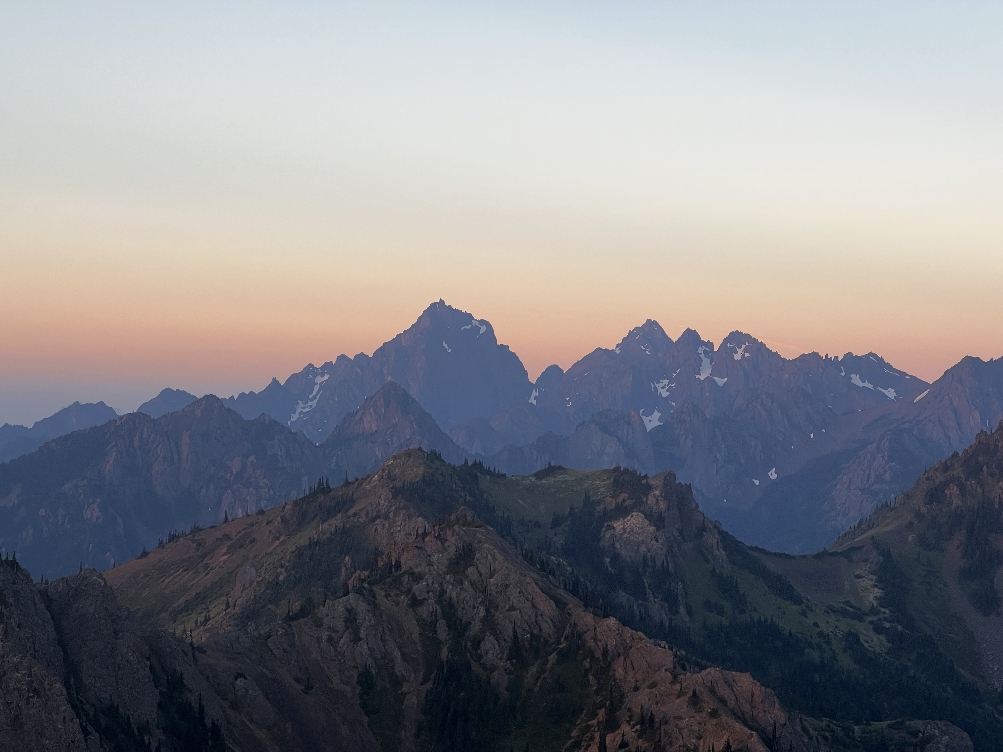
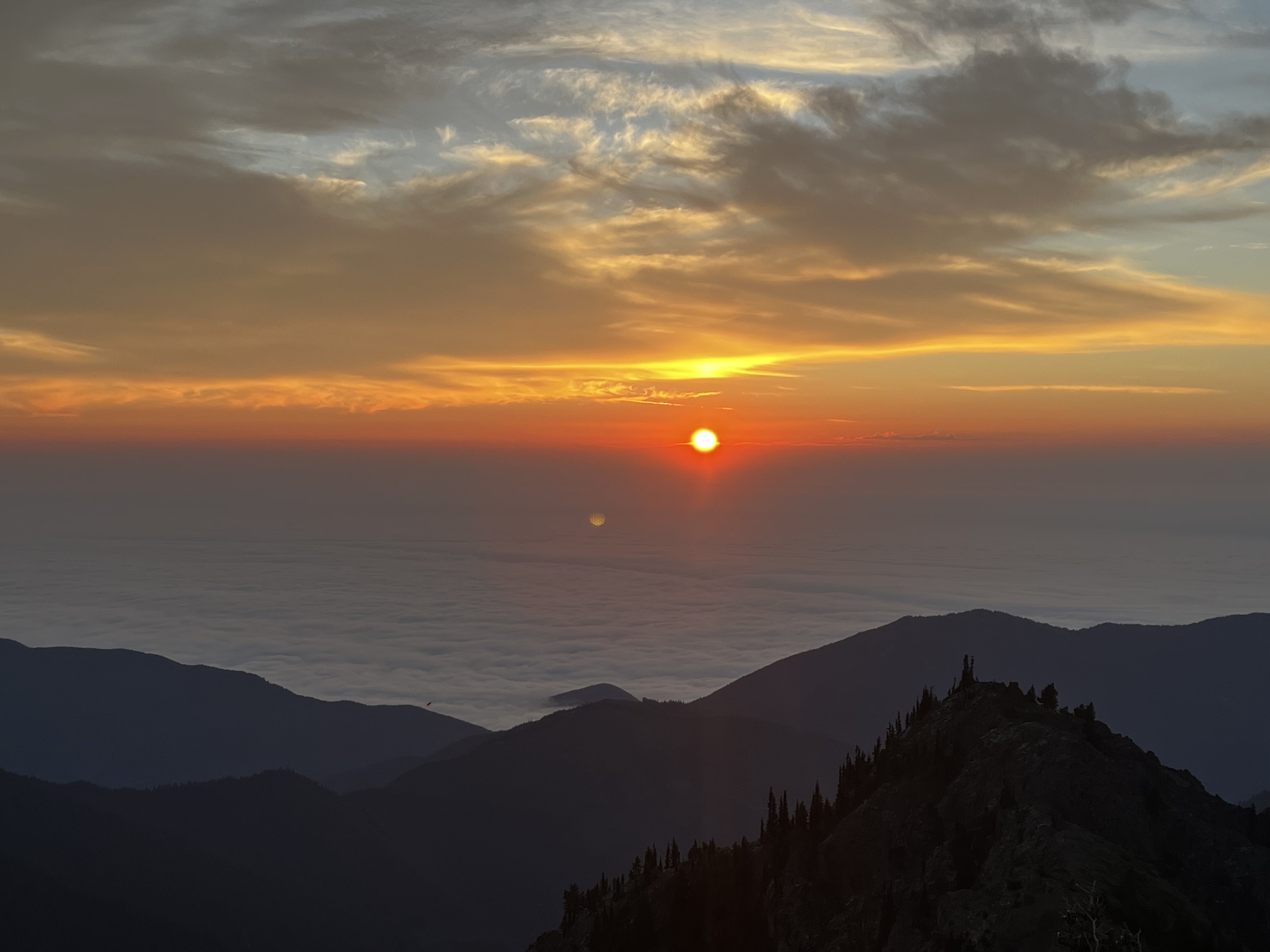
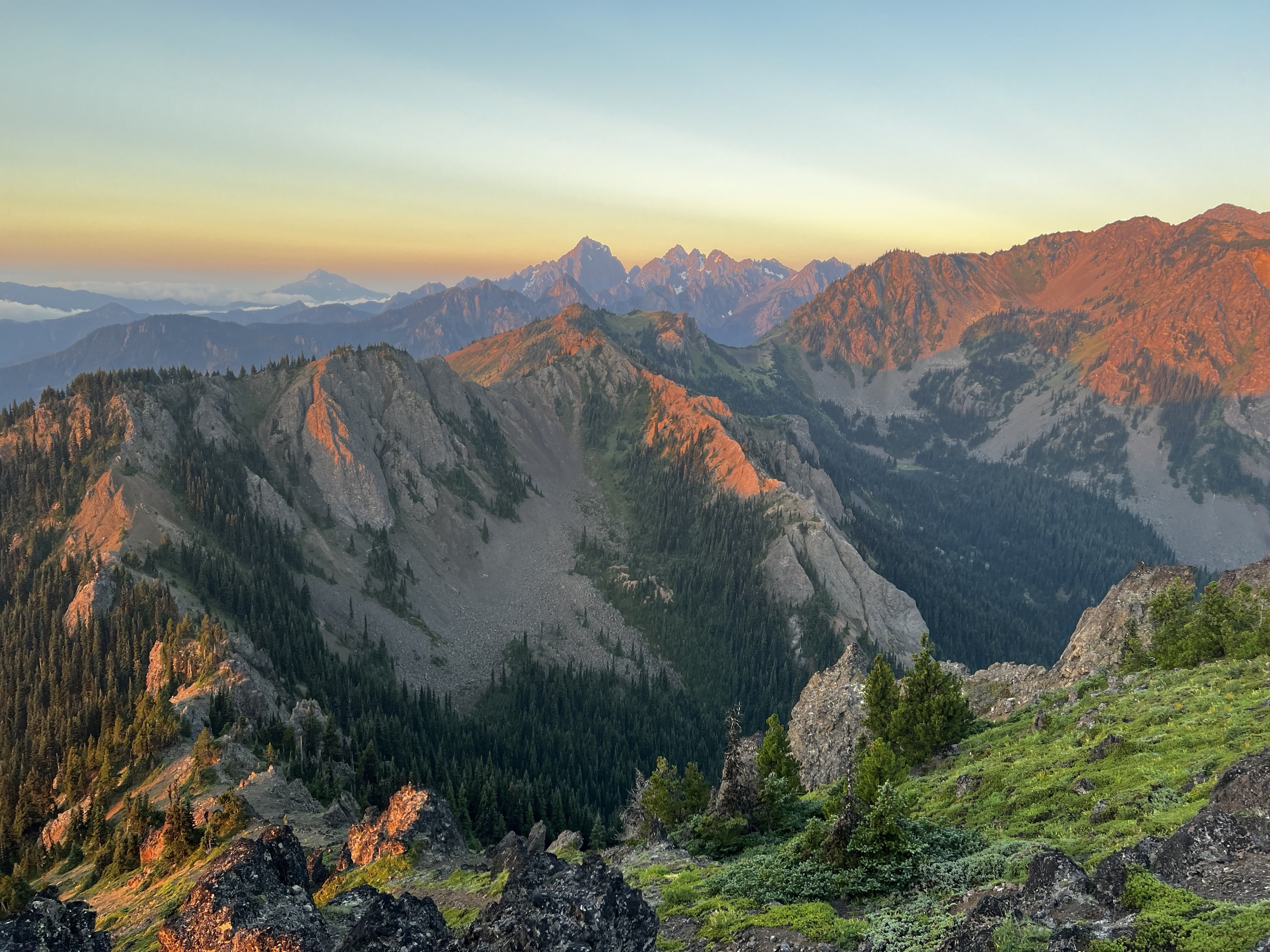
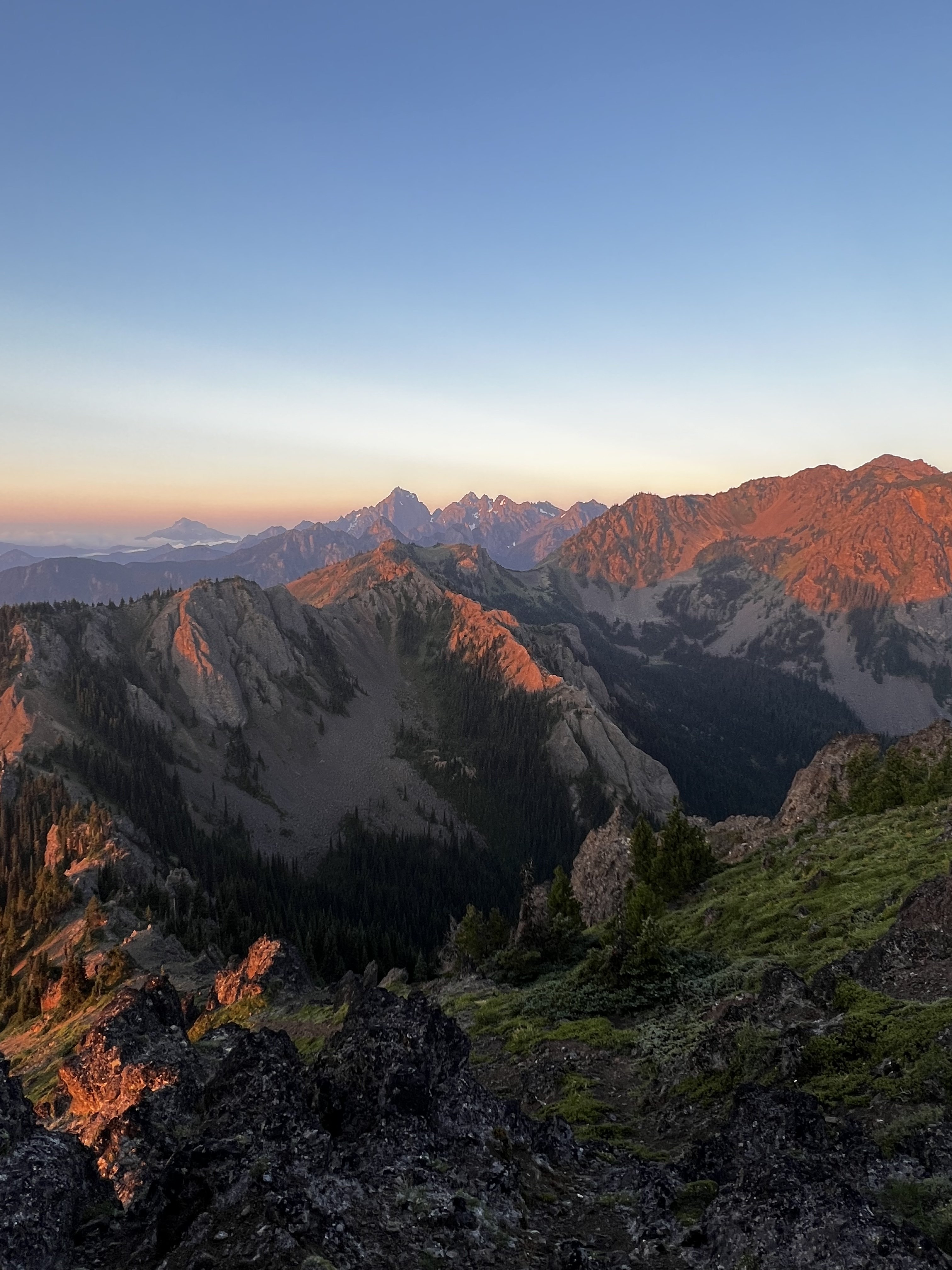
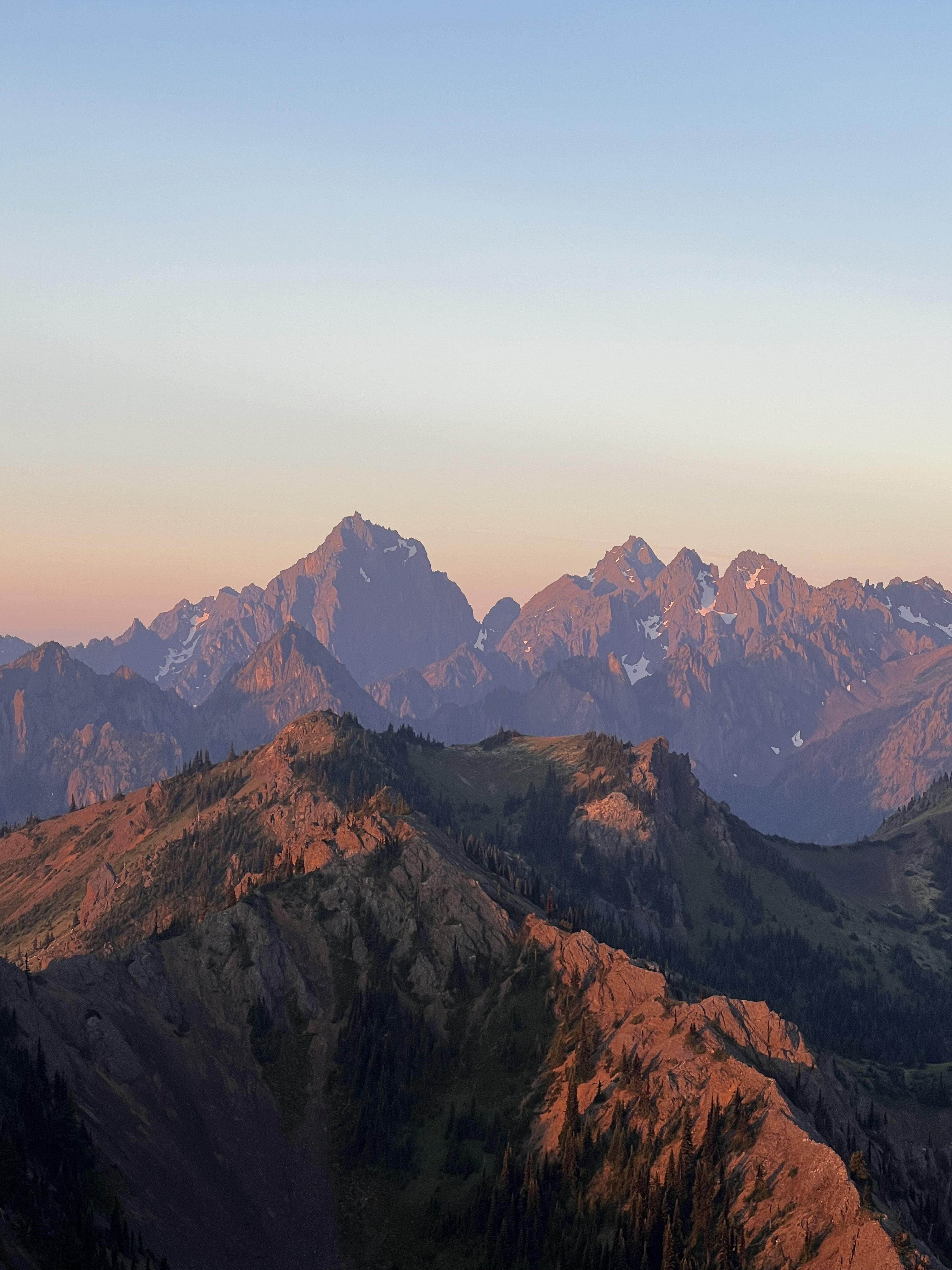
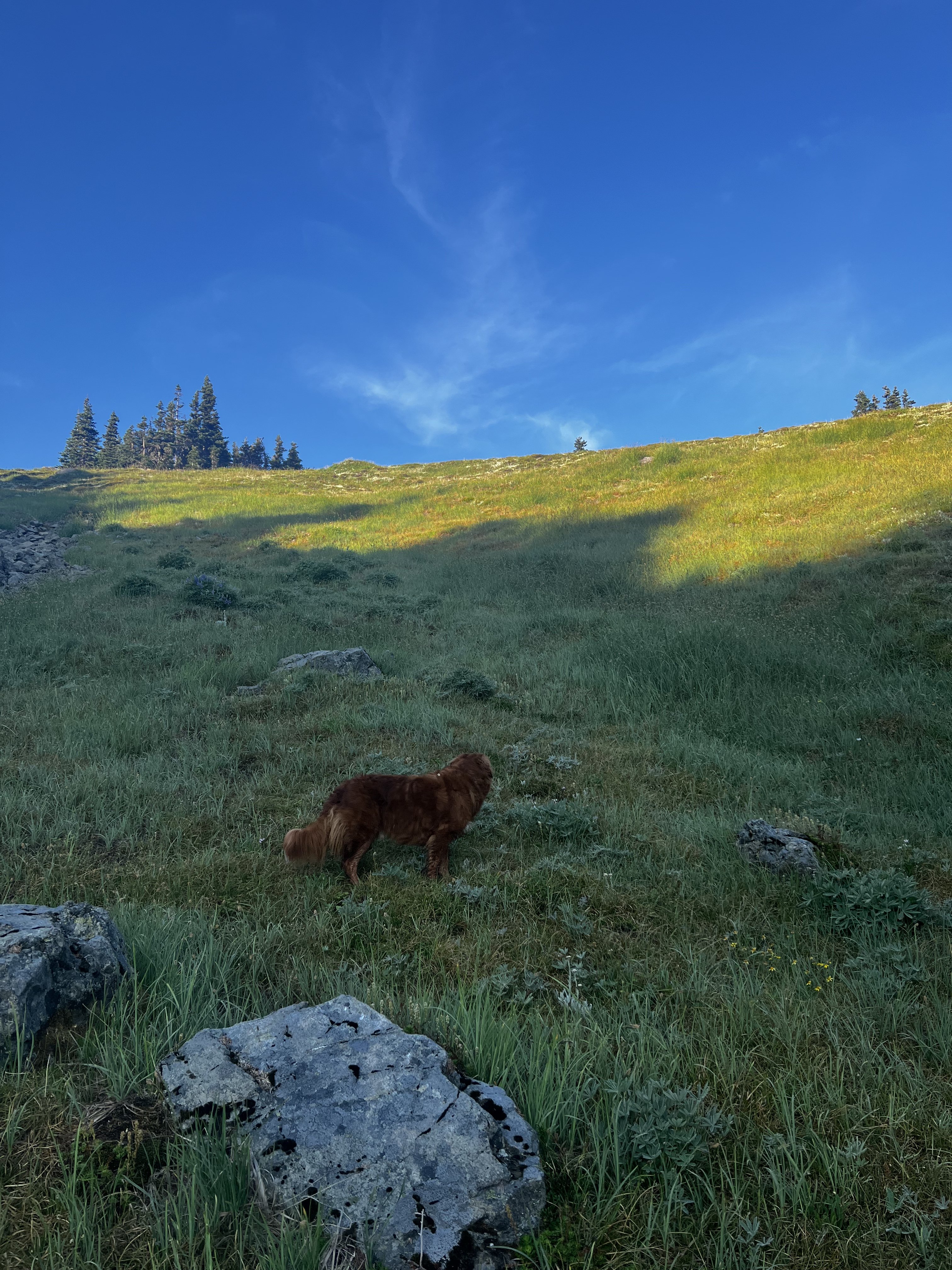
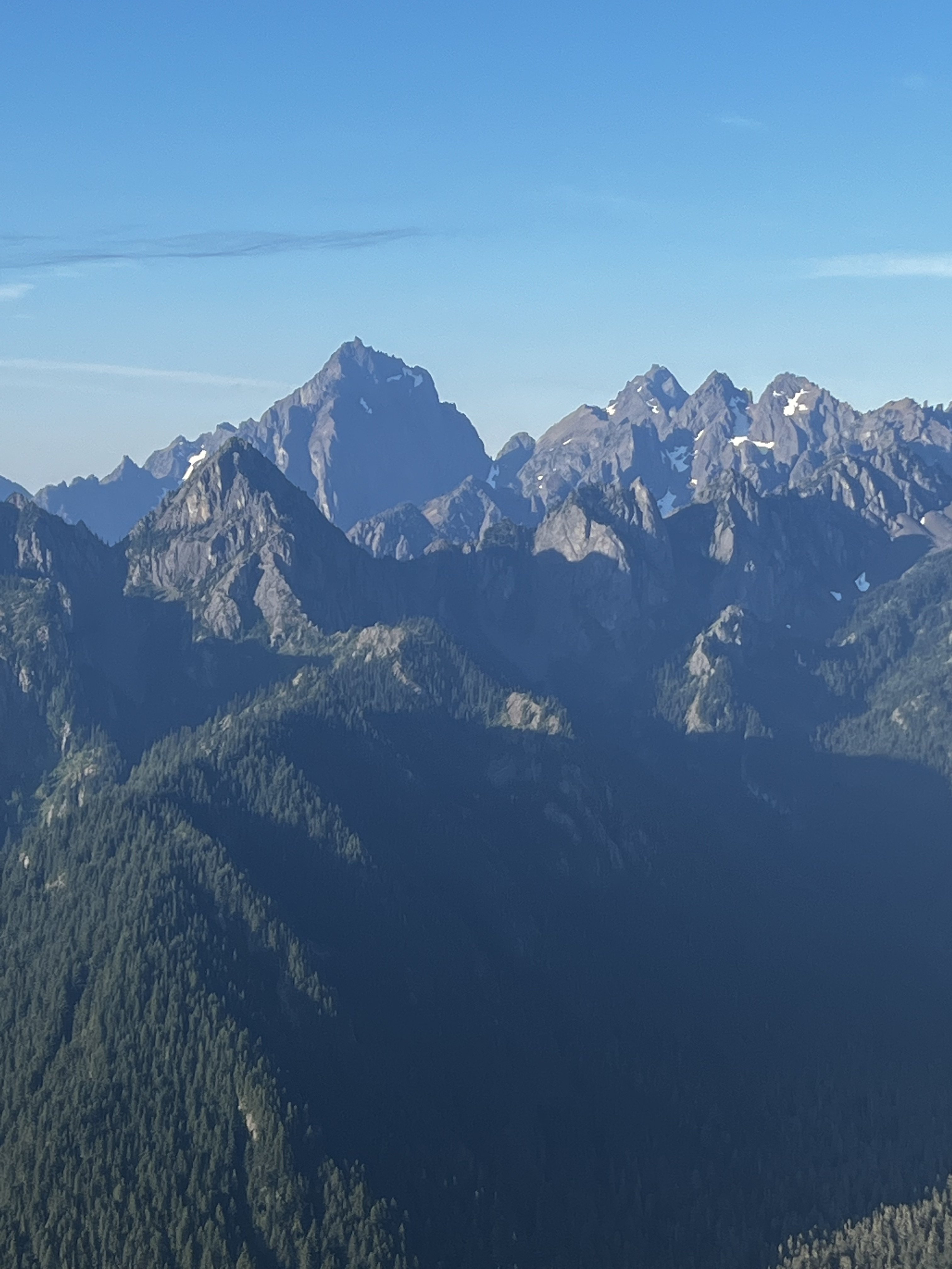
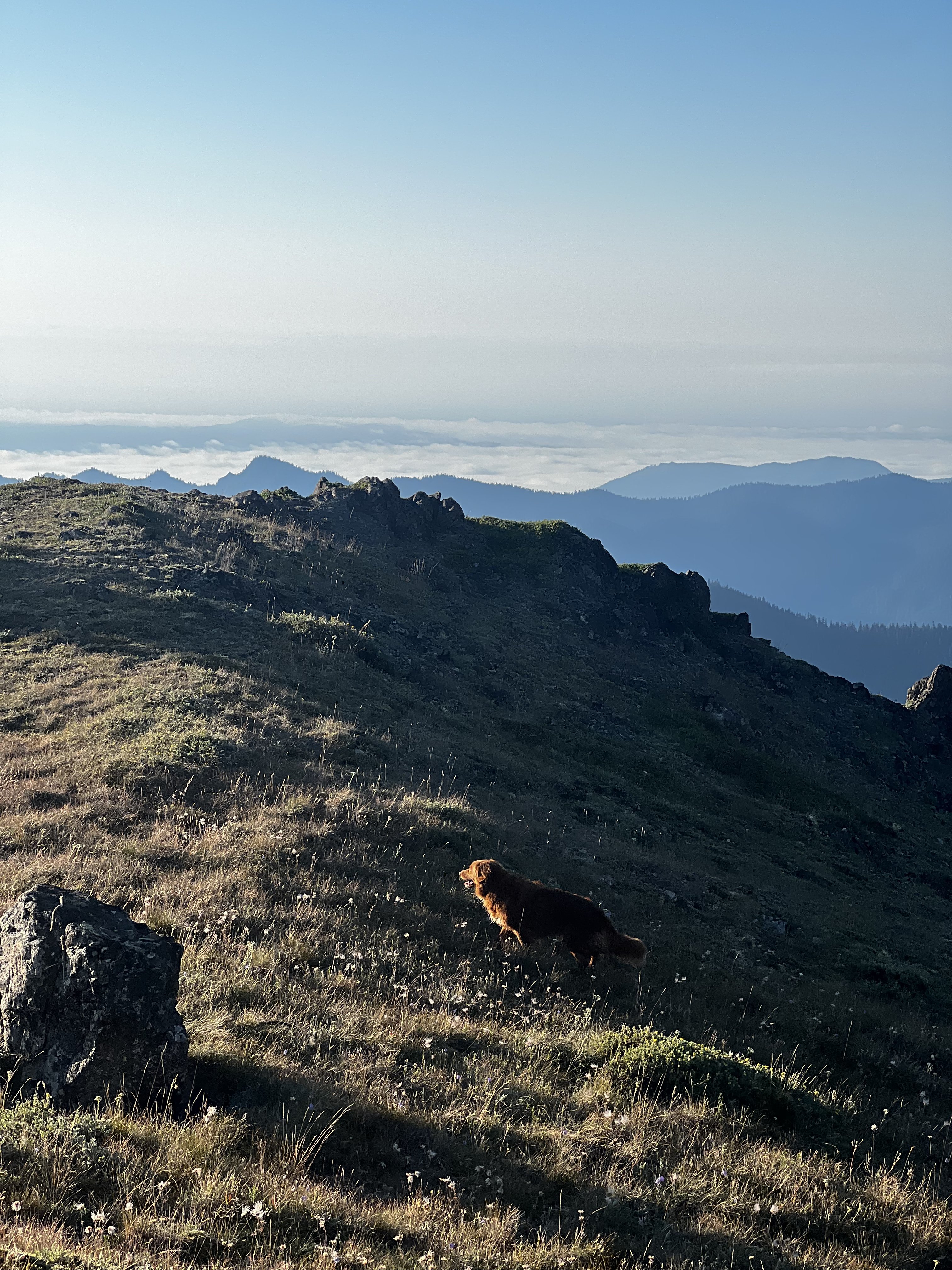
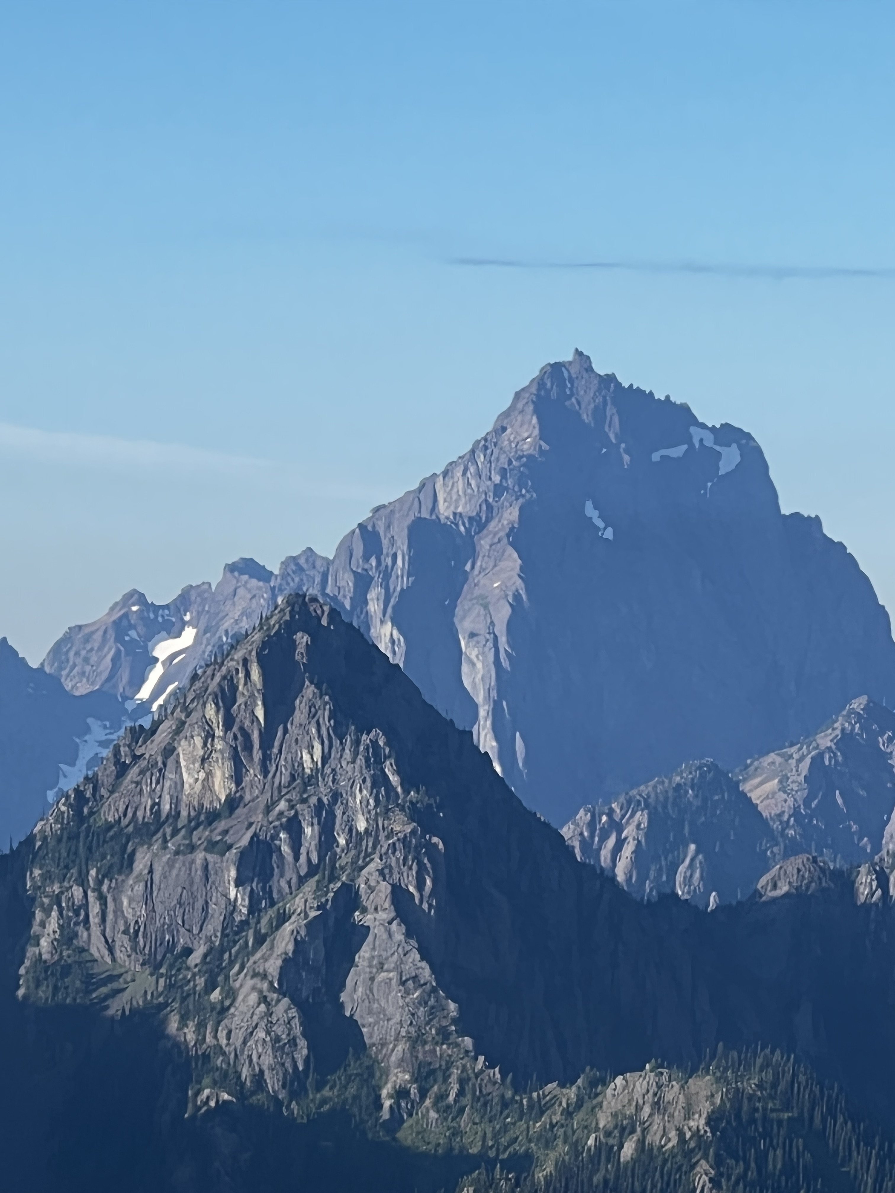
Trip: Mount Robie Reid - SE Ridge Trip Date: 09/17/2023 Trip Report: I've looked at Robie Reid for decades, mostly in winter, as I've driven up 542 from Bellingham to the ski area. It is one of two mountains in SW BC that is impossible to ignore from the areas near the border. The other is Mount Judge Howay, but that is a much more serious undertaking, and since I couldn't find any of the usual suspects to join me last weekend I struck out for the chunky consolation prize that is Robie Reid. In the not too distant past, people would canoe up Alouette Lake to begin this trip, meaning that it was a hard to pull off in a weekend. No longer. Currently the Florence Lake FSR is in great 2wd shape to within a few kms of the end of Alouette Lake, greatly simplifying the approach and making for a reasonable, if physical, weekend. For the young and fit, it is even being done regularly in a 12 hour day or so. But that's not my style. I go heavy with camera gear and slow, and so two days it would be. I got a relatively early start with the plan of dropping my overnight stuff and climbing the peak in the evening of day 1. Partially this was to avoid a marine push Sunday morning (a good plan, turns out) and and partially this was to get home earlier. In the end it worked out just fine, but I was quite tired upon reaching the summit. I think it is something like 6500+ feet of gain from the car, which is a bit much for me and my camera gear. There was a bit of 3rd and 4th class below the false summit but I have no idea if I was on the right path or not- I had no beta other than this is a peak that is commonly scrambled. And so I used my best guesses to link weaknesses on surprisingly good rock. I really enjoyed the climbing on Robie Reid and it was fun to have such a prominent peak all to myself on a beautiful Saturday evening. As I worked my way towards the top, a conspiracy of ravens swooped and circled very close to me, calling with all sorts of noises that only ravens can make. In all my years in the mountains it was unique and very cool. The last bit before the true summit rears up into some exposed 3rd/4th and felt a fitting end to one of the giants of the Lower Mainland. I sat for almost an hour, admiring the view in all directions, and savoring the evening, including a fire raging at the head of Stave Lake. Looking at my watch and doing some quick calculations, I reluctantly turned and headed down about 530pm to ensure I could make it back to my chosen bivy before dark. The exposed bits weighed on my mind a bit being solo, but it all went fine and soon I found myself eating a late dinner, eating some chocolate, and sipping on some whiskey to finish a remarkable day. I opted to sleep out and leave the tent/bivy at home. This may have been a mistake. No, it was a mistake. Despite me carrying higher than the usual camp at Robie Reid tarns and camping at a totally random patch of gravel, I was tormented by mice all night. Near as I could tell, nobody camps in this location, but the mice sure seemed friendly and unafraid to run all across my head and chew through all of my stuff despite my feeble attempts to dissuade them. It was a night where morning couldn't come soon enough. At least I was entertained by trees torching at random intervals across the valley. The next day I retraced my steps but it all felt longer than on the way in, naturally. As a bonus, I got stung twice along Alouette lake as I using a handline around a large cliff. Poor timing. The lingering stings added to the sting in the tail of gaining 800' back up to the car. At least I wasn't locked behind the gate, which appeared to have happened to a father/son pair I met on my way down. I felt appropriately thrashed as I bumped my way out of the woods and back to the border, but fully satisfied with my weekend. I will no longer wonder about Robie Reid as I drive 542 this winter- I'll save that for Judge Howay! Stave Lake and Mount Baker: Here comes the Judge! The true summit: The judge! True summit and the Judge: Lower Fraser Valley at night: Stave Lake Fire: Slese et al: Baker: Twin Sisters and Stave Lake: Robie Reid tarns and Stave Lake: Alouette Lake second growth: Alouette Lake: Gear Notes: Helmet. Early season would mean crampons and axe. But this is best as a late season scramble. Bring a tent and a way to shield food from mice. Approach Notes: Florence Lake FSR is in great shape as of summer 2023. This won't always be true. You can drive within a few kms of the base of the mountain at the moment. Don't wait 5 years!2 points
-
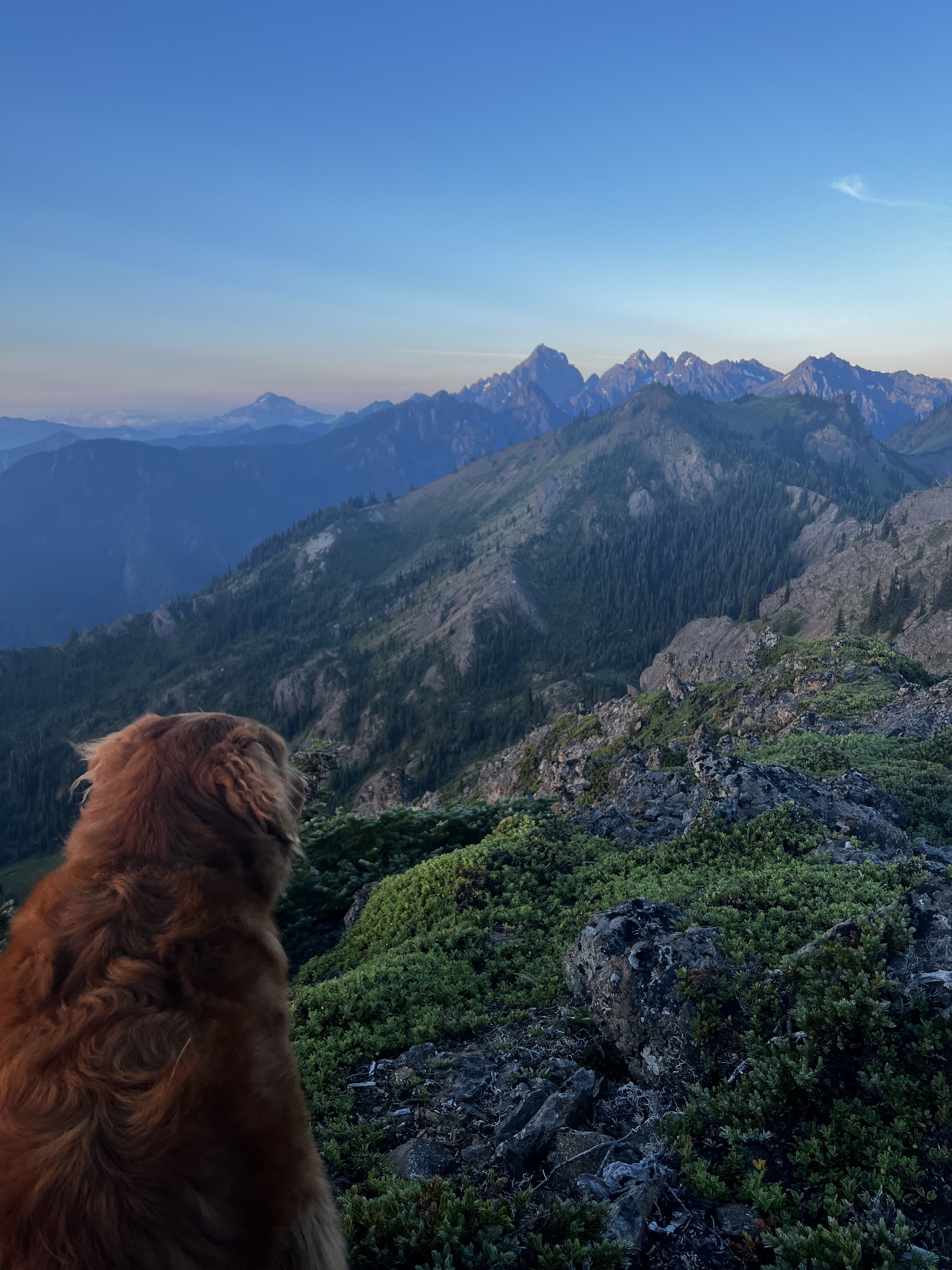
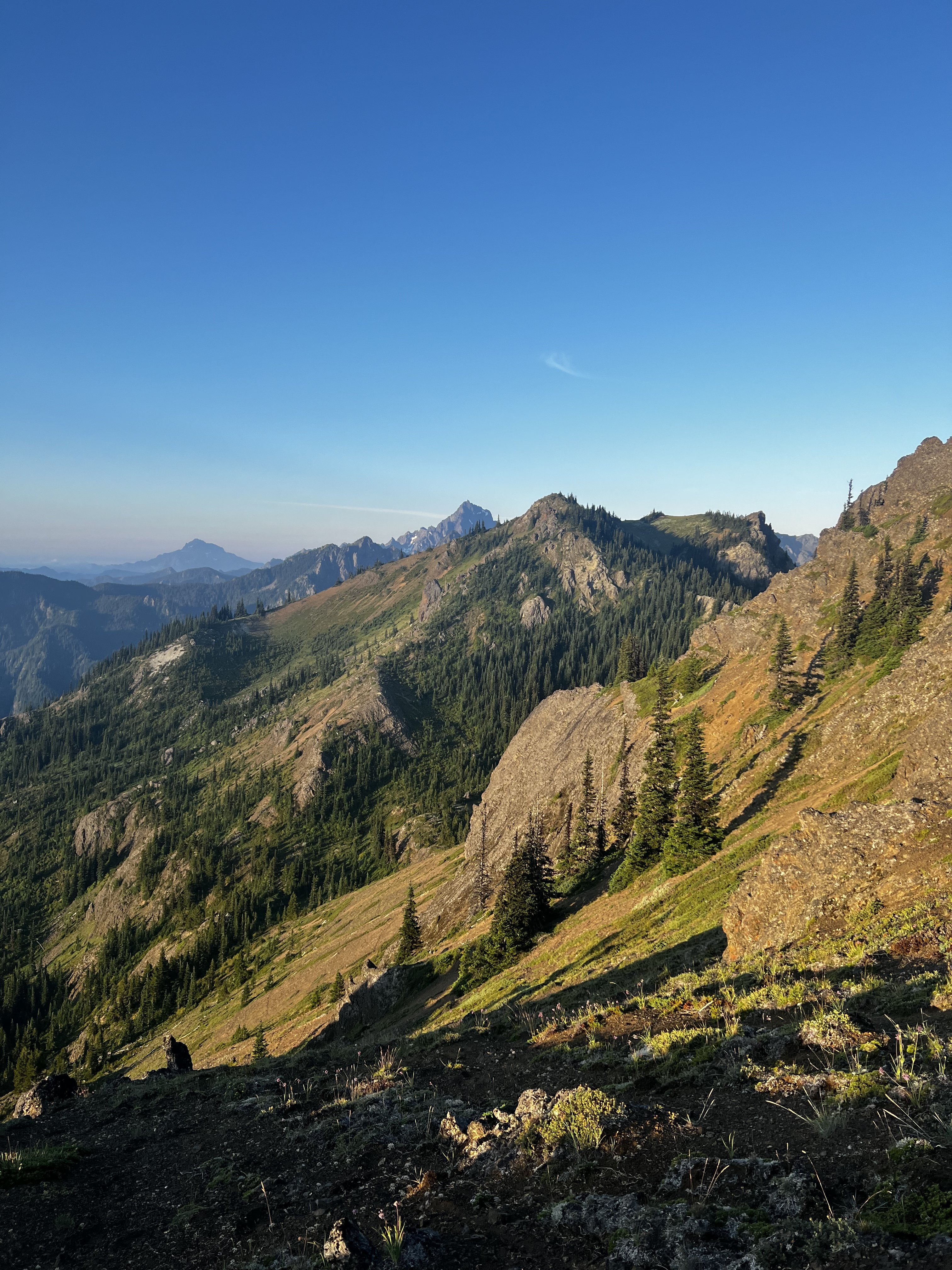
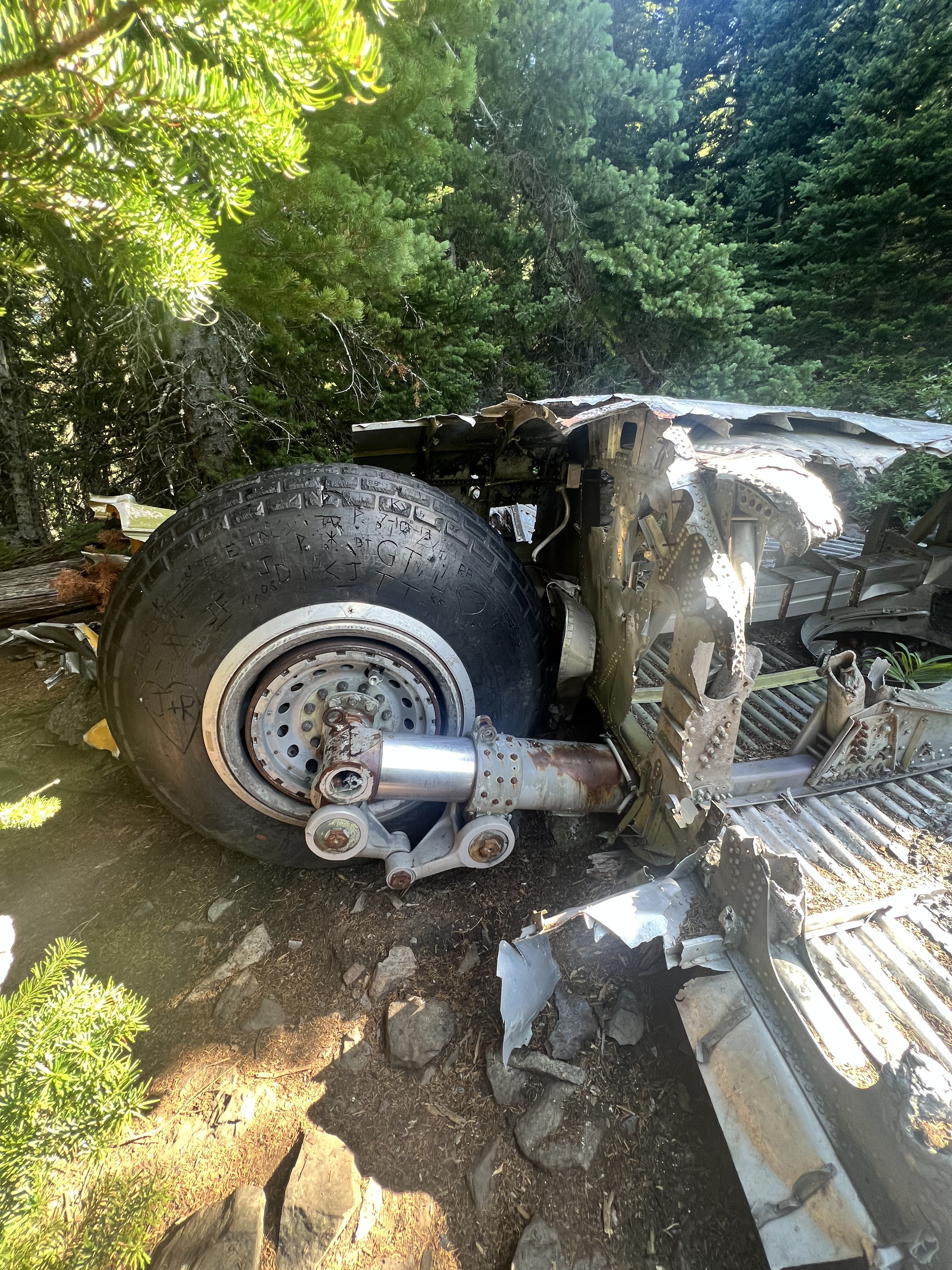
Trip: Welsh Peaks > Sillver Peak > Hawk Peak > Tull Canyon - traverse Trip Date: 08/20/2022 Trip Report: My climbing partner and I did this little traverse on Saturday morning. We camped at the Silver Creek trailhead, in a tent next to my truck. Every night, like Cato attacking Inspector Clouseau, my climbing partner tests my resolve. He waits till I'm most vulnerable and unsuspecting and attacks. I held him off again, this time in a little BD Firstliight. Later I saw a remarkable "shooting star"...a band of iight moving across the sky rapidly until it disappeared over the eastern horizon. I thought I had seen nothing like it before, but then I remember the Space Shuttle when it fell...it looked liked that, but just the one band of light. My climbing partner woke up at 3:30 and told me he was ready to go now and to stop fucking around, lets go. So I obliged and we got under way at 4am. We reached the summit of the taller Welsh peak right before sunrise and witnessed a glorious birth of a new day from there. Then we moved on our little high country traverse, following game trails and an occasional footprint, moving south, staying high on the ridge as possible. Eventually saw a couple down at Silver lake camped with their dog from our ridge vantage point. We continued on to Silver Lake Peak and then dropped down to the gap between that and the start of the ridge up Hawk Peak. There are several ways up Hawk peak, but we stayed on the south side as much as possible to soak up as much of the views of Constance, Warrior Peaks, the Brothers, Mt Anderson, Mt Jupiter, and others...truly a great vista. The Puget Sound below remained carpeted in clouds. We made our way up to Hawk Peak, which is an incredible vantage point. Then we left, but I forgot my trekking poles so we had to backtrack and go get them from the summit. We dropped down to the basin of Tull Canyon, which is very beautiful. Unfortunately you have to drop quite a ways before finding water, and not long after that we were at the plane wreck in Tull Canyon. You can read all about it here, a fascinating story. What I found most interesting is that only three of the crew died, listen to this account: We visited the wreck for a while and then continued down the trail to the Tubal Cain trail. We ran up to make sure the main mine was still open (it is!) Then we hiked down and out via the Tubal Cain trail, and then the mile back up to the truck. A fun 6.5 hours moving time/ 8.5 hours total. Milage was a little less than 15 miles (including back track to get trekking poles). We saw people first up by the plane wreck which appears to be growing in popularity like everything else....and there was a conga line going up Tubal Cain trail. Didn't go to the back of the main mine at Tubal Cain as my climbing partner wouldn't let me, but if you go up there do it...it's an adventure. photo dump: Gear Notes: trail running pack, trekking poles Approach Notes: drive to the end of the dungie road1 point
-
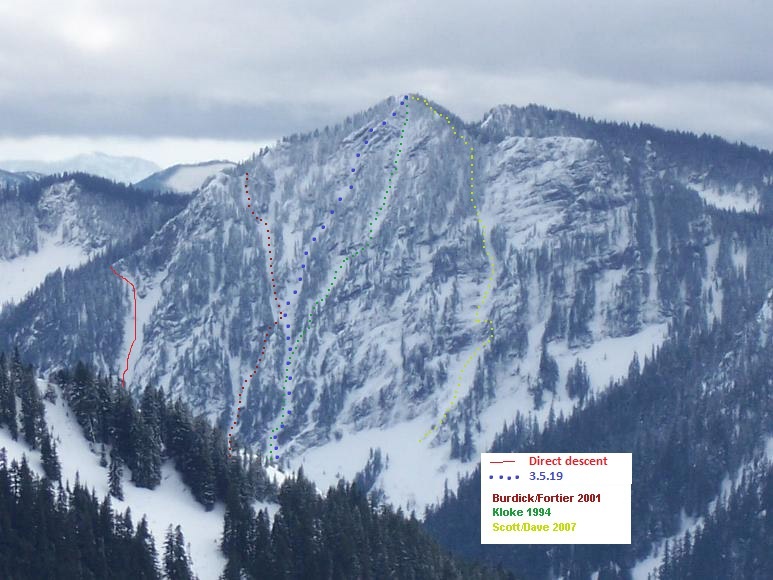
Trip: mt. kent - north face Trip Date: 03/05/2019 Trip Report: sub-alpinism seems to have understandably fallen out of favor given conditions in the coulees, sw b.c. and patagonia. couple of overview photos from yesterday: yesterday's route provided a half dozen entertaining ice/turf/rock steps. once above the last step, ~300 v.f. of forest take you directly to the summit. the quickest descent is down the east ridge then down the large avalanche gully on the left side of the face: there is old red webbing around a tree on skier's right but it is now easily down climbed. if you mistakenly drop down the burdick/fortier gully as i initially did, you could probably do a couple raps down the final two steps w/ one rope. the last couple of steps before the forest: annotated photo from ~2007: the photo above was copied from this thread: Gear Notes: the usual sharp stuff. Approach Notes: xc up east side of alice creek.1 point


