Leaderboard
Popular Content
Showing content with the highest reputation on 12/09/20 in all areas
-
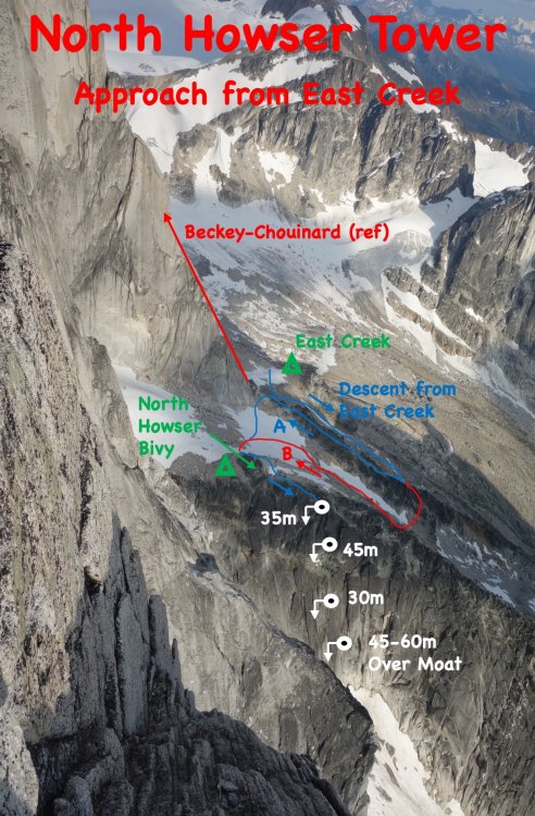
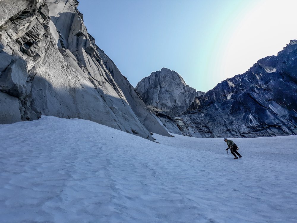
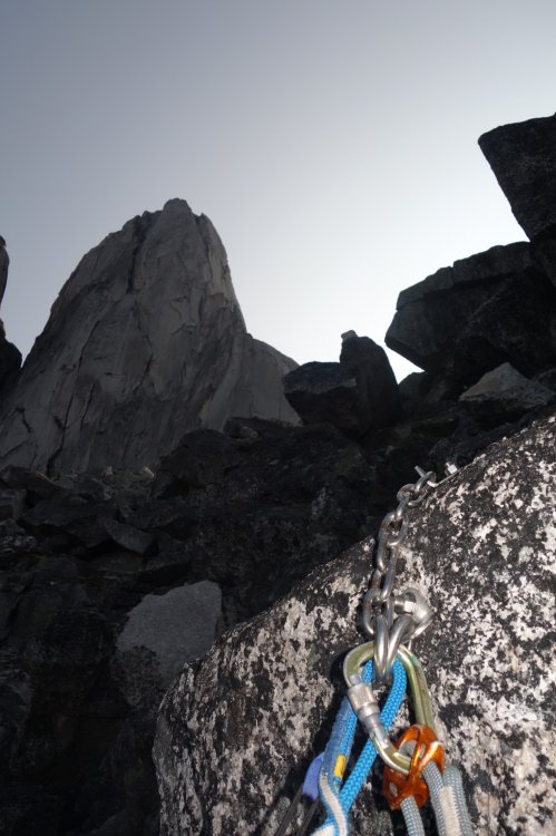
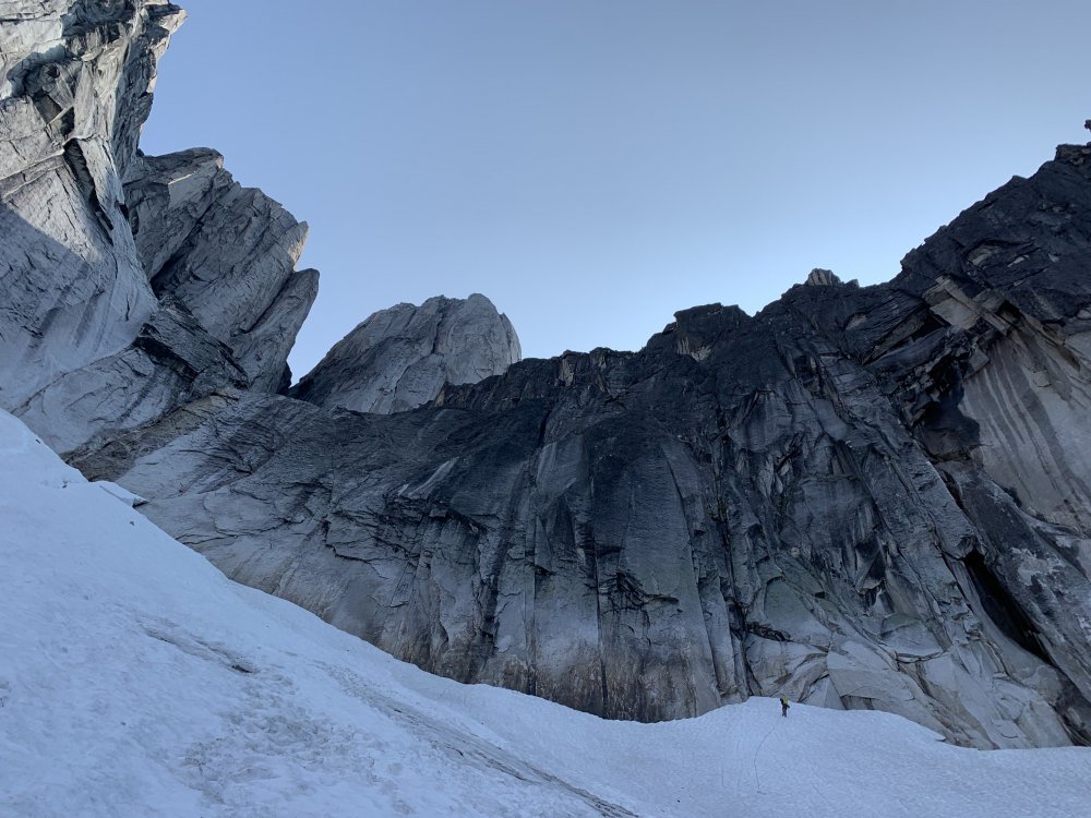
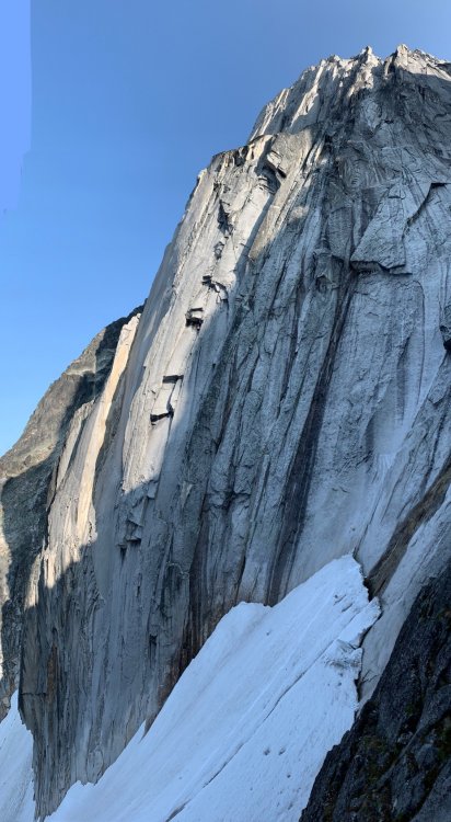
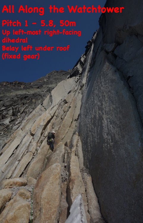
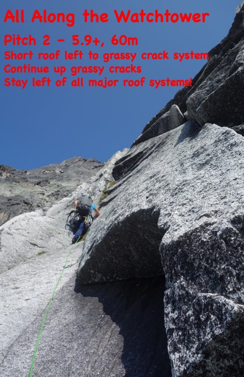
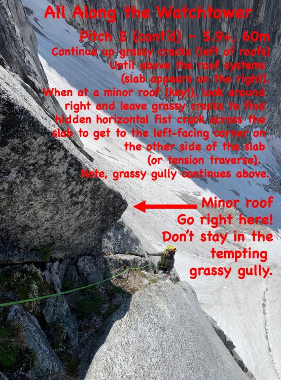
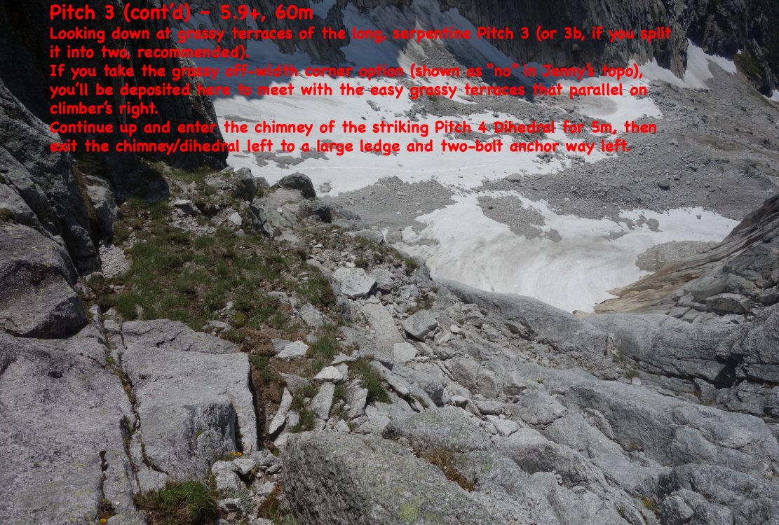
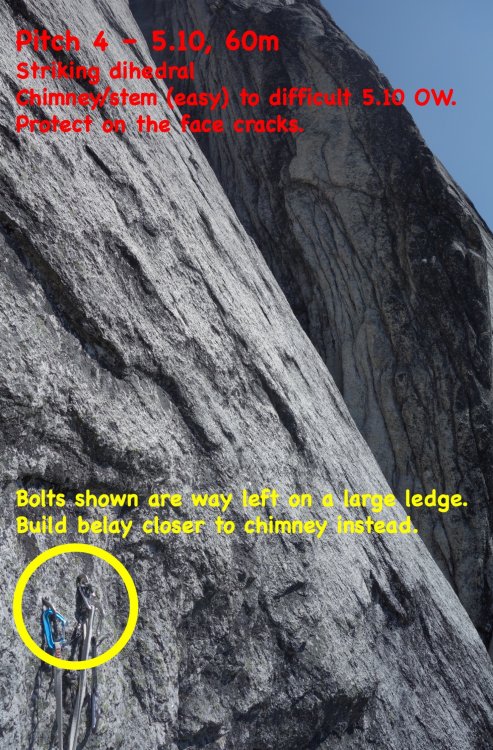
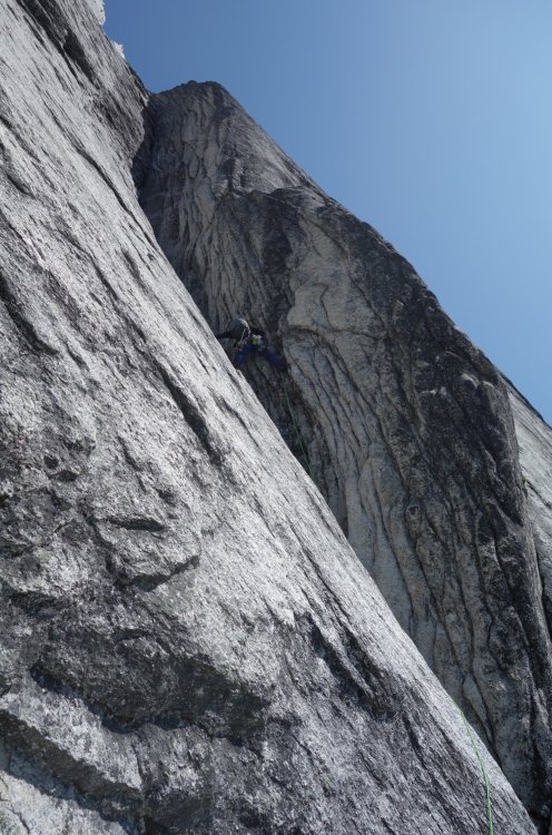
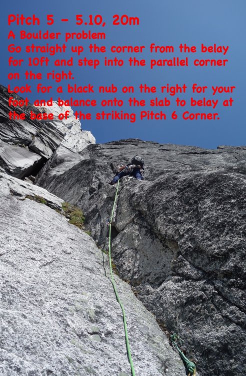
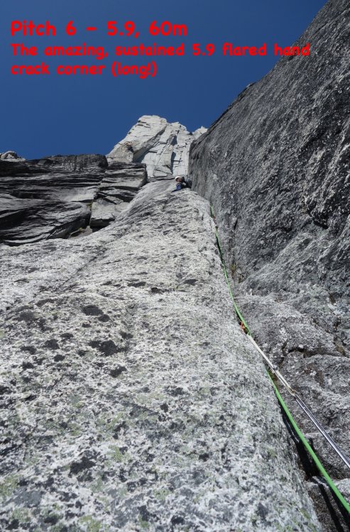
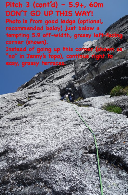
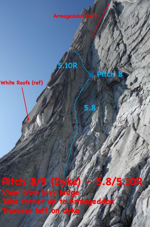
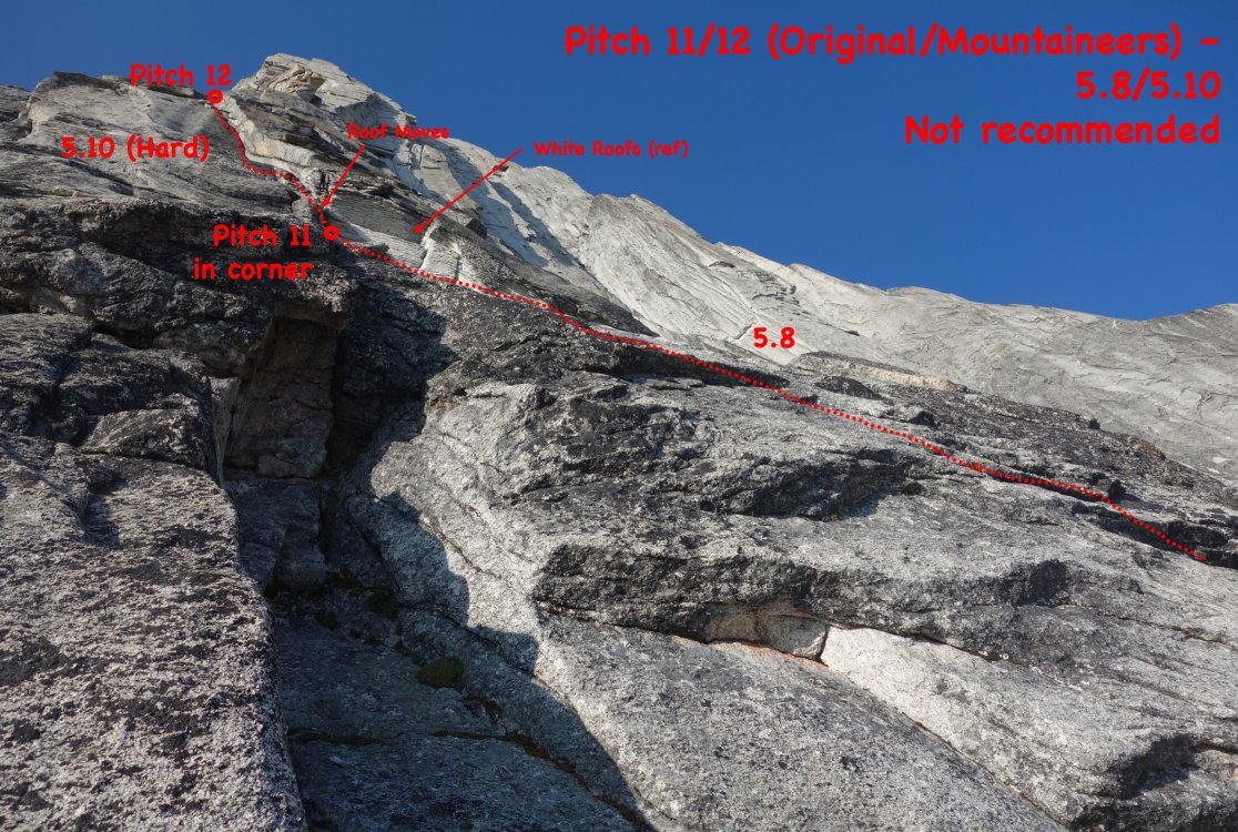
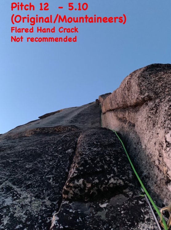
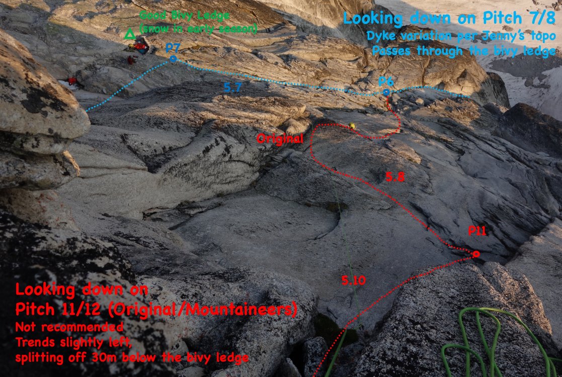
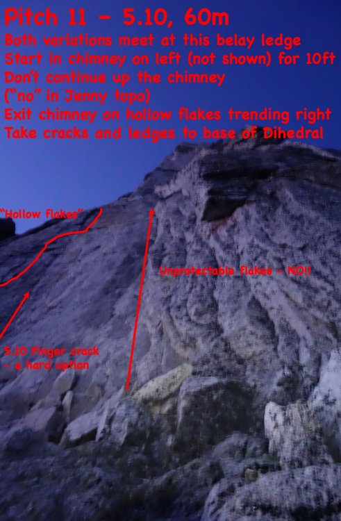
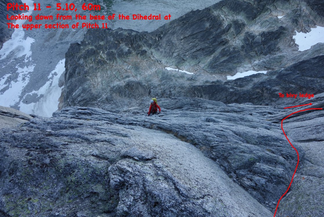
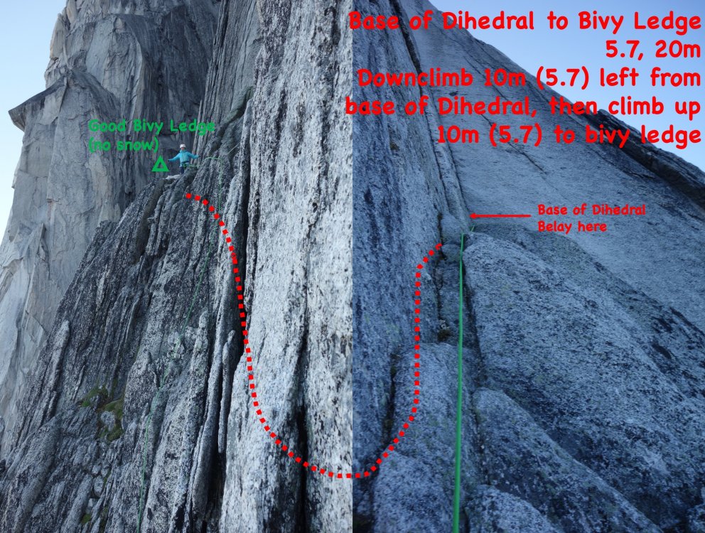
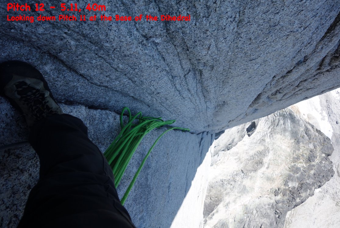
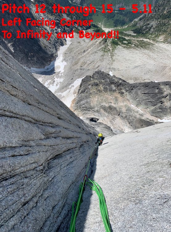
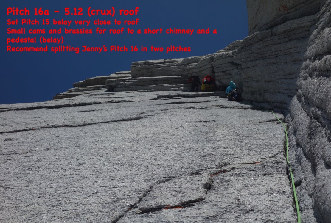
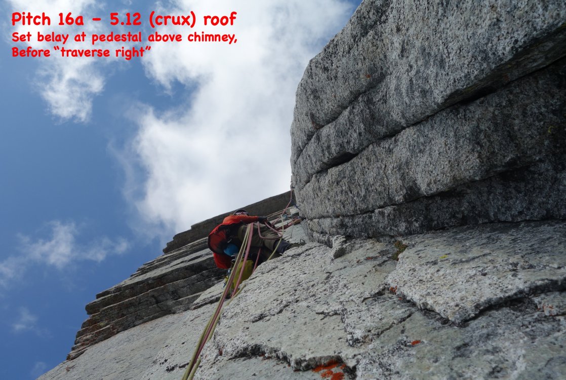
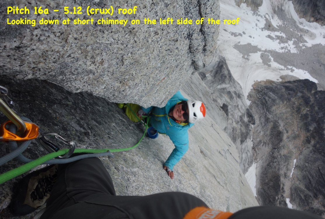
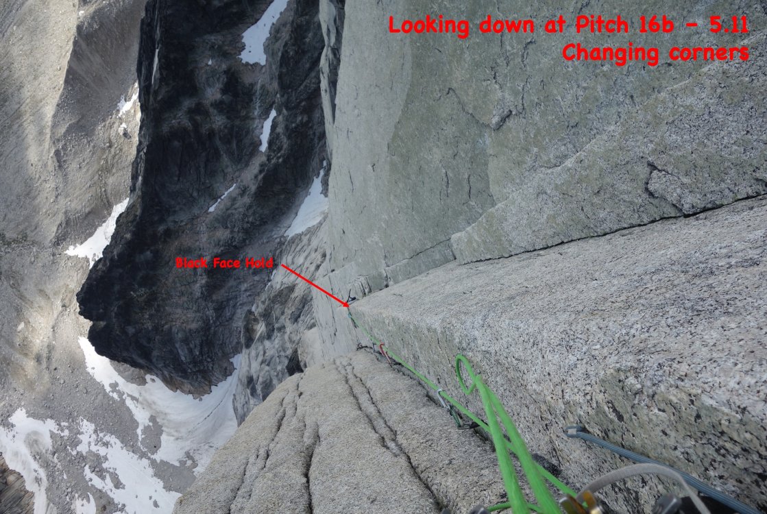
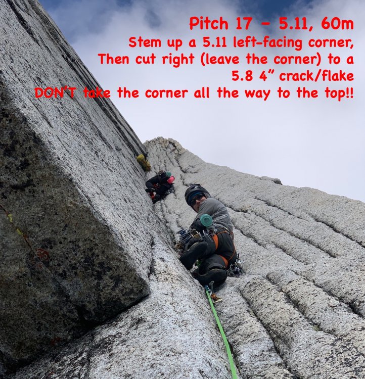
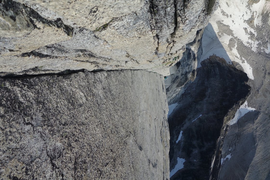
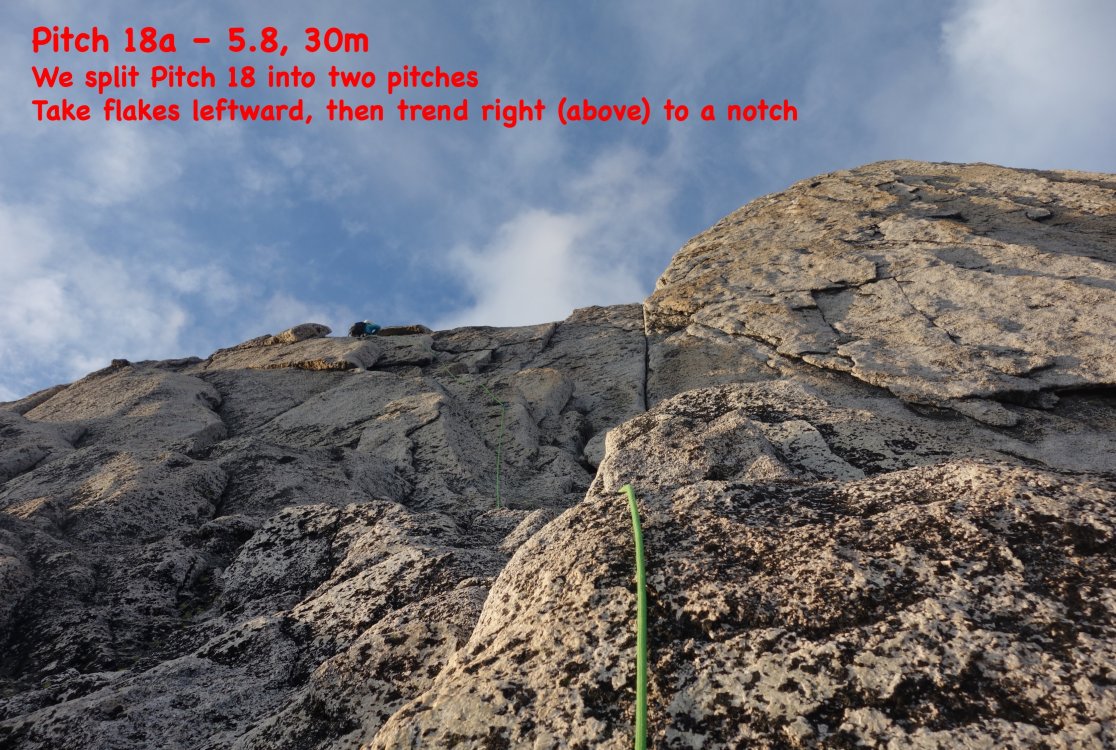
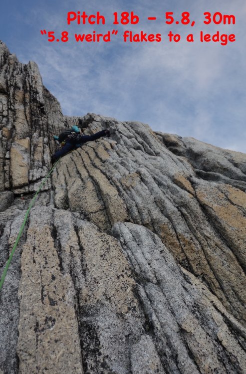
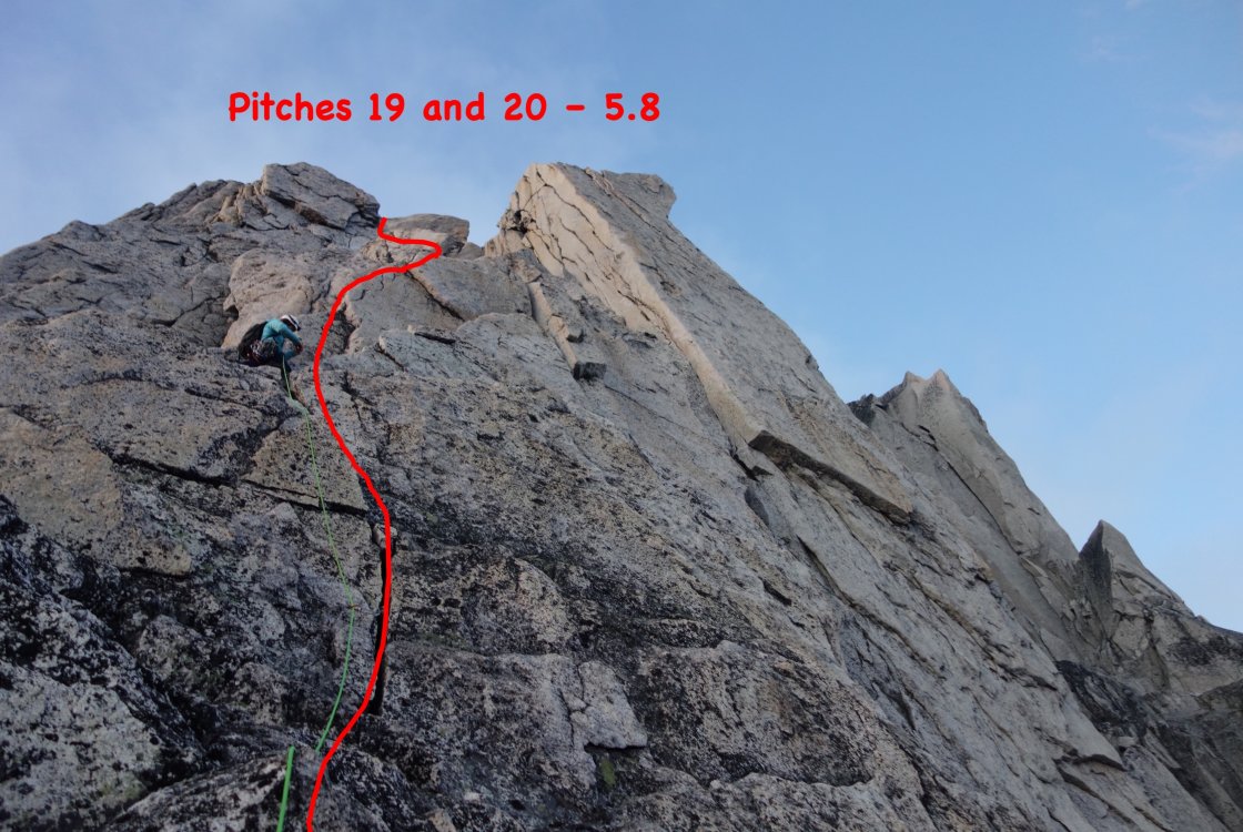
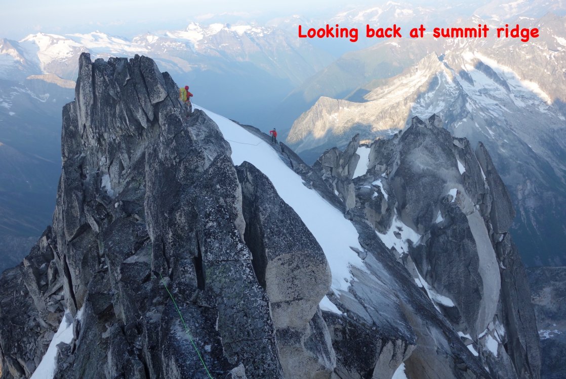
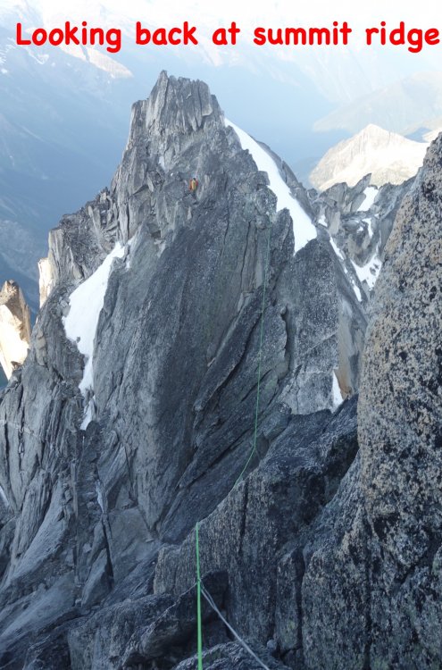
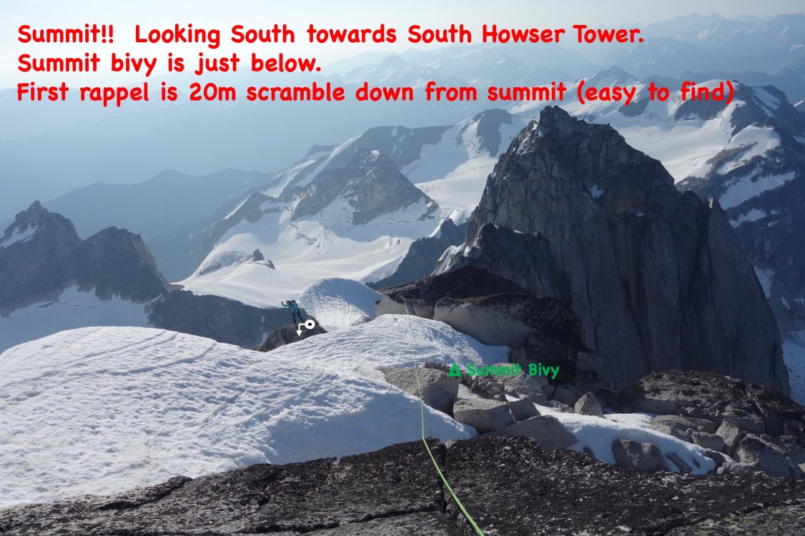
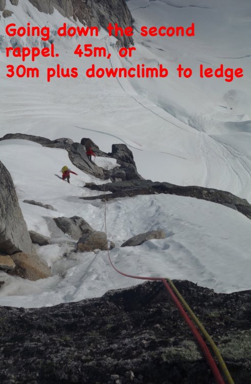
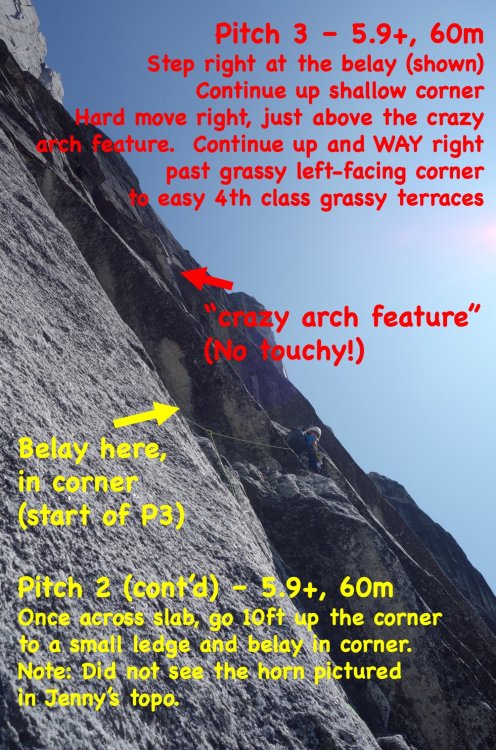
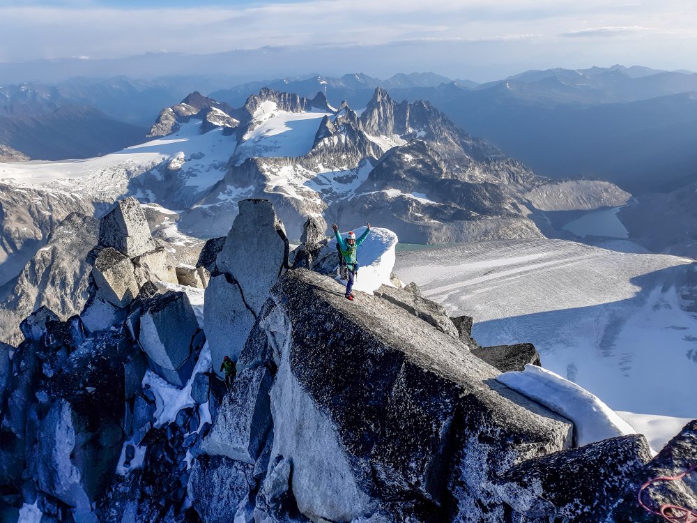
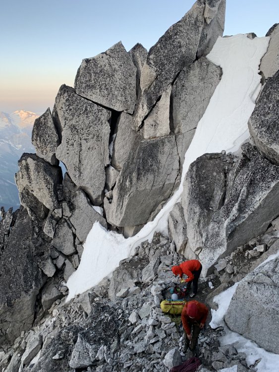
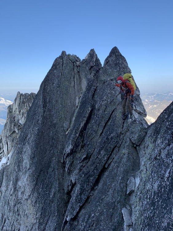
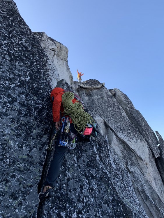
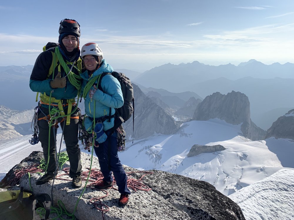
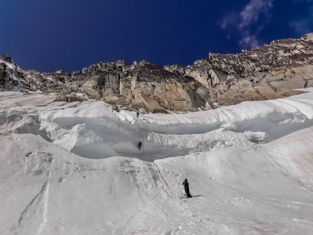
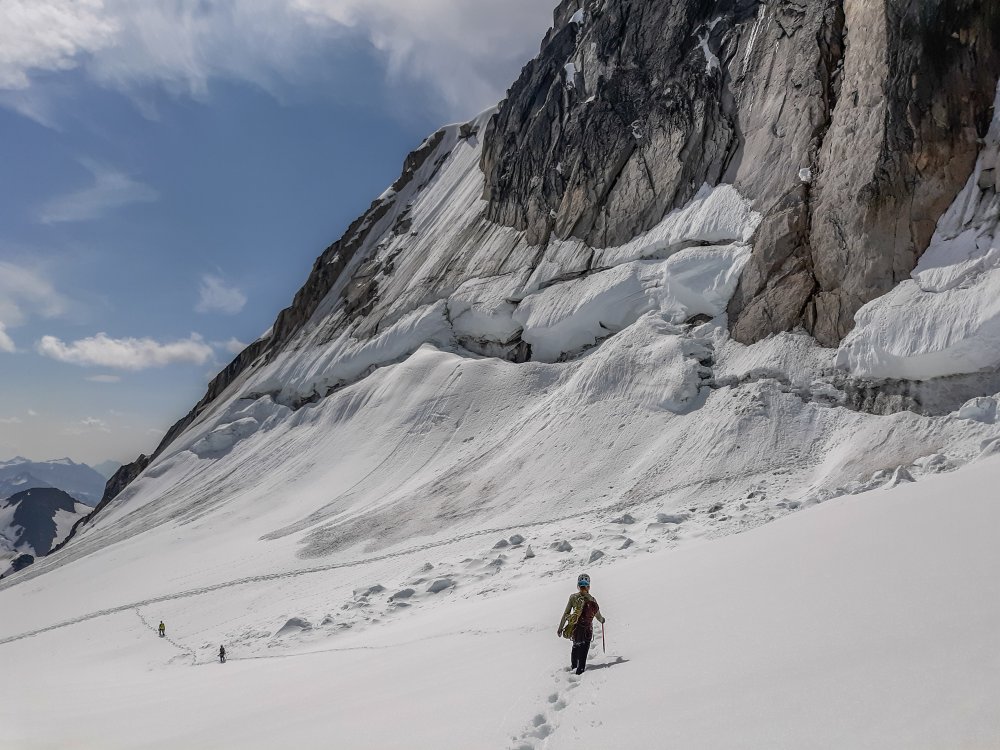
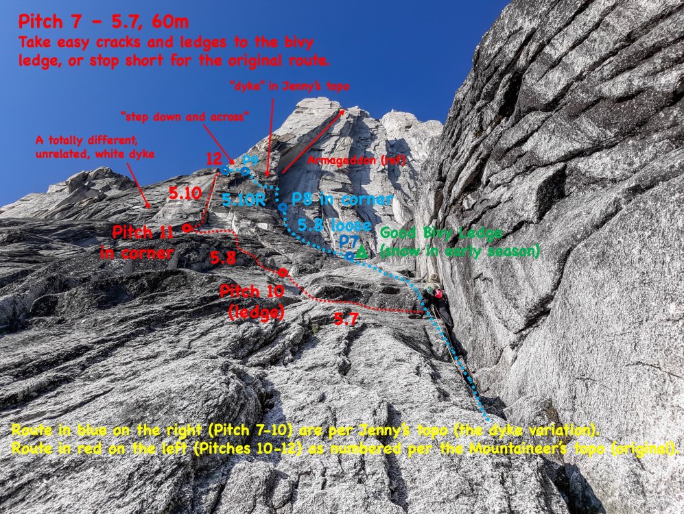
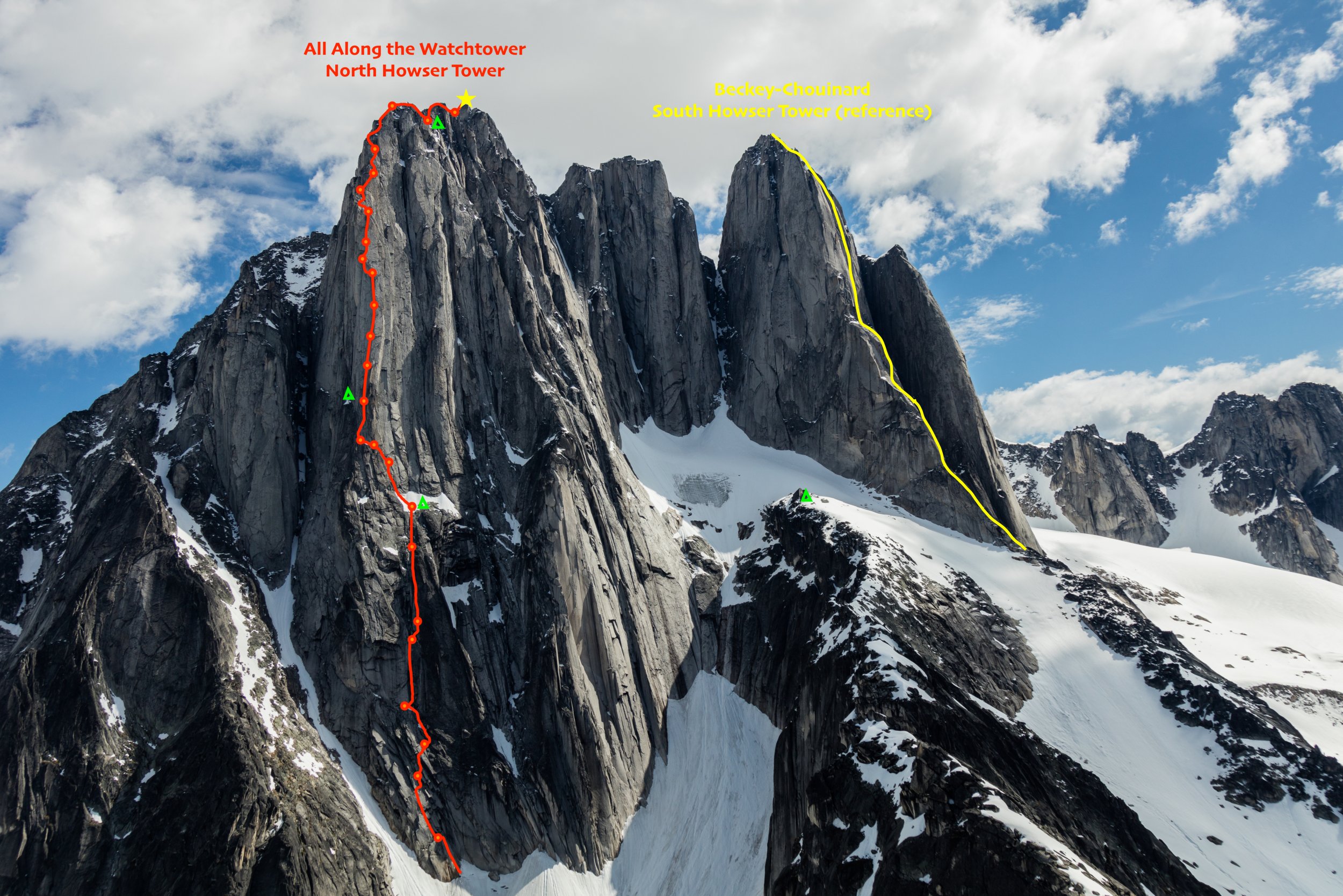
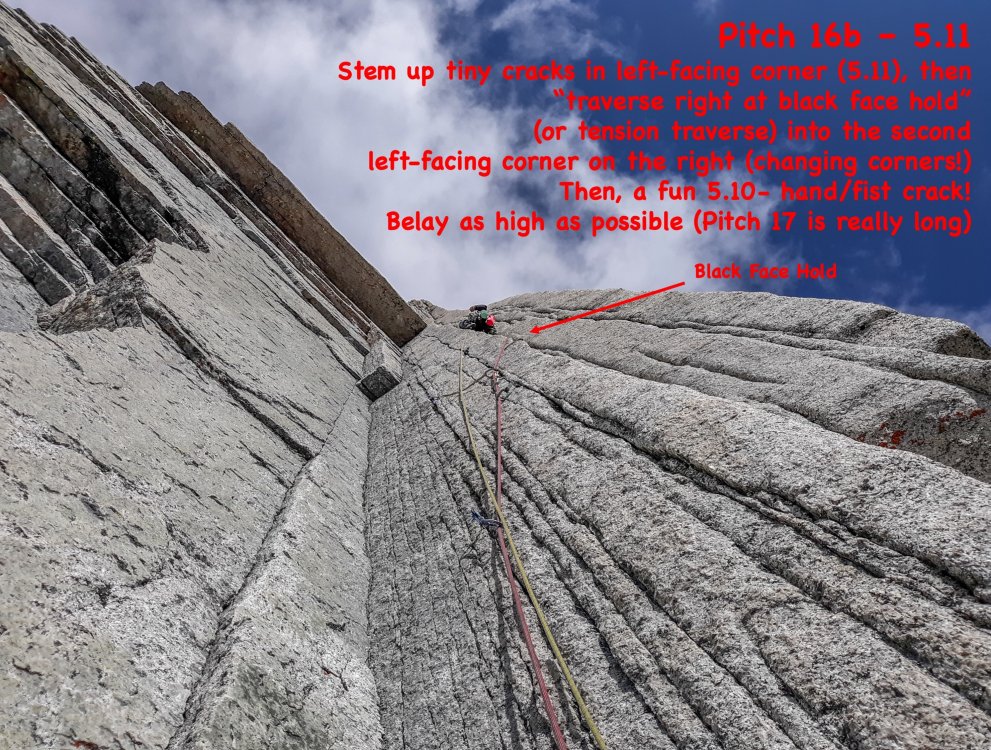
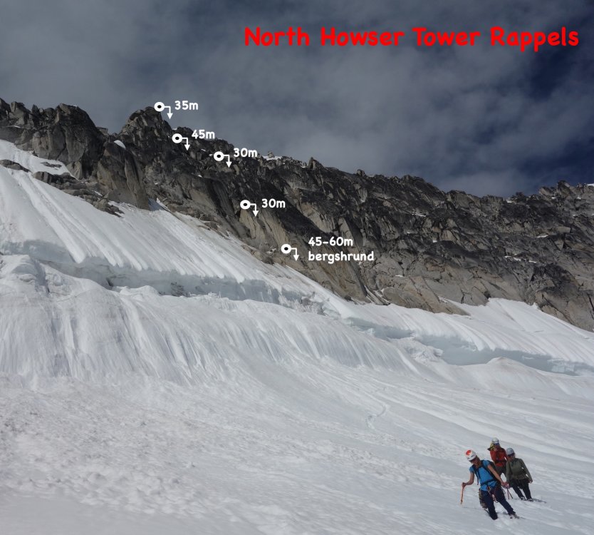
Trip: North Howser Tower - All Along the Watchtower Trip Date: 08/06/2019 Trip Report: Climb Date: August 4-6, 2019. Summit August 6, 2019 Climbers: Jeff and Priti Wright Climb: All Along the Watchtower (Grade VI, 3000ft, 32 pitches, 5.10/C2- or 5.12) Style: Follower jugged every pitch in the Dihedral with micro traxions and runners. Heavy French/Aid utilized by the leader in the Dihedral. Two packs brought. Leader climbed with light pack, except in the Dihedral (where follower jugged with one pack on, trailing the other). Two bivouacs (one at base of Dihedral and one on the Summit ridge). With so little beta out there on the route, we found the route finding tricky. This post is intended to be a beta sheet to help with route finding. All Pitch numbers are per Jenny Abegg's topo which was very useful (https://jennyabegg.com/climbing/trip-reportsbeta/all-along-the-watchtower-north-howser-tower/). Pitches 2 and 3 were confusing and we split each of these into two pitches. If you stay on route and watch rope drag, you can avoid splitting these up. They are both full-length pitches. Pitch 3 is so wander-y that rope-drag might be unavoidable - recommend splitting this into two pitches. Pitch 16 (5.12 crux roof) in the Dihedral was only pitch where we thought it was mandatory to disobey Jenny and split into two pitches. Topos Jenny's topo was pretty spot on. Pitches 8-11 on Jenny's topo are the dyke variation that Westman/Haley did (on accident) which ascends directly up from the bivy ledge. Jenny's topo does not show the original route option, which splits off 30m below the bivy ledge. If you wanted to get snow at the bivy ledge and continue on to the original route, you have to rappel or down climb 30m 5.7 to meet back up with the original route. The party behind us did the dyke route and we did the original route. After talking to the party who did the dyke route, it's very safe to say that the dyke is better way to go. The Mountaineer's guidebook (the green book) topo shows both the original route and also the dyke route options, but the High Col topo shows only the original route. The High Col topo is not accurate at all, so be careful. Keep a copy of Jenny's and the Mountaineer's topo on you. Bivy sites: -We didn't see any good bivy sites until atop Pitch 7 (flat, walled, snow in early season). Some descriptions said there was one atop Pitch 3, but it's more of a sitting bivy. -Another good bivy site is out-of-the-way, about 20m left of the base of the Dihedral (flat, walled, no snow). Some descriptions said this was 4-person, but it fit the two of us pretty snug. To get from here back to the base of the dihedral, you have to down-climb 10m (5.7) then ascend 10m (5.7) to the base of the Dihedral. -Some bivy options along the ridge (four of us stayed at one, very snugly, about halfway on the summit ridge above the seventh rifle gully). -A flat, walled bivy spot on the summit (lots of snow throughout the season). When we saw it, it had thick snow/ice on it, so you'd be sleeping on top of snow. Photo Credit above: Tim Banfield Descending down to East Creek from the Pigeon-Howser Col. Left to Right: North, Central, South Howser Towers, Minaret. Priti is just below the Beckey-Chouinard Route From East Creek descend until you can scramble up to the ridge. Stay low on ledges if you want to cross over into the gully ("B" in picture, not recommended, loose scree and hard ice). Recommend staying on the ridge (climber's right side, "A" in picture) as if approaching for Beckey-Chouinard on South Howser Tower. From the base of Beckey-Chouinard, it is easy to scramble down to the snow to traverse high over to the North Howser Bivy Rock. This is a big, obvious boulder just at the next ridgeline. There is a luxurious, sheltered, covered bivy cave here (recommended instead of East Creek if you only have bivy gear and you want to get an early start for the route in a push). Four rappels (two hangers, chains, rap rings) take you to the snow below. The first rappel is heavily cairned and easy to find (even in the dark), requiring a bit of down-scrambling to get to the lip of the ridge. The rappel line is straight down. Each rappel is easy to find and on obvious ledges. You'll want crampons and ice axe for the snow below, on the way to the base of Watchtower. We used a Beal Escaper for the rappels which worked like a charm... we did not bring a pull cord on this trip. Note: rappels shown in picture above are approximate (just use cairns to find the first one, then take the plumb line). The picture is not intended to help you find the rappels. The first rappel. Crossing the moat. Another party of rappelers above. The approach snow after the approach rappels. You're committed now! Looking up North Howser Tower. Approach at the base all the way left to big ledges just before the large, obvious gully. Take ledges all the way left to dihedrals. Pitch 4 (above), 5.10, full 60m: a striking dihedral (protect on the face on the right) which starts as an easy stem/chimney and ends in an overhanging, difficult off width. Photo credit: Dane Steadman Bivy site along ridge. Looking down the ridge from the summit. Photo credit: Dane Steadman "Hand crack on the right side of crest". Party on the summit. Photo credit: Dane Steadman Simul Rappelling over the bergshrund. Photo credit: Dane Steadman Joining up with the Beckey-Chouinard steps. Photo credit: Dane Steadman Gear Notes: Double Rack to #3. Single #4. Triples in finger sizes for dihedral. Offset nuts, brassies. Did not bring offset cams (did not think they were necessary). No aid gear. 1 sleeping bag to share. 1 bivy sac to share. 1 Jetboil. Beal Escaper for rappels. We did not bring a pull cord. Recommend a pull cord to 1:1 haul packs in the Dihedral. Approach Notes: Started from Kain Hut, ended at car.1 point
-
Trip: Mount Baring - Standard Trip Date: 12/05/2020 Trip Report: With ski conditions a bit less than ideal this weekend, @cfire and @Kit decided to go Smooting, naturally. I had climbed Baring a couple times before, but none more recently than about 18 years ago so it was time to head back! In the intervening years the climber's path has become a highway, making for easy (albeit steep) travel below the snowline. Once we got to the snow we traded trailbreaking duties within our party and a couple other guys on the mountain that day. The shared effort made for a quick ascent, only about 3.5 hours from the cars. Perfect for the short days of late fall! It was a bit breezy up around the summit but we found a sheltered nook to take our well earned lunch. Kit shared some home baked cookies, I shared a bit of chocolate, and @cfire helped us wash it all down with some Maker's. Quite Civilized! The descent down the steep forest, however, felt somewhat barbaric on our middle aged knees (Team combined age of nearly 150 ). No matter, we had smoked salmon and beer at the car to gentrify our exit from the wilderness. Good people watching at the Barclay lake Trailhead, after our ~7 hour romp in the alpine! You know how much fun this is! Index and Persis Steep snow out of the notch Topping out The south Peak of Baring Index and the Olympics The horn of Kaleetan marks the Snoqualmie pass peaks Heading back to the notch Gunn More fun! Kit's boots were making his knees feel good in comparison. Late afternoon light on Baring Gear Notes: Sigh....snowshoes. Ski poles were handy as was an ice axe for the final bit out of notch (though you could get by probably without it) Approach Notes: Lots of gpx tracks on the interweb. Go a bit behind the outhouse at the Barclay lake TH and look for start of climber's path in a small stream gully.1 point
-
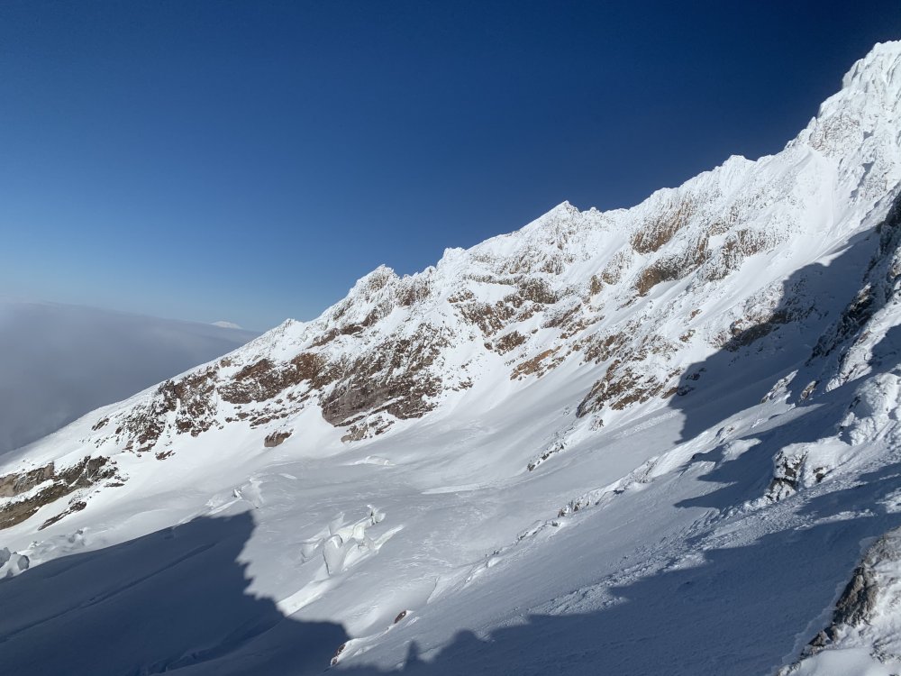
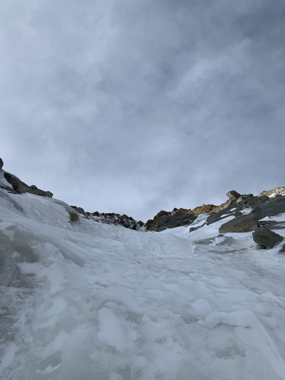
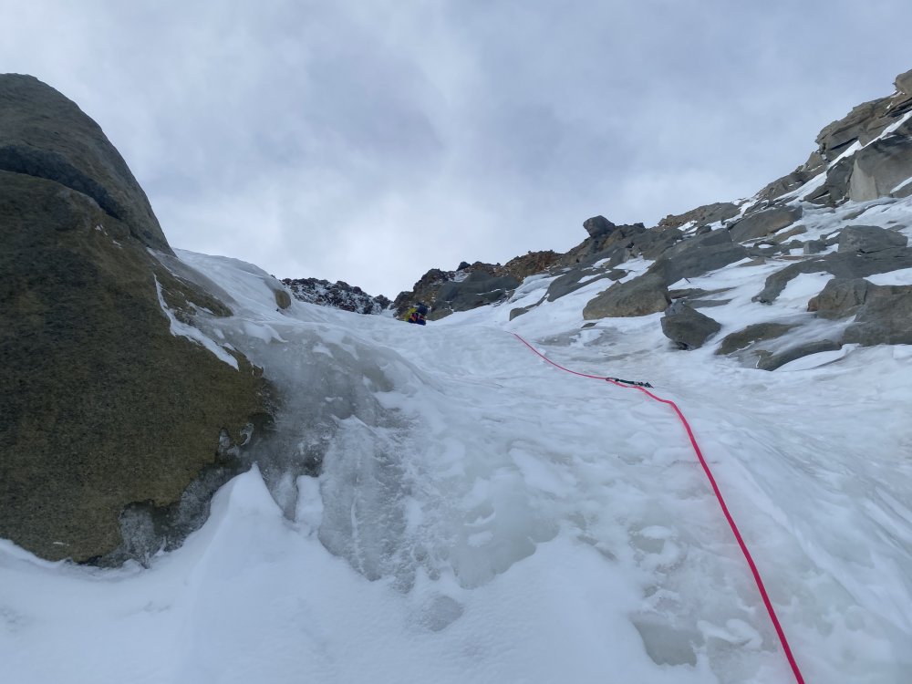
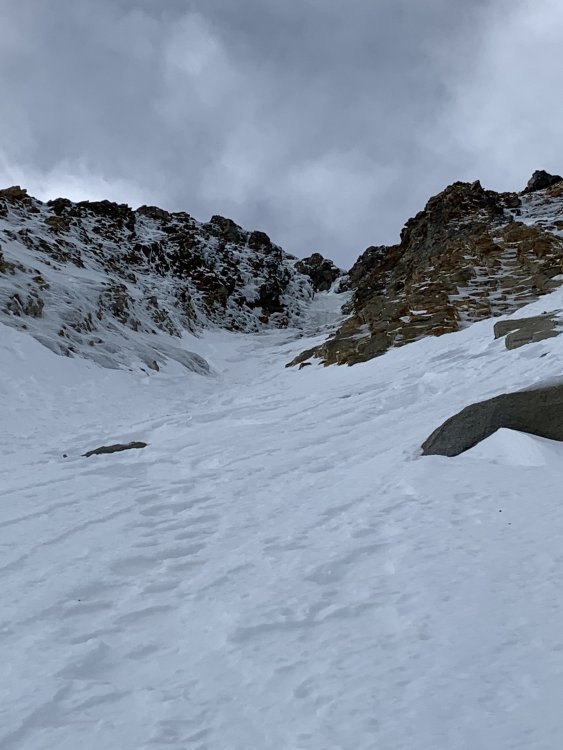
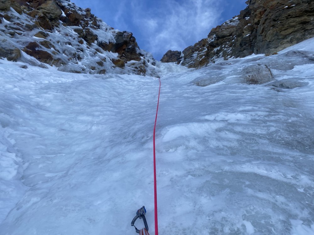
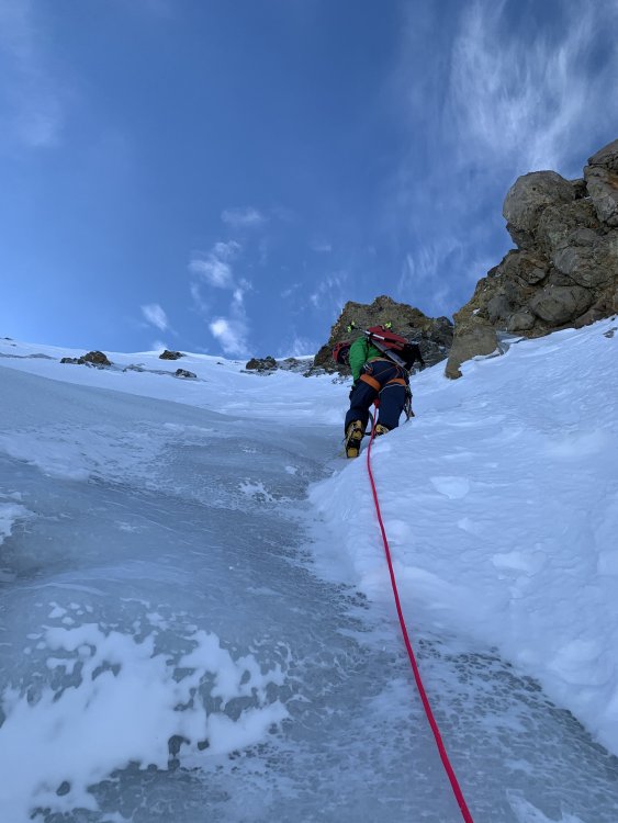
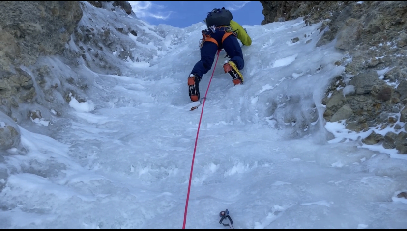
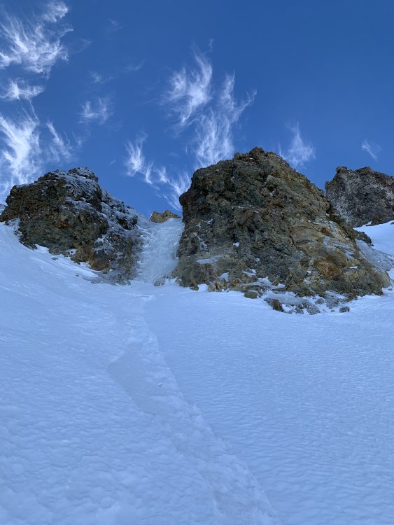
N. Face Left Gully: Climbed yesterday. Currently the best conditions that i have ever seen the N. Face left gully and completely different terrain than my other times climbing it. Ice almost the entire way up and 6 different steep ice steps, 2 of which you could bypass if you desired.(First 7 pictures) Reid HW: checked out last weekend. Knee deep snow slog to the base. Still just powder on that side of the mtn, not much ice or firm snow yet. (Picture 8-9) Black Spider: Currently the warm weather has melted most of the snow and the face is looking dry. A little ice forming on a few of the routes but not close to being ready for the season in my opinion. (Picture 10) DKH Var 1: As of last week it is dirty choss ice. Climbable but more of a rotten ice/dirt climb right now. (Last Picture) Hope this info helps anyone who is curious about the different aspects of the mtn. I will try to actually post about conditions every few weeks if people care to know what is in and what is not. s for anyone who is in1 point
-
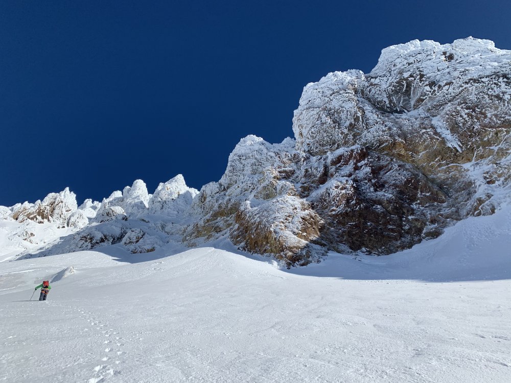
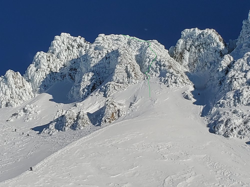
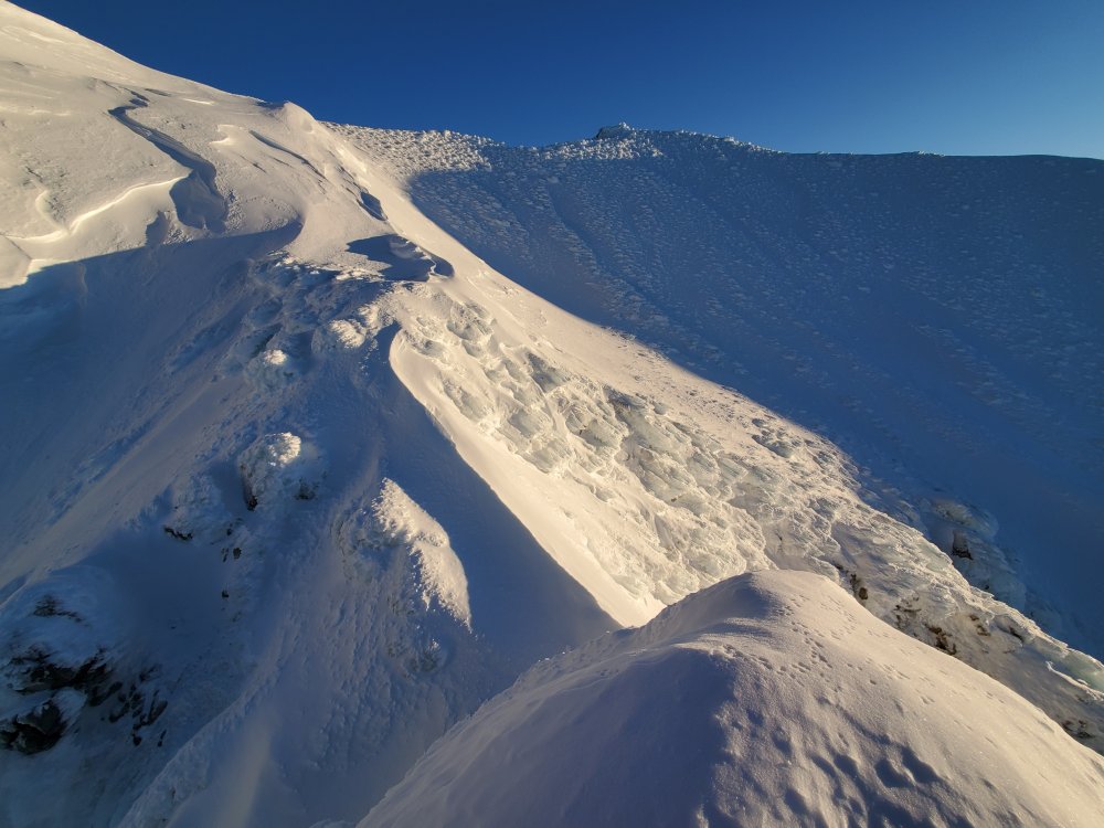
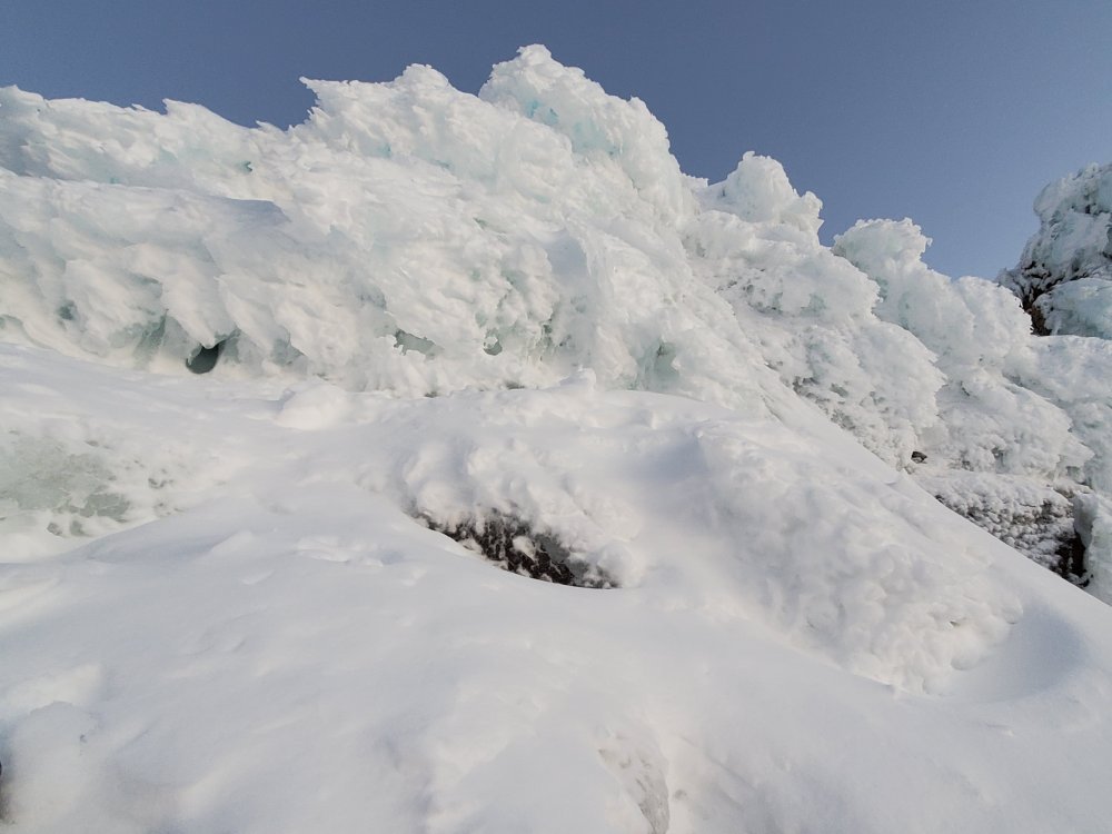
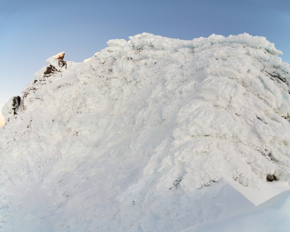
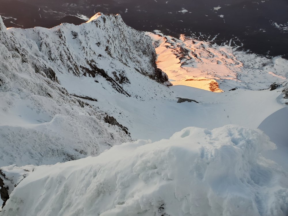
Trip: Mt Hood - Right Ridge of Icefall / Boy Scouts Chute Trip Date: 12/04/2020 Trip Report: Climbed up the rime encrusted rocks on the right ridge of the Icefall / Boy Scouts Chute. Tool and foot placements were difficult since there was little consolidated snow or hard ice. Most of the ice was rime on large rocks. The lower part of the route was the most difficult. More image here https://imgur.com/gallery/x2t3tMU Route: Some mid-route shots: About to top out: Gear Notes: Two tools, crampons, helmet Approach Notes: Walk up the chewed up cat tracks1 point
-
1 point
-
Trip: Cardinal, Emerald, Saska - Standards Trip Date: 06/27/2020 Trip Report: And this blast from the past brings us to June of 2020..... public lands are mostly open, with the exception of the National Parks. And @Trent and @ZakG decide it is finally time to branch out and go for the first overnight of our COVID season. Naturally, since it is June, the wet side lives up to its reputation and so we head east. Way east. It is a lot further over to the Entiat than I remember, but it does cut down on the masses. I think we only saw a handful of people all weekend, and plenty of space to stretch our legs and tick off a few more of the 100 highest. At this rate I might be done by the time I reach my full social security retirement age. But why rush? At this point I remember almost nothing about any of the routes we took, other than we didn't find any major obstacles. We generally looked at the map and followed our noses, ascending Cardinal the first day after setting up camp. The next day we went up Emerald, then stayed as high as we could over to Saska. We met a keen young man on the summit of Saska that was heading over to Pinnacle that same day. But we just took off our boots and enjoyed some time in the sun instead. It will have to wait for another trip. And, if we had been in a rush, we wouldn't have seen a golden eagle fly right under us along the North face of Saska (photo below). It was a good reminder that good things come to those who wait..... and to those that have their camera handy. Day 3 dawned cloudy with snow flurries, which rapidly intensified as we packed to leave with haste. Thankfully we were heading down and away from the worst of it and we didn't get too soaked or chilled. But it was another reminder that you often don't really know what is going to happen on these trips. Best be prepared! The hills are alive! Approaching camp (L) and ascending Cardinal (R) The three photos above are all on Cardinal Heading up Emerald with Saska behind (L), On Emerald near the summit (R) Looking back at Emerald from traverse to Saska On Saska with Cardinal above @Trent Summit views on Saska Golden Eagle on Saska. I emailed USFS wildlife biologists who work in this area and they say it is the first confirmed sighting in this part of the Cascades. Signing in to Saska. Please leave the registers up there, they are a great connection to our friends, some of whom are not with us any longer (RIP TJ). Heading down Saska Gear Notes: ice axe, crampon, helmet, fire. Approach Notes: North Fork Entiat Trail1 point


