Leaderboard
Popular Content
Showing content with the highest reputation on 05/30/18 in all areas
-
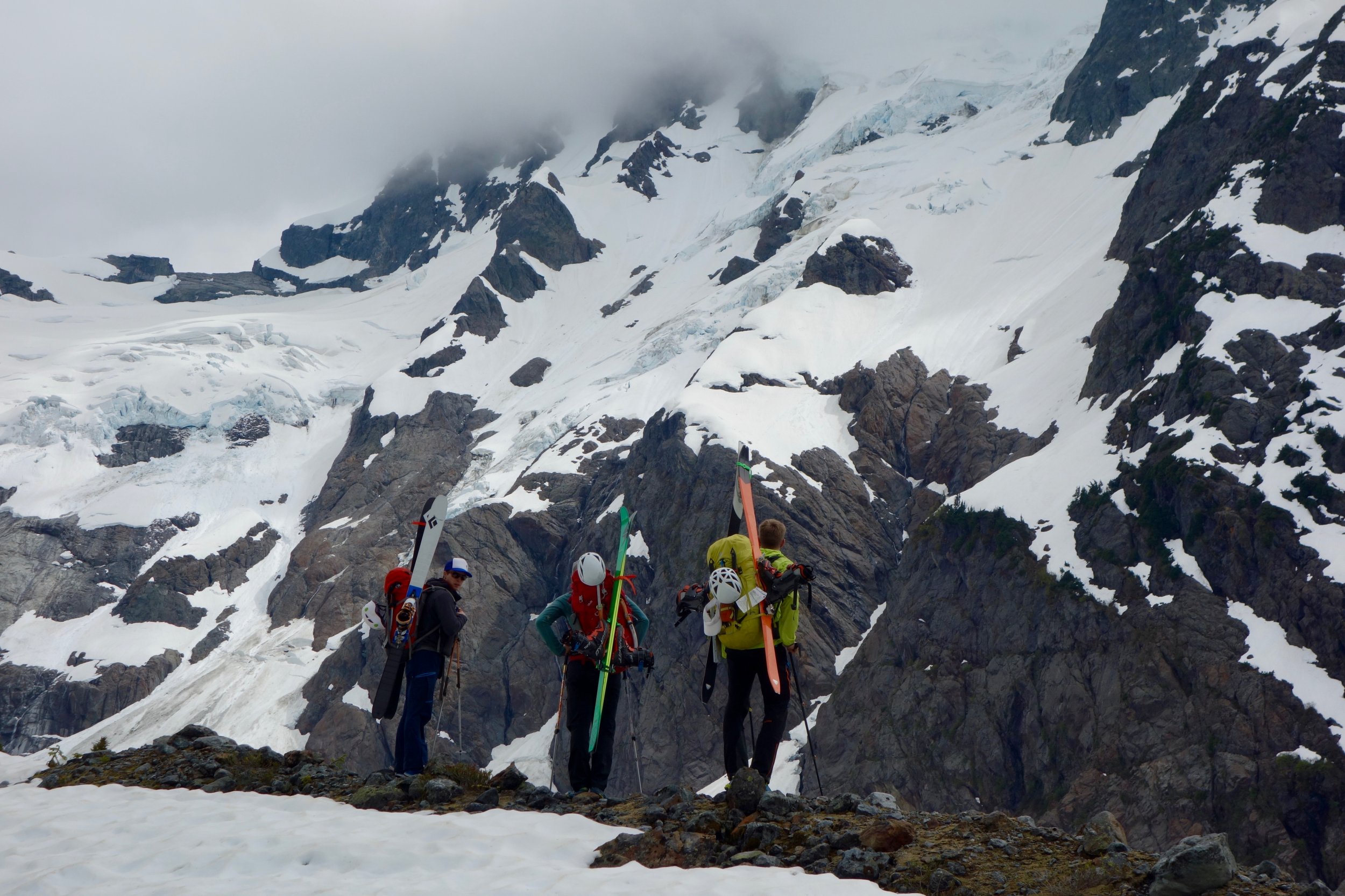
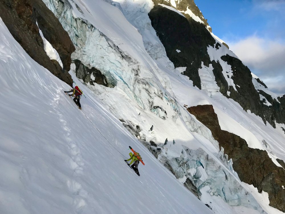
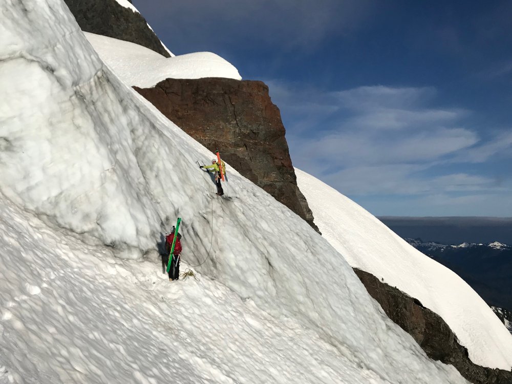
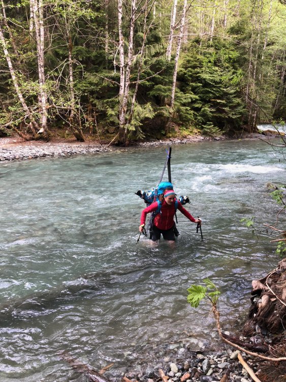
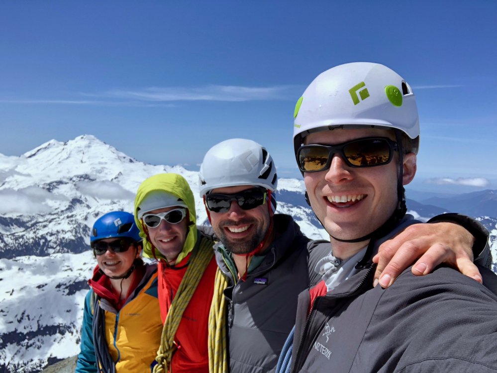
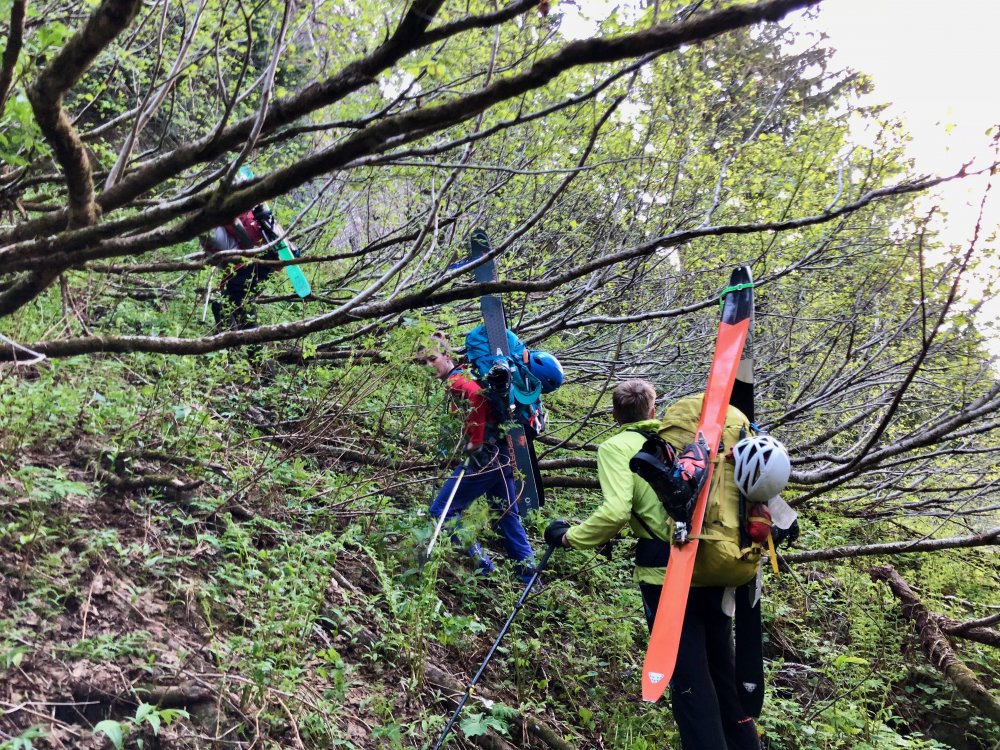
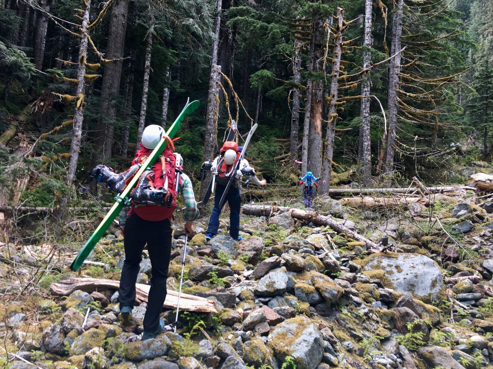
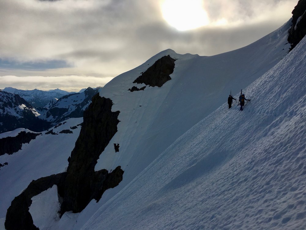
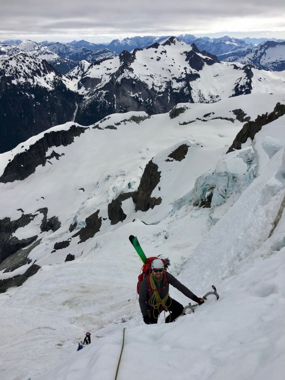
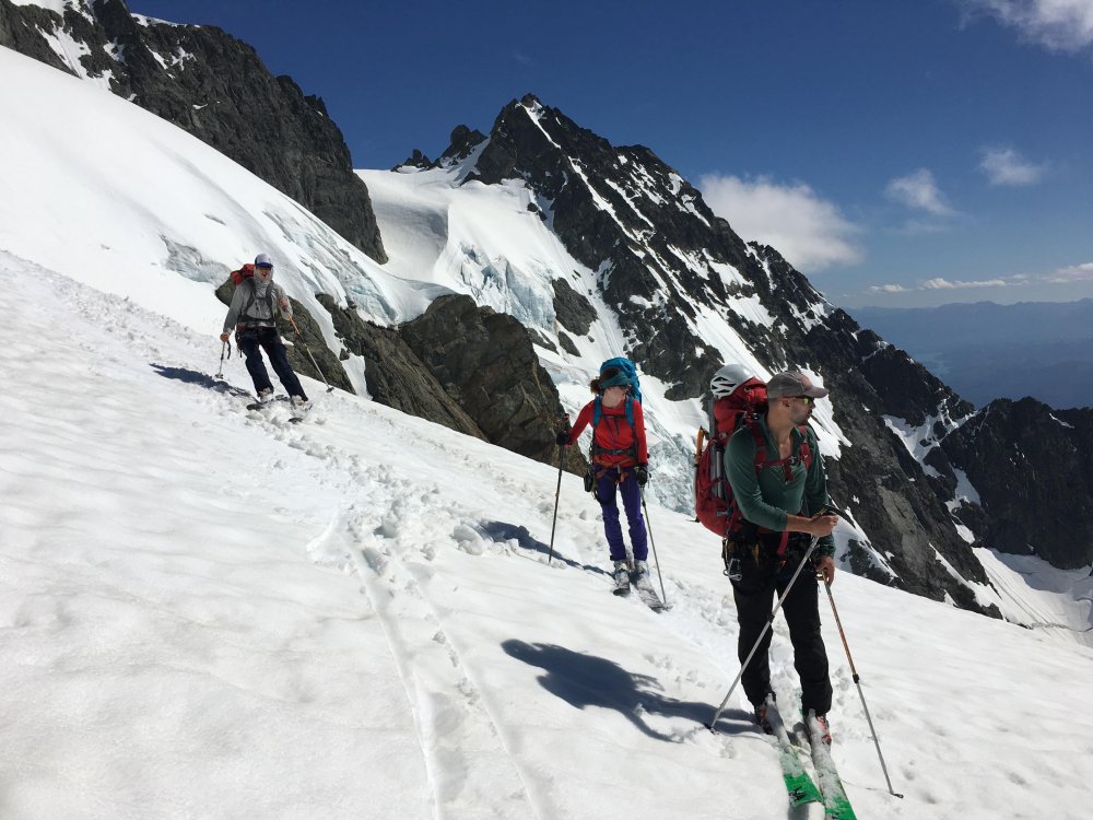
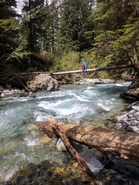
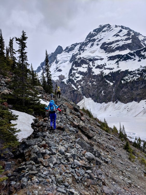
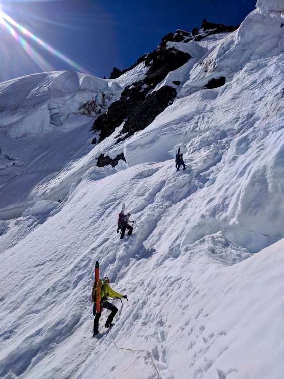
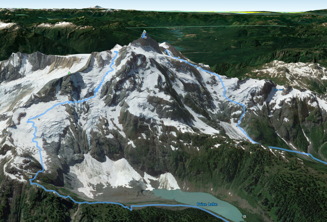
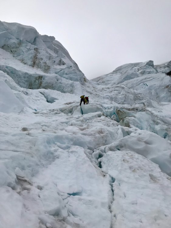
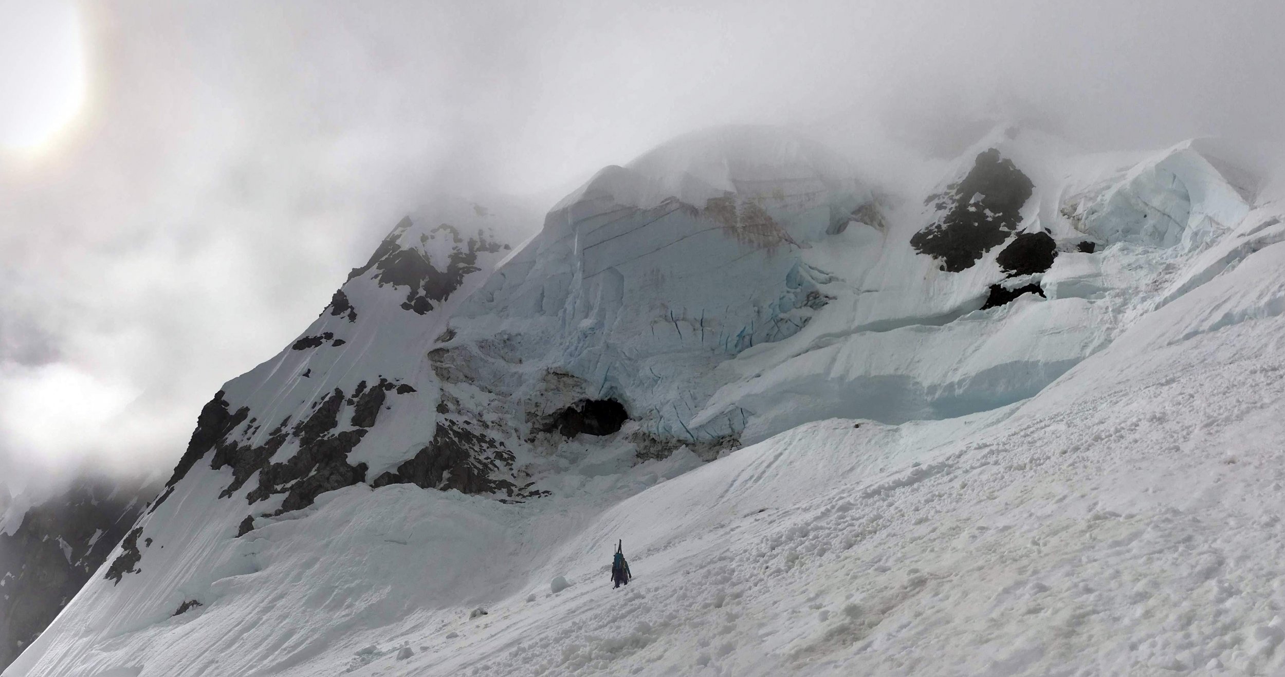
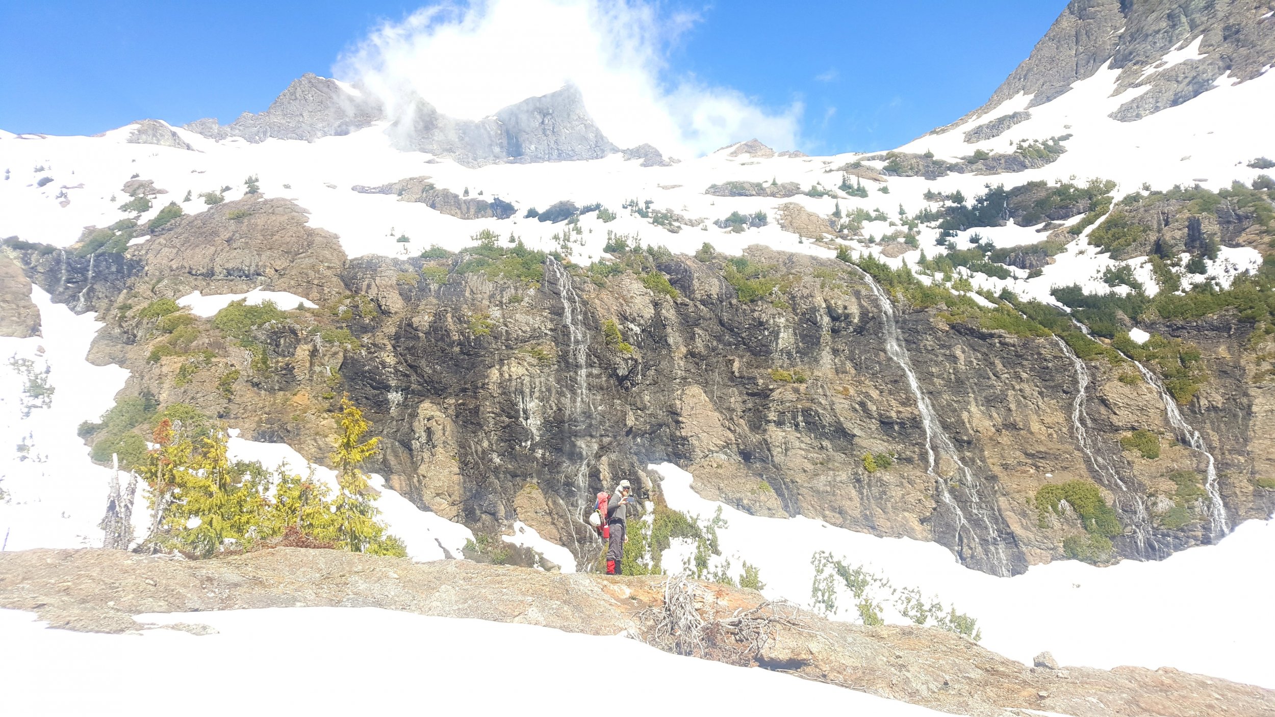
Trip: Mount Shuksan - Price Glacier Trip Date: 05/27/2018 Trip Report: A little more content is up on my site here: https://www.jeffreyjhebert.com/adventures/price-glacier-on-mount-shuksan The 50-classic Price Glacier on Shuksan had been high on my early summer alpine climb list for a number of years, but conditions, weather, and logistics hadn't yet aligned for an attempt. With Owen flying up to Seattle for a long weekend of climbing over Memorial Day weekend, it seemed like a worthy objective. During our research and planning, we were concerned that most trip reports had been from later in the season (typically July or even August), but it had been such an unseasonably warm spring that I figured the timetable was accelerated by roughly a month. I'd also been on Shuksan a few weeks earlier via the Sulphide and gotten a feel for the conditions. Our other concern was the recent wet slab activity on the persistent weak layer in the area (and even on the White Salmon—a similar aspect and at a lower angle) and the potential for warm temperatures and sunshine making the snow wet at best. About a week before, Eric decided to come up as well and we made it two parties of two on the adventure with Kelsey joining as well. We had a good group debate about the route selection as well as whether or not to bring skis—there was a good possibility of walking the skis in, carrying them while climbing technical ice in ski boots, and then 'schwacking them back out. In the end, we decided to do the Price and bring skis. Game on. We left Seattle on Saturday morning at 6:30am and stopped at the Ranger station in Glacier for our permit where we learned that the first log across Ruth Creek was out. Not the best way to start things off... We drove one car up to the gate just outside the White Salmon Ski Lodge parking lot and then headed down to the Nooksack Cirque Trailhead where we geared up and started off just shy of 11am. We immediately forded the river barefoot in shorts. It was invigorating, but not terrible. Just over an hour on the trail got us to a faint climber's trail heading down to the North Fork of the Nooksack. We followed flagging tape to the river and saw the famous log crossing upstream. After a nice lunch, we each shimmied across the log, which is nicely angled downhill and relatively smooth. Really well-set flagging tape marked the whole way up to Price Lake. We were expecting this portion of the approach to be pretty painful, so when we made it from the log crossing to the opening at Price Lake in only an hour and a half of pretty open, steep trail, we were pretty surprised and happy. We stuck to the moraine and started getting intimidating views of the mountain and Price itself, though a ceiling of clouds shrouded the top of the mountain and route. Kelsey fording Ruth Creek, the famous log crossing, and entering the trees on our way up to Price Lake After a ways up the moraine, we got onto consistent snow and decided to start skinning. At the first major rise on the ridge, we were worried that the snow wasn't continuous staying low as was suggested in some reports, so we headed up to the crest with skis on our backs again. This worked, but proved to be a bit of extra energy as we gained and lost some vert following the crest. At about 5,400 feet, we ran into a party of three also approaching for the Price, but without skis (we weren't expecting company on this route), and ended up following them across and down to gain the glacier at about 5,200 feet on what were likely rock slabs in the summer, but was continuous snow for us. After booting a ways, we switched back to skinning and went up to a nice flat area on the glacier at about 6,150 feet where we set up shop for the night after being on the move for about 7.5 hours. Ascending the moraine on the approach, catching our only views of the route before it got socked in for the rest of the day The cloud cover which had been covering the top of the route during the approach had slowly lowered during the afternoon and eventually socked in our campsite as well. Over dinner, we discussed our options and decision points in the morning. We also celebrated my birthday, including a pan of brownies with candles that Kelsey had hiked in. They were awesome! It was decided that we'd wake up at 3:30am and have a look. If we were still socked in, we'd snooze for an hour and then at least pack up and go to the saddle to see if it'd clear before bailing if we had to—none of us thought it wise to attempt the route in a whiteout after not being able to fully scope it out on the approach. At 3:30am, the sky was much clearer and, while there was a decent amount of cloud cover, it seemed like it'd go. We took our time packing up, hoping things would improve a little and knowing that the clouds would help keep the snow in better condition. We started moving at 5:30am and gained the saddle in 30 minutes from camp. We descended and traversed from the saddle, getting across some steep snow and broken ice to reach a patch of low-angled blue glacial ice that we'd scoped out during the approach as what seemed to be the path of least resistance. I took the ice pitch and had a lot of fun swinging the tools and plugging in screws. Traversing from the saddle to the ice step and going up the fun ice step From there, we traversed underneath some menacing ice cliffs and then decided an ice and snow gully going up and right looked like our best bet. It got us out of the direct objective hazard pretty quickly and was quite fun with mostly neve and some ice, protecting with an occasional screw when things got steeper. The gully continued up, across lots of broken terrain and through a series of steeper and gentler steps before depositing us on the upper glacier. We all breathed a momentary sigh of relief knowing that most of the danger and difficulty was behind us, with the key exception being the bergschrund. The steep snow and ice gully and getting close to the bergschrund Eric and Kelsey swung into the lead at this point, returning the favor of the boot pack and taking on the warming upper slopes. The clouds cleared and it got downright hot. We were really excited to see that the very left edge of the bergschund was sufficiently filled in to enable passage and let out some whoops as our line came into view and we knew we could get through the last bits before things got much warmer. A few switchbacks and steep snow got us onto the final slope to the saddle and then the saddle itself about 5 hours and 45 minutes from when we'd left camp at about 11:15am. Woo hoo! We regrouped briefly and then skinned around to the South side of the summit to get our last bit of steep snow done before things warmed further. The summit had baked out a lot since my trip up a few weeks earlier, but the gully was still mostly snow except for a few rock moves in the middle and then again at the top. We got to the summit at 1:30pm and took in the (thankfully) clear views of the range. The down-climb went smoothly and we clicked into our skis to begin our descent 9 hours after we'd started at 2:30pm. The turns were fun and pretty buttery down to and through Hell's Highway. We skinned up the Lower Curtis and then skied down to the camp above Whinnie's Slide, getting there at about 4:15pm. Summit! Skiing down the Upper Curtis Glacier on our way to the White Salmon We'd brought provisions to spend the night there, but were all pretty happy with the snow conditions to that point and knew we had lots of daylight left, so we decided to rest a bit there in the sun and then continue our descent. We left the camp area at 4:45pm and were down the whole White Salmon Glacier in less than 30 minutes, enjoying buttery snow the whole way, even on the wet slide debris lower down. The snow ended up being continuous and skiable all the way down to 3,150 feet, but we knew that there was some 'schwacking to be done from there on out. The 'schwack After refreshing ourselves with glacial melt and switching back to trail runners, we started battling the shrubbery. It wasn't too bad in the valley at first, but we never found the faint trail in the old timber and proceeded to battle slide alder, tight trees, and steep mossy slopes for about 1 hour and 45 minutes until we finally reached the road, exasperated but happy to be through the business. The cat track walk was quick and we reached the car shuttle with much-needed beers and snacks at 8:45pm, a little over 15 hours after we'd started. In my opinion, in the conditions we experienced, I can see why this route got the 50-classic nod. The Nooksack Cirque is gorgeous. The route is a very aesthetic and obvious line through steep, broken, glaciated terrain. Going point to point means traversing much of the mountain, regardless whether descending Fischer Chimneys or the White Salmon Glacier. There is some objective hazard on the route and it's clear that conditions can vary widely, making this a tough one to get just right. Thankfully, it seems that we did! Our track up and down the mountain Gear Notes: Brought 6 screws, 2 pickets, 4 cams, 3 pins, and a small set of nuts. Used 4 screws and 1 picket. Carried skis and lucked out with the amount we were able to skin and ski. Approach Notes: First log across Ruth Creek is out, requiring a ford. Pink and orange flagging tape mark the way off the trail, across the North Fork of the Nooksack, and up to Price Lake2 points
-
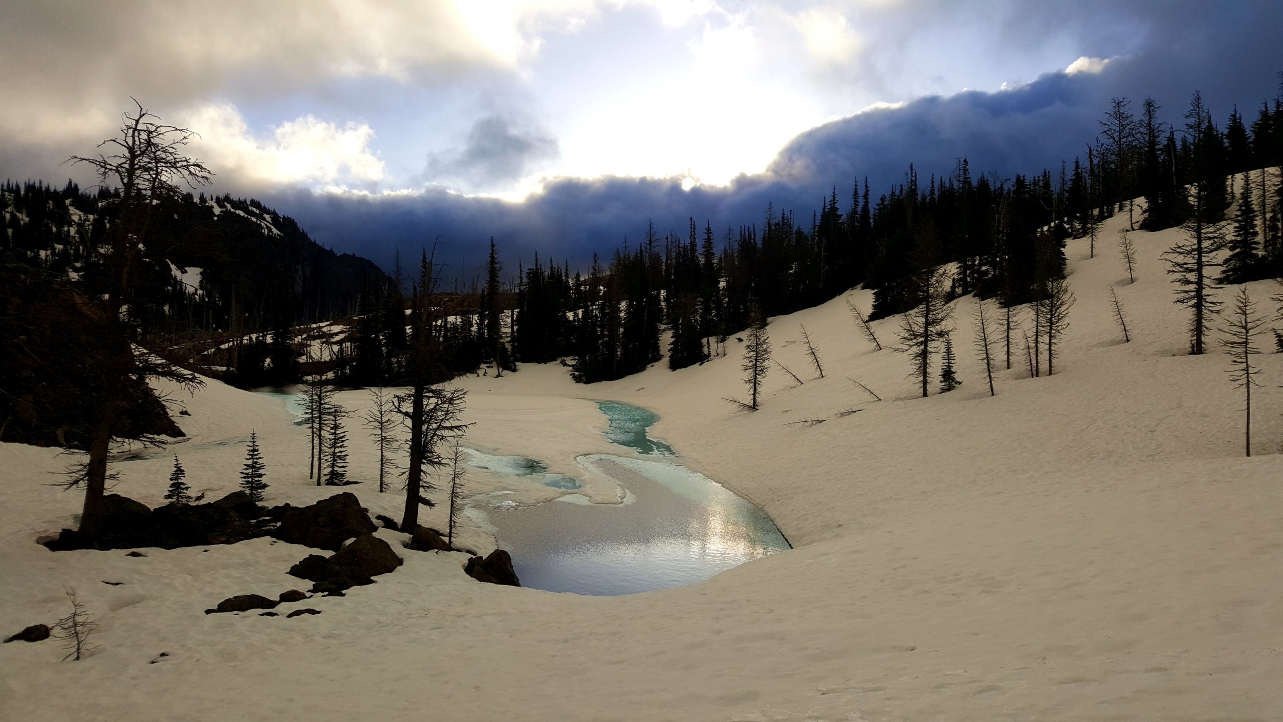
Trip: Nesakwatch Spires - SW ridge North spire Trip Date: 05/27/2018 Trip Report: Thanks to G-Spotter's Slesse Conditions report from two weeks ago, Tess and I were inspired to skip the Squamish crowds and go check out the Nesakwatch spires over the long (for us Americans) weekend. On Saturday morning we made the surprisingly easy drive in to the valley after nearly being sent to secondary for trying to take an apple over the border. Thanks to my mediocre off roading skills we almost got stuck twice in the first washout we hit along the road, but Zoe the 2011 forester pulled through. Not wanting to get stuck in the next real washout we opted for the road walk instead. The washout in question. From there the road is pretty manageable all the way to the actual bad washout. Which lasts for about a quarter mile and would need a pretty serious rig to navigate. There were fresh tire tracks so clearly it is not impossible. This new signage is pretty sweet, though i'm not sure it's totally necessary. After the road walking the trail pretty much just goes straight up. The trail was pretty much snow free up to the base of the rock wall at 5100ft. Tennies were really nice up to that point. Two guys were working on a new line on the rock wall below the spires. If anyone knows them I'm curious to hear how the route turned out. The snow made for very easy travel through the boulder fields. And it also made camping much much easier. The Bivy boulder is almost completely snow free but we didn't find it until we had already set up camp. So we used this boulder instead. The clouds gave quite the show on Saturday night, nothing beats this view. We woke up to grey skies and a cold wind so decided to wait a bit in hopes that things would warm up a bit And warm up it did. The splitter headwall cracks. Felt like easy 5.8 to me. Wish they had been longer. Summit! There was quite a bit of snow sticking around on the NE faces and some decided to rip loose from the ridge in the left of this picture. In order to avoid steep rotten snow on the standard descent we found a rap route down the S face. This particular station was a little cramped. There is still a lot of snow up there but that shouldn't discourage anyone from making the trek. Most of the easy routes appear to be holding a lot of snow but the steeper stuff like Dairyland looked to be in great shape. Go out and get it folks! Gear Notes: 2x .4-2 1x 3,4 nuts Boots & axe may be nice but no need for crampons Approach Notes: Tennies up to the rock wall (5100ft) Boots the rest of the way. Washouts at 2.3mi and 3.3mi depending on your vehicle.1 point
-
Trip: Mt. Rainier - Sunset Ridge Trip Date: 05/25/2018 Trip Report: Geezers on the Go or Fading into Sunset Ridge. Having done routes from Carbon River, White River, and Paradise I have always wanted to do a west side route. Two of my partners from many years joined in on the fun. The average age was 62 with a combined over 120 years in the hills. We did the usual hike from the West Side Road via the no longer maintained Tahoma Creek trail. From the along Emerald Ridge which we never saw cause we ascend into the clouds we gained the terminus of the Tahoma and crossed it somewhere. Eventually we broke out of the clouds and camped below Puyallup Cleaver at around 6800 feet. In the morning we gained the cleaver and followed it to around 8500 at which point we bailed left and crossed until the South Mowich. We roped up but the crossing was very straight forward and we headed up initial lower slope to 9500 feet. At this point there is a bergshrund across the whole of the lower apron/ridge. We crossed more to the left. Again straight forward but sloppy snow. We bivied at the bergshrund. The next morning hoping to have an overnight freeze which did not occurred we launched upwards. The climbing was at around 45 degrees. The higher up the firmer the snow got. We pretty much side stepped the vast majority of the route. We stayed mostly to the climbers left and found several places to rest. Including one great spot with 60-70 foot high conglomerate walls just waiting to pitch bowling ball sized rocks down. From here a few hundred feet more of climbing and we gained the ridge proper and had great views of Sunset Amphitheater. Until this point we had climbed roped or unroped sans any gear. Once on the ridge proper we followed it until we need to down climb around a short 30 foot section of bare rock (by passed via snow). This lead to the finial pinnacle which forces one out on to the Mowich Face. Here again the climbing was straight forward we stayed more climbers right (two pitches), traversed left (~one pitch), then gained the ridge (~one pitch). Overall 45-55 degree climbing with pickets. My one partner did most all of the leading, my excuse for not contributing was being tired having climbed S. Sister a few days before. Our other partner is just a geezer. After that we traversed the ridge to Liberty Cap which was good fun cause we could see where in the past we had topped on either the Central or North Mowich headwalls, Ptarmigan (including an infamous bivy), Liberty and Curtis Ridge. So it was a bit of nostalgia for all. Especially for me since Sunset Ridge was my 10th different route on the hill and exactly 35 years to the weekend since my first attempt on Rainier. Overall conditions were a bit soft at the mid elevations. The approach was manageable even in the clouds. Route finding was straigtforward. On the other hand, we slept warm - including the last night less than 100 feet below Columbia Cap. I'll add some photos soon. Oh, being from out of the area we stayed at Gateway Inn and Cabins which is right before the Park entrance before and after our climb. The folks are very accommodating so I'll give them a plug. Gear Notes: 3 Pickets and 3 screws (the later not used). Two tools 60cm axe and 50 cm hammer. Approach Notes: West Side Road via Tahoma Creek1 point
-
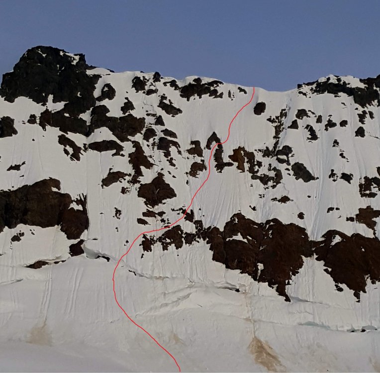
Trip: Jack Mountain & Crater Mountain - NohokOmeen Headwall & South Ridge Trip Date: 05/26/2018 Trip Report: Fred and I had amazing plans for a (for us) heroic trip... The Great Jack Off. Along the East Bank Trail, up the Nohokomeen Headwall of Jack, down the south face, with Crater to boot. The trip reports we read from the party on the Nohokomeen on the 12th helped with the scant beta a lot, thanks! This route isn't even in Beckey if you can believe it! For purity of the trip we hiked car-to-car the loop starting from the East Bank Trailhead at Panther Creek. Other reports have enough info on the approach I figure so I'll keep it to the basics. Not much brush - none really by Cascades standards; the hillside to gain the May Creek Basin was brutal though. We pushed on and camped at about 7600' on the Nohokomeen Glacier. This made it about 12 miles and 7100' vert of gain on day 1... whew! Forest uphill from the East Bank Trail: Our first view of the headwall from near the toe of the glacier was not encouraging, but we knew we had to take a look at least. Headwall from camp: Hozomeen from camp: It got cold that night, there was frost on the tent and the snow was very solid. We left camp at 0600 and had only a short walk to the base of the wall. We found a route up, over a bridge in the 'schrund and through the manky rocks. My calves were killing me so Fred led the whole wall both of us soloing. It felt steep! It's amazing how the slope changes when the snow is frozen and you can only get front points or an inch of boot at the most. It was definitely about 600' of "don't look down" terrain for me. Softer snow would have mage it a lot more secure and easier, but we made it. Approximate route, it looks like a lot more traversing than it felt like. Maybe it's just perspective: We were on the summit by 0800 I think. It was breezy but not bad. We were worried the downclimb on the south face would be too solid so we waited around for a while identifying peaks and enjoying being off our feet. Down climbing the much softer snow on the south face was a piece of cake after the Nohokomeen; until we got to the cliff band at about 8000'. We didn't know the route and had only a 30m rope so it took some looking but we nailed it. We did two 15m rappels off a crappy loose boulder with like 10 pieces of tat on it down onto snow again where we could traverse out to easy ground on the SE ridge. We took a loooong lunch break and rested our brains in the warm sun. Basically all the ground from there until 4800' on the Crater Mountain Trail was snow covered with the exception of the Crater scramble section. We camped at Jerry Lakes early on day two and had a leisurely afternoon. Day three was a tame snow walk and easy 3rd class scramble up Crater and a slog out down the trail and along Ruby Creek to the car. We could have hitchhiked the last 3 miles or so but we are purist and completed the loop - my shoulders were pissed. Tarn near Jerry Lakes camp: Lake and waterfalls below Crater Mountain. We gained the trail shortly after here: Maybe Fred will post some more photos, he was a lot better about taking them than I was. Gear Notes: 30m rope glacier gear 2 axes aluminum crampons trail shoes celebratory brandy Approach Notes: All the trails in the lowland were in good shape, a bit of blowdown on the Crater Mountain trail. Lots of creek crossings, all dry on the East Bank Trail, one ford on the Crater Mountain Trail. Crews were out working on the trail near Granite Creek.1 point
-
Wow, nice work, gentlemen! Very inspiring. I'm glad to see other routes getting tracks other than the usual suspects. When my wife and I met you on Liberty Cap, we definitely felt way less hardcore after climbing Liberty Ridge and heard you just came up Sunset!1 point
-
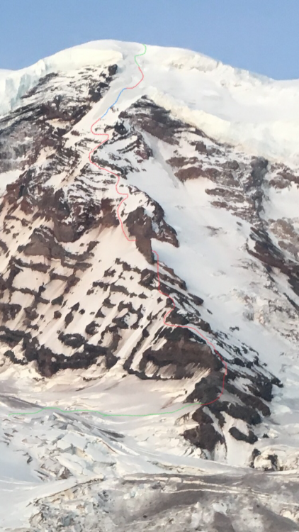
Trip: Mt Rainer - Liberty Ridge Trip Date: 05/26/2018 Trip Report: Sam and I completed Liberty Ridge this weekend. We had fabulous weather and a great time. I hope some of this info helps anyone. Stay safe and have fun. Day 1 - Thursday 5/24 Left car at 9:30a, warm sunny day Post-holing from snow by glacier basin to Elmo’s Pass, would recommend taking the summer trail as long as possible Winthrop Glacier straightforward except for far (western) side where there were crevasses next to piles of frozen dirt We camped on dirt at 7420ft on Curtis Ridge, good overlook onto Carbon Glacier and view of Liberty Ridge. Room for maybe 5 tents Day 2 - Friday 5/25 Left camp at 6:30a, also warm and sunny, freezing level was at around 10,500ft the night before Walked down the ridge to first obvious weakness at about 7200ft, looking up after doing this we saw a good place to go down about 100ft higher. There was a single tent platform on dirt at about 7180ft just before you get on the snow Lower Carbon Glacier was firm and easy to navigate, even though it looked intimidating from Curtis Ridge We were aiming to get onto the ridge low on the left (east) side and were able to go pretty much straight for it. There were a couple of sketchy snow bridges just after the first steep section at around 8200ft We got on the ridge at 8820ft with about a 60ft section of steep, loose rock. We both soloed this and it was pretty scary. We also kicked off a lot of rock onto both sides of the ridge crest, the party behind gave us a good bit of room. We went on both sides of the ridge near the crest until Thumb Rock, sometimes on rock, sometimes on snow. We did two more steep, loose rock steps. There was a little firm snow in the shade and lots of knee to waist post-holing. We should have gotten an earlier start on this day so the steep snow would have been a little firmer. Thumb Rock camp at 10,500ft. Got there at 1:15p. Camped on snow but had a nice rock perch to sit and cook. Plenty of room for us and the six other people behind us on route. If I were to do this again under the same conditions I would attempt to gain the ridge from the right side and go up the snow slope entirely on the right side to Thumb Rock. This would avoid the loose rock sections on the ridge proper at the cost of more crevasse navigation on the upper Carbon Glacier and maybe a bergschrund to deal with. I can’t confirm that it goes that way though, and the two parties behind us followed our lead up the left side. Sam didn’t mind the loose rock as much as I did however... Day 3 - Saturday 5/26 Left camp at 3:15am, clear night, freezing level at 9500ft Nice firm snow going up left from Thumb Rock, the ice pitch we read about was not in There was about a 15ft 35deg dirt covered ice traverse near 11,800ft (I think), this might be avoided by climbing down under it We roped up to the right of the big tongue of ice visible from camp. We climbed one 50m snow pitch with ice steps, 3 50m ice pitches (the first of which was the steepest and most sustained, maybe up to 50deg), then one more snow pitch with ice steps. It might have been possible to traverse further right to the top of the black pyramid below where we roped up to avoid much of the ice. Not sure what the conditions are that way, there was a lot of ice just beneath the snow in this area so even if it looks like snow it might climb like ice. We had six ice screws, two for the anchor, one 20ft up, another at half a rope length, and two more for the next anchor. I took both our technical tools for the lead and my partner followed with two hybrid axes. This worked good for us. We walked the obvious snow bridges through the bergschrund, then cut right at the first choice. This took us up about a 15ft section of maybe 70deg snow to a snow bridge crossing (which we belayed) of a crevasse and onto mellower ground We ended up soloing all of the ridge except the 250m of ice and the bergschrund up top Easy walking to the summit of Liberty Cap, then down and up to the summit of Columbia Crest at 2:40p Straightforward following the boot pack down the Emmons Glacier to Camp Schurman. It was windy and overcast for us at this point so all the way down the mountain until 7000ft was breakable crust. No glissading down the interglacier Gear Notes: 55m rope 6 screws 3 pickets (only used to anchor tent) 2 technical tools (Cassin All-Mtn) 2 hybrid axes (BD Venom) Stove / tent / sleep system / etc. Approach Notes: See trip report This picture was taken from Curtis Ridge Friday 5/25 morning. It shows our approximate route up the ridge. Green is roped together for crevasse risk, Red was unroped, and blue is pitched out ice climbing. Climbing the ice1 point
-
The original 911 call didn't convey the urgent need for heli evac because, at the admission of the caller, they didn't appreciate how serious the situation was. It's unclear if a faster response could have changed the outcome. What counts is not time to helicopter but time to surgery if there is internal bleeding pressing on vital organs. See below. A friend's son was crew on a private boat in SE Alaska. They stopped and everyone went for a short hike. He apparently slipped and fell about 20 feet while trying to take a leak on a steep section. He became increasingly short of breath during the hike back and collapsed and lost consciousness upon arrival at the boat. He died. Autopsy revealed that he'd had a bleed into the pericardium in what's known as Cardiac tamponade. In simpler terms, blood or fluid in the sac around the heart compresses the heart and it stops beating. I suspect that, or something similar, is what happened to this poor young man on Hood. @glassgowkiss I agree with #1. #2 would be great if there were funding and expertise to pull it off. Rescue in the US is run by law enforcement (County Sheriff's Office) with support from volunteers, military, and sometimes specially trained staff as in North Cascades or Mt Rainier or Yosemite. A 2 hour delay to a road accident response is unreasonable. But what about 45 minutes if there is bad traffic, or you're in a rural site, or your accident has been put on low priority because the initial call didn't indicate that it warranted the most urgent response and the response team was at another accident? Defining what is reasonable is not always easy.1 point


