-
Posts
5062 -
Joined
-
Days Won
287
JasonG last won the day on January 22
JasonG had the most liked content!
About JasonG
- Birthday 12/30/1974
Converted
-
Occupation
Fisheries Biologist
-
Location
Mount Vernon
Recent Profile Visitors
The recent visitors block is disabled and is not being shown to other users.
JasonG's Achievements
-
Petition to restore mid-week access to Mt Rainier
JasonG replied to olyclimber's topic in Climber's Board
-
Petition to restore mid-week access to Mt Rainier
JasonG replied to olyclimber's topic in Climber's Board
Amen brother! [this was an illegal (and awesome) luge run , even back a few years ago, but that was when it was easier to blend in at the parking lot with the regular snowplay area open] -
[TR] Long Mountain - West Route via Marten Creek 01/18/2025
JasonG replied to JasonG's topic in North Cascades
@cfire loves snowshoes more than most, but we couldn't find a reason to bring them along. Maybe next time! -
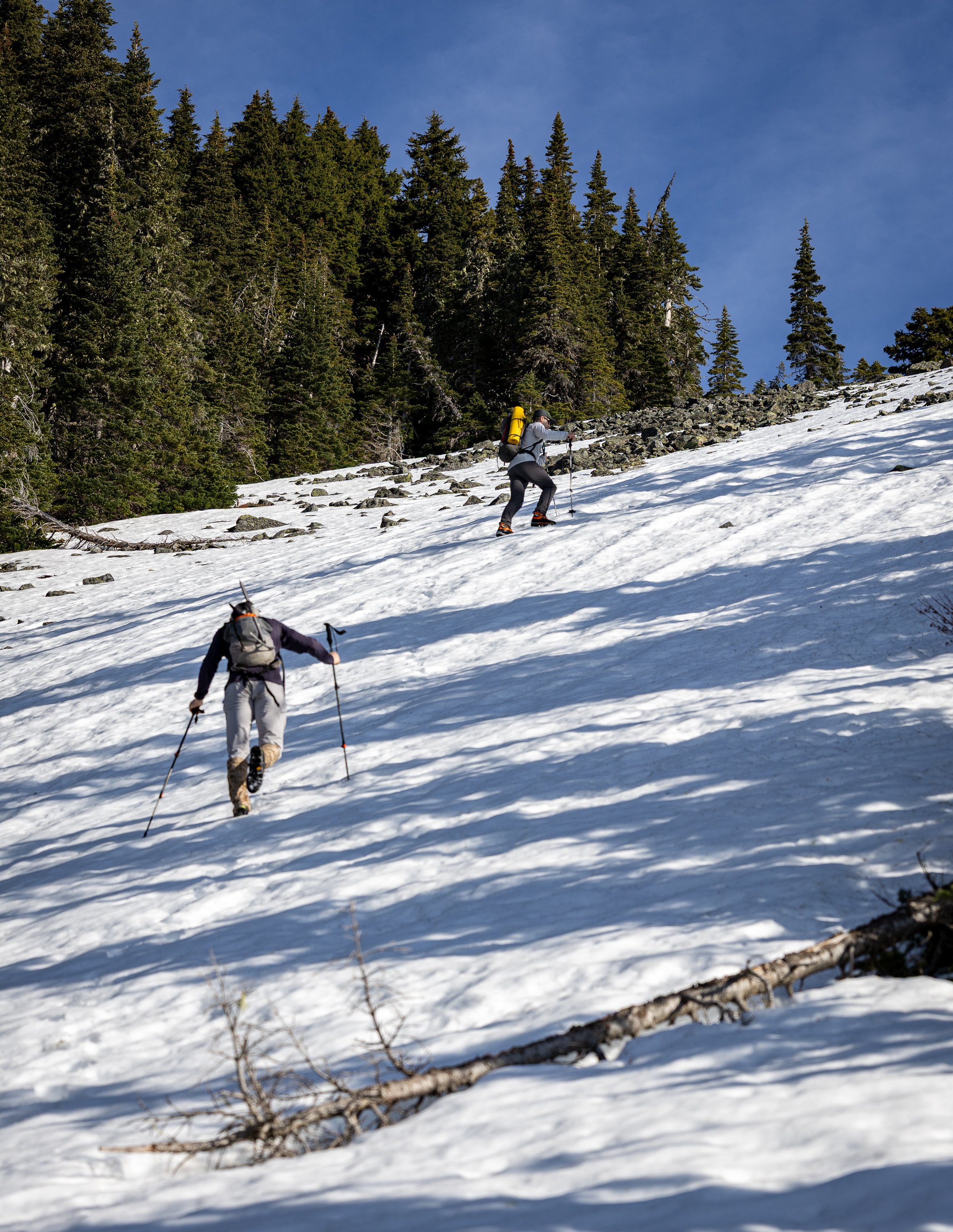
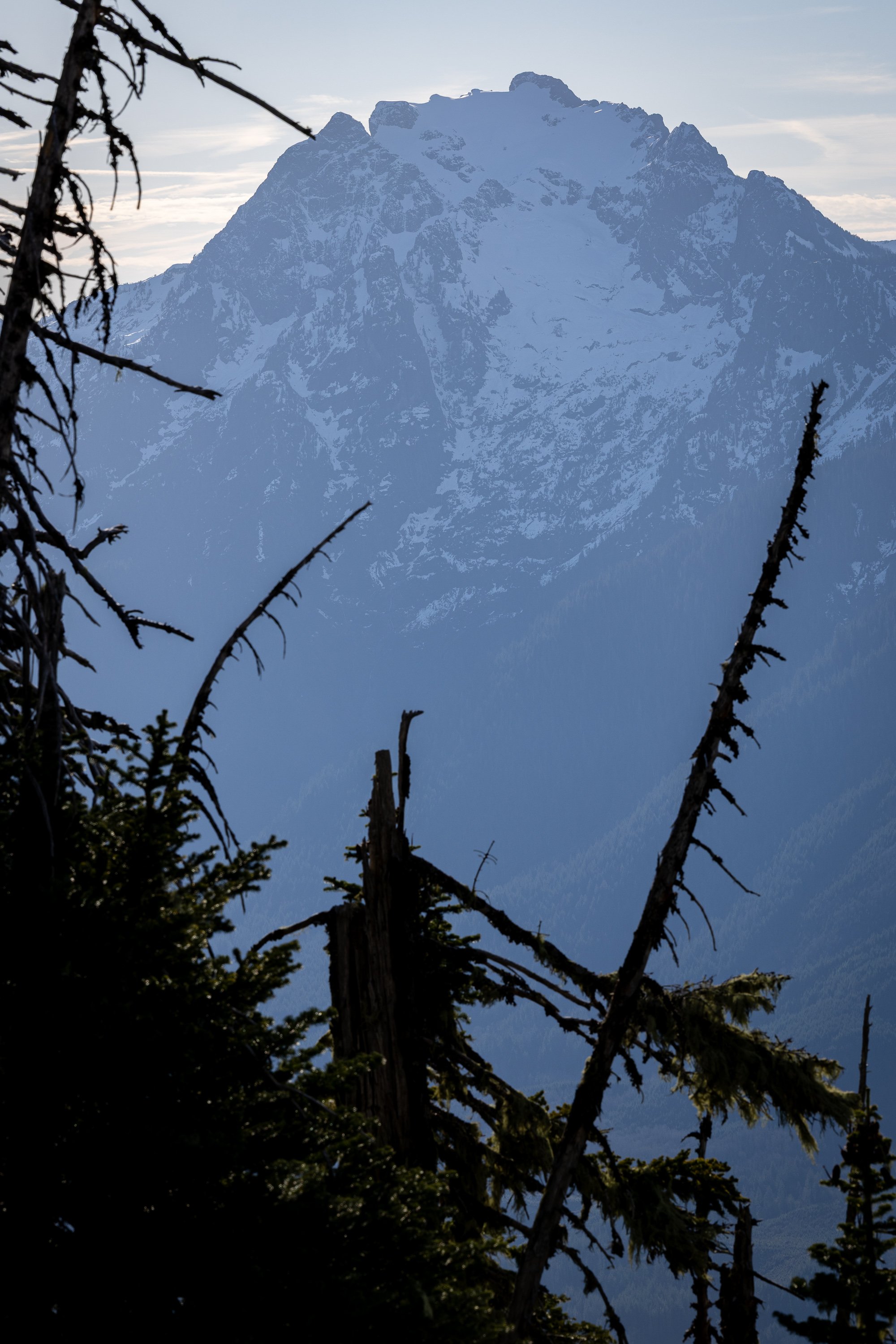
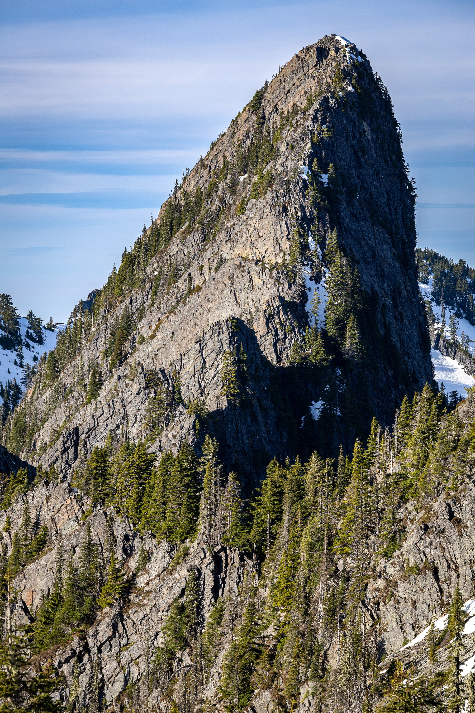
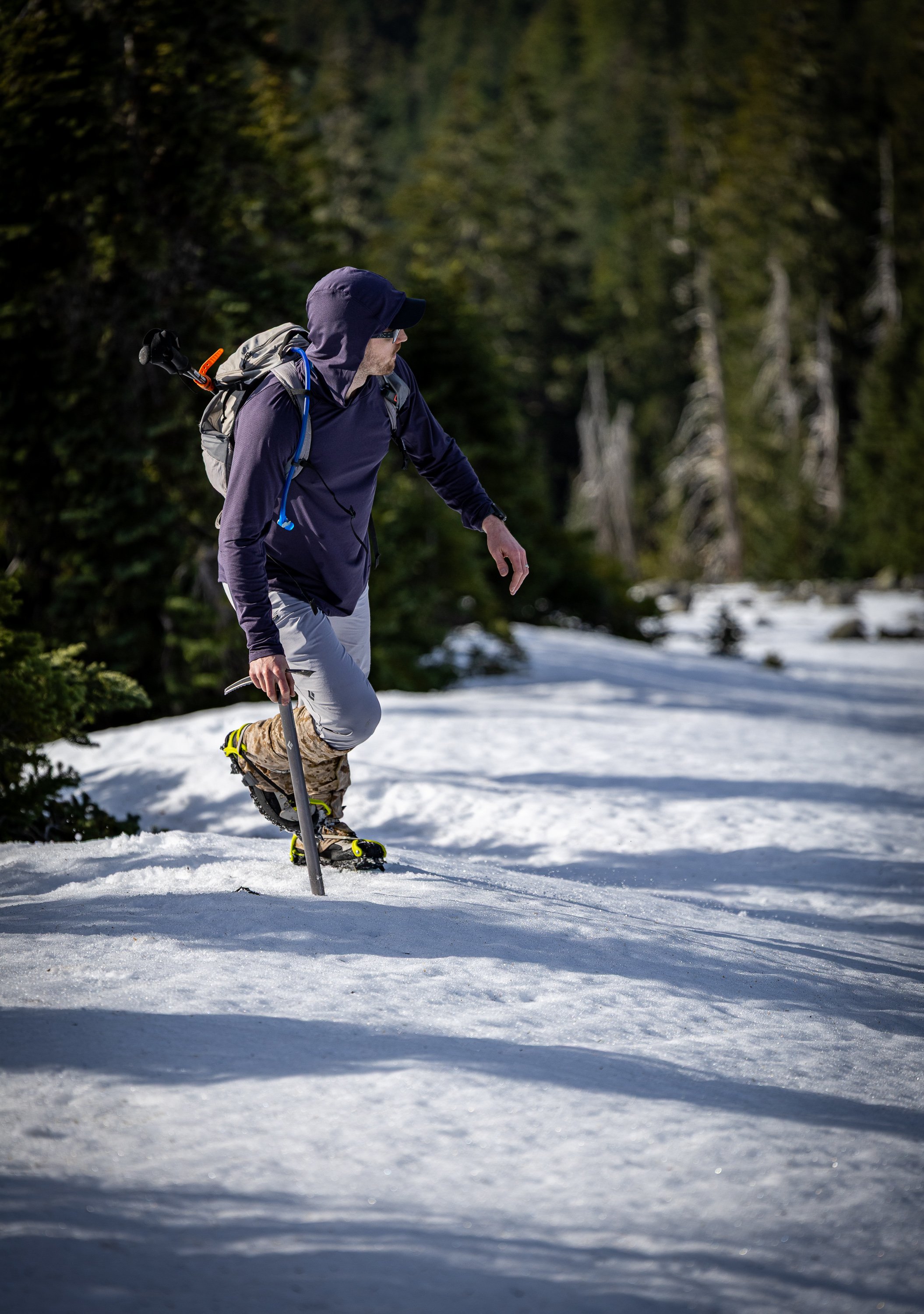
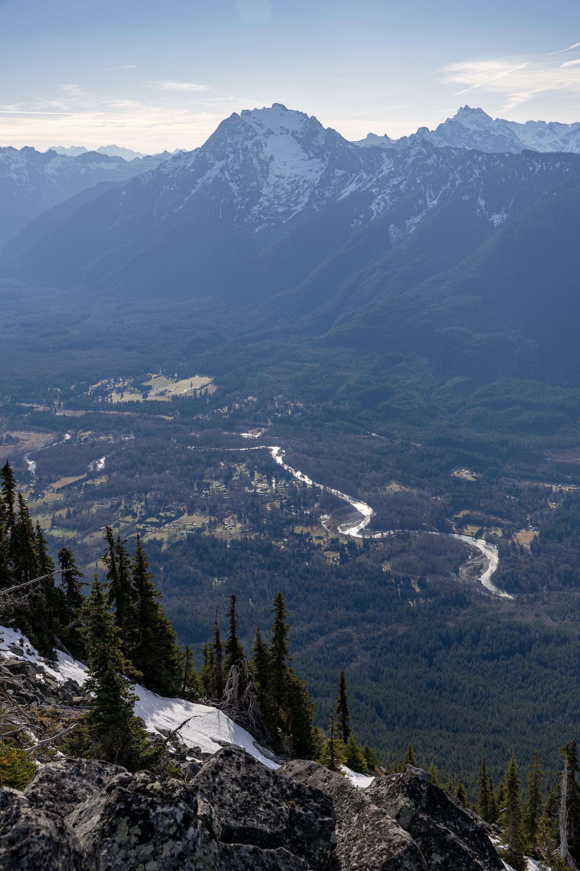
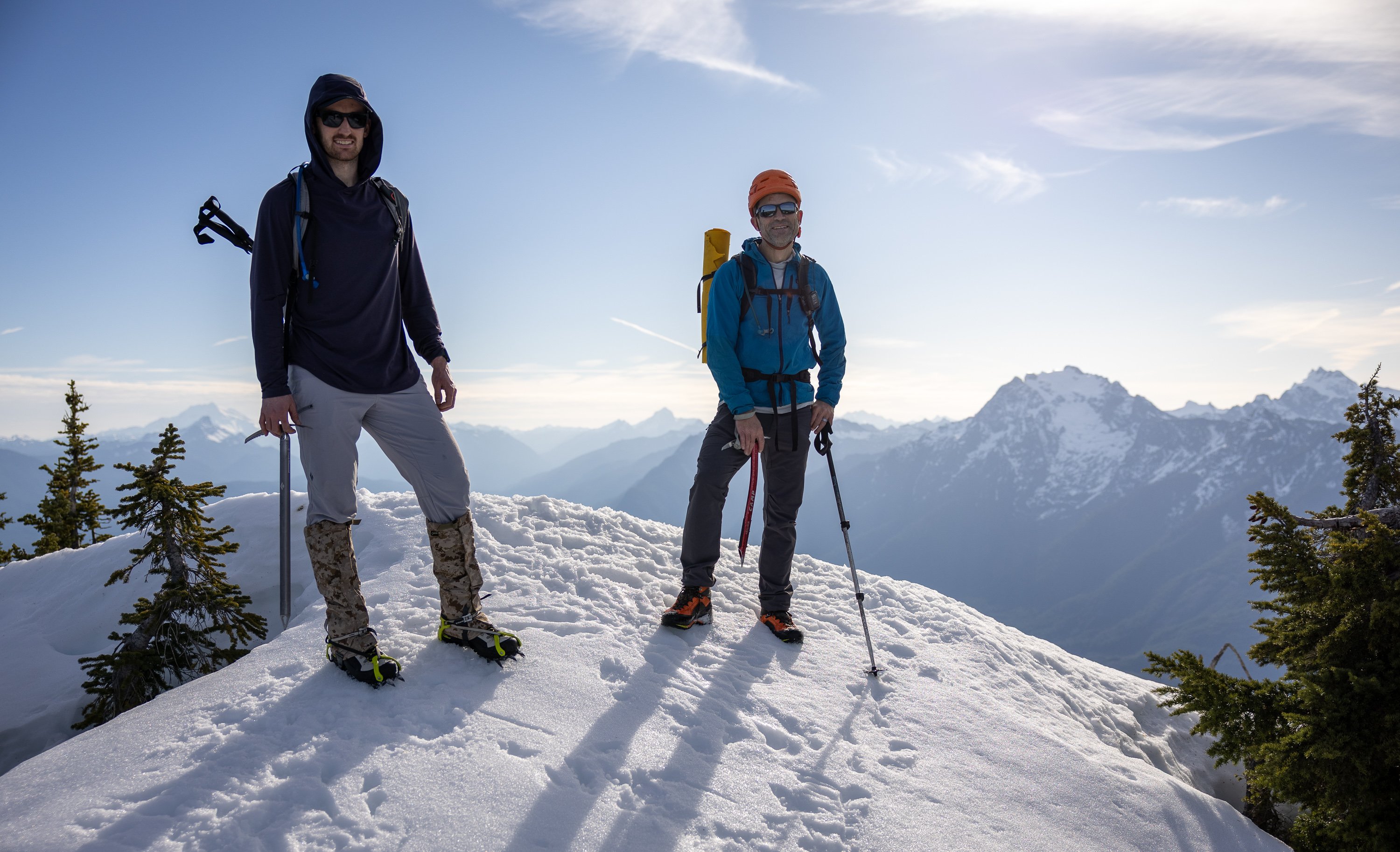
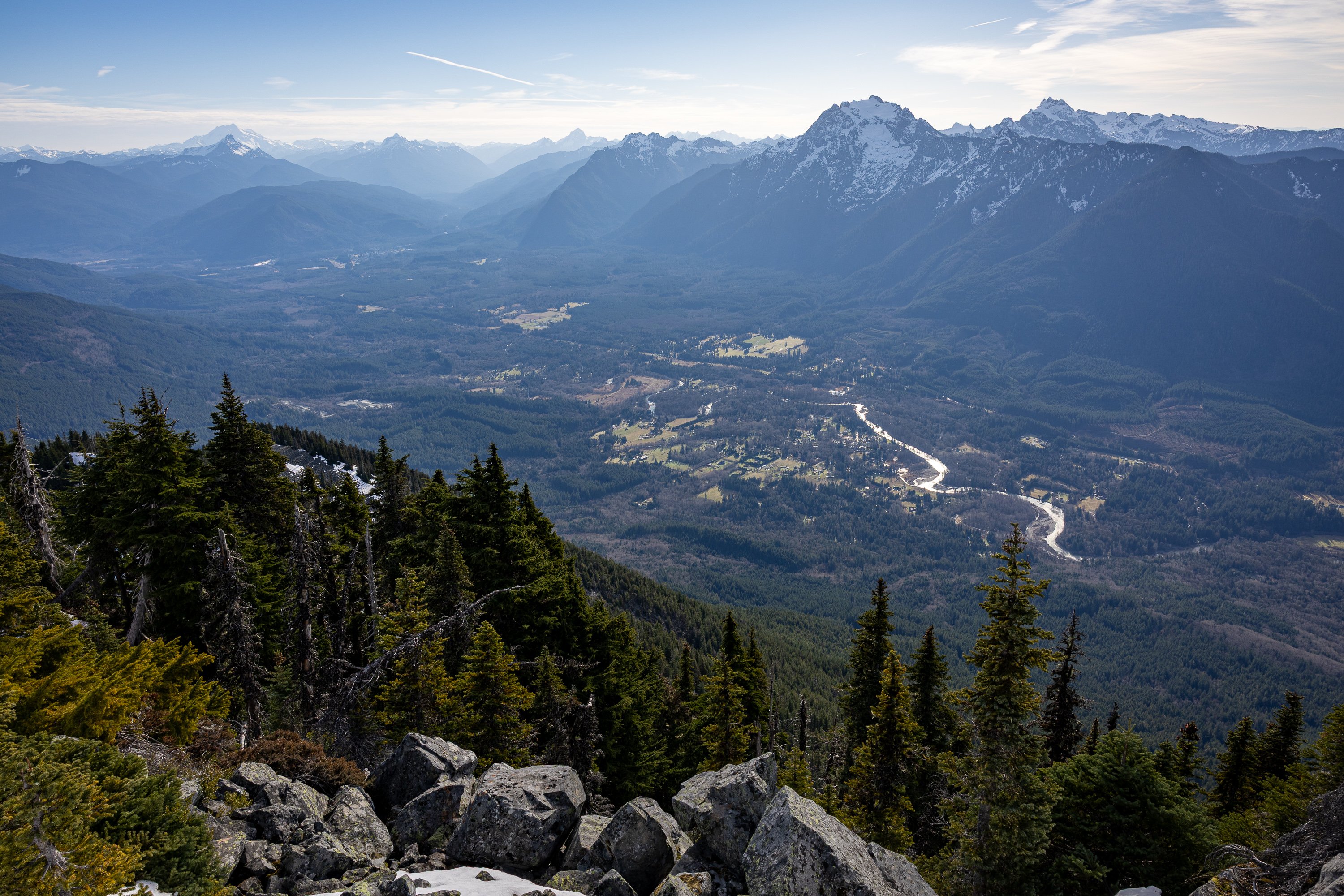
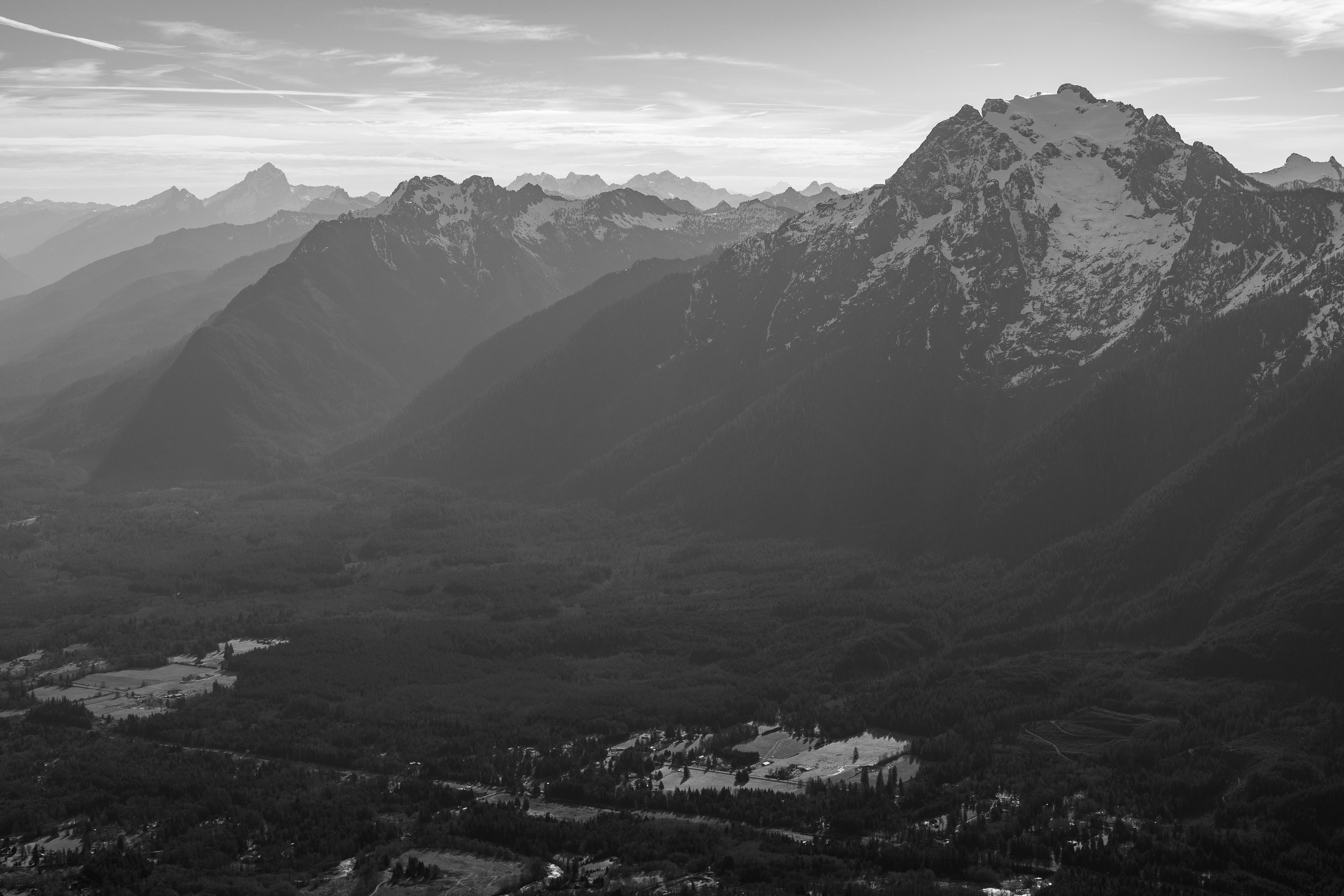
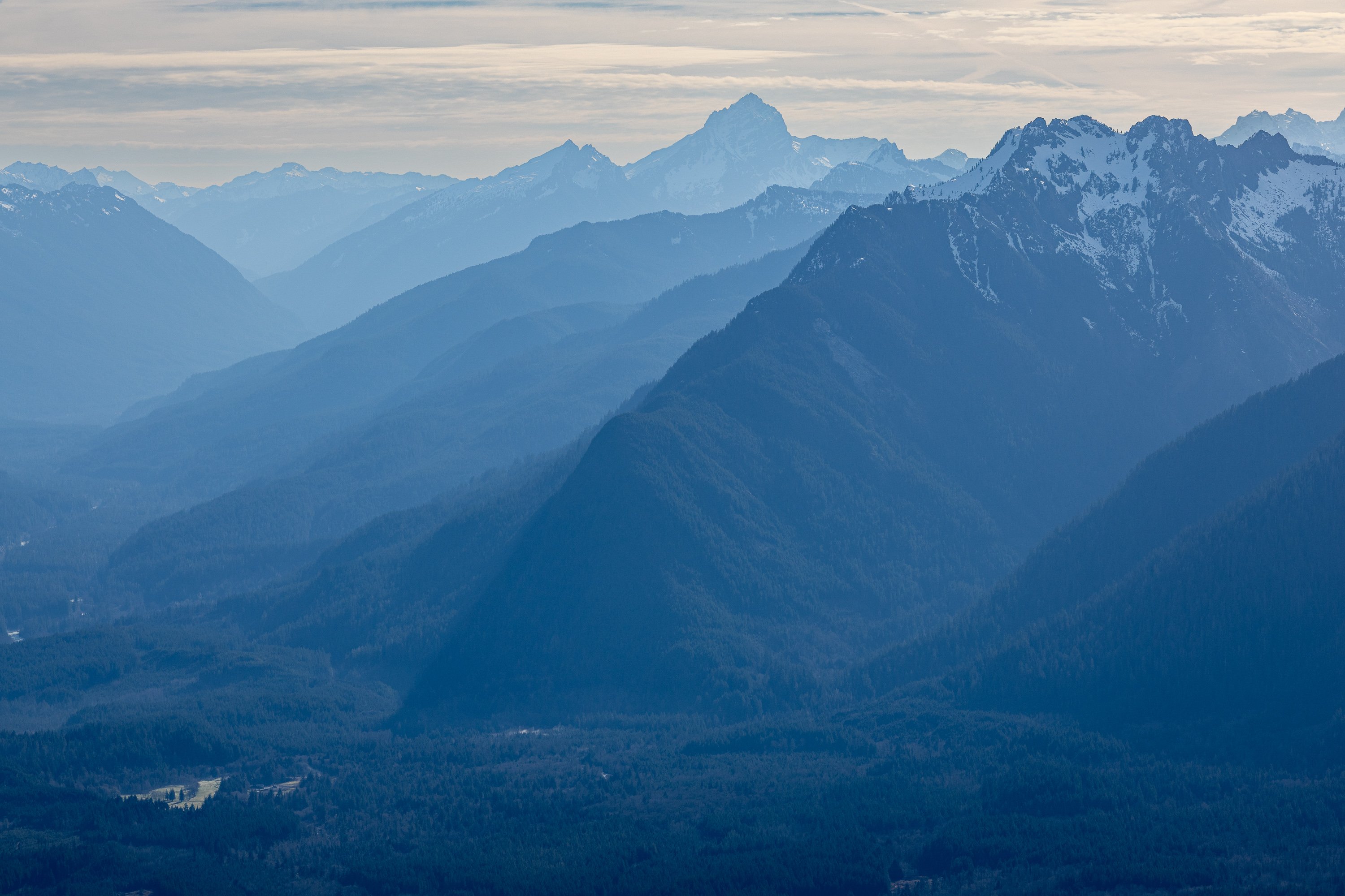
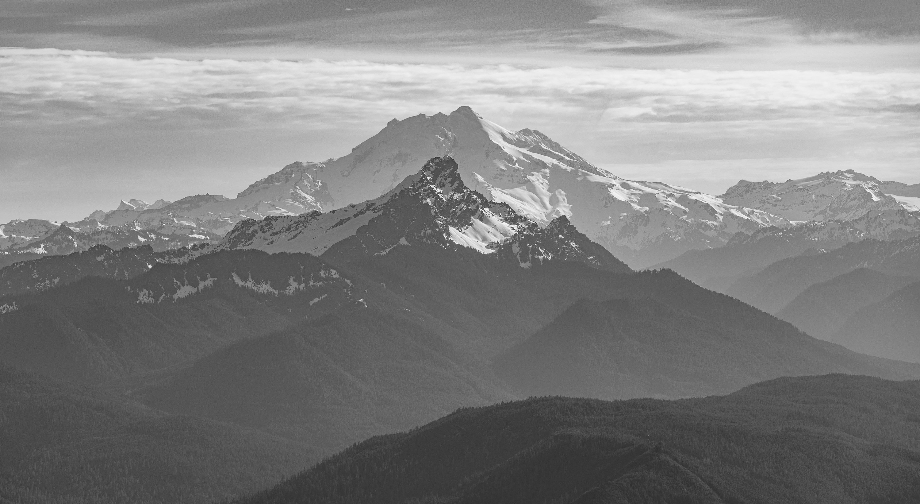
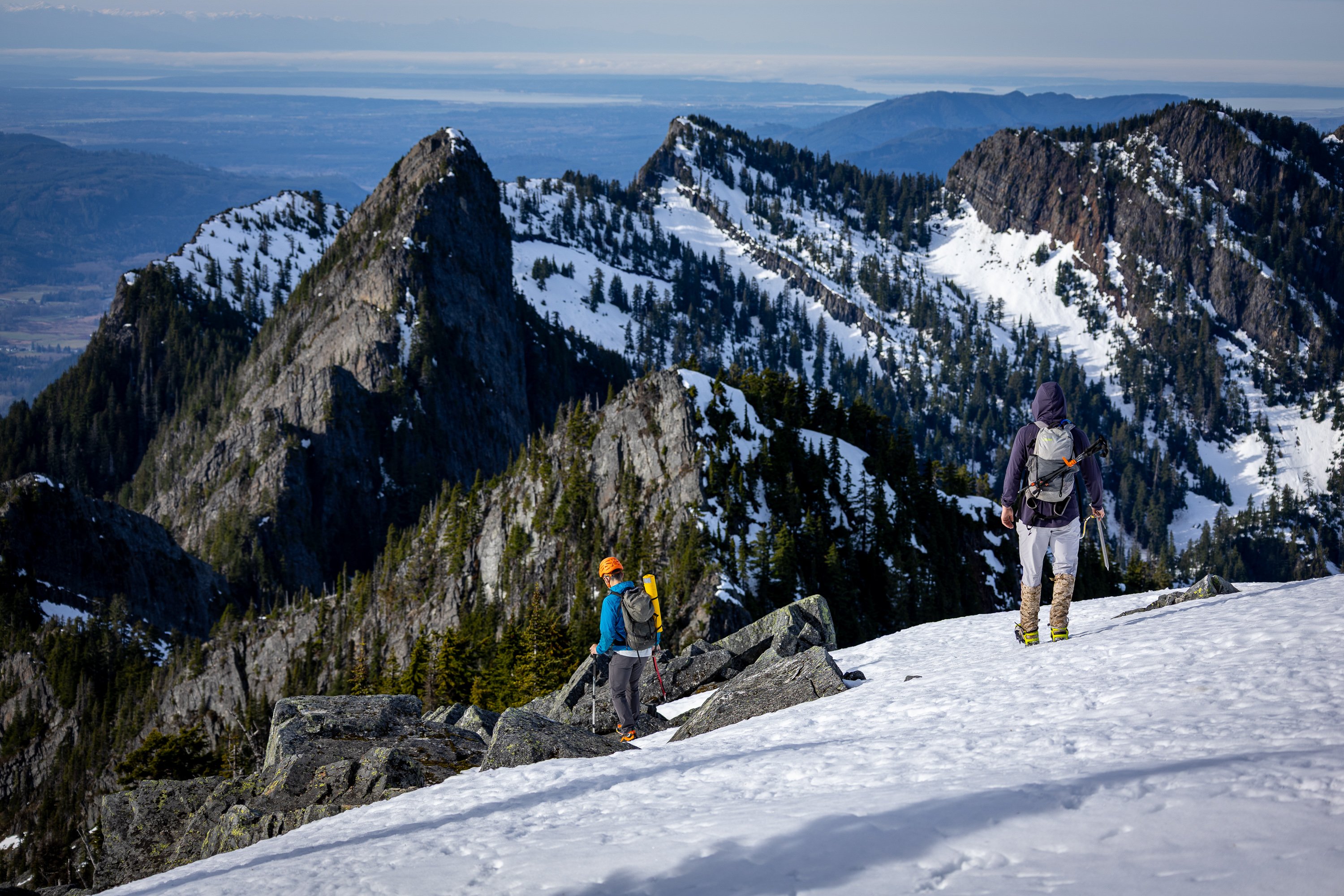
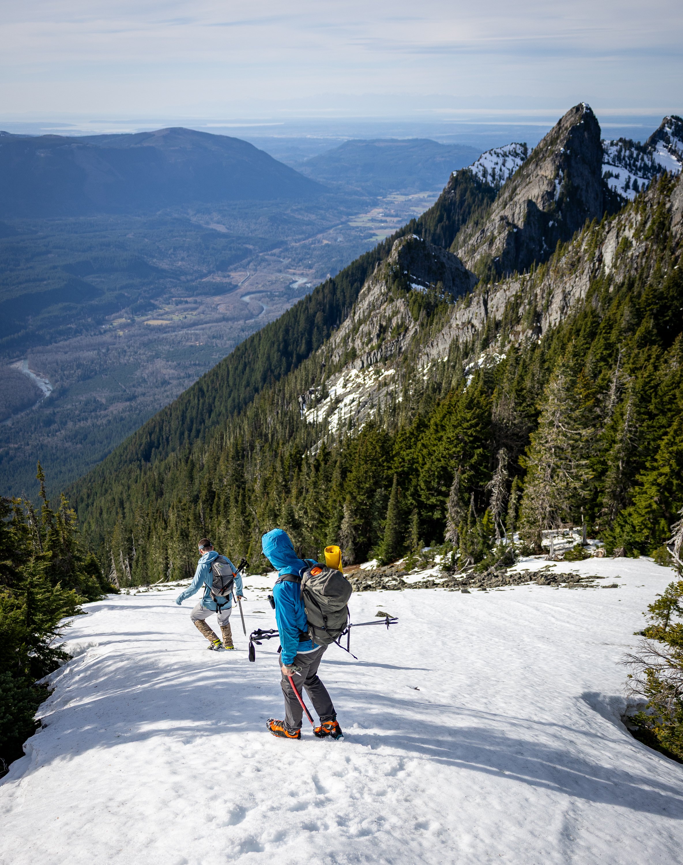
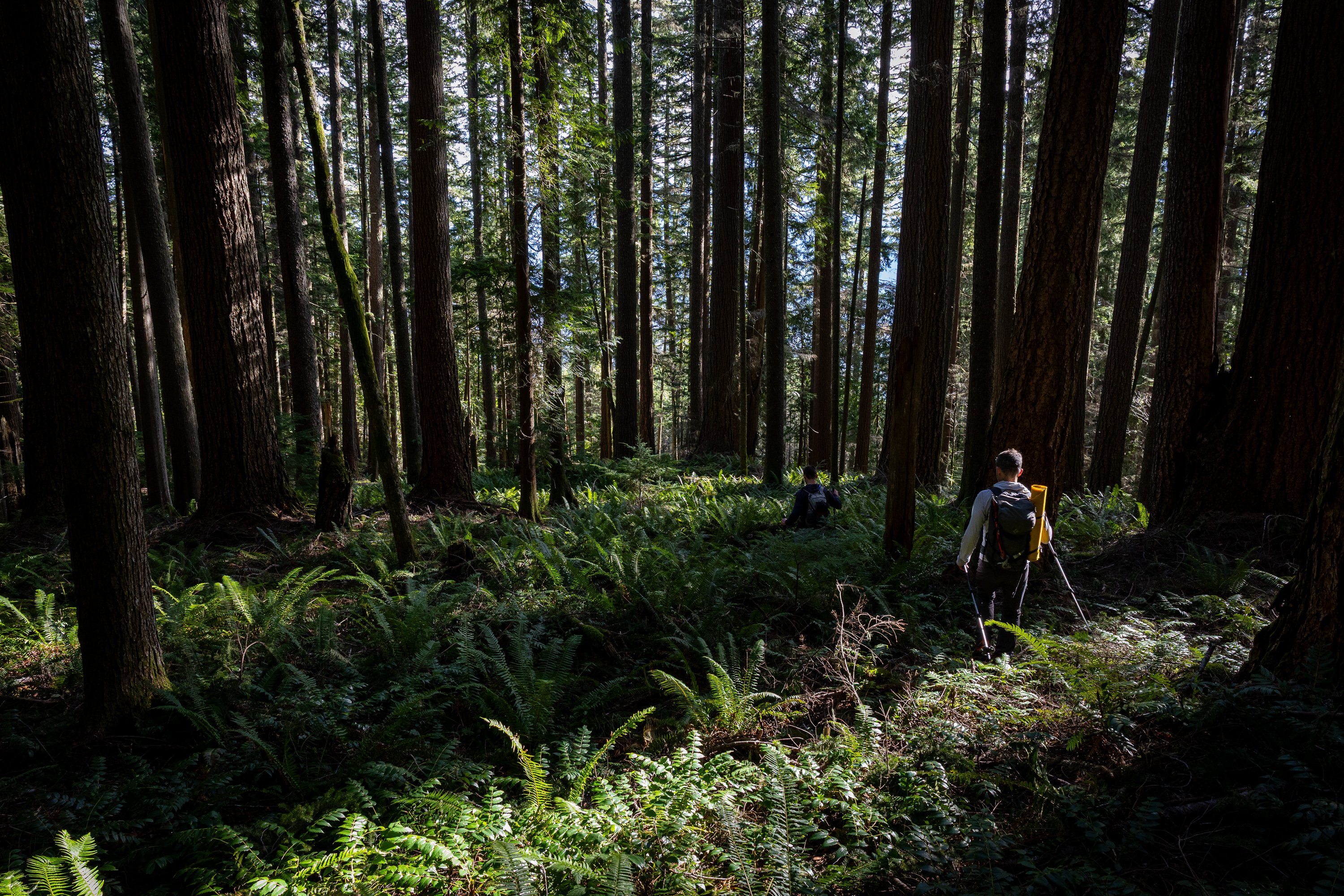
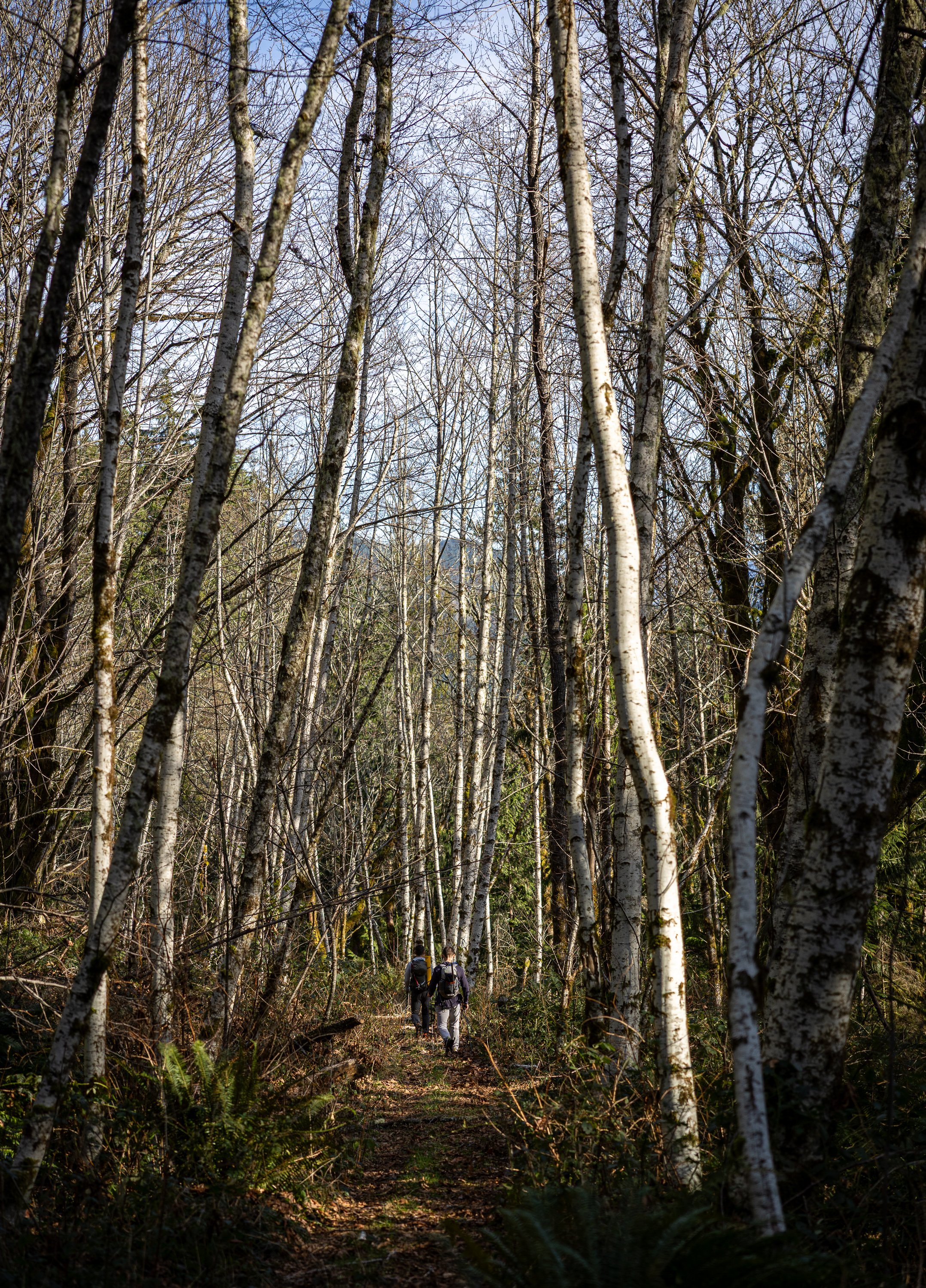
Trip: Long Mountain - West Route via Marten Creek Trip Date: 01/18/2025 Trip Report: The January 2025 Drought continues! In times like these, the desperate turn to Kloke's Winter Climbs guide, self published by Dallas in the mid 90s. I recently picked up a copy of my own and began perusing for a reasonable winter day scramble for the mature mountaineer. And I stumbled upon Long Mountain, which I had never heard of until about a week ago. But no matter, @cfire long gave up on trying to judge the merits of my ideas and so it was an easy sell to convince him to give it a go this past Saturday. And... dare I say, it was better than expected? But maybe that was just the beers afterwards at the Mountain Loop General Store (back open!). Or maybe the summit whiskey that clouded my perception. Still, what's not to like about the sublime position, an exposed finish, and solitude on a windless winter's day? 1912 Doug Fir test plot along the Marten Creek Trail: This is what @cfire came for: Or maybe this was it? (Jumbo, Big Bear and Three Fingers): A lovely finish: Yeehaw! Three Fingers East Face....Paging @lunger and @danhelmstadter: Pilchuck and the Olympics: East to GlacierL Mind the exposure on the way down: Not fun: Fun: Gear Notes: ice axe, crampons, helmet. Approach Notes: Marten Creek trail for a couple miles and then choose your own adventure to get into the west basin. Follow your nose up to the exposed finish for the last bit.
-
But here you go @Kai Niland: https://bbrelje.wordpress.com/2014/08/23/making-the-tough-call-on-mt-daniel/ Because one person's casual romp is another's epic and maybe this will be of use in your decision on which route to climb. But only click on the link above if you want the modern climbing experience, not a mid '90s adventure. (go with the adventure Kai!)
-
Fred calls it the south spur (p. 197) and says you can stay on it the entire way, no need to detour. He doesn't give it a rating meaning, "Pfffft....easy". Buy the Beckey books people, all of them! The internet will only take you so far in your Cascadian apprenticeship.
-
Petition to restore mid-week access to Mt Rainier
JasonG replied to olyclimber's topic in Climber's Board
Dudgeon sounds like quite the NPS zealot. This should be fun. -
I'll try and add some captions eventually....
-
Trip: Mount Baker - Coleman Deming Trip Date: 01/12/2025 Trip Report: @dberdinka and I have been skiing together a bit more than normal this season and a few weeks back I offhandedly mentioned that I would like to climb/ski Baker in the winter sometime. Turns out, Darin had been thwarted a couple of times prior and was still interested in making it happen. It didn't take much convincing to hatch a plan during the first part of this long January drought.....and one Sunday morning we found ourselves driving unusually far up the Glacier Creek road (for midwinter), parking a little less than a half mile from the summer TH. We opted to go up Grouse Creek, figuring that the avy swath would allow for skinning a bit lower than if we followed the summer trail. Not sure if this was true, but it was what we did. The higher we got, with windier it became, with worse snow. But no matter, we weren't here for the skiing and we made good time to camp at 7k in a wind scoop on the glacier. @dberdinka had brought his fancy 'mid and this proved perfect to hunkering down out of the wind while being able to melt snow in relative warmth. Brandy and whiskey didn't hurt either. Nor a lot of insulated clothing. Did I mention the wind? Baker was being stripped of all loose snow right before our eyes and I was a bit apprehensive about our chances if the wind didn't calm down. But in the 'mid, with a lot of food and spirits, the vibes were good- the wind was a problem for another day- and we had 16 hours to kill! A nice sunset and full moon lent a nice touch to the evening. The long night eventually ended, with both Darin and I catching a bit of sleep and staying pretty warm overall. But it was time to poke upwards and into the wind and so we plodded slowly out of camp in the dark at about 0630. As the day began to break a lenticular formed over the summit and then lowered almost to the col. Uh oh, this wasn't in the forecast! The wind continued to howl and we dug a hole in the glacier to wait and discuss our options. I was pretty sure I wanted nothing to do with climbing up into a lenticular (bad experience on Hood 25 years ago), but @dberdinka wisely pointed out that we may as well go until we couldn't safely, and the forecast was favorable. Maybe it would evaporate? We were getting cold after stopping for a long while and so we packed up. And, much to my amazement.... as we stiffly began to plod upwards again, the lenticular vanished! But it remained quite windy- maybe steady 30 with gusts to 45? I was getting cold and scared but @dberdinka seemed to get more optimistic the more unruly it got with wind and spindrift. He was in his element! Sensing that I definitely was not in my element, Darin memorably asked me, "Well, what did you think it was going to be like climbing Baker in the winter?" Right. Upwards we go! But not with skis. We left them about 9800' at the top of the Pumice Ridge when it became obvious ski conditions were bad and not going to get any better. View into the maelstorm: The spindrift got better as we got higher since all the loose snow was already gone, but the wind remained strong. Still, @dberdinka was right, we were going to make it! We just needed to suffer and not lose heart. But what a wild feeling it was being so high on Baker in the wind and cold! It was just the two of us and I paused a few times on the summit plateau to take it all in, grateful that @dberdinka had pushed me to continue through my discomfort. We reached the summit a bit before noon, feeling like we were standing on the moon. A few quick photos and we began the plod back towards our skis and camp. As expected, the skiing wasn't anything to rave about back to camp, but it wasn't horrible either. Much to our surprise, 15 minutes after arriving back at camp, the summit was lost in another lenticular, showing just how narrow the windows of success can be in winter..... Gear Notes: Normal ski mountaineering kit plus much warm clothing! Brandy and whiskey were helpful as well. Approach Notes: Grouse creek. Could drive within half mile of TH, snow was thin down low but got rapidly better, higher. Mostly carried skis until the avy swath.
-
[TR] Mount Robson - Wishbone Arete (5.6) - 8/31/24
JasonG replied to eeelip's topic in British Columbia/Canada
I am very sorry for the loss of your brother @eeelip- I am sure this was a hard TR to write. I appreciate the reminder that climbing is a dangerous game, and that when things go wrong, there are wide ramifications. I hope Noah's passing gets a little less harsh with time, and that your faith can continue to comfort you and your family. -
Until we get the TR search feature fixed....Google search with cascadeclimbers and the route/mountain... and yes, @Bronco is exactly right..... Snow conditions and weather will control all!
-
The Zipper is a good one.... Whistler Peak, East gully (bit of mixed 4th to the summit) North Couloir on McClellan Butte (some mixed spice at the top) Big Four, Dry Creek Route (also spicy up high) North Buttress Couloir on Colchuck. Sherpa Peak, NE Couloir (bit of 5th at the very summit) East Face ramp on Harvey up in BC, when it gets fat. Early season there is some ice climbing. Not couloirs...but NF of Maude, NF of Observation Rock East gullies on Mount Angeles in the Olympics. Sort of less moderate, since there is glacier travel (but it is often soloed), Leuthold's Couloir on Hood. The Cascades aren't really known for couloirs, but most everything in the spring has steep snow somewhere on it and could be viewed as a challenge.
-
[TR] Kings Peak - Via Henrys Fork 07/04/2024
JasonG replied to JasonG's topic in The rest of the US and International.
Oh I'm sure your kid could make it happen @Lostbolt! My boys were 14 and 16 last summer and the three day pace didn't push them- it was pretty casual. -
Trip: Kings Peak - Via Henrys Fork Trip Date: 07/04/2024 Trip Report: After Borah, we drove south for a few days swimming at Bear Lake (recommended) and fossil hunting around Kemmerer, WY (also recommended) before settling in Lyman, WY for the night to prepare for a three day trip to climb Kings Peak over the 4th of July. Although people do the 25+ mile RT in a day, I figured with the altitude that a more leisurely itinerary would be much more family friendly. In the end, this was a good call. Any way you approach it, Kings Peak is way back in there. We chose the most shortest and most popular approach via Henrys Fork and it was a pretty mellow ramble of about 9 miles to a tarn just beyond the masses at Dollar Lake. The first night we had it all to ourselves and it was a glorious spot (~11,000) to take in the views, which included KIngs, about five miles away. Kings Peak from camp: The next morning dawned clear and still, but this area is known for thunderstorms so we didn't waste (too) much time getting out of camp and up the hill while the day was young. I had been worried about how much snow we would encounter on our way to Gunsight Pass (~12,000), but we only needed to cross a few small sections, all with steps beat in. All the snow we encountered was pretty hard and icy in the early morning so if there is more snow you'll need to plan accordingly. When you reach Gunsight Pass there are two ways to reach Kings- short and long. We chose the shortcut which angles up steeply and right from the pass, mostly on a climbers path, but also with some rock hopping and scrambling. In the end, this was probably the better way to go, though it seemed to be not much faster than dropping down and around (we saw another party do this just ahead of us). As we climbed higher, the views got wider and the day remained perfect. No thunderstorms to worry about as we meandered upwards, talking about how different the Uintas are compared to the North Cascades. A bit of minor scrambling along the summit ridge brought us to the top of Utah late in the morning. After another couple parties left, we had the summit to ourselves for about an hour. I was a bit surprised at the lack of crowds, given that it was the 4th of July, but we found them that evening back at camp, ready to climb it on the 5th. Reversing the route back to camp was simple and much easier that wheezing upwards and we were treated to another calm and beautiful evening back at camp, with a dozen more tents scattered around. The State high points are not lonesome! All the remained for us the final morning was a quick hike back to the car and then off to Nevada and a few more summits.... Don't let them fool you, they could hike for another 10 miles with enough sugar and bad jokes. Gear Notes: hiking poles Approach Notes: Follow the masses up Henrys Fork. All the beta is found here: https://www.roadtripryan.com/go/t/utah/northern-utah/kings-peak