-
Posts
17312 -
Joined
-
Last visited
-
Days Won
23
Everything posted by KaskadskyjKozak
-

[TR] MT HOOD - Reid glacier HW 01/09/2021
KaskadskyjKozak replied to kadyakerbob's topic in Oregon Cascades
Great pics! -
R.I.P., Edward!
-

[TR] Storm King Mountain (8515’) - North Ridge Route 09/05/2020
KaskadskyjKozak replied to Kuato's topic in North Cascades
I've done that approach twice for NE buttress of Goode so I'm not sure I'd want a repeat (gawd it's awfully long and you are right about how far you really need to get on the first day). But it's definitely a cool TR - I never thought of even looking for a route from this side, since almost everyone seems to do the S side route (which does have some typical Cascade Choss). I'm actually wondering how the two would compare - the S side involves that long hump from trail to 7K that is pretty rugged and brutal itself.... -
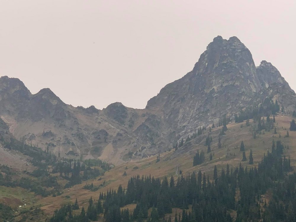
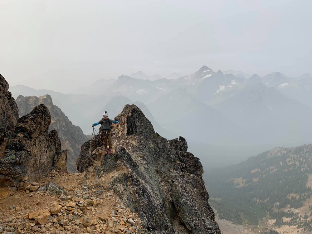
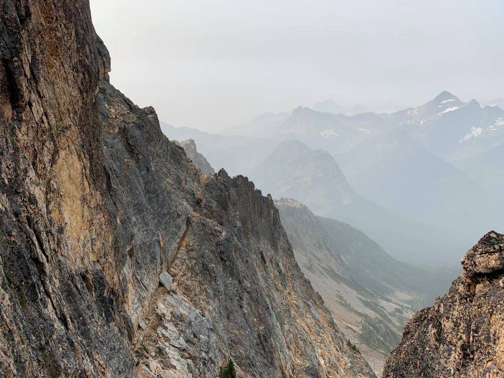
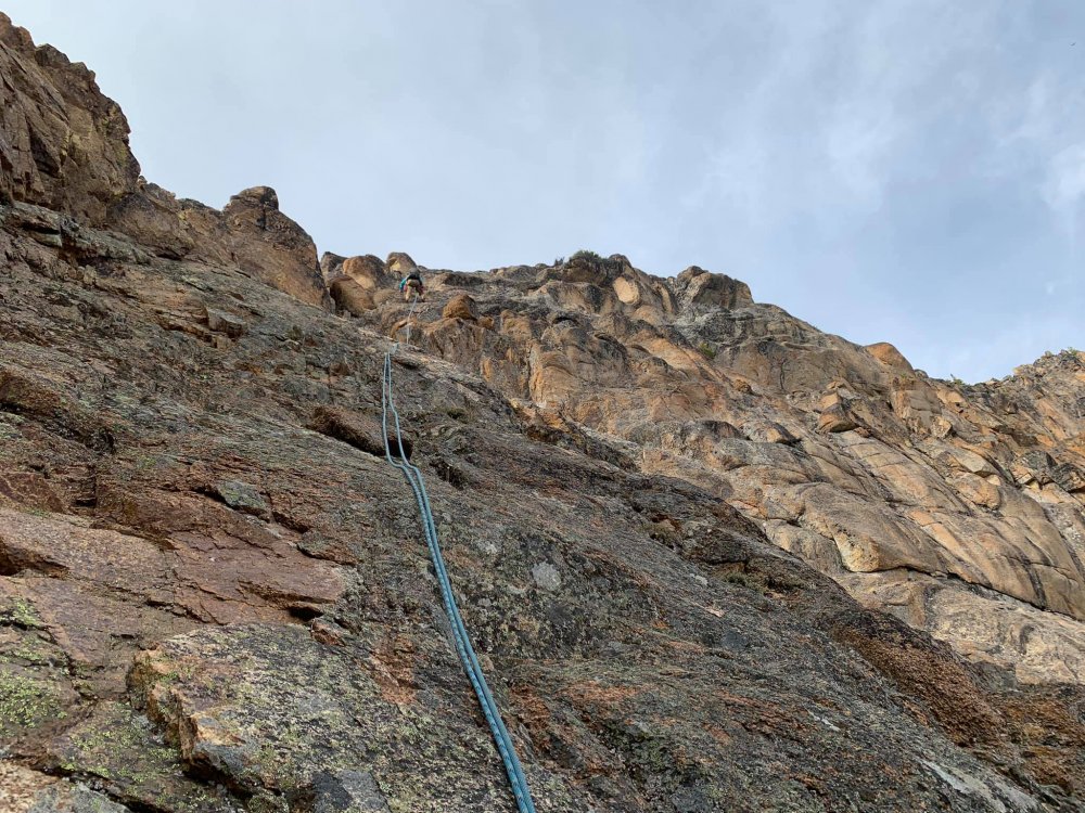
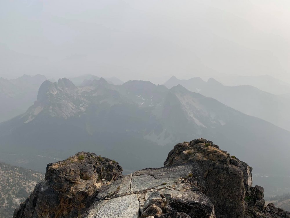
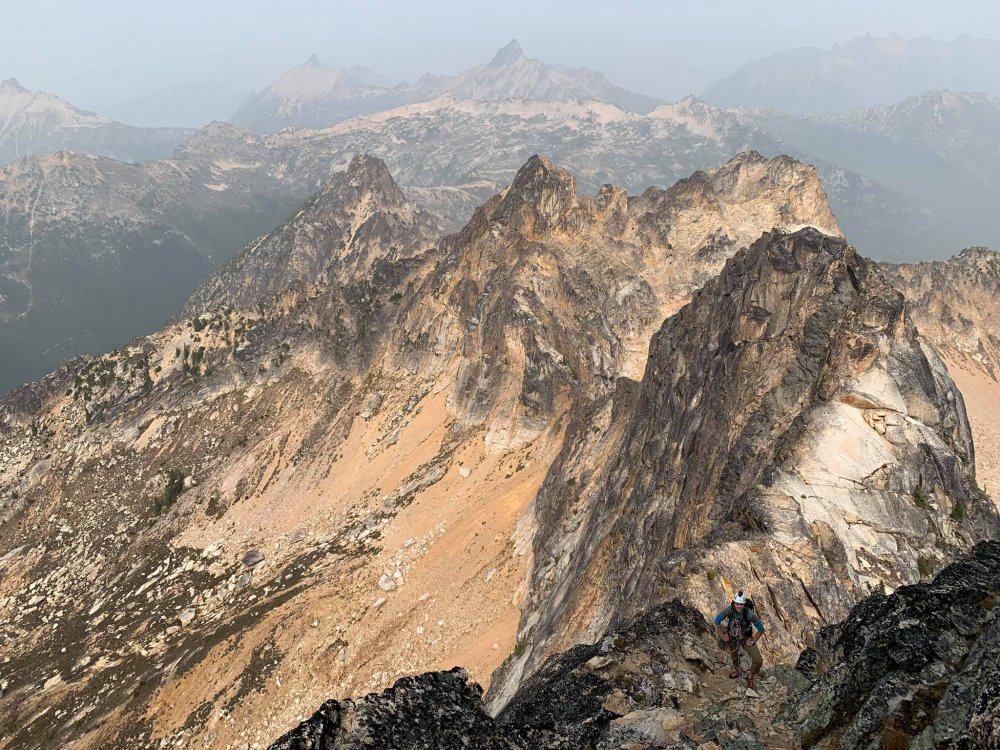
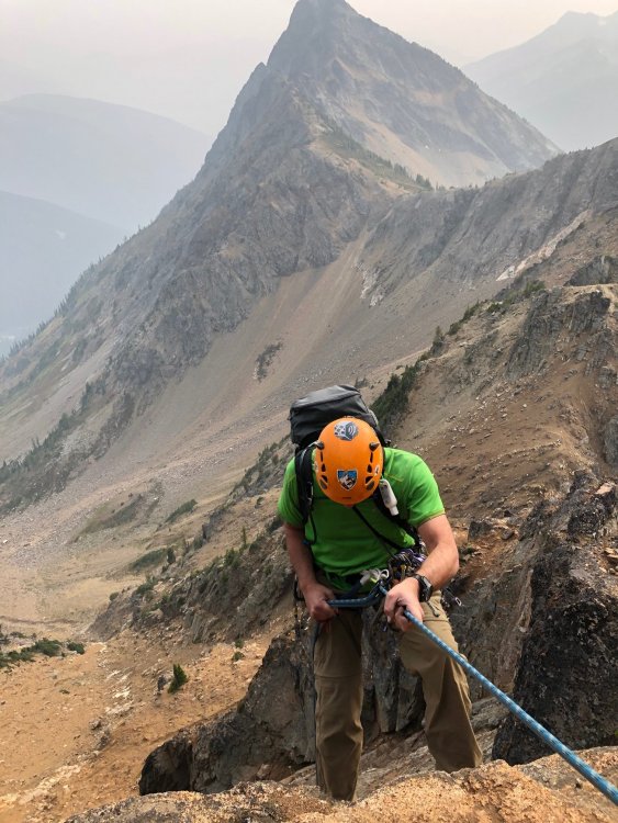
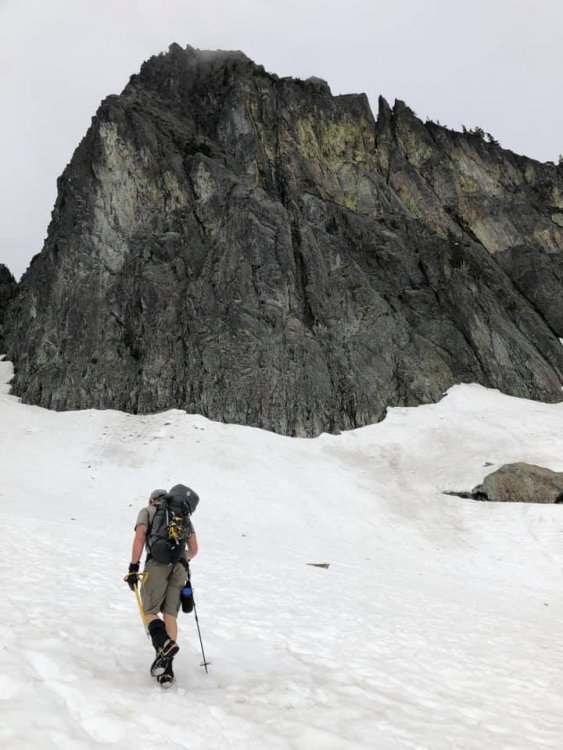
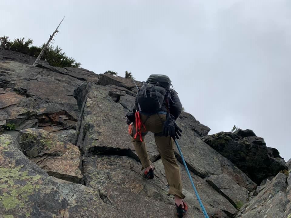
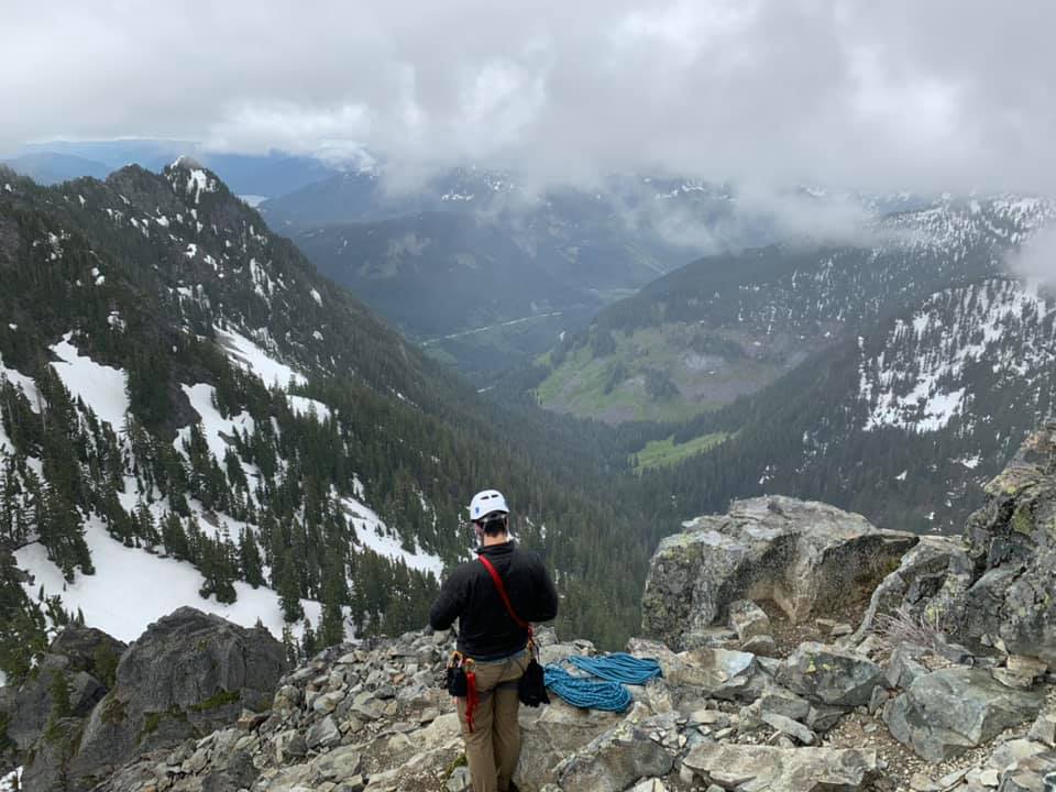
Trip: Cutthroat Peak - West Ridge with North Ridge finish Trip Date: 09/13/2020 Trip Report: After a couple disappointing attempts into Depot Creek I settled for a rock climb this weekend with my son. The smoke made multiple days seem unappealing but I figured a one day climb would be a reasonable compromise. My son and I headed out to WA pass mid-afternoon on Saturday, stopping in Marblemount to retrieve some items we had stashed in bear lockers on a previous trip that the maintenance crew took. We then proceeded to Lone Fir Campground for a relaxing evening before an early morning start. Alarms went off at 5:20 (damn it's dark now at that time!), and we drove to the pullout below Cutthroat. The smoke seemed to have worsened from the previous day, despite what we were expecting from reading forecasts. Oh well, we were there. View up in the morning: We made quick work of the approach to the base of the route around 7500'. We opted for the start just right of the prominent dihedral (with a wide crack) on the S side. The climbing started at class three then got harder and more exposed. I never saw any fixed pitons (I expected two) and ended up climbing to rap chains in one long 60m pitch. Later we found that this is the middle set of chains for the descent from the ridge crest. From here I led a shorter pitch to the crest and the top chains. This had a few rock moves mixed with scrambling. We then unroped and moved the belay as far as we were comfortable. There is one section of the ridge that becomes exposed on both side and requires moves around small micro-gendarmes that we didn't want to solo. So we backed down a few feet, built an anchor and simul-climbed the exposed section to a flat spot. View to the summit block from the exposed ridge: My son at the end of the exposed section: From here we opted to traverse the ledge to a notch in the upper N ridge. We simulclimbed that as well, but realized it didn't really require it (much less exposed than what we had just done). Ledge leading to the N ridge as seen from the N ridge notch: From the notch on the N ridge, I led a fun pitch up 4th and low 5th class rock until the terrain moderated to a scramble that led to the summit. Summit views S (very smoky): Summit views North (clearing some): After enjoying the summit for a while and fueling up, we began our raps down to the W ridge. We were expecting two 30m raps off of chains, but the 2nd rap dumped me on sketchy class 4 terrain, so I climbed back to the rope, attached a prusik, and climbed back to a 3rd rappel station (not chains, but quite elaborate set of round webbing/cordelettes). Me on upper rappel: We then simul-climbed the short exposed ridge section, downclimbed to the bolt anchors on the lower ridge and did 3 30m raps back to the base. Lower rappel. Note improved air quality by later afternoon The hike out was pleasant and we got to the truck just after 6:30, making it a 12 hour day. Gear Notes: Alpine rack up to 2" Approach Notes: Zero snow. Compared to other trips this summer, not too chossy
-

[TR] Cowlitz Chimney - Standard 08/01/2020
KaskadskyjKozak replied to KaskadskyjKozak's topic in Mount Rainier NP
Yeah we did a hike this way to Tamanos Mountain - just above and right of the pic above. From there we actually were admiring Cowlitz Chimney and decided we'd try for it some day. I think it can be approached from Owyhigh but is best with snow/in Spring. -

[TR] Constance - South Chute 08/10/2020
KaskadskyjKozak replied to KaskadskyjKozak's topic in Olympic Peninsula
WE never used crampons. I think a 30m rope would work and possibly a 20. Folks braver than us would probably just downclimb (exposed side is easier, less exposed part is steep and stiffer) -
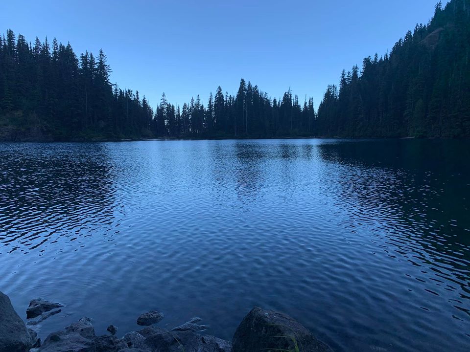
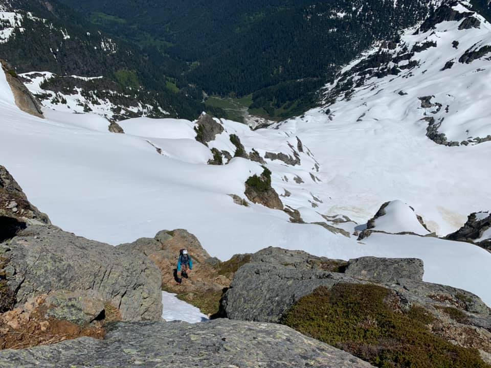
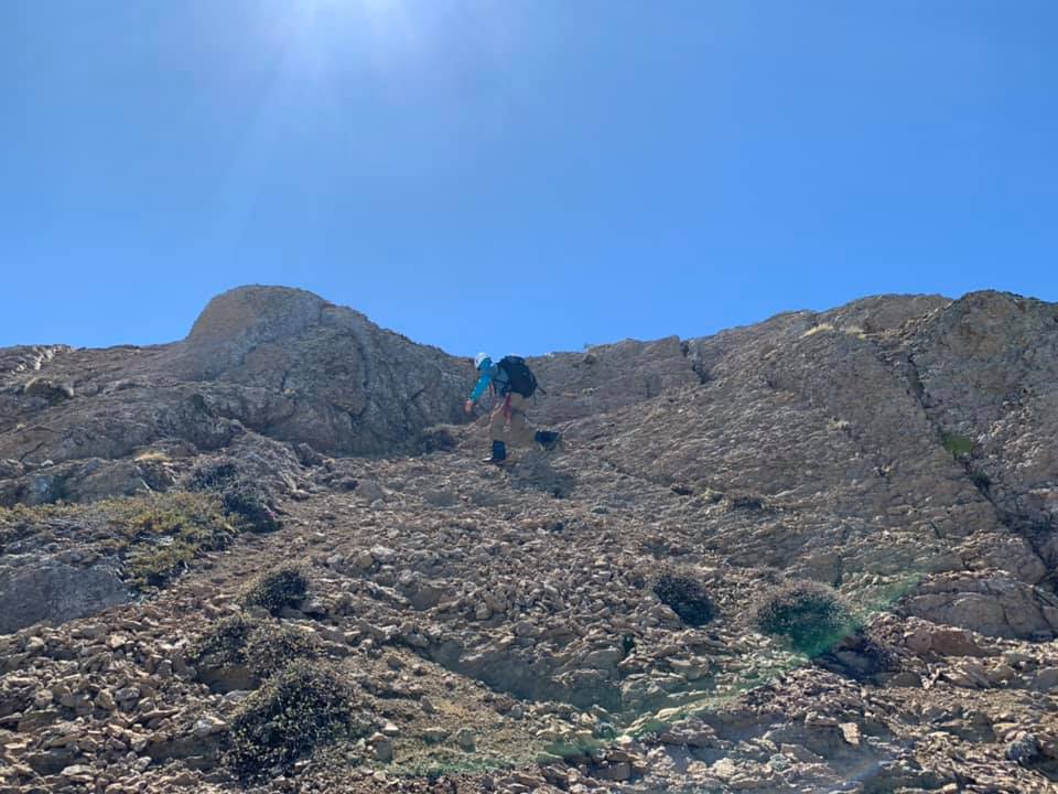
Trip: Constance - South Chute Trip Date: 08/10/2020 Trip Report: With a weird forecast this week my son and I decided to convert our planned five-day trip to the North Cascades to a more modest 2-3 day summit of Constance. We headed over to the peninsula moderately early Sunday morning, arriving at a full road-end parking area with cars backed up the street for maybe 1/4 mile. We found a recently vacated gap for our truck, unloaded the bikes and headed up. Just over an hour later we arrived at the TH, did a gear adjustment and started uphill. We were amused by the signage warning that the trail is not just a "hike", and by the party of three that started up it only to bail within 5 minutes. We then powered through the worst part (the bottom) only to see that around 4000' it got stiff again. We arrived at camp after 4 hours or so, a bit hot and tired. We had plenty of time to wade in the lake, and enjoy the lack of insects. Most people were gone already except one guy floating on the lake fishing (catch and release) Lake Constance after sunset: The next day we were up at 4:15 and headed up Avalanche Canyon. There is almost no snow whatsover left there so we suffered through the tedious boulder hopping followed by endless scree up the S chute, down its other side, and up to the notch crossing the E-W trending spur ridge. All scree and no snow makes the S chute a dull boy: On the far side of the notch there was still a snow patch melted back from each rock wall, and we walked along the one skier's left until it got too moated out, then got onto the snow (now flat with no bad runout), crossed it to rock, and worked our way to the finger traverse. Once there we opted for the bypass on the way in, planning the FT if time and will-power cooperated on the way out. Moat shenanigans (taken on return to camp): The FT bypass After the bypass we scratched our heads a bit about what to do. A really nasty gully led down and we didn't like it, so we traversed a bit, then found a still unsavory, but slightly better gully down to snow, crossed it and then started up the ledge system towards the summit block. The next talus field was also devoid of snow, but not too tedious. Then we were on the summit block and doing a corkscrew to get to the N side of the summit block. View back to the Terrible Traverse and FT: Working the cool ledges on this climb: The final moves seemed a bit high end to solo for my taste. After looking at a few options, I pulled out the rope to lead it. But I ended up just placing one piece maybe 8 feet off the ledge, then topping out. There was a new summit register dated 7/4/20 with a new rap anchor, but the webbing was shredded and we ended up carrying it down, putting new slings in (which may get devoured by rodents over the next days or weeks as well). Olympic Mountain p0rn: Another Smoot in the books! One short rap led us back to regular scramble terrain and we began retracing our steps down. At this point the fog rolled in. We could see enough to get back to finger traverse. Due to the time we spent getting to the summit, including getting gear out already for a short lead and rappel, we opted to just climb the bypass (super chill) then continued to the col on the E-W trending ridge. The skies cleared for us here and we enjoyed some serious scree-surfing down to the basin below the S chute, topped the col, then did more scree-surfing into Avalanche Canyon. Then and there the fun ended and we proceeded to tedious boulder hopping back to camp. Arriving at 7:15 we decided to stay the 2nd night we had reserved on the permit, and hiked out early Tuesday morning. The steep Lake Constance trail went by quickly thanks to fresh legs and Iron Maiden. And the bike ride was a pure pleasure (about 30 min of coasting). Retun to lake: Gear Notes: Ice axe, helmet, 40m rope, small rack Approach Notes: Talus, scree, more scree
-
Trip: Cowltiz Chimney - Standard Trip Date: 08/01/2020 Trip Report: Seems like it's been nothing but a summer of Smootin'. Save a solo trip in the Teanaway, I've strung together a contiguous streak of getting me lots of Smooty (and following in the footsteps of the Choss Dawg Millionaires). This past weekend I set my sights on Cowlitz Chimney. I attempted this scramble about 5 years ago on a weekend when weather looked "meh" pretty much everywhere that I looked except for MRNP. Unfortunately, despite blue bird skies from the trailhead we hit fog between Summerland and Panhandle Gap - fog that never let up. So, we settled for finding our way up Banshee and Middle Cowlitz Chimney on that trip. While looking for recent beta I saw a comment that the Summerland TH parking lot was filling up by 6:30 am. So, we timed it to arrive just shy of that time. Despite that plan we arrived to a full lot and parked on the side of the road right across from the lot - the second car to do so. Within 10 min another 5 cars or more followed suit. The mountains are getting way too crowded! We made good time up to Summerland and I made use of the toilet. There was a ranger there with a shot gun as a last resort to ward off a bear family unit who is apparently frequenting the area. We continued on towards Panhandle Gap and decided to pop over the col just shy of the proper trail. I don't think we saved time doing that, but whatever. Next we crossed glorious meadows with flowers in full bloom and only a few snow patches. Soon we were on the summit of Banshee Peak with views of our objective. Views from Summerland: Views en route to Banshee Peak: The objective: By this time some fog appeared in surrounding meadows and some clouds looked like rain. WTF? We began dropping into the basin below Main Cowlitz. Right about when we got to our low point, fog came in. Total whiteout. We launched our peakbagger app and downloaded a track just in case we needed it. Fortunately as we completed our traverse and were roughly below the "solitary tree" the fog blew out and we were golden. We followed this guy's excellent route description: http://ericsbasecamp.net/trips/CowlitzChimney/CowlitzChimney.htm. The trip is 18 years old and evinces the utility of long-lived trip reports. His came up in the first page of Google hits. We found no problem finding the key landmarks: the solitary tree, the fence of trees, the exposed traverse, and the class 4 slot. For the latter two we had brought a rope. I protected the traverse with two cams and plugged a third before topping out on the slot. At the rap station we left our rope and pro and scrambled up. There was scree, there were loose holds. It was a Smoot. We picked the obvious gully near the top which felt like class 4. Definitely not a good place to fall. Yep, that's a solitary tree. Well, sort of: Summit views were great! Another Smoot in the books: #83 On the descent we retraced our steps, did a rappel to avoid downclimbing the slot and traverse (60 m rope barely reached), and hiked out. It was super hot by then and we felt the effects of sun. So we slowed down and enjoyed the way out, stopping for one long water break before the final trail back to Panhandle Gap. On rappel: Rainier as majestic as ever: Gear Notes: 60m rope, helmet, X4s .3 and .4, C4 .5 Approach Notes: Mostly snow free. Wildflowers in full force.
-

[TR] Mount Formidable - South Route 07/05/2020
KaskadskyjKozak replied to Ian Lauder's topic in North Cascades
Did you happen to get a pic of Buckner and Horseshoe Basin area while traversing over to Cache Col? -
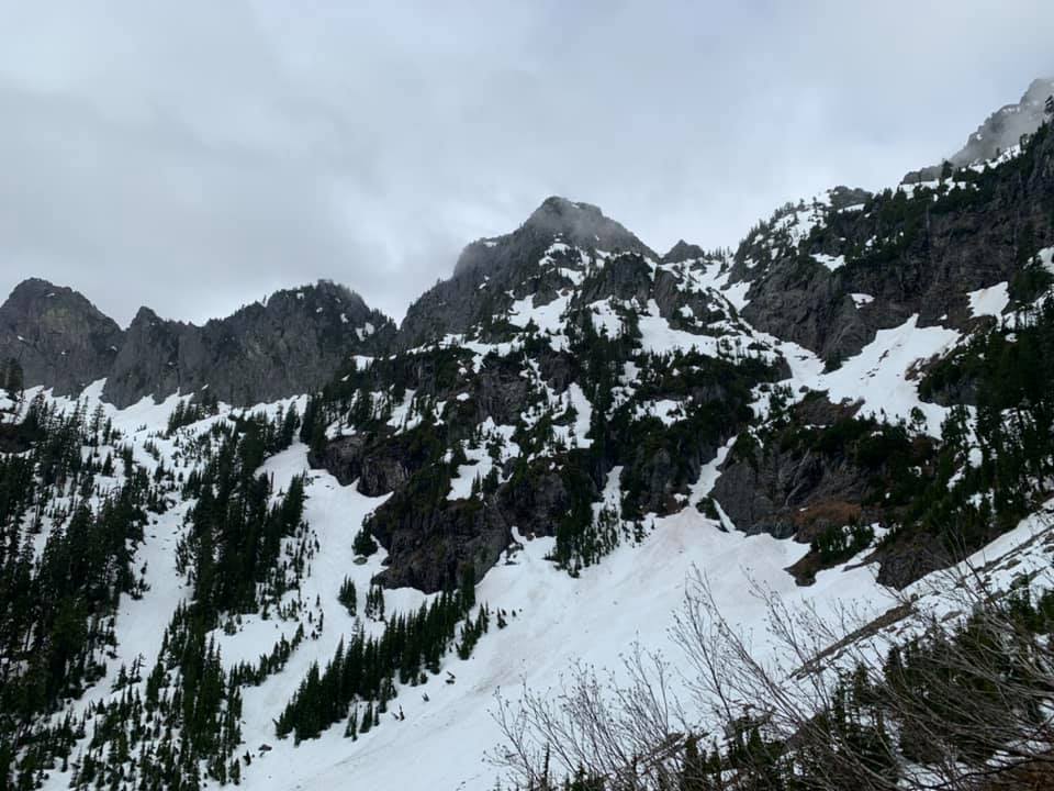
Trip: Big Chiwaukum and Snowgrass Mountain - Standards Trip Date: 07/04/2020 Trip Report: With some forecasts looking meh on the observed Friday holiday my son and I opted for a more certain forecast in the Chiwaukums and a 2-day trip. Smoots are always a great Plan B. We car camped at the White Pine TH Friday night and headed up at dawn. We cut off the trail in the meadows below Big C at the standard spot just past the stream and headed up to about 6000'. We then sussed out the lowest feasible spot to get around the spur ridge (6400') and contoured over and around to lower Lake Grace. At this point Big C's summit was socked in and Snowgrass was going in and out of clouds. We set up camp and deliberated on options but as things started to clear on both summit tops went for the closer Big C. It took about 2:20 to summit from camp. Route-finding was relatively straightforward with cairns marking the "key ledge". It was clear but windy. Great views. Campsite: Lake Grace from ridge leading to Big C's summit Key Ledge: Snowgrass from Big C. Snowfield looks steep! We got down early for dinner and had plenty of down time. The next morning we got up at dawn. It was a cold night and the snow patches around camp were rock hard. We opted to contour around towards Frosty Pass (but not *to* it) and pick up the S ridge route rather than try the steep NE face route which had a bad rounout. Later we met a climber on the summit of Snowgrass who had also passed on that option and scrambled the rocks adjacent to the snow instead. We followed the S ridge directly up Snowgrass towards what looked like the summit but ended up at a flat spot before a notch with an exposed section to get to a false summit. From here it was not clear how to get around some rocky spots on the ridge. After about 30 min of looking around (and even contemplating going back the way we came to drop down on the easier snow field on the S face, we found a short, loose, exposed downclimb to a ledge system that skirted the snow and worked towards the summit block. All in all this prolonged our day, but we still got back to the cars by 6:30 that evening. Snow field leading to the S ridge of Snowgrass. Flat S ridge below the false summit area: False summit: Big C and Lake Grace: Smoot summit stoke: Gear Notes: Ice axe, crampons Approach Notes: Snow-free until 6000'
-

[TR] Monte Cristo - Standard 06/22/2020
KaskadskyjKozak replied to KaskadskyjKozak's topic in North Cascades
I hear you on "boys never really took to it". I have three boys and only my youngest (he's 18) loves this shit. So far we are 2 for 3 this summer, with a turnaround 10' from the top of Whitehorse and a successful summit of the Tooth. Glad you enjoyed the TR! -
Trip: Monte Cristo - Standard Trip Date: 06/22/2020 Trip Report: After another disappointing weekend weather forecast my son and I opted for a one day trip up Monte Cristo on Monday. We had previously been in the area last September on a one day trip up Columbia Peak. From the latter summit we had discussed a return visit for either Monte Cristo or Cadet, and it's the right time of year now for either. We drove up to Barlow Pass Sunday night, arriving at dusk and setting our alarms for 4 am. We had our bikes with us to speed up our approach. We biked into town at dawn, locked our bikes at the rack and headed up the trail to Glacier Basin. The trail was in mostly good shape and snow free until you approach the basin above 4000'. We took a quick rest break just beyond and above Ray's Knoll, opting to put on crampons then. We ascended continuous snow from there to the v notch. The snow conditions were great - not icy but not too soft either. View up Monte Cristo in the morning: Ascending good snow From the col we roped up knowing there could be moat issues and that we needed to do one technical pitch anyways. As I approached the snow to rock transition, I could see it was already non-trivial. I downclimbed about 4 feet onto a snowy block and then tried to work my feet up to a higher snow block, but slid down and crushed the snow below me. I then tried to get into the moat higher up the slope, but it was worse there. I returned to my original spot and made several attempts to climb up 8 feet or so before finally succeeding, then made a low 5th move past a piton onto a belay ledge and brought up my son. We then got out the rock pro and I took a try at the short technical pitch. There was snow melting from above right into the crack I wanted to use. The pre-placed sling above was soaking wet and when I grabbed it water ran down my arm. Footing was not good with boots in the wet crack. I backed down and put on rock shoes so I could try to stay on dry holds on the right side of the crack, got up a few feet, then grabbed the wet sling to pull the lip. from there one more 5th class move got me to the rappel anchor. From this spot, we could see the source of the running water - a large snow patch right on top of the slabs. Fortunately the left side was dry and we were able to scramble past the snow on dry rock. Above that we also avoided snow by staying on blocky 3rd class terrain on ribs and eventually got to the finale- breccia rock on the summit block. Factoring in the moat shenanigans and wet crack for the rock pitch, we were satisified with our 8.5 hour time from cars to summit. Blocky class 3 scrambling below the summit: Kyes Peak from the summit: We downclimbed to the rappel anchor, rapped first to the belay ledge to retrieve gear, then into the moat. From there we roped up again (just to protect the moat exit) and returned to the v notch. From here we unroped and downclimbed the steep snow slopes face-in, using an ice axe and picket each for more security. The snow conditions were still good with not much more softening up since we had climbed. Once slopes moderated the hike out was cruiser. Gear Notes: Ice axe, crampons, small rack. Approach Notes: Snow in glacier basin up to base of route.
-

[TR] The Tooth - Standard 06/04/2020
KaskadskyjKozak replied to KaskadskyjKozak's topic in Alpine Lakes
yeah, that block just sitting there was "interesting". I've been there though where the upper snow ramp is mostly melted with a bad runout to climber's right. At the moment that's not there at all (as you know) -
Trip: The Tooth - Standard Trip Date: 06/04/2020 Trip Report: I've been teaching my kid technical rock climbing skills this spring, and he has been itching to hit an alpine route. With two back-to-back "meh" weekend forecasts we opted for the Tooth midweek on a day advertised as "mostly sunny" on weather.gov. The TH lot has been open for business for over a week now, and we parked at the Alpental/Snow Lake TH lot. Much of lower alpental is melted out and rather than risk some possible schwacking we took the standard trail up to Source Lake. We hit patchy snow a few hundred feet below the turnoff and almost 100% snow from there to the based of the climb. The route itself is completely snow-free. We opted for a leisurely start leaving the parking lot around 7:40. We could see a party on the summit as we rounded Source Lake, and another in the basin. As we ascended, a party of two (also father and son) passed us by. So much for nobody on the Tooth (as turned out 4 more parties followed us that day). And of course it started drizzling rain after the second pitch. I opted for the Catwalk nevertheless as it is ledgy. There were some delays rappeling, but it was not too bad. It's the Tooth, after all. "Mostly Sunny" approach to basin: Yours truly below Pineapple Pass: Summit views with my son: Classic view up P1 on rappel: Victory toast. Now onto bigger and better trips.... Gear Notes: Standard small alpine rack Approach Notes: Patchy snow from 3500'; continuous from Source Lake turnoff; minimal moat issue at notch S of Pineapple Pass
-
Soboooooooooo!!!!!!!!!!!
-

Climbing this spring (and maybe summer)
KaskadskyjKozak replied to Bronco's topic in Climber's Board
it was meant as a rhetorical question it will interesting to see when travel restrictions are lifted and for what purpose(s). tourism brings in money and in the coming recession that should drive lifting restrictions at some point -

Climbing this spring (and maybe summer)
KaskadskyjKozak replied to Bronco's topic in Climber's Board
To keep us out or Canucks in?


