Paul_K
-
Posts
110 -
Joined
-
Last visited
Paul_K's Achievements
")
Gumby (1/14)
0
Reputation
-
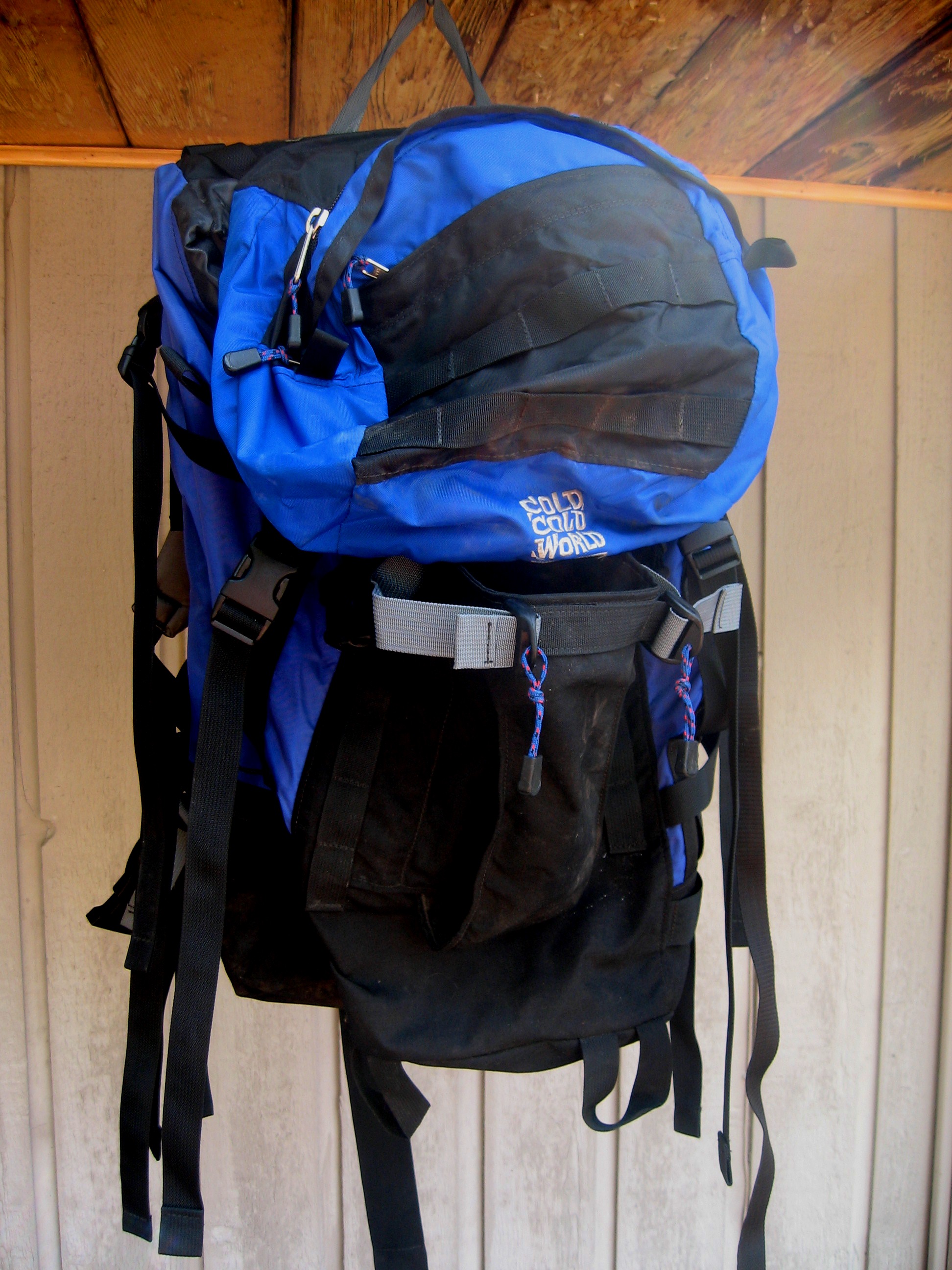
Size large - 70 liters. In very good shape, used on two overnight trips. Great pack, it just didn't fit my body type. $160. kramlich.pf at comcast dot net

-
One thing that has saved me from blisters is runners socks. They are made up of two thin layers which I wear under a thicker sock. I haven't had any problems since I started using them, even with heavy mountaineering boots.
-
Here is an automated weather station at Potato Hill, which is close to the Killen Creek trailhead. http://raws.wrh.noaa.gov/cgi-bin/roman/meso_base.cgi?stn=PTHW1
-
I usually camp at the Cutthroat Lake trailhead. It's about ten minutes down the road from the hairpin, and it is a couple of minutes off the road. No charge, no services, but it has a lot less of a mosquito population and is quiet.
-
Here is an alternate access to the Killian creek trailhead that tends to open up Directions - Leave Randle south on Forest Service Road 23. After a long stretch there will be a Y intersection with FS 21 going left and road FS 23 going right. Take FS 21. You will stay on FS 21 for a little over 4 ½ miles, and then you will reach another Y intersection, Here FS 21 goes left and FS 56 goes right. A problem is that I couldn’t see any marker for FS 56. However at the Y there is a sign pointing to the right that says “Cody Horse Camp 5 Mi” Take FS 56. Another check is shortly after you get on FS 56 you will pass the Adams Fork Campground. Shortly after that there is another Y with FS 56 going left and FS 5601 going right. Stay left on FS 56. In 4 ½ miles at a 90 degree angle to the right is FS 5603. It is marked on a small sign halfway in the bushes on the right of the road. Take FS 5603. In about 5 miles you will reach a four way intersection. FS 5603 continues on and the cross road is FS 2329. FS 2329 is a rough dirt road. Turn right on FS 2329. You will then drive on this road until you are stopped by snow. We passed Keenes Horse Camp and passed the turn off to Horseshoe lake and got stopped by snow just before the road crosses Killen Creek and the Killen campground. From here it is about a half a mile walk to the Killen Creek trail head. It will be on your left.
-
I've just gone through replacing my old mountaineering boots. I too have low volume narrow feet and after trying on quite a few boots I settled on the La Sportiva Nepal Evo GTX. I've had them out several times now and have been happy with them. They do seem to lock down the heel better than the others I tried, and I haven't had any heel slip with them.
-

Does anyone have any info on Forest Road 4330 ?
Paul_K replied to Ryan Canfield's topic in Climber's Board
For what its worth - Here is a site linked to an automated weather station at Fish Lake. MESOWEST STATION Looks like there is still a lot of snow. -
When I teach some one to climb I try and stress two things. First, I am showing them a safe way to climb, but for most everything they learn there is another safe way. For example, I tie in with a rewoven figure eight, but there are other safe ways to tie in. Second, I stress situational awareness. If you are on flat ground at the base of a climb, you don't need a SERENE anchor - a sling looped around a stout boulder is just fine; because the worst that can happen is the belayer is dragged around a bit if the leader falls. If you are 800 feet up building an anchor with the hardest moves of the climb coming up, you do want a stout redundant anchor. There are always safety trade offs. You can build SERENE anchors all the way up a climb and then end up rappelling in the dark.
-
From the forest service web site it looks like road approach to the Killian Creek trailhead is melted out if you are coming from the east. This approach usually melts out much quicker that the approach from the west. Here are directions to approach from the east - Directions - Leave Randle south on Forest Service Road 23. After a long stretch there will be a Y intersection with FS 21 going left and road FS 23 going right. Take FS 21. You will stay on FS 21 for a little over 4 ½ miles, and then you will reach another Y intersection, Here FS 21 goes left and FS 56 goes right. A problem is that I couldn’t see any marker for FS 56. However at the Y there is a sign pointing to the right that says “Cody Horse Camp 5 Mi” Take FS 56. Another check is shortly after you get on FS 56 you will pass the Adams Fork Campground. Shortly after that there is another Y with FS 56 going left and FS 5601 going right. Stay left on FS 56. In 4 ½ miles at a 90 degree angle to the right is FS 5603. It is marked on a small sign halfway in the bushes on the right of the road. Take FS 5603. In about 5 miles you will reach a four way intersection. FS 5603 continues on and the cross road is FS 2329. FS 2329 is a rough dirt road. Turn right on FS 2329. You will then drive on this road until you either are stopped by snow or reach the trailhead.
-
I used to use a liner and thick sock, but still had problems with blisters. Then I started using a runners sock as a liner and have not had a blister since. A runners sock is a two layer sock. The only thing to be careful of is adding to much volume.
-
Raod to Deception Pass TH (Mt Daniel)?
Paul_K replied to pup_on_the_mountain's topic in Alpine Lakes
FWIW from the Wenatchee Forest web site - "Fish Lake Road #4330 is open to passenger cars to Scatter Creek. There are eight washouts beyond Scatter Creek; high clearance 4X4’s have driven to the end of the road." -
Here is a description of a different route to the Killian Creek trailhead that usually melts out much earlier than the standard route. Last year we got to about 1/2 a mile from the trailhead in early June. - Directions - Leave Randle south on Forest Service Road 23. After a long stretch there will be a Y intersection with FS 21 going left and road FS 23 going right. Take FS 21. You will stay on FS 21 for a little over 4 ½ miles, and then you will reach another Y intersection, Here FS 21 goes left and FS 56 goes right. A problem is that I couldn’t see any marker for FS 56. However at the Y there is a sign pointing to the right that says “Cody Horse Camp 5 Mi” Take FS 56. Another check is shortly after you get on FS 56 you will pass the Adams Fork Campground. Shortly after that there is another Y with FS 56 going left and FS 5601 going right. Stay left on FS 56. In 4 ½ miles at a 90 degree angle to the right is FS 5603. It is marked on a small sign halfway in the bushes on the right of the road. Take FS 5603. In about 5 miles you will reach a four way intersection. FS 5603 continues on and the cross road is FS 2329. FS 2329 is a rough dirt road. Turn right on FS 2329. You will then drive on this road until you are stopped by snow. We passed Keenes Horse Camp and passed the turn off to Horseshoe lake and got stopped by snow just before the road crosses Killen Creek and the Killen campground. From here it is about a half a mile walk to the Killen Creek trail head. It will be on your left.
-
Mizukie in the red hat on the summit of Whitehorse. Very strong, very kind and invariably upbeat.
-
I've had a FF Helios jacket for a couple of seasons. For Cascade climing I've been very happy with it. It packs down small, yet provides a great deal of warmth. It has held up very well.