Leaderboard


Popular Content
Showing content with the highest reputation on 11/19/18 in all areas
-
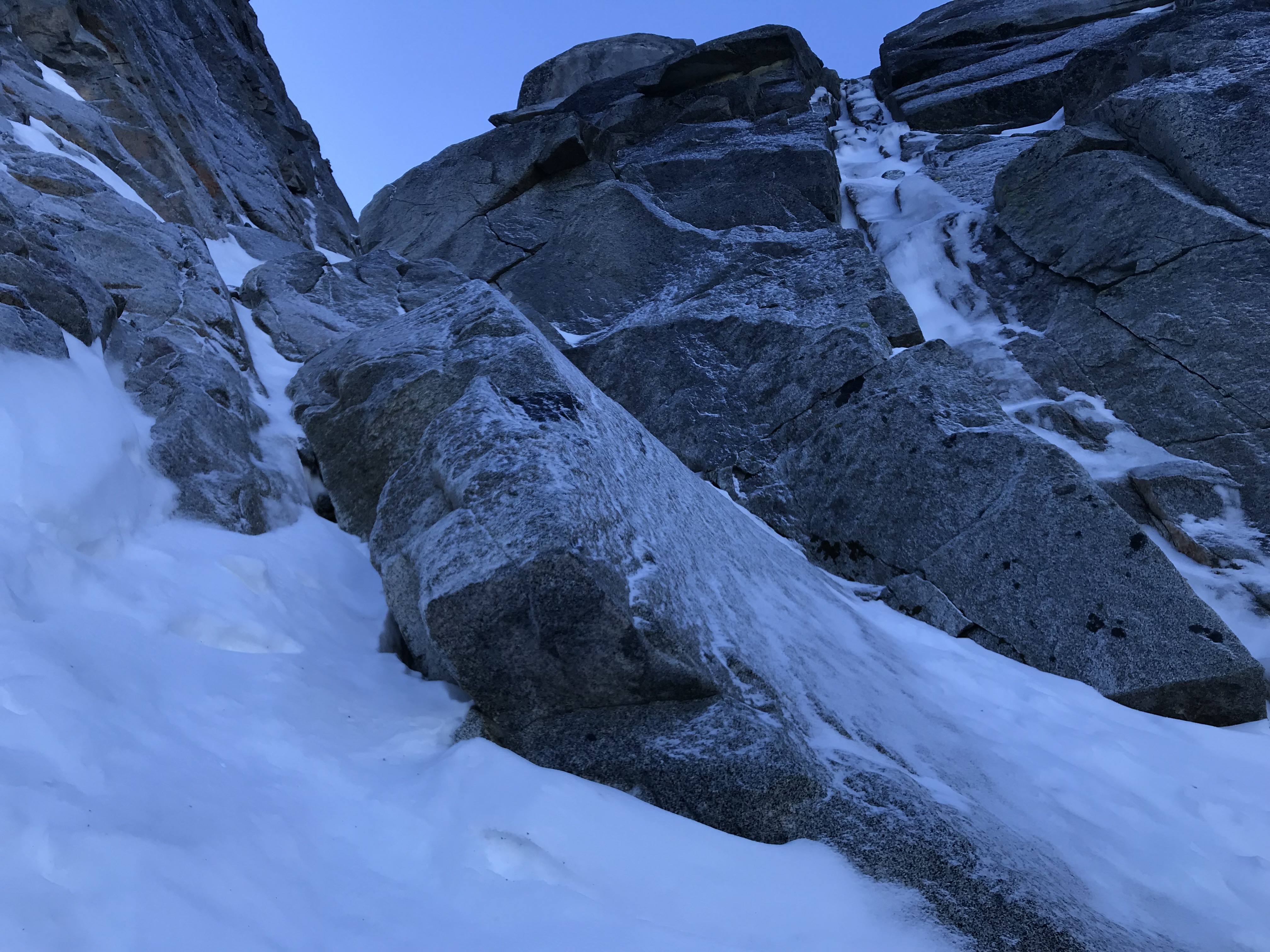
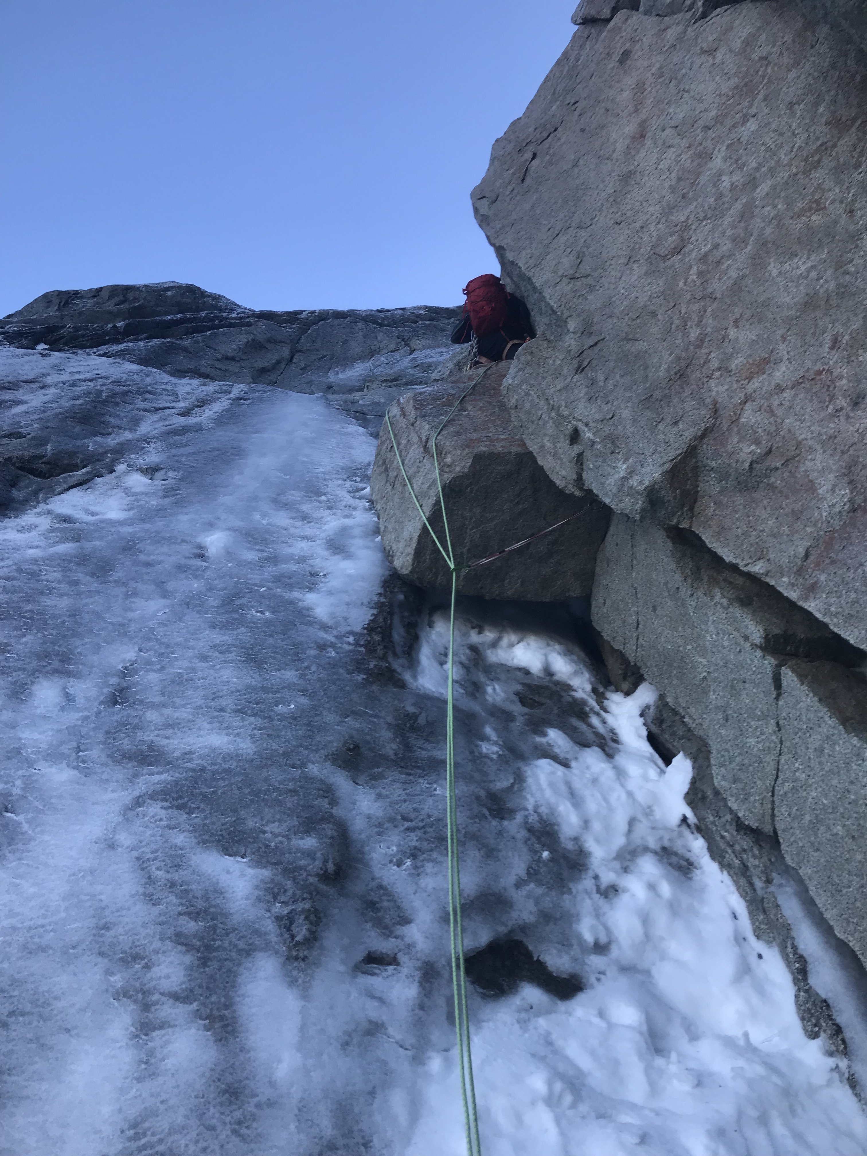
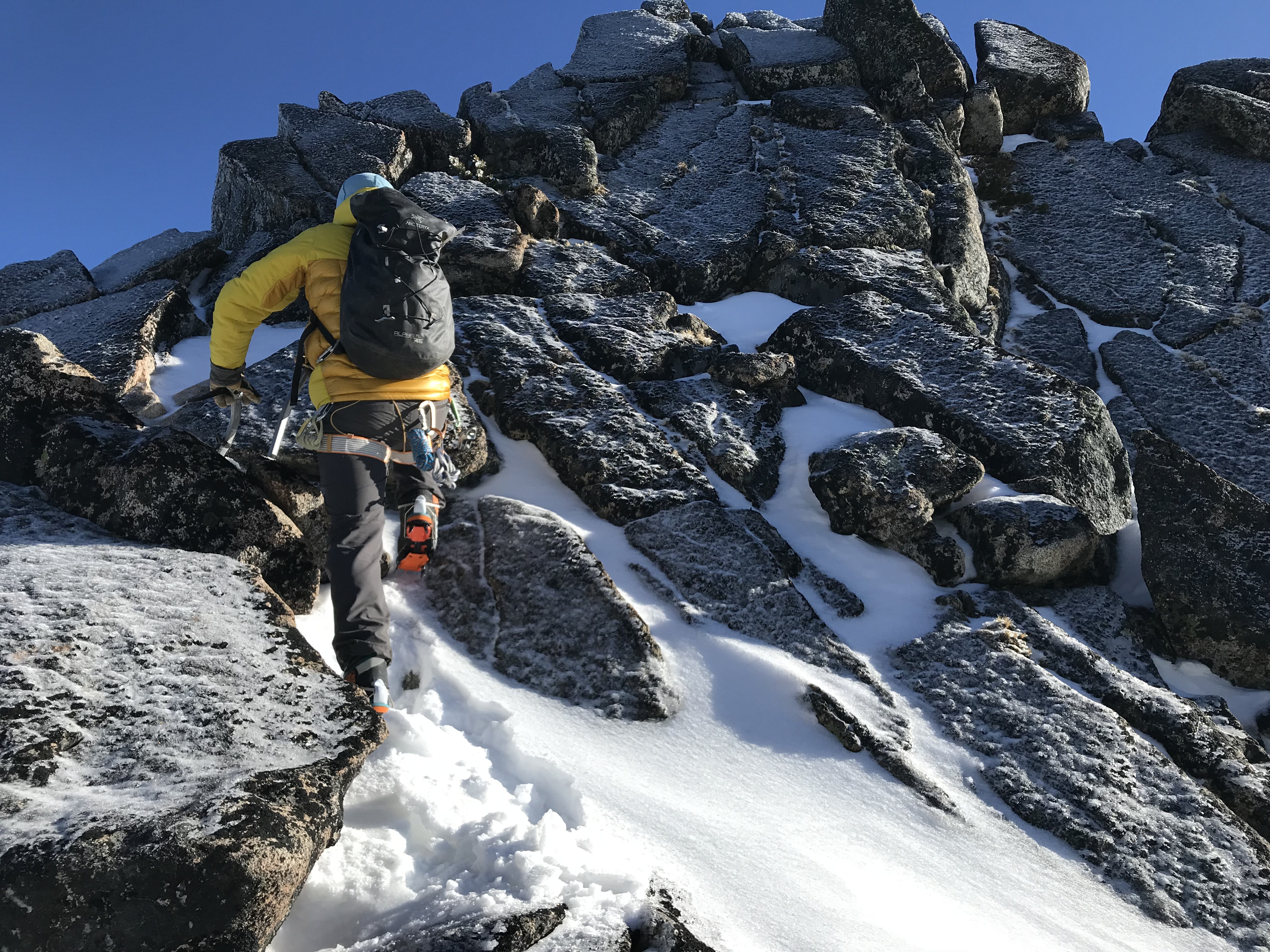
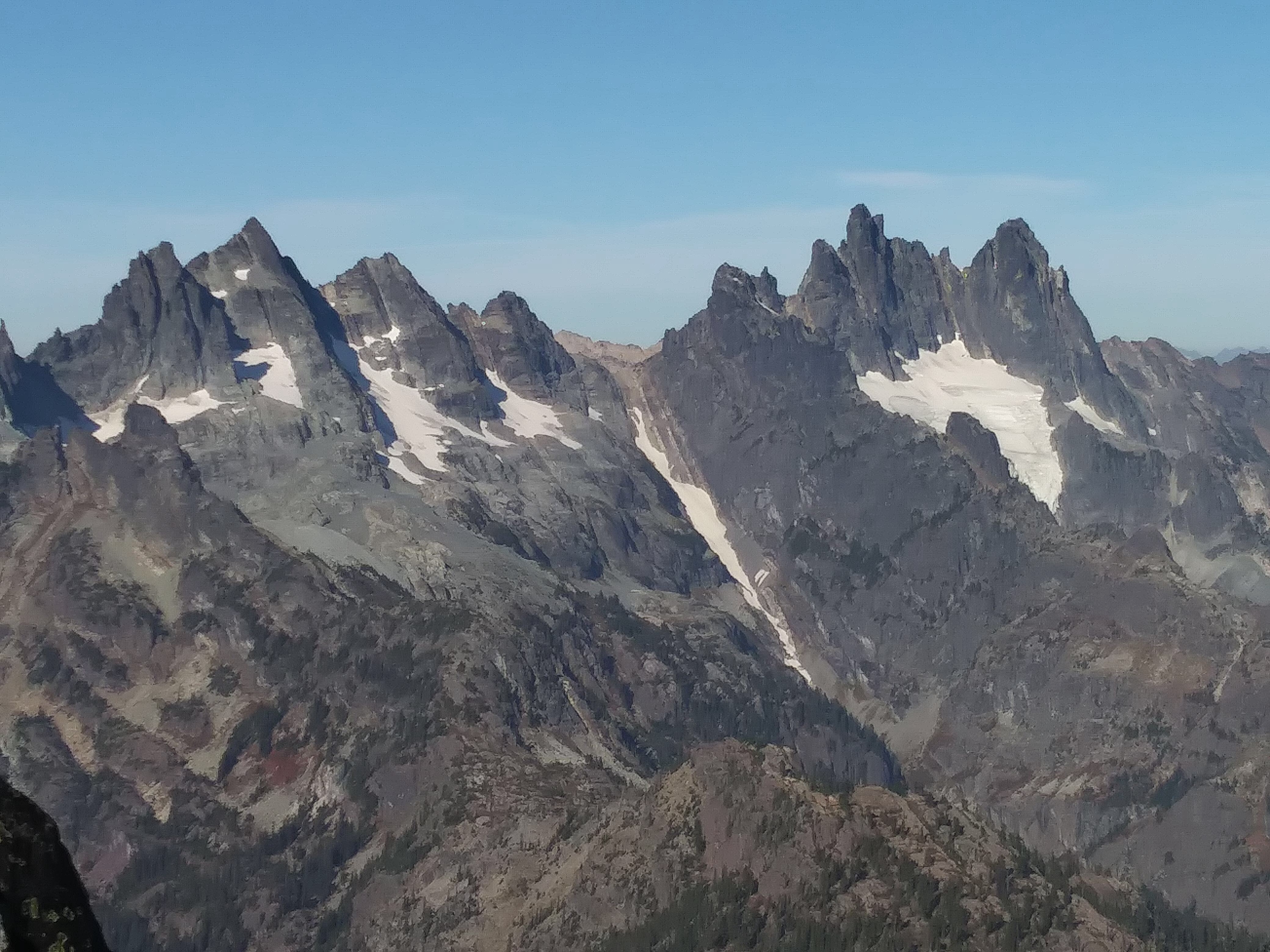
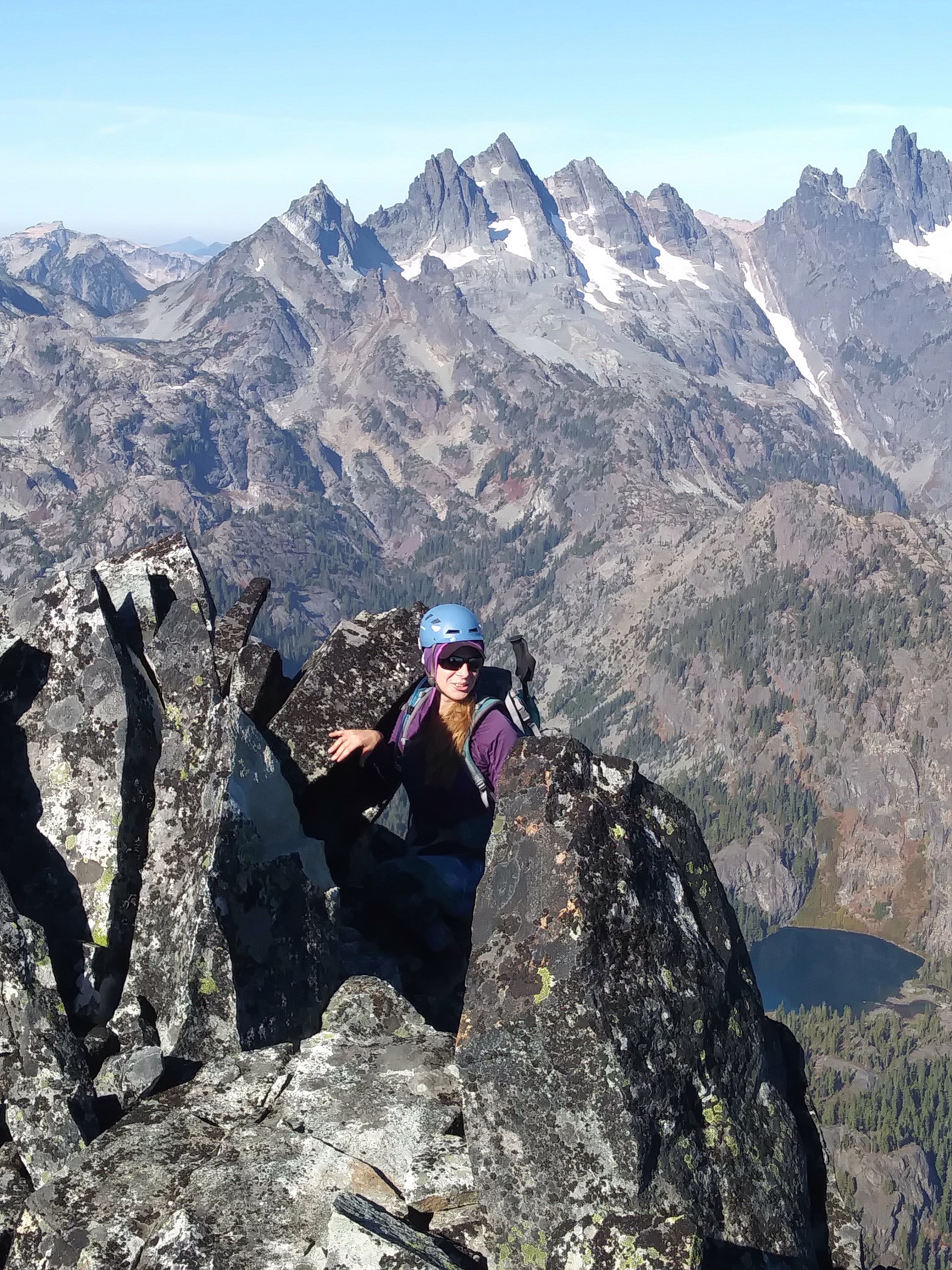
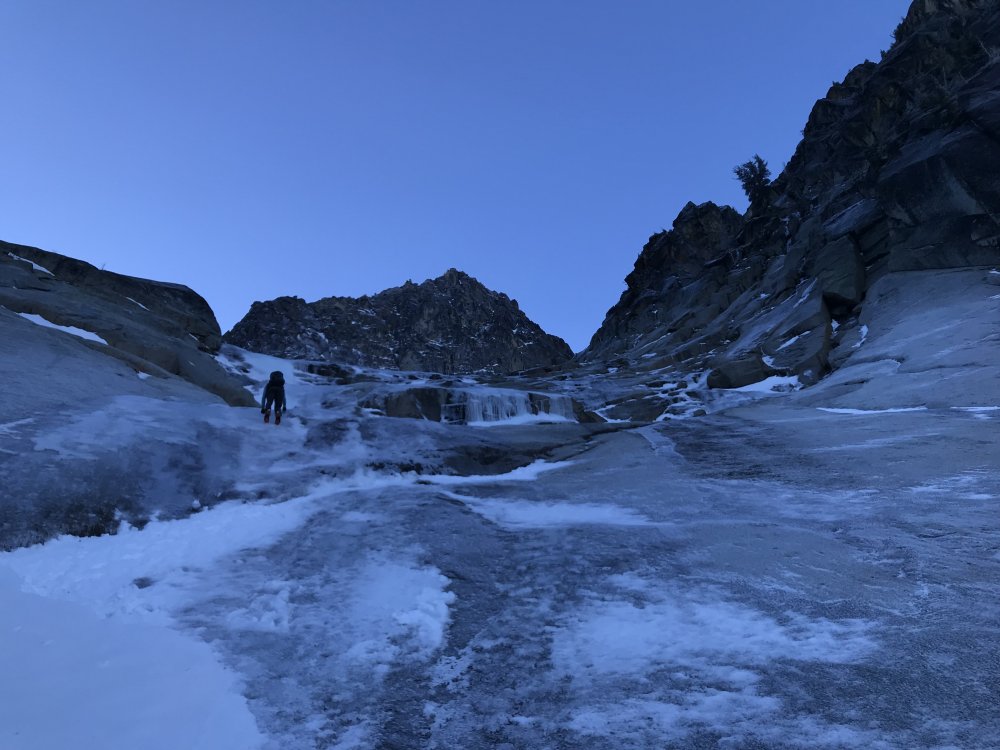
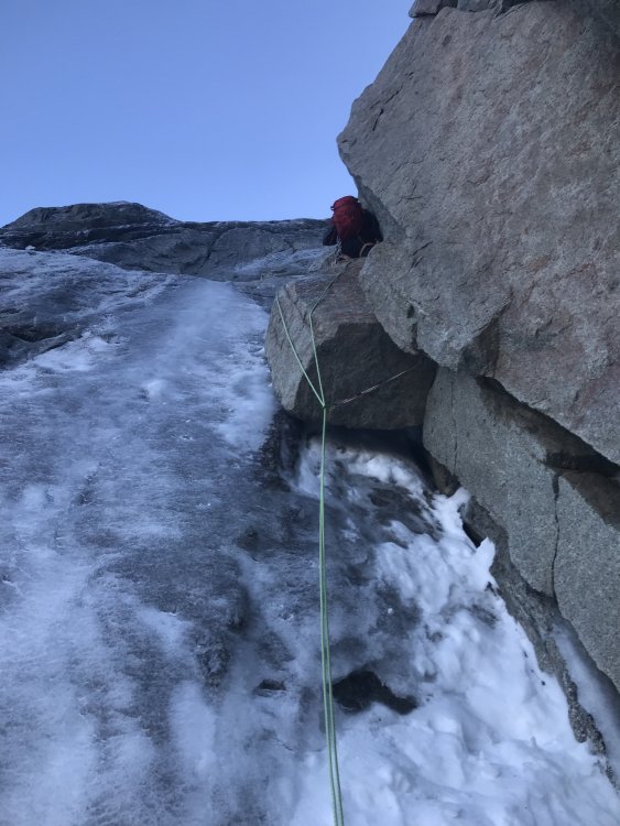
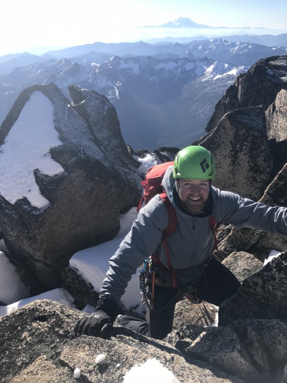
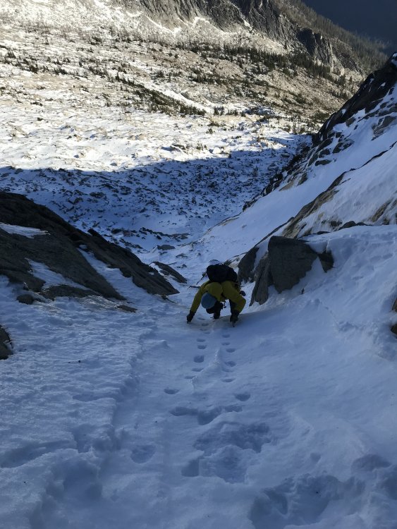
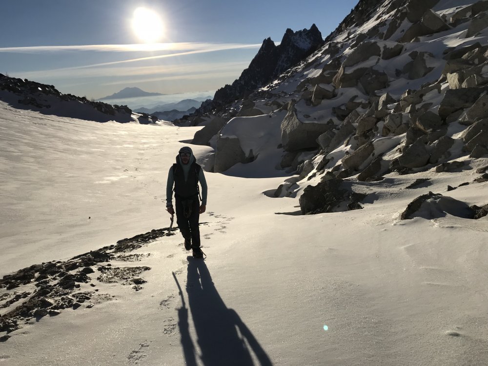
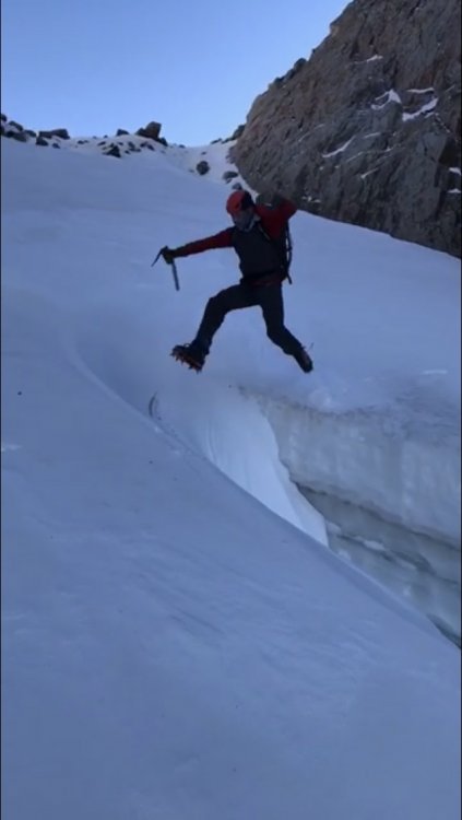
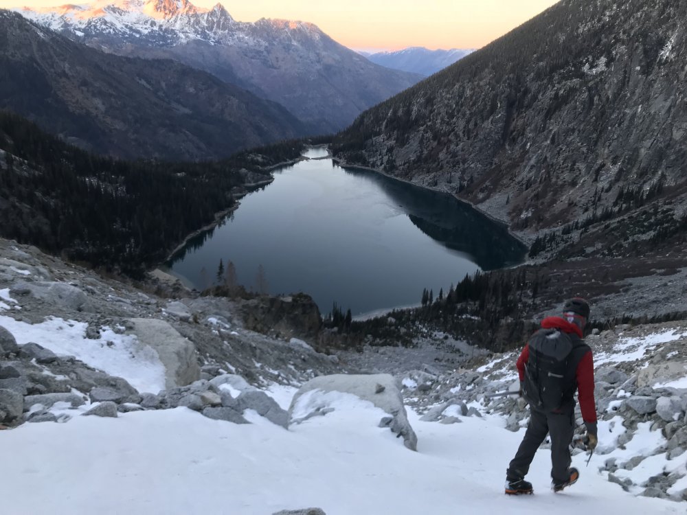
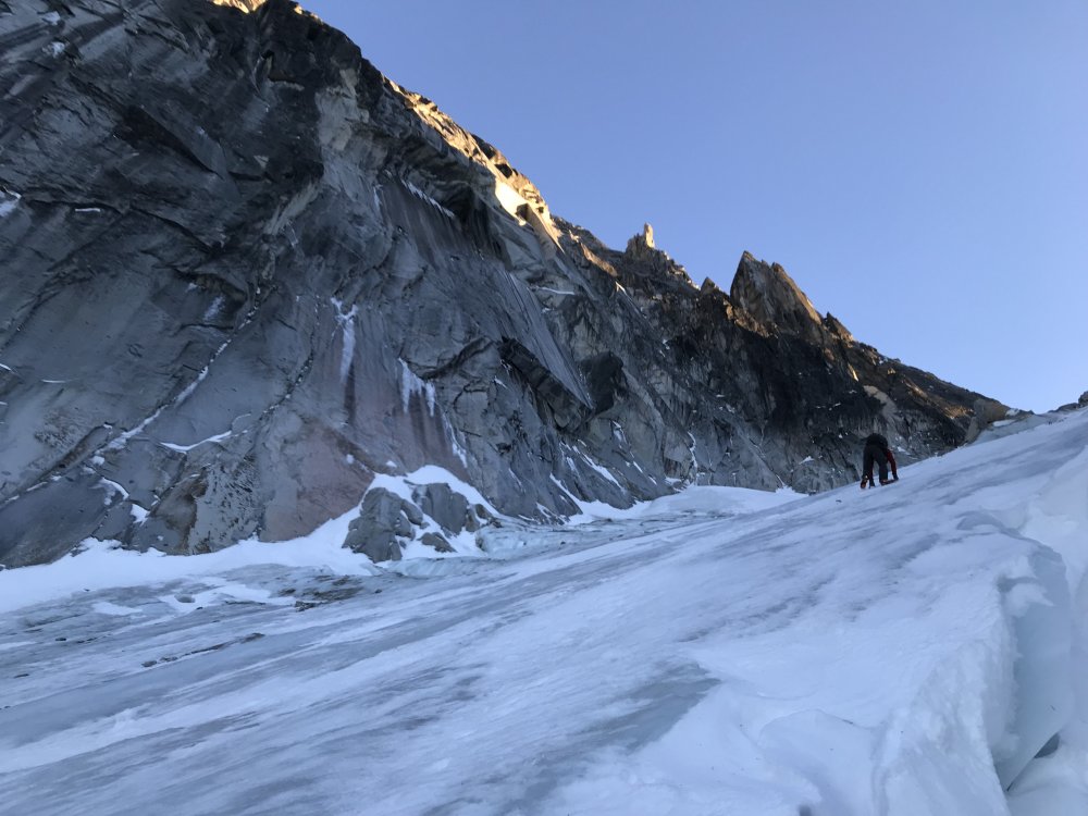
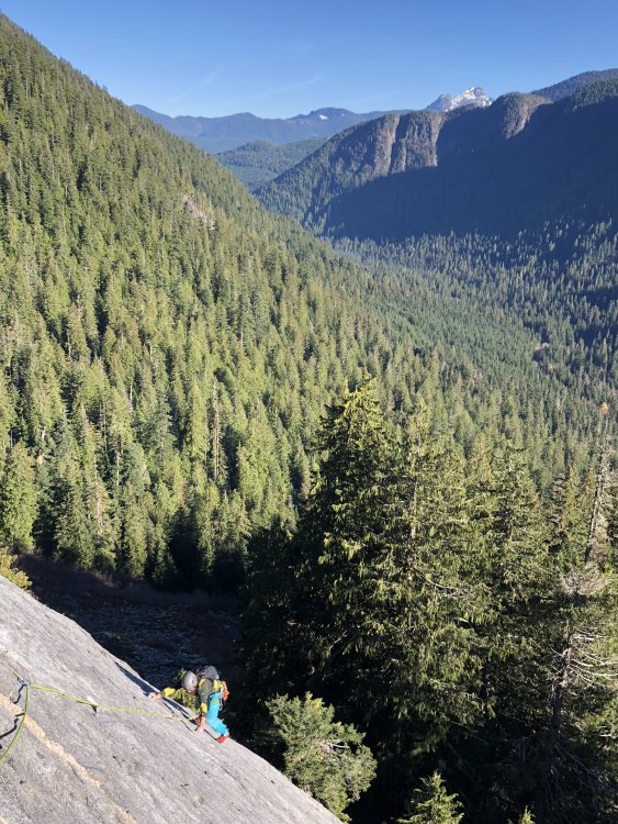
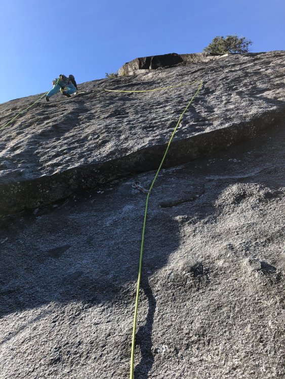
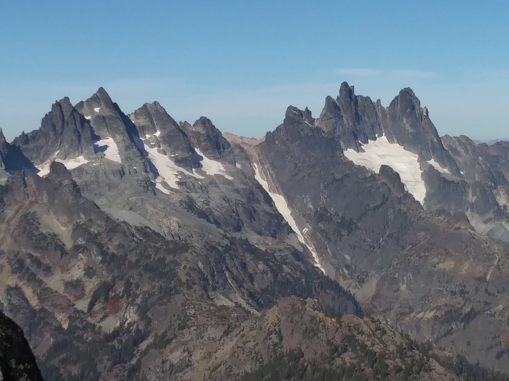
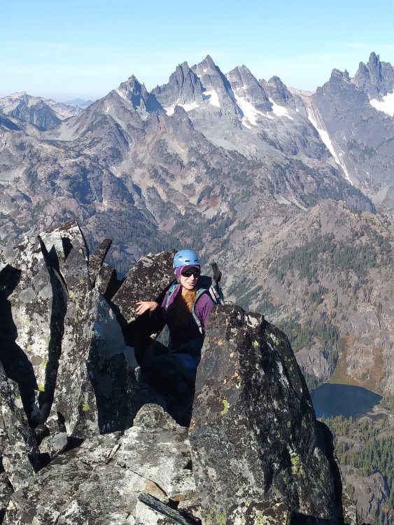
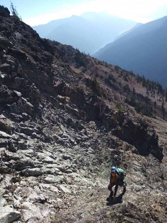
Trip: Argonaut Peak - North East Couloir Trip Date: 11/17/2018 Trip Report: Yesterday Conrad and I climbed the North East Couloir of Argonaut. We found fun, and challenging conditions. We left Leavenworth around 3:20am and were headed up the trail by 4:00am. We moved quickly along the trail to the spot we had decided we would branch off and cross mountaineers creek. Upon crossing, we filtered more water and started our bushwhack as it became light. After a while in the trees we ended up in a small boulder field and found a string of cairns. Though headed more toward Stuart we opted to follow. This proved to be fruitful as they led us toward the tree finger that allows one to avoid the bushwack from hell in the slide alders. We followed the beta from Jens Holsten posted on a previous TR that said "Here is the beta: After crossing Mountaineers Creek, cross over a wooded rib or two and then head straight south through the woods. DO NOT enter the boulder field until you have literally walked out the end of the woods as far south as the trees extend. At this point you can hook back left on a talus finger that avoids all that nasty bush whacking." Posted on a TR from 2011. This beta proved to be key and accelerated the approach. We ascended the talus and frozen dirt and caught up to a group of three. We never were close enough to talk as we went futher left to climb some approach ice smears. Approach Ice Once in the Couloir we soloed up to the first rock step. This had a steep smear of ice and proved to be great fun. The ice filled the crack enough that I had to run it out on the smear but felt pretty secure. From here we unroped and continued booting up the snow with a few sections of easy rock mixed in. We passed the alternate route that Jens mentions and opted not to take it due to it appearing to not take any gear. (Thin ice line in right of photo, will definitely take if I climb this again) Above this there was another steep rock step which we climbed on its right and turned out to be a one move wonder, one hook over the top followed by lots of grunting to pull myself up the to top of it. Following this pitch we unroped and continued all the way to the notch looking south. Should have gone right to gain the snow slopes at some point but we ended up here and wrapped around on to the south face. We found what looked to be our easiest line up from there and Conrad led this feature up mostly rock with a snow dusting to the snow slopes (sorry, no photo, but it was very difficult and pretty heady, glad I didnt lead it). We booted up a nasty breakable crust to the summit ridge. This was exposed but fairly easy and we opted to solo everything. After a summit snack around noon (I think??) we retraced our steps and following one rap on tat we were in the col at the top of the couloir. (Photo climbing on to summit) Retracing our steps: We continued down the East ridge another 30ft to another tat anchor and rapped from here into the top of a snow gully leading south.We booted down this to the flatter southern slopes. We chose to descend the col between dragontail and colchuck peak to colchuck lake so we started our sunny slog to there. Once at the col we could tell light was starting to fade and we had long since finished out water so we didn't lollygag. We started down the Colchuck Glacier and quickly hit the bergshrund. There was a thin snow bridge that we chose not to trust and instead took the leap... We found lots of steepish exposed glacial ice and spent a lot more time on the front points as we climbed down toward the lake. Eventually we ran out of snow and ice and switched to approach shoes and started walking down the rocks (now covered in frost). We made it to the trail right about when we needed our lights and has a nice (read: long and tired) walk out, arriving back at the cars at 7:00. For future fall climbers, the thin ice line to the right in the third photo appears that it would be a very fun alternate route. This is a very fun fall alpine route! GPS Track, (disclaimer, we didn't follow the best route 100% of the time) http://www.movescount.com/moves/move254799988 Gear Notes: We took 3 screws and never placed one, but would still take one or two because ice was around. A few nuts and a few cams from fingers up to bd #2 proved to be most useful. Had pins but never placed any. Approach Notes: Follow the cairns if you find them and take the tree finger up as much of the talus slope as you can (stay further right than you'd expect).


 3 points
 -
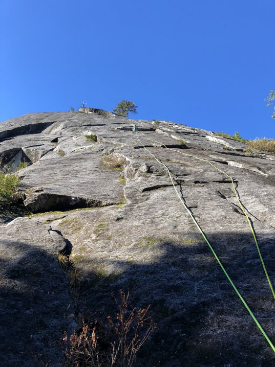
I had a spectacular day up there yesterday. Ive been climbing up here for ten years now and really appreciate the bolt replacement and general maintenance that has been happening. I climbed the Kone yesterday and every bolt was shiny new. Even the majority of bolts on the descent (Gastroblast) look brand-spanking new! Makes me want to finally climb that route. My first route in Darrington was Till abroad Daylight with, then, my future wife and it was a memorable moment early in our relationship. I may have not thought it so enjoyable if I had any idea how sketchy the ancient quarter inchers and button heads were! This route has also been upgraded to modern 3/8 stainless steel hardware btw. Anyway, just wanted to say thanks and hope one day I will make the time to give back a bit more myself.
 2 points
 -
Trip: Red Rock - FA Jedi Mind Tricks 5.10 A2 V Trip Date: 11/09/2018 Trip Report: Hello! I wrote up Sam and I's first ascent on my blog. I figure I would copy the link here so others could check it out. I'm also working through Training for the New Alpinism in my blog, if you're interested in seeing how that is going. https://wp.me/p2nZJM-6v Cheers! Kyle Gear Notes: double rack to 4, heavy on micros and #5 and #6 cams. a few LA's, #1 KB's and #1 beak Approach Notes: Same as for Dream of Wild Cheeseburgers or Original route with approach pitch of 5.91 point
-
Different bolts. These are new from my last go of the route two weeks ago. ??? Not sure what you're referring to here... Kev reached out to me about fixing it and I need to get to it. A bit of a challenge, but doable. However, the pressing issue up there at the moment is that it's now a complete nightmare of loose rock that's going to take a substantial effort to clean up. As it is it's only a matter of time before a bunch of it ends up raining down on the base of the SE Corner and possibly killing someone. Maintaining Beacon requires far more than re[tro]-bolting, building unneeded platforms, and destroying beautiful little trees that didn't need cutting. It requires formally organized and coordinated loose rock cleanups at least once every five years and preferably a loose rock survey prior to every open to determine if any threats to climbers or the railroad developed over the winter which needs to be cleaned up.1 point
-
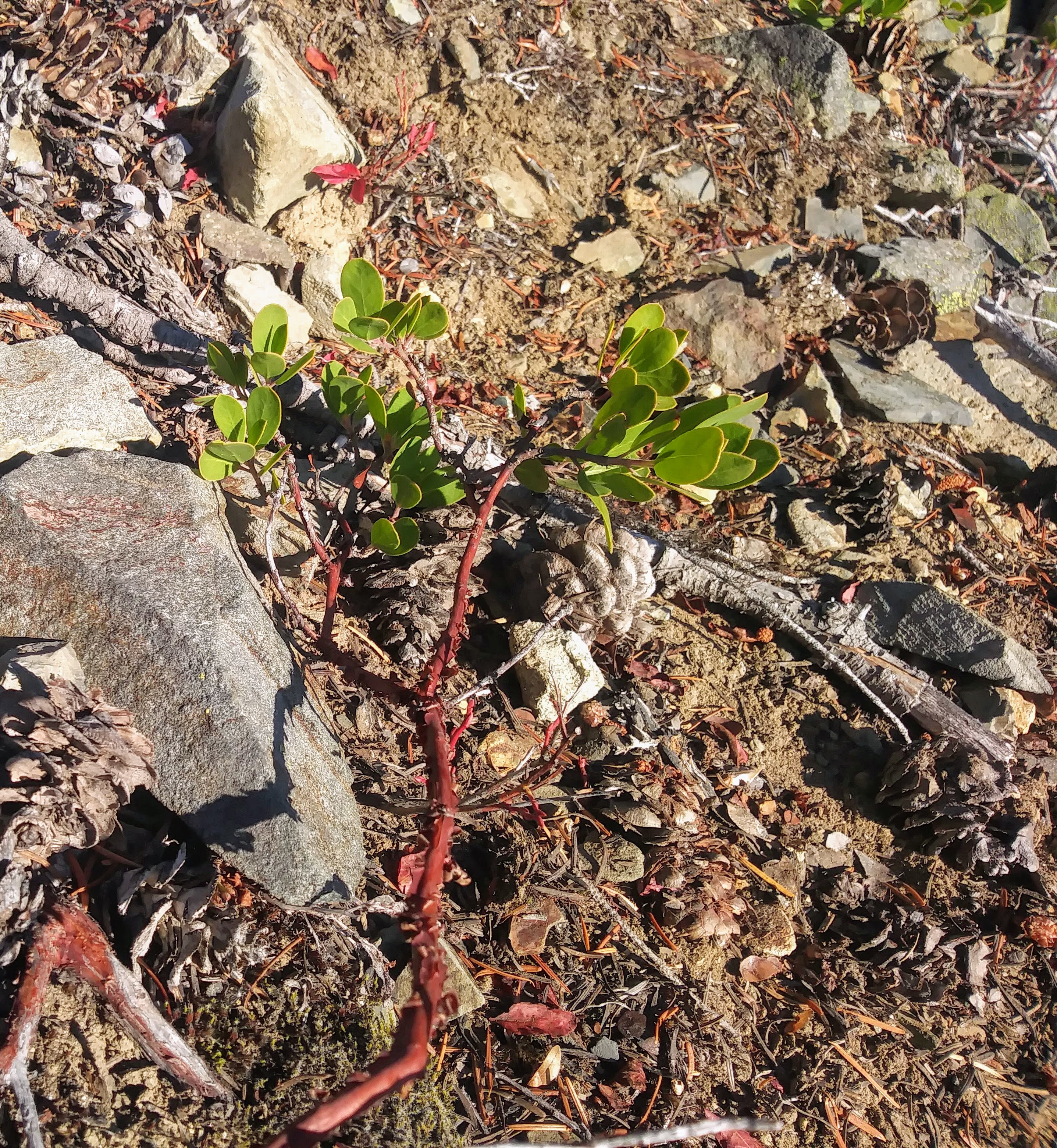
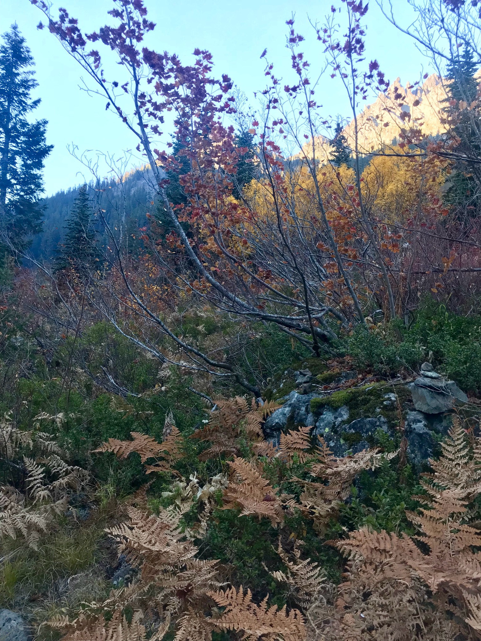
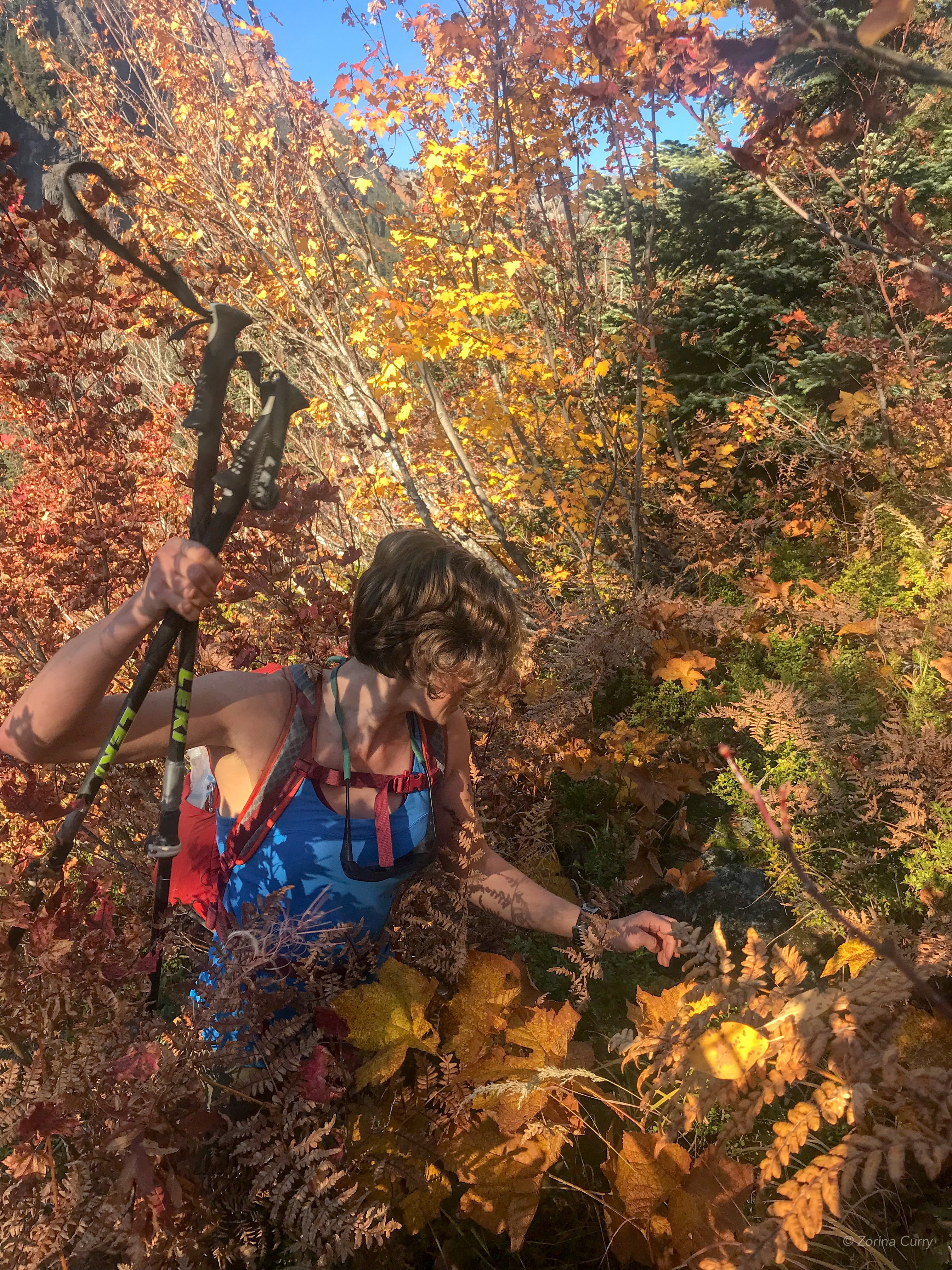
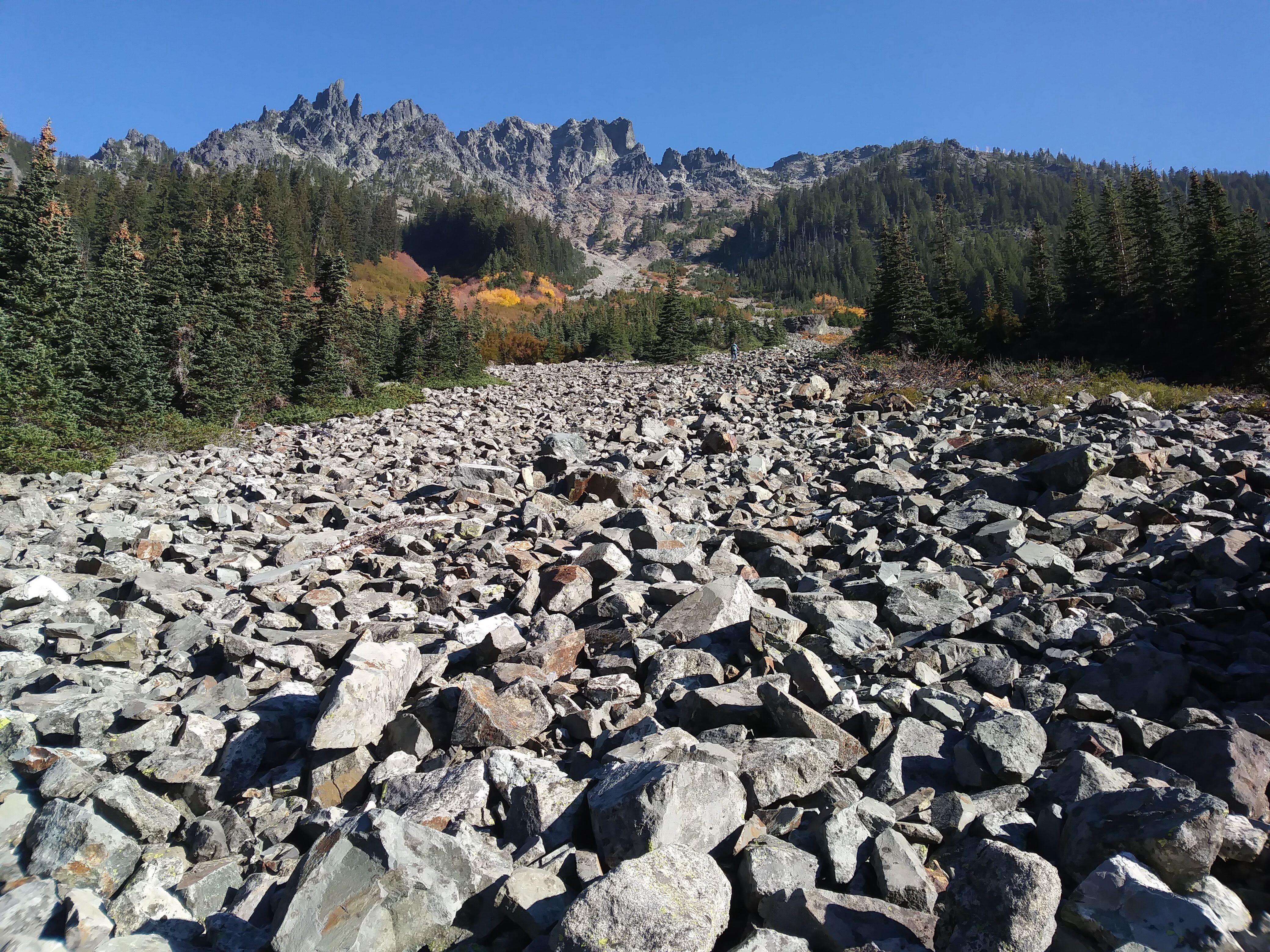
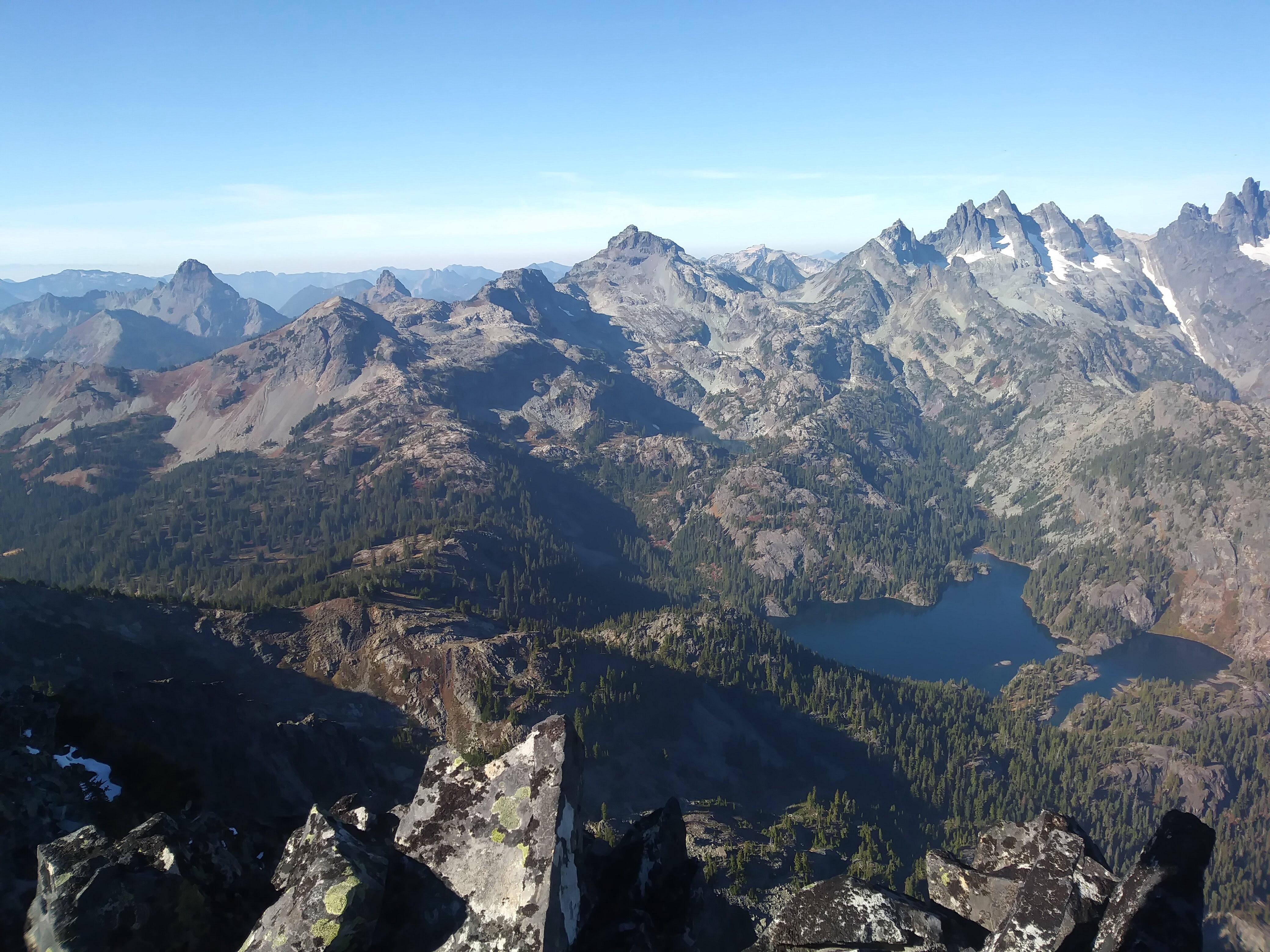
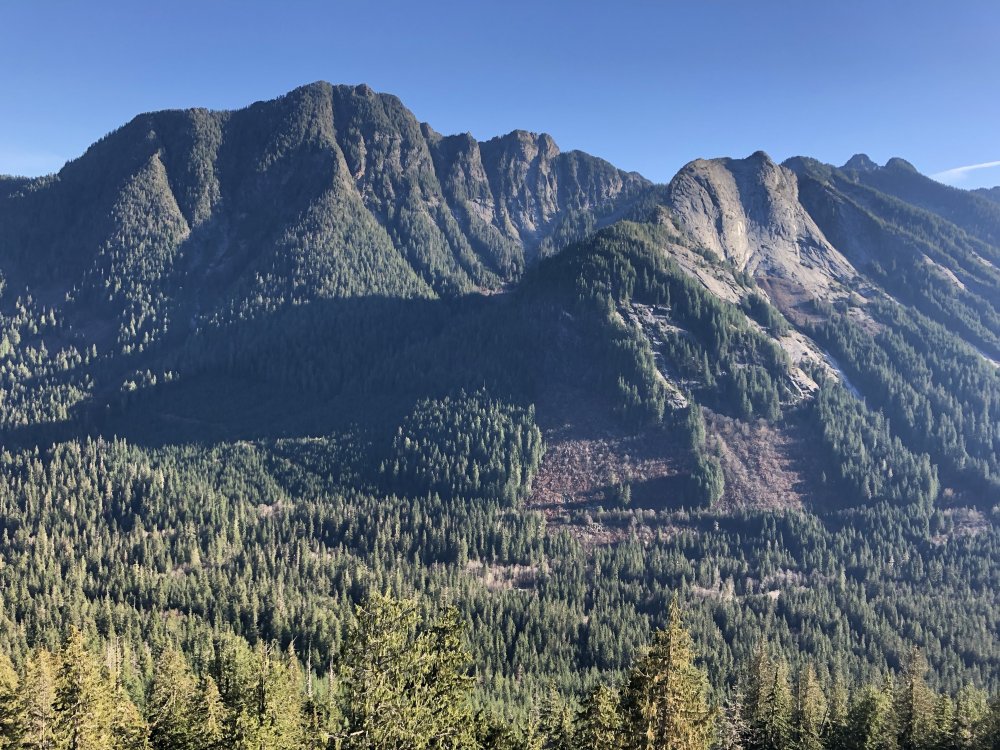
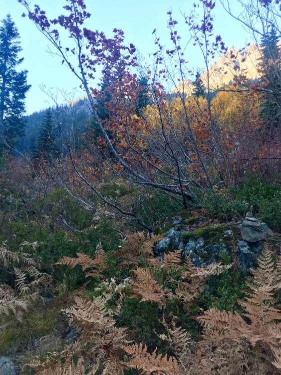
Trip: Three Queens - SE Shoulder Trip Date: 10/21/2018 Trip Report: I decided I needed some choss time before it was buried in the pow that IS coming soon, so yesterday, Zorina and I climbed the east peak of the Three Queens formation. It's southeast of Chikamin (somehow I feel that the three people who read this TR already know that...), and it was lovely!!! Tank top dry rock scrambling in late October, blue skies and sunshine in the Alpine Lakes Wilderness!! And only one person seen the entire time (a hiker whose turn-around time was 9:30?). We got a good alpine start at a bit past 9 AM and set off on a good pace on the Mineral Creek Trail. We had about three trip reports plus Beckey's description. We'd read about a "social trail" (leading to a brief brush battle) but the beginning of the brief battle was actually marked with a cairn, just about thirty seconds after we could see the talus field and we started looking for it. Sweet! Photo by Zorina Slide alder, etc. was short-lived. Photo by Zorina We agreed on the notch we were aiming for. That's always good. The talus field was a talus field. I set off a crazy avalanche of rocks, which was exciting. We got up onto a vegetated rib thing when we could, and that was fairly pleasant. What is this plant? It looks like manzanilla, but I don't think I've seen manzanilla around here... The fun scrambling began and we started following the "no kicking rocks onto your partner" rule. The key class 3 vegetated ledge was obvious and before we knew it, we were on the ridge and then on top!! That was quicker and more straightforward than we'd anticipated, we agreed. Maybe we should have more confidence about this kind of thing. Beckey says "5 hours from trail" and Klenke (Summitpost) says "5 hours from trailhead"...either way, we were on top in 4:15 and were happy to beat the Beckey time :-) Rainier, Glacier, barely MSH, Hibox, Alta, Thompson, Huckleberry, Kaleetan, Chair, Chikamin, the Lemahs, Chimney Rock, Summit Chief...Stuart! So beautiful... And the long couloir between Lemah and Chimney Rock?! Crazy! I am trying to find more information on it. Beckey describes one northern remanant of the Lemah Glacier as a "narrow 0.6-km ice couloir in the upper Leah Creek depression, beneath the 6,480-ft gap." Interesting! Has anyone skiied this? The way down was luckily uneventful, helped by a vivid imagination: snow over talus and skis on our feet... After thinking about getting rich off fool's gold, we picked the wrong talus finger to follow down (dang) and had to go back up and around. 10 minute delay? Back through the bushes, back onto the trail, no need for headlamp, and back to the car a few minutes past 6 pm. As we entered Roslyn, Zorina checked the traffic on I90 and saw that there was a 2-HOUR DELAY. Whaaat?! Crazy. So we went to this awesome place called Basecamp, which I feel like I should have known about before. Coffee, beer, food, books, maps, local art stuff. Great place to pass the time! We enjoyed looking through the newspaper's police beat: We walked around Roslyn and then finally Google said there was only a 20 minute delay, so we left and got back to Seattle around midnight. Gear Notes: Helmet Approach Notes: Over, through, up, through, around, along, up, along, up


 1 point