Leaderboard
Popular Content
Showing content with the highest reputation on 09/13/24 in all areas
-
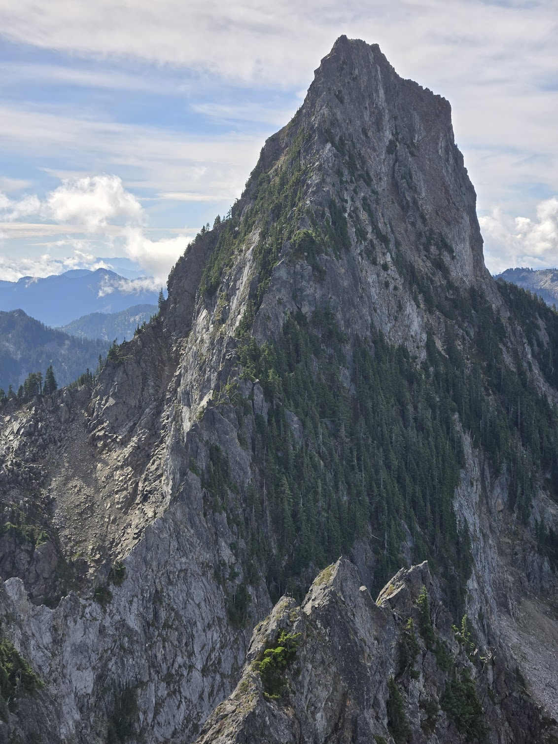
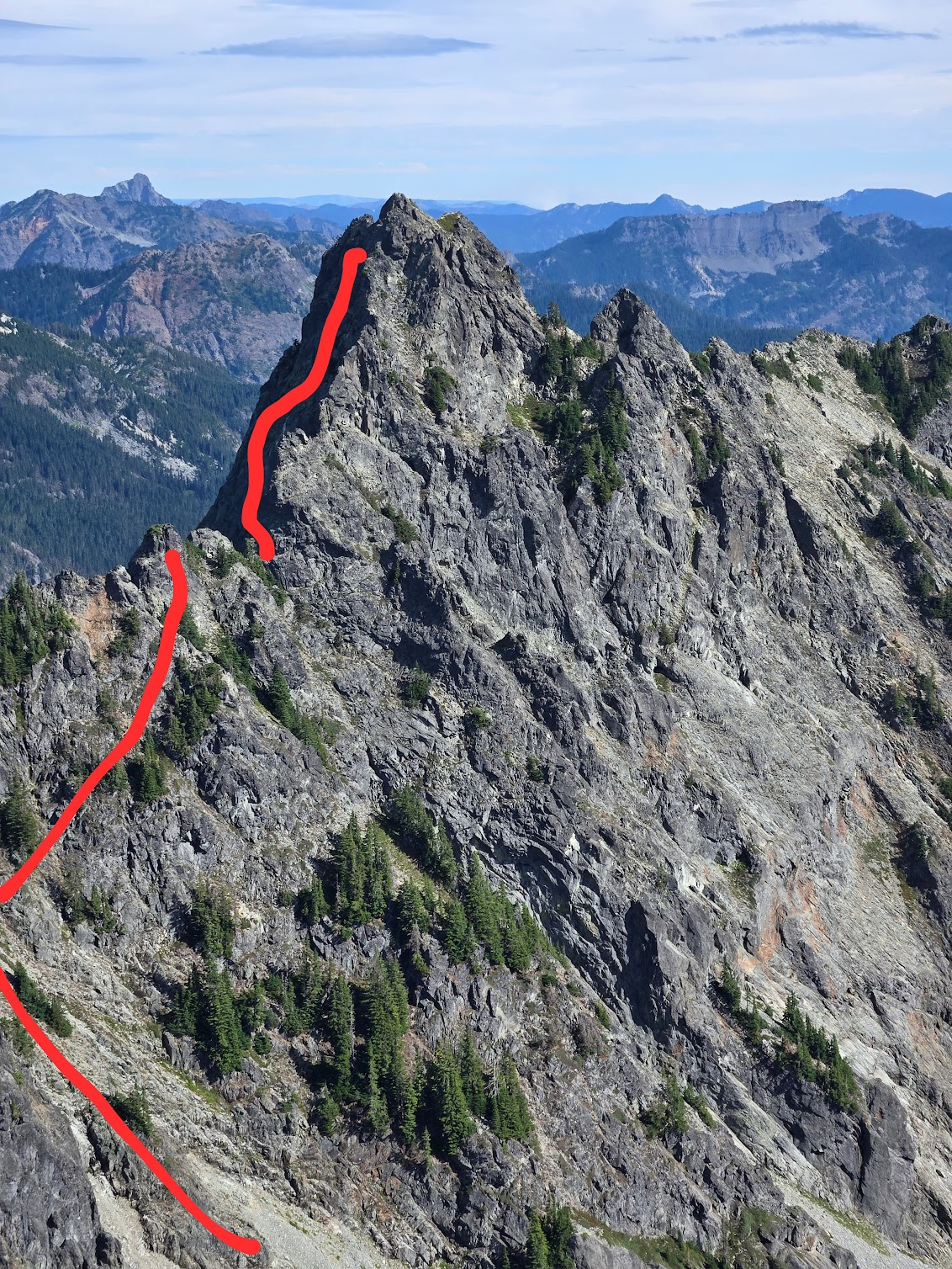
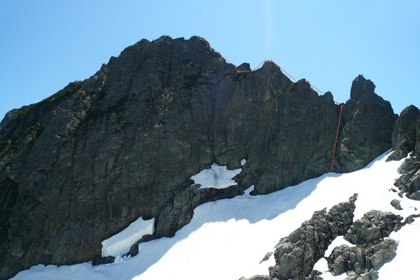
Trip: Roosevelt + Kaleetan + Chair Peak Date: 9/10/24 Trip Report: tl;dr: Alpental -> Roosevelt standard route -> Kaleetan White Ledges -> suuuuper roundabout way to access the NW ridge of chair -> standard Chair descent -> Alpental. Having scrambled up all three of these peaks independently, I had some suspicion that a linkup was possible that started and ended at Alpental. The intention was to make this a similar-feeling neighbor to Climber Kyle's CURL -- not a pure circumnavigation of a basin, but a fun peakbagging romp with more than enough no-fall terrain to make things interesting. I met up with Marc to realize this goal, thinking that we'd scramble up Roosevelt, then follow the North Ridge of Kaleetan (5.2?), and then go up the West Face of Chair (Beckey 4th, no TR's that I can find). Emphasizing again, this is a scramble, so no ropes allowed. We did bring rock shoes and are both glad we did. We started up towards Snow Lake at 7:20AM, and enjoyed the easy trail until maintained trails gave way to social trails as we approached Mount Roosevelt. It was great to meander around Snow Lake with none of the weekend hordes. Mount Roosevelt, is an easy class 3 dirt slog, with a few fun rock moves towards the top -- certainly interesting enough to make it into the linkup. From here we descended the standard route, and then cut south to enter the gulley just SSE of Roosevelt, setting our sights on Kaleetan. We ascended the loose dirty gulley to gain the notch of N Ridge Kaleetan, enjoying a short low-fifth step to access the notch. We then followed easy ledges and scrambling on the west side to gain the ridge proper and take a gander at the knife-edge of Kaleetan. My head game has been out of whack lately, so as we both eyed up the knife-edge and the true start of Kaleetan's North Ridge, both Marc and I decided that it looked a little too spooky for how we were feeling that day. We revised the plan to instead take Melakwa Pass to the White Ledges of Kaleetan. So back down the dirty approach gulley and over Melakwa pass we went. The White Ledges are truly a joy -- definitely a much more fun way to get up there than the standard route, and much faster, too! A quick jaunt up let us sight what seemed to be a viable line up Chair Peak. Foolishly, I ignored everything written in the Beckey bible (route description, topo, etc), apparently forgetting that I had taken photos of Beckey the day before. Turns out the White Ledges also make a stellar descent route, too! Instead of adhering to the West Face 4th class description, we opted to take an easy left-leaning gulley approximately 0.5mi north of upper Melakwa lake. The plan was to ascend this gulley and then zig to the south, eventually gaining enough elevation to traverse south along what we spied as a ledge system near the summit and eventually suss out a route up the summit block. We reached the base at 4:30PM and started up the gulley. The initial going was easy third class slab, and at a junction of two ascending gulleys, we opted to go up and right with some fourth class grassy sidehilling. We ultimately probably ascended too much and found ourselves very close to the NW ridge. Continuing to traverse underneath the gendarmes seemed exceptionally treacherous, so we took our chances and peered over a notch in the ridgeline. The east slope seemed like much easier going but offered minimal promise of regaining the ridge. There was some discussion of bailing since we were explicitly trying to avoid sustained class 5 travel and were running the risk of losing the light. We dropped off the notch onto the east side and were sighting possible exit opportunities, when an easy-looking gulley/couloir presented itself, one gendarme to the south. The time was now 5:20, and we had roughly 2 hours before headlamps would have to come out. Wanting to give the summit the old college try, we decided to regain the ridge and see what we could see. I was thoroughly sketched out so I paused to don rock shoes while Marc ascended the gulley in his approach shoes. Stemming up this dihedral felt slightly committing and definitely something I didn't want to undo. I caught up to Marc who was perched on a ledge beneath a chockstone guarding the ridge. He was a little stuck and wanted to see if I had any ideas. I stepped out to the right, doing a short sequence that felt mid-5th class with serious consequences. Back on the ridge, we were still flummoxed by a line of gendarmes. We were generally pretty unhappy here, since this no longer felt like scrambling. I vaguely recalled that the NW ridge of Chair goes at 5.7. Faced with the option of trying to find some unknown cliff-free descent to bail or just to solo the 5.7 route to unlock the 3rd class South Shoulder descent, we reluctantly decided to keep ascending. We traversed under the next gendarme on the W side and then regained the ridge proper in a chimney with a chockstone. Here Marc switched to rock shoes and we started up the 5.7 NW ridge. Most of the moves were low-fifth on rock of dubious quality, but aside from a move or two that felt slightly harder, everything felt fairly easy and it was a really pleasant climb! Maybe above my pay grade for a solo, but very attainable. It was comforting to be back on a "known" route -- we even saw a few pins at an obvious belay stance! Taking our time, we reached the true summit at 6:30, with ample time to descend the circuitous sections of the standard scramble route up Chair. Headlamps came out at some point, talus was hopped over, we made it back to the cars around 9:40PM for a 14h20m c2c. Photos: N. Ridge Kaleetan Best guess of the line we took up Chair Better topo I stole from the internet somewhere showing the NW ridge of Chair. Gear notes: Rock shoes were really nice to have. If early season, I'd want to bring an axe and some traction. Rope and rack not necessary. roosevelt-kaleetan-chair-91024-71853-am (corrected).gpx1 point
-
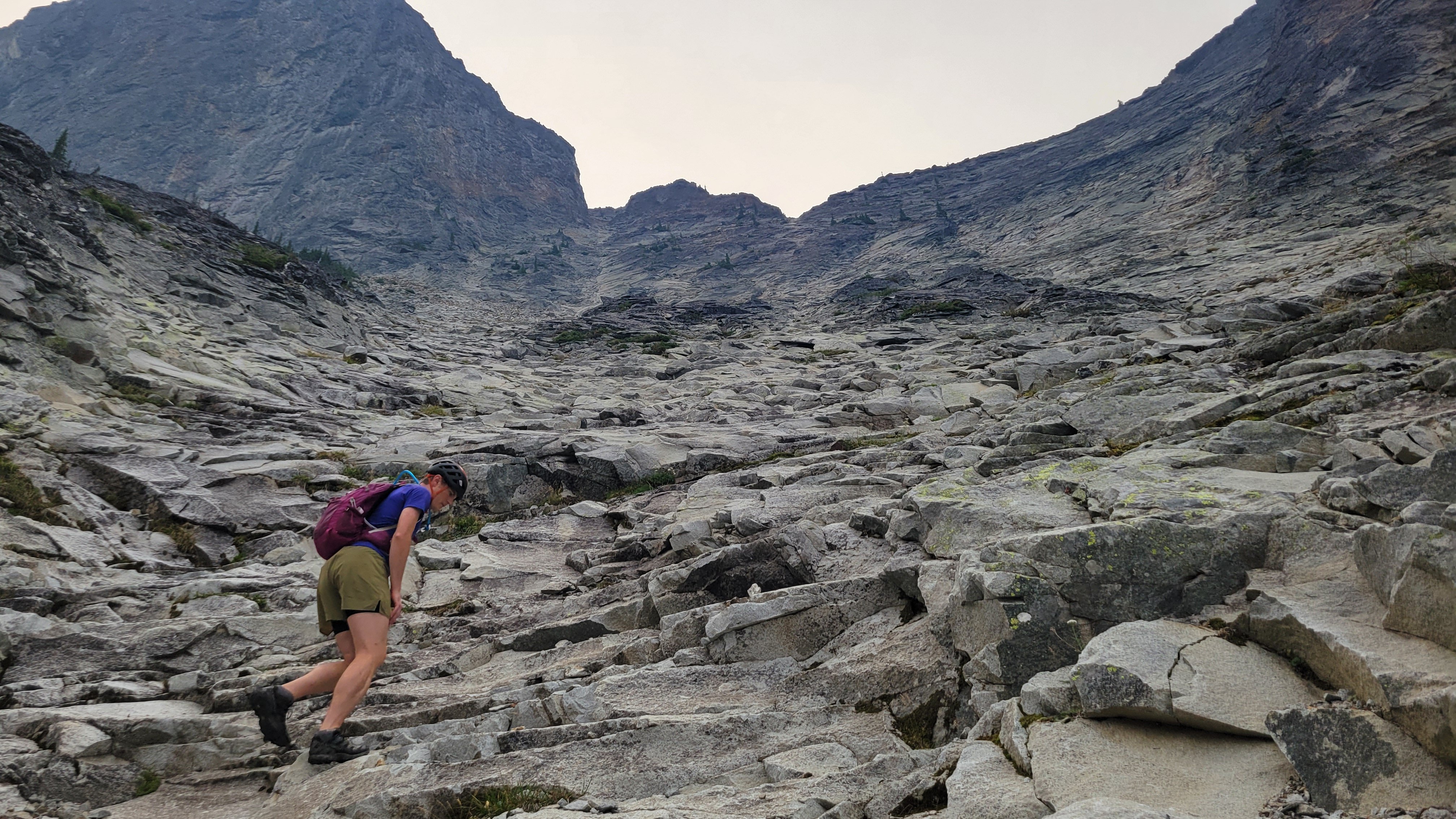
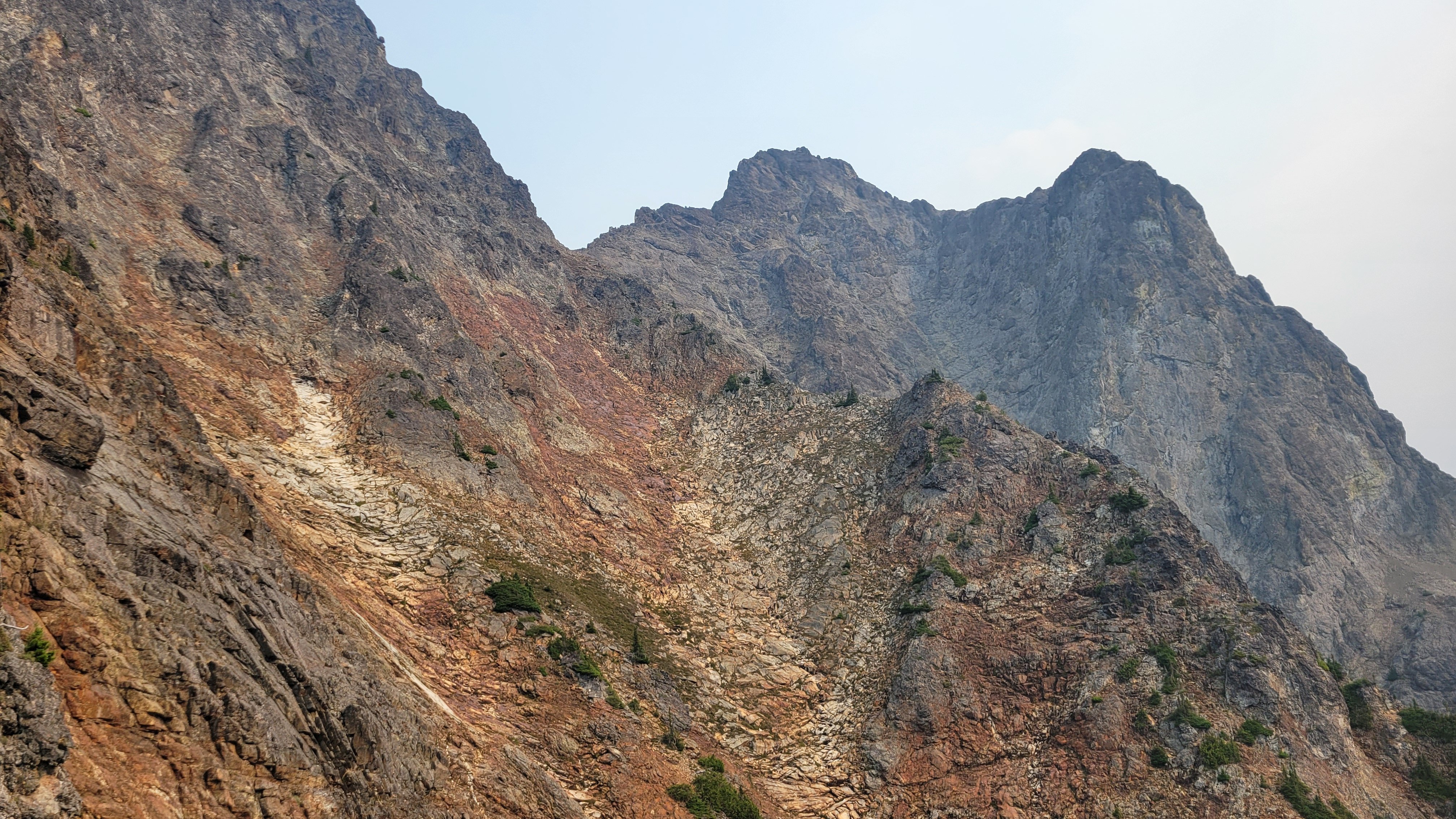
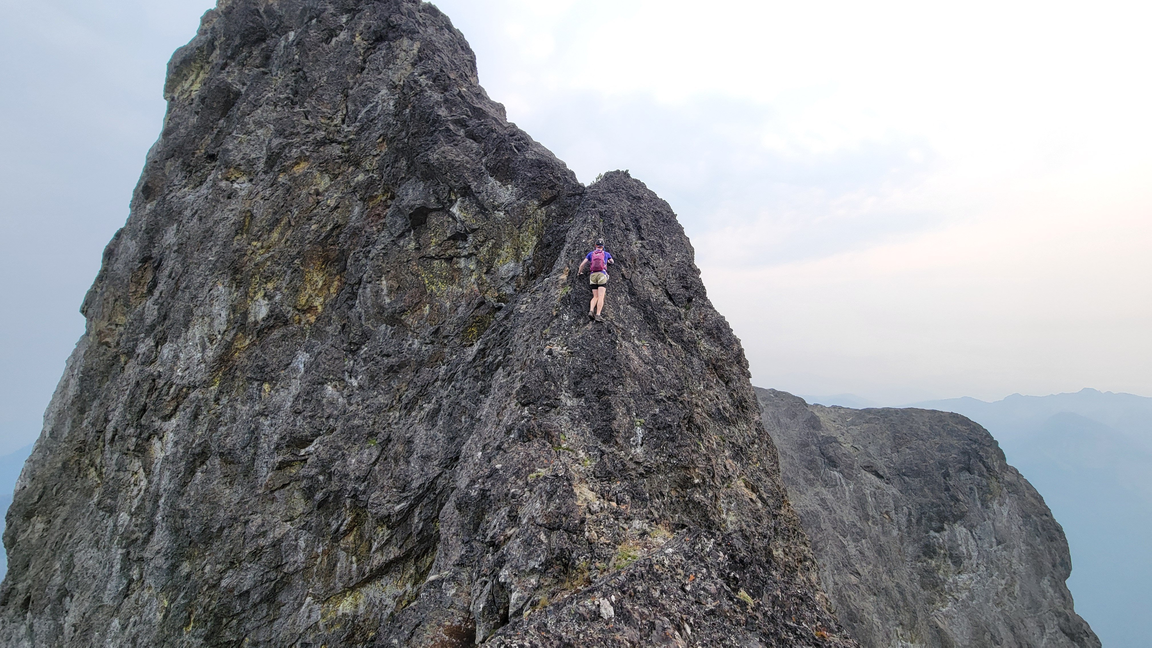
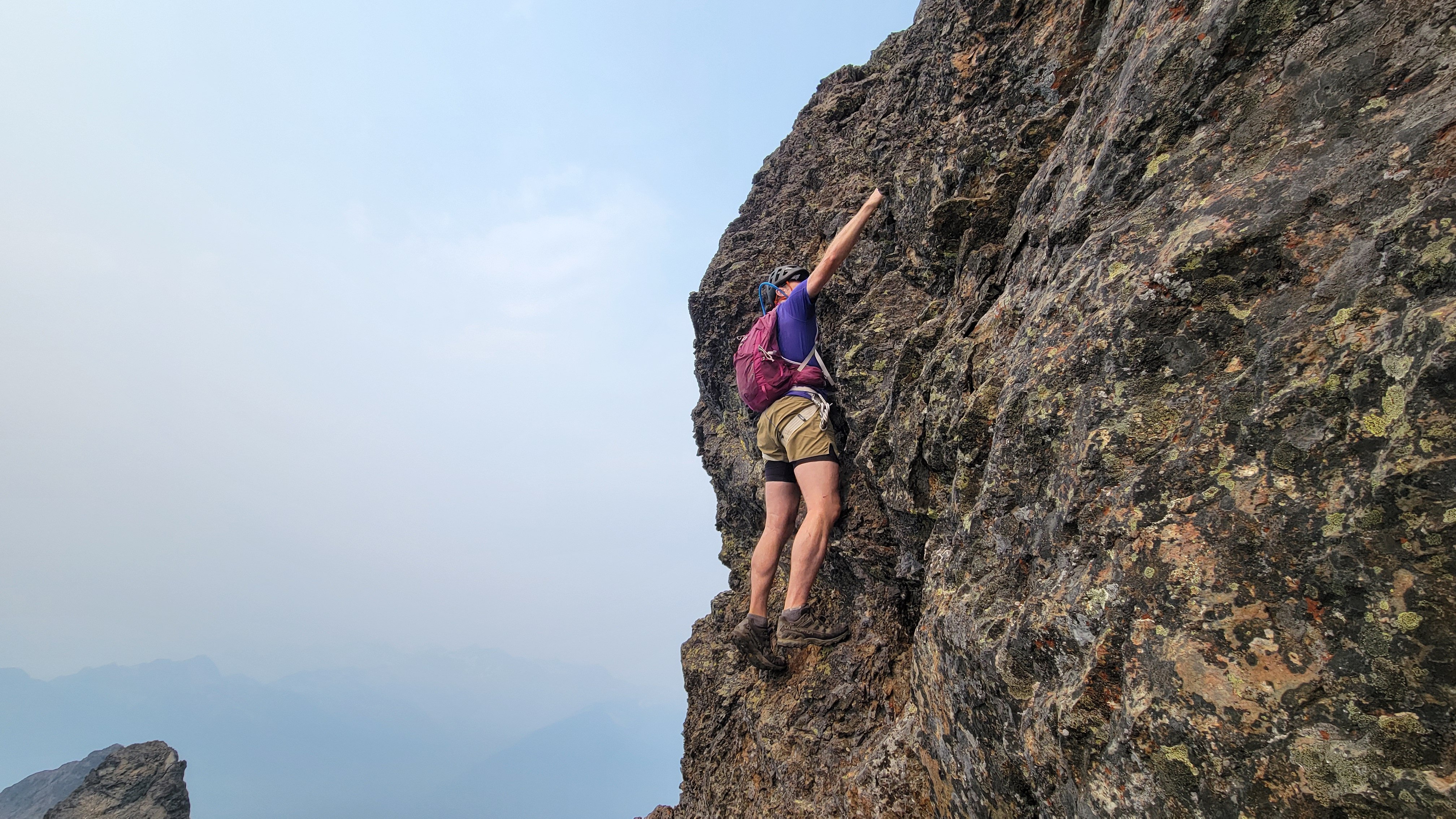
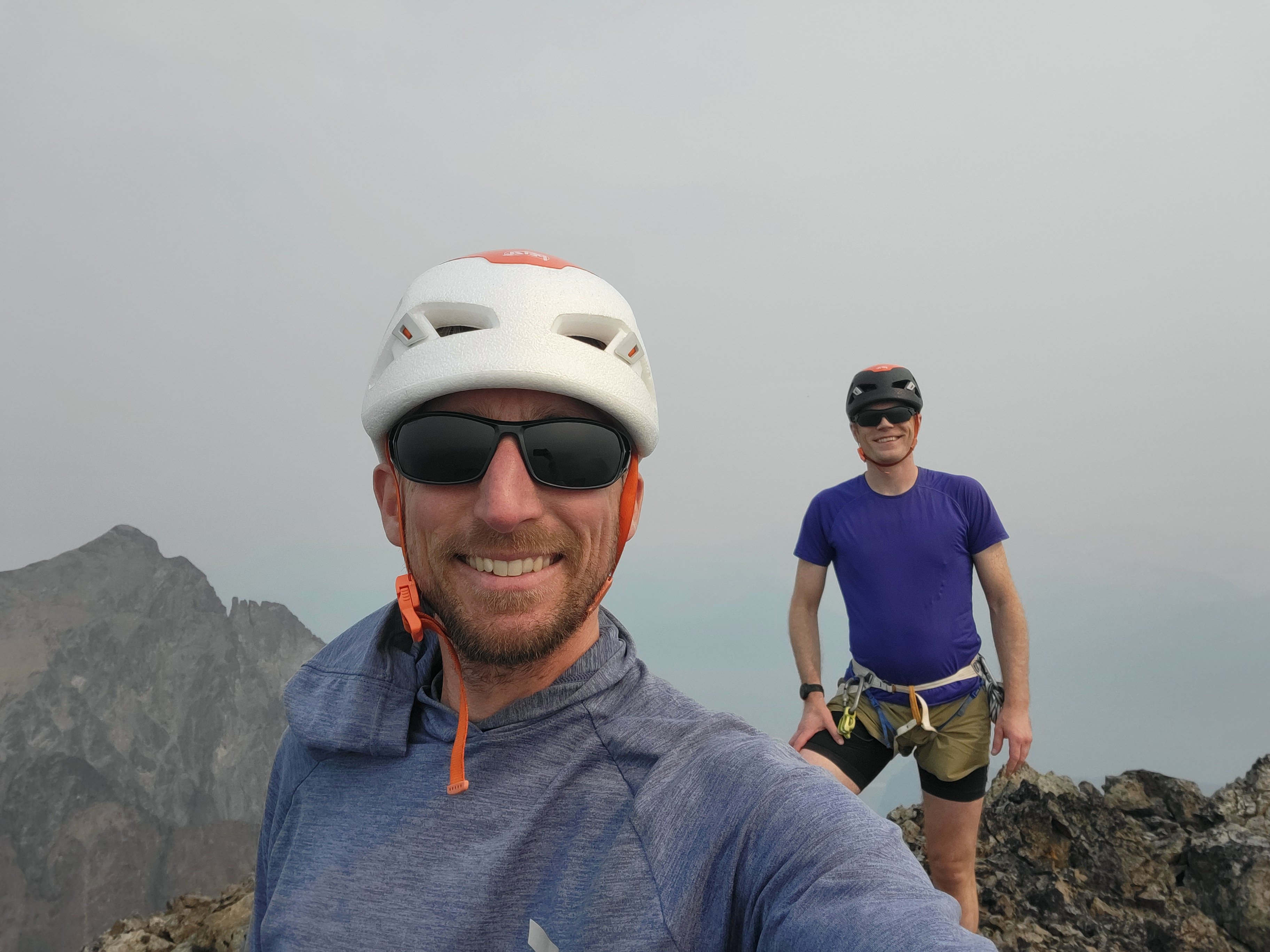
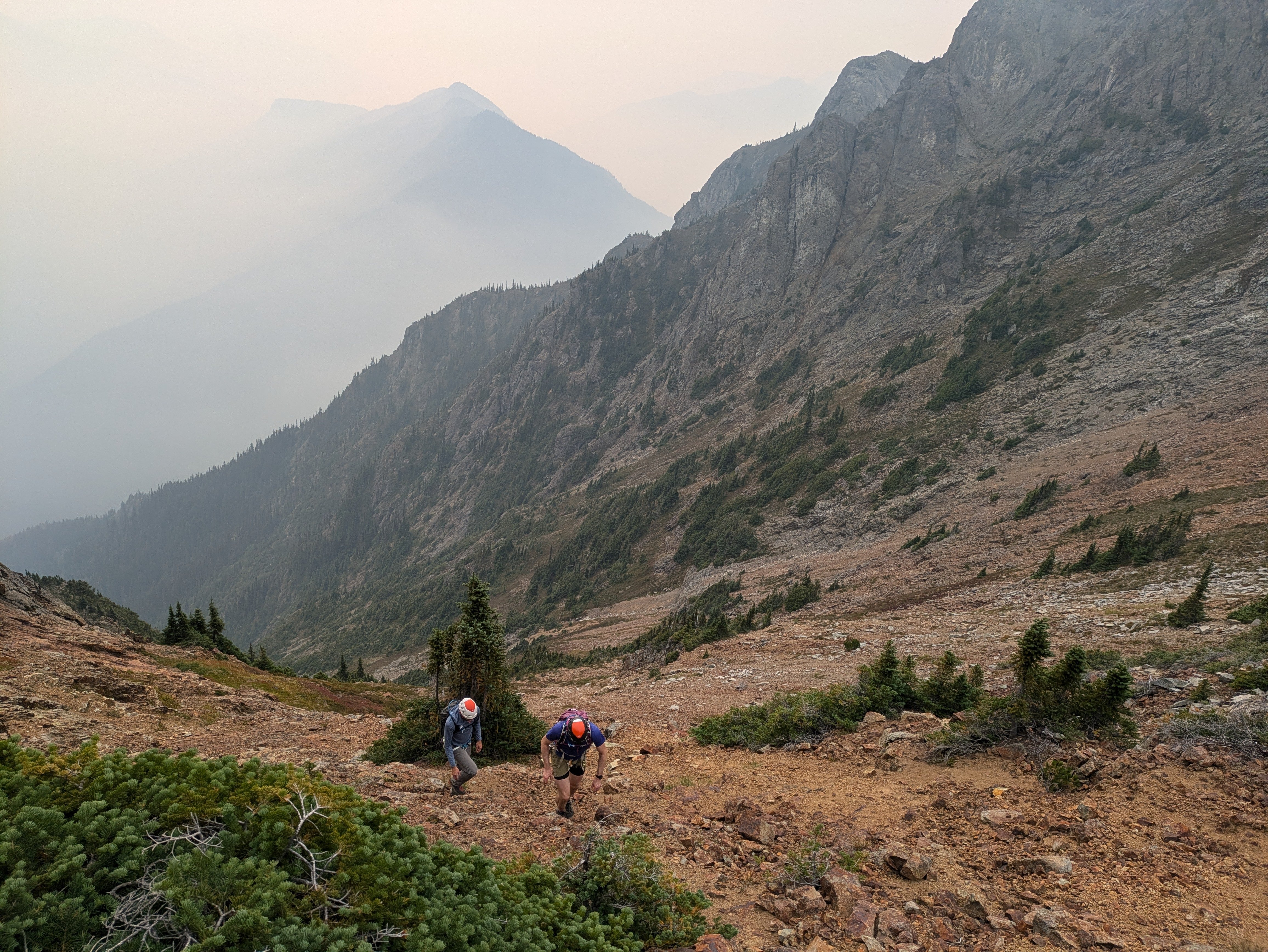
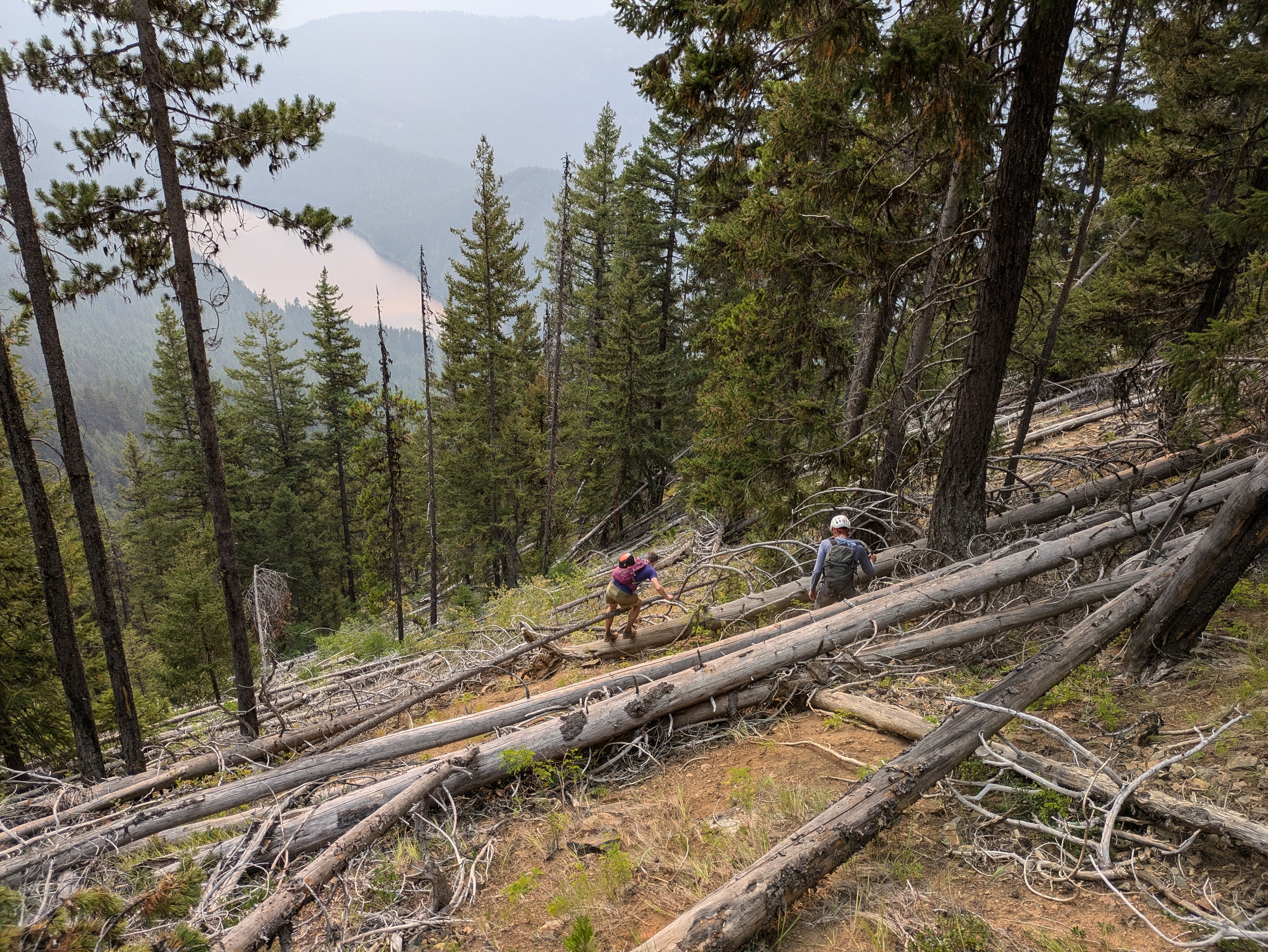
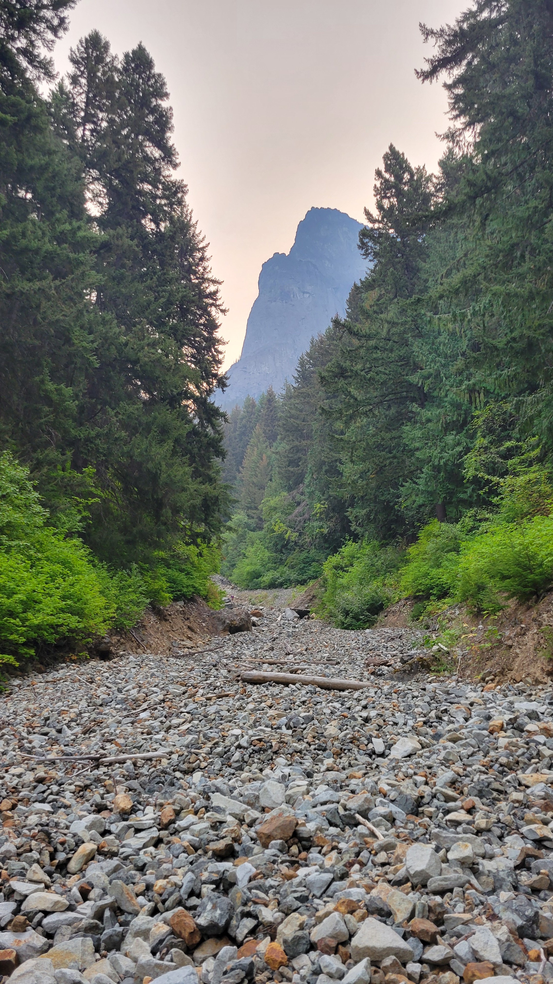
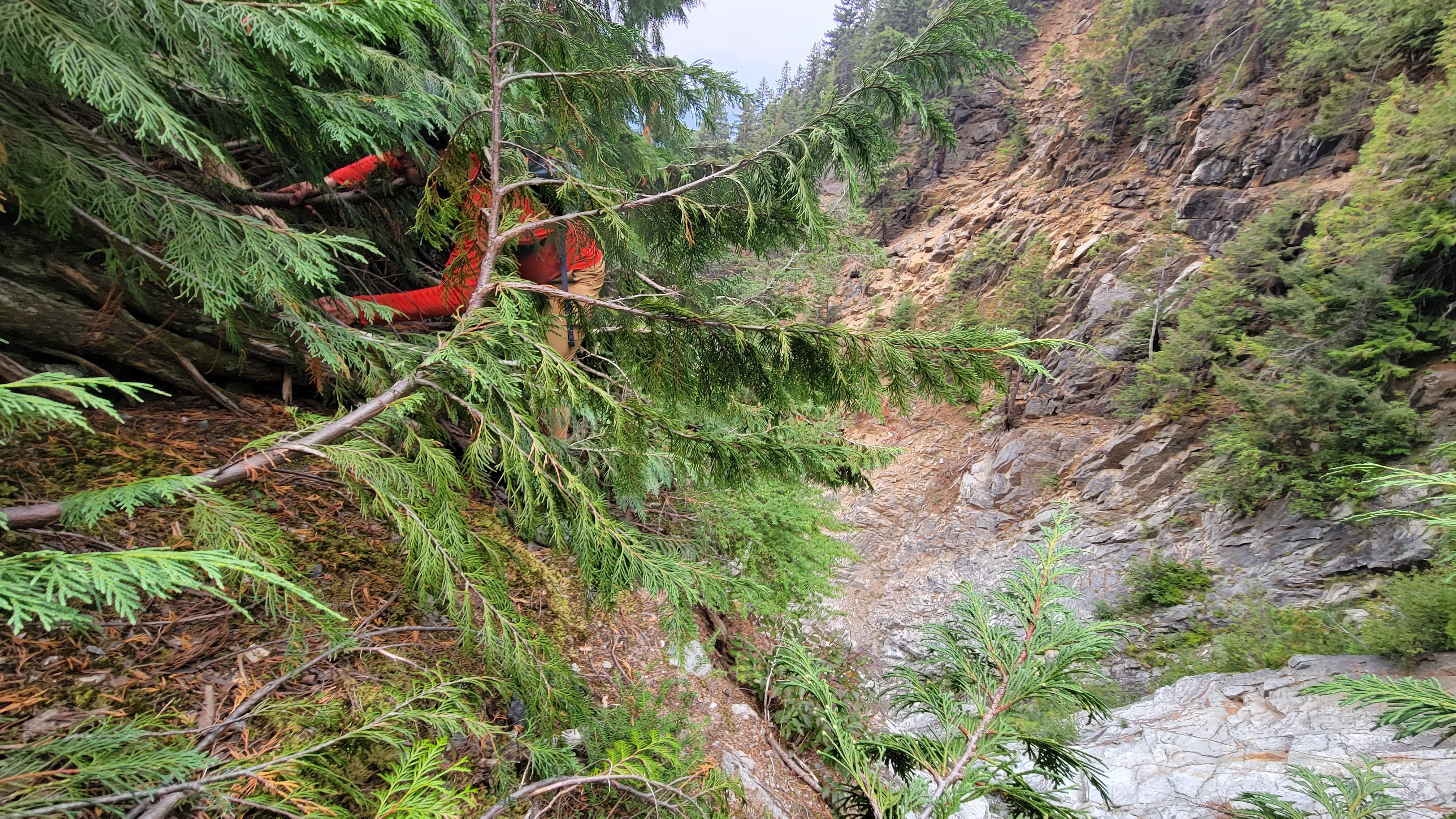
Trip: South Hozomeen Mountain - SW Route Trip Date: 09/08/2024 Trip Report: On Saturday September 7th, me, Mike, and @thedylan drove up to Canada and then darn near back into the US to go for South Hozomeen. We camped at the Skagit River Campground in the provincial park. The next morning we woke up at 4:00, drove a couple of hundred meters (that's what they use up there) to the international boundary and parked near the gate, the NPS implied on their website that it was totally fine to walk across the border, not that anything less would have stopped us. We walked around the gate and into a different country. The couple of miles (that's what we use around here) of trail were immaculate, the NPS has done some maintenance, all too quickly though we plunged off the trail and into the brush and deadfall of the low elevation valley bottom. GPS proved essential through here, particularly at night, but even in the daytime coming out. We hit the creek bottom that drains the cirque between South and Southwest Hozomeen as soon as we could, if only just for navigational purposes. The brush was pretty bad but it really wasn't that long, pretty quickly the creek bed opened up and it was easy boulder and occasional slab walking. 3000' ish: There were a few easy scramble steps and ample water available in the creek bed up until 4100' where we encountered a waterfall and an impasse. We did a gorilla scramble just climbers right of the waterfall and made it through, although it was ugly. Above that more easy walking and boulders and occasional short scrambles until you hit the beautiful slab walking at around 5800’ I think. 200 or 300 ft below the 6900 ft saddle the slab walking turns into scrambling but it wasn't too bad on the way up, we tried to follow beta that we had but I think it's pretty much follow your nose. Gorilla Scramble (Reminds me of J-Berg): Slab City: At the saddle our entreaties finally failed and Mike called it a day, he had been not on form for the last hour or two, although we were still moving pretty quickly. If you're just not feeling it this is definitely not the peak to push it on, so he made the right call. I think he was exhausted from riding his bike to the farmers market Saturday morning. Me and Dylan descended from the saddle, contoured left and crossed through two minor rib notches, then up the rib to the ridge crest at about 7,600’. From there it's basically straight up to the summit which is where it looks like. The route finding was quite straightforward… if there's a notch go through it. Everything since 6900’ looked intimidating and you wonder “how the heck are we going to do that?”, then you just start moving and it falls into place; we both had the same image of Indiana Jones and the Last Crusade when he does the leap of faith and walks along the easy bridge. It was kind of like that… but the bridge is class 4 here. Leap of Faith: There was some tricky exposed scrambling on the ridge crest but stuff was solid when you needed it. We soloed the obvious 12’ crux step and finished the scramble to the summit. Over the last couple of hours the smoke had really filled in so we were very glad to be done going uphill, there was no view at all so we just turned around and headed down. It was thrilling to be done but only in a very muted way, knowing that we had to descend for it to count. Classic Ridge Scramble Shot: Crux: Worth it for the Views: On the descent to the 6900’ saddle there was a whole lot of “how the heck am I going to do this?” But you just have to start and it all falls into place. I liked this route because there's no dinking around, there's not really any point in route finding or thinking about gear or anything since that's not possible (there is basically no pro anywhere on this whole mountain above 6900’). There aren't any features to the rock, it's just pillowy and jumbled, pretty much any line is as good as the next. We confirmed that you only need a 30 m rope to do the crux rappel. We made it without incident back to the saddle, then descended 100-200’ where me and Mike decided to rappel, Dylan down climbed of course. We did a 100’ rap through the worst of the scrambling down to boulders and slabs. Approaching Mike's Nap Spot: After cruising down the slabs and part of the gully we made a stupid decision (possibly my fault). We traversed skiers right out of the gully, across two minor gullies to the forested slope. For some reason we thought this would be more efficient than down scrambling all of the steps and then figuring out how to rappel the gorilla scramble. This was not true. If I were to do it again I would definitely chance the gully and just figure out a rap. I've been climbing in the Cascades for 15+ years and this was the worst forest slope I've ever descended. I don't know how it's possible but this had everything that sucks, lots of sharp pokey downed logs, loose rock, deep loose dirt, then lower, brush, but still lots of loose rocks somehow! Wtf!? Even Dylan admitted that it sucked! Pokey Logs, (there was a lot of this): Anyway, eventually we swore our way down the slope and back to the trail then cruised back to the car in Canada. We were extremely thrilled to be done, but the no-see-ums made it impossible to relax with a beer. Me and Dylan washed off in the Skagit River (the lake is too far away), then we made the 2.5 hour drive home to Bellingham. I think if you could take the gully all the way back down to where it fades into the forest slope the descent could end up being okay, then this climb would be not too bad. The way we did it I will definitely never go back. @Albuquerque Fred has done this three times! What's with that guy!? This was certainly a very challenging peak, but I would say most of the overall difficulty is just getting to the high country, from the 6900’ saddle up it is one of the easier difficult 10 peaks, but overall it definitely deserves to be on the list! Gear Notes: 2x 30m rope (only 1 necessary for the crux), helmets, approach shoes. Approach Notes: Canada, US. Easy trail, then brush. I recommend hitting the gully ASAP and go up.1 point
-
1 point
-
@JasonG, hard man points all the way. No way was I going to let him solo it and not do the same.1 point
-
Well done on a tough peak! That exit looks brutal for sure, but sounds like your way in is preferable to going to the lake. Too bad about the smoke, that surprised us as well this past weekend. What's the deal with @thedylan not dragging a rope for you? Or were you looking for the hardman points?1 point
-
1 point


