Leaderboard
Popular Content
Showing content with the highest reputation on 09/04/24 in all areas
-
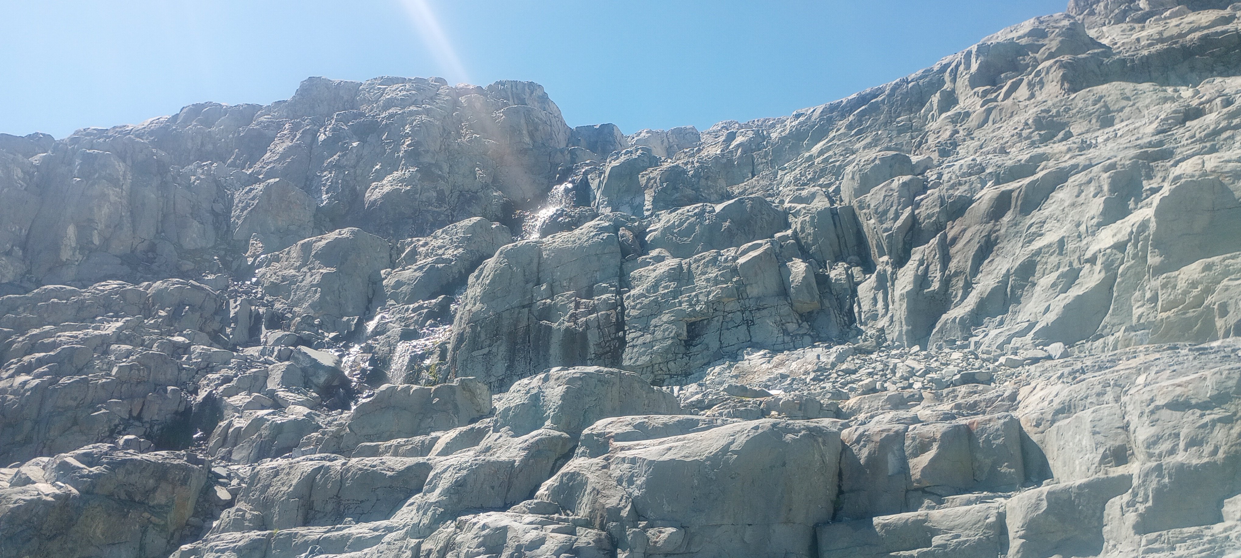
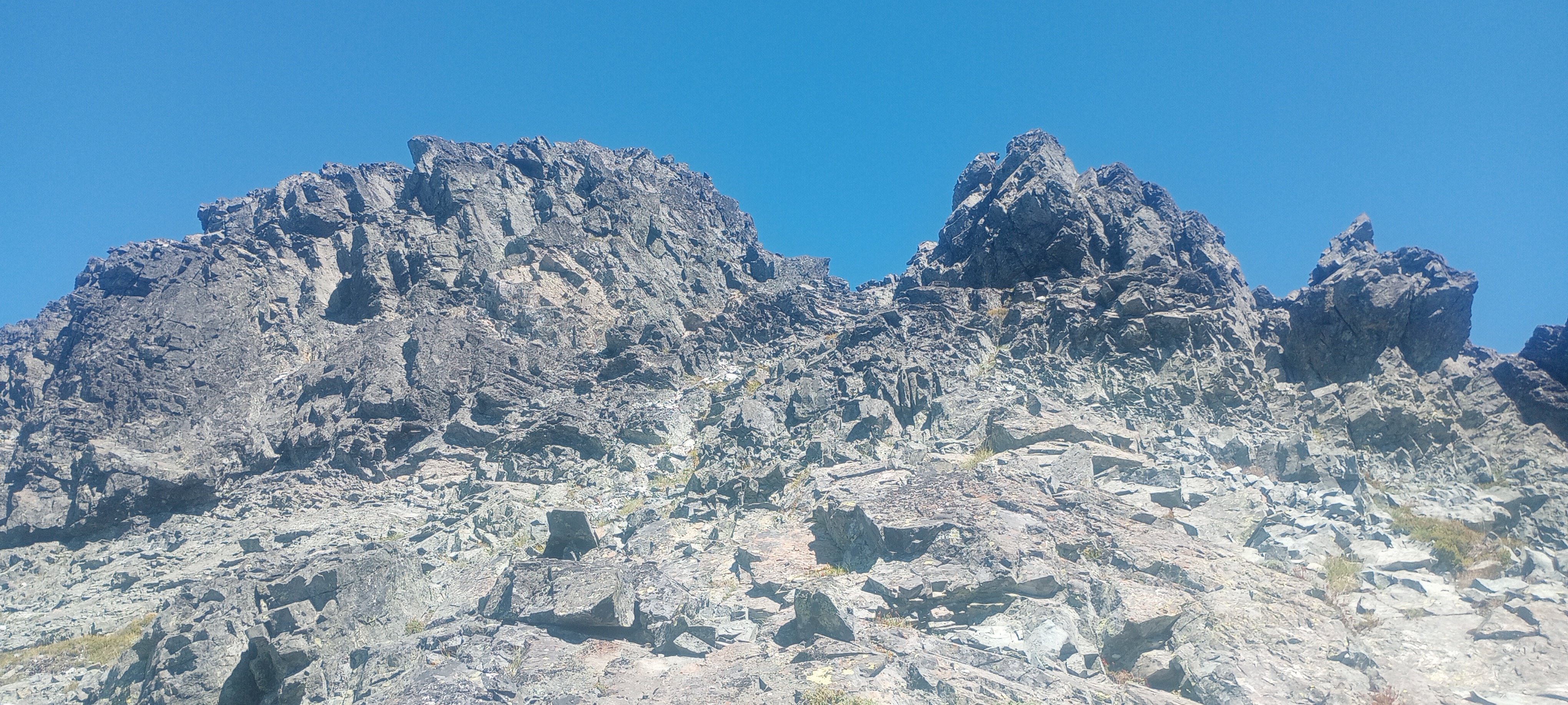
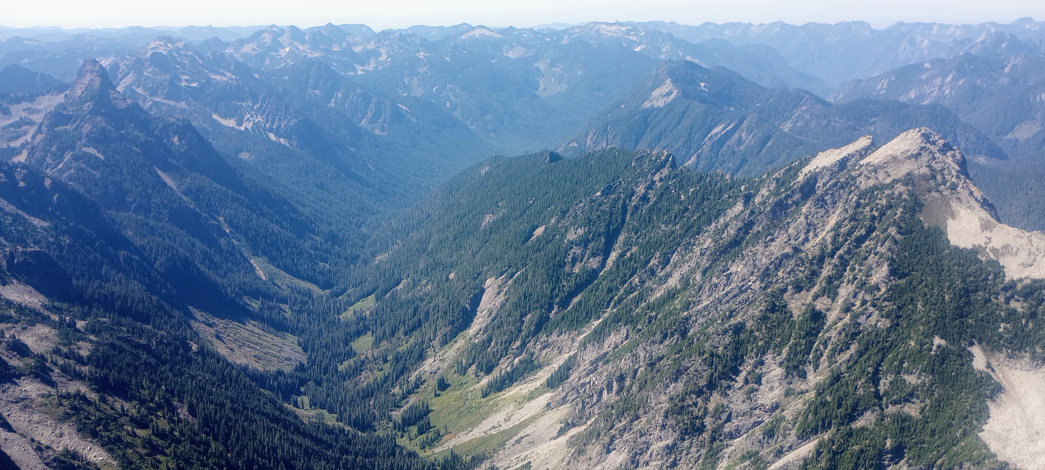
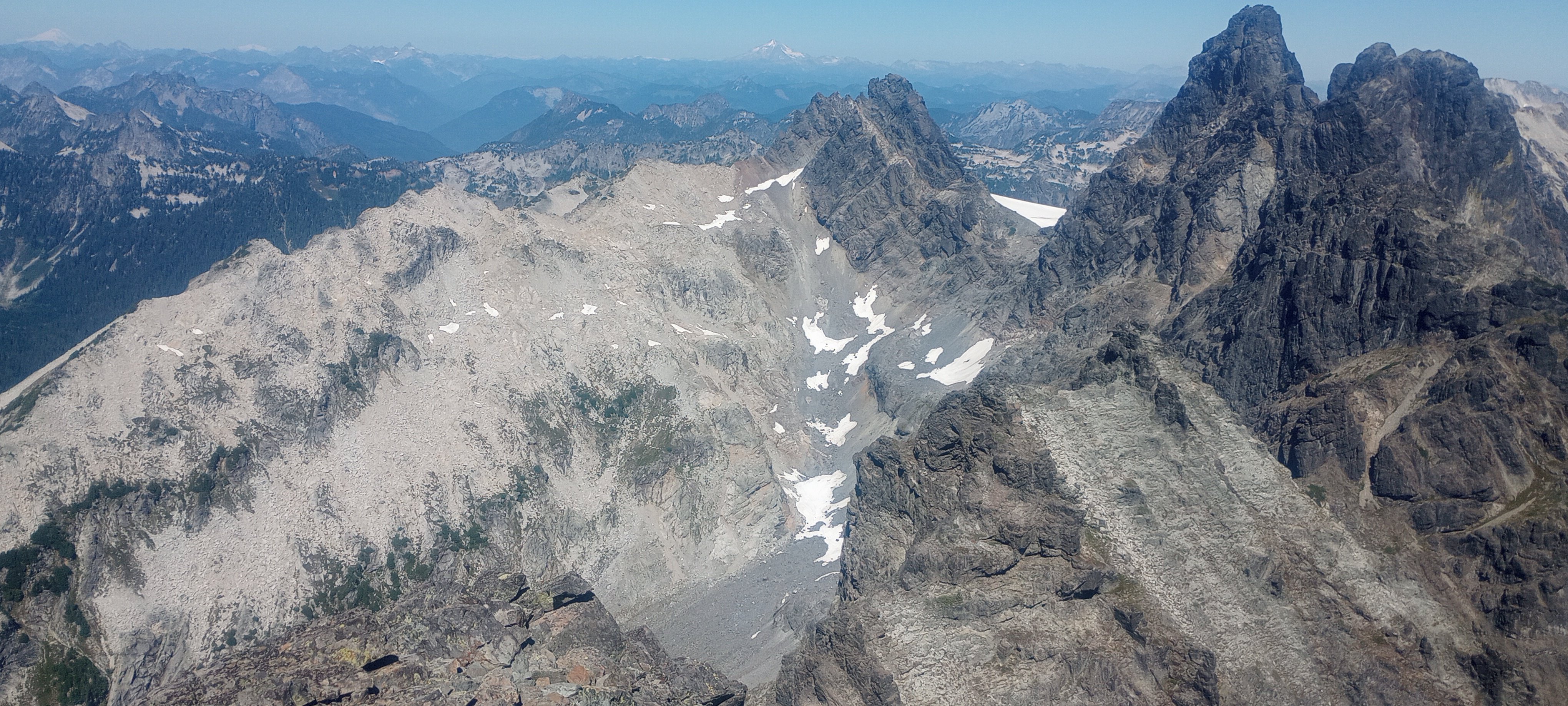
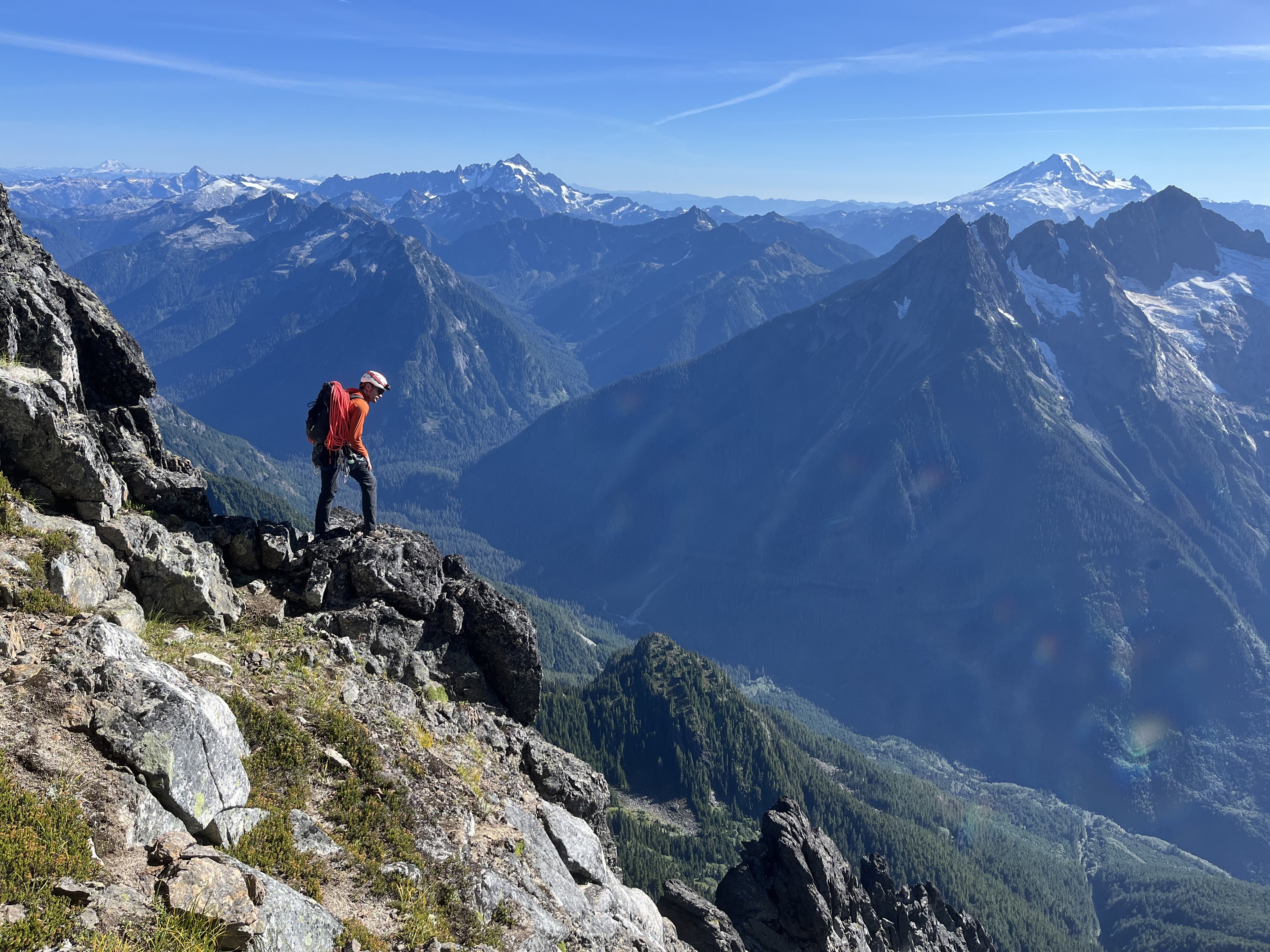
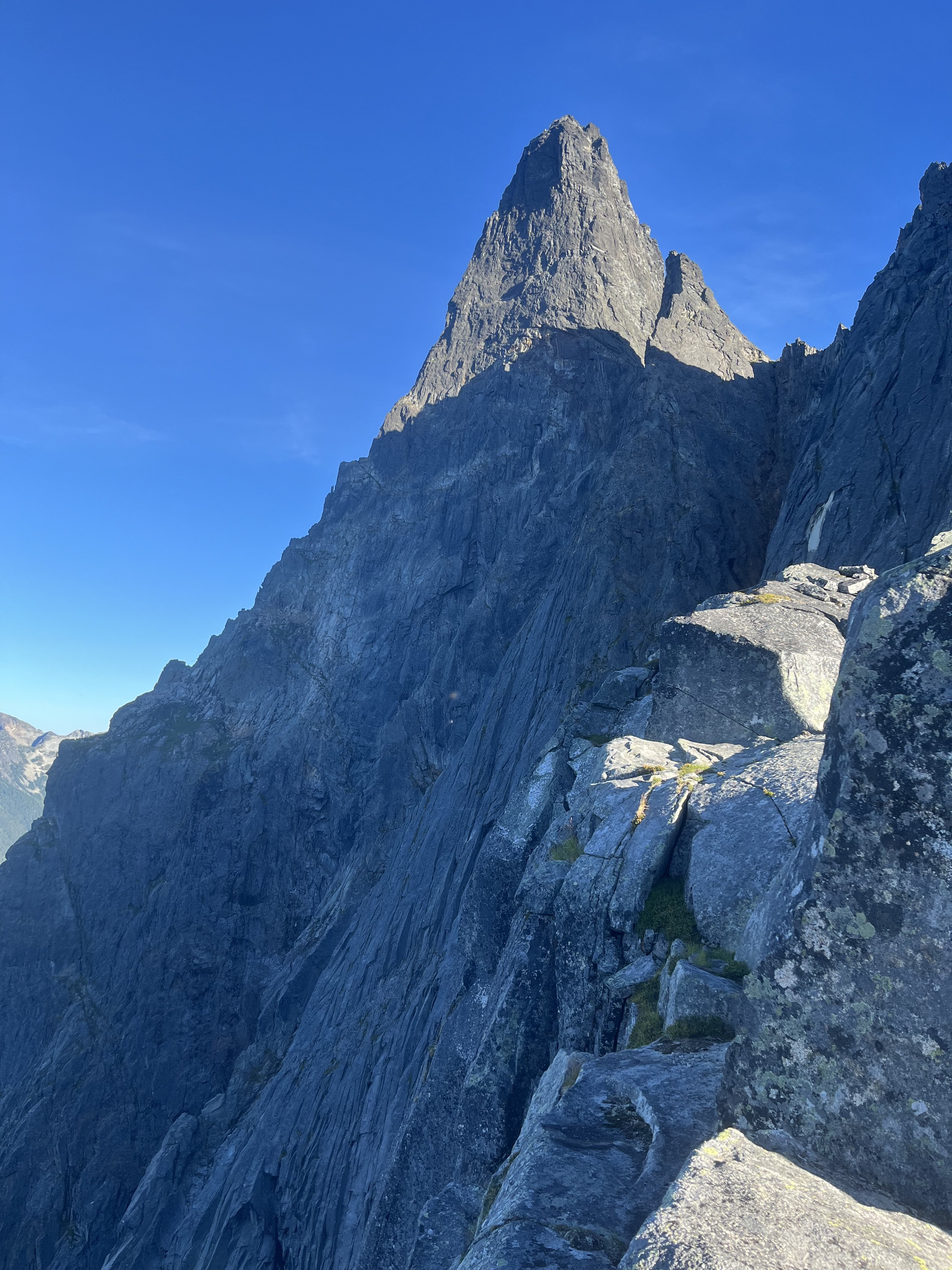
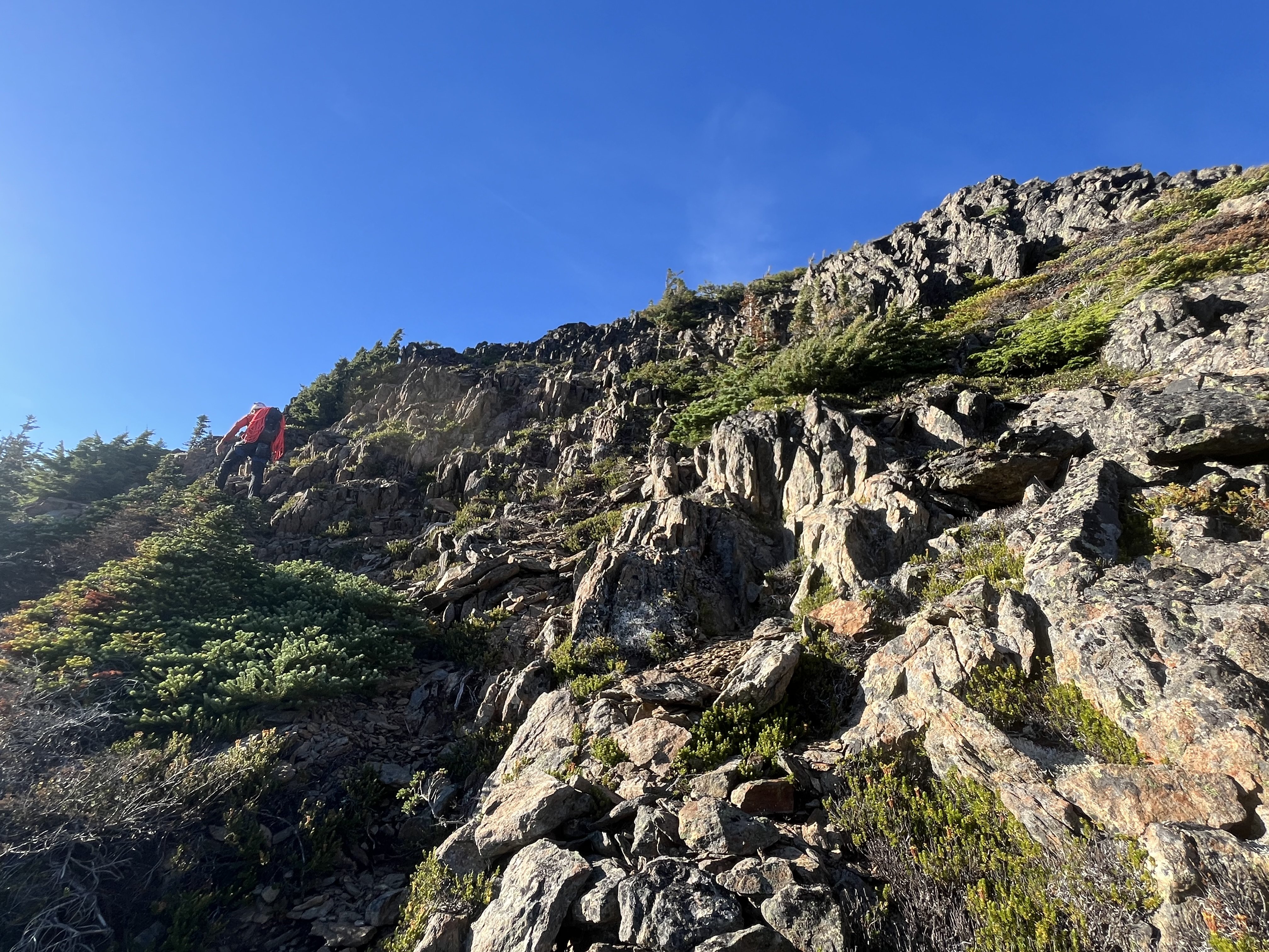
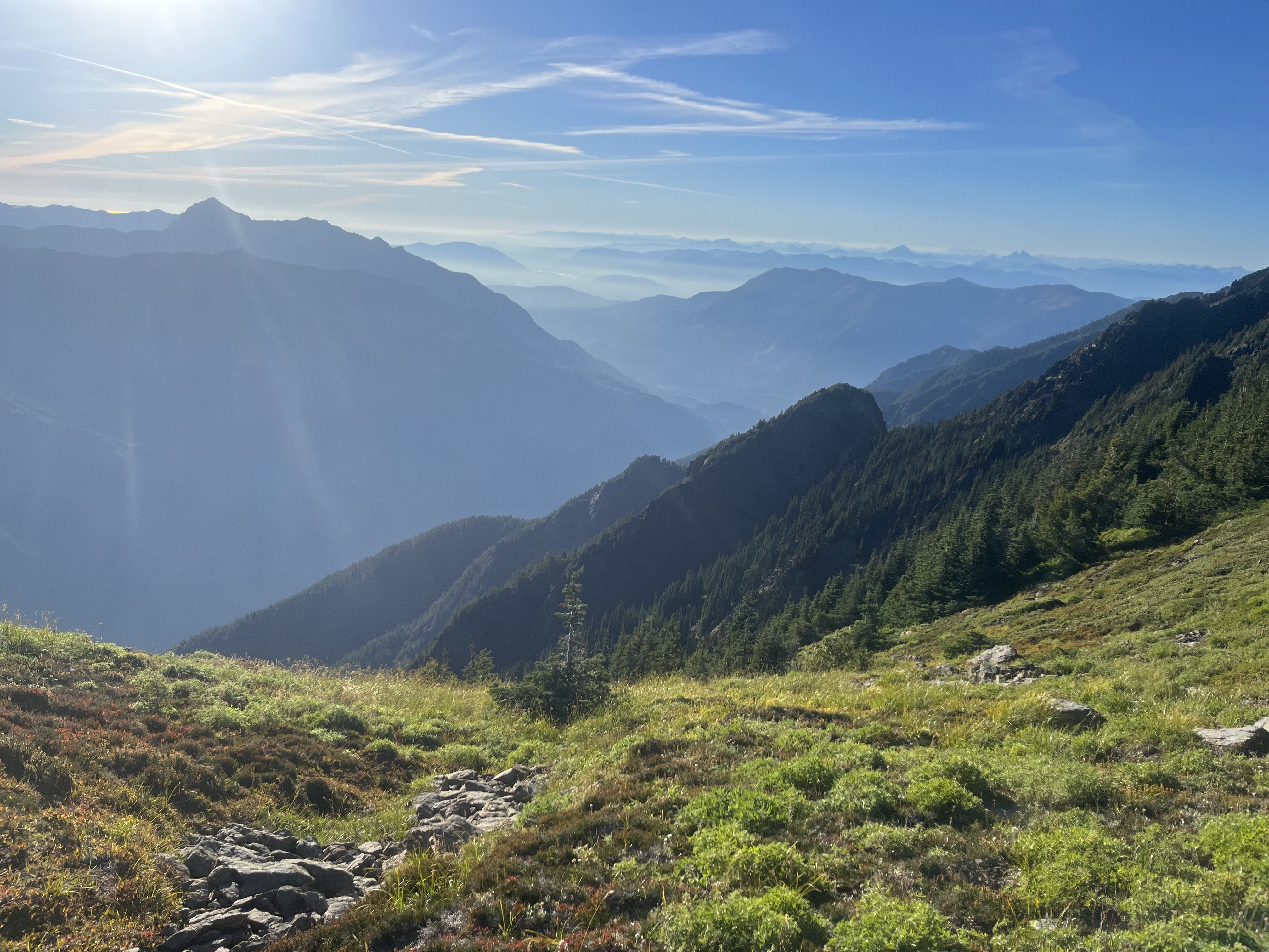
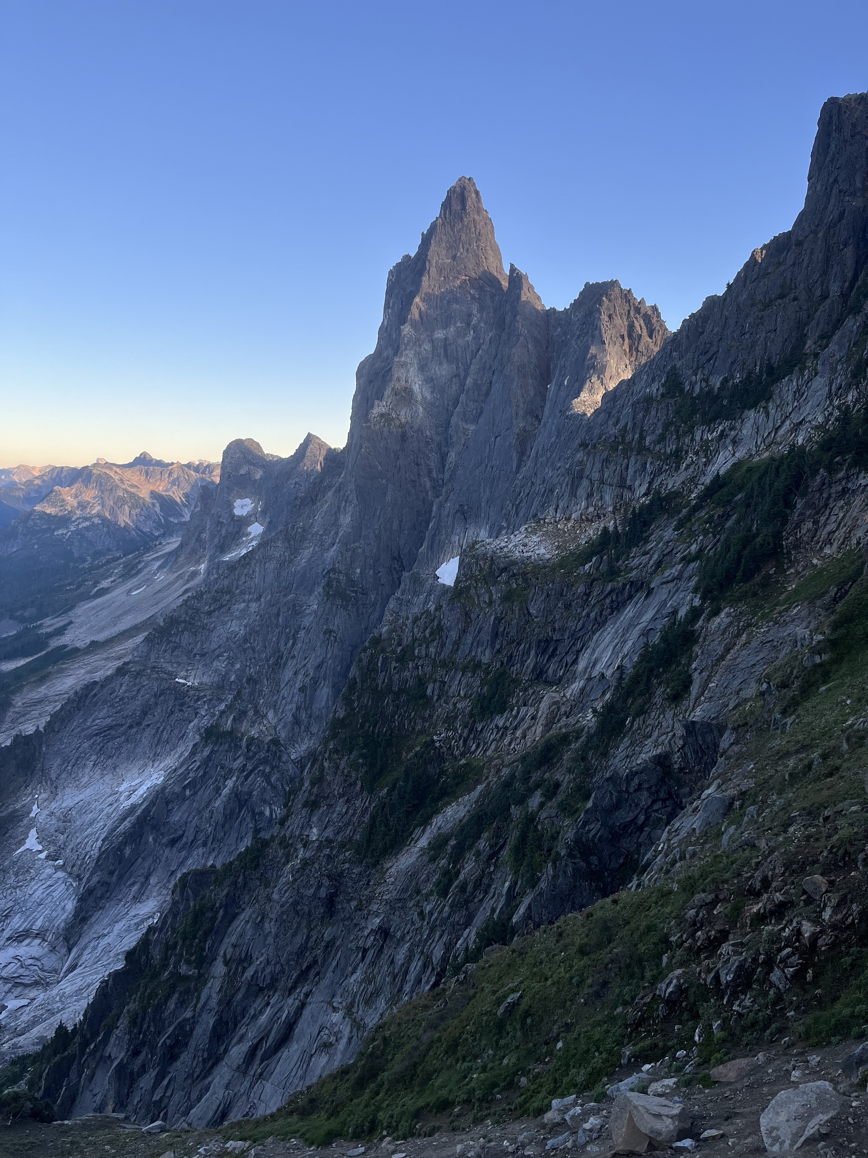
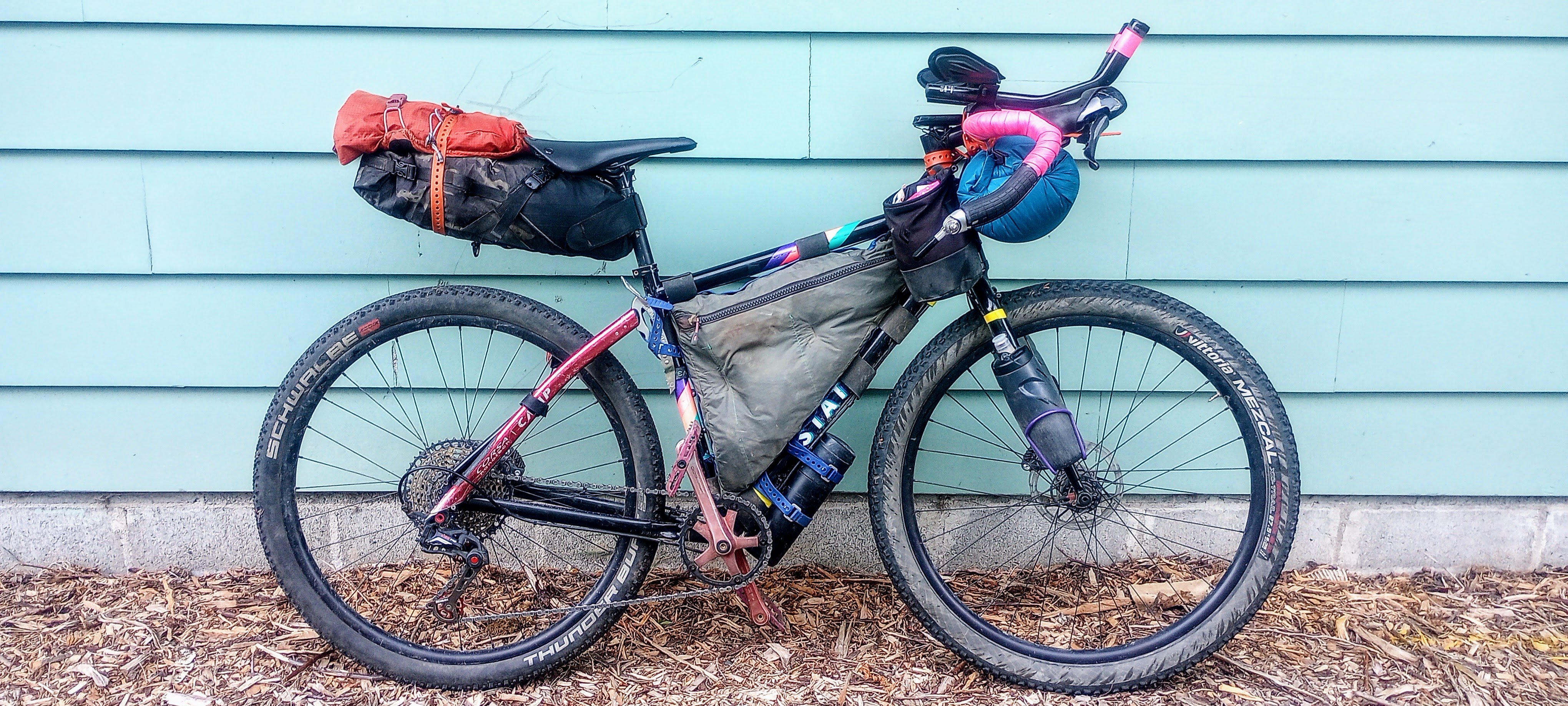
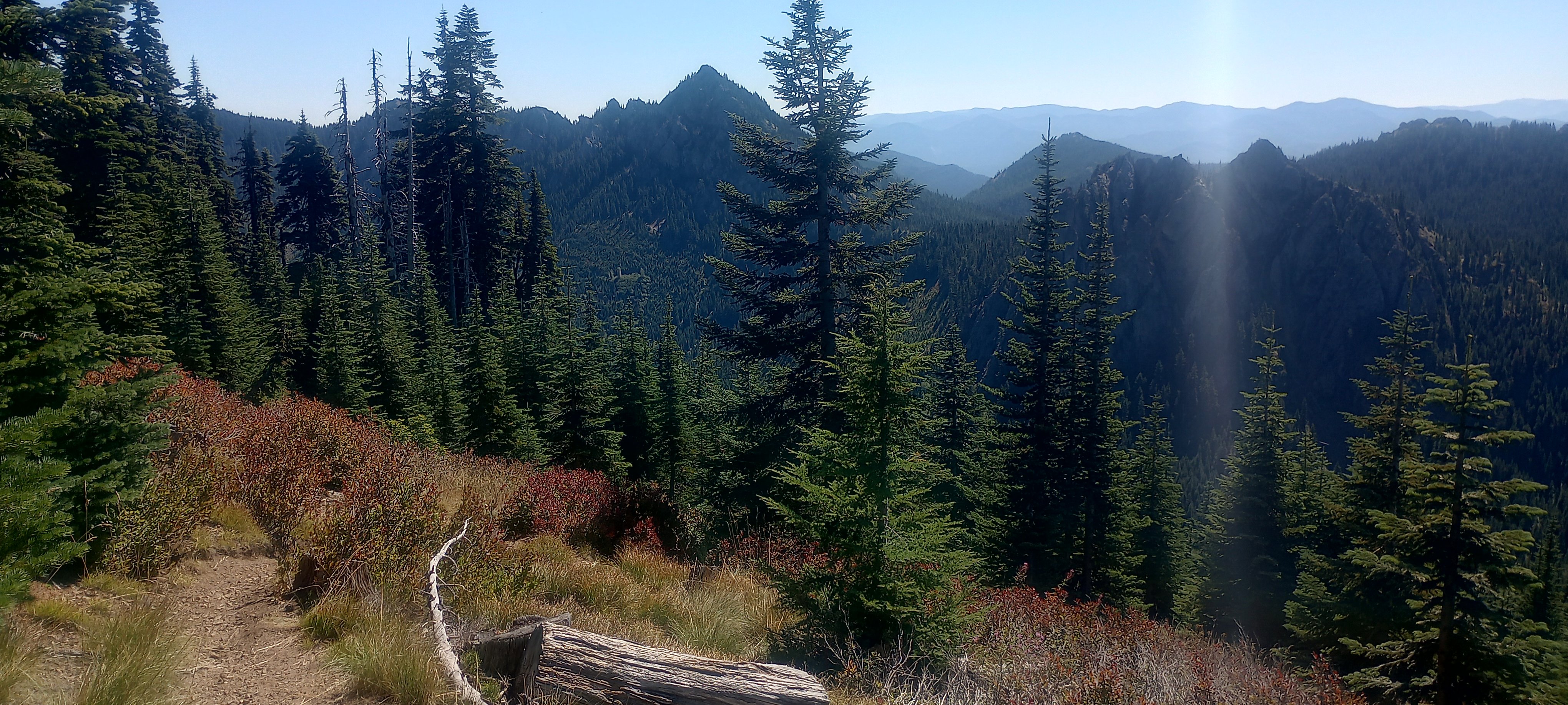
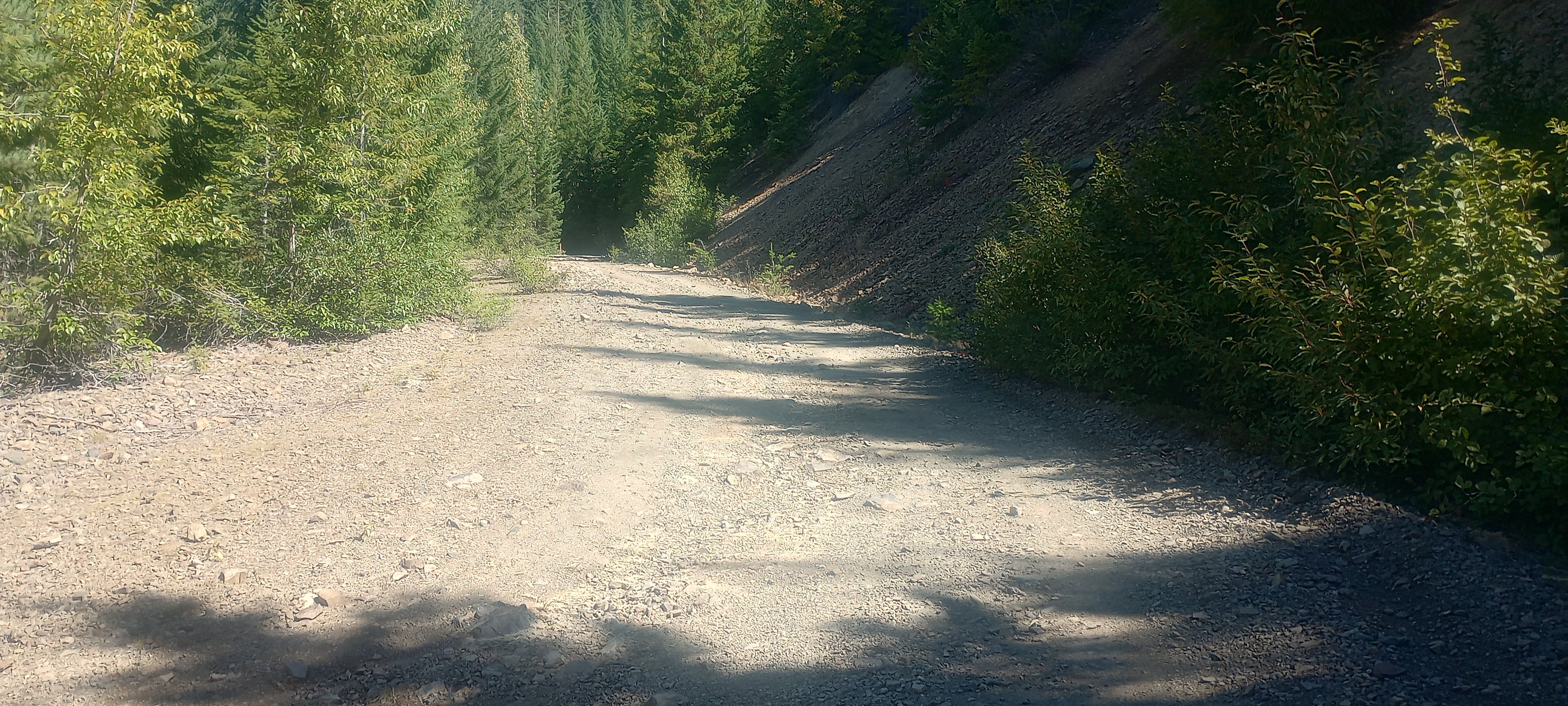
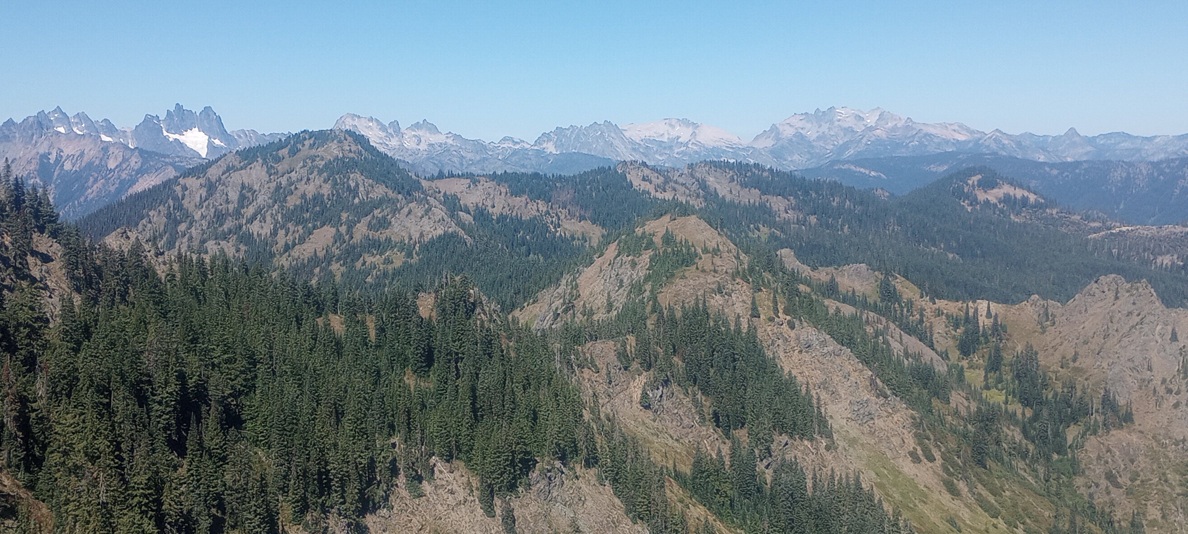
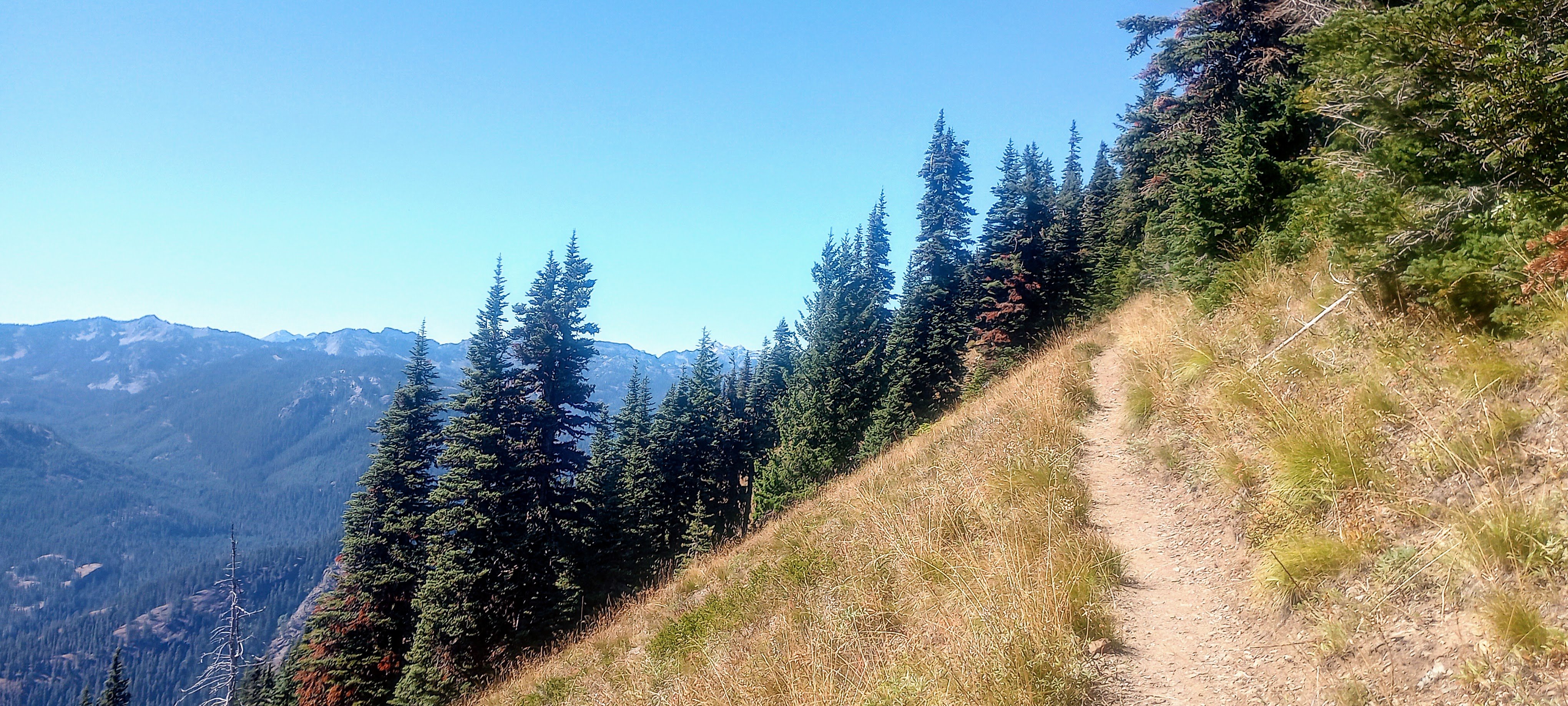
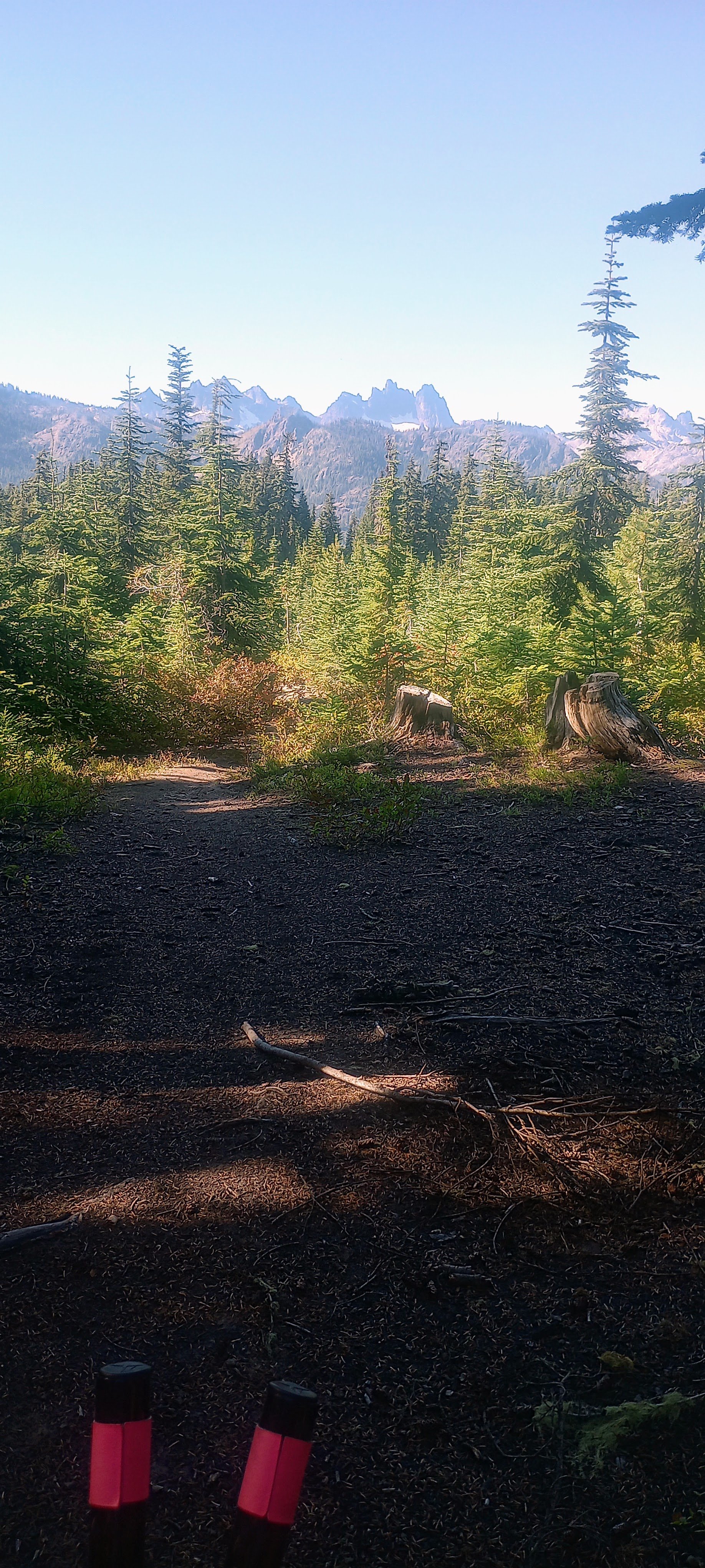
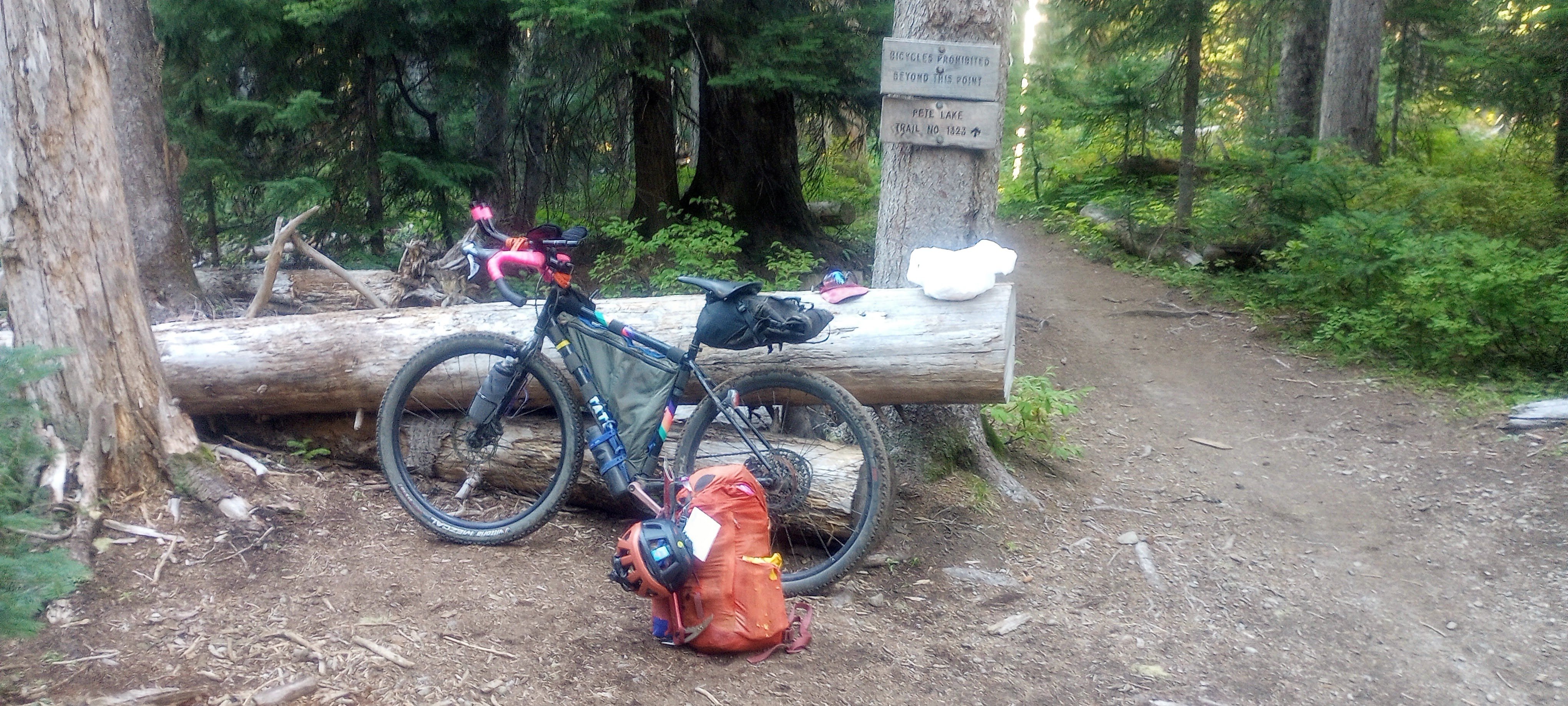
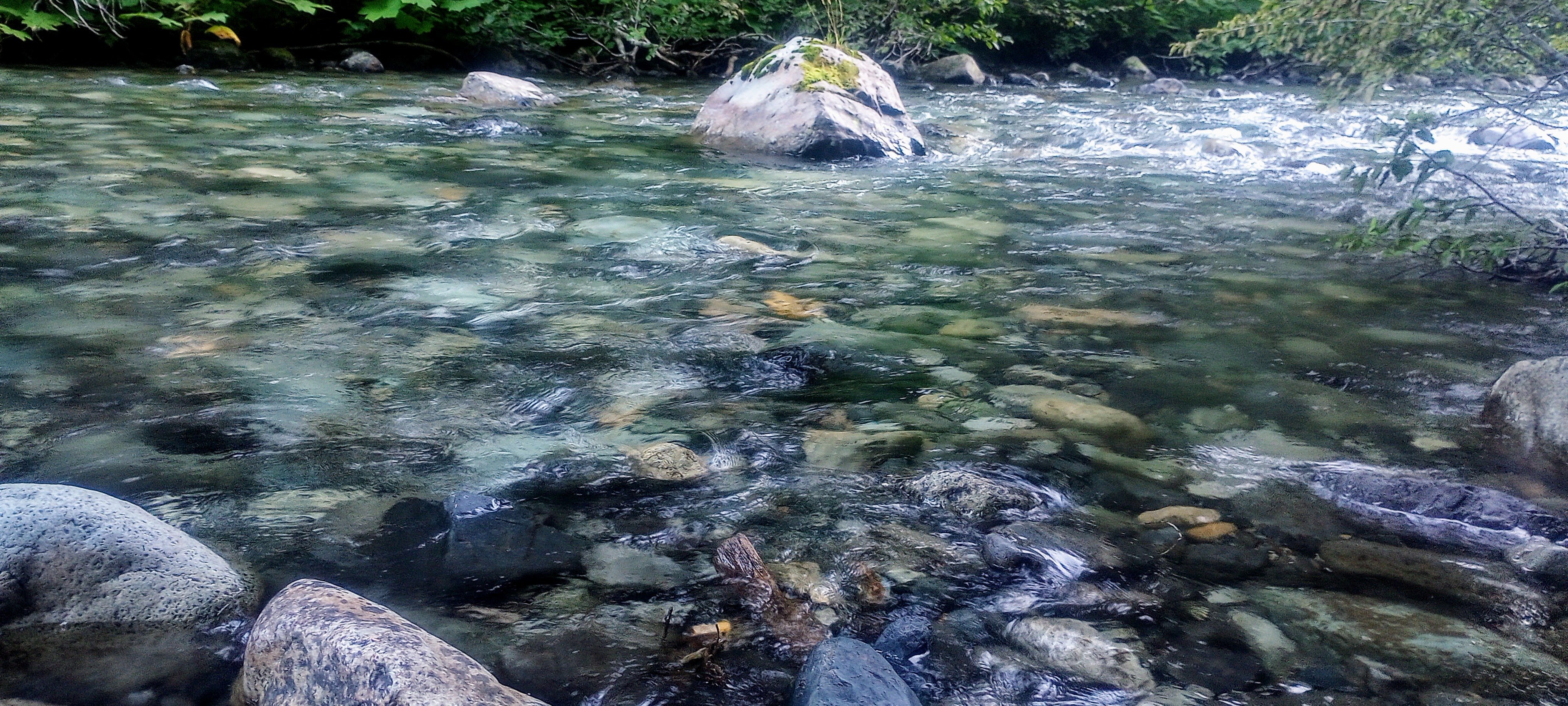
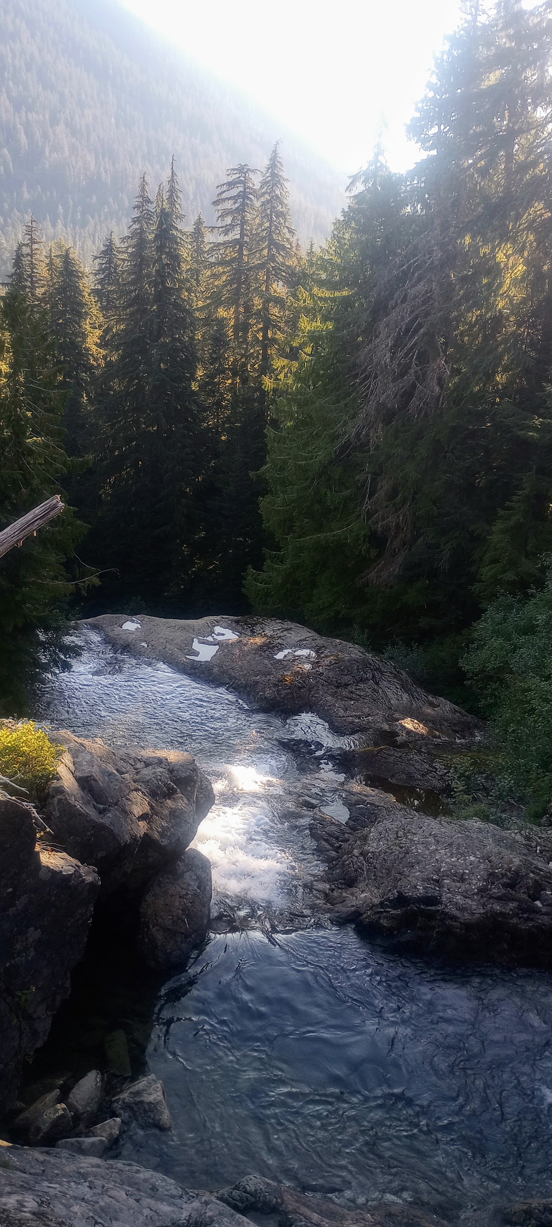
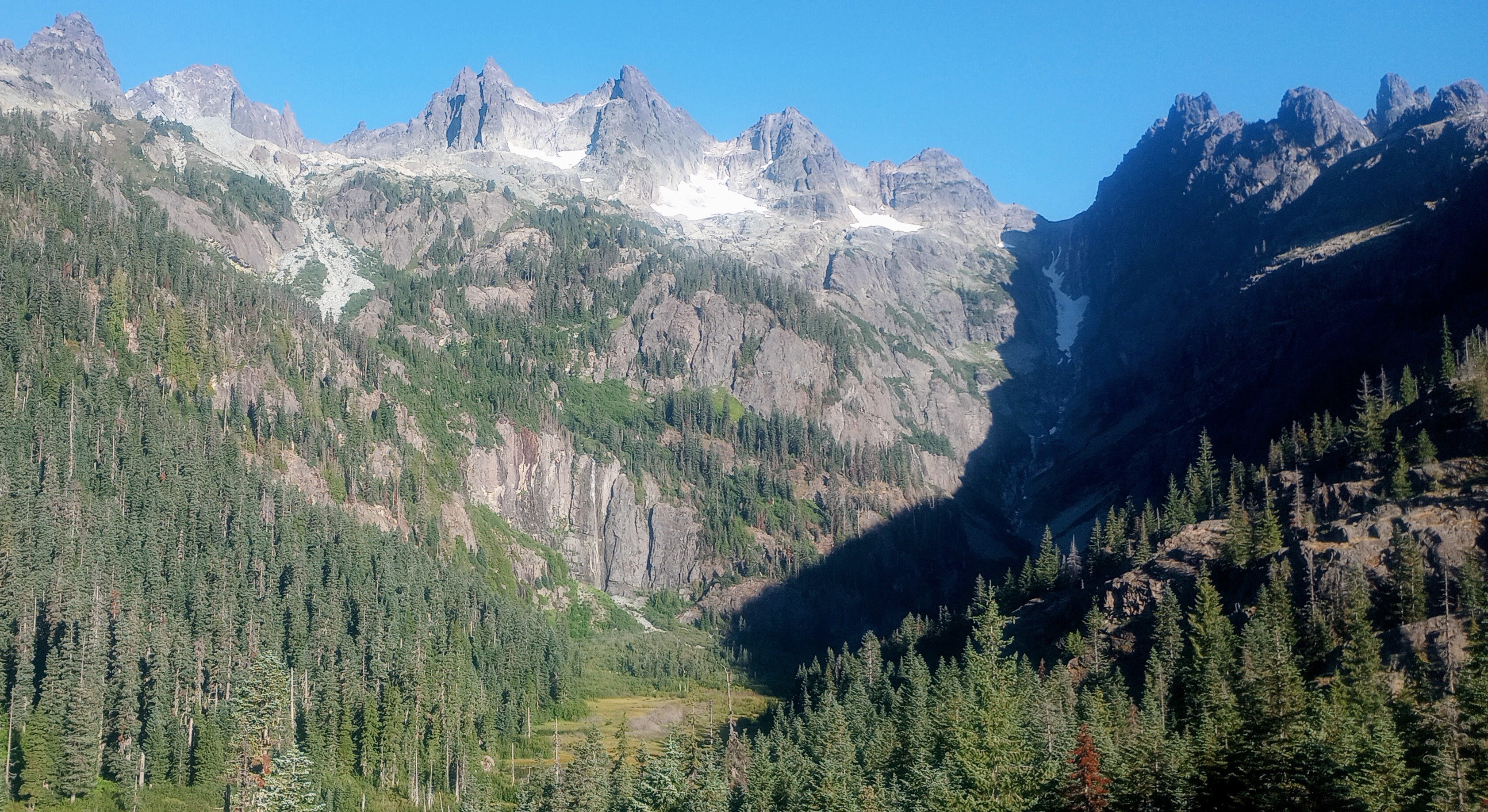
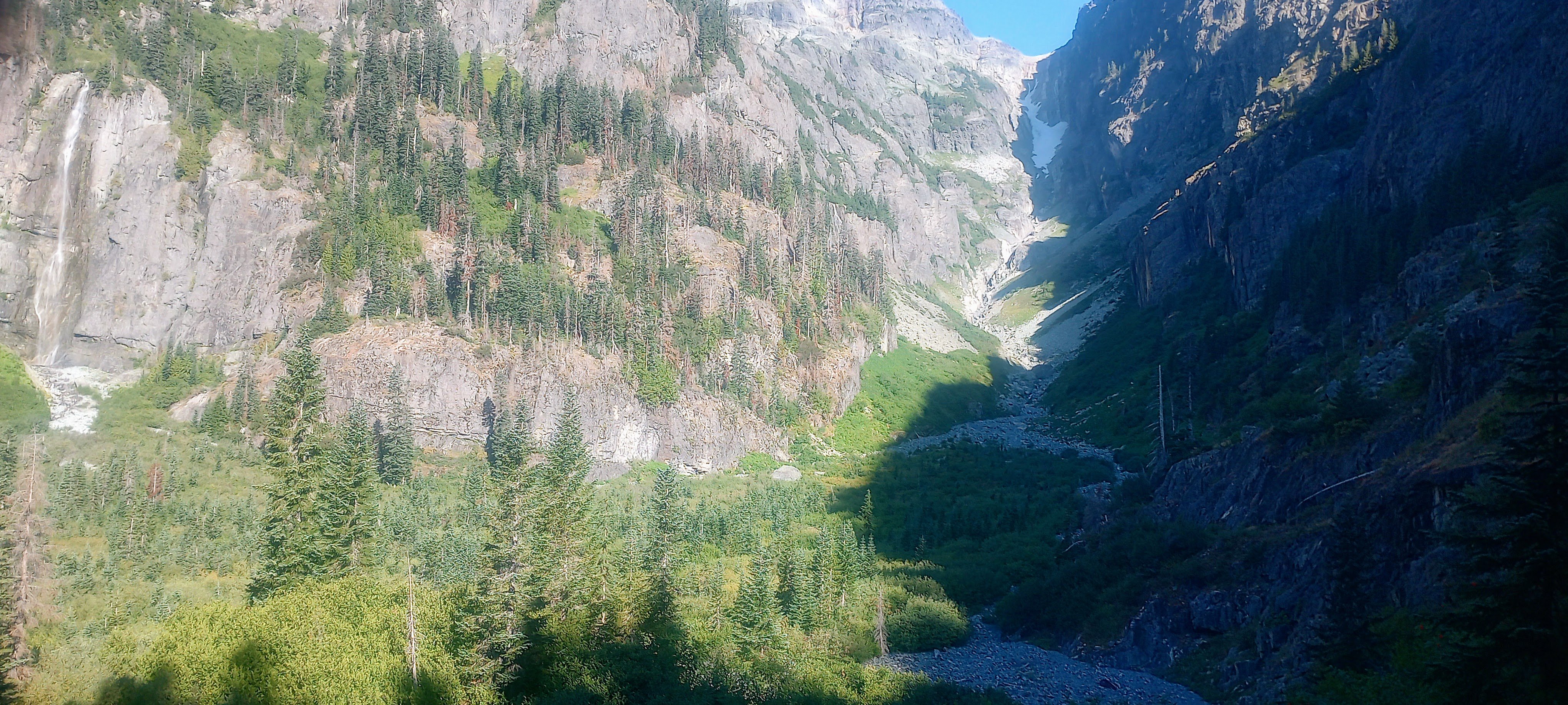
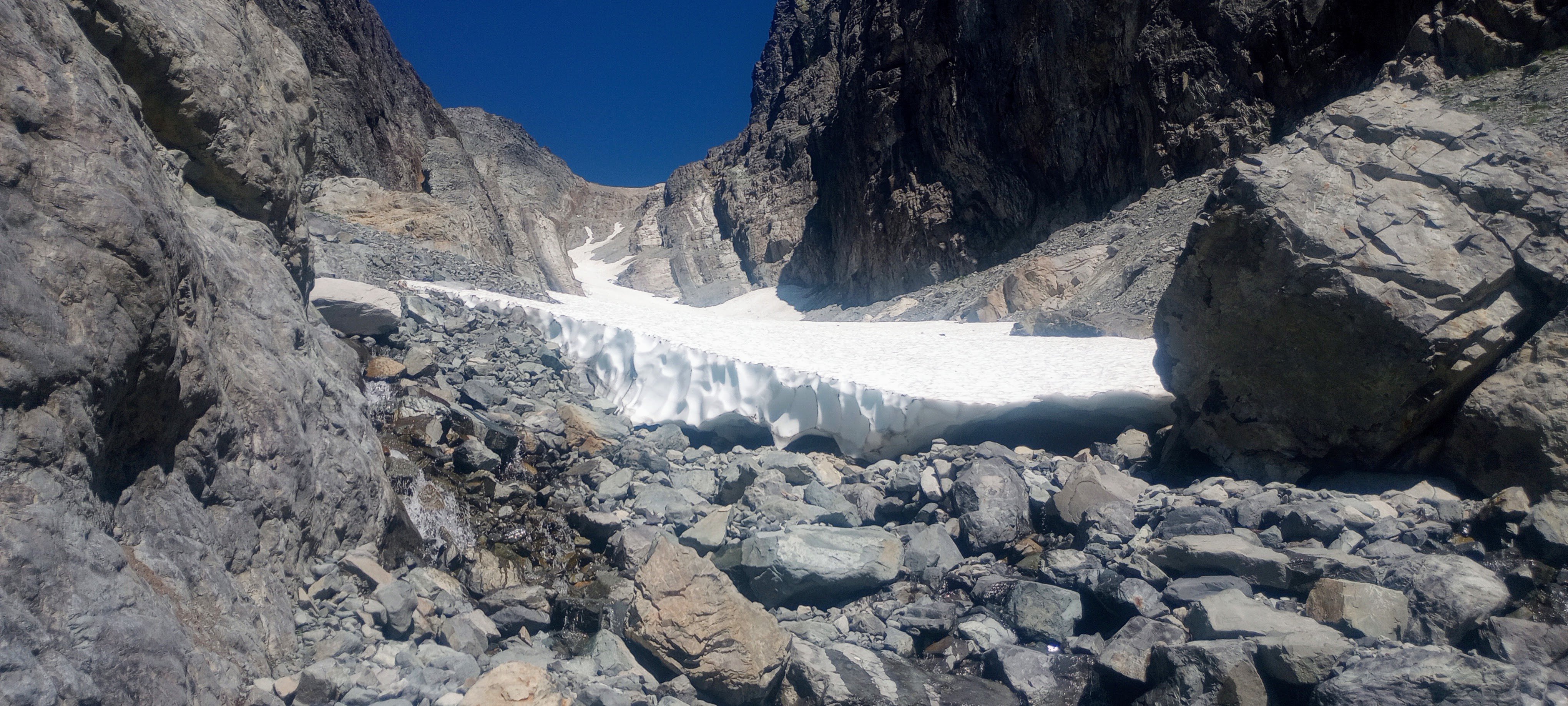
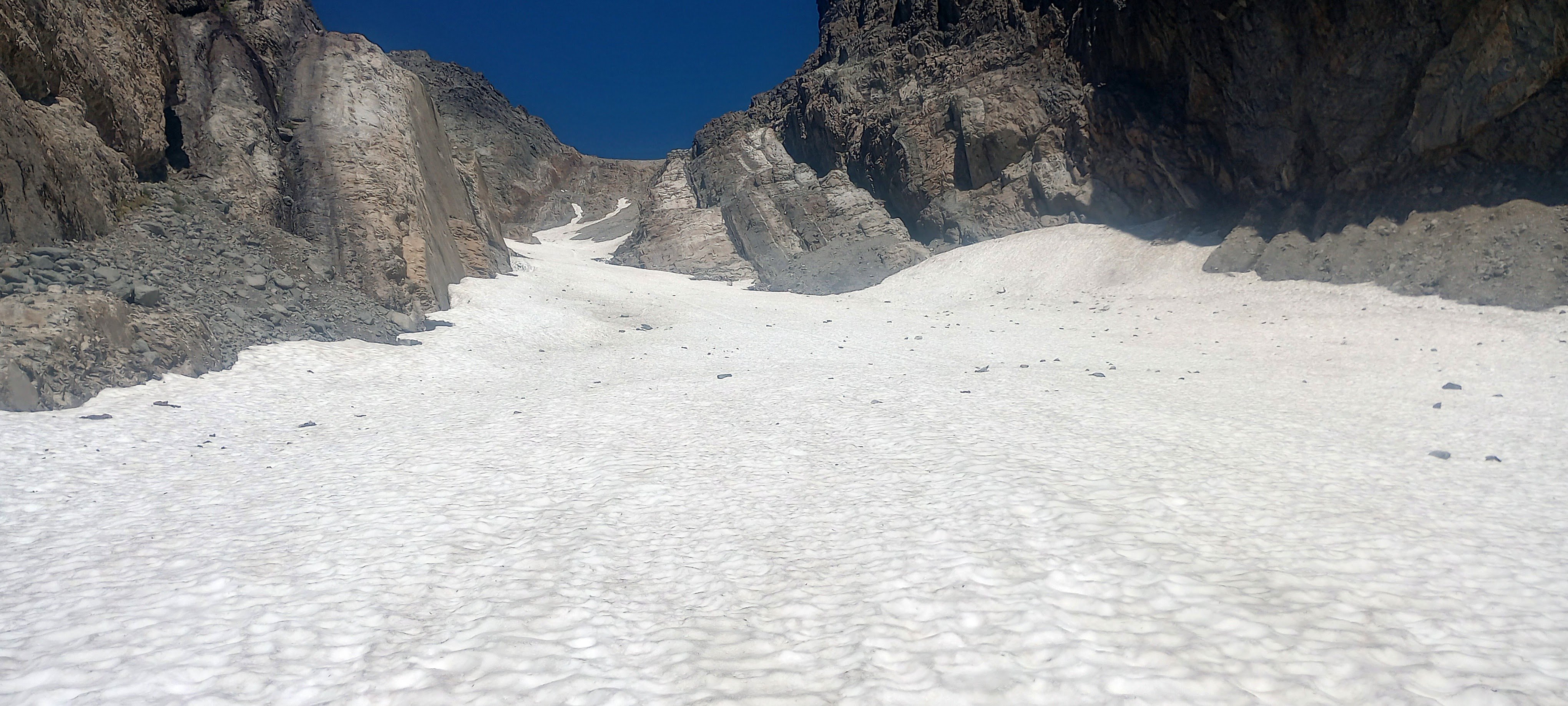
Trip: Lemah Mountain - via Pete Lake (3rd class) (bike approach) Trip Date: 08/31/2024 Trip Report: I used my five-day Labor Day weekend to bike from my house out past the Pete Lake trailhead to climb Lemah and bike home. I really dislike sitting in traffic, and I like riding my bike, so it made a lot of sense! This was a soul-fulfilling trip with lots of time and space to think, not think, observe, and move across the state and up to the top of a really awesome peak! I won’t bore everyone with ALL the bike details, but here’s my VCB (very capable bike) before leaving home. Ready for adventuring! Day 1 - 9:30am - 3:30pm: ~60 miles by bike. Home to Carter Creek camp on the Palouse to Cascades/John Wayne/Iron Horse trail. Started eating a lot of snacks! Talked with fellow bikepacker Craig from Chinook Pass at camp, he looked at my bike and asked what the ice axe was for. He told me about going into the Stuart Range 30+ years ago, “You could camp ANYWHERE back then!” No going back to those days… Day 2 - 6:45am - 7:30pm: ~55 miles by/with bike, ~2.5 miles on foot. Woke up to my brain singing something I hadn’t heard in probably like 25 years: “Are you ready for some FOOTBALL?” – weird stuff! Soon I was pedaling along the trail singing something like, "Heyyyy wild kitties, today's not the day, leave me alone, I don't wanna play.” Stopped when a Douglas squirrel was harassing me from the side of the trail (a common thread throughout the days) and watched it turn a pinecone over and over in its little hands, gnawing and letting the scales fall away, eating the nuts, then discarding the little corn cob. Amazing! Through the Snoqualmie Pass tunnel, turned north in Easton. Had an unexpected cortado at an espresso stand and resupplied at the gas station, then started up the road leading to (kinda chunky, kinda sustained steep, grindy grindy) forest service road. Finally, doing some real elevation gain! Left some mountain bikers in the dust after asking if I could join their bike gang for the climb. Sorry guys! But then I got to the 2.5 miles of black diamond MTB territory heading north. How do people bike up stuff this steep, and narrow?! I hiked my heavy-ass bike about 97% of this, both uphill and downhill. I knew it would be a lot of HAB for this section, but it was steep and dusty and narrow, full value HAB! Happily, there always seemed to be tons of giant delicious shiny mountain huckleberries whenever I really needed the morale boost. After that, things got a little better with four miles on No Name Ridge which is supposedly a blue square trail – maybe old skool, sandbagged blue square? I liked this Trailforks report: “Do you like pushing your bike uphill, nearly, seemingly, endlessly? Then this is the ride for you!” Definitely rode more than 3% of this section, but still – a good amount of HAB. However! Most of this was on the ridge, so stellar views abound! Lemah, Chimney Rock and Overcoat, The Chiefs, Bears Breast, Hinman, Daniel, and Cathedral Rock! (Stu, too, but out of the frame.) And there were actually some really good flowy sections with nice trail. Stopped and watched/listened to a couple of grouse (maybe mom and one juvenile?) traveling along talking to each other. After what felt like a very long time, I reached the end of the climb and the gravel descent down to Cooper River was AWESOME, smooth and fast. Soon I was at the Pete Lake trailhead filling out my little ALW permit and continuing onward on my bike! You can go about 2.5 miles until the ALW boundary where I made the transition to backpacking mode and stashed my bike in the woods. From there I quickly made my way to Pete Lake (about 2 more miles) and found a truly stellar somewhat secret campsite and settled in for the night. Day 3 - 6:30am - 7:45pm: ~13 miles on foot. Lemah! This was an interesting route that included a lot of slab walking, waterfall slabs, tarns and amazing views everywhere. Beautiful start when you start on the climbers’ trail, next to waterfalls and pools of Lemah Creek. I had to do a little extra gain to get this photo, but you can see the route -- along the right side of the marshy area, up the gully, up most of the snow finger, then traverse across, below the second ridge-toe, then the scramble up to ridgeline, along the ridge, and then up the main summit! Whinnimic Falls on the left: The B2 schwack was not that fun, but could have been worse. The gully was Not Fun. It's a cool canyon, memorable feature, but so much churned up, unsettled rock and sand and all the rest. Going earlier in the season seems like a smart and fun snow climb (bring the skis). I took the snow finger up to around 6100’ and then crossed a few some other snowfields (but could have stayed off if I wanted). I was really happy that there were no real issues with the snow – no weird moats, no difficult transitions, no blue ice that I had to go around or anything. I only saw a couple patches of bare ice and a couple of holes, but I didn’t need to go anywhere near them. And none of the snow was very steep and it was all soft enough for the aluminum crampons on my trail runners (glad I had the axe). Lucked out with the freezing levels being so high during this time! Fun slab walkin' (view of Three Queens and Chikamin I think): Lots of solid and enjoyable scrambling in the upper parts of the mountain (lots of options for 4th class if you wanted it): Final scrambly bits to gain the ridge: : Summit views were incredible! Right next to Chimney Rock and Overcoat. Seeing Burnt Boot Peak, Big Snowy, Chikamin, Huckleberry, Thomson, Stuart, Baker, Shuks, Tahoma…Really amazing. Also, lots of flying ants on the summit! Maybe a reproductive swarm of western thatching ants? For the down-scramble, I had Mista Dobalina stuck in my head. I saw a pika pretty close up, then a marmot pretty close up, lots of grasshoppers. On the way down the gully, I was surprised to see a couple coming up. They were planning to do a loop, not climb anything. I said something about “So is this the obvious gully?” and the dude didn’t get it. Awk. Toward the bottom of the creek where things start to level out, saw a couple of those water birds that do the little squat dance (American Dippers or water ouzels). Amazing birds! And lots of huckleberries again, even a few thimbleberries that were still pretty good. I was going to see if I could bypass all of the alder by just wading through the ponds. Unfortunately the water started getting too deep but for a very serene six or seven minutes I was just wading quietly in this really nice clear water up to about my waist and it was awesome, lots of tall reed-like grass around me, I felt like a water creature. If I had had the ability to make my stuff waterproof I would have loved to have traveled by water and bypassed the schwack. The water was cool and refreshing; a really special moment. Later, closer to the actual trail, I ran into another couple of people. Emily and Sky. They were super friendly. Maybe 10 minutes after that I ran into another couple of people! Both parties were trying to camp up on the beautiful domes above the creek. Day 4 and about half of Day 5 were biking home. Pete Lake trail was more fun on the way out, and then there was an amazing paved descent down to the Cle Elum River valley (shirt dip), an experience of culture shock when I rolled into Roslyn’s Sunday farmers/street market (so loud, so many people), super hot riding the trail back westward (another shirt dip in the Yakima). When I stopped in Issaquah to see if I could see any salmon, I saw two making their way up the creek! A great trip! Gear Notes: Light axe, light pons, at least 6 voile straps Approach Notes: https://ridewithgps.com/routes/473323644 points
-
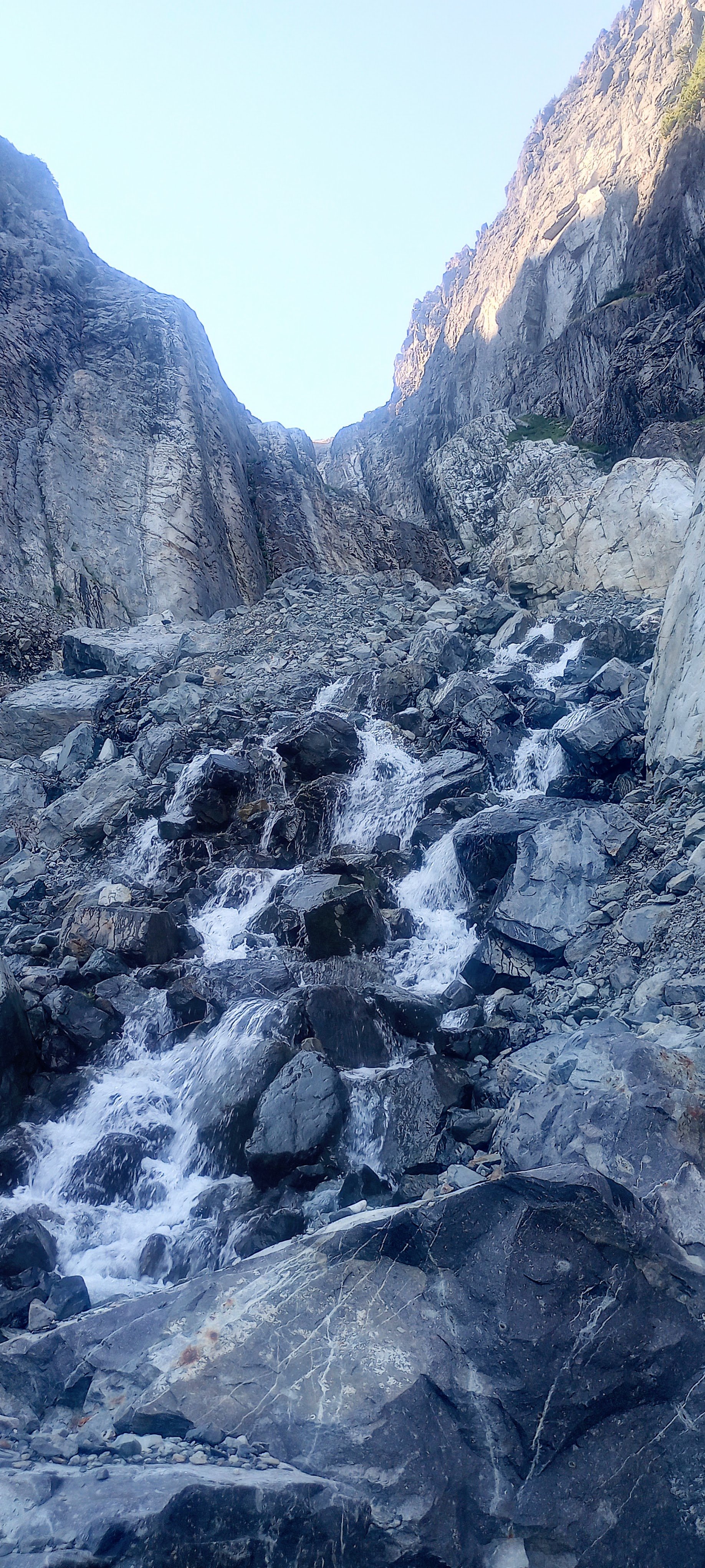
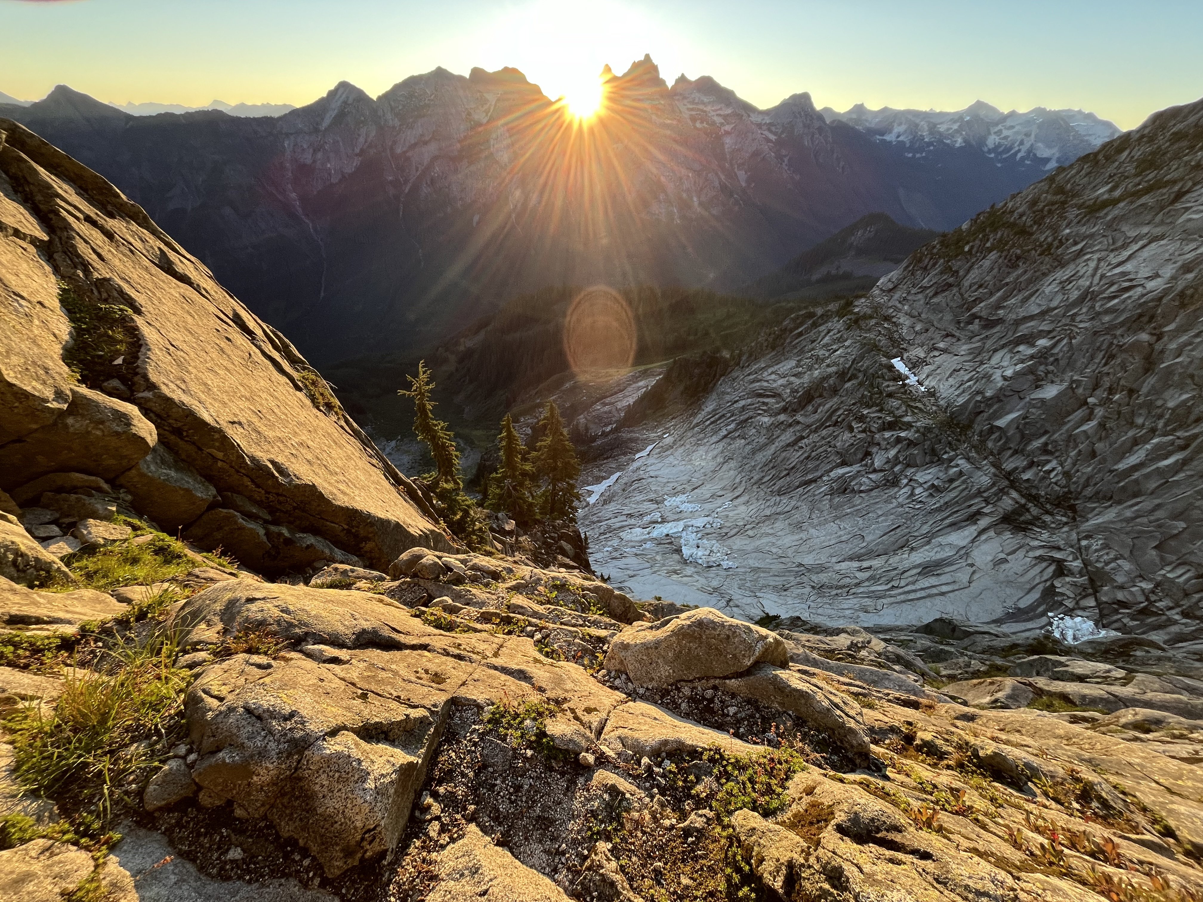
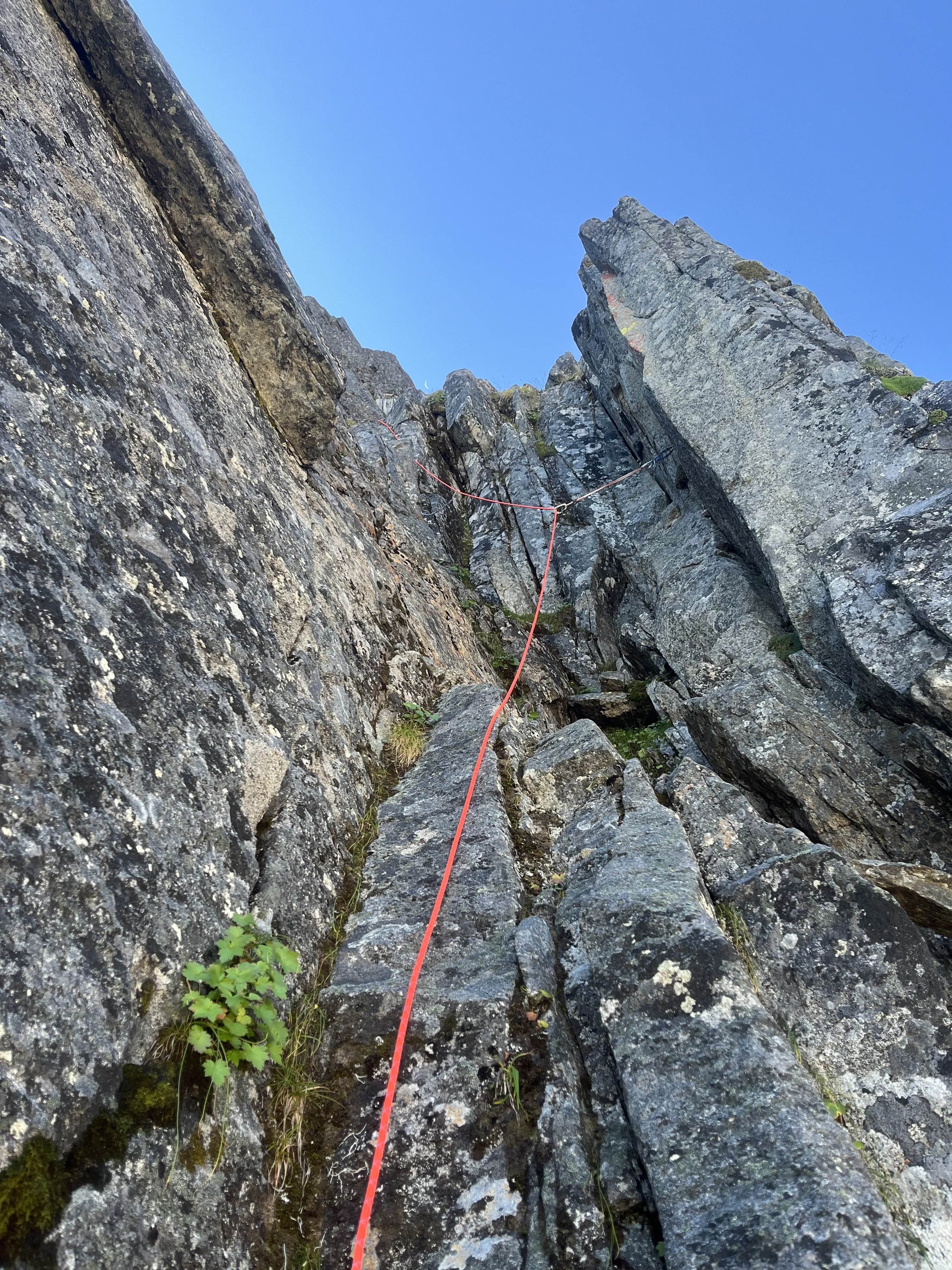
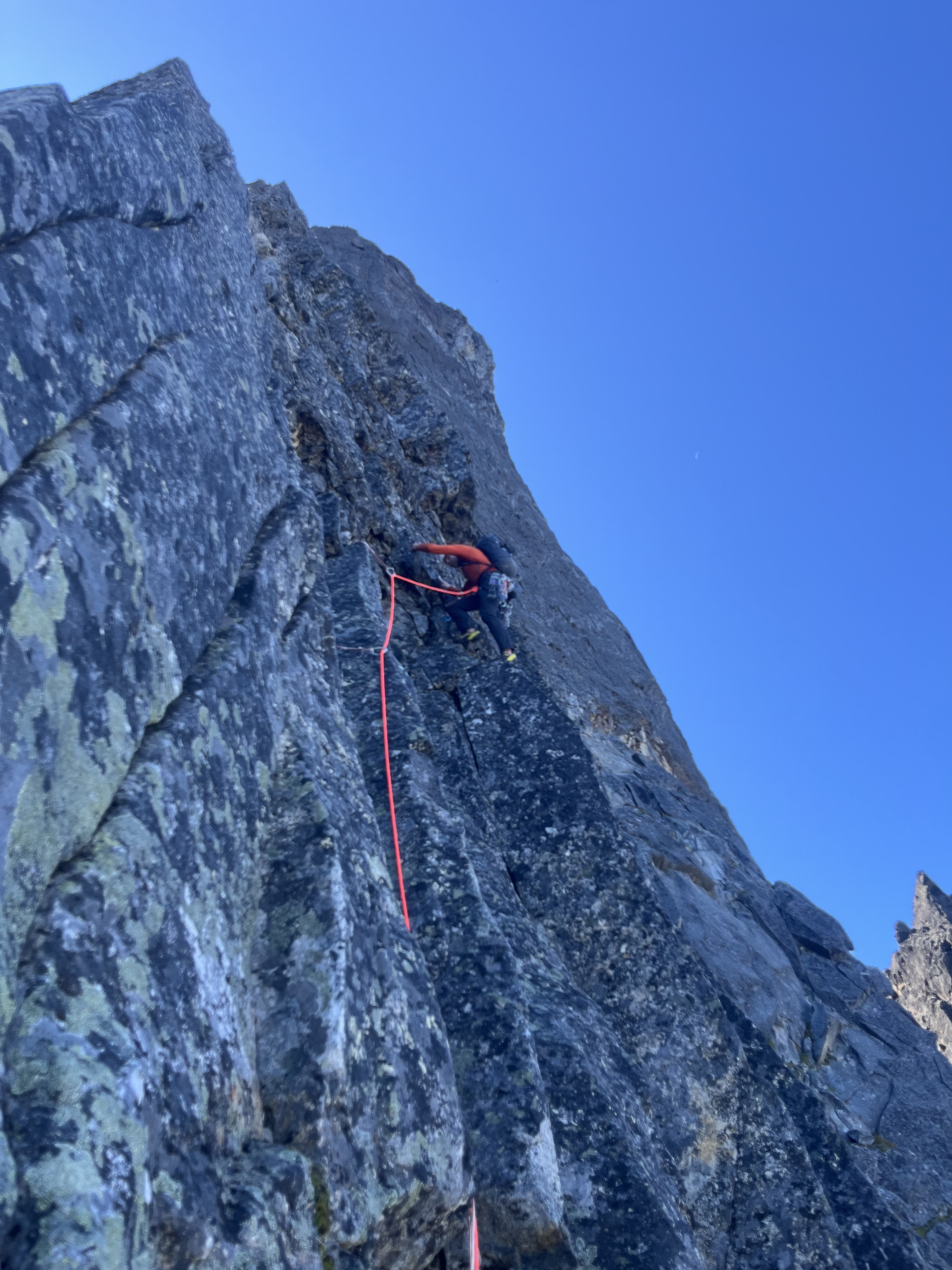
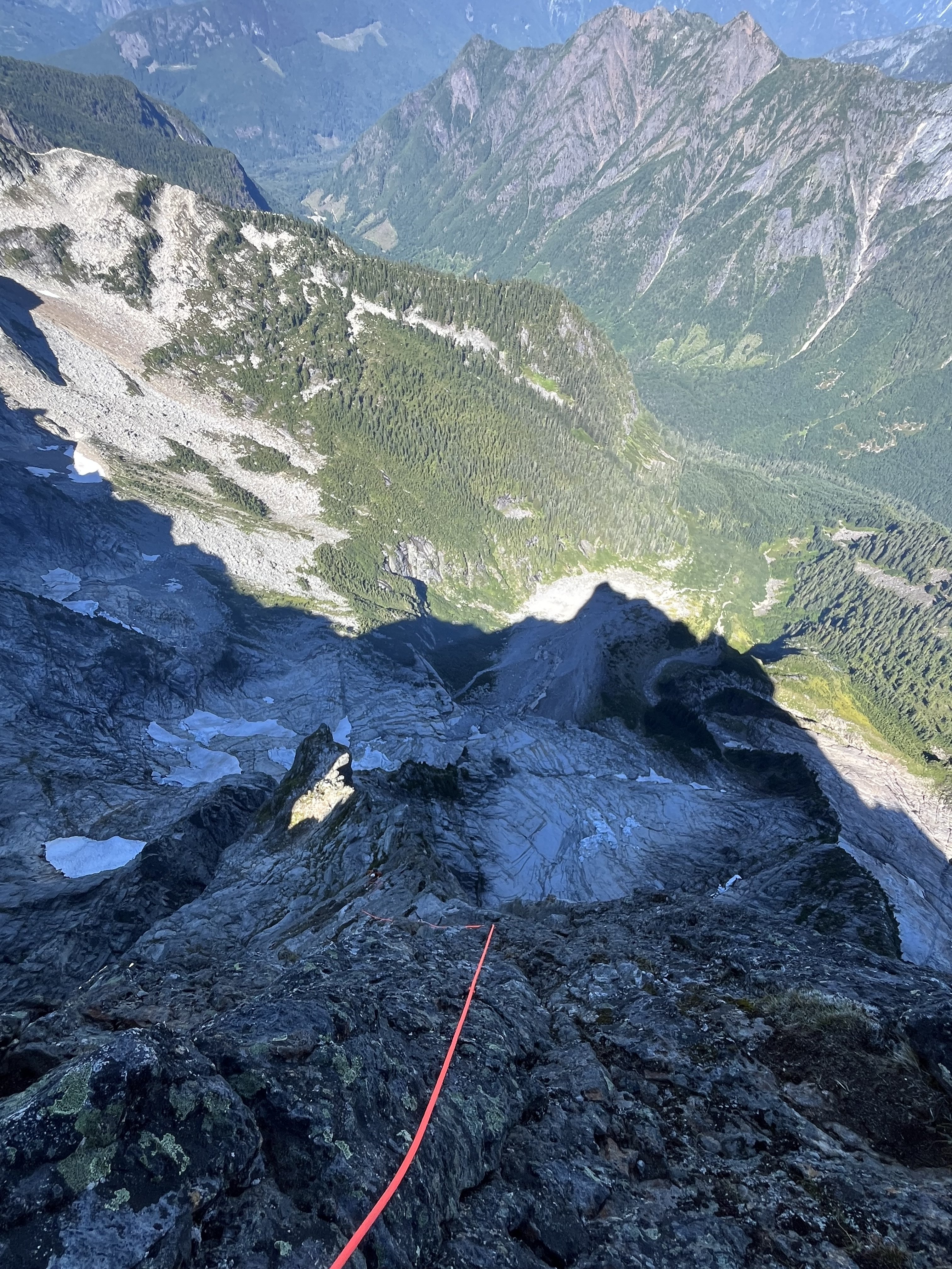
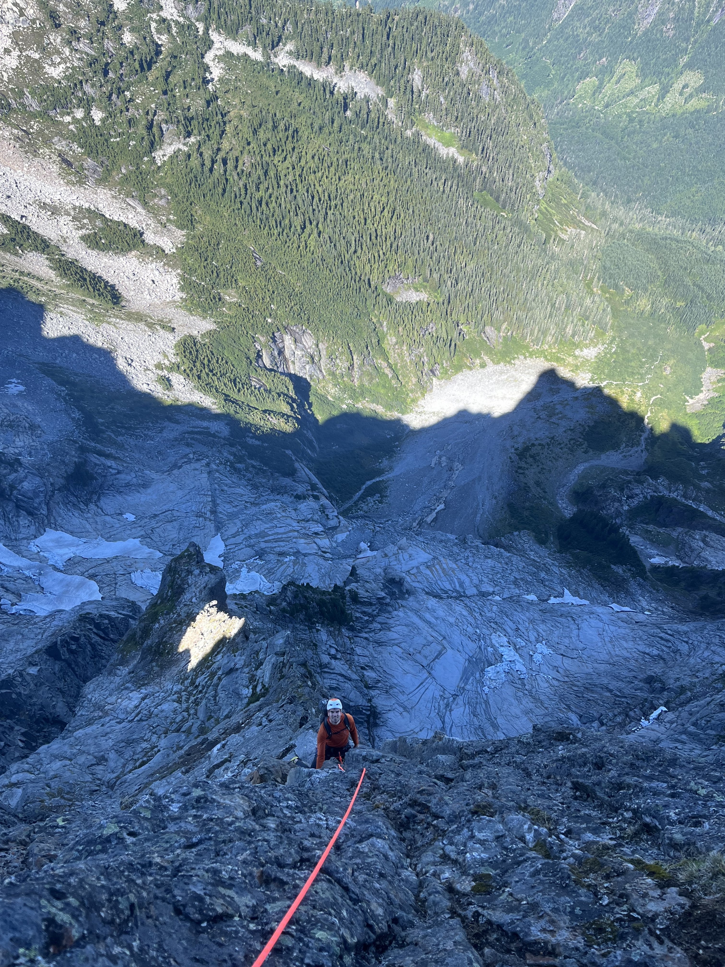
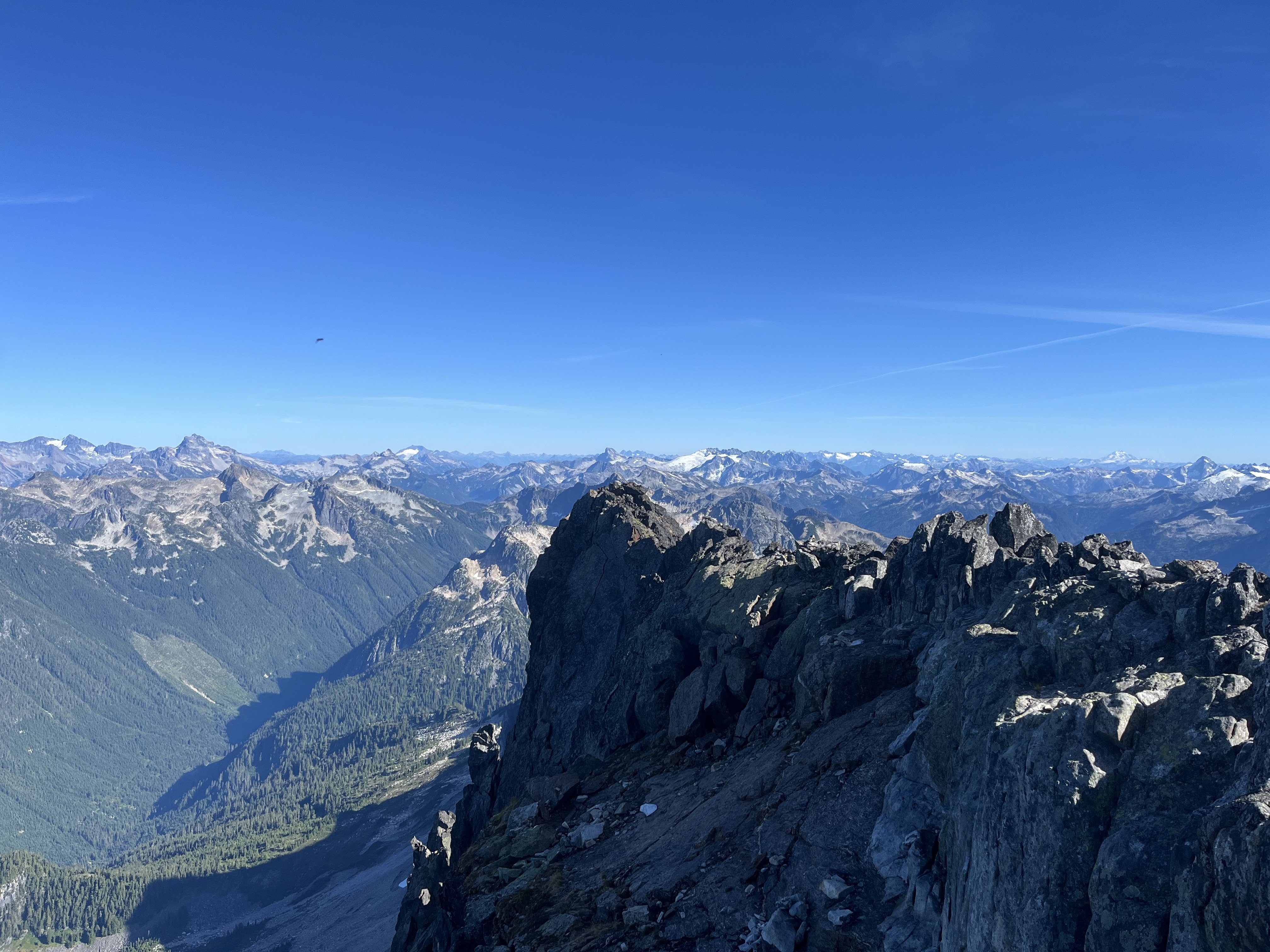
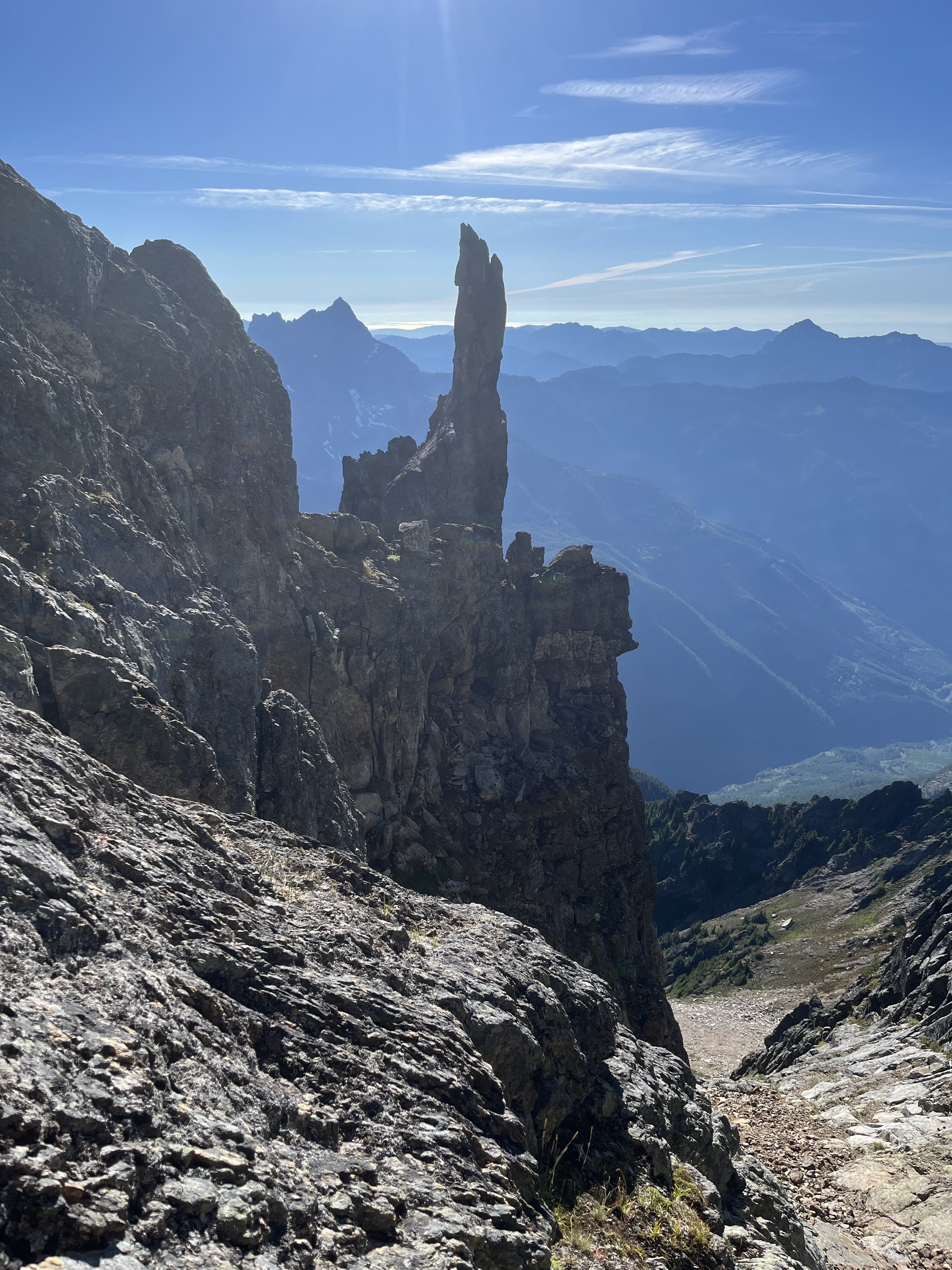
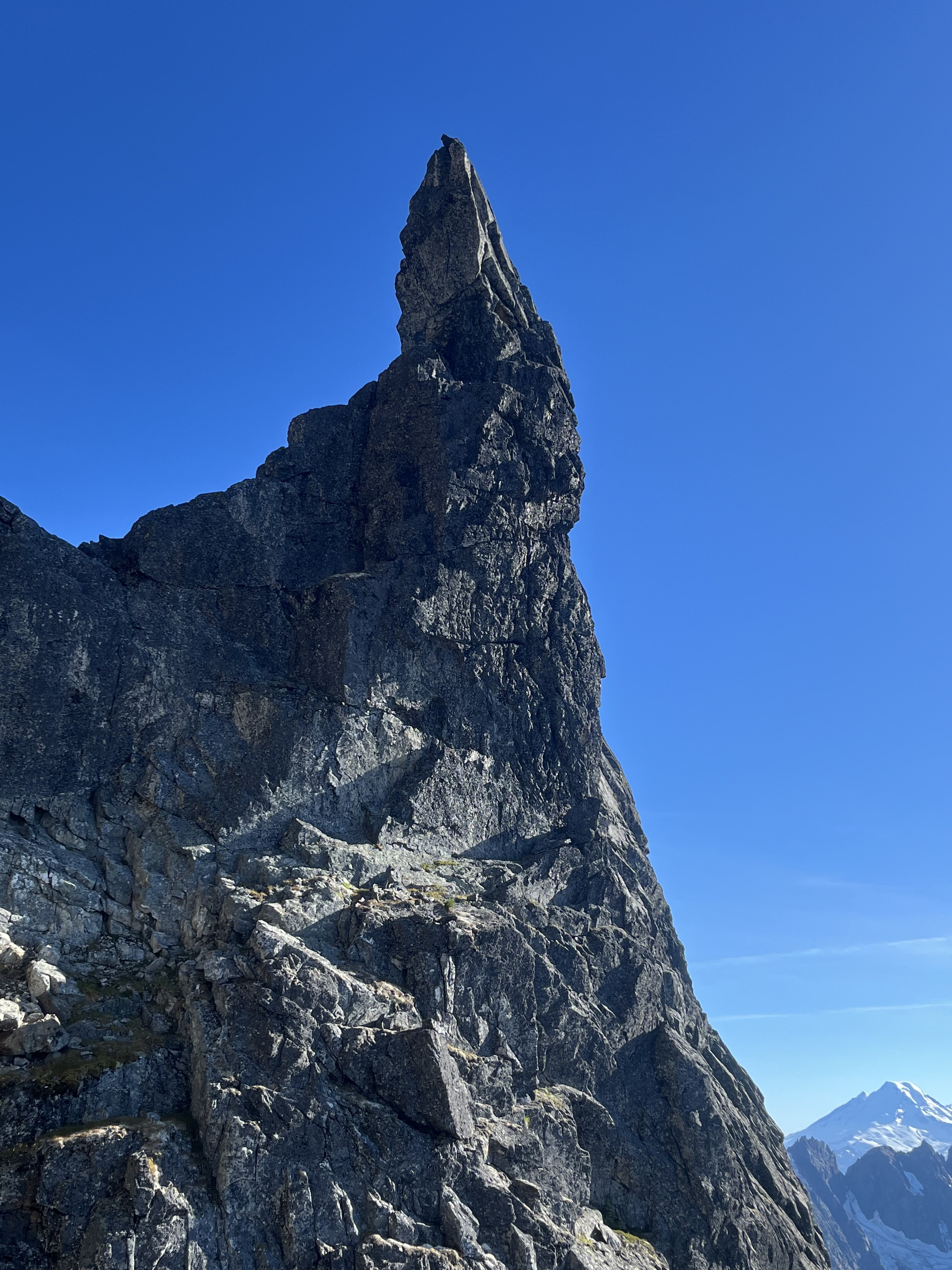
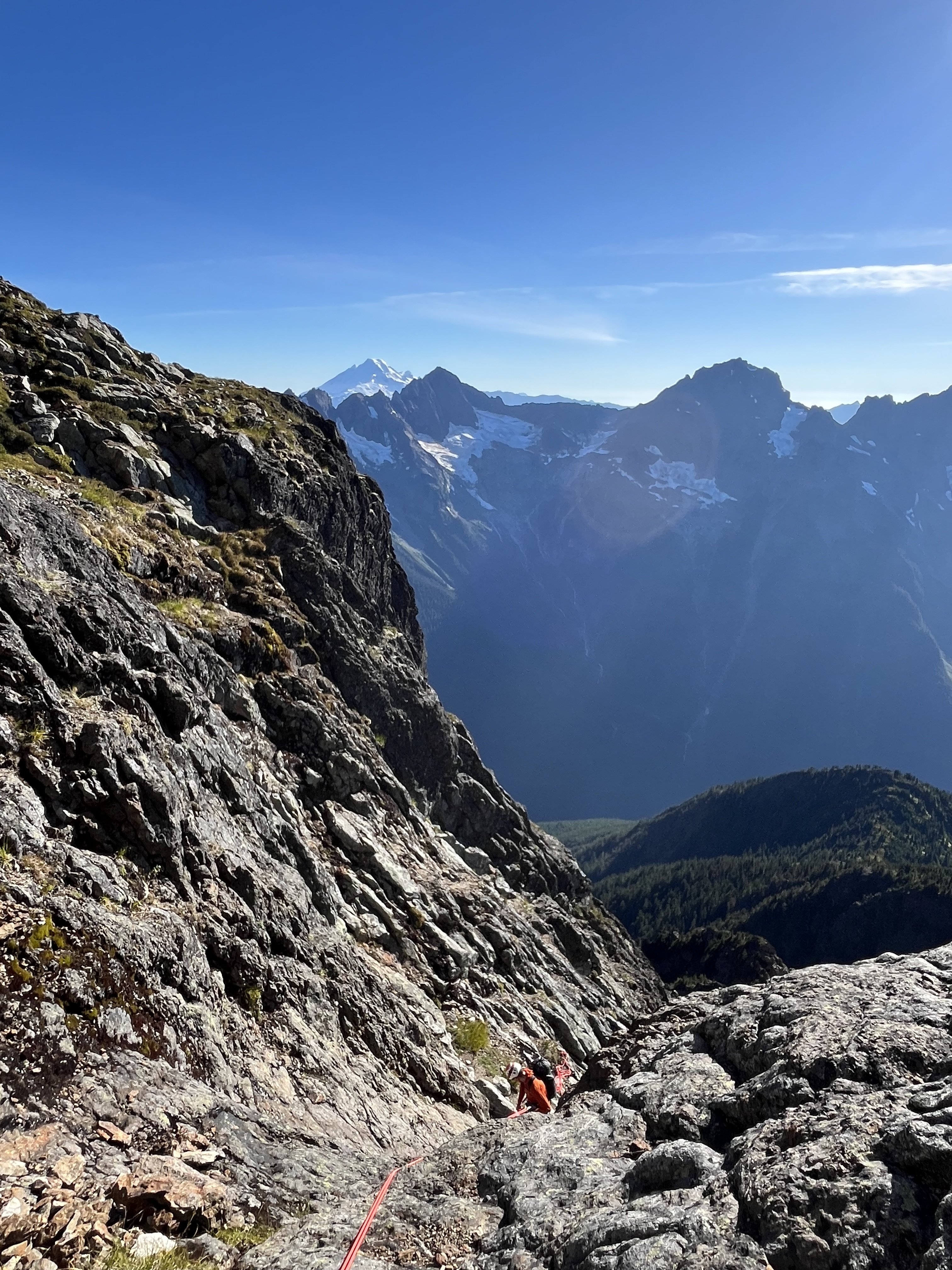
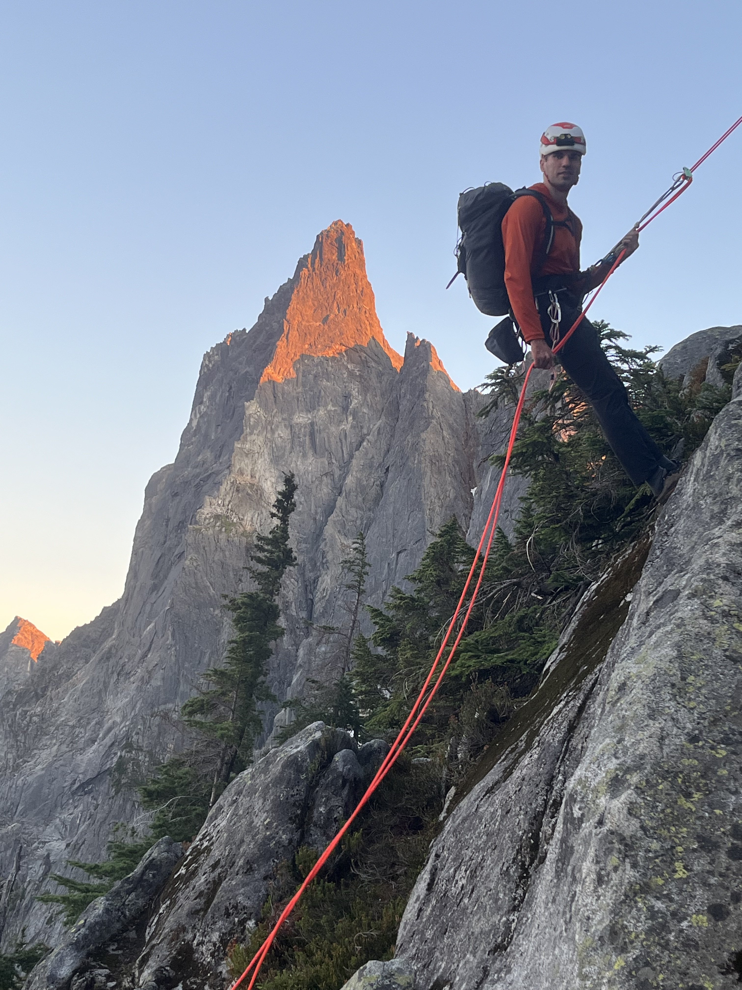
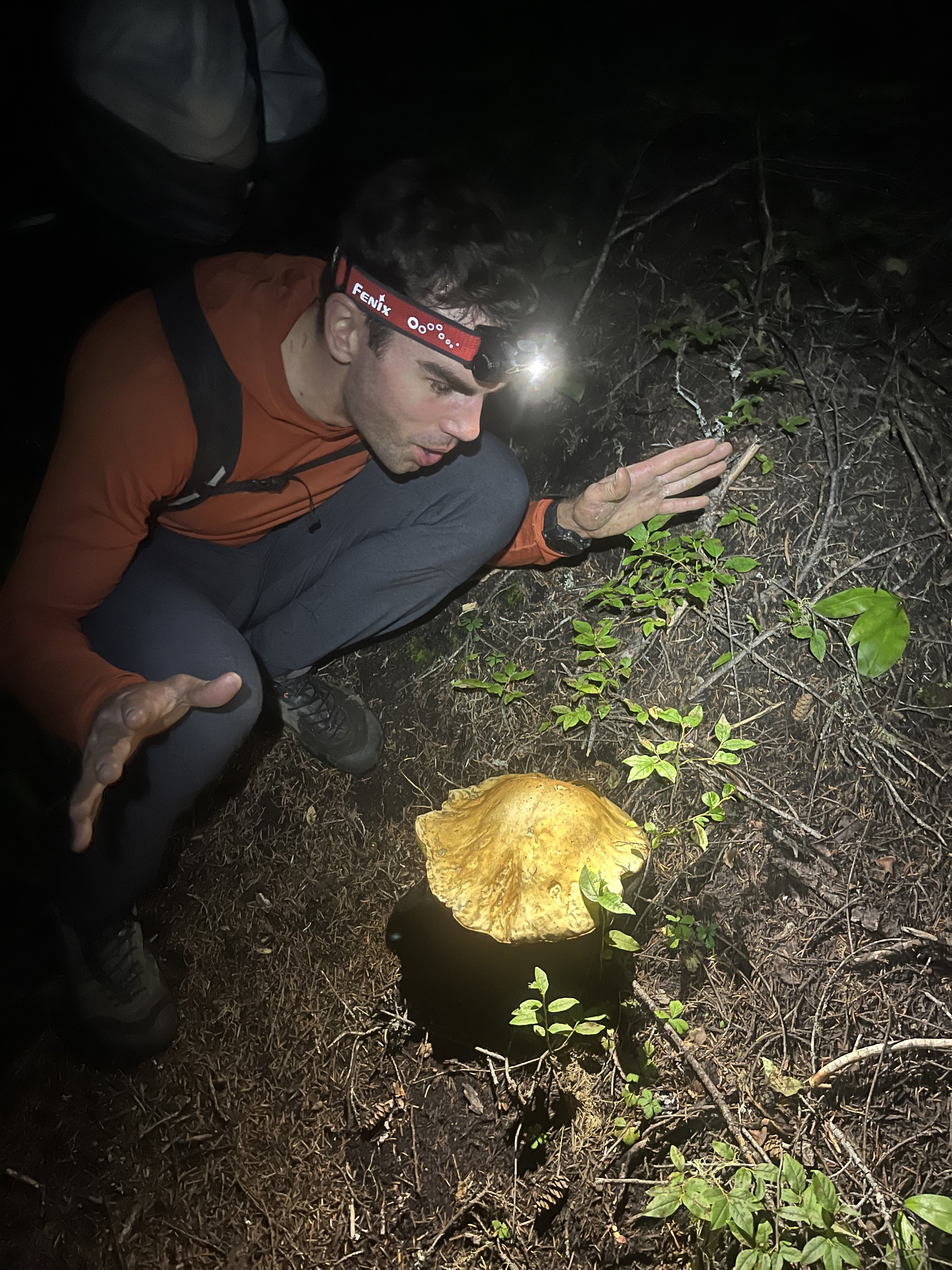
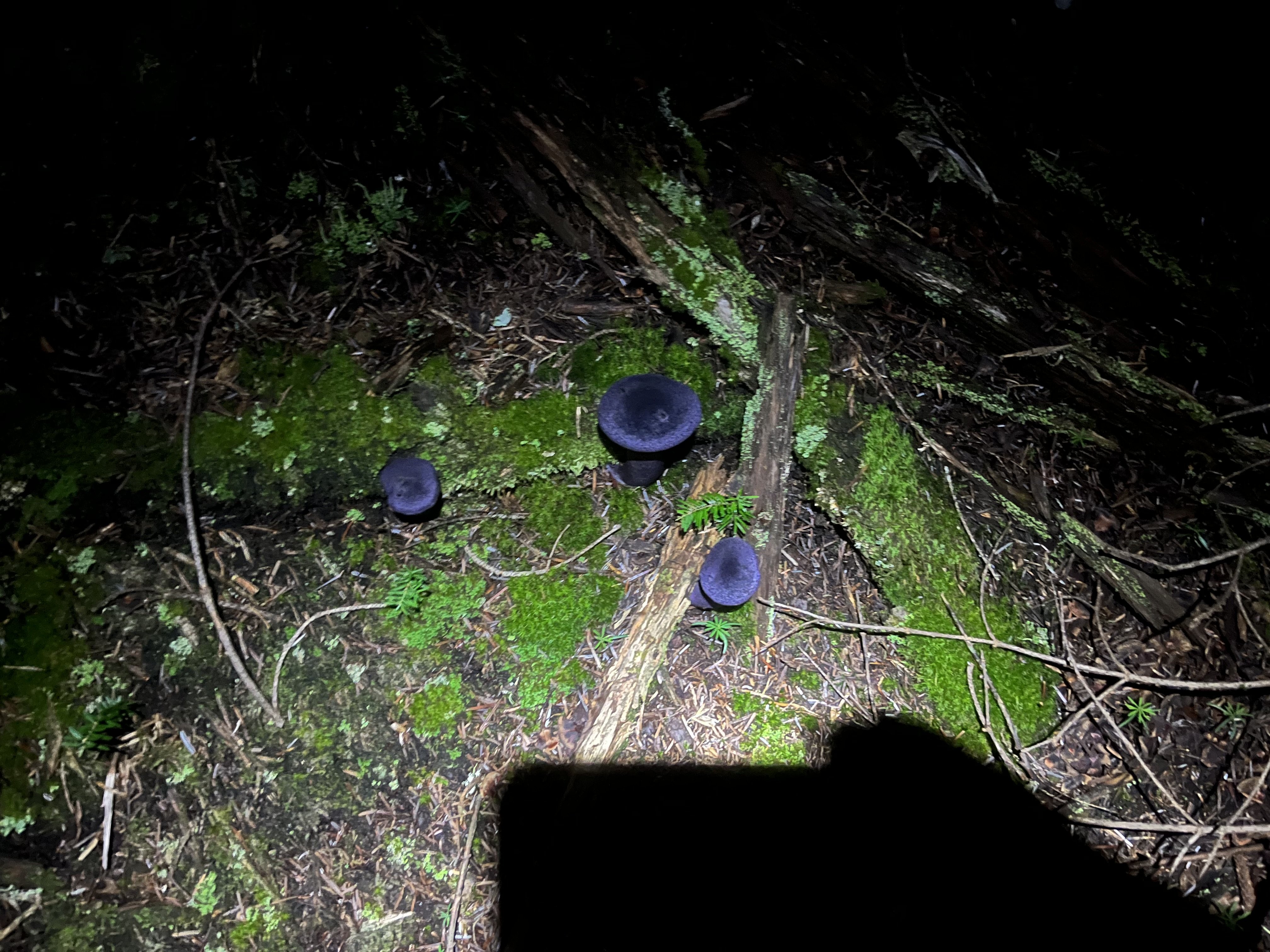
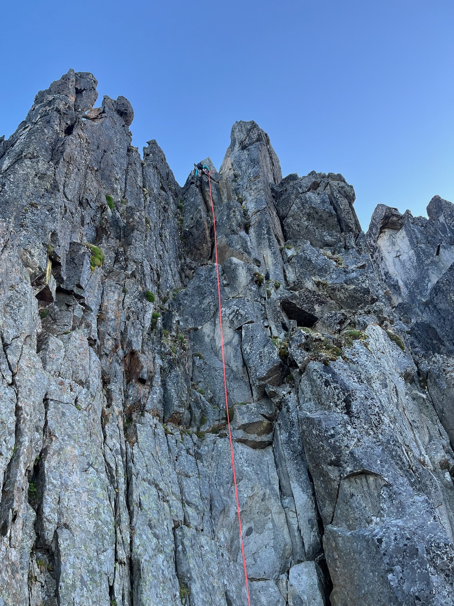
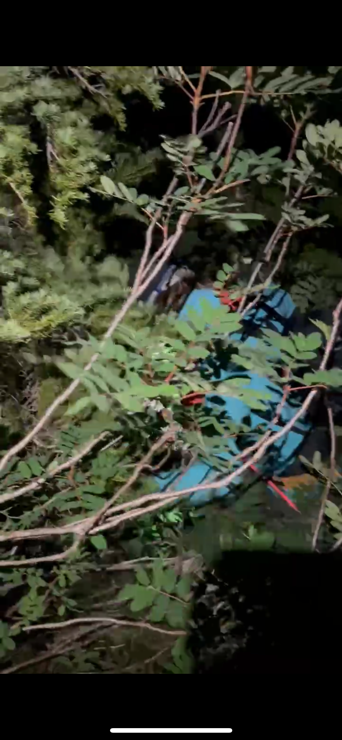
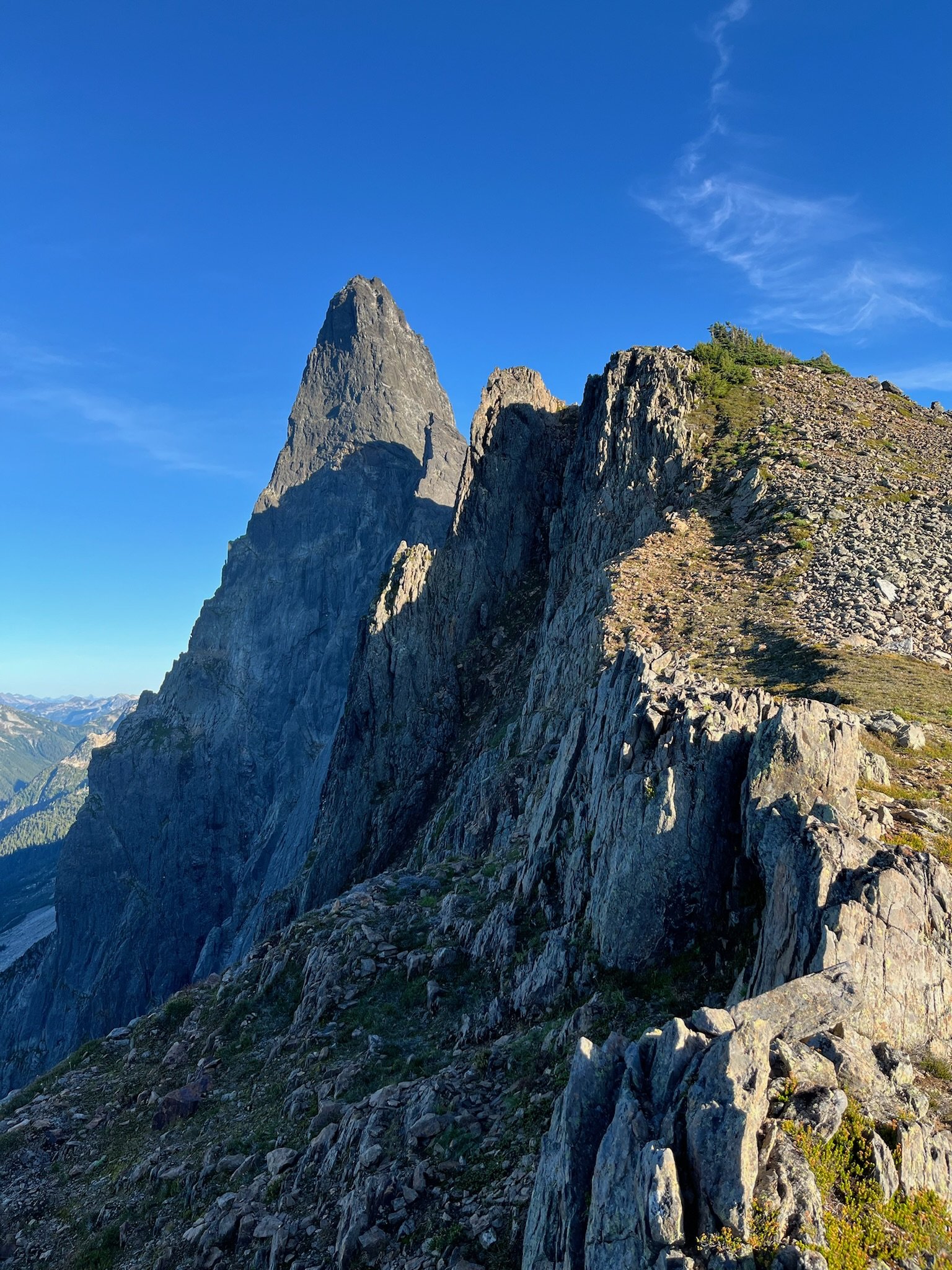
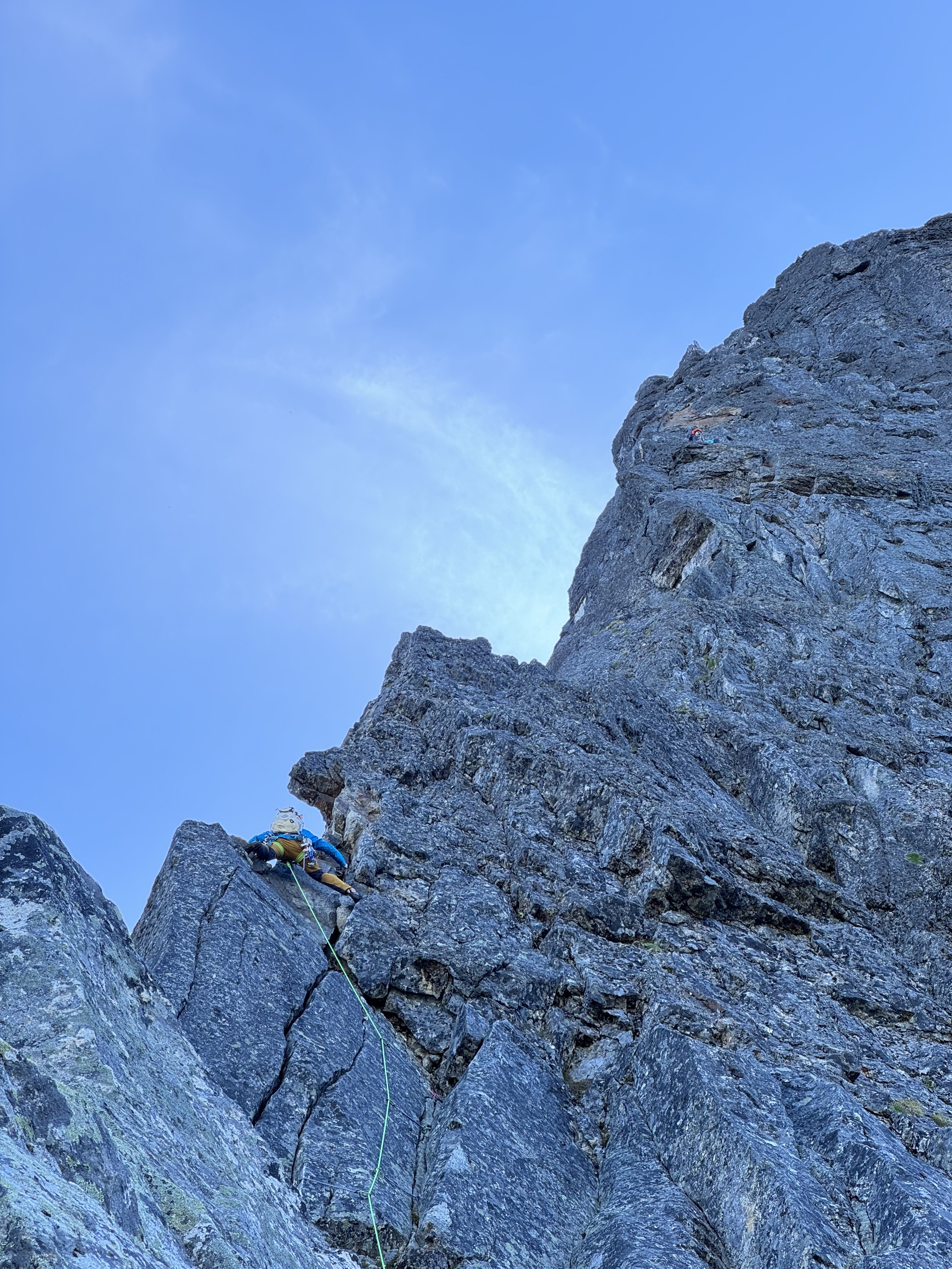
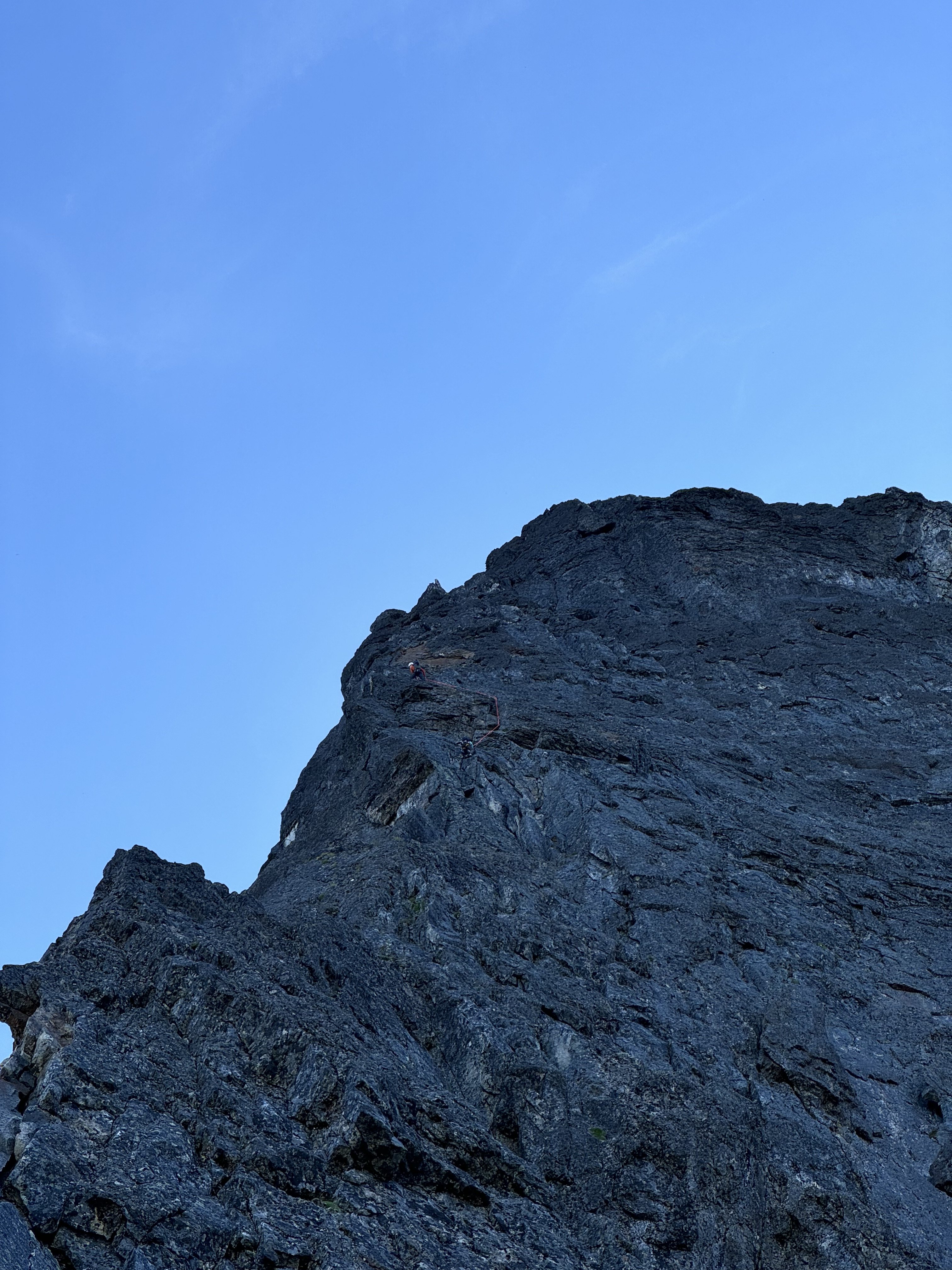
Haven’t seen many TRs here for this route in the last few years, so I’ll chip in. Hitting the trail at 3am worked well for us (after heading down the spur to nowhere for a few minutes before correcting course). This time of year that meant arriving at the propeller cairn just in time for the darkness to begin lifting for the scramble down to the slabs. We filled up before that scramble (4L for my partner, 3.5L for me) but could have done so a little later. There was plenty flowing from ice blocks on the shelf at the end of the slabs right before you gain the ridge. We also ended up finishing the technical part of the day just before dark. Along with all the water and a little extra food we had enough stuff to ride out a bivy if needed, but intended on a c2c. We planned to simul most of the route but ended up pitching out almost all but the section of 4th above the largest bivy ledge. Including that simul block I think it was 14 pitches for us: 3 to the notch where we opted for the bypass, 3 along the bypass, 1 to gain the bivy ledge, 1 simul on the 4th class stretch, and 6 pitches up the final headwall to the summit. From where we began pitching it out it took 9.5 hours to the summit. It had rained a lot (maybe even snowed according to some forecasts) two day prior. Before the climb I had worried about this but it wasn’t terrible. It was slick enough in spots to discourage us from simuling, especially in the mossy bypass section. The climbing on this route is super fun. The rock quality is never great, but it’s usually plenty good. Finger locks and hand jams galore, interspersed with interesting face climbing too. In some of the dirtier sections there are little solid rock islands (often polished white) in the choss that lead the way, keeping the difficulty lower than you’d expect from a glance. We each had a couple minor slips on wet sections but no holds broke the entire climb. We roped up at around 5900’, expecting to simul. But my partner led into a tricky traverse so we pitched this one out to a ledge. From there, slabby moves to the left looked just a little too committing and devoid of pro, and I found a fun blocky way to the right, stopping at a slung tree. From here my partner led us to the junction with the bypass (there might have been a little simuling on that pitch). After one lead in the mossy damp bypass my partner declared his distaste for it and so I led two more pitches to join back to the crest (the second of which was 4th class, I didn’t bother with pro). At this point our beta mentioned a 5.8 layback, but I didn’t see any reason to climb it that way. It was more like 5.7 with fist on right and stemming and positive holds on left. The only real difficulty was some wet rock, but the feet were secure so it was good. Almost new moon shot, zoom in. Somewhere in the bypass section. The big bivy ledge was one of only two times we were in the sun during the ascent, aside from the first couple pitches gaining the ridge. I led up the fun scramble to the next sunny bivy ledge, below the final headwall. It seemed like our pace was reasonable enough to this point, but the summit looked quite a ways off from here. Just left of the crest a left facing corner fist crack on granite looked like an inviting start but the beta described starting right of the crest so that’s what we did instead. Starting up the final headwall. Rock was generally good going up the headwall, with lots of finger, hand, and face climbing as mentioned earlier. I took the second pitch. My partner led the third pitch (5.9) which was the crux and the best climbing on the route. As an extra bonus, the crux was the wettest spot on the route. Fun traverse right on steep rock that looks harder than it is. I led the fourth pitch, which might have been runner up funnest climbing. There was a delicate traverse through some of the more obviously loose choss on the route near the end of the pitch. The view from the top of this one down the ridge is pretty wild. Another party was finishing the 4th class section at this time but I didn’t see them again. Climbing on a Thursday worked great. No one else was at the trailhead when we arrived Wednesday night. My partner said there were two parties of 2 behind us. I imagine today (Saturday) it’s a lot more crowded. From here it was probably 5.6 maybe 5.7 to the summit. We could have simuled but were in the rhythm of swapping so kept that going for two more to the summit. Didn’t check out the final bypass to the left. Staying on the crest was fun and easy, I’d recommend it. The rock suddenly transitioned back to clean granite just before the summit, icing on the cake. Amid a big insect orgy on the summit we briefly savored the views of Jack’s Nohokomeen, Luna, Challenger and Shuksan. Baker, Larrabee, and the border peaks kept us company as we descended by a crazy prominent tower. Above a classic obvious gully I saw a trail heading down a slope and mindlessly charged toward it. Fortunately I lost only 200’ vertical before realizing this was the wrong way (carryover). Back up to the correct notch we did more traversing over variable terrain as the climb we just completed came in and out of view. The descent is really long and I wasn’t up to speed on the rockfall induced changes to the standard descent. Fortunately my partner had paid more attention in his research. After a couple of raps to Crossover pass he corrected me after I blew past the start of the crack of noon descent. There was yellow flagging marking the route, and bolted rap anchors all the way down. Trying to be efficient I down climbed in parallel with my partner rapping, occasionally joining onto the rap for damp and needly sections. Most of the route is less than 5th class. We touched down and packed up the climbing gear just in time for headlamp hour. I had a random gpx from a decade ago for reference. We headed down blocky talus which was fine enough. Gradually we reached a vegetated area. The track I had made a big diversion here. It was only about 300’ wide so I decided to just follow an approximately straight line here, thrashing as needed. My partner was unimpressed but it really wasn’t very long or so bad, plus there were berries With the groans, thrashing and berry munching we might have been mistaken in the dark for bears. Finally our reference track popped out on an obvious trail. We could have used a better reference. With all the flagging, blazes, and traffic, there’s got to be a much better way that we just couldn’t see. Once on the right trail we sailed down the increasingly dank trail. Saw some of the largest mushrooms I’ve ever encountered, plus some cool deep violet ones. We arrived back at the car a little over 20 hours after we left it. The trailhead still wasn’t crowded. Given the hour we opted to spend another night here. A couple years ago my partner and I climbed the north ridge of Stuart c2c, which took longer than this one, partly due to waiting out a squall on and after the 3rd pitch. That’s a useful baseline when contemplating long routes - seems long but hey, shorter than N ridge of Stuart, so let’s do it We agreed that Slesse NEB was a real good time and that we are probably satiated on epic days for the summer, though I might try to squeeze one more in.3 points
-
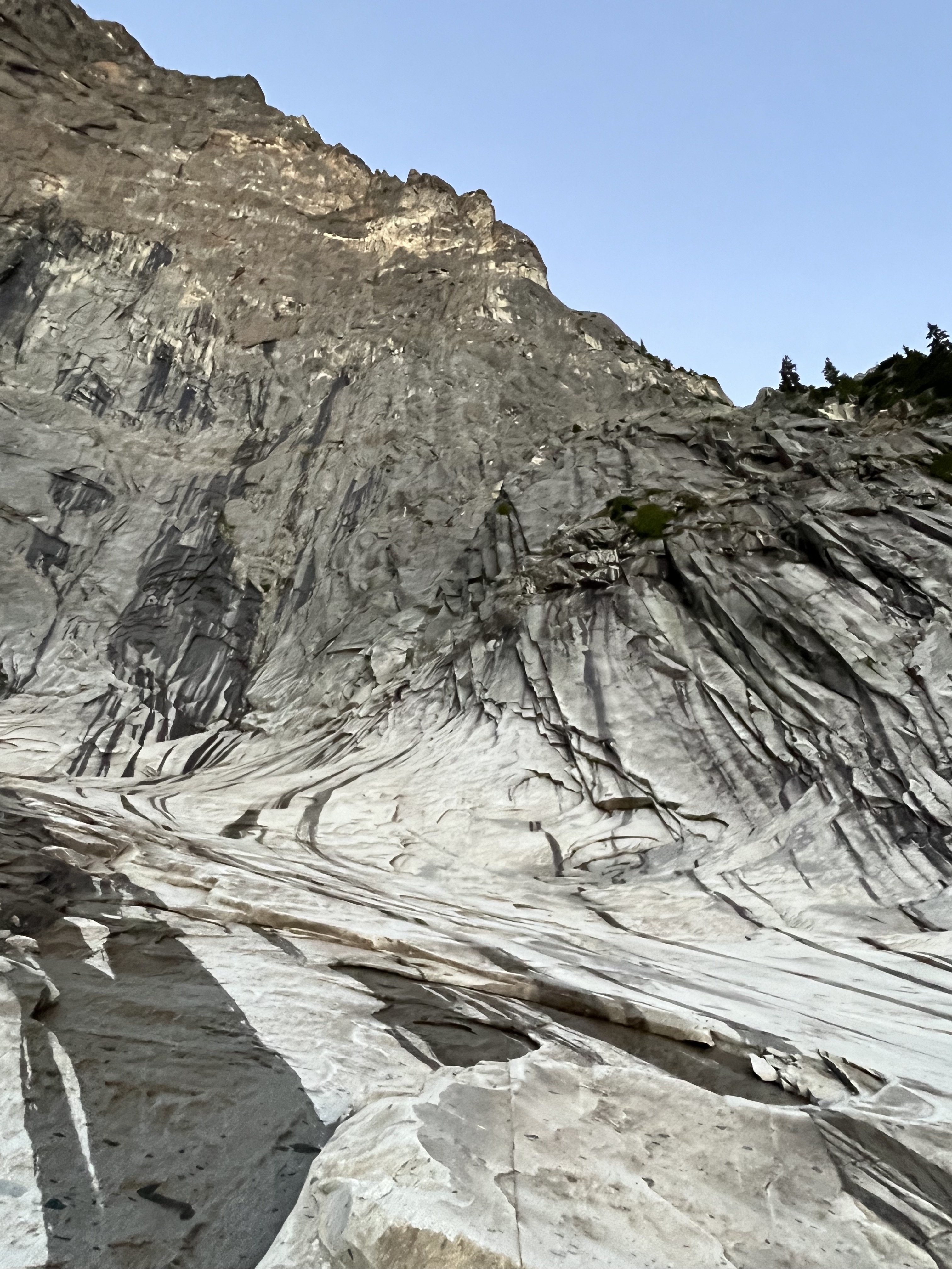
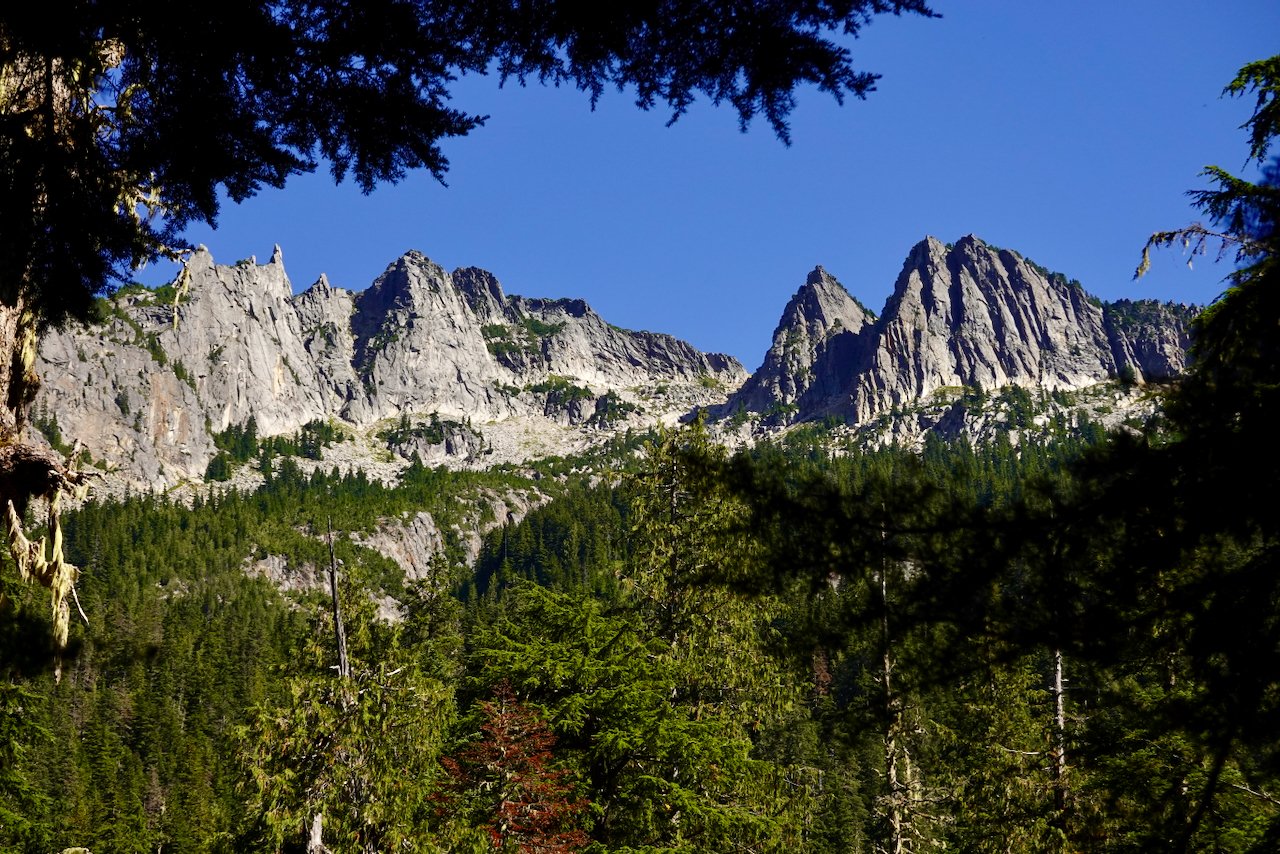
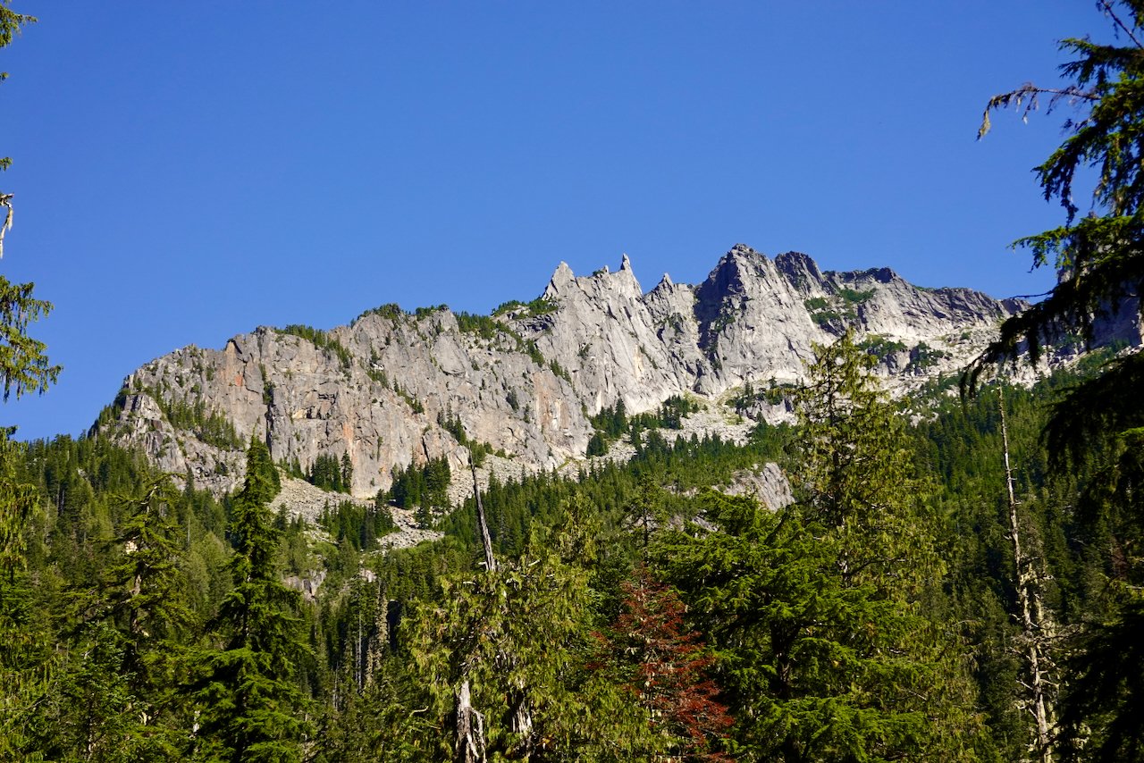
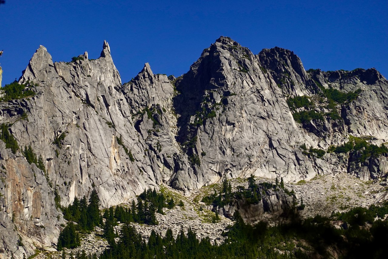
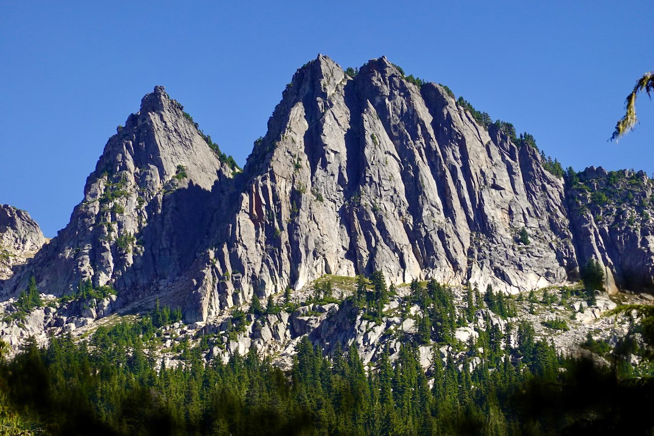
While Jason was probably out tagging summits, I hiked in to a few subalpine lakes with a friend who is even older and more out of shape than me. I had hoped we might get up into the rocky heights, but that was not to be. I did bring back pictures of some accessible Sweet Renton Snoqualmie Granite that to my (limited) knowledge has not been climbed. You could call this Dingford Creek Wall. To get to it, drive past der Garfieldwand to the Dingford Creek trailhead at 1400' elevation. Hike about 5 miles to Myrtle Lake at 3777', cross the outlet creek and ascend another 1200' in less than a mile to Big Snow and Snowflake Lakes. From there drop several hundred feet and contour around the toe of this buttress. This might require powering through some dense evergreen forests. But wow. It also looks like after topping out that you could just about walk back to camp which is a real bonus. And I hear there are fish in those lakes. Have Fun!!1 point
-
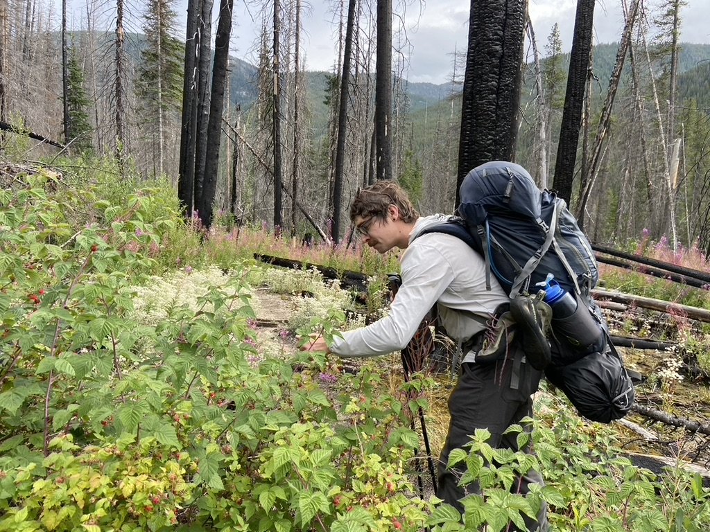
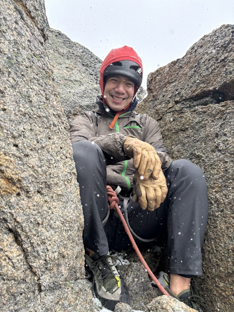
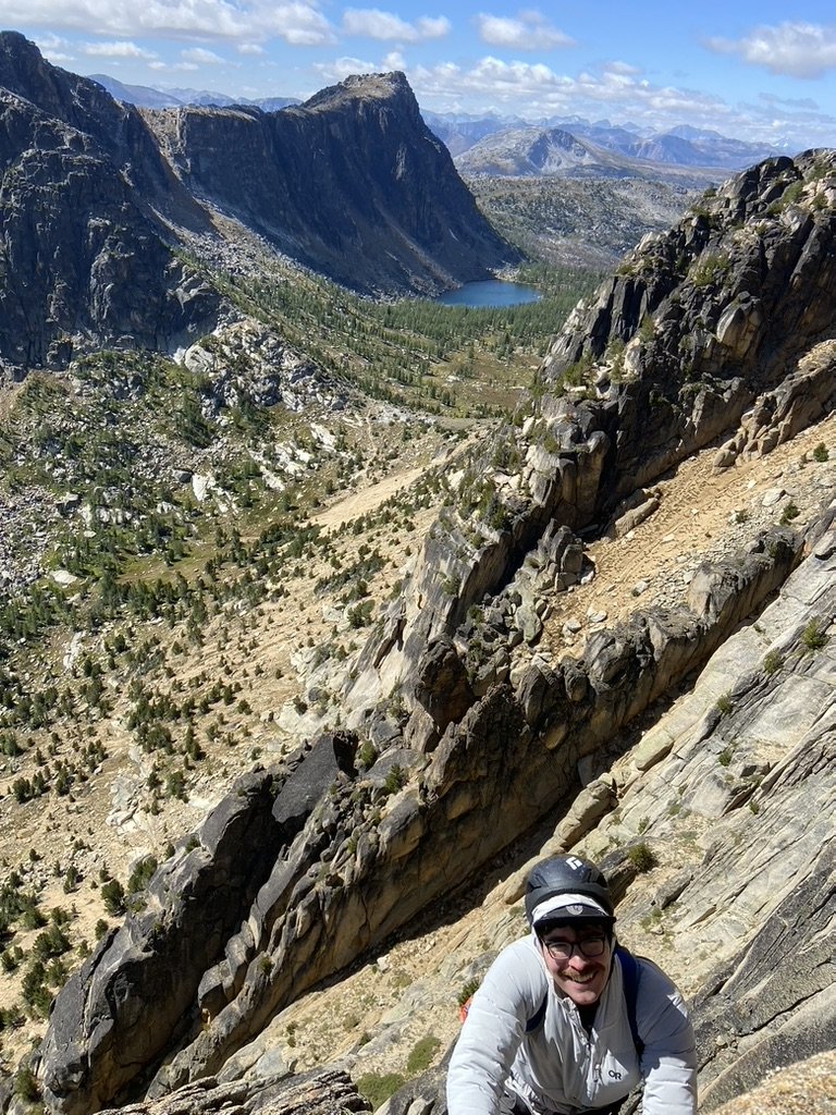
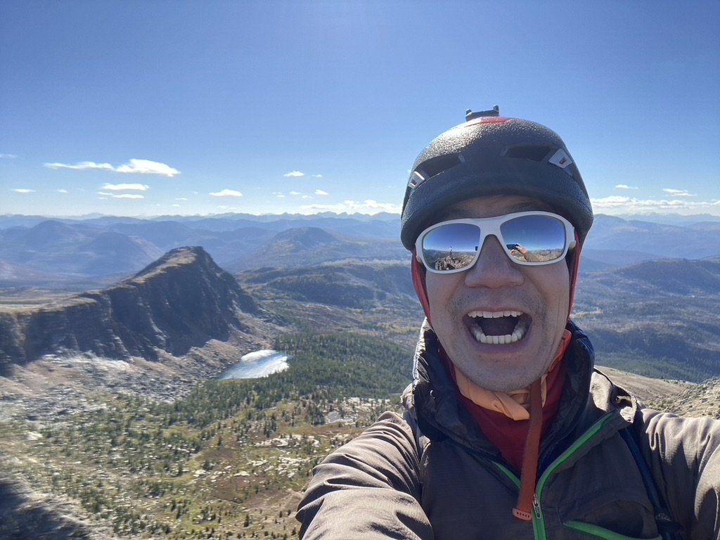
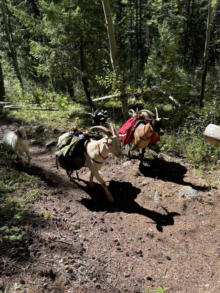
It seemed like fate. The guy seated next to me at my WFR class casually mentioned that his goal for the summer was also to climb Cathedral Peak. Ever since a failed attempt on Goode, I'd been wanting to climb something big with a long approach, and Cathedral had been at the top of the list for a while. I like the planning required for alpine climbing. Is this a backpacking trip or a climbing trip? Yes. Do I need approach shoes or would they be too heavy? Yes. Jacob and I decided on a 4 day trip. We left Seattle for Thirtymile Trailhead on Monday morning and hit the Chewuch Trail by 11:00 AM. The first 8 miles until the intersection with the Tungsten Trail are quite exposed from the various wildfires that have ripped through the gorge over the years. It's a busy horse trail, so it was in good shape with only a couple of blowdowns and very gradual, almost unnoticeable elevation gain. Also, perfectly ripe raspberries that the bears hadn't gotten to yet: We found a small campsite after 15 miles and slept soundly for the night. The next morning, we banged out the last 5 miles to Upper Cathedral Lake and thought we'd snag Pilgrimage to Mecca in the afternoon. A late summer snowstorm doused that plan. It blew in quickly right as we were roping up at the base, so at least we didn't epic and were able to get back to the tent, where we spent the rest of the day staring at the ceiling trying to stay warm. The next morning, we asked the inReach for a forecast. It said partly cloudy and high 40s with gusts up to 15 mph. At least with no more precipitation in the forecast, we decided to make a go for it and were climbing by 8:30. The forecast turned out to be exactly correct. I wasn't exactly freezing, but the wind was sucking the life blood out of my fingers and toes. When I arrived at the first belay, Jacob awarded me official Trad Dad status for wearing wool socks under my climbing shoes. By mid morning, the sun had come out and the wind had died down. In the chockstone chimney on pitch 2, I ripped off a toaster sized flake which luckily missed both Jacob and the rope. For a remote alpine route, the SE Buttress is surprisingly clean with only a few No Touchy blocks. Still, we doubled down on being careful and finished the route in good style in just under 7 hours. After we got down, we packed up camp and made it 5 miles to the horse camp near Apex Pass before resting for the night. The next morning, we finished the loop on the Tungsten Trail. The Tungsten Trail is slightly rockier and steeper in sections than the Chewuch Trail, but I think hiking in either direction would be fine. Water is plentiful along both trails, although stopping to filter water every few miles gives your body more time to express its resentment toward you. On our way out, we met some goatpackers who were training their herd to carry their stuff for them. We felt like such suckers for not thinking of this obvious life hack. This trip was an amazing experience. I liked that it required a ton of different skills to pull off successfully: trip planning, backpacking, climbing, risk management. And serendipity! Finding the right partner at the right time to achieve a shared goal.1 point
-
1 point
-
Trip: Enchantment Traverse - Continuing Bromance With Peter Croft Date: 9/18/2009 Trip Report: Having been a bit disappointed at getting shut down on the Mt. Stuart leg of my traverse, I obsessed the following week on the 2nd half of it: Dragontail-Prusik-Snow Creek Wall (optional, maybe happened, maybe not). I knew there would be more water than I could ever drink, and an easy trail to turn the mind off. Both of these factors were reassuring. Friday, I got the day off work, grabbed the weather window and hit it. I stashed my bike at the Snow Creek trailhead, and drove to Stuart Lake T.H. For Dragontail, I chose Backbone Ridge because it's a better route than Serpentine. I relish the exposure for the four pitches on the fin. The off width was a bar fight as usual, and I ended up having to take my pack off 1/2 up the pitch and hang it from my chalk bag strap. This pitch out of the way, the rest of the route went well and was incredbly fun. I hung out briefly on the empty summit, and busted it for Prusik. I walked out out on the snowfield and found it icy. I saw myself sliding for life in my tennis shoes and made the executive decision to head east around the south side of Witche's Tit, and descend that way. This was convenient and didn't add any extra time to the day. Prusik Peak, the next stop on the Croft tour. The West Ridge held no surprises. The solid, reliable granite was a welcome contrast to Backbone's sometimes suspect holds. Being without a rap rope this time, climbed the slab and downclimbed it just to make sure I could do it. Again, I got to an empty summit, the theme for the day. Downclimbing took 15 minutes, much faster than the raps! From there, I made the only wrong decision of the day, which was to descend through Shield/Mese/Toketie Lakes. I thought I would be able to cut off time vs. the snow lakes descent. I knew from past experience the Toketie drainage spits you out approximately 1/4 mile from the snow creek wall trail. And, from what I remembered the trail was very direct. Hiking by Shield and Mesa lakes, with Temple Ridge forming a picket fence behind them, I was reminded just how beautiful these lakes were. Enhanced by the fact they were deserted too. I got to Toketie Lake quickly enough, snapped a few shots of imposing Toketie Wall, and this is where the fun ended. The last time I descended Toketie drainage, it was fairly straightforward with minimal schwacking. That was about 6 years ago. Now, brush is everywhere. At times it was over my head. Add to that brush endless downfall. Brittle branches collapsing under my feet. Endless logs to cross. And no sign of any trail. I was even cliffed out a couple times. I saw my chances on Outer Space slipping slowly by, pissed off at myself for not taking the snow lakes trail. I finally hit the valley bottom, and found a good log to cross snow creek, but it was 6:15 already. Dannible mentioned enthusiasm ebbing and flowing. Though demoralised by the eternal schwack down Toketie, I hit one of those bursts. I got to the log crossing at snow creek wall and didn't even have to decide. I grabbed the chalk and shoes and headlamp and headed up. Physically I knew I could do it given this newfound energy. Mentally, I was wary. And there were a couple moments on Outer Space where I had to force myself to just concentrate on the next foothold. But overall, Outer Space went as expected, topping out in fading light. I was able to sprint down the backside reaching the base of SCW right at dark. I reached my bike and started the slow ride mostly uphill. About 1 mile from 8 mile road, I noticed my right peddal feeling lopsided, and by the Classic Crack crag, it snapped off completely. I was shocked. This bike is a workhorse, having taken me from Astoria to Tijuana without even a flat tire! I coasted down to the start of 8 Mile Road, dismounted and started walking back to the Stuart Lake Trailhead. And believe me, the irony was not lost on me. Details: Hiking: 6:00am Climbing Backbone: 9:07am Summit: 11am Base of W. Ridge Prusik: 1:28pm Summit: 1:58pm Snow Creek Wall Crossing: 6:20pm Start Outer Space: 6:33pm Top Outer Space: 7:21 Back at Crossing: 7:58 Back at car: 11:15pm Mid-offwidth shell shock Colchuck Bidding adieu to the offwidth Greeting the rest of the route Fun fin cracks Summit Rainier from Dragontail Looking towards Prusik Summit Prusik Toketie Lake and Toketie Wall Top of Outer Space, SCW1 point


.jpg.3fb028d56f567576a3895979ecb8d43c.jpg)
.jpg.c85a7f6102d012fafab9db0c4ff40f46.jpg)
.jpg.e3a2d38bdc4b31f86b1937718d87e060.jpg)
