Leaderboard
Popular Content
Showing content with the highest reputation on 08/31/24 in all areas
-
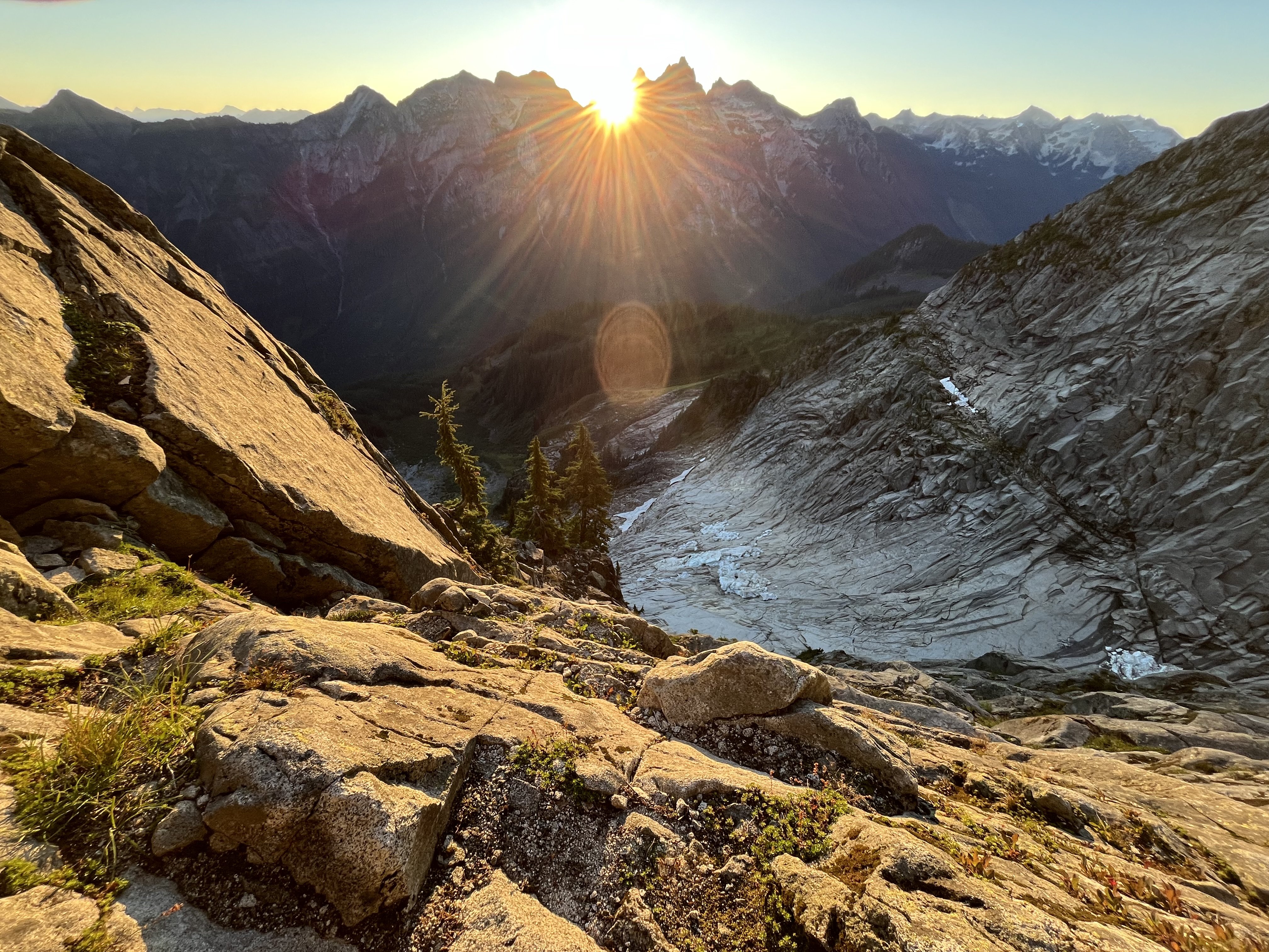
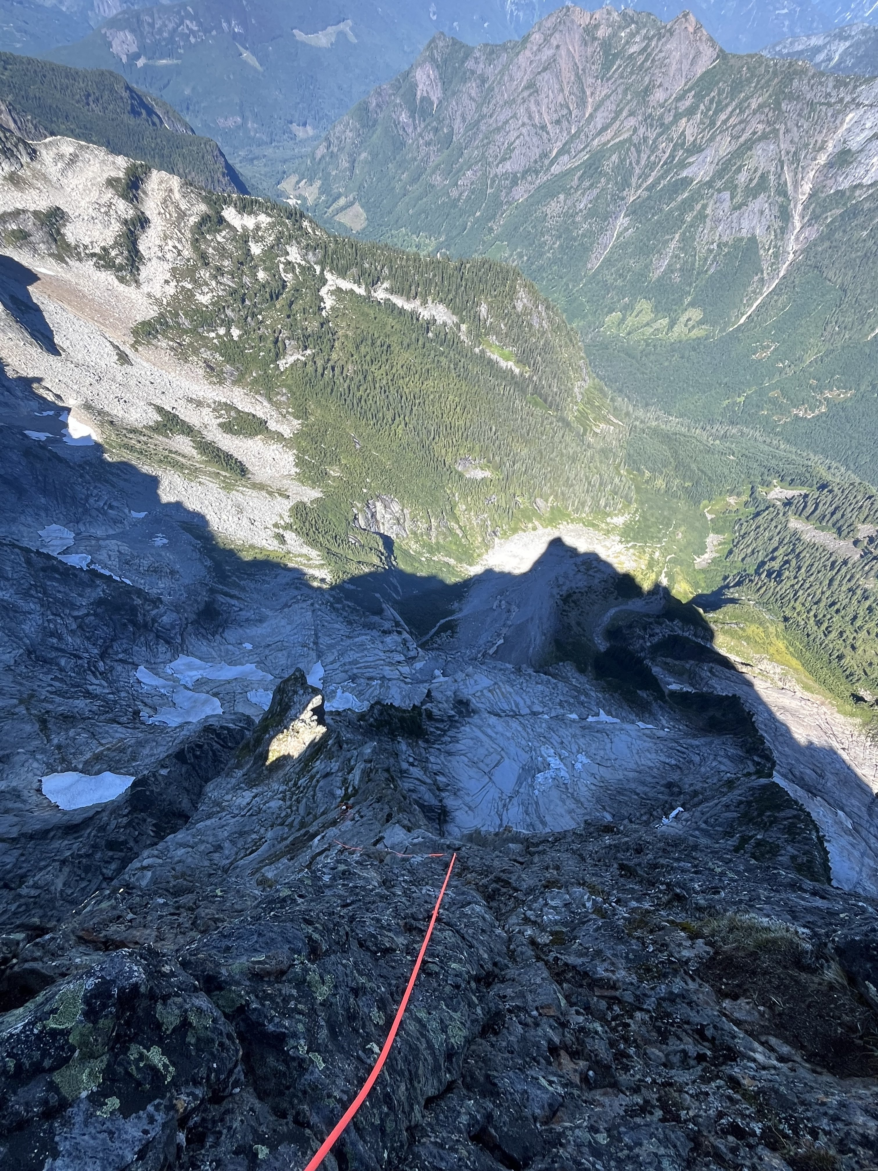
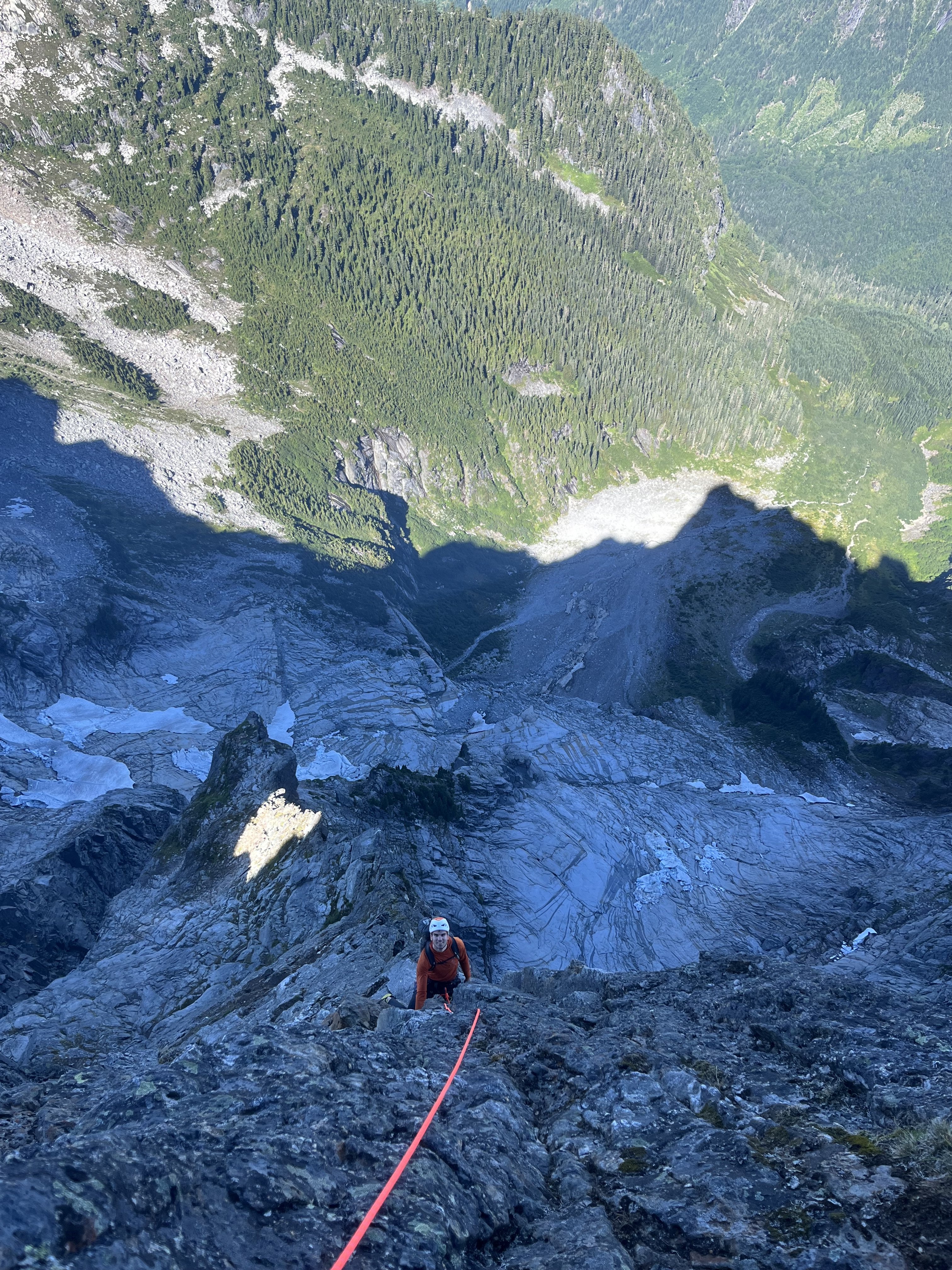
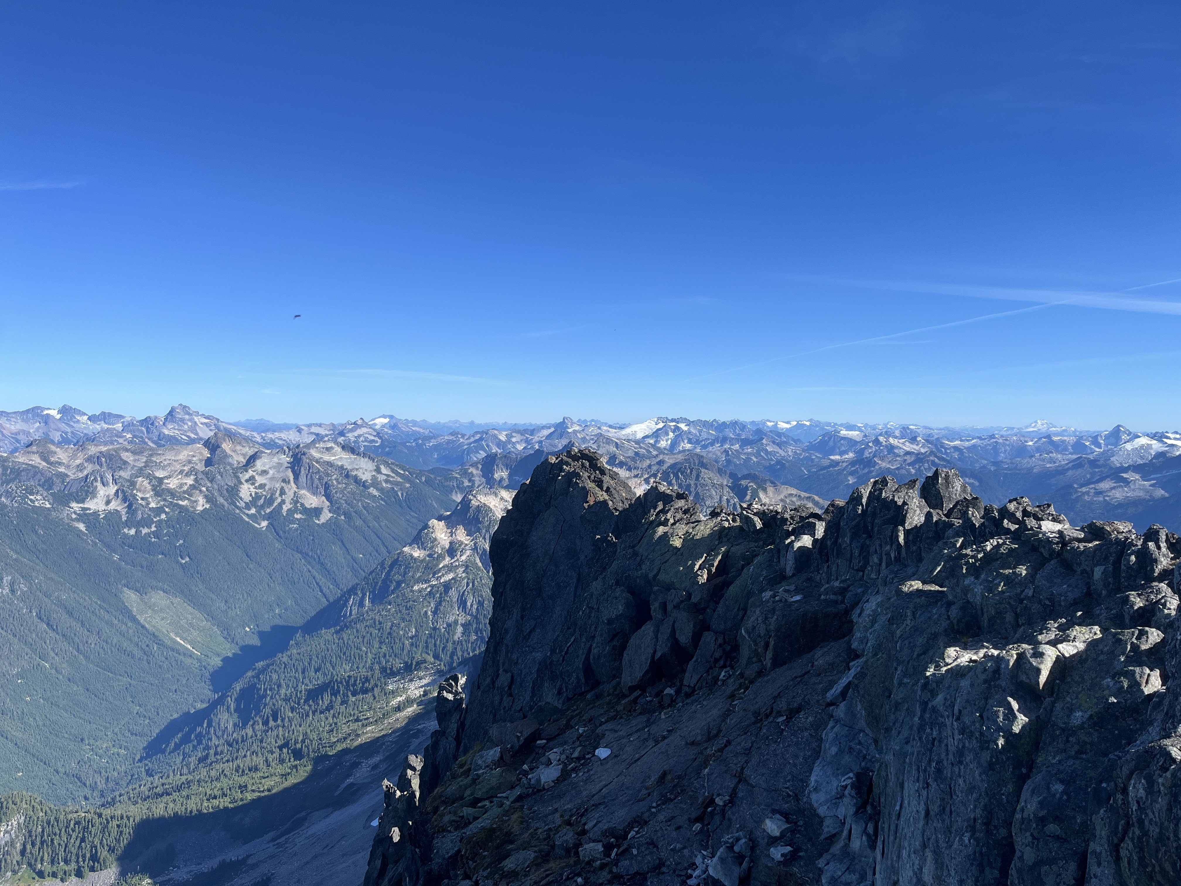
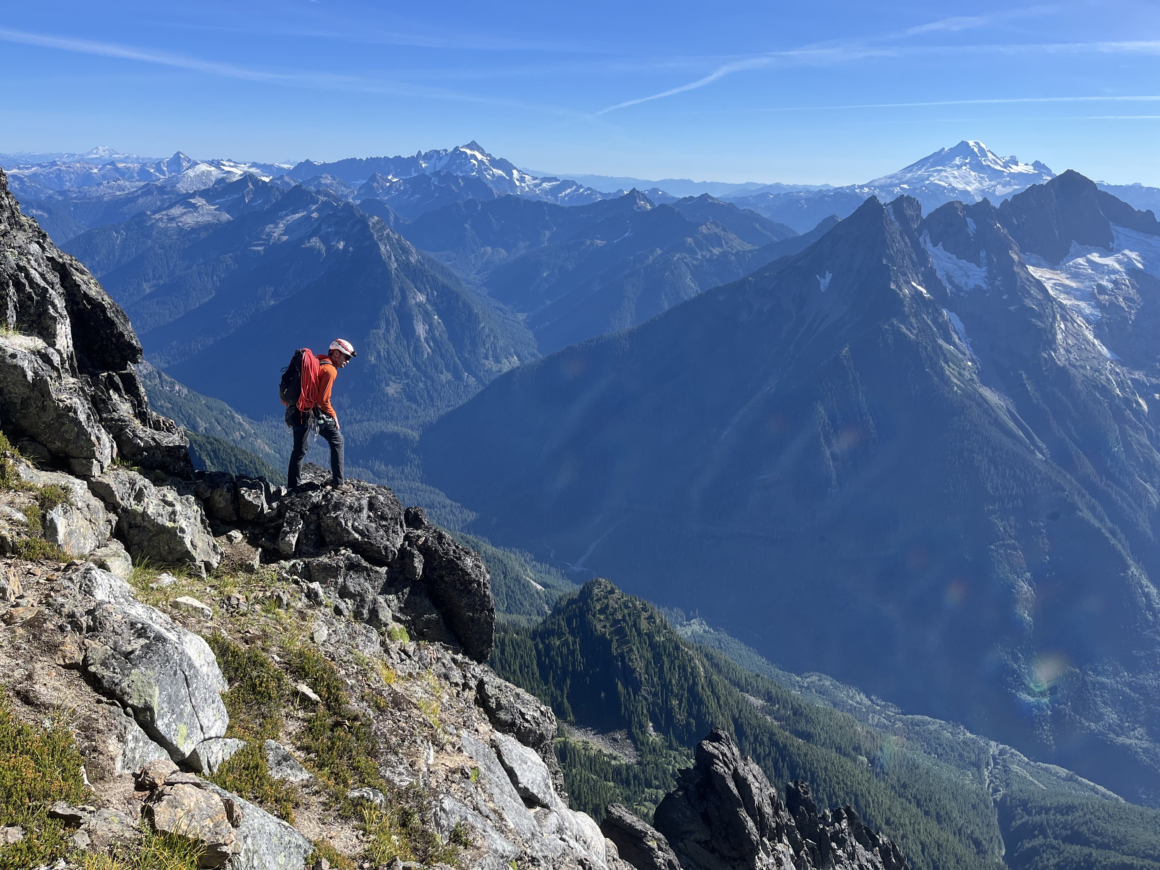
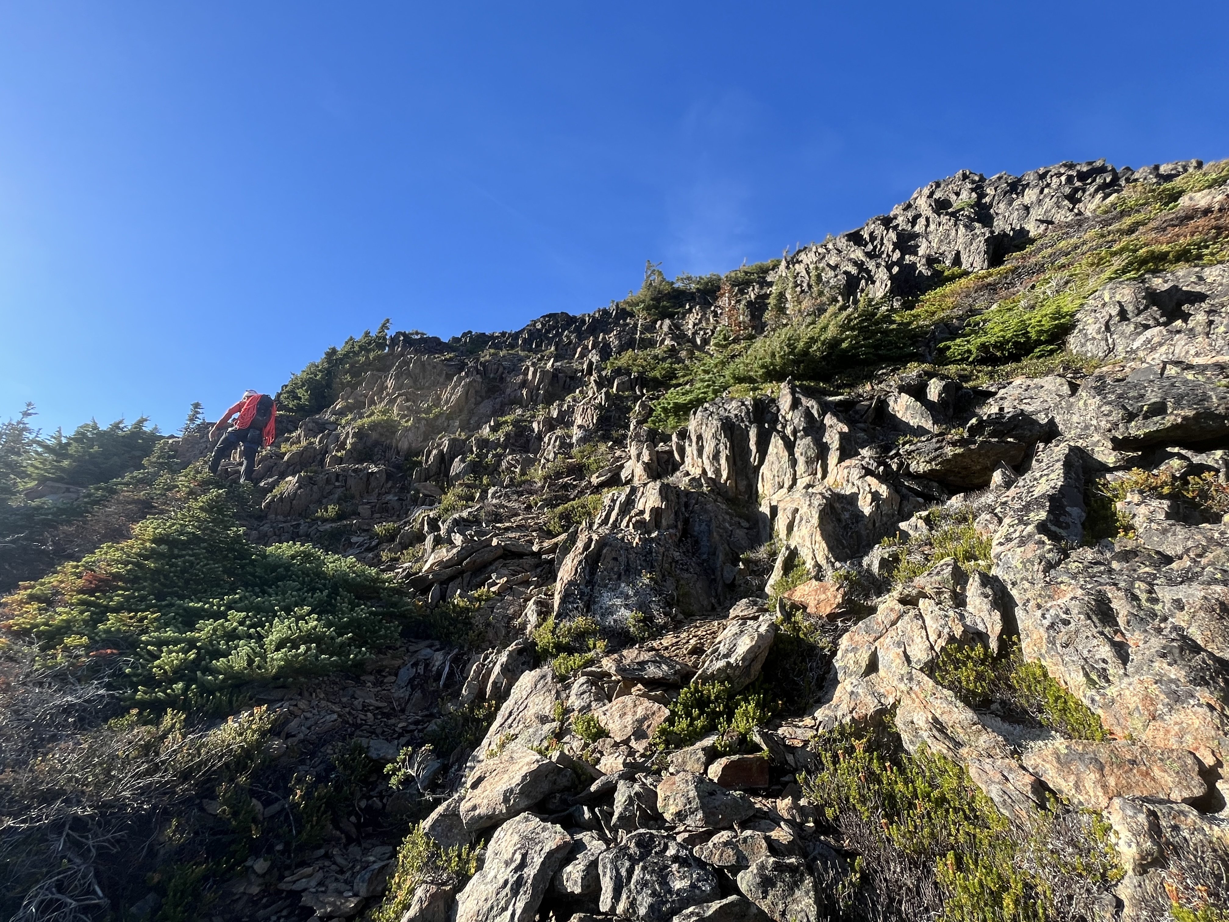
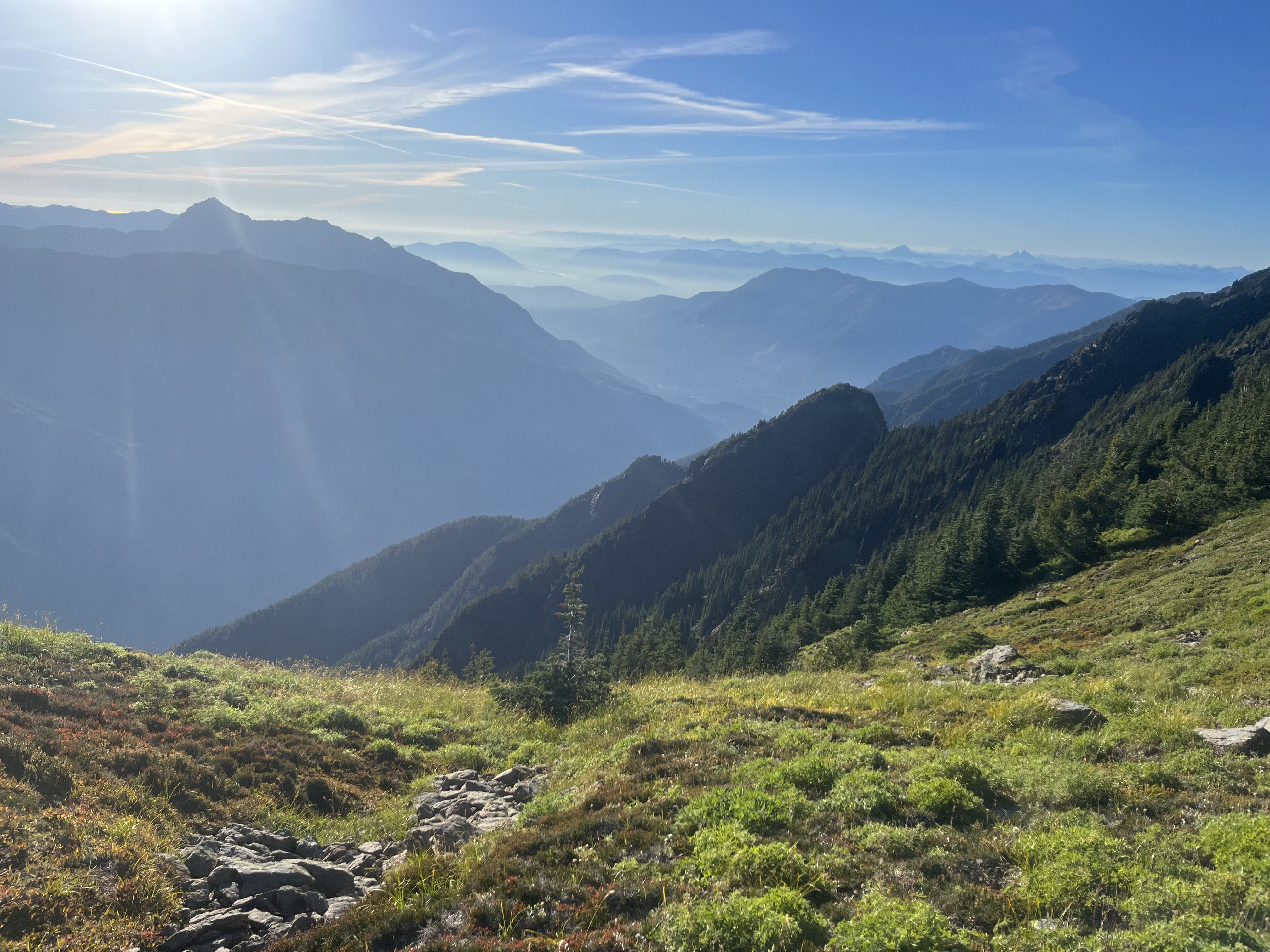
Trip: Fortress and Helmet Butte - Standard Trip Date: 07/28/2024 Trip Report: I have fallen woefully behind on TRs this summer, not exactly sure what the deal is with that, but I am slowing trying to rectify things. In no particular order from the past few months, here is a short report on a trip I did with my brother @ZakG about a month ago to Helmet Butte and Fortress. Now that I am firmly in my mature mountaineer phase I am oh so slowly working my way through the Bulger list. I say slowly because I think I climbed my first Bulger (Cashmere?) in 1994 or so. I hope to be done before I die, but it might take another decade at the pace I am going. Anyways, I digress, first world problems. @ZakG arrived at Trinity on a beautiful Saturday to a half empty lot and no people milling about. A good sign and indicative of what we would see that weekend....which was nobody. I am not sure if I have hiked more than 20 miles on maintained trails, on a weekend, and not seen another party, but that was what we experienced. I hope this is going to be more common! A few miles up the Buck Creek trail we knew there would be a bridge out over the Chiwawa, but there is a good log that trail crews dropped across the creek Shortly thereafter we were treated to awe inspiring views of Buck's north face, yet another Bulger I haven't gotten to: This section of trail is burned for several miles and there were quite a few logs across the trail that we had to work around. Still, the combination of fireweed and snags made it scenic. After about 9 miles and some on the excellent Buck Creek trail, we veered north on a climber's path to Pass No Pass, which we reached in early afternoon. There was a flowing stream for water a few hundred vert below the pass and not another tent in sight anywhere. After dinner we went up Helmet Butte for the view and to take a look over at Fortress to pick out our route for the next day. The clouds were more stubborn than forecast, and there was smoke in the air from the Suiattle fires, but all of it added some drama to the skies and interest to the views. We couldn't see any tents down at Buck Creek Pass, nor any people. We awoke in a cloud the next day and opted to hang out in the tent for a bit to see if we could get some visibility. It didn't improve much, but we hadn't hiked all that way to not even try and so we slowly made our way up into the murk to see if we could get above it. And sure enough we did! Nothing quite like the feeling when you realize that you are going to have good views and the summit is within reach. See if you can spot @ZakG: @ZakG on the summit of Fortress with Clark behind: Looking toward Bonanza and Dark: Coming down: And then it was the usual, hurry down, pack up camp, slog out, swat flies in the heat, fish the beer out of the creek, eat some chips, change into glorious cotton, and merge into the masses on the highway heading back to town on a Sunday evening. And we wouldn't have it any other way. Gear Notes: Ice axe and crampons if there is snow, helmet. Approach Notes: Buck Creek trail from Trinity to climber's path to No Name Pass. Follow your nose from there to both Helmet Butte and Fortress2 points
-
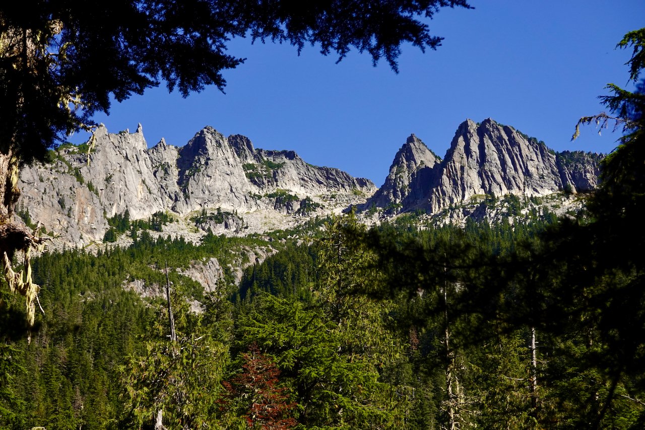
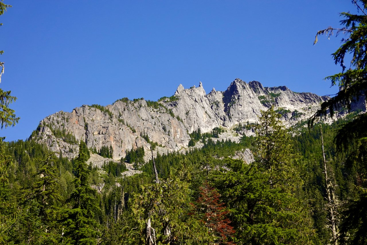
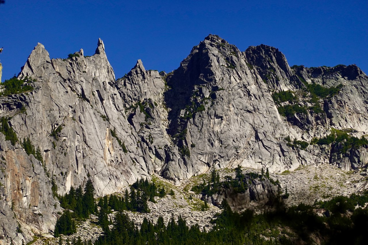
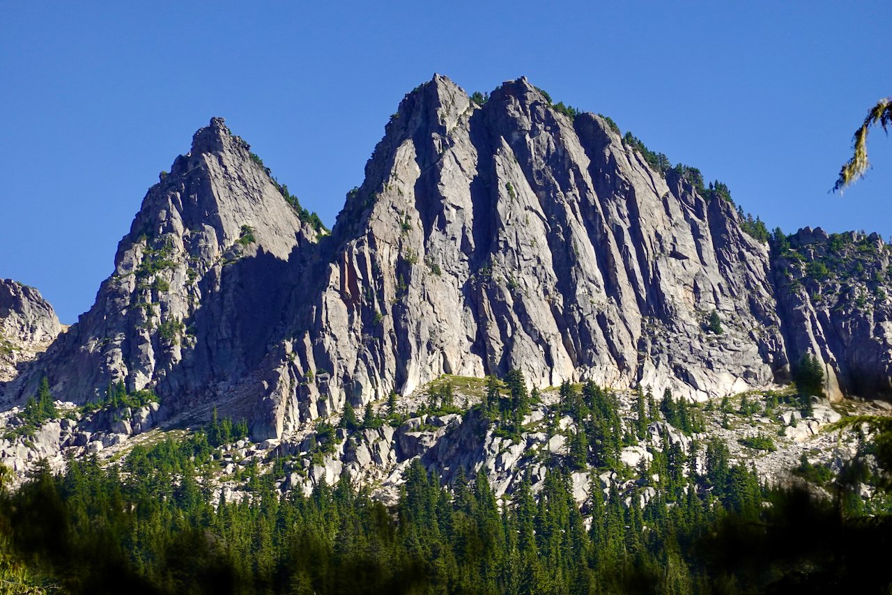
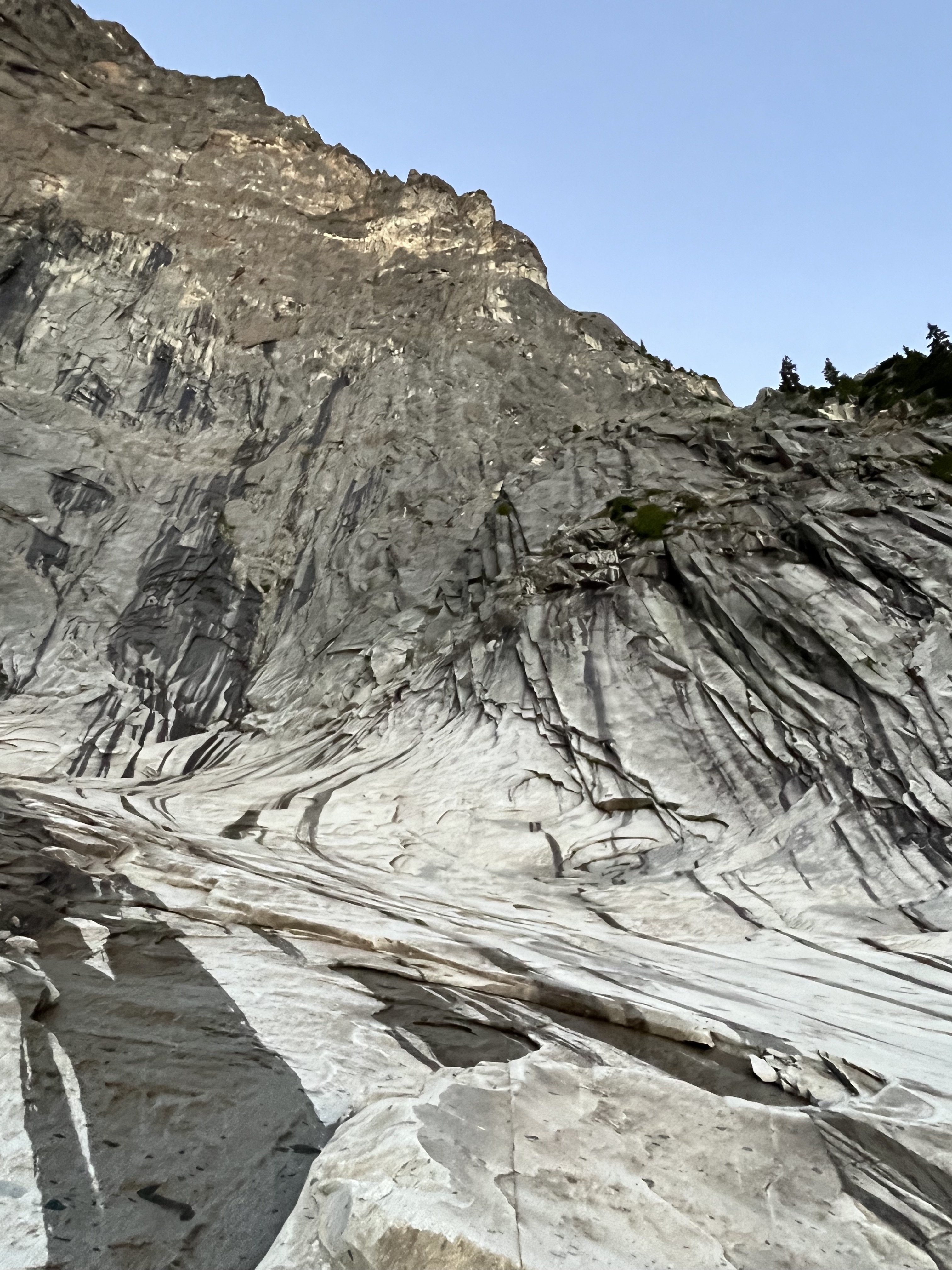
While Jason was probably out tagging summits, I hiked in to a few subalpine lakes with a friend who is even older and more out of shape than me. I had hoped we might get up into the rocky heights, but that was not to be. I did bring back pictures of some accessible Sweet Renton Snoqualmie Granite that to my (limited) knowledge has not been climbed. You could call this Dingford Creek Wall. To get to it, drive past der Garfieldwand to the Dingford Creek trailhead at 1400' elevation. Hike about 5 miles to Myrtle Lake at 3777', cross the outlet creek and ascend another 1200' in less than a mile to Big Snow and Snowflake Lakes. From there drop several hundred feet and contour around the toe of this buttress. This might require powering through some dense evergreen forests. But wow. It also looks like after topping out that you could just about walk back to camp which is a real bonus. And I hear there are fish in those lakes. Have Fun!!1 point
-
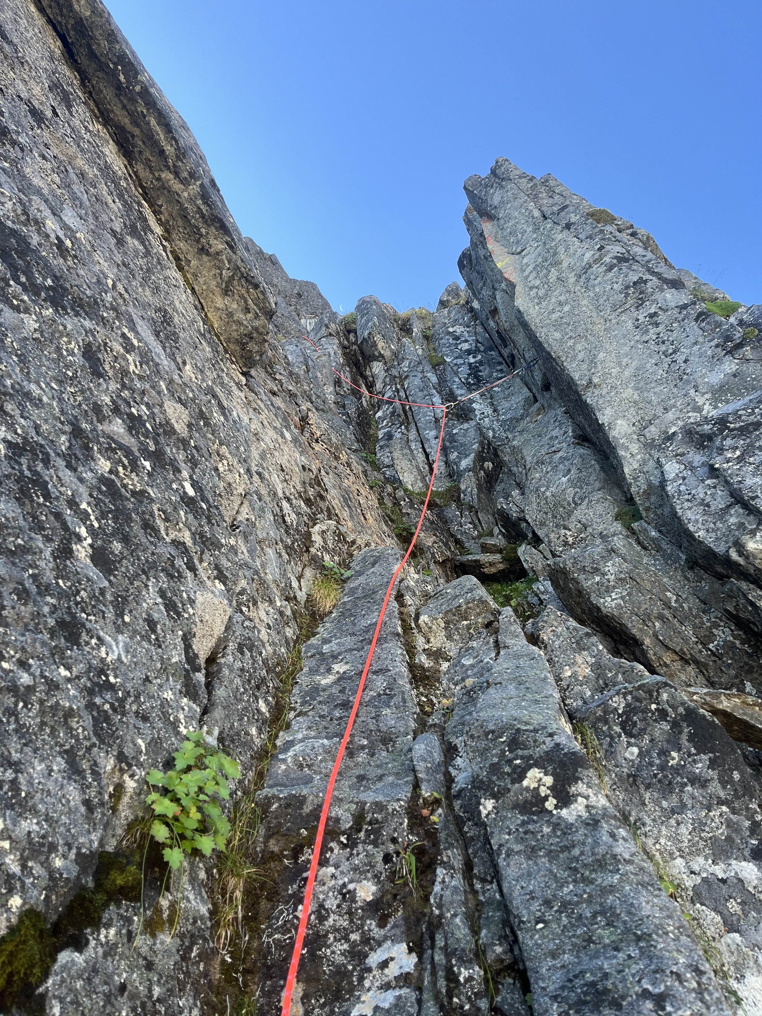
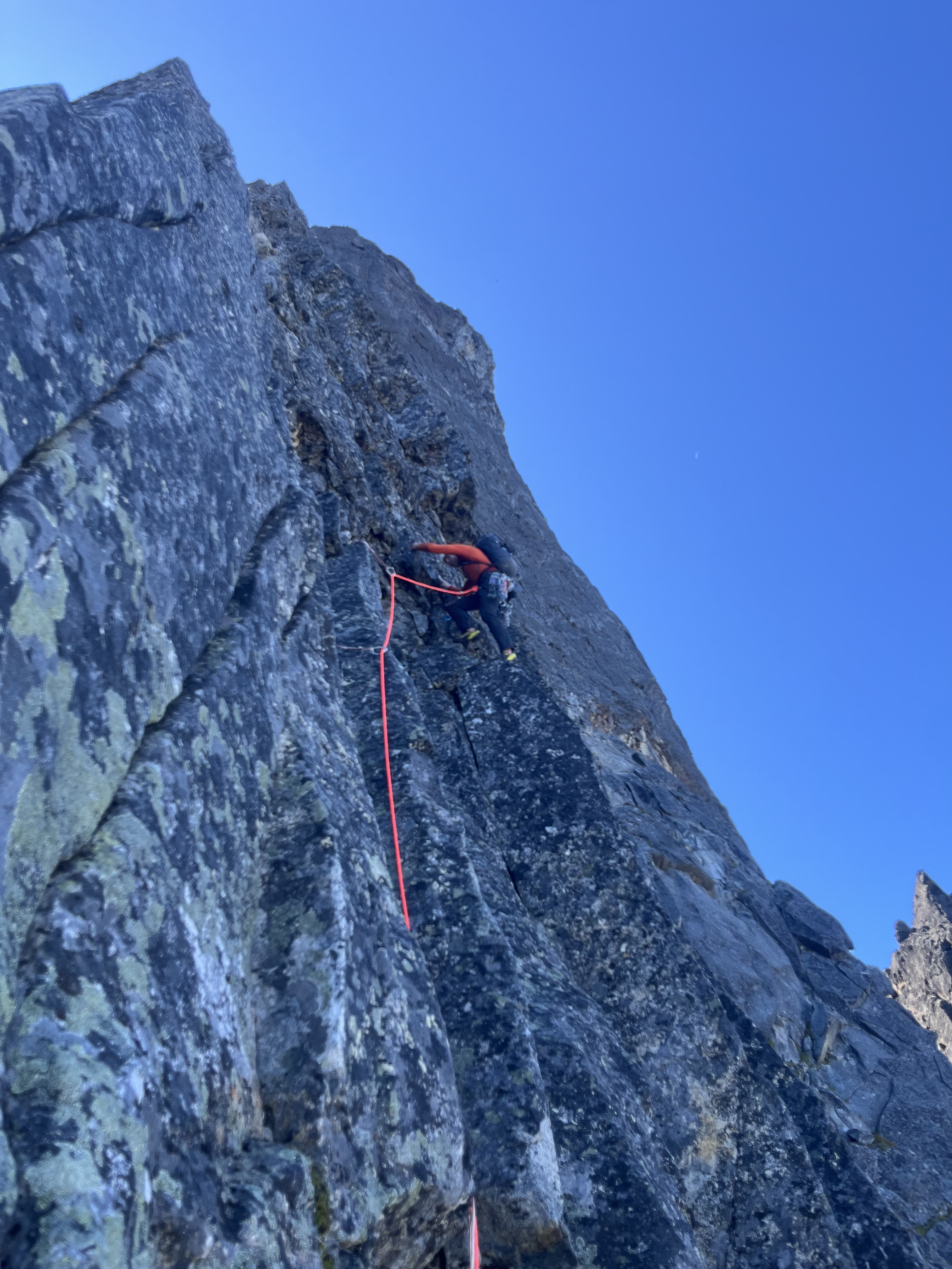
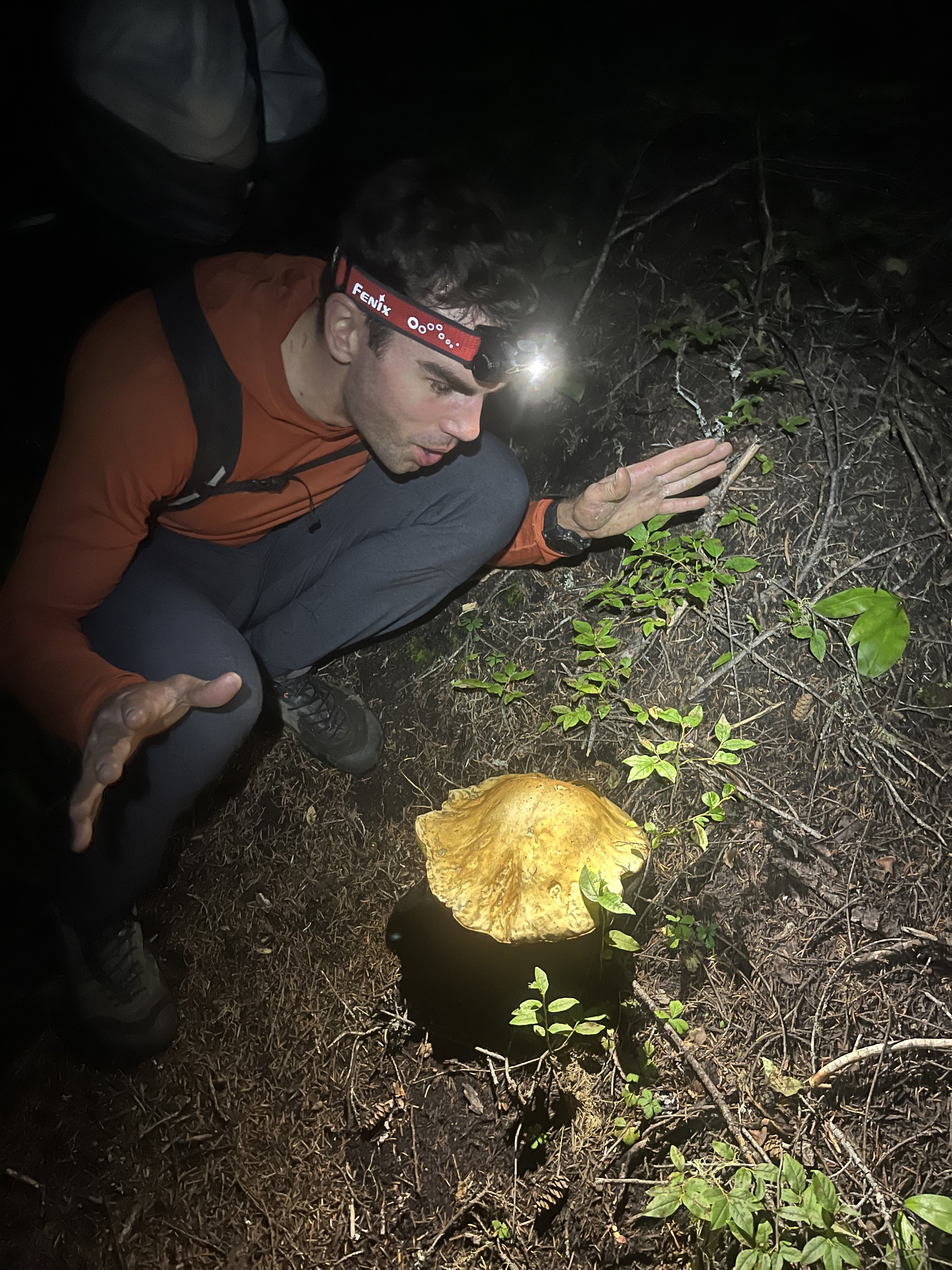
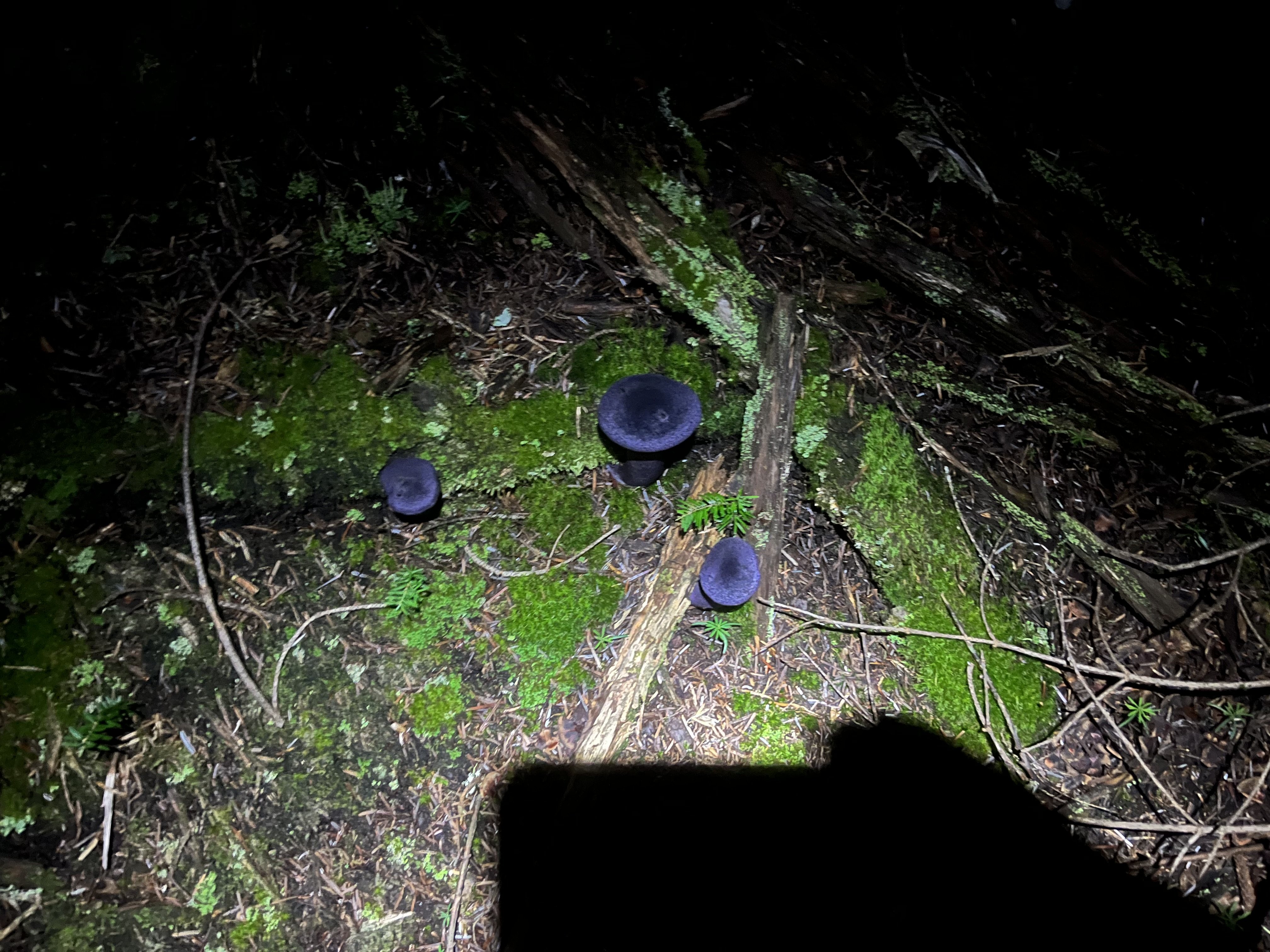
Haven’t seen many TRs here for this route in the last few years, so I’ll chip in. Hitting the trail at 3am worked well for us (after heading down the spur to nowhere for a few minutes before correcting course). This time of year that meant arriving at the propeller cairn just in time for the darkness to begin lifting for the scramble down to the slabs. We filled up before that scramble (4L for my partner, 3.5L for me) but could have done so a little later. There was plenty flowing from ice blocks on the shelf at the end of the slabs right before you gain the ridge. We also ended up finishing the technical part of the day just before dark. Along with all the water and a little extra food we had enough stuff to ride out a bivy if needed, but intended on a c2c. We planned to simul most of the route but ended up pitching out almost all but the section of 4th above the largest bivy ledge. Including that simul block I think it was 14 pitches for us: 3 to the notch where we opted for the bypass, 3 along the bypass, 1 to gain the bivy ledge, 1 simul on the 4th class stretch, and 6 pitches up the final headwall to the summit. From where we began pitching it out it took 9.5 hours to the summit. It had rained a lot (maybe even snowed according to some forecasts) two day prior. Before the climb I had worried about this but it wasn’t terrible. It was slick enough in spots to discourage us from simuling, especially in the mossy bypass section. The climbing on this route is super fun. The rock quality is never great, but it’s usually plenty good. Finger locks and hand jams galore, interspersed with interesting face climbing too. In some of the dirtier sections there are little solid rock islands (often polished white) in the choss that lead the way, keeping the difficulty lower than you’d expect from a glance. We each had a couple minor slips on wet sections but no holds broke the entire climb. We roped up at around 5900’, expecting to simul. But my partner led into a tricky traverse so we pitched this one out to a ledge. From there, slabby moves to the left looked just a little too committing and devoid of pro, and I found a fun blocky way to the right, stopping at a slung tree. From here my partner led us to the junction with the bypass (there might have been a little simuling on that pitch). After one lead in the mossy damp bypass my partner declared his distaste for it and so I led two more pitches to join back to the crest (the second of which was 4th class, I didn’t bother with pro). At this point our beta mentioned a 5.8 layback, but I didn’t see any reason to climb it that way. It was more like 5.7 with fist on right and stemming and positive holds on left. The only real difficulty was some wet rock, but the feet were secure so it was good. Almost new moon shot, zoom in. Somewhere in the bypass section. The big bivy ledge was one of only two times we were in the sun during the ascent, aside from the first couple pitches gaining the ridge. I led up the fun scramble to the next sunny bivy ledge, below the final headwall. It seemed like our pace was reasonable enough to this point, but the summit looked quite a ways off from here. Just left of the crest a left facing corner fist crack on granite looked like an inviting start but the beta described starting right of the crest so that’s what we did instead. Starting up the final headwall. Rock was generally good going up the headwall, with lots of finger, hand, and face climbing as mentioned earlier. I took the second pitch. My partner led the third pitch (5.9) which was the crux and the best climbing on the route. As an extra bonus, the crux was the wettest spot on the route. Fun traverse right on steep rock that looks harder than it is. I led the fourth pitch, which might have been runner up funnest climbing. There was a delicate traverse through some of the more obviously loose choss on the route near the end of the pitch. The view from the top of this one down the ridge is pretty wild. Another party was finishing the 4th class section at this time but I didn’t see them again. Climbing on a Thursday worked great. No one else was at the trailhead when we arrived Wednesday night. My partner said there were two parties of 2 behind us. I imagine today (Saturday) it’s a lot more crowded. From here it was probably 5.6 maybe 5.7 to the summit. We could have simuled but were in the rhythm of swapping so kept that going for two more to the summit. Didn’t check out the final bypass to the left. Staying on the crest was fun and easy, I’d recommend it. The rock suddenly transitioned back to clean granite just before the summit, icing on the cake. Amid a big insect orgy on the summit we briefly savored the views of Jack’s Nohokomeen, Luna, Challenger and Shuksan. Baker, Larrabee, and the border peaks kept us company as we descended by a crazy prominent tower. Above a classic obvious gully I saw a trail heading down a slope and mindlessly charged toward it. Fortunately I lost only 200’ vertical before realizing this was the wrong way (carryover). Back up to the correct notch we did more traversing over variable terrain as the climb we just completed came in and out of view. The descent is really long and I wasn’t up to speed on the rockfall induced changes to the standard descent. Fortunately my partner had paid more attention in his research. After a couple of raps to Crossover pass he corrected me after I blew past the start of the crack of noon descent. There was yellow flagging marking the route, and bolted rap anchors all the way down. Trying to be efficient I down climbed in parallel with my partner rapping, occasionally joining onto the rap for damp and needly sections. Most of the route is less than 5th class. We touched down and packed up the climbing gear just in time for headlamp hour. I had a random gpx from a decade ago for reference. We headed down blocky talus which was fine enough. Gradually we reached a vegetated area. The track I had made a big diversion here. It was only about 300’ wide so I decided to just follow an approximately straight line here, thrashing as needed. My partner was unimpressed but it really wasn’t very long or so bad, plus there were berries With the groans, thrashing and berry munching we might have been mistaken in the dark for bears. Finally our reference track popped out on an obvious trail. We could have used a better reference. With all the flagging, blazes, and traffic, there’s got to be a much better way that we just couldn’t see. Once on the right trail we sailed down the increasingly dank trail. Saw some of the largest mushrooms I’ve ever encountered, plus some cool deep violet ones. We arrived back at the car a little over 20 hours after we left it. The trailhead still wasn’t crowded. Given the hour we opted to spend another night here. A couple years ago my partner and I climbed the north ridge of Stuart c2c, which took longer than this one, partly due to waiting out a squall on and after the 3rd pitch. That’s a useful baseline when contemplating long routes - seems long but hey, shorter than N ridge of Stuart, so let’s do it We agreed that Slesse NEB was a real good time and that we are probably satiated on epic days for the summer, though I might try to squeeze one more in.1 point
-
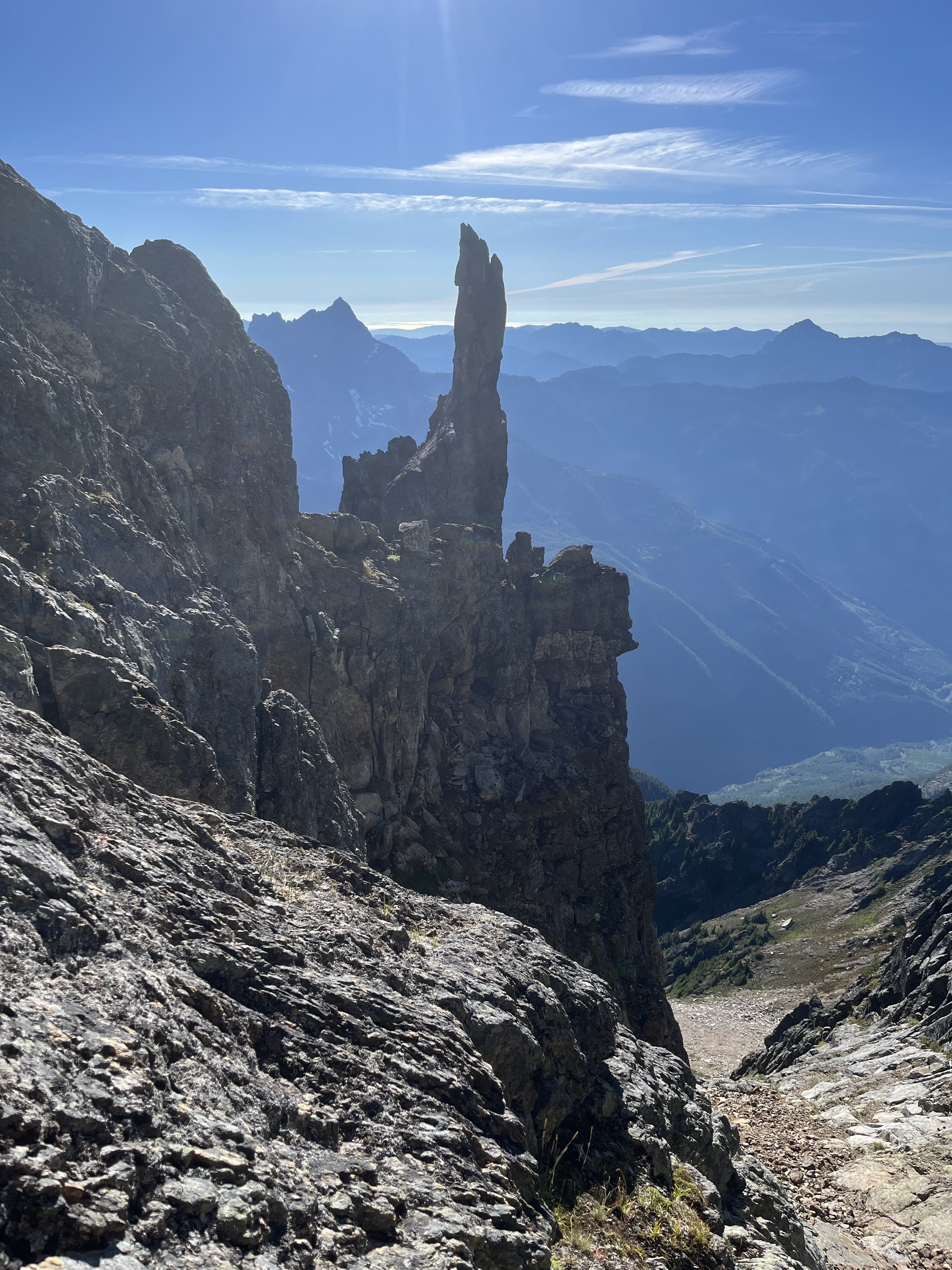
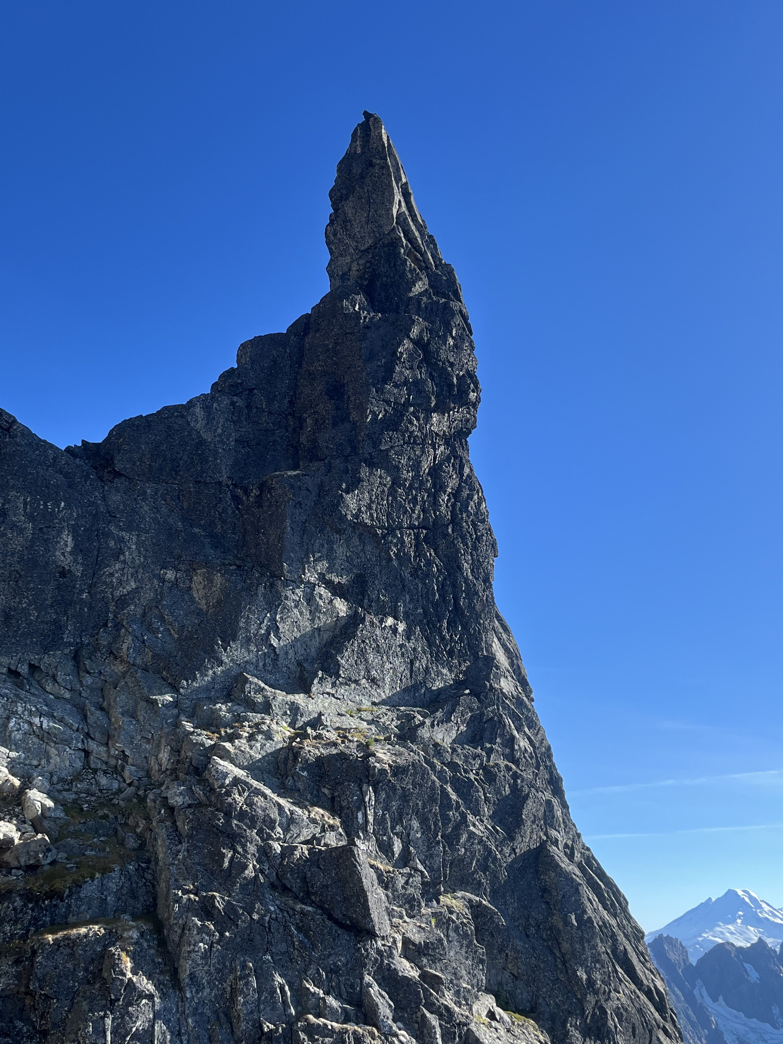
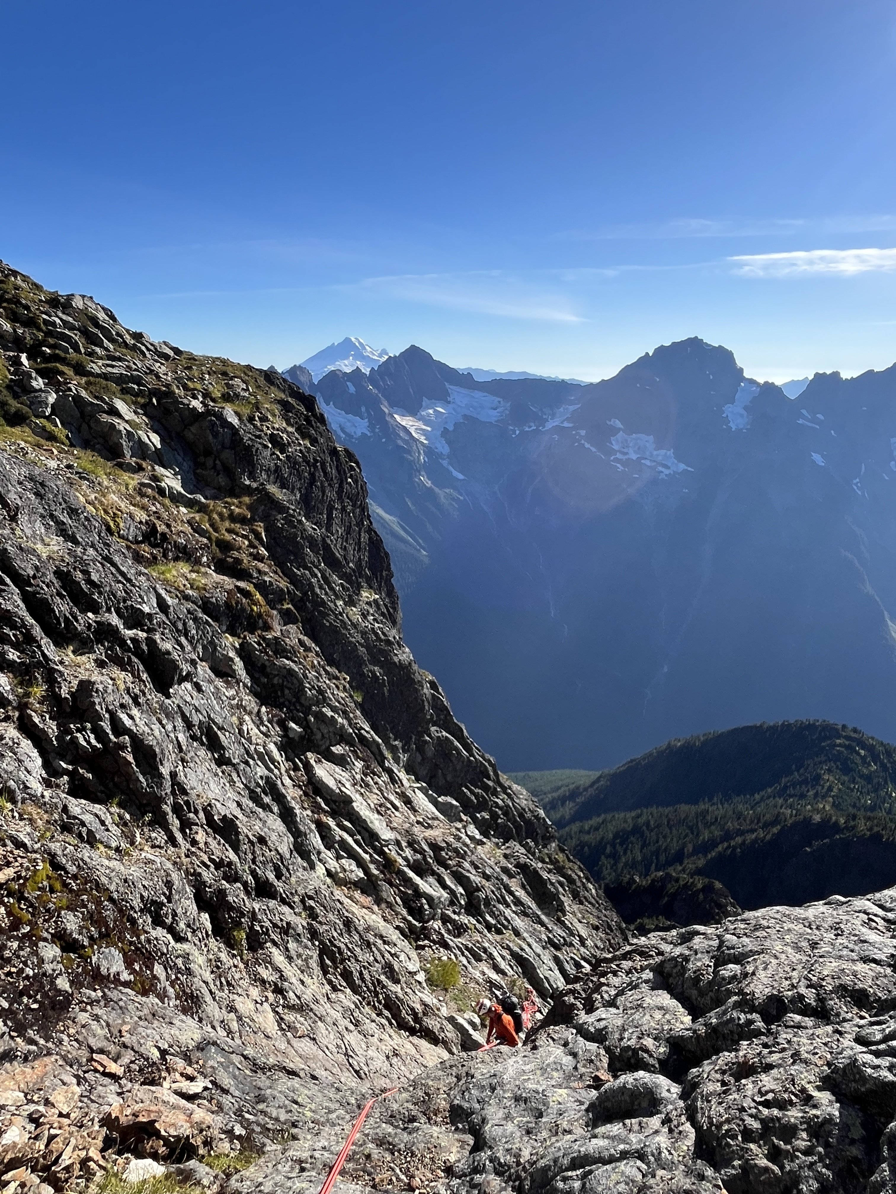
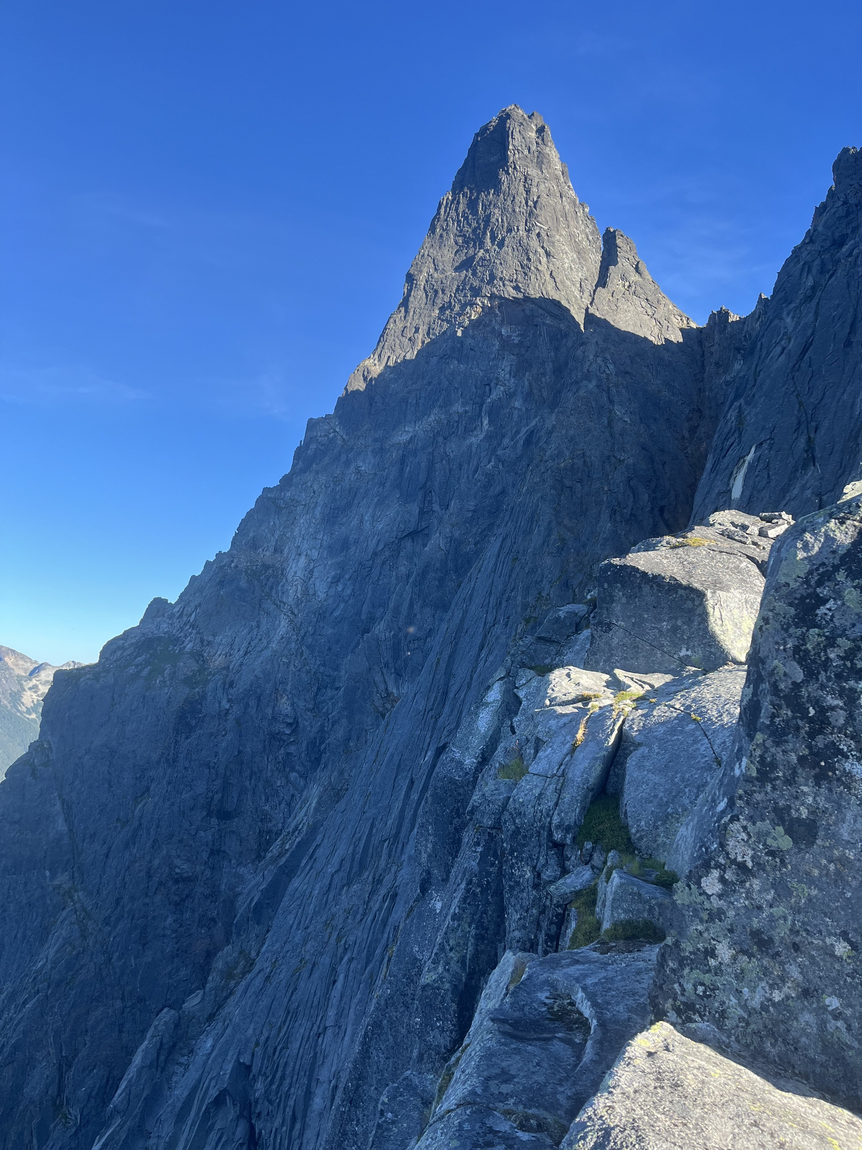
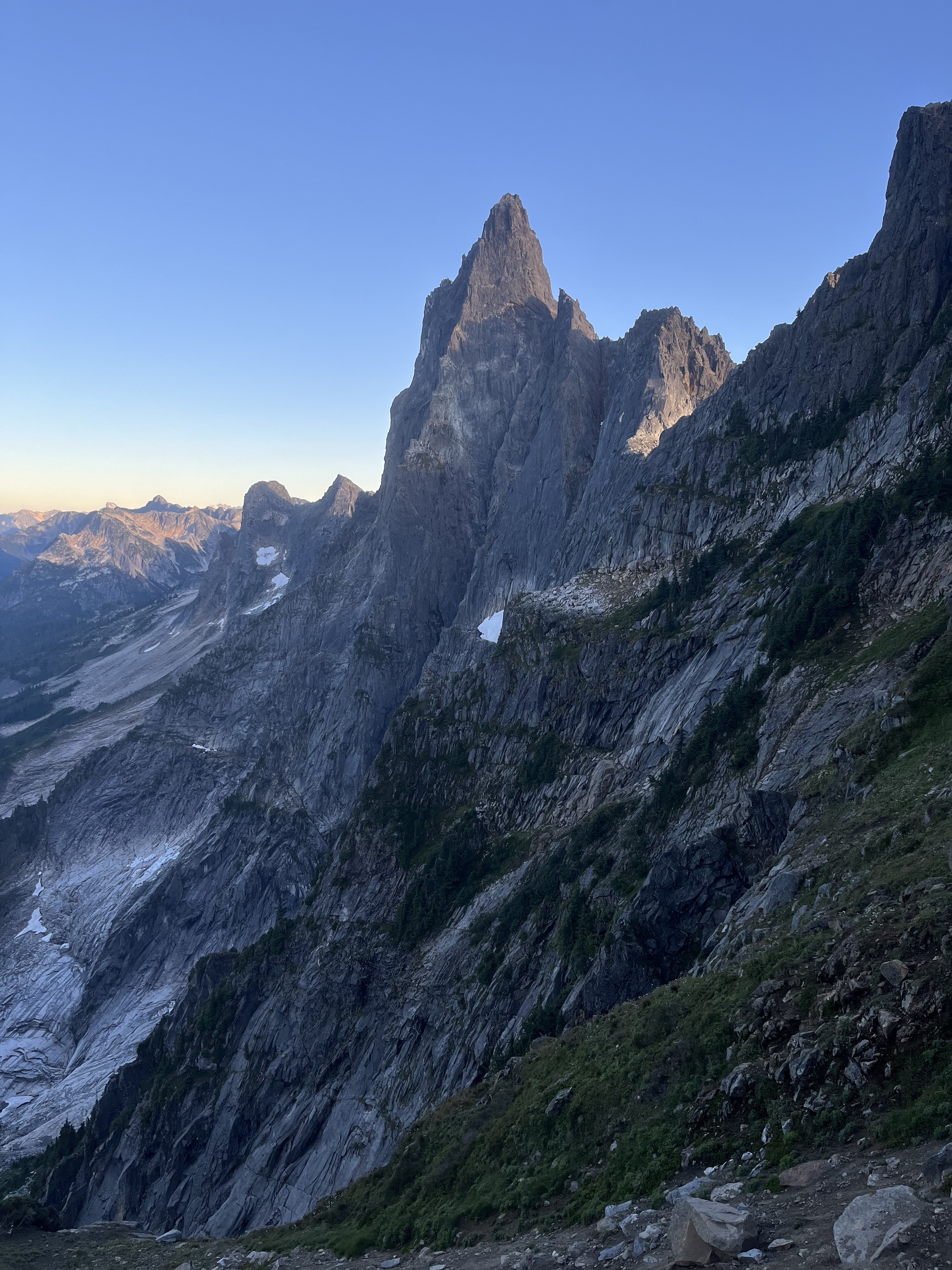
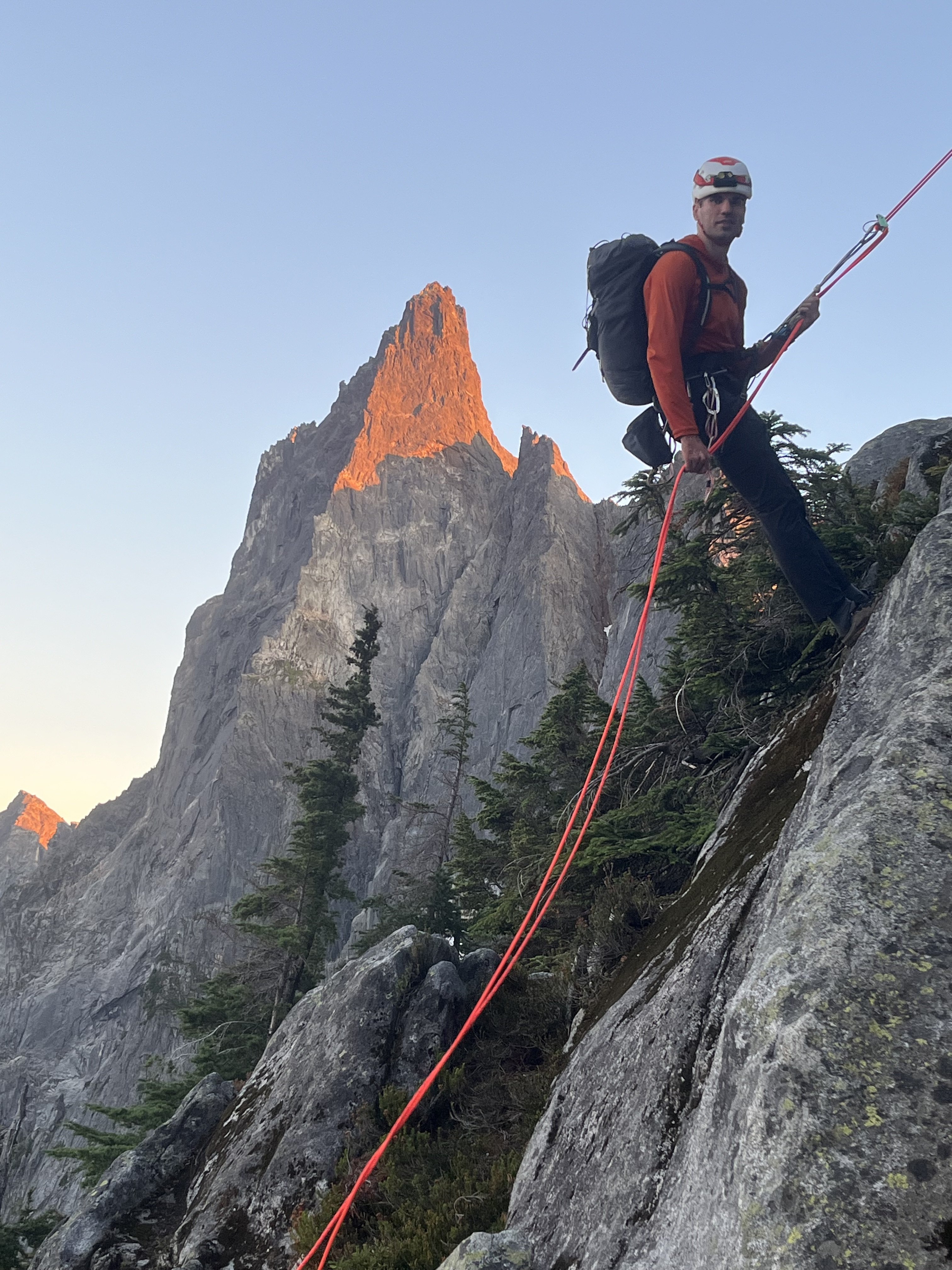
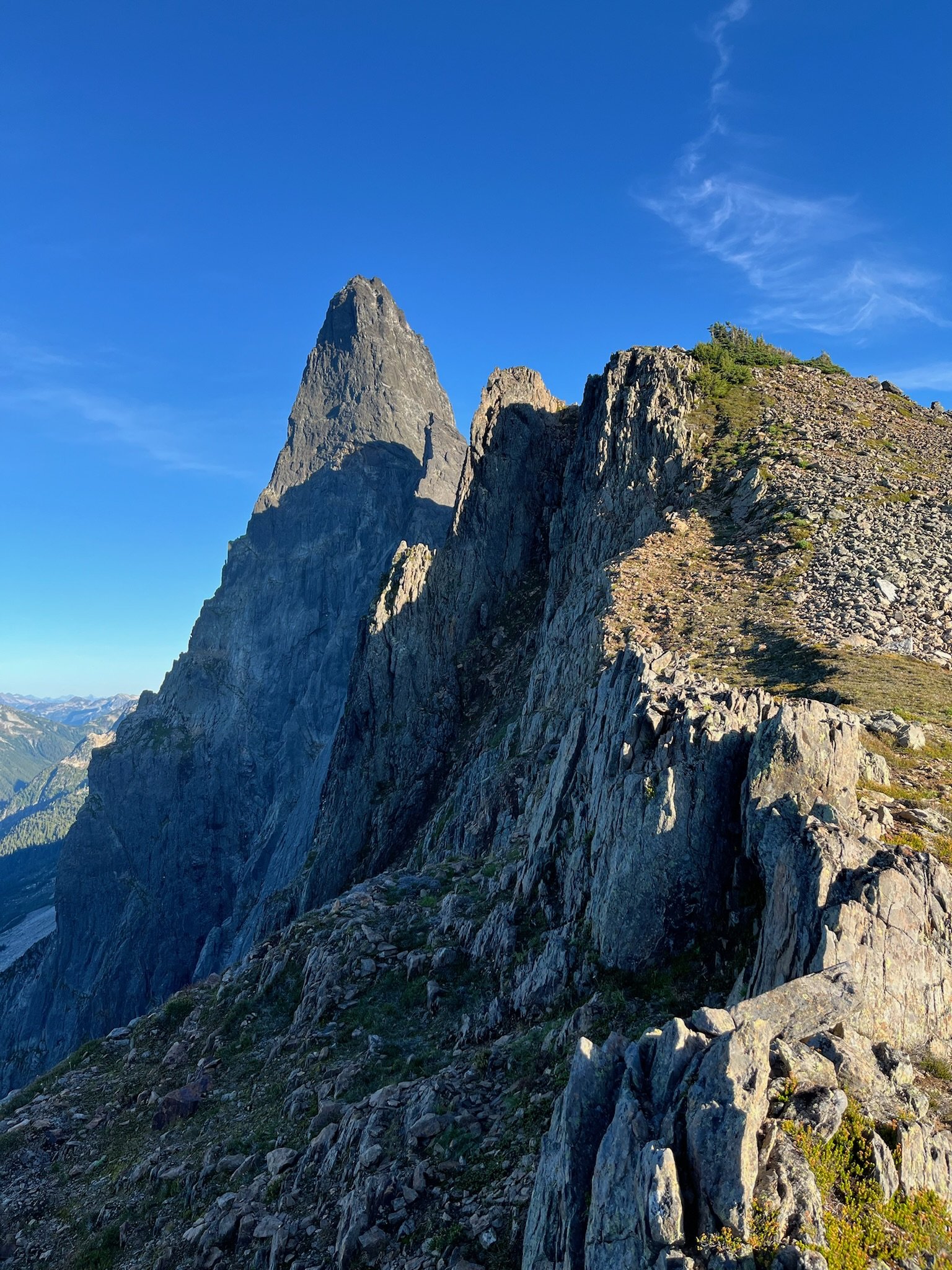
Trip: Mount Watson- West Peak - North Arete Trip Date: 07/16/2024 Trip Report: I want to thank @dberdinka for turning @Trent and myself on to this interesting and highly scenic climb on Mount Watson. I am sure I wouldn't have known about it otherwise and details on it are scarce. Actually details from @dberdinka were scarce too, but that's the way we like it. I knew how to get there and the rest would sort itself out, right? As expected, the approach to the north side of Watson was short and quick. It is a rather complex mountain with multiple summits and ridges, but we identified the only feature we felt @dberdinka would want to climb (a striking and clean buttress that sweeps up to the westerly summit), stepped off the snow, and did some solid scrambling to a ledge. @Trent took the first lead on easy fifth and slightly runout sold slabby rock to a wide ledge. I took the next lead up the steepening buttress, wandering to the right side to find gear and stretching the rope a full 60m to find some cracks I could garden for gear. Fun climbing to mid fifth on generally sound and slabby rock. This brought us to the slightly lower west summit of Watson. But, like many obscure routes in the North Cascades it isn't a gimme and we chuckled as we scratched our heads on the west summit for an "easy" way off. Ultimately, we did some very exposed scrambling down towards the col with the true summit. The col was a gash, and we did a short rap into it off of a block slung with cord. We changed back into boots and did some brush bashing and branch aiding to the true summit. Looking back at the route and West summit of Watson, we could see why @dberdinka had recommended it (it was fun too). Look at it! You can walk off the true summit of Watson and a bit of snow travel brings you around and down to the climber's path and the Anderson/Watson trail. A fun and short day out in the North Cascades! Gear Notes: Ice axe, crampons, light rack to 3". 60m rope was handy to reach ledges. Rock shoes are nice for the slabby rock Approach Notes: Anderson/Watson trail to climber's path that heads to Watson (or the Bacon Hagan Blum traverse). Find the obvious buttress on the west peak of Watson and step off the snow.1 point


