Leaderboard
Popular Content
Showing content with the highest reputation on 06/26/24 in all areas
-
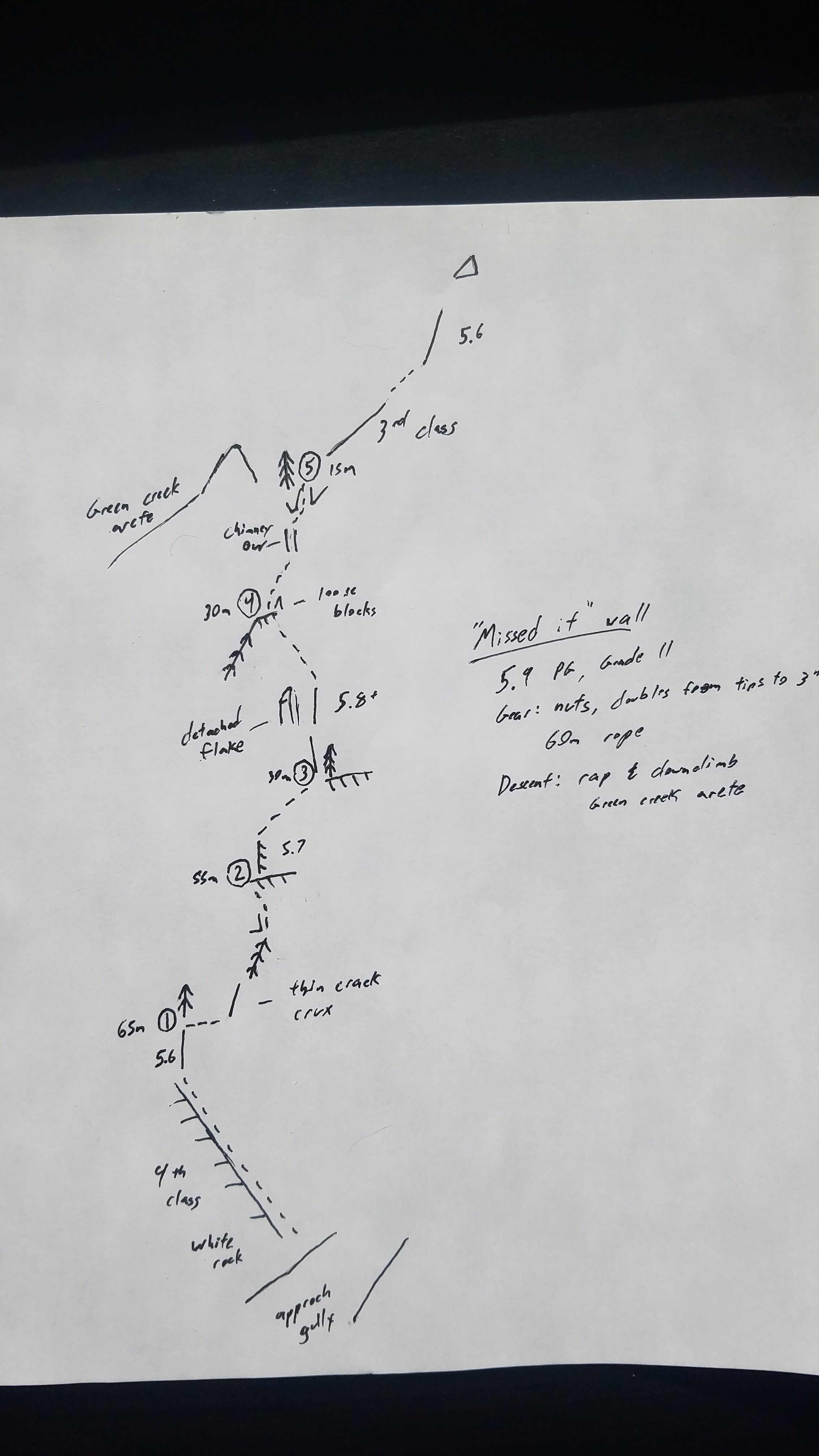
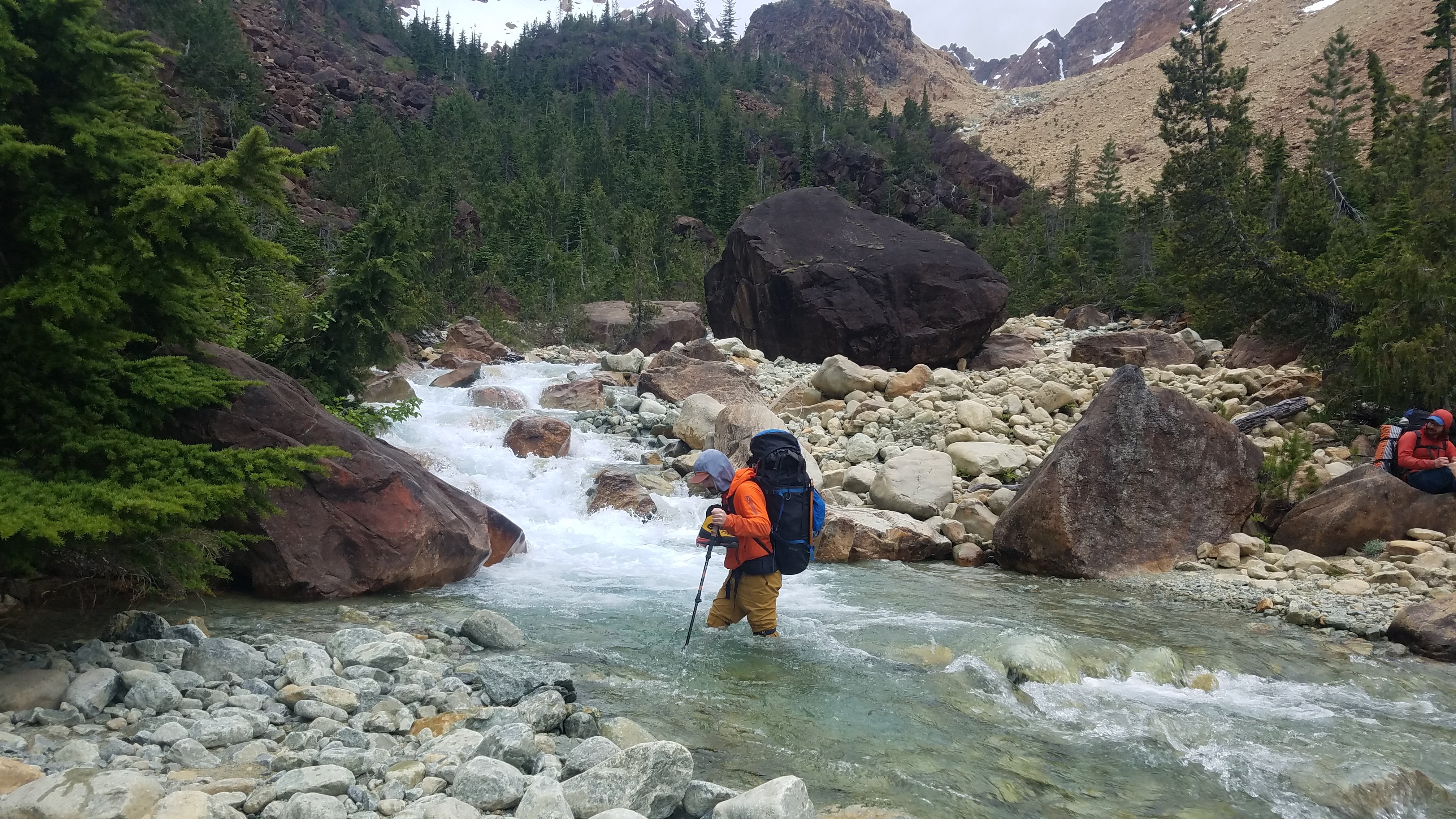
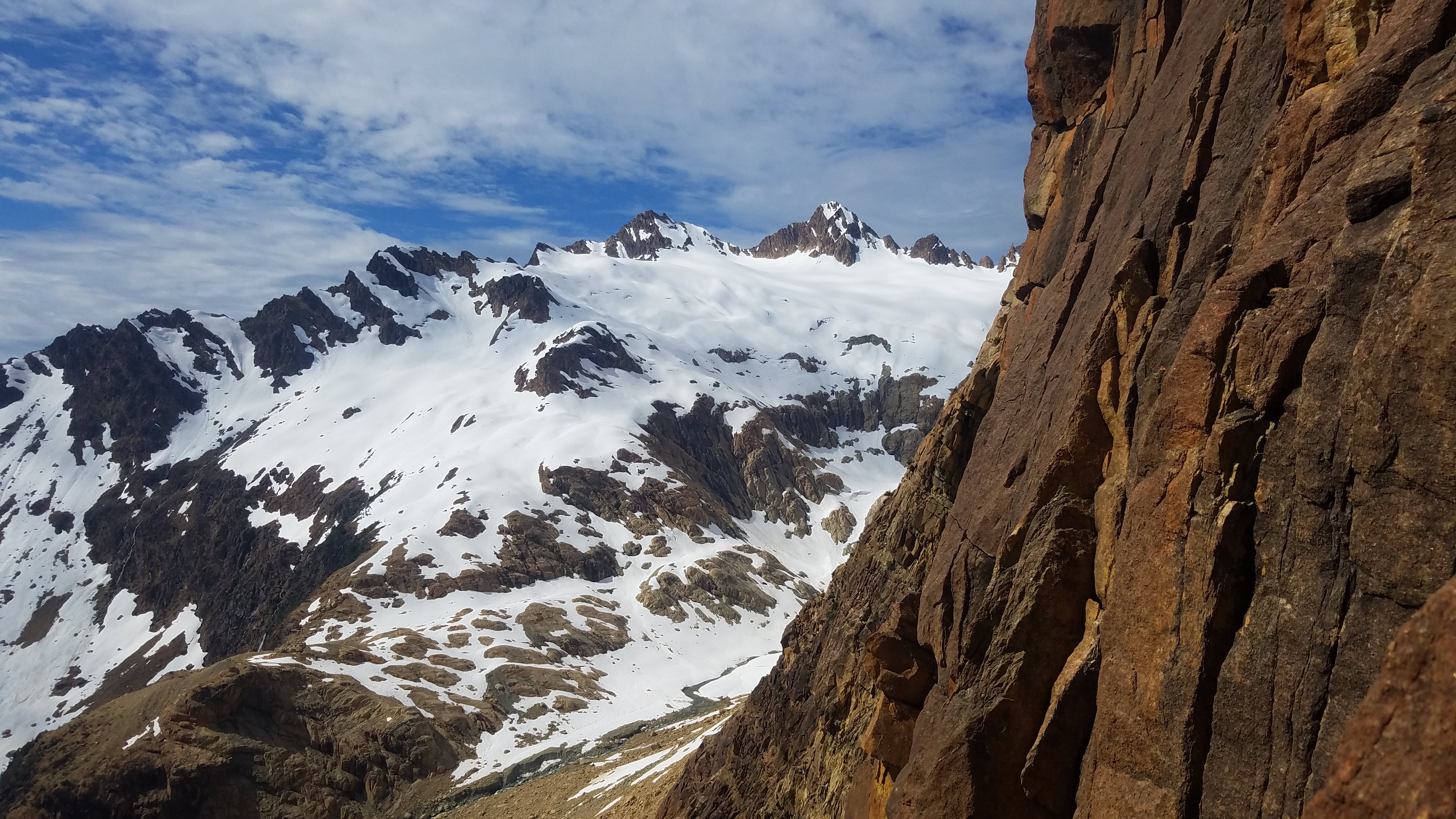
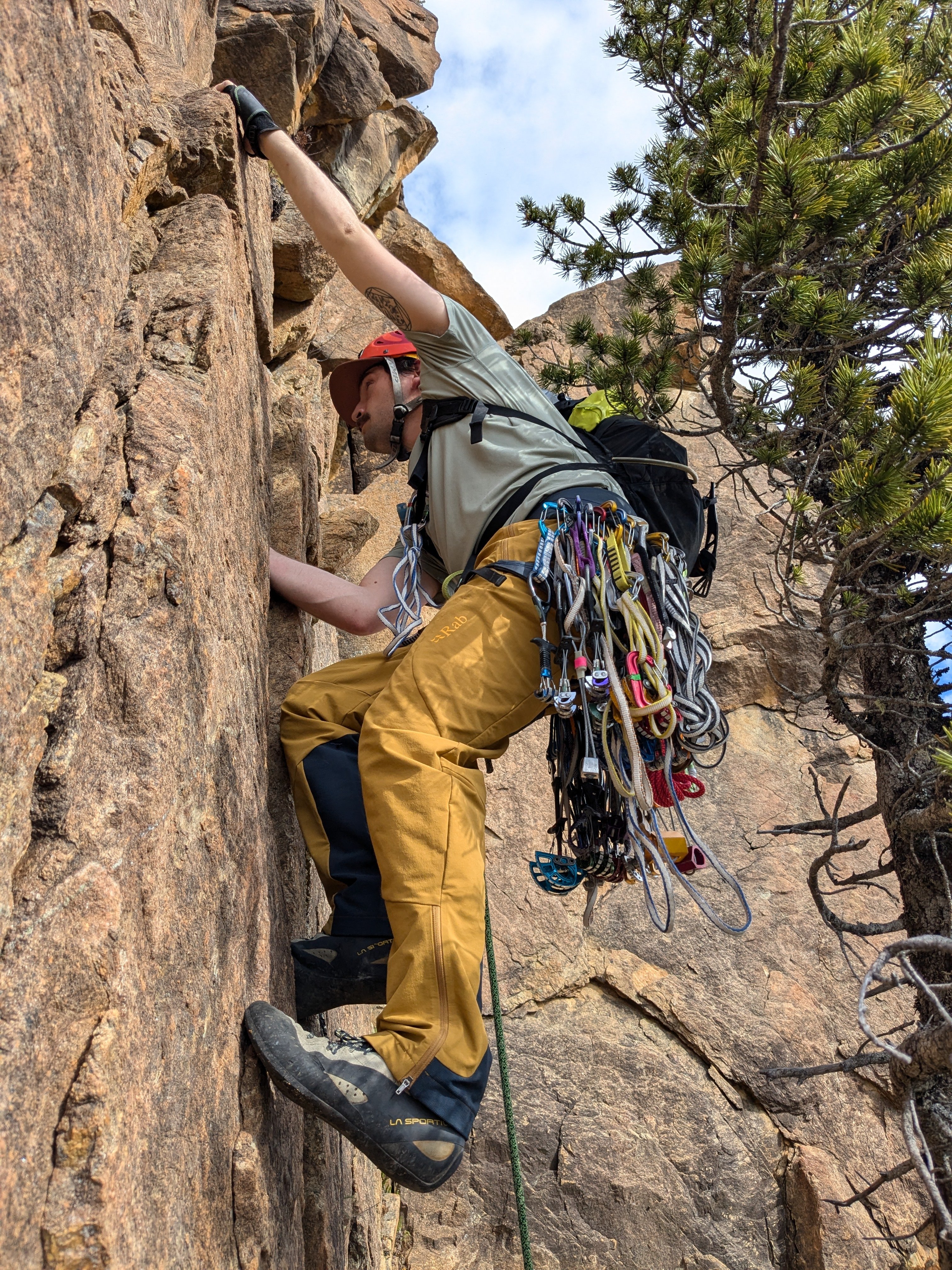
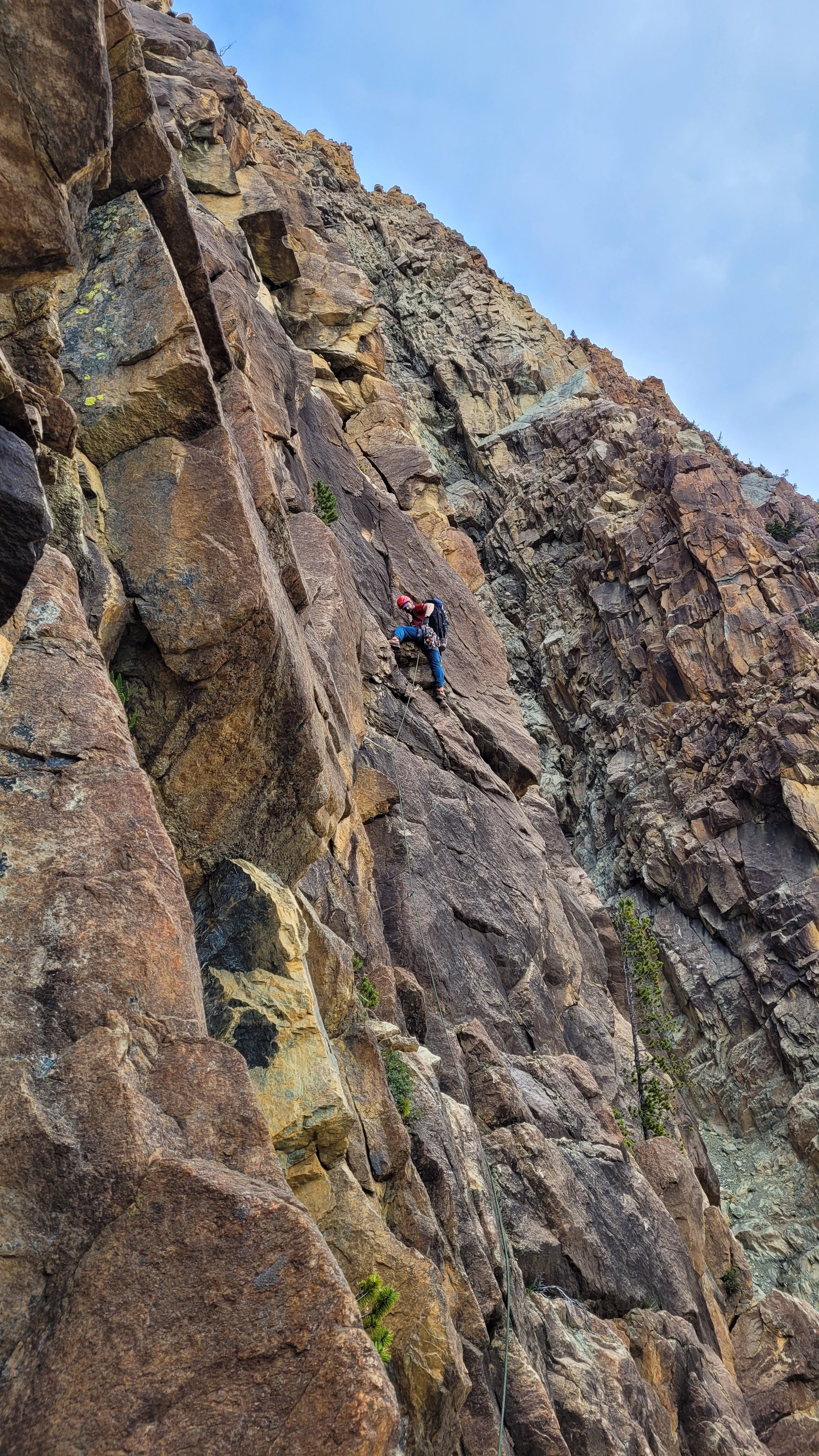
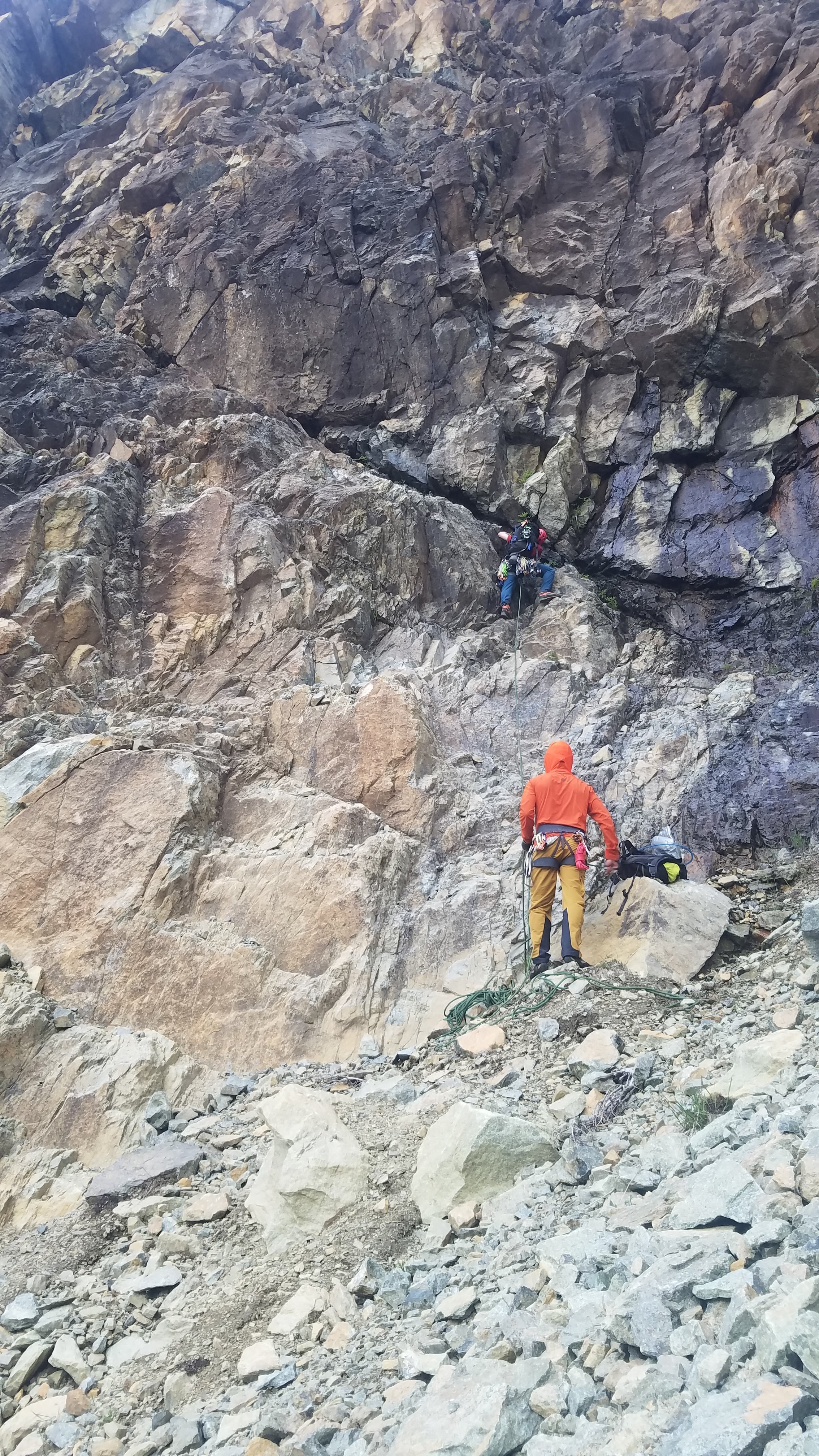
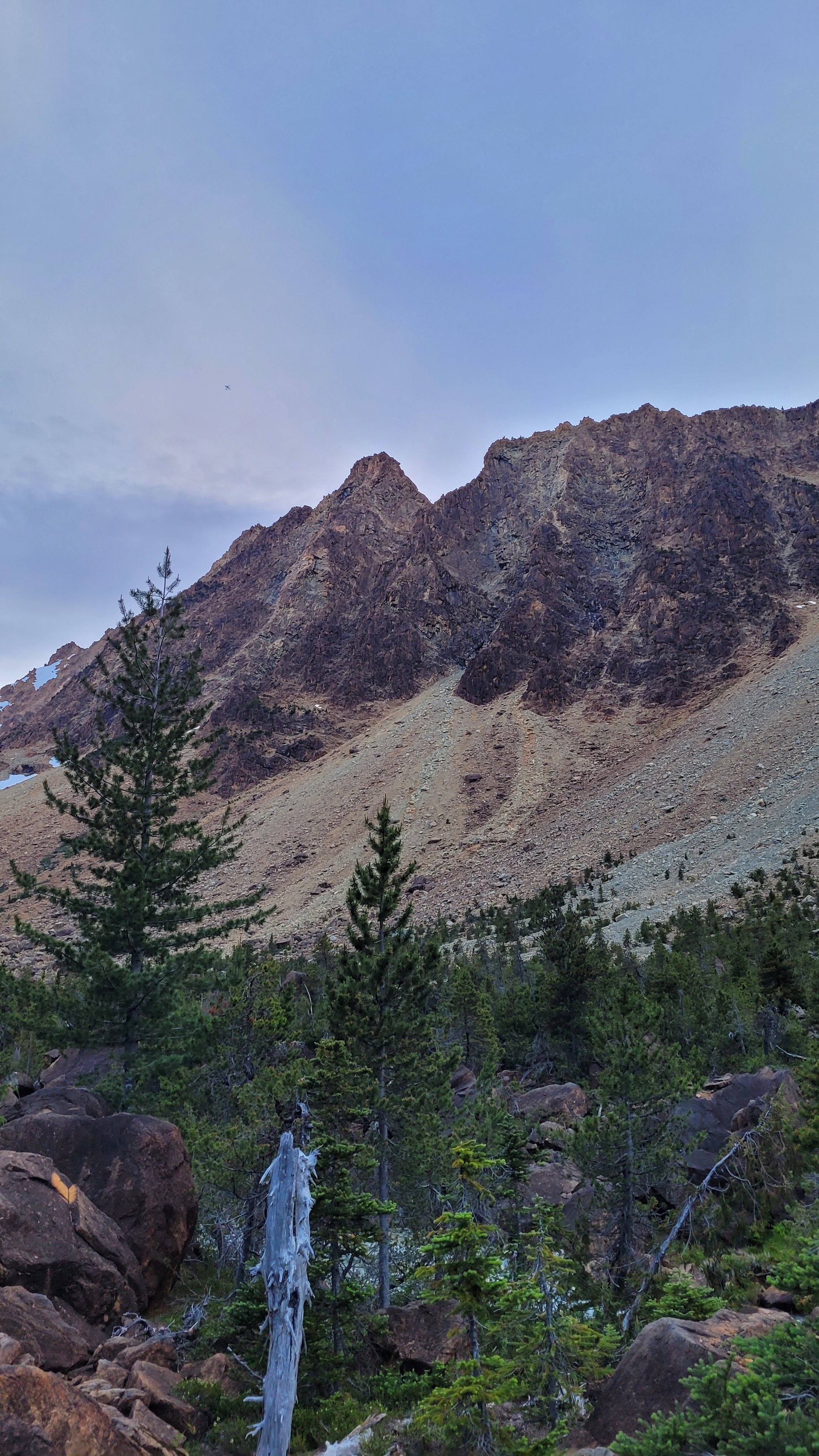
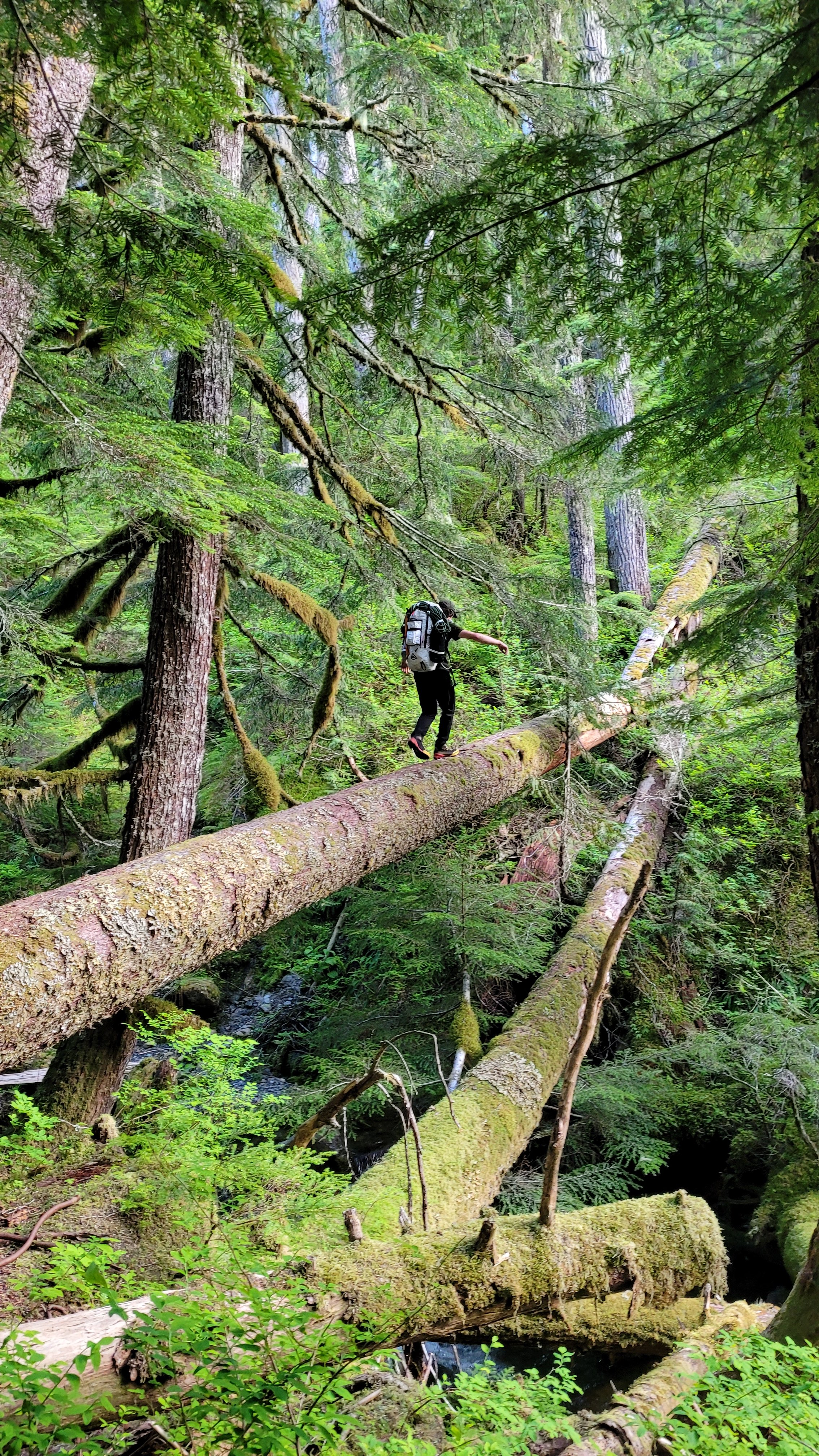
“Missed It” Wall 5.9 PG, 5 pitches, II, 6/22/24 Alex Pederson, Zack Williams, Spencer Moore What is the difference between a first ascent and a wildly preventable navigation error? Intentionality I suppose. Due to indifference and blasé attitudes towards where a route starts, what transformed our “off route” miscalculation into a full day of adventuring is a commitment to the joy of uncharted terrain. It seems as if this route is new, but in the style of the times I am going to spray about it on the internet and hope no one climbed this in the 70’s. I would hazard a redefinition of traditionalism in the 21st century is to keep the “fuck it we ball” attitude and check with the grey haired locals just to be sure. Hoping to capitalize the long days of the solstice, Alex Pederson, Zack Williams, and I decided to jaunt around the green creek circuit. Late Friday after a roofing gig in Acme, I rushed over to the trail head and ditched my tar stricken denim for soft shells. We bounced down to the river and crossed over the log bridge with what I must say is probably the best tensioned hand line I have ever encountered. Whoever did that, bravo. We chatted about old growth, scifi books, and climbing plans all the way through the second crossing and up to the river. It was a little past 9pm and we had taken just under two hours to get to the cairn that marked our final river crossing. We navigated upstream to a calmer section of the creek and waded knee high water to the other side. After a particularly fridged barefooted river crossing in Cody in January, snow melt rivers felt cute in comparison. I still yelped at the sensation of water that was probably snow 45 minutes earlier. Barfie toes are barfie toes after all. At camp we hunkered down for a leisurely wake up time of 4am, and drifted off to sleep after some celebratory beers cooled off in the creek. The forecast turned from rain on Sunday to rain on Saturday. We weren’t really sure if we could complete the circuit given the unpredictable weather, but we decided to see how far we could go until things didn’t make sense any more. We scrambled up the gully to the start of the Mythic Wall. There was a fair bit of snow at the base of the route, and we made a plan to start left and then traverse right into the route after avoiding the worst of the wetness. I opted to take the first lead by tying in and stealing the rack from Alex’s pack while throwing him a bight of rope. Even though you could probably hang one-handed on the grippy dunnite even if coated in Vaseline, something about wet rock triggers the instinct to go somewhere else. To put it succinctly, I went too far left; Like way to far left. I went so far left that I was closer to the Green Creek Arête than the Mythic Wall. Whoops. When Alex and Zack met me at the belay, they raised their eyebrows in disbelief at my route-finding choices and handed me the two cams back that I had placed in a full 65m pitch of low fifth. I was basically told to “try again” and just go as right as possible and see where we ended up. After 10 or so meters of traversing I met a flake and finger crack that led to a ledge just big enough to mantle onto. Pounding each hold with my fist, I ripped out what choss I could and plugged a small nut and a black totem into the wall and sacked up for the moves. Some finger locks, a layback series, and a heel hook mantle proved to be the physical crux of the route. As I followed a hand and fist crack to the right, I gardened blocks and flakes from sections of the wall by either ripping it out or watching it crumble as I tested each move. After an inspiring serpentinite bearing crack system, a foothold blew on my final mantle move and I lost any confidence in slicken-lines and fault scour. I found a belay out left on more solid dunite and brought up Zack and Alex. As Alex led the next two pitches, Zack and I talked religion, machine extruded Mexican food, and literature. Alex took off on a #2 crack that bore some interesting stemming and jamming, and ended at what amounted to a perfect tree anchor. We seemed to be lucking out on ledges big enough for a party of three. His next block also started with excellent jams, leading to a precarious tombstone shaped stack of loose flakes the size of flatbed trucks. He shouted “don’t touch anything to the left of the #2!”, and jutted right to a ring lock sized crack that took excellent nuts and small cams. A tricky high foot and a crimpy rail led up left to yet another mantle, and a fantastic belay ledge. We were 15 meters below the fourth class section of the Green Creek Arête leading to the 5.6 headwall. I opted for the last lead and stemmed up a chimney with excellent jams and one memorable offwidth move. There was a great #1 sized crack to finish topping out, and a convenient tree to belay off of. We topped out, ate a quick snack, and carried the rope over to the start of the 5.6 pitch of the GCA. A party of two was rapping down as we flaked out at the base, and we exchanged pleasantries during their descent. Non sequitur: We found a pin anchor midway up the pitch for a rap station in an absolutely unnecessary location no more than six feet away from a visible tree anchor with tat. While I am not above placing pins in the alpine, I do so pretty sparingly and only when there is no other option. With ice and mixed climbing, I keep a few small pins and a pecker for iced up cracks. These pins were placed poorly in a very haphazard fashion out of the way of the line of descent next to a crack that could have taken nuts just as well as the tree that was already slung. We found another pin anchor backing up a 1.5ft diameter tree that was slung too high and choking out some branches. I don’t want to throw shade at anyone because people make mistakes and placing pins is somewhat of a lost art, but for real please pick a choss heap that is on the ground to practice hammering iron, and pack some extra nuts and tat if you are really trying to beef up an established rap station. We removed the loose pins and replaced a bunch of sun bleached tat on the tree anchor. Ultimately I don’t want to make people feel bad for ethics in climbing, I think it is a better approach to gently bring them into the fold. If the people who ended up placing those pins ever read this, the super popular route that you are climbing probably has established rap stations, and if you can’t find those stations please use pitons literally as a last resort. /endrant Zack, tired of riding the middle, sprinted up the 5.6. Alex and I topped out just as the clouds started looking evil. We hesitated before dropping to the saddle heading towards the South Twin. The snow was soft and saturated. With each step closer to the South Twin, we grew increasingly less enthusiastic about being up high. Passing squalls peppered us with rain, and we finally paused halfway to our purported link up. Examining two cornices on the S Twin, we hesitated further. Turning toward Baker, we watched a lenticular cloud at the summit succumb to grey blankets of overburdened cumulus. All across the valley we watched patches of rain sweep the range. We had a lot of time left in the day to tag the twin, but the super wet snow gave us bad impressions of the cornice hazards. A wet slide by Cinderella sealed the deal to go down. We opted for a leisurely lunch before our retreat, leaving the epic for another time. Bursts of rain peppered us as we began our first rappel. We admired Blake Harington’s line adjacent to the Mythic Wall and undid the aforementioned pin nest on our way down. After a second rap, we downclimbed the 3rd class ledge ladder as the rain shifted to the south side of the valley. Boulder hopping and generally avoiding killing each other with loose blocks gave way to our camp, where we rehydrated and snacked while packing up. As god has no small sense of irony, instead of cutting myself on the razorblade rocks we had been palming all day, I slipped on a wet root and an errant branch sliced a section of my palm open on the way down. As we made our way back to the car (and as I grumbled about how this kind of shit never happens when you go sport climbing) we looked back to the range, now certain that a bail was warranted for the traverse. In dripping glee, we made our way back to the trailhead and crossed our final log of the day. We celebrated with a staggering order of Taco Bell – which arguably is the most hazardous terrain we encountered that day – and deliriously gorged ourselves on extruded Mexican food, extoling the virtues of long days in the mountains in good company. Route Description: P1: 4th to low 5th class. Simul climb 65m of choss ramp moving left to 5 meters of a baggy finger crack around 5.6 P2: 5.9 55m. 10m of blocky climbing traversing right to a finger crack. A small downward sloping triangle block guards the only feet before the finger crack. Two hard finger moves lead to a layback and mantle, protected with a black totem and small nut. Move up and right to a hand and fist crack containing smooth serpentinite and fault scour. Pull through a small overhanging move and mantle again. Trend left to another hand crack nestled in a right facing corner for a decent gear anchor on a ledge with a small bush. P3: 5.7 30m. Follow the hand crack at the base of the belay ledge to a small tree. Move right and up a blocky crack system to a bigger tree with a good belay stance at the base of yet another hand crack. P4: 5.8+ 30m PG. This is probably the most fun pitch of the entire route. Great movement off the deck leads to a crack system that narrows as it moves up. The flakes peter out to a crimpy rail with slopers, with a committing mantle move for a finisher. Halfway up the pitch are three truck bed sized flakes loosely stacked on top of each other. Careful, these are widow-makers and will absolutely kill your belayer if disturbed. P5: 5.7 15m A fun stemming corner and offwidth lead to a roof with thin hands. Protects well with some ringlock to hand sized pieces. Top out at a slung tree that marks a rap station for the Green Creek Arête. P6: 5.6 finish with the 5.6 crux of the Green Creek Arête Protection: Double rack to 2, healthy nut rack with some hand size hexes thrown in for good measure. Location: Go to the base of the Mythic Wall and get off route by moving too far left.2 points
-
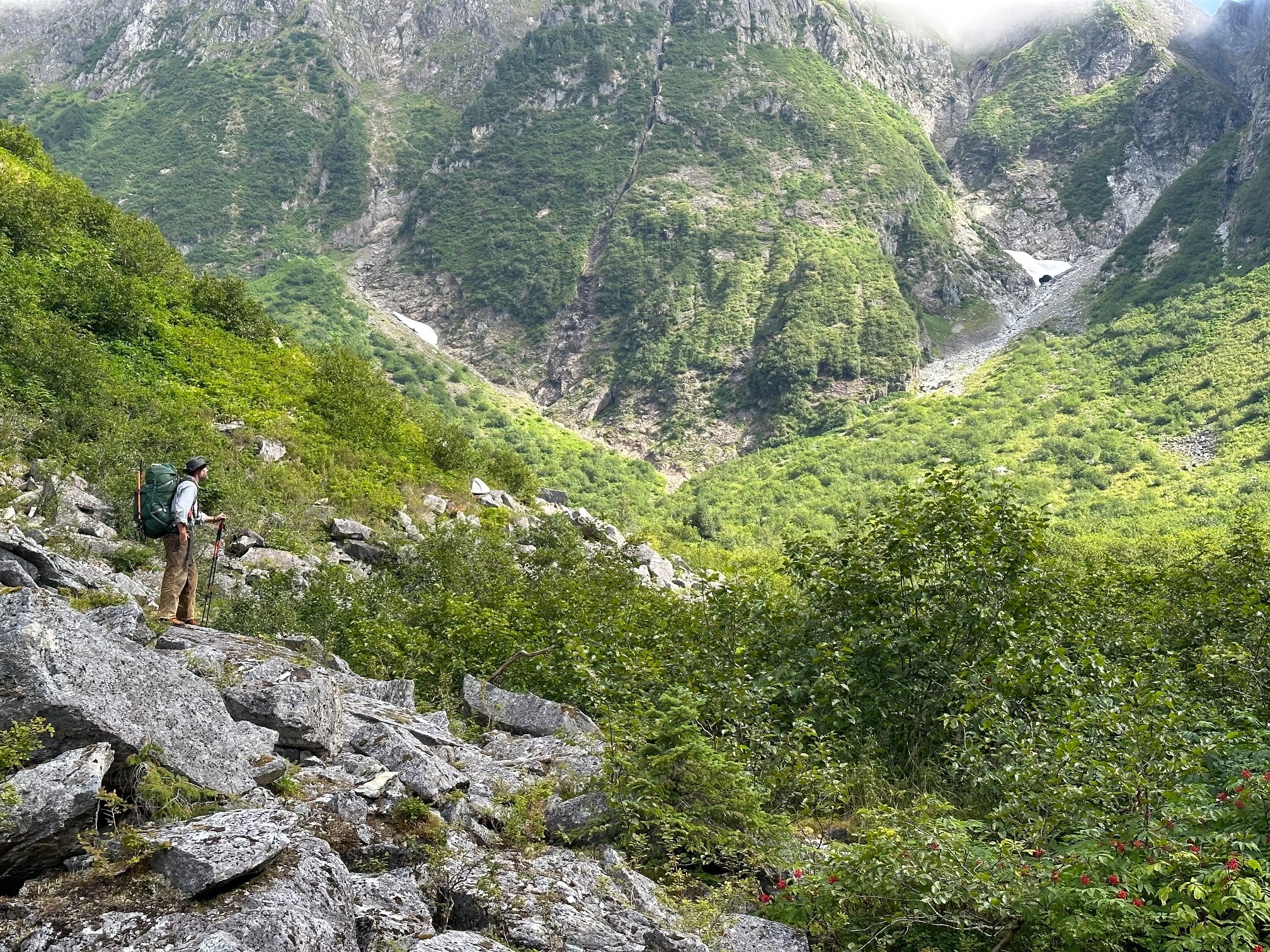
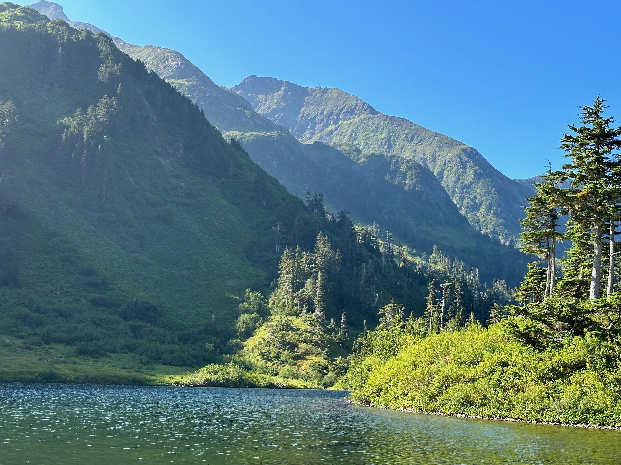
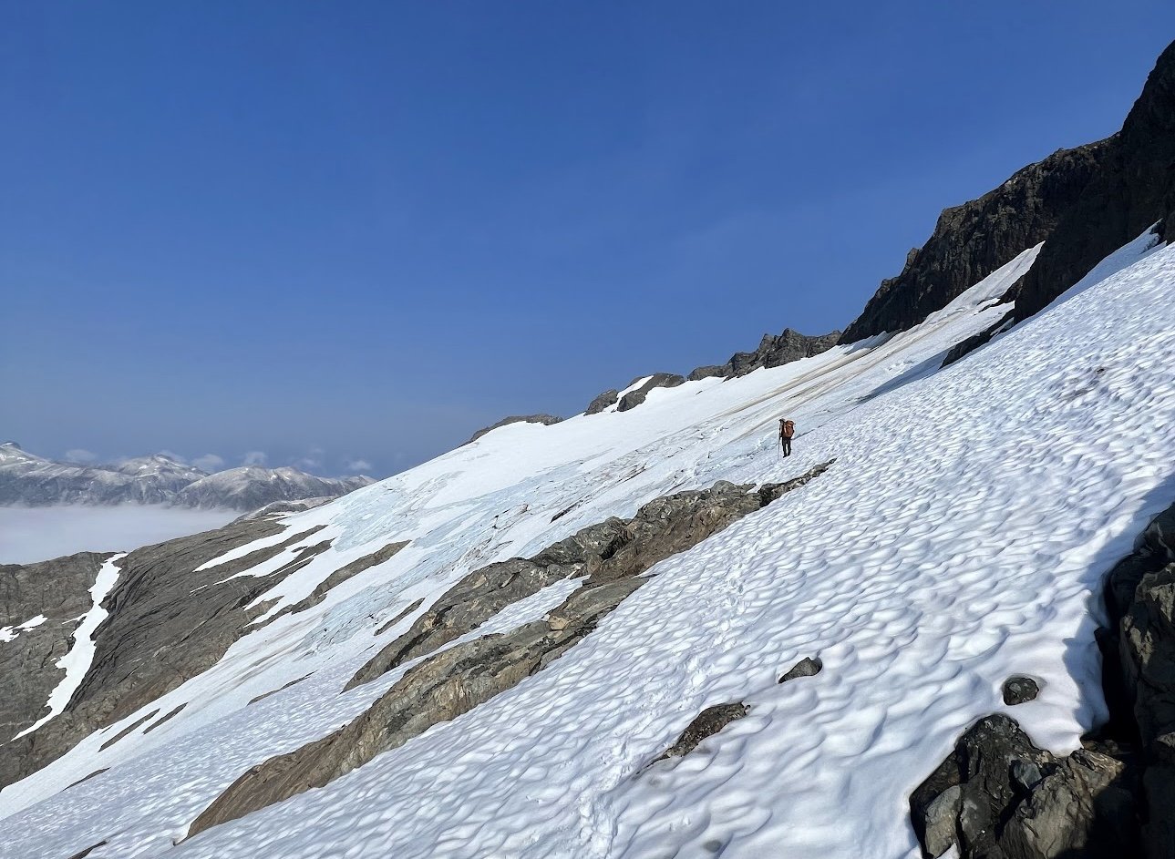
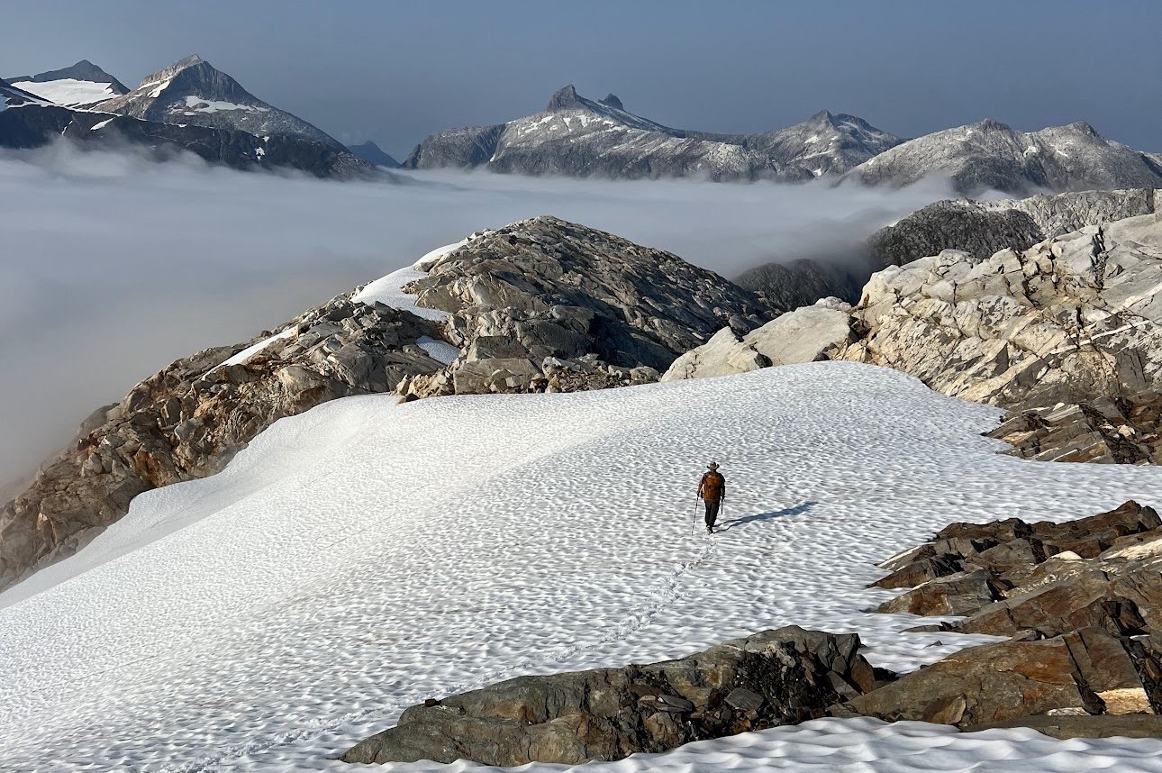
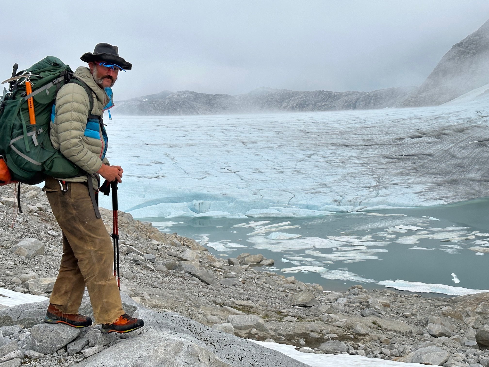
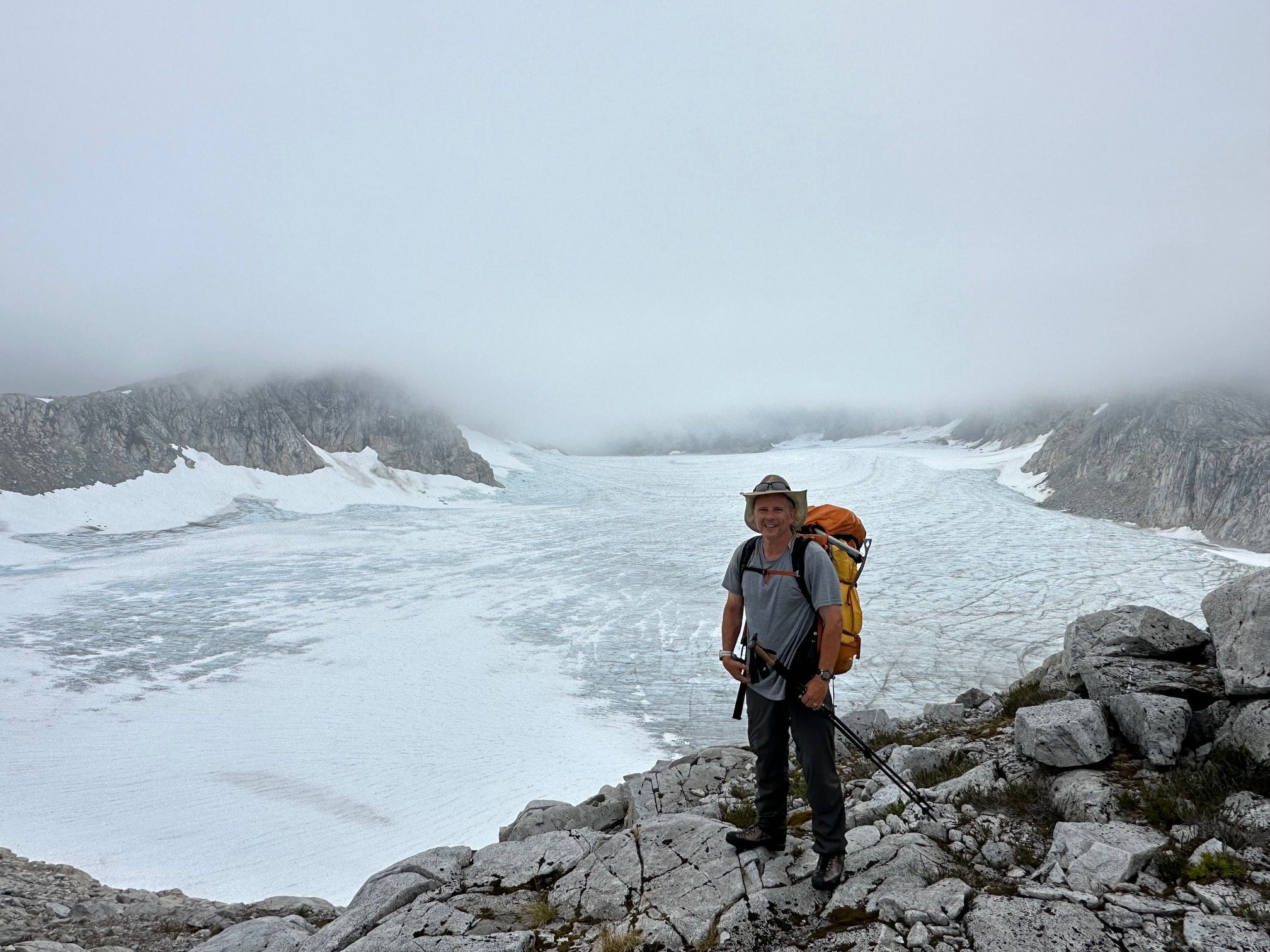
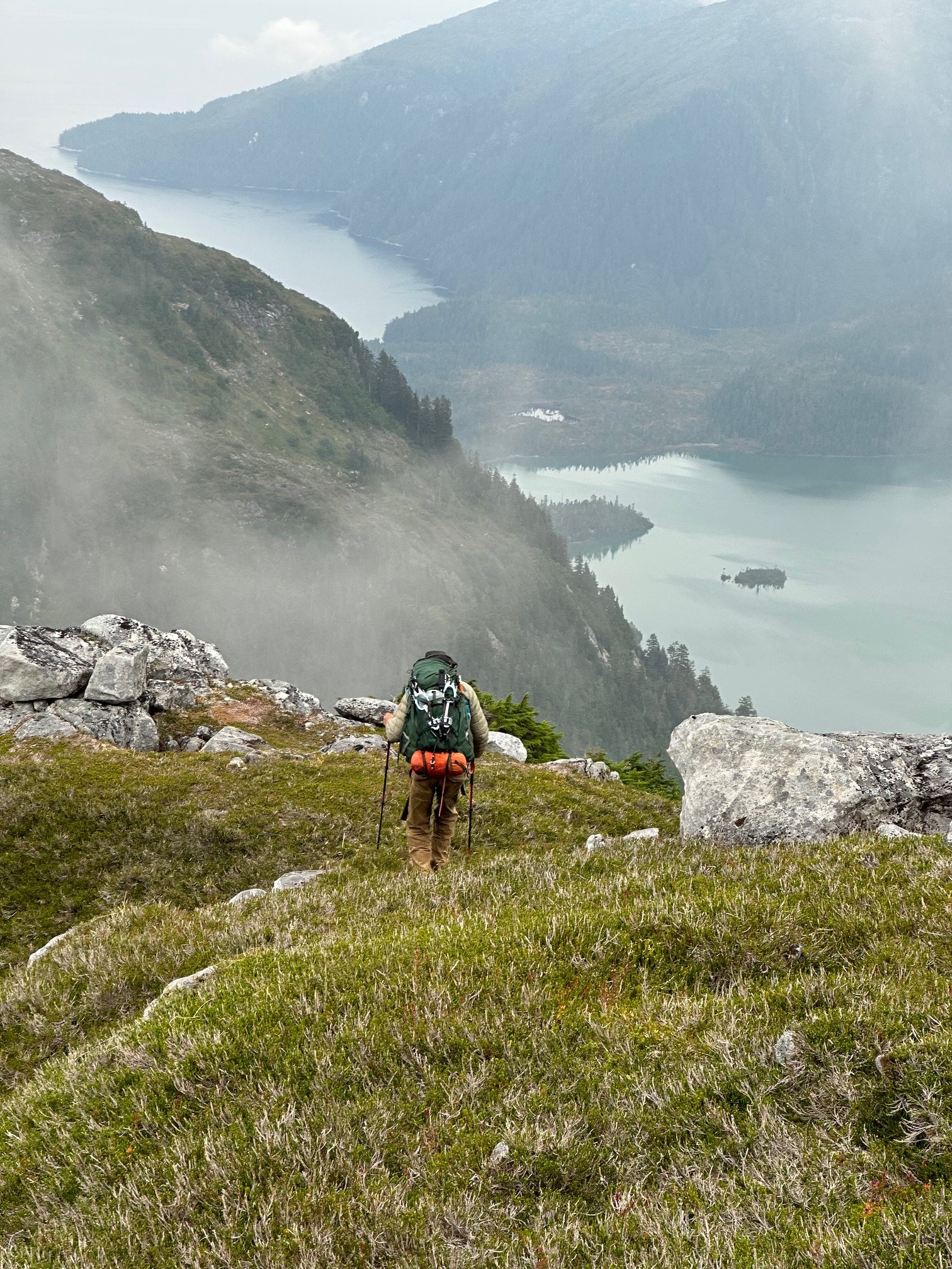
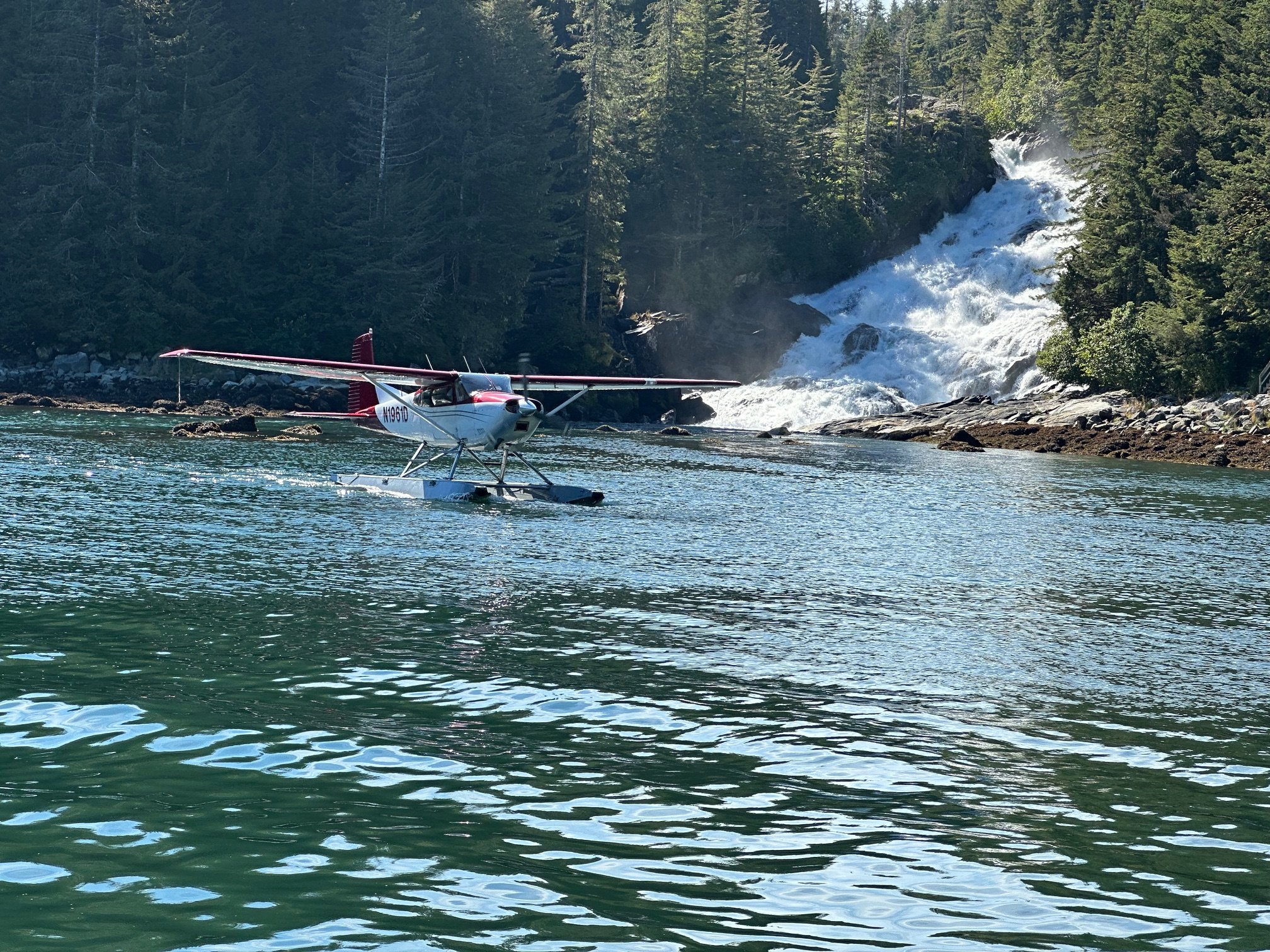
A friend and I did a four day traverse of Baranof Island last August--starting just south of Sitka at the Medvejie Fish Hatchery dock, and finishing the route on the east side of the island at Warm Springs four days later where we were picked up by float plane. Plenty of Brown Bears, bushwhacking, meadows, glaciers & icefields, alpine lakes, and spectacular ridge-walking. Pure joy.1 point
-
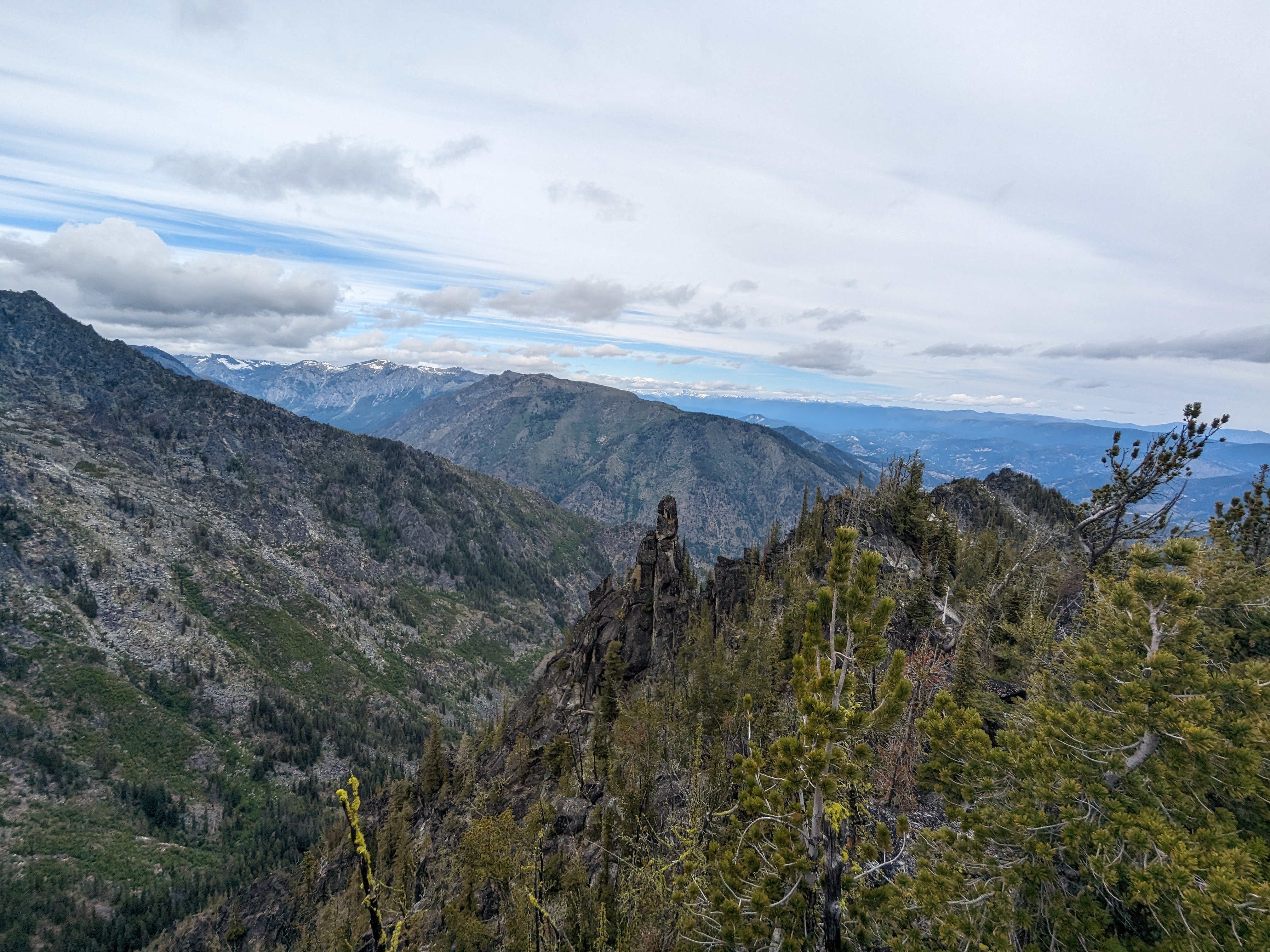
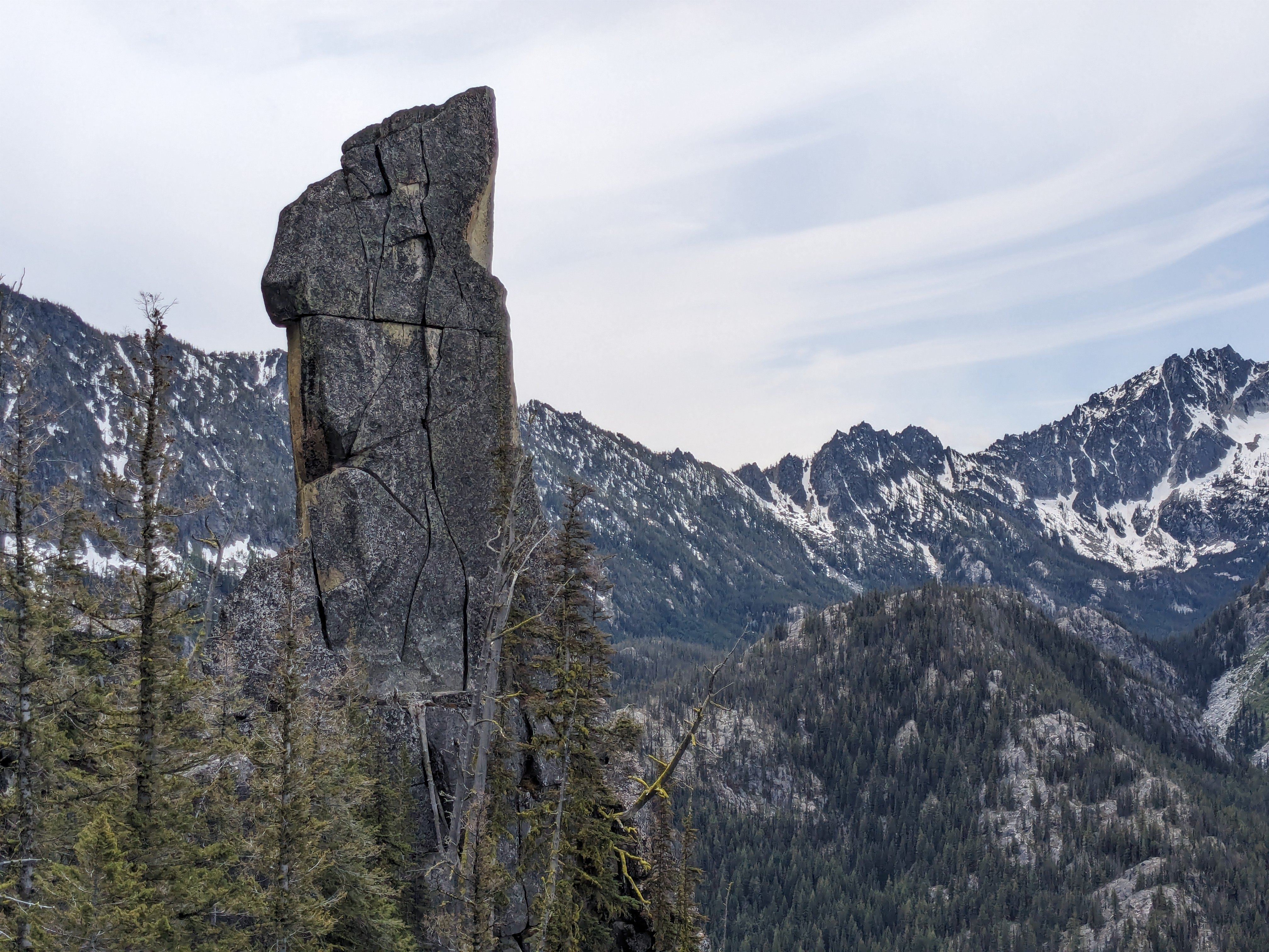
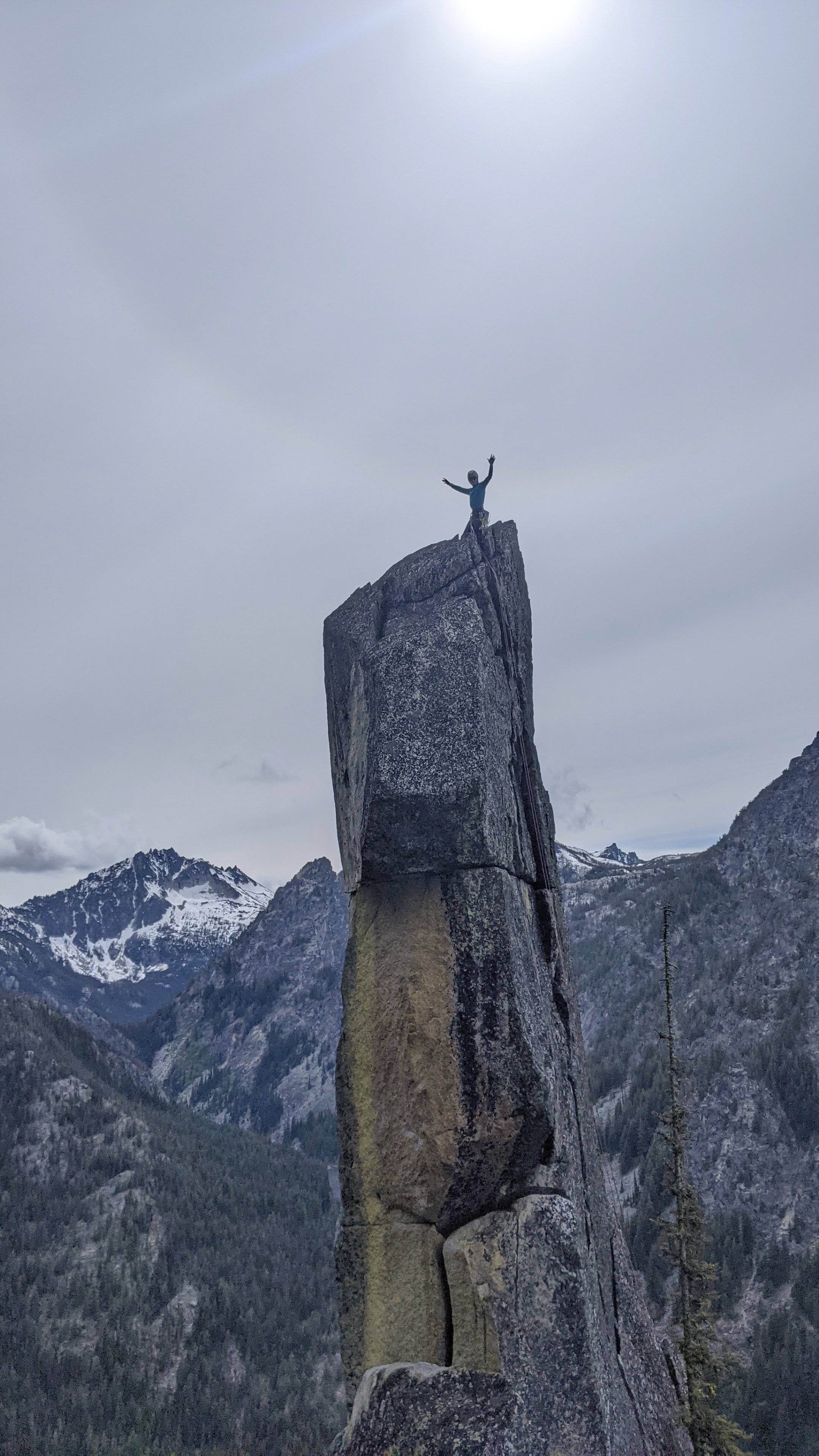
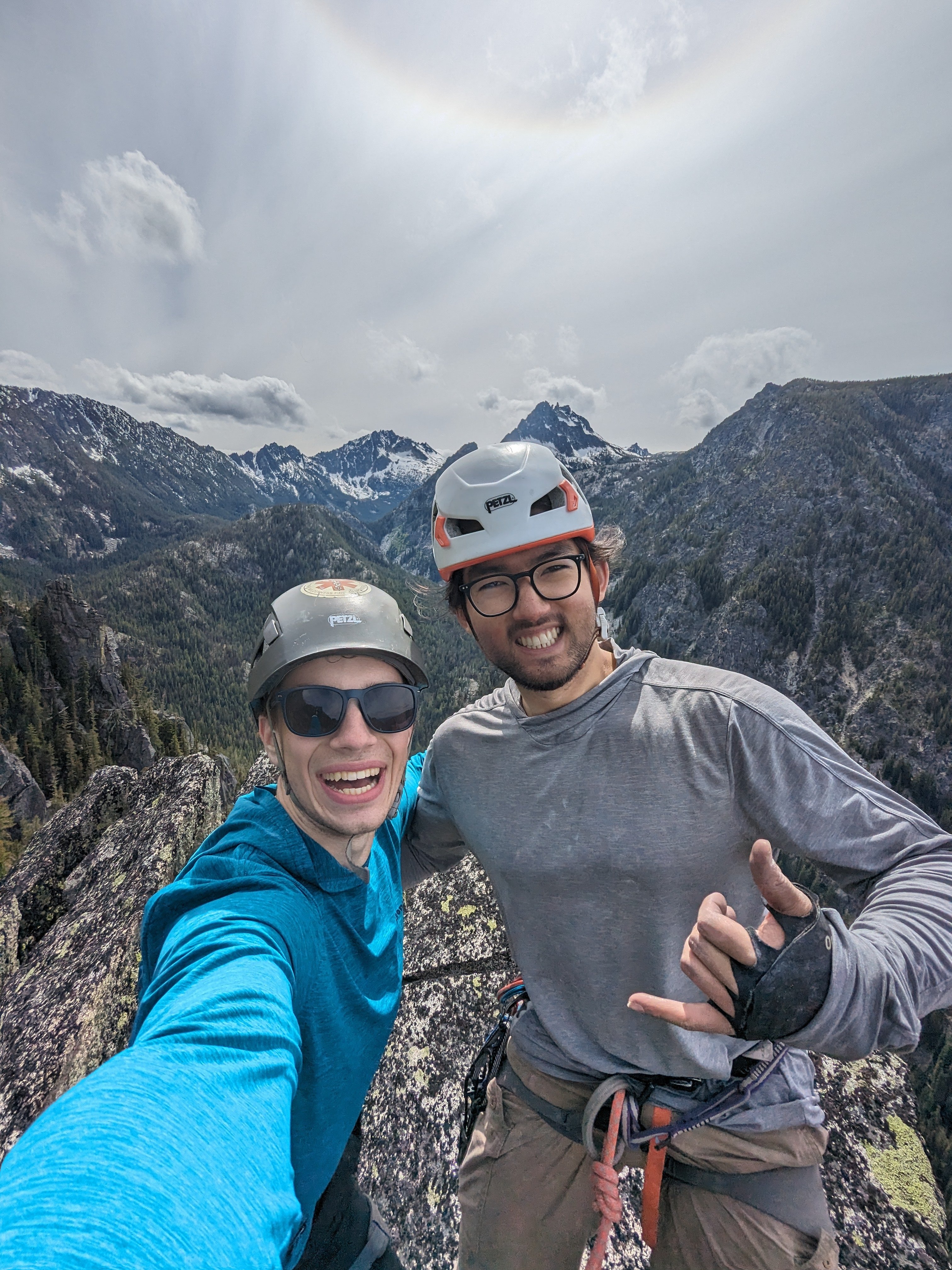
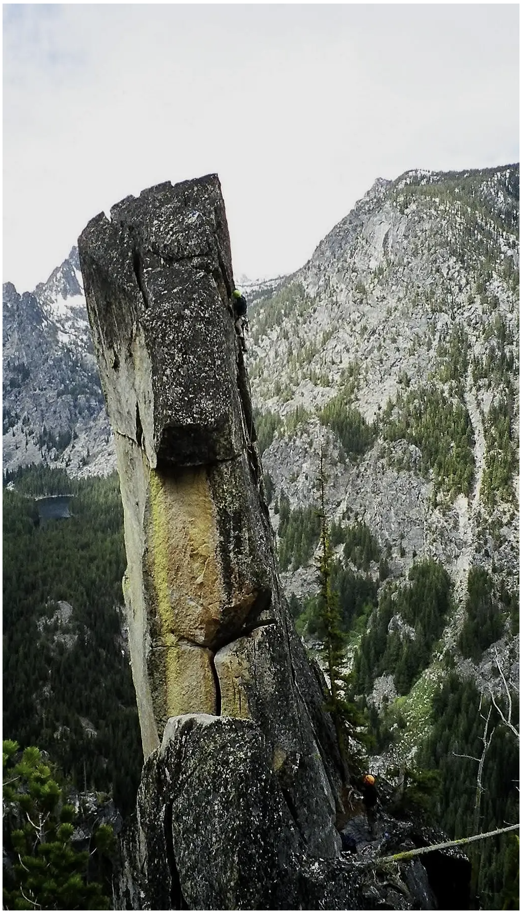
Trip: Snow Creek - The Chisel (North Face, 5.9) Trip Date: 06/14/2024 Trip Report: After stumbling across Jplotz's photos of the Chisel on SummitPost taken in 2006, I was inspired by the aesthetics of this pinnacle and the lack of information about it. (Edit: I found JPlotz's CC post shortly after writing up my own report! Turns out their ascent was in 2004.) Jplotz, 2006: The photo that captured my imagination Photo from 6/14/24 Working with only the 2006 photos, a brief mention in the Cascade Alpine Guide, and a location pin on Caltopo (later discovered to be inaccurate) my buddy Sam and I set off for a Cascadian adventure. We approached via the Wedge Mountain Trail, bushwhacking and scrambling south along the ridge to the point where we would drop down into the 4th class terrain and descend the 500 feet to the base of the Chisel. The bushy ridge of Wedge Mountain, looking north. The tower in the middle is not the Chisel. In hindsight, the more sane approach is to take the Snow Lakes Trail and ascend a gully (unless you have a hankering for a scrappy, scrambly day out) even though the mileage and elevation gain are higher. This way, you can avoid most of the schwacking, the loose descent off the ridge, and the heinously overgrown road to the Wedge Mtn. Trailhead. The second crux of the day (the first being the road) was locating the Chisel. Caltopo's pin is about 400 feet too far north, and this caused some confusion as we continued down the ridge with no Chisel in sight. After traversing a little farther and scrambling up to a viewpoint, we finally laid eyes on the pinnacle and felt a mixture of stoke and worry as we realized how much kitty litter and pine needle-strewn 3rd and 4th class terrain we would have to descend to reach our objective. The Chisel reveals itself! We hemmed and hawed for a few minutes, then started carefully down-scrambling. We made one rap off a tree, then roped up and traversed south across a dense 45˚ forest slope, using the trees for a natural running belay. Just when it felt like we must have passed the formation, Sam shouted back to me that we were close! Soon we were back on rock, scrambling to the base of the climb. We took a short break to settle in and rack up, then started up the real climbing. I led the first short step to the big belay ledge, a hand crack behind a flake. Up next was the 75' 5.9 pitch that I had seen referenced but never photographed. I was surprised by how protectable and high-quality it looked. 75 feet of 5.9 crack! I started up the wide layback, noting how much the lichen-crusted rock reduced the friction beneath my feet. At a good stance, I placed gear and moved into a section of good hands followed by good fists. More laybacking on flakes and solid gear led to the final section of hands with increasingly abundant and positive face holds. Topping out, I whooped with delight and stoke on the fun lead and spectacular position. I brought Sam up, and we took a moment to enjoy the views and take photos. There are three bolts at the top, an assortment of rusty 1/4"ers. We replaced the old tat and equalized the two best bolts, backing them up to a nut. Woohoo! Sam on rappel The scramble up and out was straightforward enough, though accompanied by many laments of the Wedge Mtn approach. Burgers in Leavenworth capped off an unforgettable day out! We initially believed we were the first to climb this feature since 2004, but the JPlotz TR reported a hole count of one at the summit and we found three. If you climbed the Chisel after 2004 and before us, reply and tell us about it! The little summit block of Wedge, a small bonus on the day Gear Notes: If you want to sew it up and have a solid anchor: Singles 4 to 0.4 Doubles 2 to .75 Approach Notes: Wedge Mountain approach is much more bushwhacking and scrambling. Snow Lakes Trail is probably much more straightforward than what we did, but longer.1 point
-
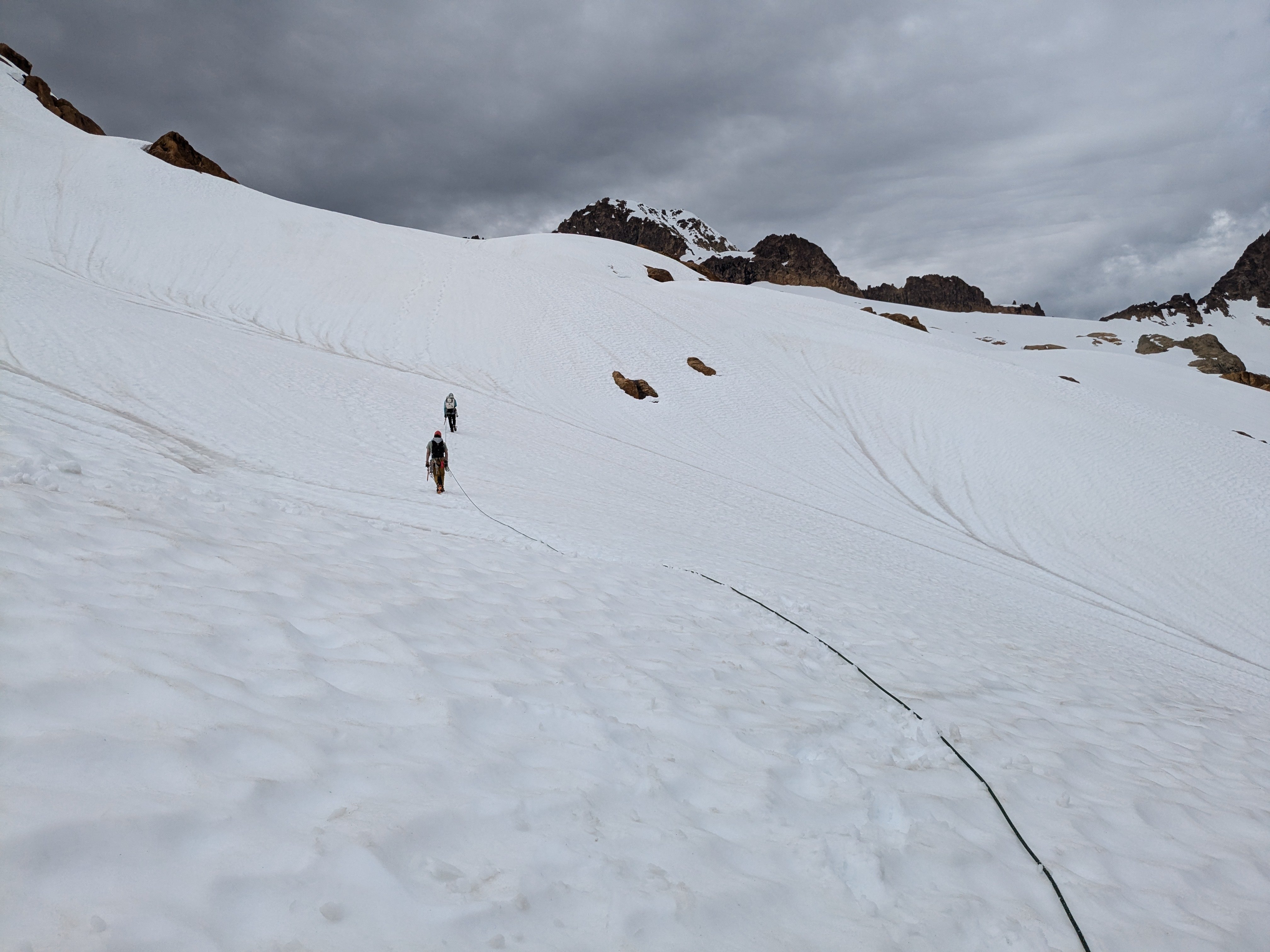
Trip: Taste of the Ptarmigan - Hot Southern style Trip Date: 06/22/2024 Trip Report: On Thursday morning, we set out to ski the Ptarmigan Traverse, south to north, over four days, with a Dome summit attempt. I know you have so many questions already.... TL;DR: bailed on the route on the second day when there was no solid overnight refreeze and at 10am we were sliding out while skinning the first major traverse, setting off fair-sized wet loose slides. Longer version: Desperate to find ski partners for a four-day stretch with a good weather window, I turned to the internet. To my happy surprise, J responded positively to my message on the TAY website! We talked on the phone and sussed out each others' experience and skills. I also convinced her that based on conditions I found on a recent ski trip, the Ptarmigan would be in good shape for us. So, we decided that setting out together wouldn't mean certain abandonment in a crevasse or either of us having to act as a guide. Her partner Z would also join. They were both on splits. "Going out with unknown splitboarders is risky business," @Hoo sagely advised, one of my favorite mountain partners (found here on CC!) and a splitboarder himself. After chatting with J, though, I felt confident that these splitboarders had good split-ski skills and it would work out. We left my car at the Eldo trailhead, stashed beers in the river, and got to know each other a bit on the drive around to the Downey Creek trailhead. I could tell pretty quickly that it was going to be a fun trip. We set out at 4am with skis on packs and the trail was fairly fast and easy for the first several miles. Then it got pretty damn brushy. Then we encountered the first of a few giant blowdowns that required crawling under on hands and knees. We turned up the Bachelor Creek trail and gained some elevation and more brushiness. We continued on, following some flagging and up the bypass trail which skips some brush and slide alder; there's still mandatory slide alder (going at probably B2, or B2++ with skis). Soon enough we got to the crossing of Bachelor Creek and came across two giant tents, stuff hanging in trees, and a guy doing some relaxed PT with a stretchy band. Hello! We chatted with two very friendly dudes who were doing a glamping+Dome+Sinister trip. They were combining the comforts of Fireball, a near-complete six-pack, and camp chairs with the masochism of the 75-pound backpacks they had humped up there. Are these guys awesome or insane? Soon we were getting our feet wet in the boggy melting-out trail and then postholing a bit in the patchy snow. And then did some real elevation gain and discussed how, wow, our backpacks probably weigh like 45+ pounds with all our stuff and skis and boots! Finally, up around 5400', we could see more of the route and the continuous snow, and we were quite thrilled to take the skis off packs and start skinning. Unfortunately, as we approached Cub Pass, it was nearly 3pm and the snow was total slop. Sliding out in an uncontrollable way into melted-out heather was demoralizing and a little worrisome; we ended up booting a bit to avoid more of that and continued carrying over the pass and down to Cub Lake (melting out quickly). The next stretch of time included about an hour or so of actual rain and about an hour or so of fiddling with an apparently too-dirty-to-function-correctly stove. Luckily we were able to heat water enough to get our dinners rehydrated. The stove not functioning correctly was worrisome for the traverse; we needed it for water. J said she would clean it in the morning and that would probably do the trick. Glamping Guys (I think Alex and...Adam? I'm sorry if they read this...) showed up -- one highlight was the Trader Joe's bag somewhat strapped to the outside of one of their packs. How it survived the alder, I do not know. I was tired. I knew we weren't setting any records with our pace, but how did it take us nearly 12 hours to go like 11.5 miles? I think I was in my bivy by around 8:30pm... We hadn't discussed an alarm time and there was still this question of the stove. Around 6:30 or so I watched the Glamping Guys head out with summit packs. Our party had slept in a little more than we maybe should have (but didn't make a difference in the end) and J cleaned the stove which did fix the issues so continuamos! After a short and chill bootpack, we were skinning again and ten minutes later arrived at Itswoot Pass. Greeting us was an older couple that we had chatted with the afternoon before at the lake and a second couple -- one of whom says his ... uncle? Grandfather? was part of the original Ptarmigan party, age 18! We look across the way and see Dome, and the Dome-Dana col, and discuss the time, crappy snow conditions, and all our options. We decide to at least get to the col, and we start across the long traverse. It's terrible from the start. Super, super sloppy snow. At one point, I kick off a little wet loose slide and it entrained more snow and runs pretty far, including pouring over a boulder that's halfway melted out. We get to a little rocky outcropping that we have to carry skis over, and we have another chat there at around 6200'. The mountains are giving us red lights; we can't travel safely in consequential terrain and we can't skin very safely or ski very quickly with how the snow is. It just is not what we expected or want for this traverse to go. We make the sad decision to bail from our traverse and head back to the ridge for some kind of plan B. We hang out all day in this beautiful place, watch a few natural wet loose slides come down (one quite large), keep an eye on all the climbers that pass us and head up and over to climb Dome. We hang with the marmots and the pikas in the rocks, build bivy spots in the snow. J has a lot of energy and boots up toward Spire Col about 600' or so and takes a couple of runs. She builds a snow cat. Our plan is to wake up really early and see if the snow has refrozen overnight -- if so, we'll check out Spire Col and maybe do a run down the western lobe of the Dana Glacier? With increasing freezing levels, I am not convinced it will happen, but try to remain hopeful. As the sun sets over the ridge, the three of us head up together and take a run down -- sticky and heavy, but not the very worst I've ever skied. We return to our ridge camp and Glamping Guys are there! They were going to leave the snow cat drinking a nip of Fireball but happily we get to chat and hear about their adventures in post-holing, the looming cornice on Dome, and how far it really is between Dome and Sinister. We really enjoyed chatting and following along with these two and I was so impressed with their smiles and attitudes even after 14+ hours of post-holing! That evening, the full strawberry moon (on the solstice) came up with cool clouds in front -- memorable. At 3:30am the next morning, my alarm went off and I poked the snow outside my bivy fort. Soft. No crust, no refreeze whatsoever. I shuffled over to J and Z and asked for their confirmation and permission to go back to sleep for a few hours. We all agreed: no go. Sigh. We packed up and headed down. The ski out was pretty alright! There were certainly a few fun turns in there. The slide alder was much easier going down. The crawling under the blowdown was about the same. Poor Z's feet were rubbed raw by the end of the trail. Finally we were back to the start and un-did the car shuttle. Sigh. The beers back in the Cascade River were located easily and we finally said our good-byes. Thank you, J and Z, for a memorable trip! Gear Notes: Drugs Approach Notes: Brushy1 point
-
1 point


