Leaderboard
Popular Content
Showing content with the highest reputation on 06/14/23 in all areas
-
I aged out of serious climbing a few years ago but still keep up with what's happening here and appreciate the effort given to the trip and this report. Top notch, including the images. Mt Triumph was my last real climb at age 62. After resisting the notion that it was time to turn away from climbing, I knew it was time. What a fine mountain to finish it on and your pic it was very satisfying somehow... Thanks, d2 points
-
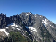
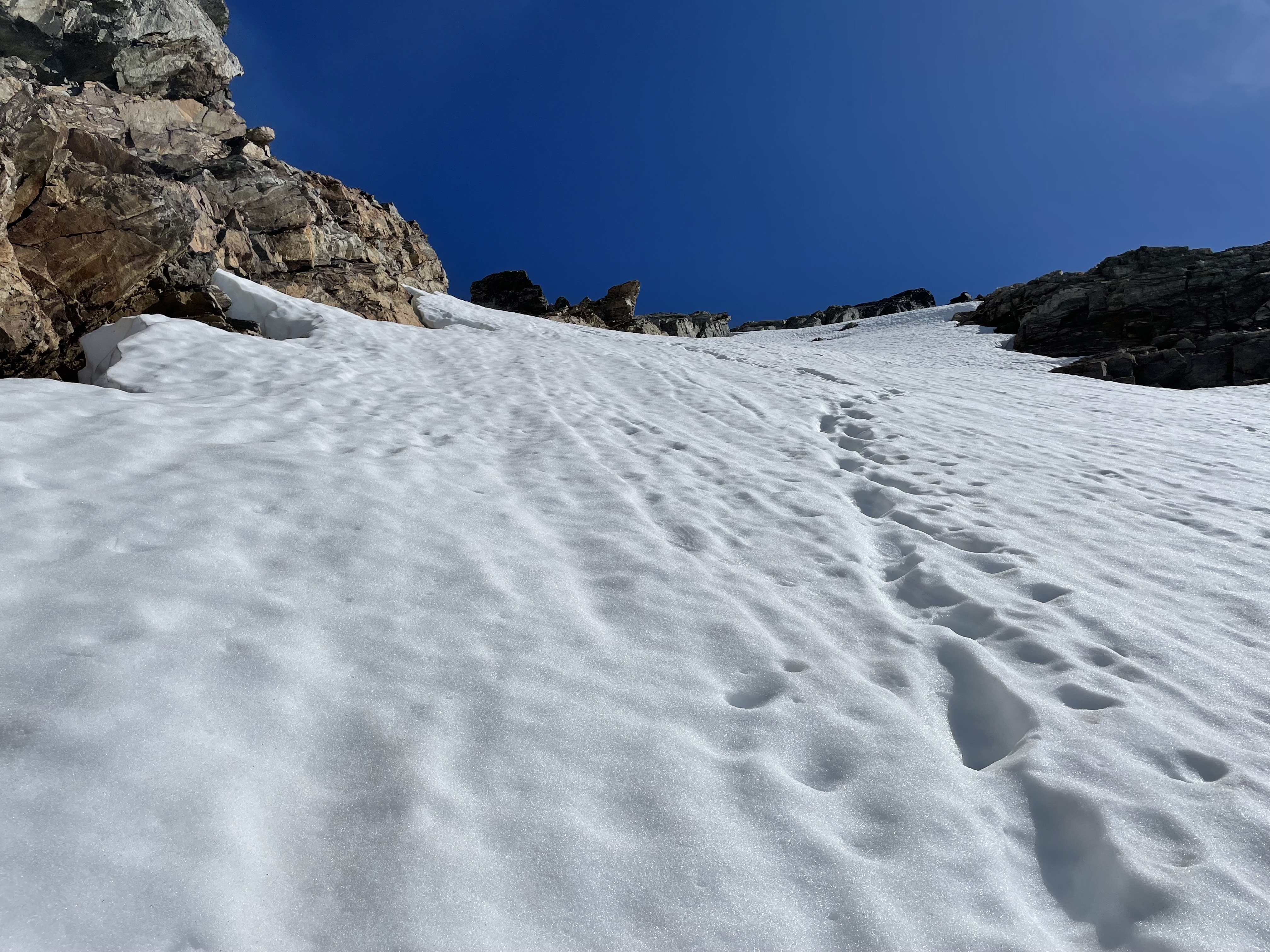
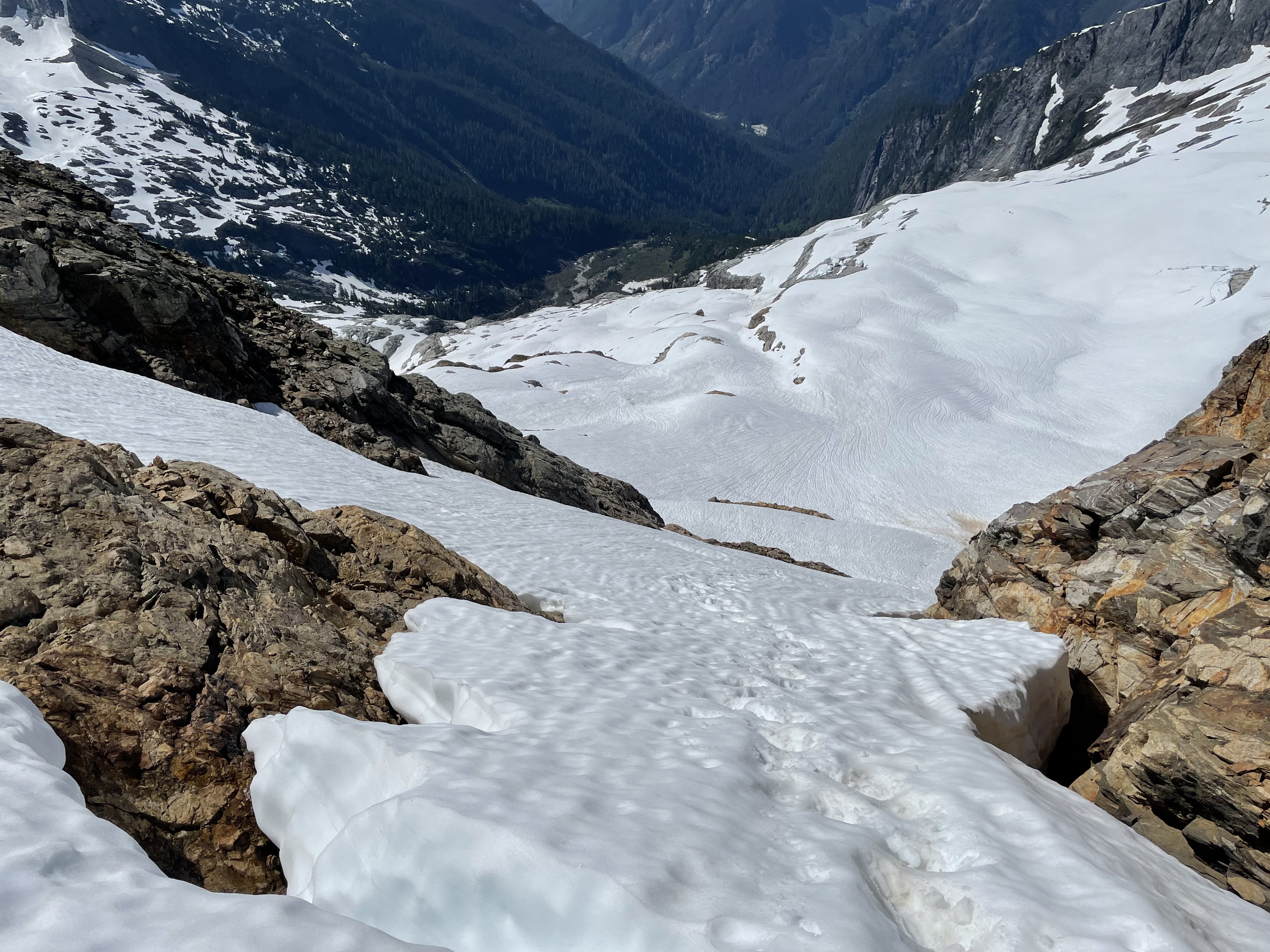
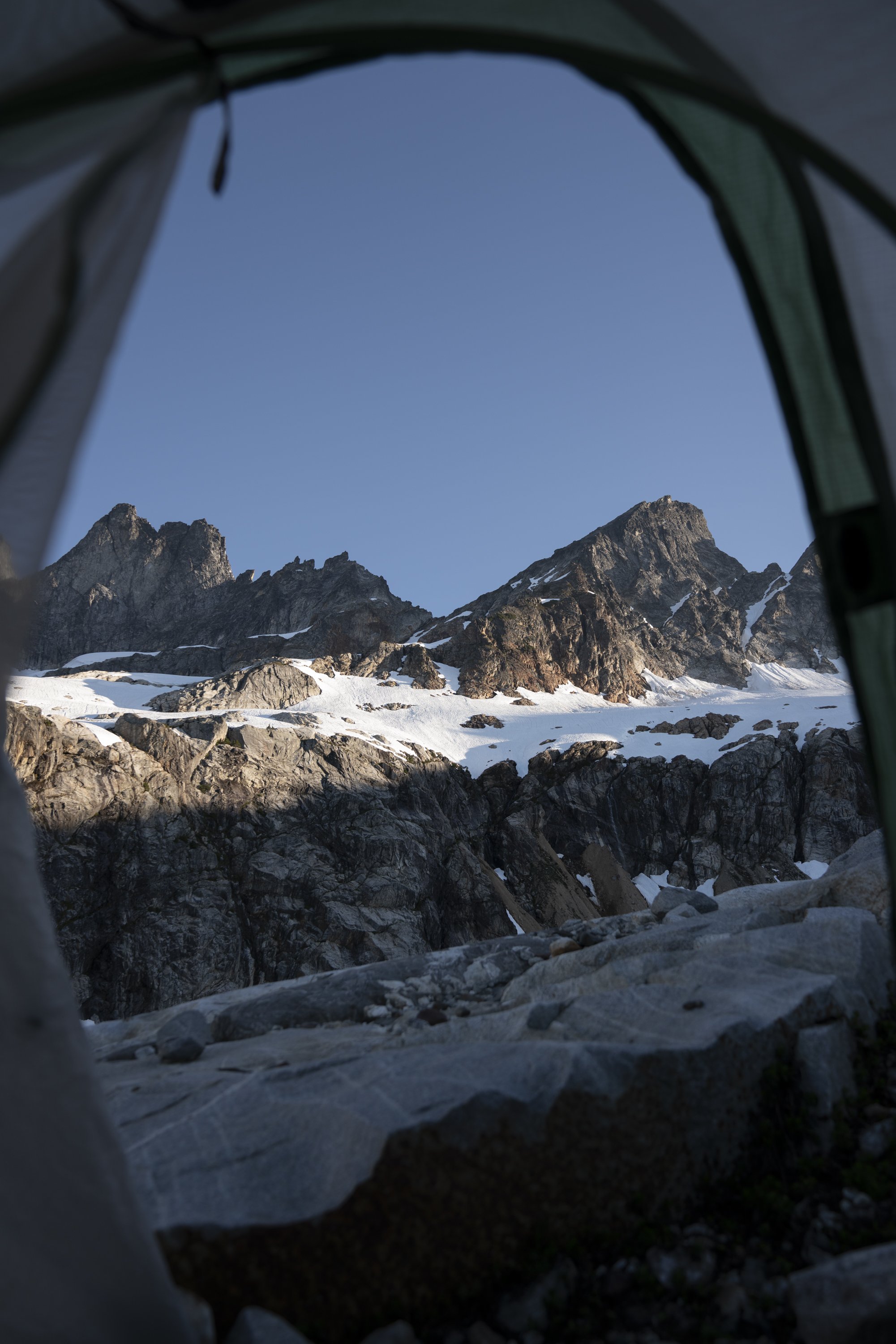
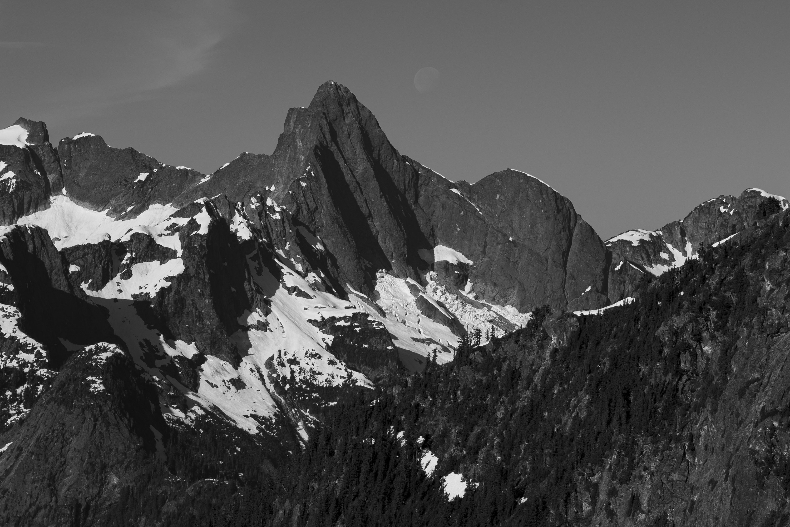
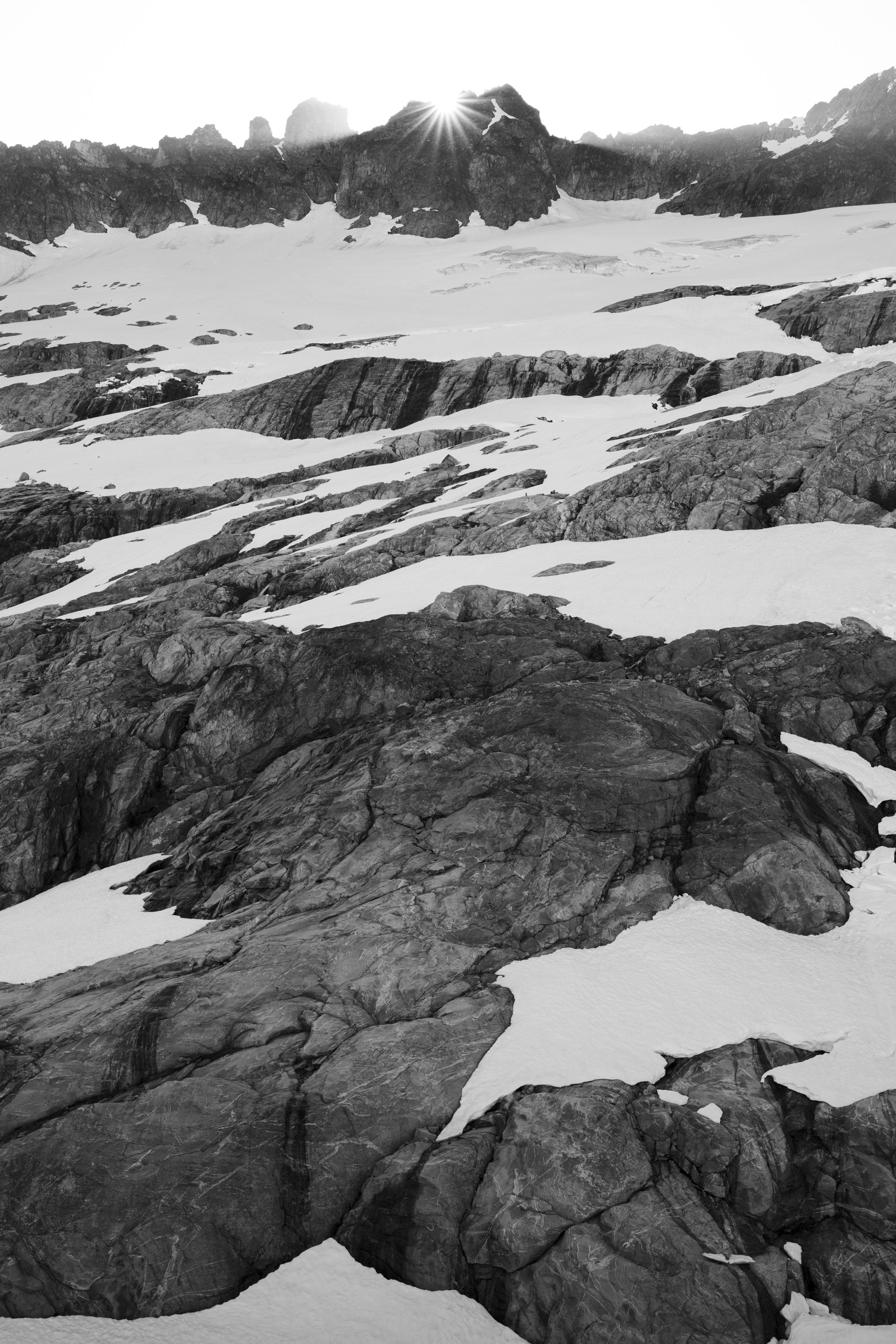
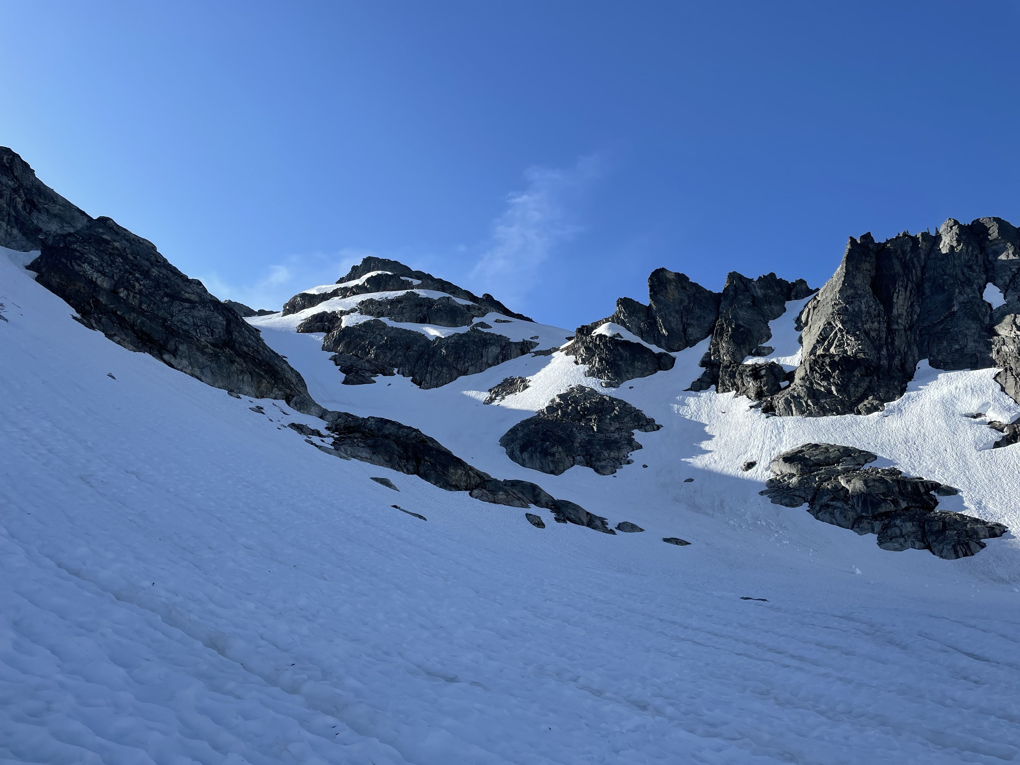
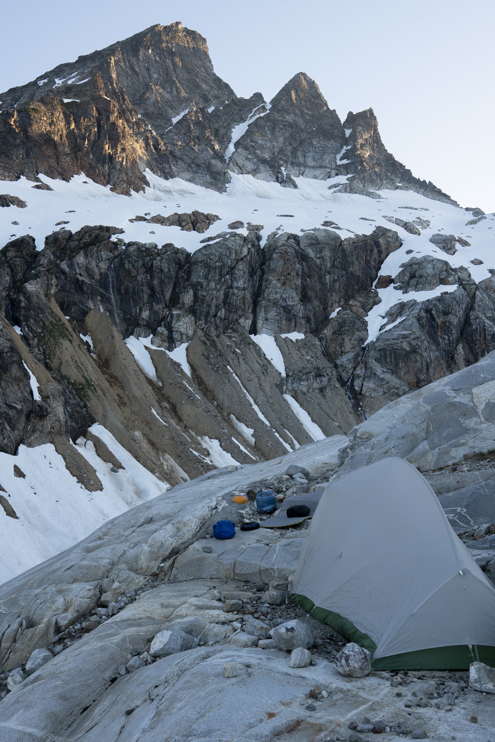
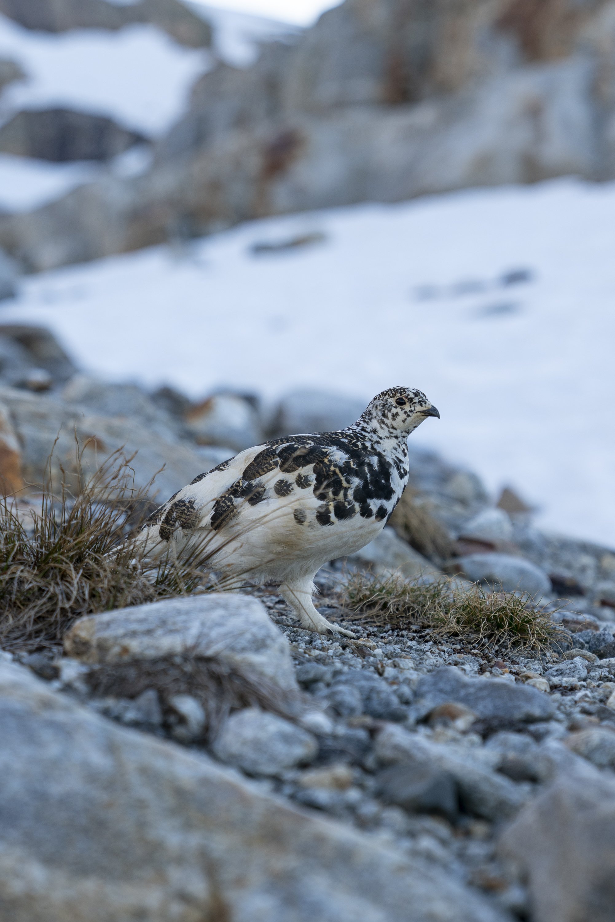
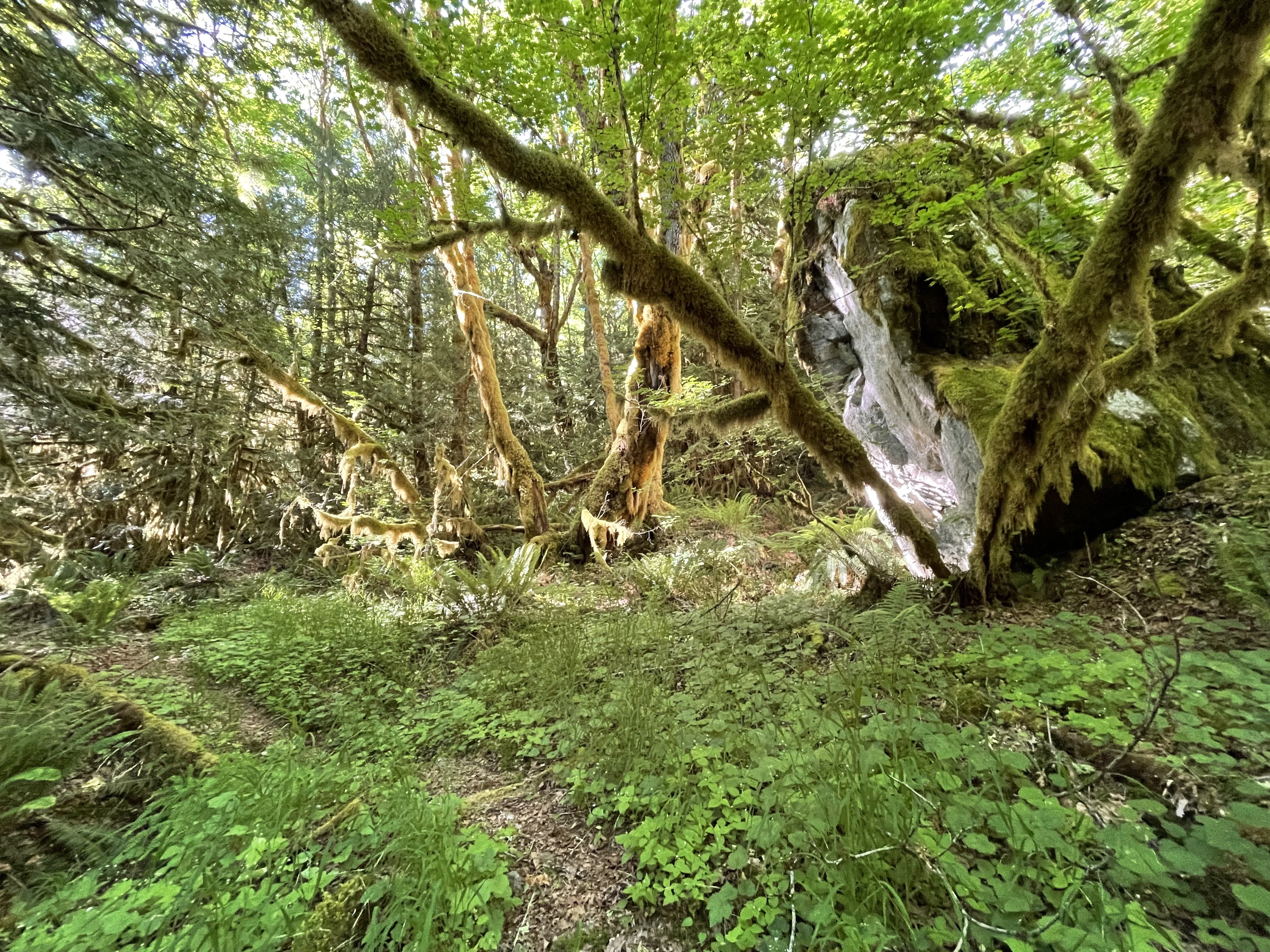
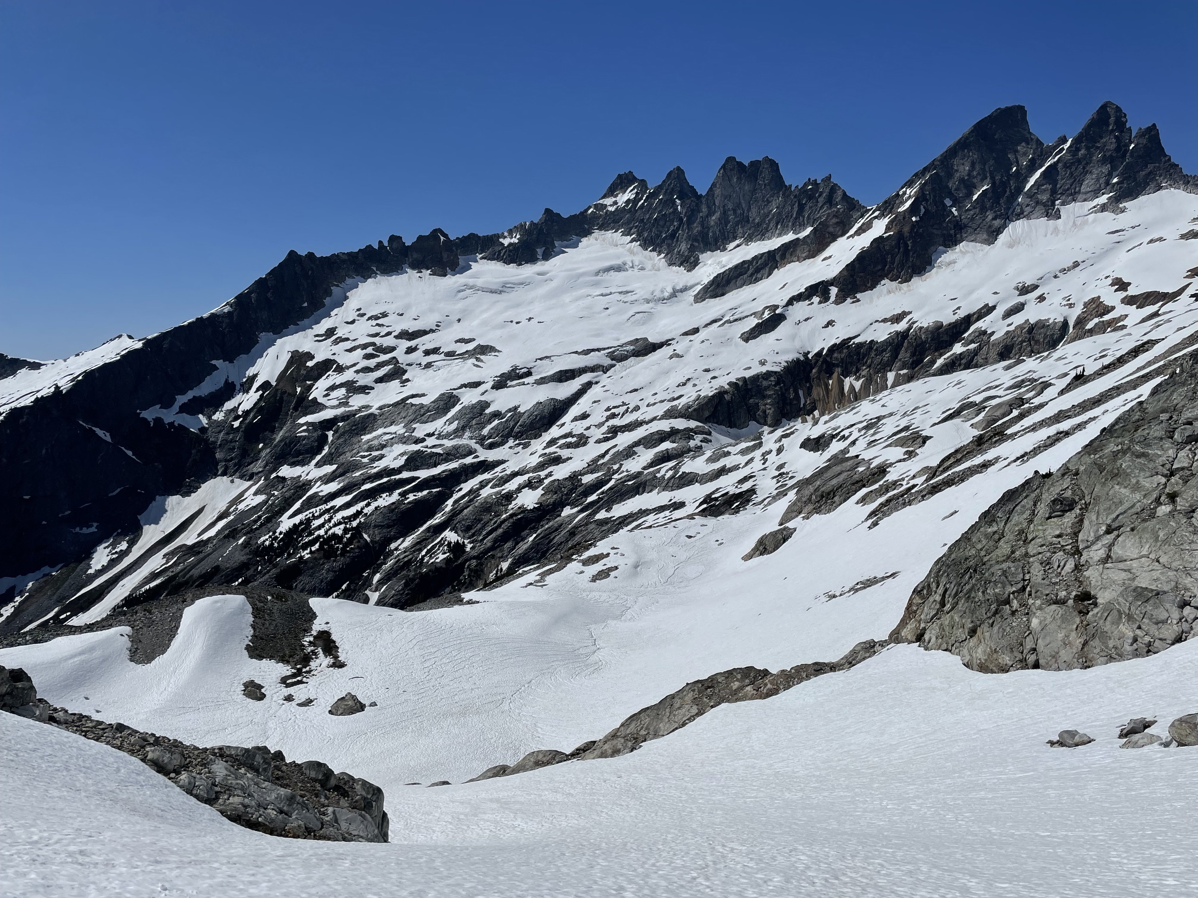
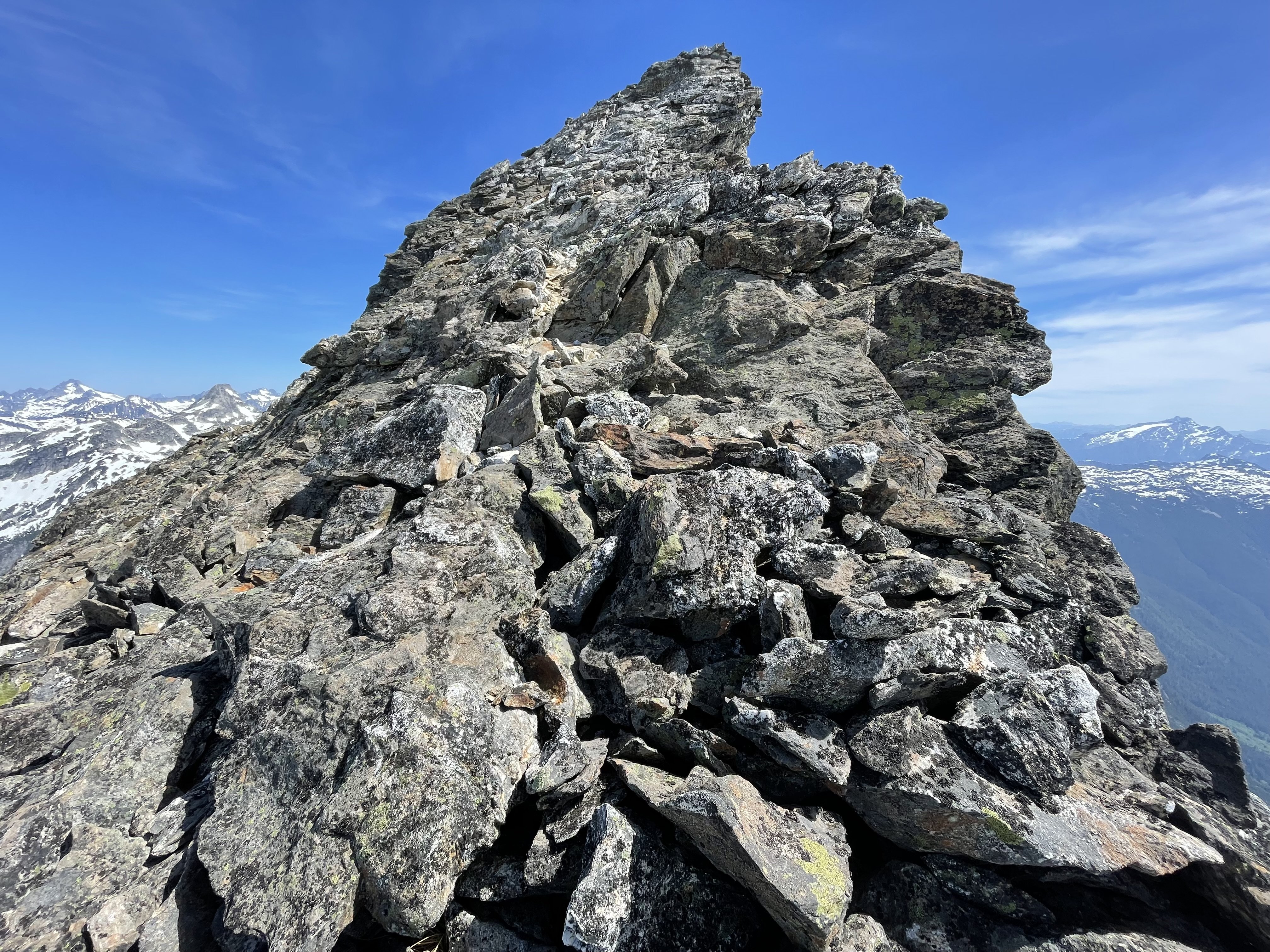
Over a luxurious 3 days, from June 6-8, I soloed West McMillan Spire via the West Ridge. In an era of impressive Southern Picket link-ups and car-to-car climbs, this was much more of your everyman’s Picket trip. And luxurious it was. I’m not sure I’ve ever had this much Type 1 fun in the North Cascades before! Approach Much has been written about the approach to Terror Basin and West McMillan Spire via the Goodell Creek Trail, and with more detail than I’d be able to remember anyways. I’ll add a few notes from the approach about things that I found noteworthy and try to comment on current conditions. Generally, I found the approach to be one of the most pleasant I’ve encountered in the North Cascades. The 4-mile walk in from the parking lot to the turn off up to Terror Basin is a beautiful, gradually rising stroll along the river and through cedar and ferns. It is brushy at first, but then opens up nicely for most of the second half. The trail crosses two creeks, one about a mile in, and the second just before the trail turns up towards Terror Basin. Both are crossed easily by rock hopping right now. I didn’t even get my shoes wet. Score. It took me about 1.5 hours to get to the turn off (at about 1,750 feet) and begin the climb up to Terror Basin. Note that the second creek crossing is your last chance to fill up on water until you get to the heather bench about 3,500 feet above you. Goodell Creek Trail The climb from the turn off up to the heather bench (where the trees begin to clear at around 5,100 feet) is steep but consistent. The trail is always there, no bushwhacking required. If you find yourself thrashing in the woods or searching for evidence of the trail, you’ve probably lost it - backtrack and try again. I did find it much easier to lose the trail on the way down (many times) than on the way up (zero times). Something something rushing back to an air-conditioned car. There is one notable spot on the descent where it’s very easy to lose the trail: at about 4,000 feet you emerge into a small boulder field from the right (when descending) and the trail continues along the right border of the boulders before exiting at the field’s lower right corner. My instinct suggested continuing straight down or leftwards across the boulder field but these are both wrong. I found the notorious root scramble at 4,900 feet to be very reasonable and might not have thought twice about it if not for the discussion in many previous trip reports. It’s little harder to get back down than to climb up but the roots are strong and the feet are good. Almost immediately after the scramble, you break out onto the heather bench with glorious views of Terror Basin and the traverse you have to make to get to the access gully and notch. It took me about 2.5 hours to get to the bench from the turn off. Right now snow cover begins at 5,100 feet and is pretty consistent from there all the way in to Terror Basin and beyond. I’d estimate that about 80% of the route from the heather bench to the notch leading into Terror Basin is covered in snow. I found that having a GPS track of the route to follow was very helpful because much of the trail and its cairns are buried. Roughly 2 hours from bench to notch. The descent from the notch into Terror Basin is nearly all snow except for a very narrow band of rock slicing across the gully just below the notch. The classic campsites in Terror Basin are all currently completely snowed in. Terror Basin from 6,200' notch Notch from Terror Basin Camping The only off-snow camping I could find was just before the crossing of Terror Creek, on the rock bluffs on the east side of the outlet of the glacial lake. There are several small sites for 1-2 person tents here. The views across to Mt. Triumph and up to Inspiration and McMillan are simply stunning from this perch. Some trickles of water run through there right now, but the snowfield feeding them will likely melt away later in the season. It was about an hour of down sloping traverse, all on snow, to get from Terror Basin Camp to the campsites by the glacial lake outlet. Camp by Outlet Moonset over Mt. Triumph Rock Ptarmigan? Inspiration and McMillan from Camp Sunset Climb Since I planned to stay another night in Terror Basin after climbing West McMillan Spire, I had a relaxed breakfast and left camp at the very civilized hour of 7:45am. After a few minutes I was down to the glacial lake outlet and some minimal scrambling on rock on the west side of the outlet brought me to snowfields beneath Inspiration and McMillan Spire that I took all the way to the base of the gully that leads onto the McMillan West Ridge. The gully is still filled with snow all the way to the saddle, though the snow has narrowed to less than 10 feet across near the top. It felt like about 45 degrees at its steepest angle. Crampons and a light ice axe were nice to have. Arriving at last in the saddle is breathtaking: Mt. Fury, Luna, and the rest of the Northern Pickets dominate to the north, with Redoubt beyond, while Triumph and Eldorado and Glacier Peak loom to the south. Inspiration Peak rises jarringly from the saddle and the route up McMillan arcs up and out of view to the east. The climb up the ridge begins on well-trodden but very loose scree switchbacks before steepening into a section of larger chossy rocks. After a slight depression in the face that still held a snow finger when I climbed, the rock steepens again but is better in quality than lower on the route. The final 200 feet to the summit ridge line were incredibly airy and felt solidly like Class 4 climbing to me. The 5,000 feet of exposure down to McMillan Creek to the north will be hard to ever forget. Finally, I followed a series of cracks in great rock for about 40 feet that led to a final scramble over large blocks onto the knife edge ridge to the true summit: a walk through the sky. The summit block is an unbelievable place, large enough for perhaps two people, towering 3,900 feet above Azure Lake and 5,000 feet above McMillan Creek. It had taken me a little over 3 hours to summit from my camp. I spent another hour and a half sitting on that summit in awe. The final 100 vertical feet onto the summit ridge The descent was more challenging than I’d anticipated from prior trip reports and from my own ascent, both in terms of navigation and difficulty. It’s helpful to carefully remember your route through the final 200 feet of ascent to be able to backtrack easily. From there, following the path of least resistance worked well. I trended towards skier’s left on the descent because the exposure to the right felt too great to me for down climbing. After this careful crawl off the peak, I was back at my stashed crampons and ice ax in the saddle, down the gully, and jogging down the snowfields in hot afternoon slush. A nice warm bag of Swedish Fish awaited me when I arrived back to camp in the early afternoon. Exit The retreat back to the car the next day was largely uneventful. I left camp at 6:50am in order to reach the notch before the sun could hit the snow. I did encounter a black bear in the Terror Basin Camp area. He seemed uninterested in me so I carried on quickly up the steep snow to the notch (hoping that it was too steep for him to follow?). It took me just over 7 hours to get out from the glacial lake outlet camp to the parking lot. Rarely have I enjoyed a stretch of days in the mountains as much as I enjoyed this one. I hope others find the time to explore this part of the range this season, it is truly special.1 point
-
1 point
-
I'd be up for turning over to USFS and managed as wilderness. They would need to retain limited entry for the really popular areas, but I bet the numbers could be increased a bit with some more toilets. USFS does a great job with way more people in the Enchantments. Might slow down the out-of-towners if it wasn't a National Park.? And, to be clear, this will never happen. But fun to blather about it.1 point

