Leaderboard
Popular Content
Showing content with the highest reputation on 08/28/22 in all areas
-
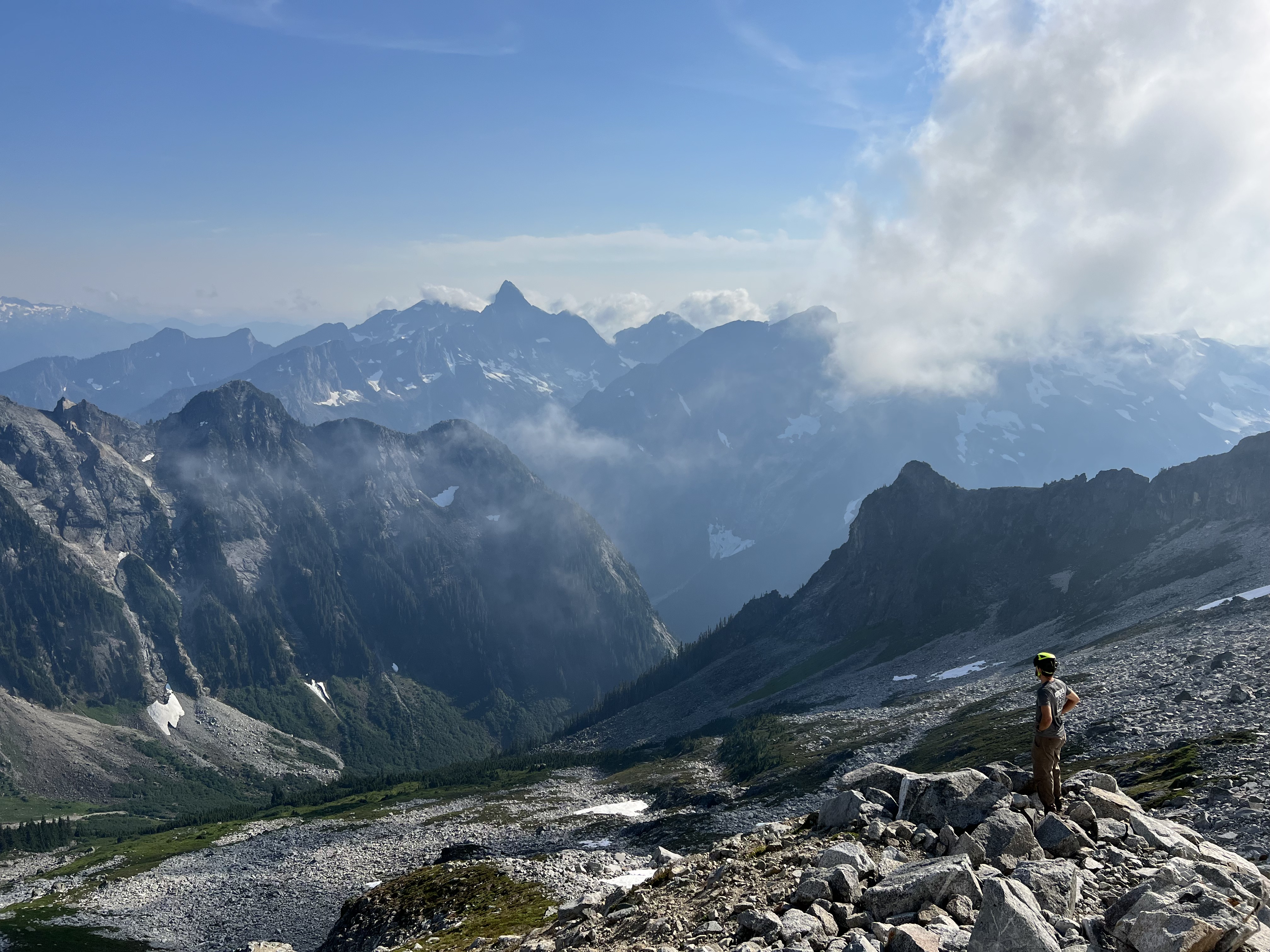
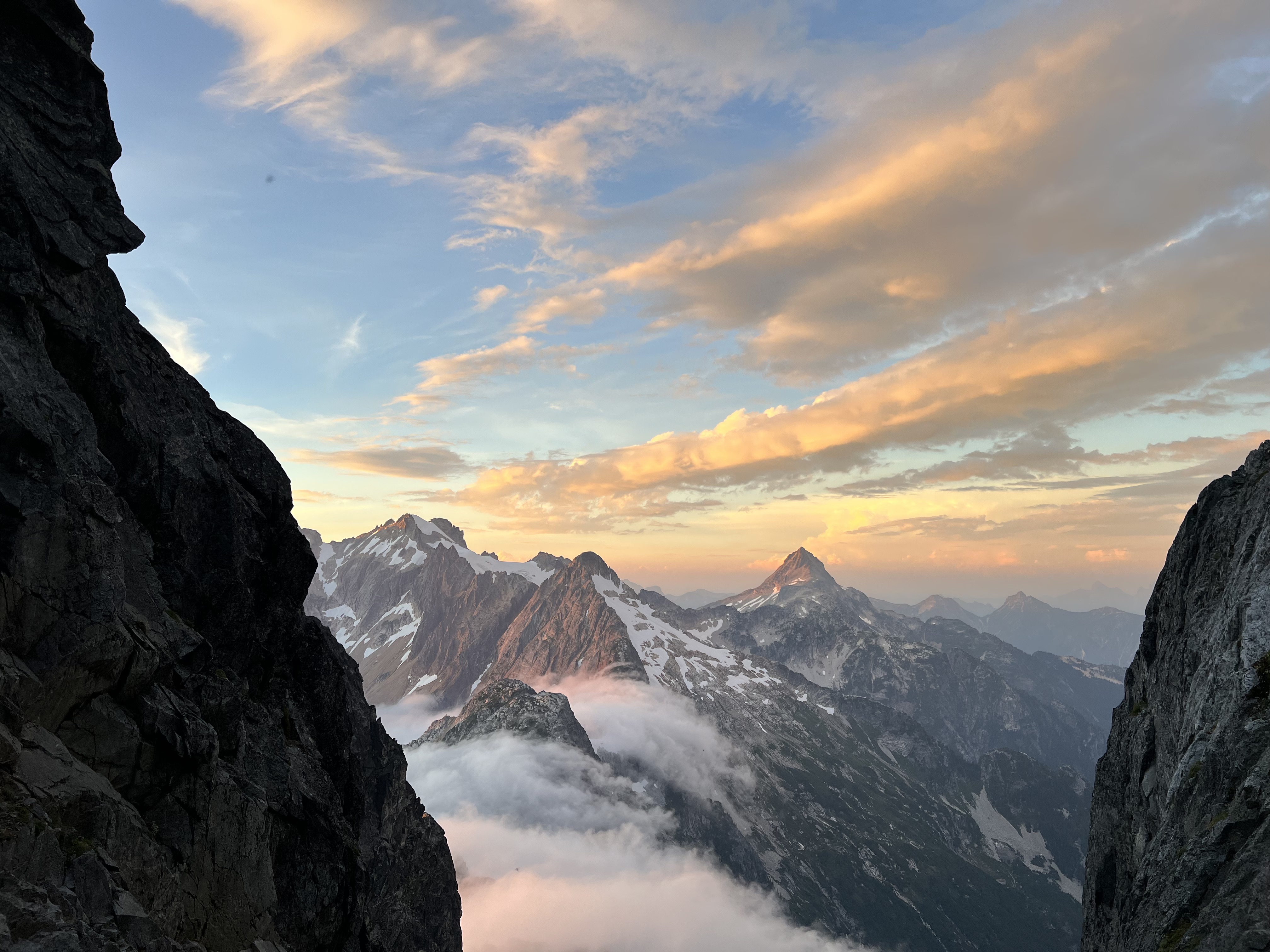
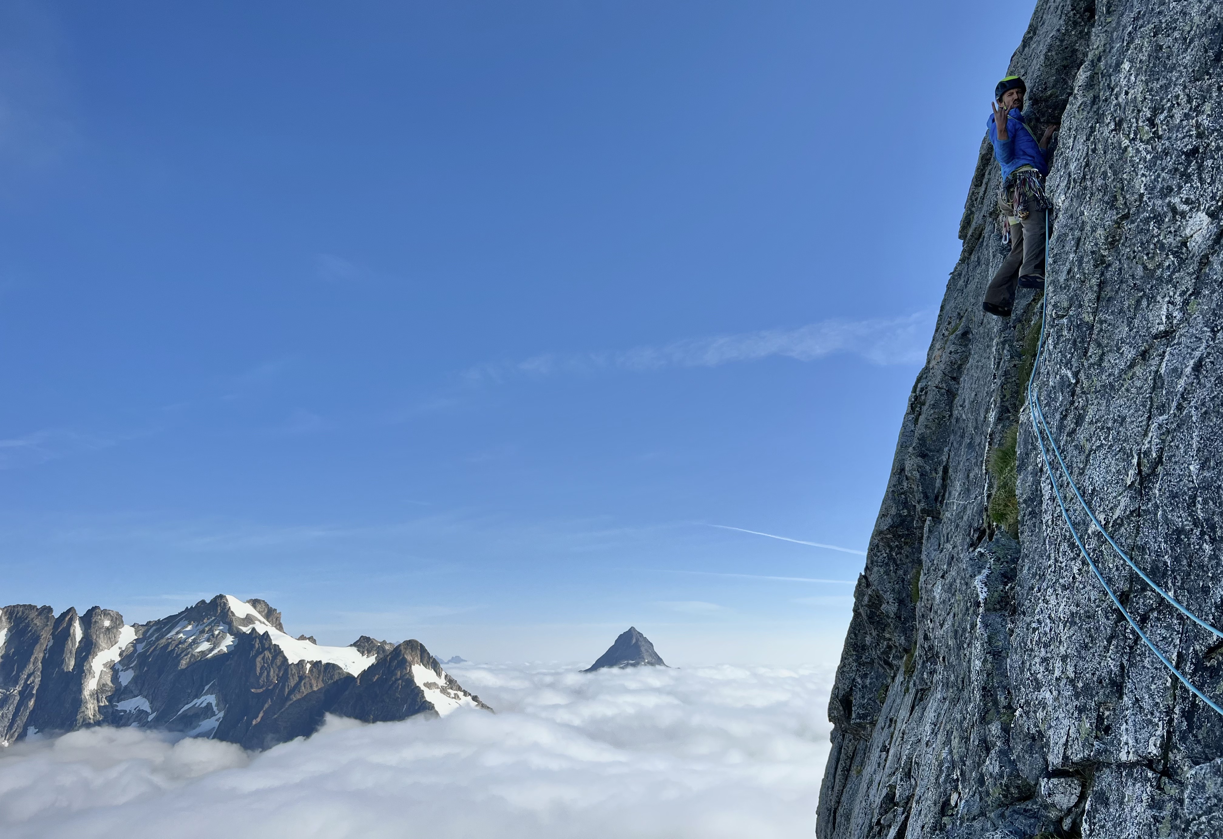
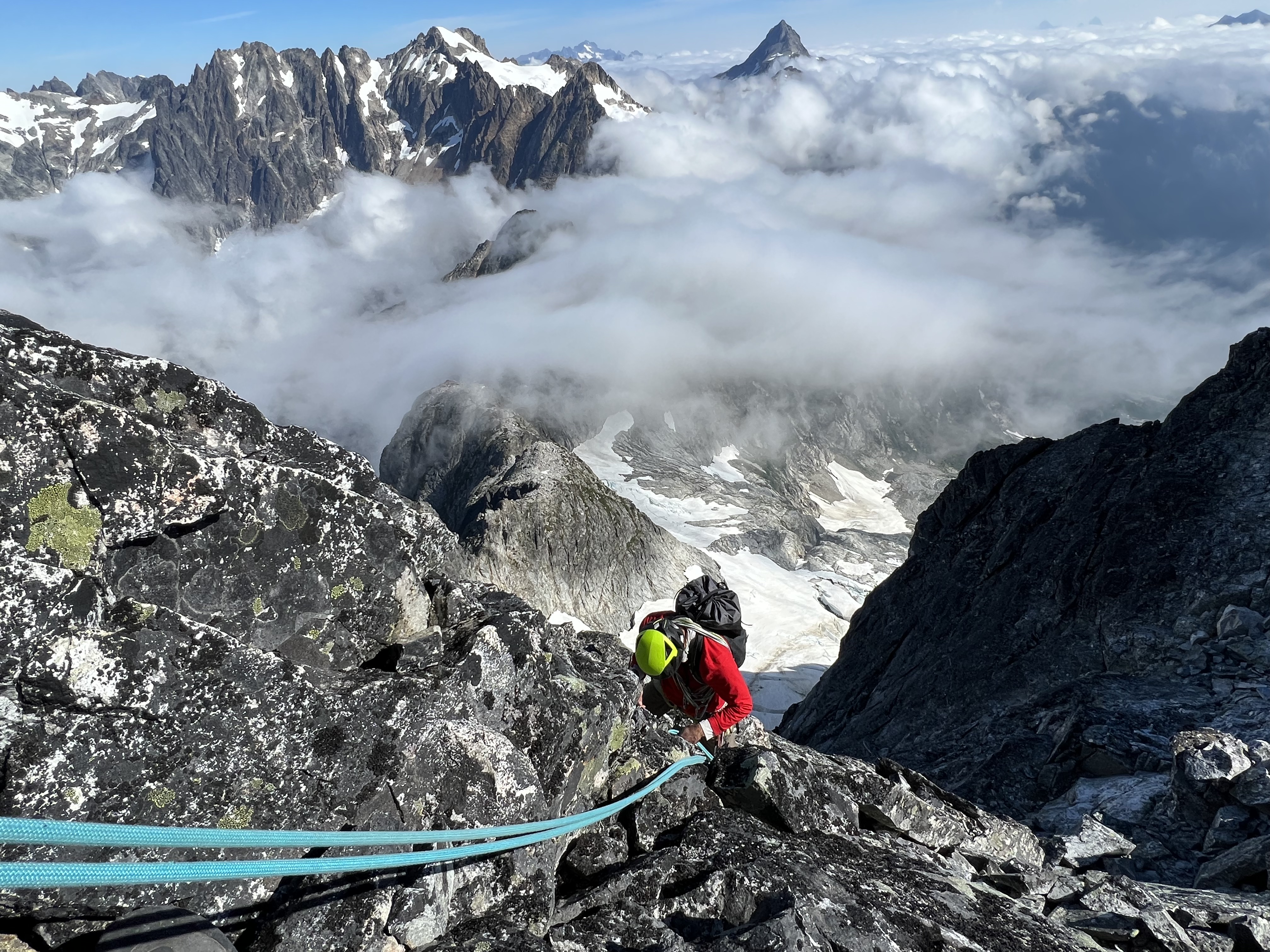
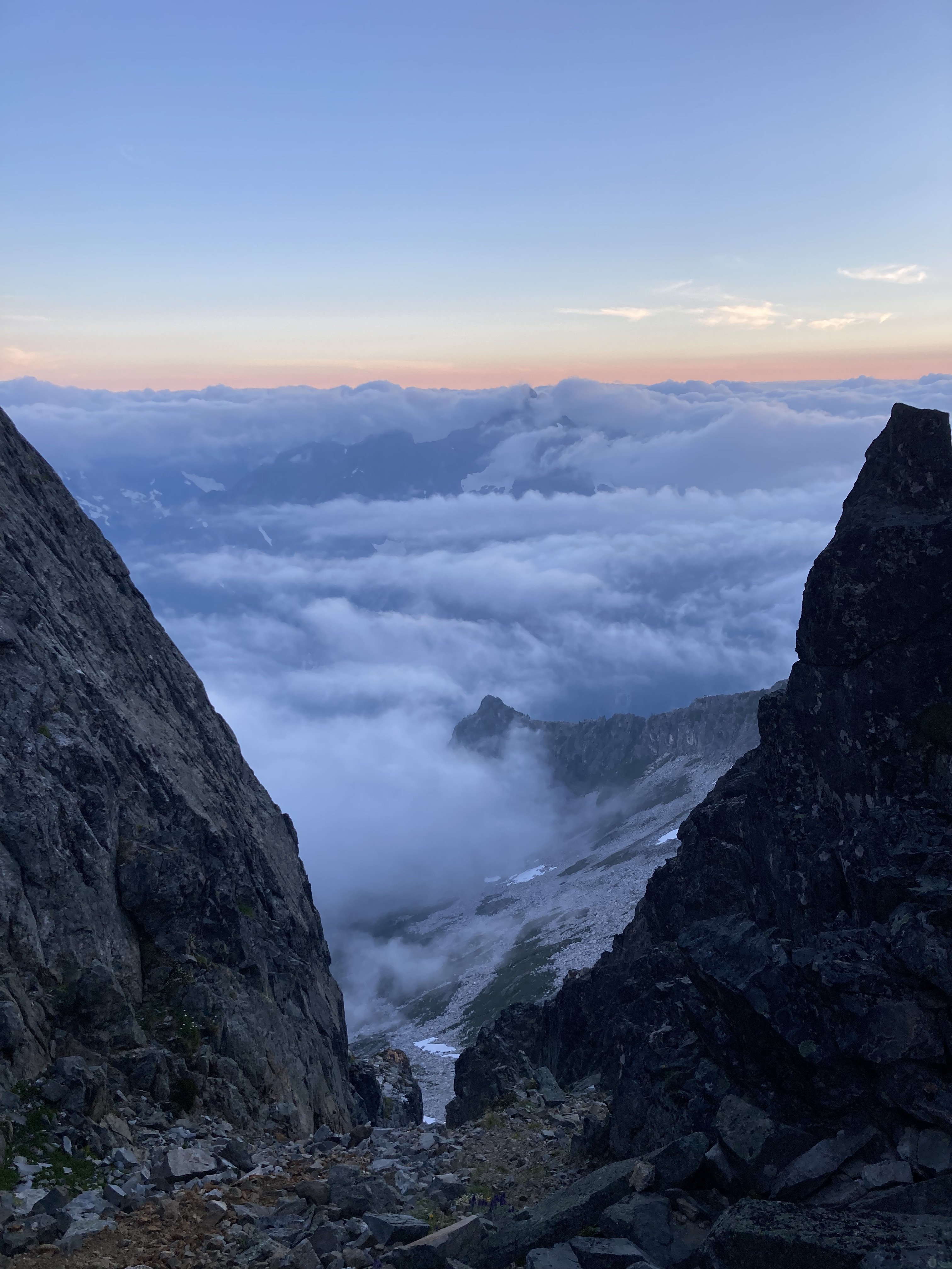
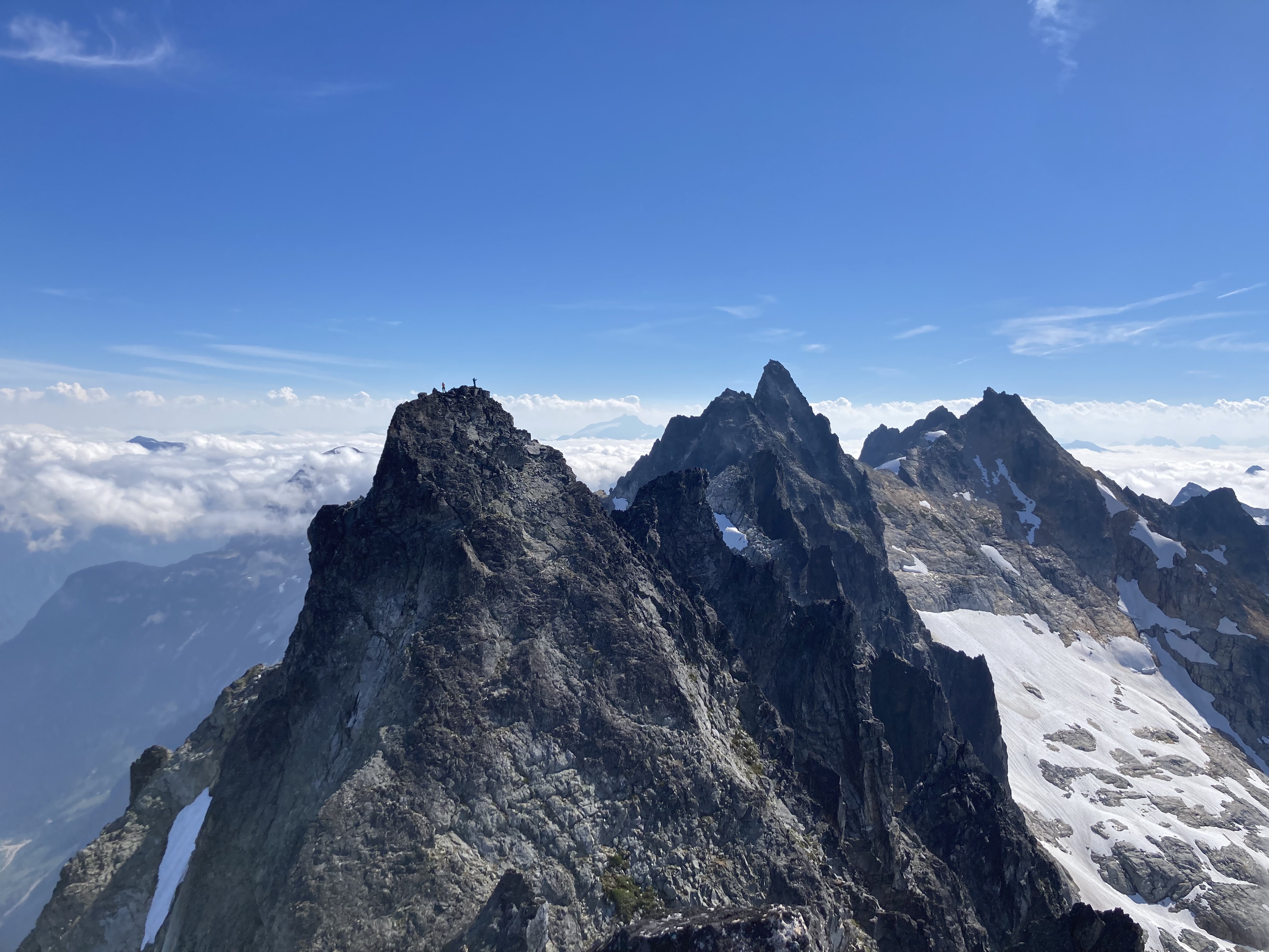
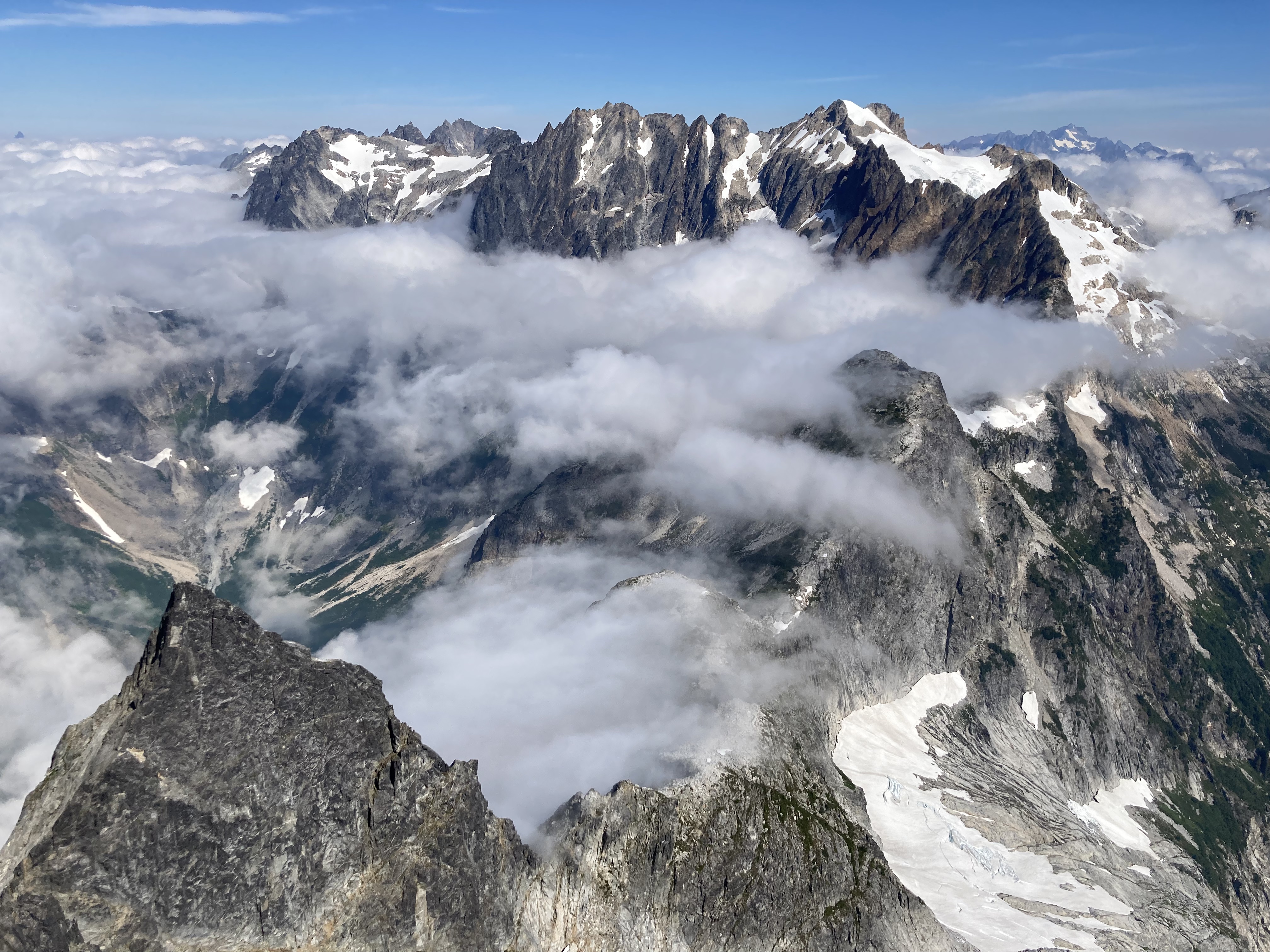
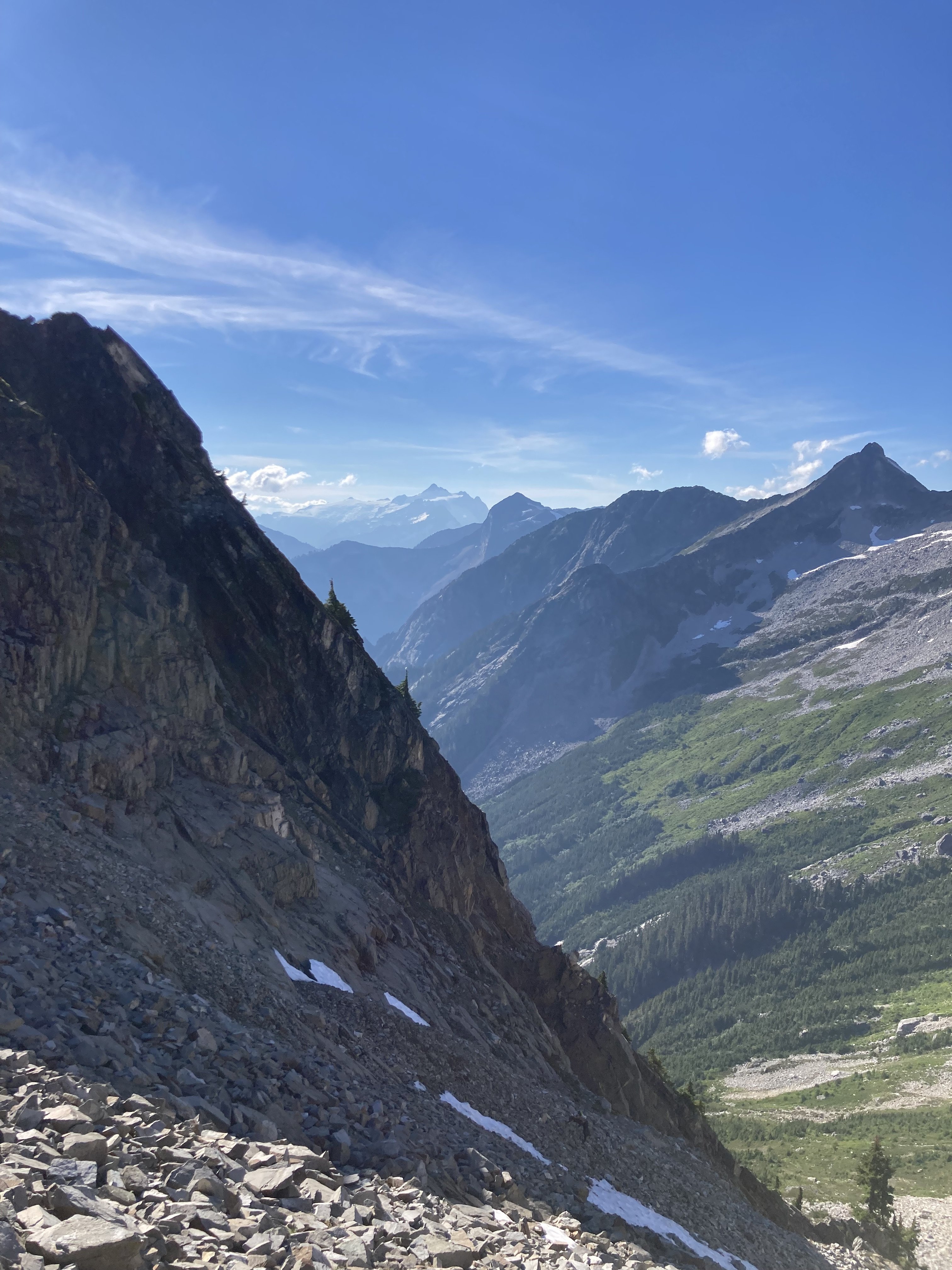
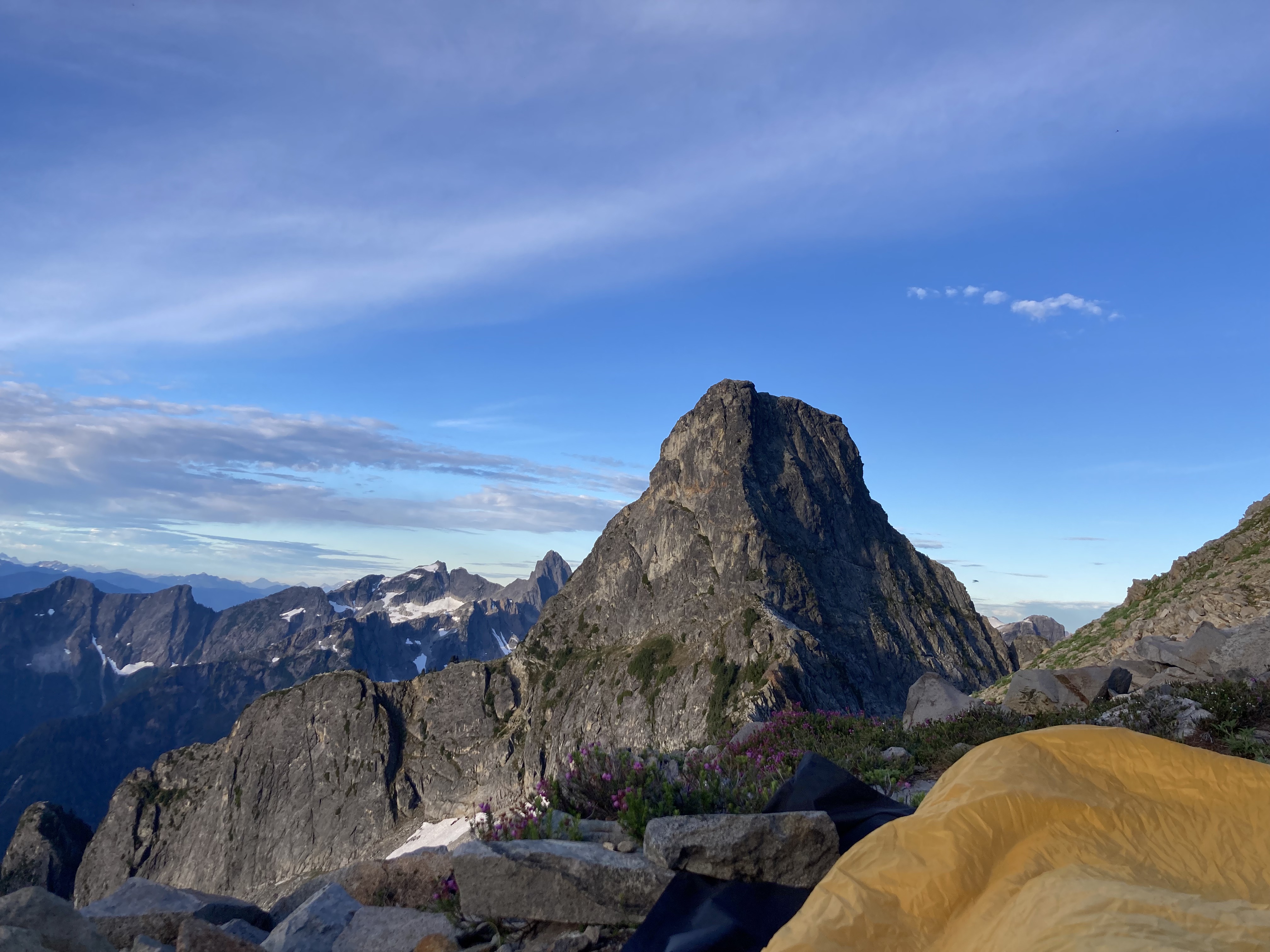
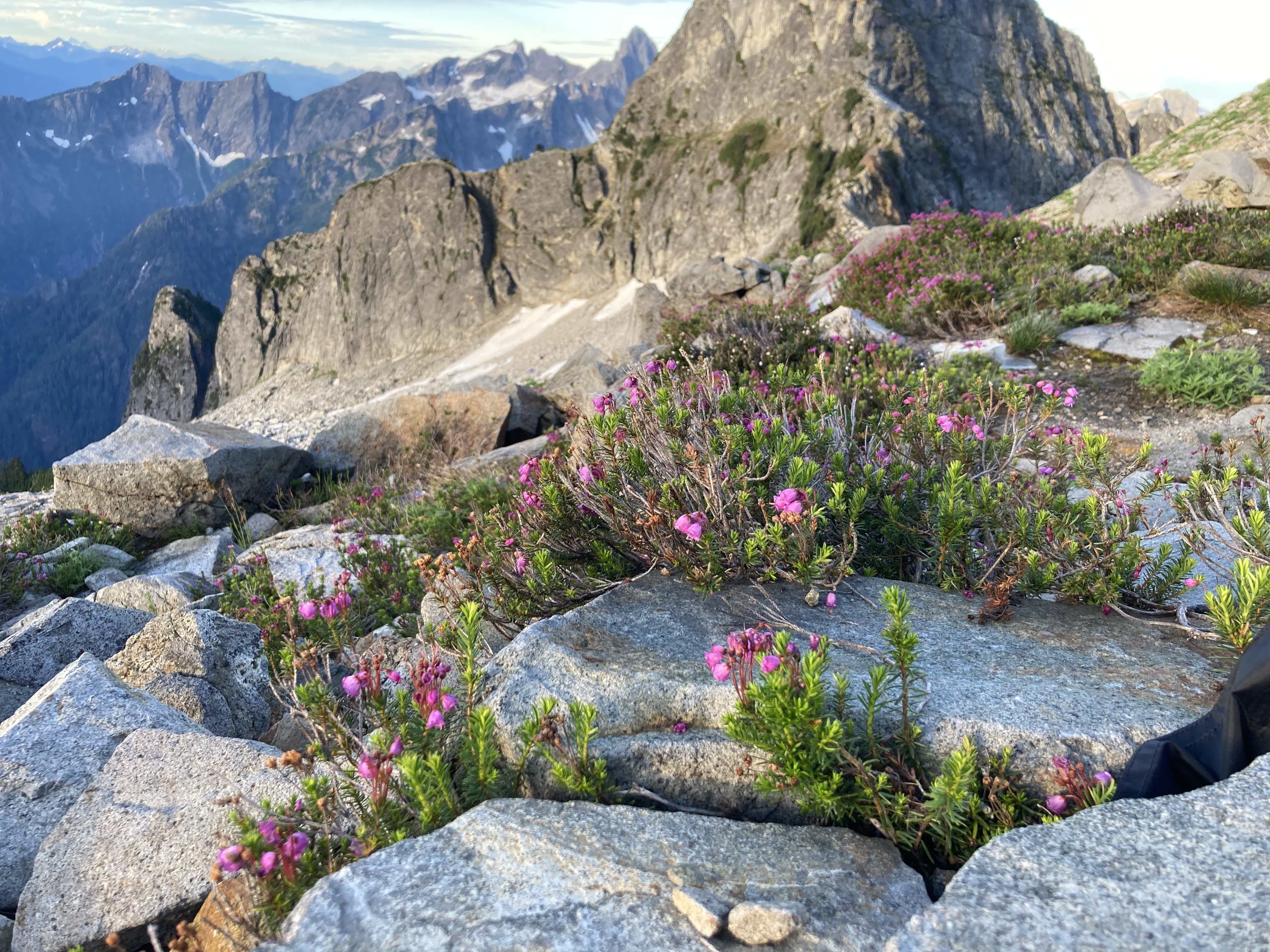
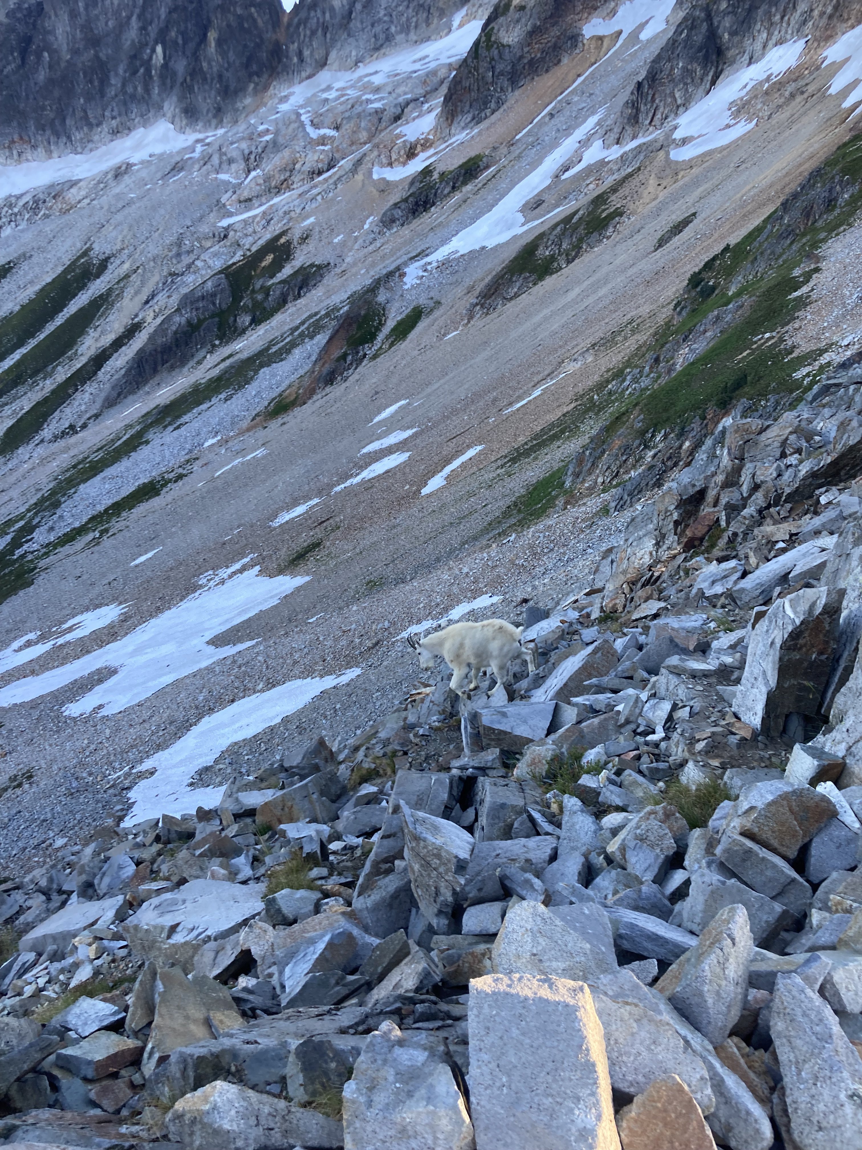
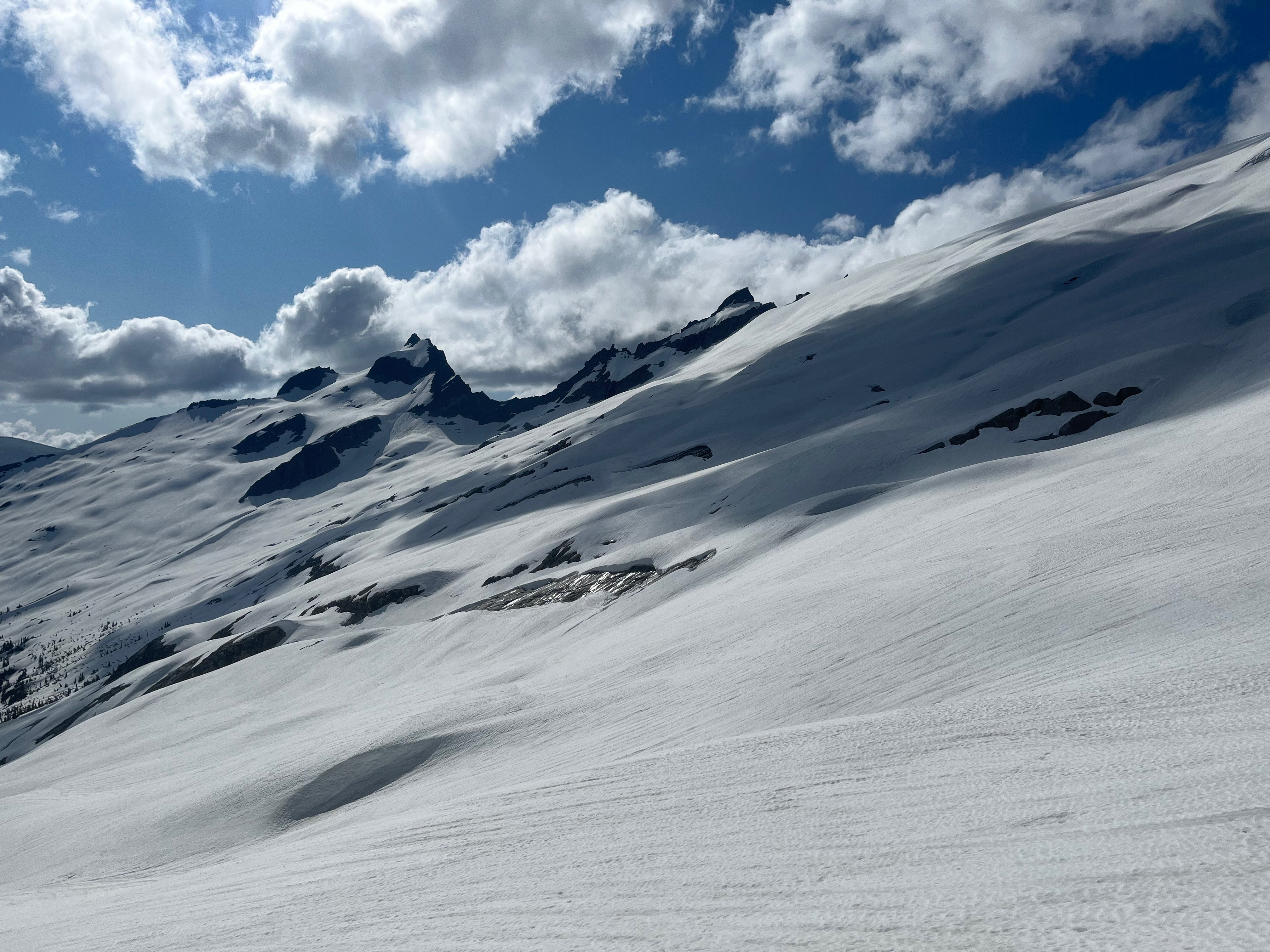
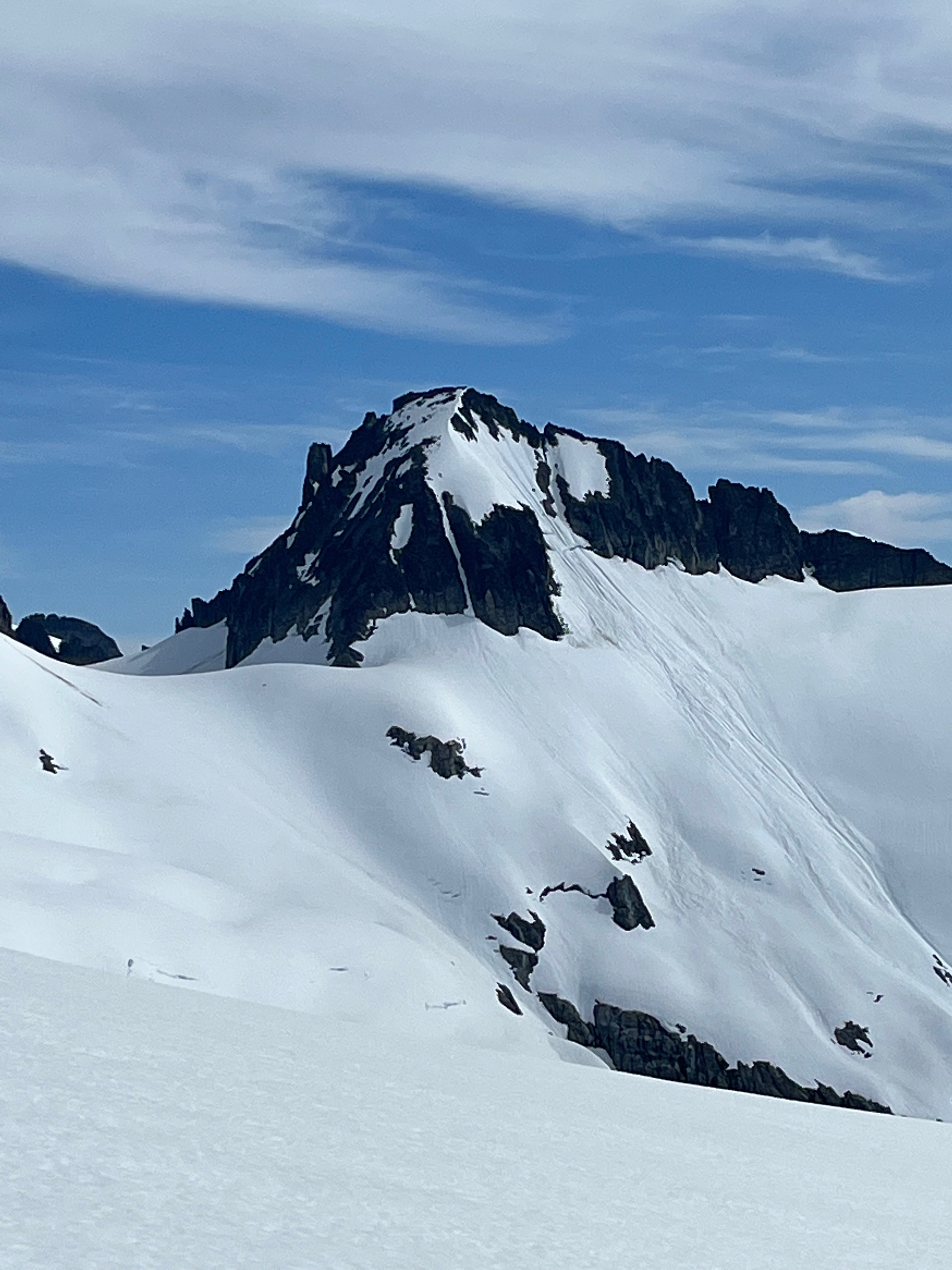
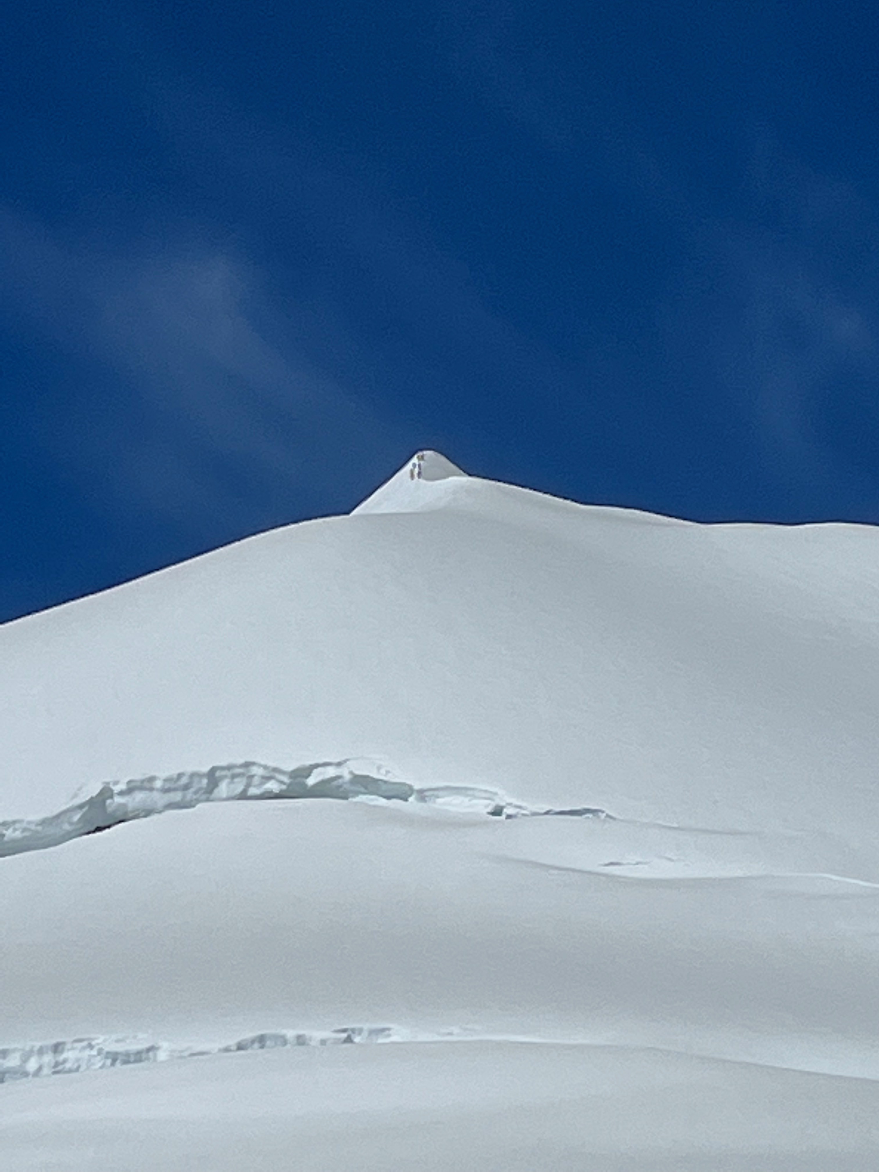
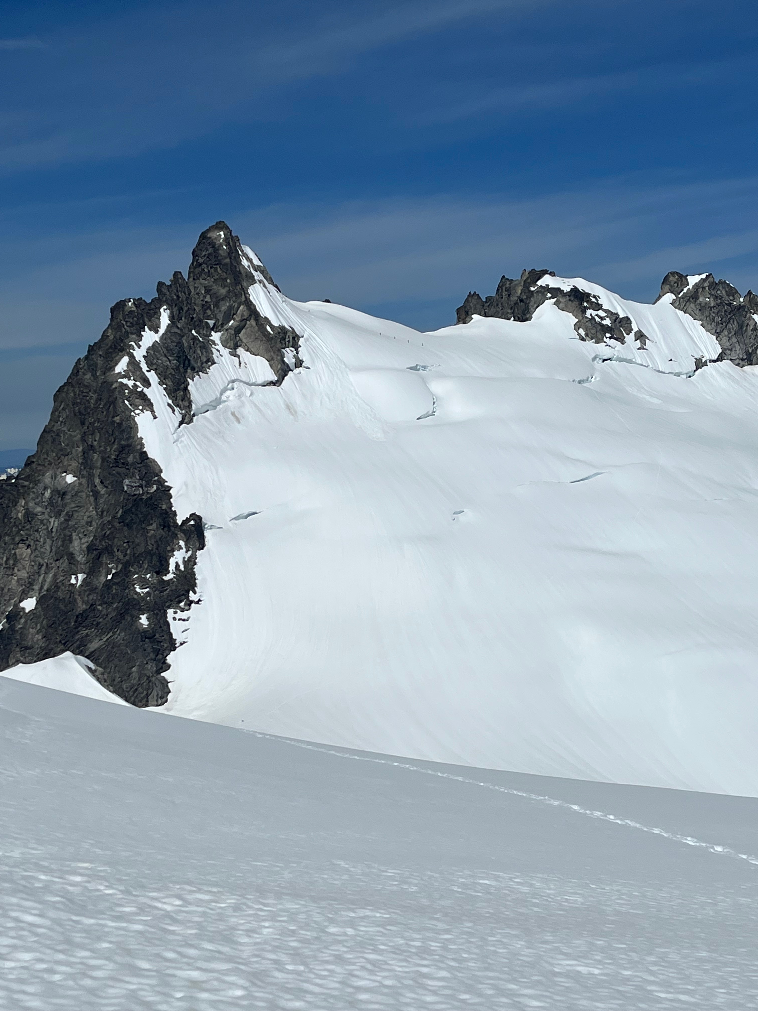
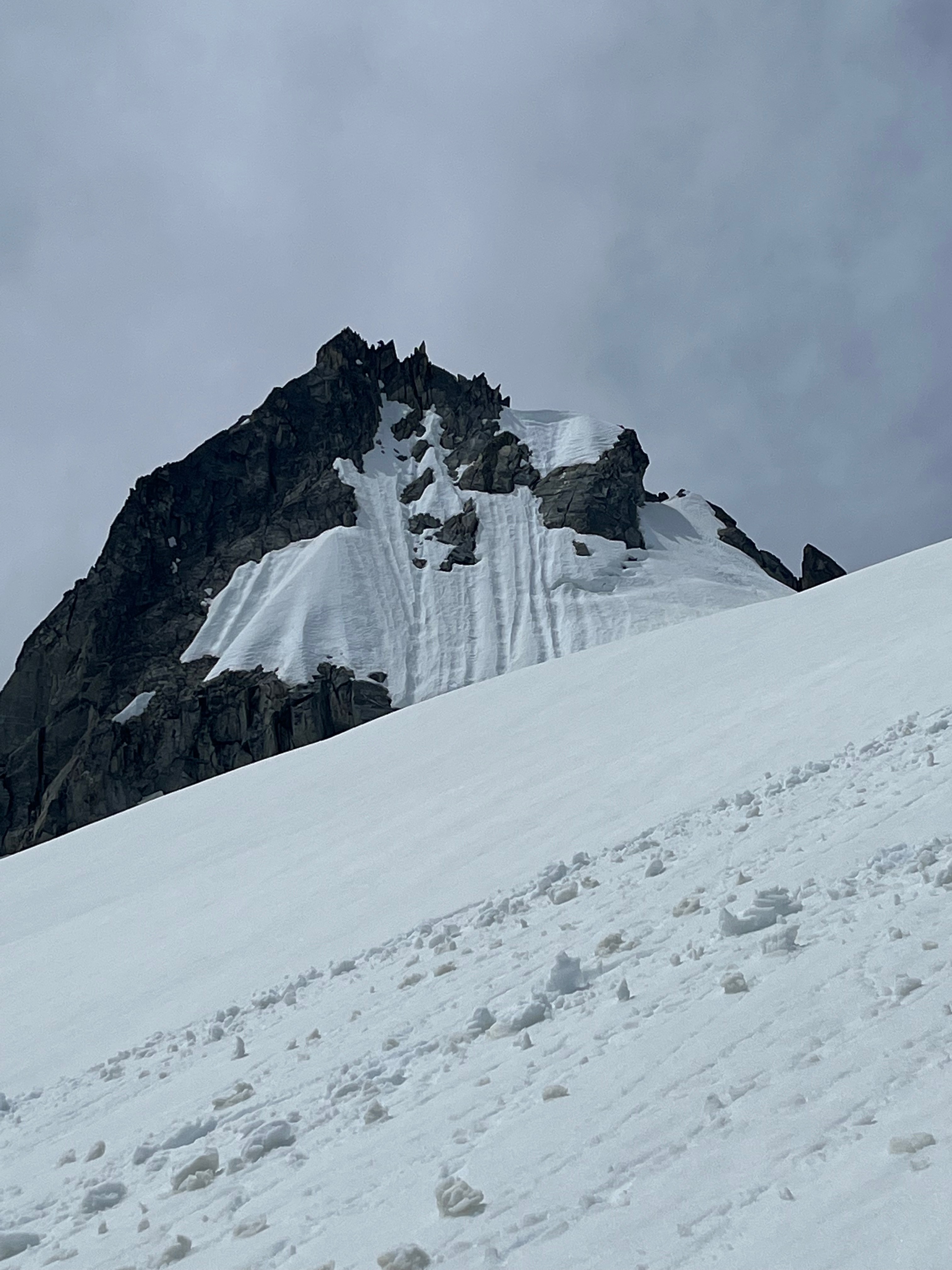
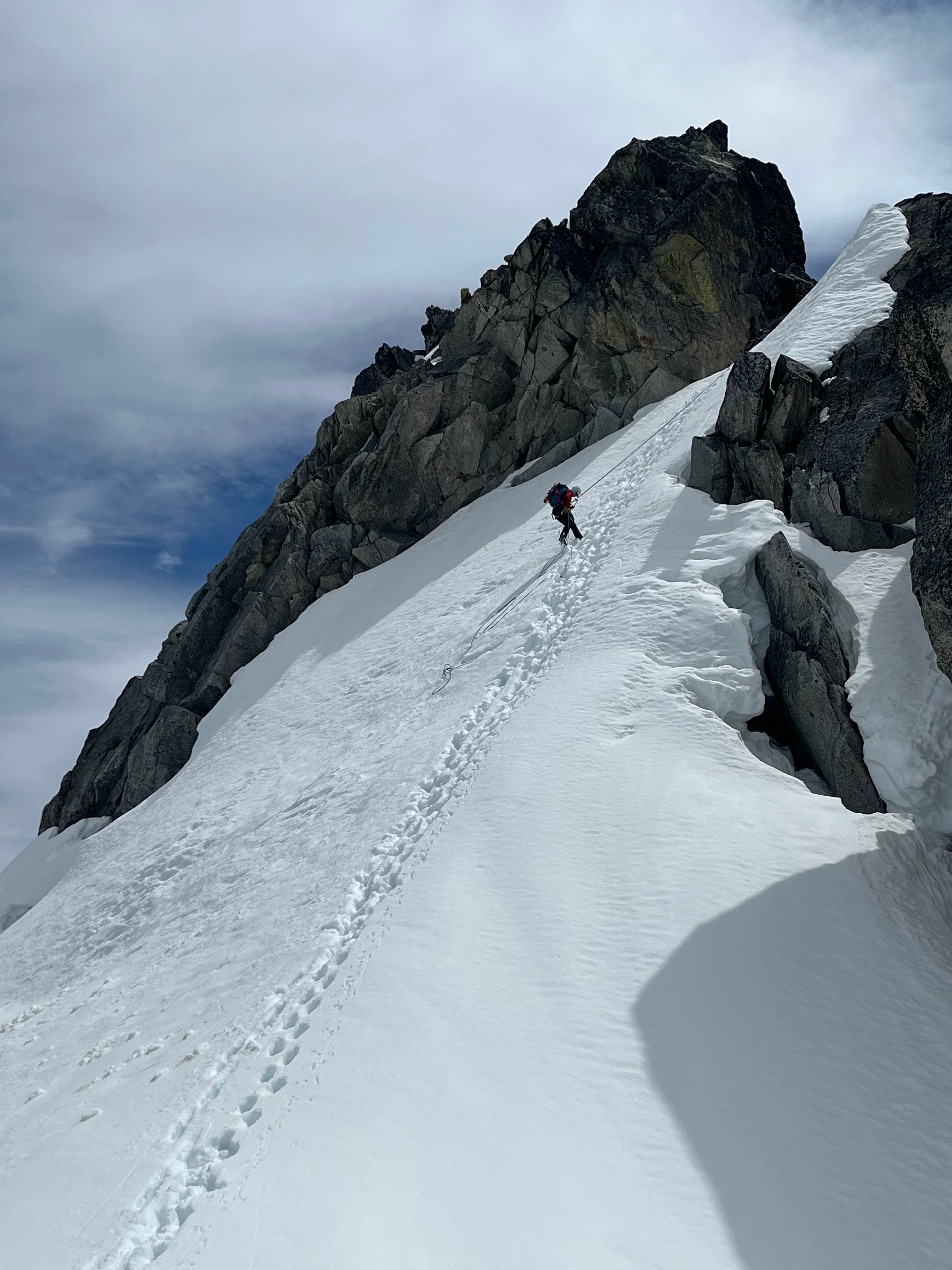
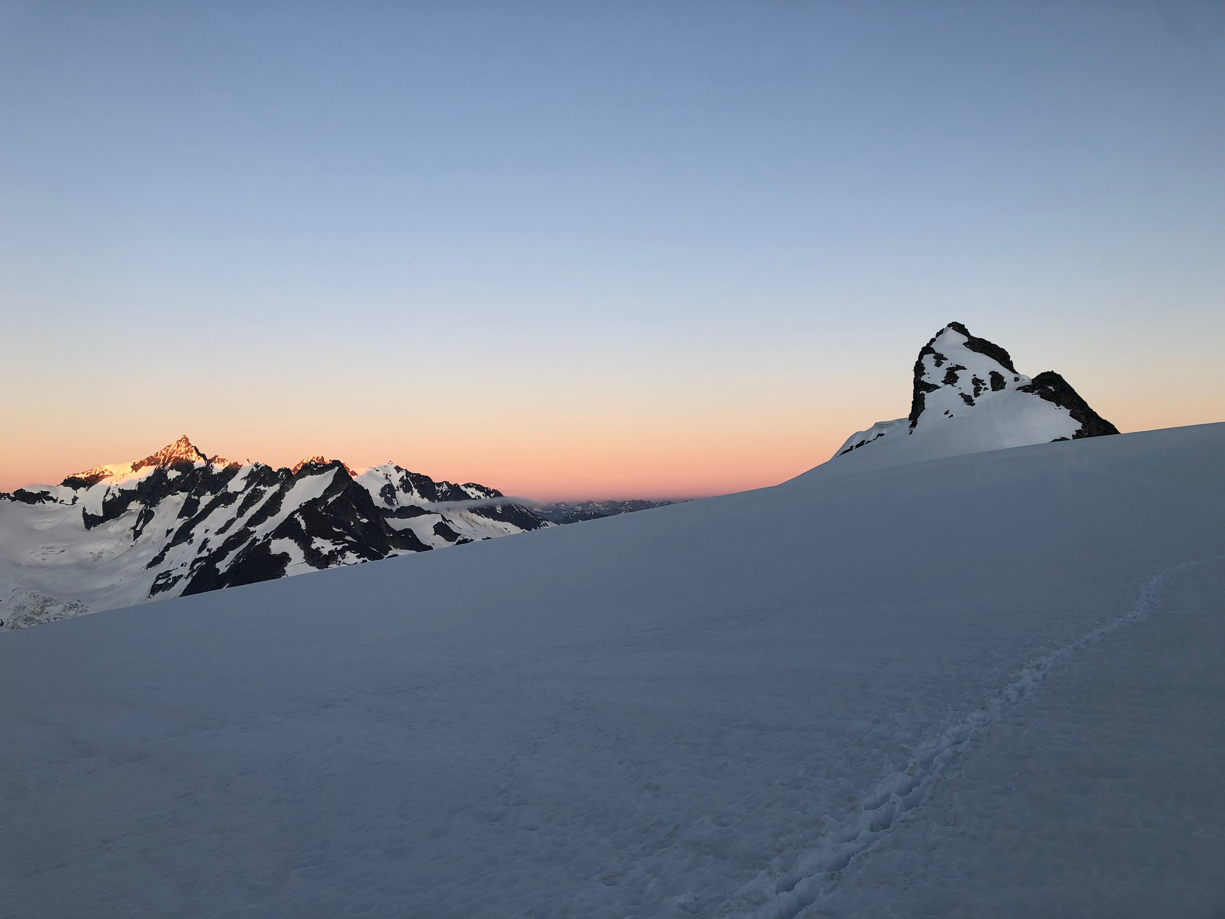
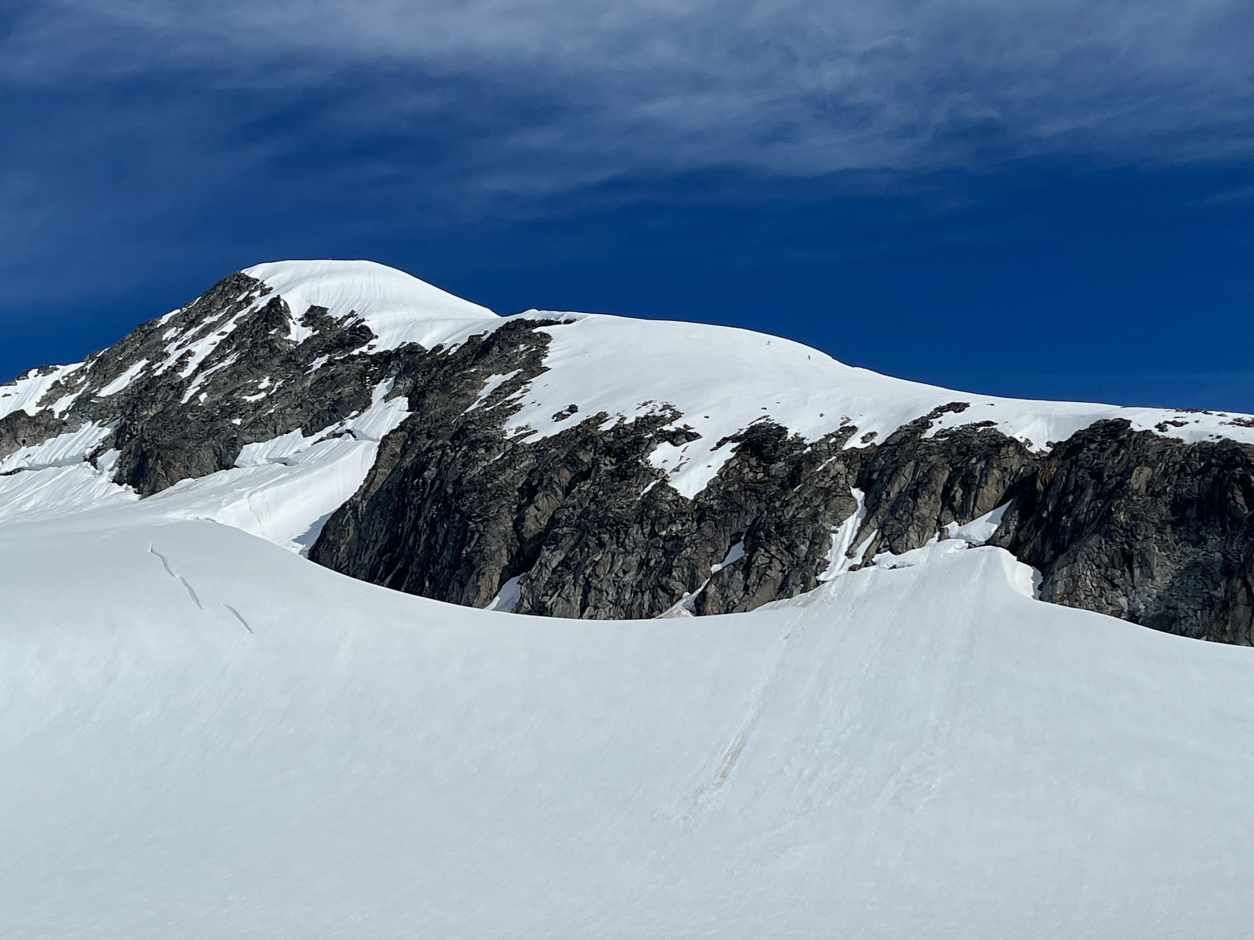
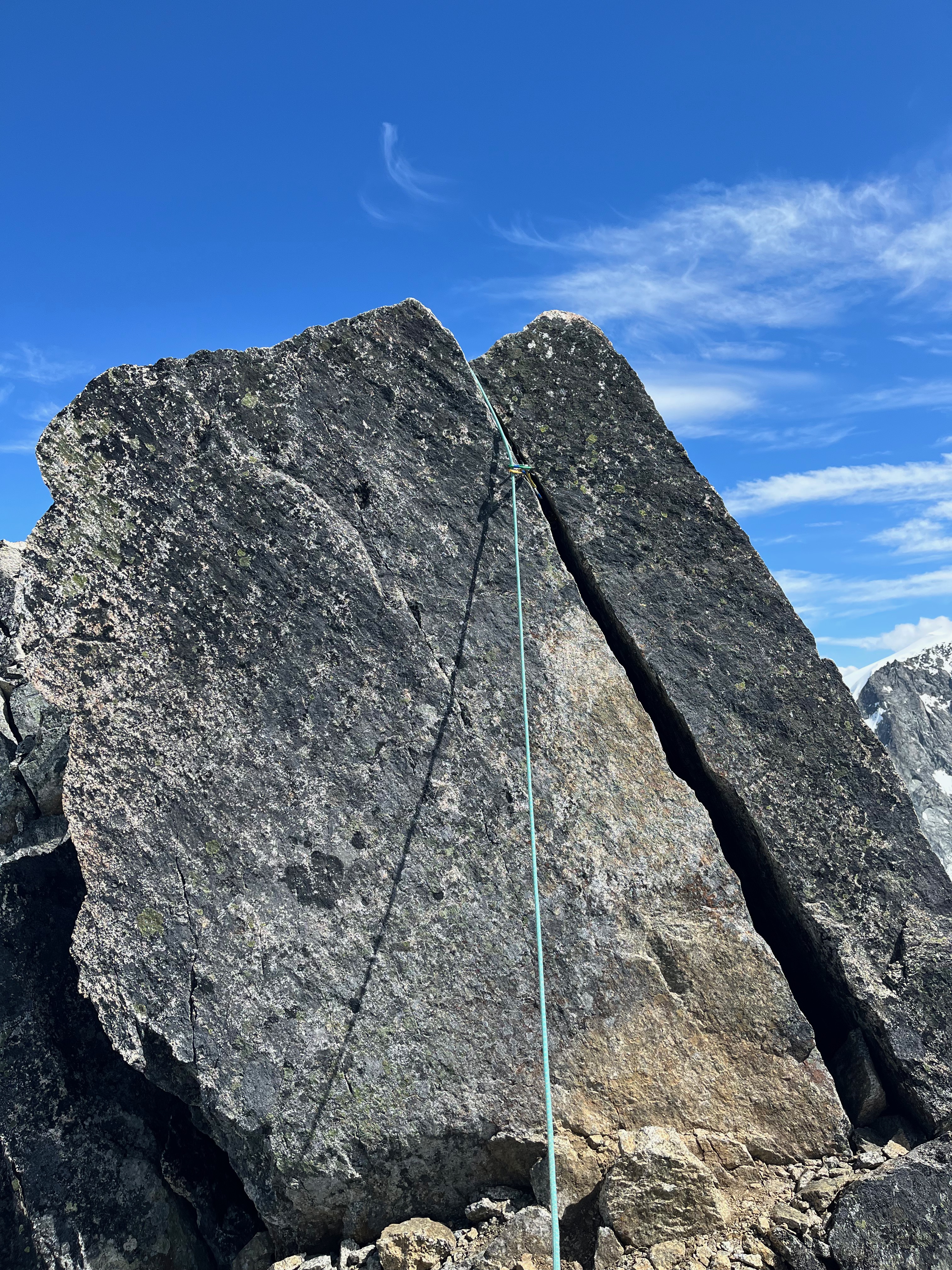
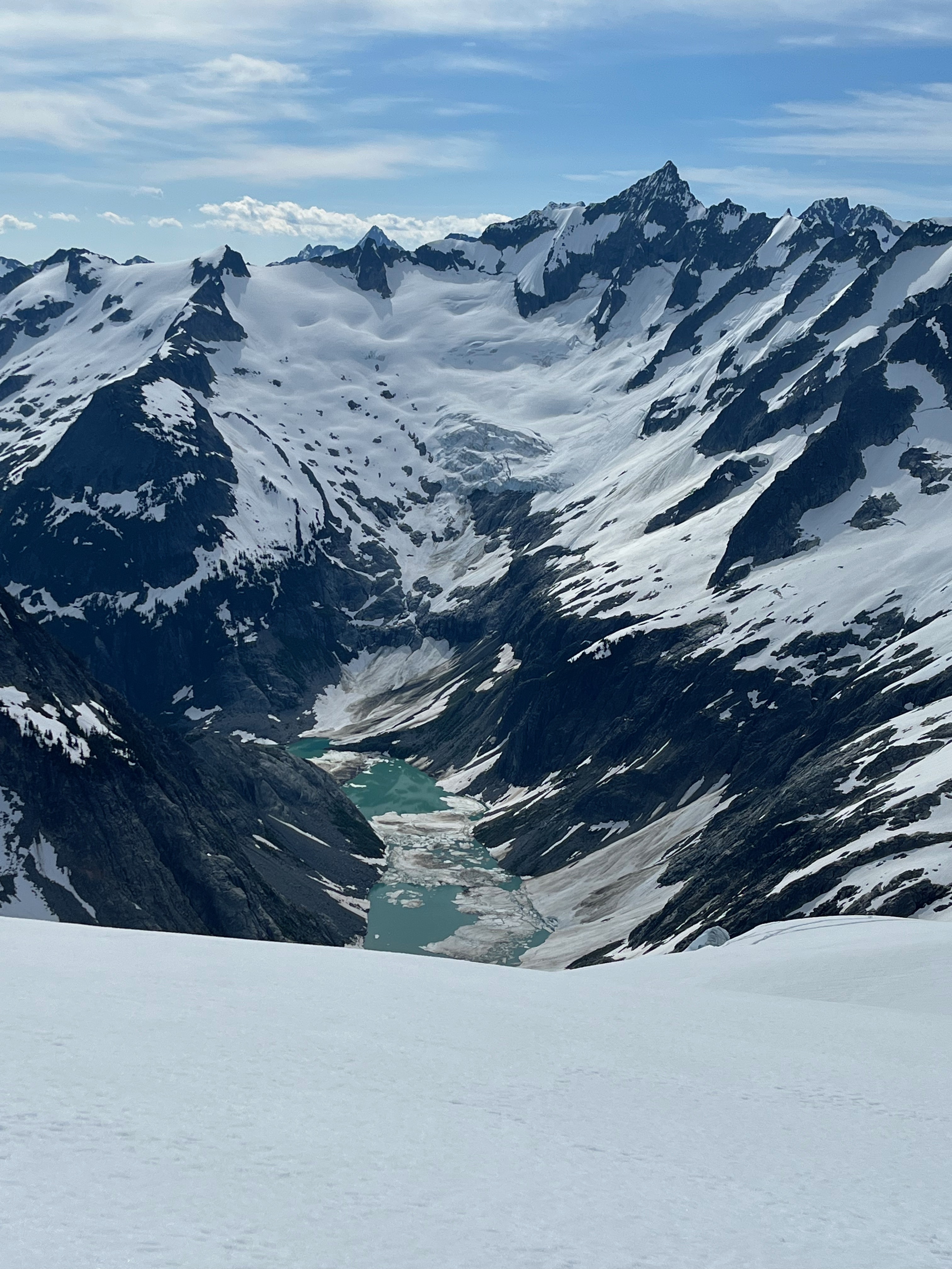
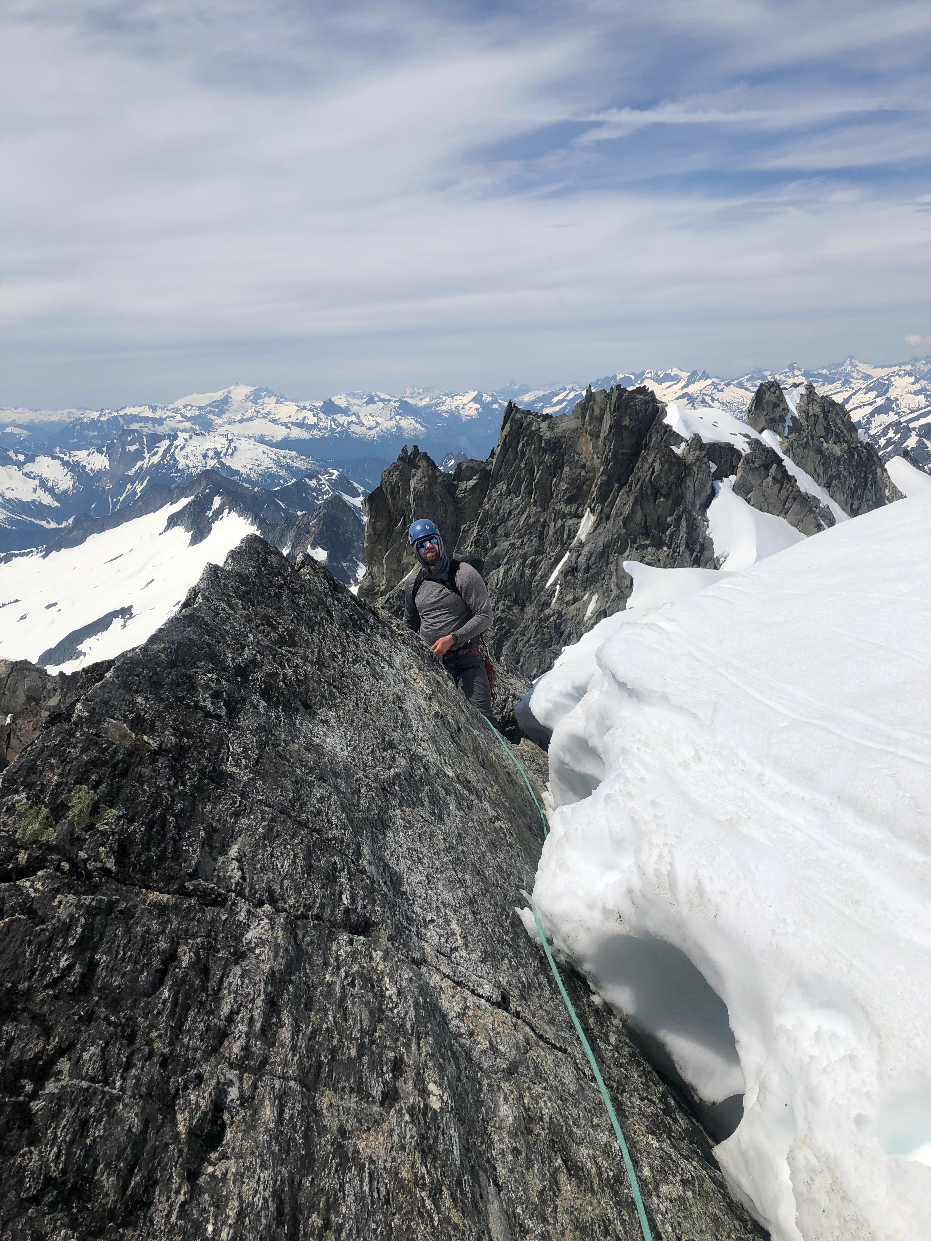
Trip: S Pickets - Himmelhorn - Wild Hair Crack? Trip Date: 08/20/2022 Trip Report: Went to the Pickets with Adrien Costa. Our plan was to approach to the Otto/Himmel col day 1, rap and climb N Butt of Terror and traverse the ridge back to the O/H col day 2, or maybe bivy on the Blob just past Ice Station Dark Star and finish the next day, then hike out. We made it to the col first night but it was definitely a lot of moving. The O/H col approach gully is pretty precarious snow right now (thin, 5m high ridge of snow, undercut n many places). The approach down to the rap anchor for the Mustard Glacier access was a heinous steep sandy choss gully over a drop-off to similarly covered ledges. We could have made an earlier rap station to avoid the worst of it but it looked kinda awful either way and I spent the night thinking about whether or not I really wanted to do it. In the morning a cloud layer was just below us and we could not see the rap anchor or the glacier. After waffling for an hour while eating breakfast the clouds were still there. We didn't want to risk a low vis navigation on the Mustard Glacier so we decided to just climb Wild Hair Crack since it was there and looked fun. We climbed the left of the two cracks to the base of the OW pitch and then moved left to a big groove instead of the OW as we only had gear to 2"... 3x 50-60m pitches lead to the summit ridge and then we traversed to the summit in a short simul block. During this time the clouds cleared and we could see that the glacier was broken off back to the toe of the N Buttress of Twin Needles. We didn't really want to walk under the ice cliffs or try hop blocks right at their edge to get to the N Butt of Terror so we ruled out going off the N side completely. We rapped back to the col and down the gully to Crescent Basin and hiked over to Stump Hollow for the night. Both feeling tired and somewhat unenthusiastic about more choss we hiked out the next day. My thoughts after this trip: The Pickets are beautiful and totally worth a visit. It's a very long approach for mostly shorter routes on low quality rock. I would rather go technical climbing elsewhere and just do scenic 3rd/4th class routes if I went again. The N side of the S Pickets have their glaciers in a nasty state of recession right now, I would consider N Butt of Terror an earlier summer objective at this point to avoid this. It seems that snow gullies and glaciers either need to be accessed early enough to avoid crevasses and other sketchiness, or they need to be totally melted out for a few years to give the gross choss a chance to settle and stabilize. We talked to a couple who had climbed Terror via the 3rd class gully to the Terror/Rake Col, which I had heard horror stories about after it melted out but they said it wasn't bad now... everything is relative though so who knows? It seems like the S Pickets Traverse is something that works better as an approach shoe/rock traverse, and the N buttress routes are more of snow/glacier cruxes on the approach which would be much better earlier season with boots. Of course I've only been in the Pickets a couple times so I would be curious to hear from people with more experience what they think about all that... Here are some pretty pictures... Crescent Basin, pic by Adrien H/O Col bivy, pic by Adrien H/O col bivy Wild Hair P2, not the OW, pic by Adrien Coming up to summit ridge, pic by Adrien Three guys we met at Stump Hollow the previous day on top of the West Twin Needle after climbing something on the S face. Obligatory Fury/N Pickets shot Shuksan from Stump Hollow bivy Chopping Block from Stump Hollow bivy Oooh pretty Goats Huckles Terror Creek crossing... approach was not as bad as we had expected if you really try hard to not loose the trail. Gear Notes: The usual Approach Notes: Standard1 point
-
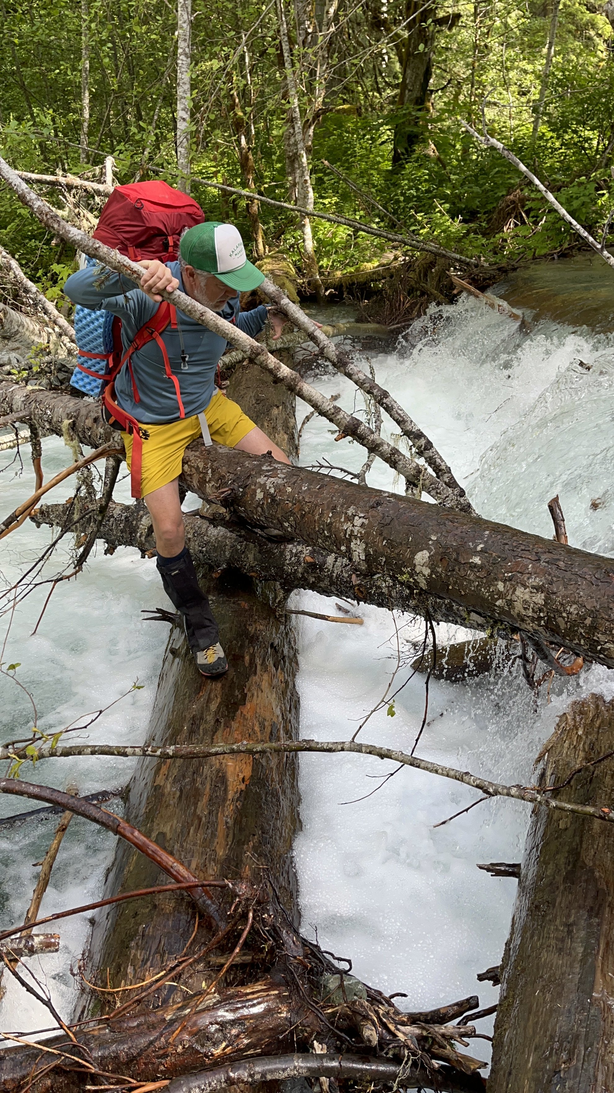
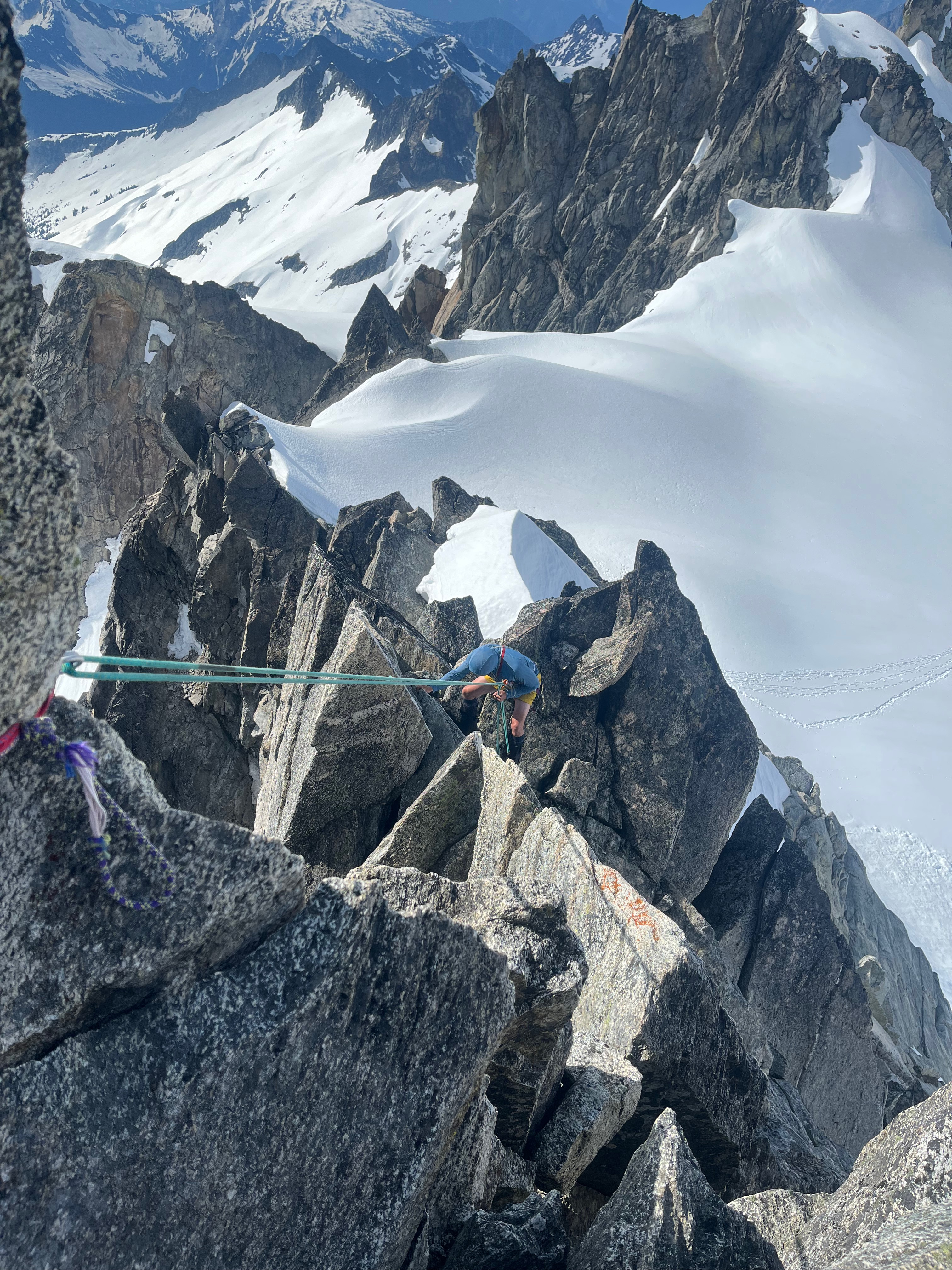
Trip: Good and Storm King - NE Butt, SW Route Trip Date: 08/19/2022 Trip Report: Me, @MGraw and Dave did the NE buttress on Goode Mountain and the SW route on Storm King over four days from August 19 to 22. BTW, that’s “gud”, not “gu·dee”, I don’t know what mountain some of you are climbing. Its named for Richard U Goode of the USGS, and the mountain is pronounced like the name. I’m just writing a quick report to get the info out there. We used beta from Steph Abegg, Climber Kyle, and occasionally Fred Beckey and it went great, so I wont post too much of that. The route finding was generally very straight forward the whole trip. We started out at the permit line. It was waaaay better than in years past, but still long. Then we cheated and drove to the Bridge Creek Trailhead for the hike in. I used trail runners to the junction with North Fork Bridge Creek Trail to save my feet 20 mile of hiking in approach shoes… worth it! Trail after Grizzly Creek (short): The creek crossing of North Fork Bridge Creek was easy but cold, then straight up from there per Kyle worked amazing. Literally NO brush to get out of the valley bottom. Wow. Approach From North Fork, just go up: We took the wrong buttress up the last portion of the approach and missed the two established bivy spots. The “5400’” bivy at 5500’ or so was occupied, but I looked down and saw the 5700’ site from above. We made a new spot on a slab and gravel at 5970 on a different rib. For next time, you have to scramble up the obviously easiest rib two or three left of the prow that the path leads you up to. This was our only real route finding hiccup on the trip with somewhat minimal research. All of Goode is amazingly complicated sounding, but is really just follow your instinct from North Fork Bridge Creek to the summit. It took us 8.5 hours car to camp I think. Just up from camp: The next morning we walked like 100’ up to the glacier were we easily walked on on low angle firm snow. We had only snow the whole way, no proper ice. The glacier was pretty easy to navigate from there, one big zig zag to get above the cracks at 6700’. The feared moat was just a couple of steps down on blocks to 3rd class rock. We got lucky hear I guess. I think this wat at 6730’. On route: We scrambled a 3rd class ramp to near the crest, then started simul climbing. Mike lead out and lead a 1200’ simul pitch to a 5th class step where Dave took over. Dave missed a move to the right of the ridge and lead up a tough 5.7 spot with no pro (except our now fixed nut above the difficulty). Stout lead in hiking boots dude! Me and Mike followed in approach shoes, wondering the whole way why he didn’t move off the ridge crest, it was aesthetic though. As much as its tempting to lead the crest, any time it gets tough you can break off. The climbing was great the whole way, never hard (except that one spot) but interesting always, all the way to the summit. I clipped my last sling to the summit rap station to finish my simul block. It was hazy so we didn’t stay too long. 3 raps to some shenanigans to the notch (I’m not sure if there is a good way to do the last rap, but it involved a quick belay for us from the bottom of the rap). Then 2 more raps in the gulley. Skiers right side of the gulley was much better than down the gut, not bad at all. Soon we were in camp on an awesome slab amongst heather at 7600’ just left of the rib. I highly recommend this spot, the slab was perfect for victory lounging. 10ish hours this day. Camp: Brief shower in the evening: The next day we traversed to Storm King and followed the standard beta to the notch. Scree slog, up the gulley to the right of the one with the obvious horn. The one with the horn had a rope that appeared to be fixed for a rap. I’m not sure why you would do this unless you just didn’t want to carry it out. Please don’t do this, it’s just trash now that no one want to take out. Descend your ascent route and take everything home with you. I really hope there was some extenuating circumstance here, but I can’t think of what. We scramble traversed the obvious ledge from the notch for 200’ – 300’ horizontal then scrambled up 3rd -4th class to the summit. The beta here was complicated but the route very simple. Ledge: Reversing the traverse to Storm King, Goode behind: Then down, down, down. There is a path from the little 7440’ knob just SW of Goode leading down the rib to the valley bottom, it comes in and out, but just stick on the crest next to the creek. We hiked out to Park Creek Camp for about 9 hours on the move. Up very early the next morning to beat the heat for 6ish hours to cover the 15 miles to the car and beer that was still as cold as the Rockies! Wow! An amazing trip with way more down time than I am used to. Glad I had good friends to share it with! A classic for sure, though not enough brush for it to be truly a Cascade classic in my book. Nor enough loose rock. OK, so not so quick a report, but it was a really great trip. Gear Notes: 2 30m rope, aluminum snow gear, approach shoes, single rack 0 metolius to #2 C4, like 15 slings Approach Notes: Long but easy. The trail was brushed out except for a little bit after Grizzly Creek.1 point
-
Trip: Mt Stuart - West Ridge Trip Date: 08/20/2022 Trip Report: What a classic route, total type 1 fun climbing at its best. My wife and I climbed it over two relaxing days last weekend. Beta is plentiful, so here’s pics. Headlight basin, one of my favorite approaches in the Cascades. Ingalls Lake, last flowing water until the next day. We’re going here! Starting up the super fun 3rd/4th class Staircase. Looking across to Long John’s Tower. Intimidating to look at, easy to scramble up on the right. Settled in for a high bivy above LJT notch. The alpenglow from the setting sun was incredible. We stayed up late enjoying the ambiance and watched the stars and Milky Way come out. Then the weirdest thing, a long string of lights moving steadily across the night sky then disappearing made us question our reality. UFO? Turns out it was the same thing Oly saw over on the peninsula: https://westseattleblog.com/2022/08/heres-what-that-bright-streak-in-the-sky-was/ Lazy start in the morning. Snow available for water near the West Ridge Notch. Somewhere on the summit block, maybe pitch 3? It all seemed pretty mellow follow-your-nose easy 5th climbing. Summit! Saw several folks up top, one soloist who started from the car about the time we were waking up (an impressive 4 hours up the WR), two guys attempting the Stuart Range Traverse to Asguard in a day, and several scramblers up & down the Cascadian. The descent was less enjoyable, Katie's first time experiencing the Cascadian and she said she wants to downclimb the WR next time. Finally the slog up to Longs Pass gave us a parting view of Stuart and the route. Back at the truck, tired but mentally refreshed as always. Gear Notes: Rope and minimal rack. No axe or crampons necessary. Approach Notes: This field is required?1 point
-
From Calder Bressler as told to Harvey Manning. “Climbing over Cache Col we dropped down to Cascade Pass and leaving our packs at a good campsite south of the pass set out for the peak we called Elsbeth, now named Johannesburg. We traversed the talus beneath the Triplets gaining altitude gradually, traversed and climbed most of the north face of Cascade Peak, arriving at last on the col between Cascade and Johannesburg. By now it was late in the afternoon, but any qualms we might have had were dispelled by the mountain goat which appeared suddenly to guide us. Climbing the cliff west of the col we followed the goat, who kept at a uniform distance of 200 feet, leading us to the summit at 6 p.m. Though now we had a few second thoughts, and moved with all possible speed it was dark before we regained the col. Rather weary and desperate we attempted to descend the hanging glacier that drops away on the north side of the col, and none of us came away from that evening with any love for clawing around on steep ice by flashlight. We were finally stopped by a gaping crevasse that spanned the entire width of the narrow ice torrent, and gave it up as a bad job. Back over the col we groggily struggled, and bivouacked in a sparse meadow on the south slope, huddling all night over a small twig fire, scorching our hands and faces while other portions of the anatomy froze. At first light we carefully conducted our stiff bones the long way to Cascade Pass, circling on the south side of Triplets and descending a snow finger between Triplets and Mixup to our camp.”1 point
-
Trip: Crystal Lake Tower - SW Rib Trip Date: 07/03/2022 Trip Report: We two Seattle climbers made a pleasant 3-day outing to Crystal Lake Tower. Having climbed Whitehorse Mtn. with Kellie McBee the previous week, I imagined we'd be in shape for this. After gleaning details of the route from trip reports here, and, of course, Fred's Cascade Alpine Guide, we carried out the trip without any trouble. A leisurely hike up Ingalls Creek for 7.7 miles brought us to Crystal Creek. A ribbon on a log marks a spot to turn uphill. Blowdowns made the boot-track hard to follow at first, but we soon picked it up. It goes into big boulders on the way into the tarn basin, where I somehow had my camera out for this shot: Camp was found in some trees near the tarn, where we could see the objective of tomorrow's climb: Under clear dawn skies we made our way around the left side of the tarn to the left side of the route's toe. I have long been enchanted by the Nightmare Needles, having climbed Little Snowpatch with Mark Landreville in 1989, so I took some shots along the way: Easy simul-climbing starts the route, and here is Kellie coming up: Little Annapurna is just across the creek: We knew to aim for a large-looking white headwall and pass it on its left side. My partner expertly scoped it out: Wonderful, improbable ramps curve around the final block of stone to the summit. The obligatory summits shots were made: The Enchantment Lakes were still snowy in a mellow late-season way. Crystal Lake is bottom left: I once climbed McClellan Peak while trying for Argonaut in a whiteout, by myself, so I enjoyed the view of where I once stood: It was with relief I walked the easy descent along goat tracks to the area of Enchantment Pass. The snow was soft and giving, with no need for crampons, though we had brought axes for balance in case of ice. I had stashed my big pack at the base of the route, so I had to hike back up for retrieval while Kellie waited. Exhausted, camping was a relief until it began to rain. I had just finished boiling water for dinner and dashed into the tent with it while Kellie cooked hers. Lightning flashed and thunder rolled in the night, rain came and went in alternation with perfectly clear, starry sky. Next morning we abolished breakfast time and got out of there fast. It rained hard for a bit, we soaked up the water in the bush, slipped on lichened rock, tumbled over logs, slipped on roots and ferns, fell backward and forward, and hit the Ingalls Creek trail with gratitude. An easy seven miles to the car, hooray! Gear Notes: Single rack to 3", one 60m rope, ice axes Approach Notes: Legendary1 point
-
Trip: Dorado Needle - NW ridge Trip Date: 07/03/2022 Trip Report: The old Cascade River crossing by the parking lot at Eldorado is gone. Newer river crossing is available ~100' downstream from the parking lot with two logs that intersect from the road side with another log leading to the island in the river. Flow was high and there are strainers downstream of the crossing so be careful. Another party mentioned finding a log crossing upstream from the parking lot ~200 feet, upstream from where Eldorado creek hits Cascade river and then crossing Eldorado creek back to the climber's trail. Multiple parties on Eldorado. One party skied off the summit! (DM me if that was you and I'll send video!) Dorado Needle snow ramp was in great condition. Good boot steps all the way to shoulder. No crampons needed for the entire trip. Eldorado, Inspiration, and McAllister glaciers all had soft snow. Multiple parties on Dorado Needle. Really cool route with fun blocky climbing and cool rock needles. Able to make two rappels back down the route from summit with one 40m rope. Everyone kept mentioning a "new forecast" with "bad thunderstorms" coming in. Didn't listen to them and camped on the McAllister glacier near the Marble/McAllister col and didn't sleep through the big boom / big flash show. Should have listened. One party didn't like the lightning either and ditched their gear scattered on the glacier. We recovered it the next morning. If you're looking for it, please DM me and let me know where you left it and what you left and I can get it back to you. A true cascades experience with hail and rain all day on the way out. As always, stay east on the boulder fields and suffer less. Snow begins at top of boulder fields. Eldorado stream crossing below basin and above boulder field still under snow currently, but not for long. Gulley to Eldorado glacier quickly becoming post-hole city. lower Eldorado glacier Eldorado Forbidden and Moraine lake Alpenglow Traffic on Eldorado summit ridge Klawatti Dorado Needle and McAllister glacier North Face Eldorado Cascade river stream crossing "Rock!" Gear Notes: pickets, gear to 2", 40m rope Approach Notes: cascade river stream crossing 100' downstream from parking lot1 point
-
Are you telling me that the name 'Doug's Direct' is meant to be facetious and I just didn't get it?!?! DAMN YOU, DOOOOOUUUUUUUGGGG!!!!1 point


