Jamie
-
Posts
59 -
Joined
-
Last visited
Everything posted by Jamie
-
okay, I agree. And after all, we are climbers so we assume some degree of risk.
-
It is my understanding that the Hurricane Ridge Road to the Visitor center will be open Feburary 27th and 28th. Extensive repairs after a slide had kept it closed a while, but now open.
-
Seaberry Blair said it nicely one time. He said he finds lots of places to go where the avalanche hazard just doesn't exist. I know that is not always possible if you want a summit, but there is some logic to his reasoning. Did you know that most people killed in avalanches have been through some sort of training (and I know correlation doesn't necessarily show cause)? Recently some mathematical models of sand avalanches has shown there are enough factors that predicting the event proves impossible. ( see "Ubiquity" by Mark Buchanan). There are lots of "rules of thumb" for avalanches, but the last rule of thumb is that their are no reliable rules of thumb. They can happen when not expected and under conditions not normally associated with high avalanche hazard. And one more psychological note. The more you travel in those conditions the more callus you get and the less you will respect the danger. Avalanches don't happen often enough for you to psychologically associate that big snow load with the hazard. Sorry for the rambling, I know I talk too much.
-
Because I spend most of my time in the kitchen eating and I'm not familiar with other objects in the house.
-
Perfect, Thanks a million Tazz!
-
If it isn't already too late in the season, I'd still like to climb Red Mountain near Snoqualmie Pass this year. When I look at the maps I See a labyrinth of trails. Is the usual approach just taking the new PCT trail up to the (Red-Lundin) saddle? My guide books were all written before the PCT was changed in this area. ...and thanks!
-
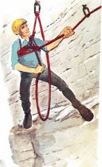
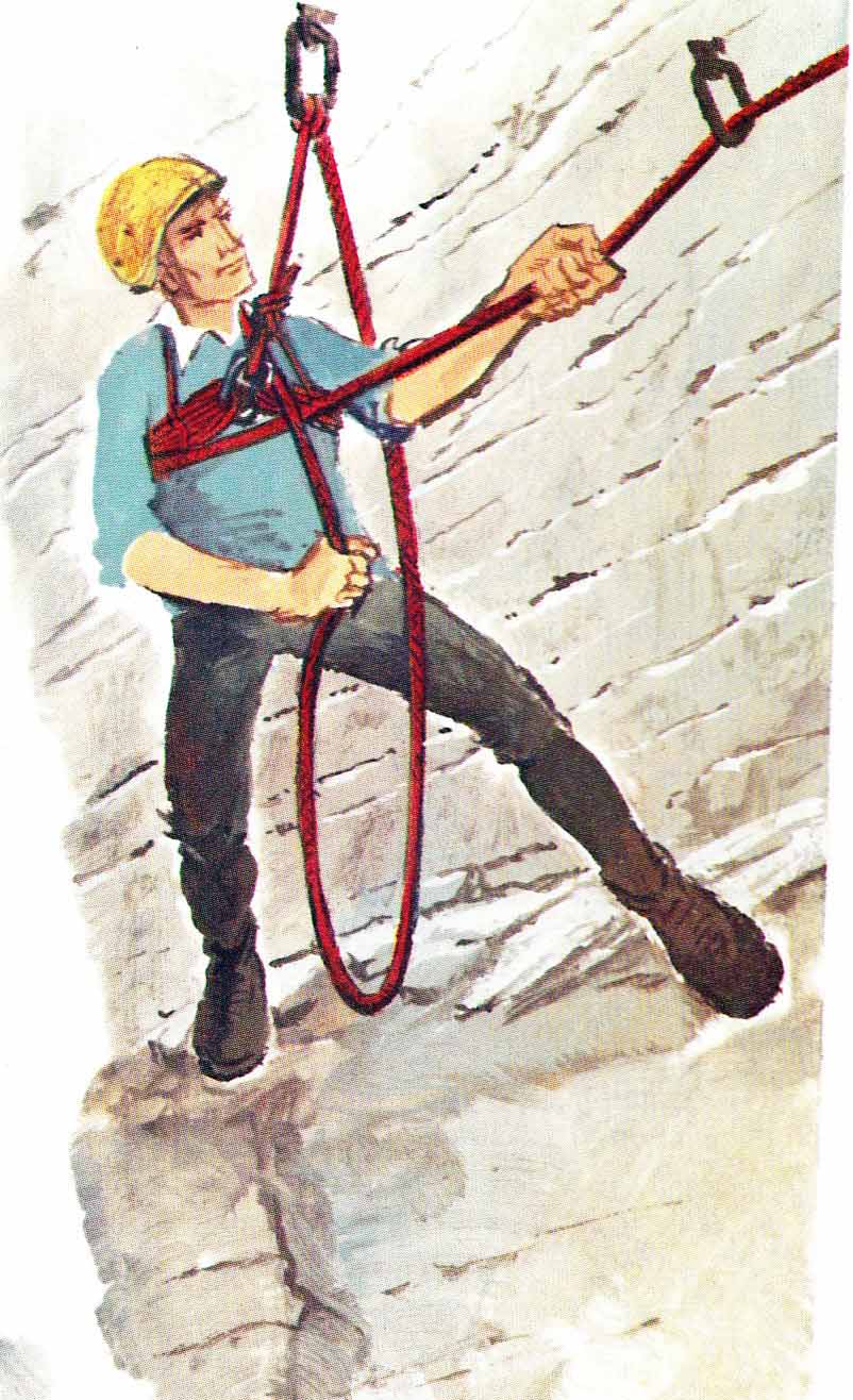
Try to keep the rope from in between your legs!
-
I suppose it is hard to imagine what happened. We may never know exactly what did happen. Too often the people who investigate these accidents are not trained to do so. Many of the articles in the American Alpine Club's annual accident reports inadequately deal with the proximate cause (or causes), or speculate in the absence of a more complete investigation by people who are properly equipped to do so. This is a pet peeve of mine. I know they (AAC) do the best they can with what they have available, I just wish there were time and money and personnel available to do a better job. Why? Because it could potentially save lives.
-
Mount Erie is also a fun one. I suggest the Book "Weekend Rock, Washington" by Dave Whitelaw. It has a little bit about several local areas.
-
Could it have been a mistake. That is, could have someone thought that someone had bailed and sacrificed the gear?
-
only one tick spotted on a shirt.
-
Very cool pics. Looks like the ideal trip we are all looking for.
-
Personally, I would use a 5.4 shoe maximum for this route. I'll look for someone climbing with one shoe when I'm there next.
-
Extremely nice pictures, Thank you. I somehow have missed climbing the Tooth in all these years of climbing in the Cascades and plan to do it in May this year. My partner is suggesting the South Face which Beckey says is class 4, but he says is probably low 5th class.
-
I've decided to retire and climb on the weekdays. That should solve the problem (?)
-
The lon-lat coordinates are... hold on, the phone is ringing... ...have to go now.
-
I vas vondering....how is the access to the Mason Lake area and Bandera Mtn and especially Mt. Defiance? This is exit 45 off of Interstate 90 and I believe it is Road No. 9030. I generally hike in the Olympics, but the Hood Canal Bridge will close May 1st for a month for repairs and replacement so I'm looking at the cascades. guten Tag!
-
Thanks for your polite reply newdawnfades. I'm not sure what roadside rock it was, but there were 4 or 5 ropes set up and they were climbing with hiking boots. The leader was a rotund gentleman who offered to let us in on a rope. However, since there were climbers on all the routes and lots of activity above and below the pitches it seemed (to me)a little complicated. Generally speaking he was courteous.
-
No, but I'm sure they had their 10 essentials with them.
-
Thank you.
-
Actually they didn't warn us and they didn't offer to pull their ropes. They did offer to let us get on one of their ropes, but they all had people on them at the time. But I agree with all the other posts here, there is plenty of good rock further from the road and I will stop whining.
-
4/18/ and 4/19/2009 Both Saturday and Sunday the Everett Mountaineers had a half dozen of the local roadside crags all locked up with, I would guess, 50 or more people. They made it clear both days that they got there early and were not leaving anytime soon (4:30 was mentioned on Saturday). I don't know what the climbers code is, but I would say this is just plain bad manners. I have always heard the Mountaineers were too regimented for some people's taste. At least for me this kind of behavior takes away from the independence and freedom I like in the mountains. It looked like a mob scene to me. For each his own I guess. We hiked back a ways from the road and the Mountaineers' crowd and found some great climbing so our weekend wasn't ruined by the throng. And I'll be damned if I will tell anyone else where exactly we climbed!
-
The guide called "Weekend Rock" Washington has about 16 pages on Mt. Erie. It isn't complete my any means, and we thought the description of how to get to the "power line wall" really lacked. But it does have about 31 routes described. Worth looking at anyway. The guide book at the local store was $24 or more, but very thick and I am sure complete. JIM
-
Thanks for that Woodchips. Your remarks probably explain why, try as we might, looking at the map in the book didn't seem to be getting us there.
-
We were up to Mt. Erie yesterday. I had climbed there many years ago. We did some stuff on the Summit Wall and then went looking for the Powerline Wall. I don't know what in the heck we did wrong, but we made several attempts and could not find it. Someone on line suggests following the powerlines down to it. Is that so? Any other tips on finding it? We followed a trail (Skyline trail?) down to a cliff area, but it was mossy and broken, certainly not the wall. We ended in the woods, not seeing anything promising we went back to the summit parking.