Leaderboard


Popular Content
Showing content with the highest reputation on 07/31/21 in all areas
-
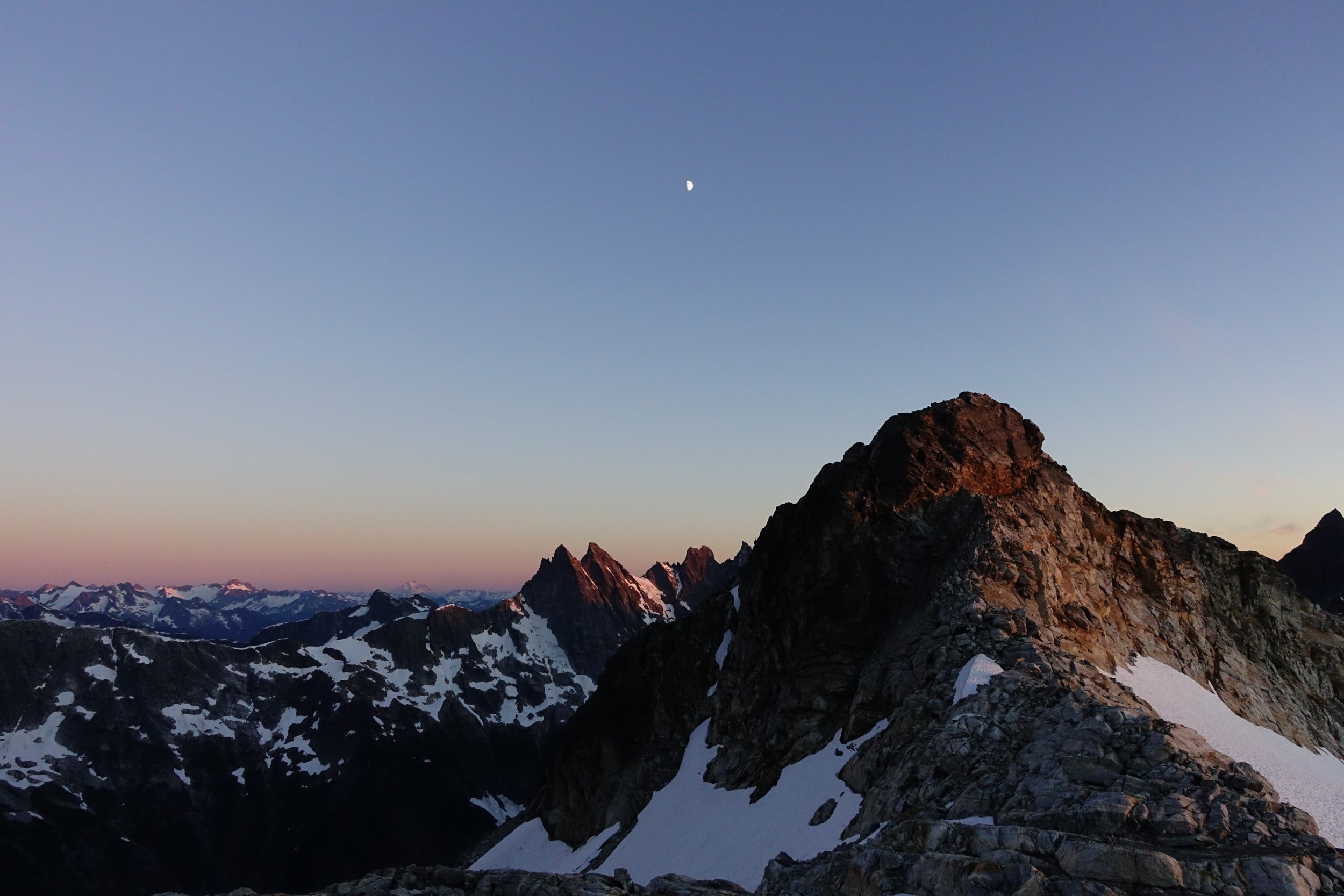
Trip: The Chopping Block - NE Ridge Trip Date: 07/25/2021 Trip Report: Climbed the Chopping Block in bomber bluebird weather on Sunday. Actually saw another party on the route (!!); two young guns who had left the trailhead that morning and were doing it in a day. Overall saw seven people during our three-day trip, which exceeds the total number of people I've seen in all my previous Picket trips put together. There are a lot of people out there these days. We managed to lose the trail once on the way up and once on the way down, thus providing us with hours of additional enjoyment. As has been stated by others before: DO NOT LOSE THE TRAIL. Drop your packs and scout, the time you spend will save you sooo much more time. When descending the broad ridge from the basin to the snag with the crosspiece and flagging (see pic in Jeff and Priti's Pickets Traverse report), stay left; don't stray to the right. There was a mellow place to wade Terror Creek just upstream of the trail; clearly many have done it before because there was a bit of a trail beat in back downstream to the trail up to the ridge. High points: camping in Crescent Creek Basin with not another soul up there except us, views from everywhere above treeline, nice solid rock and enjoyable climbing on the route, not being mauled by the bear hanging around the TH in the salmonberry bushes, not being nailed by the 10-inch-diameter tree that fell across the trail 15 paces in front of us (I counted) right after I said, “Hold up, I hear something in the bushes.” Thanks to Jim Nelson for the new cams, they're light as a feather. Thanks to Marko, the second-handsomest alpinist I know, for the rack 'n rappel beta. Gear Notes: 70 m rope (some shenanigans to rap back down but nothing out of the ordinary) Light alpine rack to #3 Camalot (really #9 Metolius Ultralight Master Cam) Tat Approach Notes: DO NOT LOSE THE TRAIL!1 point
-
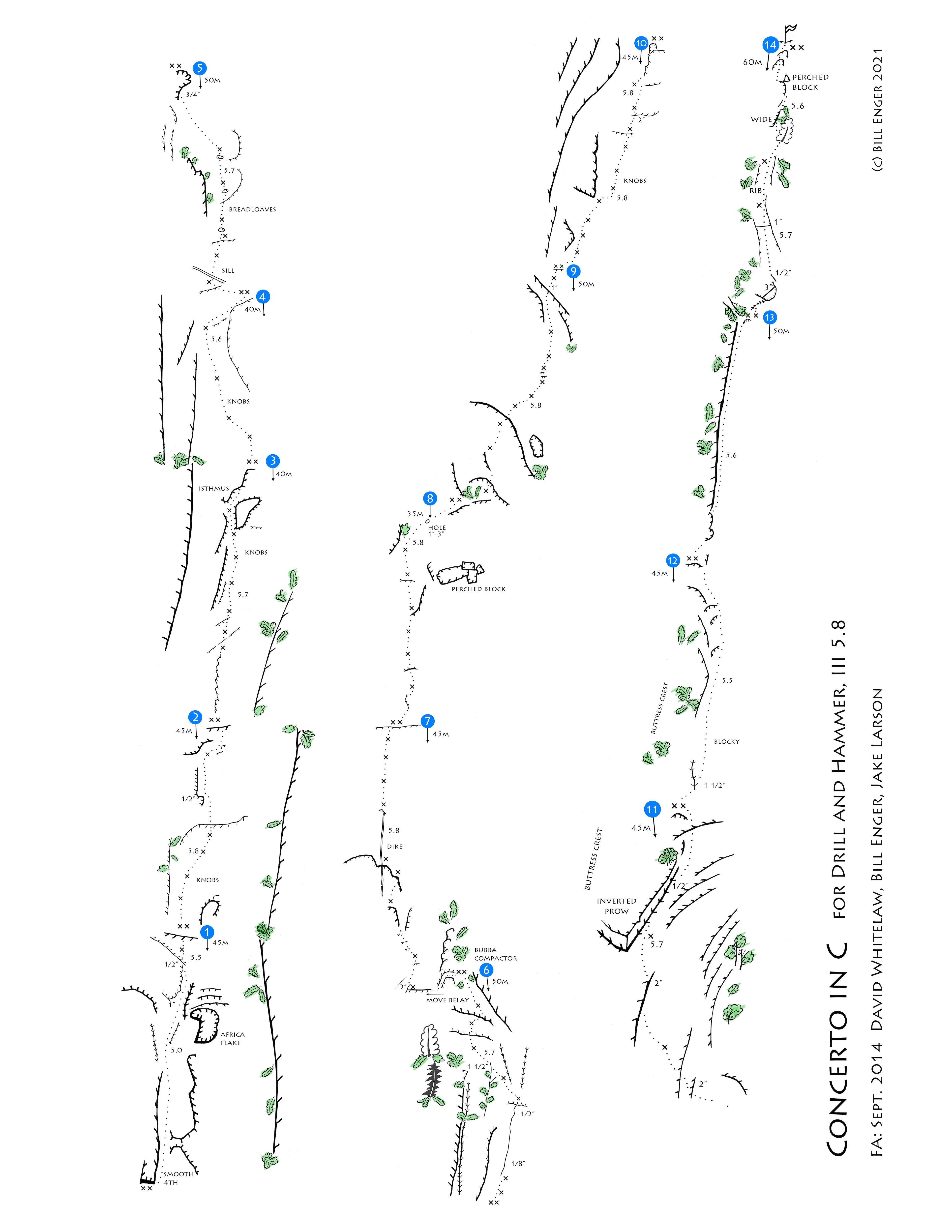
Trip: Squire Creek Wall - Concerto in C for Drill and Hammer Trip Date: 09/07/2014 Trip Report: Posting this record and topo to allow the Trip Report Search to find the route history. This route was made with work done from July, 2013 to September, 2014, with the FA on 9/7/2014. Pitches 1-9 (partial) by David Whitelaw and Bill Enger. Pitches 9 (partial) and 10 by Bill Enger and Jim Daubert. Pitches 11-14 by Bill Enger and Jake Larson. In 7/2020, four smashed bolts or hangers on Pitch 2 were repaired or replaced by Bill Enger. In 7/2021, additions were made by Bill Enger and Brian Young: Pitch 11 bolt added at Inverted Prow to replace piton, Pitch 14 two bolts added to protect the white rib and a chain anchor added on the summit. The topo to follow, too big to attach here... Gear Notes: Standard single rack to 3". Two 60m ropes. Approach Notes: Boot track from Squire Creek. ConcertoInC_rev1.pdf
 1 point
 -
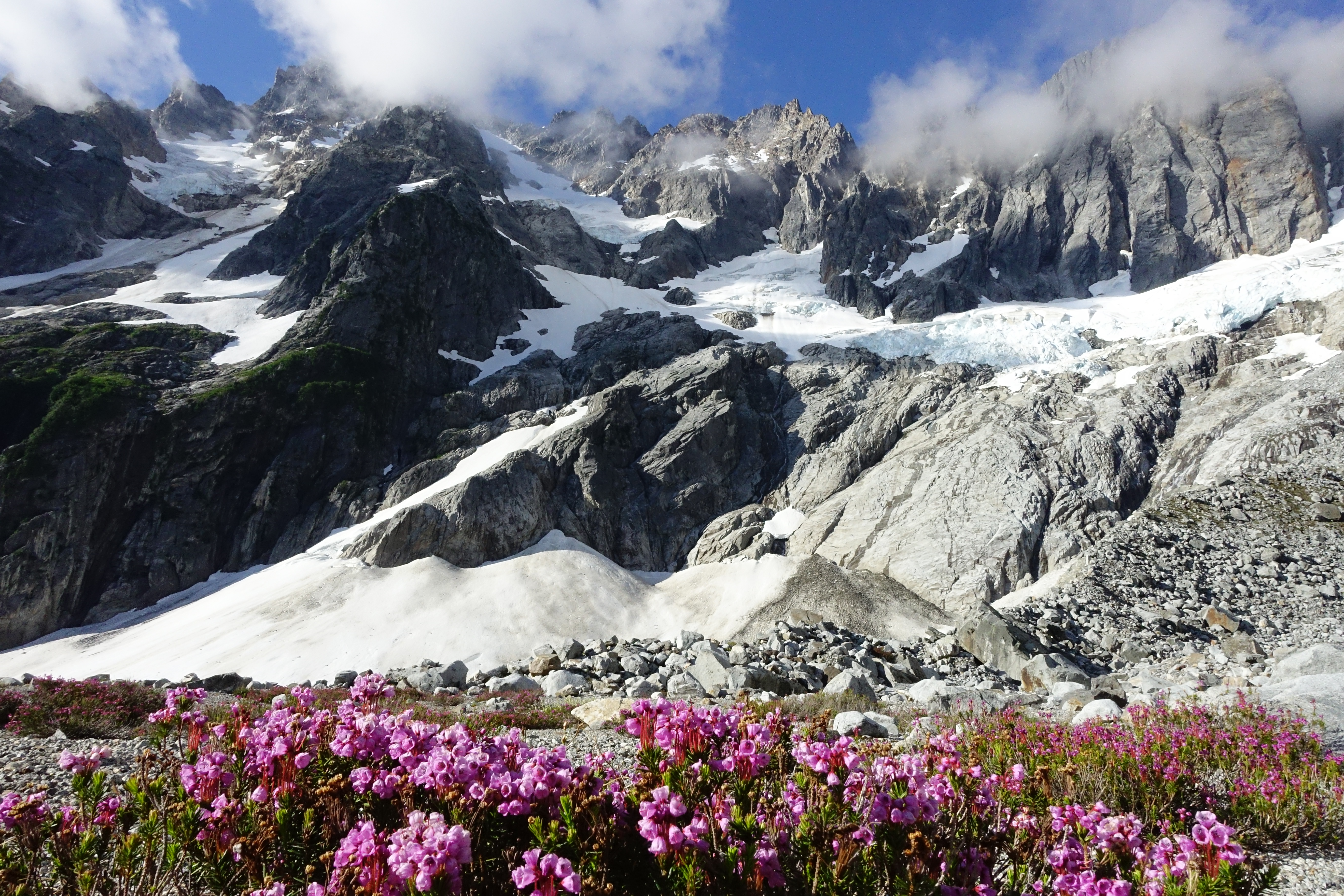
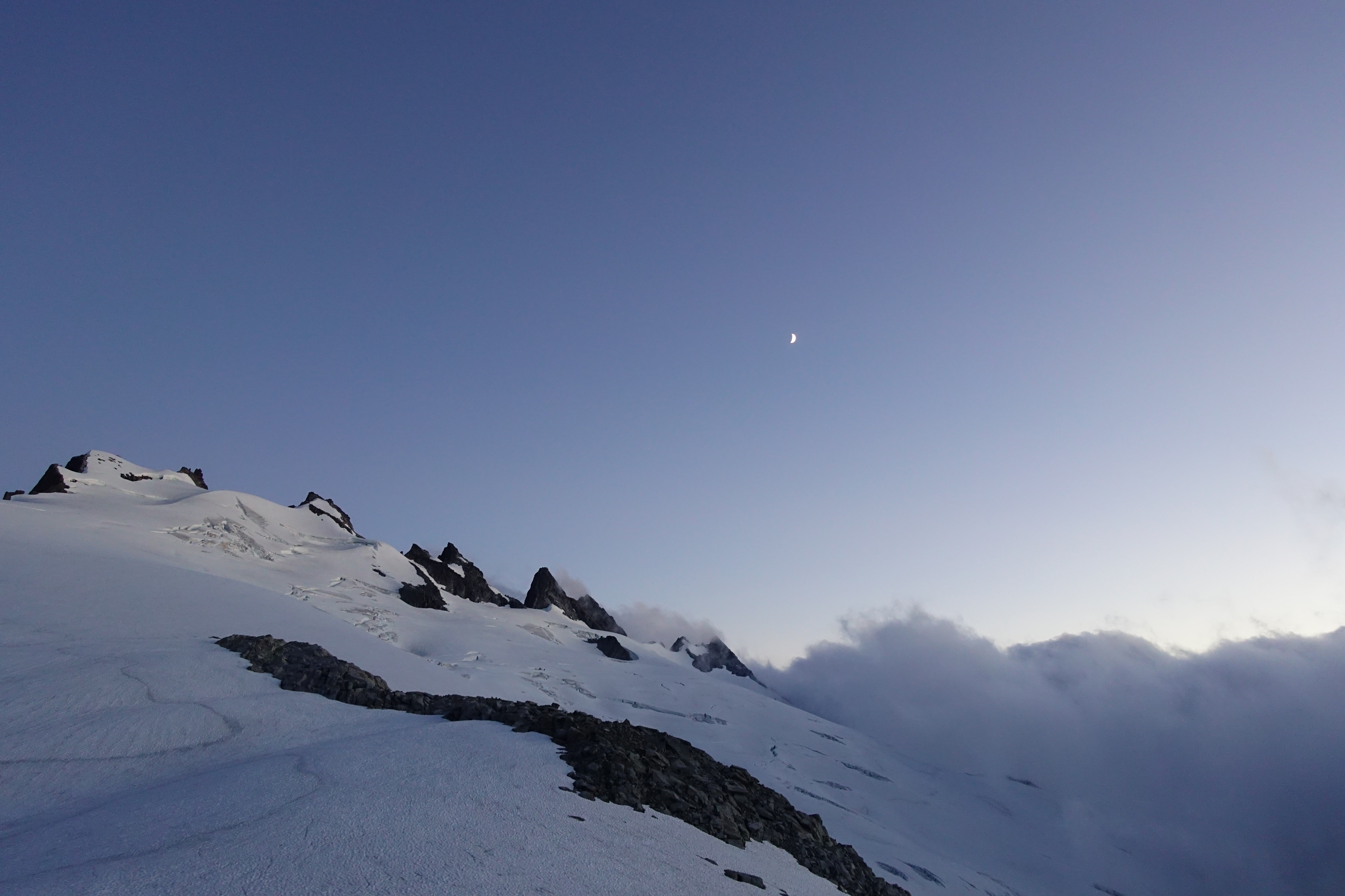
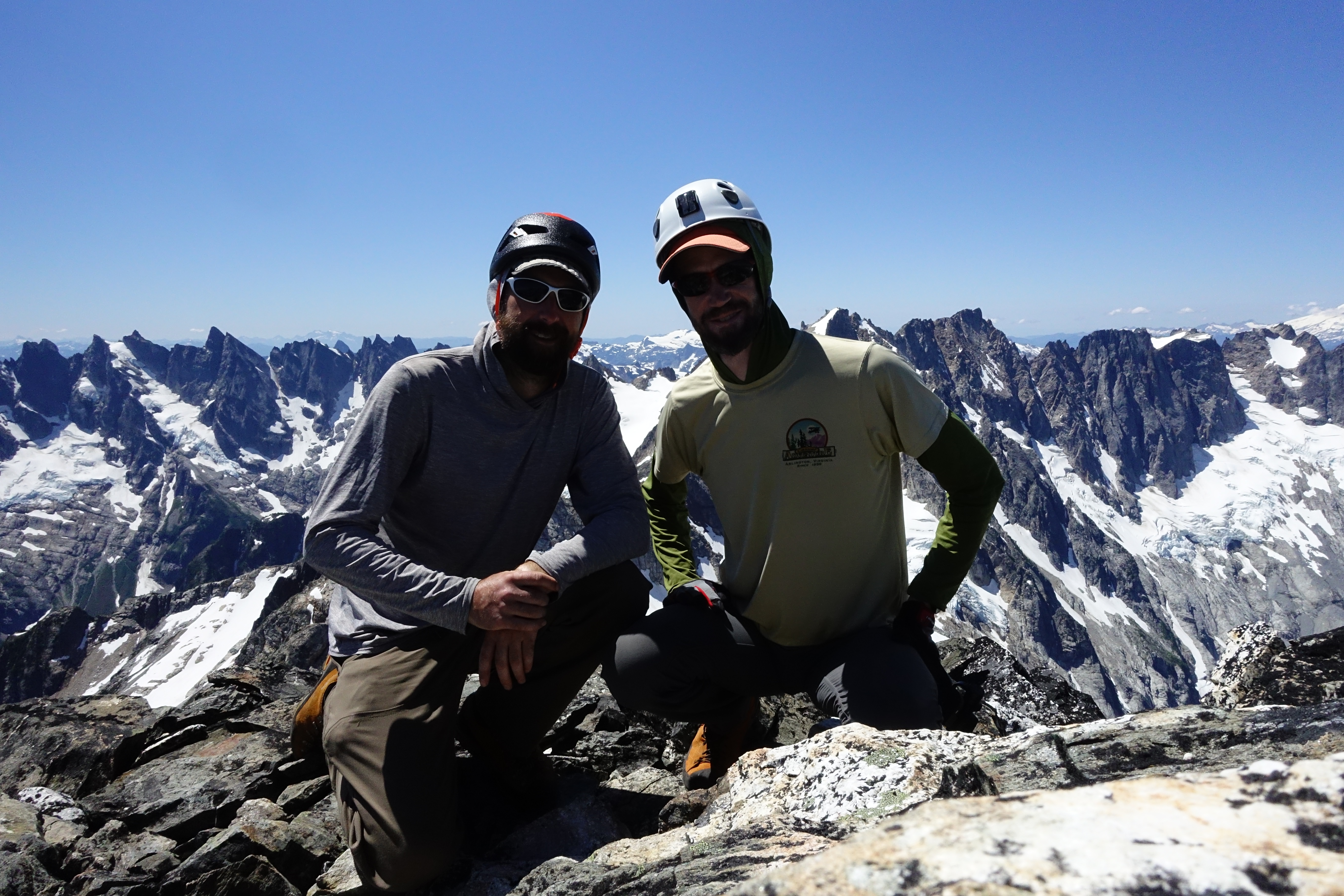
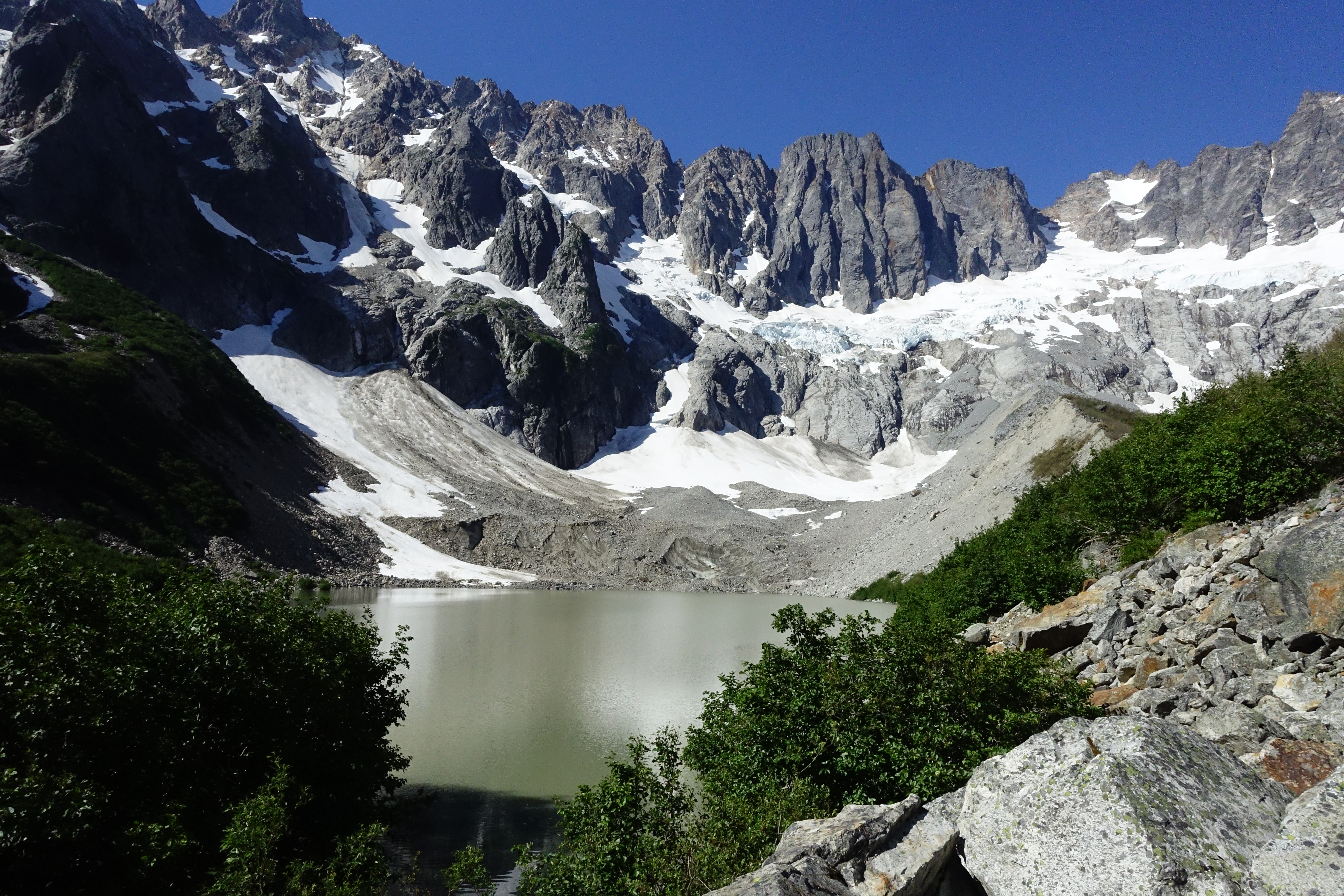
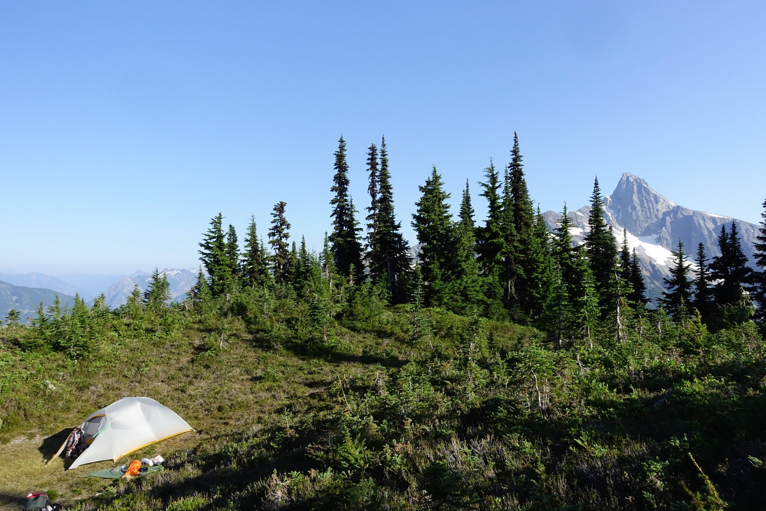
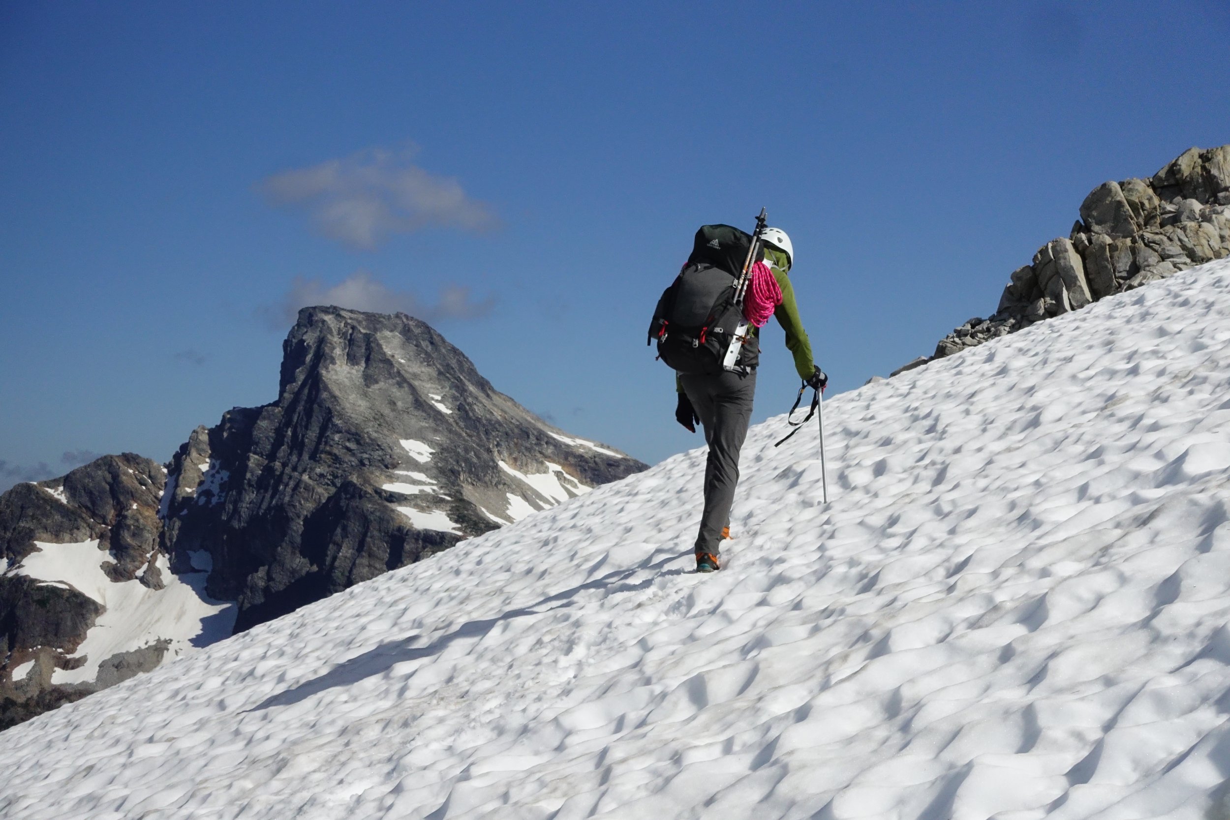
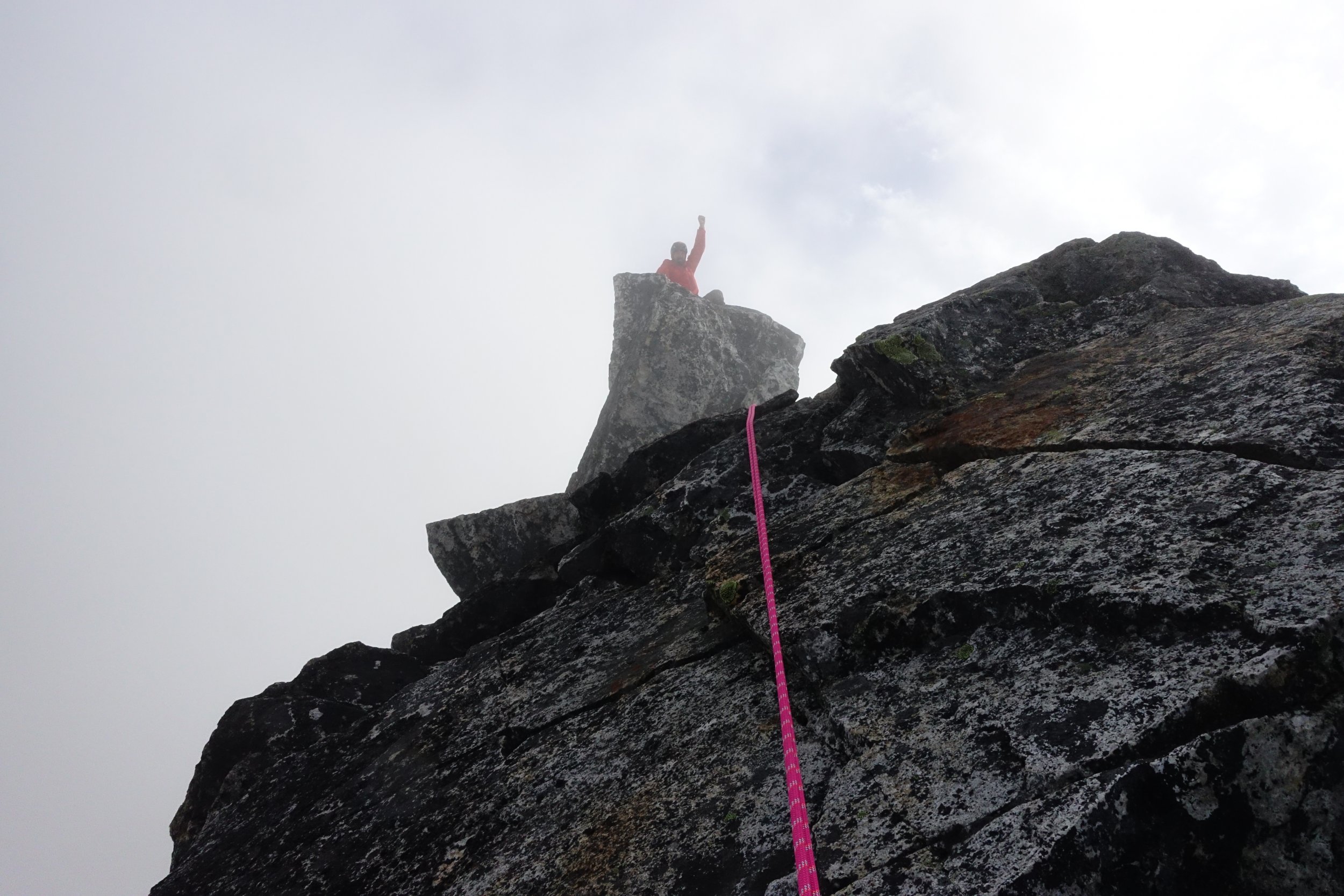
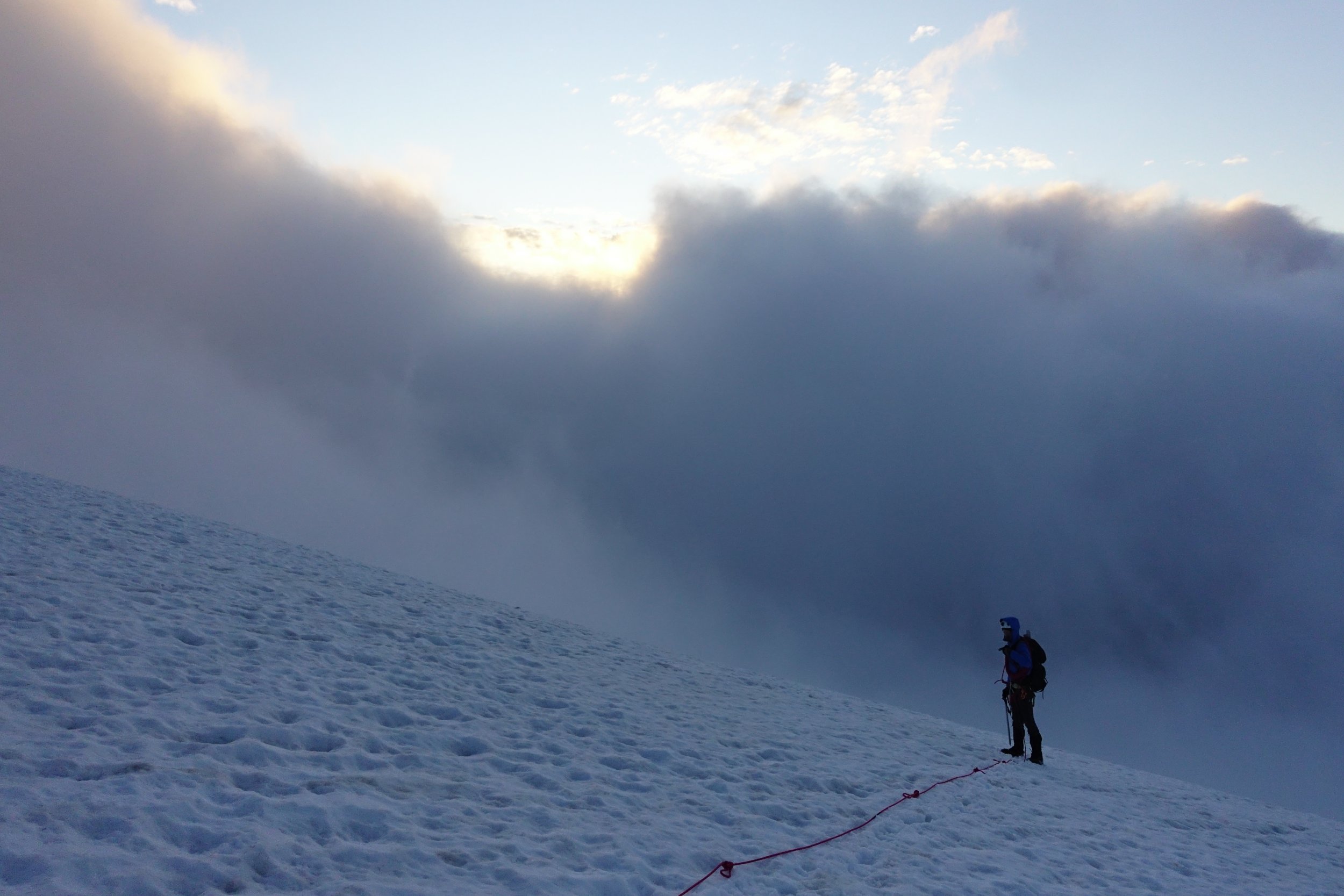
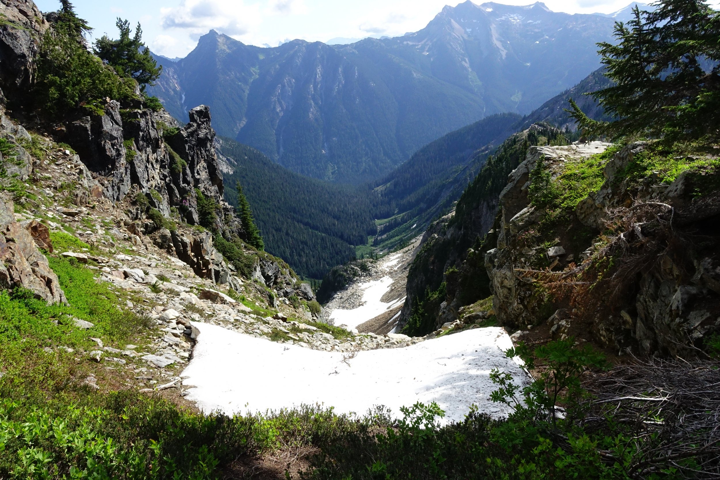
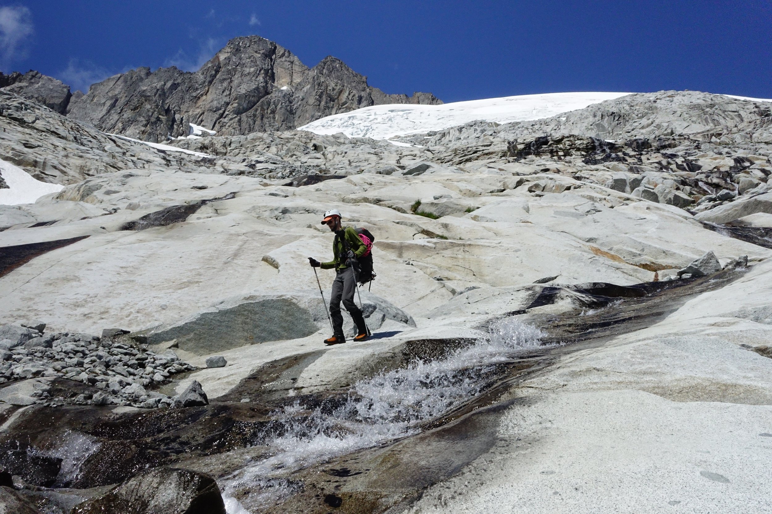
Trip: North Cascades - Mt. Challenger to Luna peak Trip Date: 07/13/2021 Trip Report: From 7/13 to 7/21 myself (Jeremy) and my climbing partner (Ben) traversed along the base of the Northern Pickets and did a bit of climbing along the way. The story, however, starts a bit further back than that. My first attempted foray into the Pickets to climb Challenger was 20 years ago, and it ended almost as soon as it began. A nagging knee injury irritated by 2 weeks in the Tetons and Wind Rivers flared up as I trudged along the W shore of Ross Lake...The trip ended before we even reached Big Beaver. I never quite got the disappointment out of my head, but living on the other side of the country made planning a successful trip back there a lot harder than I appreciated. One year it was too much snow and we climbed Ruth as a consolation prize...another year we fell short on time, turning around at Perfect Pass to make it out in time for our flight. Last year was a pandemic...I work in a covid ICU, and the idea of one of us contracting the bug and then getting symptoms in the mountains wasn't worth the risk. So here we are, 20 years later, and I was willing to give it one last go. I'm no spring chicken anymore...arthritis is off to a quick start, and I never really developed the discipline to train. I'm not even a weekend warrior, more like an every third weekend warrior, but only if it isn't too hot out, or if there isn't beer to brew or board games to play. In short, I am a softer, weaker, and somewhat more rotund version of my younger self that first had Picket dreams. This trip we gave ourselves 8 nights in case of bad weather and to accommodate my sub par fitness level, plus I wanted to visit Luna Cirque if time allowed. Having come in via Easy Ridge before, I wanted to try a different approach, one without an imperfect impasse, so we took the water taxi to Big Beaver. The water taxi driver asked about our plans and upon hearing them gave us a lengthy, silent, and knowing smile that communicated volumes- it completely psyched me out. Our first day was short, ending at 39 mile camp with smoke haze visible on the peaks above us, though we couldn't smell it. Day 2 dawned with no smoke from the east side fire. We took the trail to Beaver Pass, leaving it about 100 meters past the shelter. The bushwhack over to the narrow rib wasn't bad at all, nor was travel to the first cliff band. After that things got steeper, and the going slower. It didn't help that I had gone a bit light on food and decided to ration the first 3 days...2 granola bars between breakfast and dinner was rough. Upon reaching the top of the second cliff band we filled up on water, knowing we would probably not make it much beyond treeline. We followed beta from the many helpful trip reports on this site to bypass the cliffbands, making camp around 5600' where the meadows begin. Bear scat was noted there, and the mosquitoes had me pull out my head net for the first time. We enjoyed sunset on Luna Peak and turned in for the night. Day 3 again dawned clear with no smoke. While we could see the fire clearly to the east near the pass, the smoke blew north and presumably east for the remainder of the trip. We made good time to the beautiful pools others have mentioned finding and stopped for breakfast. We had a bit of trouble crossing a tree lined cliff descending from north of Eiley lake, but once we found the correct gully we made it up to Eiley lake without too much trouble. Wiley lake followed soon after, and we had a decision to make. We had the most beta on the descent from 7374, so we opted for that instead of trying to wrap around the Wiley glacier. I think I messed something up on this descent, but we did make it down safely, albeit via a more circuitous route. We traversed through a notch and behind a snowpatch (moat) on easy ledges to reach a slope of black talus. This snowpatch lies at the head of a large talus and scree gully others have written about. We didn't see a way to keep traversing skiers right safely, so we descended snow and heather benches to skiers L, wrapping back N briefly up a ridge with goat paths to access easy scree and talus that led to snow in the basin below. This basin lies at the bottom of the large talus and scree gully we crossed when we came through the notch. From there snow patches linked us up to the Challenger glacier, which we took up to Challenger arm and camped. Day 4 we woke to whiteout conditions and gratefully slept in. Around 2 pm things cleared up and we made a push for the summit of Challenger. We had no crevasse difficulties, but shortly before the bergschrund the clouds rolled back in and wiped out visibility again. The bergschrund was still bridged, so we decided to go for it. I placed a few pickets up to the arete and over to the rock tower, especially since I couldn't see the consequences of a fall due to visibility. The rock pitch was attention getting...I used both my knee and belly mantle techniques to less than graceful effect, but made it up nonetheless. Ben belayed me over to the summit and I set a line for him to follow. I couldnt find the register, so we snapped some quick photos and got out of there...wind and cold were both unrelenting. I again set pickets on the steep snow, and we cruised back to camp once past the bergschrund. Day 5 was clearer, though by now I was really starting to slow down. Two days prior to starting this trip I had just finished a 40 mile backpack in the Glacier Peak wilderness, and was starting to feel the cumulative effects. We headed down into Luna cirque. While slow going, we never got cliffed out or had to backtrack. The snow patches were starting to get ugly on the margins, and there was a lot of water running underneath, so we opted for the slower talus and heather slopes below. Long after my knees had hired a lawyer and issued cease and desist orders, we finally reached the flat sand and gravel camp site that splits the large lateral moraine at the base of Luna cirque. This was easily a top 5 campsites of all time spot for me. I stayed up late just to experience as much of it as I could. The ice and rocks hurtling down the 4000 foot amphitheater walls all around us was an unforgettable experience. We saw one set of older boot prints here, but otherwise just goat prints. Day 6- I found myself not liking the look of the descent of the moraine..lots of vertically stacked boulders looming above a steep slope of dirt...so we opted to descend around the outlet of Lousy Lake. There were some tedious patches of alder on the traverse around the arcuate moraine, but I didn't find it to be too bad...Ben may not agree. Most of the alder on the west side of the lake was dead or dying from some sort of tent caterpillar. We forded the outlet stream and made our way up uncomplicated talus slopes to Luna Lake. There we had lunch and a swim before heading up to Luna pass.We found a weakness in the cliffs just to climbers left of a large drainage/gorge angling down the flanks of Luna that required only a 5 foot rock step and no bushwhacking, After that it was slabs, snow, heather, and talus up to the pass. Temps were not high, but the sun was powerful and this climb really zapped me. We made it to the pass well before sunset and had it all to ourselves. We had considered Fury as a stretch goal for the next day, but both of us were pretty spent at this point and decided to give it a miss. Day 7...We climbed up to the false summit of Luna and spent some time enjoying the views. I had no interest in trying to get over to the true summit...I'm not working on my Luna peak merit badge, and I despise the combination of loose rock and exposure, so I contented myself with the false summit. That afternoon we rested and prepared our knees for access creek. At sunset we saw our first person since 39 mile camp. Day 8 we descended steep rock and heather below the pass, mostly avoiding the undermined snow patches. We found a reliable social trail that took us to the correct notch for descent into access basin. This descent was much, much longer than I realized, and my knees were whimpering by the time we made Access creek. There we got good beta on the route out from a pair headed to Fury. We lost the social trail in the woods a few times but even without it this was easy going. The final drop to Big Beaver was punishing but clear most of the way. Flagging marked a safe and shallow ford of Big Beaver next to a logjam. From there it was an easy walk up to the trail and down to Luna camp for our last night. Day 9 Up early to make boat taxi at 1015, retrieved beer from lake, and met our ride back at SR20. I've been eating hourly since then. Final thoughts. In spite of the extra climb over Hannegan pass and the tedious detour below the impasse, I thought Easy ridge was the easier approach as compared to Eiley Wiley. If I had to go again, I would probably go earlier in season and take the Whatcom glacier route to Perfect pass. Bugs were quite bearable, only used bug juice once and headnet twice. If anyone needs details on any of the navigation I can reply below. I will try to post some photos tomorrow if I get a chance Gear Notes: Bug head net, Fritos, bottle of Aleve Approach Notes: Big Beaver to Eiley Wiley Ridge, exit Access Creek.


.jpg.60aea9ed73f8877533e95787c508b978.jpg) 1 point
1 point -
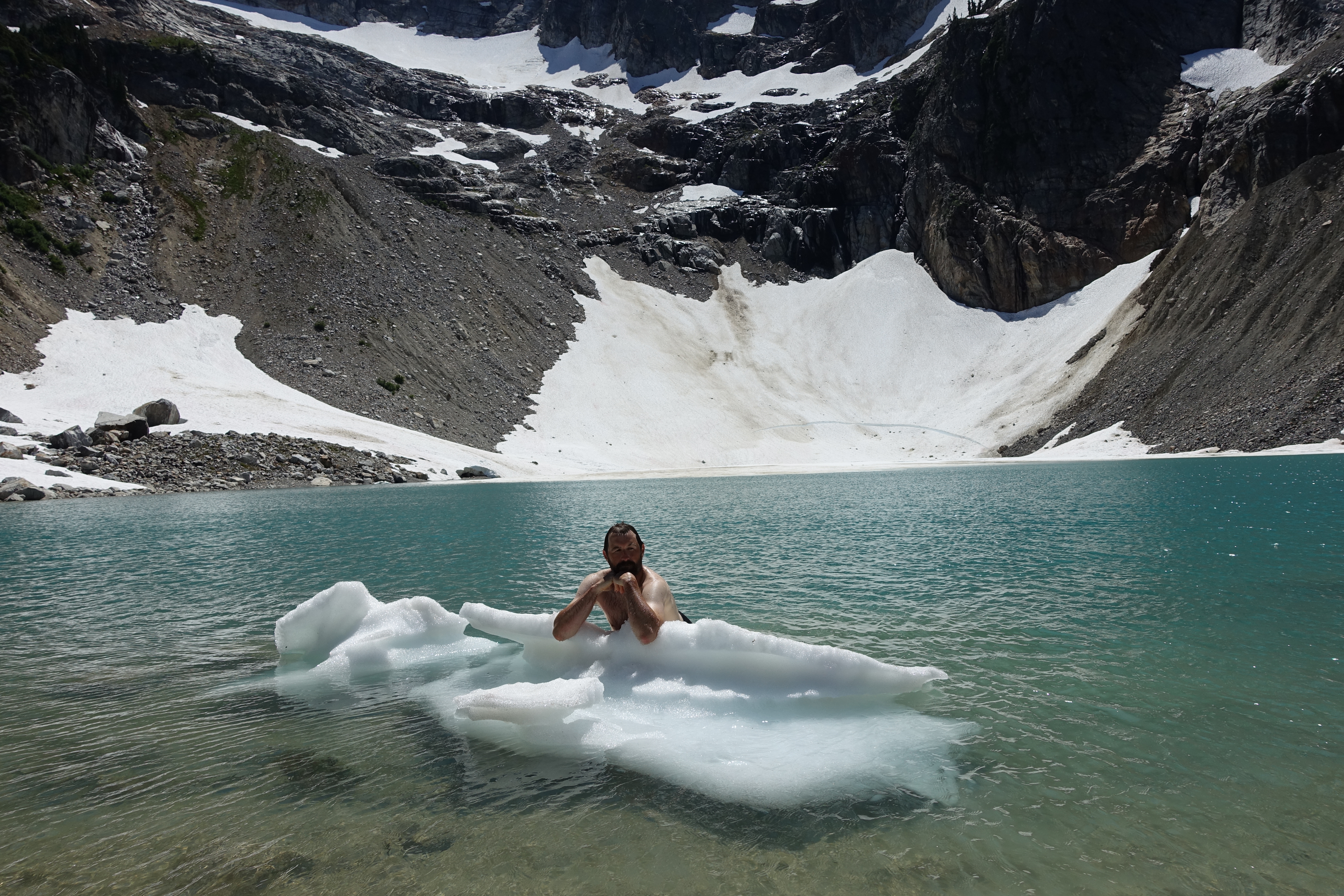
Lol, that was the least ridiculous of the iceberg shots. Hilarious that you mention calendars, a mountain rescue group I used to work with does an annual adventure calendar, and I was intending to submit one of the iceberg poses for it1 point
-
Trip: Mt Jefferson - South Ridge Trip Date: 07/23/2021 Trip Report: Since this was my first attempt at Mt Jefferson, I figured I’d go with the easiest route. Too many stories about the SW ridge to consider it. Started off Thursday night from Pamelia Lake Trailhead. Great trail over to Coyote Lake but no trail after that. Was surprised that the route went over a small rock outcropping with a little class 3 section – was following the Whole Enchilada route. The rocks started not far after that. There were a couple of snow fields in the path of the route but were easy to get around. Reached the Red Saddle around 5:10 AM. Only about 30 to 40 percent of the traverse had snow and the middle was very steep. Followed a few faint boot prints rather than trying to stay in the moat. Snow was very firm. Got only a couple inches of penetration when plunging the axe so instead, daggered with the axe and a tool the whole way over. Traversed around to the north side. This part seemed to have worse rock quality than North Sister but with slightly less runout danger. Followed a path / cairn to wind back over to west side directly below the summit then climbed the rocks with white covering. Came down the south side of the pinnacle and back over to the west – much easier than the climb up. Gear Notes: Trail runners for the approach, mountaineering boots for the rock and snow, crampons, an axe, a tool, poles, helmet Approach Notes: Long and rocky1 point
-
Thank you Jeff and Priti for all the great pictures and descriptions! And for including my colorful quote. Ward and I had no camera. Looking down the dihedral again is thrilling! Cheers. - Jim Walseth1 point