Leaderboard
Popular Content
Showing content with the highest reputation on 01/30/21 in all areas
-
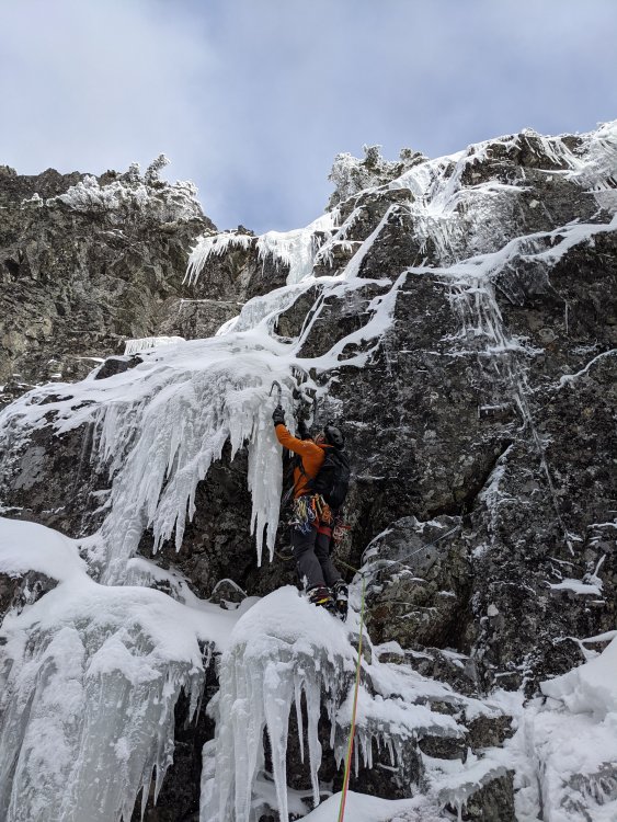
Climbed a probable FA yesterday on the western NW face of Snoqualmie with Christian Junkar and Tom Berine. This is the route we started up under very thin conditions on Dec 3rd (shown in the third post of this thread and a vid link later on page 1). Although it seems unlikely that something that is hiding in plain sight has not been climbed before, I've asked around and no one I know knows of any previous complete sends. Jim Nelson reported he got up a pitch or two and bailed. On our second attempt in late Dec, Christian and I got two pitches up but couldn't turn out of the huge chockstone cave because there was no ice at that time. We found a two piece rap anchor below this crux, and tat on top of the first pitch. I've skied by it dozens of times but only by seeing it under early season conditions did it catch my eye. Yesterday, there was just enough ice and the accumulated snow (the whole thing is a spenddrift chute) shortened the mixed crux enough that we were able turn the roof. I am still expecting to hear that Swenson's little cousin sent it in 1978, but until that time, we are calling it the Snostril and feel it is a very worthy addition to the longer mixed routes between the Slot and Snot. Our line is only 5 pitches but has a distinct and aesthetically cool crux exiting the Snostril's nostril, and as a bonus, we added a final alternative pitch - Post Nasal Drip, which is a decent one pitch climb by itself. The main line and Post Nasal both go at WI4, M5 currently although the Snostril's crux will be become easier as more snow and ice accumulate. Overview pic, John Scurlock image used by permission: I am aware this image makes it look more like a ski descent than an ice line, but it is a worthy climb. Tom climbing out of the Snostril's nostril (AKA a huge chockstone cave with a view): Christian on the Post Nasal Drip alt finish: Go ahead and call BS on the FA, we can take it. But I do plan on getting around to a TR on this one because it is cool climb to do when you wanna sleep in a little. As threatened here is super-longwinded Snostril TR (I get paid by the word).1 point
-
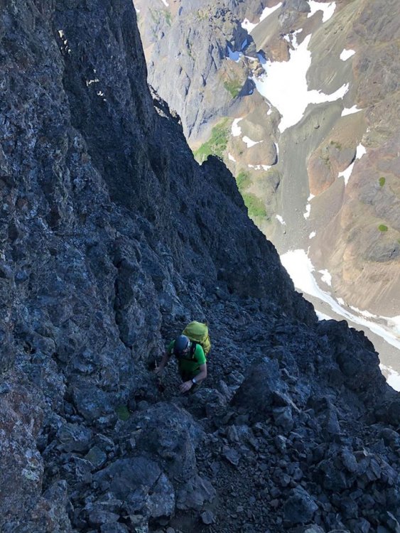
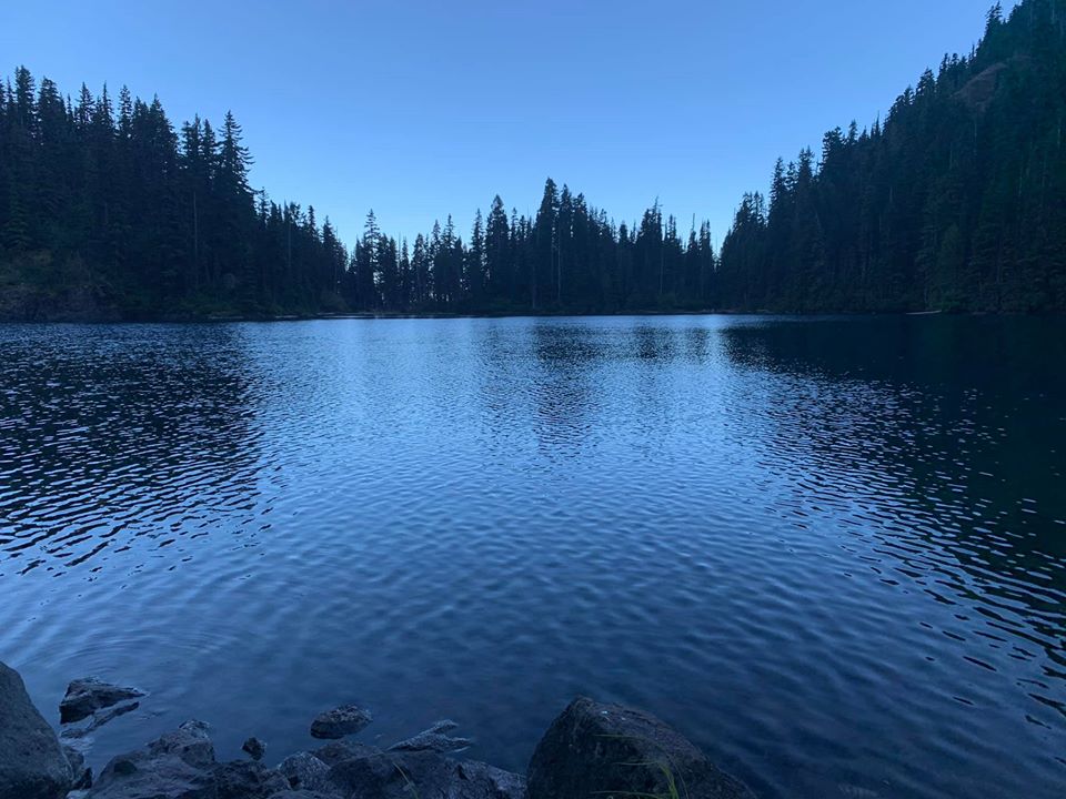
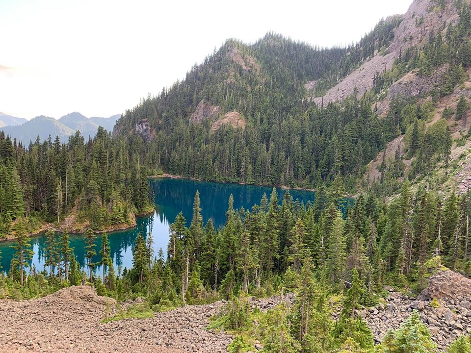
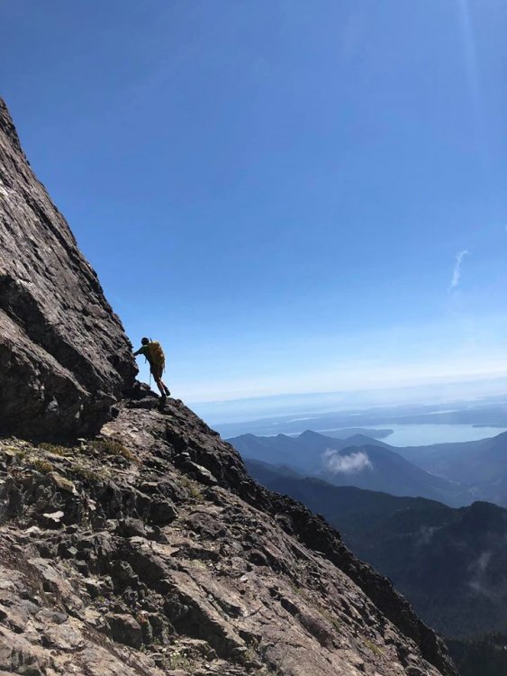
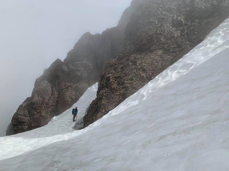
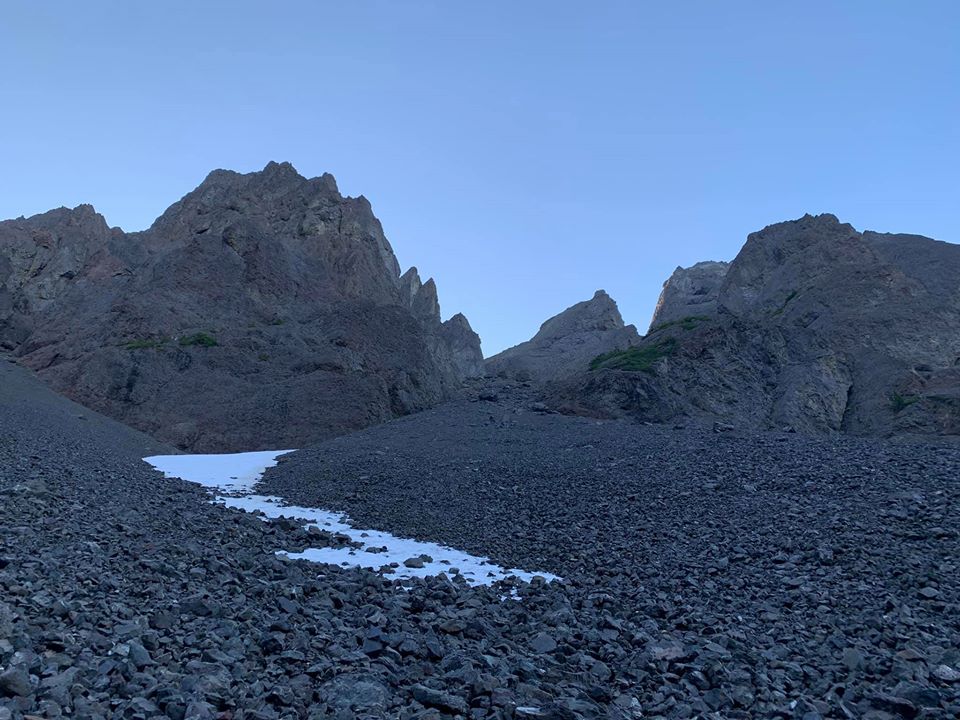
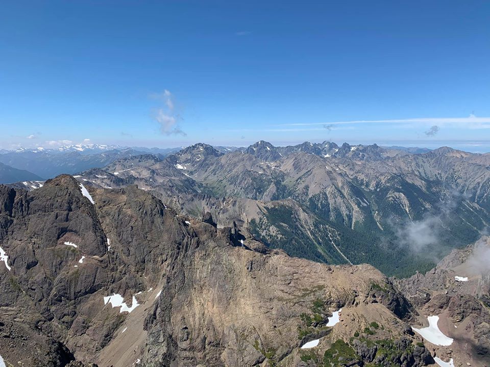
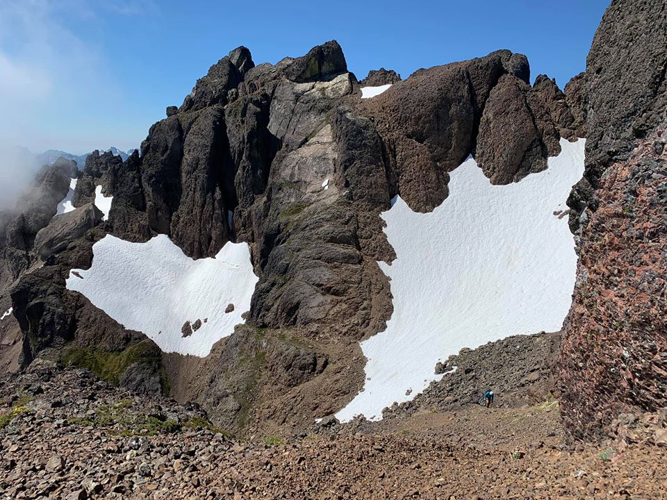
Trip: Constance - South Chute Trip Date: 08/10/2020 Trip Report: With a weird forecast this week my son and I decided to convert our planned five-day trip to the North Cascades to a more modest 2-3 day summit of Constance. We headed over to the peninsula moderately early Sunday morning, arriving at a full road-end parking area with cars backed up the street for maybe 1/4 mile. We found a recently vacated gap for our truck, unloaded the bikes and headed up. Just over an hour later we arrived at the TH, did a gear adjustment and started uphill. We were amused by the signage warning that the trail is not just a "hike", and by the party of three that started up it only to bail within 5 minutes. We then powered through the worst part (the bottom) only to see that around 4000' it got stiff again. We arrived at camp after 4 hours or so, a bit hot and tired. We had plenty of time to wade in the lake, and enjoy the lack of insects. Most people were gone already except one guy floating on the lake fishing (catch and release) Lake Constance after sunset: The next day we were up at 4:15 and headed up Avalanche Canyon. There is almost no snow whatsover left there so we suffered through the tedious boulder hopping followed by endless scree up the S chute, down its other side, and up to the notch crossing the E-W trending spur ridge. All scree and no snow makes the S chute a dull boy: On the far side of the notch there was still a snow patch melted back from each rock wall, and we walked along the one skier's left until it got too moated out, then got onto the snow (now flat with no bad runout), crossed it to rock, and worked our way to the finger traverse. Once there we opted for the bypass on the way in, planning the FT if time and will-power cooperated on the way out. Moat shenanigans (taken on return to camp): The FT bypass After the bypass we scratched our heads a bit about what to do. A really nasty gully led down and we didn't like it, so we traversed a bit, then found a still unsavory, but slightly better gully down to snow, crossed it and then started up the ledge system towards the summit block. The next talus field was also devoid of snow, but not too tedious. Then we were on the summit block and doing a corkscrew to get to the N side of the summit block. View back to the Terrible Traverse and FT: Working the cool ledges on this climb: The final moves seemed a bit high end to solo for my taste. After looking at a few options, I pulled out the rope to lead it. But I ended up just placing one piece maybe 8 feet off the ledge, then topping out. There was a new summit register dated 7/4/20 with a new rap anchor, but the webbing was shredded and we ended up carrying it down, putting new slings in (which may get devoured by rodents over the next days or weeks as well). Olympic Mountain p0rn: Another Smoot in the books! One short rap led us back to regular scramble terrain and we began retracing our steps down. At this point the fog rolled in. We could see enough to get back to finger traverse. Due to the time we spent getting to the summit, including getting gear out already for a short lead and rappel, we opted to just climb the bypass (super chill) then continued to the col on the E-W trending ridge. The skies cleared for us here and we enjoyed some serious scree-surfing down to the basin below the S chute, topped the col, then did more scree-surfing into Avalanche Canyon. Then and there the fun ended and we proceeded to tedious boulder hopping back to camp. Arriving at 7:15 we decided to stay the 2nd night we had reserved on the permit, and hiked out early Tuesday morning. The steep Lake Constance trail went by quickly thanks to fresh legs and Iron Maiden. And the bike ride was a pure pleasure (about 30 min of coasting). Retun to lake: Gear Notes: Ice axe, helmet, 40m rope, small rack Approach Notes: Talus, scree, more scree1 point
-
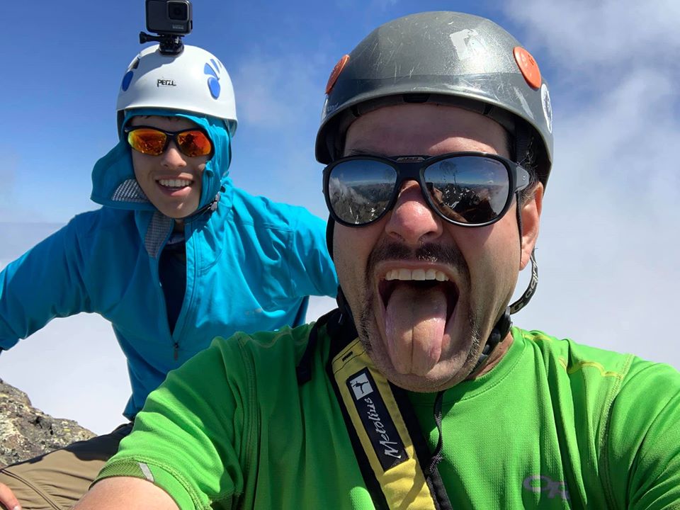
Trip: Mount Anderson - West Peak and Namesake Standards Date: 6/26/2016 Trip Report: This past weekend I had a two day hall pass to get out in the mountains. After half-heartedly reaching out for partners, I realized what I really wanted to do was spend a solitary night in a remote alpine setting somewhere. Better yet, somewhere I didn't know very well. Enter Mount Anderson, the hydrographic apex of the Olympics, and a long way from any road. Saturday morning found me at the end of that road, at least what was drivable. I left my truck a little after 8:00 and biked 5.5 miles up the abandoned Dosewallips River Road. From there a nice 10.5 mile gradually ascending hike through lush forest led to Anderson Pass. Another couple hours up a climbers trail towards the Anderson Glacier and I finally caught my first good view of the massif: The Anderson Glacier is apparently a shell of its former self, with one consequence being that the steep snow finger leading to Flypaper Pass is melting out quicker every year. There was already a small bergshrund at the bottom of the finger which forced me out to the right on easy rock for 20' or so: Then back onto the snow finger and up to Flypaper Pass. It was almost 5:00 by the time I got to the pass but I was feeling good and there was plenty of daylight so after a short rest and dropping my bivy gear I dropped ~400' down the Eel Glacier where I came across a monitoring station: Then traversed west towards the taller West Peak before heading up to a notch in the minor north rib. The view of the summit from this notch: Originally I planned to do the steep snow traverse, but once I saw it and realized it had been baking in the sun and with perched hangfire above, I opted for the "class 3" ridge route. Calling it class 3 is a stretch, it felt waaay more exciting with incredible exposure and horrendously loose rock. Over a couple bumps and a false summit: And on to the true summit of West Peak for a selfie: Looking back towards Mt Anderson proper and Flypaper Pass: Longer views of the rest of the Olympics were mostly obscured by clouds: On my way back to my bivy I came across TONS of glacier worms that had appeared in my footsteps from a few hours earlier: Back at Flypaper Pass by 9:00PM where I made camp, watched the sunset, and let the RPMs from the west peak scramble wind down. If a remote alpine bivy is the kinda thing that makes your soul sing, this place was hard to beat. Sunday morning I woke up with the sun, packed my kit, and again dropped 400' down onto the Eel before traversing east towards the shorter namesake Mt Anderson. An hour plus later and I was on top with spectacular cloudless views in all directions: Hellooo Seattle: Mount Anderson West Peak (7365') from namesake Mount Anderson (7321'): Longer view: The backside of the Brothers: Mt Olympus: Some big volcano: Buncha stuff I don't recognize: To complete my adventure, and since I was already carrying my kit, I dropped down the southeast face and somewhat followed route 3 down from the guidebook: I eventually picked my way down to a pair of small lakes, then up over a ridge and back to the Anderson Glacier basin and hike & bike home. The Olympics once again impressed me. I need to do more trips starting and ending like this: Gear Notes: Ice axe, crampons & mountaineering boots plus trail runners. I also brought an avy probe and a couple aerial photos of a late season Eel Glacier for crevasse management. The upper glacier towards Mt Anderson proper has some legit cracks. Approach Notes: Bring a bike for the road.1 point
-
Trip: Mount Olympus in a day - Blue Glacier / Crystal Pass / Rap Route Date: 8/1/2014 Trip Report: Dave and I climbed Mount Olympus in a day. Final time was 19 hours, 51 minutes round trip. It was 40+ miles and 9,000ft+ total vertical gain/loss. We started from the Hoh River Trailhead at 3am, hit the summit at 12:30pm, and returned to the trailhead at 10:51pm. Overall, the route is in excellent shape. The Hoh River Trail was great. It is no longer necessary to descend the ladder down the washout just before Glacier Meadows - a new trail has been dug into the slope. The loose trail from the top of the ridge of the lateral moraine down to the glacier wasn't bad with poles (and crampons on the way up). The blue glacier was beautiful and blue and we walked straight across without any route-finding issues. There was a good bootpack going up Snow Dome and around Crystal Pass that didn't cross any visible snow bridges in danger of melting out soon. We climbed the rappel route and there wasn't any moat issues getting onto the rock. We still haven't seen the first few miles of the trail in daylight. The washout before Glacier Meadows. The ladder is unnecessary, note the new trail dug across the slope on the upper right. Lots of running water on the glacier, forming deep Moulins. The route around the southwest side of the false summit to the summit snowfield. Bridge over the Hoh River where the trail turns up the valley. Full Album: https://plus.google.com/photos/103764998885643953728/albums/6043425121260634209 This was first time either of us had done more than 20 miles in a day, so I think we did ok for doing more than 40 miles! We started cramping about mile 11, and Dave had some toe bang on the way down. Huge respect to off_the_hook for such a ridiculous 11h6m time: http://cascadeclimbers.com/forum/ubbthreads.php/topics/895000/TR_Mount_Olympus_FKT_Blue_Glac Our (very slow) splits: Steel Bridge, 12mi?: 2h43m Glacier Meadows, 17.5mi?: 4h29m Snow Dome: 7h22m Summit: 9h30m Glacier Meadows: 12h45m Steel Bridge: 14h27m Trailhead: 19h51m Gear Notes: - Trail running shoes for the first ~19 miles from the trailhead to the top of the lateral moraine. - Lightweight mountaineering boots with strap-on aluminum crampons for the Blue Glacier and above. I had no problems climbing the 5.4-5.6 rap route in mountaineering boots (Scarpa Chamoz). Dave didn't get enough mixed climbing in this winter and climbed the rock pitch in steel crampons . - 30m skinny glacier rope. Didn't come out of the pack until the rock pitch, since the glacier was bare and there was a good bootpack on the snow sections. - slings, 3 cams, nuts. I think we used two cams and slung a chockstone and a horn. - 30m tag line to pull the rope after the rappel. - Two whippets instead of an ice axe and trekking poles. - 1x picket, never used. - 12x Succeed Caps (salt pills). I should have brought twice as many. My calves started cramping around mile 11 where the trail starts to gain elevation, probably because I wasn't replacing all the salt from sweating. - Gu, protein bars, cliff bars. - Small Jetboil between the two of us + 1x Mountain House each. Never used.1 point
-
One last thing. I would be in support of an amendment to the Wilderness Act specifically aimed at preserving historic structures and maintaining trail systems with motorized equipment (w/o road building). The STIHL amendment? Maybe I'm way off on this though- what do you guys think of such heresy?1 point


.thumb.jpg.07abf8a386aaf5bcdfaf5525c8d29379.jpg)
.thumb.jpg.356679489a257f438e0eeaa776120b7b.jpg)
