Leaderboard
Popular Content
Showing content with the highest reputation on 12/08/19 in all areas
-
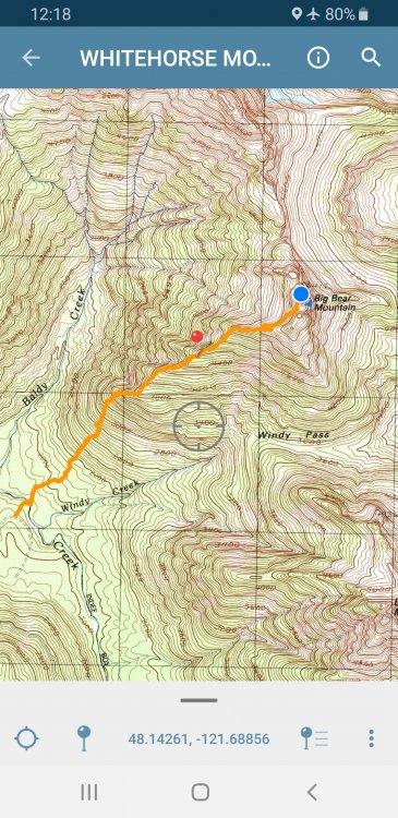
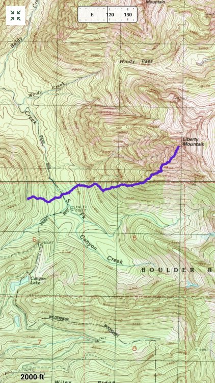
Trip: Big Bear! - Brushtissima Trip Date: 11/11/2019 Trip Report: With all this attention on the NW couloir on Eldorado the past few weeks, Kit and I succeeded on a smash and grab ascent of BIG BEAR! last weekend. @Kit is in the midst of a noble mission to climb all the Cascadian peaks visible from his office in Everett and I'm well, I'm just a bit "special". We happened to catch it in "near perfect" conditions, I am happy to report, and suspect others may be lining up during the next fine weather spell this week. The ankle biting huckleberry have shed their leaves, leaving them only 50% as annoying as they are in high summer. And, most all the snow is gone, meaning one shouldn't worry about tiring themselves out kicking steps up straightforward snow slopes. To top it off, all of the flagging has been eaten by deer, meaning that a "fair means" ascent is nearly guaranteed. Why this brushy beast isn't more popular, I'll never know. Or, maybe it is popular? There is no register so it is tough to figure how many people are as "savvy" as us. All I know is that the 4130 isn't going to get less brushy in the next few years, so if you want either Liberty or BIG BEAR! in the next lifetime or two, you'll want to go now. Just don't expect flagging or the Instagram hordes to show you the way. The Brushtissima on BIG BEAR! (actually not that bad): @Kit working up the ridge above the "Moffitt Step": I just needed an eagle: Typical terrain: Liberty: Tahoma, but you knew that: Interesting angle on Hall, Big Four, Columbia, etc: The air was exceptionally clear, Everett and Kit's office standing out: The final few feet to the summit of Big Bear: East to Dakobed and Pugh above Exfoliation Dome: Anybody home on 3 Fingers? Jumbo, the slabbage patch, and Ulalach: Liberty from the summit: Squire Creek valley and its namesake walls: Gear Notes: eye protection, leather gloves, whiskey. Ice axe, crampons, and helmet some part of the year. Approach Notes: I somehow deleted my GPX track, not that it will help you much. Just look at the image in the TR for an idea of where to go. Just make sure you don't miss the Moffitt Step!1 point
-
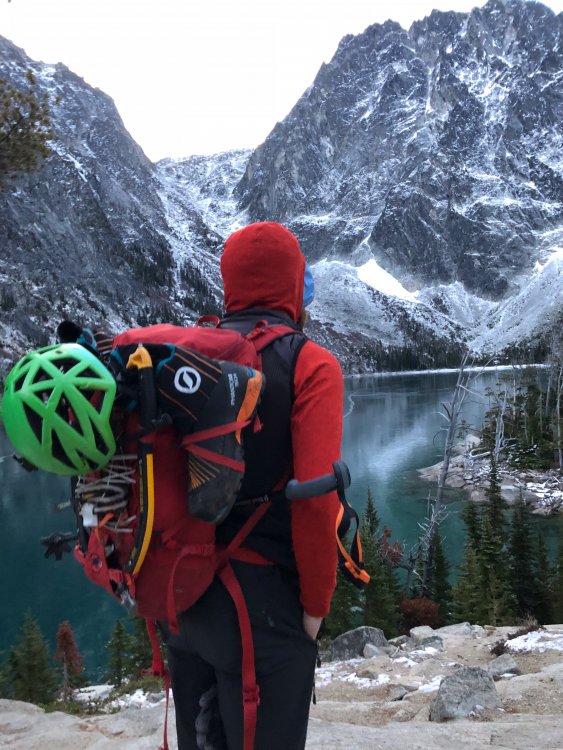
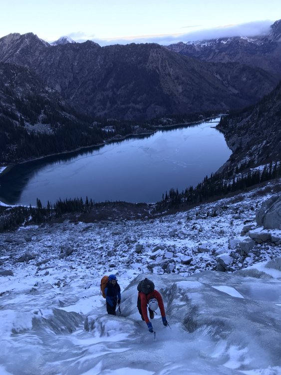
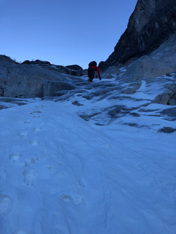
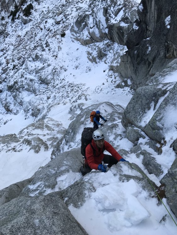
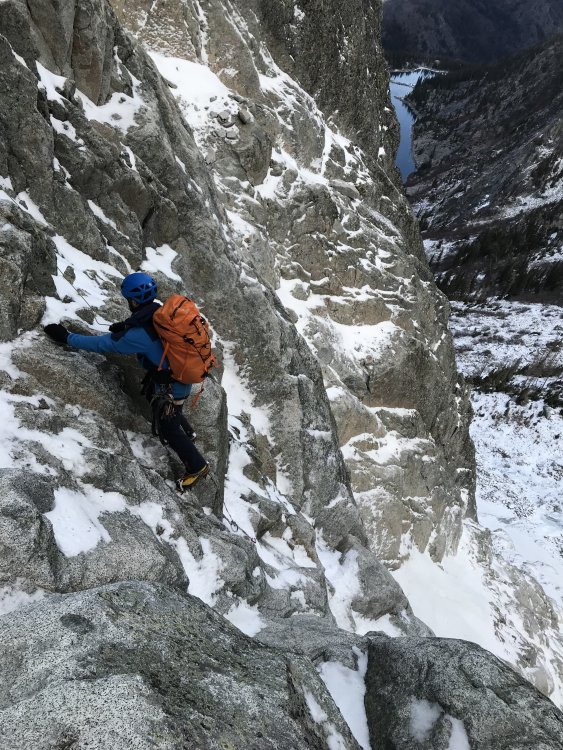
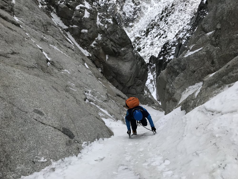
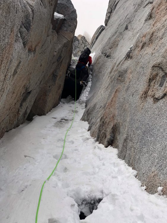
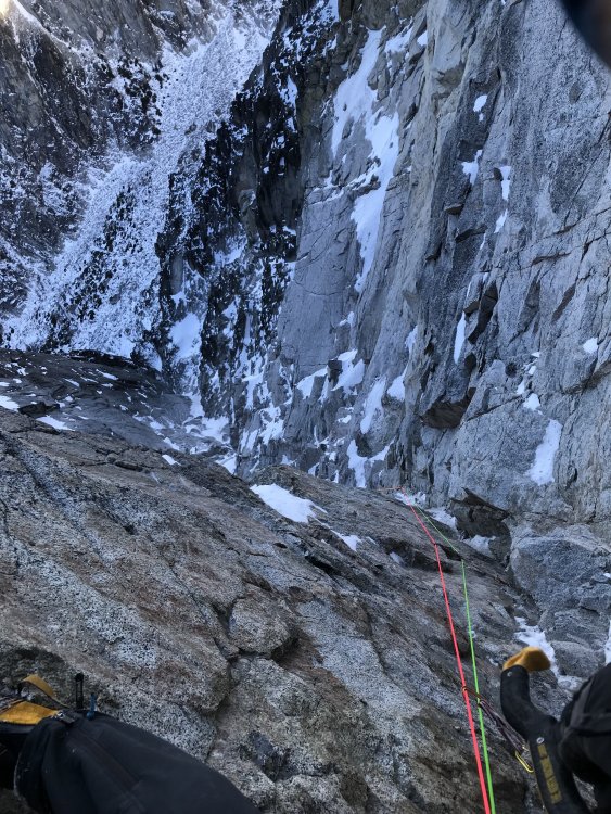
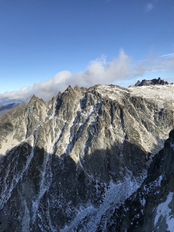
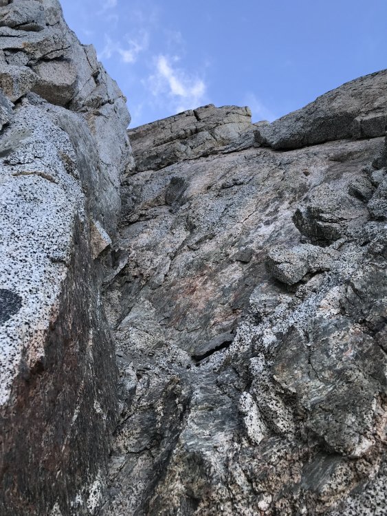
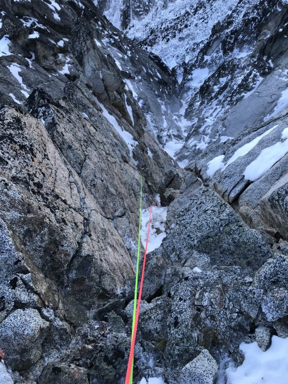
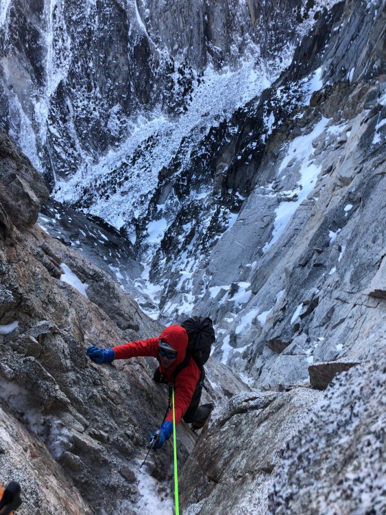
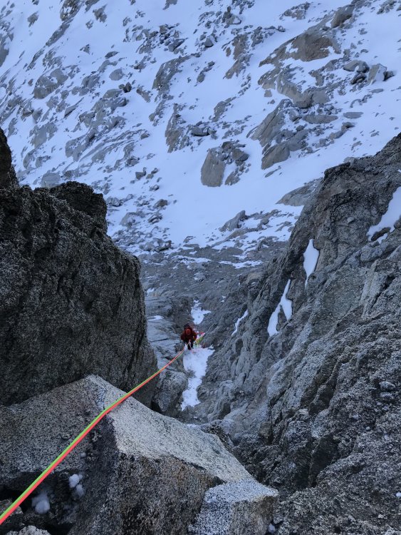
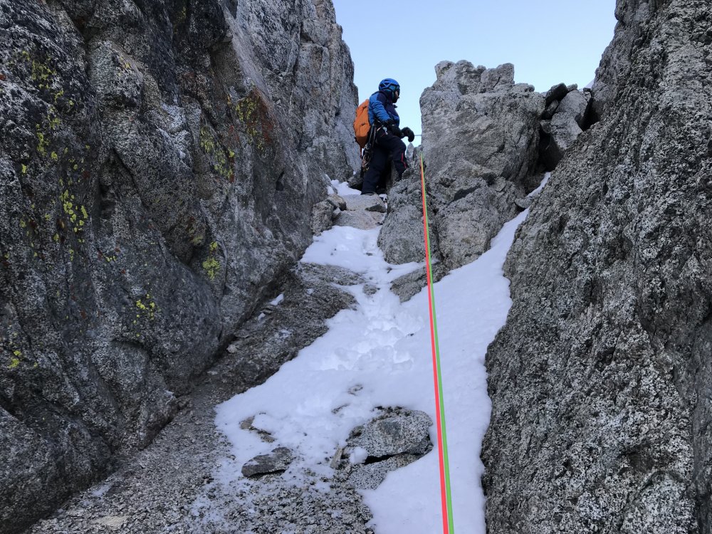
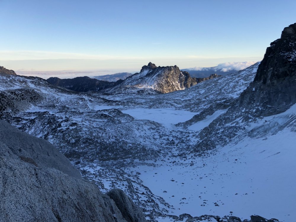
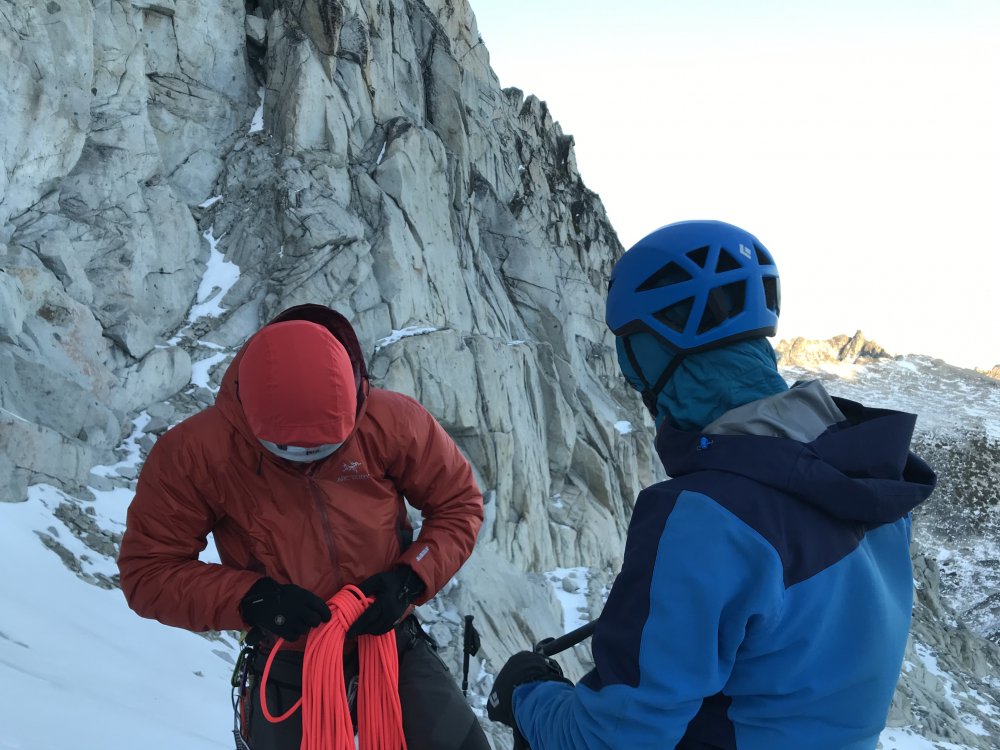
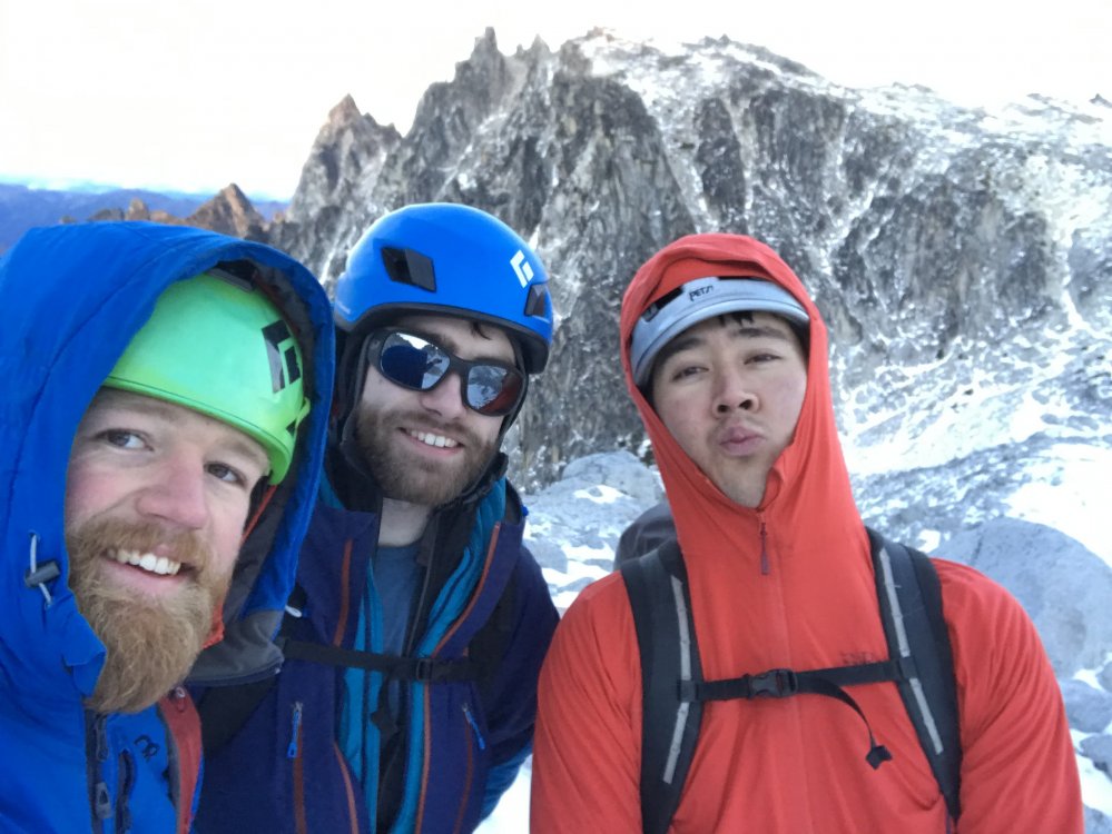
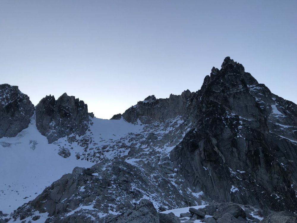
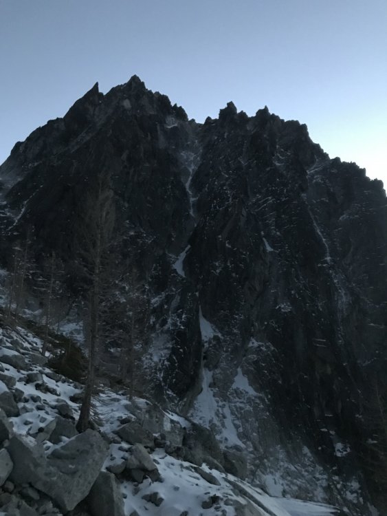
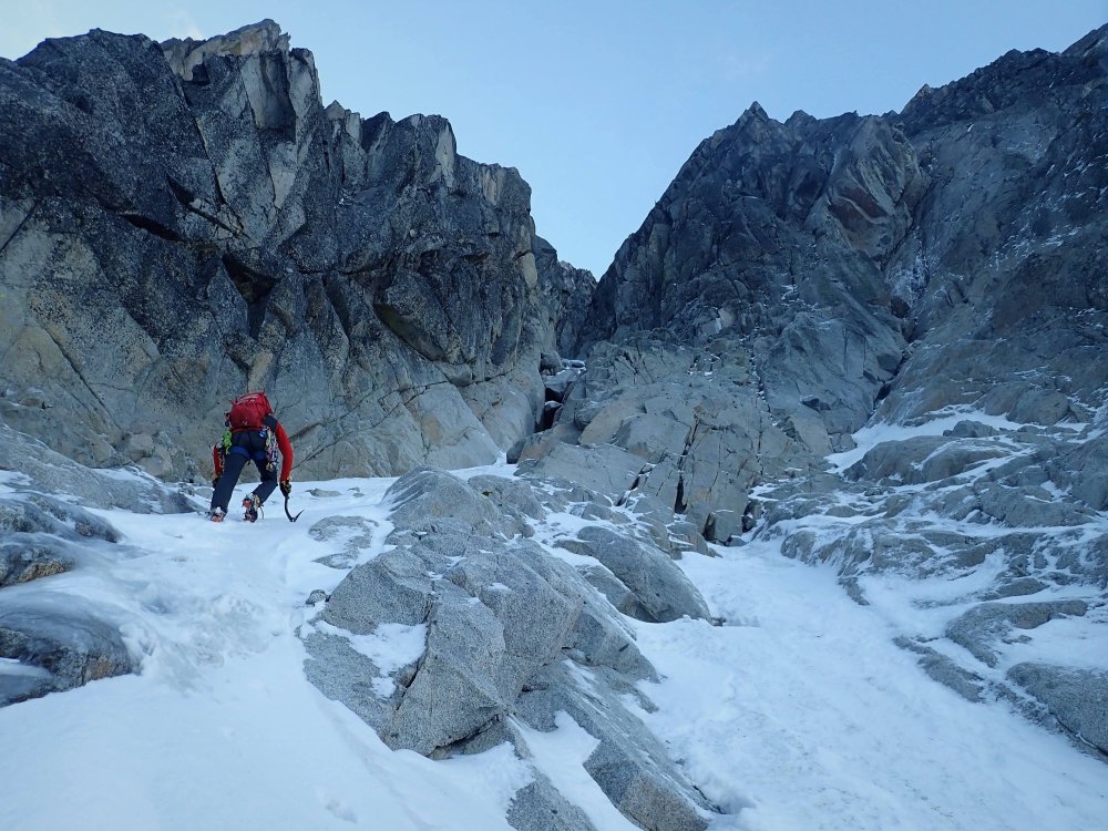
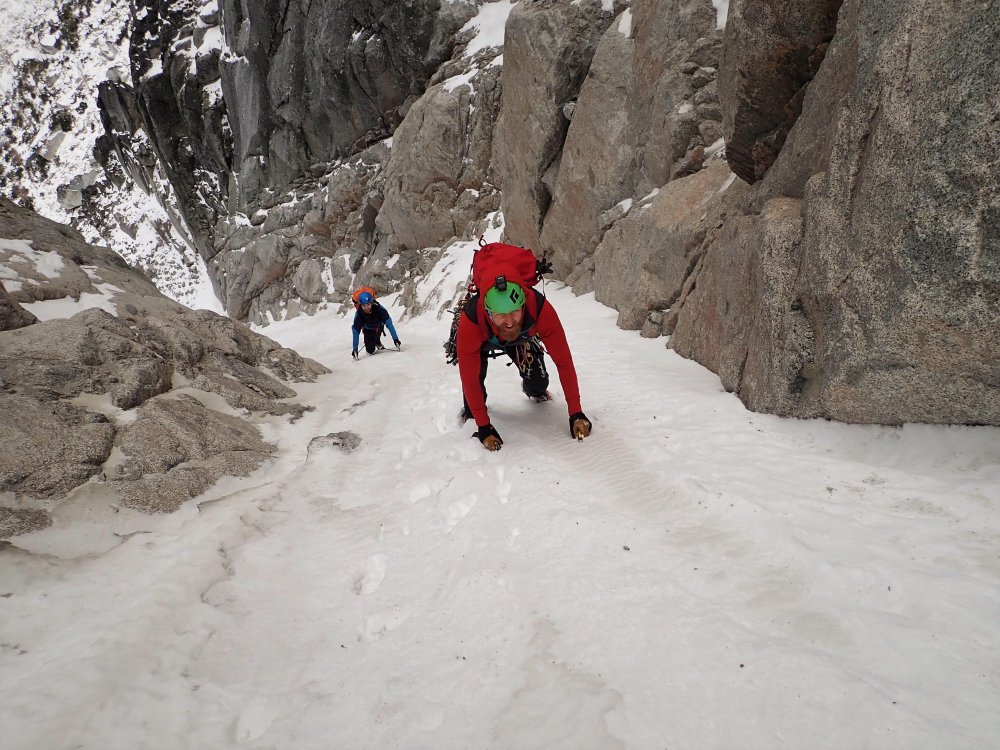
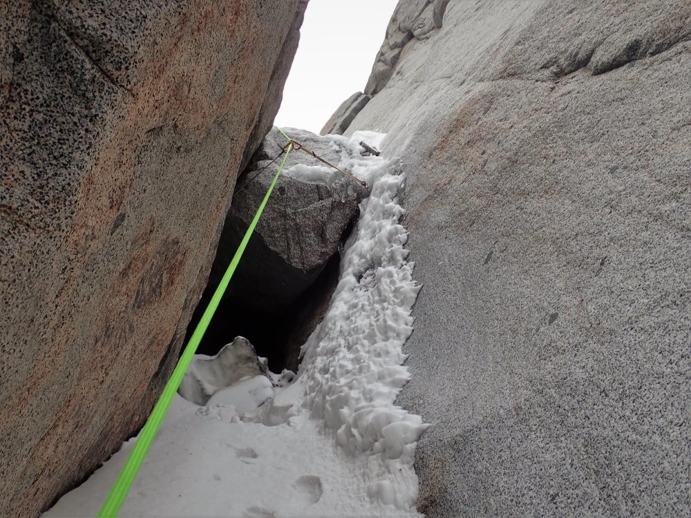
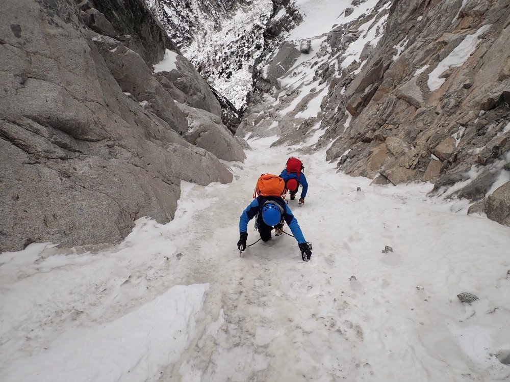
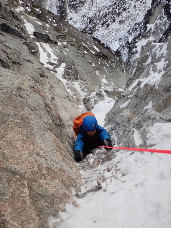
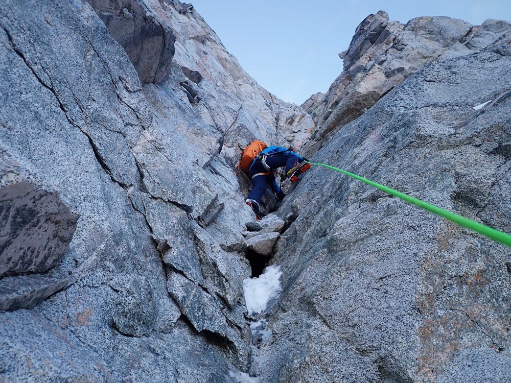
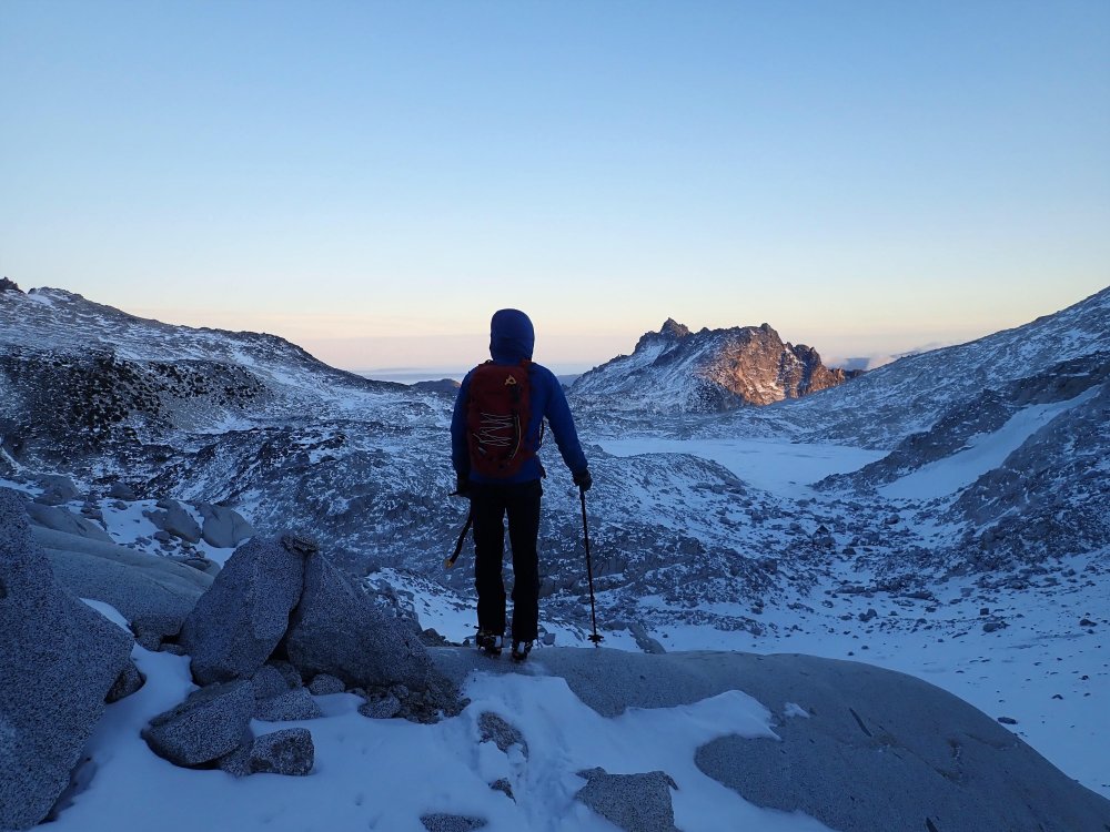
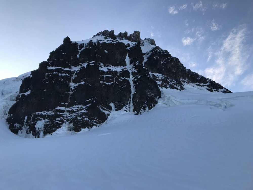
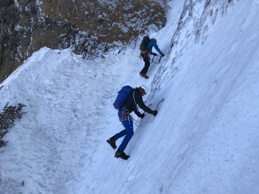
Trip: Dragontail Peak - North East Couloir Trip Date: 11/23/2019 Trip Report: I got out for a stellar day with Kyle and Daniel on Saturday (November 23, 2019). Following a few weeks of mostly high pressure and moderate temps, but with a storm front moving in, we were curious about conditions in the Stuart Range. Kyle brought this route to my attention, as I hadn't even heard of it. We found a TR on here from November 2008 and this inspired us to go give it a look. Be sure to check the trip from Kyles perspective at https://climberkyle.com/2019/11/23/dragontail-peak-ne-couloir-wi2-m5-r/ After leaving the trailhead around 5 am, we found more snow on the surrounding peaks than expected, which was promising considering the lack of recent precip, except for a day or two the week leading up to this. We knew the weather was supposed to deteriorate and winds were supposed to pick up throughout the day so we hurried to Aasgard Pass. We switched to boots and crampons where the creek down the pass was frozen and flooded over the boulders. At around 8 we started soloing up easy little water ice flows toward the base of the couloir. At the base of the couloir, we could see the first dry section that leads into the couloir and it didn't look too hard. We opted to rack up but solo up it. It was a tad techy so I fixed a cordelette as a hand line in a few spots for extra security. Above this, we were on variable steep snow. Throughout the couloir, we found everything from thigh-deep wallowing, to firm neve front pointing. About a third of the way up the couloir, there was a steep/overhung chockstone with a thin ice/snow flow on the right. I led up and over this with some mediocre gear (a tied off 10cm screw and a cam lower). Above this, we soloed a bunch more steep snow until our gully ran out of snow and we did a pitch traversing 30ft right over rock slabs to a different snowy gully. Now we were approaching the top of the couloir and it was starting to open up and become drier. Just 2 more pitches took us to the top but, wow, they were seriously full-on. The first pitch was a series of near-vertical granite steps with steep snow in between. This was perhaps the technical crux as there were quite a few delicate moves but also some dark brown ice that took good sticks, as well as generally good gear. I belayed off a horn, looking up at the last pitch, which appeared to be 100% dry. I was tempted to ditch the crampons but kept them on since the only bomber feet I had gotten on the entire last pitch were in the few small patches of ice and I was still hopeful that there would be ice above that I couldn't see. Once Kyle and Daniel got to me, I mentally prepared to take the sharp end for hopefully the last time of the day. There had been a lot hard and sketchy climbing already, and the hardest/scariest was still yet to come. I started up the pitch, immediately finding that the rock quality was deteriorating. I was mostly climbing with both my axes racked since the rock was so bad. It seemed like the majority of holds could be pulled off and gear was sparse. When I finally got good gear halfway up the pitch I yelled "take" and sat back for a sec to breath. I took a few photos, looking both up and down. From then on, I didn't get another piece of gear. Eventually, I could see the ridgeline 20ft above me and was eager to get there. All that stood in my way was a steep kitty litter chimney, devoid of any gear of course. At this point, I had my gloves off since I was just rock climbing with crampons and its nice to be able to feel all the holds that will inevitably crumble in your hands. I started up the chimney, with my pack pressed against the right wall, my crampons finding edges in the left wall, my arms finding chicken wings and armbars, and cursing like a sailor. Thankfully my gopro had already died. I wouldn't mind forgetting this pitch. Down below, Kyle and Daniel were experiencing a constant flow of gravel filling their hoods. I remember throwing one hand up over the ridge onto a jug and letting out a sigh of relief before mantling up and finding an extra bomber belay. The wind up here was absolutely ripping and I got cold quickly while belaying. I was wearing all my clothes and had sweated a bit on the previous lead. The forecasted winds (60mph) had arrived and there were now intermittent clouds, but the sky was still mostly clear. Our weather window was certainly closing. Kyle and Daniel enjoyed the pitch far more than I did and both arrived at the belay with big grins, especially since they could climb near each other and watch all the holds break off. Since I was cold and antsy to move I let them break down the belay and sort out the ropes while I looked for the "traverse to the notch." I found it, but accessing the notch looked just a bit spicy. I wanted to solo it but realized I was just cold and anxious to get down and out of the blasting wind and gravel so I lead it with one rope and gave each of them a terrain belay up to the rap station where a single 60m rap got us out of the wind and to a point which we could walk from. We were out of the wind and off the technical terrain. It was a big relief for me. However, the light was fading and Aasgard pass is never fun to head down. There was a set of tracks up to the summit proper of Dragontail which we followed downhill and down the pass. As the light faded I snagged a photo of the route from across the pass. It looked pretty impressive, I was briefly proud but mostly humbled. We talked briefly about the climb. Perhaps there were mistakes. It would have been possible to bail down the route once we saw how dry the upper pitch was. I was enticed to just climb it since the ridge was practically 80 or 100ft away and bailing down the route would have meant leaving gear and taken a lot of time. Hard choices. Of course, you will never know exactly how it will be until you're in the thick of it, but perhaps we/I made too bold of a choice and got lucky (on the other hand, down climbing the snow would have also been tricky). Food for thought for anyone who has made it this far through the trip report. I try to stay safe and climb hard, but its a tricky balance. Anyway, we got back to the car around 8 pm and headed to McDonald's. All in all, it was a very fun day with 3 competent 22-23yr old Washington born and raised climbers. And for anyone curious about this route right now, I would steer clear! In the coming days, I'll post some first-person climbing video on my insta @porter.mcmichael First, a photo of the route, taken on the descent. Looking up at Dtail Approach ice Still on Asgard Dry pitch to access the couloir Fun steep snow! Chockstone in the middle of the couloir Looking down on the last pitch (I think) Looking up in the middle of the last pitch From the ridge looking down the chimney Looking North from near the top Kyle on the last pitch Daniel on the last pitch Down the rap Gear Notes: 3 screws (placed 2), 4 pins and a bulldog (surprisingly didn't place any), nuts (placed a few), cams .2-2, some doubles in the smaller sizes (placed them all), 60m doubles. Approach Notes: On your right, halfway up Asgard, hard to miss it. The slabby approach pitch is the first obvious way to access the gully (farthest climbers right)1 point
-
Trip: LIBERTY - The path of freedom Trip Date: 06/01/2019 Trip Report: Sometimes you see a mountain enough that it must be climbed. Such was the case for @Kit and I and this mountain called Liberty. Both of us have been driving by it for more years that we care to think about. That, and who doesn't want to be free?? Despite the reports of horrendous brush, washed out roads, and failed attempts, we were smitten. What is wrong with us? Well, we don't have time to cover all that here. But, if Liberty is wrong, I don't want to be right! It helped that we happened to stumble upon an actual pleasant route up and down the peak, with minimal brush. Really! I even recorded a track for all you obsessive P2K baggers out there. So go get it before the brush reclaims the 4130 road once again..... The massive south face of Three Fingers: LIIIIIIIIIBBBBBBBBEEEEEEEERRRRRTTTTTYYYYYYY @Kit crossing the South Fork of Canyon Creek: Pretty reasonable actually: The upper part of Liberty: The view north into the Slabbage Patch: I remember some good trundling down this face in about 1994: We only used the rope for a short rap on the way down: Extreme! More South face of Three Fingers Who doesn't love LIBERTY??!! and lots of solitude? And blown out roads? And blown up stuff? Gear Notes: We brought a rope and used it in a couple places to rap on the way down, mainly because we had it. We didn't rope for the two 4th class bits on the way up. It is actually likely better after the snow is gone and the crossing of Canyon Creek low. Approach Notes: Walk 4130 for 4 miles or so until you intersect the GPX track I've posted. It will serve you well to the summit and back. A couple more years and the road will be totally brushed in and very annoying. Go now! LIBERTY!!!!! 6_1_19 8_30_51 AM.gpx1 point
-
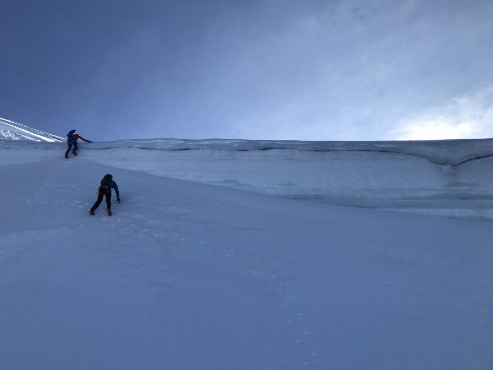
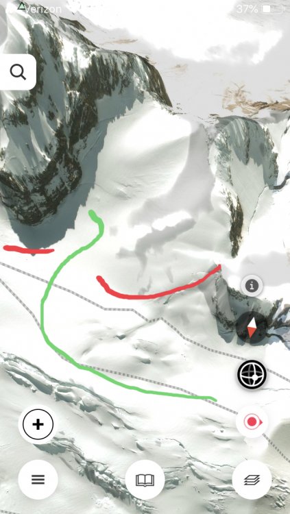
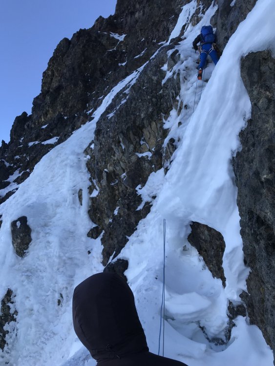
Trip: Colfax Peak - Cosley-Houston Trip Date: 11/10/2019 Trip Report: Not going to do a long TR here since there are plenty of TRs on the Cosley-Houston. This will just be a quick update on conditions for those interested. First off, I was wrong when I posted a week or two ago that the approach is heinous/convoluted. You just have to stay a bit lower now and wrap around to the base, it's not an issue as long as you don't go up too early. I guess I, and several other parties, tried to go up too early and got blocked by cracks so people thought it was going to be difficult. See the photo below outlining the current approach. Anyway, Eric Carter, Paul Greenwood, and I left the parking lot at 4:11, tried the new glacier approach, it went smoothly and we were soon at the base of the route. The first pitch is great, decent pro (better than last year). The crux pillar is pretty full-on right now. Maybe 20+ft of dead vertical ice, pretty chandeliered at parts which makes sticks less confidence-inspiring and pro a little trickier. Right now, the vertical section of the pillar is perhaps twice (or maybe 1.5x) as tall as it was last year. It felt very hard to me and 4s normally feel hard, so maybe its a 4+ or maybe it's just that I'm not in ice shape (mentally) right now. Anyway, if you go up there, expect it to be hard and bring the screws to make it "safe". Above there, the snow traverse below the next step is in (barely) but the ice also looks climbable. We opted to not climb it because there was a lot of stuff coming down, including golf ball size rocks and smaller ice, but it looks fun if you can get it in, the top out looked a little thin so a belay might be tricky. Above there it was a cruise, perhaps a little thin for the last 200ft, one 5ft section of actual ice over rock just before the top. We topped out 7hrs after leaving the car. Finally, the descent is straight forward and the major crevasse we were worried about proved to be a non-issue because it's filled in enough at one spot that it can be downclimbed. Feel free to reach out if you have any questions, I'll post a video of leading the crux pillar on my insta @porter.mcmichael Also, someone else got to the route before us as we were following several day old tracks up the route, awesome! Additionally, another team could be seen starting up the route as we were descending through the football field. Directions through the glacier: Polish is looking good... Anyone want a belayer up there? First pitch On the thrilling pillar... Entering the tight couloir to the top: Couloir near the top: View of Lincoln: Looking down over the problem crack: Looking back up: Lastly, a few route close-ups, sorry we didn't get an actual photo of the pillar! Thanks to Eric for a lot of those photos! Last time I climbed this route was exactly a year ago and the conditions were very different, as you can see here! Gear Notes: 12 screws, could use one or three less, brought a picket but didn't use it. Approach Notes: See above!1 point
-
Trip: Eldorado Peak - NW Couloir Trip Date: 11/02/2019 Trip Report: Yesterday my friend and I climbed the NW Couloir of Eldorado Peak. Left town early morning Saturday and started hiking around 6:30. Used the log crossing directly across from the parking lot. Didn't investigate any of the others down stream but the recent culvert work on the road might have affected them. Currently snow starts at the tree line and no floatation is needed. Its very firm on all aspects/elevations. Theres an occasional loose dry pocket here and there. Hiked up to the toe of the east ridge and dropped off bivy gear. Started the trek over to the Eldorado/Dean col shortly after. Rapped out of the col with one 60m rap since we brought the twin ropes. Theres currently a two piton anchor at the top of the col with fresh cord. I didn't notice any other existing rap stations on the way down, but we weren't really looking. Dropped down a bit towards the bergschrund and got the first glimpses of the route, which looked to be in really great shape. We climbed it in three pitches followed by one simul block. The first pitch was the thinnest and protection was very sparse. The second and third pitches protected well and consisted of perfect neve with thick, vertical steps of ice. After that the angle of the couloir eased off we we decided to just simul the rest. Again, perfect neve with easier steps of thick ice. We got up to the flat spot below the summit ridge, ate and packed the ropes up. We arrived at the summit just as the sun was setting and were rewarded with a wonderful clear sunset that lasted all the way back down to us arriving at our camp. We were pretty damn tired when we got back. Hiked out this morning without issue, snow travel was still very easy. On the way out we ran into another group of two planning to climb it. This was such an amazing climb. Perfect conditions, perfect weather. Easily in my top ten routes. Looks like its supposed to stay nice for a bit longer, get on it if you can! Gear Notes: Cams to 2" (used mostly .3 through .75), assortment of pins, small set of nuts, ice screws 1x10, 3x13, 2x16 (used every size, would maybe toss another stubby on there). Ice tools and crampons. 60m rope(s) Approach Notes: Trail runners to the tree line. No floatation needed.1 point


